26th September 2021 - Street Gate to Littondale and back
Walk Details
Distance walked: 12.0 miles
Total ascent: 1754 ft
OS map used: OL2 - Yorkshire Dales, Southern & Western areas
Time taken: 6.5 hrs
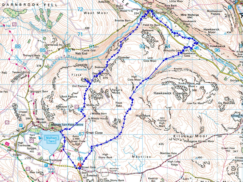
Route description: Street Gate-Malham Tarn-Monk's Road-Middle House Farm-Monk's Road-Arncliffe-Littondale-Out Gang Lane-Arncliffe Cote-High Cote Moor-High Lineseed Head-Great Close-Street Gate
I decided to head for the Yorkshire Dales this weekend and do a walk that I'd already done several times before, and I knew that I would enjoy. The last time was eighteen months ago in March 2020, and was one of the last walks that I did before the COVID-19 pandemic struck and the first lockdown was enforced. On the previous occasions I've started from Arncliffe, and done the route in both directions, but this time I started from Street Gate above Malham. It's a bit closer to home and there's plenty of parking on the verges by the moorland road. After a grey start it was forecast to brighten up and it soon did, so that I enjoyed quite a bit of sunshine for crossing the moors to Arncliffe and for the walk down Littondale. Unfortunately, the skies clouded over for the return across the moors back to Street Gate. The warm sunshine was nice while it lasted though. I had hoped, but didn't expect, to take in the waterfall in Cote Gill. It's been so dry recently that there wasn't even a trickle.
From where I parked at Street Gate I took the track towards Malham Tarn, and joined the Pennine Way to make my way along Malham Tarn's eastern shore. Just before the trail leaves the tarn and enters the woods around Malham Tarn House I took the footpath on the right (Monk's Road on my OS map) and followed it to Middle House Farm, then the bridleway from there north past the ruins of Middle House, and northeast across the moors and down to Arncliffe (with a small detour to Middle House Hill). I then made my way through Arncliffe to St. Oswald's church and took the footpath down Littondale to reach Out Gang Lane, which I walked up to reach the main road up the dale, where I then turned right and walked across the bridge over Cote Gill to reach a bridleway on the left. I took this bridleway and followed it past Arncliffe Cote, up onto High Cote Moor, then southwest across the moors, down to and across the ford at Great Close Mire, and then on to Street Gate and back to where I was parked.
Route map
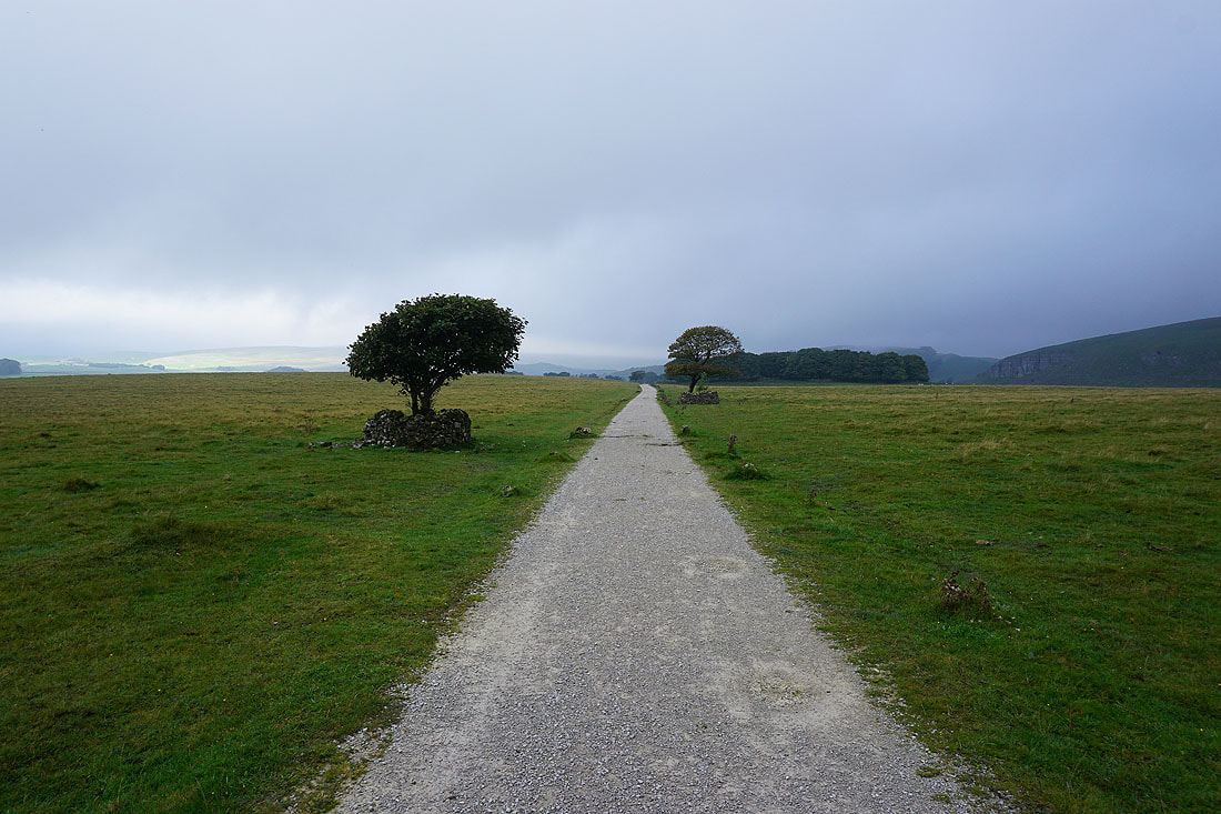
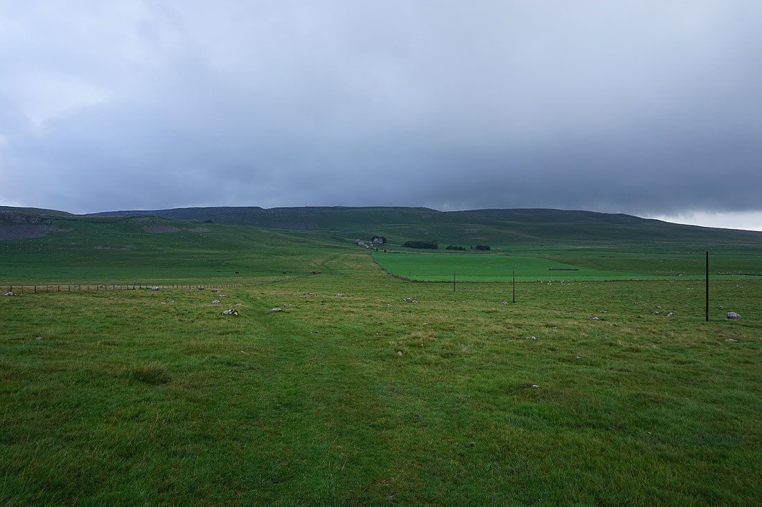
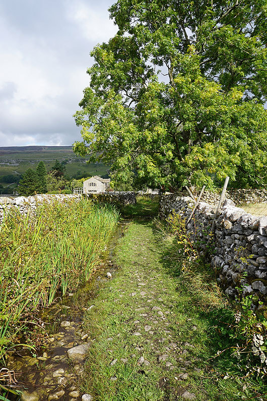
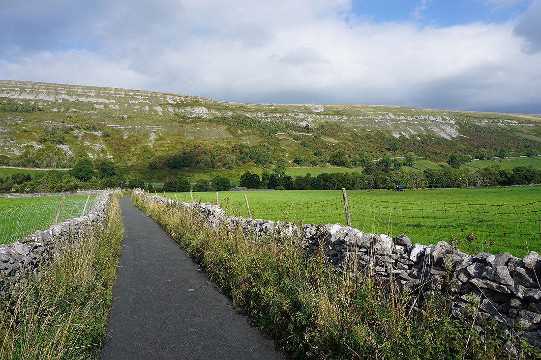
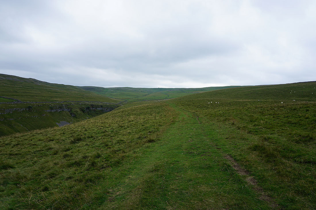
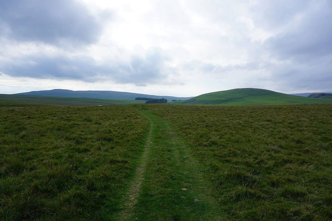
Heading along the track from Street Gate to Malham Tarn
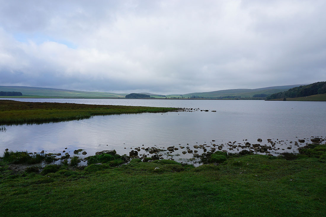
It's a grey autumn morning by Malham Tarn..
From Malham Tarn I take the Monk's Road path to Middle House Farm
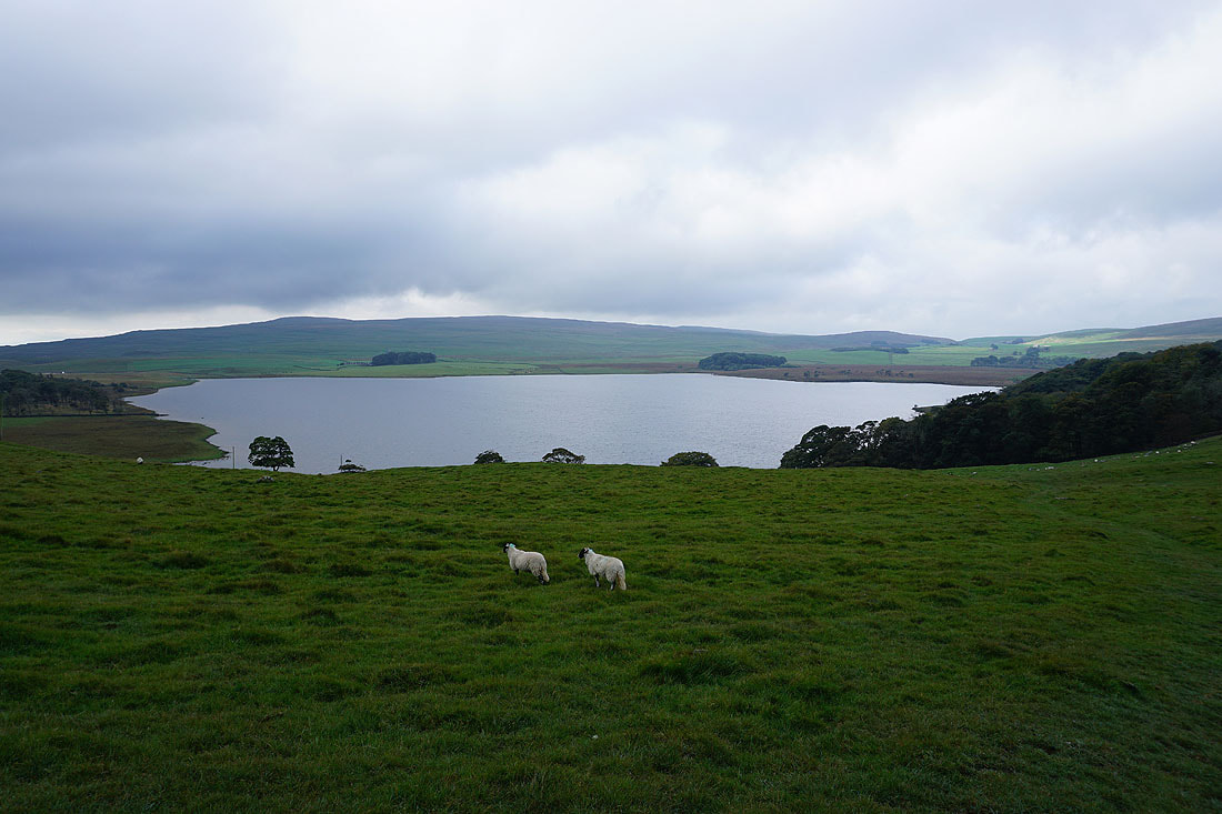
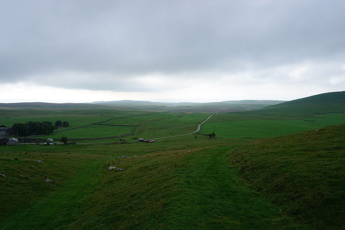
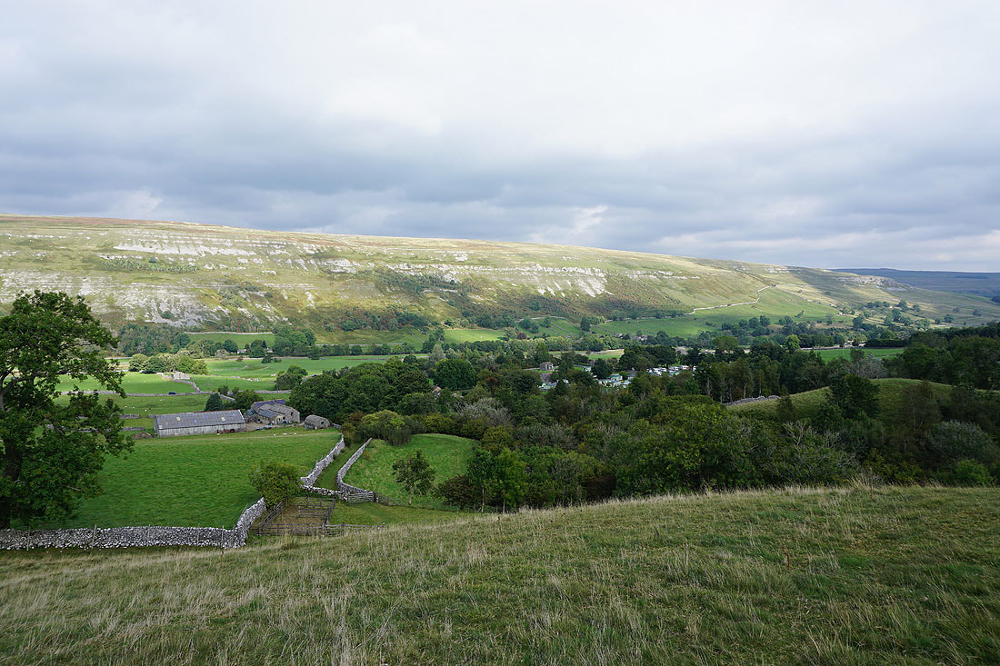
Looking back from above Middle House Farm
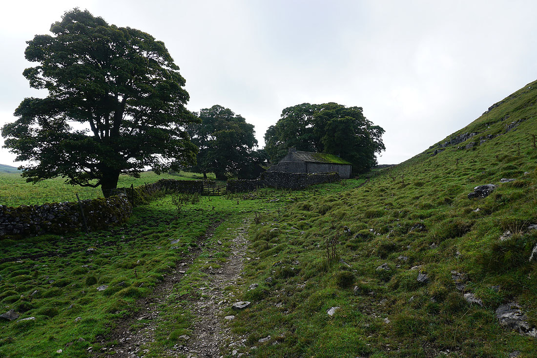
The ruins of Middle House
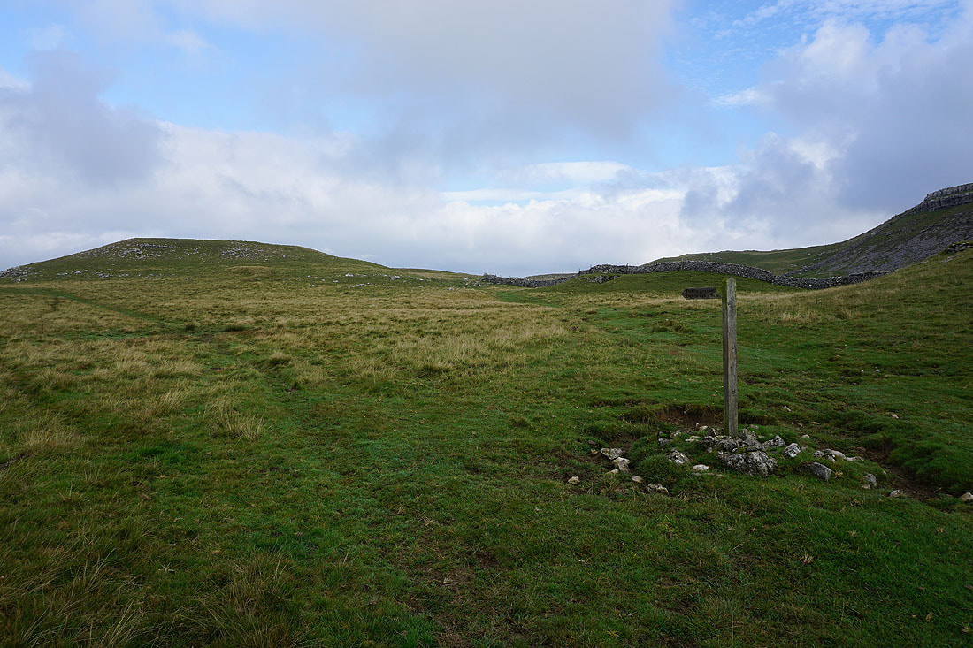
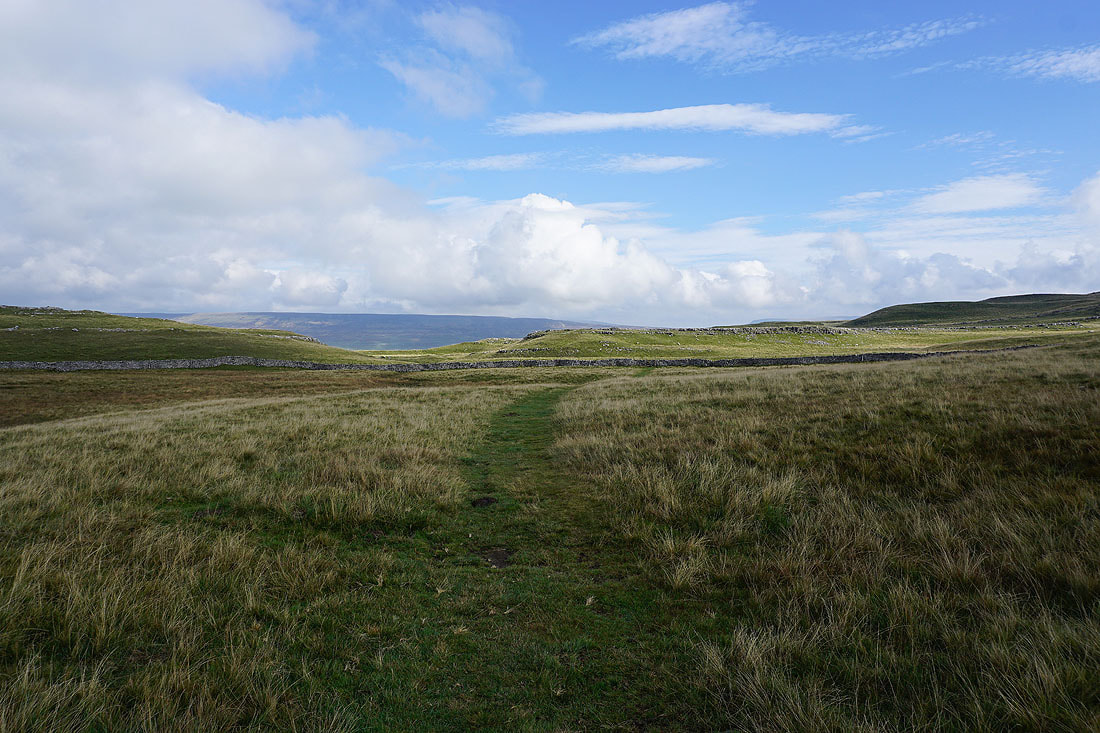
At a fork in the road and I go straight ahead on the path to Arncliffe
Looking back to Middle House in its stand of trees
Crossing limestone moorland on the path to Arncliffe
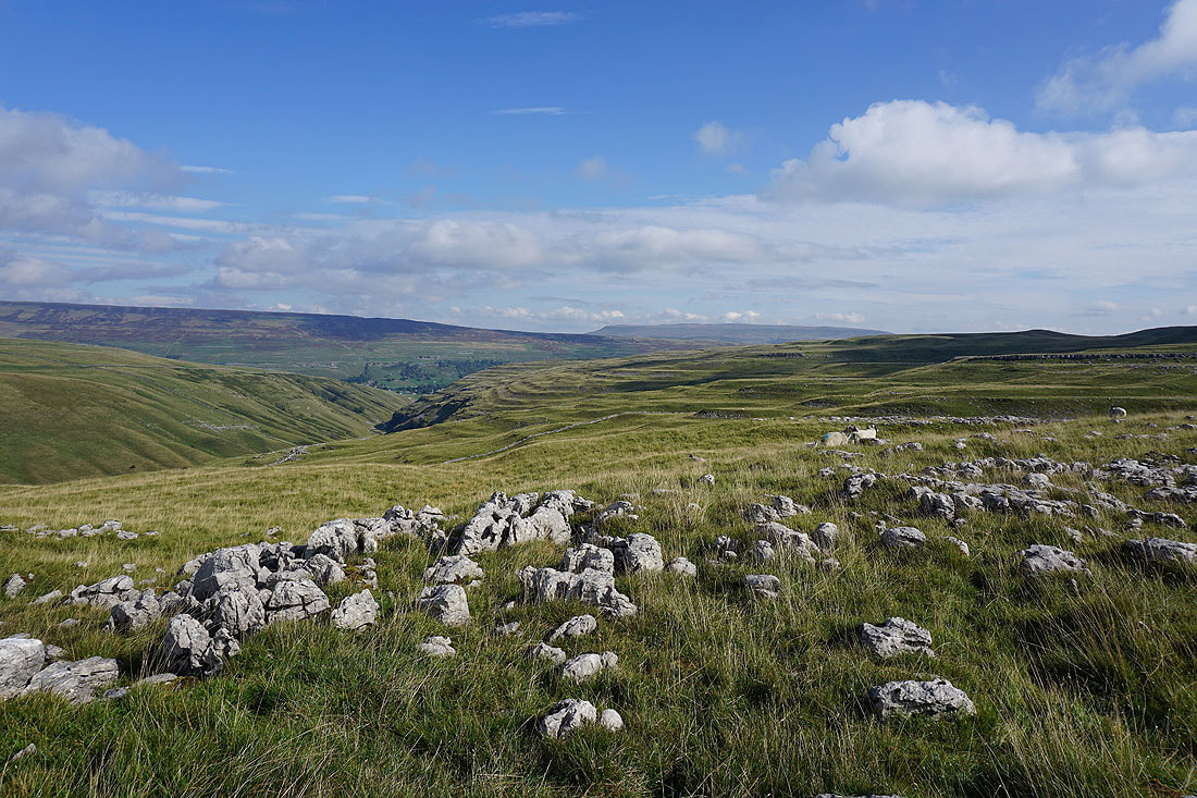
A diversion from the path brings me to the top of Middle House Hill. I get a view down the valley of Cowside Beck into Littondale, and to the summit of Great Whernside on the right.
Darnbrook Fell to the north
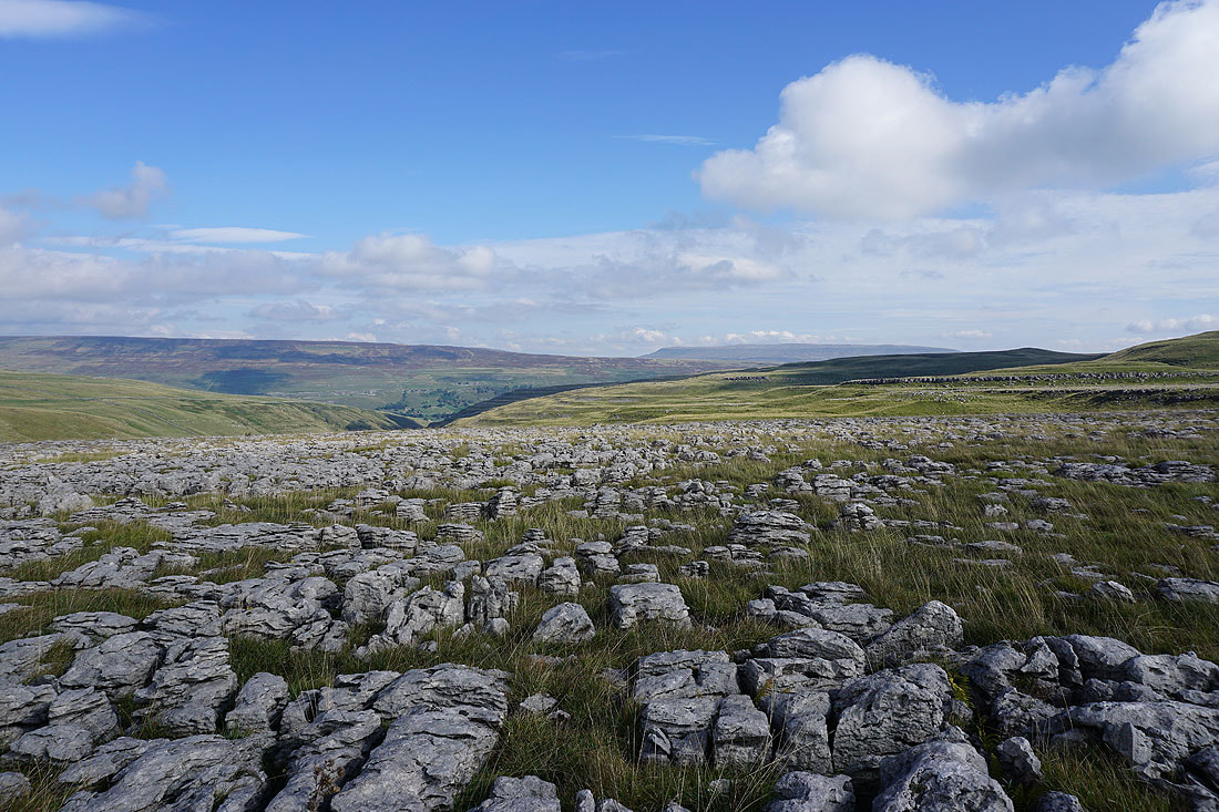
An extensive area of eroded limestone pavement
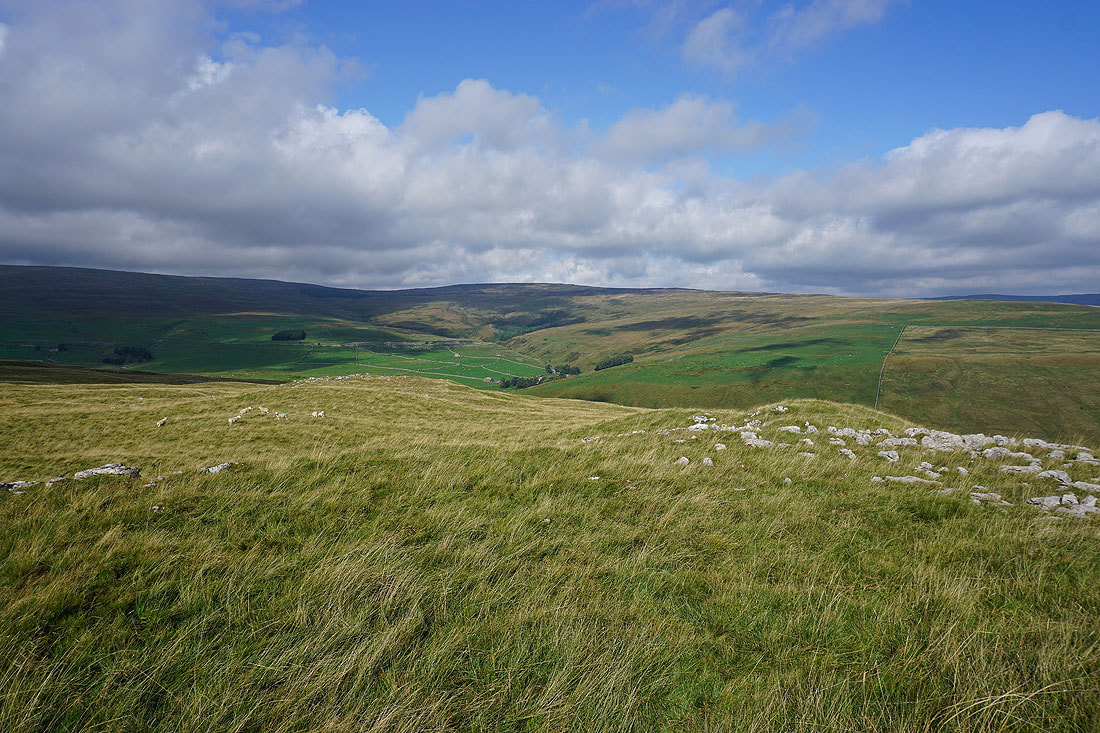
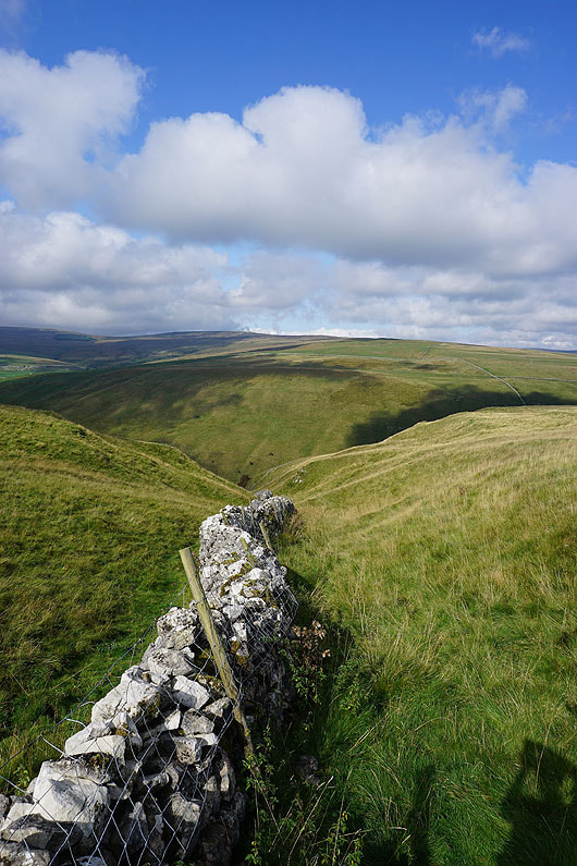
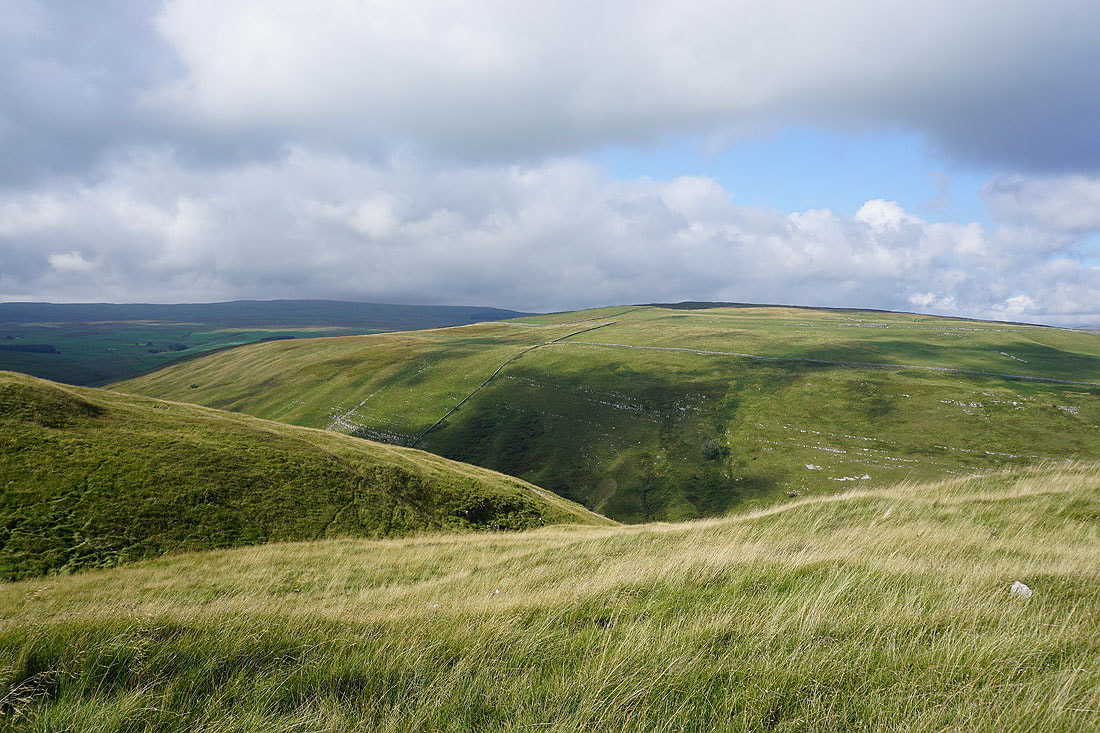
Back on the path to Arncliffe with views across the steep sided valley of Cowside Beck to Darnbrook Fell..
Approaching the descent to Arncliffe
The top of Yew Cogar Scar is worth a visit first though. For the view up the valley of Cowside Beck..
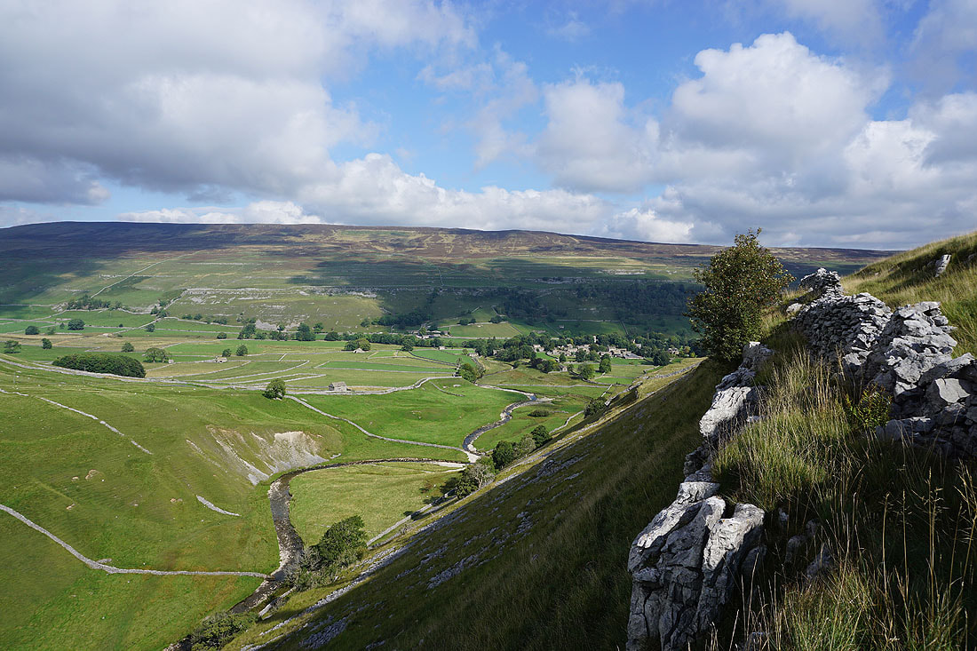
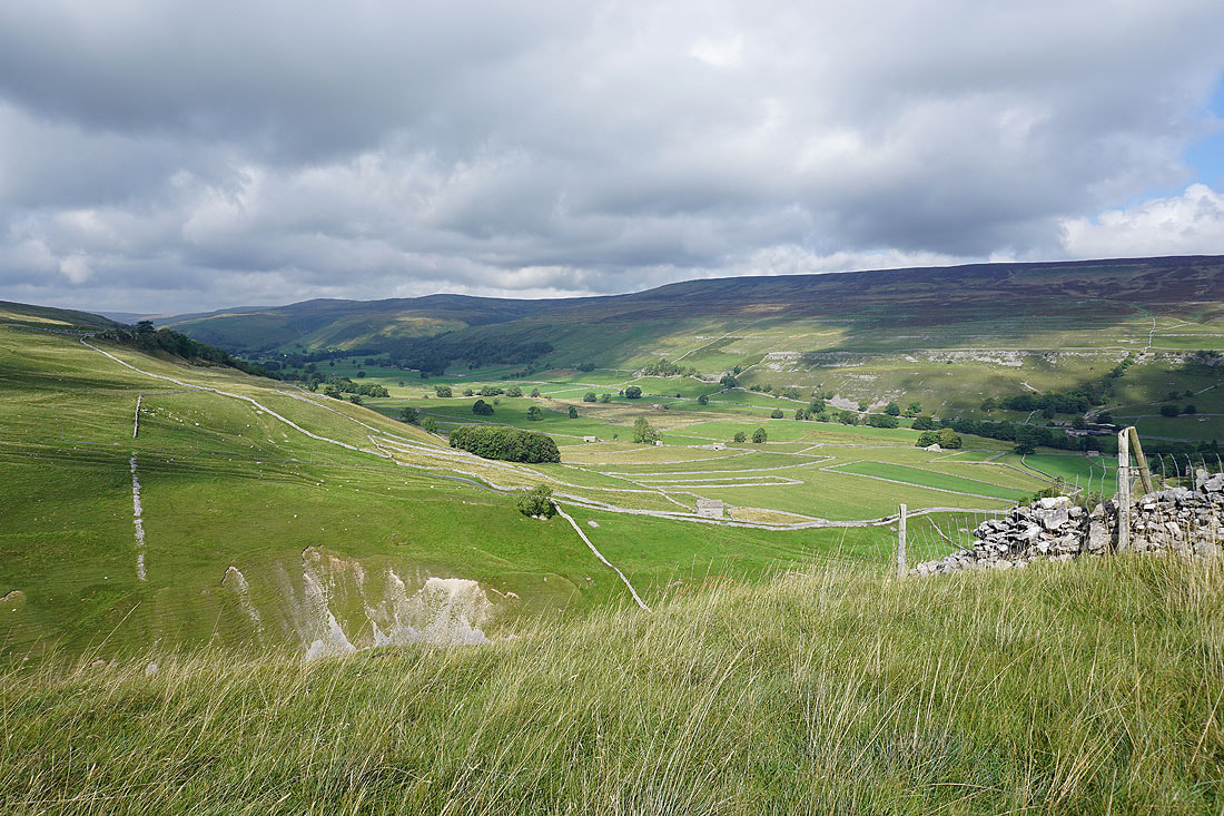
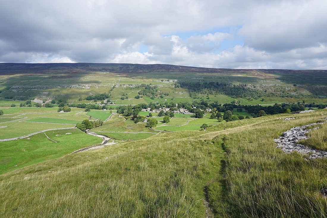
..and down to the village of Arncliffe
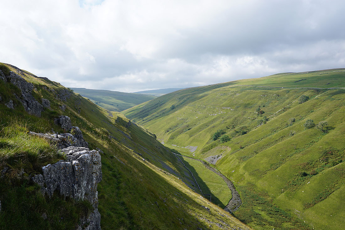
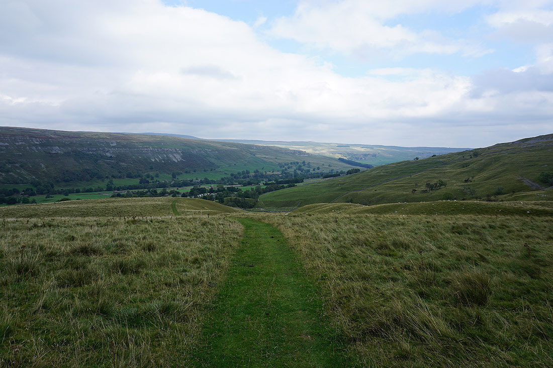
Looking up Littondale
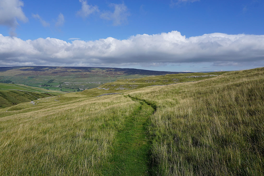
Following the Monk's Road path down to Arncliffe..
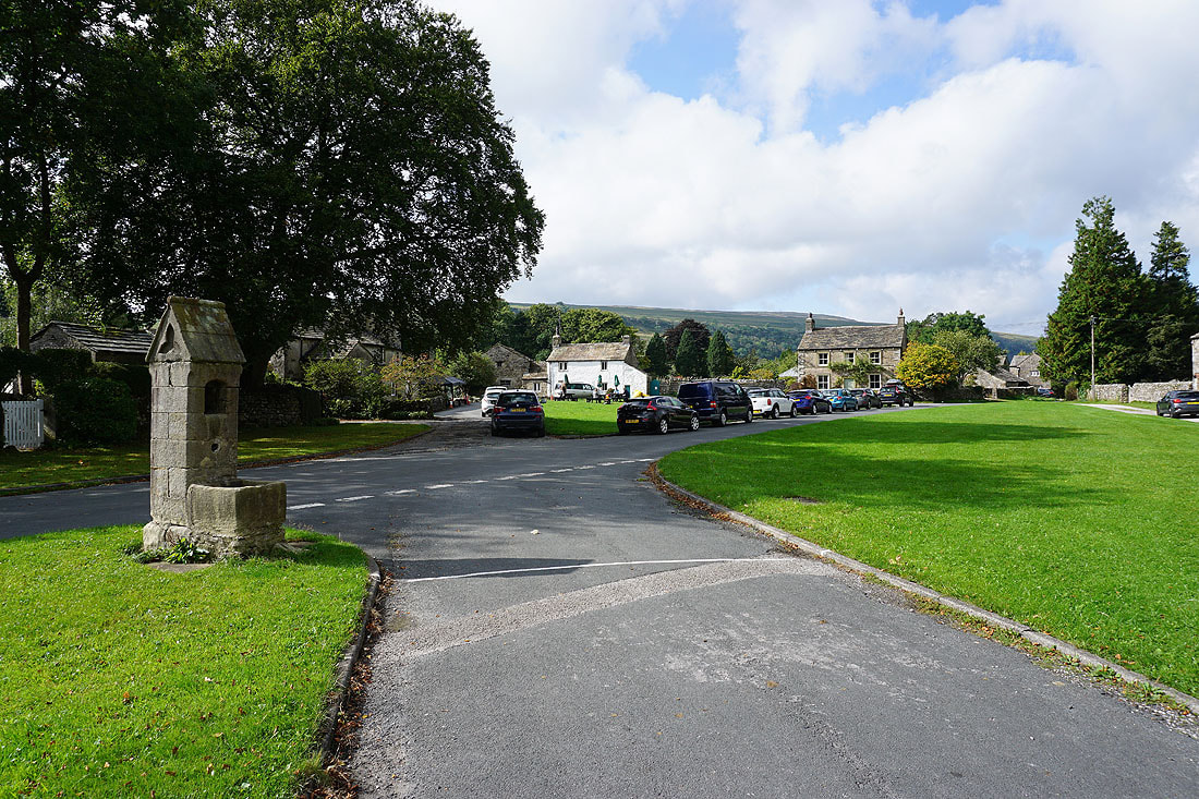
In the village of Arncliffe
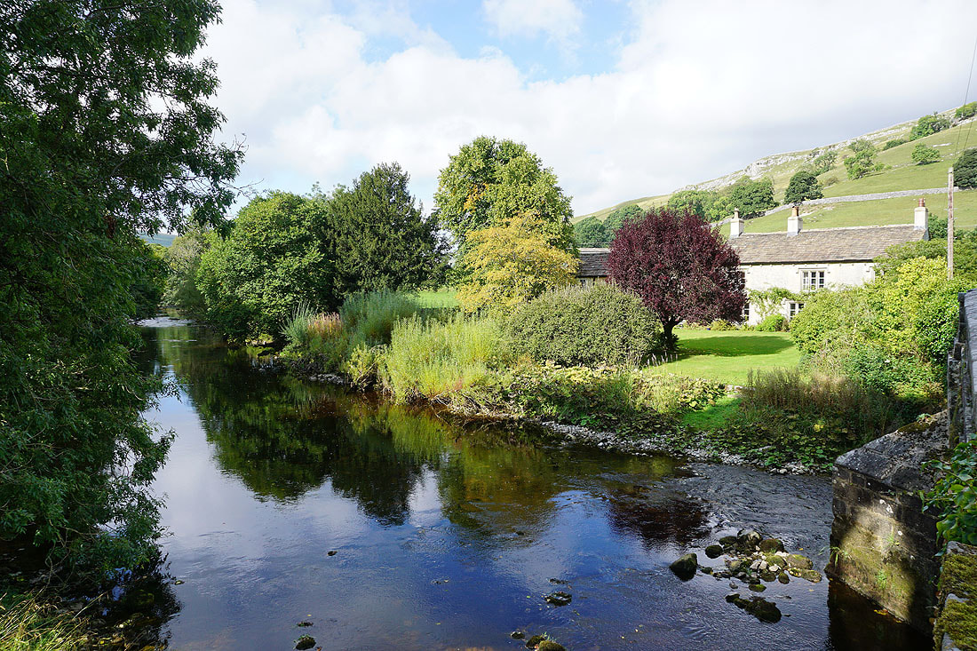
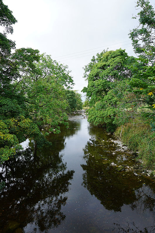
A brief detour for a view of the River Skirfare from the bridge across it
Looking back to Arncliffe..
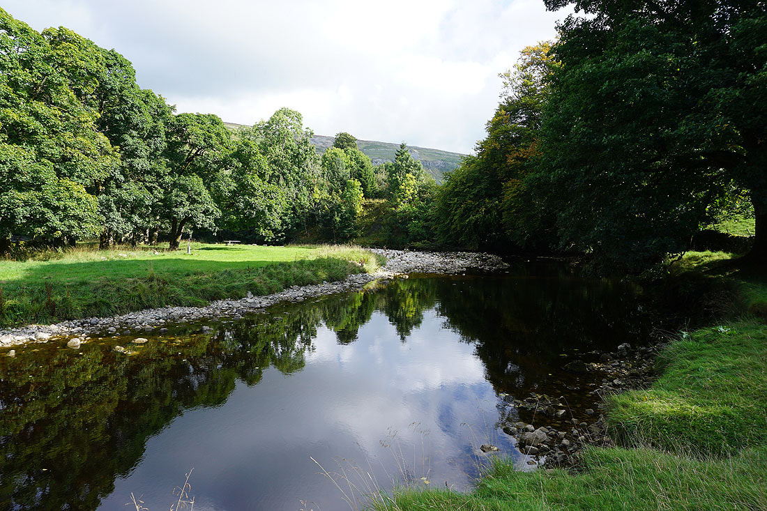
..from the path by the River Skirfare
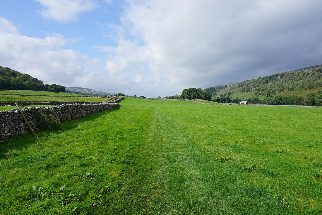
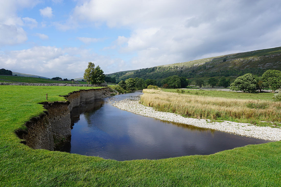
The path leaves the riverbank and there are great views of Littondale to be had...
The path joins the riverside again at a big bend
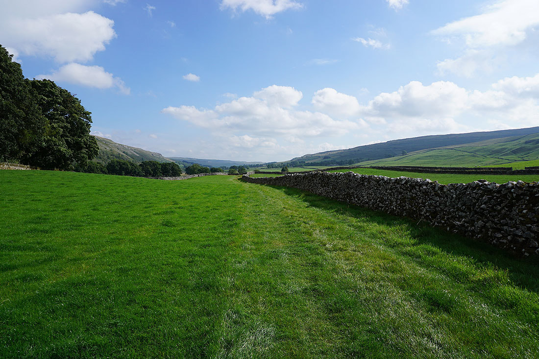
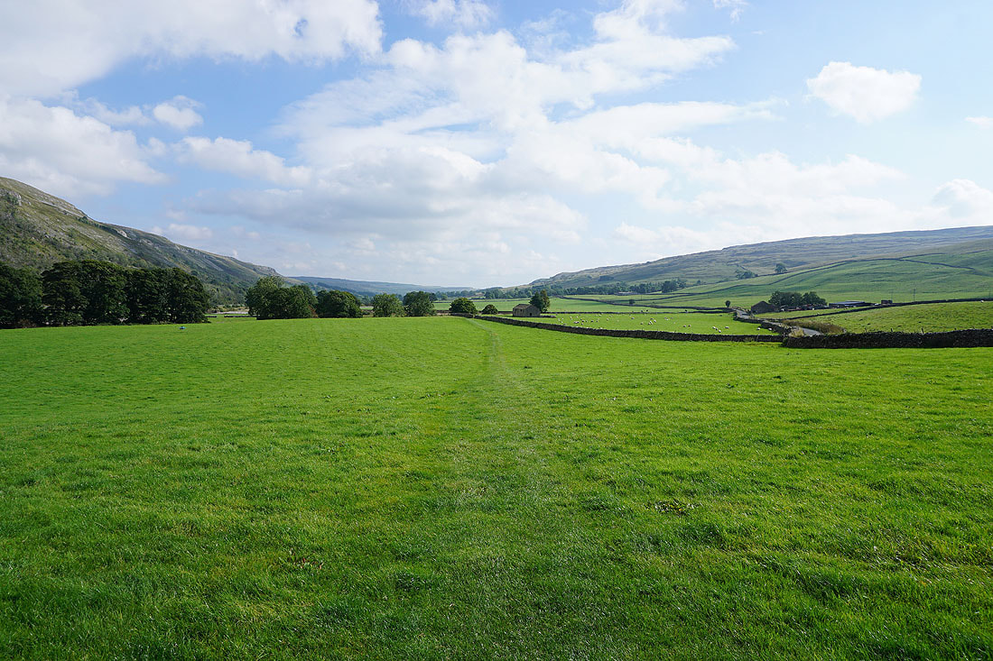
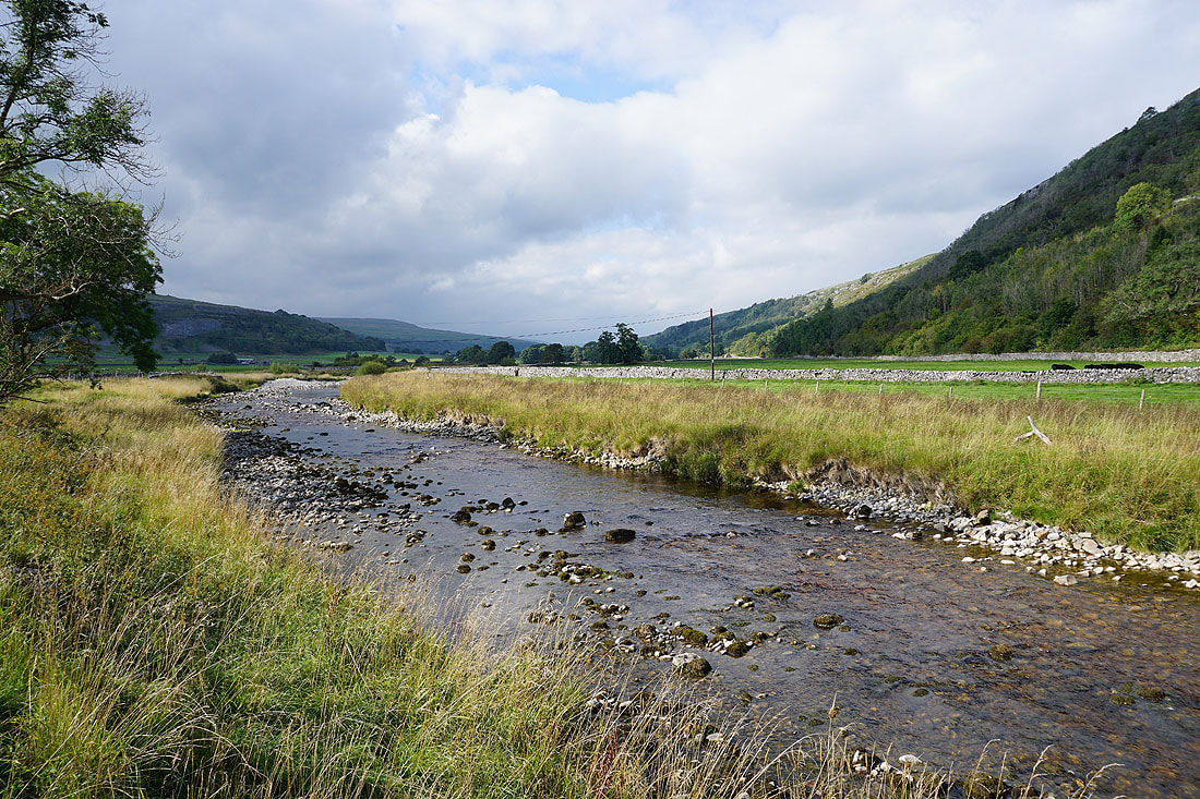
A couple more shots looking up Littondale as I follow the path south towards Hawkswick..
The River Skirfare from the footbridge at Hawkswick
Looking back from Out Gang Lane to the limestone scars on the side of Hawkswick Moor
I leave the main road up Littondale for the bridleway past Arncliffe Cote
Looking back down into Littondale as I take the bridleway up onto High Cote Moor..
Heading up onto High Cote Moor with Cote Gill to my left, and it looks like the sunny spells have gone for now
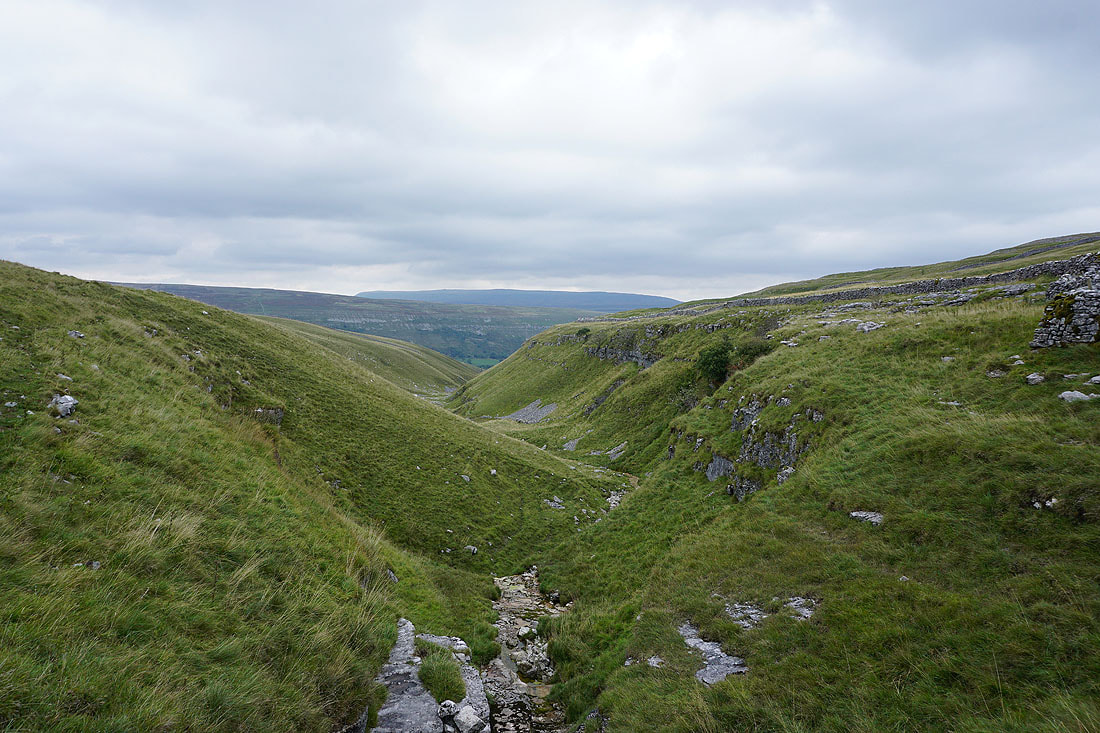
Looking down Cote Gill from its top, with Great Whernside in the distance. It's been so dry recently that there isn't a trickle of water, so definitely no waterfall.
Looking back down to Littondale from Low Lineseed Head
Buckden Pike and Great Whernside in the distance beyond Old Cote Moor Top as I reach High Lineseed Head
The limestone moorland of Proctor High Mark
A last look back to Buckden Pike and Great Whernside in the distance as I cross the moorland of Lee Gate High Mark
Now that I've crossed the top of the moor I can make out Pendle Hill in the distance..
..as well as Barden Moor
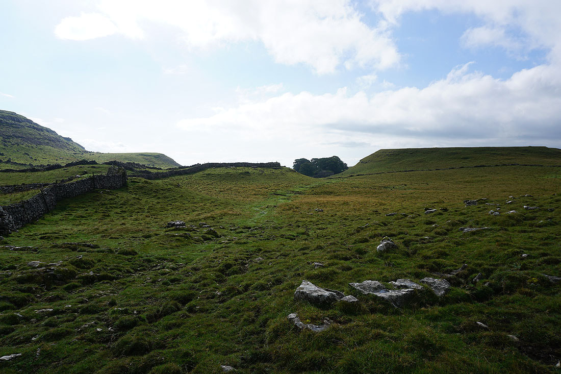
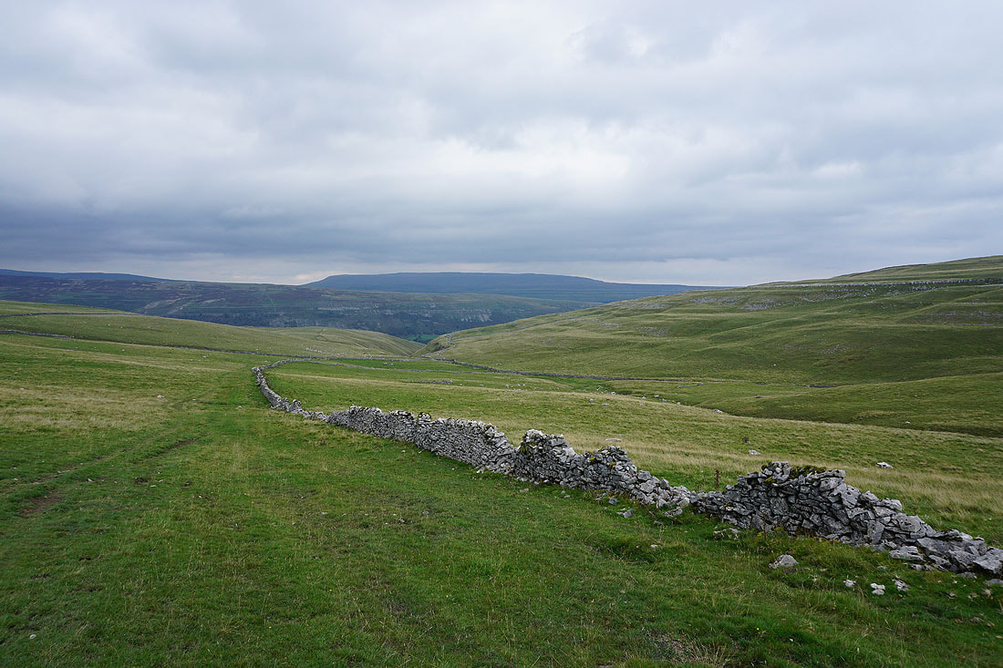
Kirkby Fell and Great Close Hill ahead as the bridleway approaches Great Close Mire
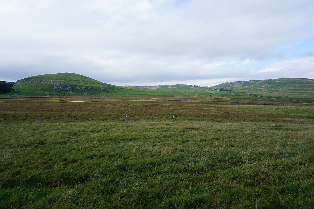
Great Close Hill and the limestone moorland to the north of Malham Tarn
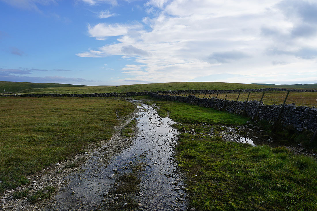
At the ford across the outflow of Great Close Mire. The last time I was here there was so much water pouring out and it was so deep I had to make quite a detour to get around it. No such problem today.
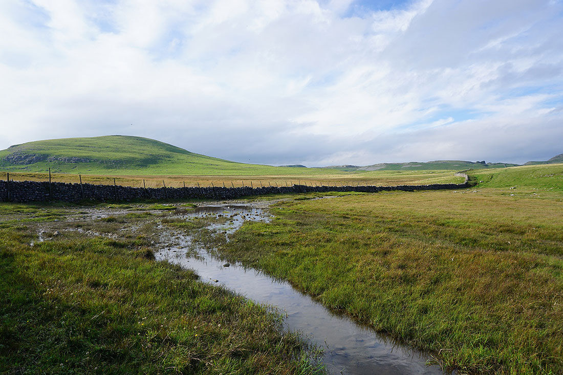
A bit of sunshine brightens the view, and the beck from Great Close Mire make a nice foreground for Great Close Hill and the limestone moorland to the north of Malham Tarn
Great Close Scar on the side of Great Close Hill, Middle House Farm, and Clapham High Mark as I follow the bridleway to Street Gate
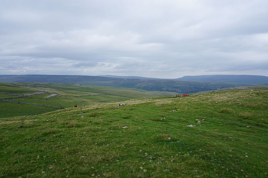
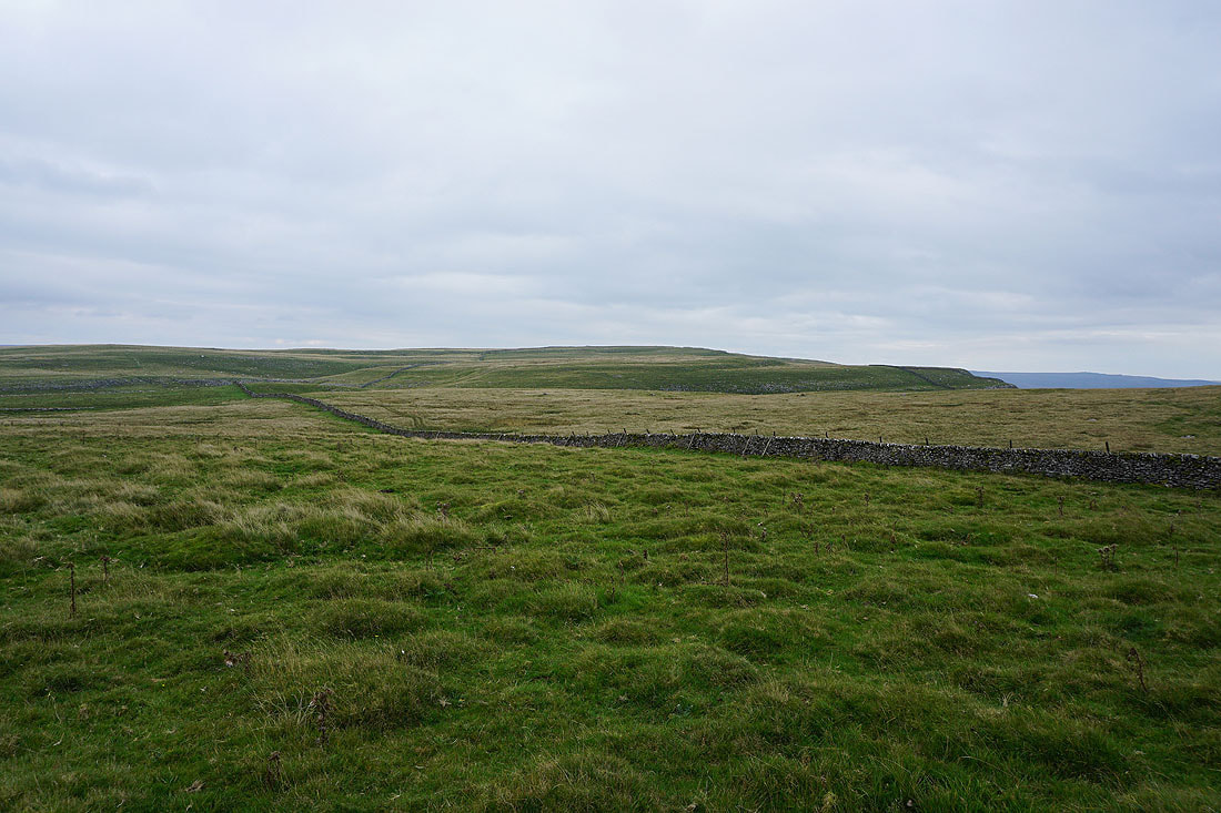
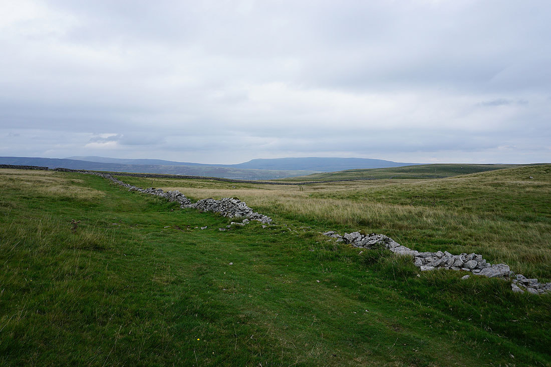
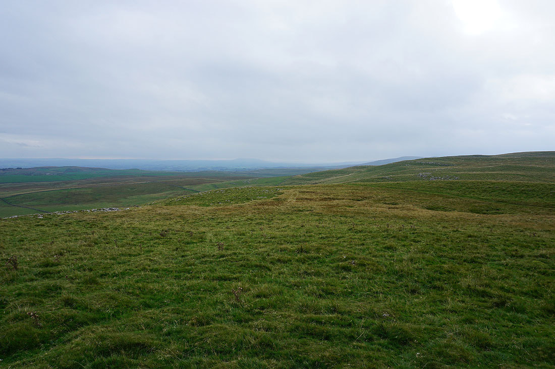
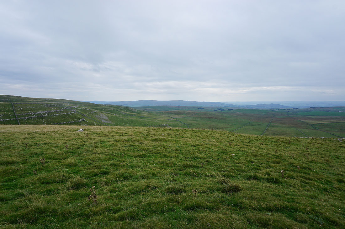
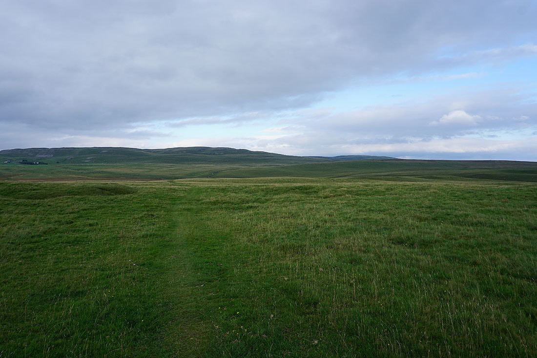
Looking back at the moorland that I've just crossed
Back at a quiet Street Gate
