27th April 2013 - Old Cote Moor Top
Walk Details
Distance walked: 10.7 miles
Total ascent: 1501 ft
OS map used: OL30 - Yorkshire Dales, Northern & Central areas
Time taken: 7.5 hrs
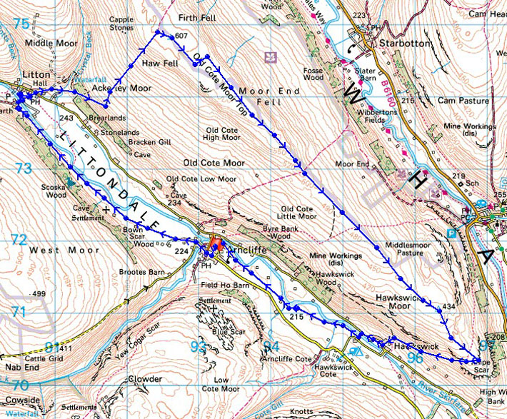
Route description: Arncliffe-Litton-Old Cote Moor Top-Middlesmoor Pasture-Hawkswick-Arncliffe
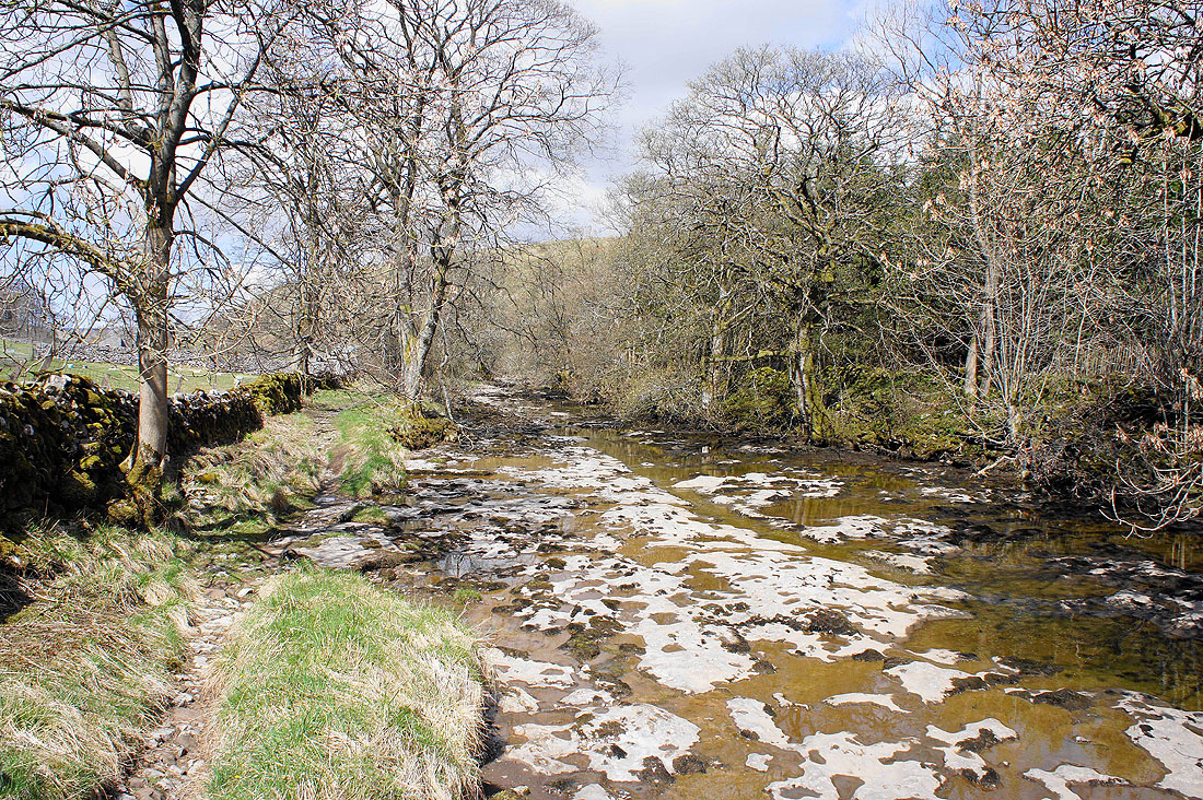
A really enjoyable walk through Littondale and on the moorland above the valley. I did this walk ten days earlier two years ago and looking back there are two noticeable differences between the two days. Spring was much more advanced two years ago and there was water flowing in the River Skirfare much higher up the valley this time round.
After parking in Arncliffe I walked up the valley to Litton. I then crossed over the River Skirfare and climbed to the summit of Old Cote Moor Top. The next part of the walk was a long gradual descent down the ridge to where it ends in Knipe Scar. The route back was a path down to Hawkswick and back up the valley to Arncliffe.
Route map
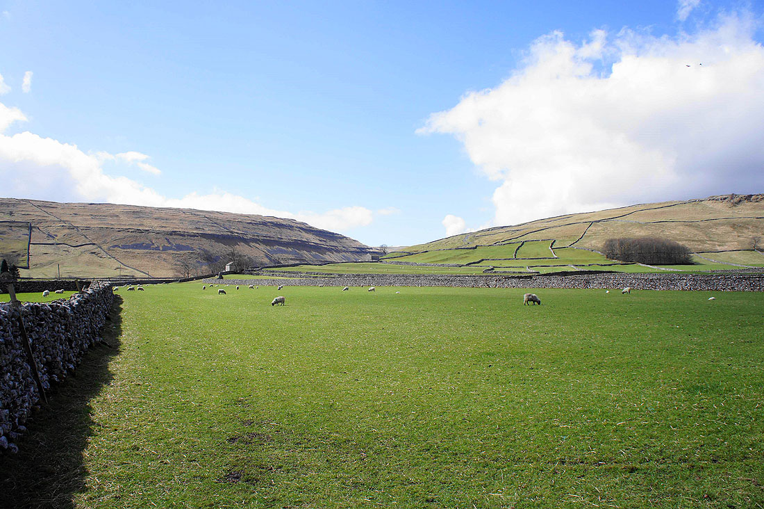
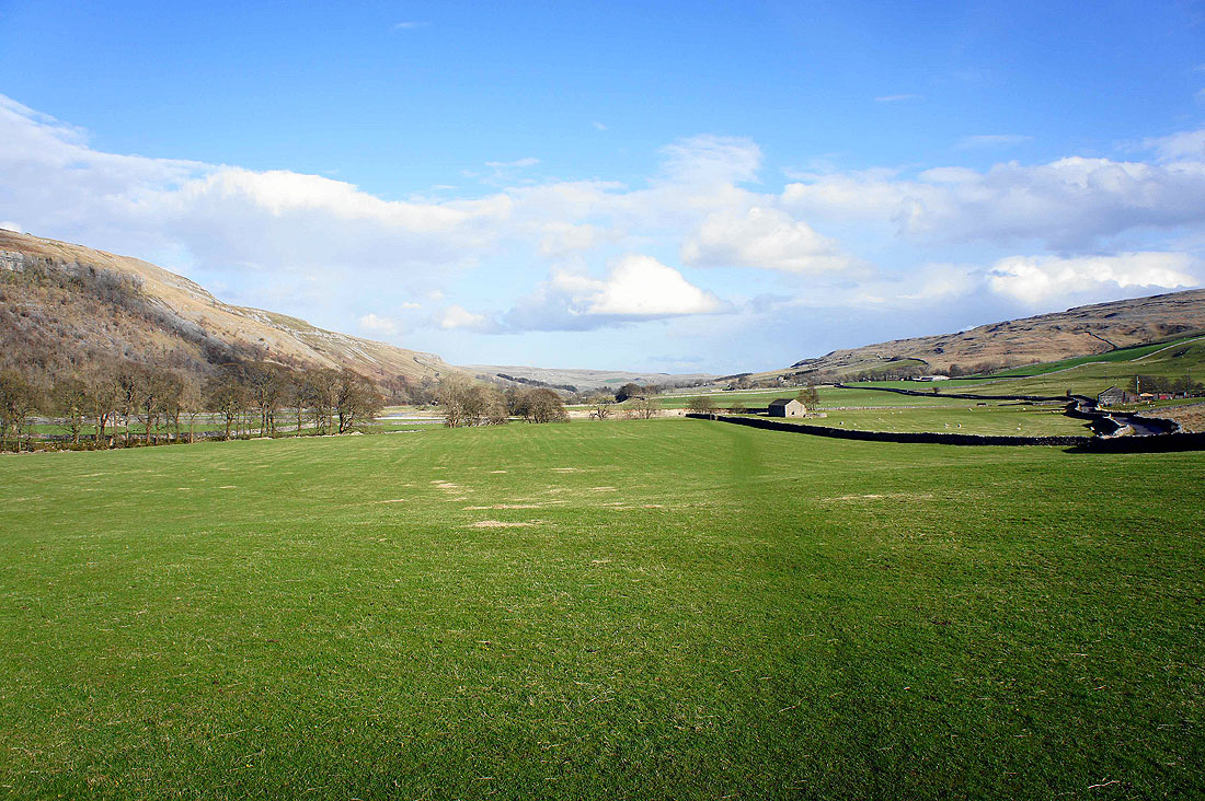
This is the first field as I leave Arncliffe. Looking across to Yew Cogar Scar above the valley of Cowside Beck.
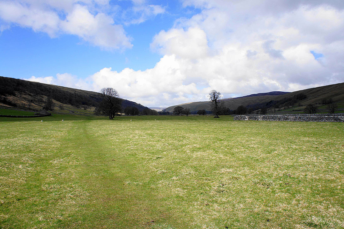
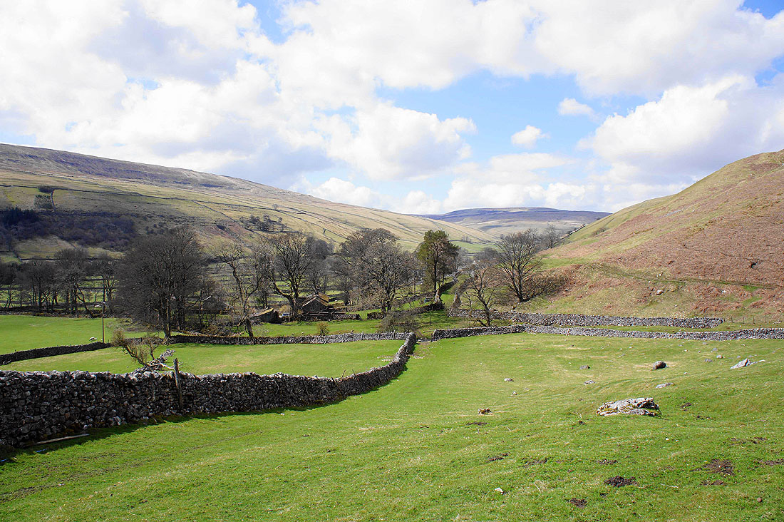
Heading up Littondale
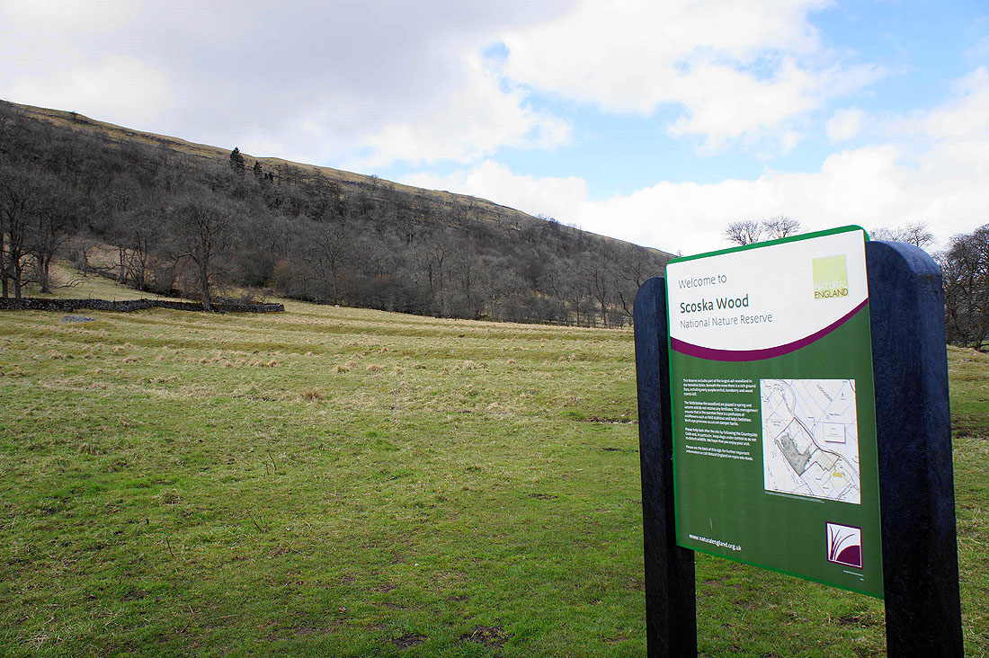
The ash woodland that forms part of the Scoska Wood National Nature Reserve is on the hillside above
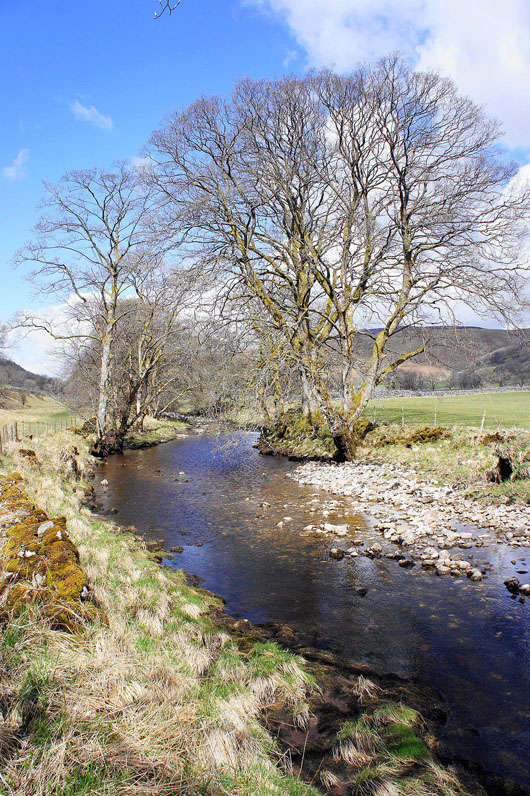
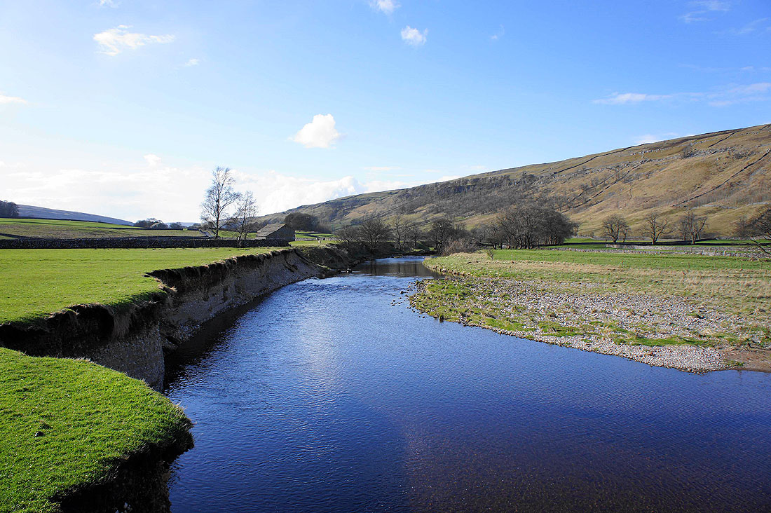
By the River Skirfare as I head for Litton..
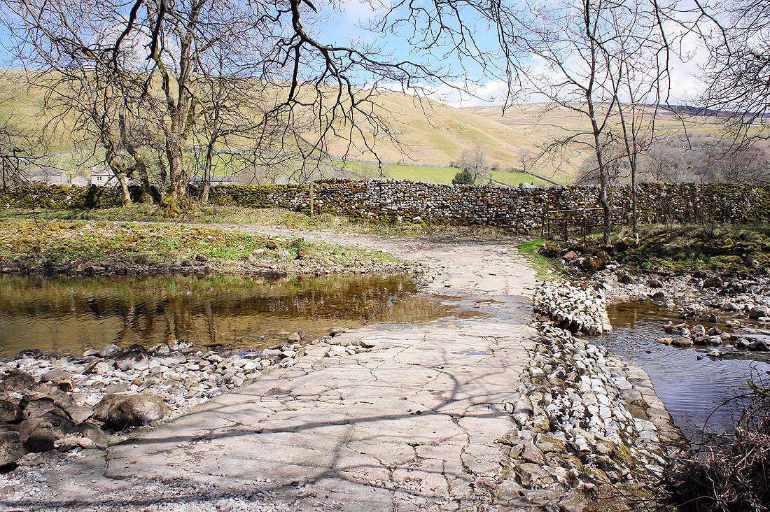
Time to cross over the river and head for Litton via the Ford
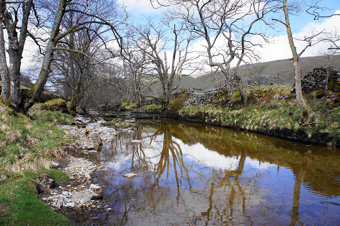
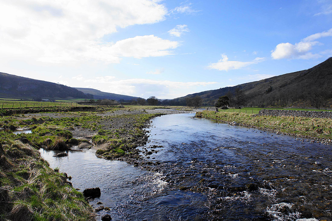
The River Skirfare from the Ford
In Litton
Sat on a limestone boulder and I have a great view as I eat my sandwiches
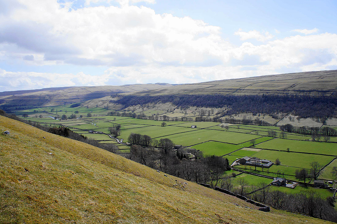
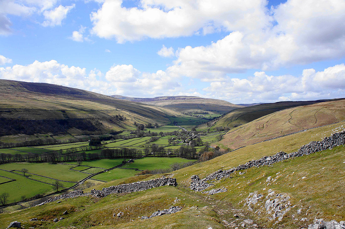
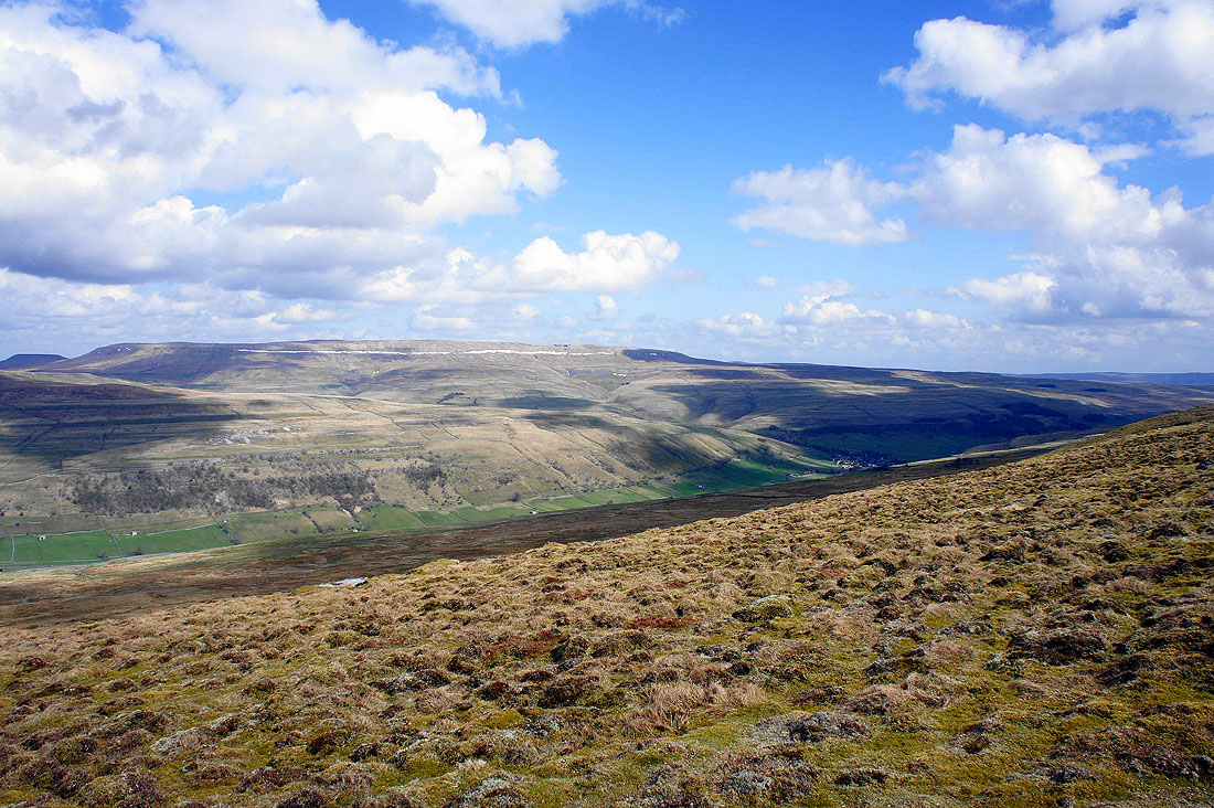
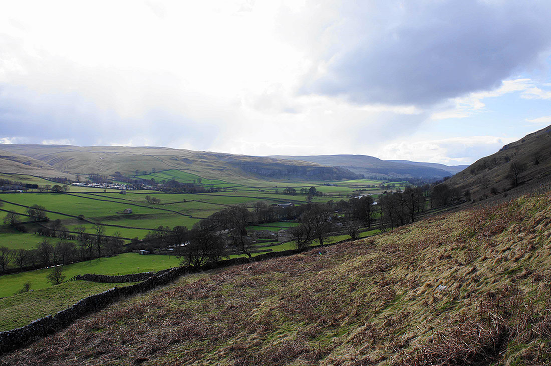
The view down Littondale as I head uphill
and a retrospective view up the valley past Litton
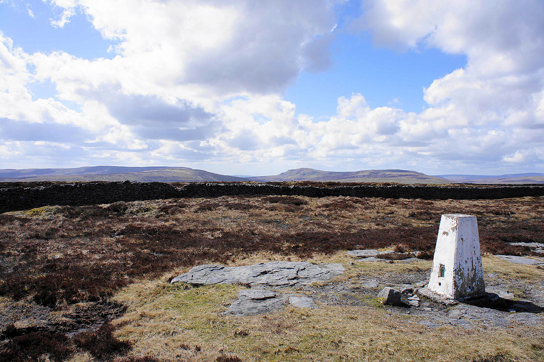
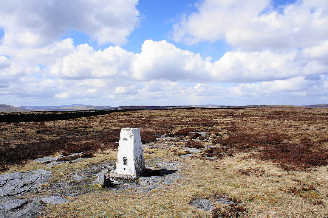
On the summit of Old Cote Moor Top. Fountains Fell, Penyghent and Plover Hill.
Wide open spaces and heathery moors heading north
Great Whernside. The band of snow across the flank of the hill has persisted since my visit there a couple of months ago.
Buckden Pike
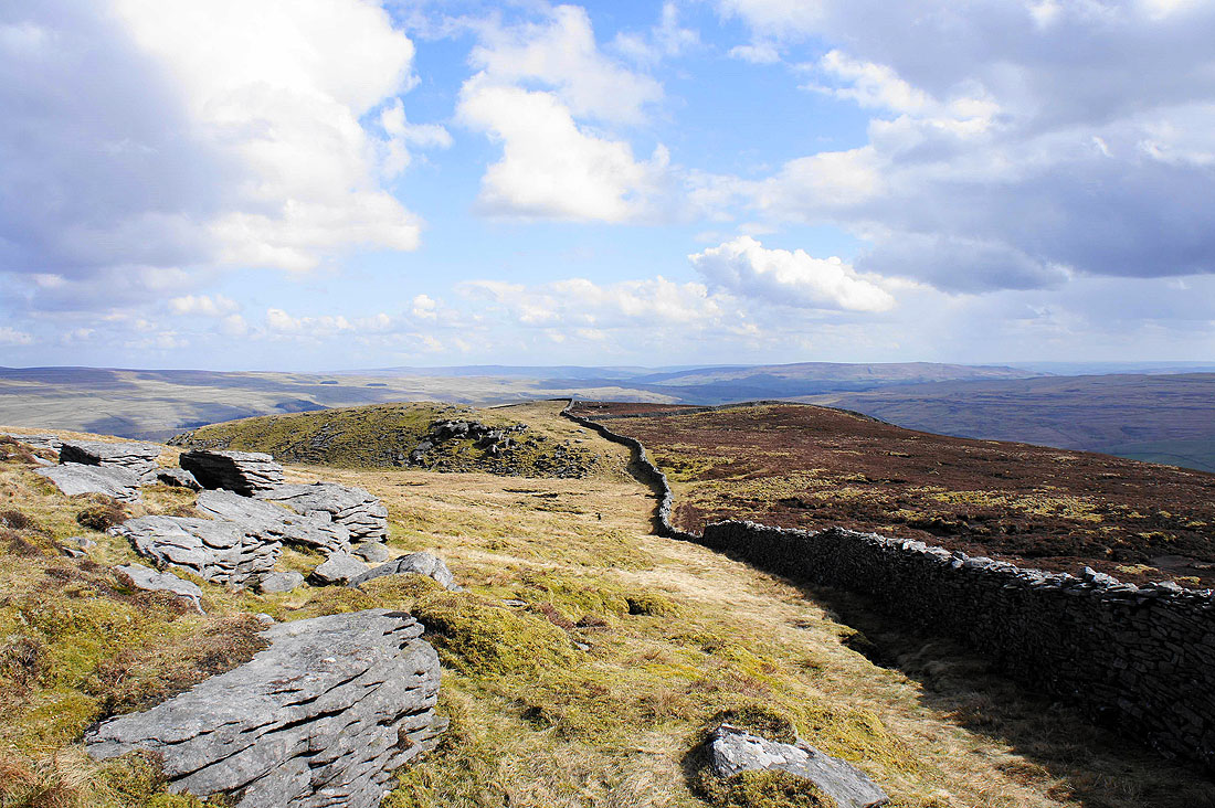
Great Whernside on the other side of Wharfedale. To head down the ridge I've made my way to this side of the fell, crossing a wall by a ladder stile on the way.
and Buckden below Buckden Pike from the same spot
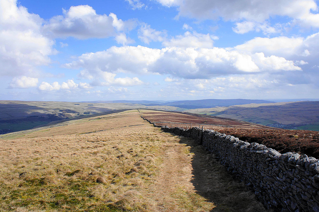
Great views ahead as I head down the ridge..
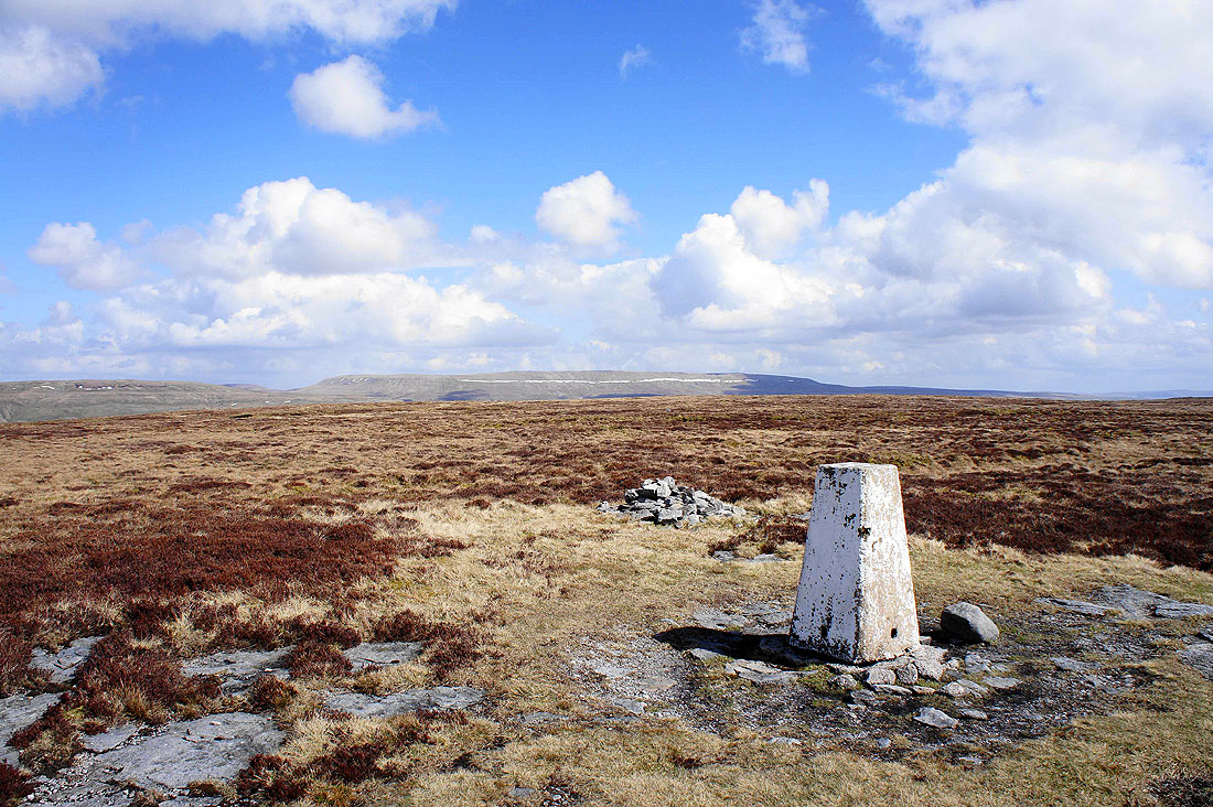
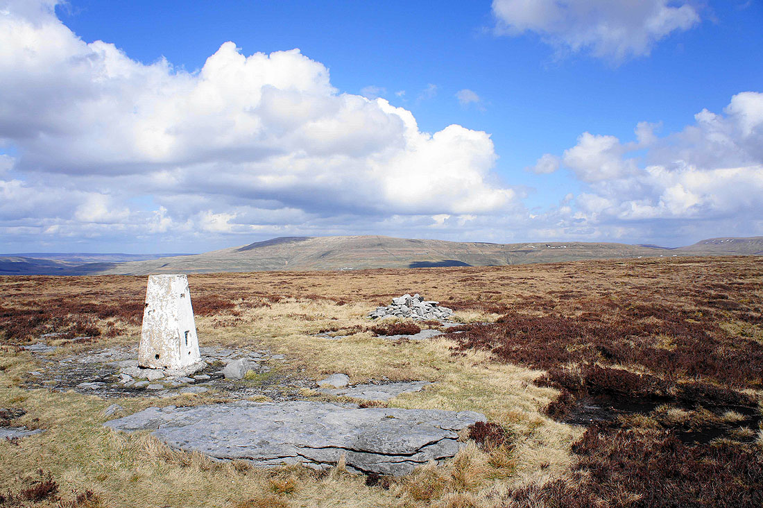
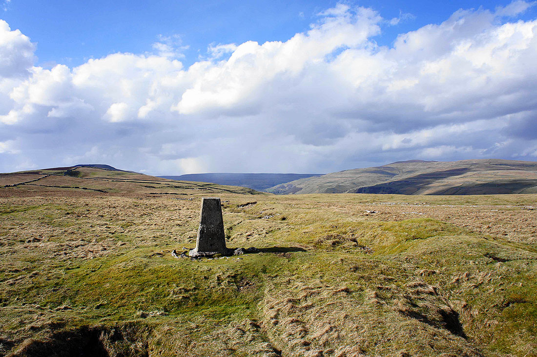
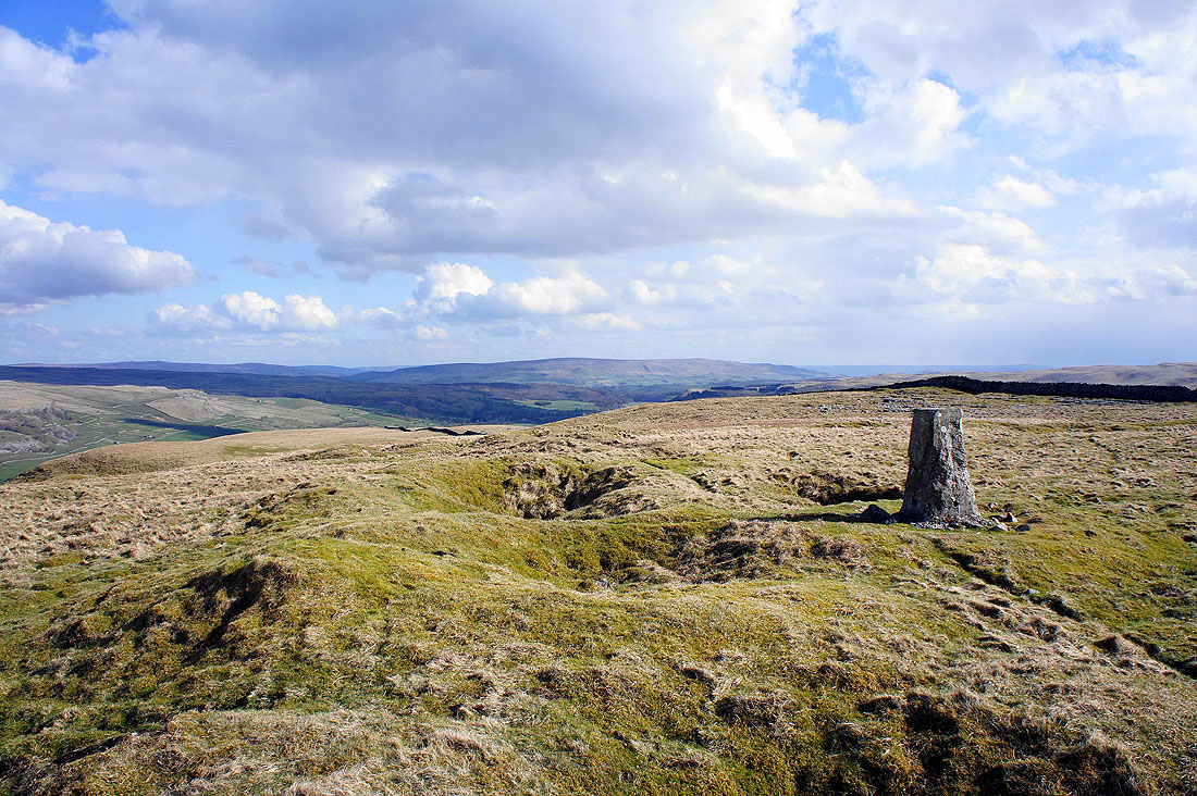
The trig point on Middlesmoor Pasture has given me an excuse to tarry a while. The ridge down from Old Cote Moor Top is on the left and Buckden Pike is the hill on the right.
Burnsall Fell is the hill in the distance
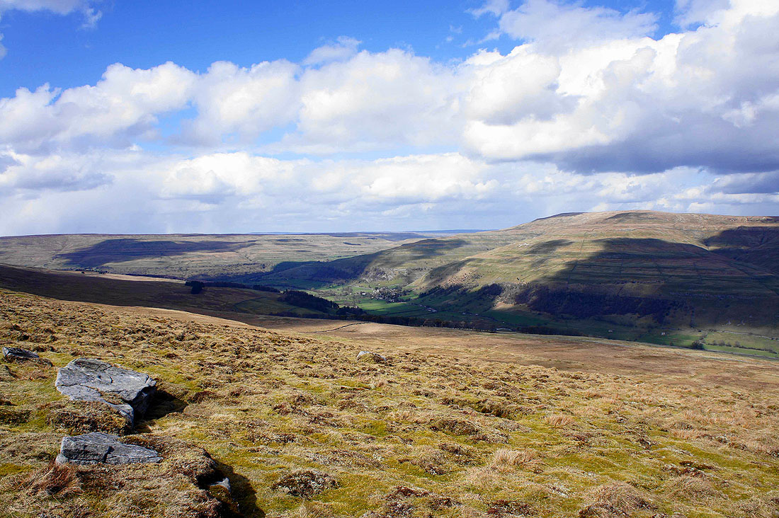
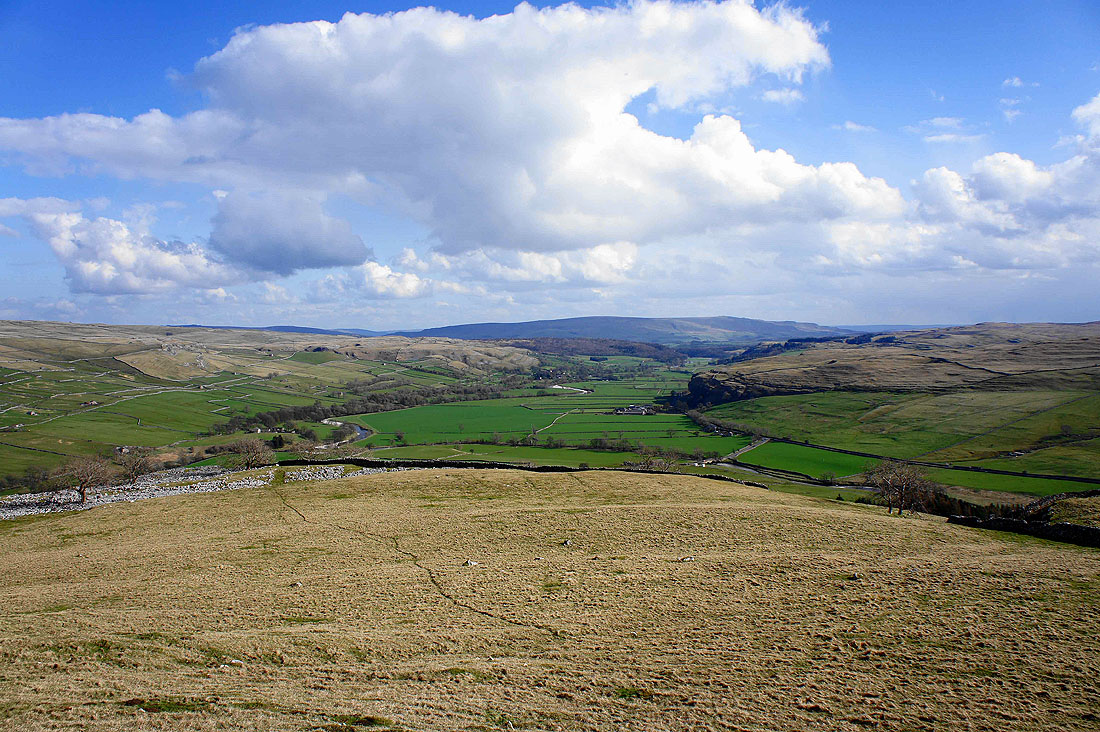
The ridge ends above Knipe Scar with Littondale joining Wharfedale from the right. A feature of note that can be seen centre right is Kilnsey Crag.
Heading down to Hawkswick in Littondale
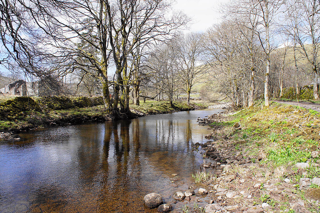
Back by the River Skirfare and heading for Arncliffe..
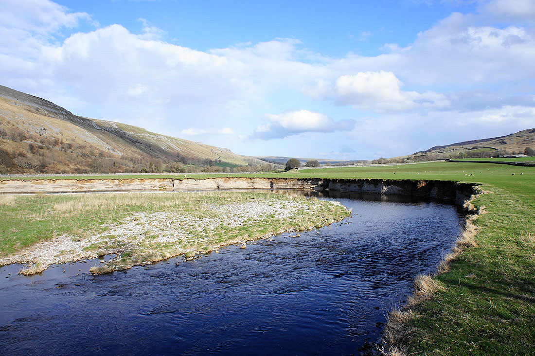
For the previous photo I was stood on the bank just a little way downstream. The river is undercutting the bank as it loops in a large meander. Don't get too close!
Looking back down Littondale
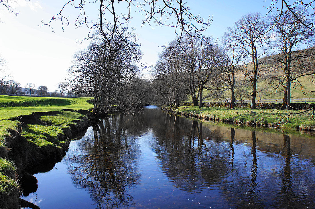
The River Skirfare just outside Arncliffe
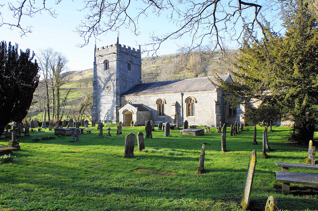
The church of St. Oswald's, Arncliffe
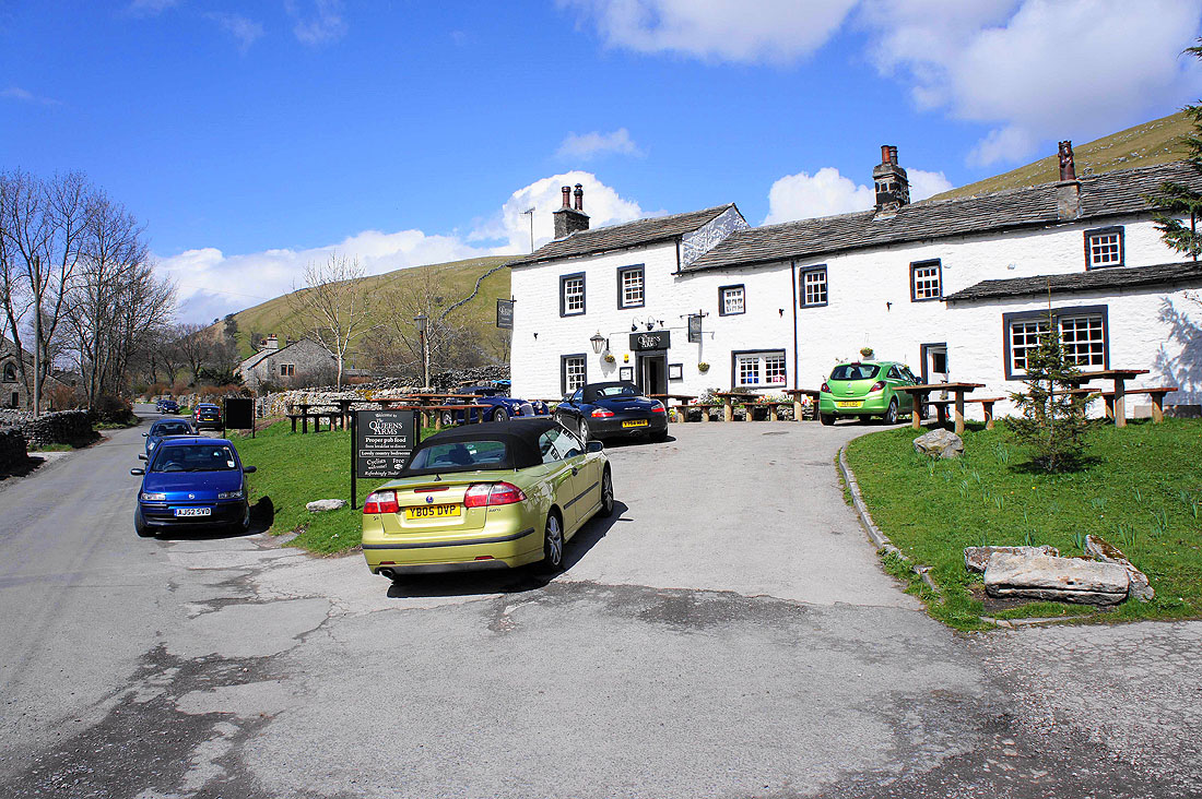
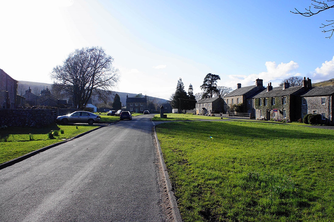
Finally back in Arncliffe
