27th April 2014 - The River Brock & Beacon Fell
Walk Details
Distance walked: 6.2 miles
Total ascent: 909 ft
OS map used: OL41 - The Forest of Bowland & Ribblesdale
Time taken: 3 hrs
Route description: Beacon Fell Country Park-Salisbury House-Bleasdale Road-Stannalee Lane-Rake Head-Brock Bottom-Higher Brock Bridge-Snape Rake Lane-Boggy Wood-Gill Barn Wood-Wickens Barn-Oakenclough Road-Beacon Fell-Beacon Fell Country Park
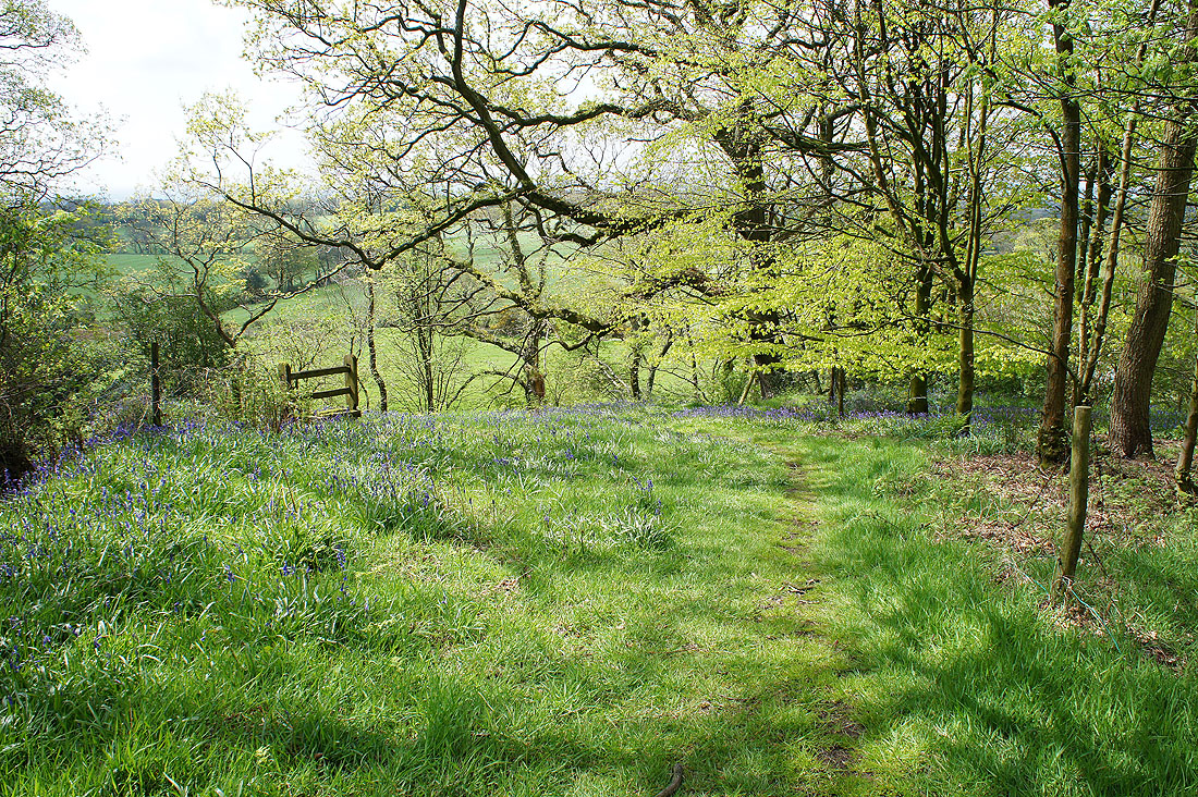
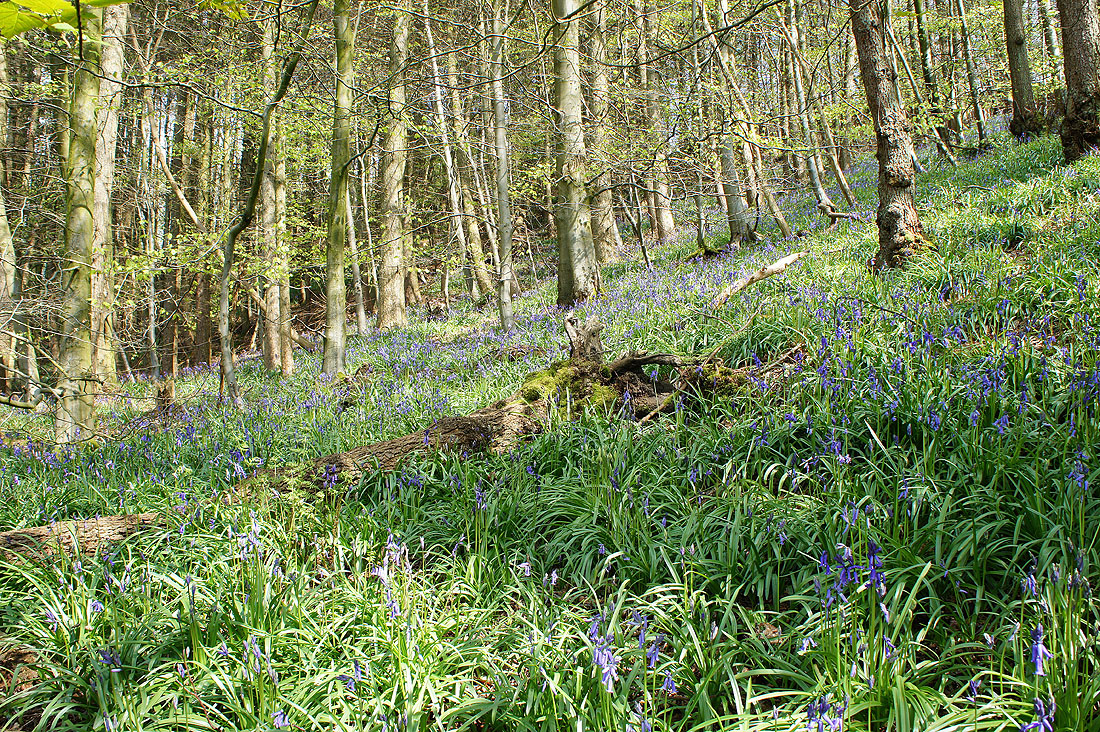
It's the bluebell time of year. After last years cold spring (I didn't bother searching any out), this year there's no shortage. The displays by the River Brock were fantastic.
From Beacon Fell Country Park I followed a path downhill into woodland by Salisbury House and down its drive to Bleasdale Road. I then walked along Bleasdale Road and Stannalee Lane to the house of Rake Head. A path then heads downhill into woodland to Brock Bottom. I went across the footbridge over the River Brock and then followed the path by the river to the picnic site at Higher Brock Bridge. The riverside path continues on the other side of the bridge until the track of Snape Rake Lane is reached where I followed it uphill briefly just to head back downhill into the woods again. I finally left the river for field paths across to Oakenclough Road and the summit of Beacon Fell. A short walk downhill and I was back in the car park.
Total ascent: 909 ft
OS map used: OL41 - The Forest of Bowland & Ribblesdale
Time taken: 3 hrs
Route description: Beacon Fell Country Park-Salisbury House-Bleasdale Road-Stannalee Lane-Rake Head-Brock Bottom-Higher Brock Bridge-Snape Rake Lane-Boggy Wood-Gill Barn Wood-Wickens Barn-Oakenclough Road-Beacon Fell-Beacon Fell Country Park
It's the bluebell time of year. After last years cold spring (I didn't bother searching any out), this year there's no shortage. The displays by the River Brock were fantastic.
From Beacon Fell Country Park I followed a path downhill into woodland by Salisbury House and down its drive to Bleasdale Road. I then walked along Bleasdale Road and Stannalee Lane to the house of Rake Head. A path then heads downhill into woodland to Brock Bottom. I went across the footbridge over the River Brock and then followed the path by the river to the picnic site at Higher Brock Bridge. The riverside path continues on the other side of the bridge until the track of Snape Rake Lane is reached where I followed it uphill briefly just to head back downhill into the woods again. I finally left the river for field paths across to Oakenclough Road and the summit of Beacon Fell. A short walk downhill and I was back in the car park.
Route map
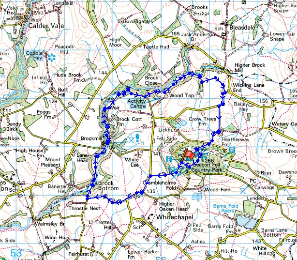
© Crown copyright. All rights reserved. License number PU 100034184.
Heading downhill from the car park at Beacon Fell Country Park
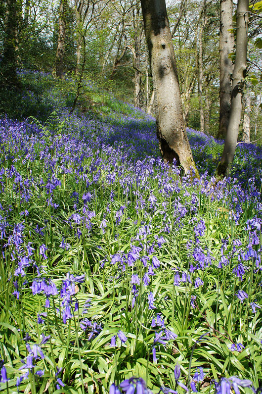
The small patch of woodland above Salisbury House is already impressing me with the number of bluebells in bloom..
Walking along Bleasdale Road and it's a lovely afternoon for a walk in the Lancashire countryside
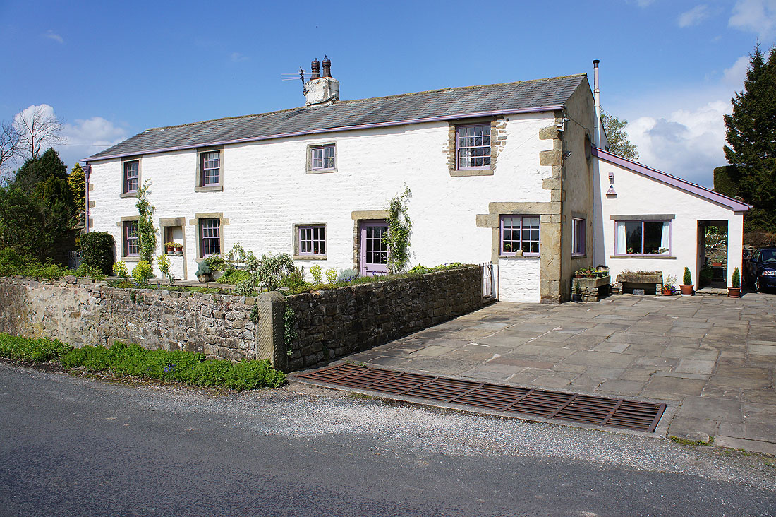
The beautiful Lower Stannalee cottage
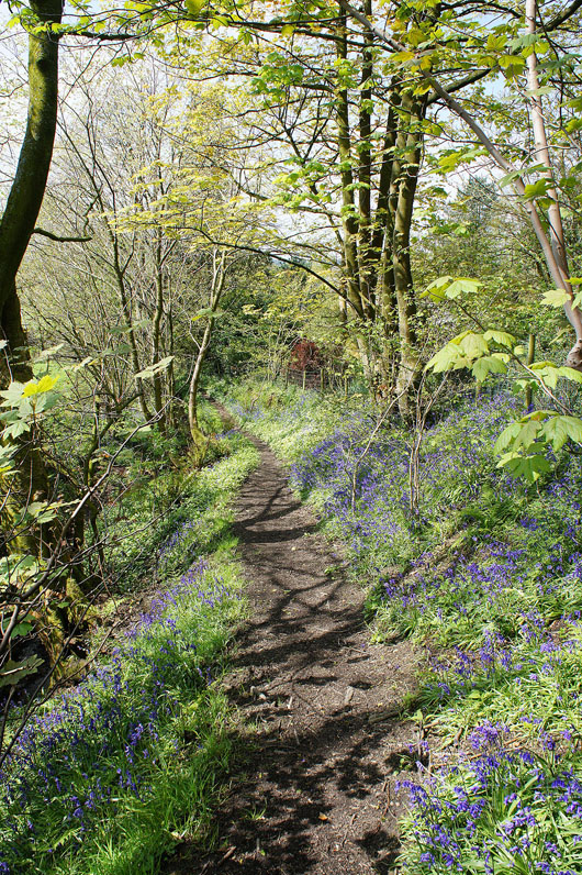
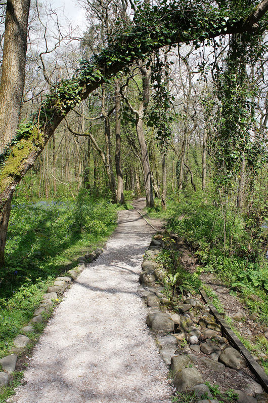
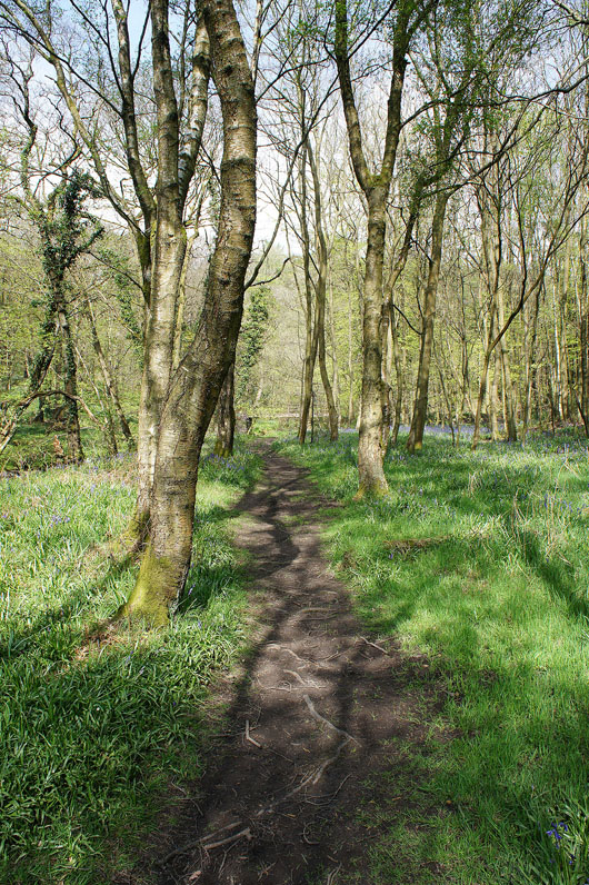
Off the road at last and on the path down to Brock Bottom
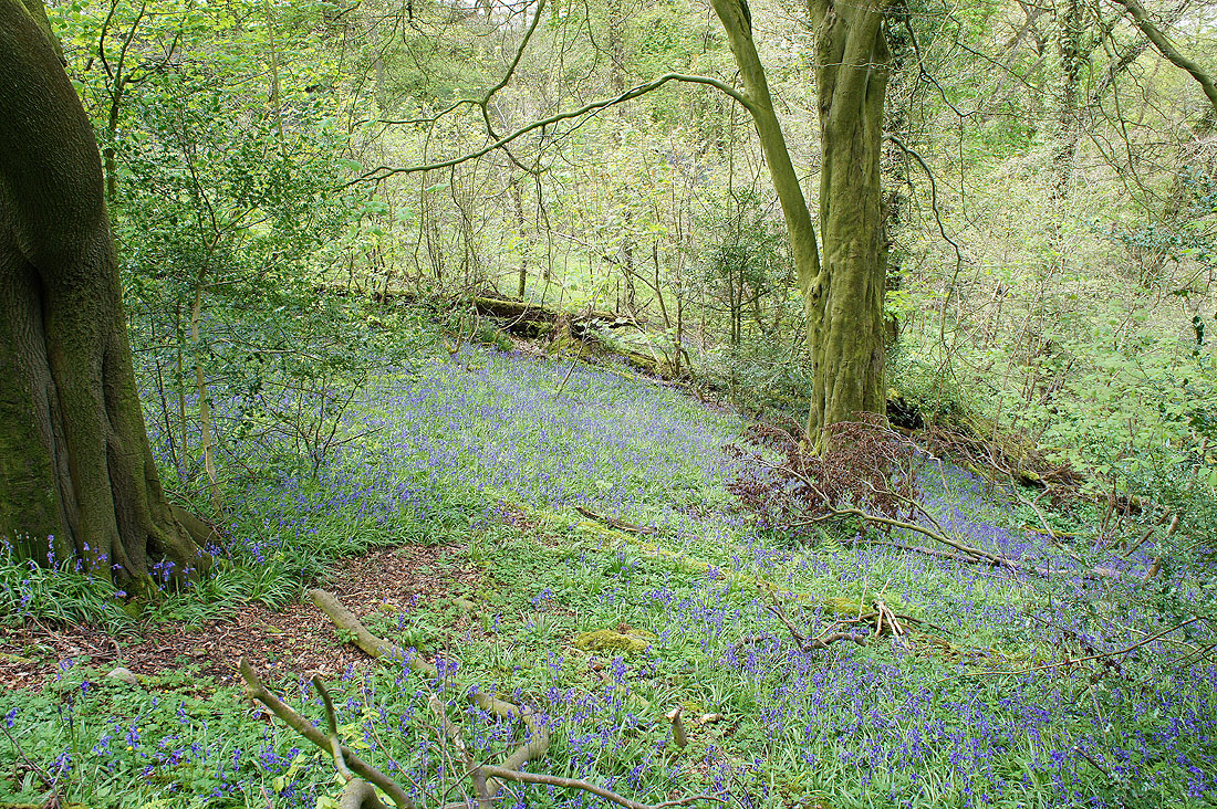
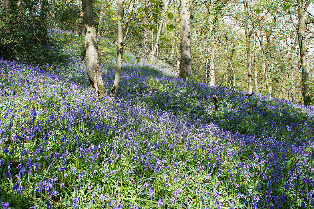
Lots of bluebells here as well..
Across the River Brock at Brock Bottom
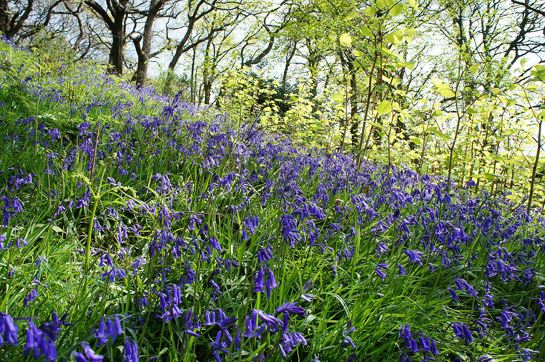
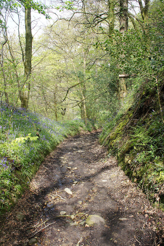
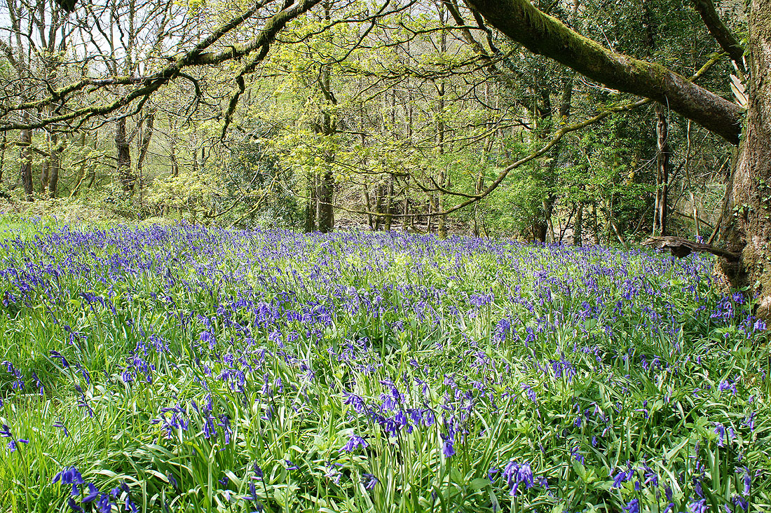
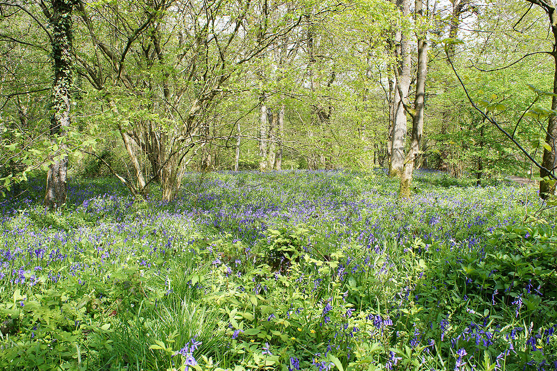
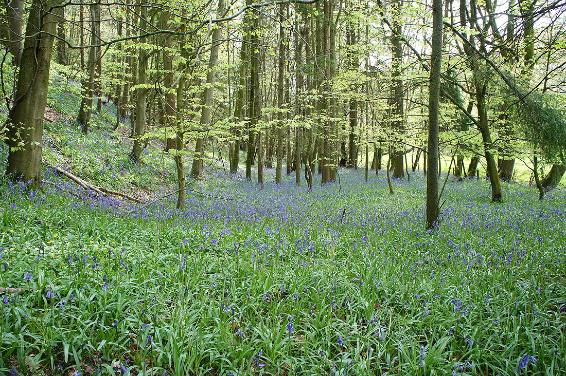
This next part of the walk follows the Brock Valley Nature Trail to the picnic site at Higher Brock Bridge. As you can see the ground beneath the trees is carpeted with bluebells and they should continue putting on this display for a few weeks yet. There's also wild garlic just starting to flower.
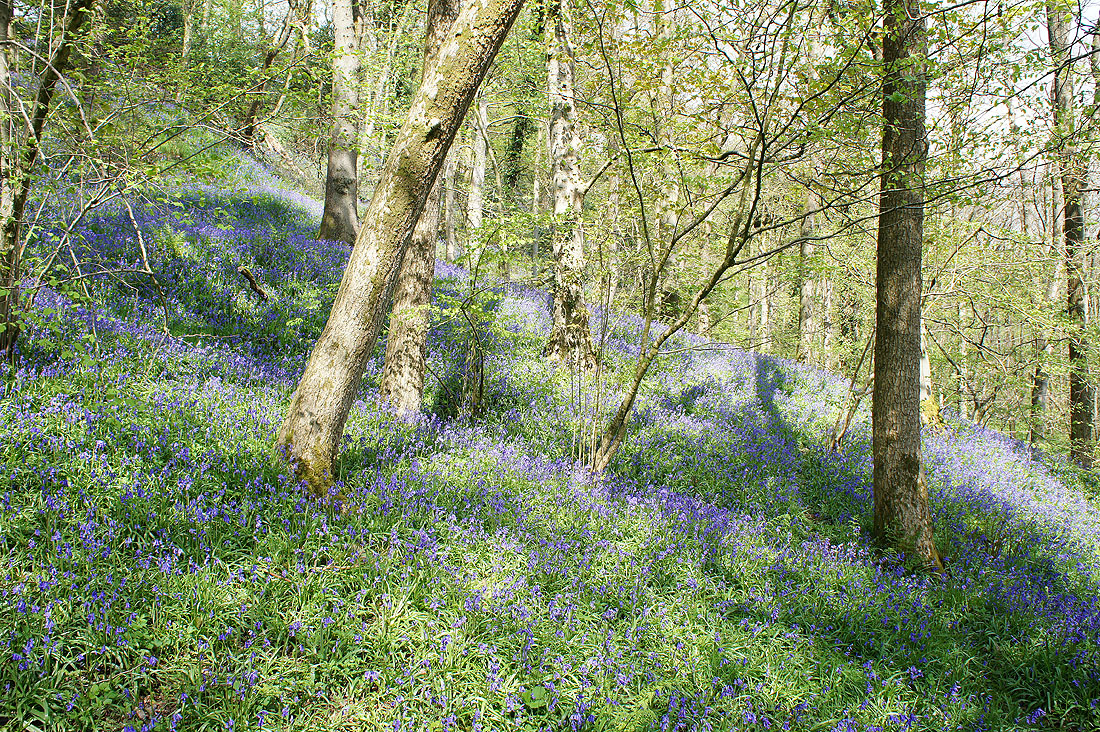
I think a few more shots are in order..
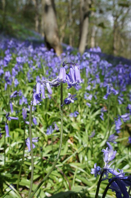
Getting up close and personal
Following the trail to the picnic site..
Looking back along the River Brock as I reach the picnic site
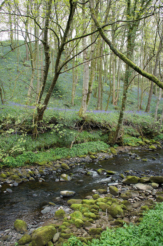
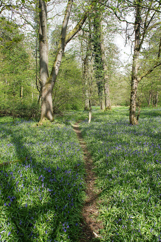
On the other side of Higher Brock Bridge and the path is soon back by the river. The bluebells don't let up. Not just nearby but in the woods on the surrounding hillsides as well.
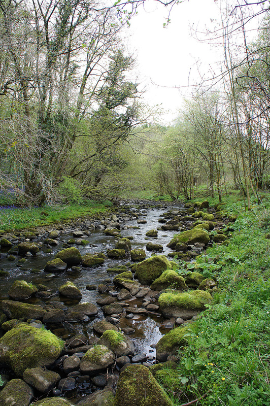
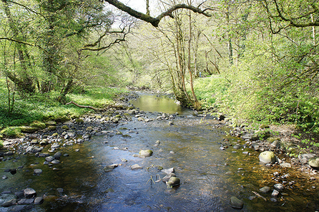
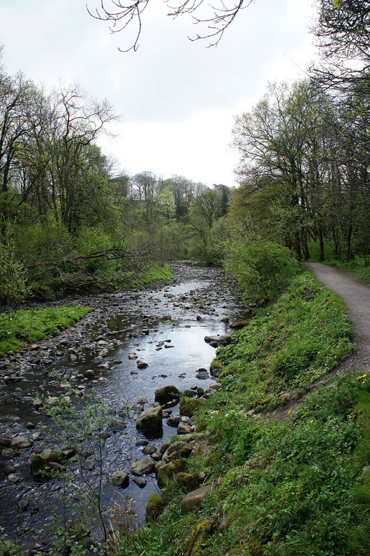
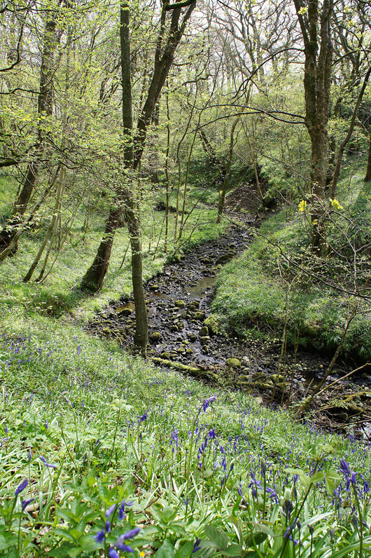
The River Brock, a typical Bowland beck with its jumble of mossy boulders.
At the footbridge just ahead I'll turn right and head uphill on..
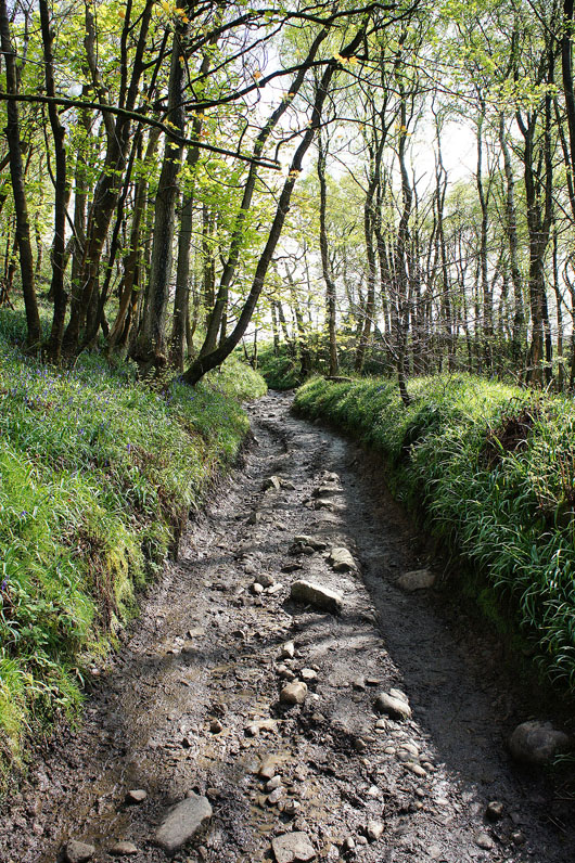
..the track of Snape Rake Lane. Apparently the ford next to the footbridge was used by the Romans on their route from Ribchester to Lancaster.
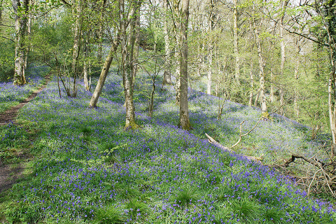
I was on Snape Rake Lane for a few hundred yards before heading down into the woods again. The final woodland shot from the path up through Gill Barn Wood.
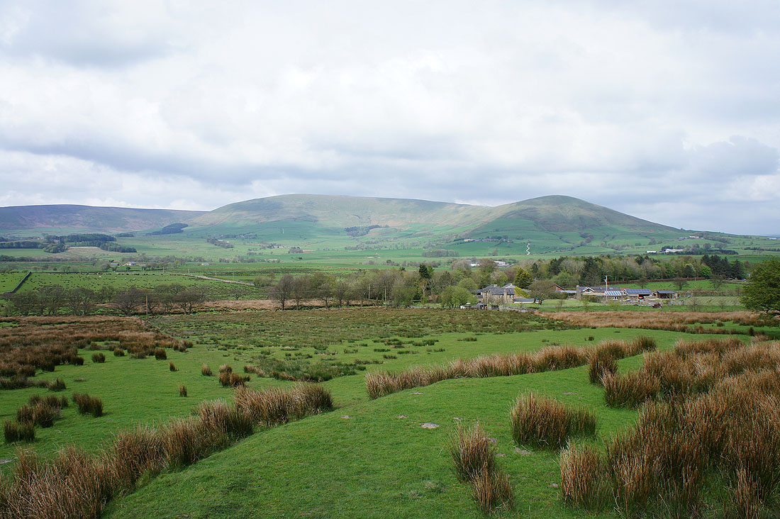
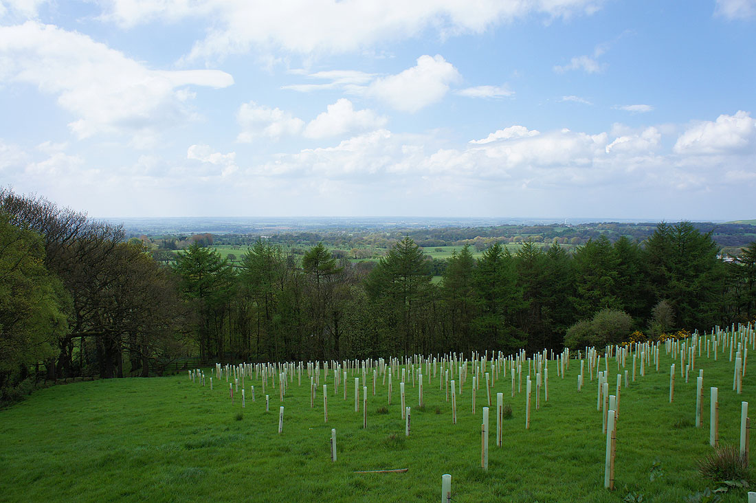
Fair Snape Fell and Parlick as I reach the road surrounding Beacon Fell
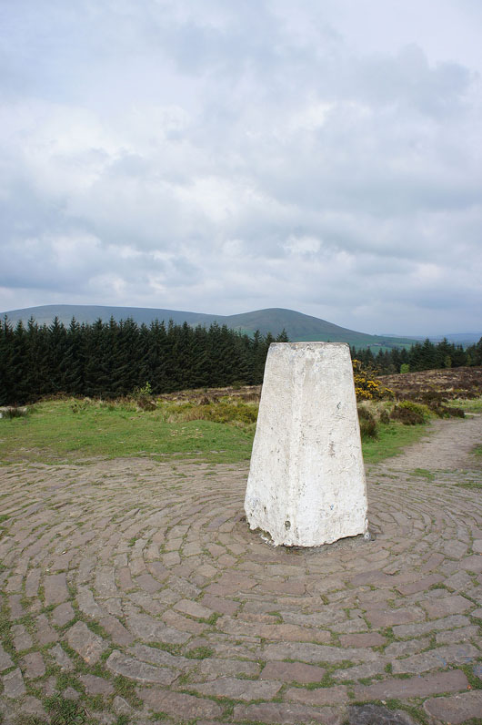
The trig point marking the top of Beacon Fell. Unfortunately the surrounding conifers have pretty much screened out most of the view. The top halves of Fair Snape Fell and Parlick can be seen and there's an unrestricted view to the northwest towards the coast.