27th April 2015 - Clougha Pike & Grit Fell
Walk Details
Distance walked: 6.2 miles
Total ascent: 1257 ft
OS map used: OL41 - Forest of Bowland & Ribblesdale
Time taken: 5 hrs
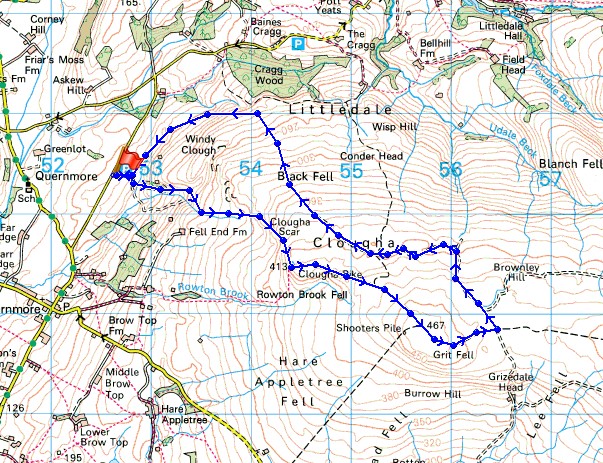
Route description: Birk Bank car park, Rigg Lane-Clougha Scar-Clougha Pike-Grit Fell-Clougha-Ottergear Bridge-Birk Bank car park, Rigg Lane
This walk is a joy to do when the weather is as good as it was today. The view from Clougha Pike when there are sunny skies and great visibilty is hard to beat. I decided to head up Clougha Pike first, the forecast was for showers to move in towards the end of the afternoon. They waited until I'd got back home however, so I managed to do the whole walk with blue skies and sunny spells.
I started the walk by taking the track that leaves the back of the car park, then right at the T-junction of tracks. After crossing the duckboards I made my way up through the woods to the bottom of Windy Clough and then up the path along Clougha Scar to Clougha Pike. Next stop was Grit Fell and down its other side to the shooters track that crosses the col between Grit Fell and Ward's Stone. I then followed the track north and down the north slope of Clougha Pike to the edge of access land. Here, I turned left to follow another track across Ottergear Bridge and below Birk Bank back to the car park.
Total ascent: 1257 ft
OS map used: OL41 - Forest of Bowland & Ribblesdale
Time taken: 5 hrs
Route description: Birk Bank car park, Rigg Lane-Clougha Scar-Clougha Pike-Grit Fell-Clougha-Ottergear Bridge-Birk Bank car park, Rigg Lane
This walk is a joy to do when the weather is as good as it was today. The view from Clougha Pike when there are sunny skies and great visibilty is hard to beat. I decided to head up Clougha Pike first, the forecast was for showers to move in towards the end of the afternoon. They waited until I'd got back home however, so I managed to do the whole walk with blue skies and sunny spells.
I started the walk by taking the track that leaves the back of the car park, then right at the T-junction of tracks. After crossing the duckboards I made my way up through the woods to the bottom of Windy Clough and then up the path along Clougha Scar to Clougha Pike. Next stop was Grit Fell and down its other side to the shooters track that crosses the col between Grit Fell and Ward's Stone. I then followed the track north and down the north slope of Clougha Pike to the edge of access land. Here, I turned left to follow another track across Ottergear Bridge and below Birk Bank back to the car park.
Route map
© Crown copyright. All rights reserved. License number PU 100034184.
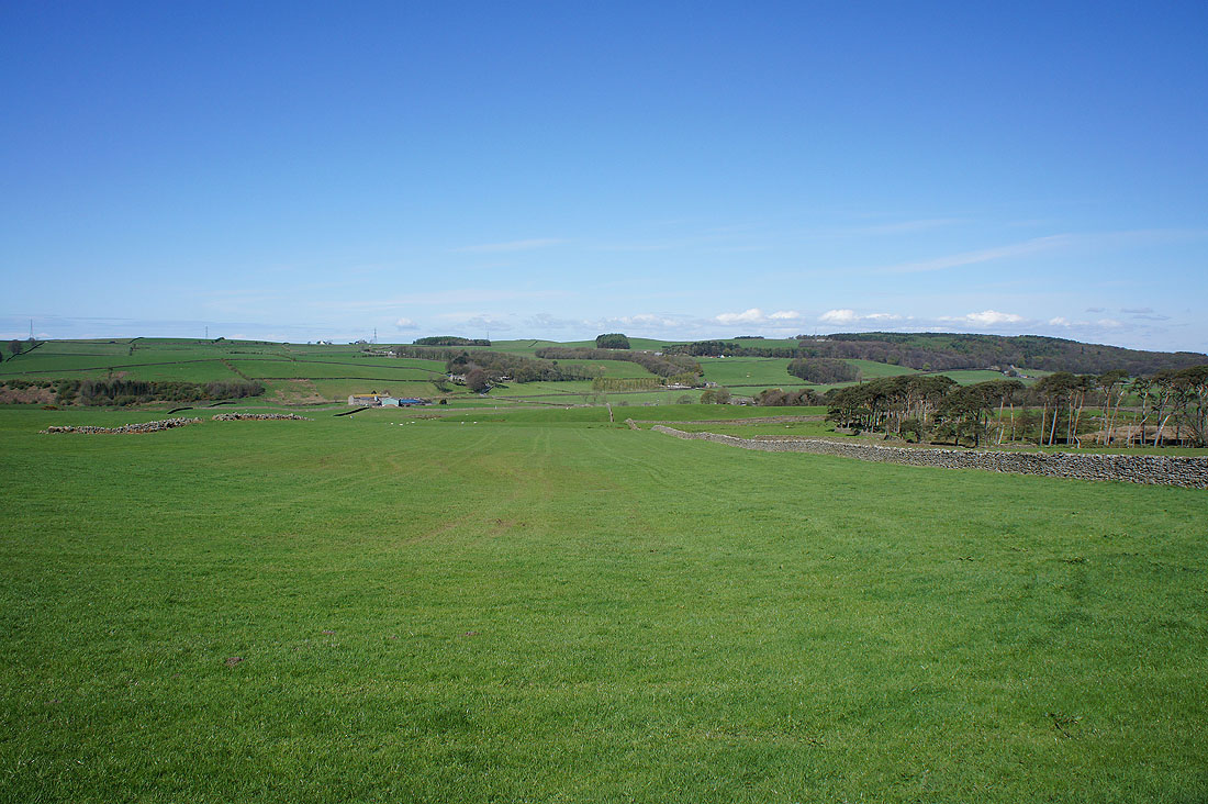
It's a lovely morning as I look across the valley of the River Condor from Rigg Lane
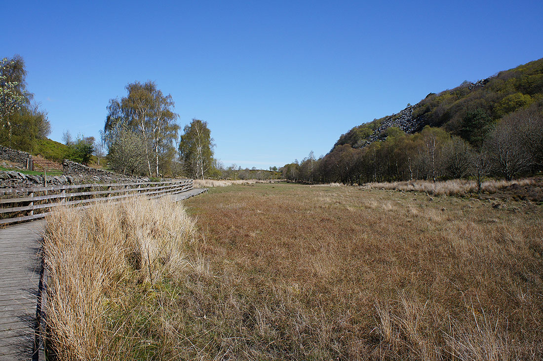
Thank goodness for these duckboards. The ground below Birk Bank is very boggy.
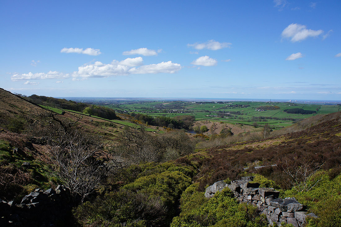
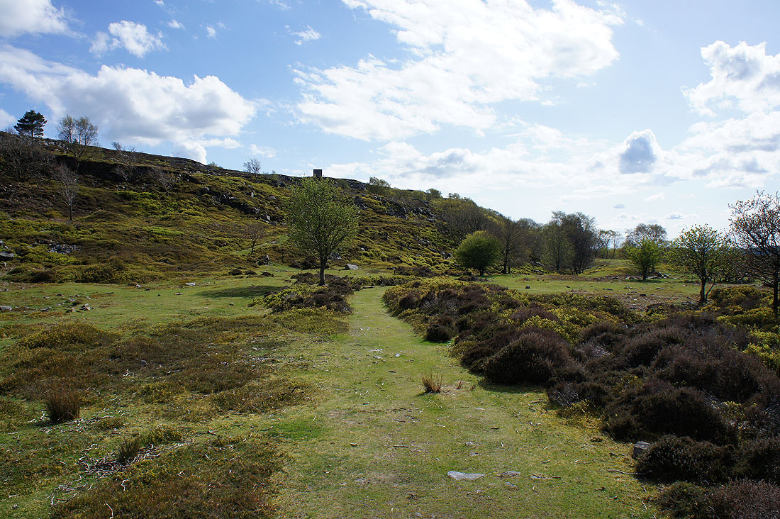
A clear view down to the coast as I exit the top of the woodland..
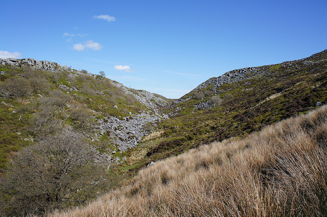
..and reach Windy Clough
Now I'm above Windy Clough I have a fantastic view across Morecambe Bay to the Lake District
The top of Clougha Pike ahead
The view becomes more extensive as I head up Clougha Scar
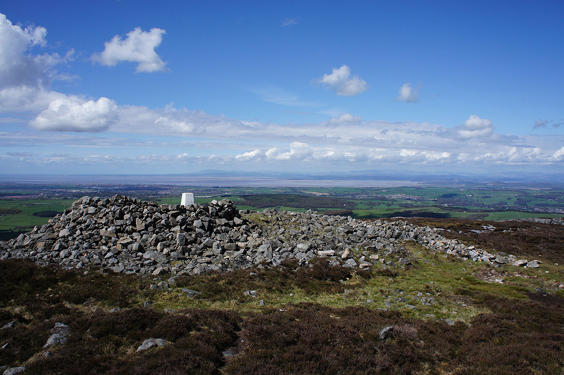
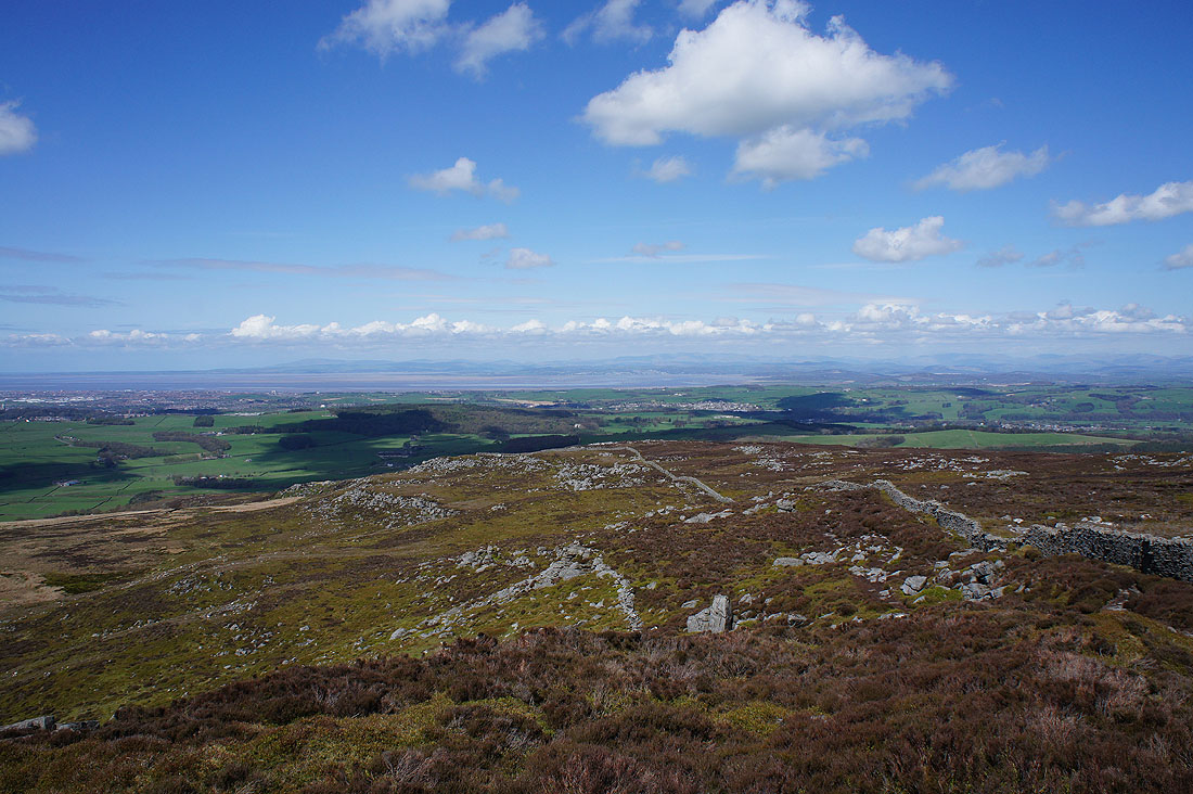
The large shelter and trig point on Clougha Pike. Time to have my lunch and take in the great all round view.
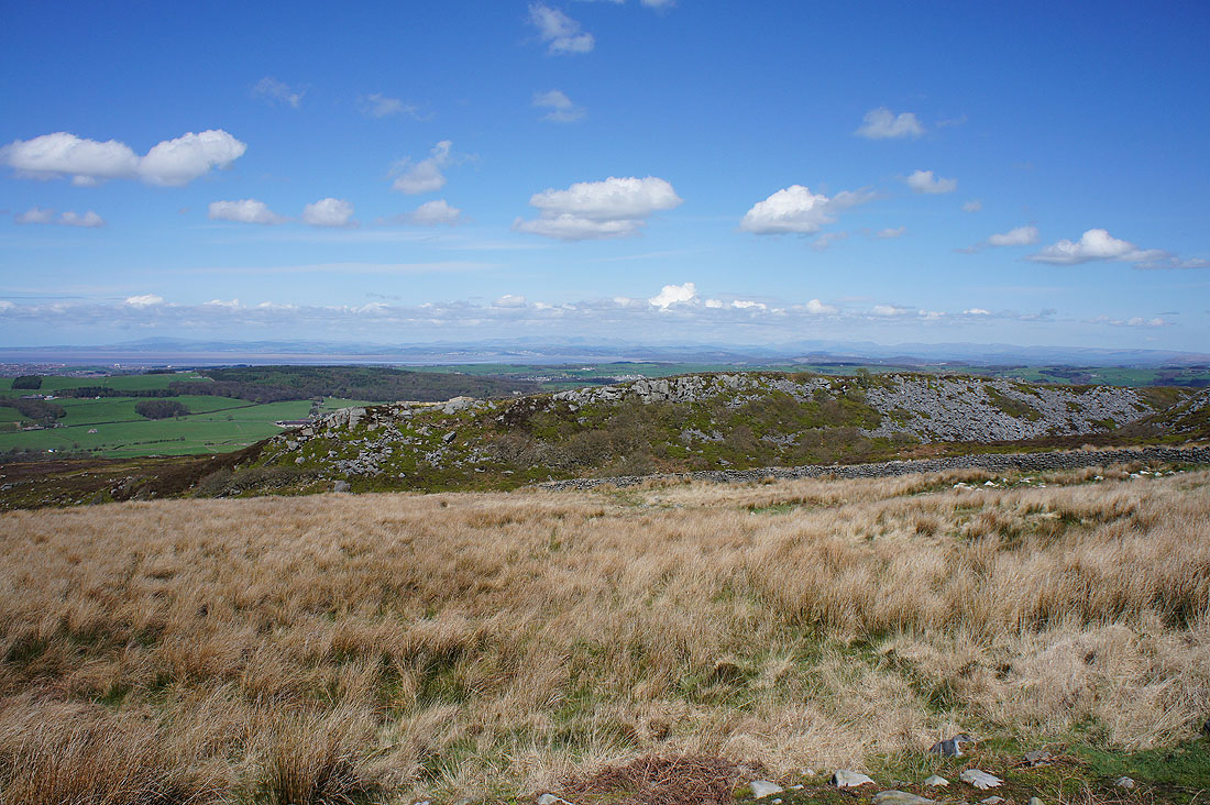
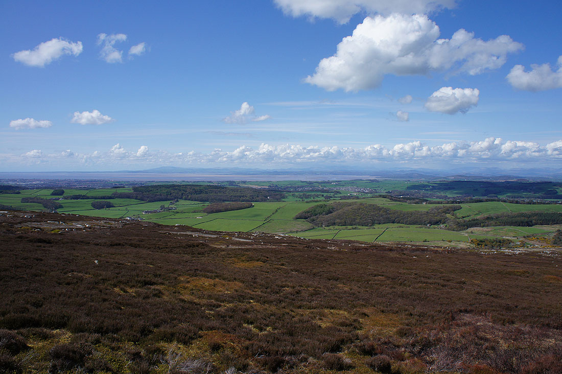
Looking across Wyresdale and down the Flyde coast
The Lune estuary to the west

Lancaster and Morecambe
To the northwest the glorious view of the Lake District across Morecambe Bay
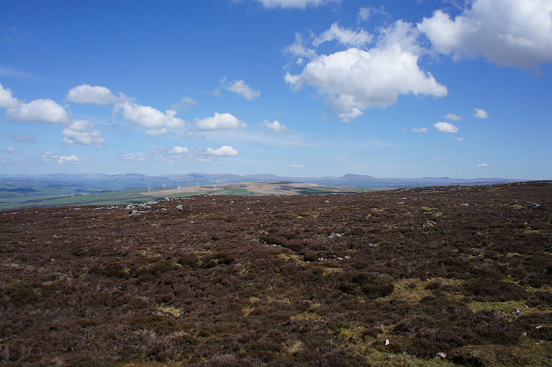
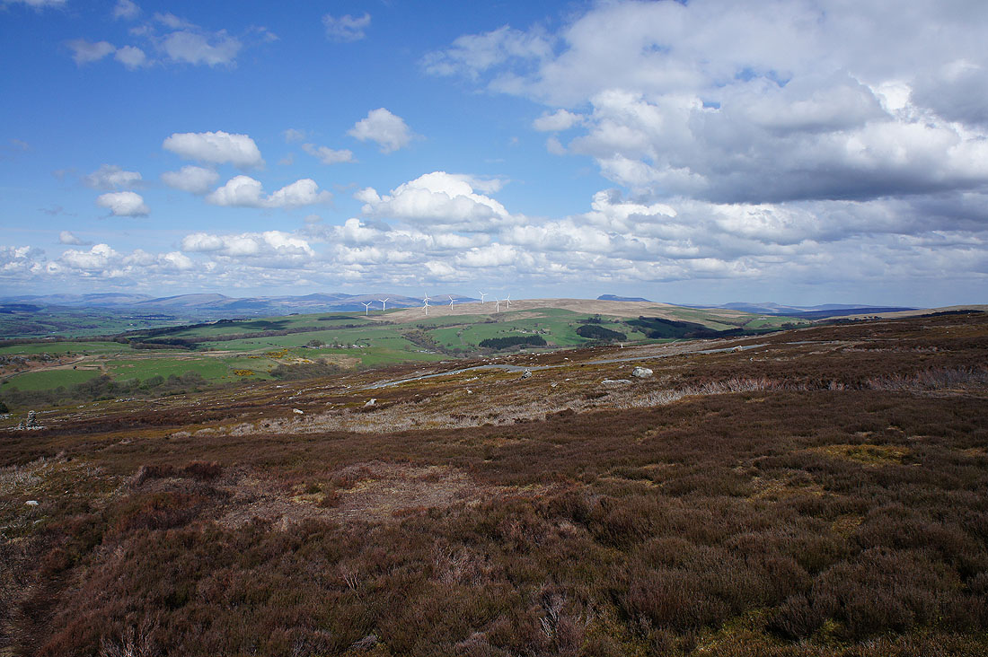
and finally to the northeast the fells of the Yorkshire Dales. The Howgills, Middleton Fell, Great Coum, Whernside, Ingleborough and Penyghent can all be seen.
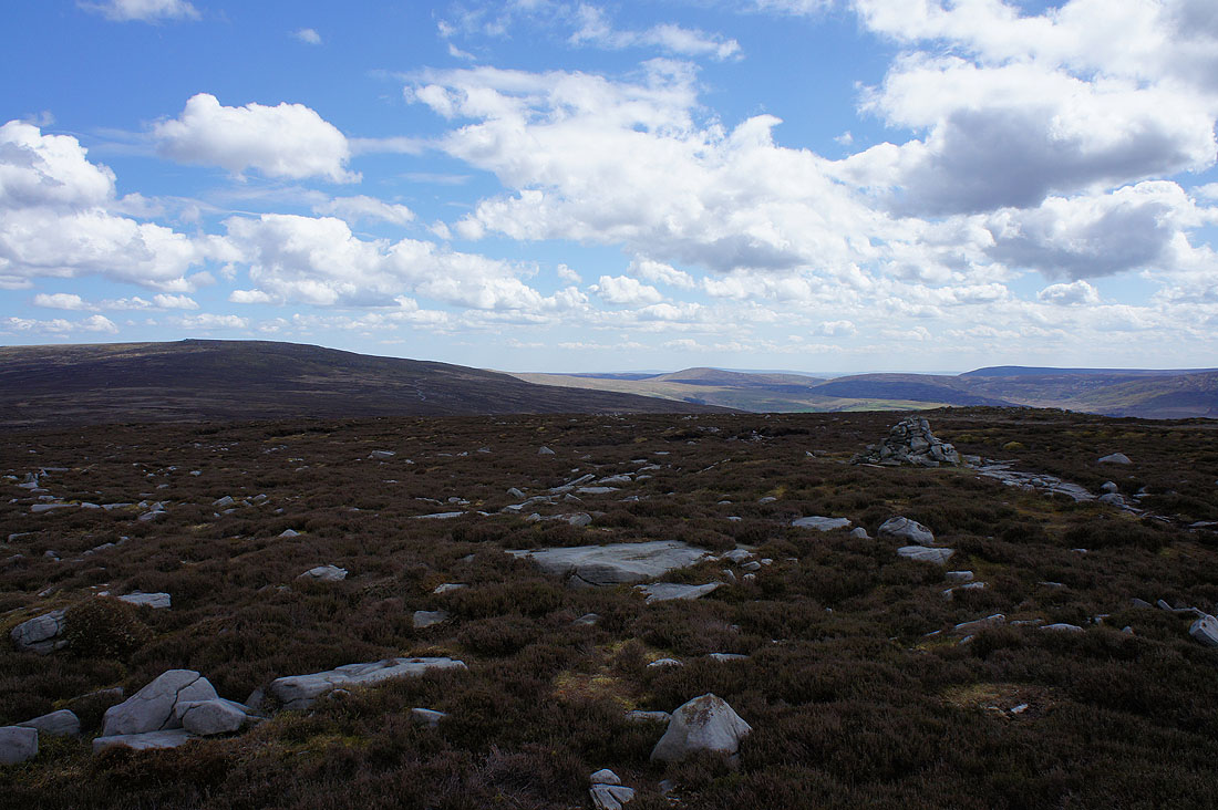
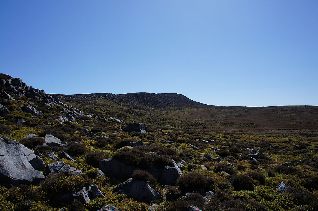
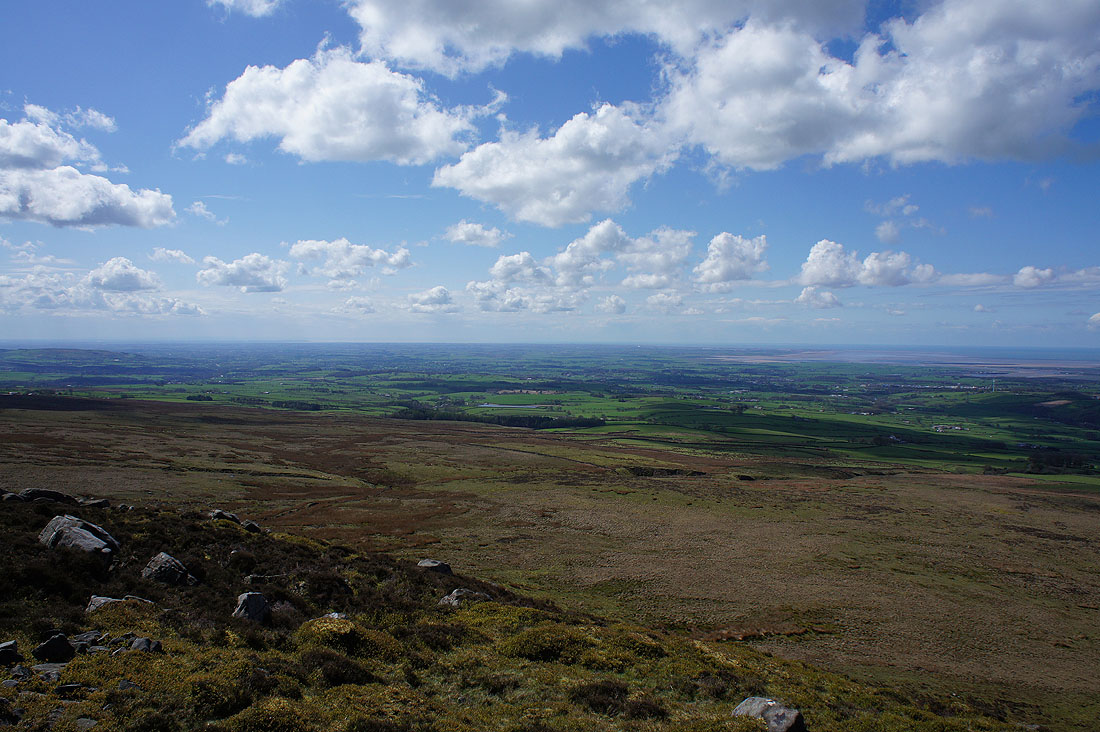
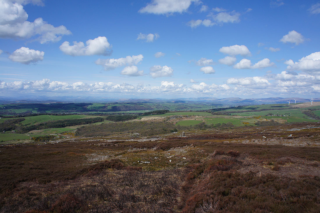
I lost the sunshine for while on the way over to Grit Fell. There is a view into the heart of Bowland from here though. Ward's Stone on the left with the fells around the Trough of Bowland on the right.
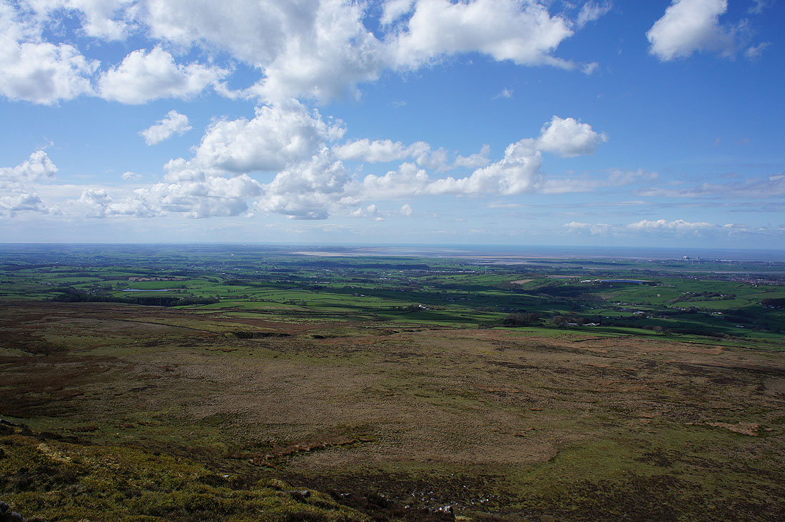
and looking across to the Yorkshire Dales
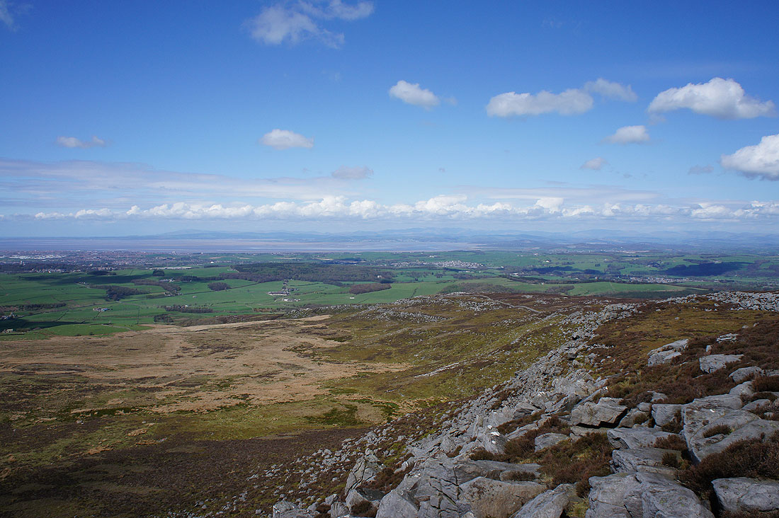
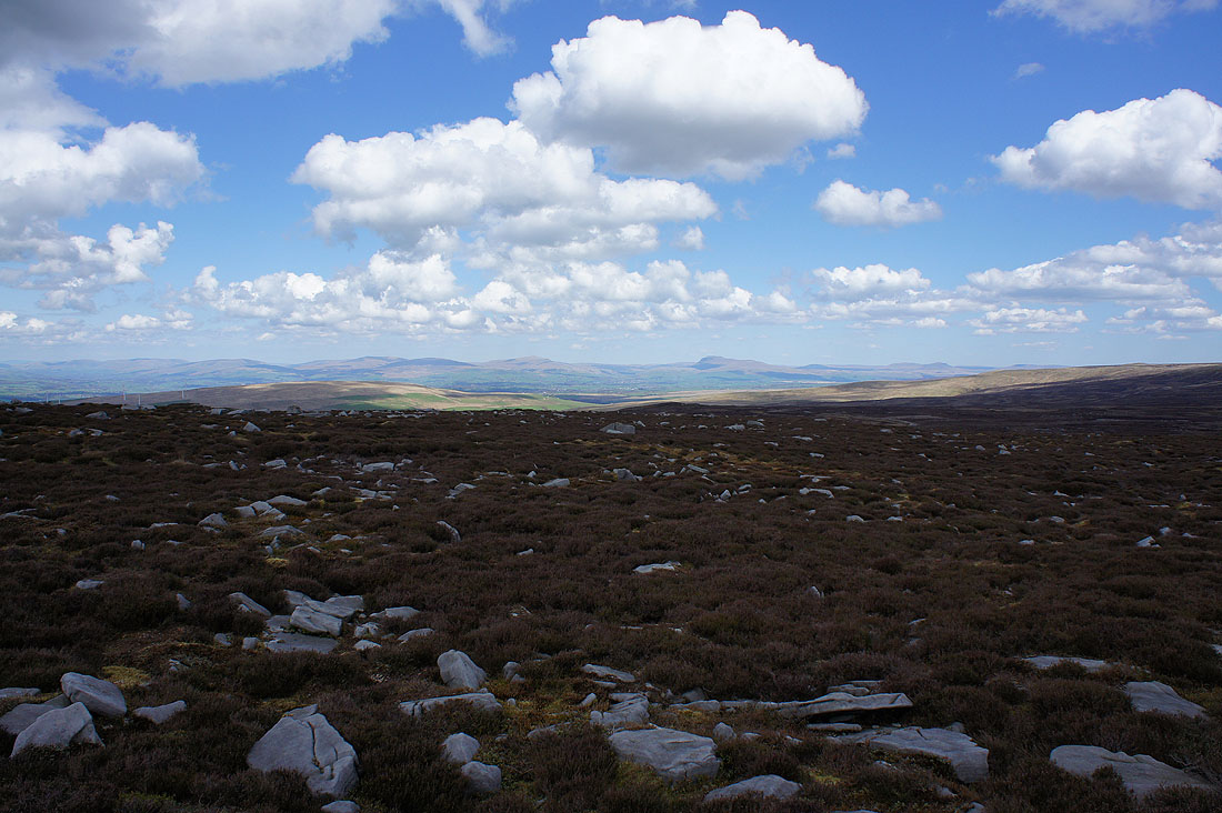
The sun is out again as I follow the shooters track across the back of Clougha Pike
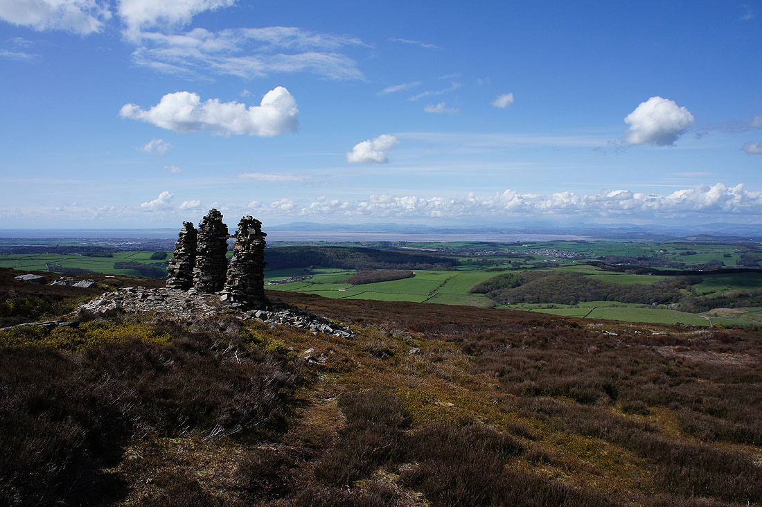
I couldn't resist leaving the track for these three cairns
What a view...

I stitched the three photos together to make a panorama which I've annotated and made available to download
| clougha_pike_panorama.jpg |
Sorry. Couldn't help taking another photo. The foreground of grey gritstone boulders and the bright green of the fresh growth on the bilberries caught my eye.
The rocky crest of Baines Cragg
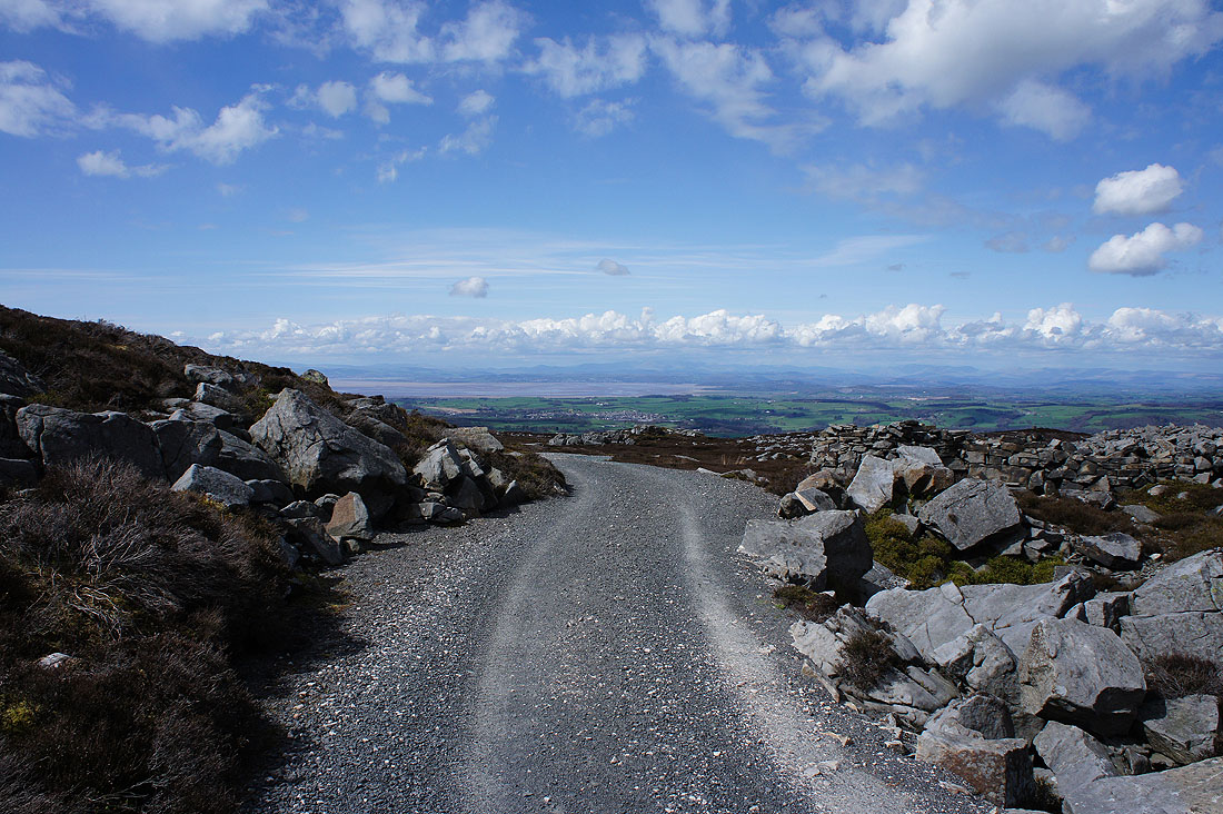
Heading back to the car park below Birk Bank
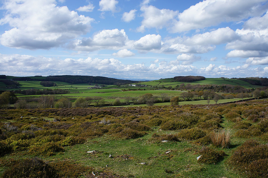
A last shot looking across the Condor valley