27th August 2016 - Bowland Knotts
Walk Details
Distance walked: 8.6 miles
Total ascent: 1409 ft
OS map used: OL41 - Forest of Bowland & Ribblesdale
Time taken: 6hrs
Route description: Cross of Greet Bridge-Kenibus-Lock Bridge-Parks Clough-Pike Side-Bowland Knotts-Cold Stone-Great Harlow-Cross of Greet-Cross of Greet Bridge
The best weather of the bank holiday weekend was forecast for Monday but today was set to be reasonable so I decided to head for what has to be up there as my favourite part of the Forest of Bowland along with the area around Clougha Pike. Both locations have fantastic wide ranging views across miles of countryside and hills. Another thing both areas have in common is solitude. If you want to get away from it all this is the place to go to. I didn't see anyone else walking on the hills today and I'm struggling to remember if I saw anyone on my previous visits either. Certainly more common were cyclists, I met a number of them making their way up and down the two fell roads I encountered. Weather wise it was pretty good. I set off with warm sunshine and it stayed that way into the afternoon though increasingly hazy with a freshening breeze. It wasn't until I walking down the road back to the Cross of Greet Bridge that the cloud really started to threaten as it was forecast to do and I drove home through a shower.
Starting from the parking area at the Cross of Greet Bridge I set off by walking south along the road until I reached the driveway to the farms of Kenibus and Catlow. I followed the public footpath along this across Lock Bridge before leaving it to take the path up Parks Clough and the track onto access land. The path then heads up the hill of Pike Side to reach a rough track that crosses the fell to the road below Bowland Knotts. After admiring the view and having my lunch here I continued by following the ridgeline west to the fell of Great Harlow. For the most part I kept to the north side of the wall or fence, except for the visits to the trig point at the western end of Bowland Knotts and the gritstone outcrop of Cold Stone. Once across the boggy top of Great Harlow I reached a junction of a wall and two fences. One of the fences was crossed via a stile and then the other was followed west down to the Lythe Fell road. The going was pretty wet underfoot in places and I certainly didn't keep to a straight line. When I reached the road I was just left with a walk down it back to the Cross of Greet Bridge.
Route map
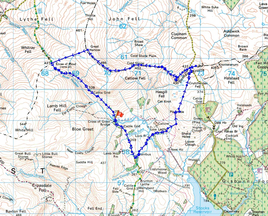
© Crown copyright. All rights reserved. License number PU 100034184.
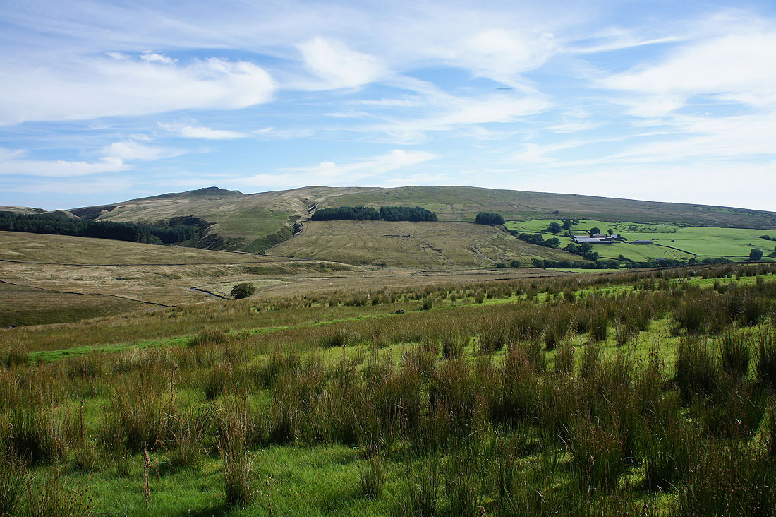
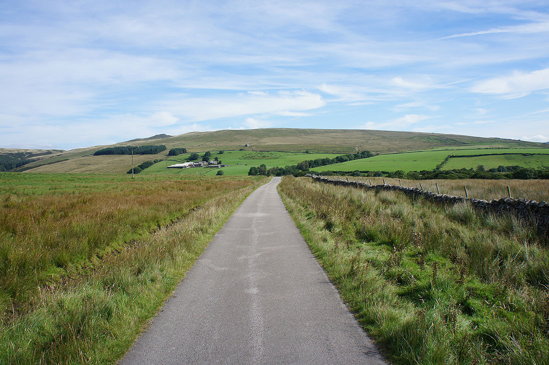
Before I set off, a shot of Catlow Fell. I'll be walking down this road some time later.
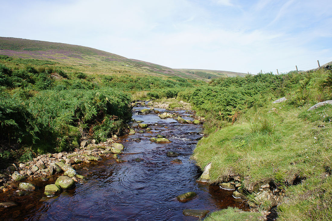
and the River Hodder at the Cross of Greet Bridge
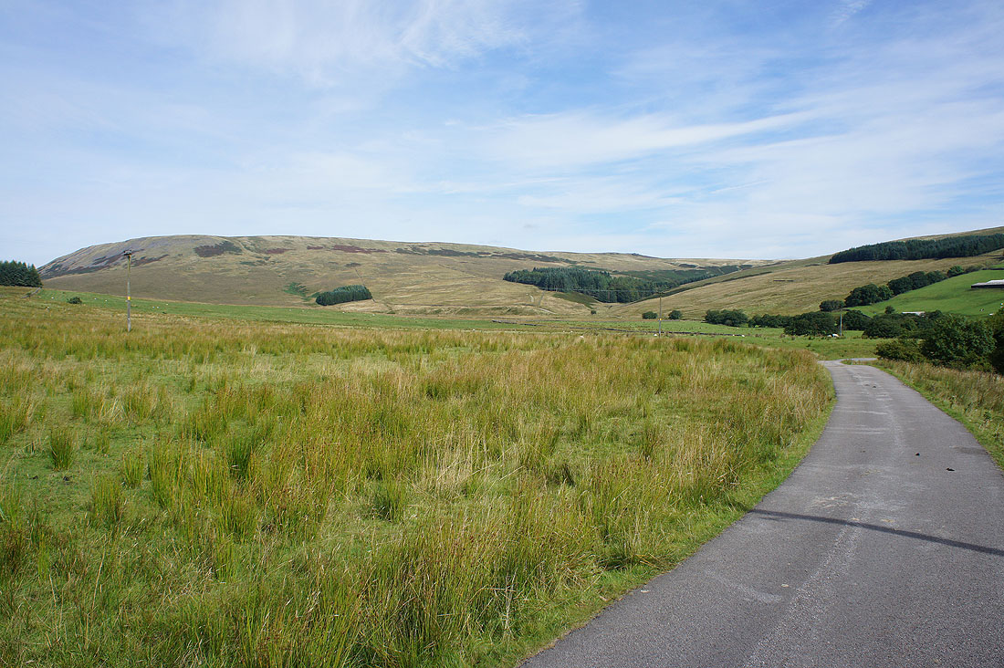
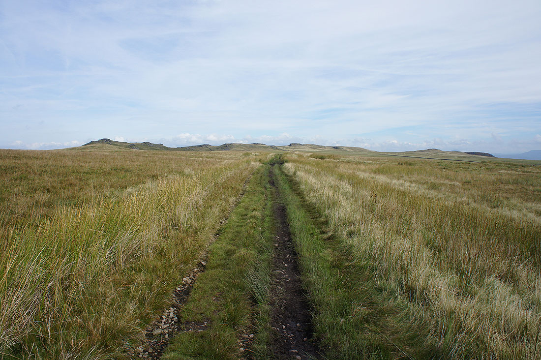
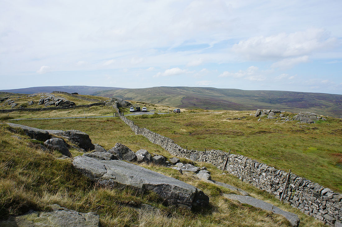
The craggy top of Bowland Knotts on the left and Hasgill Fell as I walk south along the road
and again as I walk along the driveway to Catlow Farm
Another shot of Catlow Fell
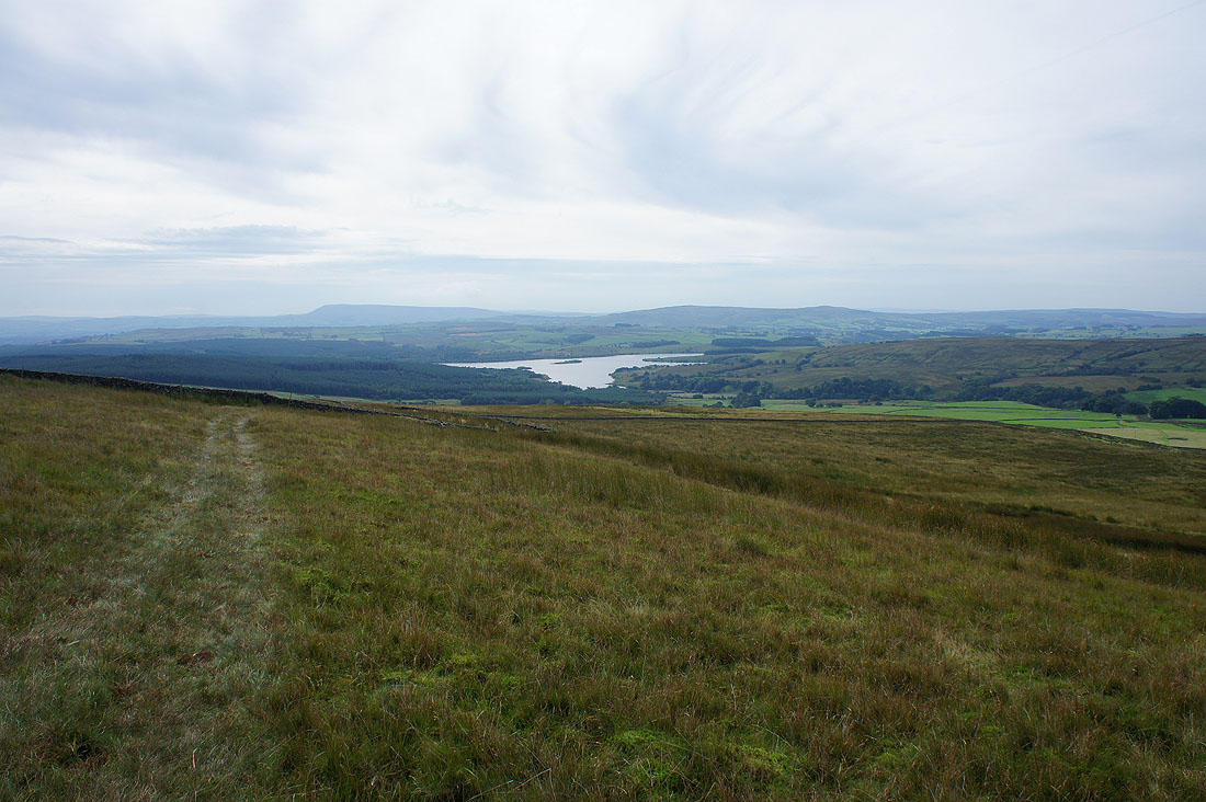
Looking back to Pendle Hill, Stocks Reservoir and Easington Fell as I head up onto Pike Side
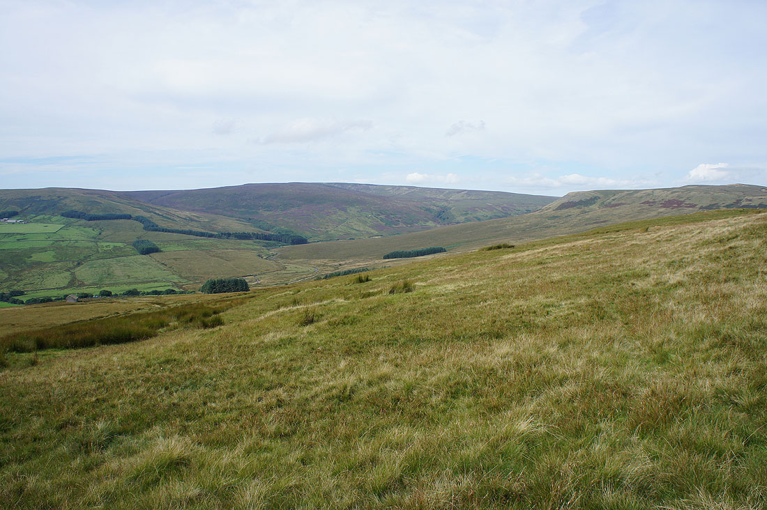
and across the valley of the infant River Hodder to White Hill
Approaching the craggy outline of Bowland Knotts..
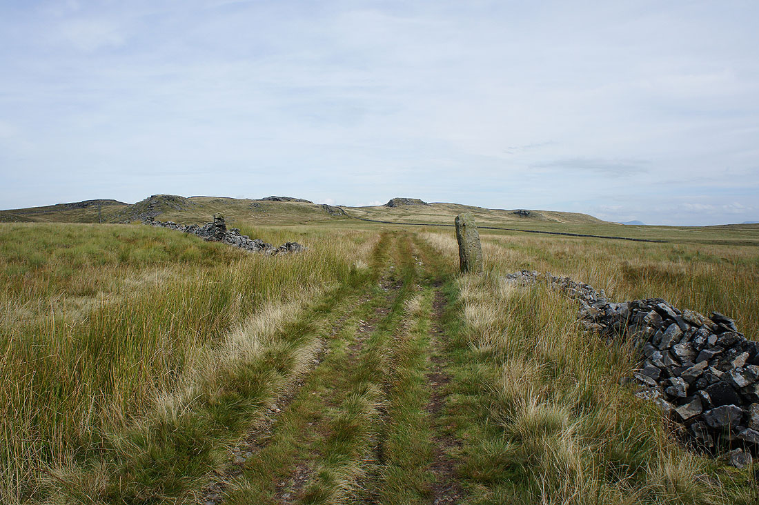
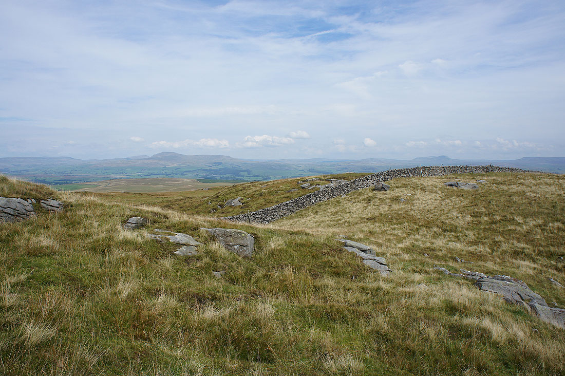
The high point of Bowland Knotts is at the trig point on the top of the crag on the left
After crossing the road over the fell here I am greeted by fantastic views of Whernside, Ingleborough and Penyghent to the northeast in the Yorkshire Dales...
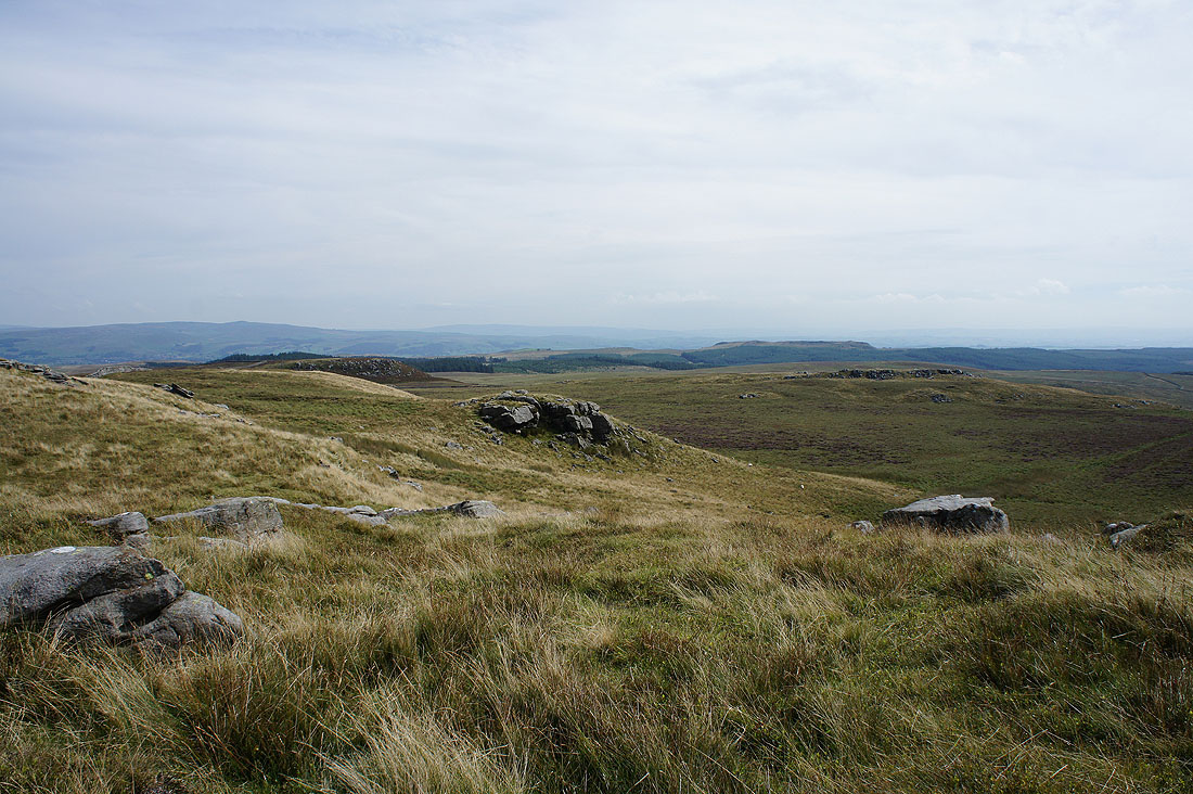
The conifer plantations of Gisburn Forest and Whelp Stone Crag to the east
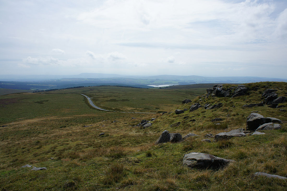
Pendle Hill, Stocks Reservoir and Easington Fell to the south plus the road down to Stocks Reservoir
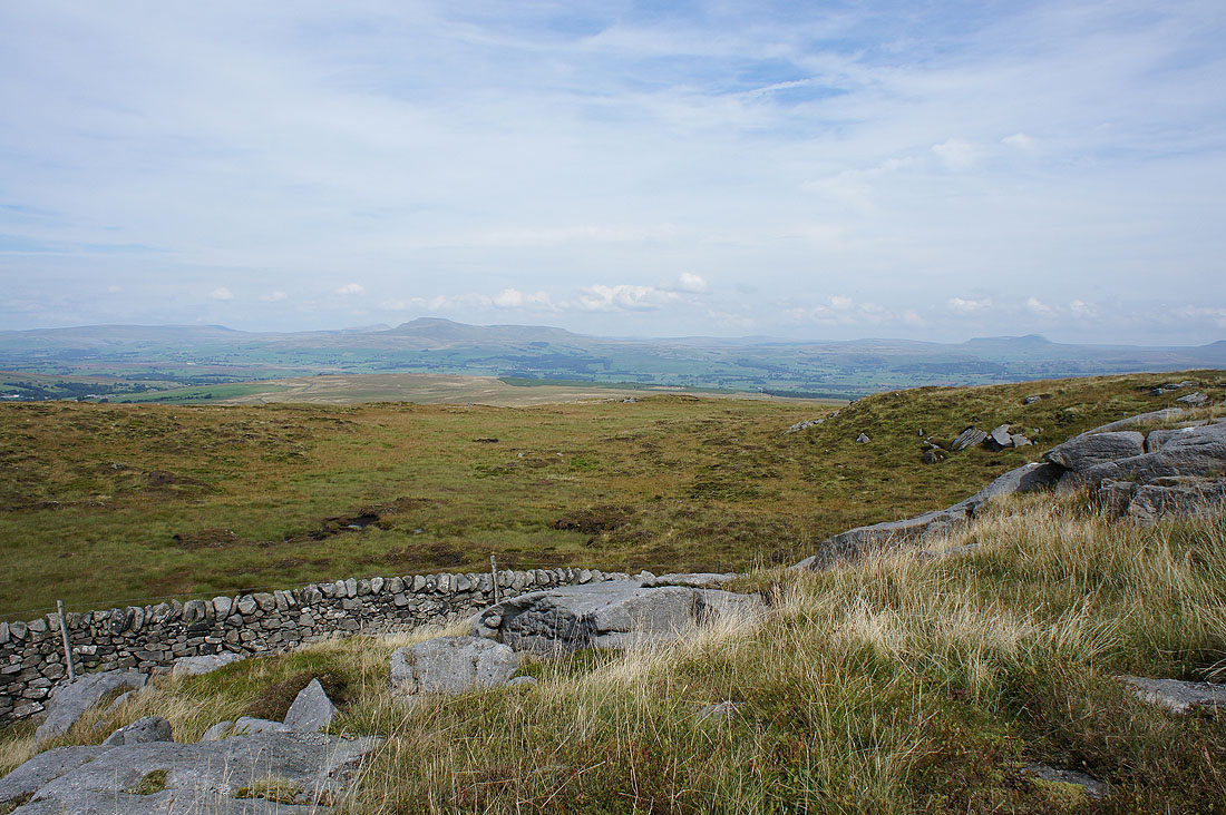
Finally, looking west across the fell road to Great Harlow. I'll be heading that way later after paying the trig point a visit. It's out of shot on the left on the other side of the road.
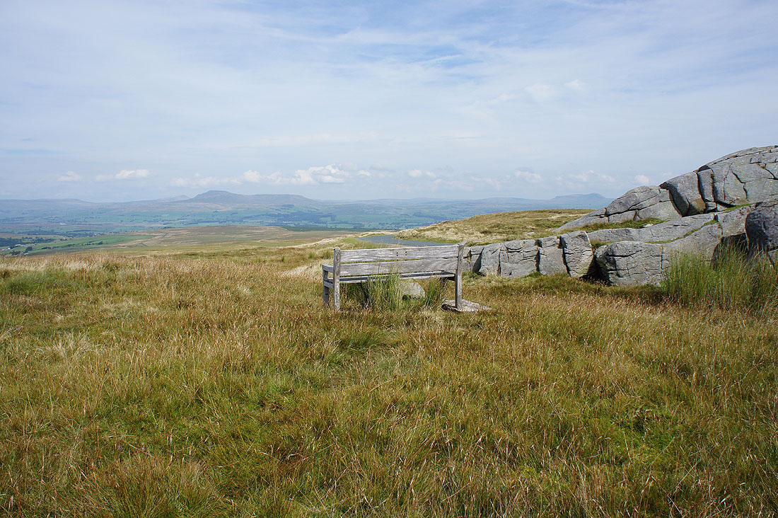
My lunch spot with a view
I can't help but take more photos of the view across to the Yorkshire Three Peaks as I near the trig point. The jumble of boulders and craggy outcrops make a great shot.
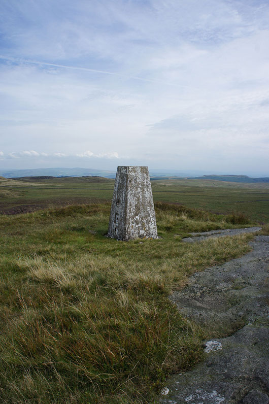
At the trig point on Bowland Knotts
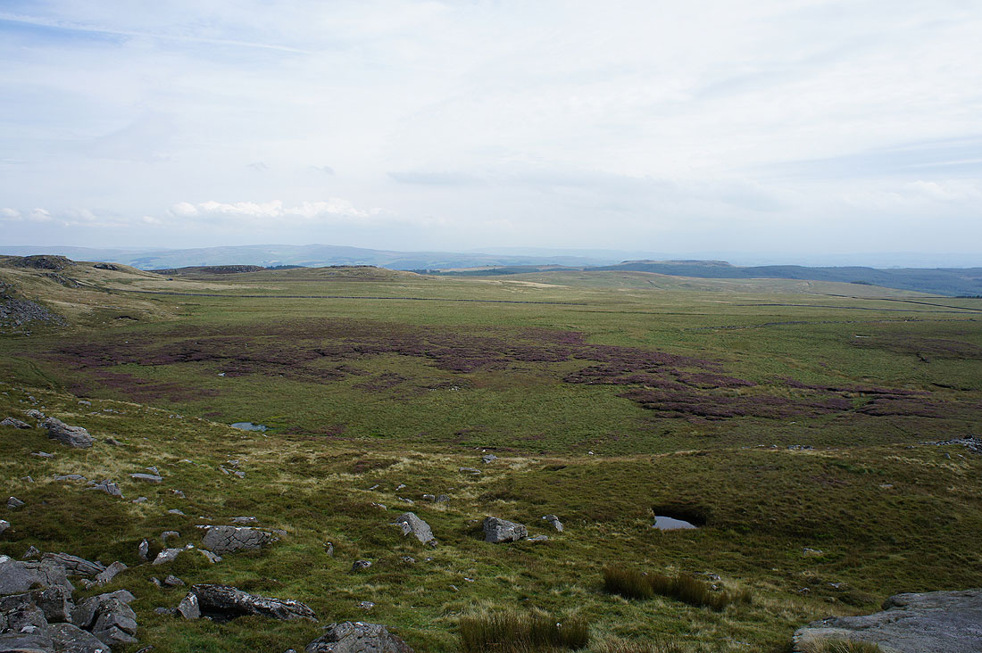
Whelp Stone Crag to the east across the boggy ground of Old Moss
Pendle Hill and Easington Fell. Cloud is increasing from the south as forecast. Hopefully it will stay dry till I'm finished.
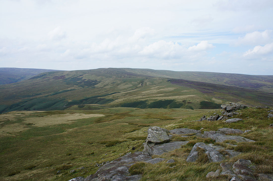
The fell of Great Harlow to the west
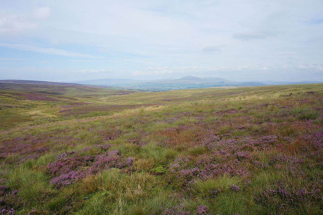
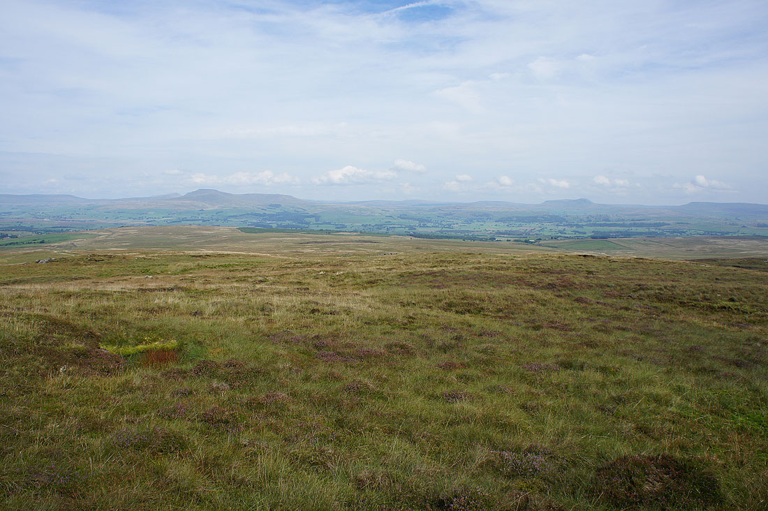
Heathery moors surround the headwaters of Keasden Beck with Gragareth, Great Coum, Whernside and Ingleborough in the distance
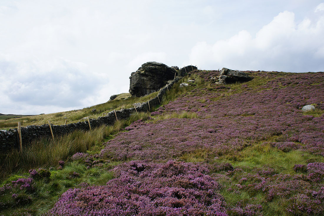
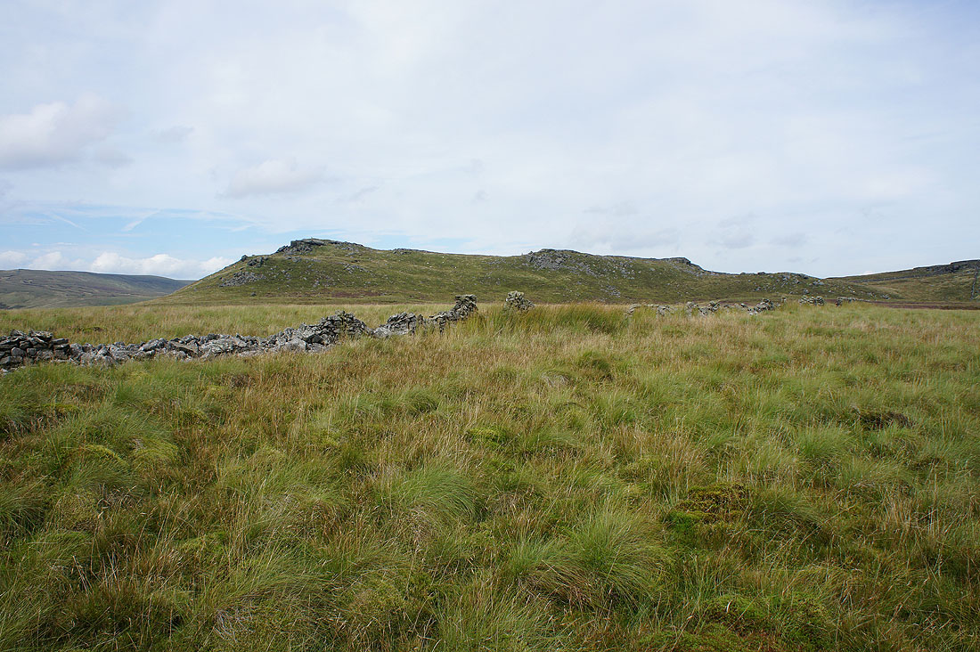
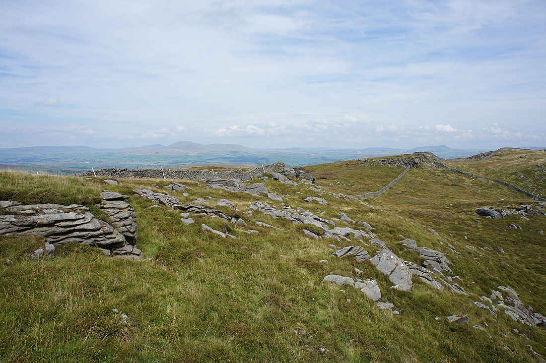
Approaching the gritstone outcrop of Cold Stone
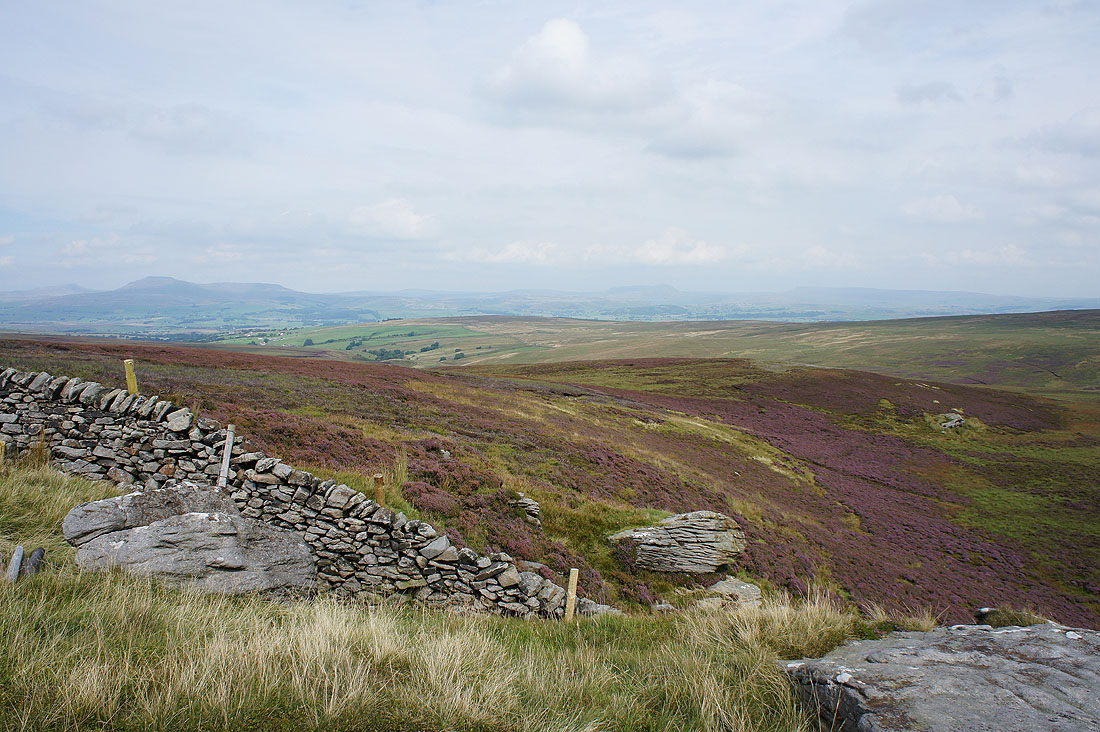
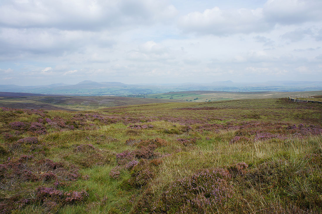
Pendle Hill, Stocks Reservoir and Easington Fell from Cold Stone
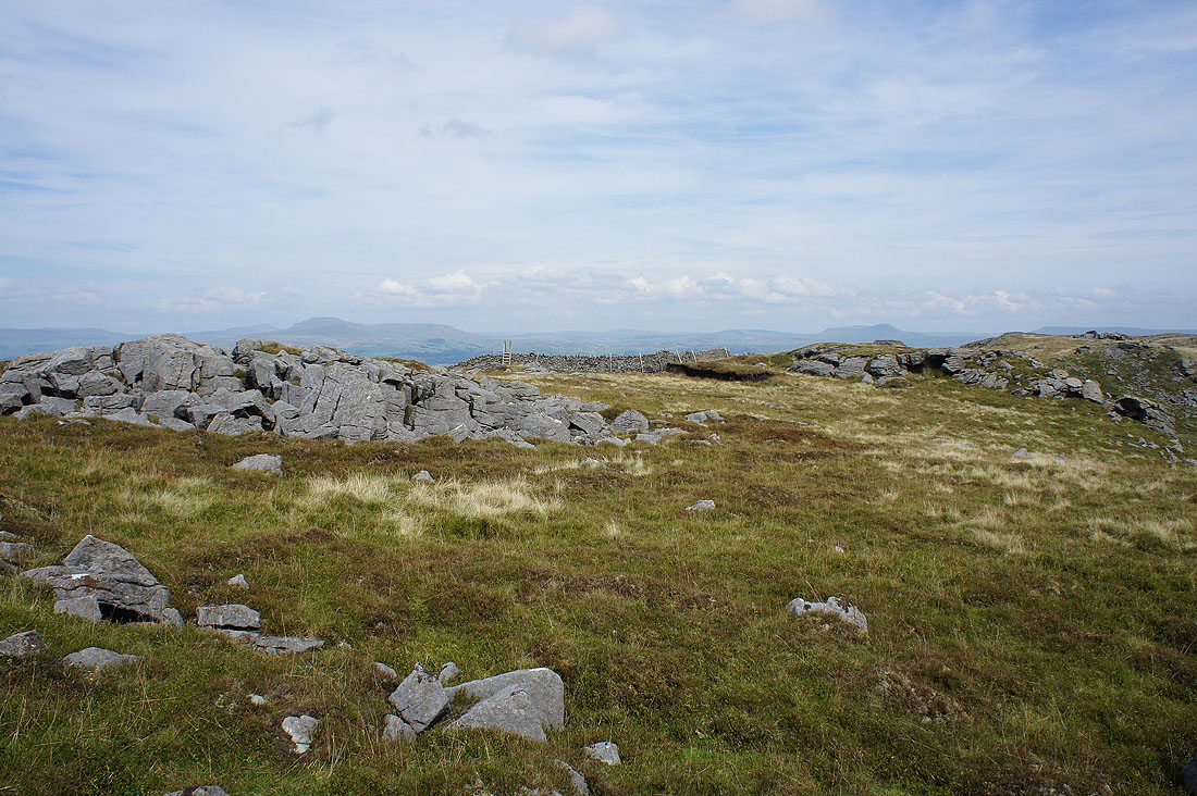
Whernside, Ingleborough, Penyghent and Fountains Fell in the distance
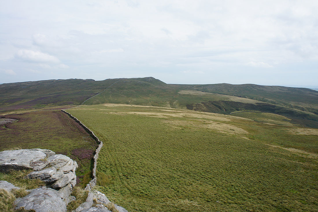
Looking across to Bowland Knotts
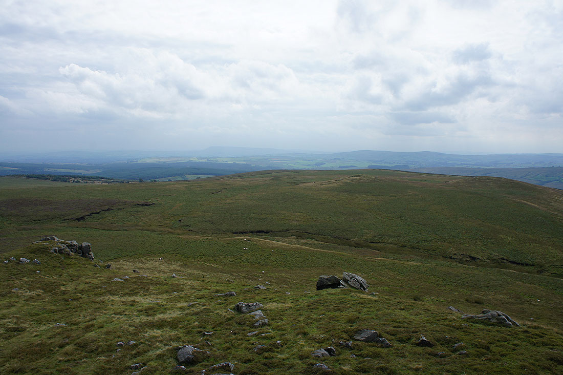
Another great view across heathery moors to Whernside, Ingleborough and Penyghent as I head up Great Harlow
and looking back to Bowland Knotts..
..as I reach the boulders of Ravens Castle
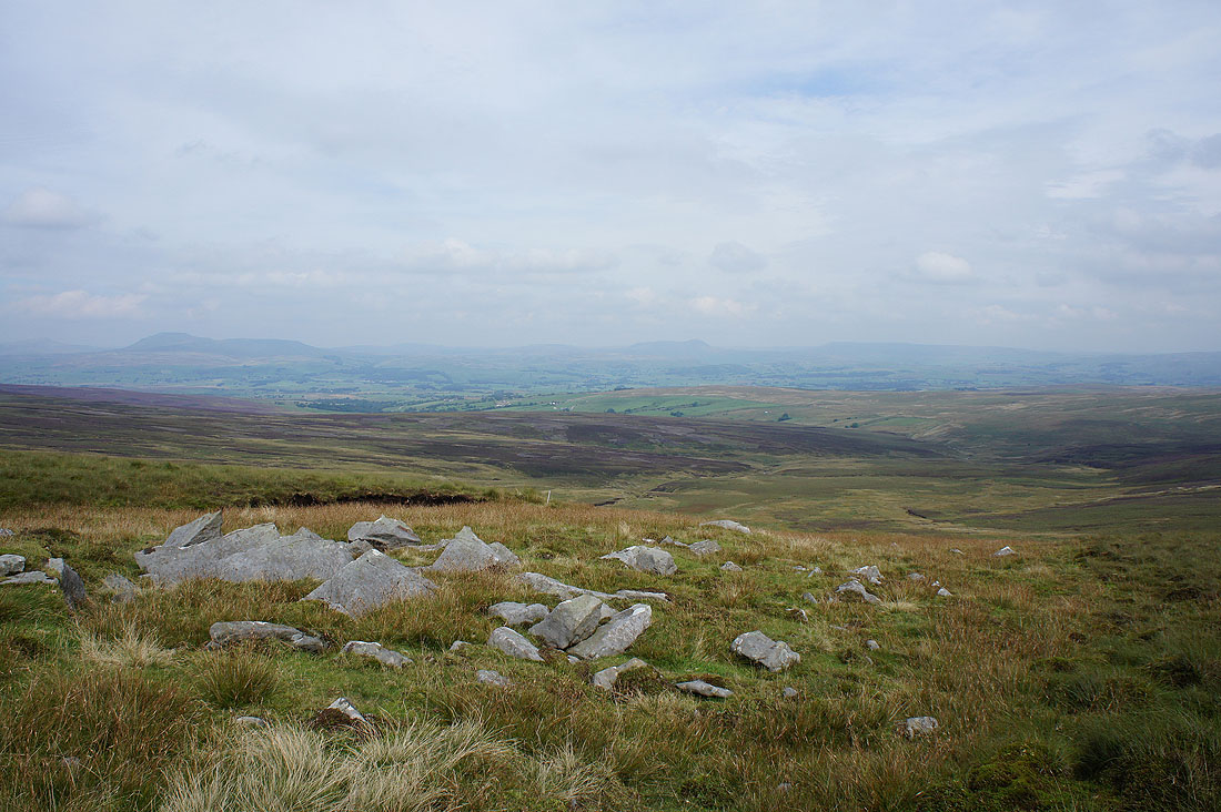
Ingleborough, Penyghent and Fountains Fell from Ravens Castle. It's definitely become a bit hazy during the past couple of hours.
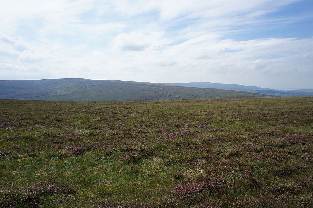
The neighbouring Bowland fells of White Hill and Ward's Stone
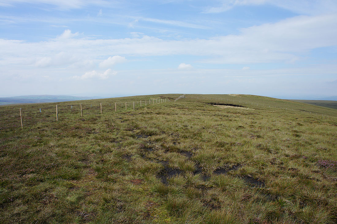
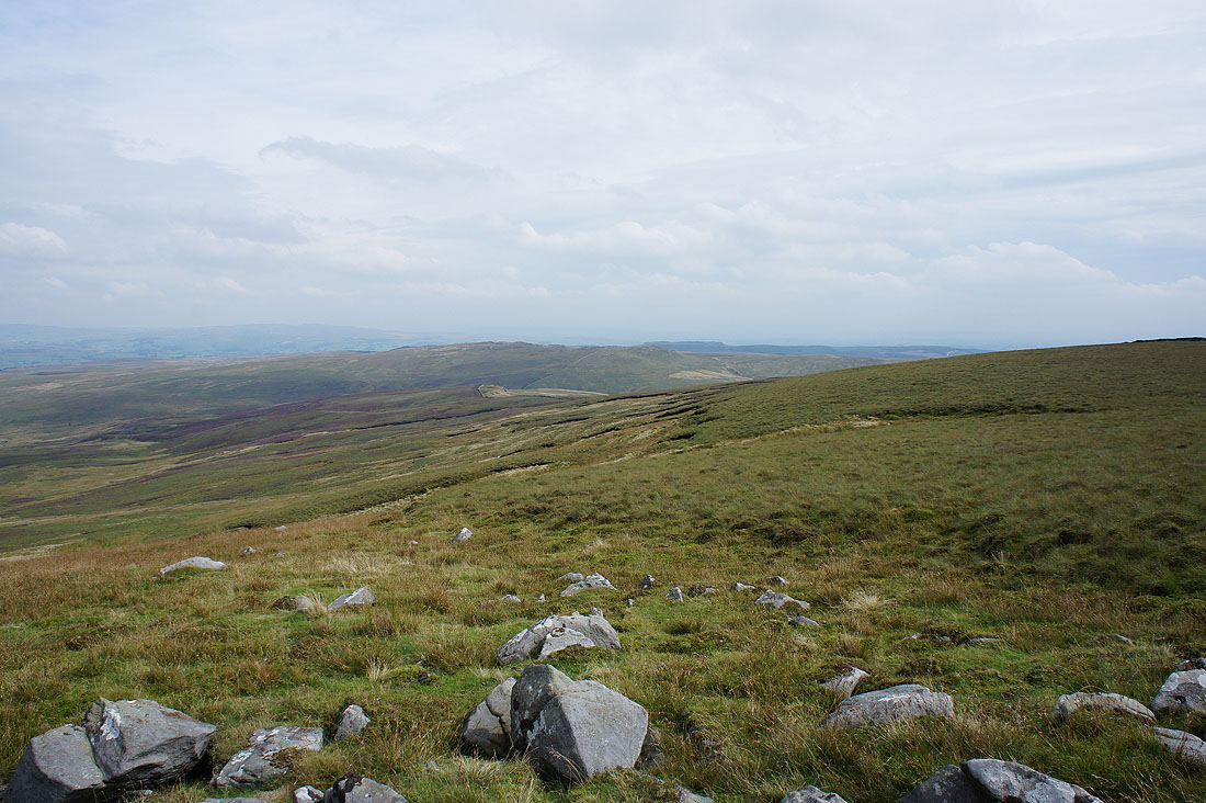
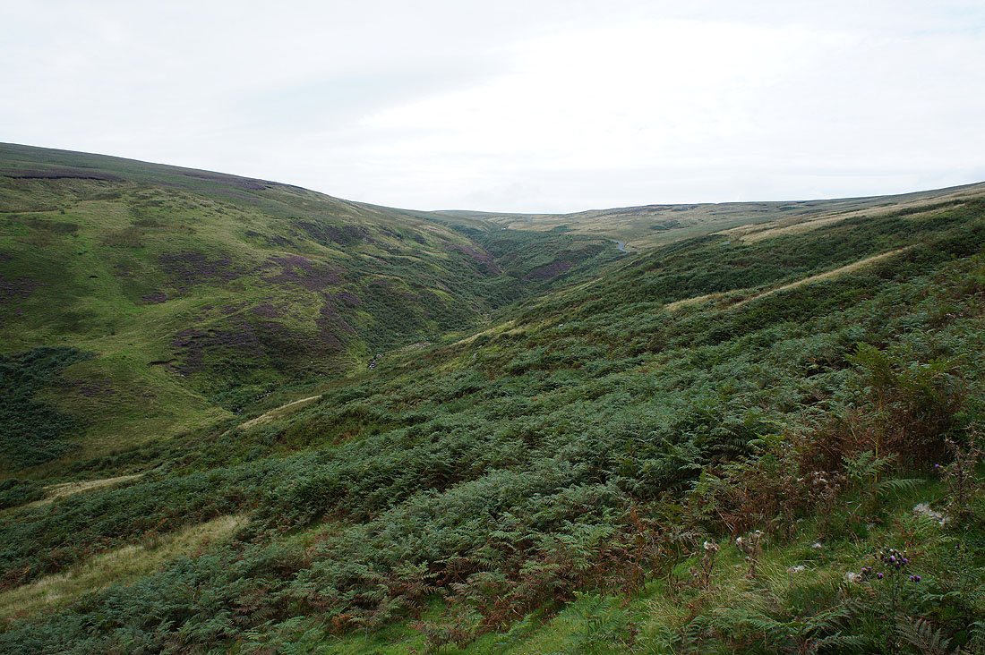
Crossing the boggy top of Great Harlow
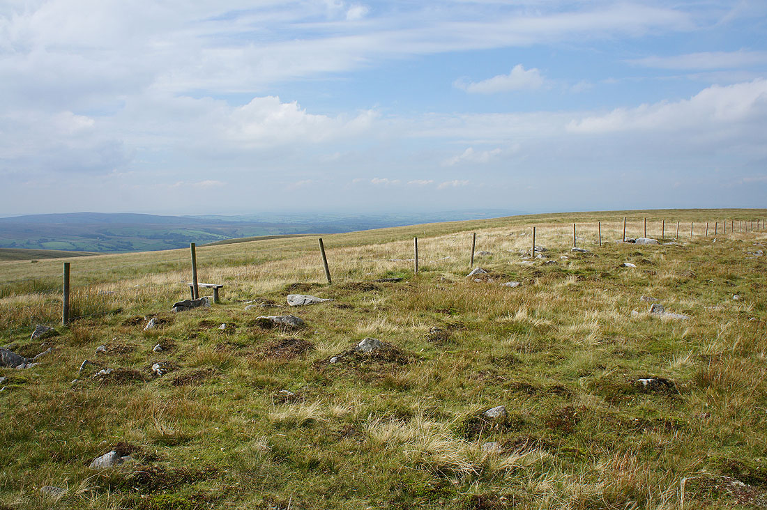
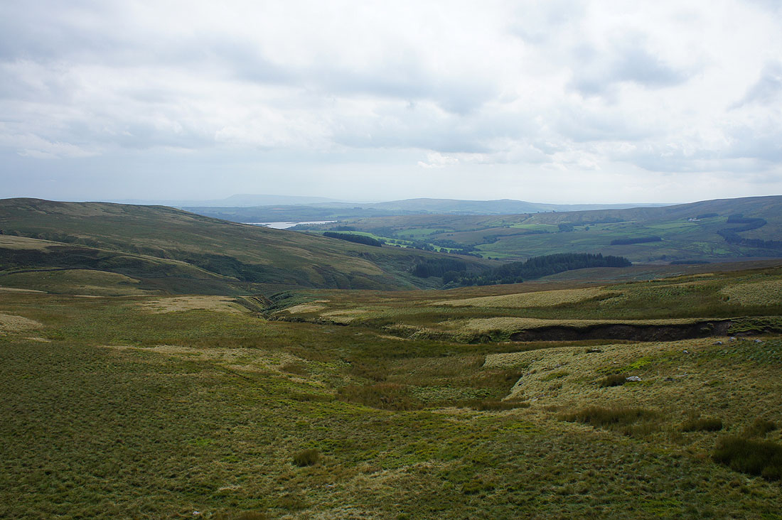
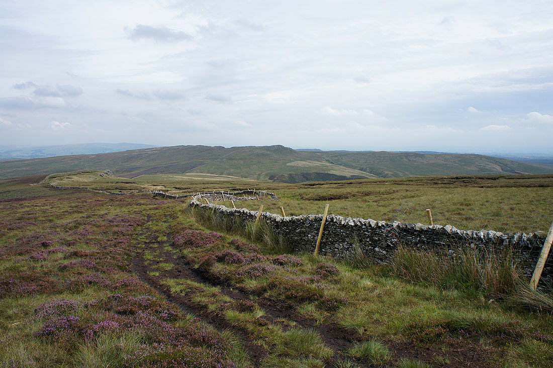
As I reach another fence I get a hazy view of Caton Moor and a bit of Lunesdale
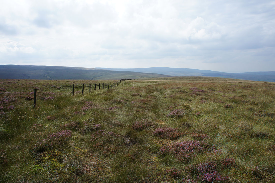
After crossing the fence in the previous photo I'm now following this one across boggy ground down to the Lythe Fell road
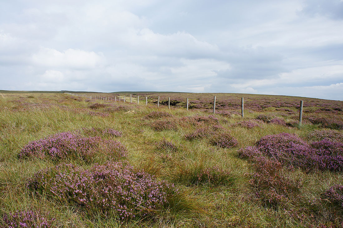
More heather and boggy ground
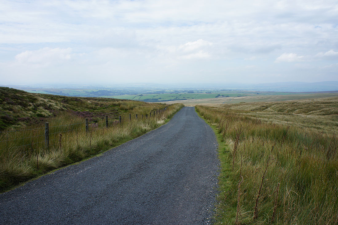
I finally reach dry ground in the form of the Lythe Fell road. Looking north towards Lunesdale.
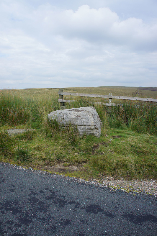
At the summit of the road is the socketed stone that once held the Cross of Greet
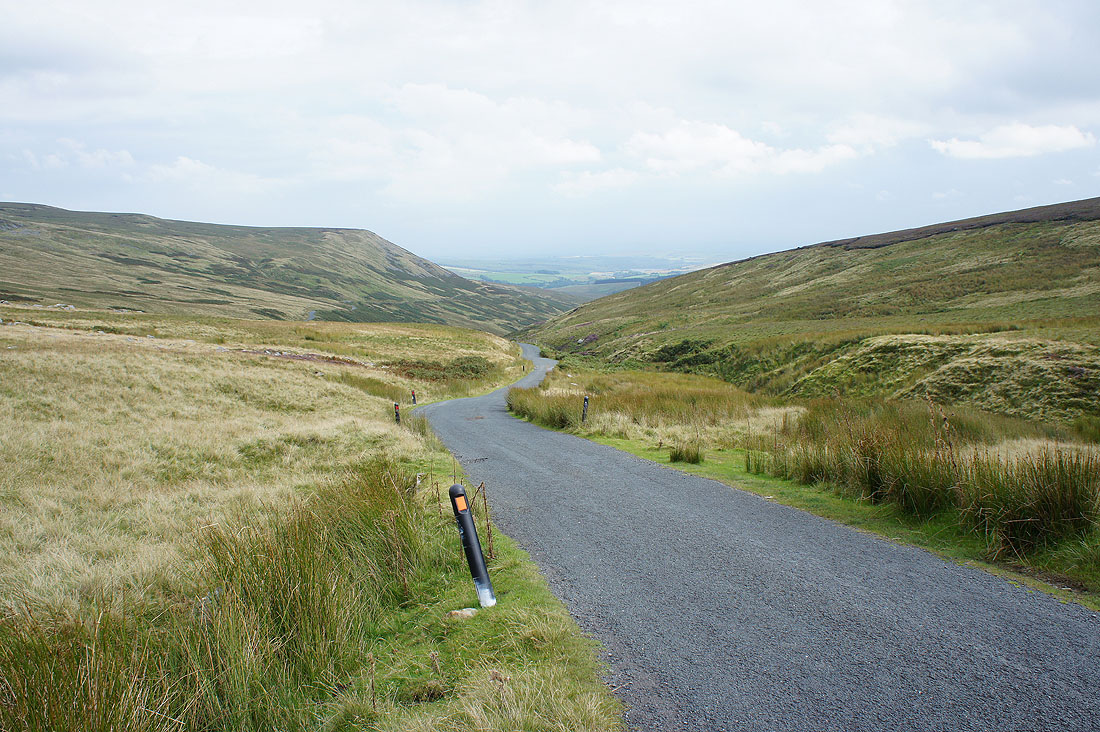
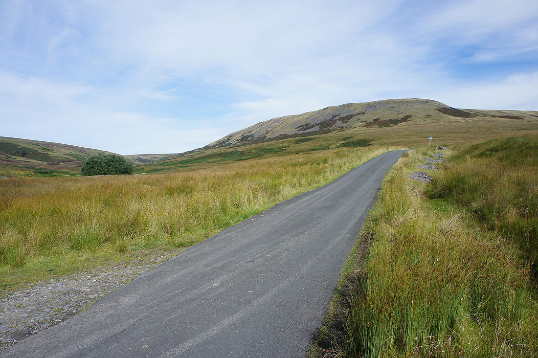
I now have a walk south along the road back to the Cross of Greet Bridge
The fellside that has the source of the River Hodder
Back at the layby at the Cross of Greet Bridge