27th August 2022 - Ward's Stone
Walk Details
Distance walked: 12.9 miles
Total ascent: 2312 ft
OS map used: OL41 - Forest of Bowland & Ribblesdale
Time taken: 7 hrs
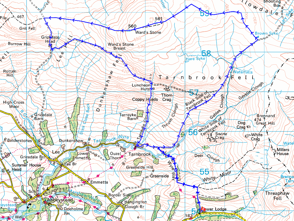
Route description: Tower Lodge, Wyresdale-Wyre Way-White Moor-Wyre Way-Gilberton Farm-Wyre Way-Tarnbrook Fell-Ward's Stone-Dunkenshaw Fell-Tarnsyke Clough-Tarnbrook-Wyre Way-Gilberton Farm-Wyre Way-White Moor-Wyre Way-Tower Lodge, Wyresdale
It's back to the Forest of Bowland for my walk this weekend, and I have a route planned that will take in one fell that I've not visited so far this year, Ward's Stone. Since I now get to this part of the Forest of Bowland a different way after moving home three years ago I decided to come up with a new starting point, Tower Lodge, which is next to the road at the northern end of the Trough of Bowland. There's off-road parking here and I can use the Wyre Way to get to Tarnbrook for the paths up onto Ward's Stone. Given the forecast of a fine summer's day I'd set off expecting to enjoy a great day on the fells with the anticipation of taking in the fantastic all-round views that this part of the Forest of Bowland has to offer. However, it didn't quite turn out that way. There was plenty of sunshine when I set off, but cloud built up through the morning so by early afternoon there wasn't much left, and even worse was the haze that was limiting the visibility. A change in the weather while I was sat having lunch at the moorland top to the south of High Stephen's Head meant that I got the best of the view from Ward's Stone after all. Up until then there had been no wind to speak of, but a breeze from off the sea picked up and pushed the clouds and haze further inland, and this resulted in sunny skies and excellent visibility for taking in the views of the coast and across Morecambe Bay to the Lake District.
From where I parked by the side of the road near Tower Lodge in Wyresdale, I took the track by Tower Lodge and followed it uphill to the edge of access land and White Moor. I went through the gate onto access land and then made my way west along a path to the western edge of access land where I crossed a stile and joined the trail of the Wyre Way. I then followed the Wyre Way north to Gilberton Farm and then along the farm's access road to reach a track where I turned right and left the Wyre Way to make my way uphill along the track above Gables Clough to its top to the west of Wolfhole Crag. I left the track here and took to the open moor, following the fence and then wall west along the top of the moor to Grey Crag and then to the moorland top to the south of High Stephen's Head, where I stopped for lunch. After this break I resumed by following the fence southwest to the eastern end of Ward's Stone's summit plateau, took in the view from there, then crossed the plateau to the western trig point, where I stopped to take in the great view from there. I left the summit by heading west across the moor to pick up the track between Ward's Stone and Grit Fell, which I took south to a shooting hut and another track, which I followed east across Dunkenshaw Fell to another shooting hut and a track down Tarnsyke Clough. I made my way down this track to the hamlet of Tarnbrook, where I turned left and walked through the hamlet and onto the Wyre Way. I then followed the Wyre Way to Gilberton Farm, and from there I retraced my steps back to where I parked by the side of the road near Tower Lodge in Wyresdale.
Route map
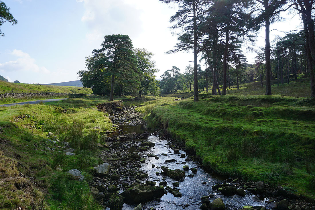
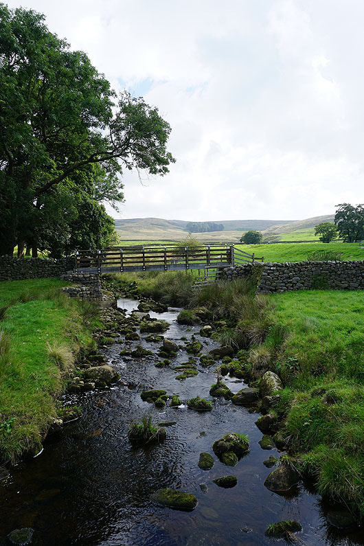
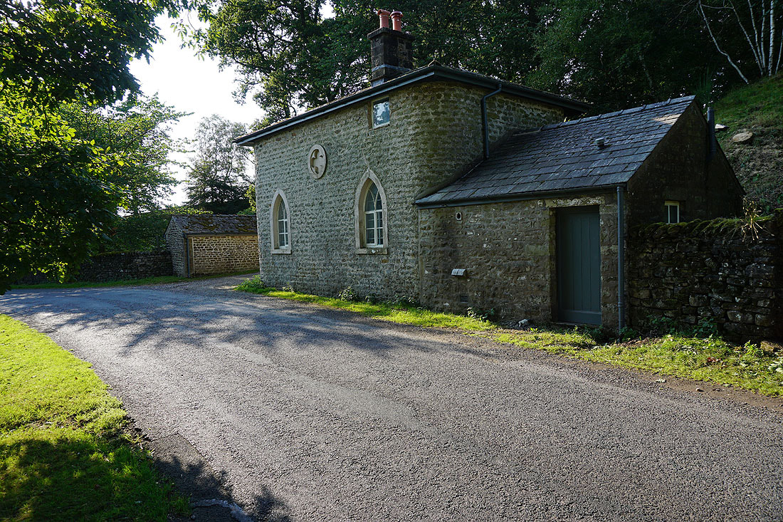
The Marshaw Wyre from where I'm parked next to the road at Tower Lodge
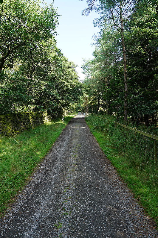
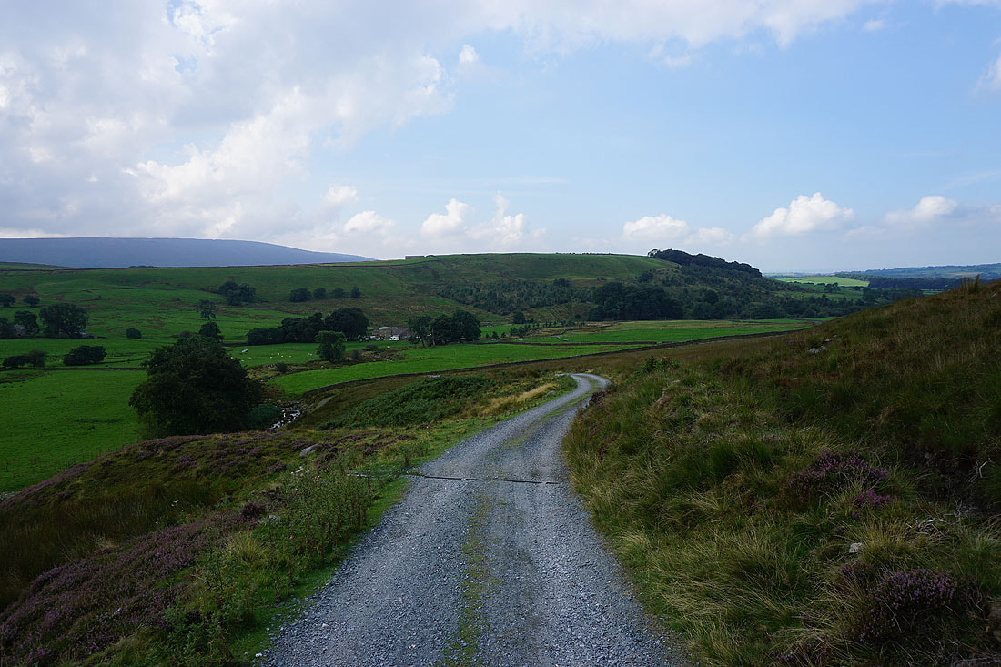
Heading up the track from Tower Lodge to White Moor
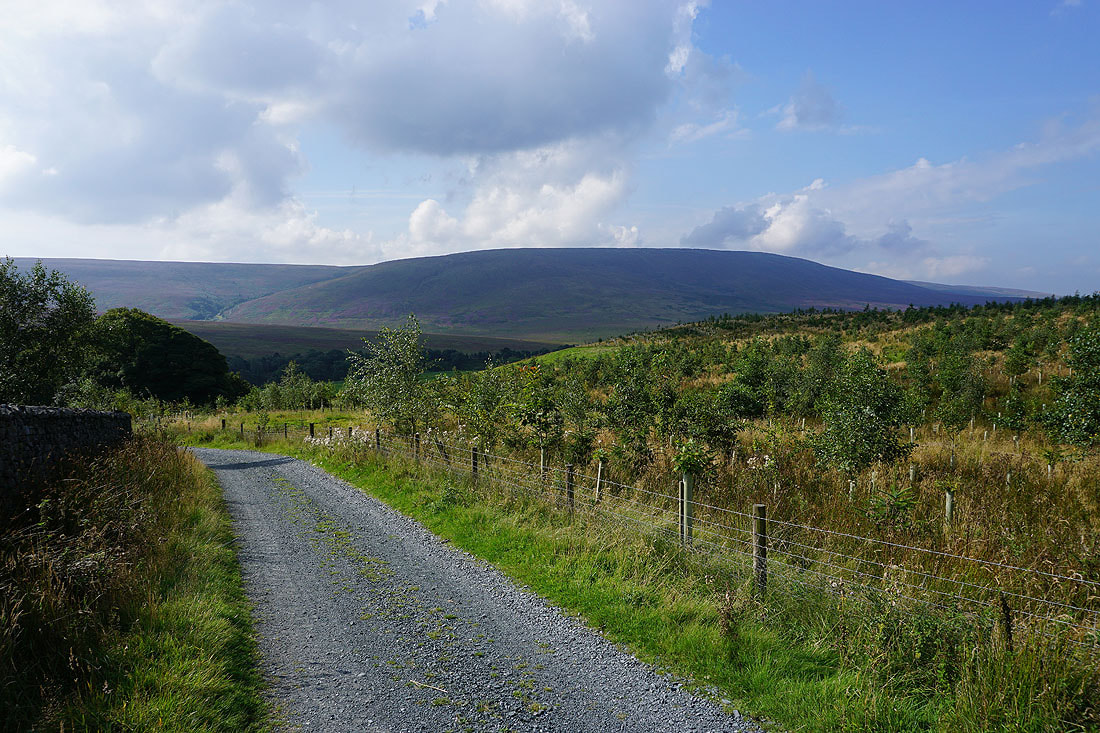
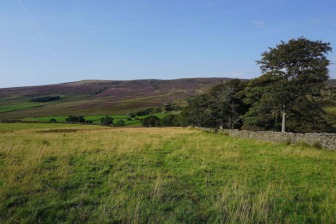
Looking back across the valley of the Marshaw Wyre to Hawthornthwaite Fell
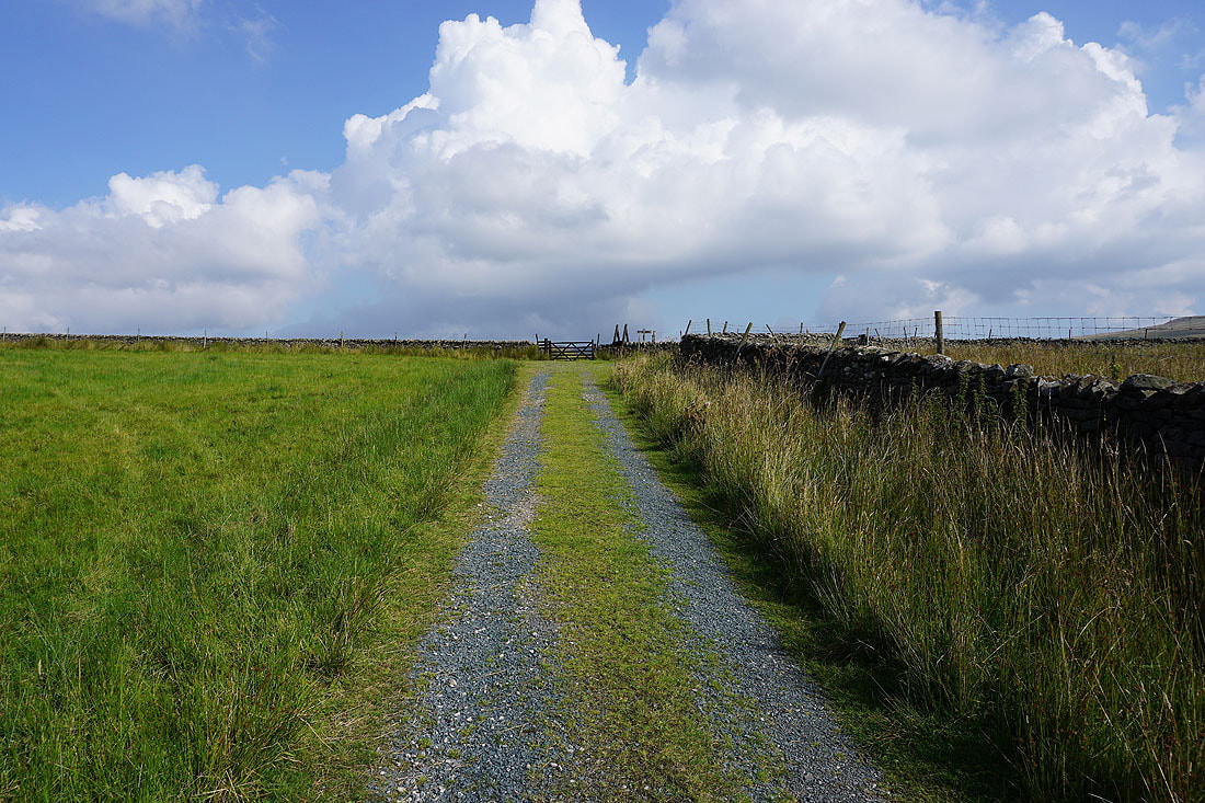
Approaching the top of the track and access land
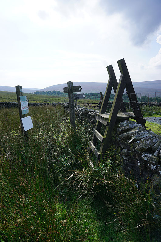
The signpost points the way to Millers House, Tarnbrook and Tower Lodge. I'm heading for Tarnbrook.
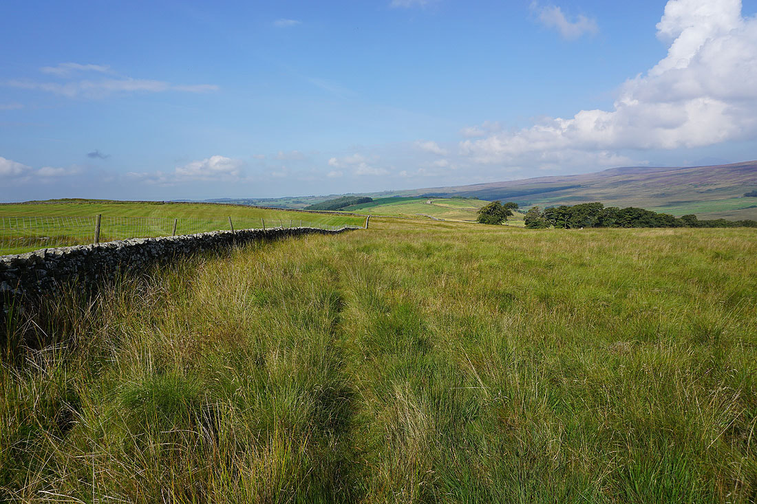
Following the path west across White Moor
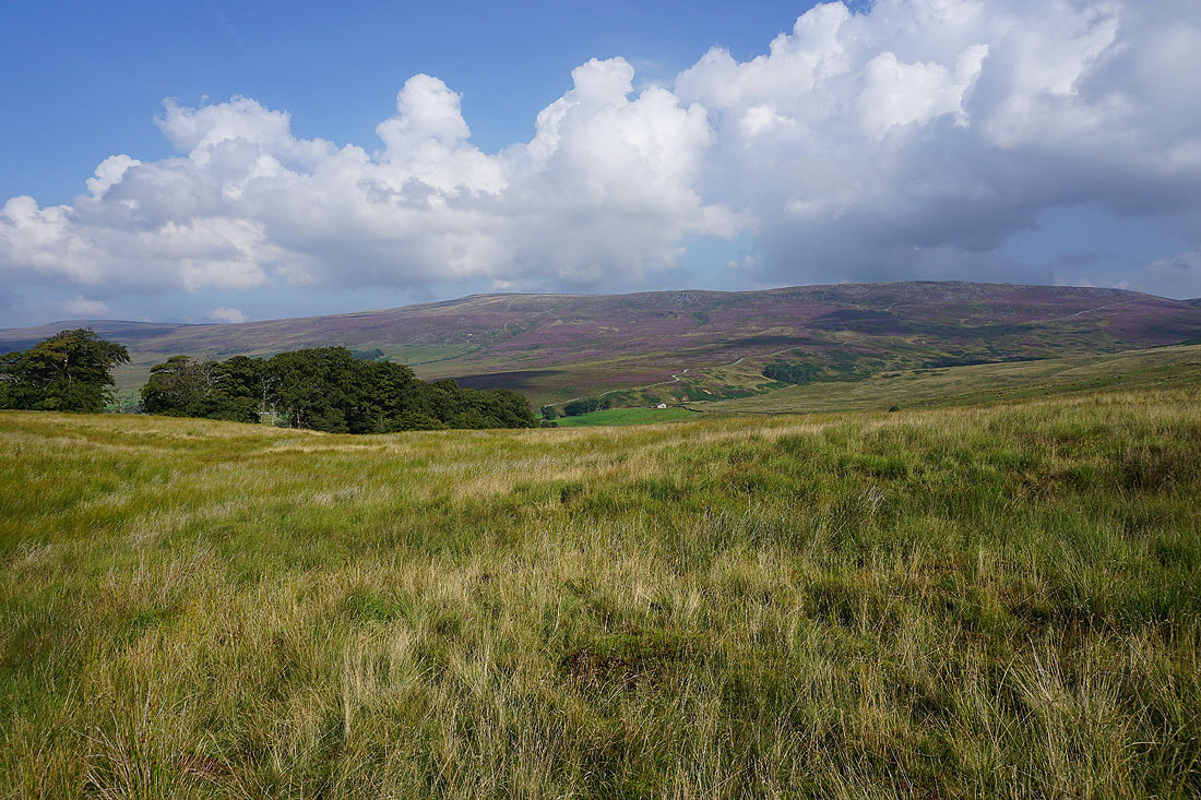
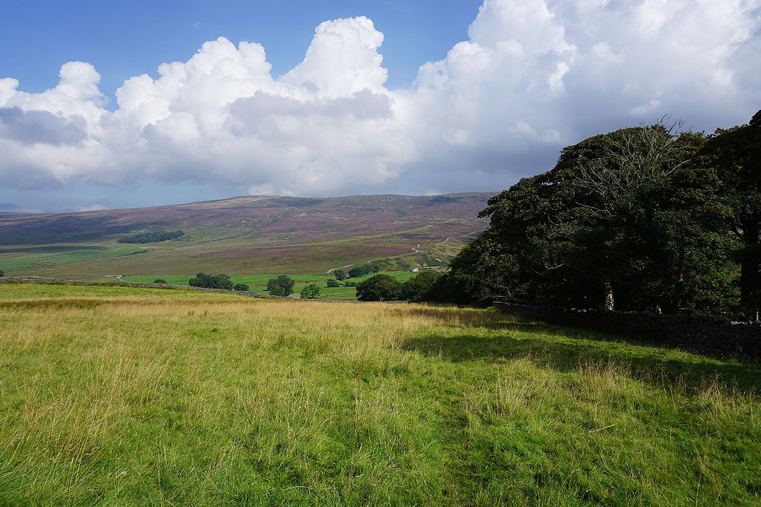
Looking across the valley of the Tarnbrook Wyre to Tarnbrook Fell..
..and to Brennand Great Hill
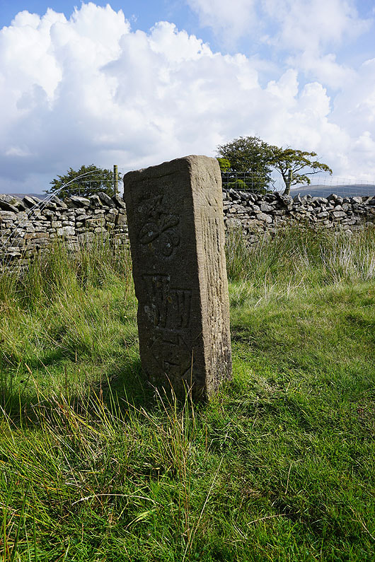
A marker post for the Wyre Way
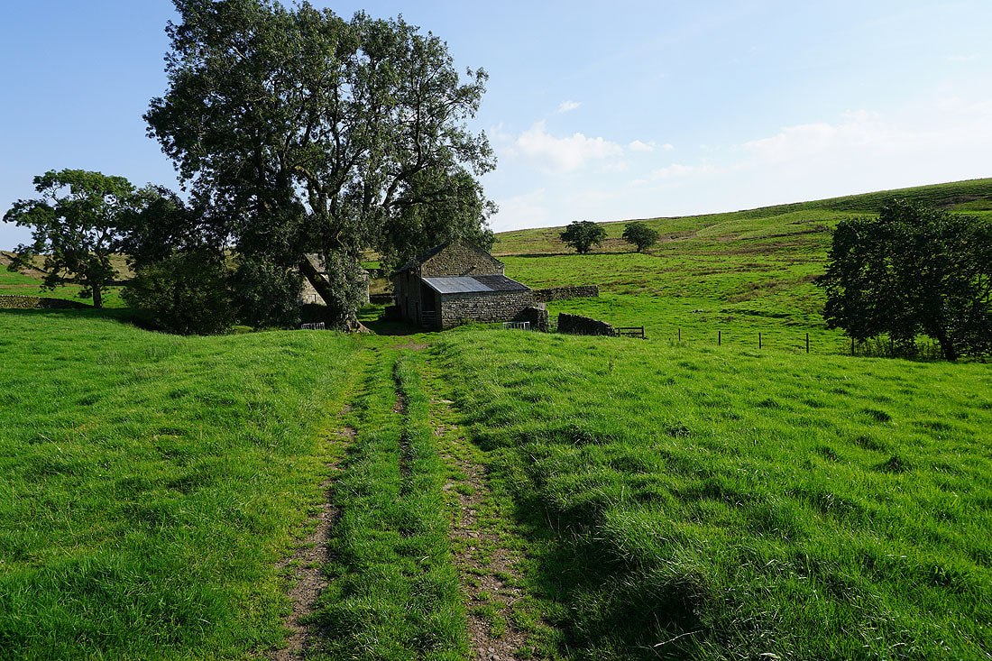
Following the Wyre Way north down to Gilberton Farm..
Crossing the Tarnbrook Wyre
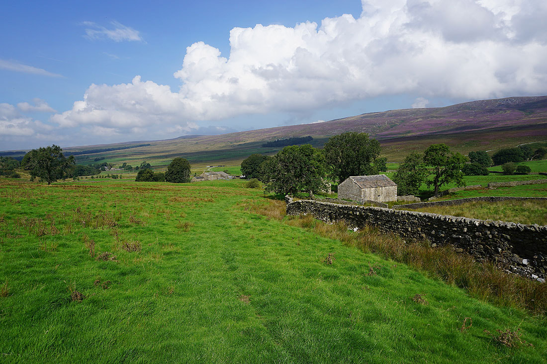
Looking back to Gilberton Farm and to Greenside Hill, which separates the Marshaw and Tarnbrook Wyres, as I walk along the track up Gables Clough
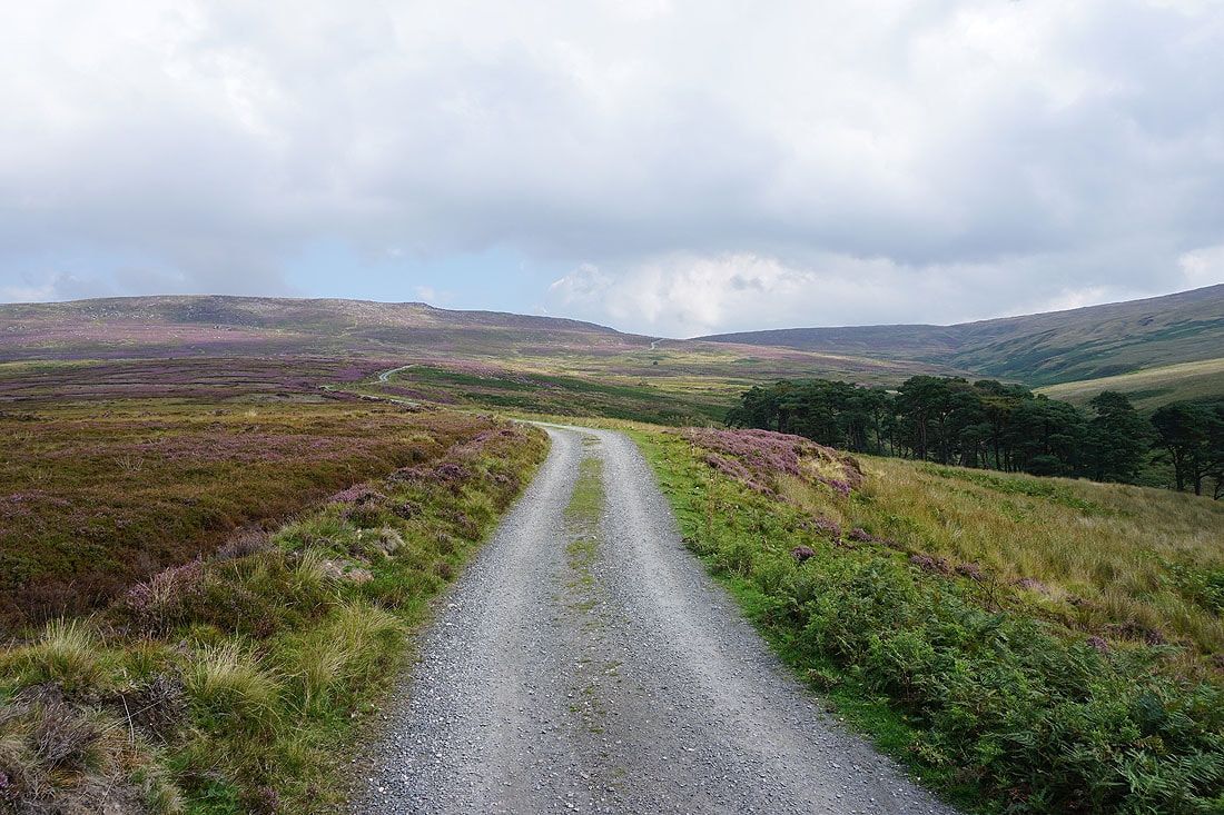
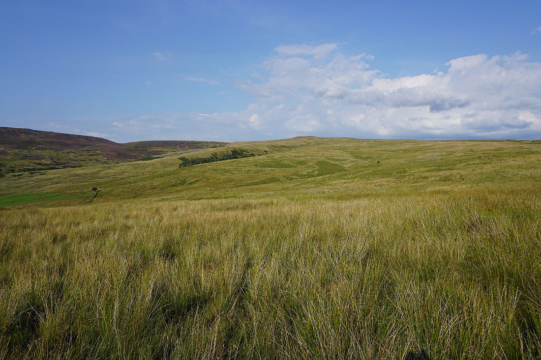
Crossing the slopes of Tarnbrook Fell
Looking back to Hawthornthwaite Fell on the left and to Wyresdale
and across Gavells Clough to Brennand Great Hill
Heading down to and across the Tarnbrook Wyre at the top of Gables Clough
Wolfhole Crag to the east as I finally reach the fence across the top of the track. The build up of cloud during the morning is a bit disappointing.
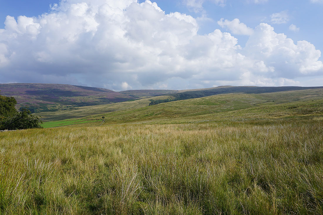
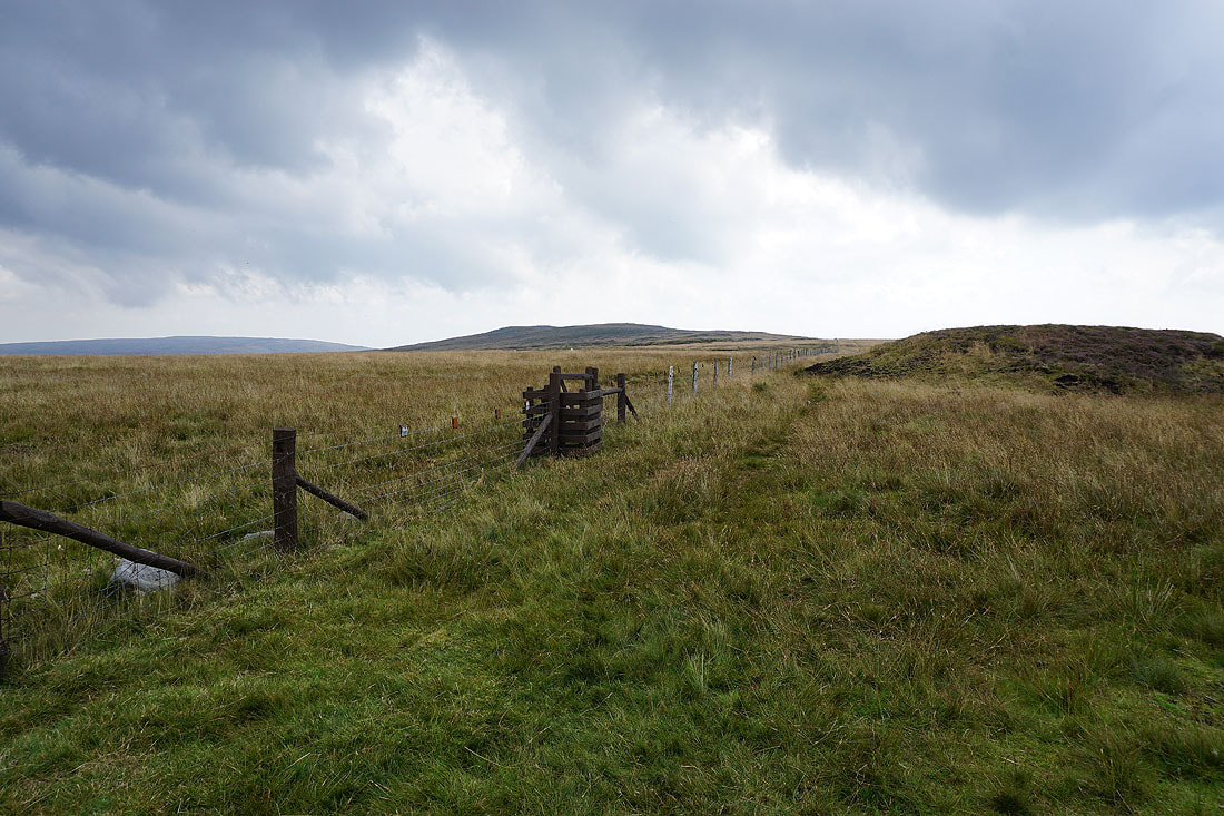
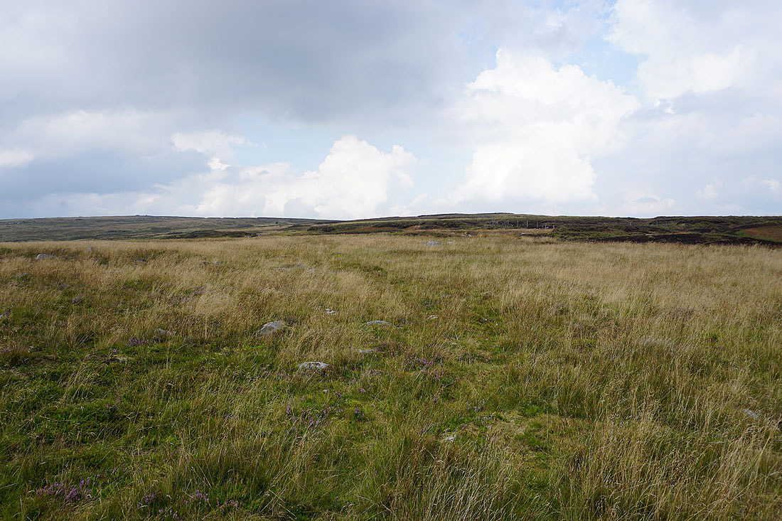
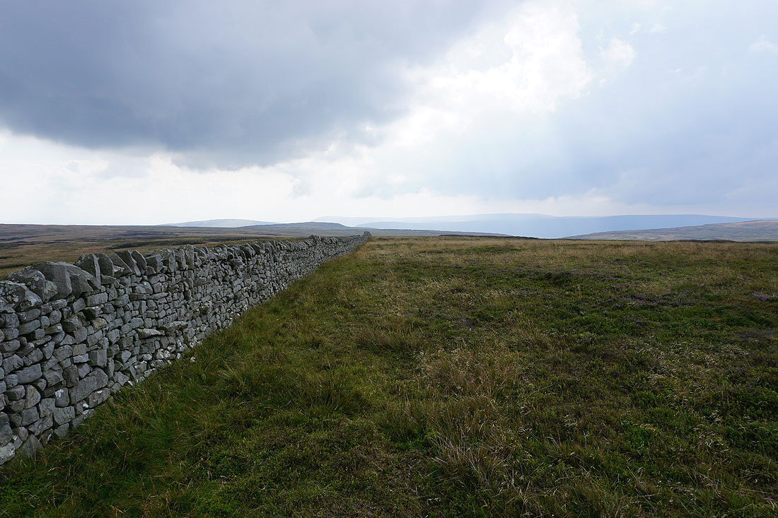
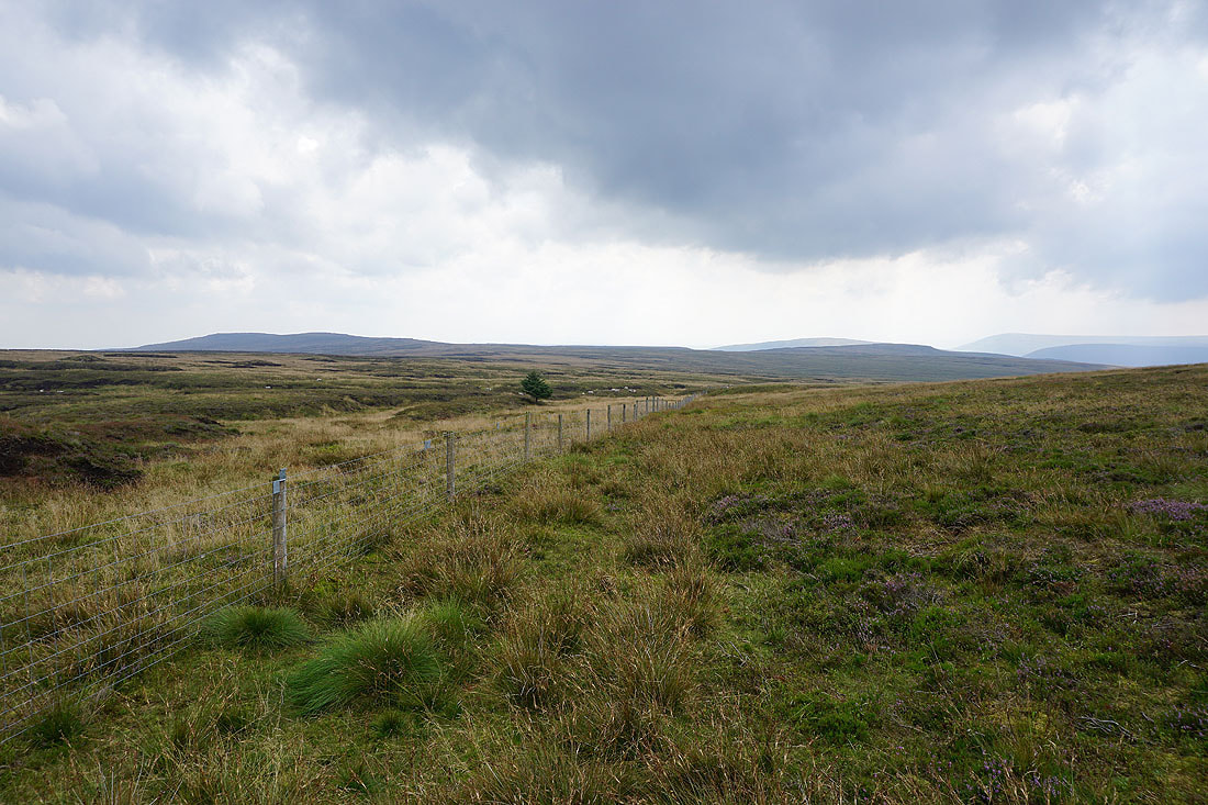
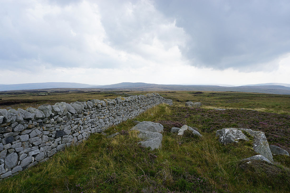
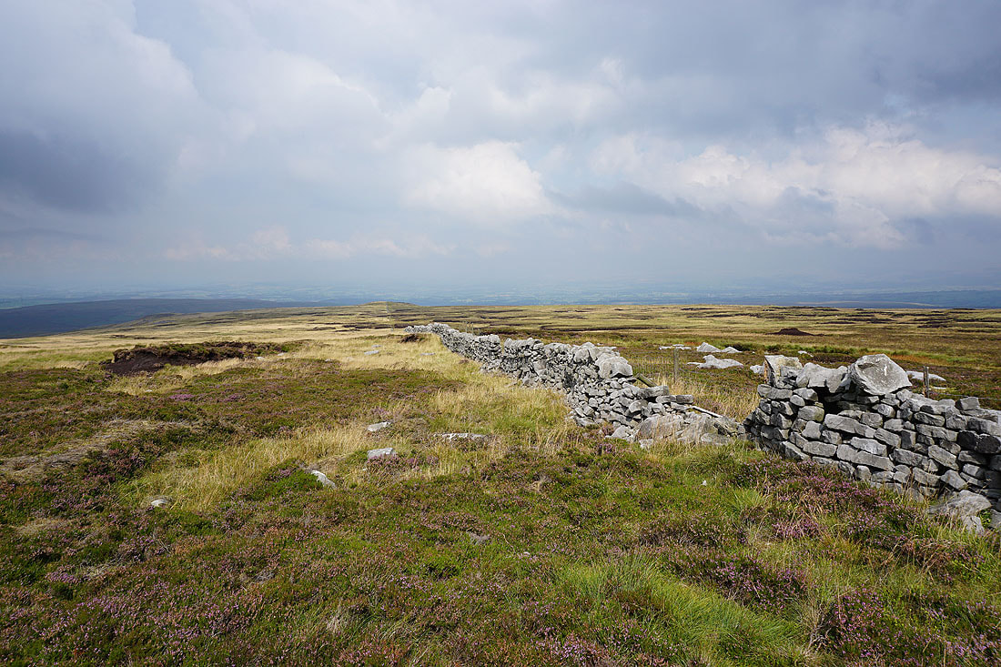
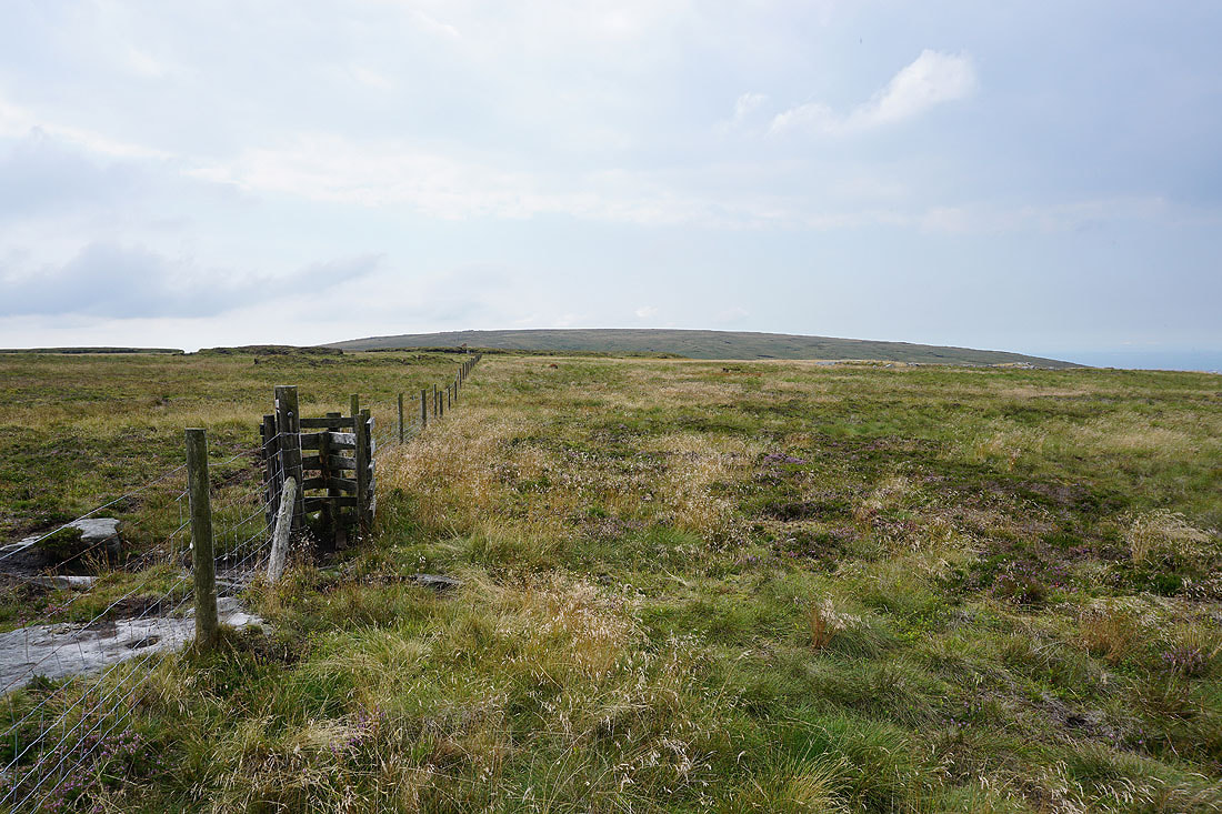
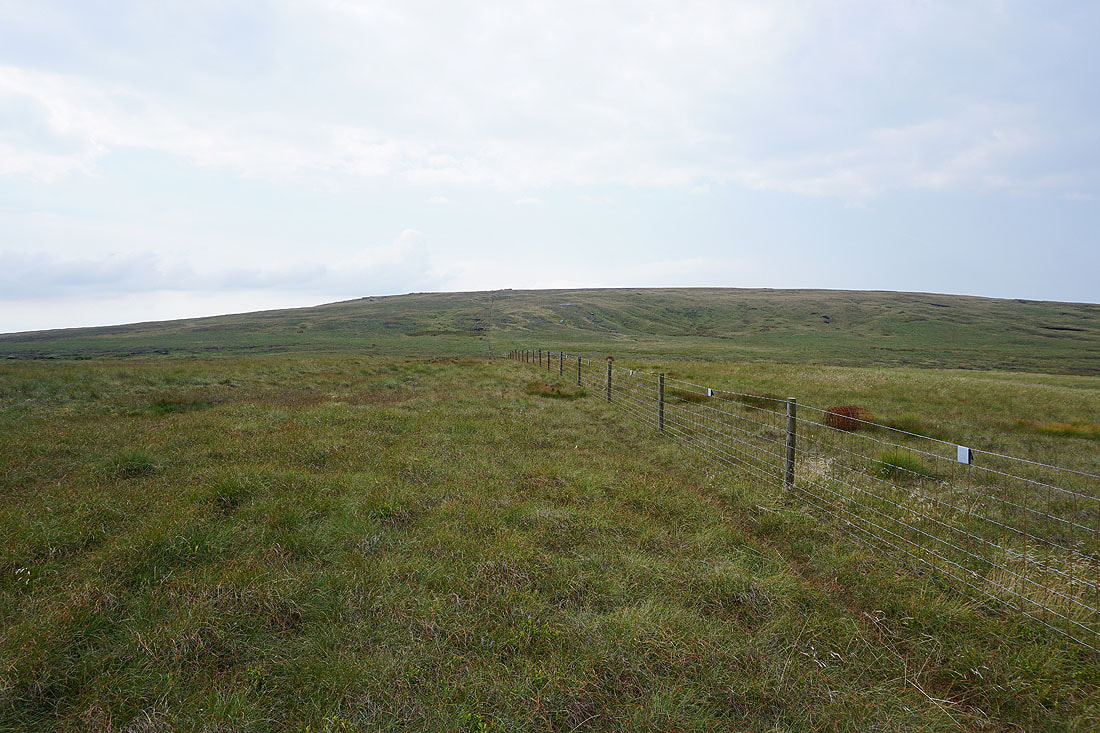
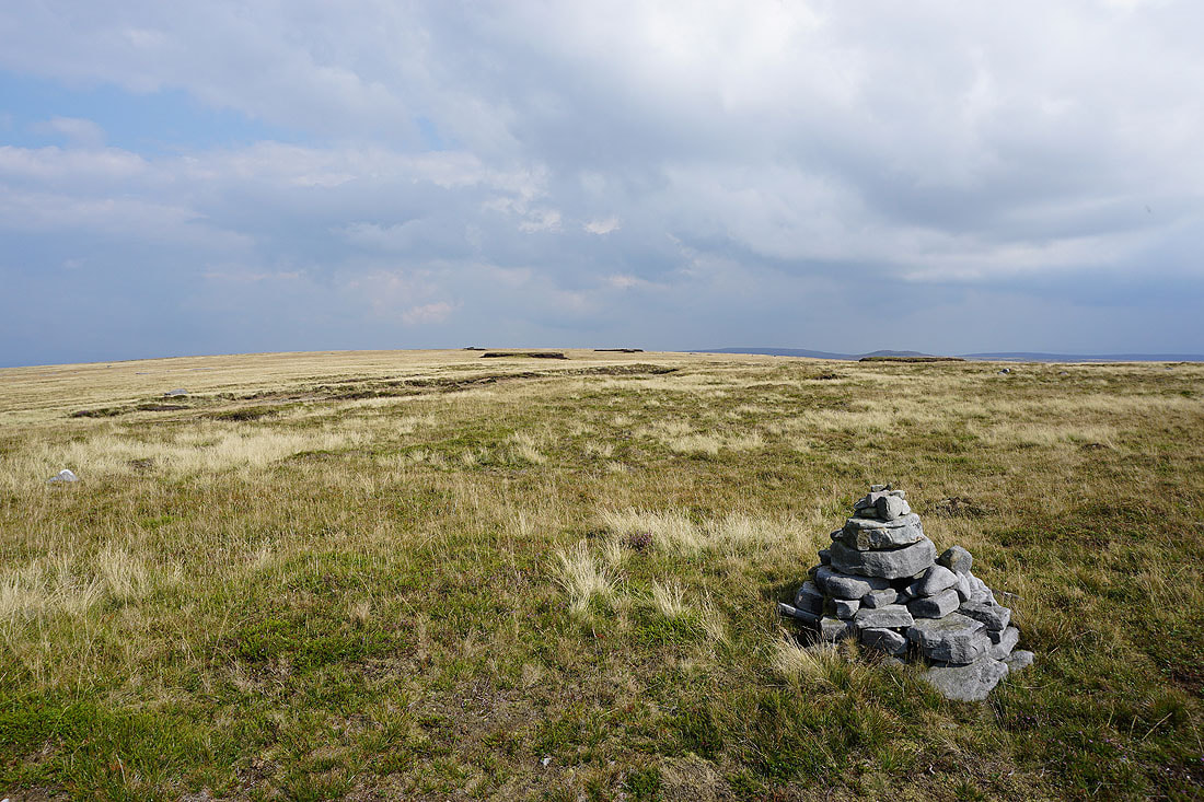
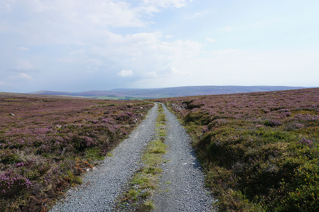
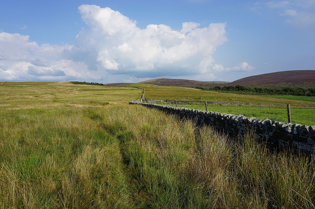
A bit of a dull and featureless moorland trudge to come as I follow the fence, then wall, west towards Ward's Stone
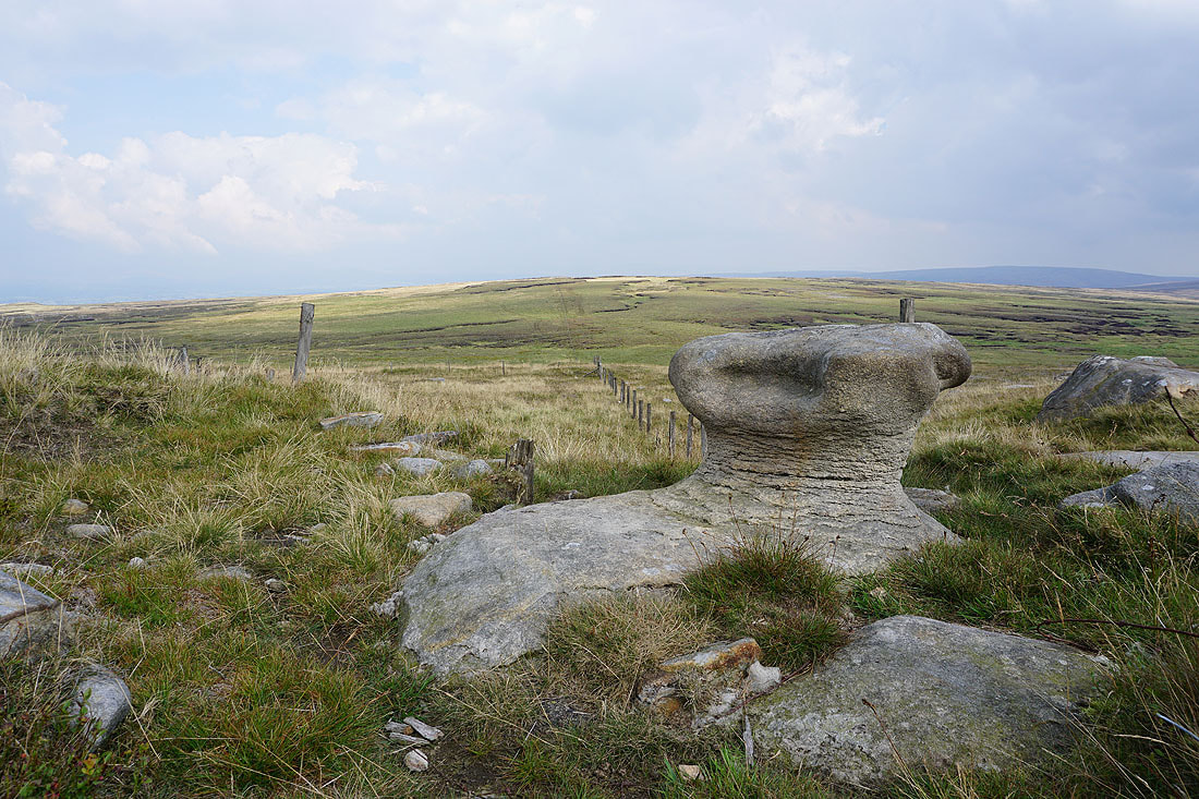
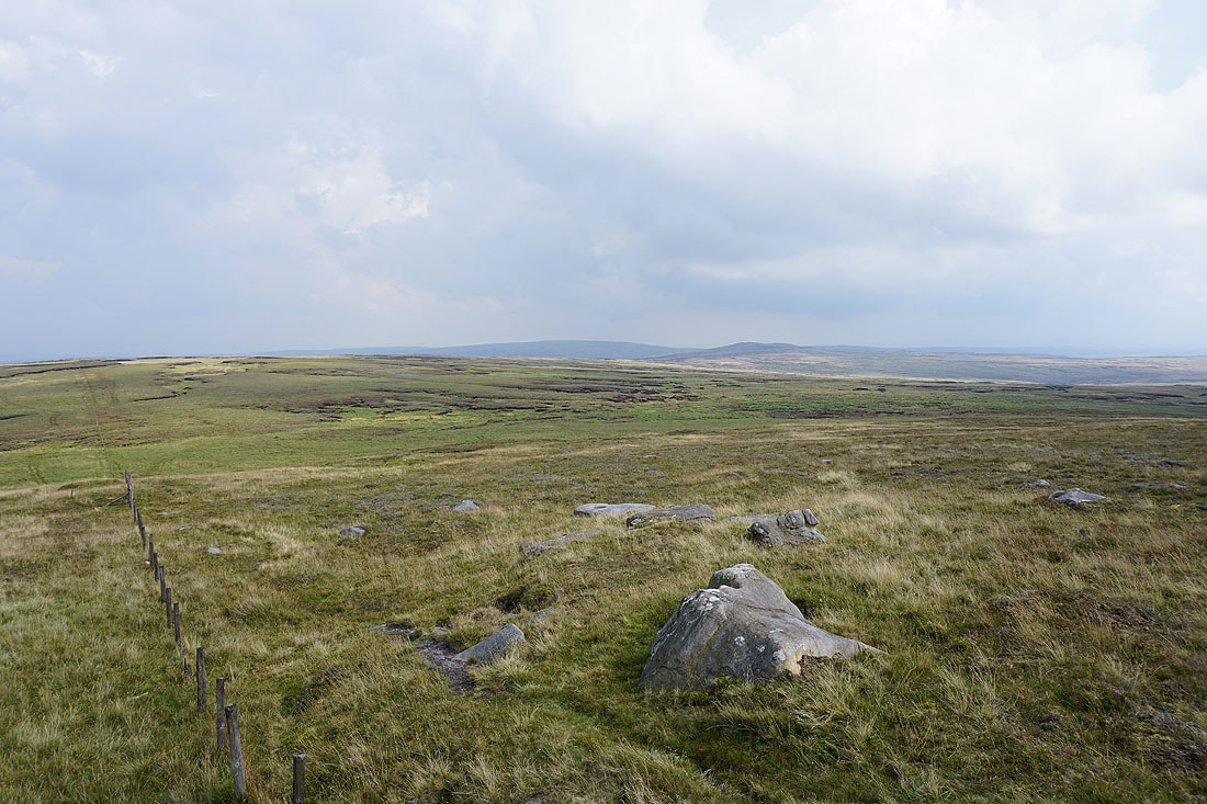
Looking back with Whins Brow, Brennand Great Hill, Totridge, Fair Snape Fell and Hawthornthwaite Fell in the distance
and to Wolfhole Crag and Brennand Great Hill
White Hill and Wolfhole Crag from Grey Crag
At the moorland top to the south of High Stephen's Head. I stopped for lunch here, and while I was having it the weather started to change. A breeze picked up from the west and it looked like brighter skies might be heading this way.
The bulk of Ward's Stone rises to the west
Heading for the eastern summit of Ward's Stone
At the gritstone outcrop of Queen's Chair at the eastern end of Ward's Stone
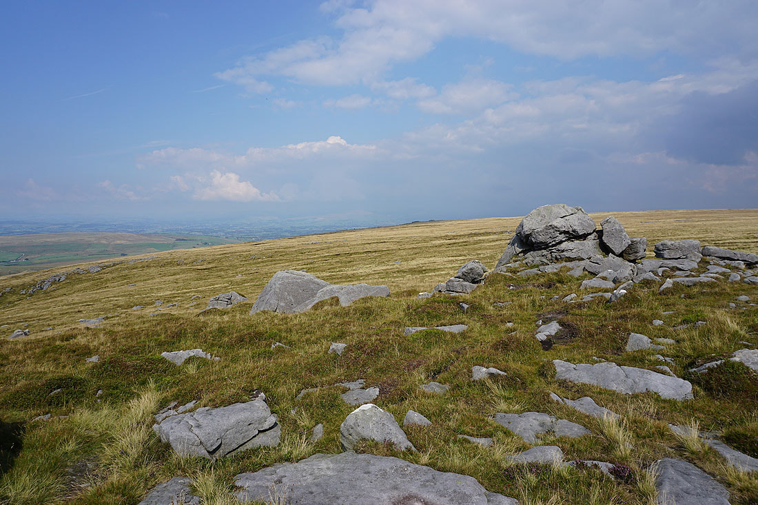
Looking east to White Hill and Wolfhole Crag
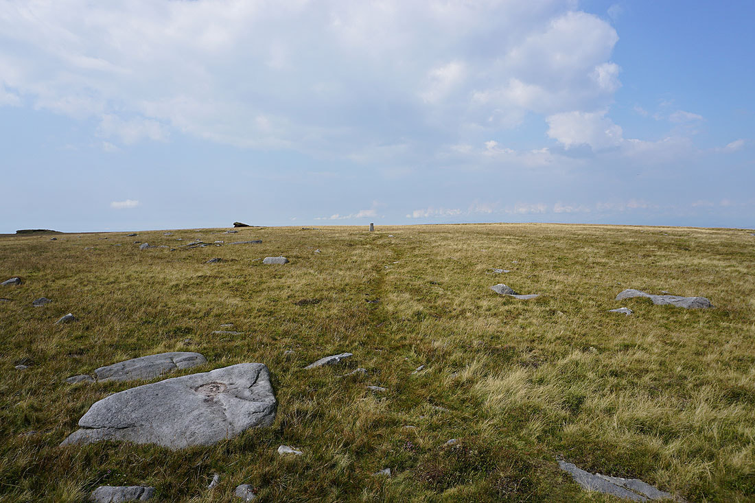
The eastern trig point is just a short distance away as I reach the gritstone boulders of Grey Mare and Foal
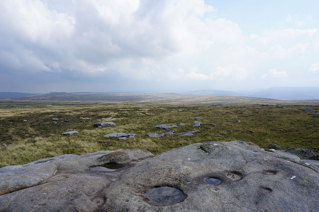
The view to Wolfhole Crag, Brennand Great Hill and Whins Brow is a bit murky
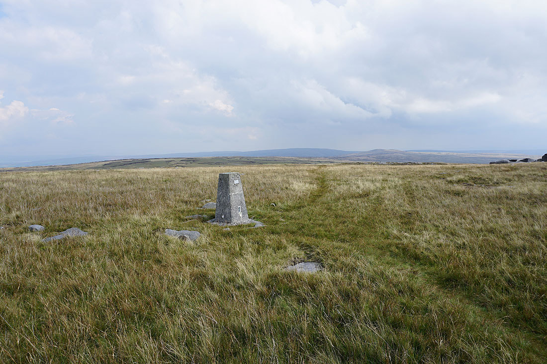
White Hill and Wolfhole Crag from the eastern trig point
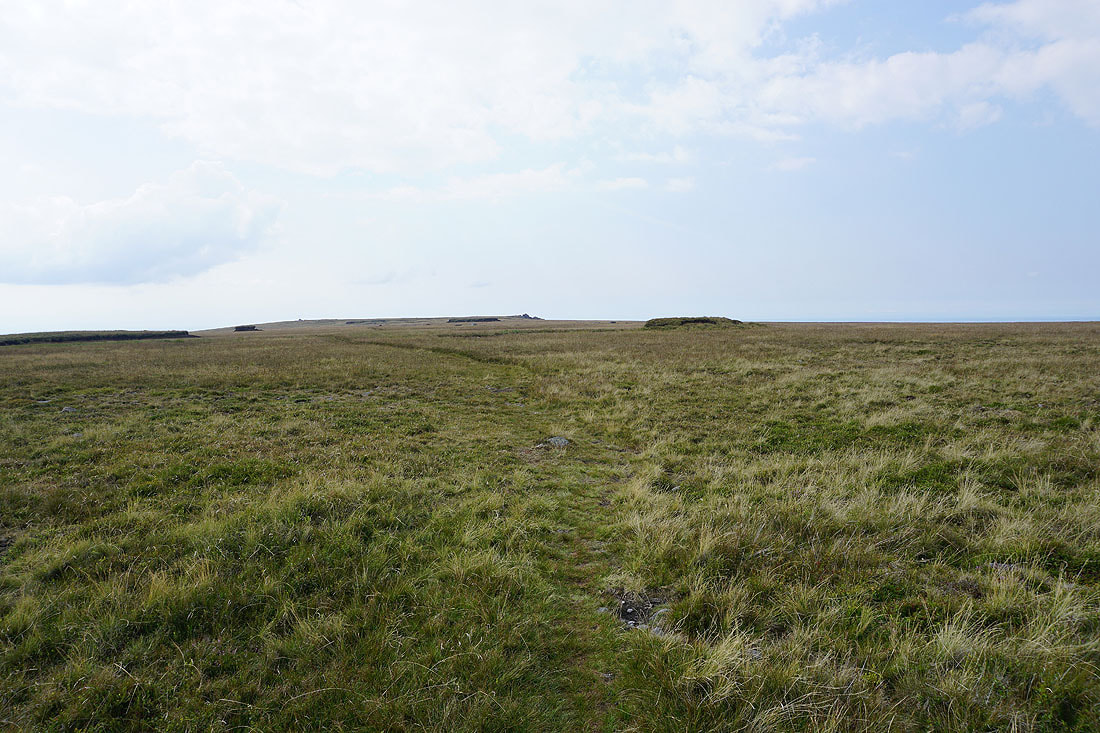
Heading west across the summit plateau
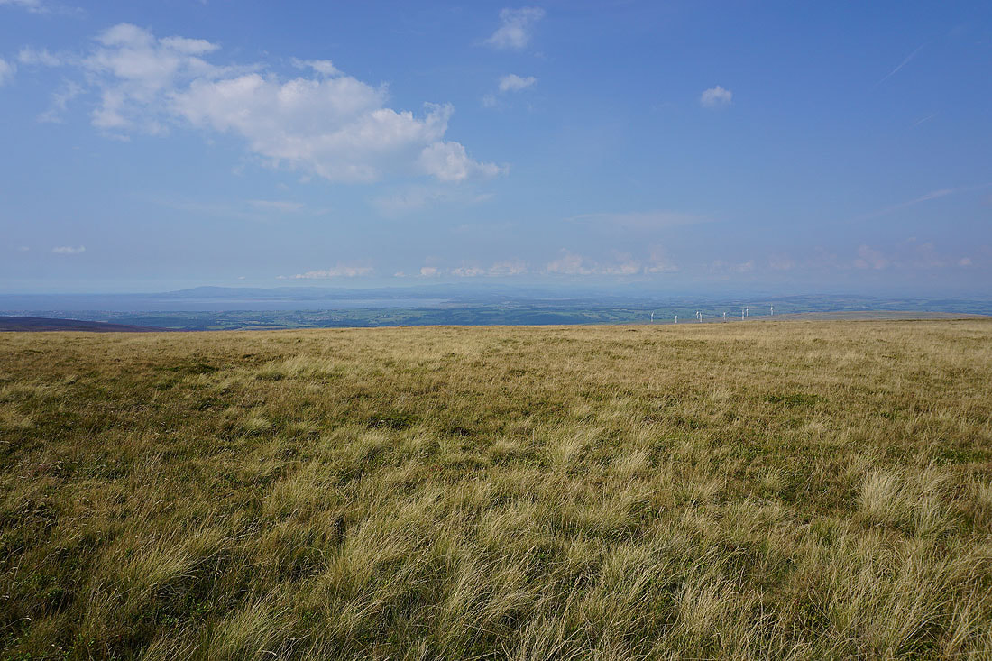
It isn't long before I get my first opportunity to see the view across Morecambe Bay to the Lake District
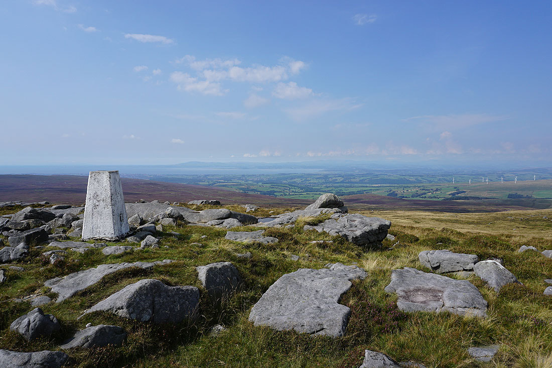
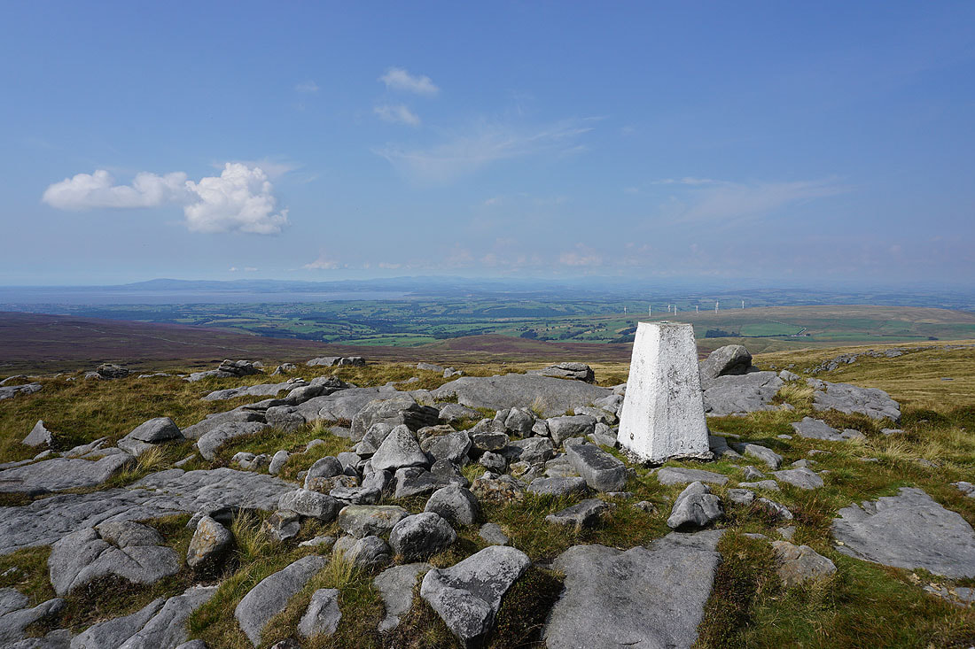
At the western trig point on Ward's Stone and the view across Morecambe Bay to the Lake District doesn't disappoint..
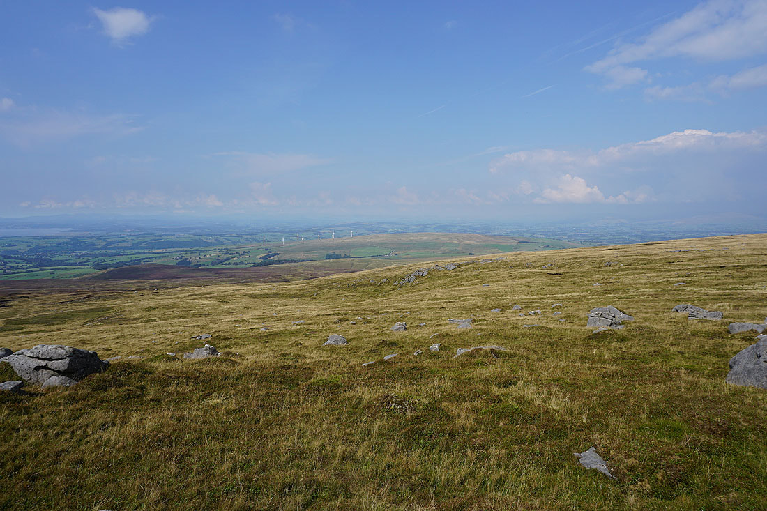
The contrast between the sunshine and excellent visibility here, and the cloudier and hazy weather further inland is quite marked. As can be seen when I turn to the right and look towards the Yorkshire Dales..
The broad summit plateau of Ward's Stone
The Lune estuary and Grit Fell to the west
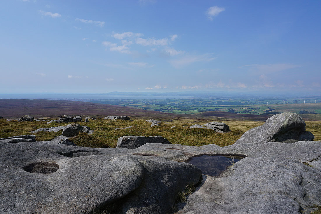
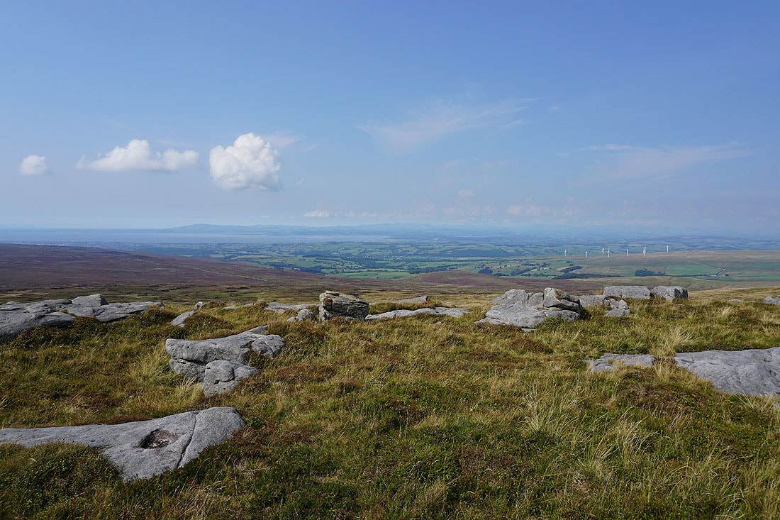
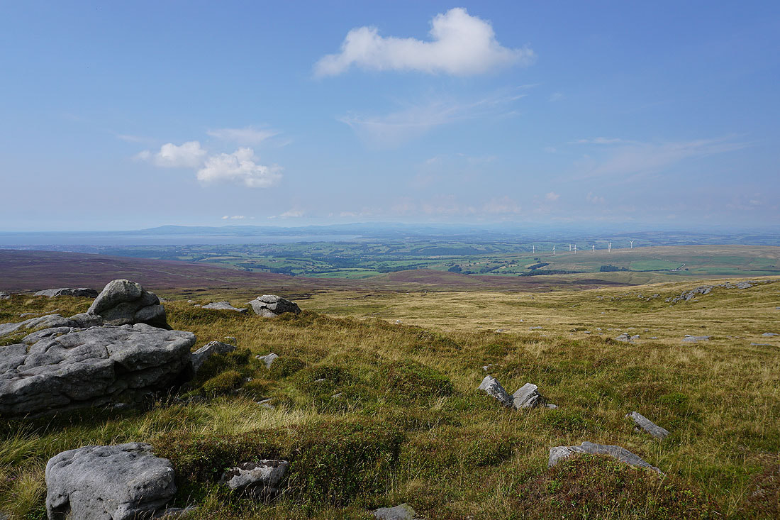
A few more photos of the view across Morecambe Bay before I regretfully have to move on...
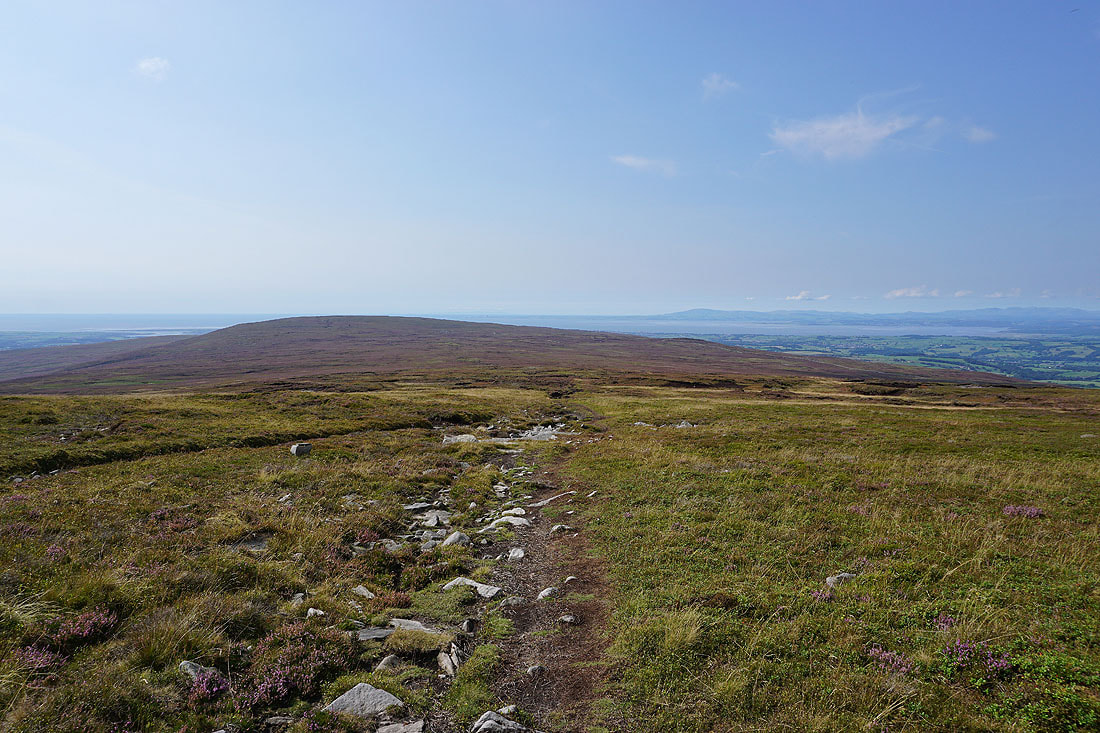
Heading towards Grit Fell as I leave Ward's Stone
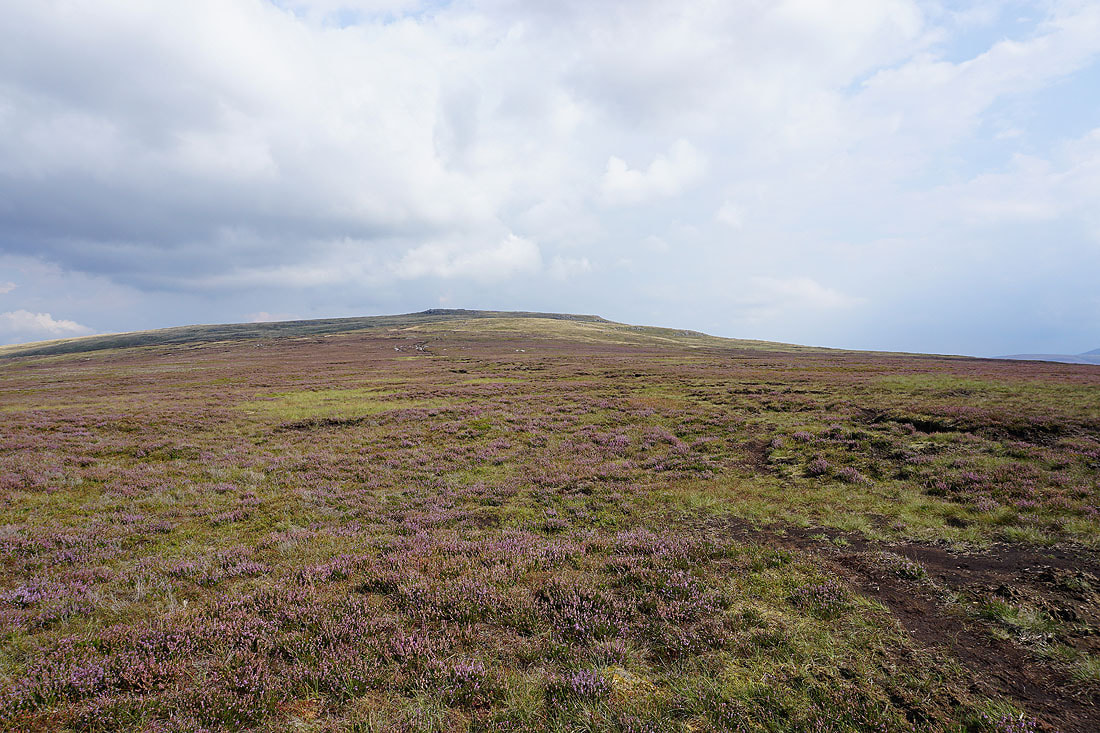
Looking back up to Ward's Stone
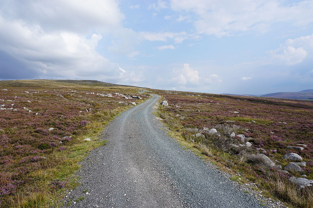
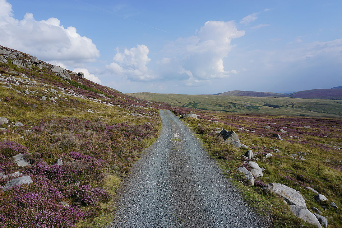
Joining the track that crosses the moor between Grit Fell and Ward's Stone I follow it south towards Wyresdale..
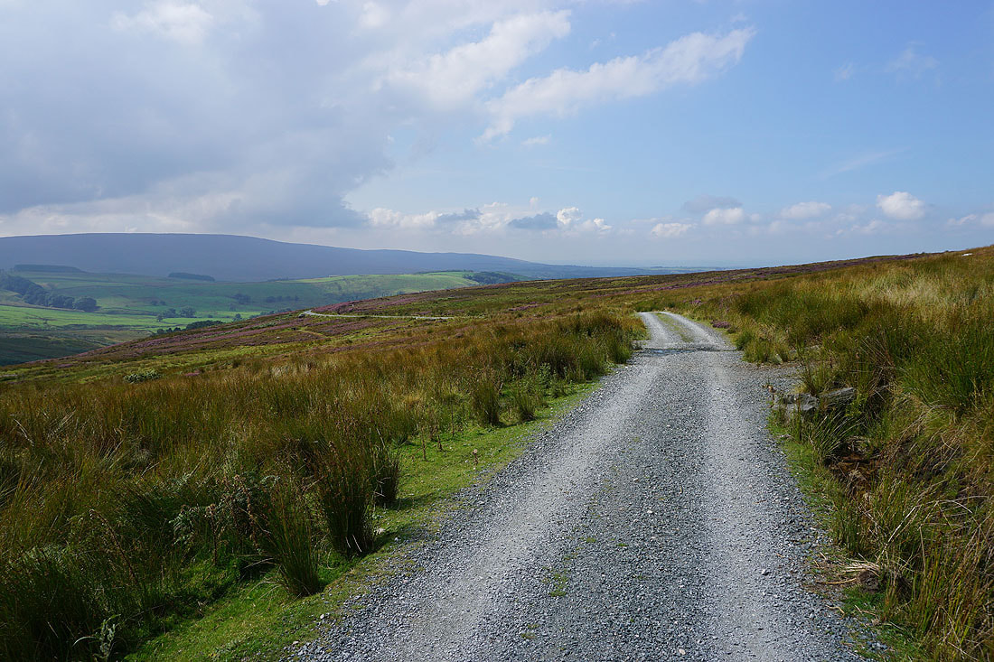
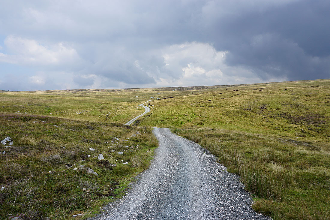
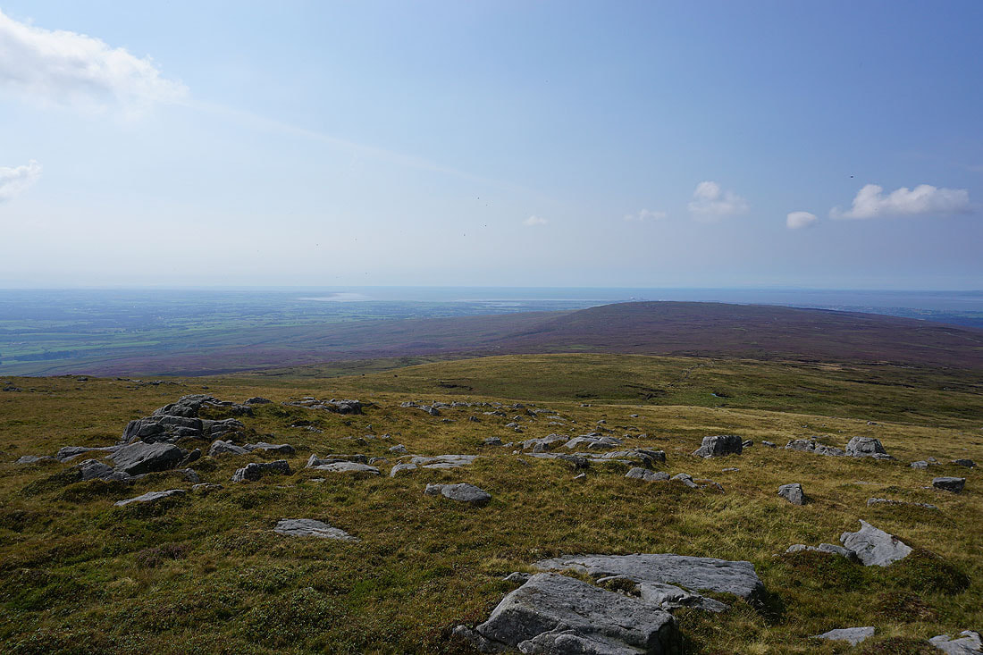
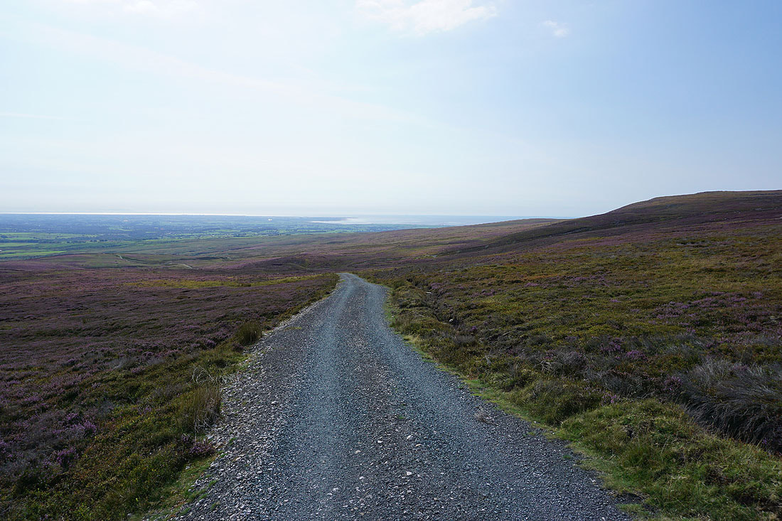
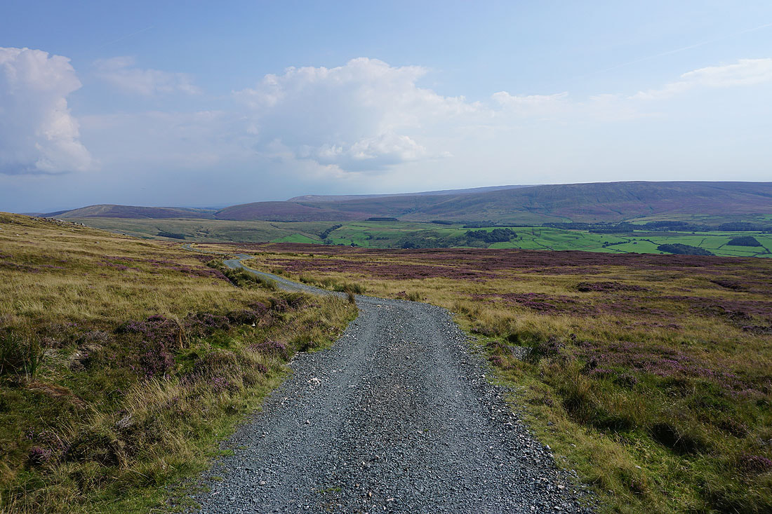
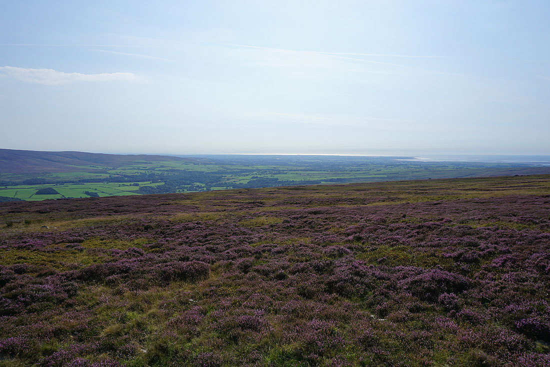
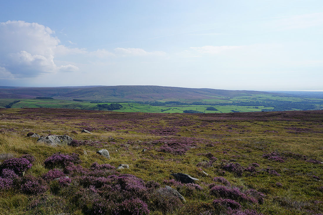
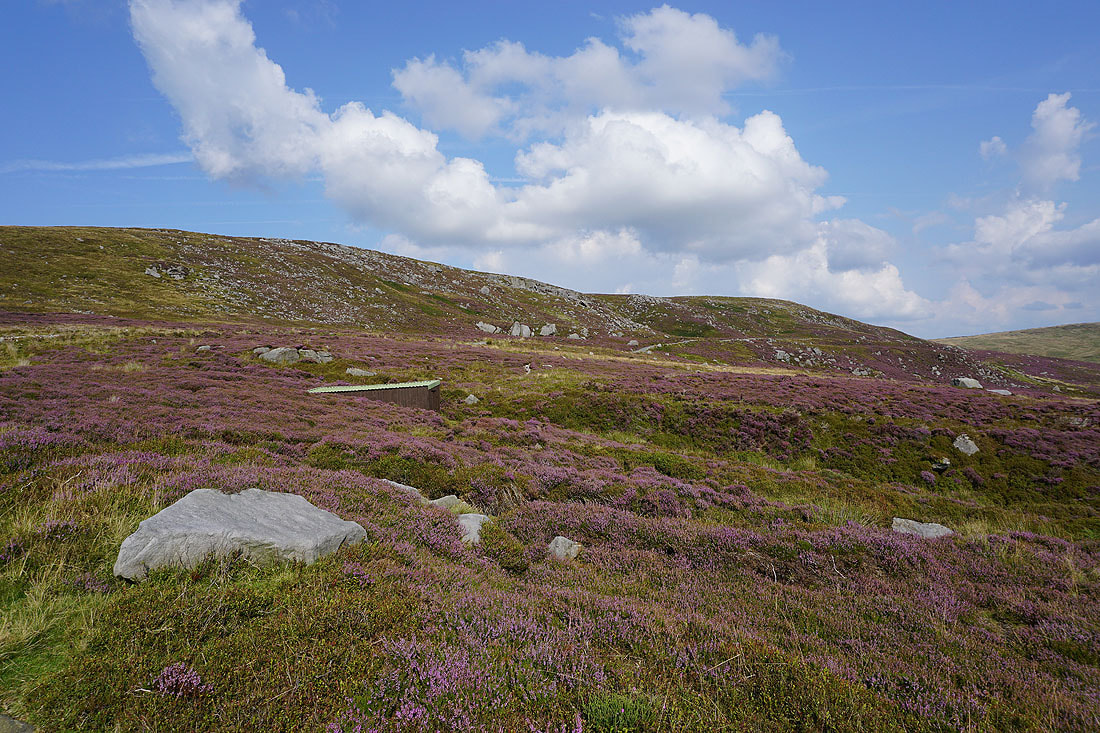
I leave that track and take another one east across the slopes of Dunkenshaw Fell. There are great views across Wyresdale to Hawthornthwaite Fell and out to the Fylde coast to enjoy.....
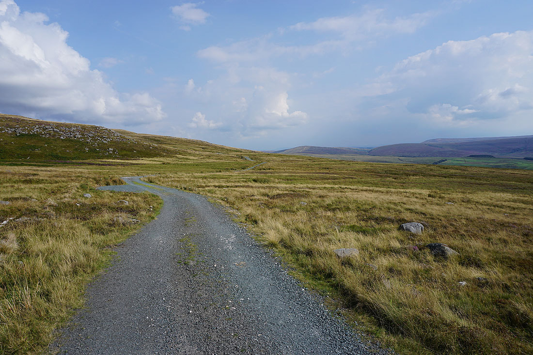
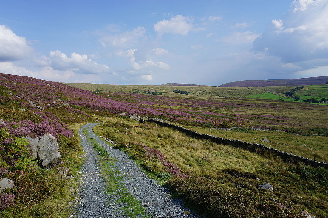
I reach the top of the track down Tarnsyke Clough, where it splits and one branch continues east across the slopes of Tarnbrook Fell..
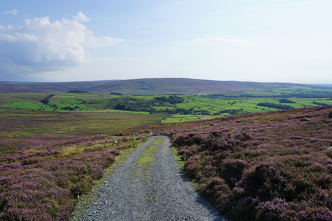
A great view across Wyresdale to Hawthornthwaite Fell as I follow the track down towards Tarnbrook..
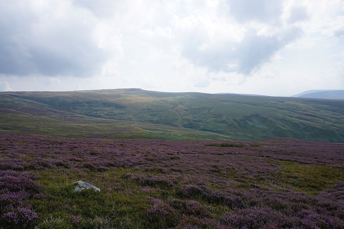
Looking back up to the heather clad slopes of Dunkenshaw Fell and Tarnbrook Fell
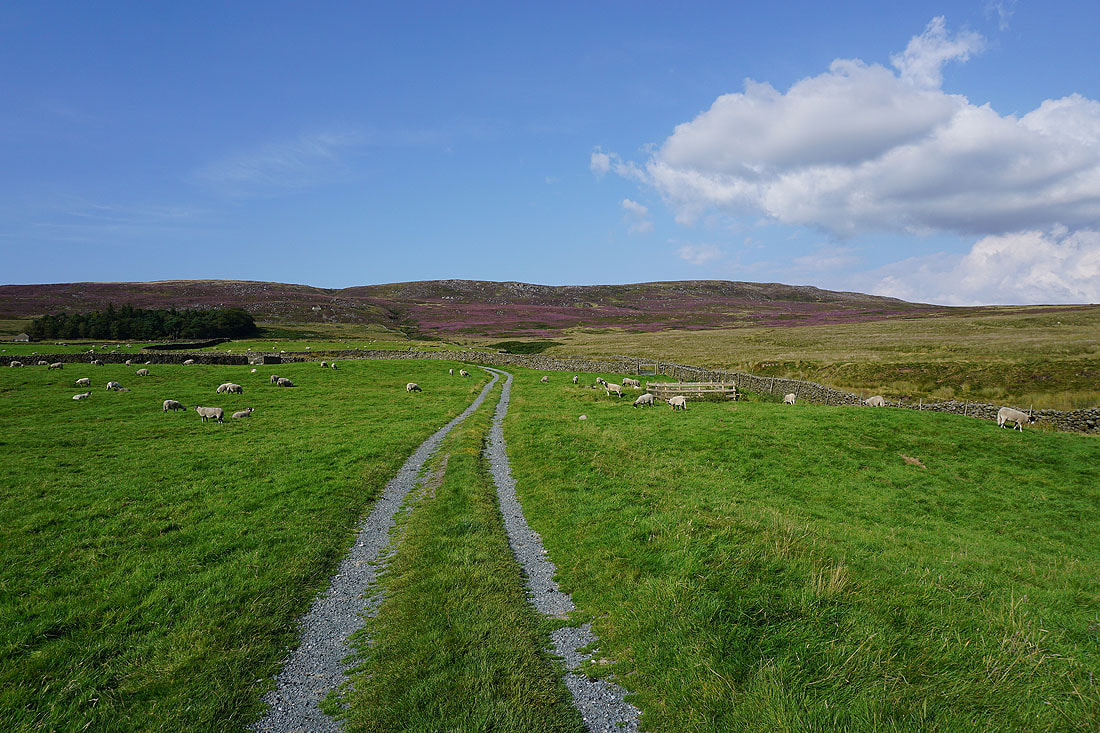
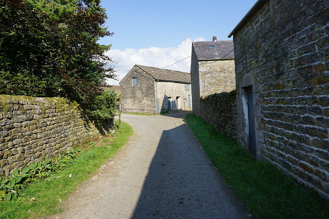
Making my way through the hamlet of Tarnbrook
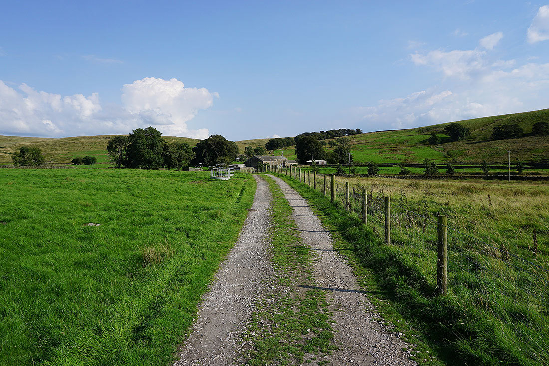
On the Wyre Way past Gilberton Farm..
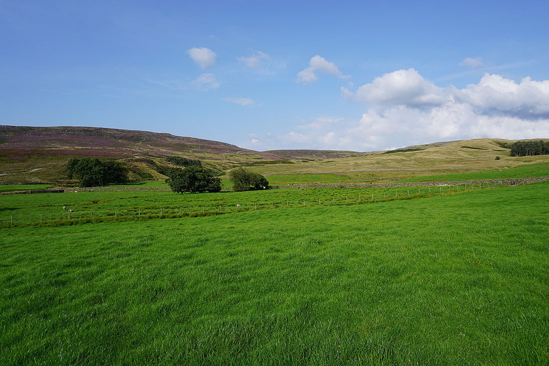
Looking across to Tarnbrook Fell
and back to Dunkenshaw Fell. I can see the track that I walked along down to Tarnbrook.
Brennand Great Hill..
..as I follow the path east across White Moor
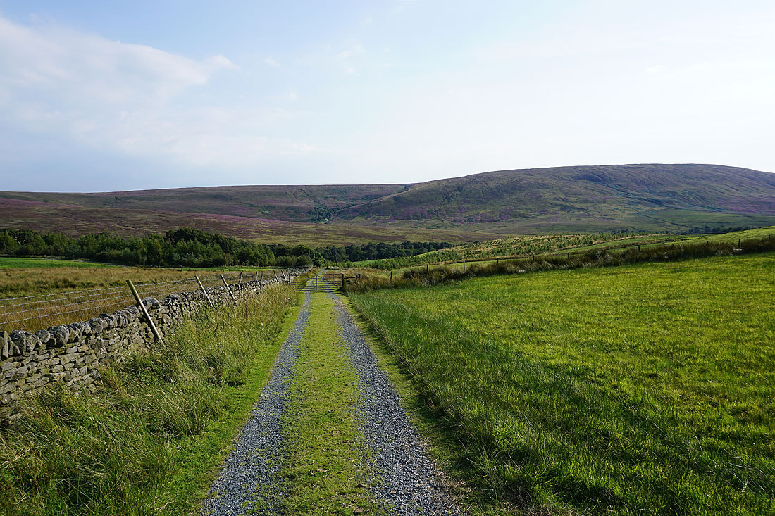
Looking across the valley of the Marshaw Wyre to Hawthornthwaite Fell as I walk down the track to Tower Lodge
Back at Tower Lodge
