27th December 2012 - Bull Hill & Holcombe Moor
Walk Details
Distance walked: 4.6 miles
Total ascent: 735 ft
OS map used: 287 - West Pennine Moors
Time taken: 2 hrs
Route description: Layby on B6214 at Buckden Wood-Chatterton Close-Peel Tower-Harcles Hill-Bull Hill-Layby on B6214 at Buckden Wood
A dry afternoon and with the forecast for the next few days so poor, I had to get out and stretch my legs for a couple of hours.
Route map
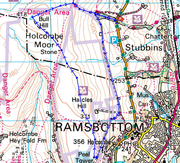
© Crown copyright. All rights reserved. License number PU 100034184.
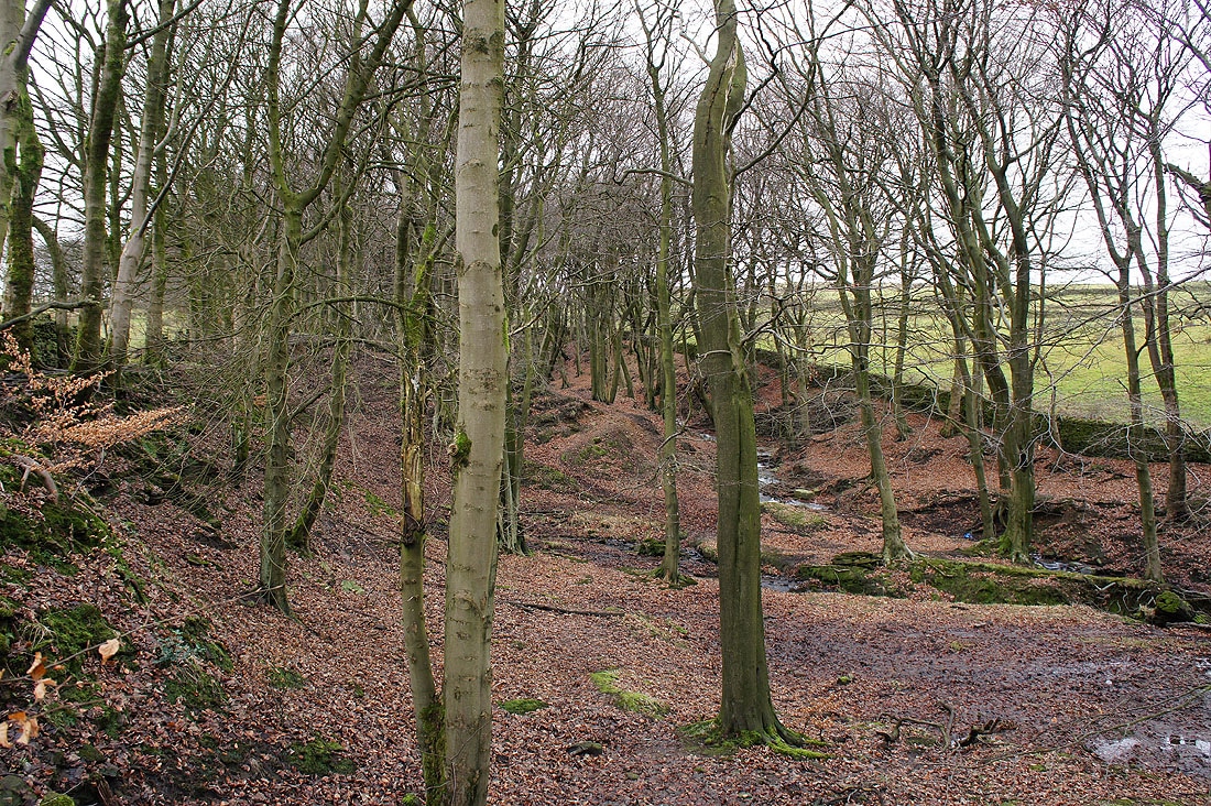
Entering Buckden Wood at the start of the walk
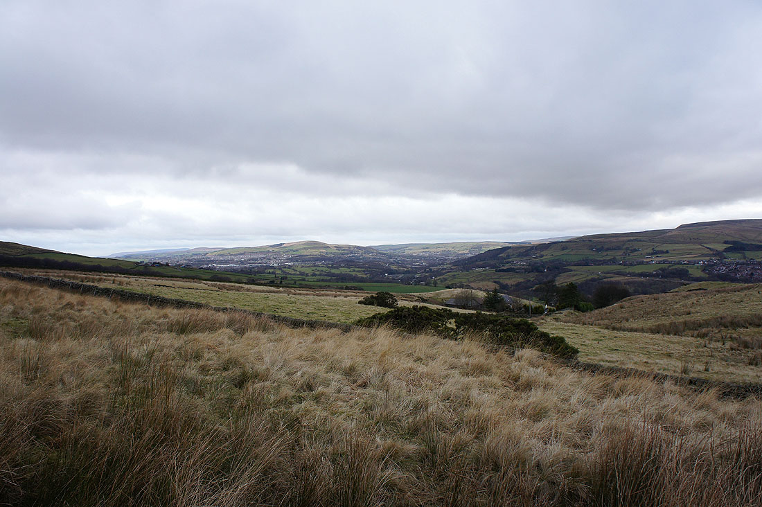
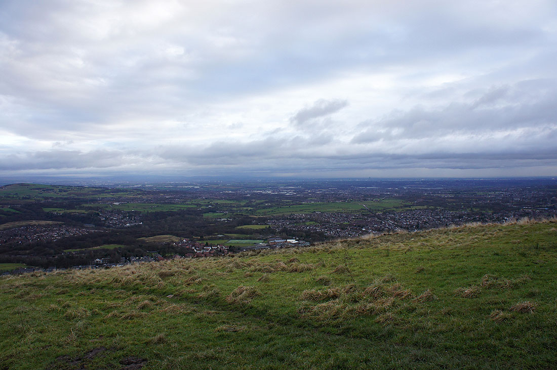
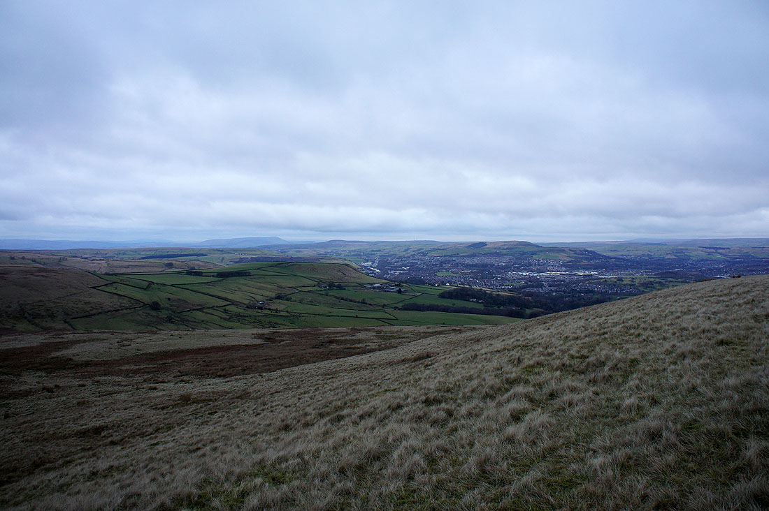
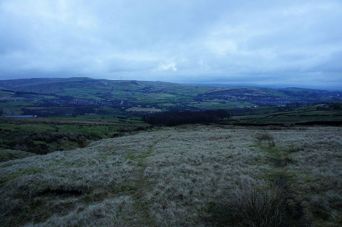
Rossendale as I head along the bridleway to Peel Tower
The Saddleworth Moors and Peak District hills in the far distance..
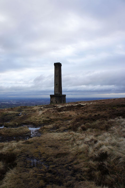
Looking back to Peel Tower as I head up Harcles Hill
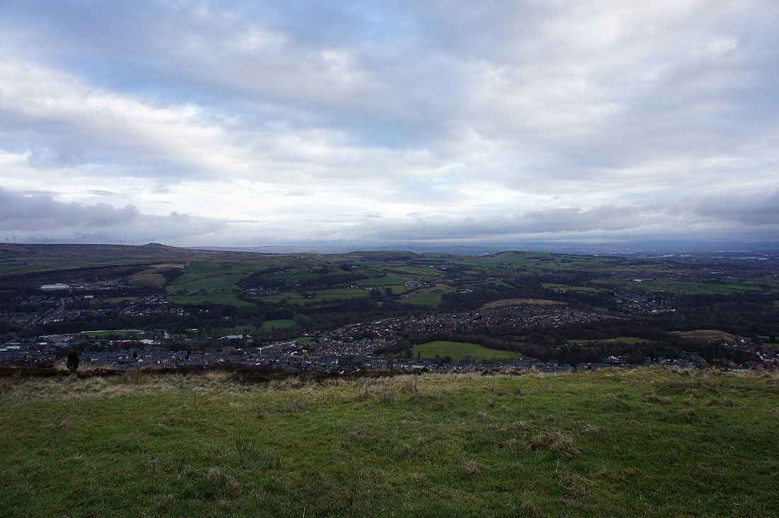
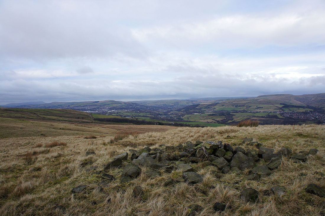
The hills around Rossendale from Harcles Hill
and Winter Hill
Rossendale
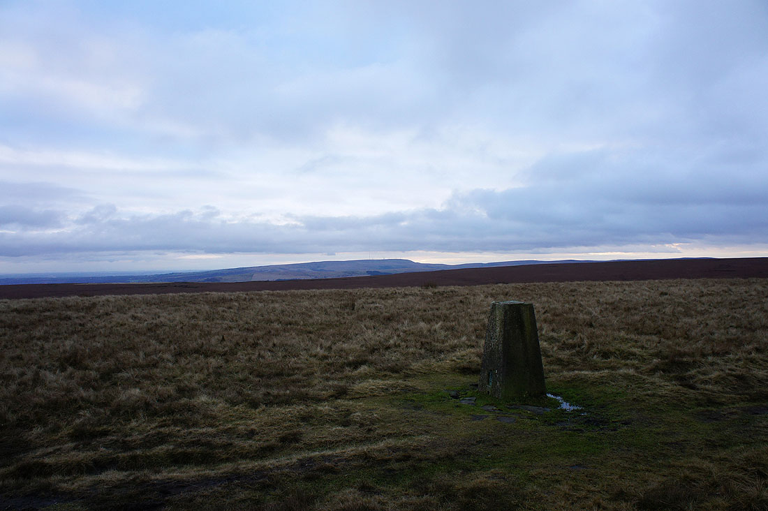
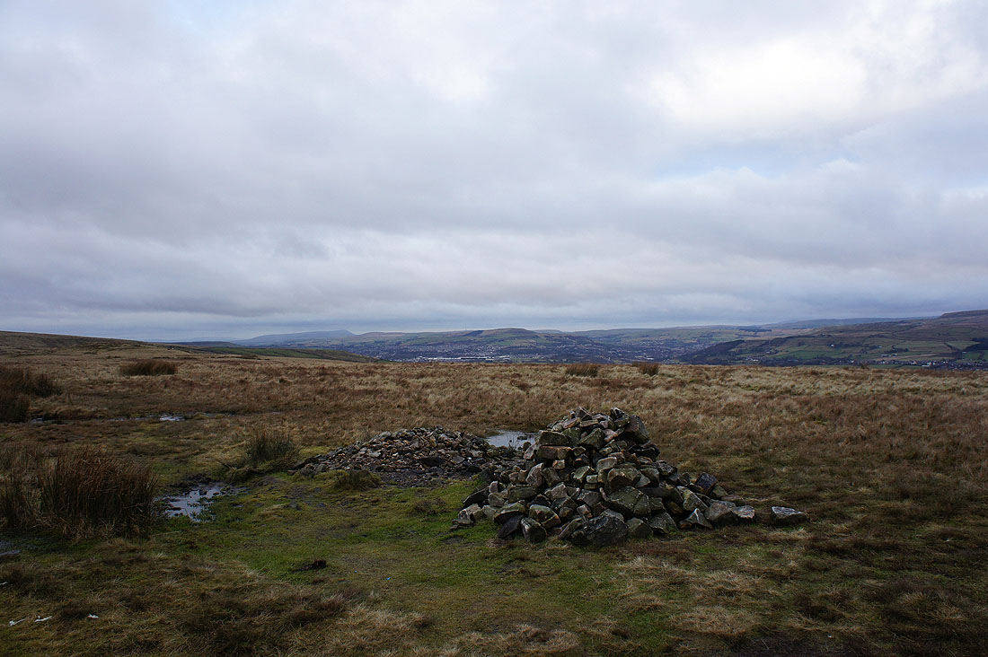
Winter Hill from the trig point on the summit of Bull Hill
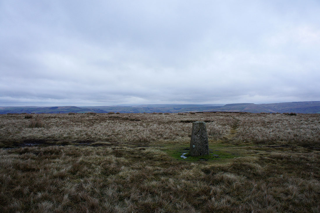
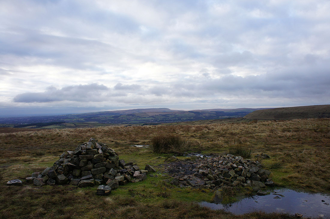
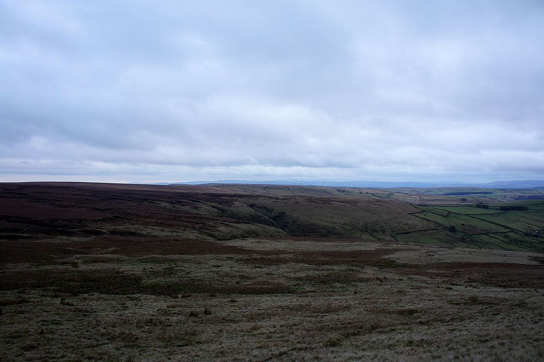
The hills around Rossendale
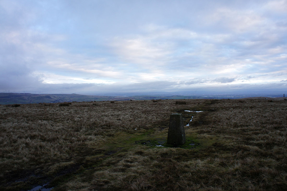
and looking towards the hills of the Peak District
A distant Pendle Hill and Haslingden below Cribden Hill
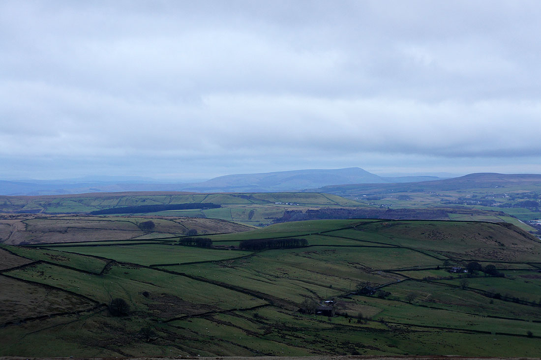
Pendle Hill
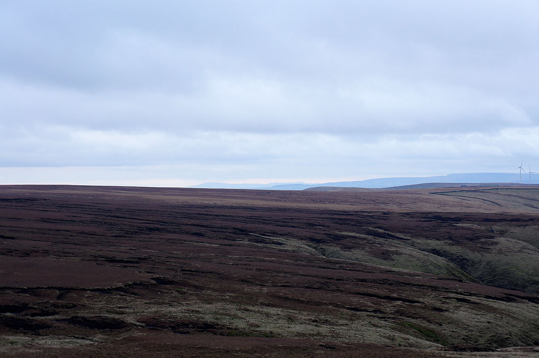
Looking across the West Pennine Moors to the hills of the Forest of Bowland. A new feature in the landscape is the windfarm on Oswaldtwistle Moor that went up during the summer. You might be able to make them out in the middle of the picture.
Zooming in to the left of the Forest of Bowland and I can make out Black Combe in the Lake District
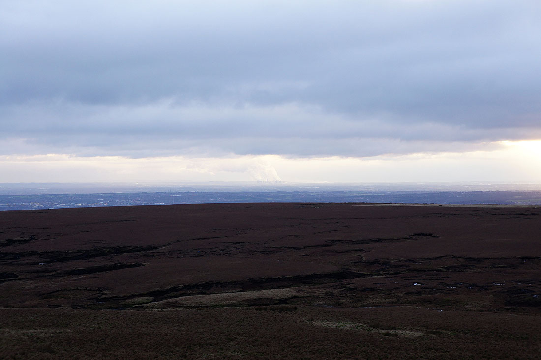
The Fiddlers Ferry power station in the distance. Located next to the River Mersey between Widnes and Warrington.

A parting shot with the sun trying to put in an appearance
Back down to Buckden Wood