27th December 2015 - Pendle Hill
Walk Details
Distance walked: 7.0 miles
Total ascent: 1012 ft
OS map used: OL41 - Forest of Bowland & Ribblesdale
Time taken: 4.5 hrs
Route description: Nick of Pendle-Pendleton Moor-Mearley Moor-Scout Cairn-Downham Moor-Pendle Hill-Ogden Clough-Deerstones-Pendleton Moor-Nick of Pendle
After all the terrible weather during Christmas today was a real tonic. Blue skies and sunshine all day and still mild for the time of year. Although I wasn't directly affected by the flooding, places just a few miles away were and it was quite shocking to see how events unfolded yesterday as the rain poured down. Things didn't look too out of place on the drive out this morning, there was some debris left on the roads, twigs and gravel etc and river levels had already returned to more normal levels. I wasn't sure what I would see when I looked down on the Ribble valley, Whalley and Ribchester were two places that were badly affected yesterday but I was pleased to see that from where I was looking the Ribble had returned to its banks.
From my starting point at one of the laybys on the road across the Nick of Pendle I made my way up onto Pendleton Moor. When the path started to swing across towards Ogden Clough I left it for one across the top of Howcroft Brook and onto Mearley Moor. I then followed the wall north (this was the boggiest bit today) towards the Scout Cairn on the top of Worston Moor, onwards over Downham Moor and to the trig point and summit. My route back was the path down into Ogden Clough, then out of Ogden Clough for the path back down Pendleton Moor to the Nick of Pendle with a detour to the Deerstones on the way.
Route map
© Crown copyright. All rights reserved. License number PU 100034184.
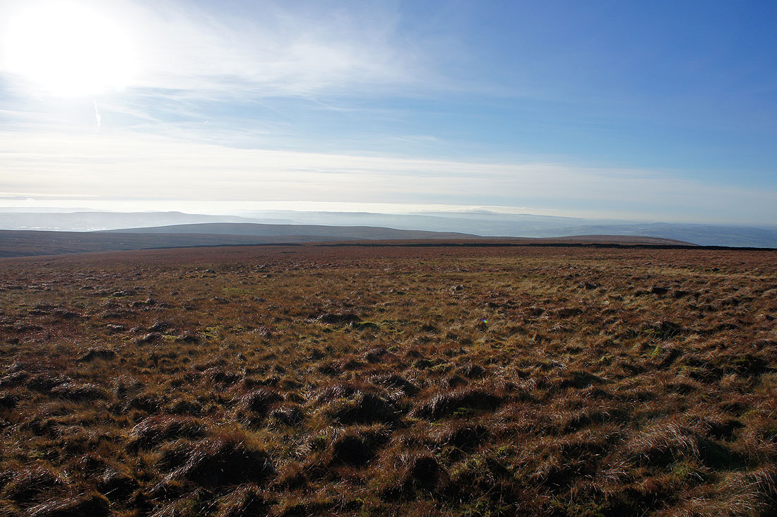
It's a lovely morning as I leave the Nick of Pendle behind and head up onto Pendleton Moor
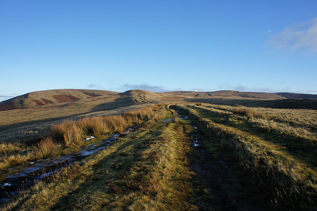
A first chance for a look across the Ribble valley and Clitheroe to Longridge Fell and the Forest of Bowland
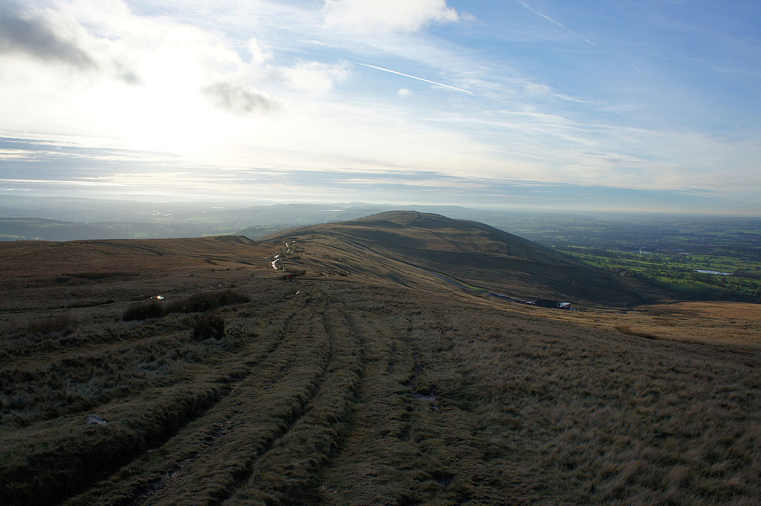
Looking back down Pendleton Moor to the Nick of Pendle with the moorland of The Rough on its other side
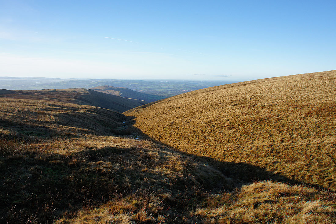
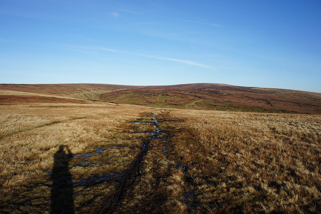
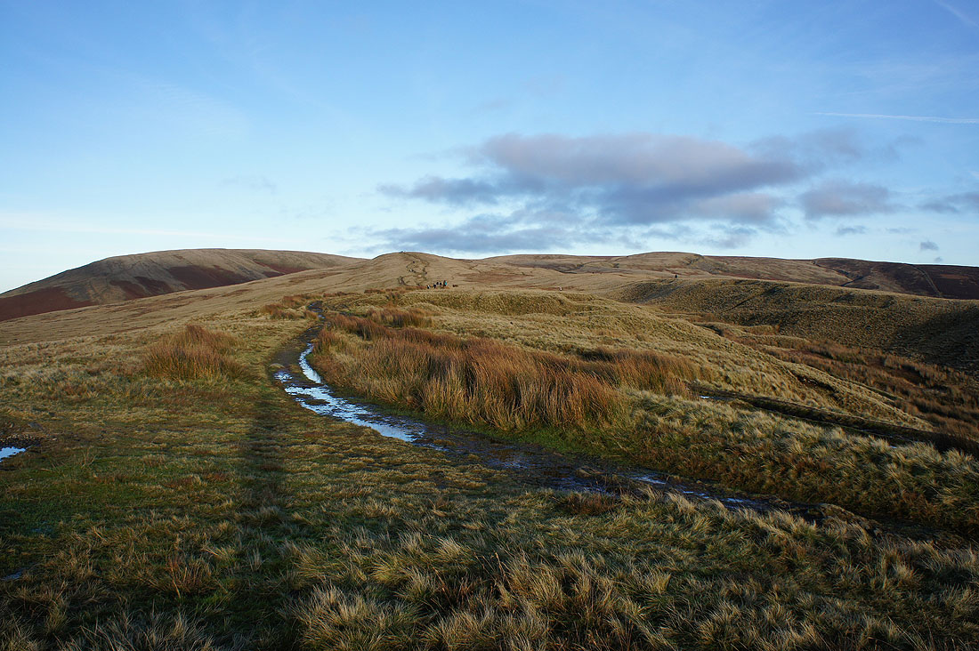
At the top of Howcroft Brook. I've left the main path to Ogden Clough behind for one onto Mearley Moor.
Approaching the cairn on Mearley Moor
The way ahead and it was extremely wet underfoot. I'm aiming for the Scout Cairn, which is at the top of Worston Moor on the left.
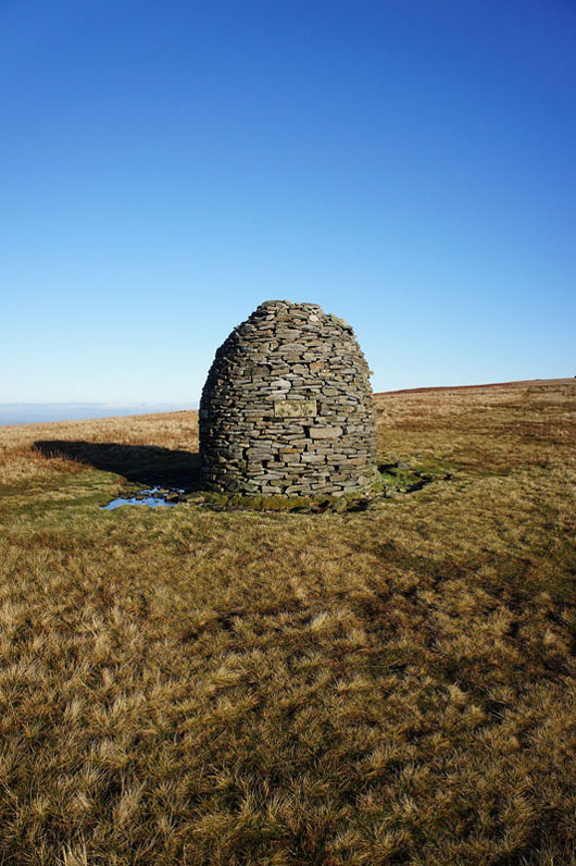
and here it is
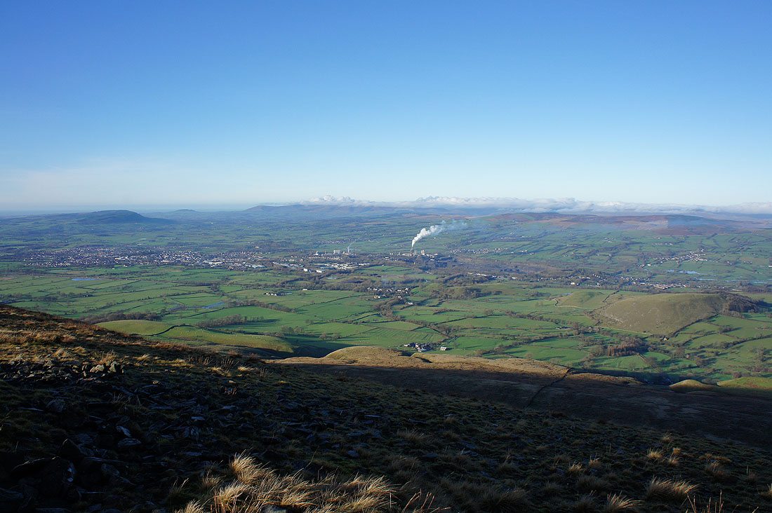
There's a good view of the Ribble valley from just a short distance away from it. Longridge Fell, Clitheroe, Parlick, then the higher fells of Fair Snape Fell and Totridge under cloud, with Easington Fell on the right.
and looking up the Ribble valley towards the Yorkshire Dales
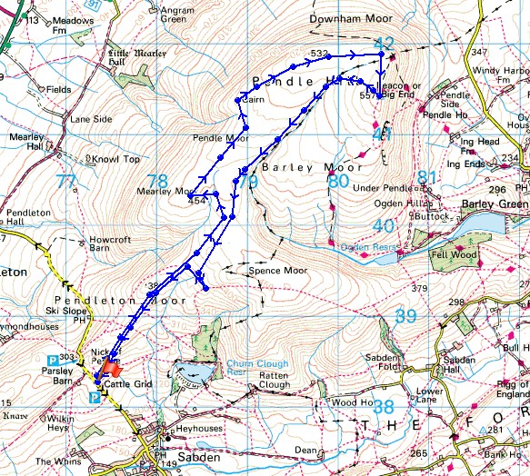
Looking back after crossing the ladder stile onto Downham Moor
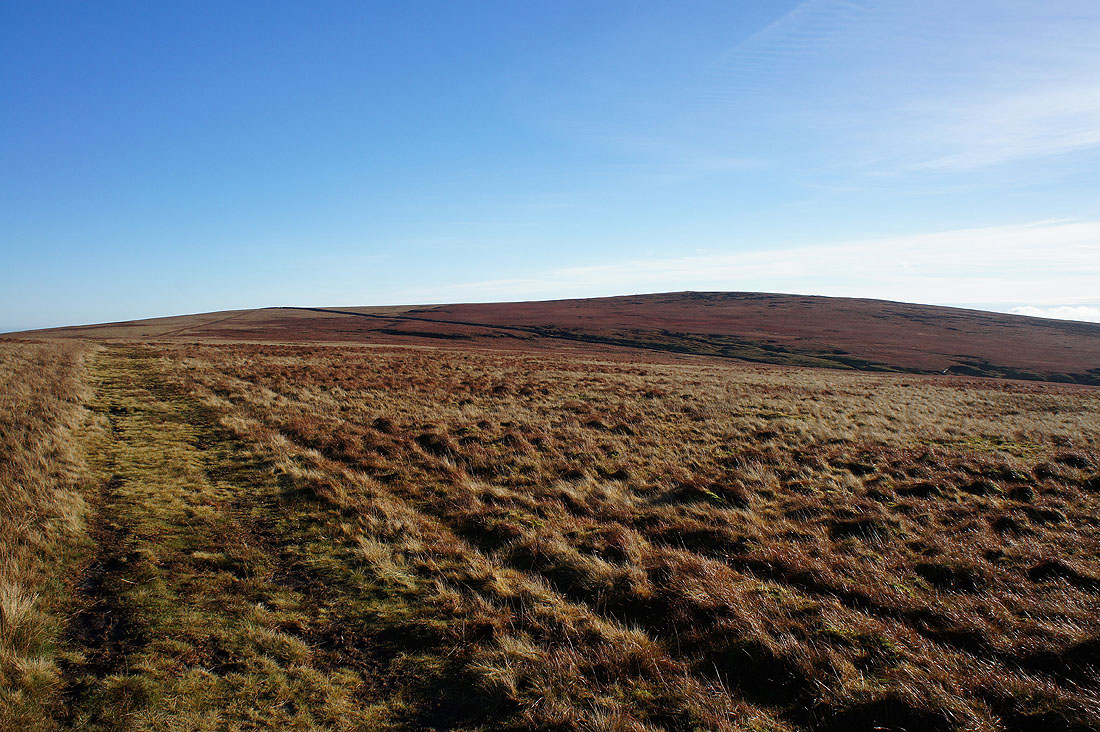
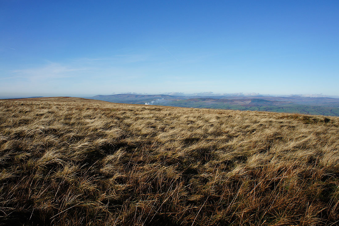
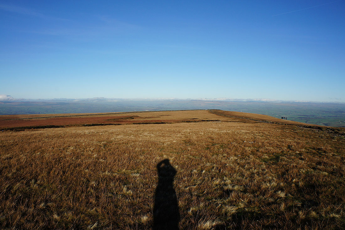
This is definitely my favourite route to the top and I'm glad to see that the bit of cloud there was earlier has gone
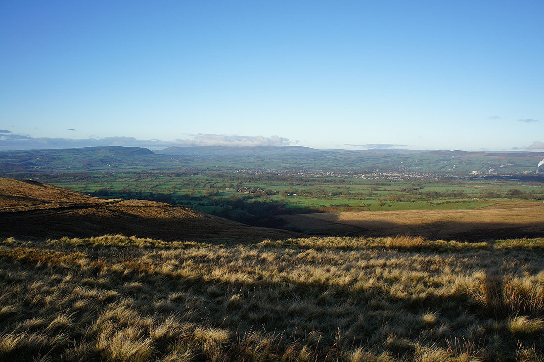
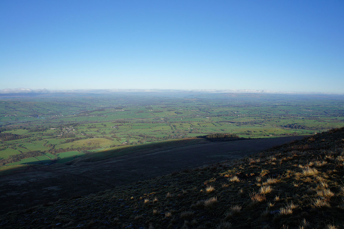
The West Pennine Moors in the distance
My lunch stop with a view across Downham Moor to the cloud clearing the fells of the Forest of Bowland
Barden Moor, Weets Hill and Pinhaw Beacon out to the east
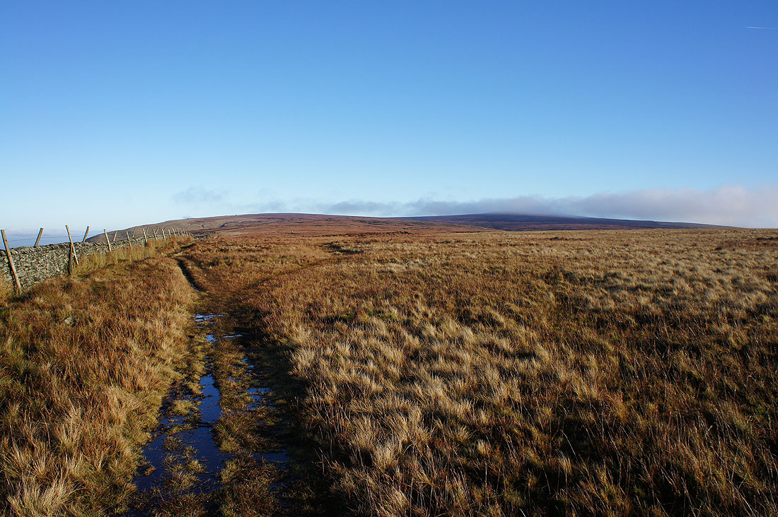
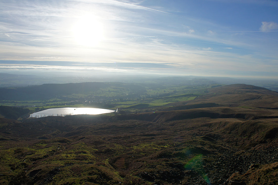
The Black Moss Reservoirs, Barley, Lower Ogden Reservoir and a distant Boulsworth Hill as I head for the summit
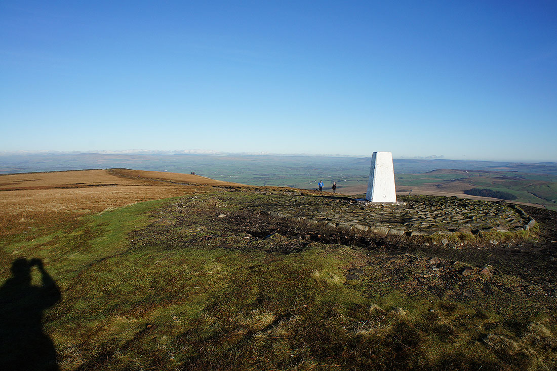
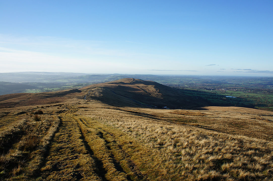
On the summit of a busy Pendle Hill
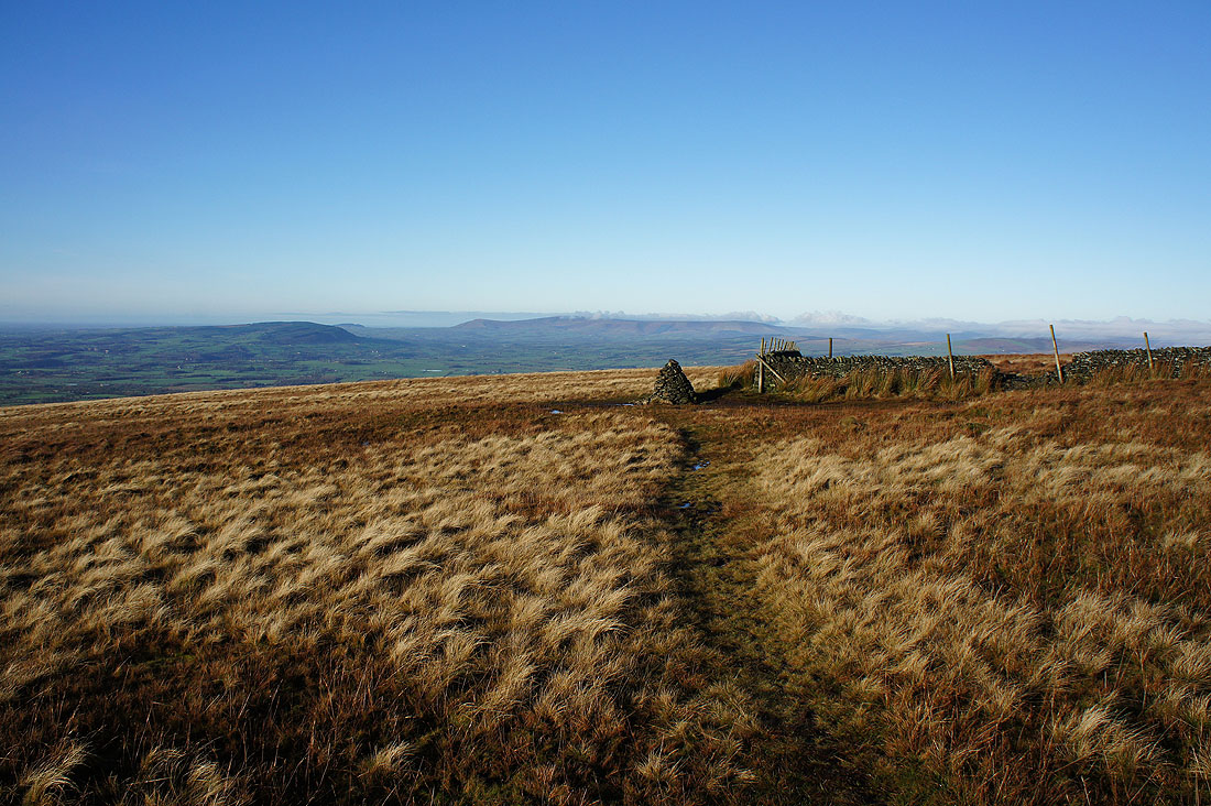
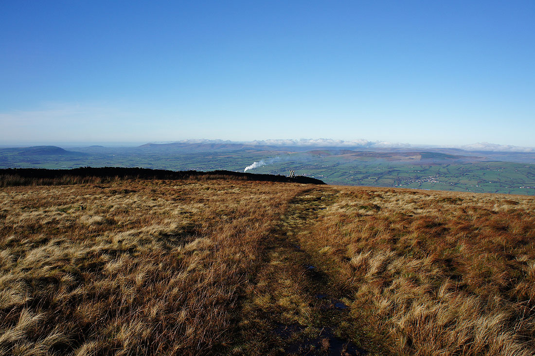
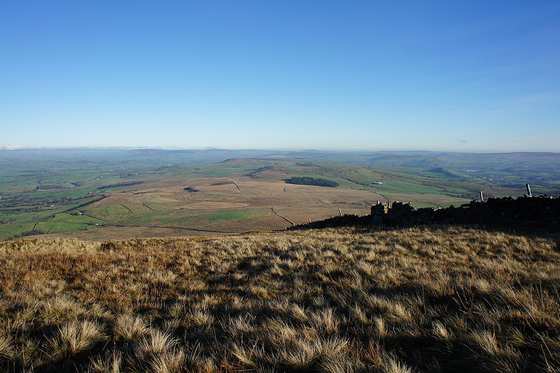
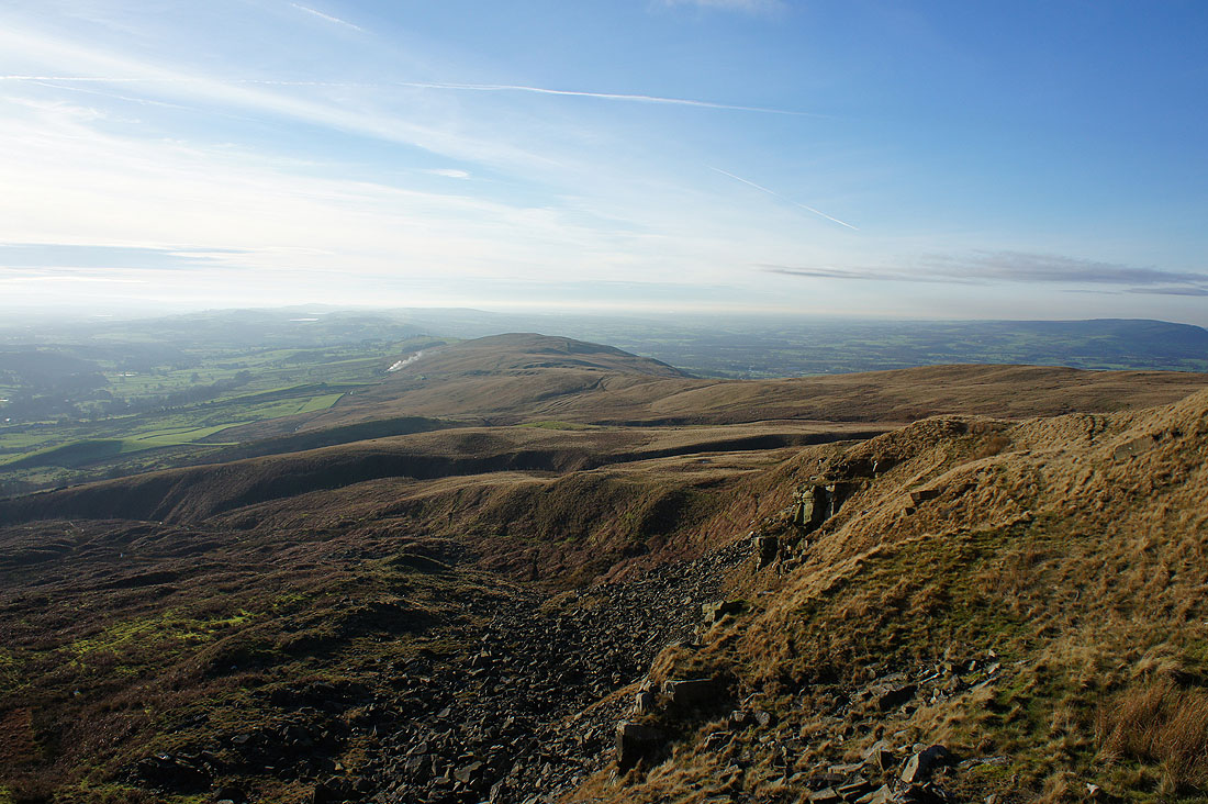
Looking towards the Ribble valley and the cairn that marks the route to Ogden Clough
Cloud still hiding the hills of the Yorkshire Dales
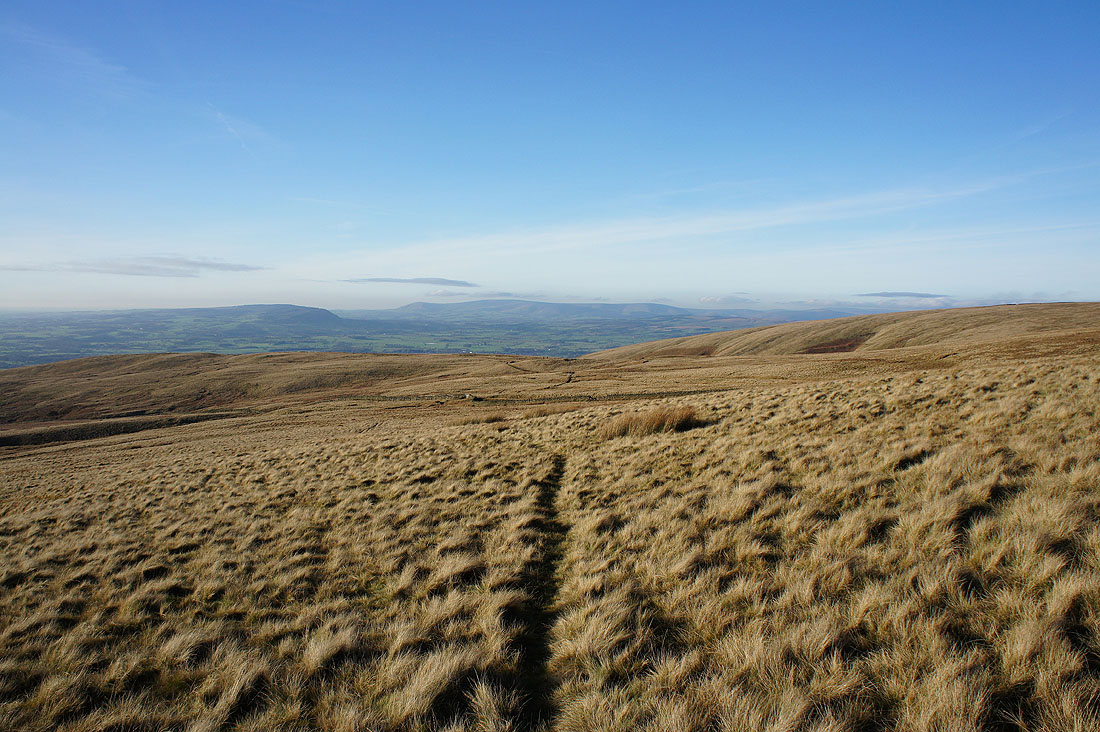
Cloud free fells of the Forest of Bowland in the distance and I really like the contrast of colours between the moorland grass and the blue skies
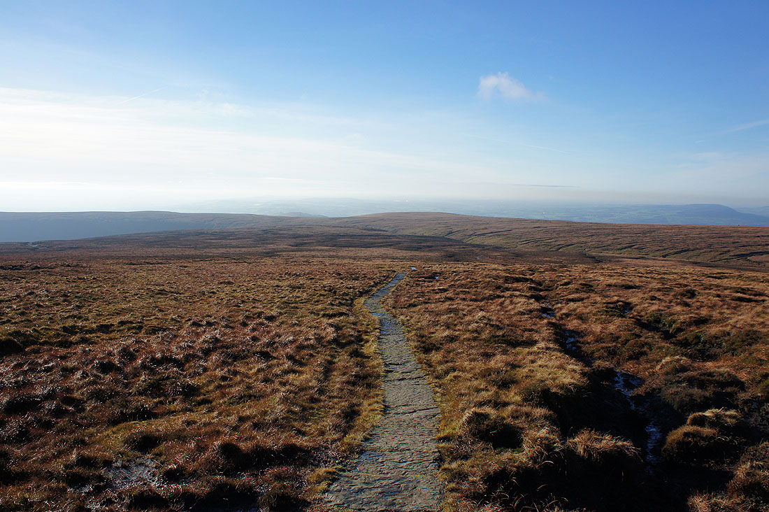
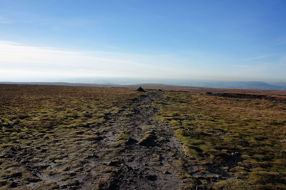
On the flagged path down..
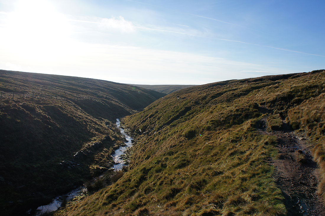
..into Ogden Clough
Looking back to the summit as I leave Ogden Clough behind
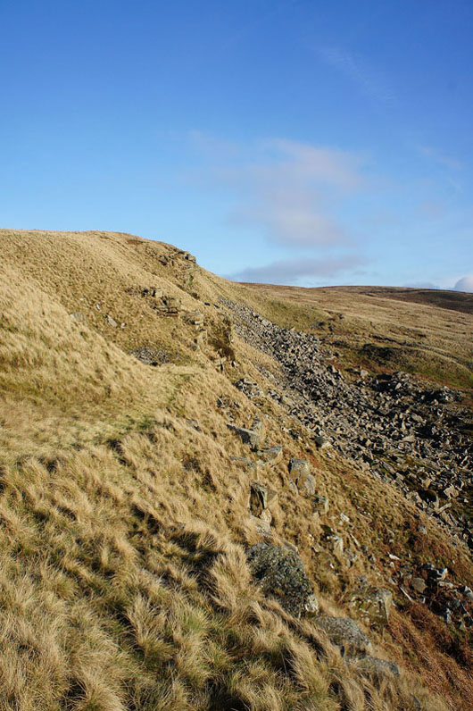
As I head back to the Nick of Pendle I decided to make a detour to Deerstones. It's been several years since I last paid them a visit.
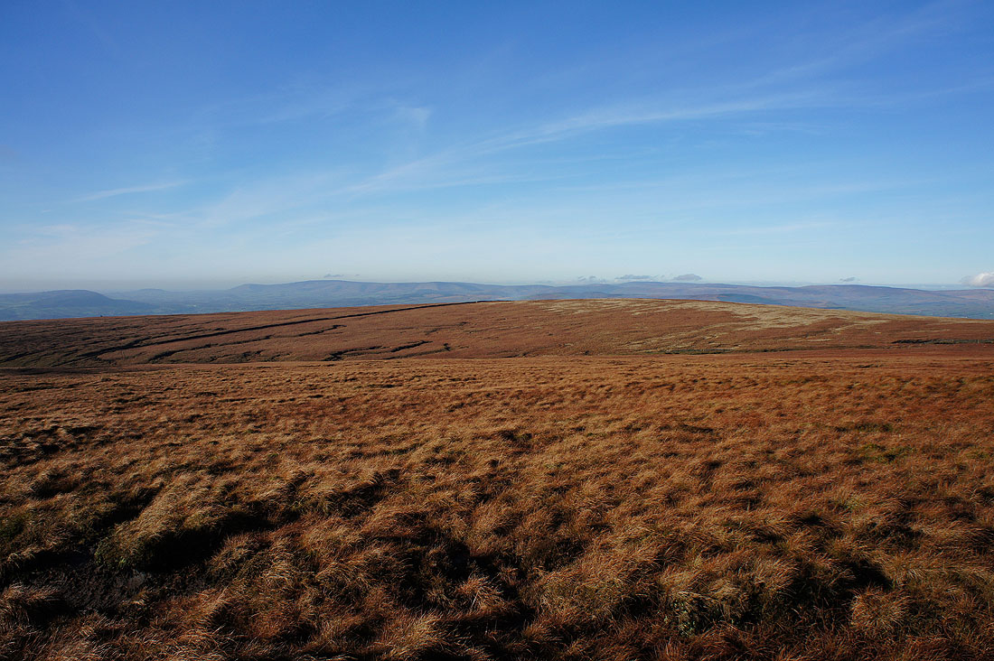
Looking across Pendleton Moor to Longridge Fell, Parlick, Fair Snape Fell and Totridge
The moorland of The Rough beyond the Nick of Pendle with the Ribble valley beyond
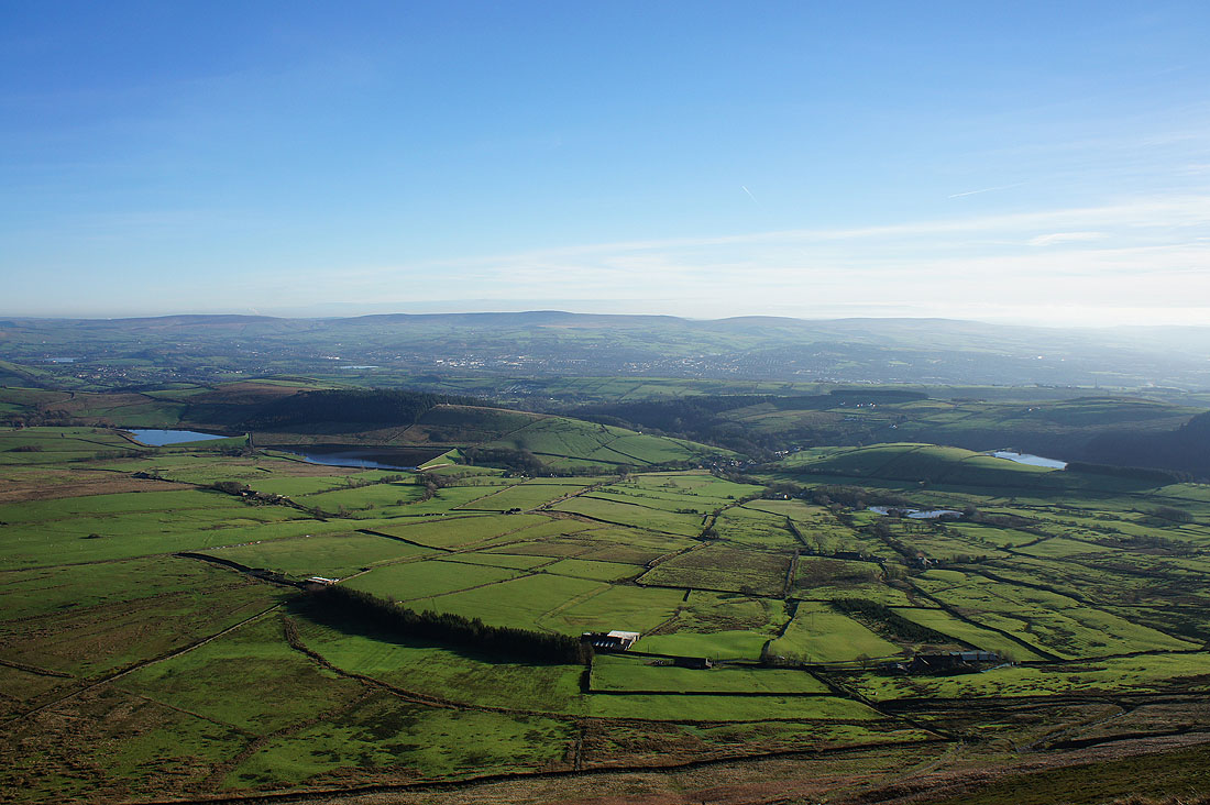
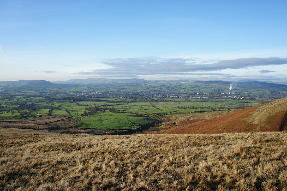
Churn Clough Reservoir and Sabden below
A lovely view across the Ribble valley as I make it back to Pendleton Moor
Not far to go to the Nick of Pendle
A last look back before the sun disappears