27th December 2016 - Kinder Downfall
Walk Details
Distance walked: 7.4 miles
Total ascent: 1923 ft
OS map used: OL1 - The Peak District, Dark Peak area
Time taken: 5.5 hrs
Route description: Bowden Bridge-Kinder Road-Kinder Reservoir-William Clough-Sandy Heys-Kinder Downfall-Kinder Low-Kinderlow End-Tunstead Clough Farm-Bowden Bridge
I consider myself lucky to have always had a job and work in an industry that by and large shuts down over the Christmas and New Year period. Therefore, I keep my fingers crossed that there are at least a couple of fine days when I can take advantage of this and get out for a walk. Today and tomorrow are definitely forecast good weather, so it's just a case of deciding on the place to go as conditions are not meant to be the same everywhere. The Peak District looked like it was going to see the best weather today so I chose to do a walk on the western edge of Kinder Scout from Bowden Bridge near Hayfield. It's a route that I've done a few times and is just the right length for a winters day. I had a really enjoyable day out with largely sunny skies (though it was quite hazy in the afternoon) and good visibility to take in the views.
From where I parked by the roadside at Bowden Bridge I started by making my way up the Kinder Road to Kinder Reservoir. I followed the path by the shoreline to William Clough and then the path up the clough to its top. The next part of my walk took me east along the edge top path past Sandy Heys to Kinder Downfall and then south to the trig point at Kinder Low. My route back took me down Kinderlow End, across fields to Tunstead Clough Farm, down its driveway to the Kinder Road and then back to Bowden Bridge.
Route map
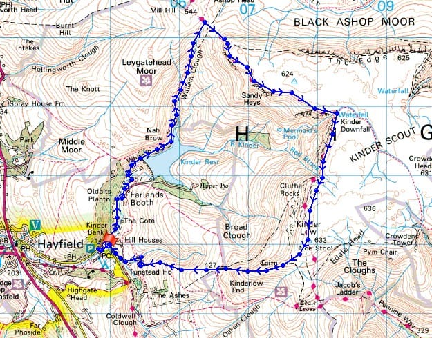
© Crown copyright. All rights reserved. License number PU 100034184.
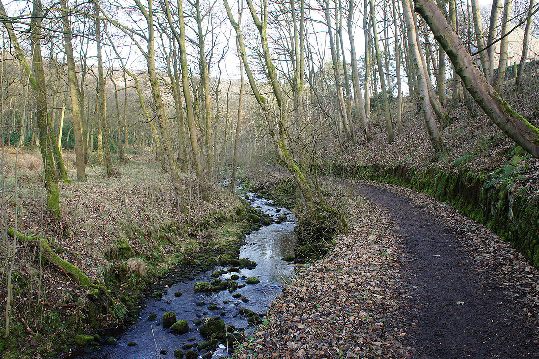
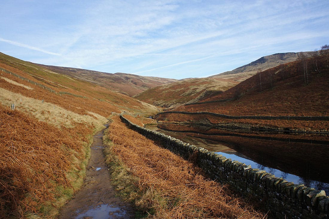
After parking on Kinder Road I set off by following the path next to the River Kinder to Kinder Reservoir
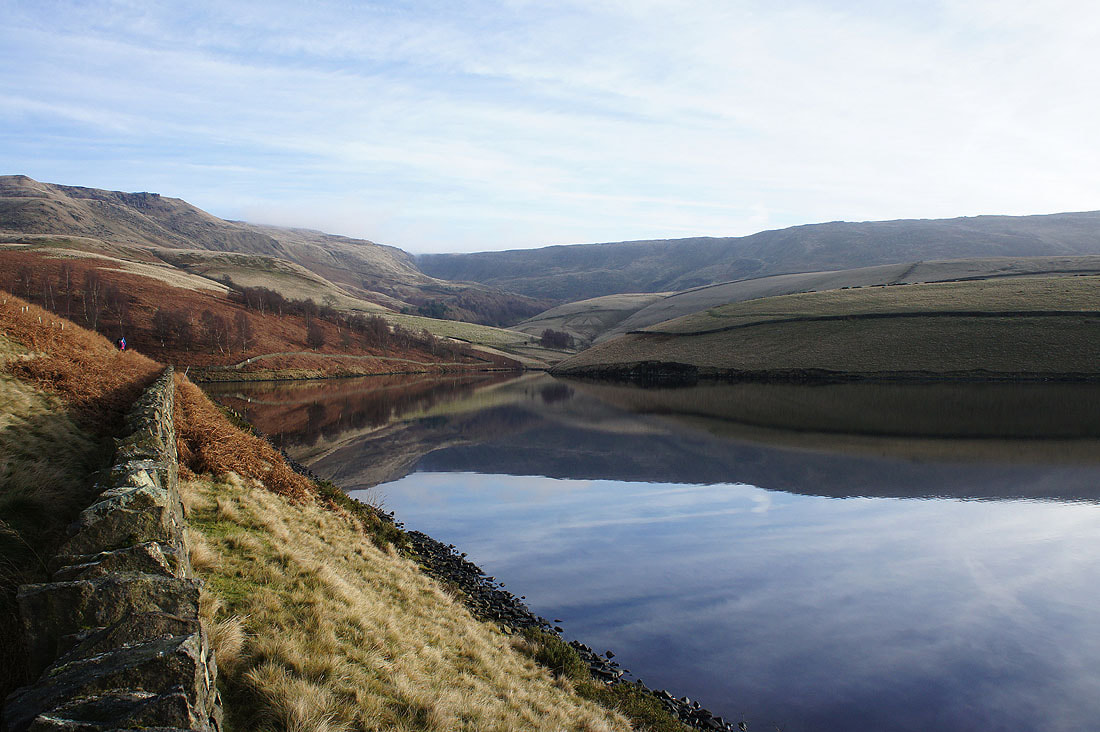
There are fantastic colours and reflections by Kinder Reservoir this morning...
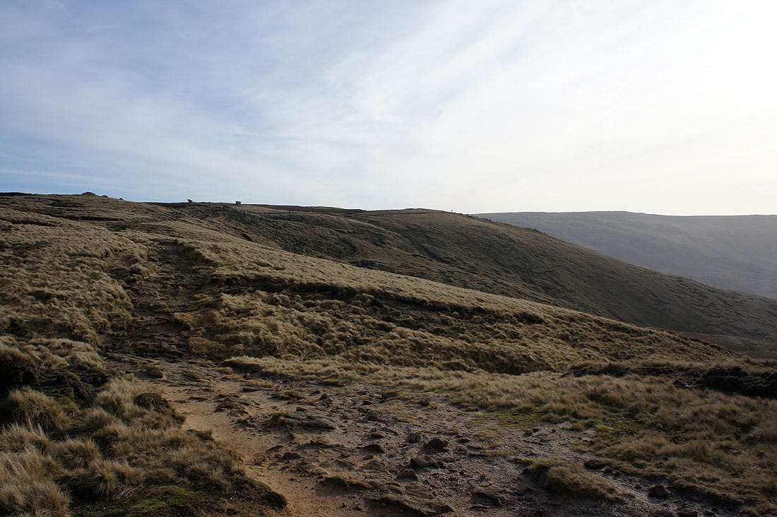
Heading up William Clough
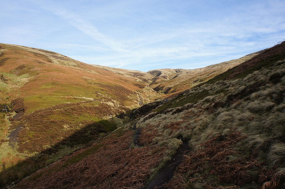
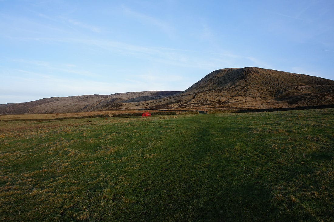
The moors look great this morning beneath the blue skies
Looking down to Kinder Reservoir as I reach the top of William Clough
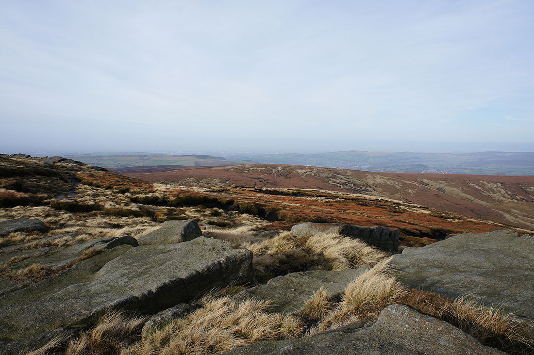
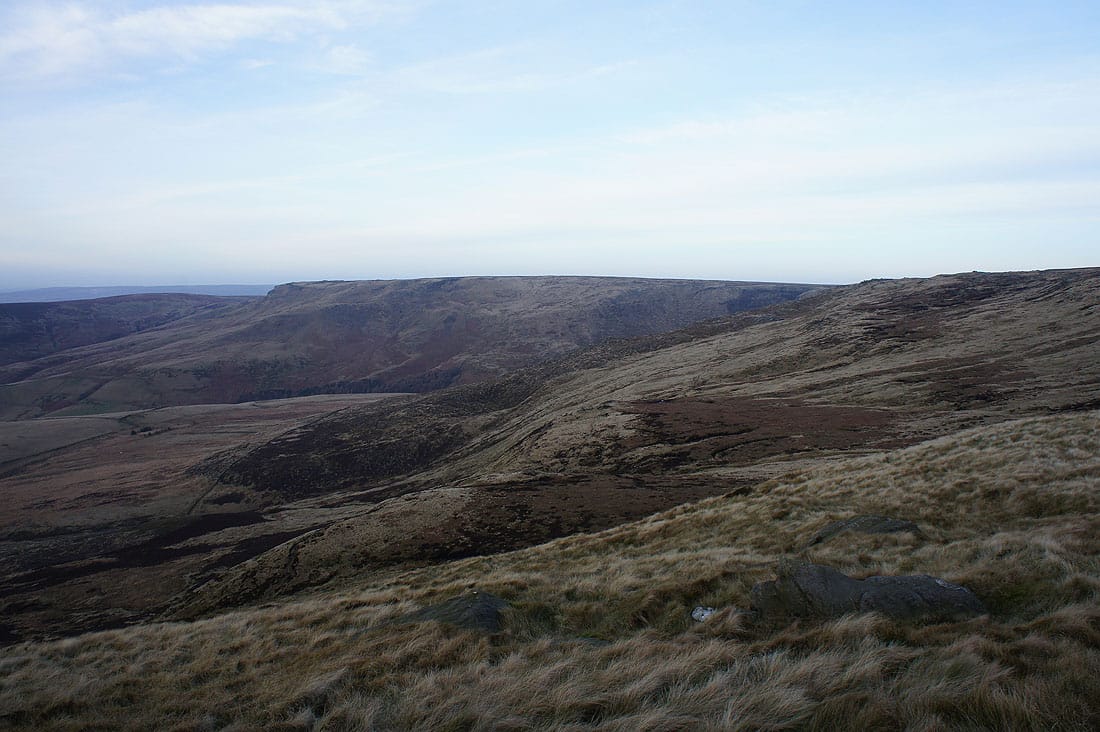
When I reached the western end of Kinder Scout's plateau I decided to briefly get onto the northern edge to have a look at the view, it's one that I won't see again today. Cown Edge, Longdendale and Hollingworthall Moor beyond Mill Hill.
Bleaklow on the other side of the Snake Pass
Looking east to the Woodlands Valley and The Edge, one of Kinder Scout's northern edges
Mill Hill from the western end of the plateau. Love the colours.
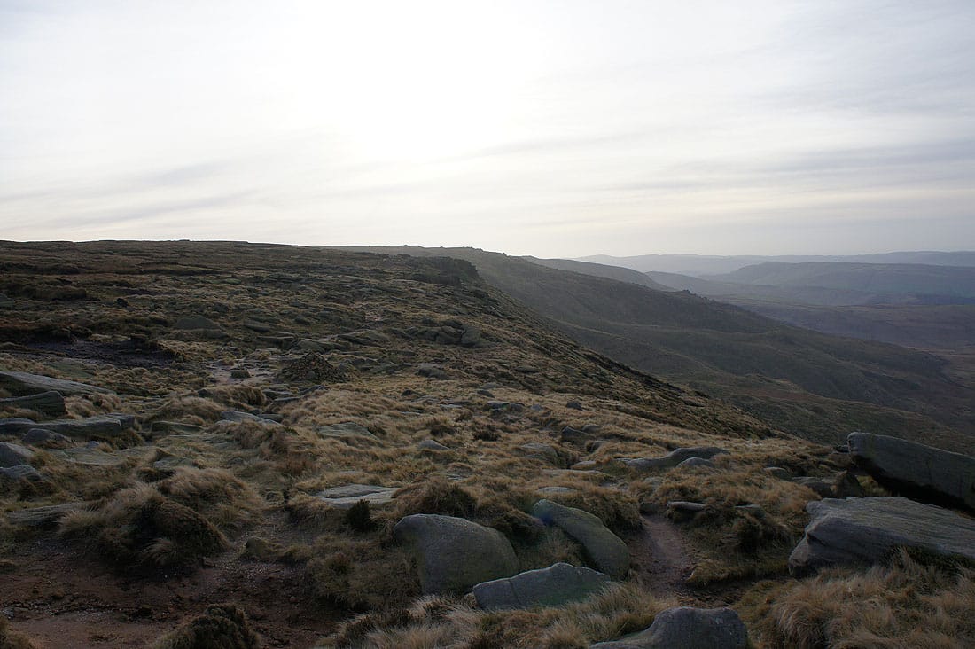
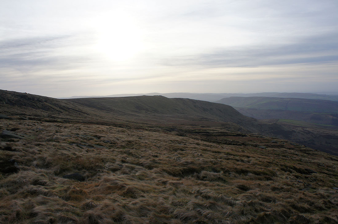
Onto the southern edge of Kinder Scout and heading east to Sandy Heys

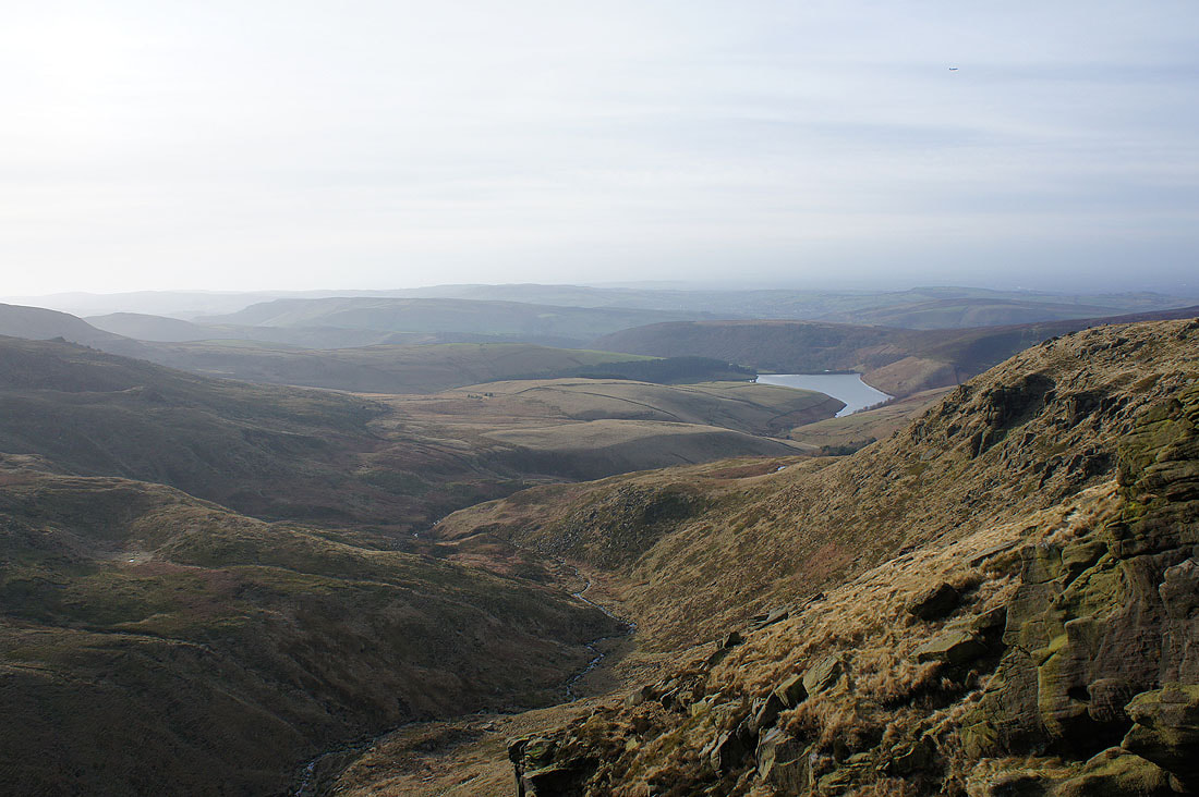
Kinder Reservoir below as I reach a corner where I can..
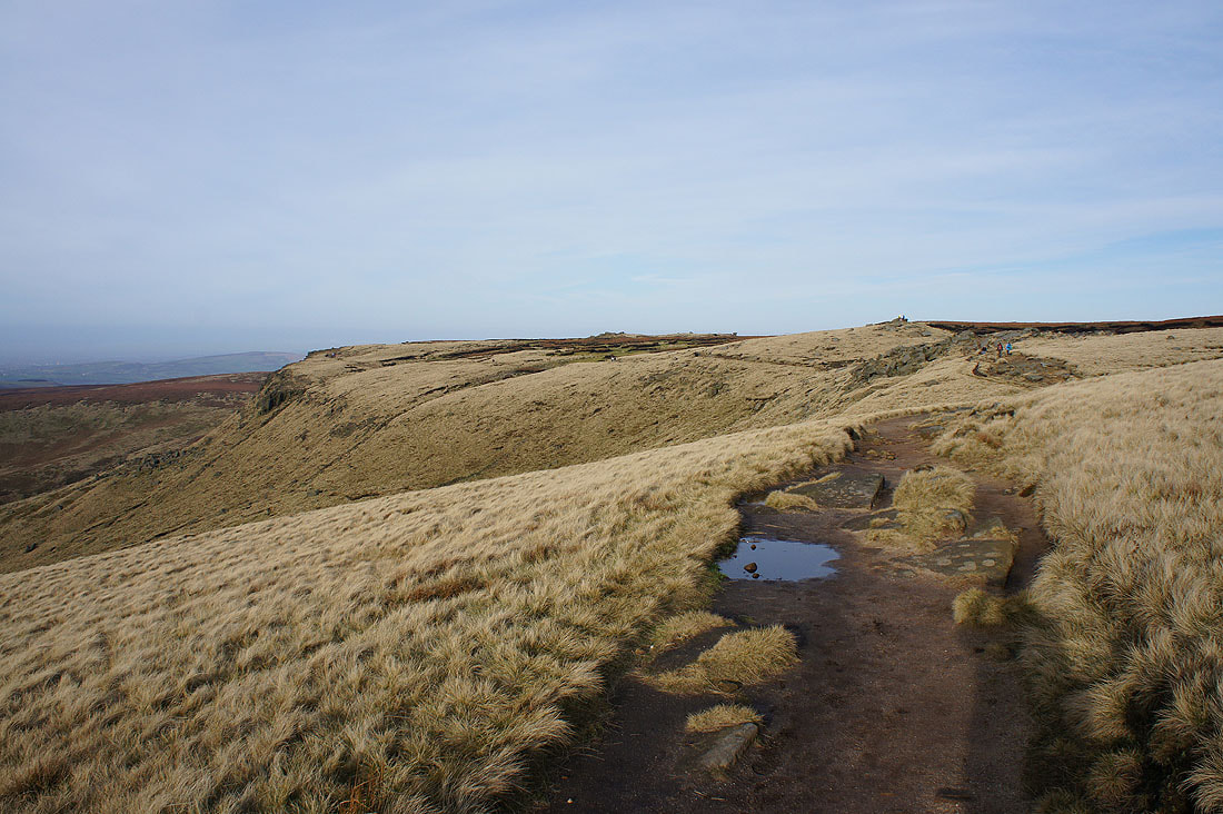
..look back to the western end of the plateau..
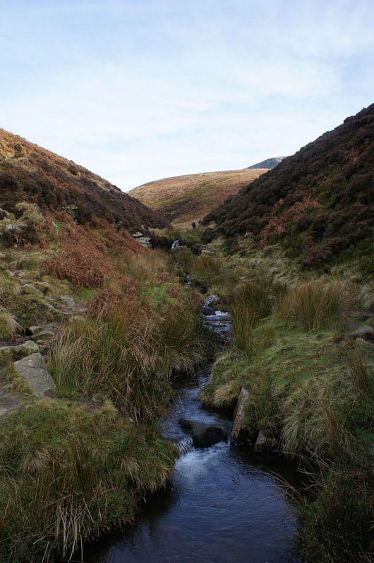
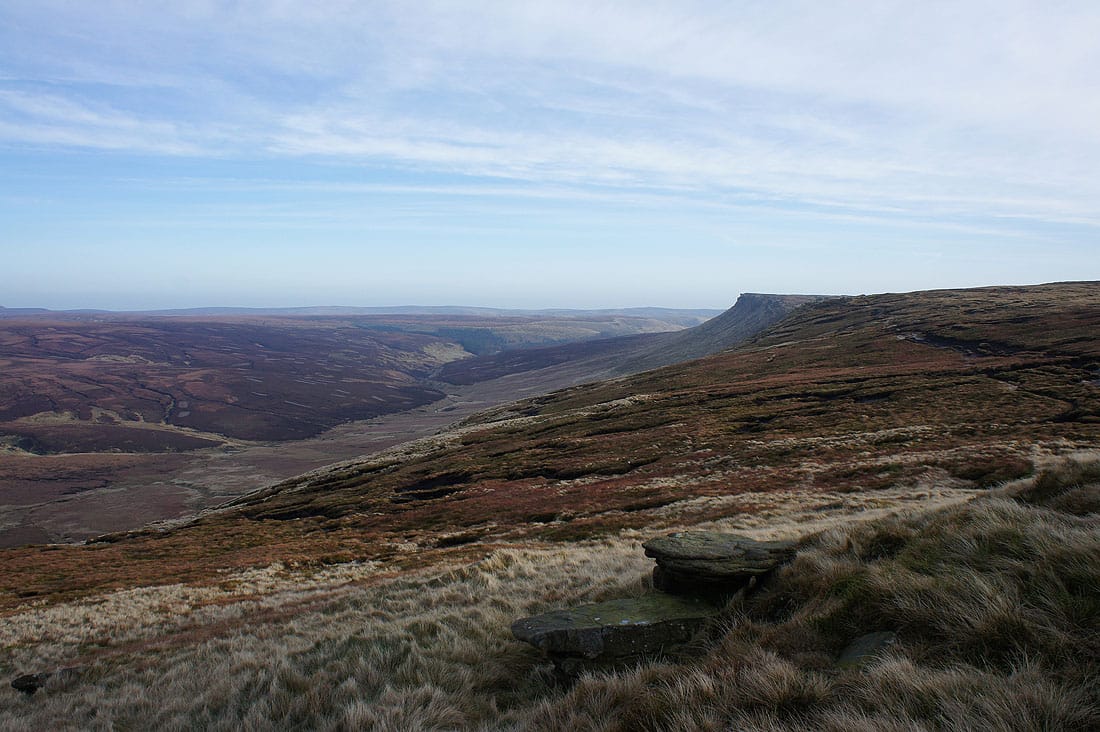
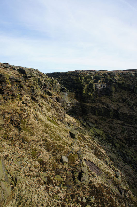
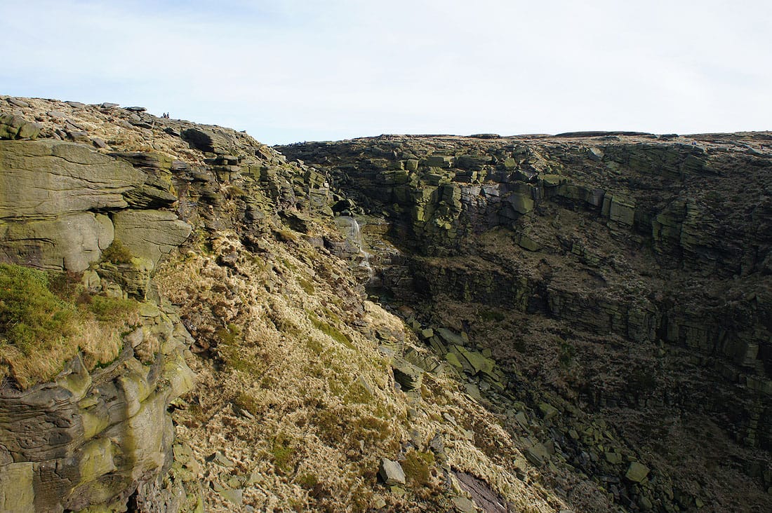
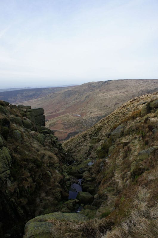
..and on to the defile that contains Kinder Downfall
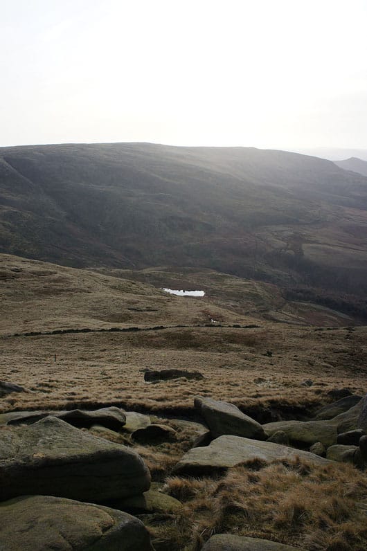
Mermaid's Pool below
|
and the River Kinder
|
|
|
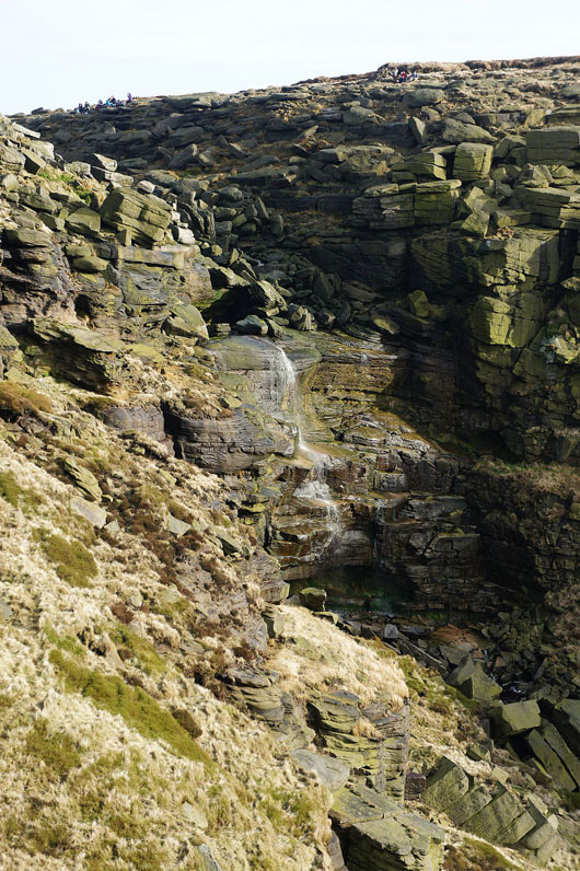
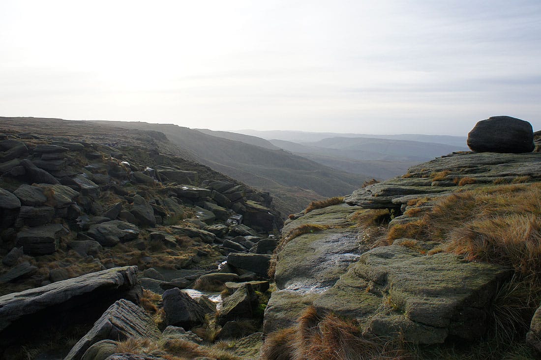
As I approached Kinder Downfall I left the path and made my way down to the top of a crag that gives me a great view of the waterfall. It was also a good spot to stop and have lunch.
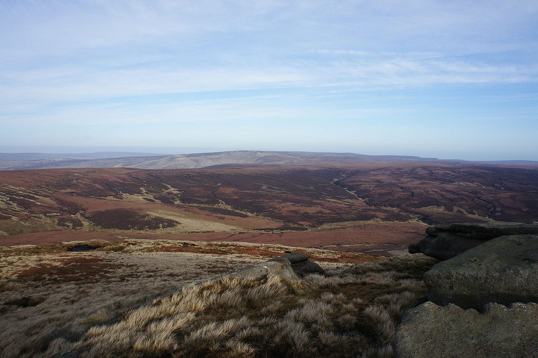
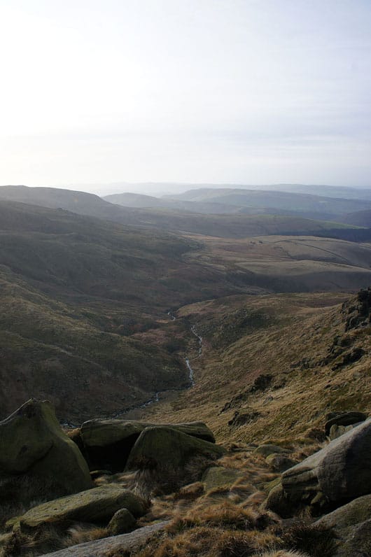
Looking down the valley of the River Kinder to Kinder Reservoir
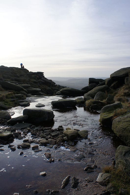
Above Kinder Downfall. High cloud is making the sunshine a bit weak and hazy but it does make things look appropriately cold and wintery.
|
|
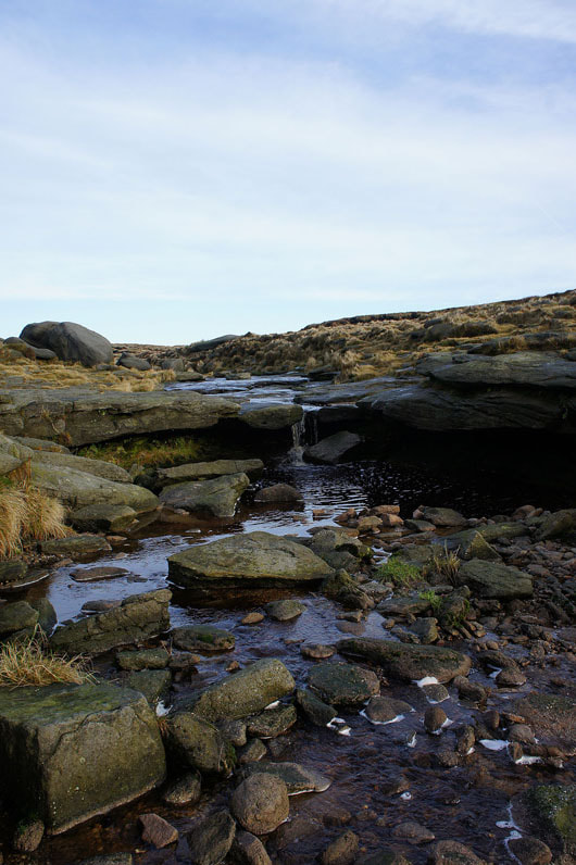
Crossing the River Kinder
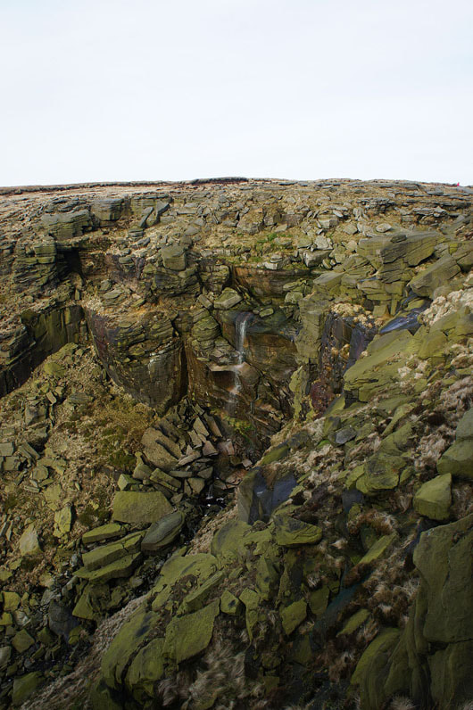
Another shot of Kinder Downfall before I move on
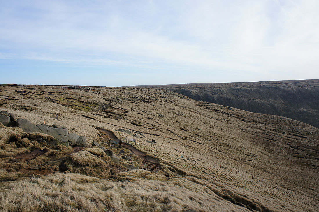
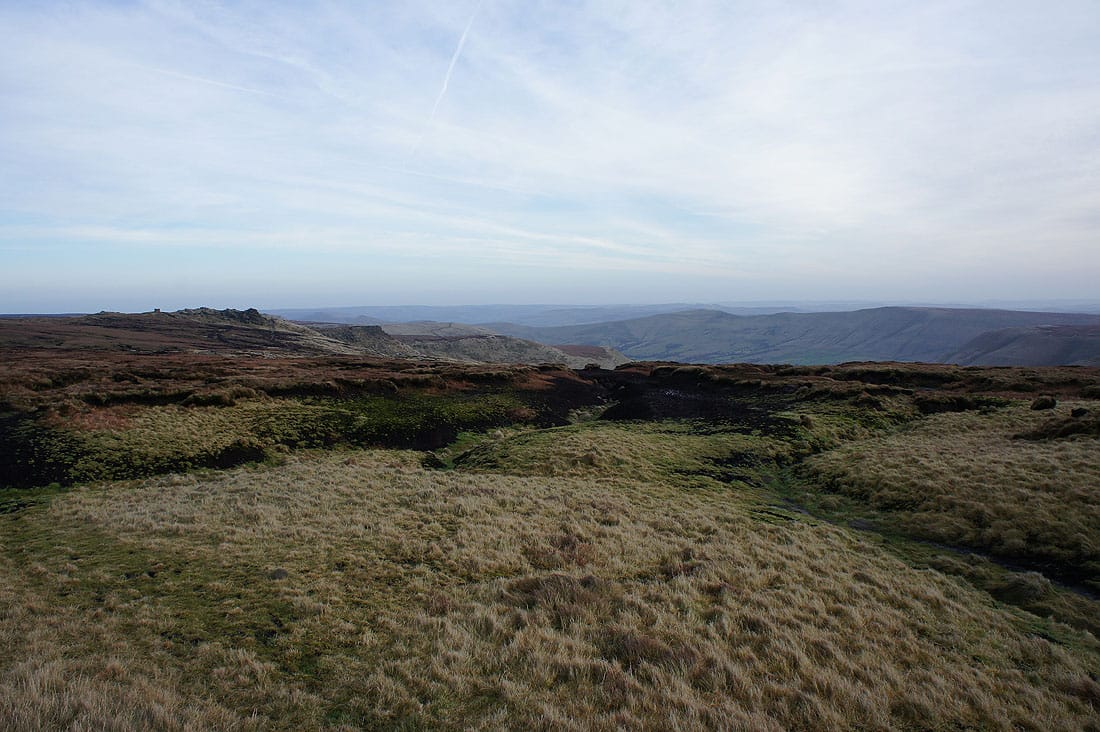
Heading south to Kinder Low
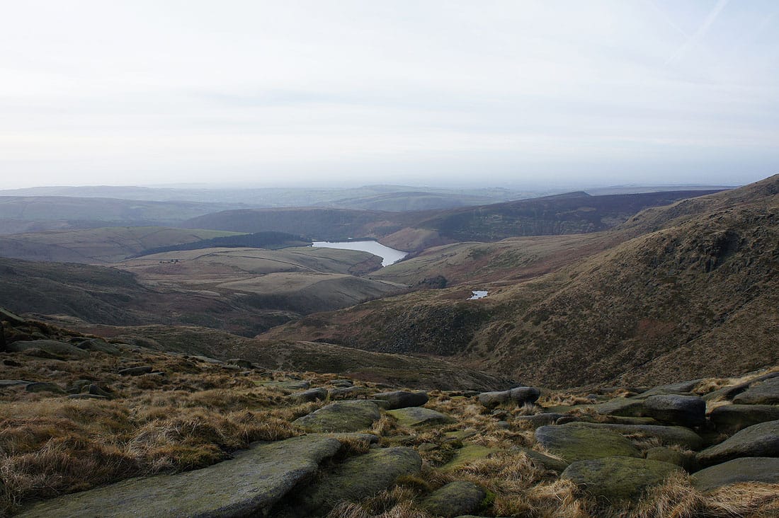
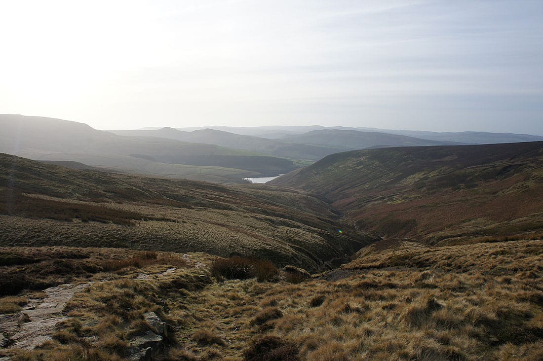
Kinder Reservoir and Mermaid's Pool
Looking across to Mermaid's Pool as I cross the top of Red Brook
Shining Tor in the distance behind Kinderlow End
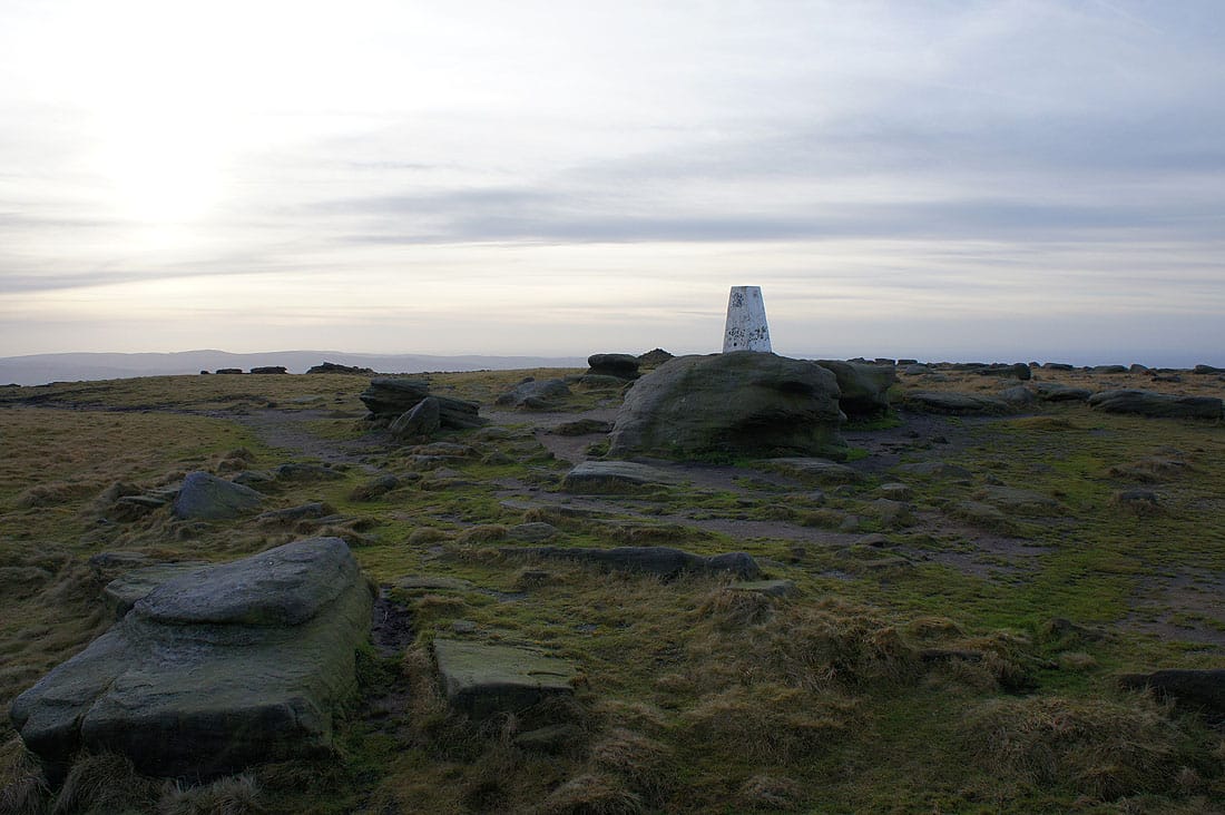
At the trig point on Kinder Low. It was busy along the edge to Kinder Downfall but at two o'clock in the afternoon it's quieter now.
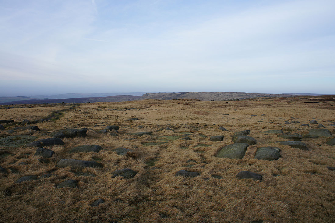
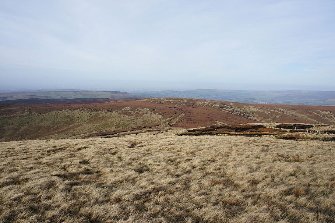
Big skies as I look northwest to the western end of Kinder Scout
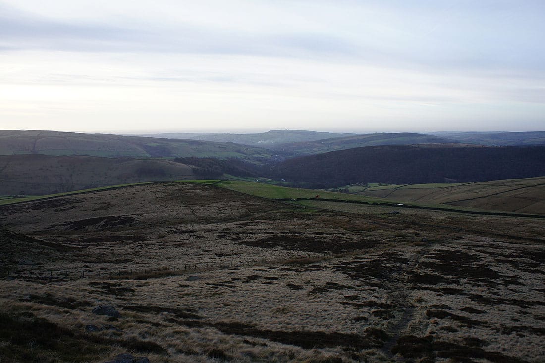
There's a bit of a view towards the Vale of Edale with the gritstone outcrops of Pym Chair and the Wool Packs on the left and Mam Tor and Lord's Seat on the right
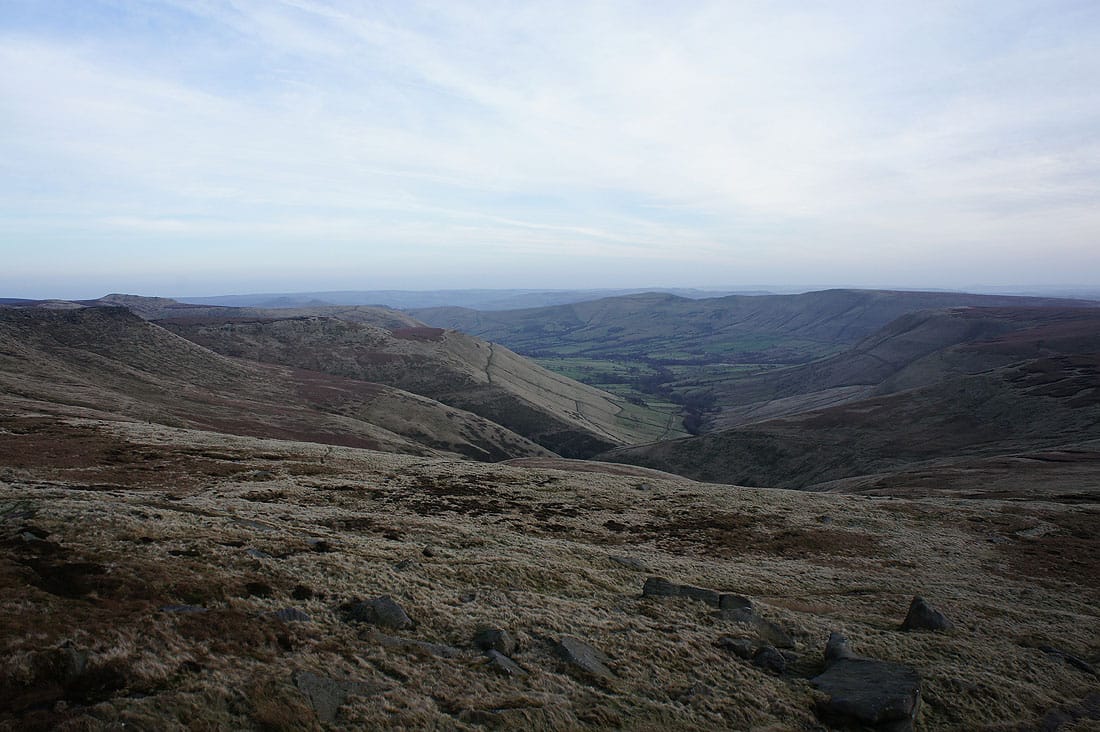
It's much better from Edale Rocks though
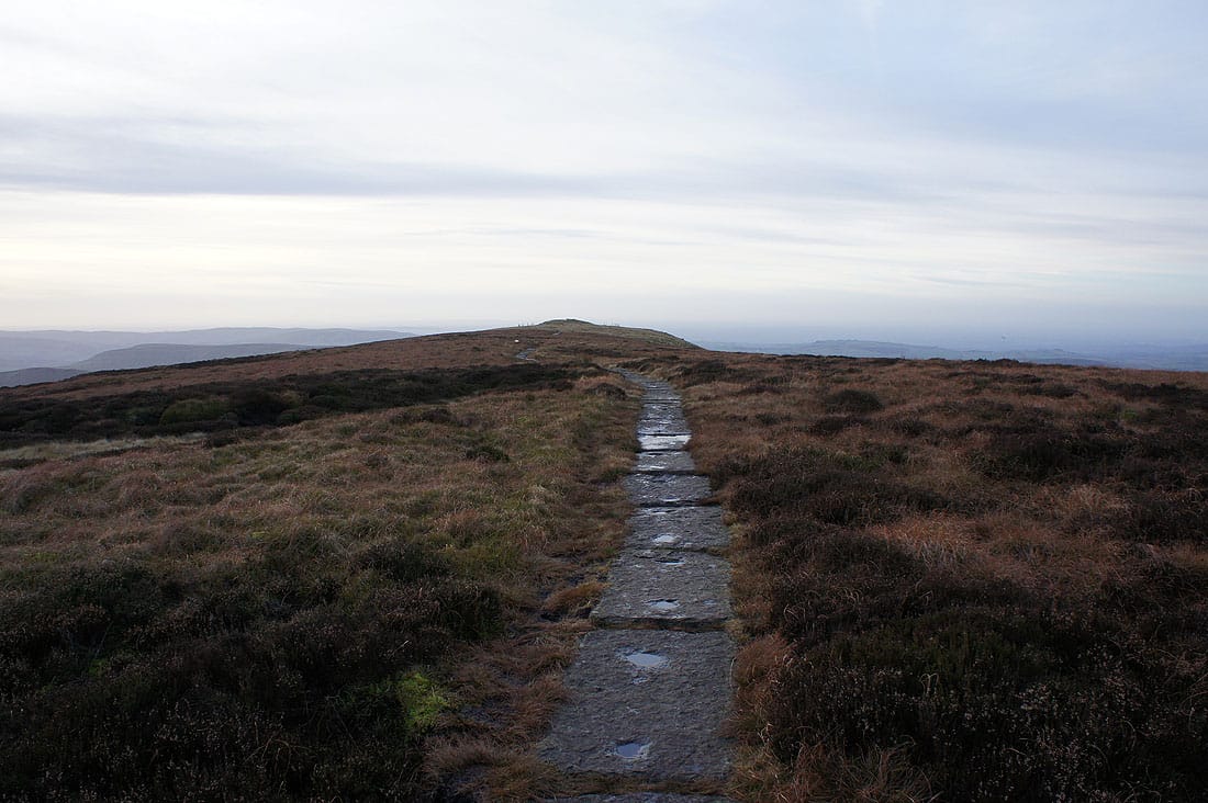
On my way to Kinderlow End
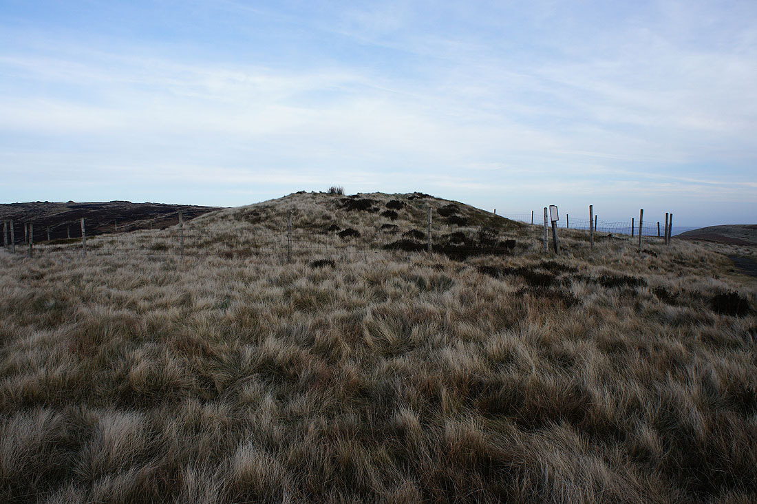
The burial mound of Kinderlow Bowl Barrow on Kinderlow End
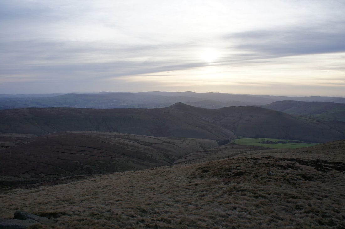
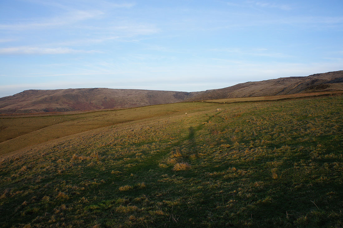
Combs Edge, Axe Edge Moor and Shining Tor in the distance beyond the nearby South Head and Mount Famine
Looking across to the western end of Kinder Scout
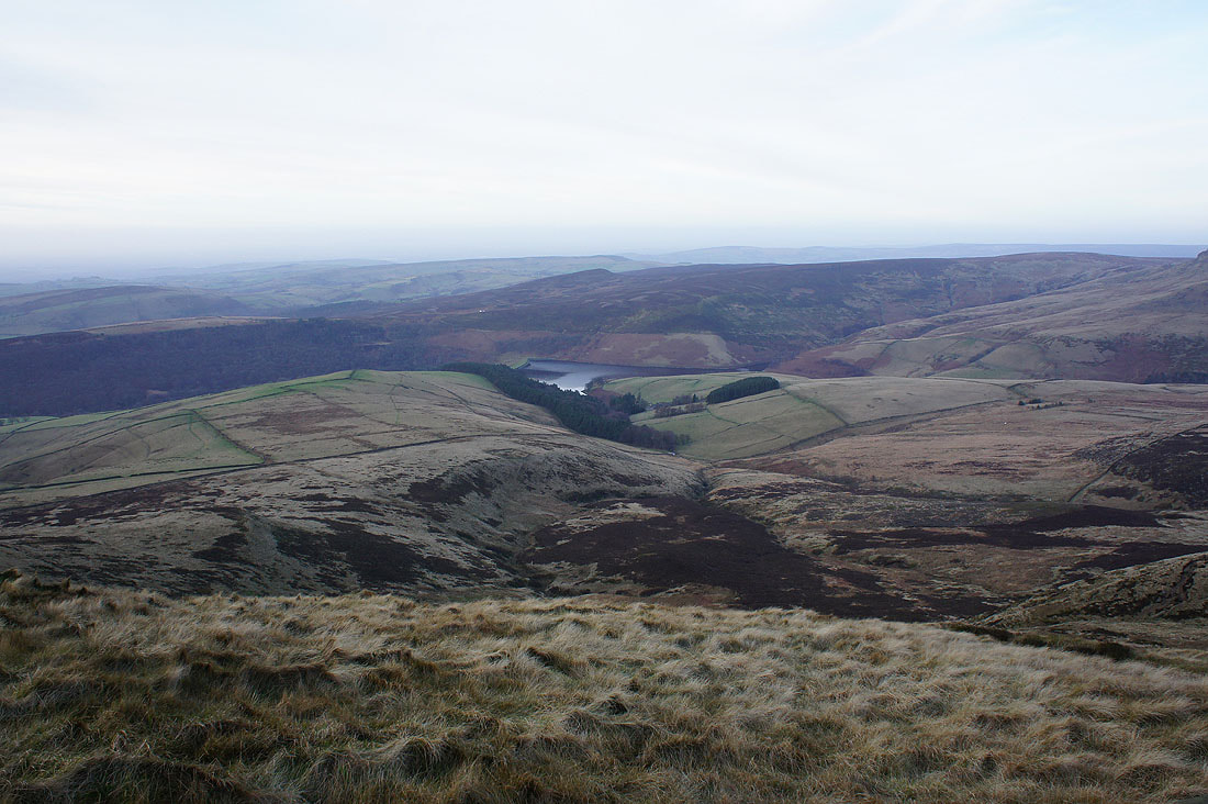
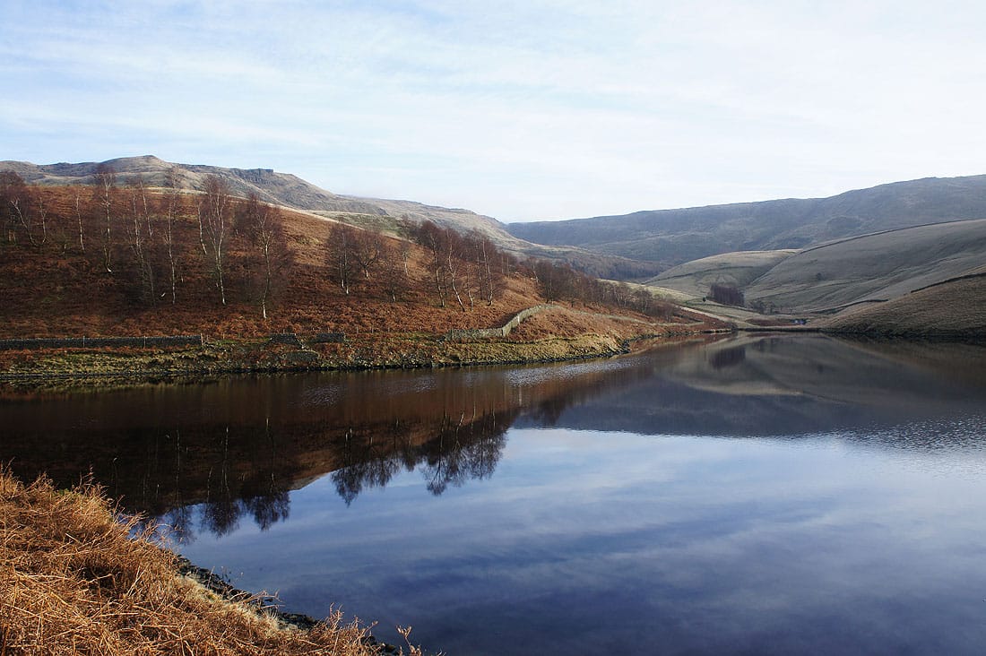
Kinder Reservoir and Leygatehead Moor
Making my descent from Kinderlow End. The path crosses the fields below before heading down into the woodland.
As I make my way down the setting sun comes out and casts a lovely light on the hillside behind me..
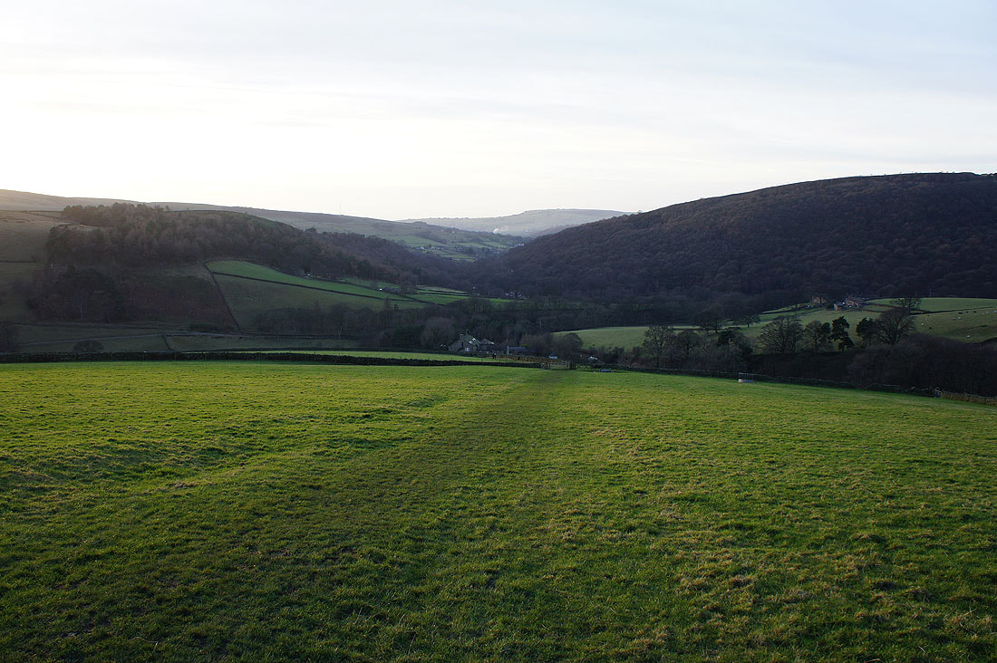
Tunstead Clough Farm ahead and I'll be left with a short walk back to Bowden Bridge