27th December 2018 - Stanage Edge
Walk Details
Distance walked: 7.1 miles
Total ascent: 856 ft
OS map used: OL1 - The Peak District, Dark Peak area
Time taken: 5 hrs
Route description: Dennis Knoll car park-Long Causeway-Stanage End-High Neb-Stanage Edge-Long Causeway-Stanage Pole-Stanage Edge-Long Causeway-Dennis Knoll car park
I'm developing cabin fever. Desperate to get out for some fresh air and exercise I scour the forecasts looking for a glimmer of hope amidst the grey skies and gloom. I stood a better chance with heading east so in the end decided on Stanage Edge in the Peak District. I thought that I had a reasonable chance of being below the cloud and sunshine was even possible. Things didn't turn out quite that good and I spent a fair proportion of the time I was on Stanage Edge enveloped in hill fog. The reward for being there was the fog clearing in the middle of the afternoon and the sun piercing the cloud in dramatic style.
From the Dennis Knoll car park I walked up the track of Long Causeway until I reached a stile on the left which I crossed to walk up to the path below Stanage Edge. I then followed this path north below the edge until I reached Stanage End, where I made my way up onto the edge. I then walked south along Stanage Edge past the High Neb trig point to where the Long Causeway meets the edge, and I then followed the Long Causeway to Stanage Pole. After a break for lunch I took the direct route across a boggy White Path Moss back to Stanage Edge to resume my walk south to the southern trig point. A return north along the edge and a walk down the Long Causeway took me back to the Dennis Knoll car park.
Route map
© Crown copyright. All rights reserved. License number PU 100034184.
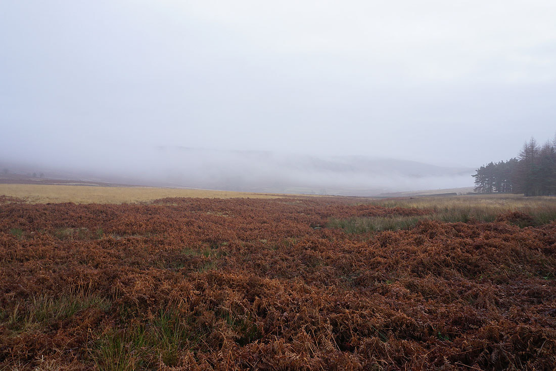
Mist sweeps up the moor as I walk along the Long Causeway towards Stanage Edge
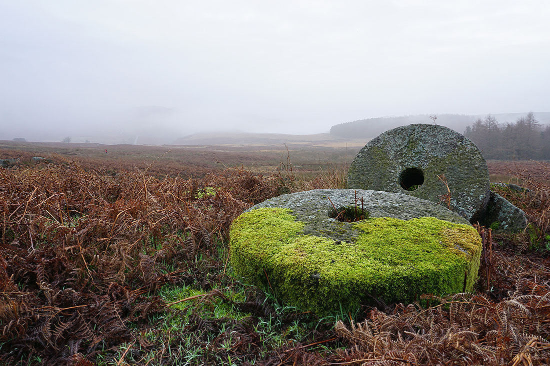
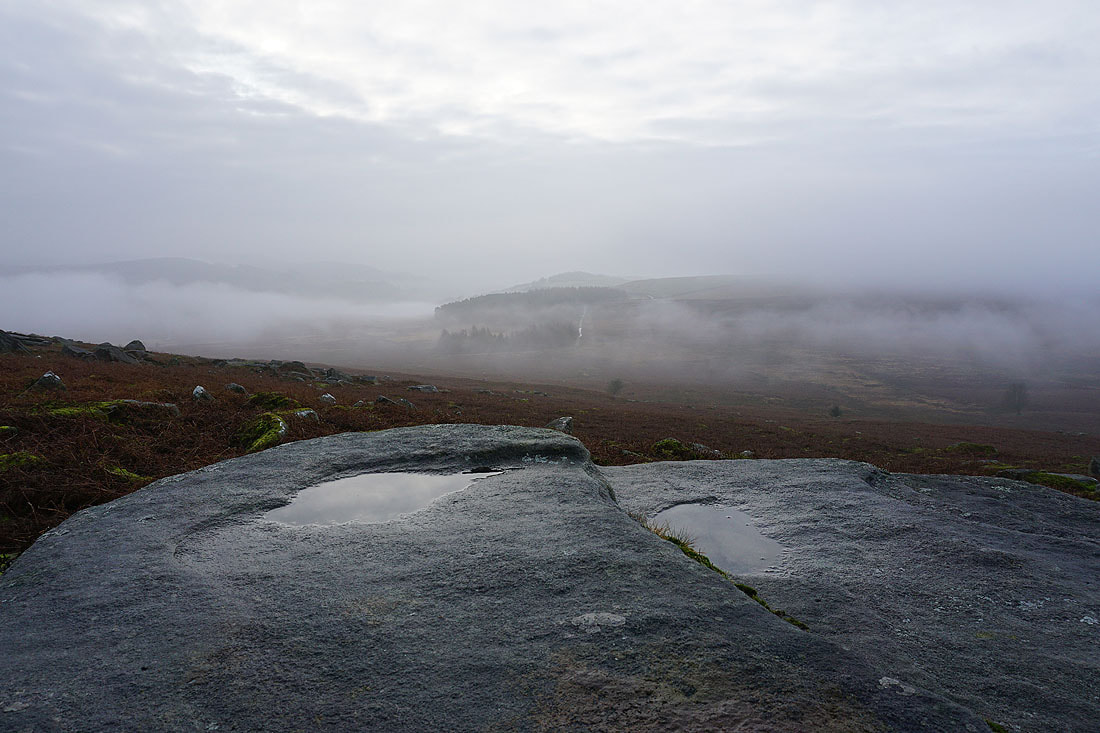
Misty moors and millstones..
Looking back towards Dennis Knoll and this is as bright as it's going to be for some time
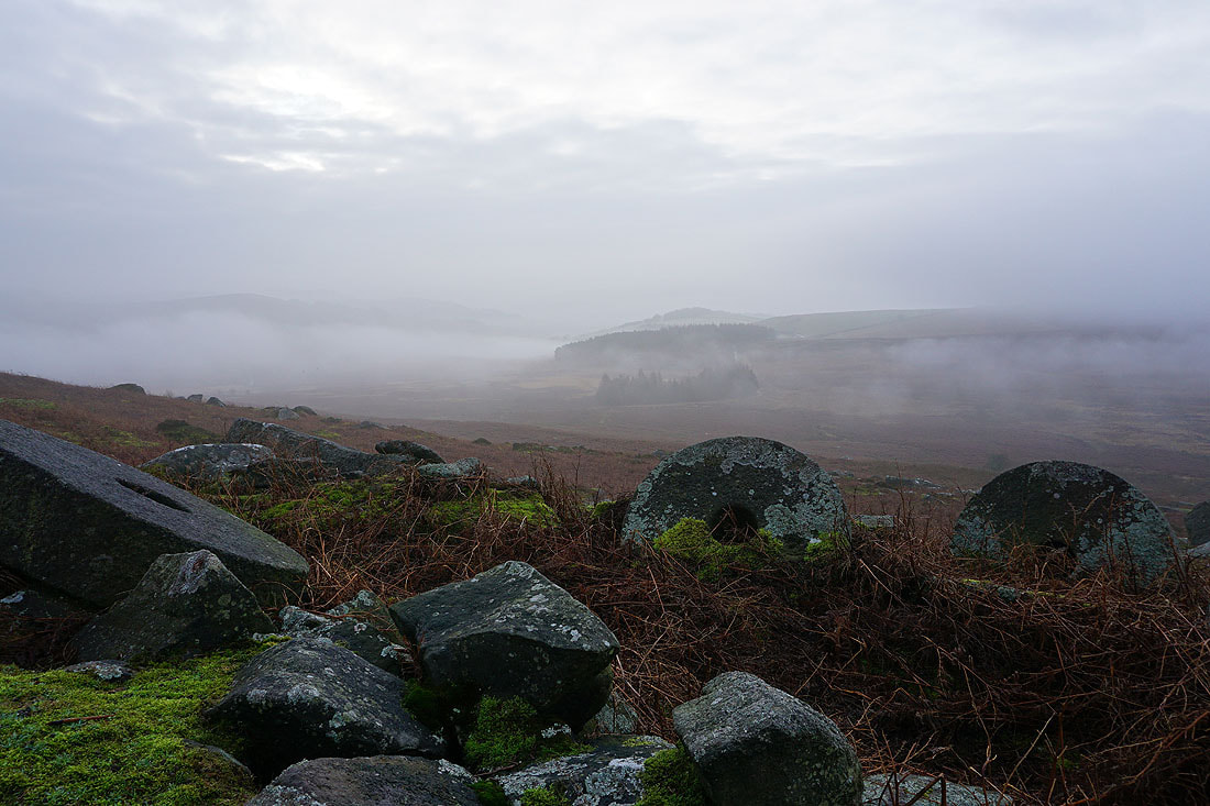
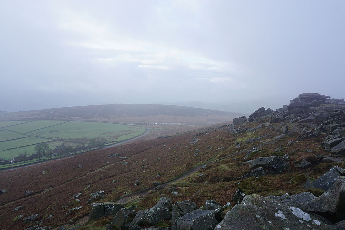
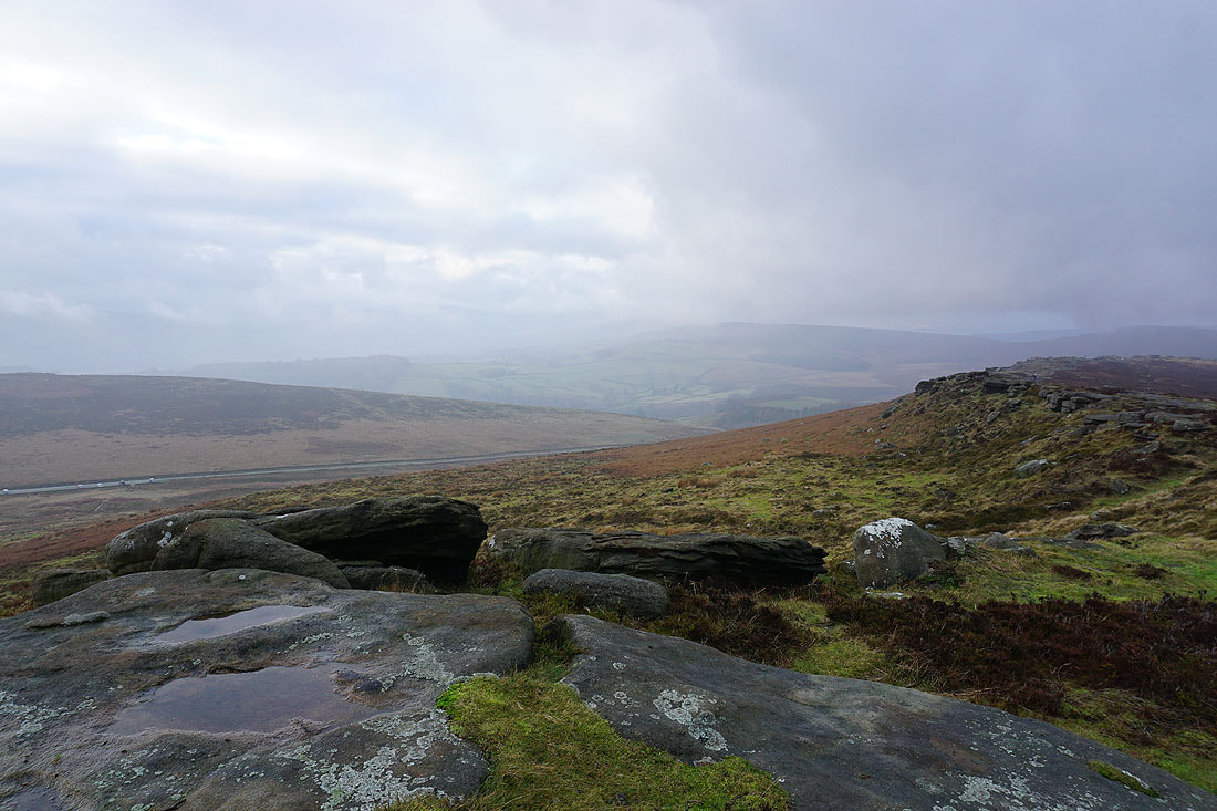
Moscar Moor and maybe the Derwent Moors on the other side of the A57
At the northern end of Stanage Edge. I can just about make out Moscar Cross Farm to the right on the other side of the A57.
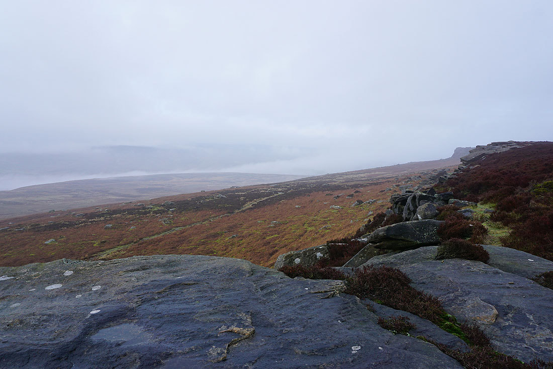
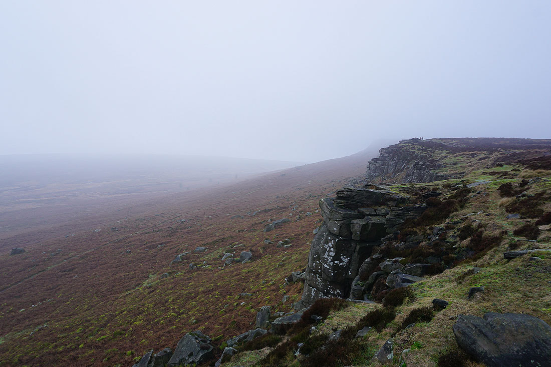
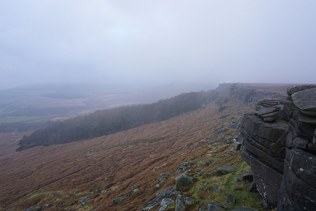
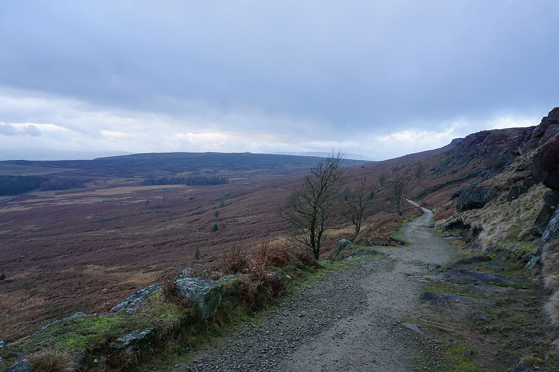
Looking south along Stanage Edge
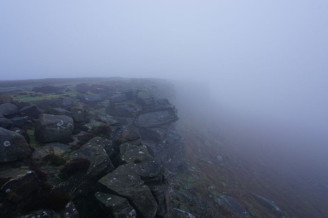
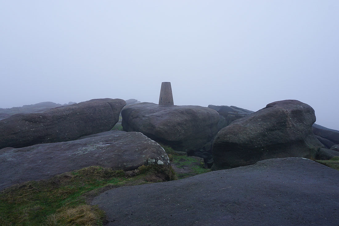
The fog has definitely thickened. I'm almost at the trig point on High Neb and I can't see it.
The trig point at High Neb..
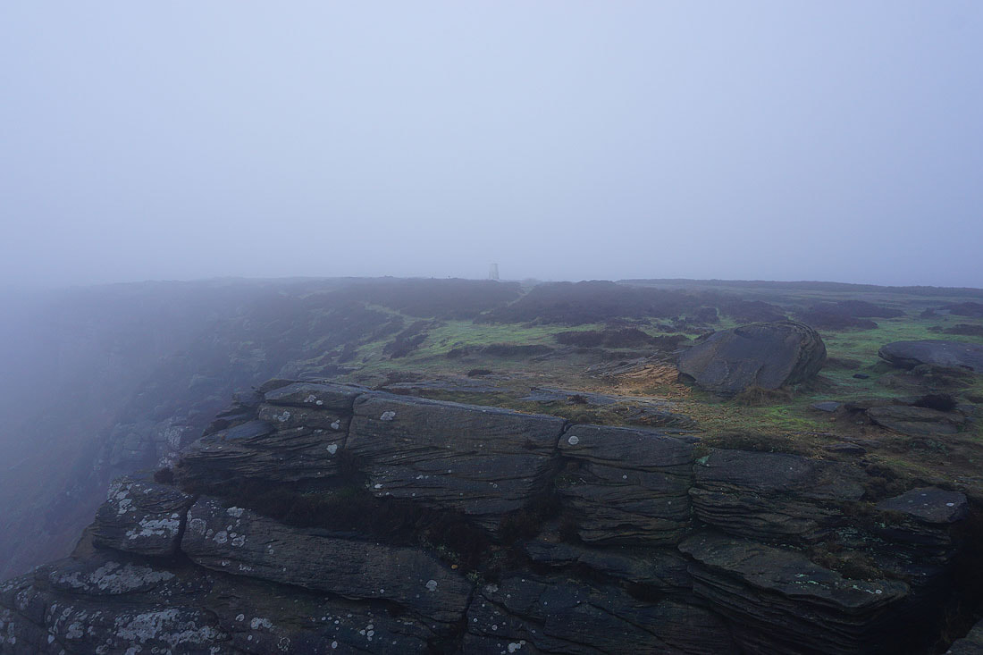
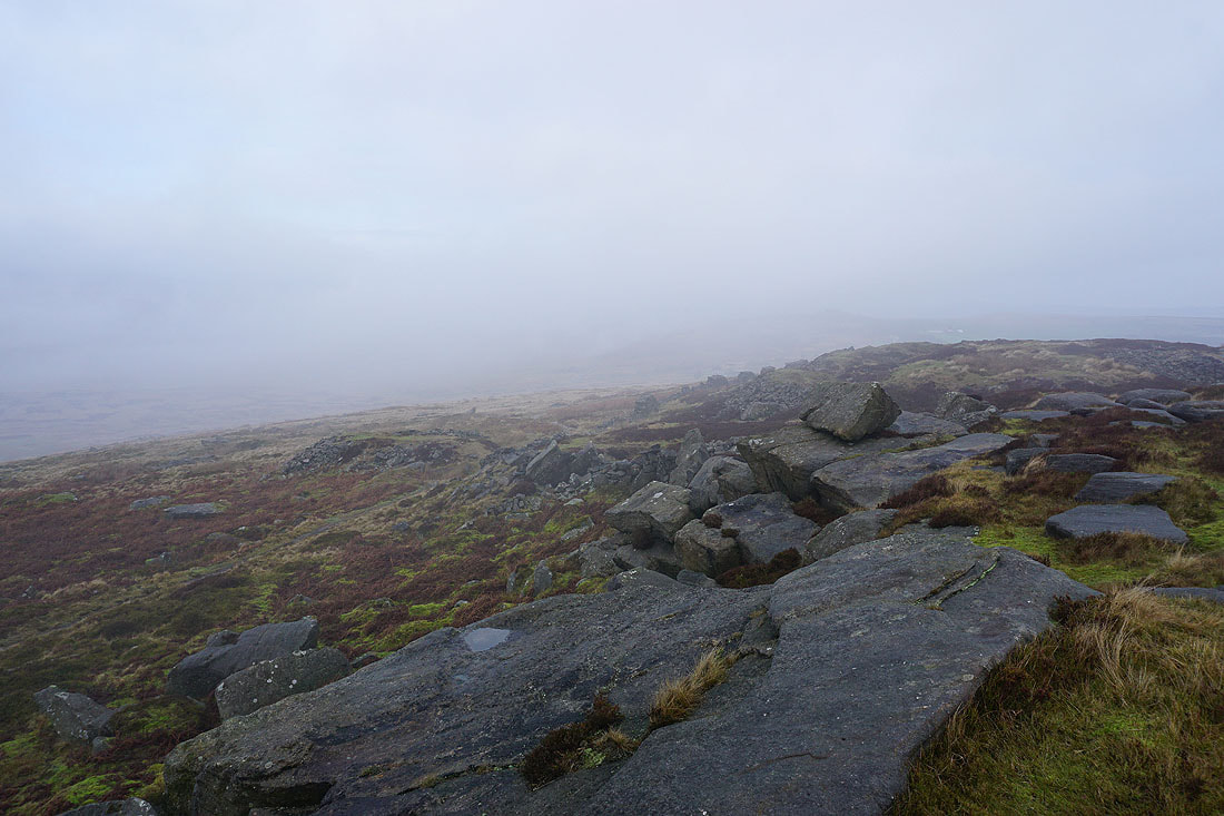
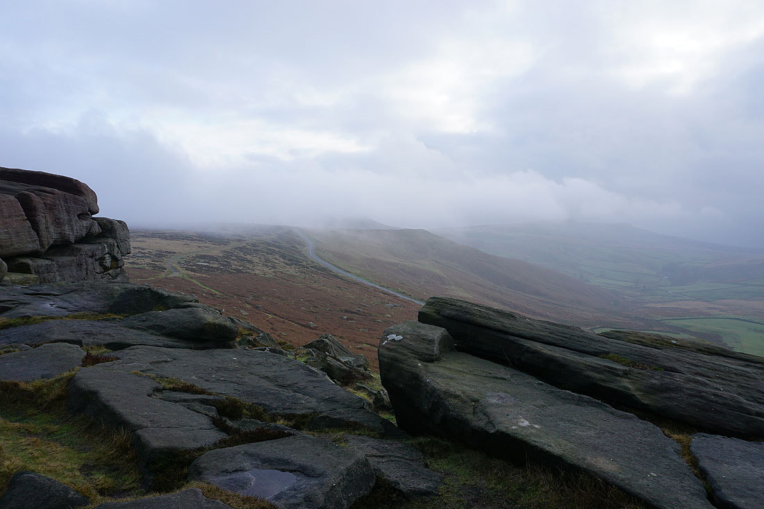
As I head further south along the edge the fog starts to clear a little..
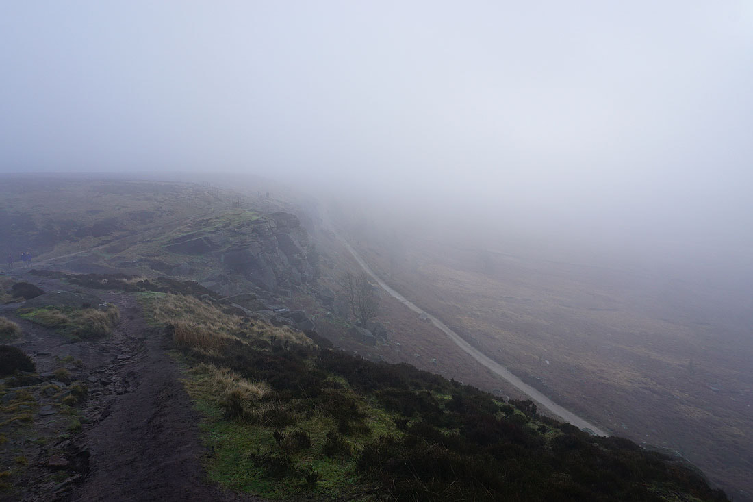
Approaching where the Long Causeway meets the edge
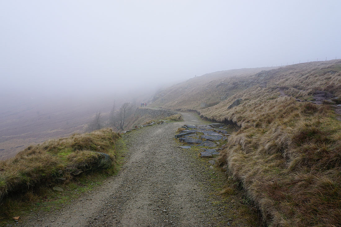
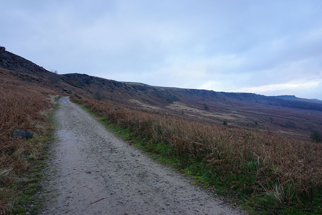
Looking down the Long Causeway
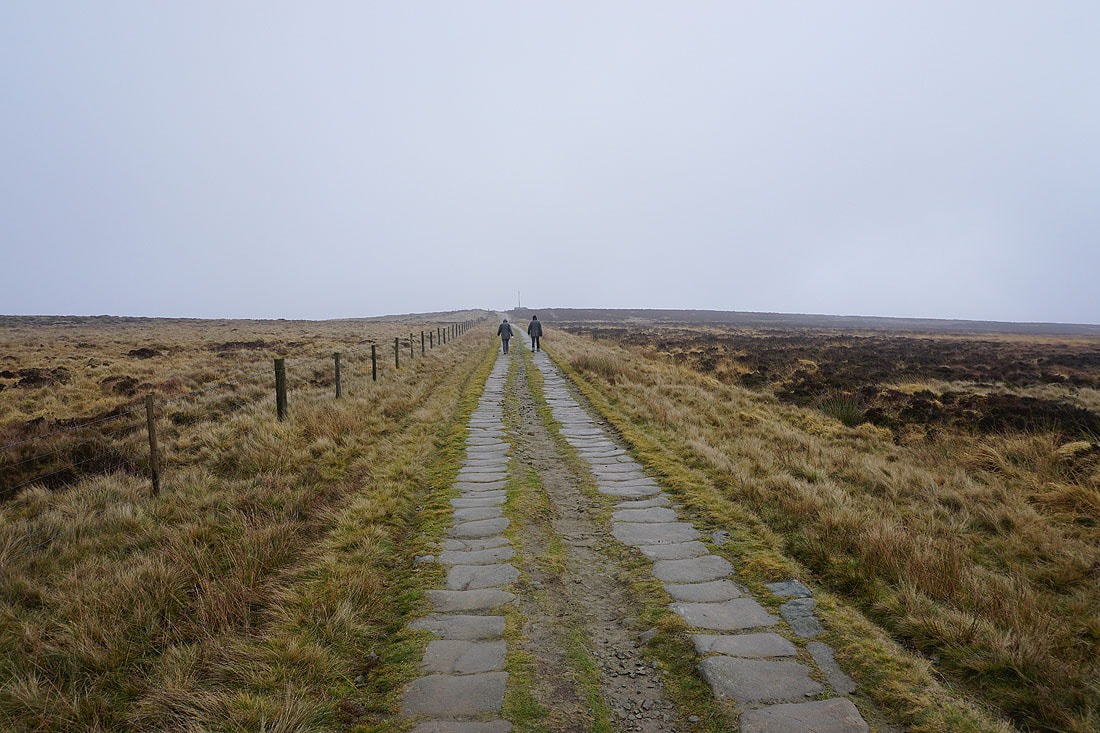
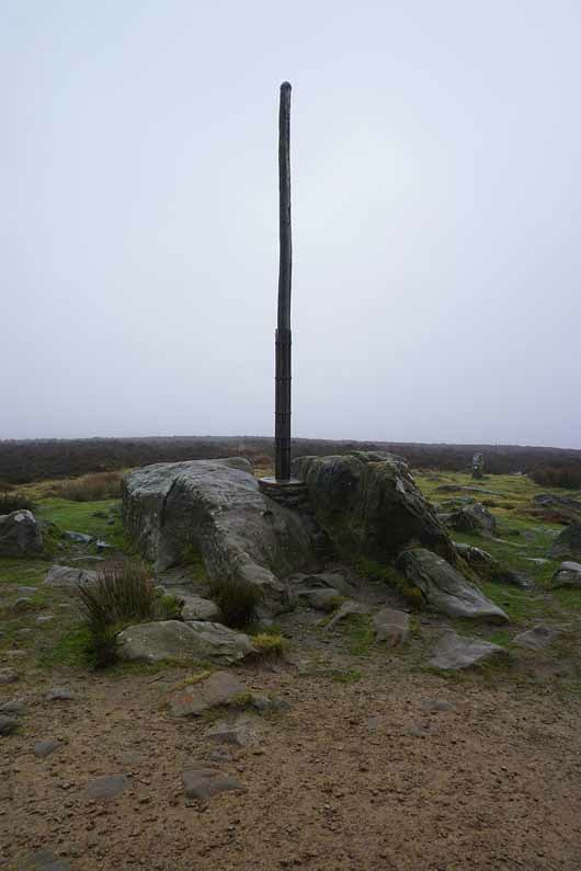
On the Long Causeway to Stanage Pole
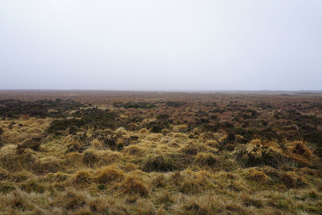
Moody and misty moors
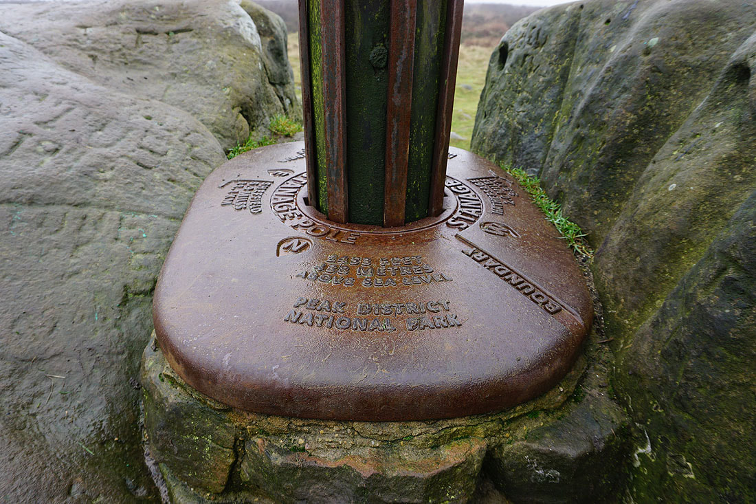
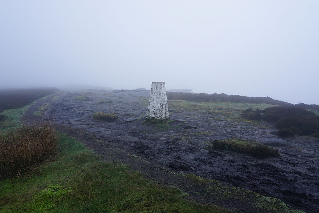
Stanage Pole marks the county boundary between Derbyshire and Yorkshire..
After lunch at Stanage Pole I'm back on the edge, and this is the view looking north
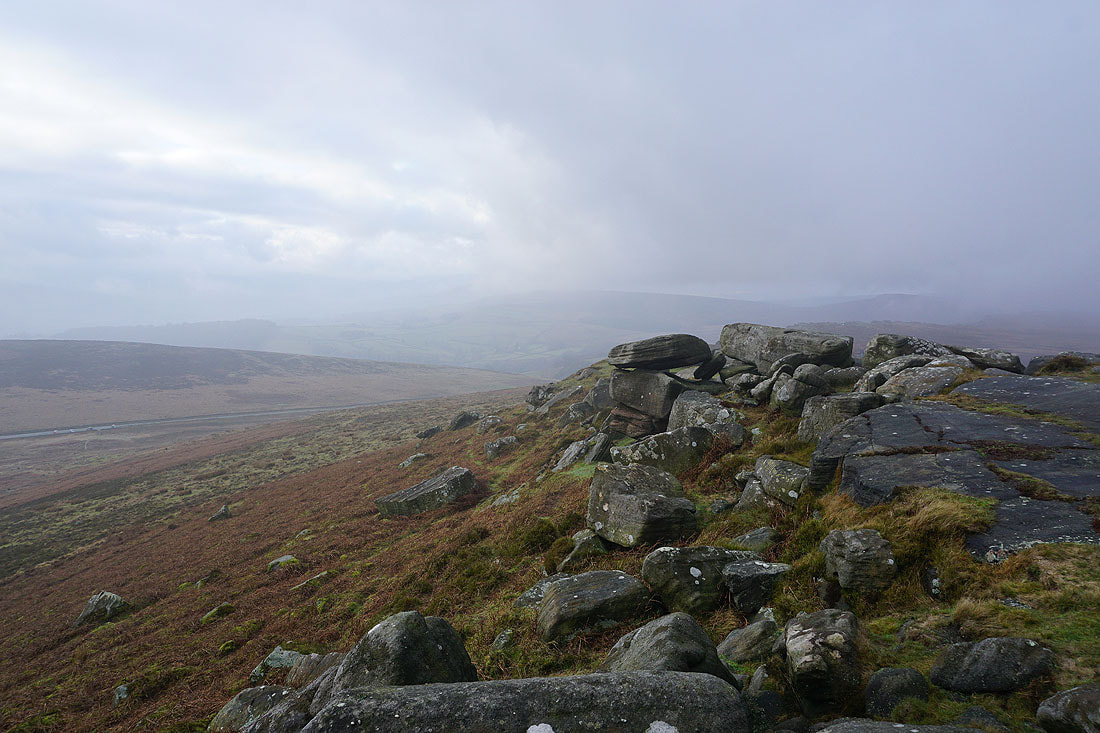
In the fog again at the trig point at the southern end of Stanage Edge
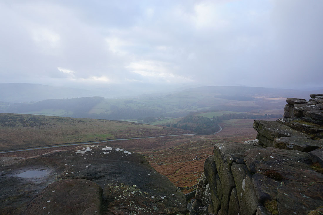
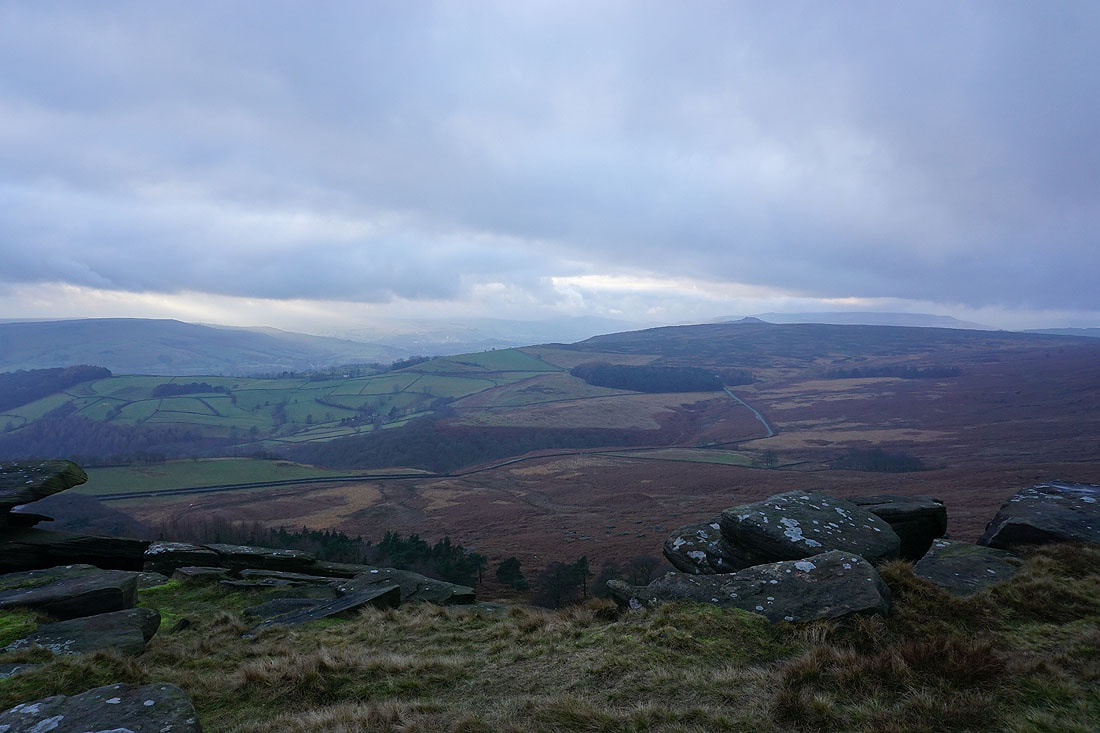
The visibility starts to improve while I'm here. Looking towards Carhead Rocks with Overstones Farm below.
Callow Bank and the road to Fiddler's Elbow. Higger Tor is still hidden in the fog.
Brightness in the sky looking northwest towards Bamford Moor..
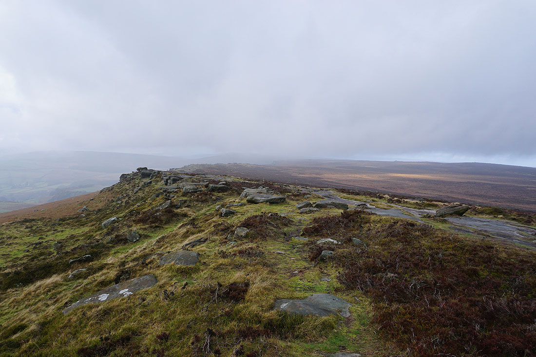
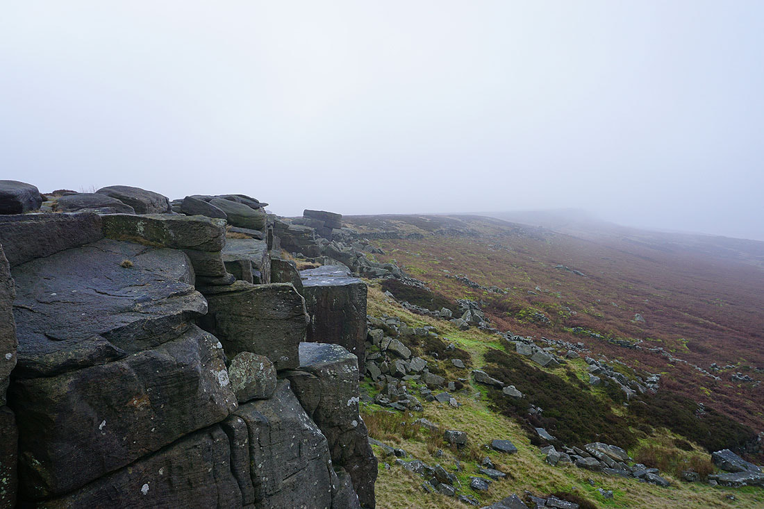
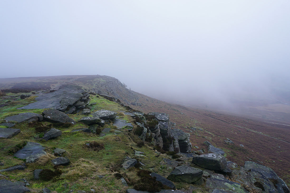
Looking north along Stanage Edge
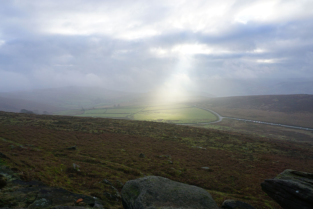
A searchlight illuminates the fields near Overstones Farm
Brighter skies over the Hope Valley
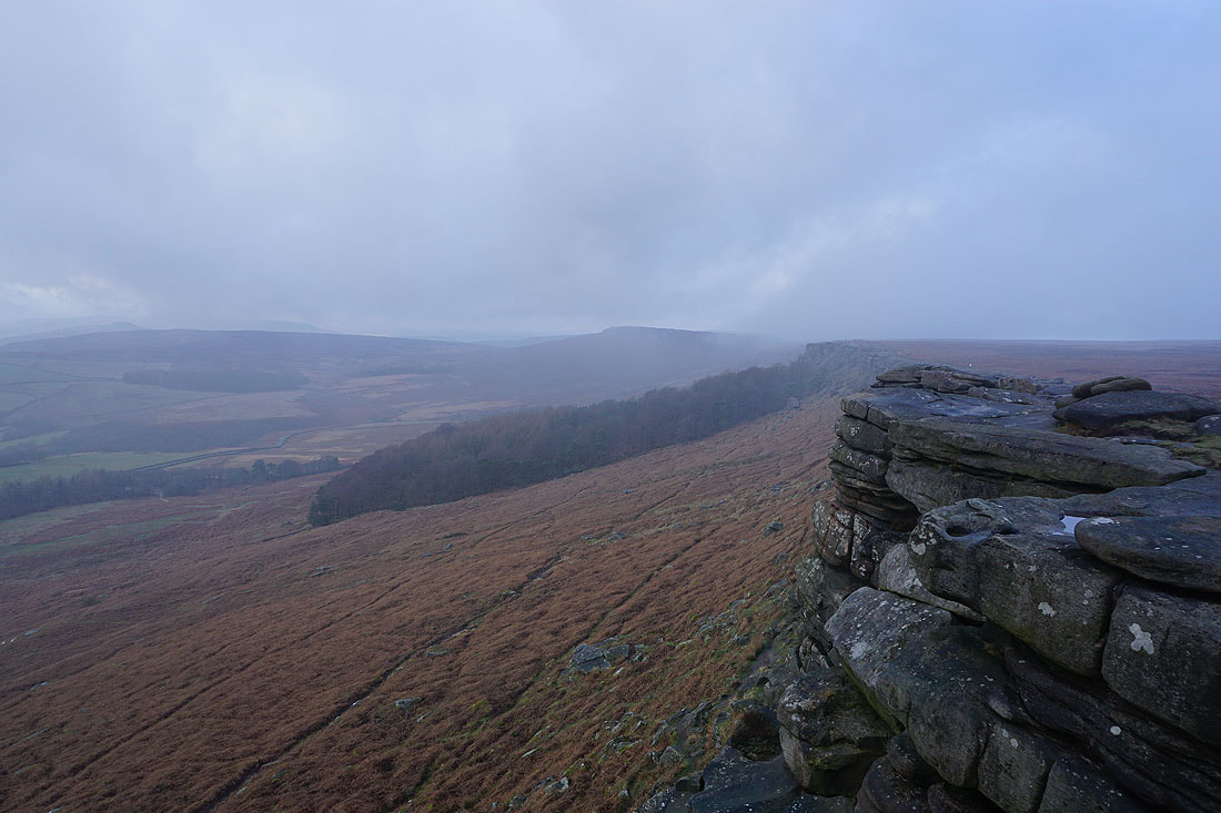
Looking north along Stanage Edge
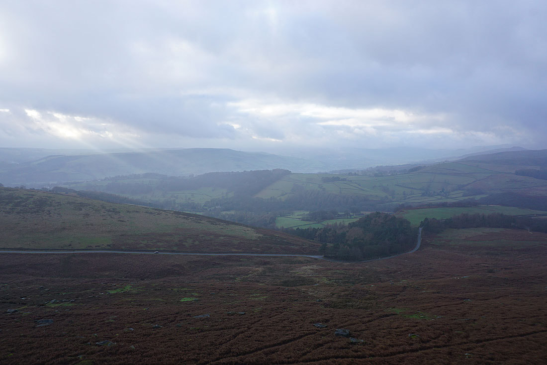
Shafts of sunlight over the Hope and Derwent Valleys....
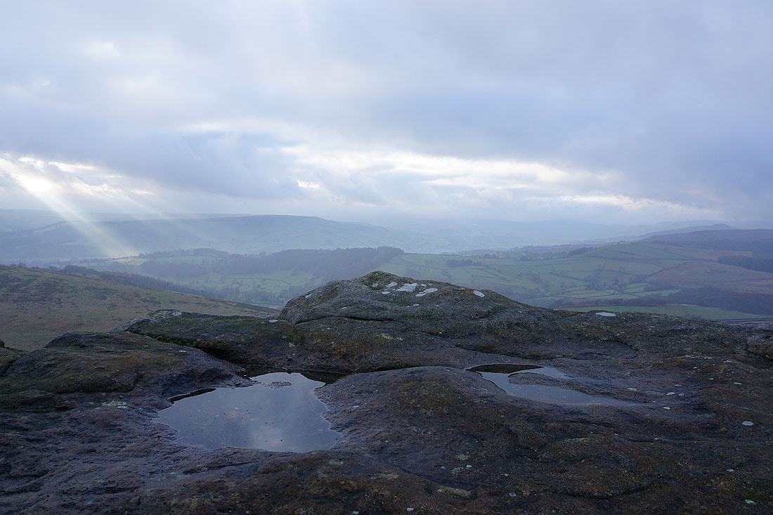
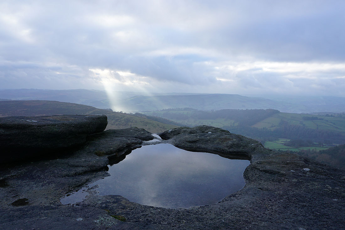
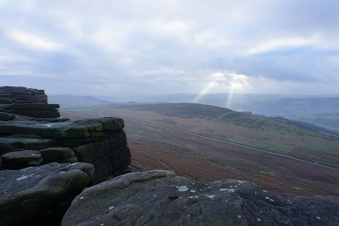
The visibility has improved enough for me to look up the Hope Valley, and make out the top of Win Hill and the eastern end of Kinder Scout
Back down the Long Causeway
Looking back to Stanage Edge
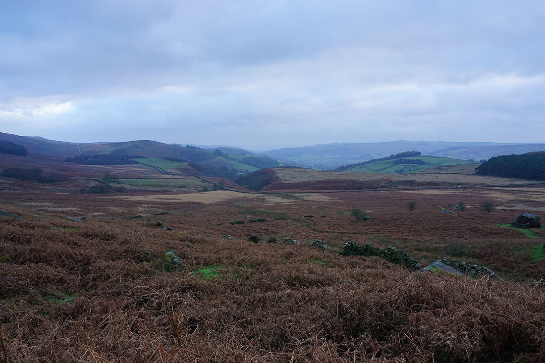
A last shot looking down the Derwent Valley from the Long Causeway