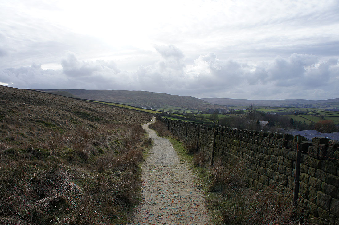
27th February 2015 - Stoodley Pike
Walk Details
Distance walked: 7.3 miles
Total ascent: 978 ft
OS map used: OL21 - South Pennines
Time taken: 5 hrs
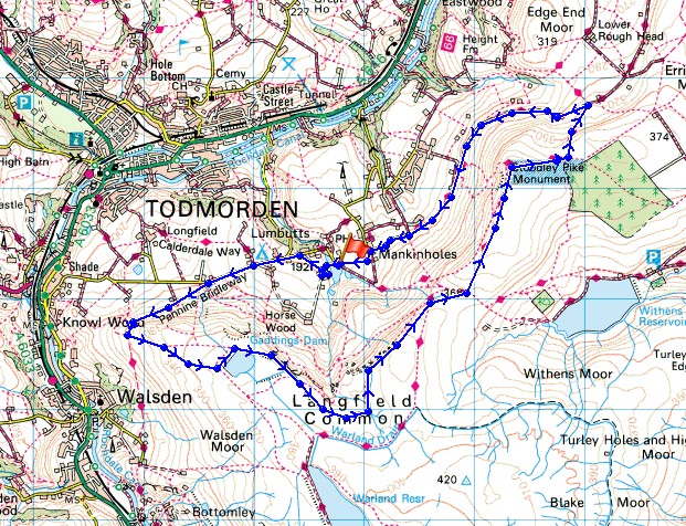
Route description: Lumbutts-Pennine Bridleway-Basin Stone-Gaddings Dam-Langfield Edge-Pennine Way-Stoodley Pike-Pennine Way-Pennine Bridleway-Lumbutts
The day dawned grey this morning but when it started to brighten up I decided to head across to Calderdale for a walk. I had two routes in mind but chose Stoodley Pike on the drive over and I ended up doing the other walk the following week. There were increasing amounts of sunshine during the afternoon which made for some great views across the moors but with a freshening wind which made it feel pretty cold.
I started my walk by parking on the road outside the church in Lumbutts. I then took the bridleway past Lee Dam and Lee Farm to join the road again, for a walk uphill to reach the Pennine Bridleway opposite the Shepherds Inn. I made my way up the hillside of Rake End before turning left to head uphill past the Basin Stone to Gaddings Dam. After walking around Gaddings Dam I took the path along Langfield Edge and around Coldwell Hill to join the Pennine Way to reach Stoodley Pike. I then made my way back to Lumbutts by following the Pennine Way to its junction with the Pennine Bridleway, the latter taking me back to the road I was parked on.
Route map
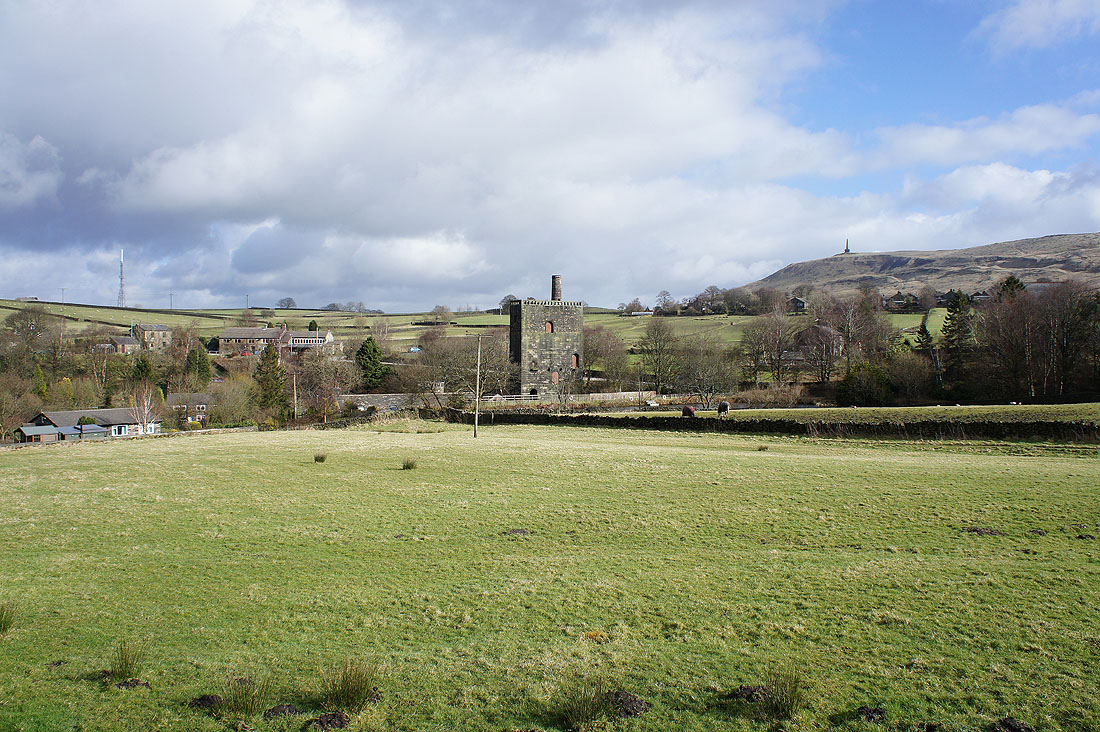
It's brightening up nicely as I walk through Lumbutts
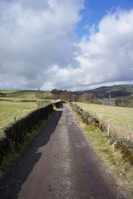
On the bridleway past Lee Farm in Lumbutts and then onto the Pennine Bridleway
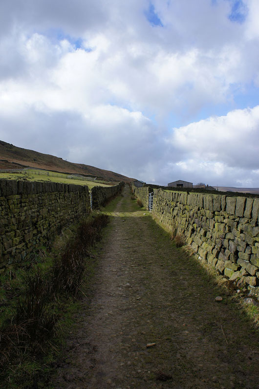
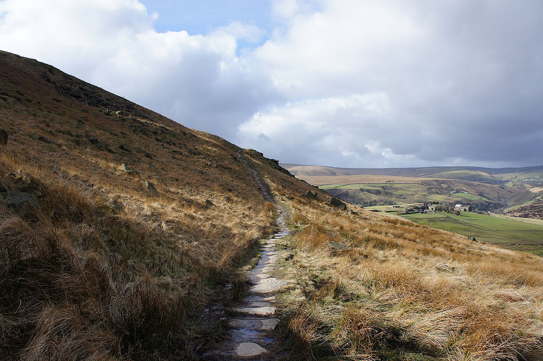
Which heads up the hillside of Rake End
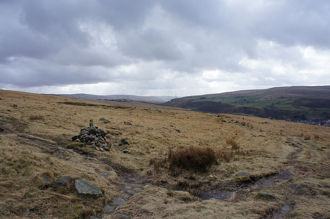
This cairn and marker post is my cue to head uphill to Gaddings Dam
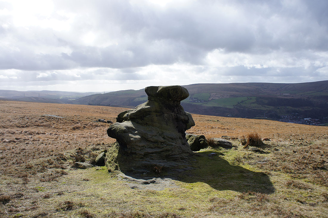
But first, a stop at the Basin Stone
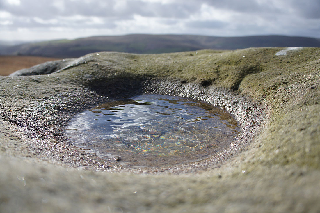
Its basin
and the view across to Todmorden Moor
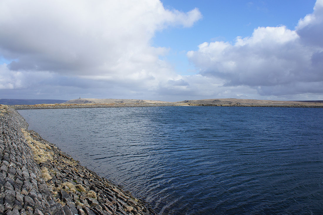
At a windswept Gaddings Dam
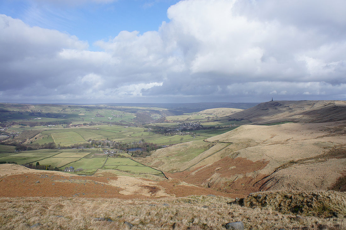
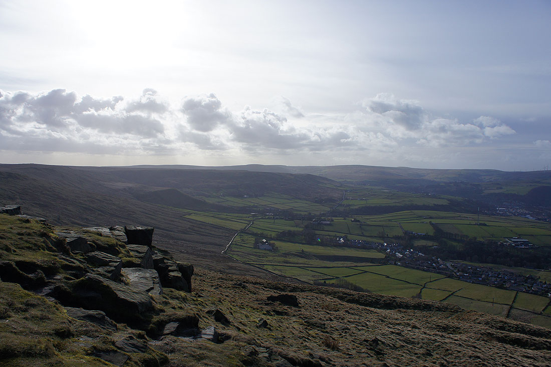
There are great views of Calderdale and Stoodley Pike as I follow Langfield Edge. It was also a good place to stop and have my lunch.
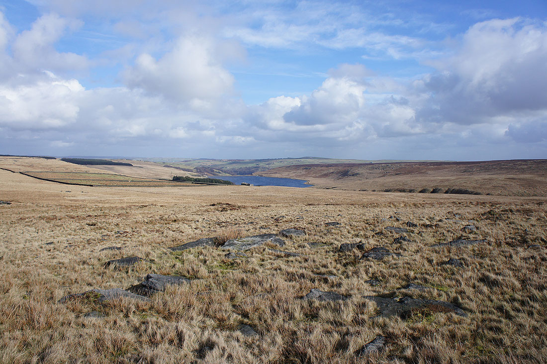
Withens Clough Reservoir as I join the Pennine Way at Withens Gate
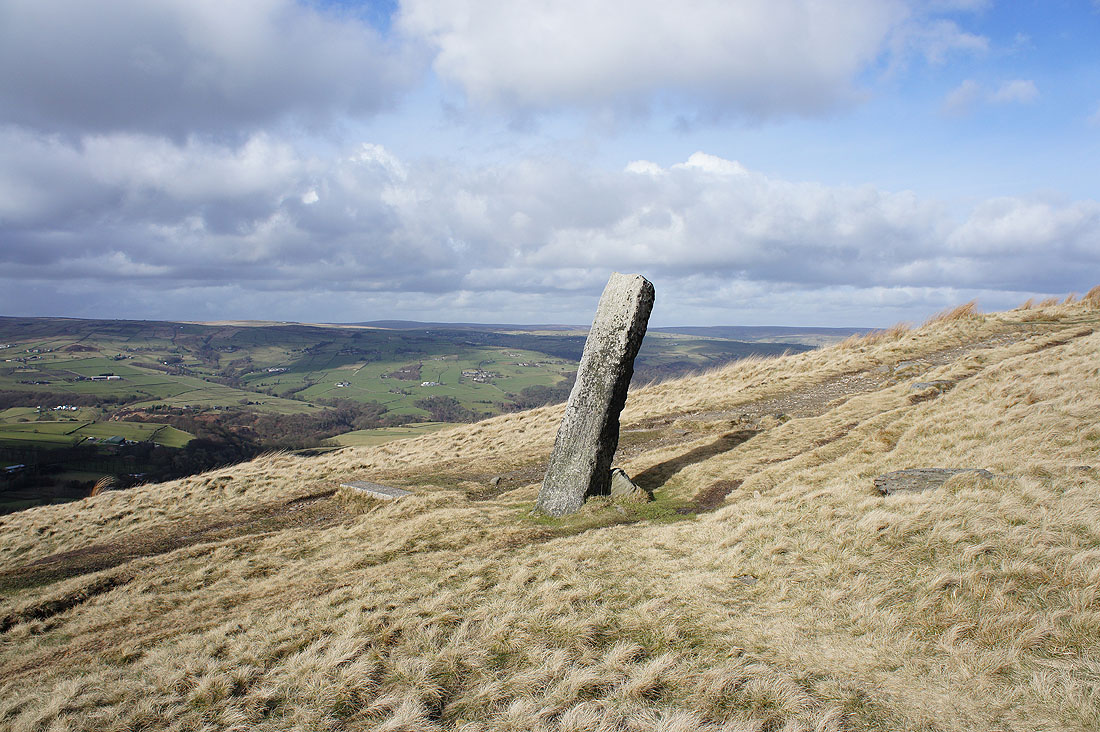
The Long Stoop guide stone
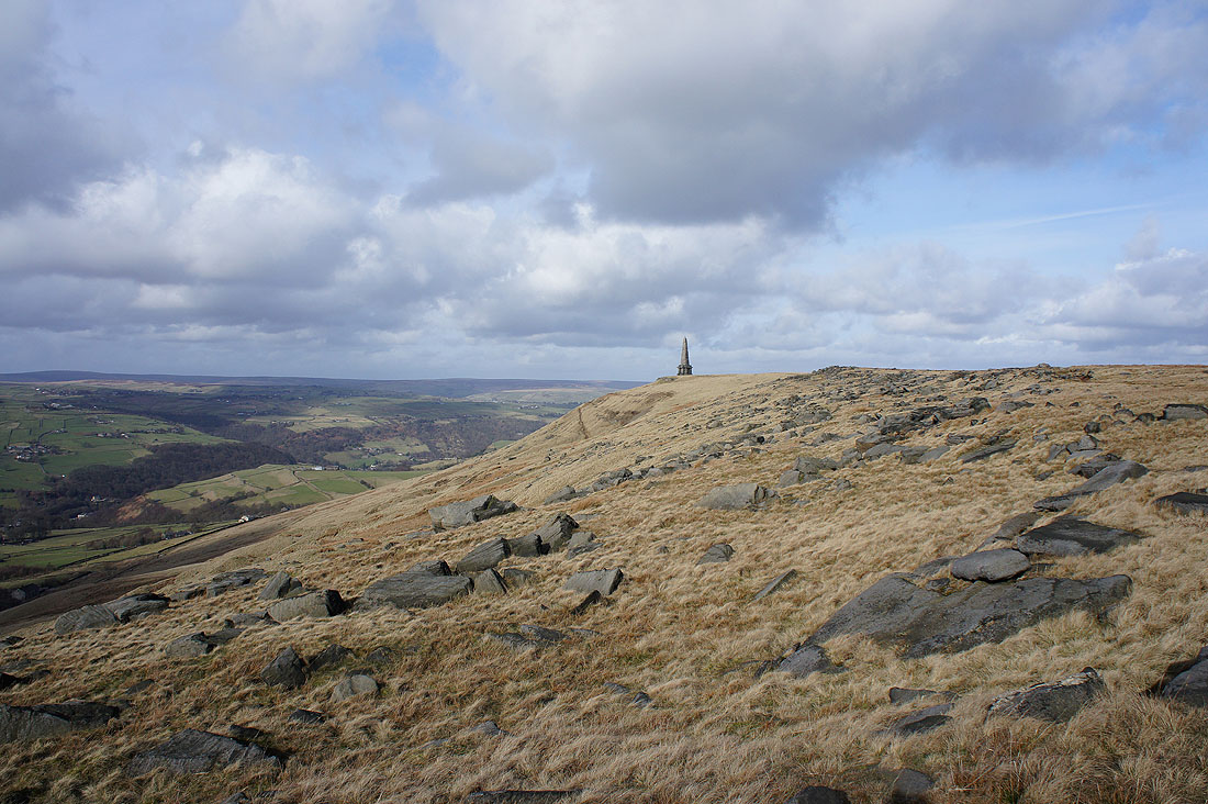
Stoodley Pike is getting closer at last
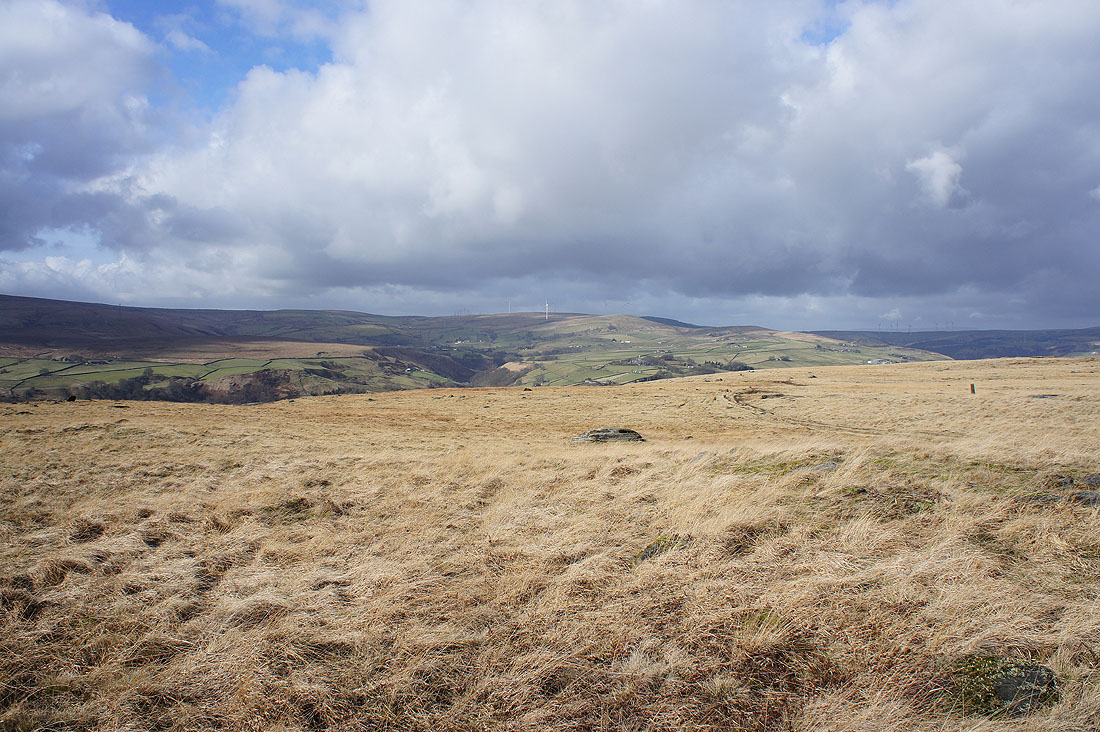
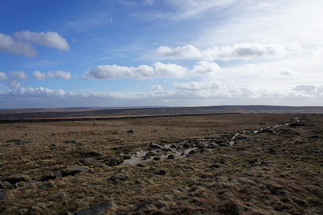
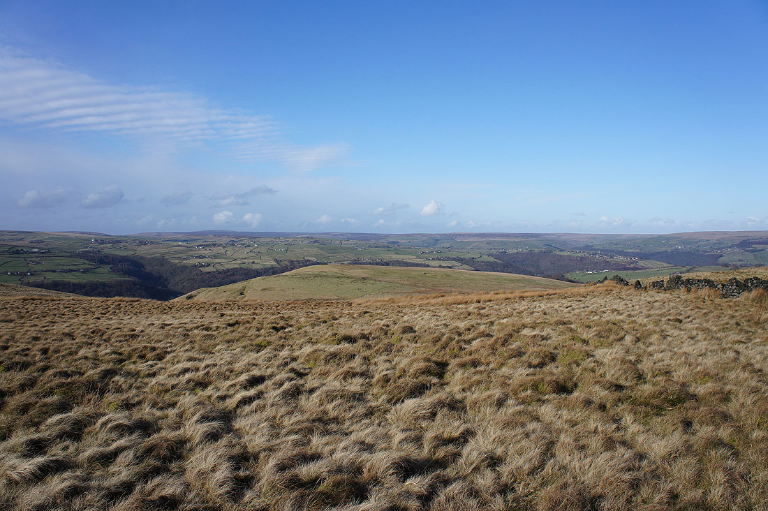
Sunny South Pennine moors
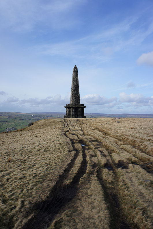
The final approach to the Stoodley Pike monument
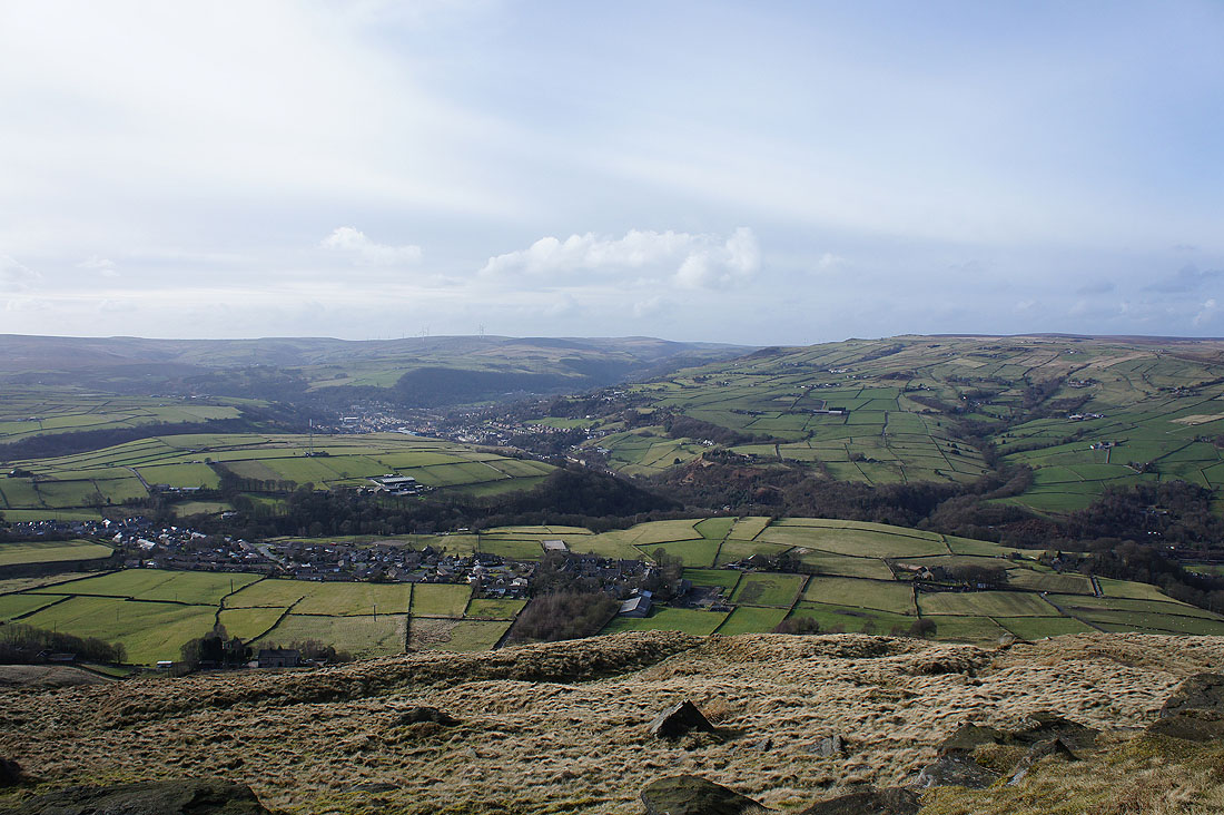
It was very windy on the moor edge as I took in the view. Looking down on Todmorden and Calderdale and across to Bride Stones Moor.
The wooded valley of Jumble Hole Clough on the other side of Calderdale
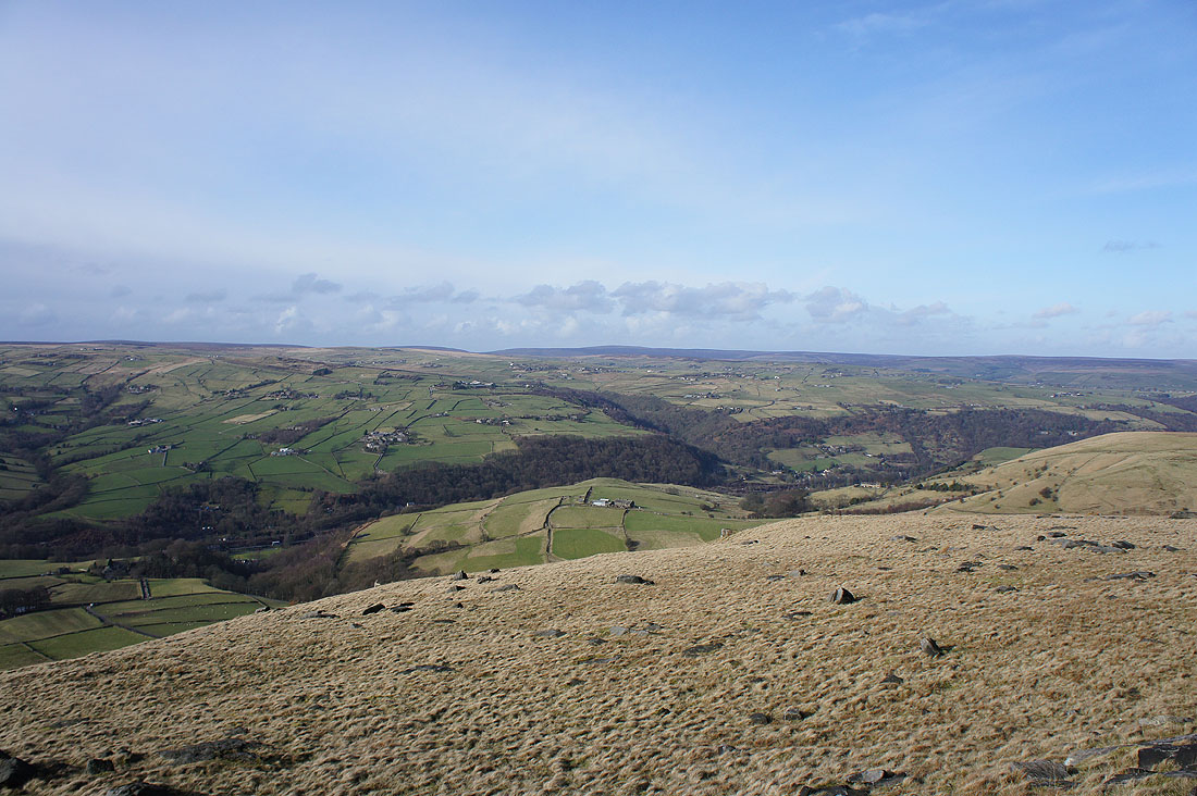
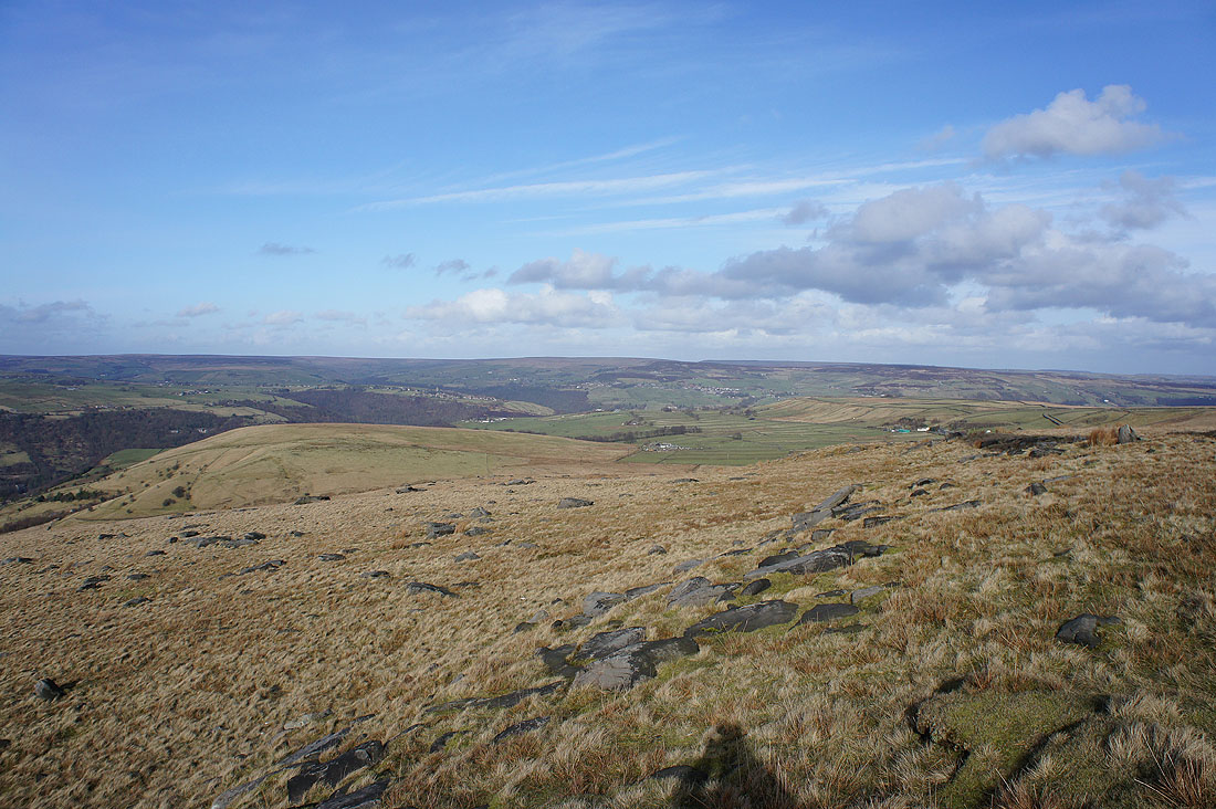
The moorland around Hebden Bridge to the northeast
Looking across to Langfield Edge
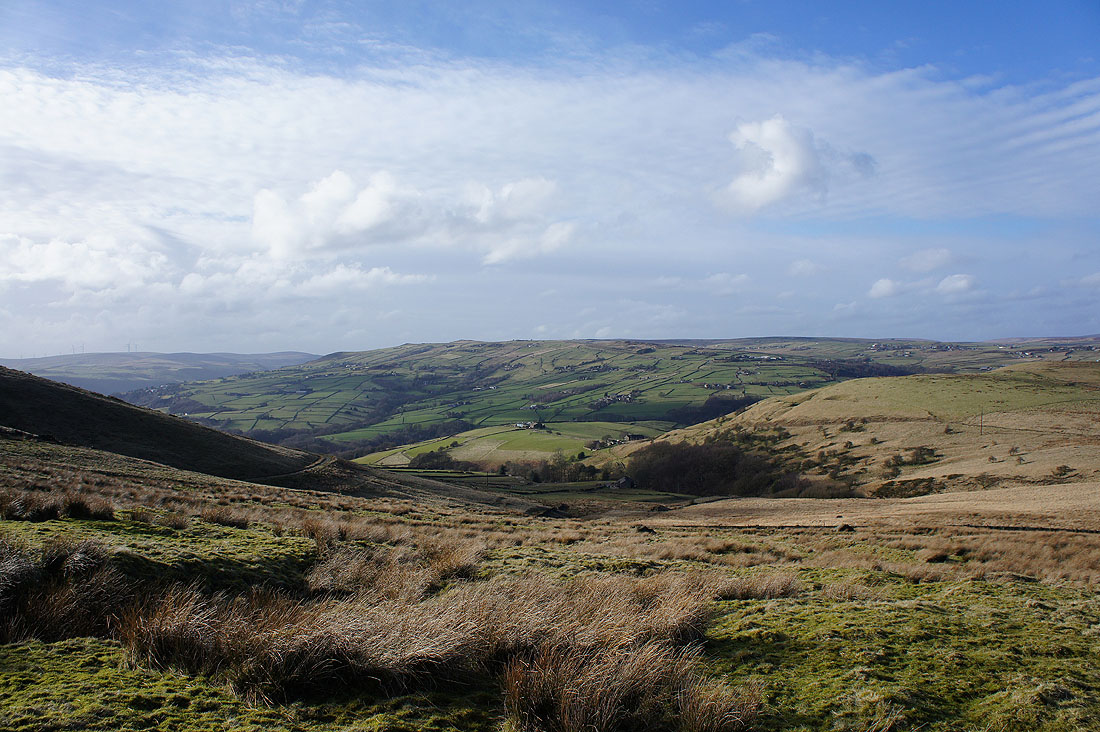
Nice views across Calderdale as I follow the Pennine Way..
The hillside village of Heptonstall really stands out on the other side of the valley
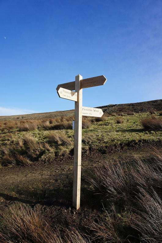
A new signpost marks the junction of the Pennine Way with the Pennine Bridleway
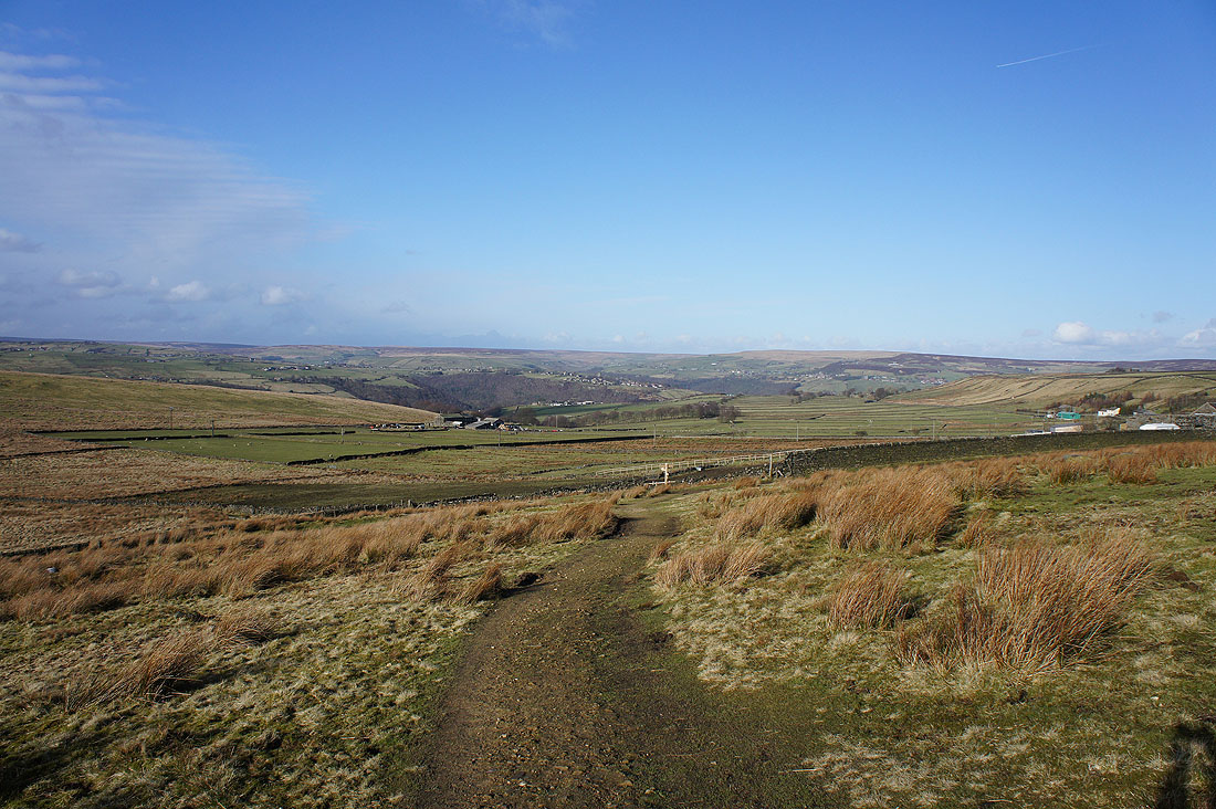
The track of London Road will take me across the hillside and back to Lumbutts
