27th January 2019 - Airton to Weets Top and back
Walk Details
Distance walked: 8.9 miles
Total ascent: 1429 ft
OS map used: OL2 - Yorkshire Dales, Southern & Western areas
Time taken: 5 hrs
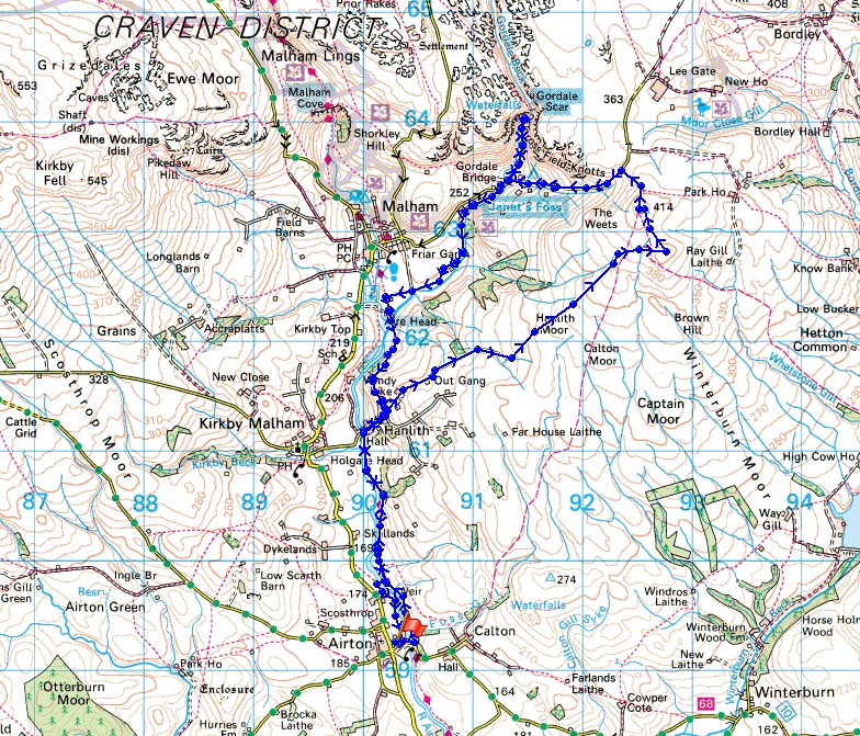
Route description: Airton-Pennine Way-Hanlith Bridge-Hanlith-Windy Pike Lane-Hanlith Moor-Weets Top-Hawthorns Lane-Gordale Scar-Gordale Bridge-Janet's Foss-Mires Barn-Pennine Way-Hanlith-Pennine Way-Airton
Just a week after my last visit and I find myself heading for the summit of Weets Top again. This wasn't intentionally planned but with a very windy day forecast I had to try and work out a route where I wouldn't go too high up. So, I decided to do a walk to its top from somewhere that I hadn't started from before, the village of Airton. My outbound route to the summit was the one I had planned but I ended up changing my route back. By the time I'd reached the trig point on Weets Top I'd had enough of battling with the wind and opted for a lower level route back via Gordale Scar and the Pennine Way instead of the bridleway across Calton Moor and down to Calton. I'm glad I changed my mind, it's never a bad idea to visit Gordale Scar and Janet's Foss. The day was a mixture of cloudy spells with welcome bursts of sunshine and an ever present strong wind, which only got stronger the high up I went.
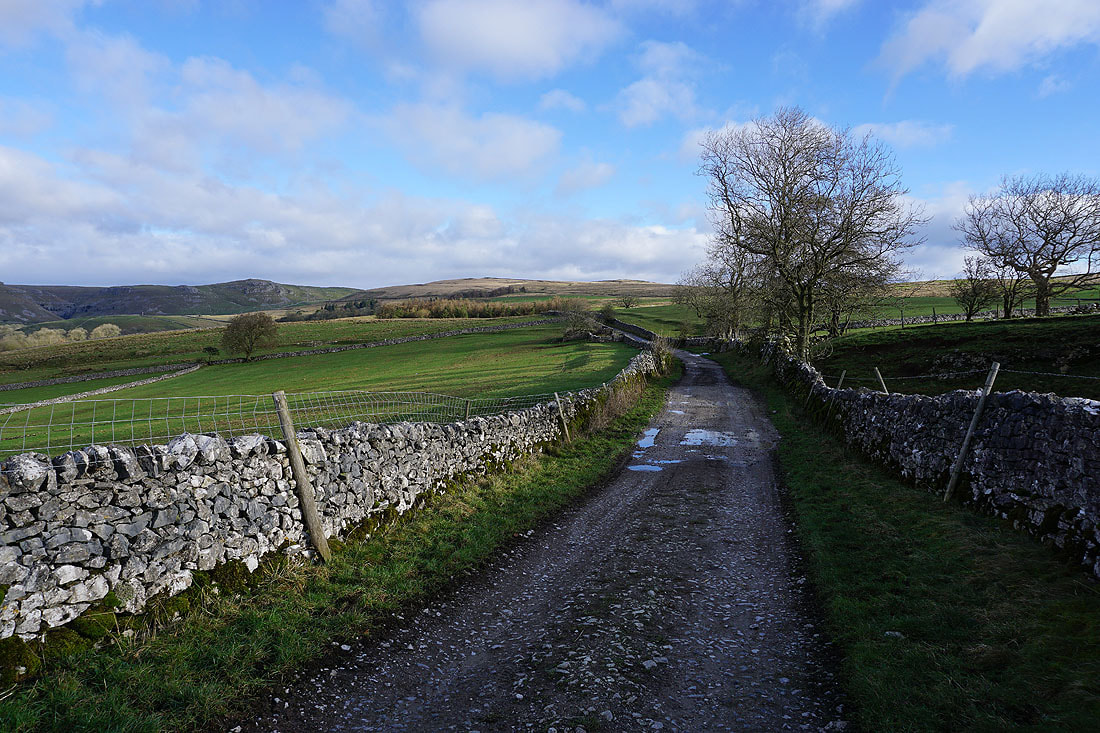
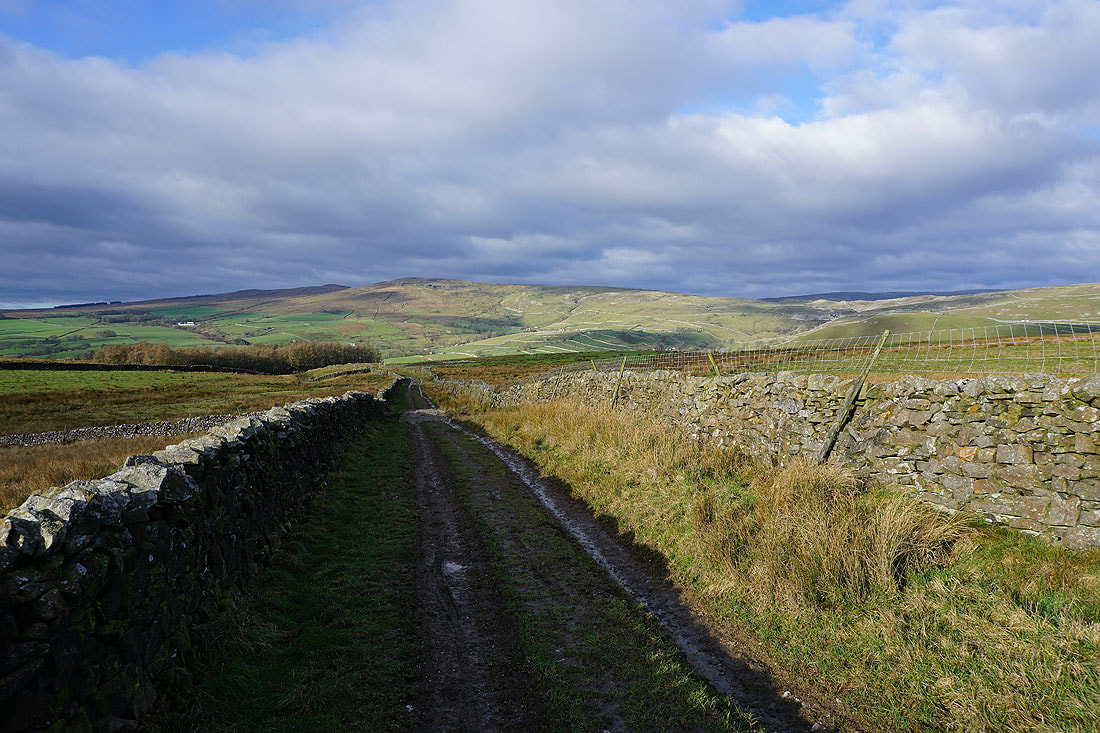
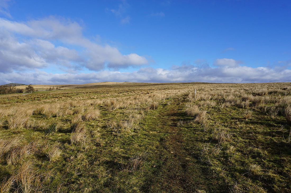
After parking in Airton I walked down Calton Lane to the bridge over the River Aire. From there I took the trail of the Pennine Way north to Hanlith Bridge and up into the hamlet of Hanlith. The trail was left behind here as I walked up Windy Pike Lane and onto the bridleway up and across Hanlith Moor and to the top of Hetton Common Head. From Hetton Common Head there's just a short walk to the trig point on Weets Top. After having lunch in the shelter of the wall I took the bridleway down to Hawthorns Lane and then walked down Hawthorns Lane to Gordale Bridge. On returning to Gordale Bridge after having a look at Gordale Scar I took the path to the waterfall of Janet's Foss and to Mires Barn where it meets the Pennine Way. I then followed the Pennine Way south back to Hanlith and Hanlith Bridge and then towards Airton. Just before reaching Airton I crossed the River Aire via a footbridge and returned to Airton by the path along the west bank of the river to Airton Mill.
Route map
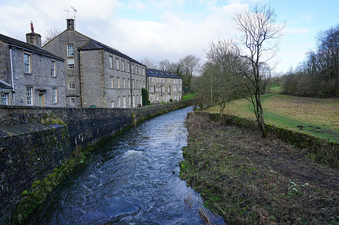
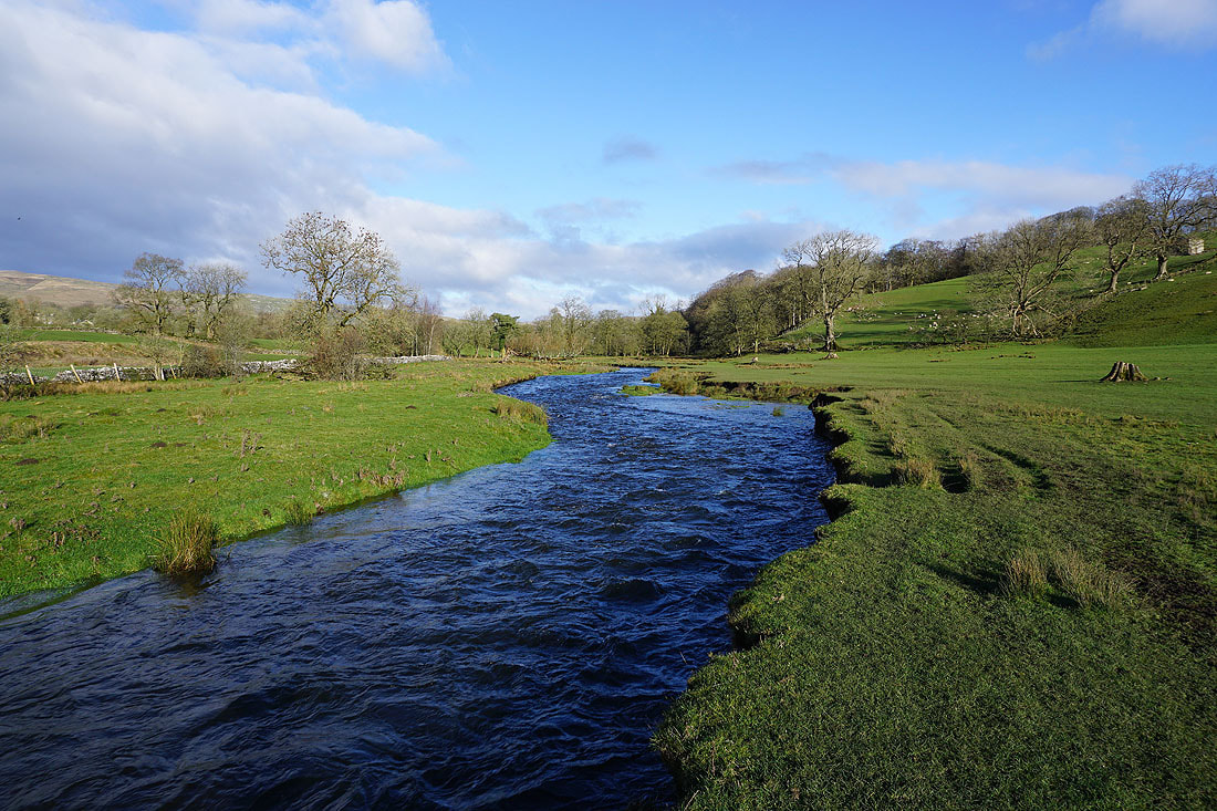
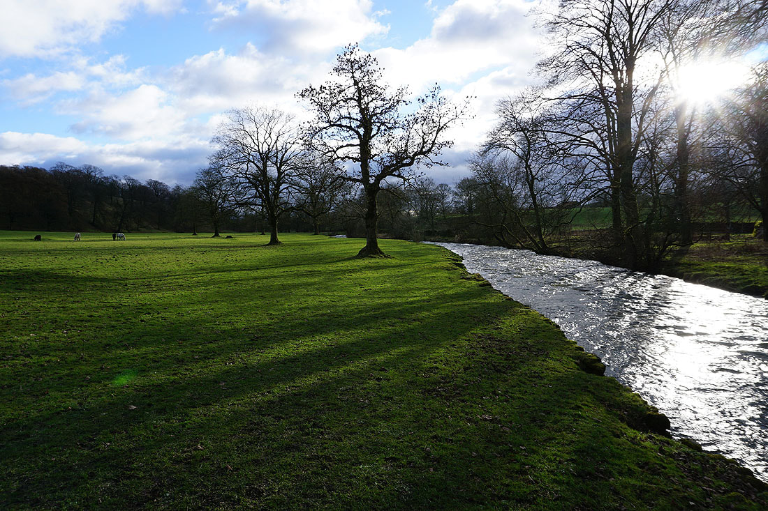
Airton Mill (now apartments) next to the River Aire, taken from the bridge over the river
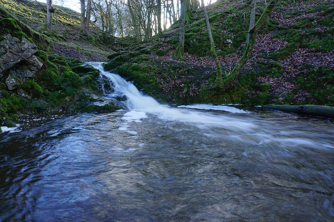
Little waterfall on Foss Gill
Following the Pennine Way north to Hanlith..
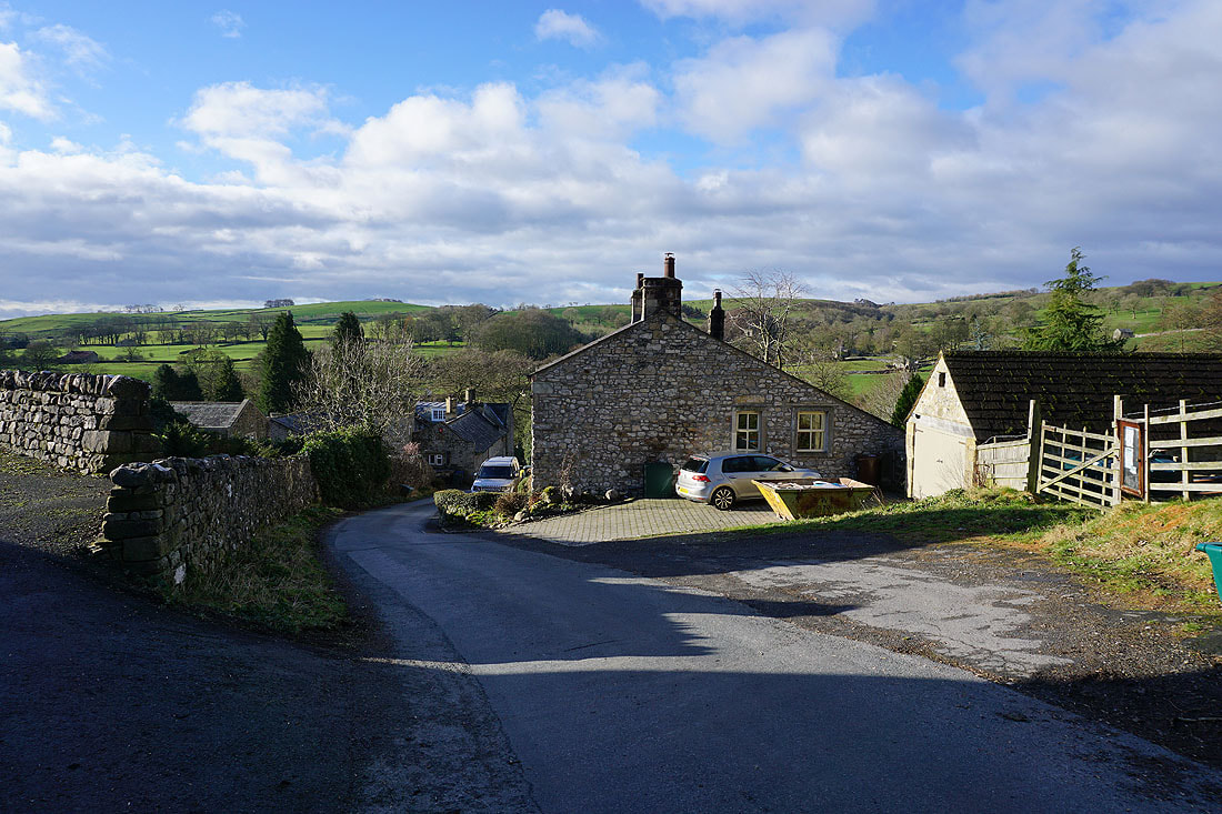
Hanlith as I walk up Windy Pike Lane
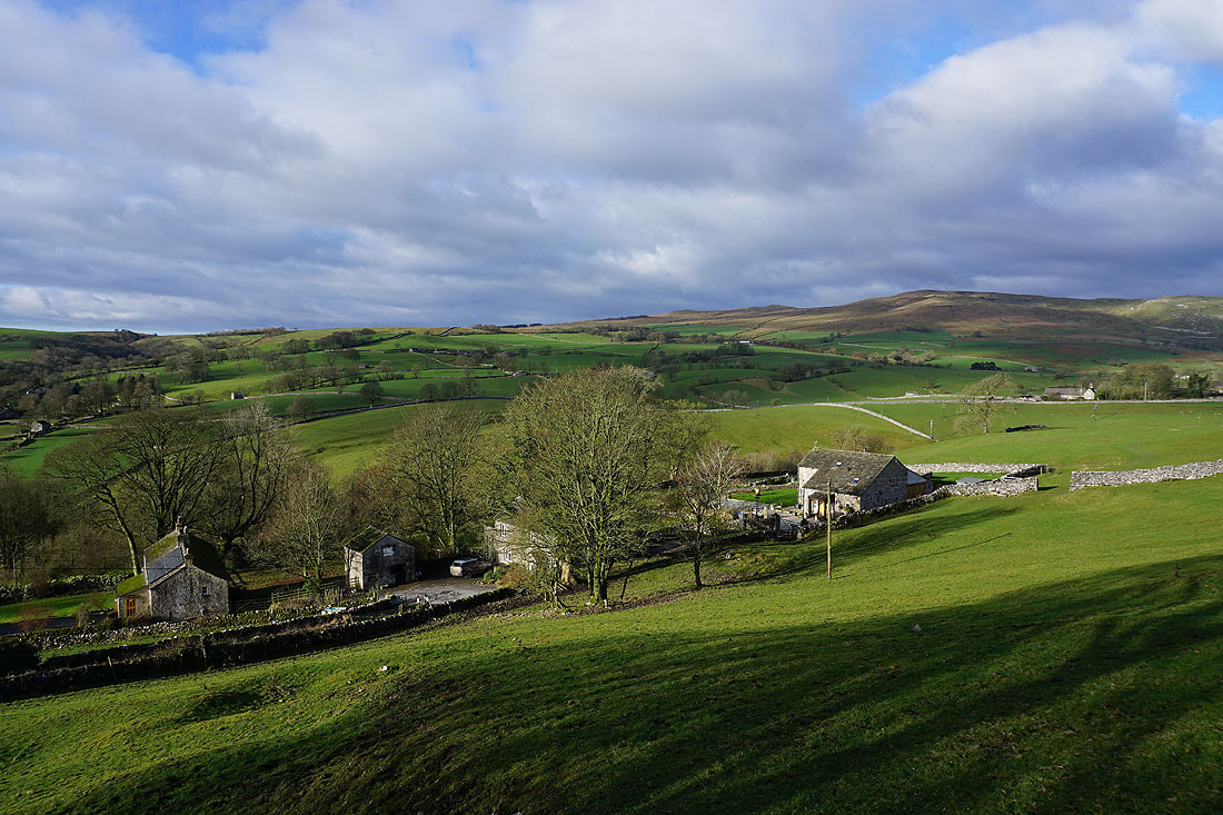
and looking across Malhamdale to Kirkby Fell
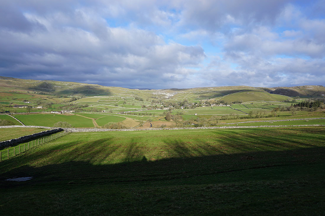
There's also a fantastic view north to Malham and Malham Cove from Windy Pike Lane
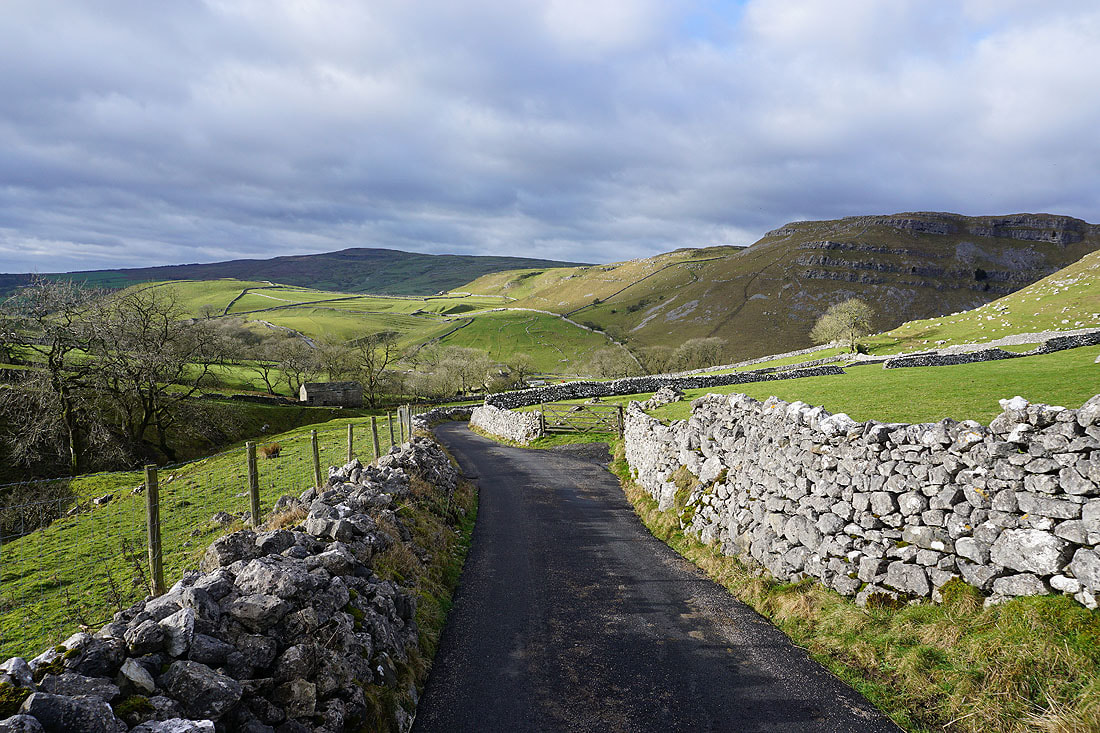
Heading up Windy Pike Lane
Views across to Kirkby Fell..
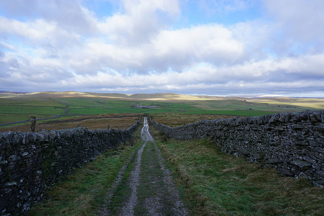
On the bridleway up Hanlith Moor
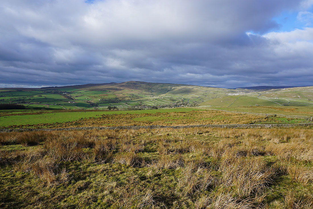
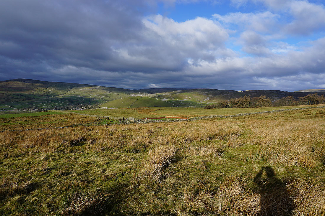
Kirkby Fell, Malham, and the limestone scars between Malham Cove and Gordale Scar
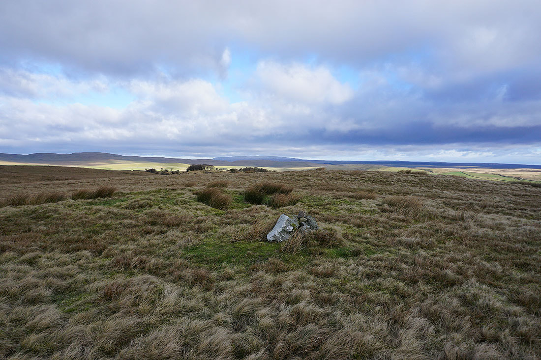
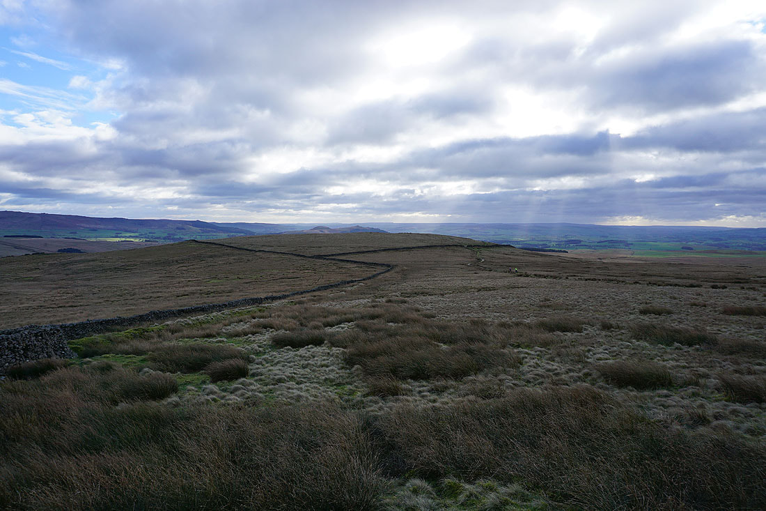
On Hetton Common Head and Great Whernside in the distance with a dusting of snow on its top
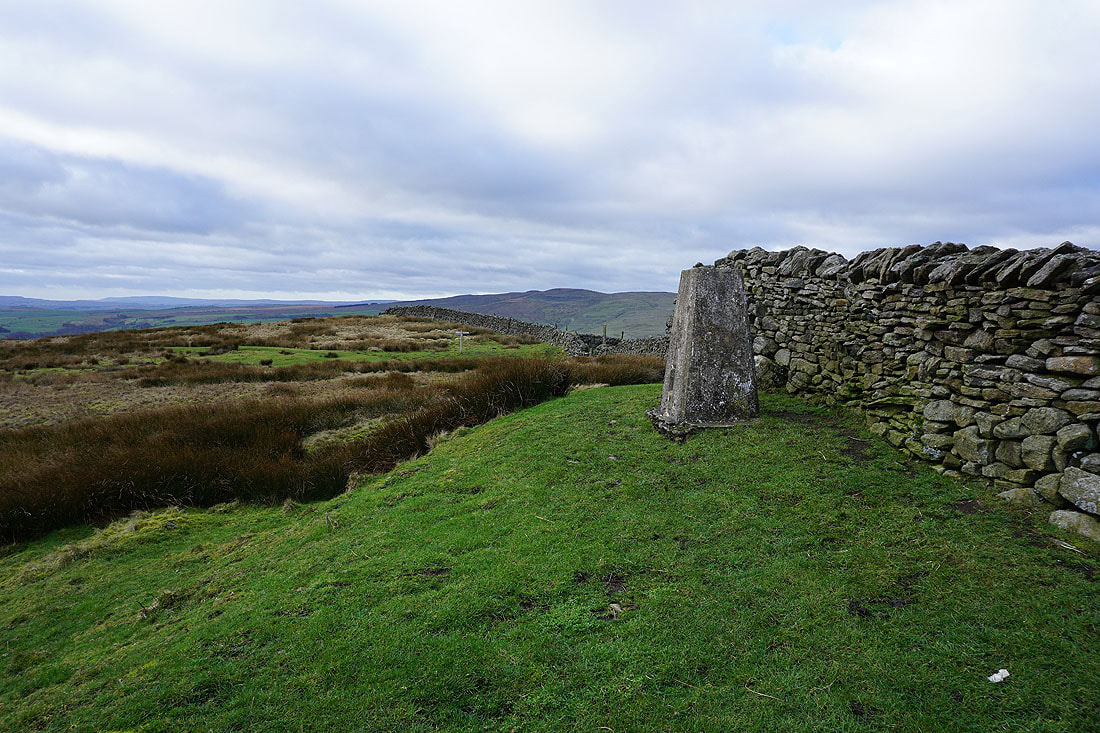
At the trig point on Weets Top and I can finally get out of the wind and take a break
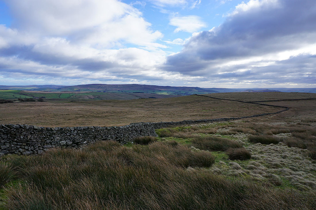
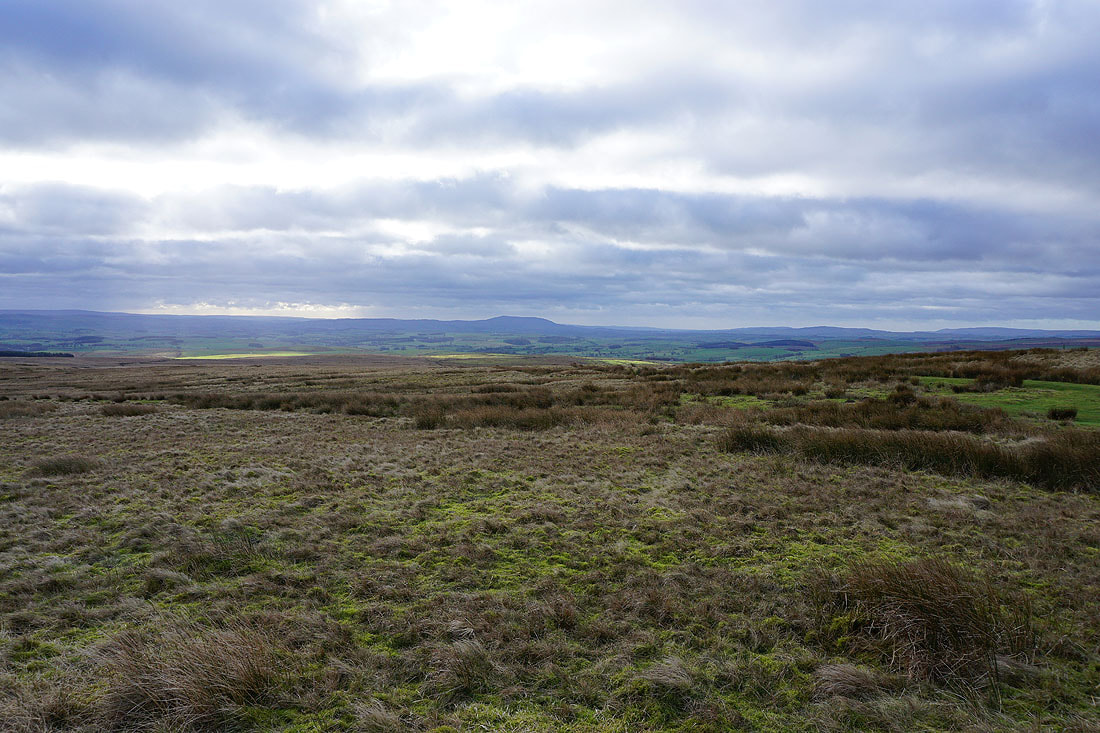
Cracoe Fell..
..and Sharp Haw beyond Hetton Common Head
Pendle Hill in the distance
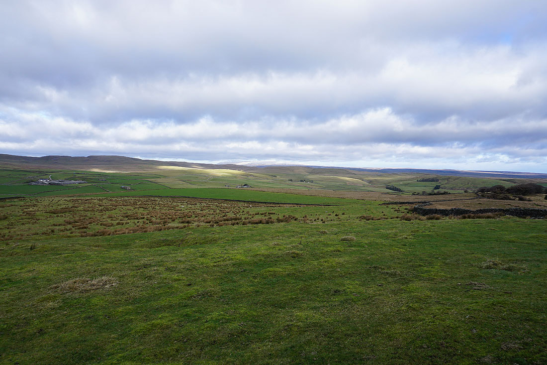
along with a snow topped Great Whernside
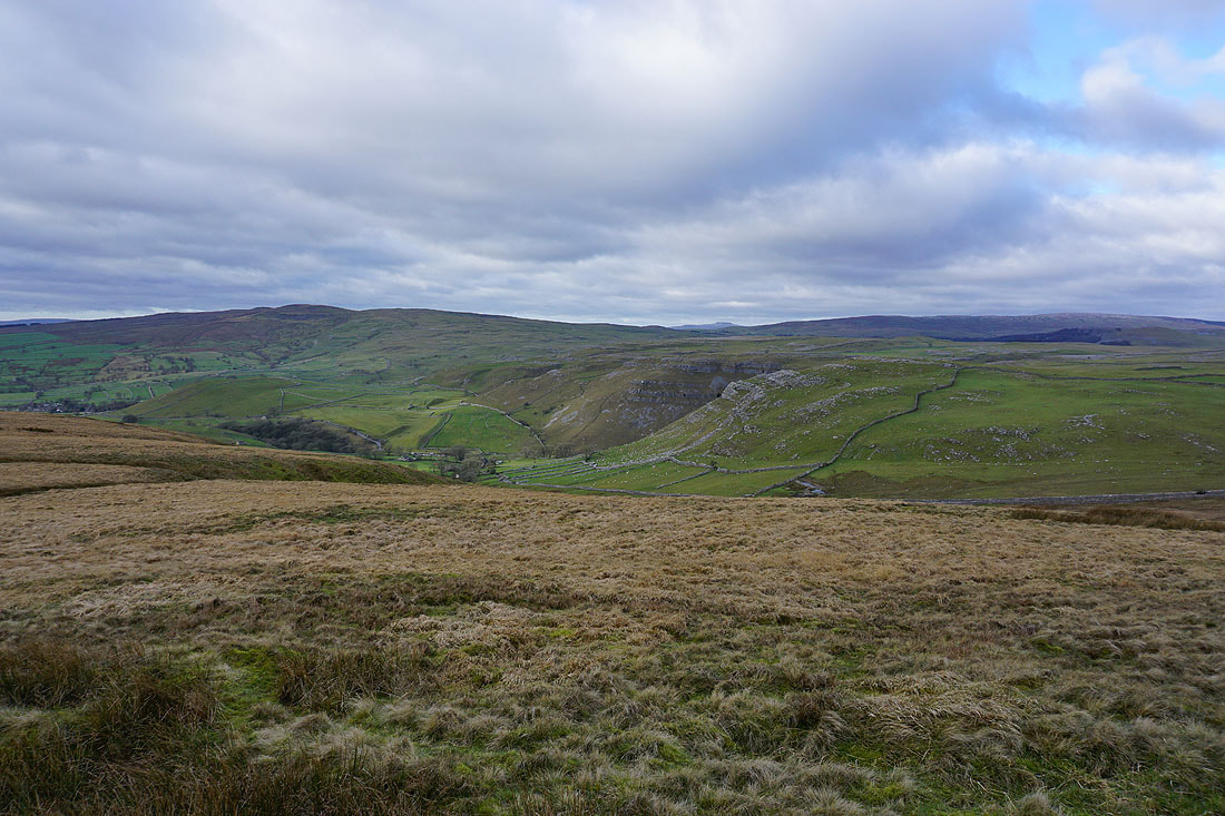
Finally, Kirkby Fell and the entrance to Gordale Scar
Walking down the bridleway to Hawthorns Lane..
..and then down Hawthorns Lane to Gordale Scar
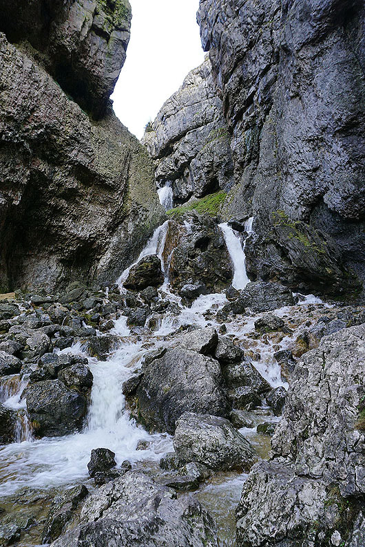
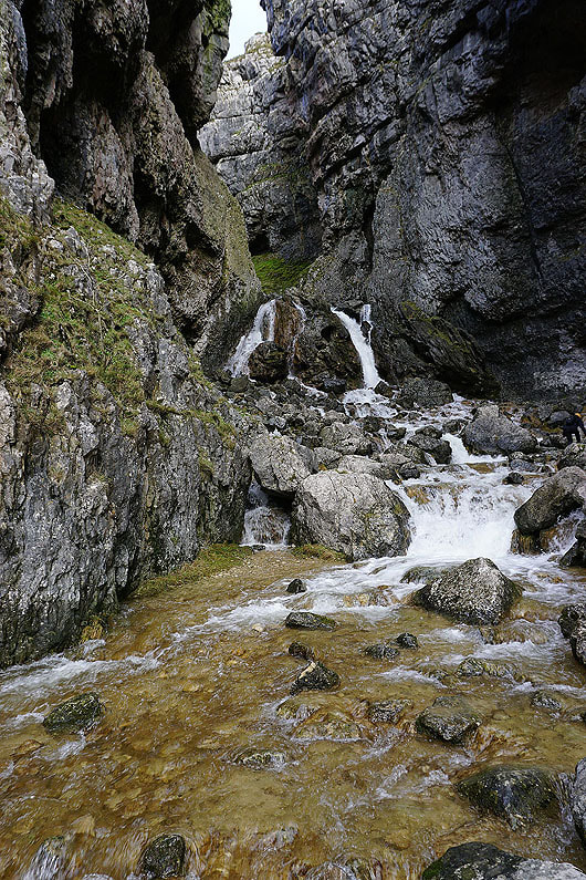
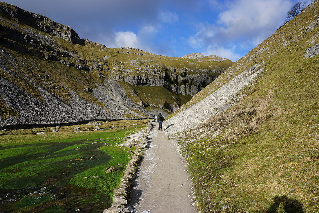
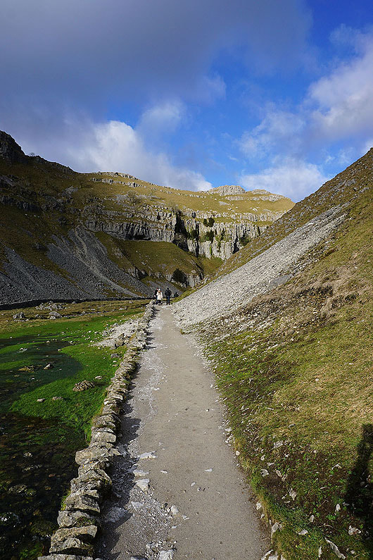
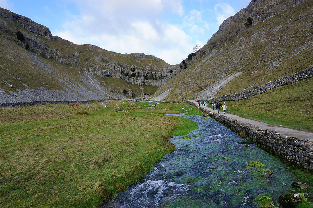
Some photos of my there and back visit to Gordale Scar.....
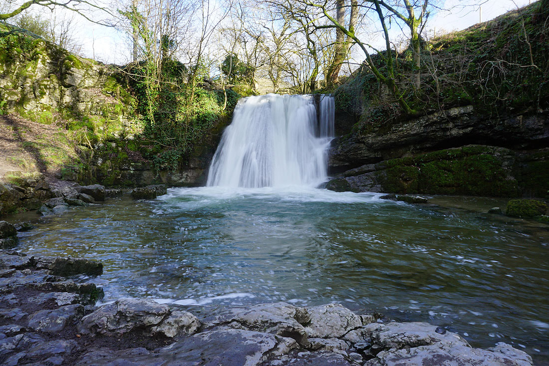
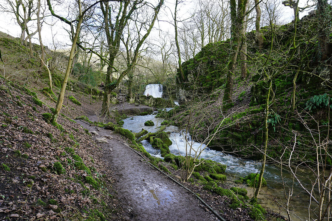
The waterfall of Janet's Foss..
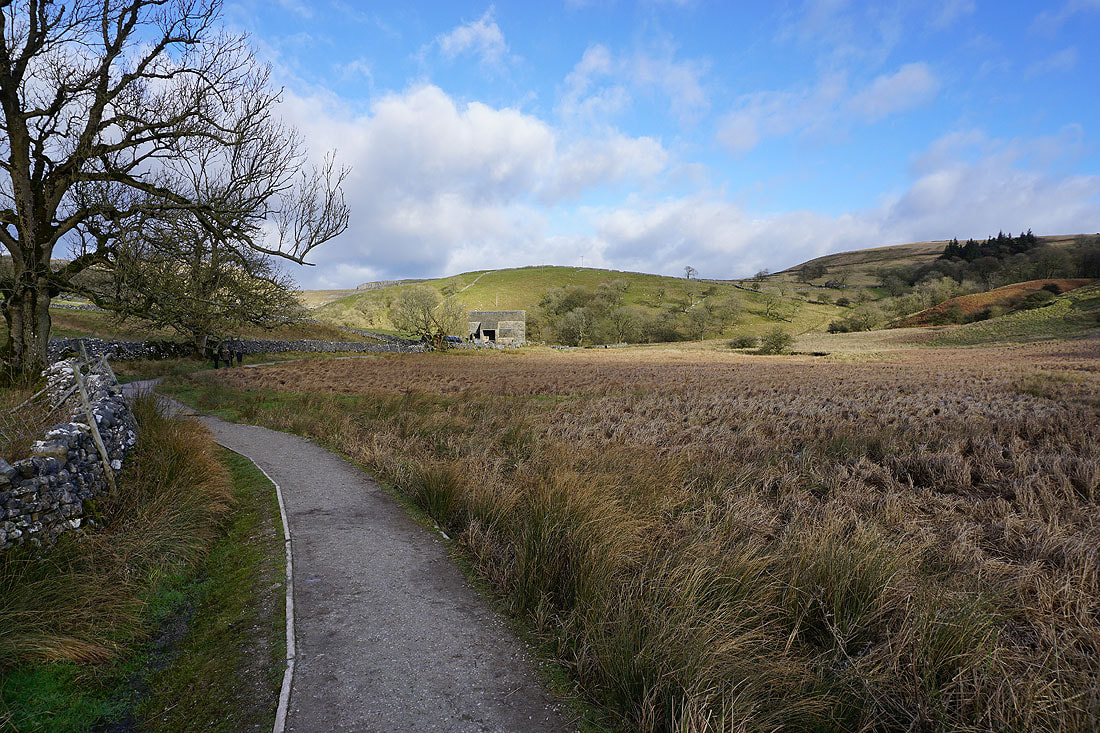
Looking back to the barn of Middle Laithe from the path out to the Pennine Way
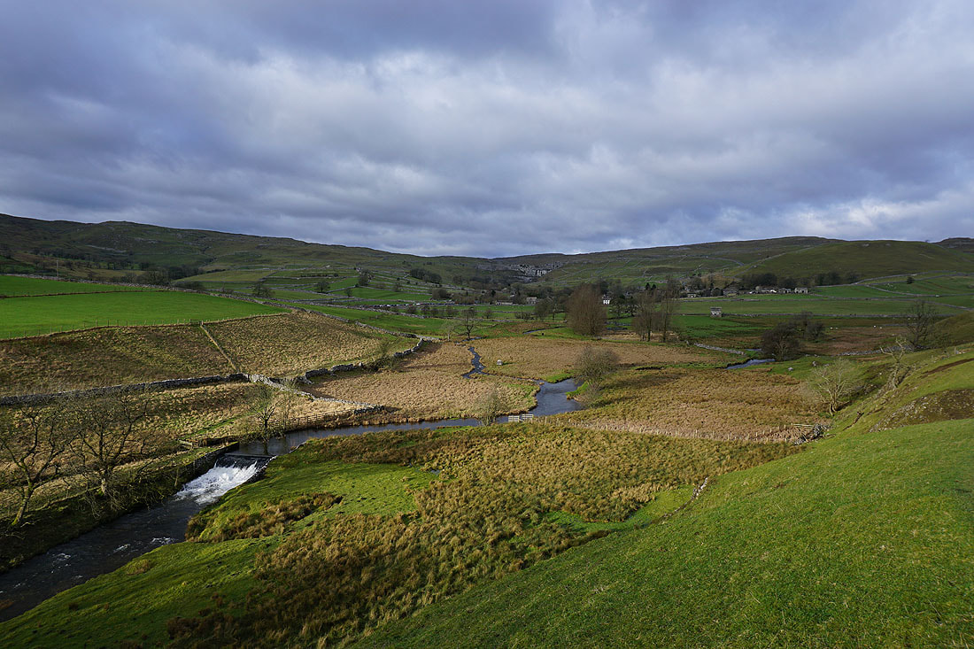
Malham and Malham Cove to the north as I head south on the Pennine Way
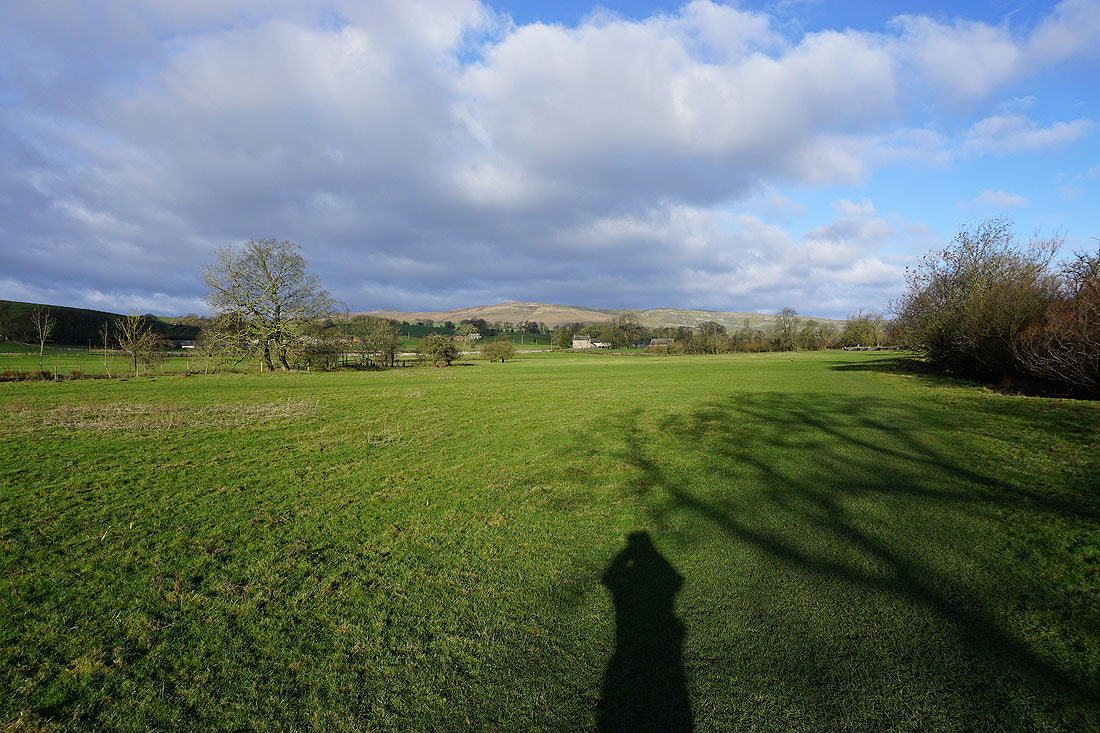
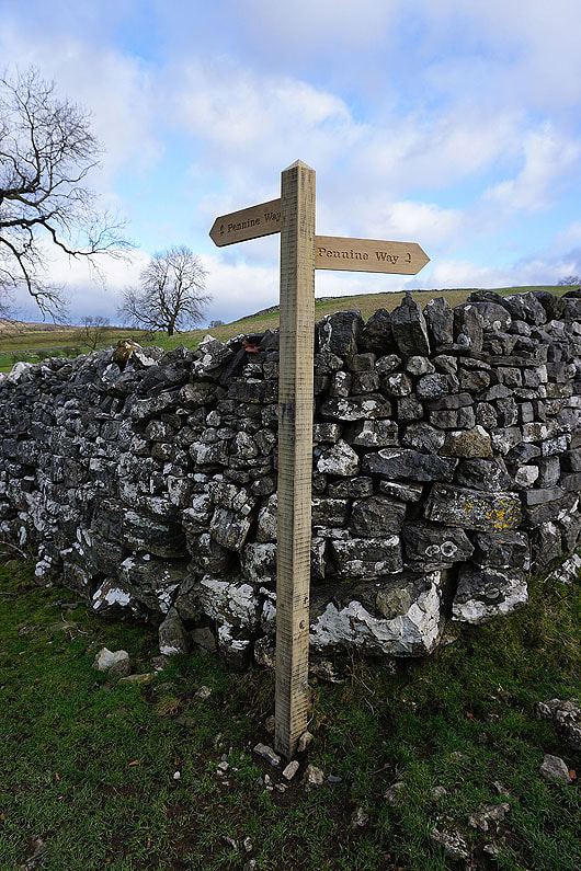
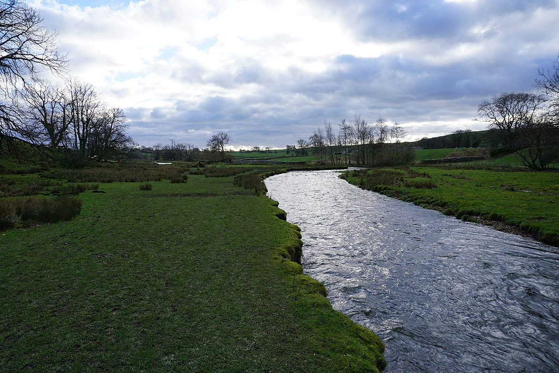
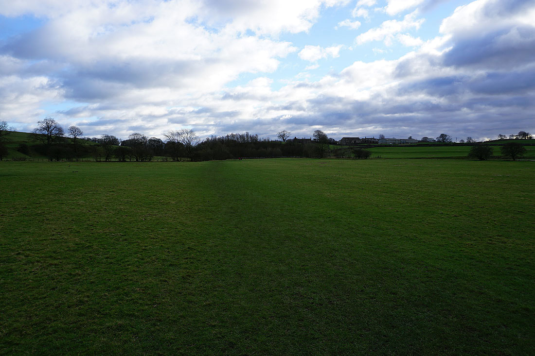
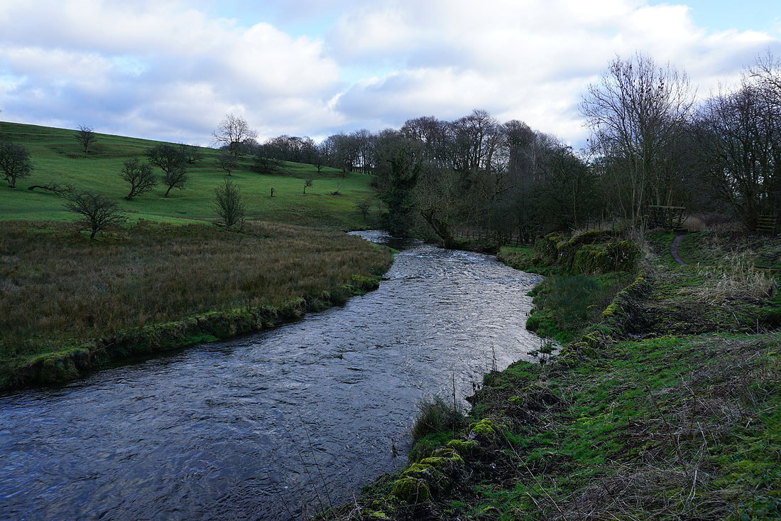
Following the Pennine Way back to Airton.....
