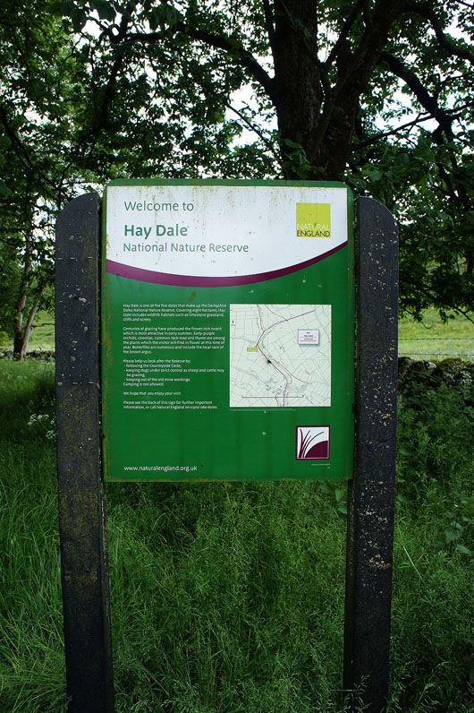
27th June 2015 - The Limestone Way & Hay Dale from Miller's Dale
Walk Details
Distance walked: 10.5 miles
Total ascent: 1480 ft
OS map used: OL24 - The Peak District, White Peak area
Time taken: 6.5 hrs
Route description: Miller's Dale car park-Monk's Dale-Monksdale Farm-Limestone Way-Wheston-Limestone Way-Dam Cliff-Dam Dale Farm-Dam Dale-Hay Dale-Peter Dale-Pennine Bridleway-Wormhill-Pennine Bridleway-Hassop Farm-Chee Dale- Miller's Dale car park
Two years ago I did my first walk in the White Peak part of the Peak District and while I've gotten to know the area quite well there are still plenty of places to explore. My route today took in part of that first walk, Hay Dale and Peter Dale but this time I followed the Limestone Way to the east of Monk's Dale, through Wheston and down a new valley, Dam Dale. I missed out Monk's Dale this time in favour of the moors around Wormhill. Weather wise it was pretty cloudy for much of the time but it did feel warm when I was lucky enough to enjoy a spell of sunshine.
From the Miller's Dale car park I made my way out to the road to take the path down into and across Monk's Dale, then up to Monksdale Farm. I then followed the Limestone Way north through Wheston until I reached the bridleway down into Hay Dale. This was ignored however in favour of the path across fields, over the top of Dam Cliff and down to Hernstone Lane where a fingerpost points you to Dam Dale Farm. I then made my way down the valleys of Dam Dale, Hay Dale and Peter Dale. When I reached the road between Peter Dale and Monk's Dale I left the valley behind and took the Pennine Bridleway up to Wormhill. I kept on the Pennine Bridleway through Wormhill until it reached a road south of Tunstead where I turned left, walked down the road and onto a footpath on the left that heads east above Flag Dale to Hassop Farm. After making my way through the farmyard and out to the road I turned right and briefly walked down the road before taking a path on the right down into Chee Dale. The River Wye was then followed downstream until I reached the viaduct carrying the Monsal Trail. I climbed the steps up to the Monsal Trail, which then took me back to the Miller's Dale car park.
Route map
© Crown copyright. All rights reserved. License number PU 100034184.
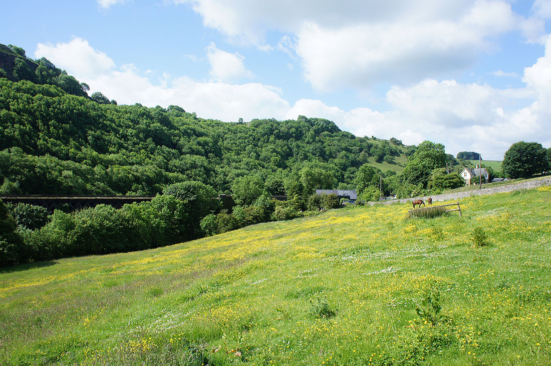
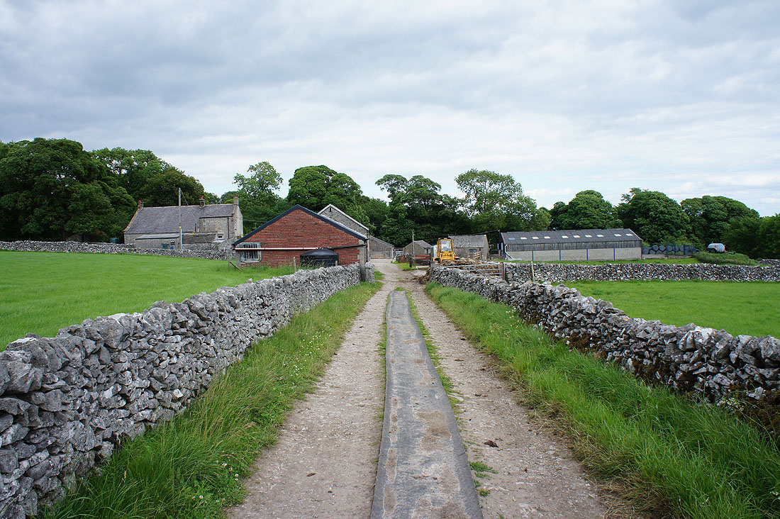
Leaving the car park at Miller's Dale behind and the viaduct that carries the Monsal Trail
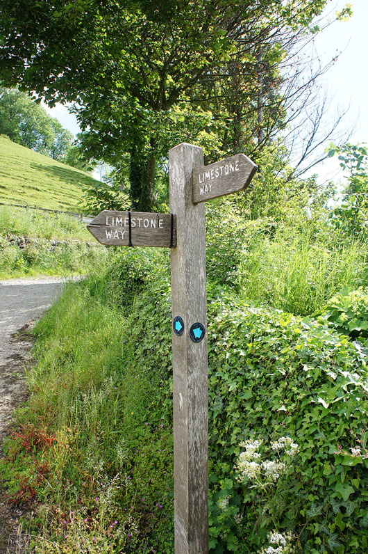
On the other side of Monk's Dale and I join the Limestone Way
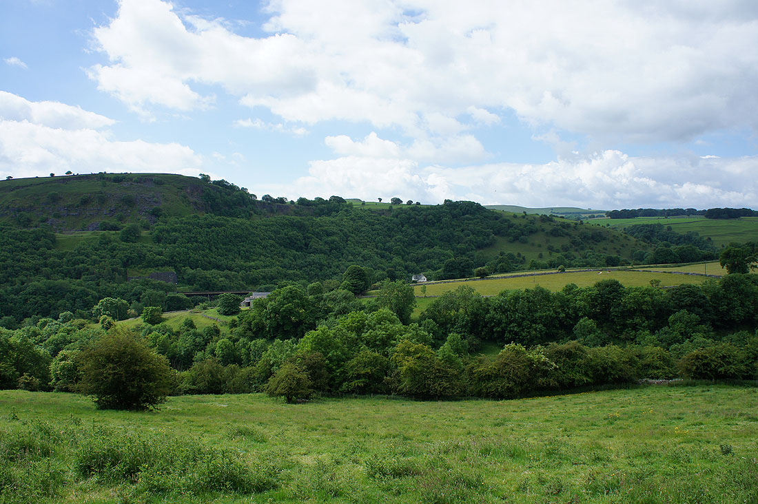
Looking back towards Miller's Dale..
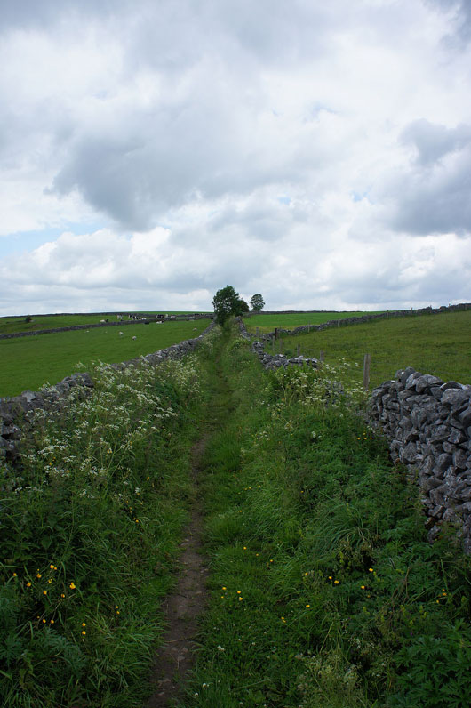
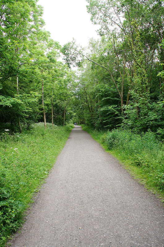
..as I follow the Limestone Way..
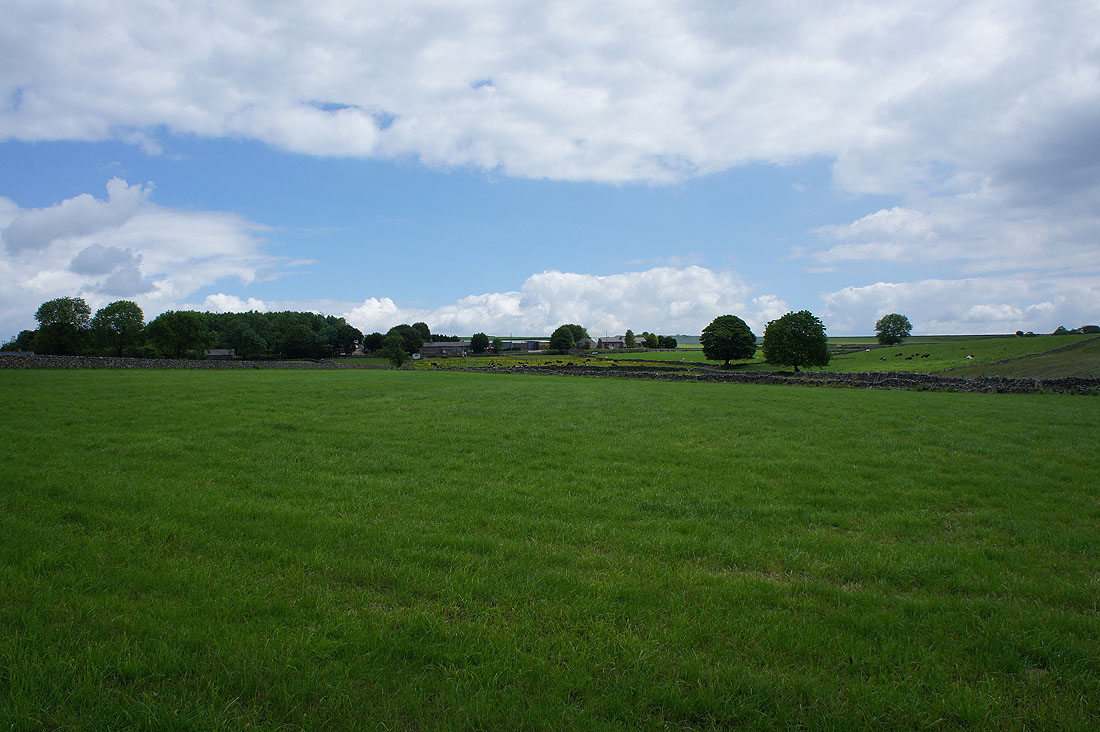
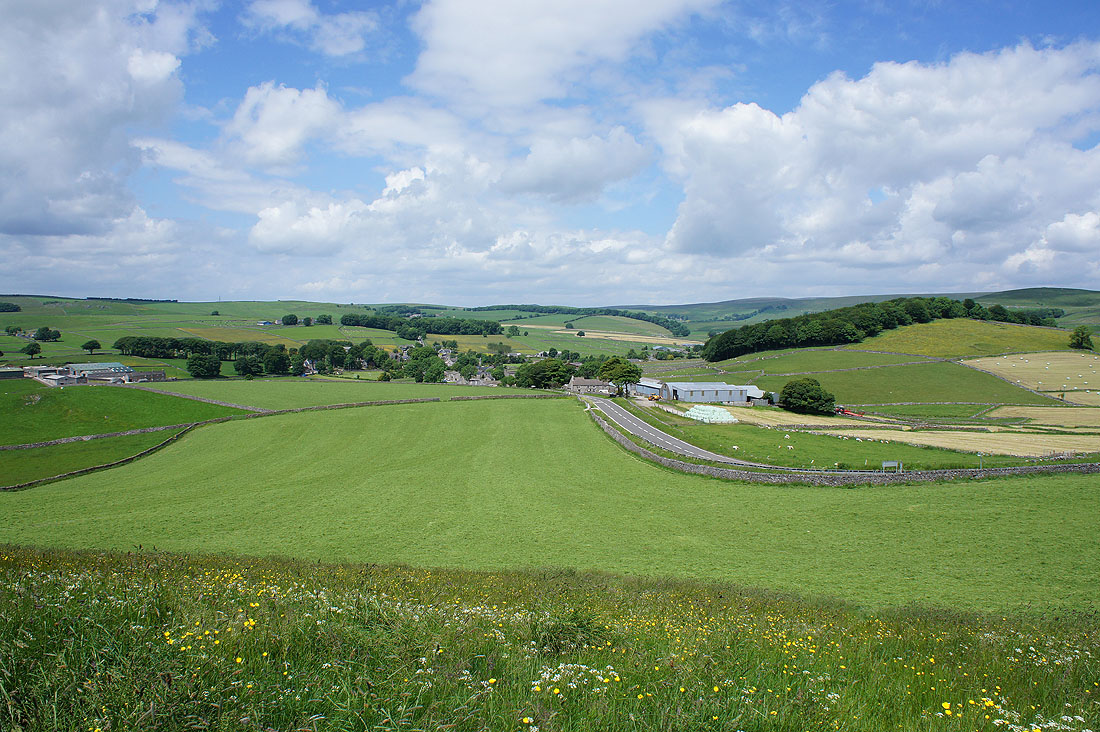
Approaching the road at Monksdale House
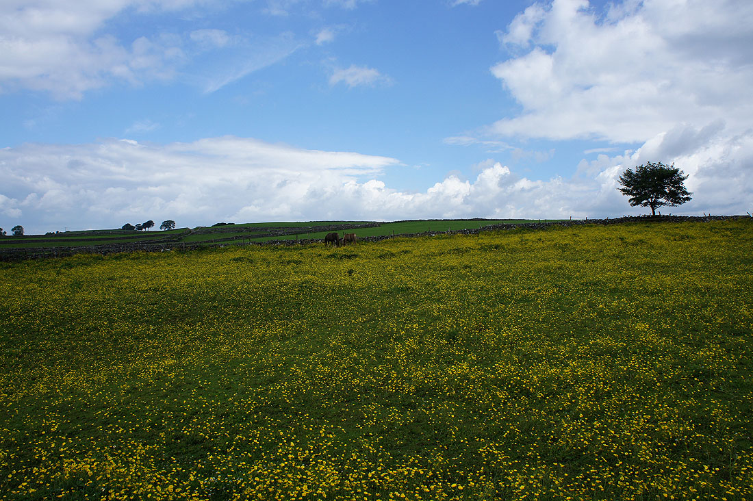
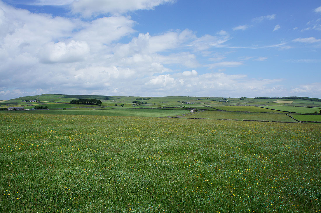
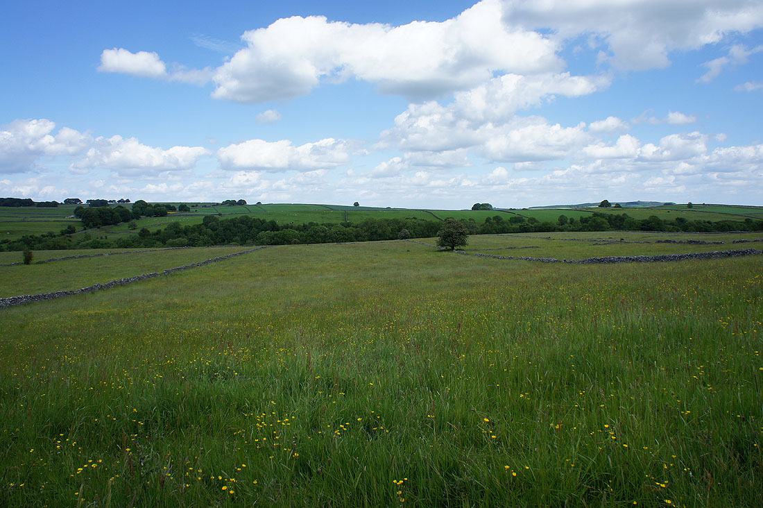
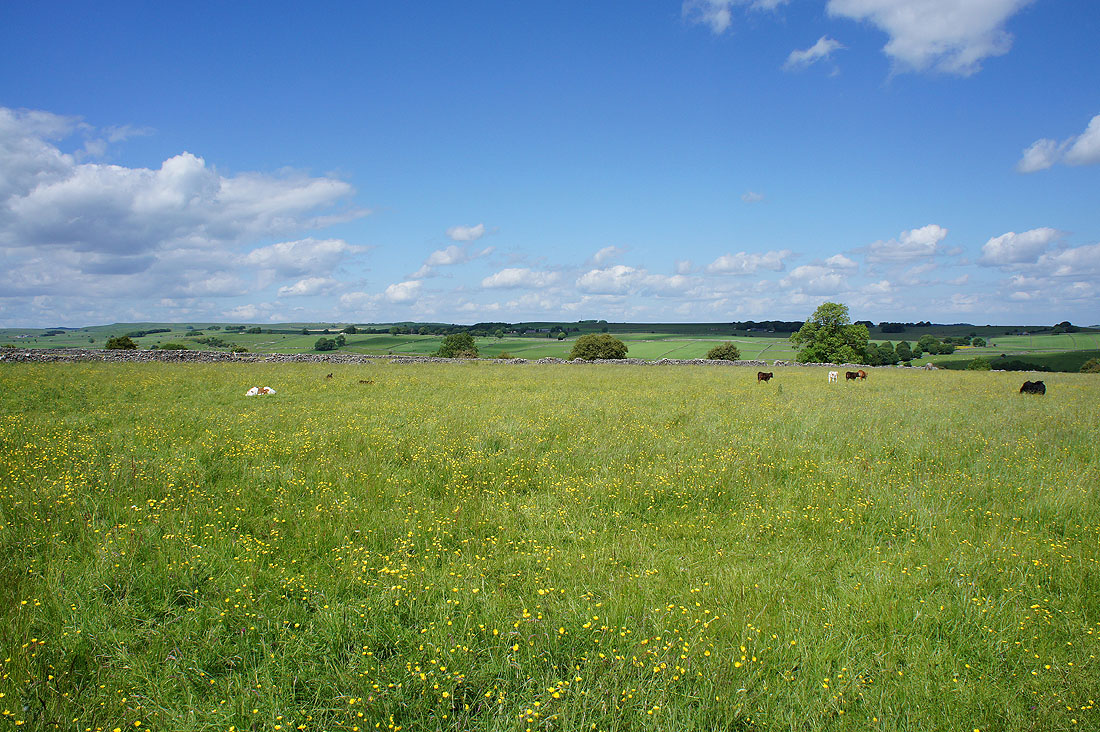
Couldn't resist taking a photo of the buttercup filled field
The hamlet of Wheston across the fields
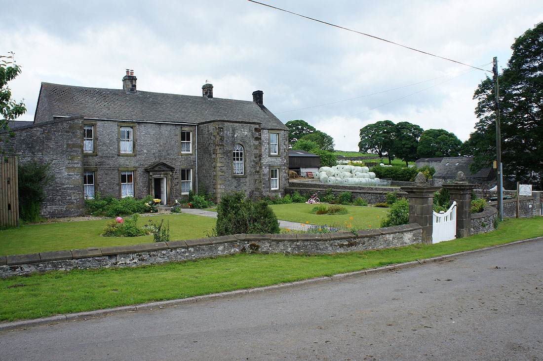
Wheston Hall Farm
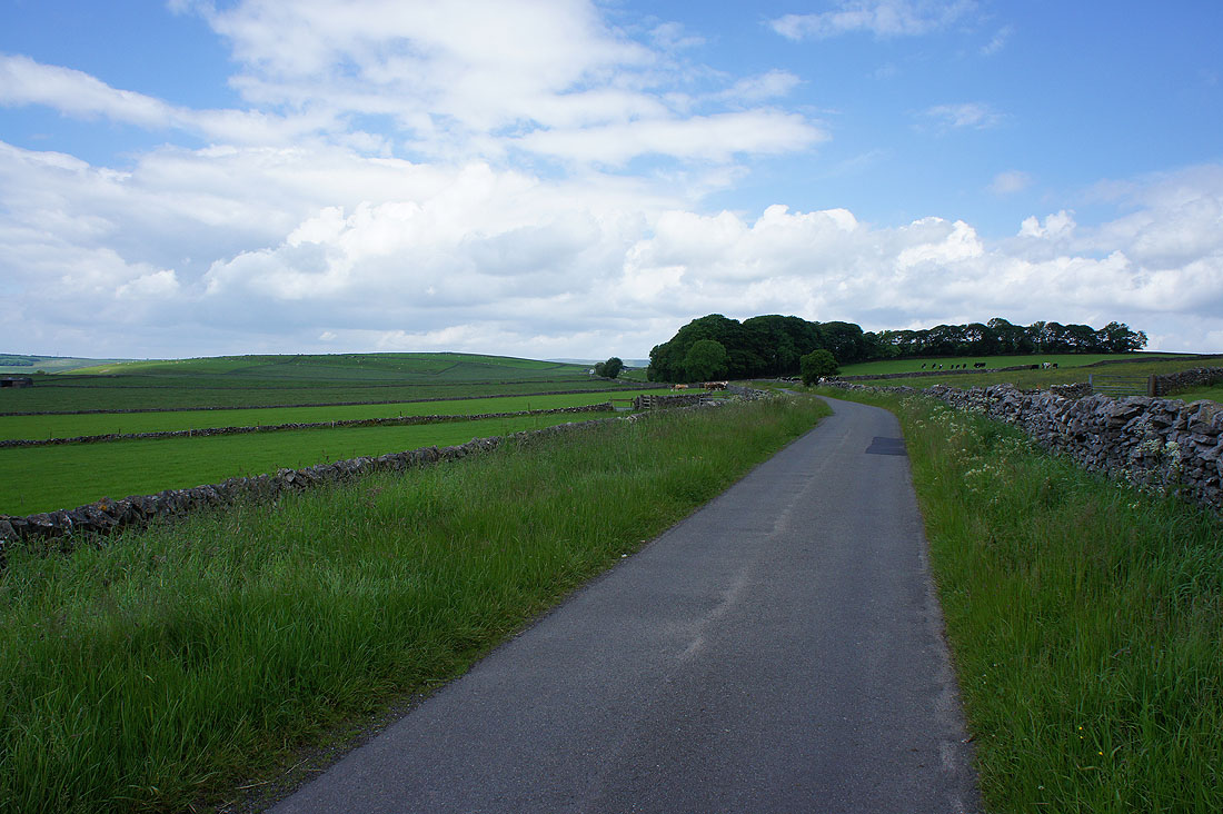
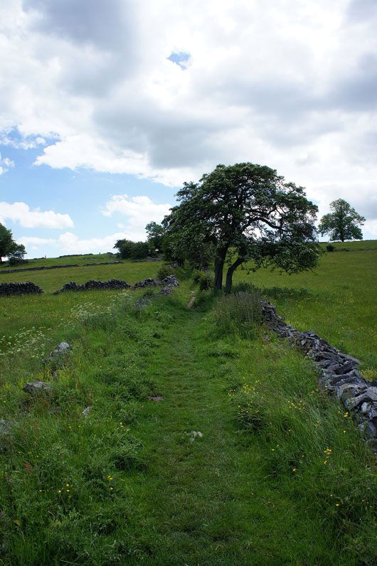
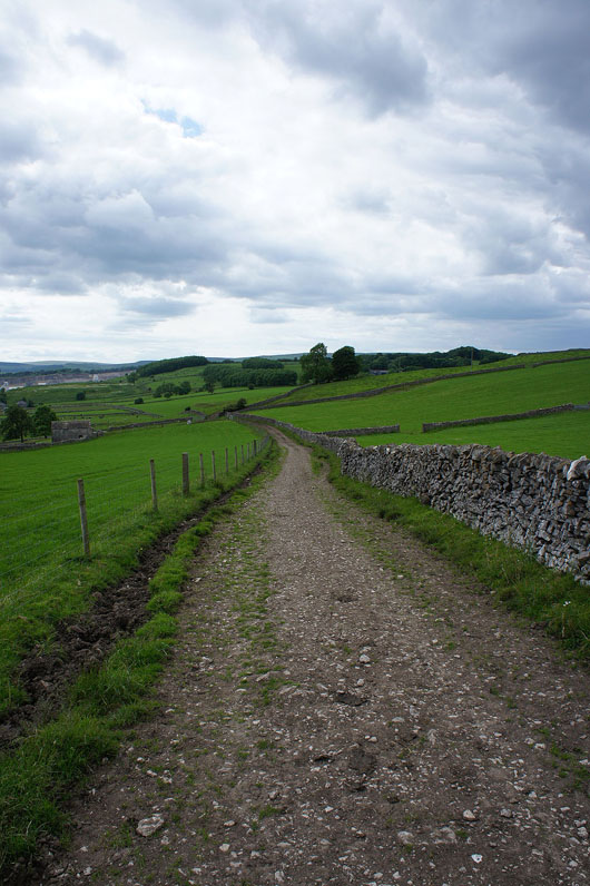
I leave Wheston by this road, still on the Limestone Way
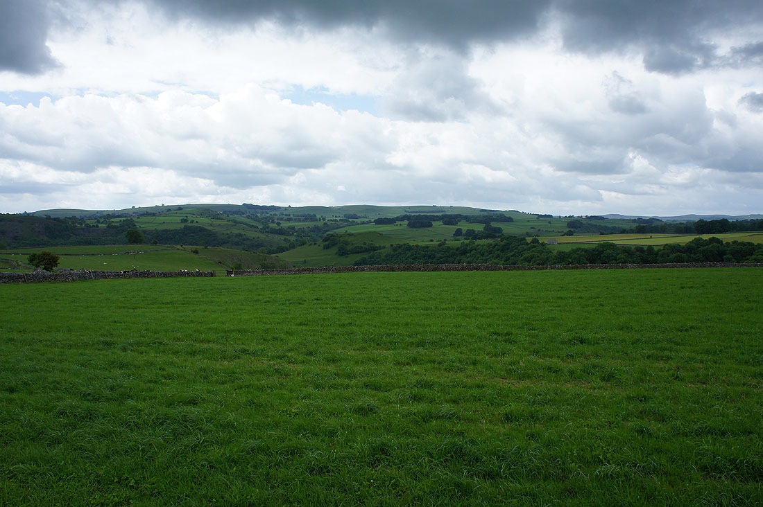
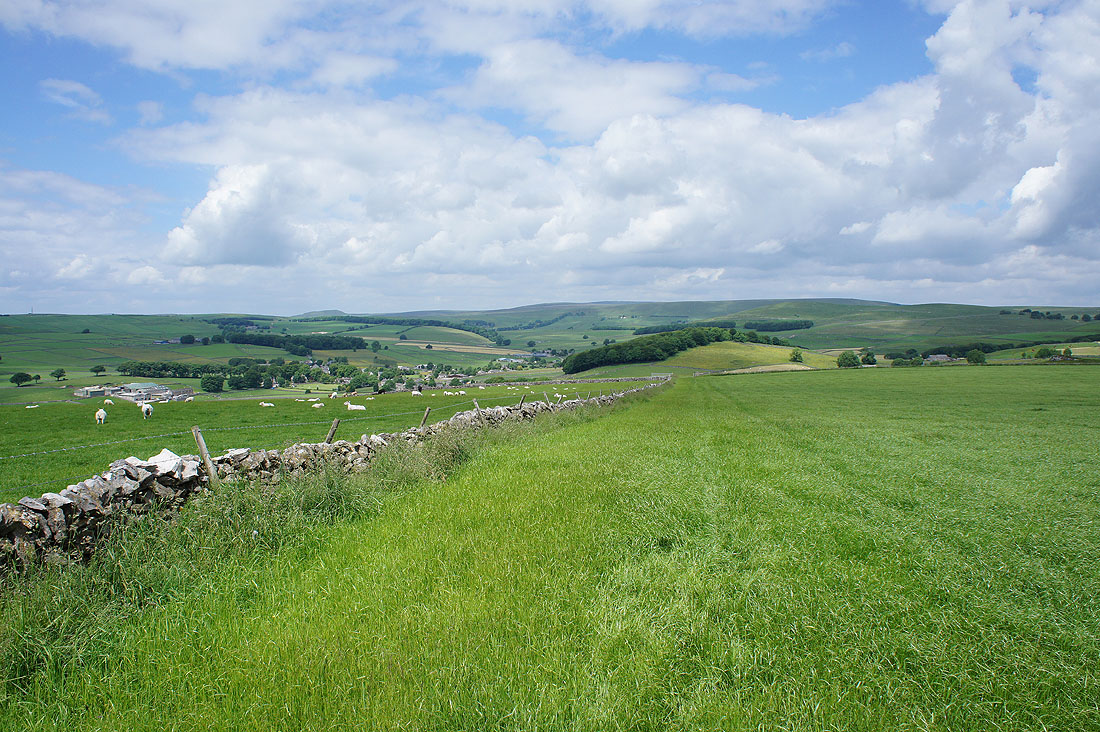
The sun is out again at last as I look across to Black Edge
Brood Low and Tideswell Moor from the top of Dam Cliff
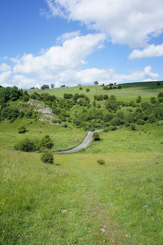
On the other side of Dam Cliff and following the footpath down to Hernstone Lane above the village of Peak Forest..
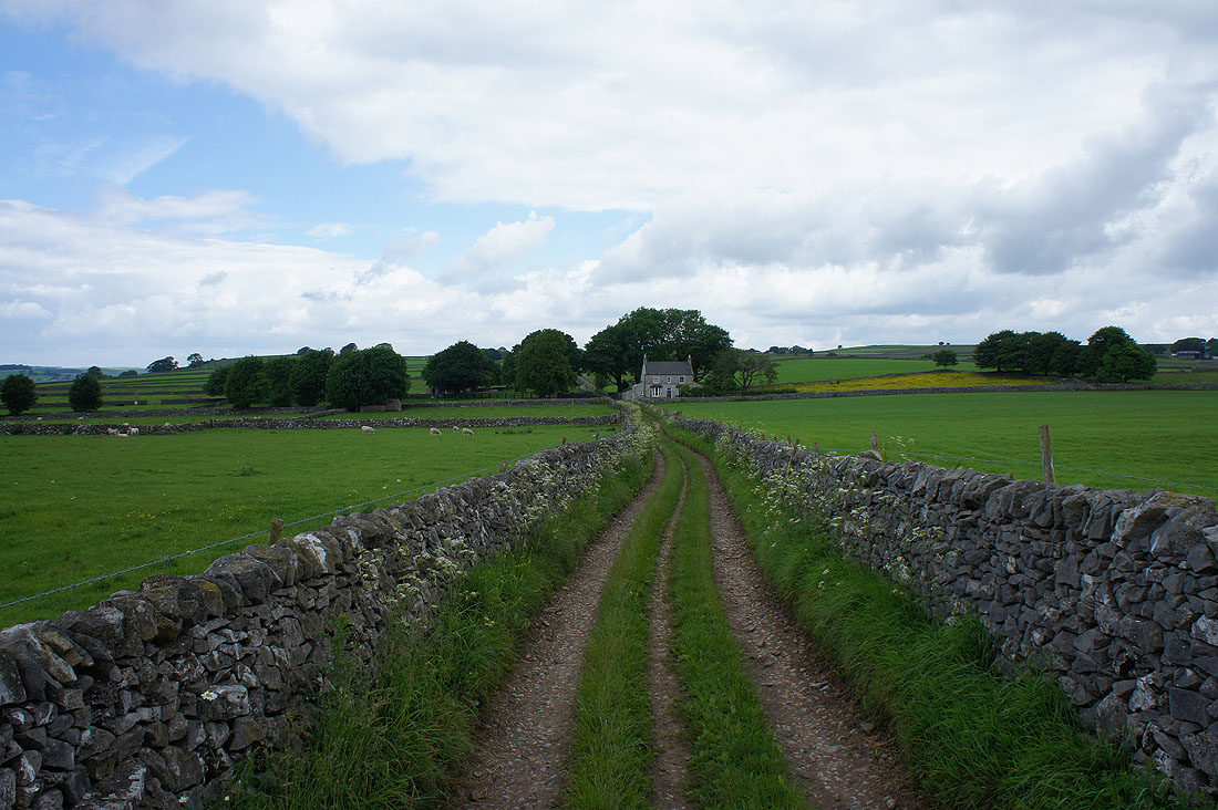
Then there's a left turn to reach Dam Dale Farm and the top of Dam Dale
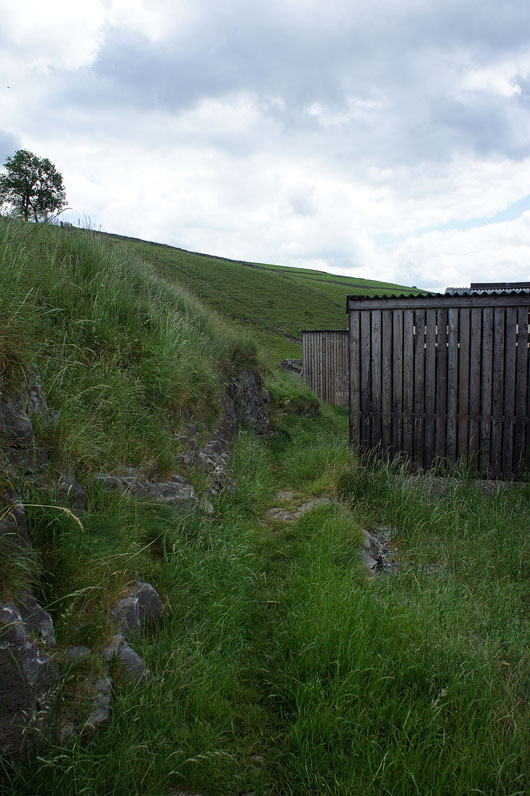
The path squeezes past the farm buildings and..
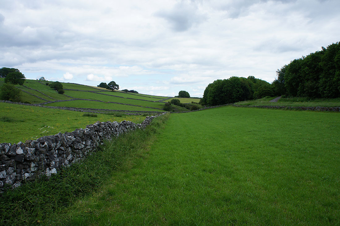
..into Dam Dale
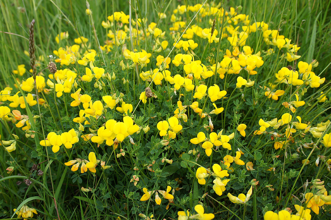
A lovely clump of Bird's Foot Trefoil
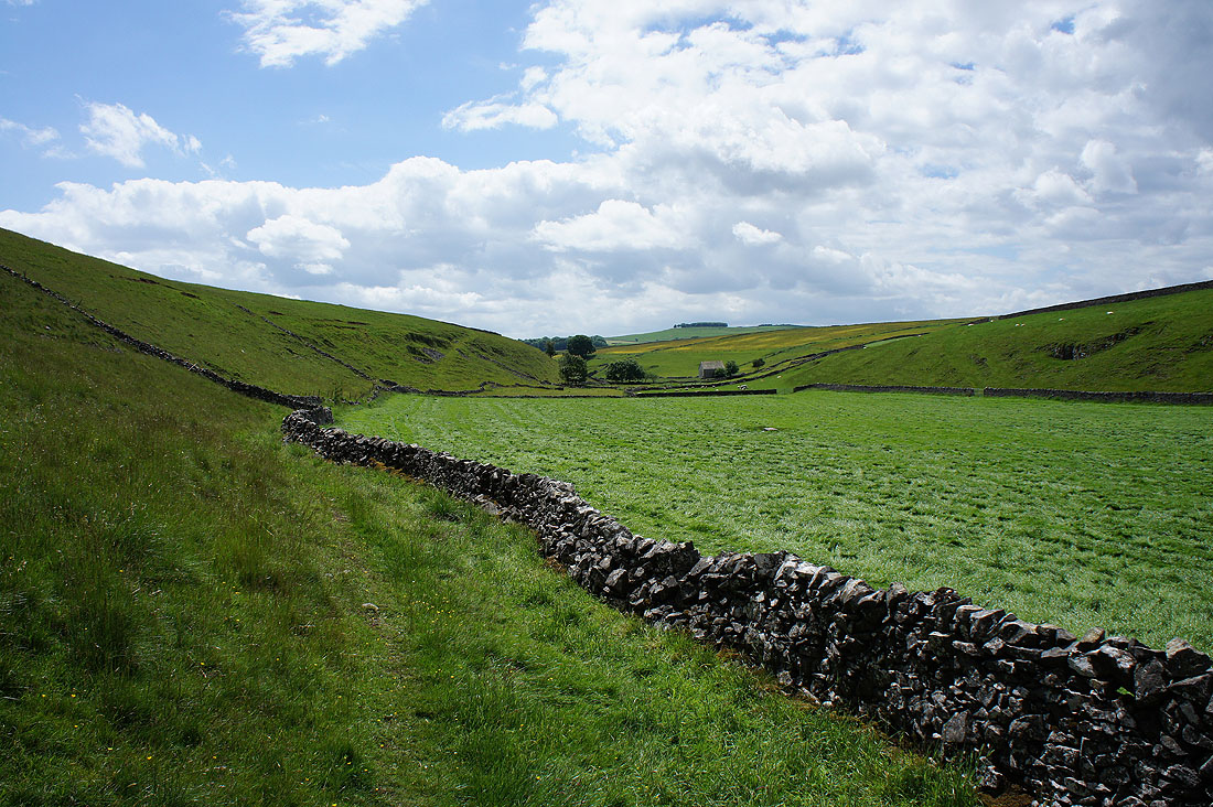
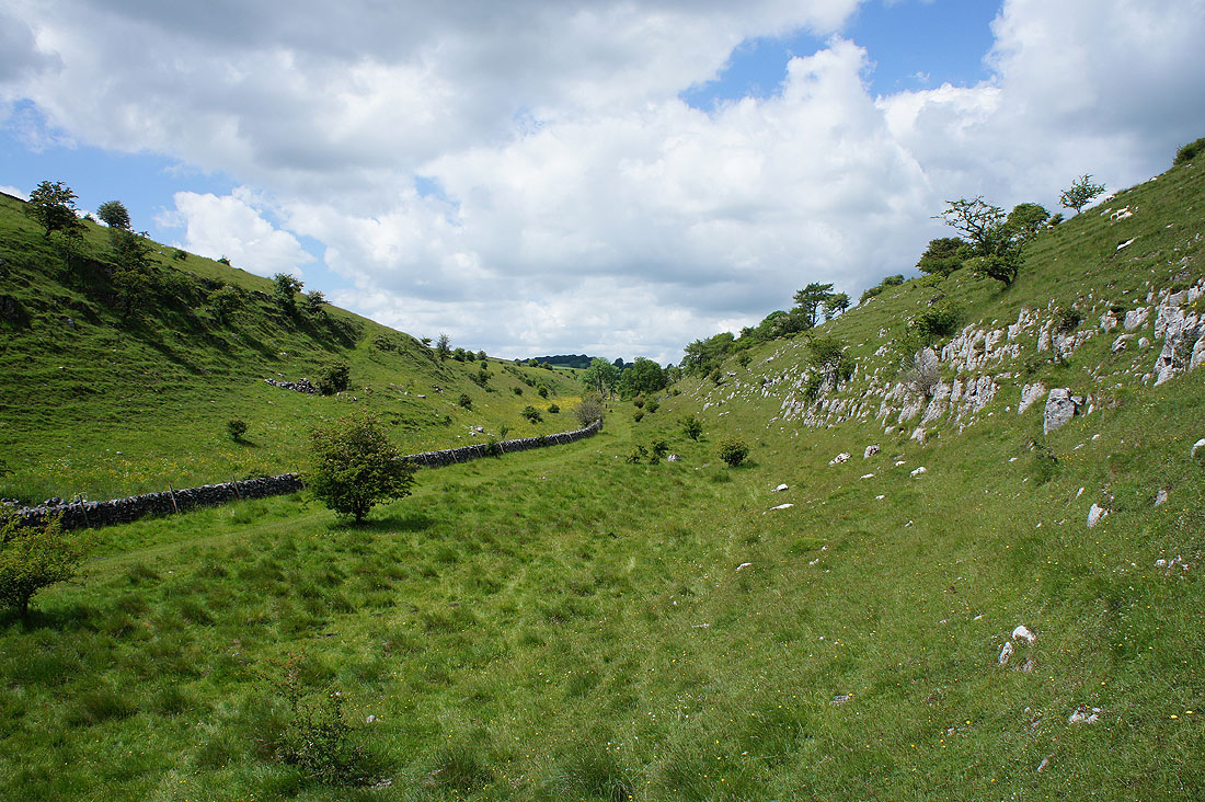
Looking back up Dam Dale..
..as I reach..
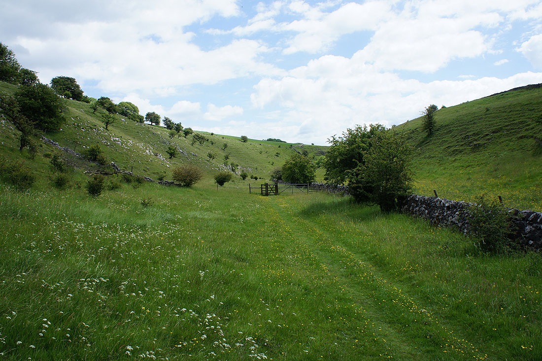
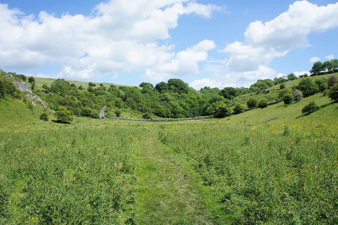
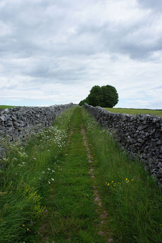
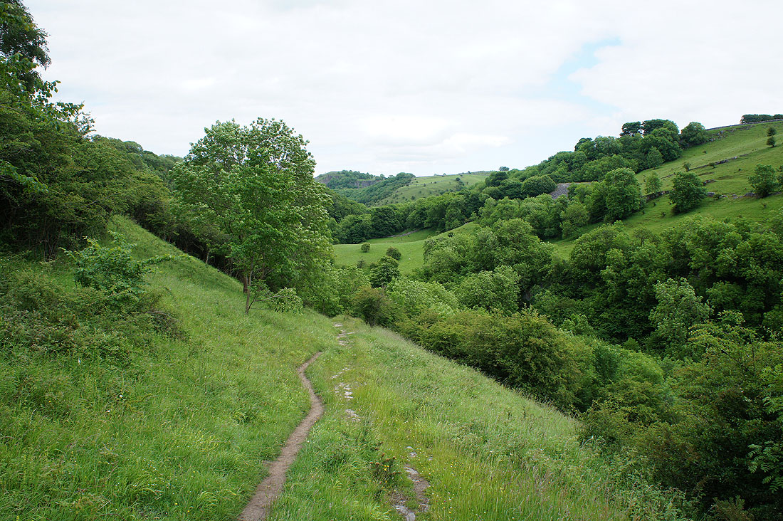
..and head down Hay Dale
Looking up Hay Dale
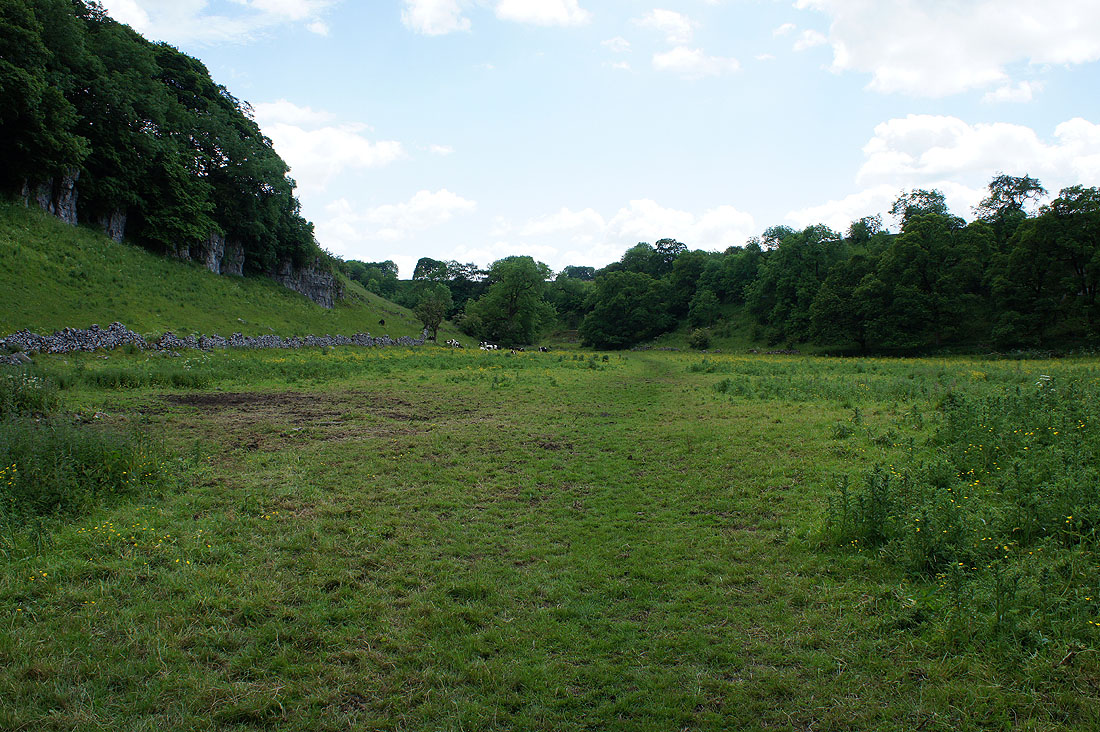
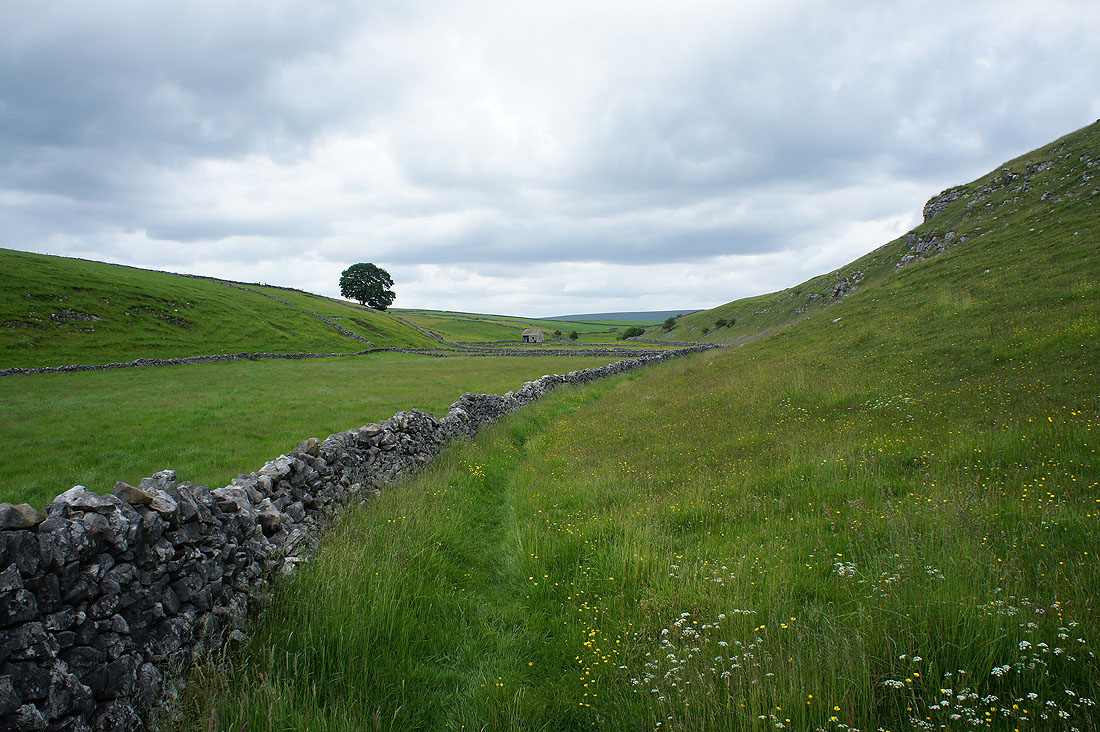
The open entrance to Peter Dale
Peter Dale ends at the road ahead and then it's Monk's Dale. I'm going to leave the valley though and head up onto the moors.
Looking back down on the road between Peter Dale and Monk's Dale
On the Pennine Bridleway to Wormhill
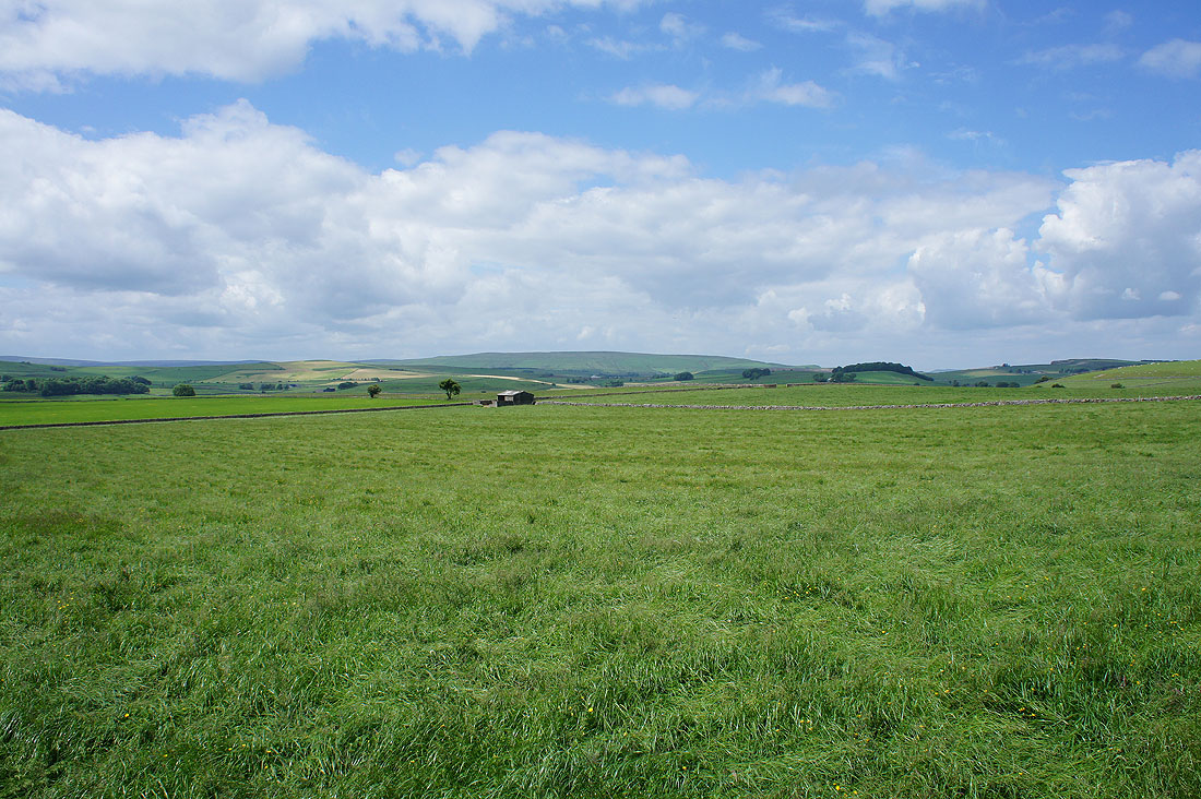
Nice views of the surrounding moors..
On the other side Wormhill and I'm still on the Pennine Bridleway. I avoided taking a photo that had a lot of the very obvious Tunstead Quarry I was walking towards.
I've left the Pennine Bridleway for a footpath that will take me above Flag Dale..
..to Hassop Farm
Down into Chee Dale
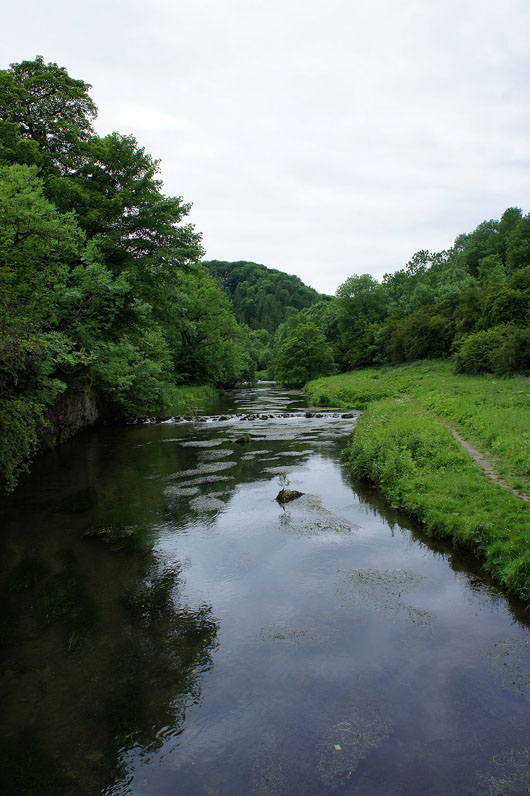
The River Wye in Chee Dale
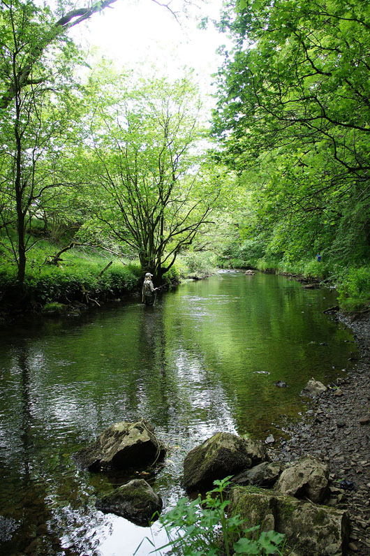
Trout fishing on the Wye
On the Monsal Trail back to the car park