27th June 2020 - Weets Hill
Walk Details
Distance walked: 8.2 miles
Total ascent: 1510 ft
OS map used: OL21 - South Pennines
Time taken: 4 hrs
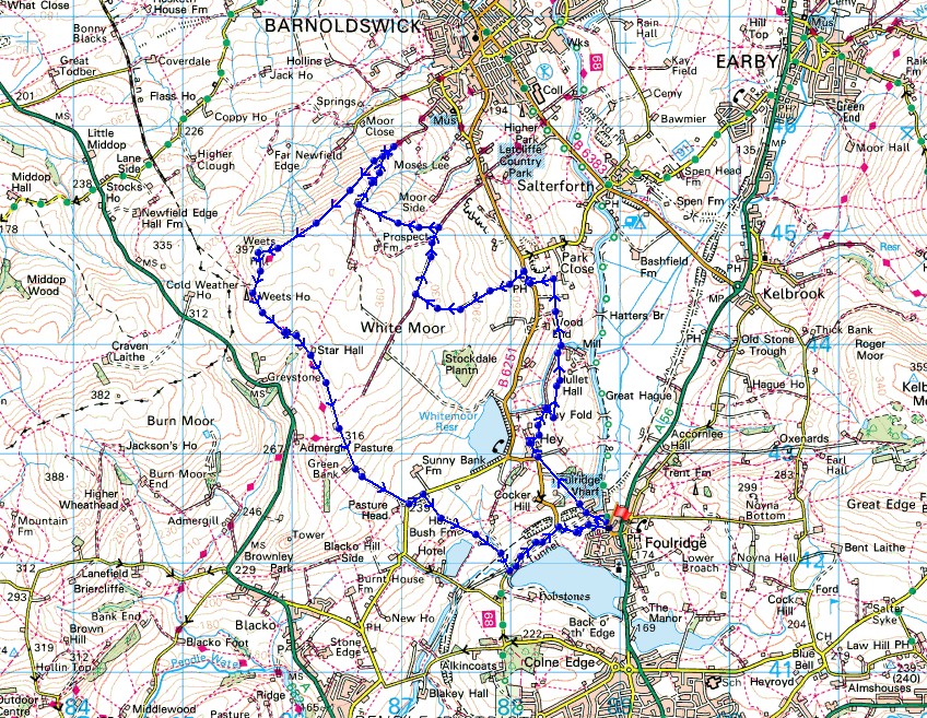
Route description: Foulridge-Hey-Hey Fold-Booth House Farm-High Lane-Copy Nook-Lister Well Road-Folly Lane-Pendle Way-Weets Hill-Weets House Farm-Gisburn Old Road-Standing Stone Lane-Whitemoor Riding Centre-Holly Bush Farm-Reedymoor Lane-Barnoldswick Road-Foulridge
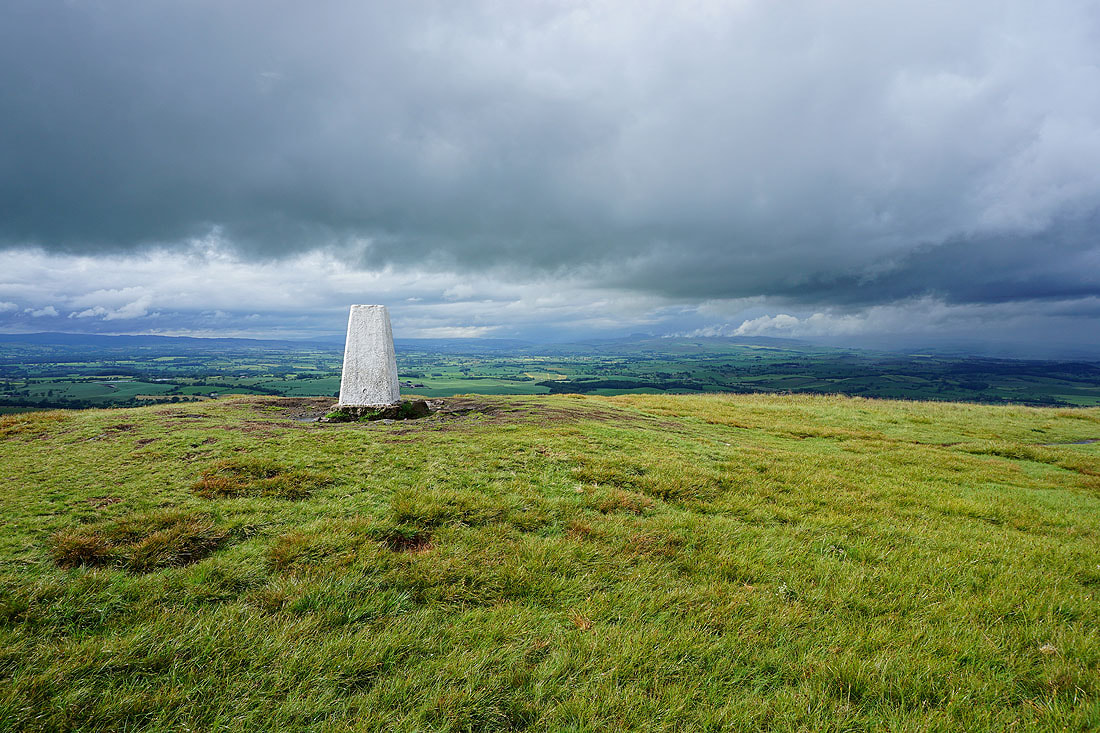
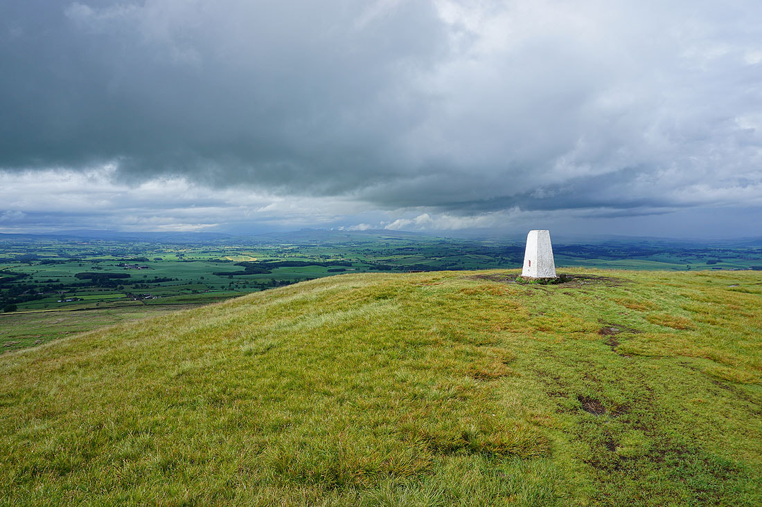
With today having what was supposed to be the best weather of the weekend, I had my fingers crossed when I set off from home for this walk to Weets Hill. There was sunshine and showers forecast, hopefully more sunshine than showers. I waited until after lunchtime before deciding to head out, as a shower cleared and there was a sunny gap. This fine weather lasted for an hour before the clouds gathered and the showers returned. There were then more showers than sunshine for the rest of the afternoon, with some really heavy downpours. My waterproofs got a good test. The definite highlight was the view from Weets Hill, with dramatic skies as a shower cleared.
Setting off from home I walked to the western end of Station Road and took the footpath straight up the hill and across fields to the corner of Whitemoor Road. Here I turned right and took a lane past some houses, then a footpath on the right down to Hey Fold. The next bit was a little complicated as I took the footpath right at Hey Fold, then left across the crest of a little hill and past Hullet Hall down to County Brook Lane. I briefly walked down the lane, took a footpath on the left through a patch of woodland and across a bridge over County Brook, before resuming following footpaths north across fields past Wood End Farm to Booth House Farm, where I took a footpath up a field to High Lane. I then walked a short distance north along High Lane, then took a track on the left and followed it uphill past Copy Nook to the bridleway of Lister Well Road. I then walked down Lister Well Road until I reached a gate on the left and a footpath across access land to Higher View at the top of Folly Lane. I then walked down Folly Lane until I reached a stile and the trail of the Pendle Way. The stile was crossed and the Pendle Way followed up to the summit of Weets Hill. After taking in the view I returned to the Pendle Way to reach Weets House Farm at the top of Gisburn Old Road. I then walked all the way down Gisburn Old Road, turned left onto Standing Stone Lane, then took the footpath on the right through Whitemoor Riding Centre down to Holly Bush Farm, then down a lane past Sand Hall to Reedymoor Lane. After walking north along Reedymoor Lane I turned right onto Barnoldswick Road and followed this back to Foulridge and home.
Route map
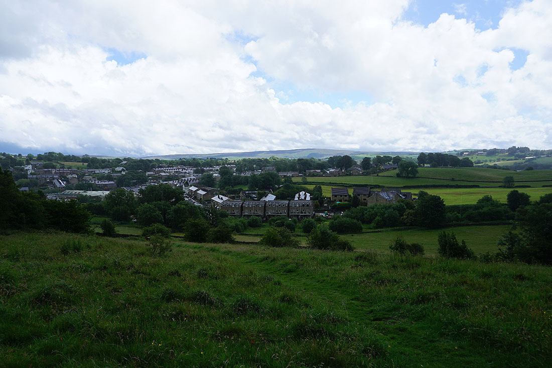
Brightening skies as I leave Foulridge behind...
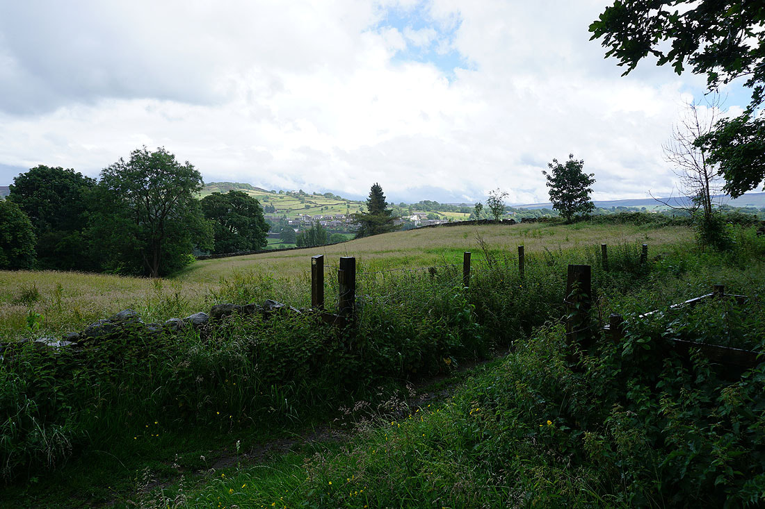
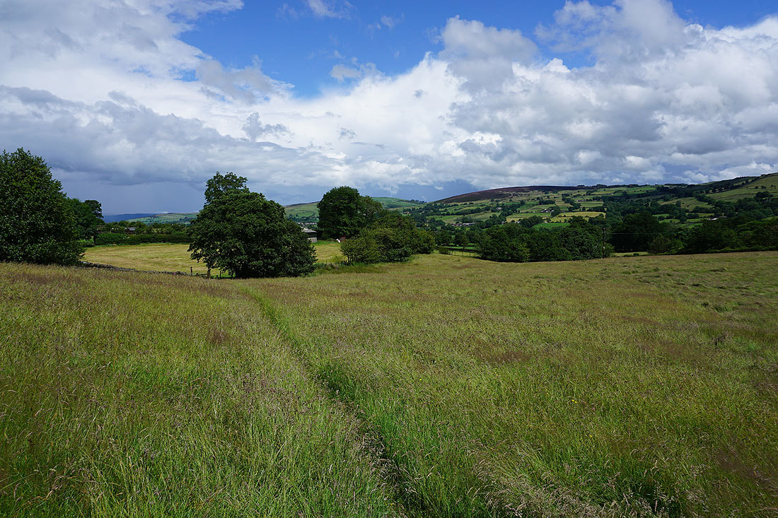
Bleara Moor and Kelbrook Moor in the distance as I follow a footpath north across fields. The grass is sopping wet and soaking the legs of my trousers.
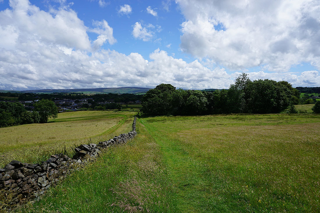
Barden Moor, Bleara Moor and Kelbrook as I pass Hullet Hall
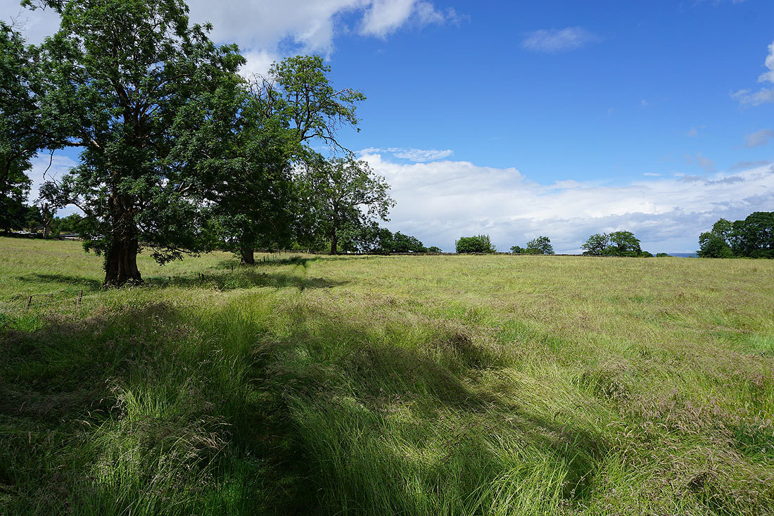
More long, wet grass to wade through
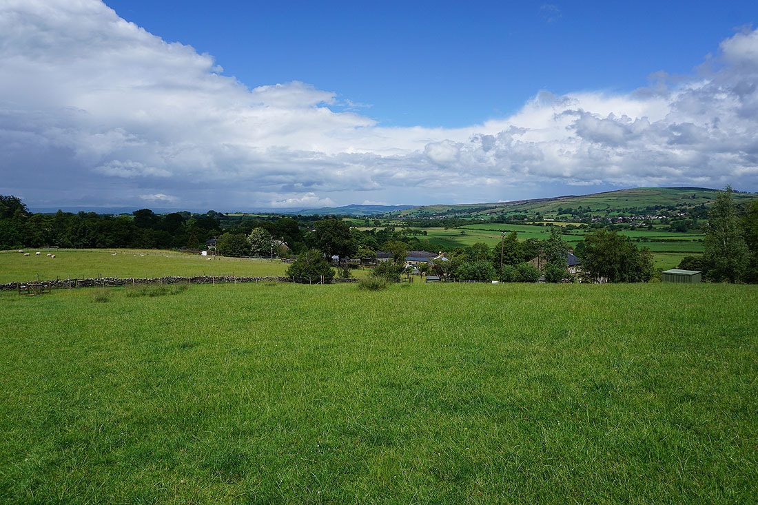
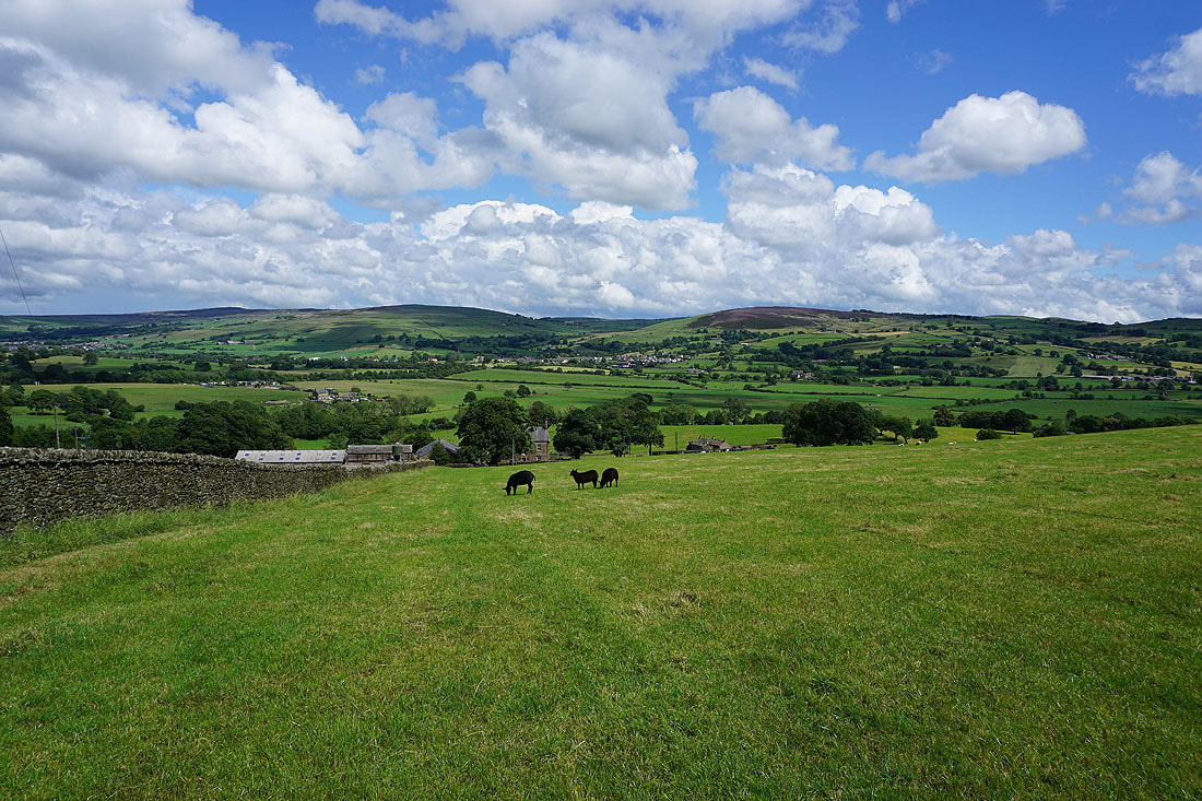
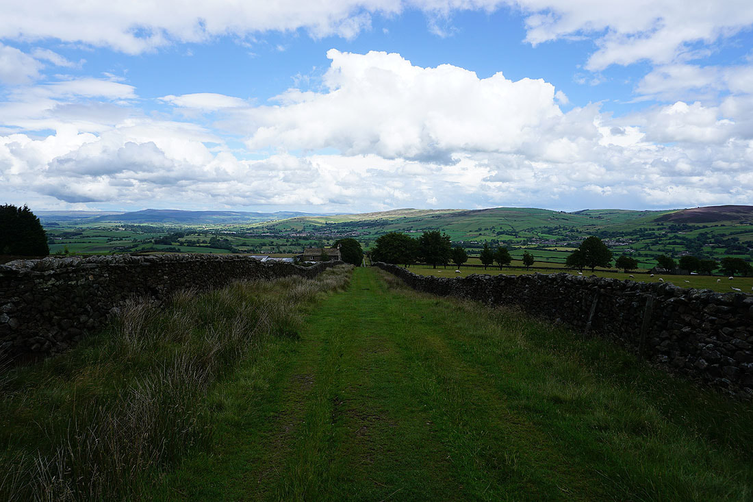
Looking back to Bleara Moor, Kelbrook and Kelbrook Moor as I follow a footpath up to High Lane
A distant view to the moors around Wharfedale, and Barden Moor, from the track up to Copy Nook
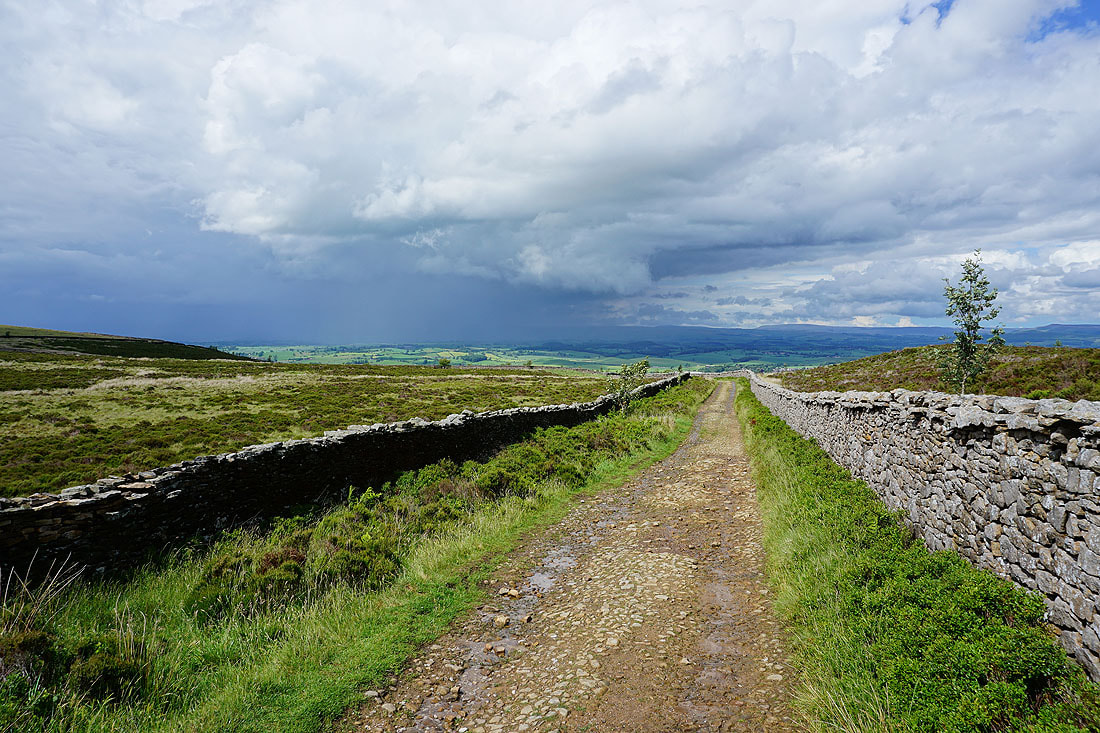
There are dark clouds ahead, but for now they're not heading this way
Barden Moor, Thornton Moor and Bleara Moor from above Copy Nook. It wasn't quite as dark as it appears in the photo.
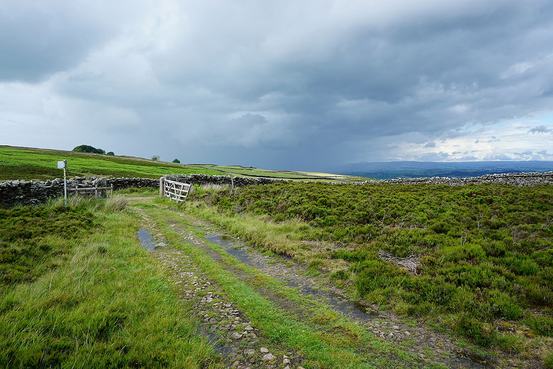
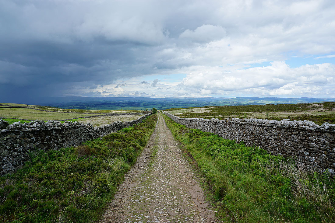
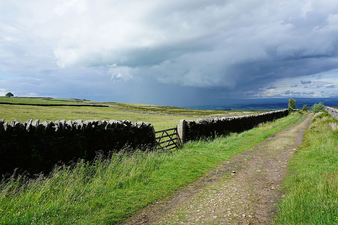
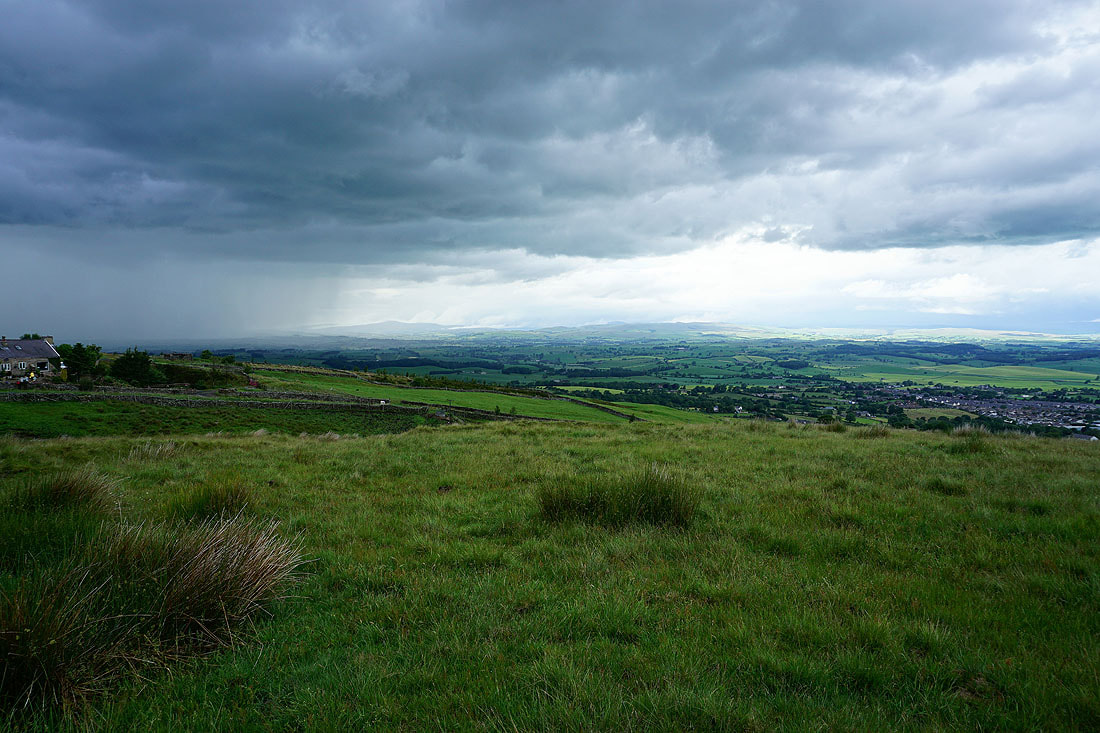
As I reach and follow the bridleway of Lister Well Road, those dark clouds and associated heavy shower clear away to the north and gives the area around Ribblesdale a good soaking. It makes for some dramatic skies....
Barden Moor, Thornton Moor, Earby, and Bleara Moor as I follow the footpath across the moor from Lister Well Road to Folly Lane
Ingleborough and Penyghent in the distance, but I think it will be a brief appearance
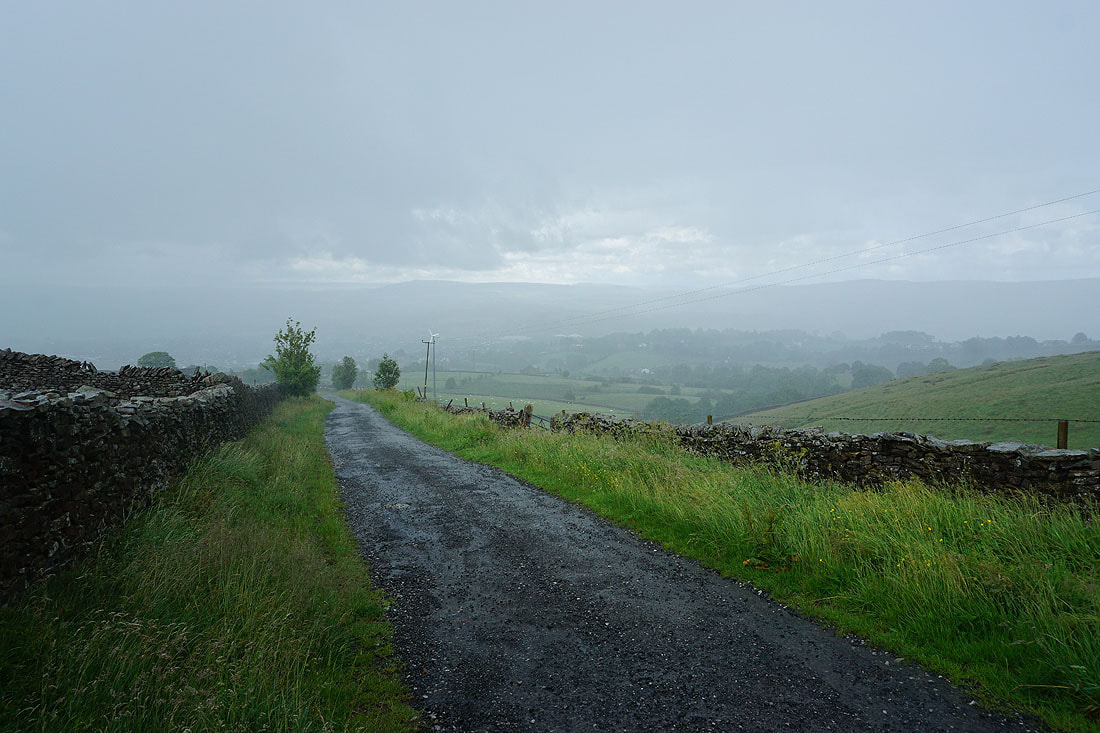
The heavens open as I walk down Folly Lane
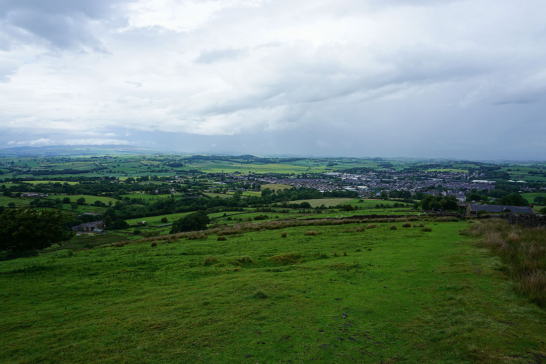
Barnoldswick below from the Pendle Way up Weets Hill
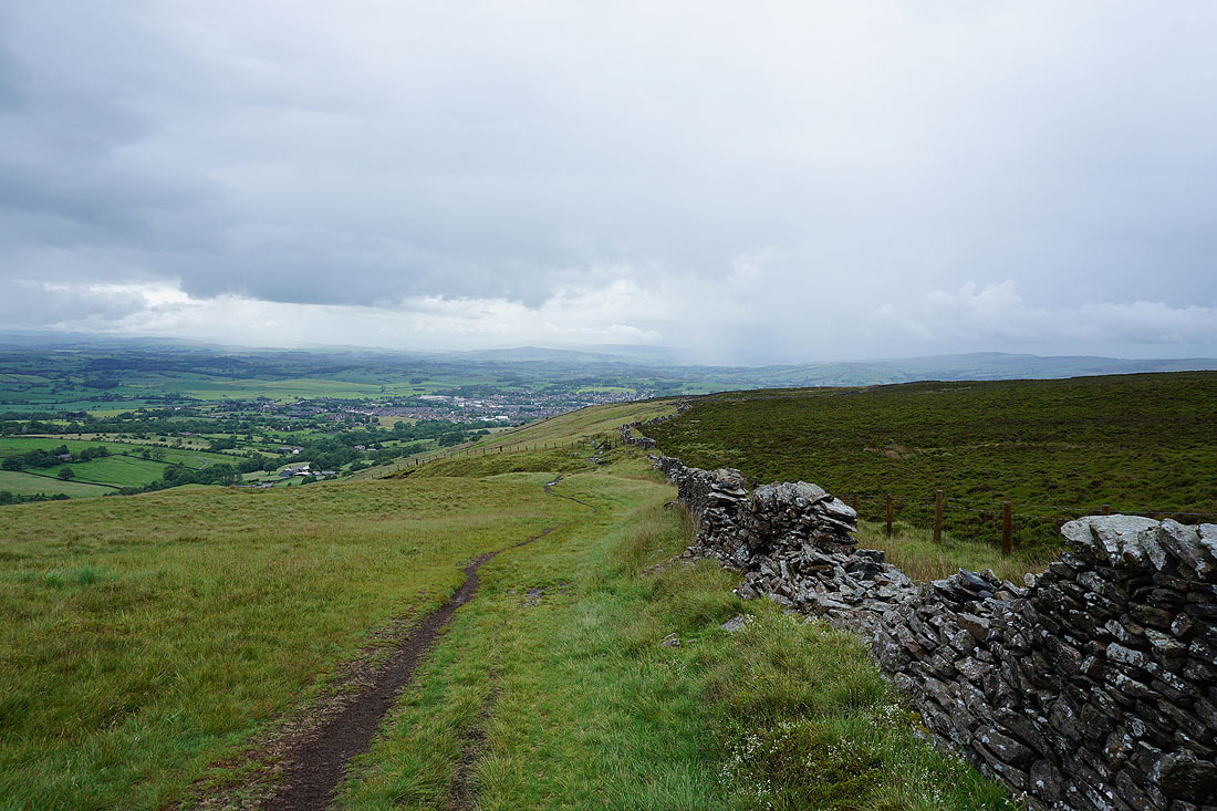
After sheltering behind a wall the latest shower is finally clearing away to the east. I'd better make some progress while the going is good.
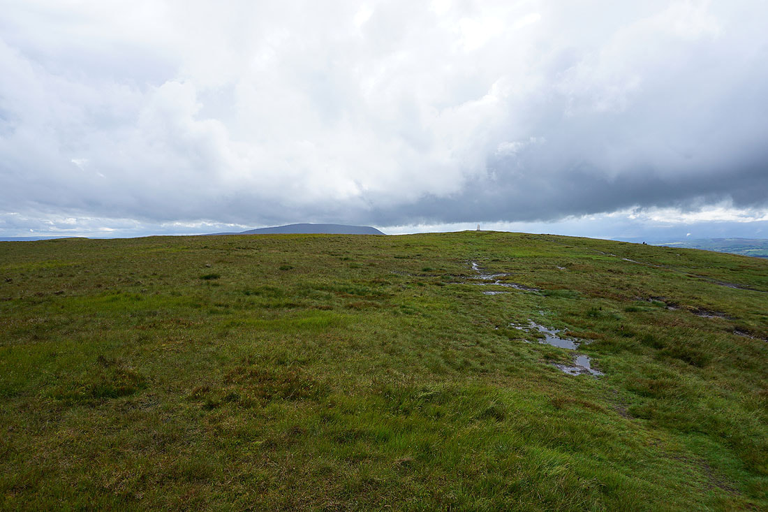
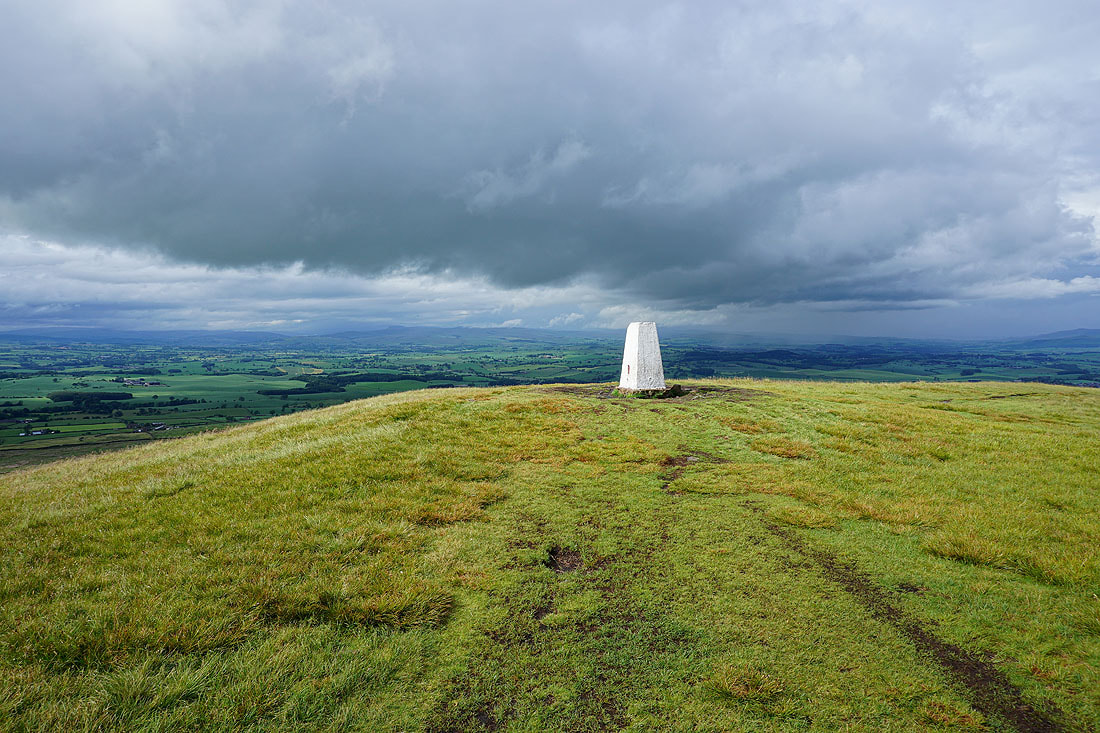
Approaching the summit
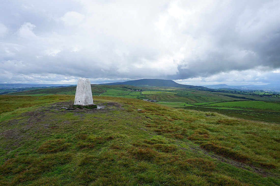
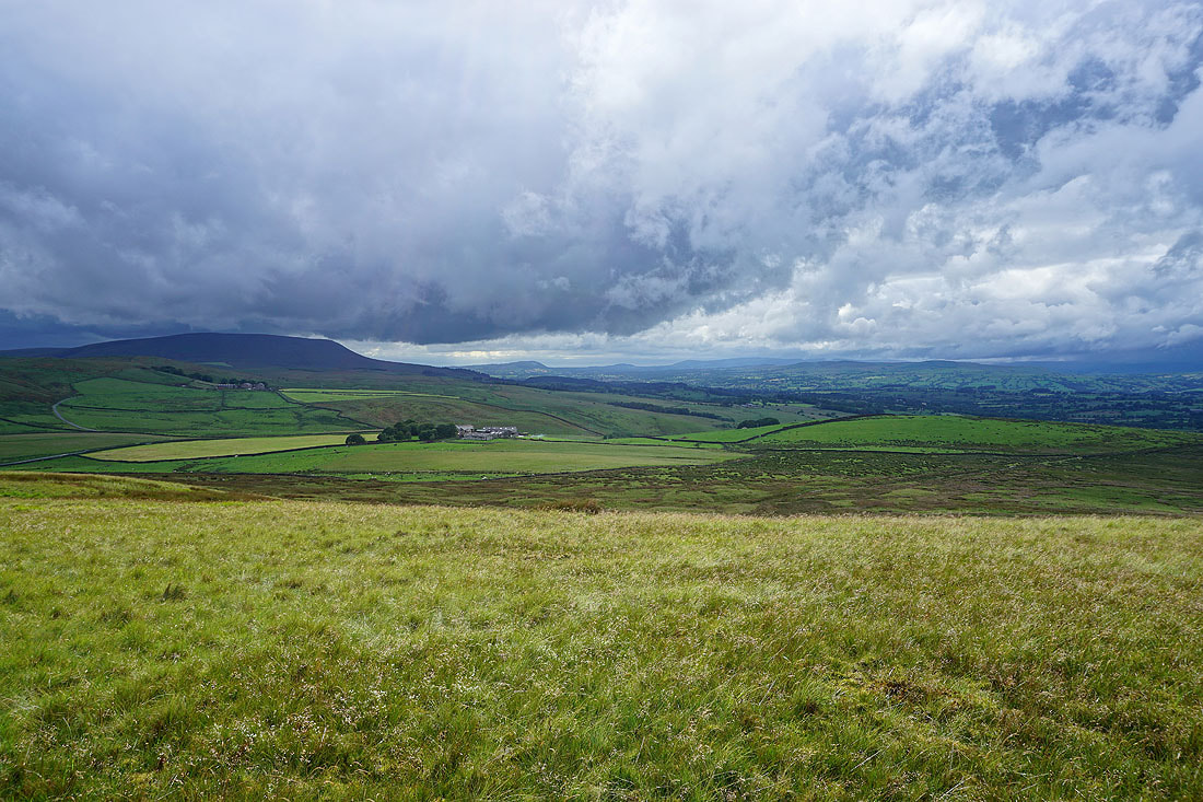
Pendle Hill from Weets Hill
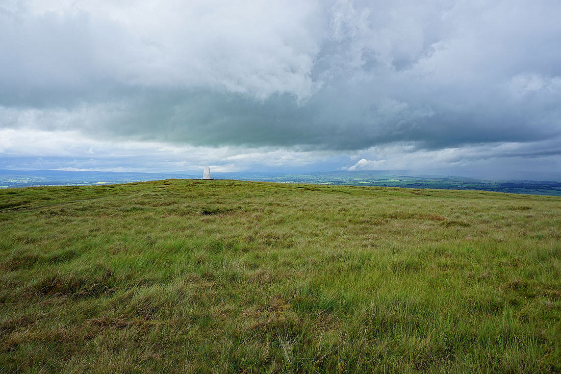
The cloud starts to clear from the distant Yorkshire Dales
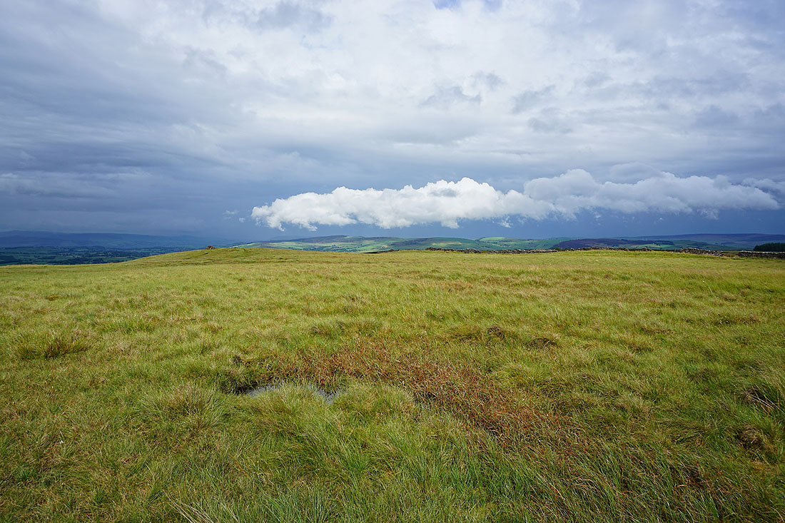
Dramatic skies over Thornton Moor and Bleara Moor to the east
The view north to the Yorkshire Dales has pride of place though...
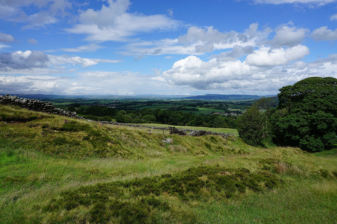
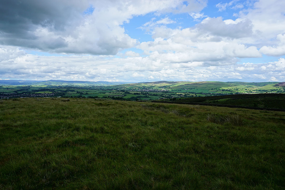
Pendle Hill and across the Ribble Valley to the Forest of Bowland
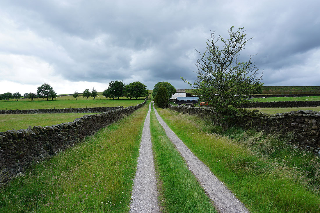
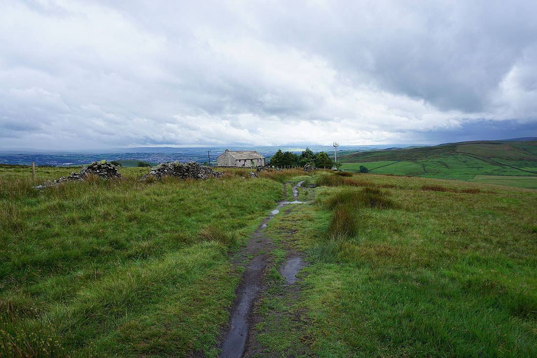
On the Pendle Way to Weets House Farm
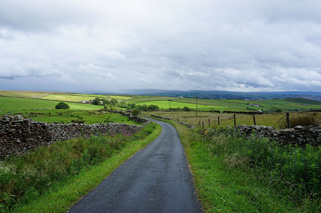
Heading down Gisburn Old Road
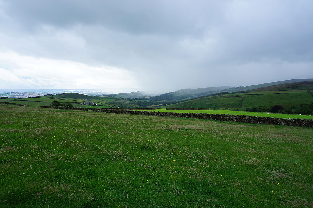
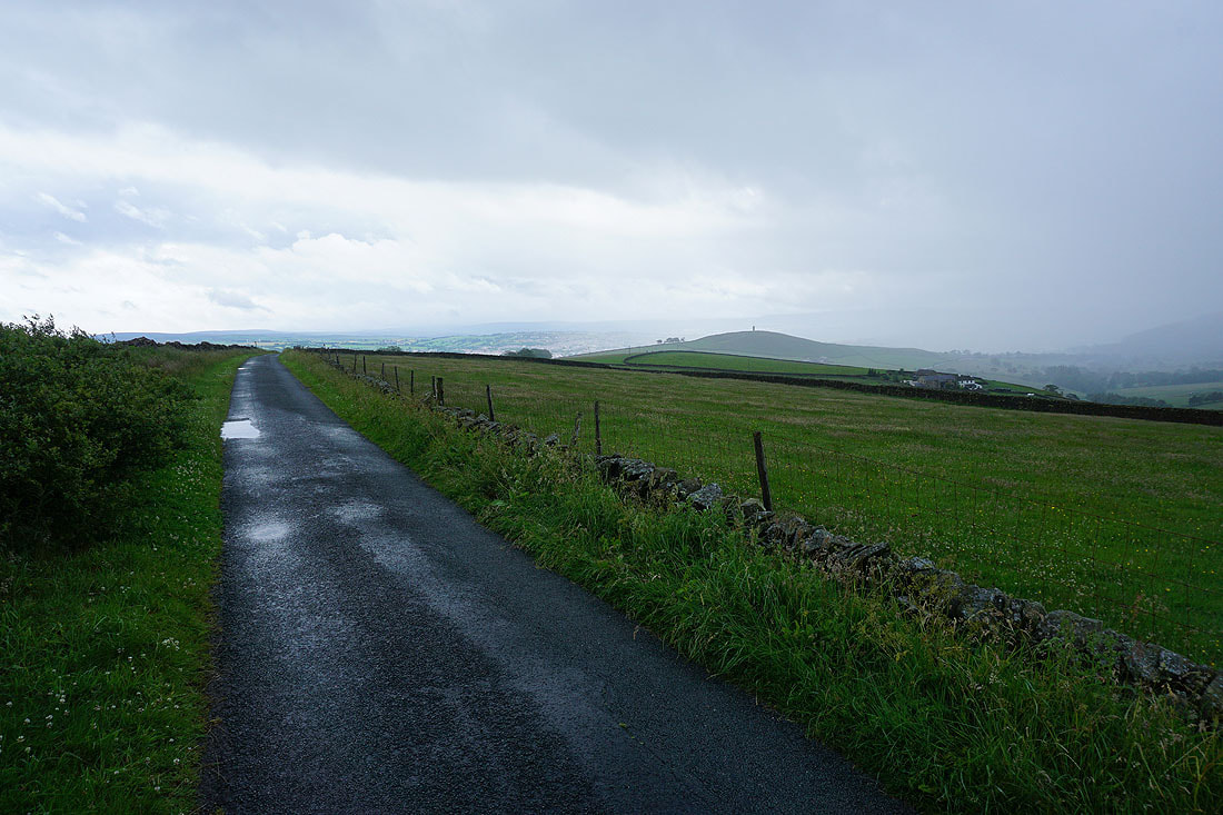
As another shower approaches, Blacko Hill and the countryside of the Forest of Pendle disappears from view..
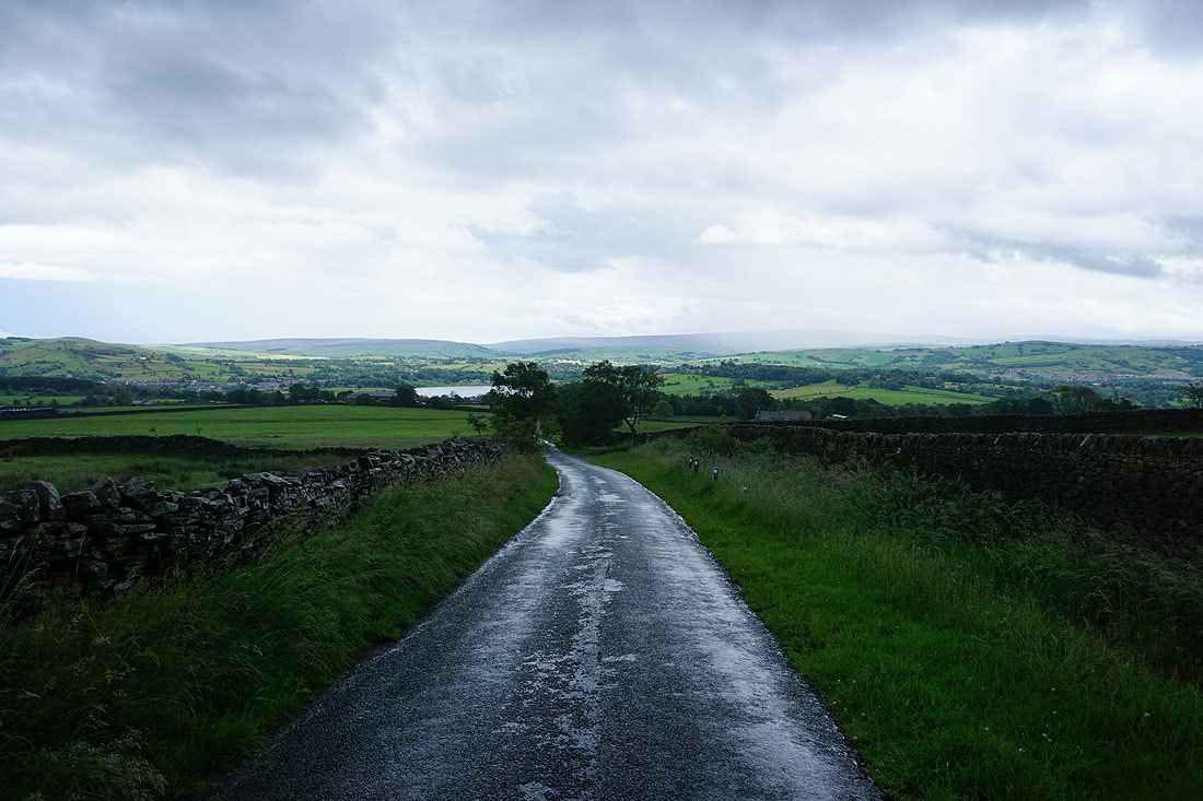
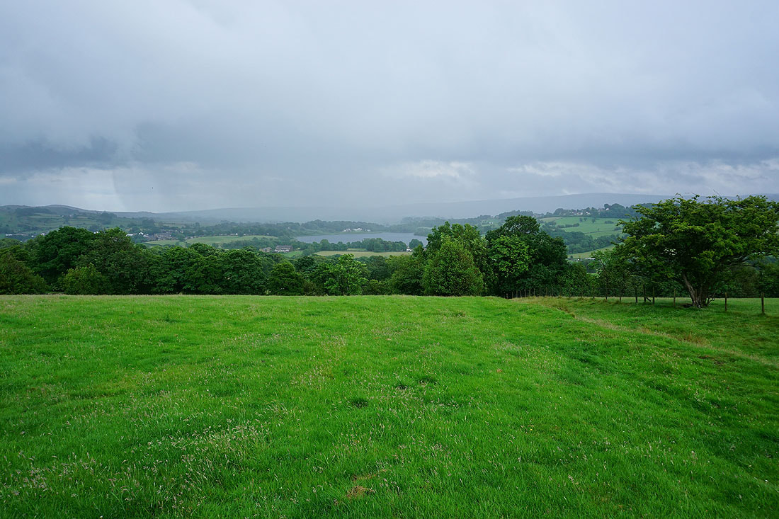
Ickornshaw Moor, Foulridge Lower Reservoir and Boulsworth Hill ahead
On the footpath from the Whitemoor Riding Centre down to Holly Bush Farm, after another downpour had me sheltering beneath a tree
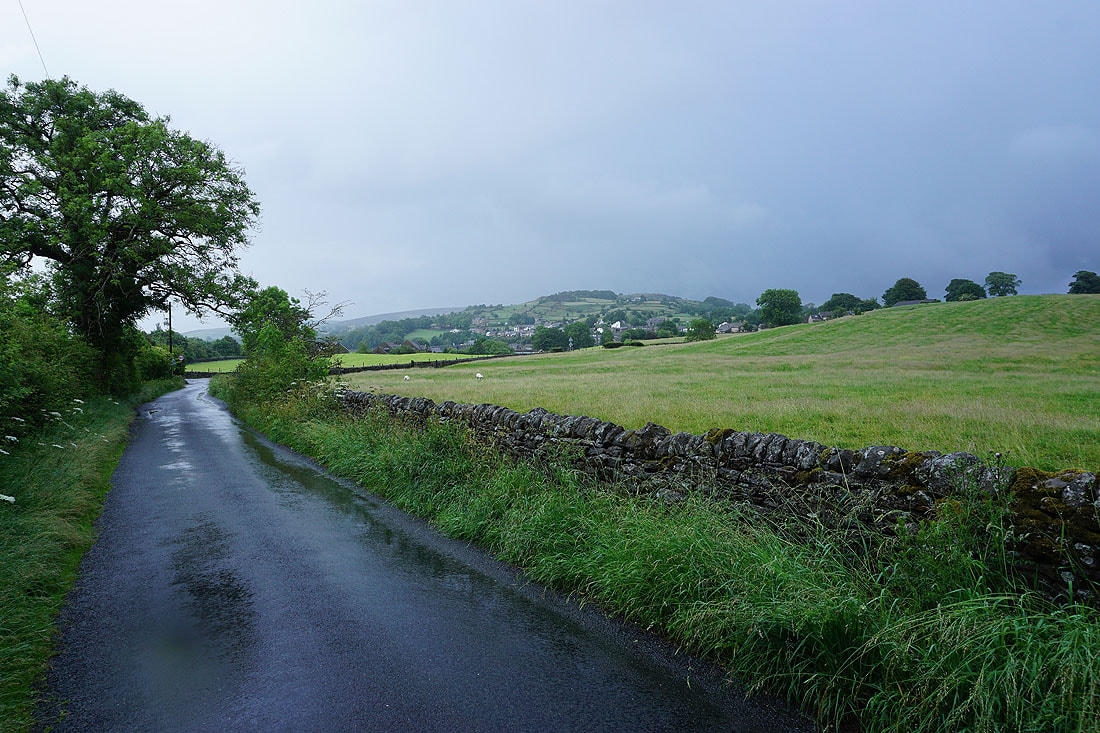
It's a wet end to the afternoon as I arrive back in Foulridge
