27th March 2012 - Great Gable
Walk Details
Distance walked: 8.2 miles
Total ascent: 3826 ft
OS map used: OL4 - The English Lakes, North-western area
Time taken: 6.5 hrs
Route description: Gatesgarth-Warnscale Bottom-Great Round How-Brandreth-Green Gable-Great Gable-Beck Head-Moses Trod-Drum House-Fleetwith Pike-Gatesgarth
Another clear and sunny day for this walk to Great Gable though the haze is back. You would never have guessed it was still March it was that warm.
From the car park at Gatesgarth Farm I took the path that heads around the base of Fleetwith Pike into Warnscale Bottom. This path climbs out of the valley to end up at the little plateau around Dubs Bottom. It was then a climb upto the summit of Brandreth. Next stop was Green Gable and then Great Gable. The steep rocky descent to Beck Head was done and from there I took the Moses Trod path to Honister. The final summit of the day was Fleetwith Pike and then it was a real test for the knees down Fleetwith Edge to Gatesgath.
Route map
© Crown copyright. All rights reserved. License number PU 100034184.
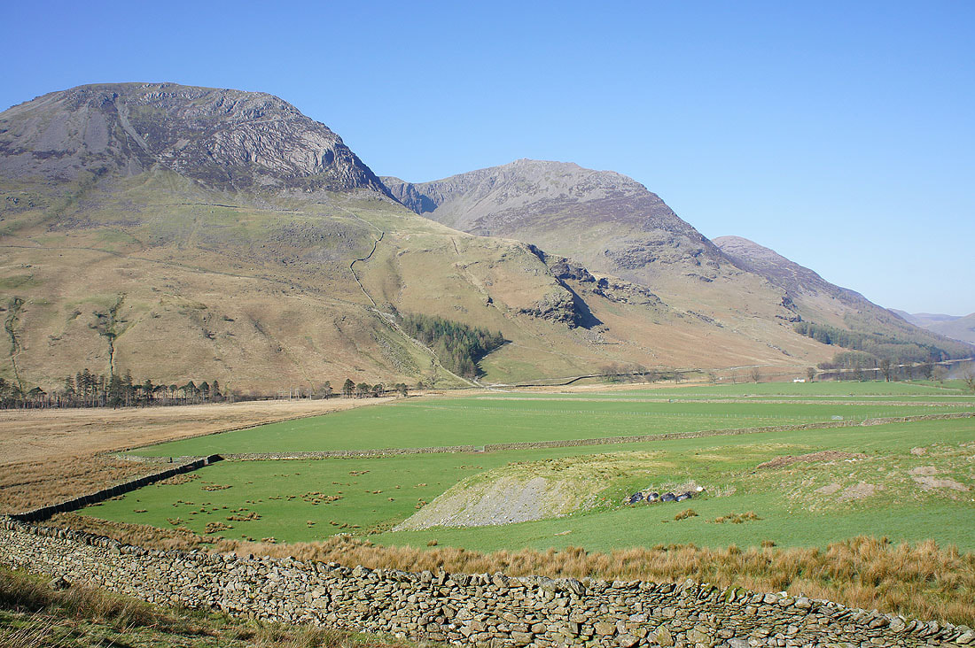
High Crag and High Stile from the path into Warnscale Bottom
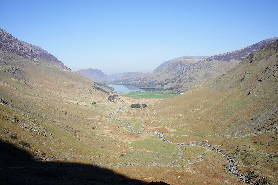
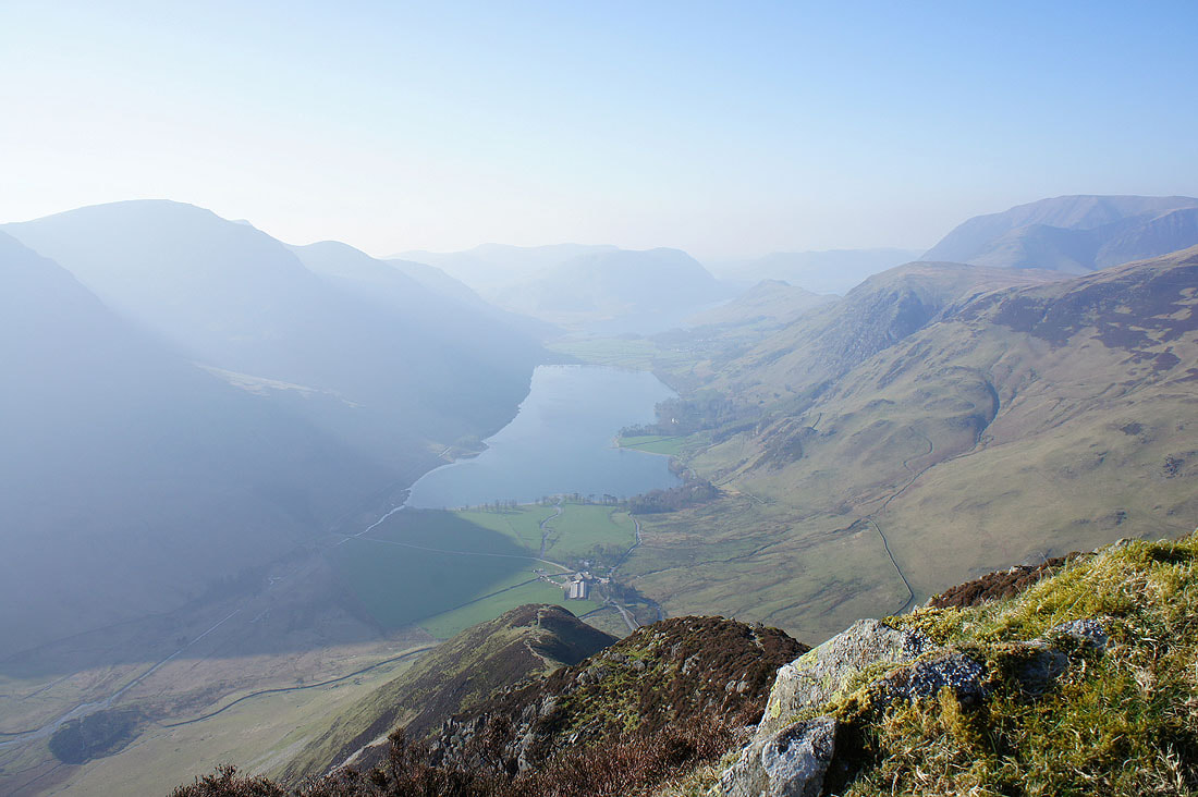
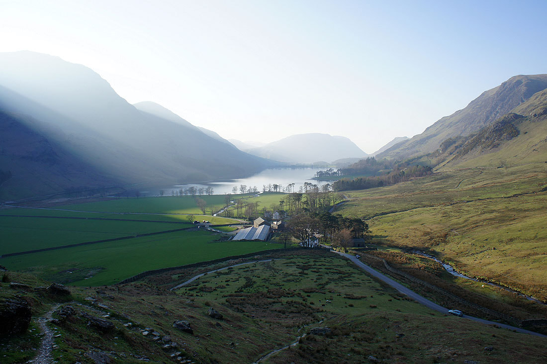
Buttermere and Warnscale Bottom from the path on the way up
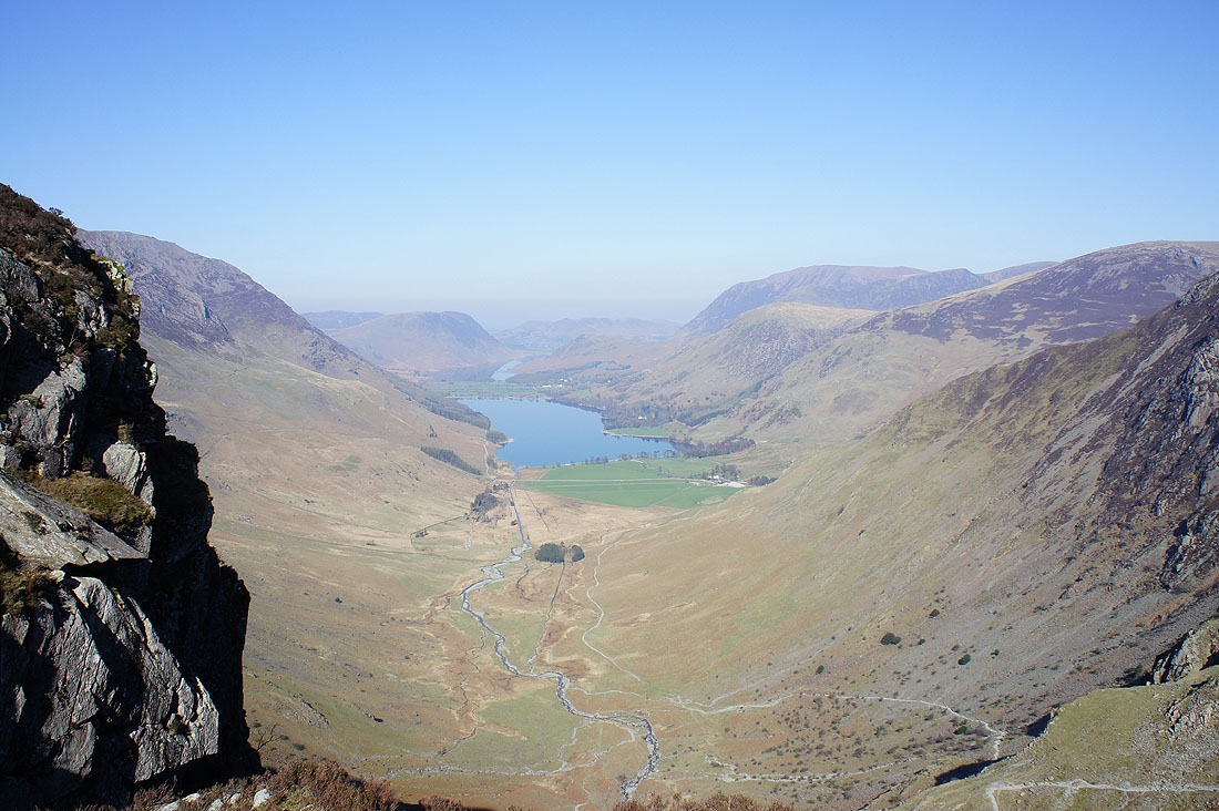
and again from the top of the climb
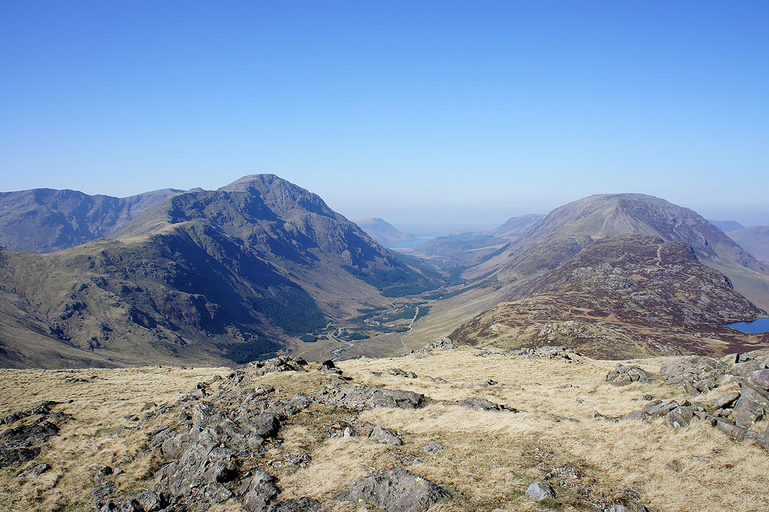
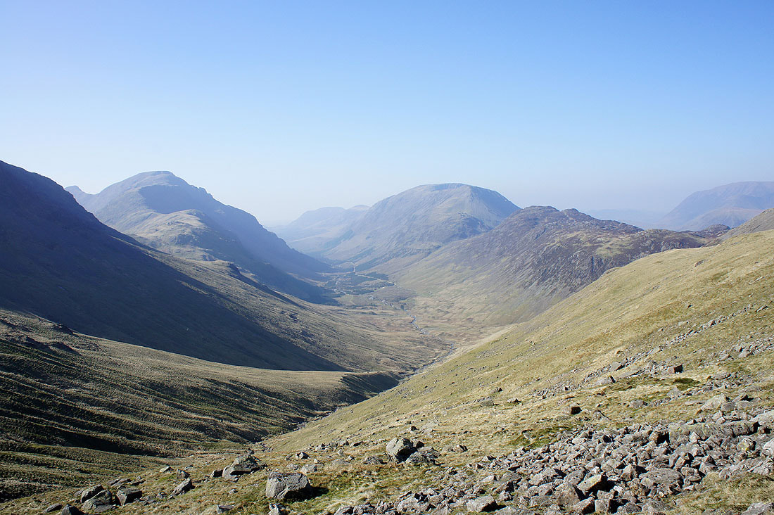
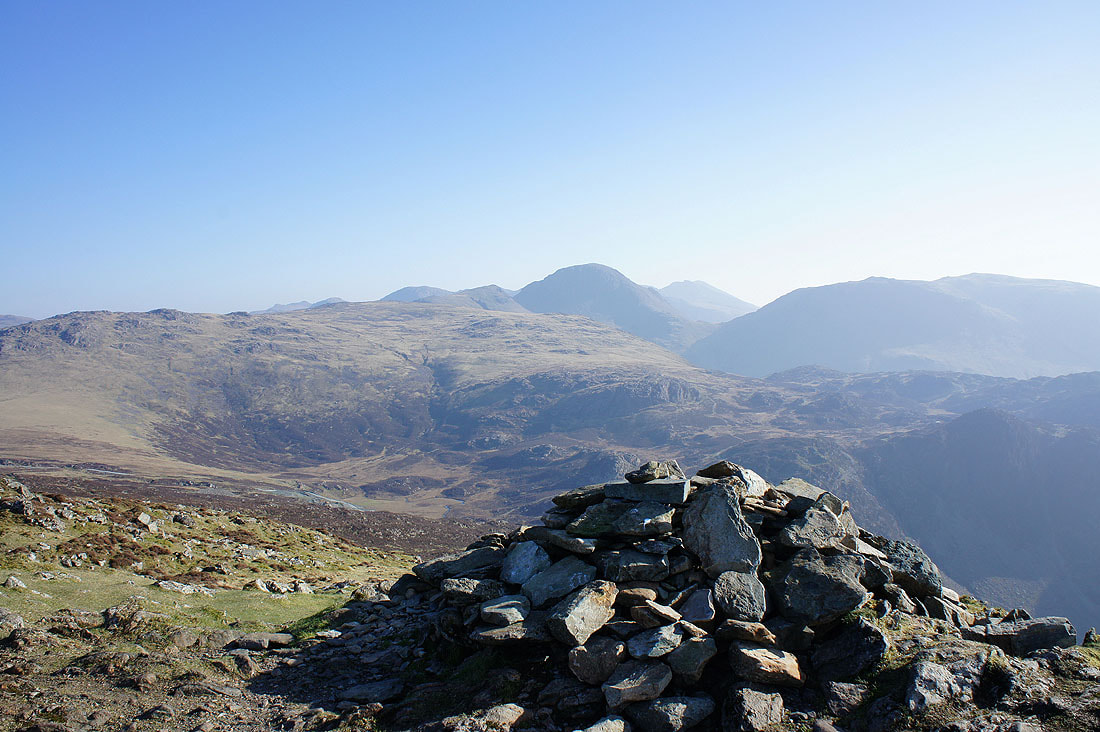
Pillar, Ennerdale and the High Stile ridge from the western slopes of Brandreth
Two for one. Two valleys in one shot. Ennerdale and Buttermere.
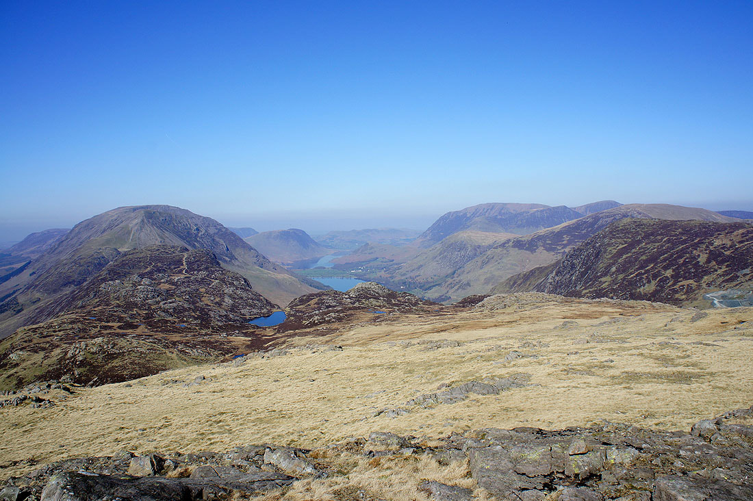
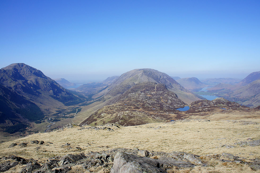
and finally the Buttermere valley. The small patch of water is Blackbeck Tarn.
A hazy view east to Helvellyn from Brandreth
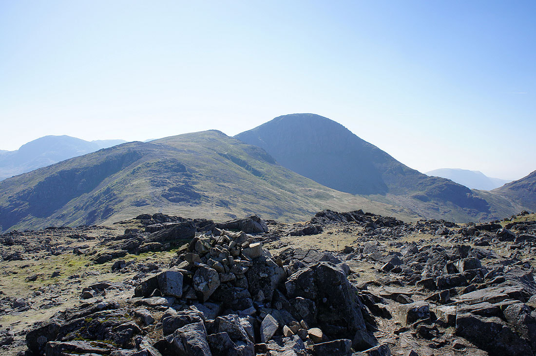
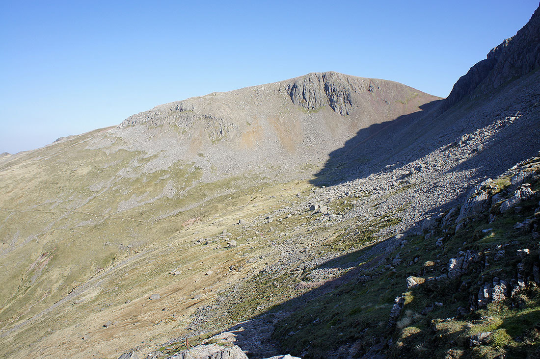
The next two summits ahead, Green Gable and Great Gable
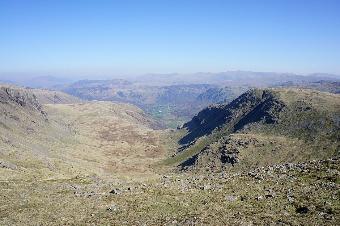
Heading for Green Gable you cross Gillercomb Head where you're treated to this view down into the hanging valley of Gillercomb and Borrowdale
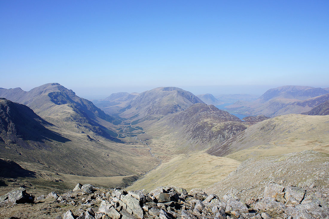
The view down Ennerdale from Green Gable
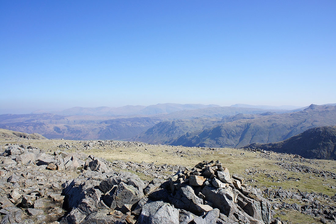
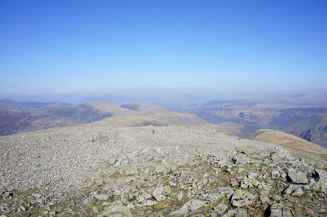
Helvellyn and Fairfield in the distance through the haze. The summit of Glaramara is closer on the right.
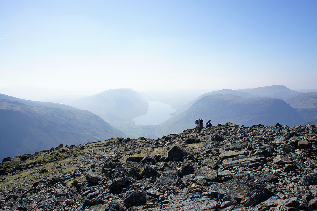
Wast Water from a very warm summit of Great Gable
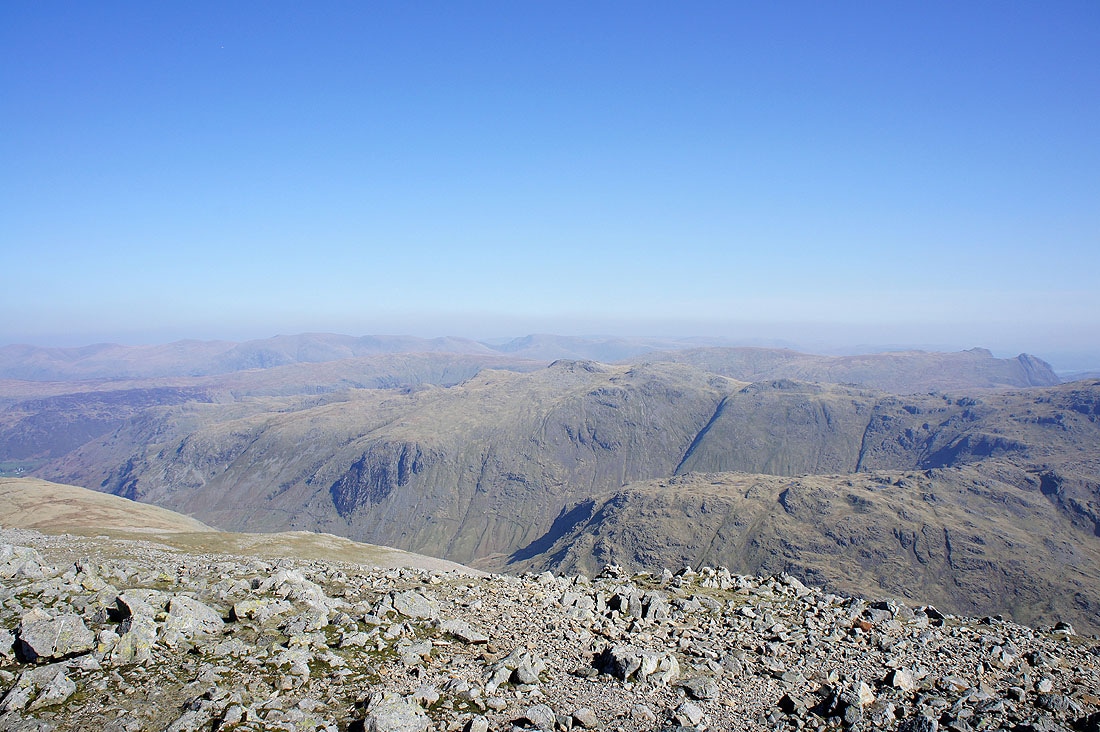
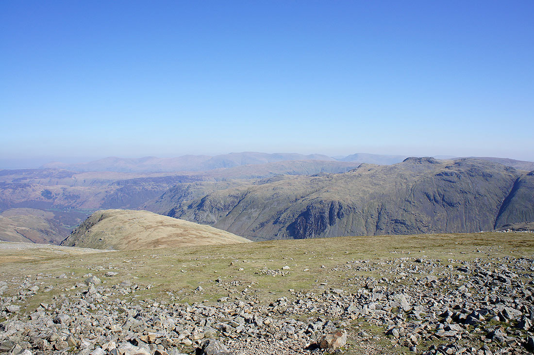
Helvellyn and Fairfield in the far distance. Glaramara is in the middle of the picture with Seathwaite Fell below it.
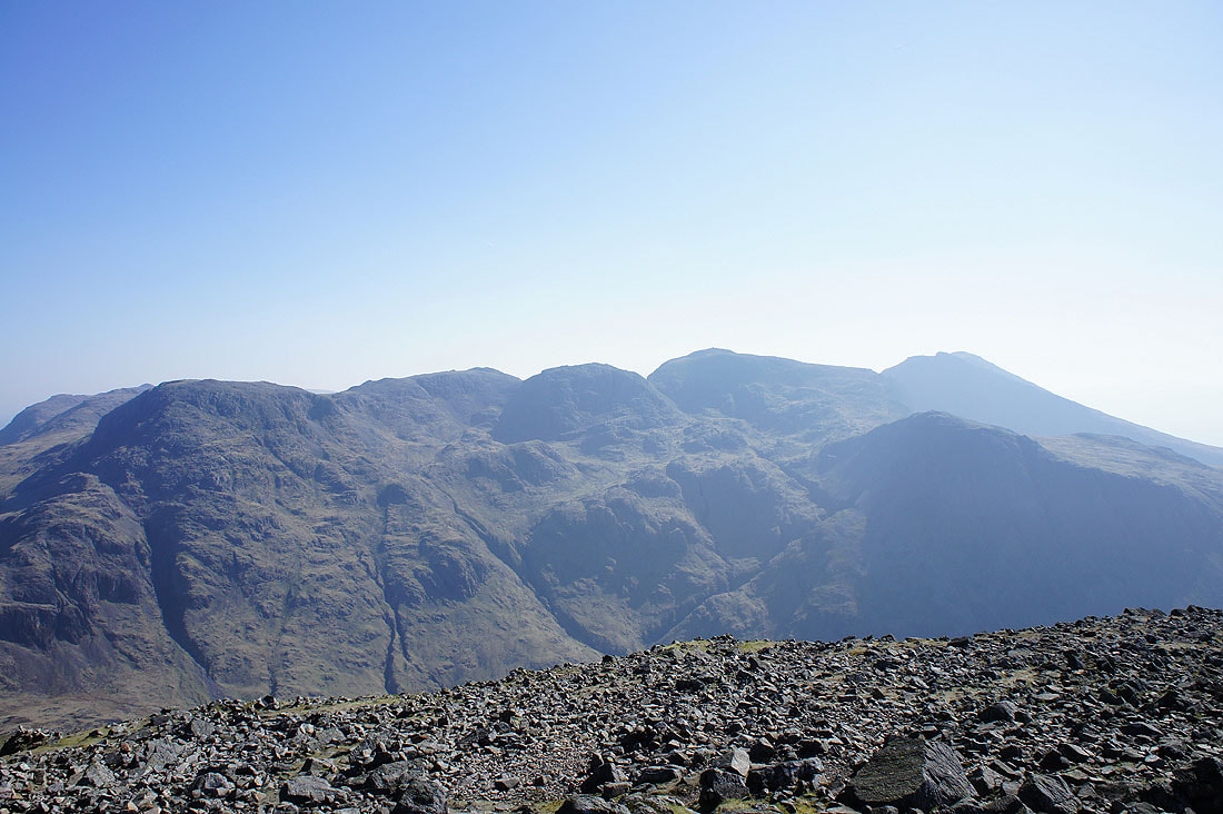
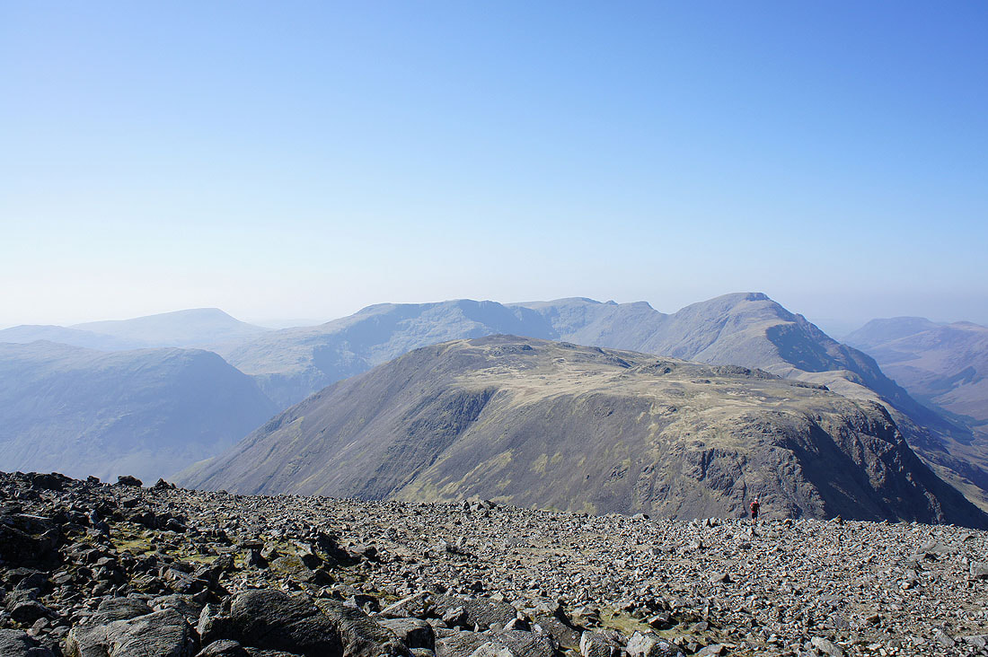
The Scafells
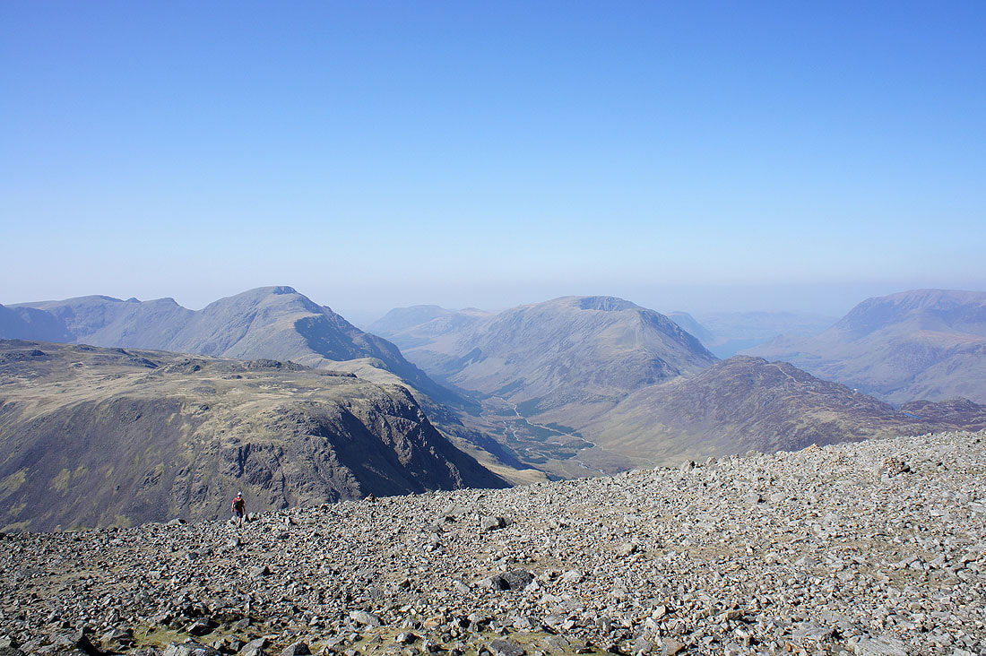
Pillar, Ennerdale and the High Stile ridge
Seatallan, Red Pike, Scoat Fell, Pillar and Kirk Fell
A very hazy view to the north of Skiddaw and Blencathra
From the summit of Great Gable I made my way down to Beck Head where I joined the Moses Trod path to Honister. This picture of Greengable Crag was taken from Moses Trod.
Ennerdale from Moses Trod
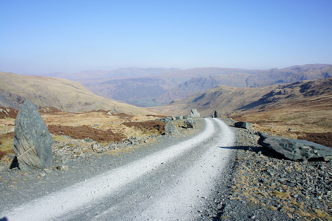
Crossing a quarry road as I head for Fleetwith Pike
Great Gable from Fleetwith Pike
One of the best views in the district in my opinion. Fleetwith Edge and Buttermere.
The final descent of Fleetwith Edge back to Gatesgarth Farm