27th March 2021 - Weets Hill and Twiston Moor
Walk Details
Distance walked: 15.0 miles
Total ascent: 2395 ft
OS map used: OL21 - South Pennines
Time taken: 7.5 hrs
Route description: Foulridge-B6251-Reedymoor Lane-Sand Hall-Slipper Hill Reservoir-Barnoldswick Road-Hollin Hall-Blacko Hill-Pendle Way-Gisburn Old Road-Weets Hill-Pennine Bridleway-Stocks Lane-Middop Hall-Whytha Road-Rimington Moor-Twiston Moor-Black Moss Road-Stang Top Road-Brown Hill-Pendle Way-Blacko Hill-Hollin Hall-Barnoldswick Road-Slipper Hill Reservoir-Sand Hall-Reedymoor Lane-Foulridge Lower Reservoir-B6251-Foulridge
A fine spring day for a long walk across the moors to the west of where I live in Foulridge. I've certainly become familiar with my local moors during the past few months and I can't help but repeat myself now, but at least with the longer days I can walk further and come up with more variations. It's turned a bit colder since last weekend and there was a dusting of snow on the top of Pendle Hill and on the high tops in the Yorkshire Dales. I set off from home with sunny spells and a brisk, cold breeze, which lasted into the middle of the afternoon when it clouded over and became even breezier.
From where I live in Foulridge I walked up to and then west along the B6251, then along Reedymoor Lane to Foulridge Lower Reservoir. I then walked up the track to Sand Hall, took the footpath on the left past Slipper Hill Reservoir and to Slipper Hill, where I crossed the lane and took the footpath opposite past cottages and up the hillside to Barnoldswick Road. After crossing the road I took the footpath opposite from Hollin Hall up onto Blacko Hill and then north to join the Pendle Way to Gisburn Old Road. I then walked up Gisburn Old Road to its top at Weets House Farm, and from there I took the path to the top of Weets Hill. After a stop for a break and to take in the view, I returned to the top of Gisburn Old Road and took the Pennine Bridleway and followed it north until I reached Stocks Lane, which took me west and across the A682 to Middop Hall. From Middop Hall I then walked west along Whytha Road and past Whytha Farm, before turning left and taking the track uphill past Higher Gills Farm to reach the footpath up onto Rimington Moor, where I found a spot to stop for lunch. After this break I followed the footpath west across Rimington Moor, over Ings Beck, then along a track above Smithy Fold and onto Twiston Moor. I then made my way south across Twiston Moor before taking a footpath west to Black Moss Road, which I walked east along to reach Stang Top Road. After walking south along Stang Top Road I took a track on the left onto Brown Hill, then a footpath down to a footbridge over Blacko Water, where I joined the Pendle Way. I then followed the Pendle Way north to Admergill Hall Farm, by Admergill Water, up to and across the A682 and by Admergill Pasture Cottage, where I joined my outbound route. I retraced my steps from here to get back home but with a detour round Foulridge Lower Reservoir.
Route map
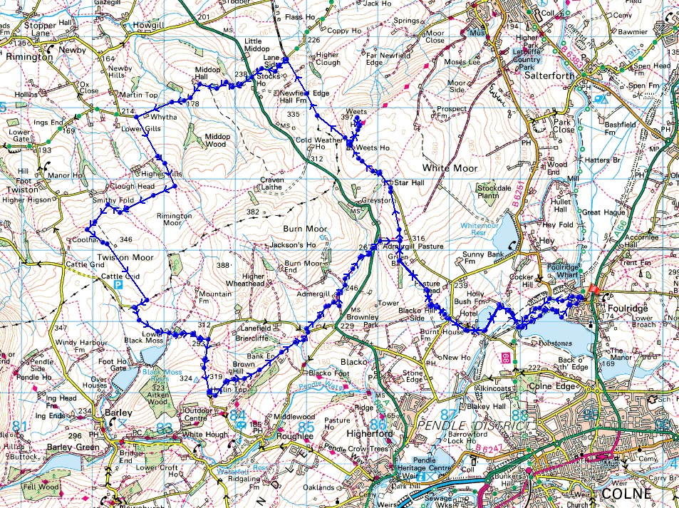
© Crown copyright. All rights reserved. License number PU 100034184.
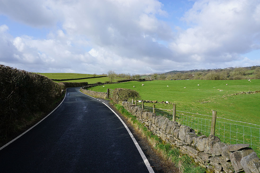
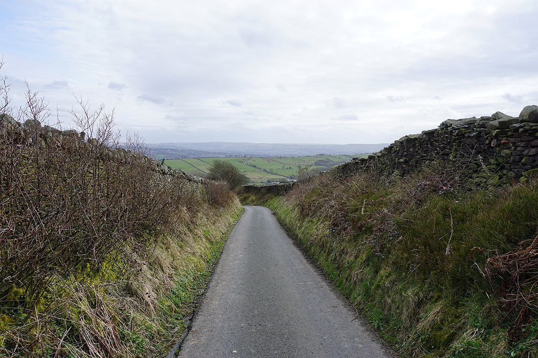
Leaving Foulridge on the B6251
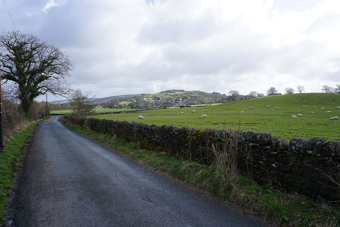
Looking back to Foulridge beneath Noyna Hill
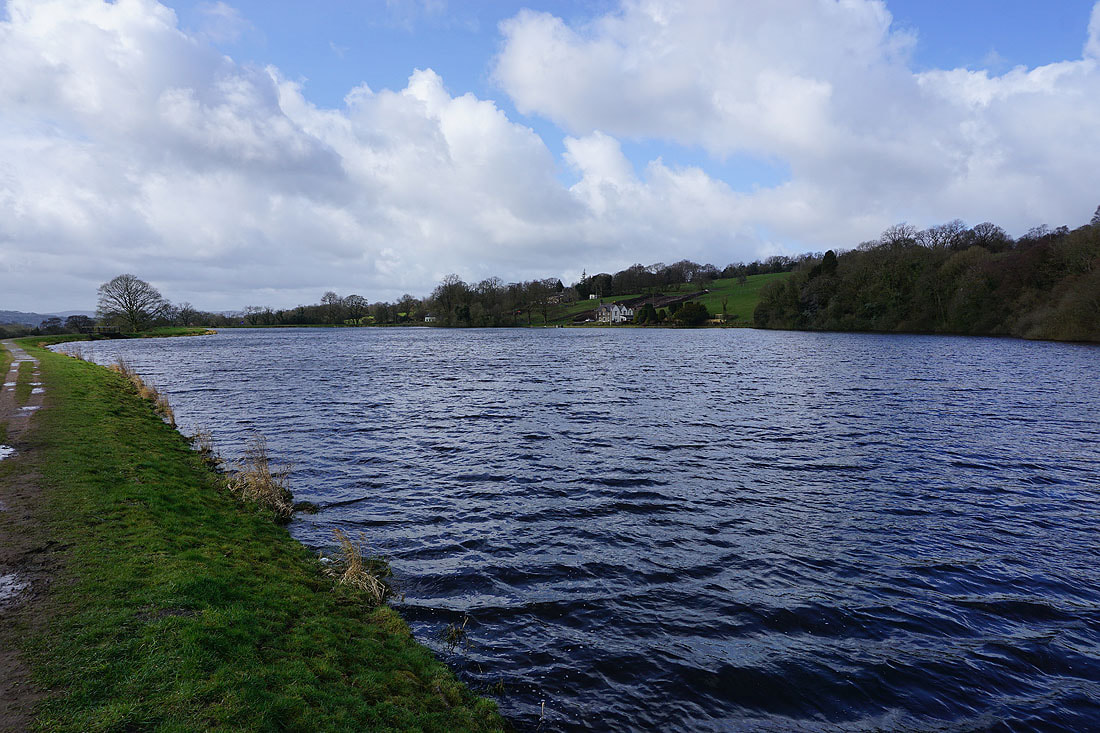
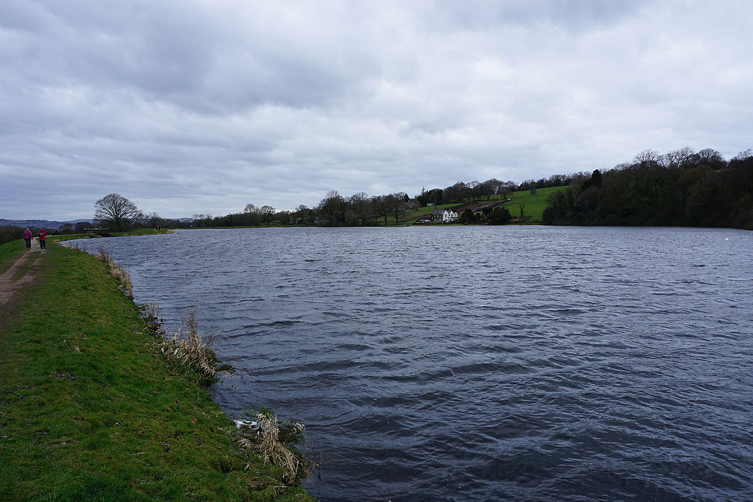
Making my way round Slipper Hill Reservoir..
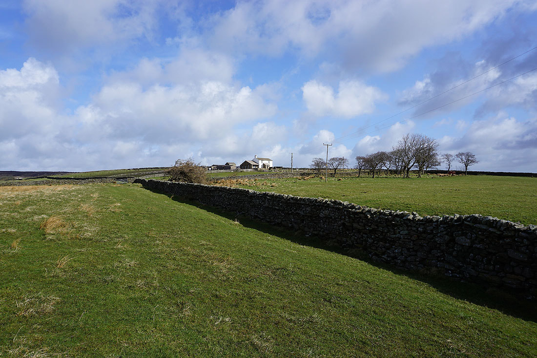
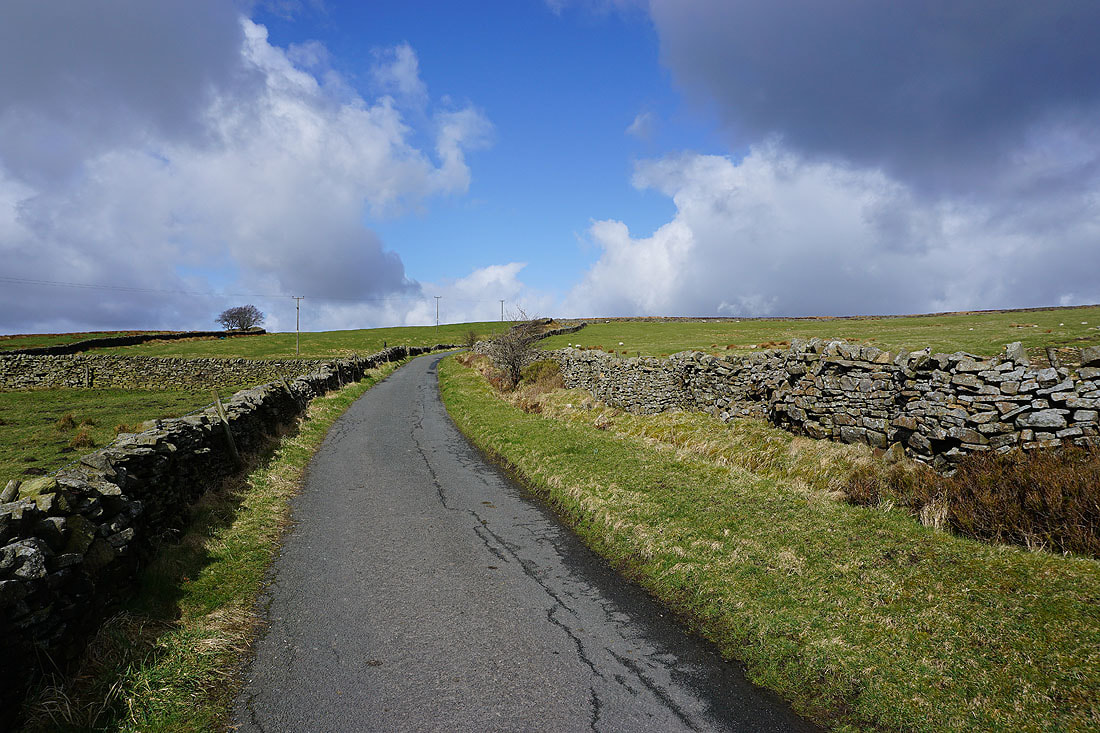
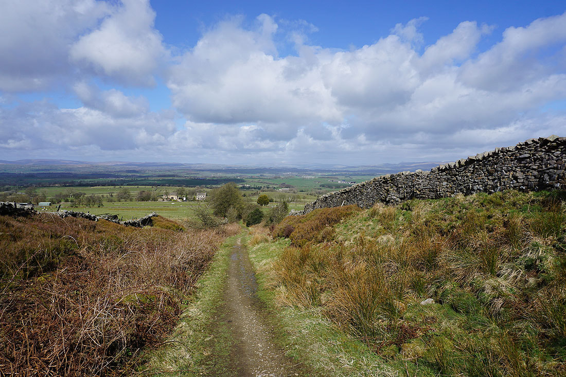
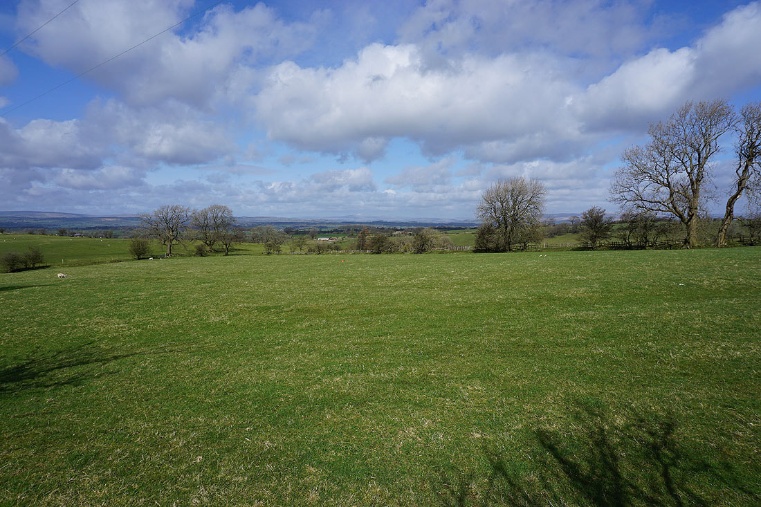
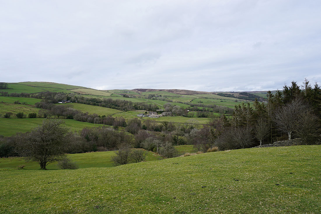
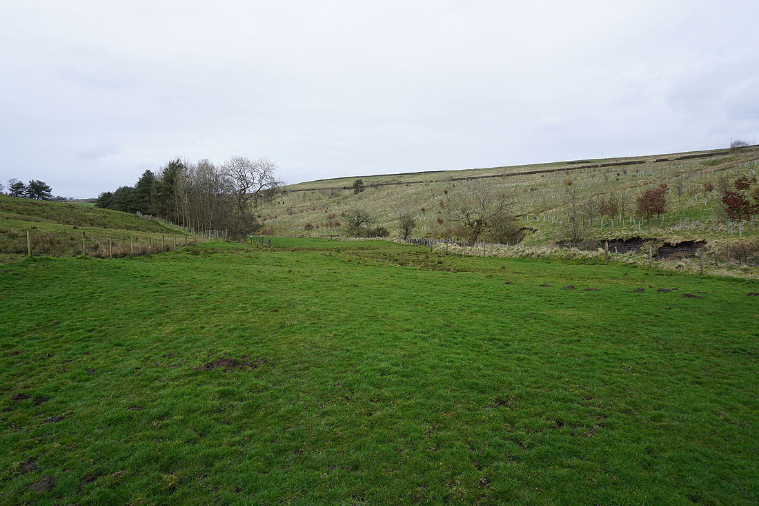
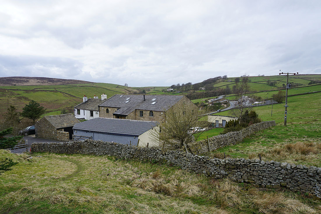
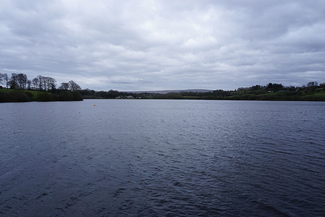
Foulridge Lower Reservoir and Boulsworth Hill in the distance as I head up onto Blacko Hill
Blacko Hill and Pendle Hill
Heading for Peel's House Farm to join the Pendle Way
Burn Moor and Greystone Moor
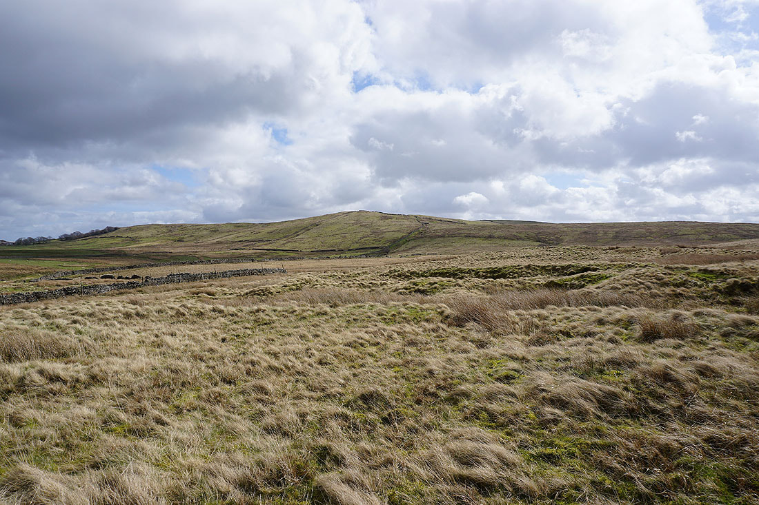
On the Pendle Way with Weets Hill ahead
Blacko Hill, the Forest of Pendle and Pendle Hill
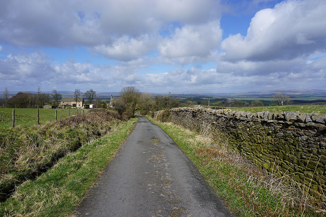
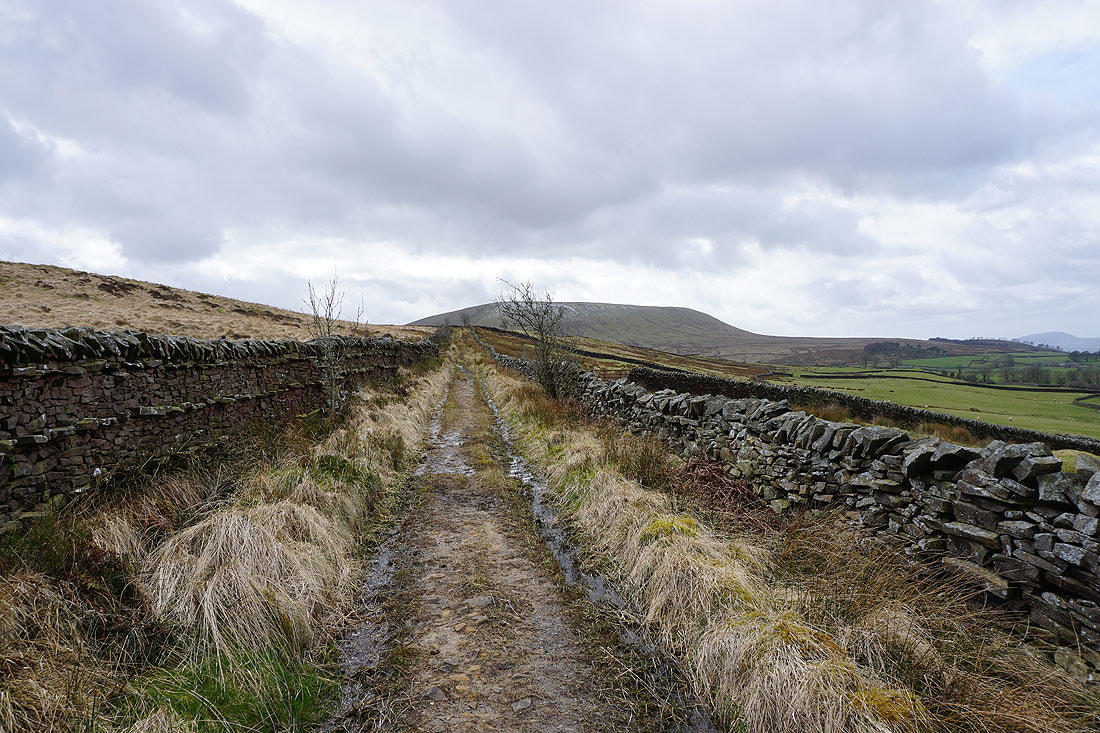
Heading up Gisburn Old Road
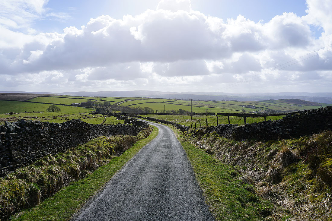
Looking back with Boulsworth Hill in the distance
Pendle Hill with a dusting of snow, and part of the Forest of Bowland on the other side of the Ribble Valley, as I make my way up Weets Hill
Blue skies above
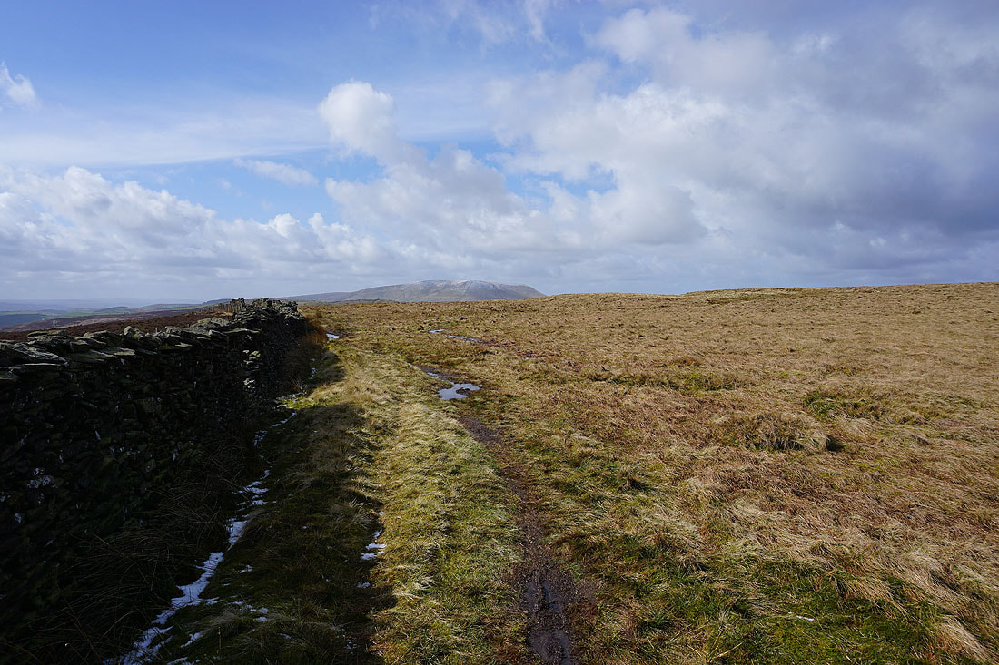
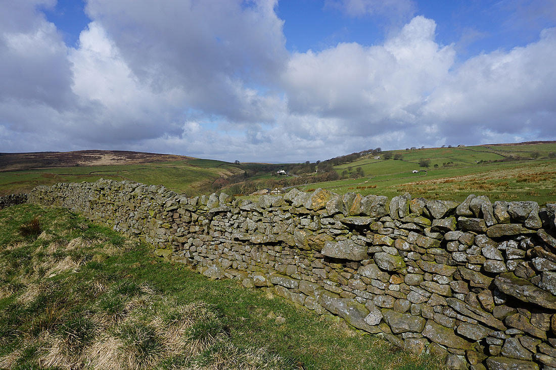
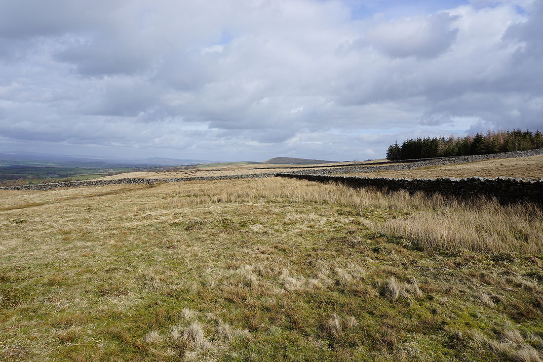
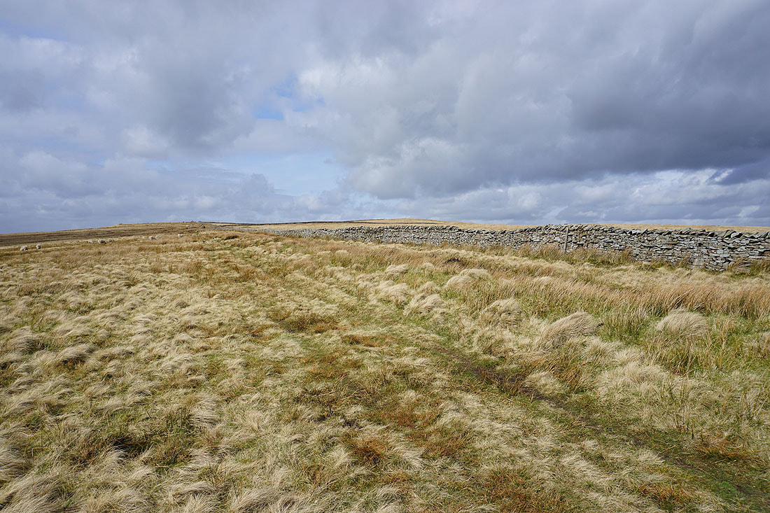
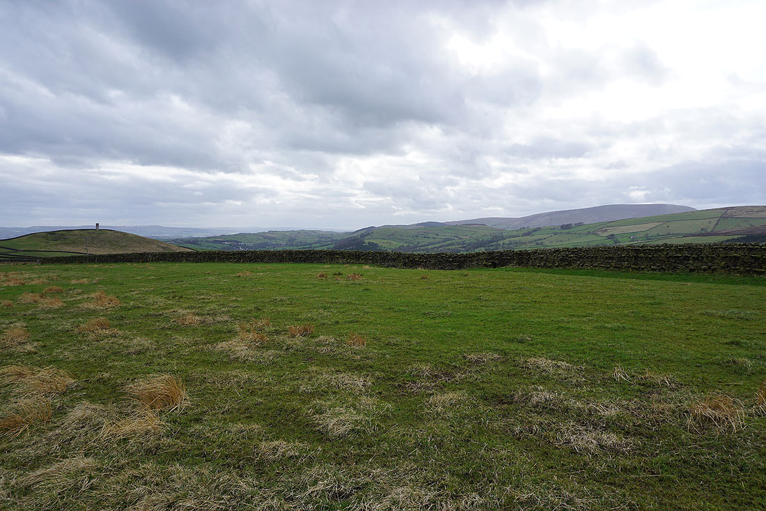
The wall that runs across the top of Weets Hill make a good foreground. Looking southwest to Pendle Hill..
..and northeast to Barden Moor
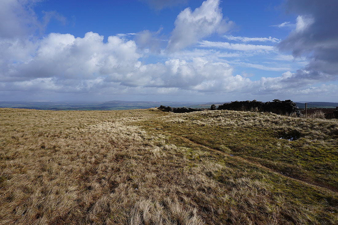
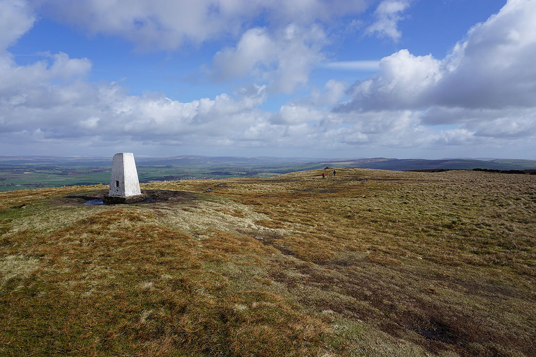
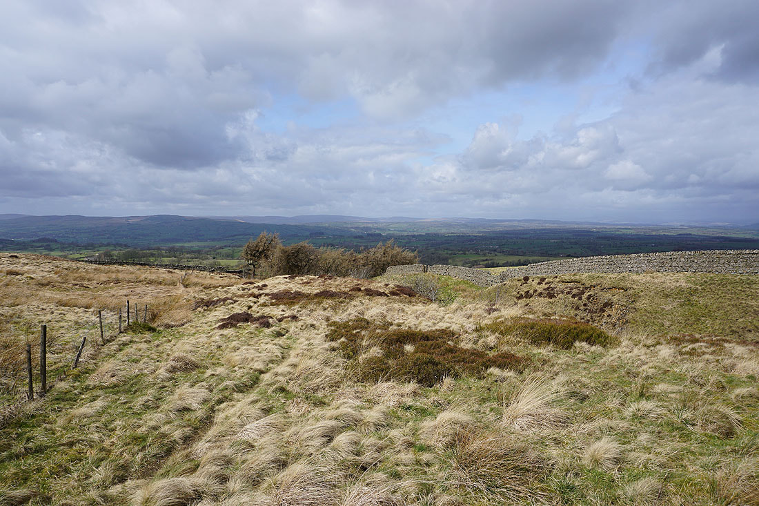
At the eastern end of the hill
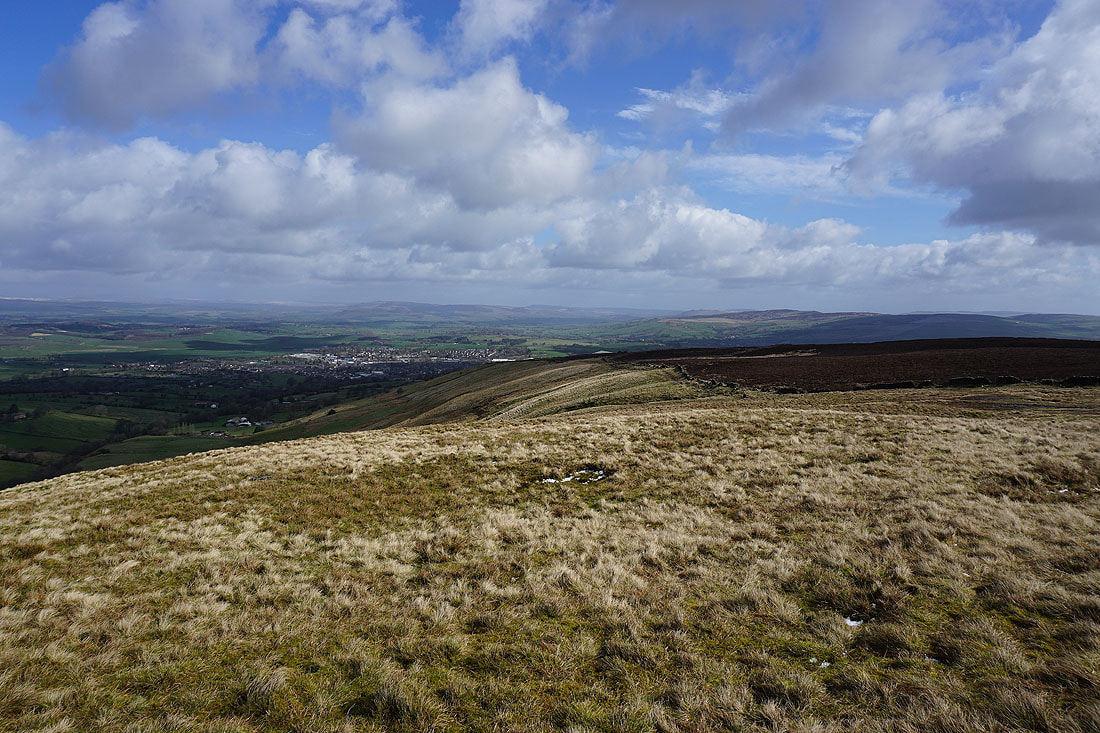
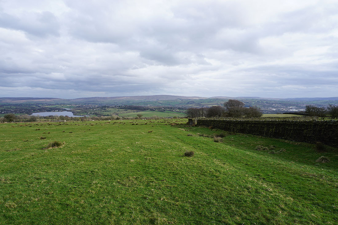
Barnoldswick, Barden Moor and Pinhaw Beacon
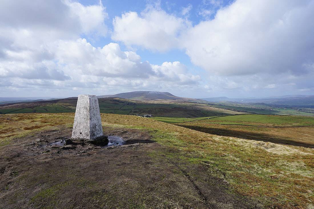
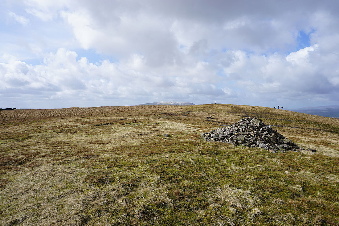
Pendle Hill from the trig point on Weets Hill
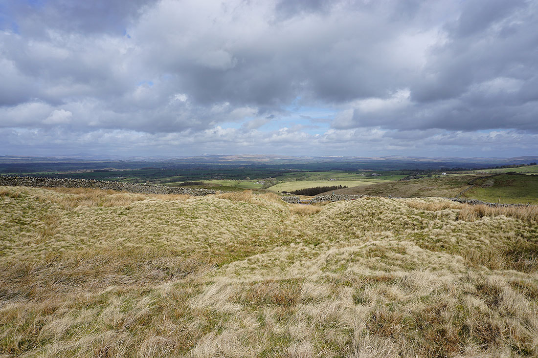
Looking north to the Yorkshire Dales. The visibility isn't quite good enough to make the hills out clearly but I can see the snow on the higher tops.
Looking east from the trig point to Barden Moor and Pinhaw Beacon
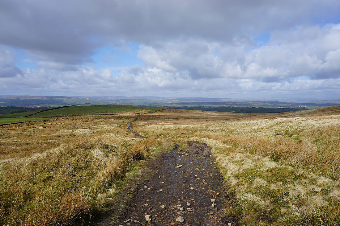
Heading north on the Pennine Bridleway...
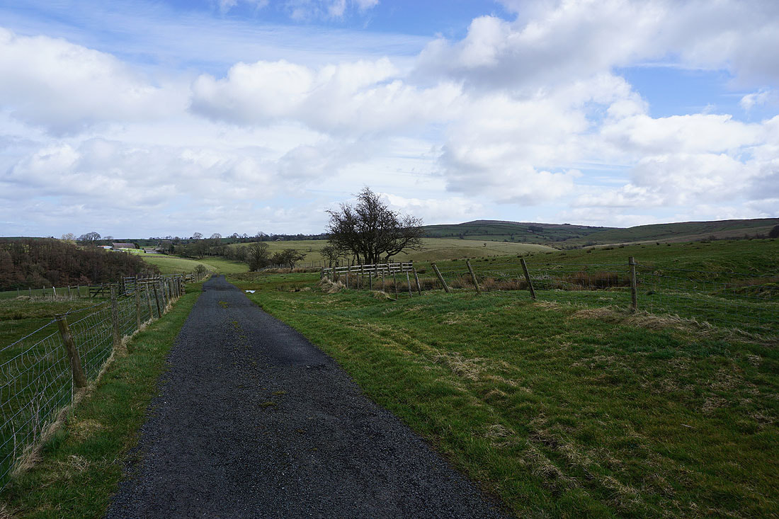
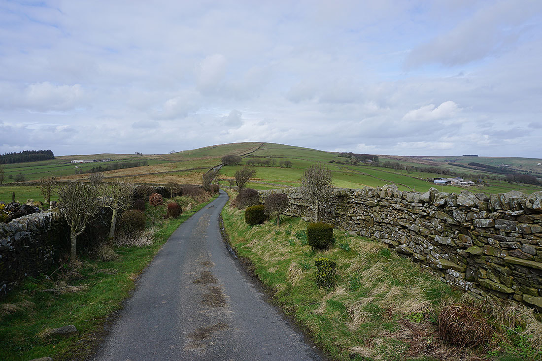
..then west along Stocks Lane
Pendle Hill on the left as I pass Higher Laithe
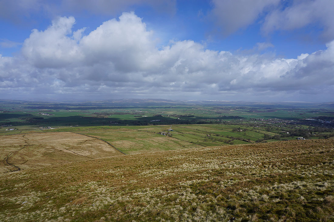
There's a great view looking north across the Ribble Valley to Ingleborough
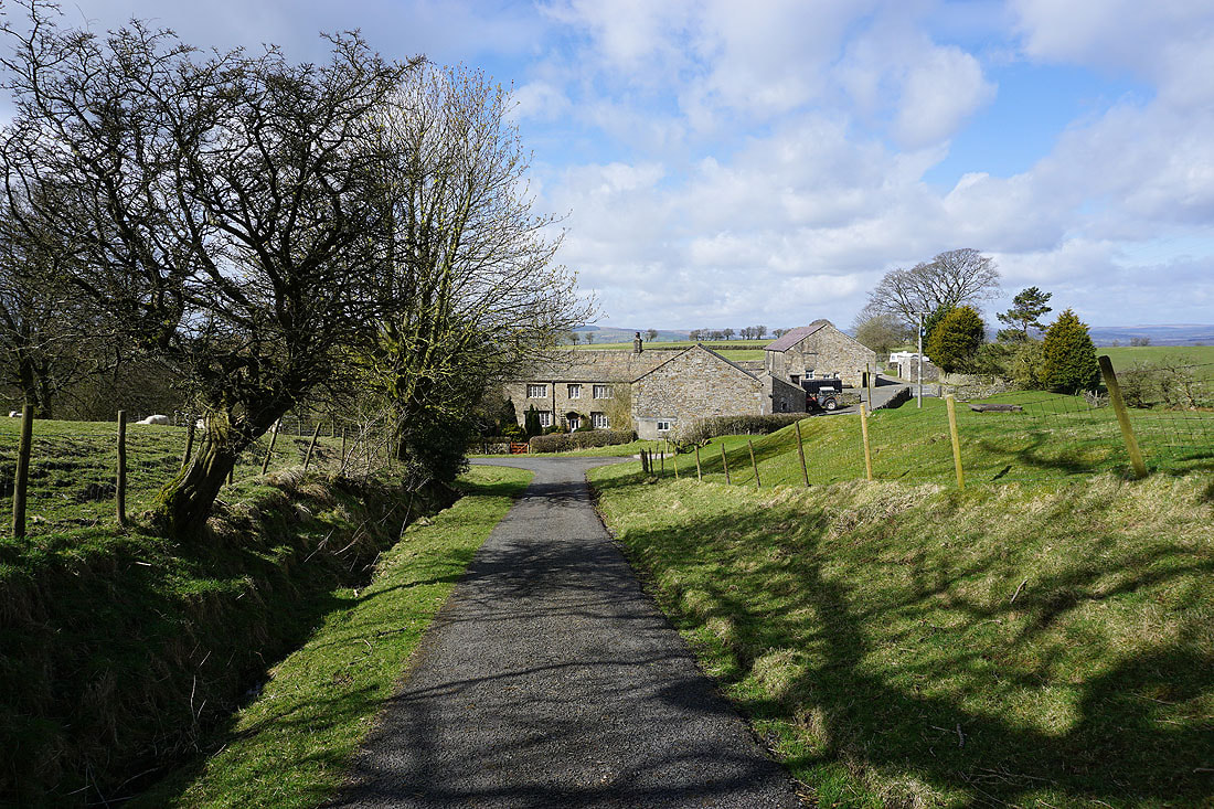
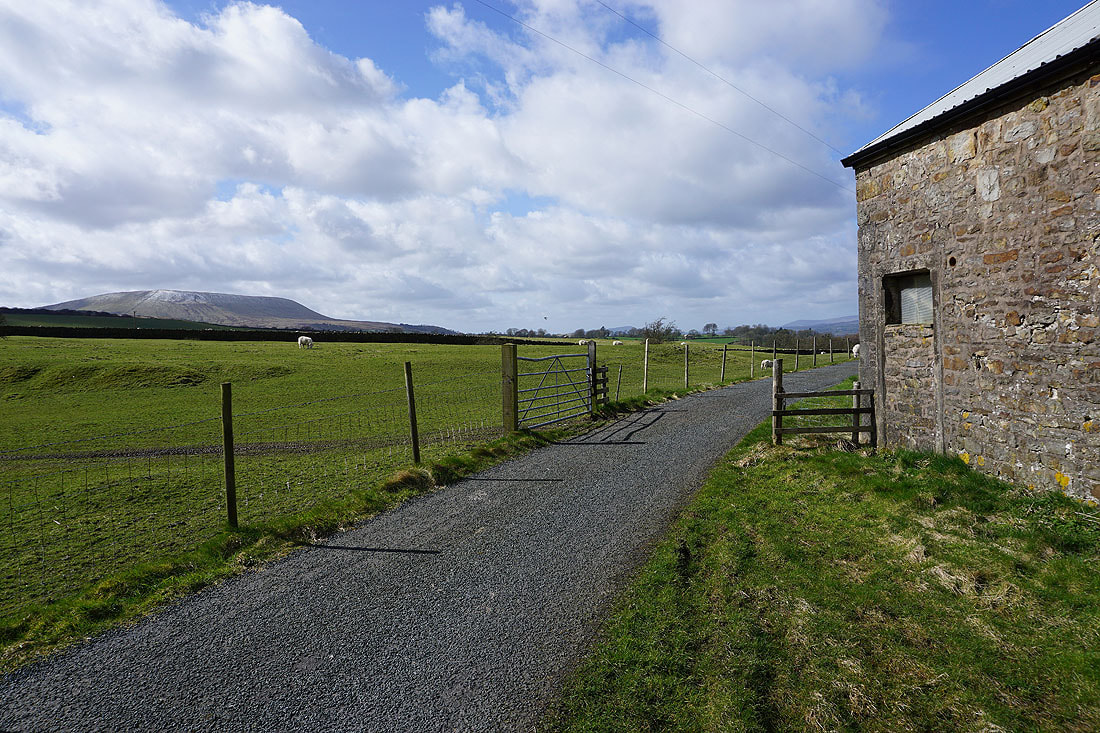
Middop Hall
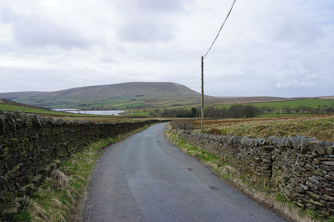
Looking back along Whytha Road with Weets Hill on the right
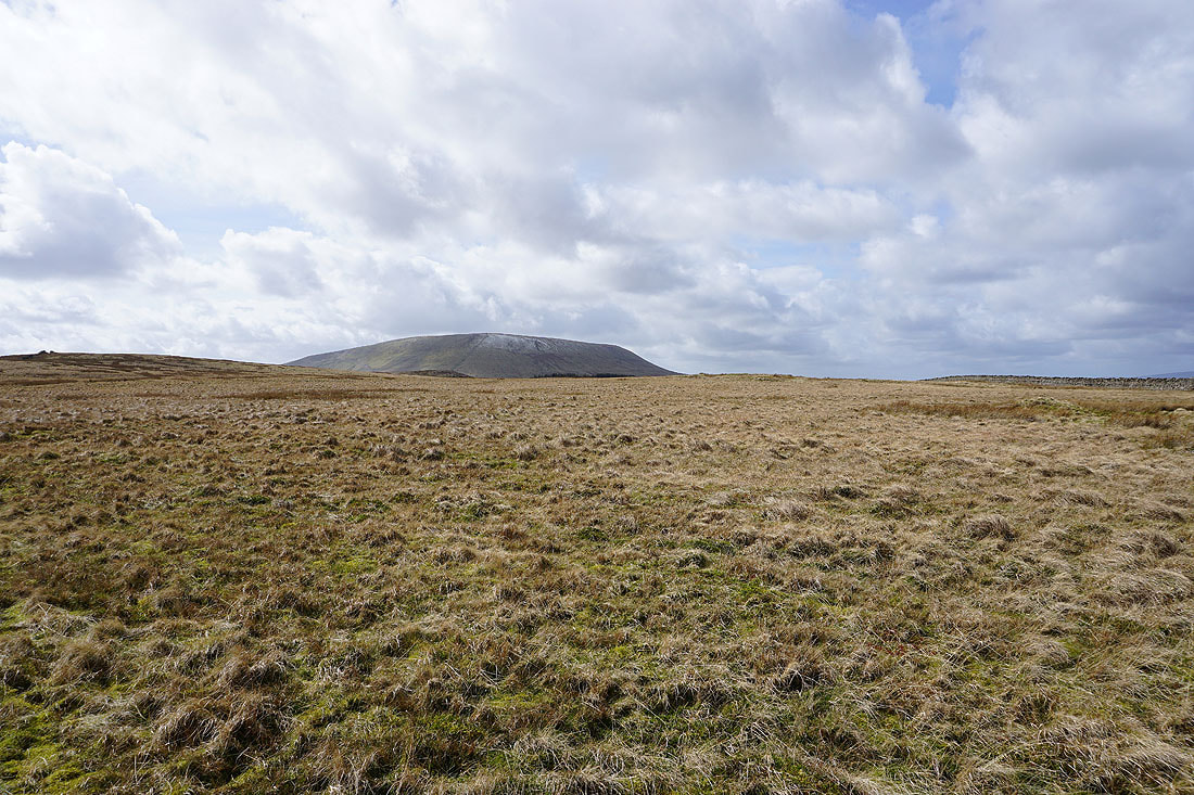
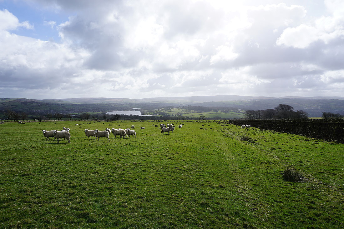
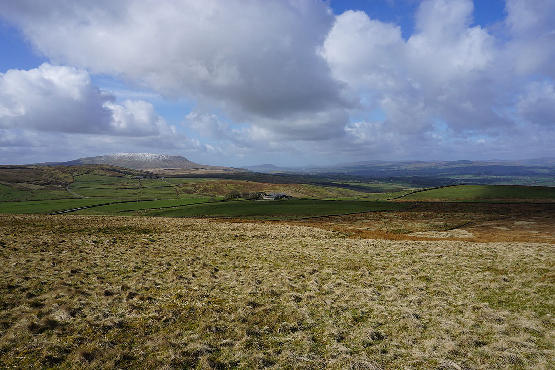
Pendle Hill from Rimington Moor
The northern end of Wheathead Height
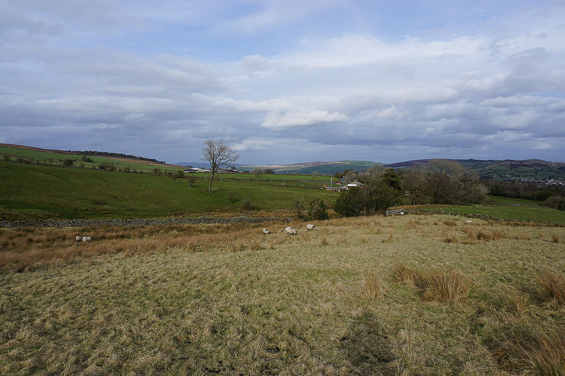
My lunch stop on Rimington Moor has a view across to the Yorkshire Dales
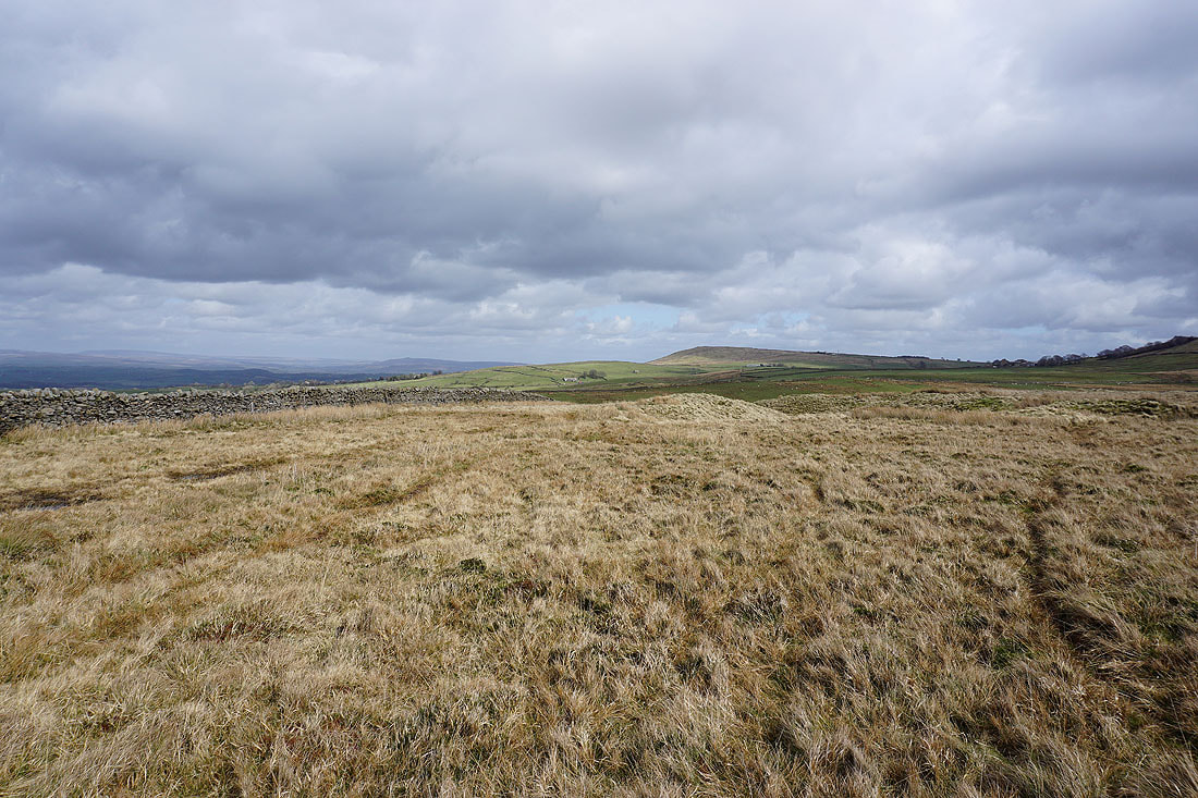
Looking east across Rimington Moor to Weets Hill
Down to and across Ings Beck and then I'm on Twiston Moor
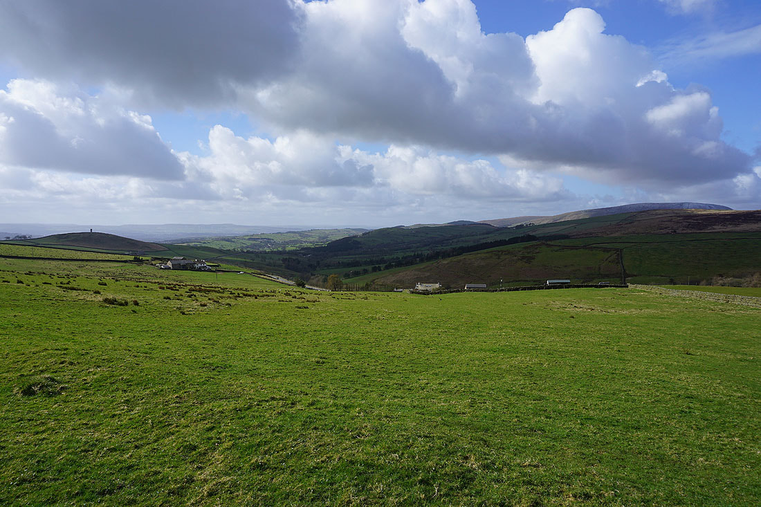
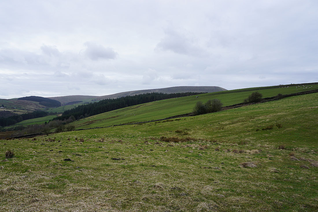
The view north to the Forest of Bowland from the eastern end of Twiston Moor
Pendle Hill as I make my way up the track above Smithy Fold
Looking back with the Yorkshire Dales in the distance
and across the Ribble Valley to the Forest of Bowland
Weets Hill in the distance from Twiston Moor
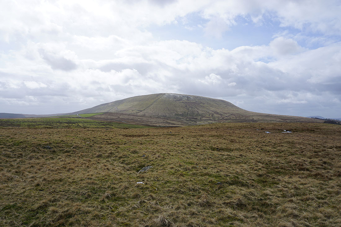
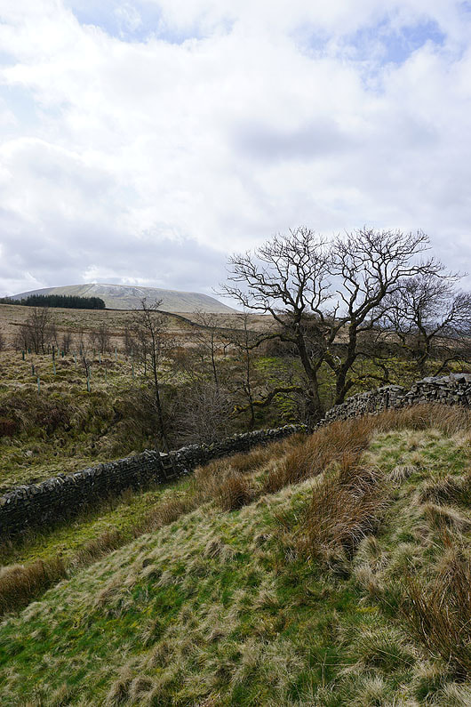
Pendle Hill looms large above Twiston Moor
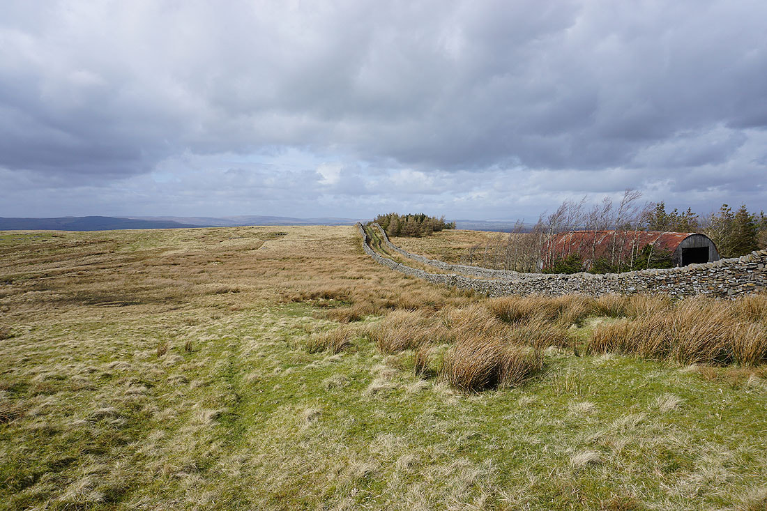
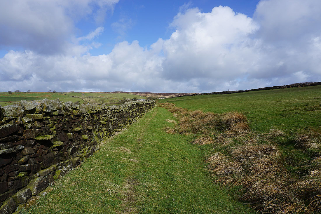
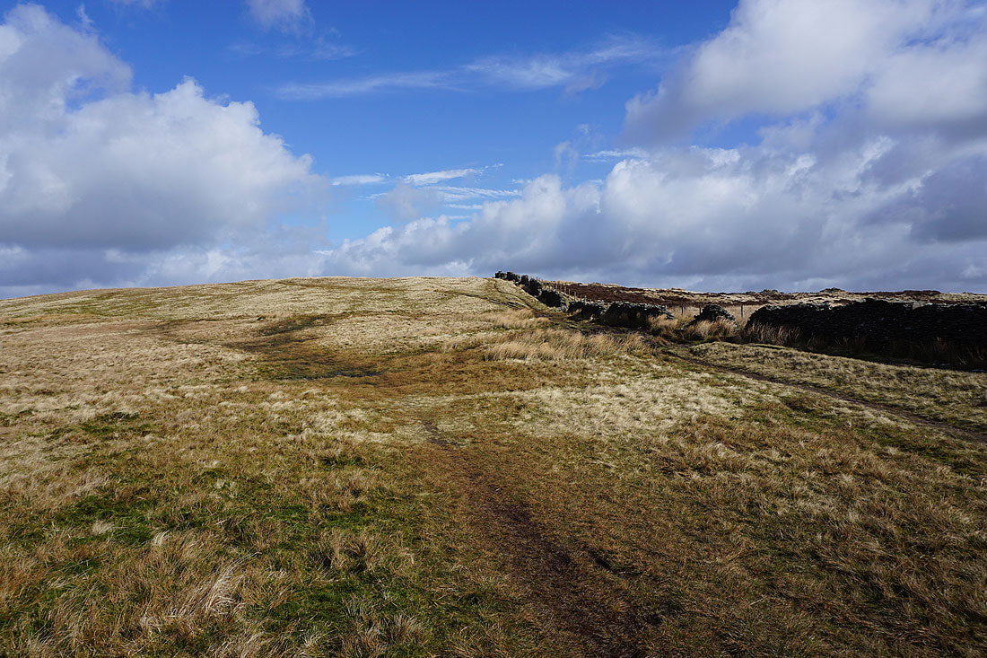
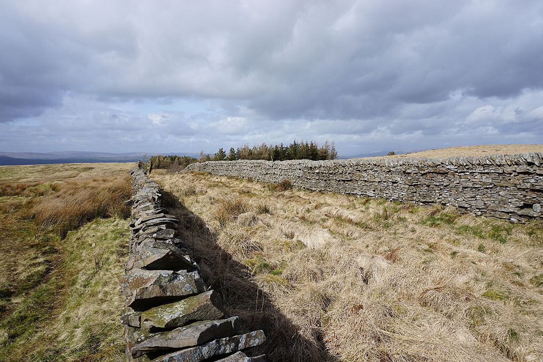
The walled track of an "occupation road" across Twiston Moor..
A sunlit Twiston Moor
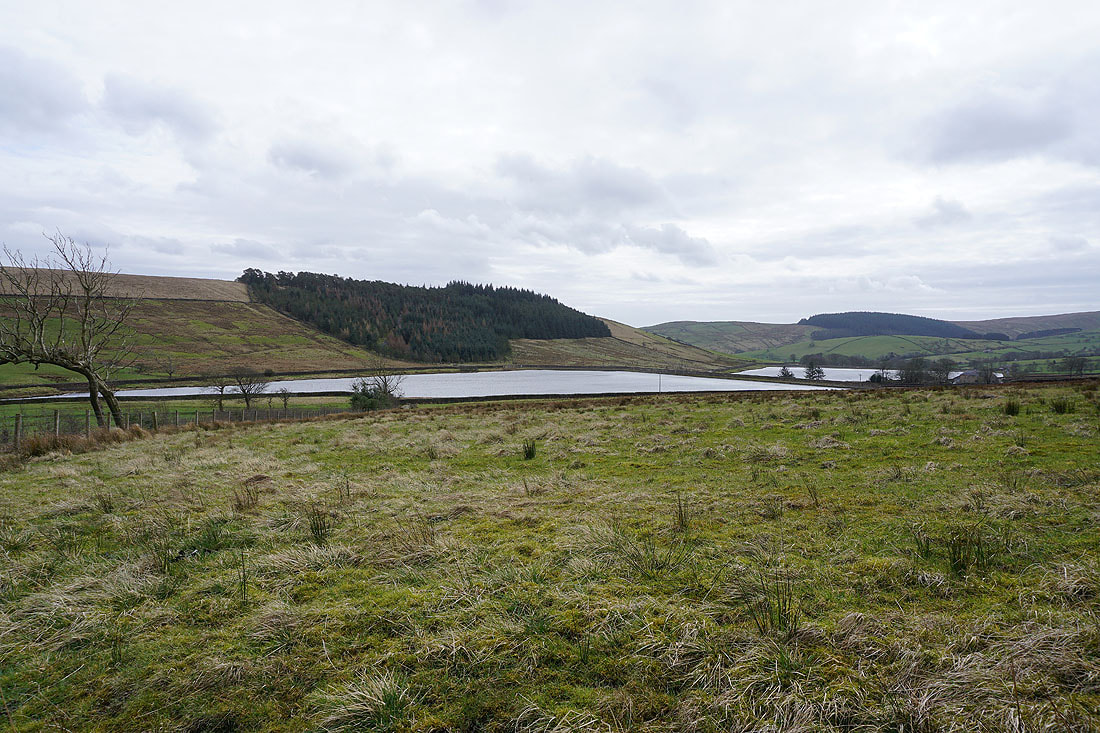
The Black Moss Reservoirs from Black Moss Road
Pendle Hill and the Black Moss Reservoirs as I walk up Black Moss Road
Looking back to Wheathead Height as I walk up Stang Top Road
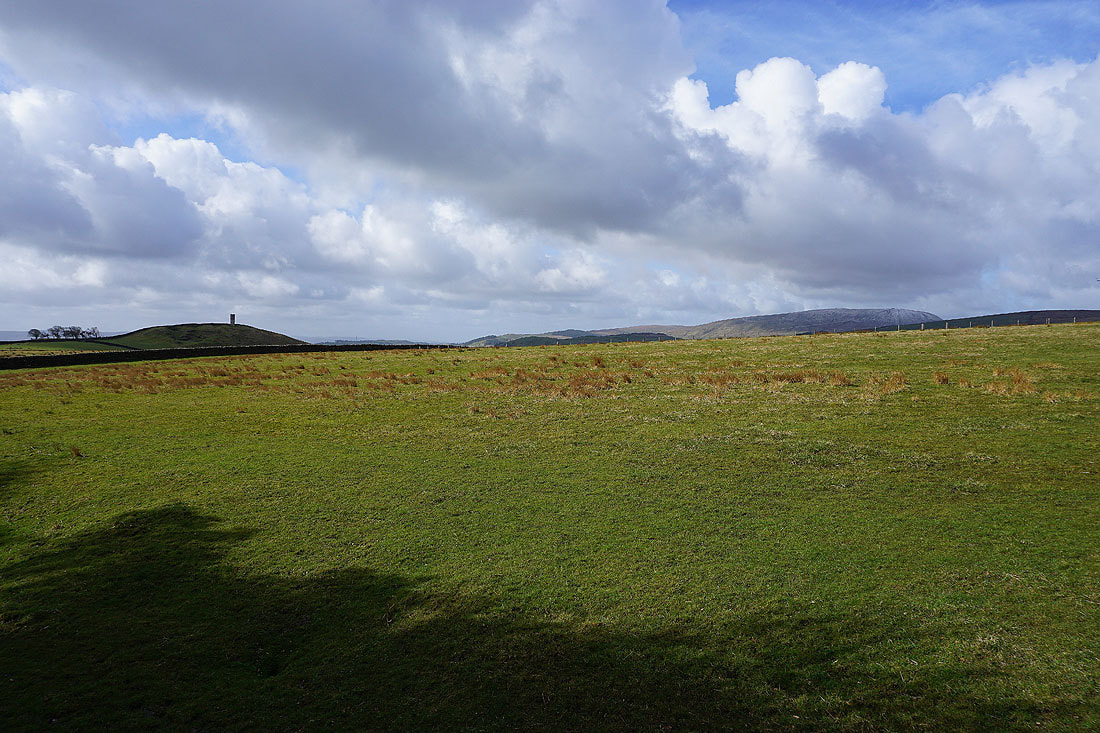
Thieveley Pike in the distance from Stang Top Road
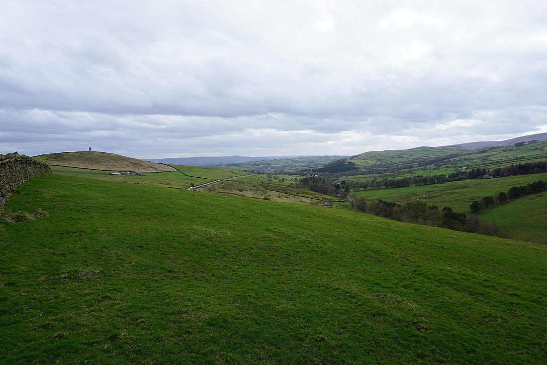
Pendle Hill above Stang Top Moor from the track on Brown Hill
Brown Hill with Pendle Hill peeping over its top on the right
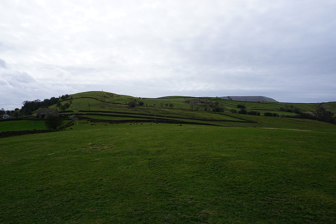
Blacko Hill ahead
Wheathead Height and Burn Moor to my right
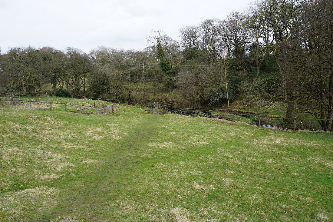
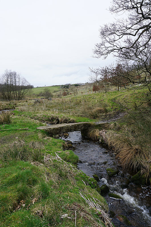
Across the footbridge over Blacko Water and I'll join the Pendle Way
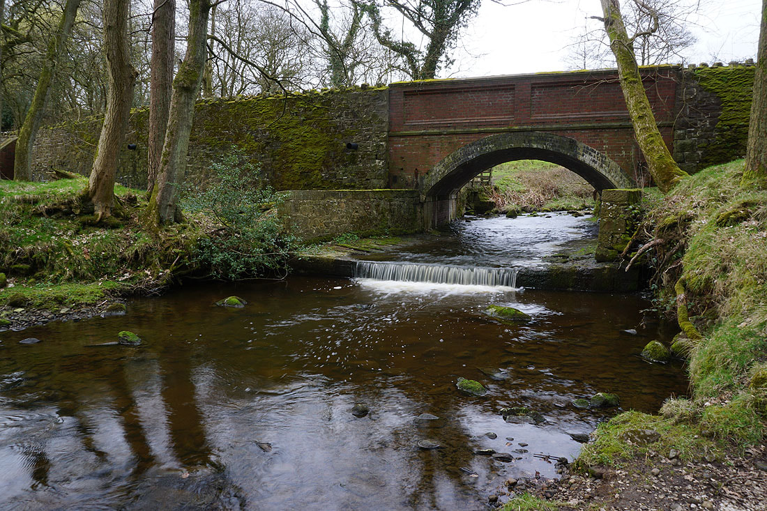
Admergill Water as it passes under Wheathead Lane
On the Pendle Way past Admergill Hall Farm
I then follow the Pendle Way up the valley of Admergill Water..
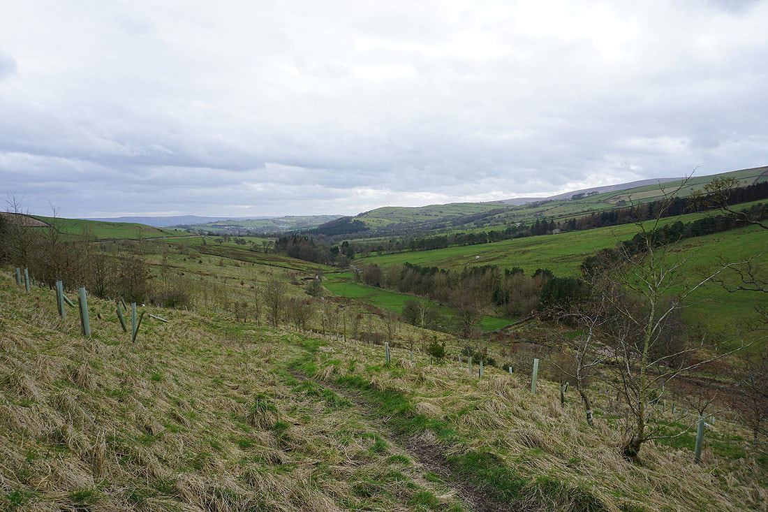
Looking down the valley of Admergill Water
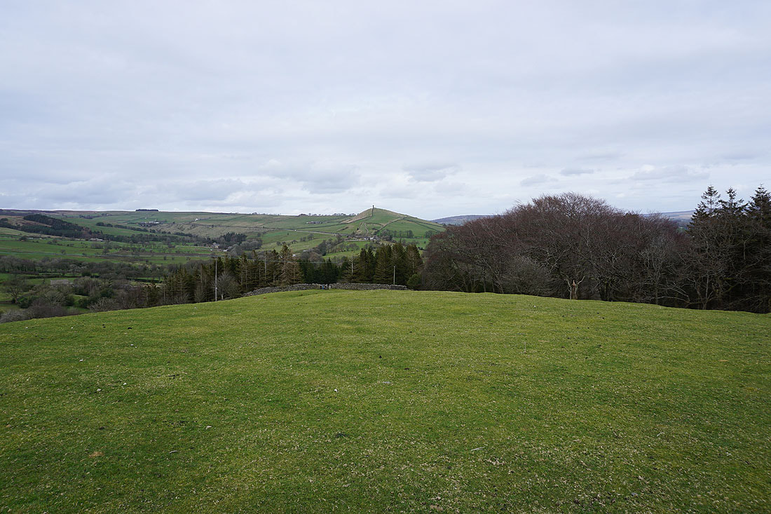
On Blacko Hill with a view of the Forest of Pendle
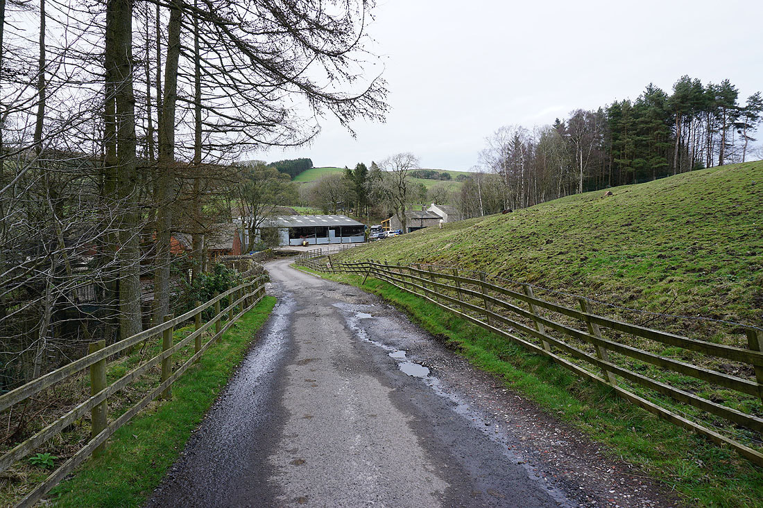
At Admergill Pasture Cottage
Blacko Hill and Pendle Hill
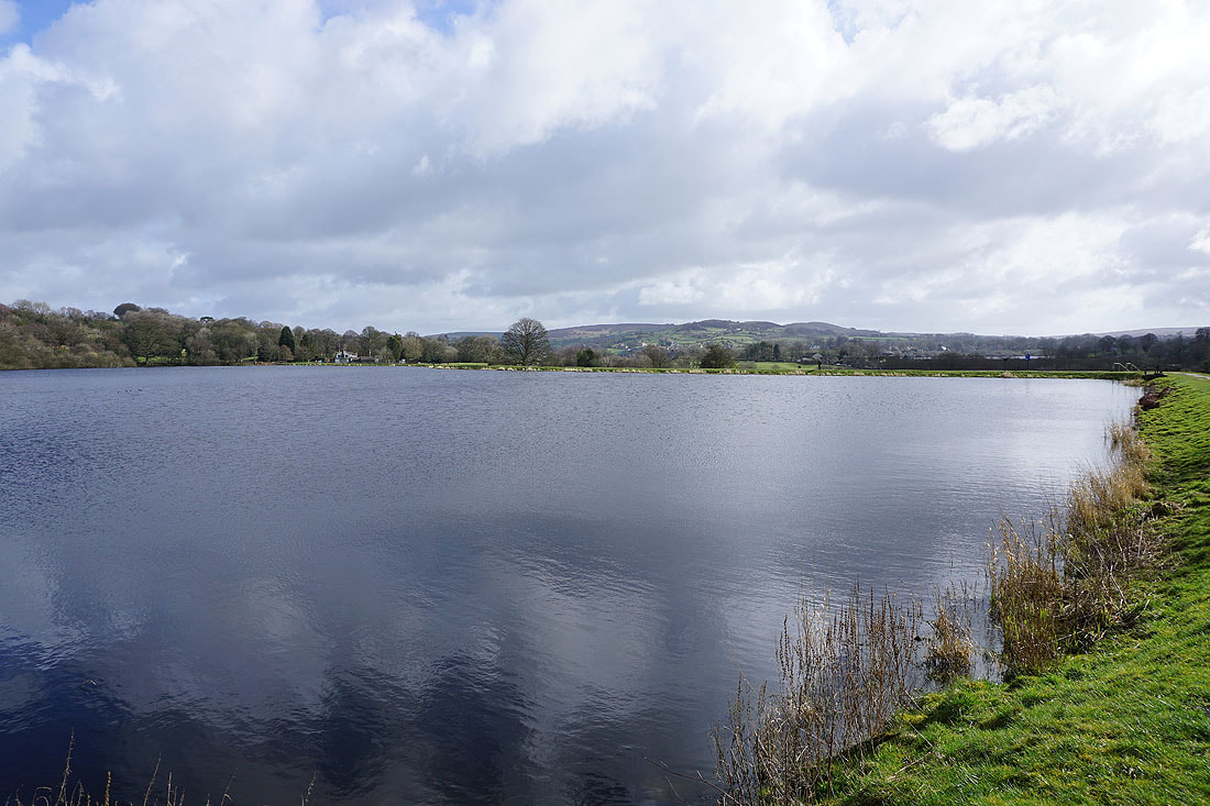
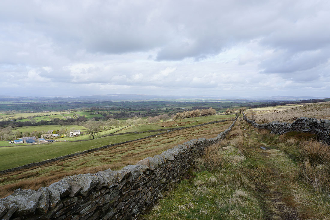
Foulridge Lower Reservoir and Boulsworth Hill as I follow the path down to Barnoldswick Road
Thornton Moor, Bleara Moor and Kelbrook Moor
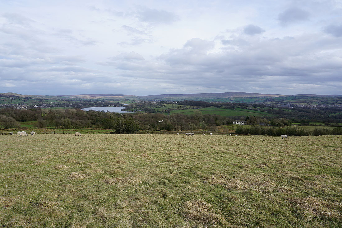
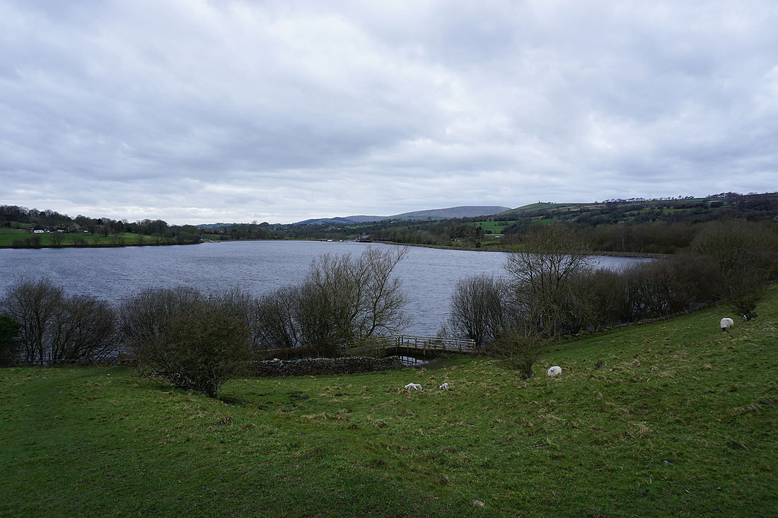
Ickornshaw Moor, Foulridge Lower Reservoir and Boulsworth Hill
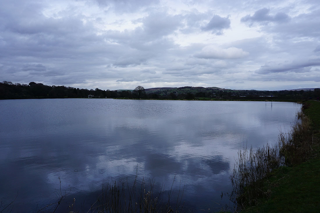
By Slipper Hill Reservoir..
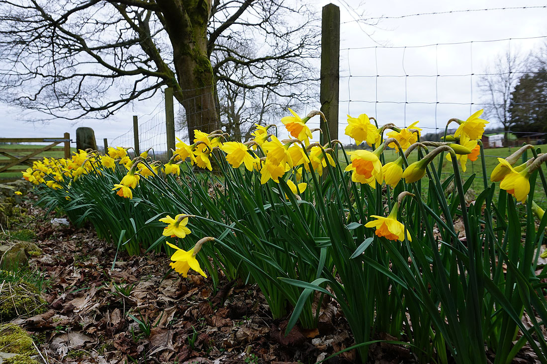
Daffodils at Sand Hall
Making my way round Foulridge Lower Reservoir before I head home..