28th May 2018 - Dodd Fell Hill and Drumaldrace
Walk Details
Distance walked: 13.3 miles
Total ascent: 2126 ft
OS map used: OL30 - Yorkshire Dales, Northern & Central areas & OL2 - Yorkshire Dales, Southern & Western areas
Time taken: 6.5 hrs
Route description: Hawes-Gayle-Pennine Way-Dodd Fell Hill-Pennine Way-Kidhow Gate-Cam High Road-Wether Fell-Drumaldrace-Wether Fell-Cam High Road-Burtersett High Pasture-Burtersett-Gayle-Hawes
This was my first ever visit to Wensleydale and long overdue. Up until now I'd thought that it was just too far away to travel to for a day trip. After considering the fact that I'm quite prepared to drive up to the Lakes and back for a day then this upper part of Wensleydale isn't that bad, especially if I go via Ribblehead, which makes it a nice drive. The route that I chose was one that I'd marked off in a guide book years ago, (with the intention of getting around to doing it), as being an obvious circular walk to do from Hawes. I couldn't have asked for a better day for it. Very warm, lots of sunshine, a strong wind high up (not as windy as yesterday and needed to temper the heat) and good enough visibility for taking in the views. The warm dry weather of recent weeks made for easy going when it came to reaching the trig point on Dodd Fell Hill. The highlight of the day though had to be the buttercup filled fields in Wensleydale.
From the car park in Hawes I walked up the lane to Gayle and onto the trail of the Pennine Way. This makes its way through a housing estate before leaving Gayle to take to the fields to reach Gaudy Lane. I followed the trail up Gaudy Lane to its end, onto the open fell, up onto Ten End Peat Ground to where it joins the track of West Cam Road. I then walked south along West Cam Road until I spotted a little cairn on the hillside above to the left. This was just the spot where I'd considered leaving the track to make my ascent to the trig point on Dodd Fell Hill. A clear trod through the tussocks took me up to it and back down. Once back on the Pennine Way I continued south to reach the Cam High Road at Kidhow Gate. The Pennine Way was left behind here to follow the tarmacked Cam High Road east past where it leaves the tarmac and becomes a track across Wether Fell. I left the track to visit the cairn of Drumaldrace and soon after returning to it I reached the bridleway down to Burtersett. Once down in Burtersett I took Shaws Lane west, then a footpath across fields to reach Gayle. I was then left with a short walk back to Hawes.
Route map
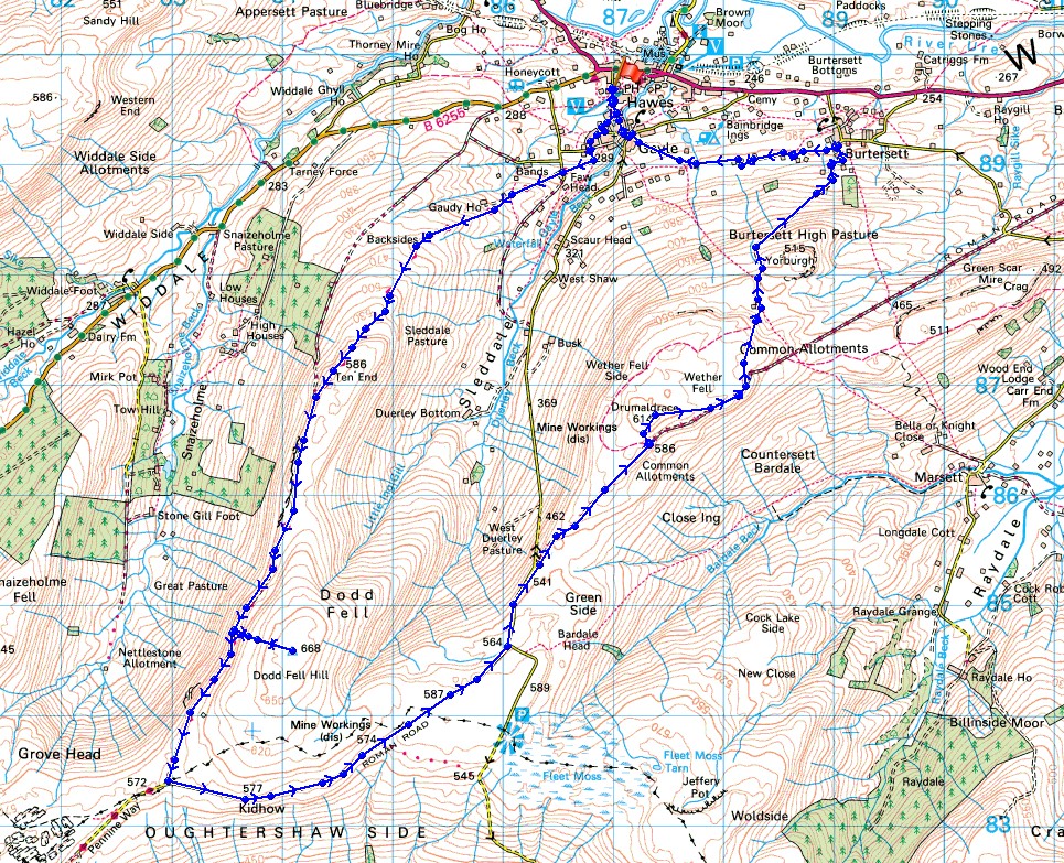
© Crown copyright. All rights reserved. License number PU 100034184.
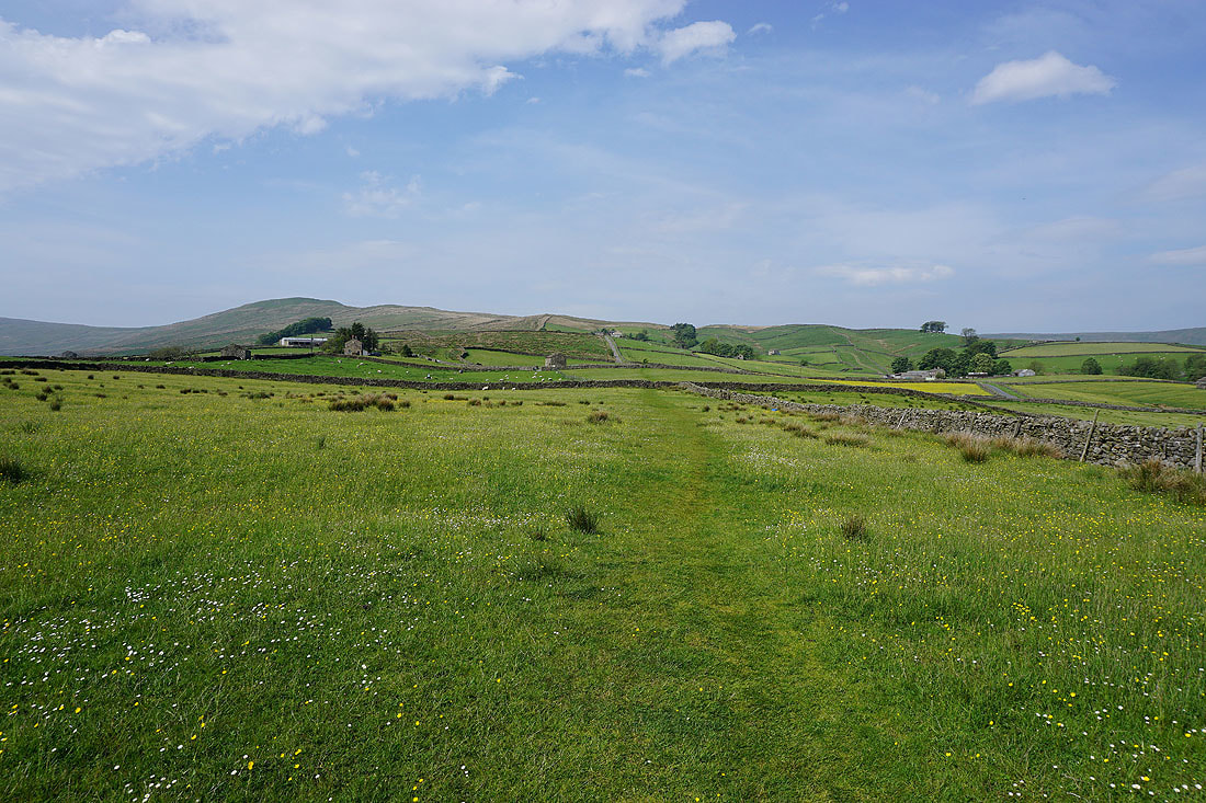
Leaving Hawes with Ten End Peat Ground in the distance. I'll be heading up there on the Pennine Way soon.
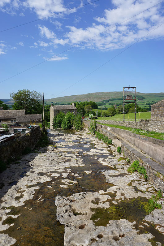
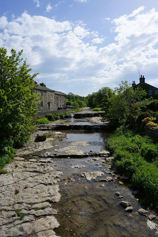
A fabulous scene from the Pennine Way in Gayle
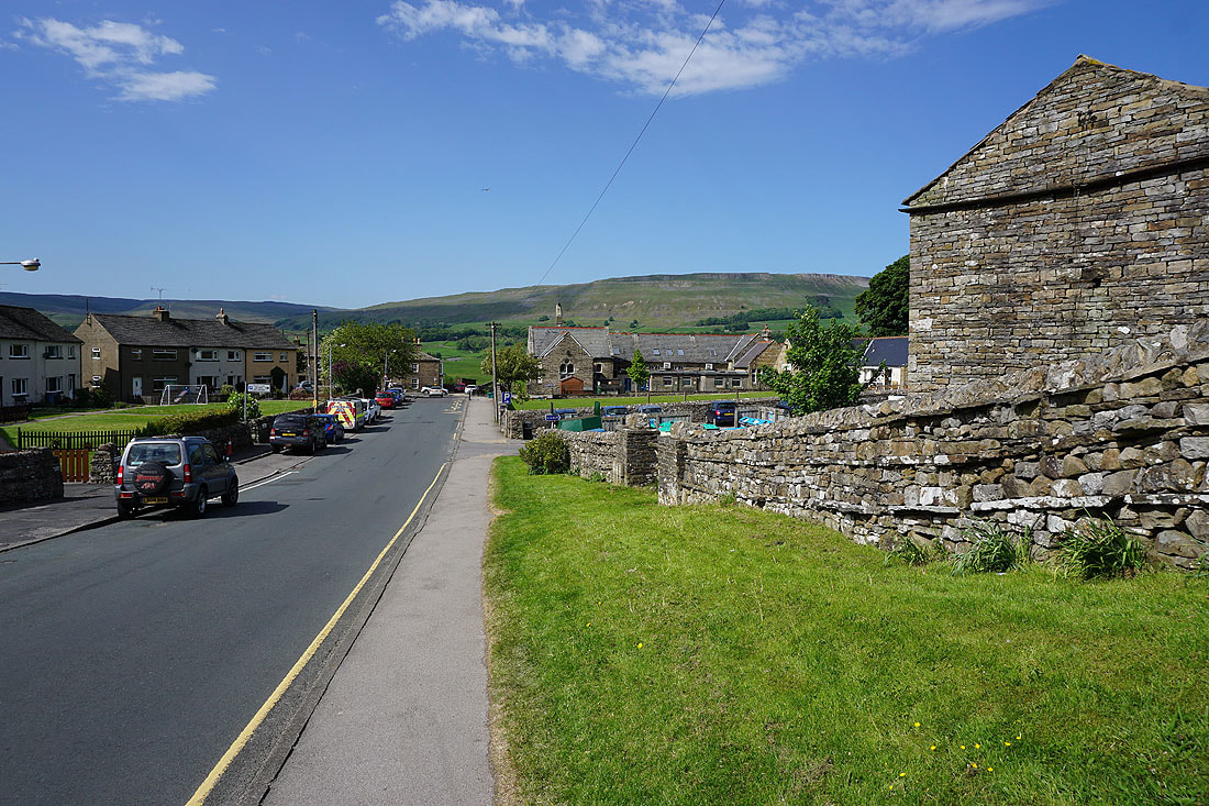
If I turn around that's the housing estate in Gayle that the trail passes through
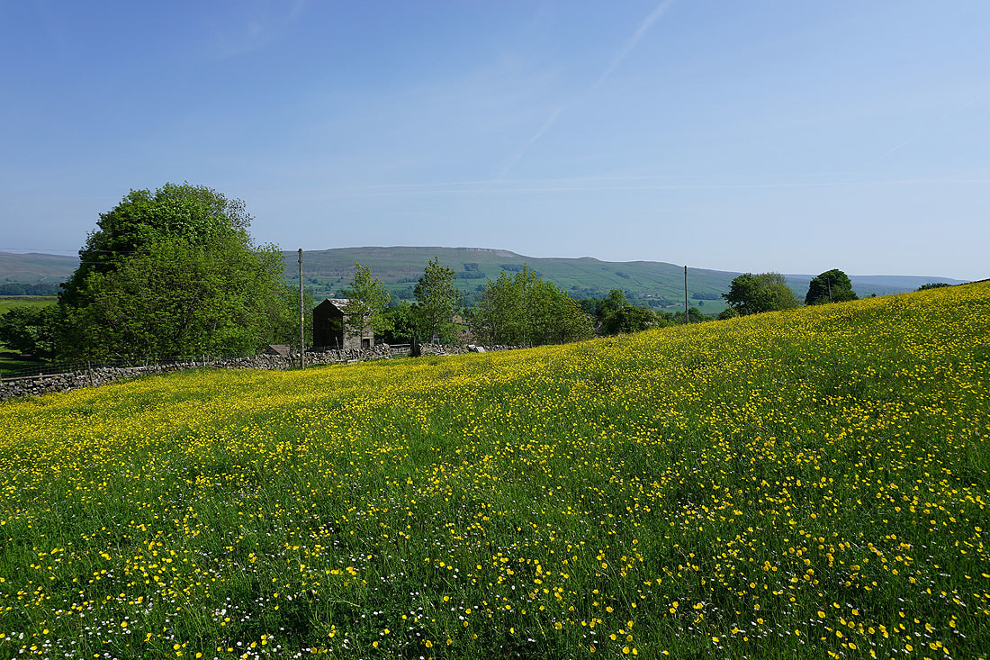
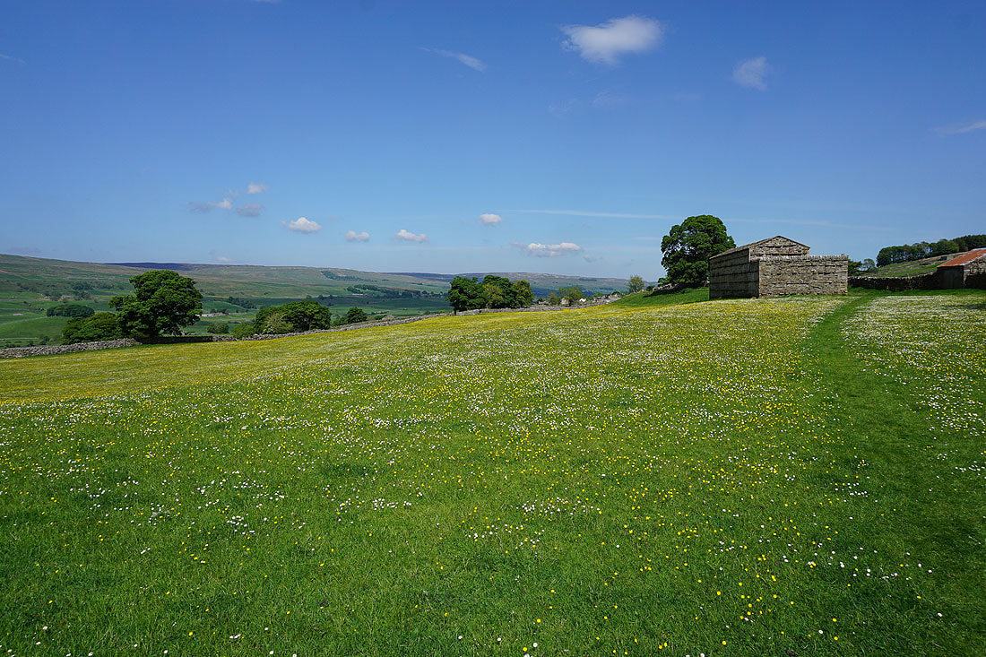
Another buttercup filled meadow as the trail leaves Gayle..
..and heads west to Gaudy Lane
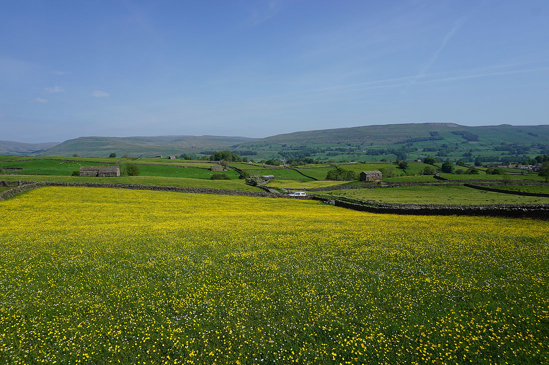
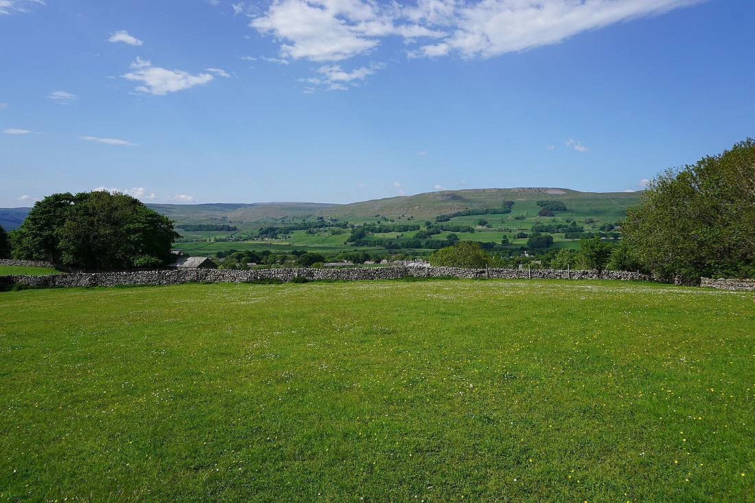
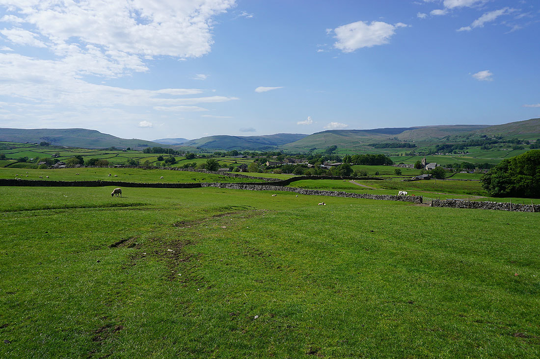
It's a glorious morning as I look north across Wensleydale to the southern slopes of Great Shunner Fell and Lovely Seat
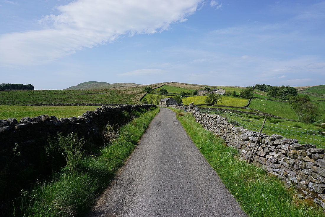
Heading west along Gaudy Lane
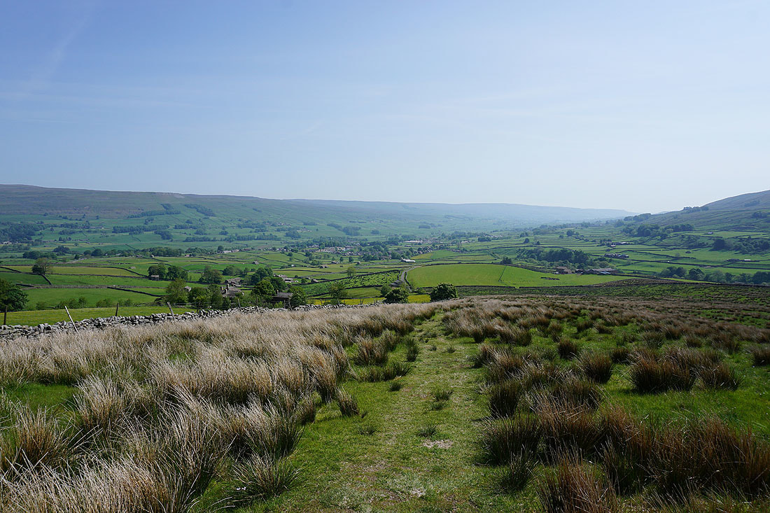
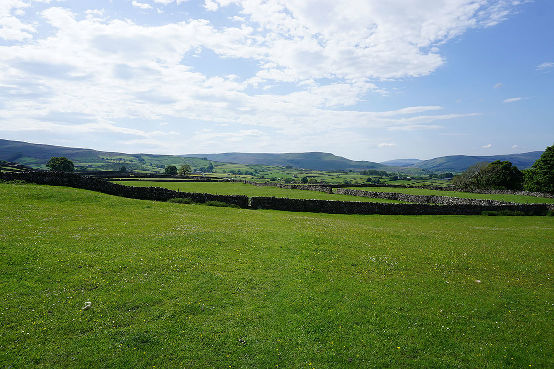
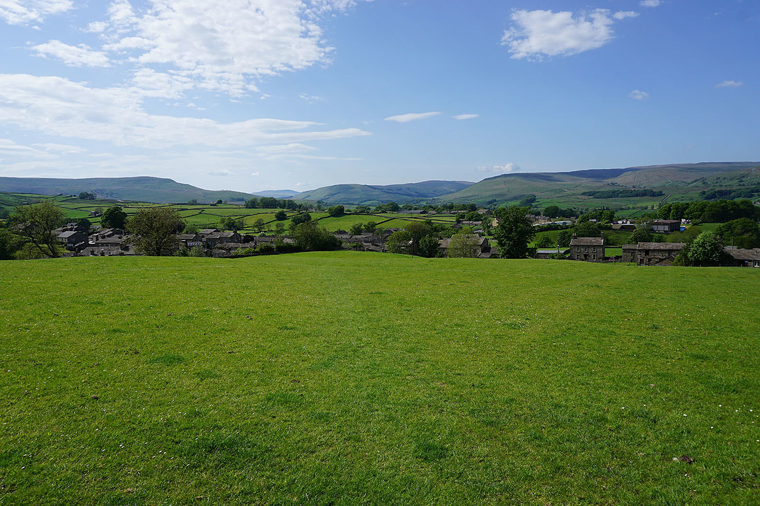
Looking back down Wensleydale
Cotterdale, Great Shunner Fell and Lovely Seat
Looking back to Lovely Seat and Wensleydale as I follow the Pennine Way up onto Ten End Peat Ground
The Pennine Way joins the track of West Cam Road
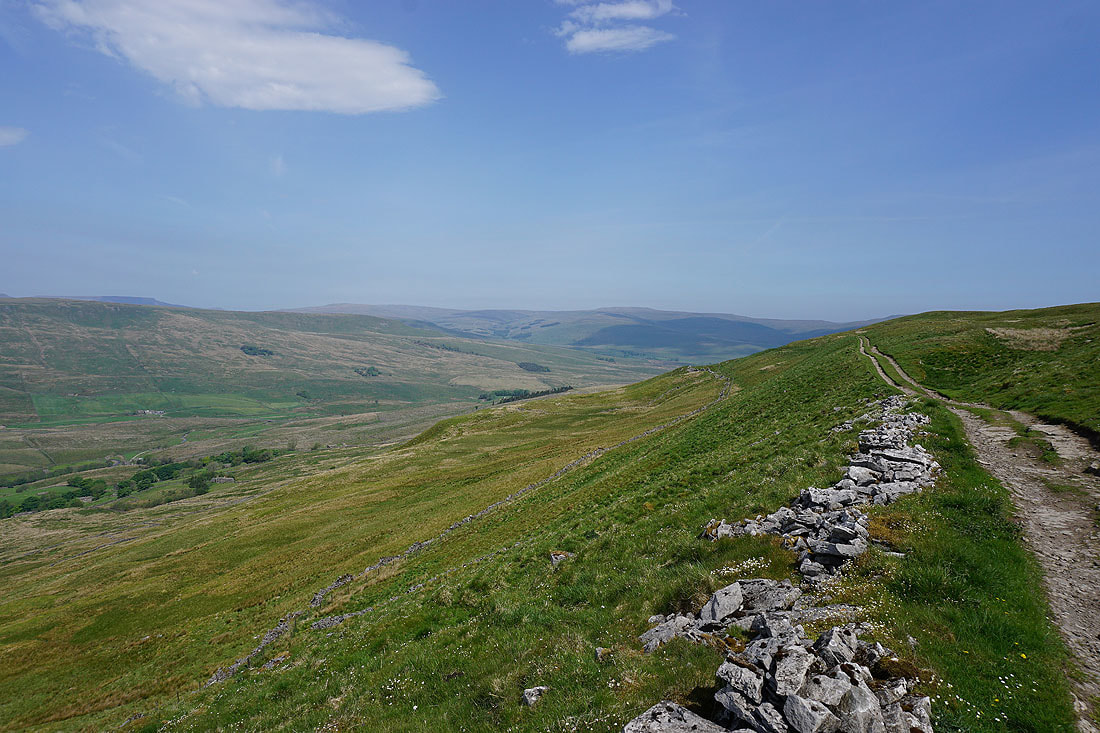
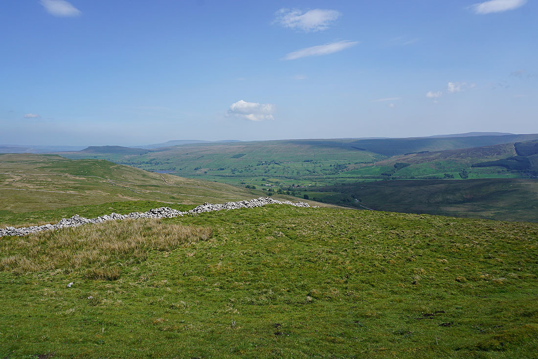
Looking back along West Cam Road towards Wensleydale
West Cam Road heads south and takes to the western flank of Dodd Fell Hill
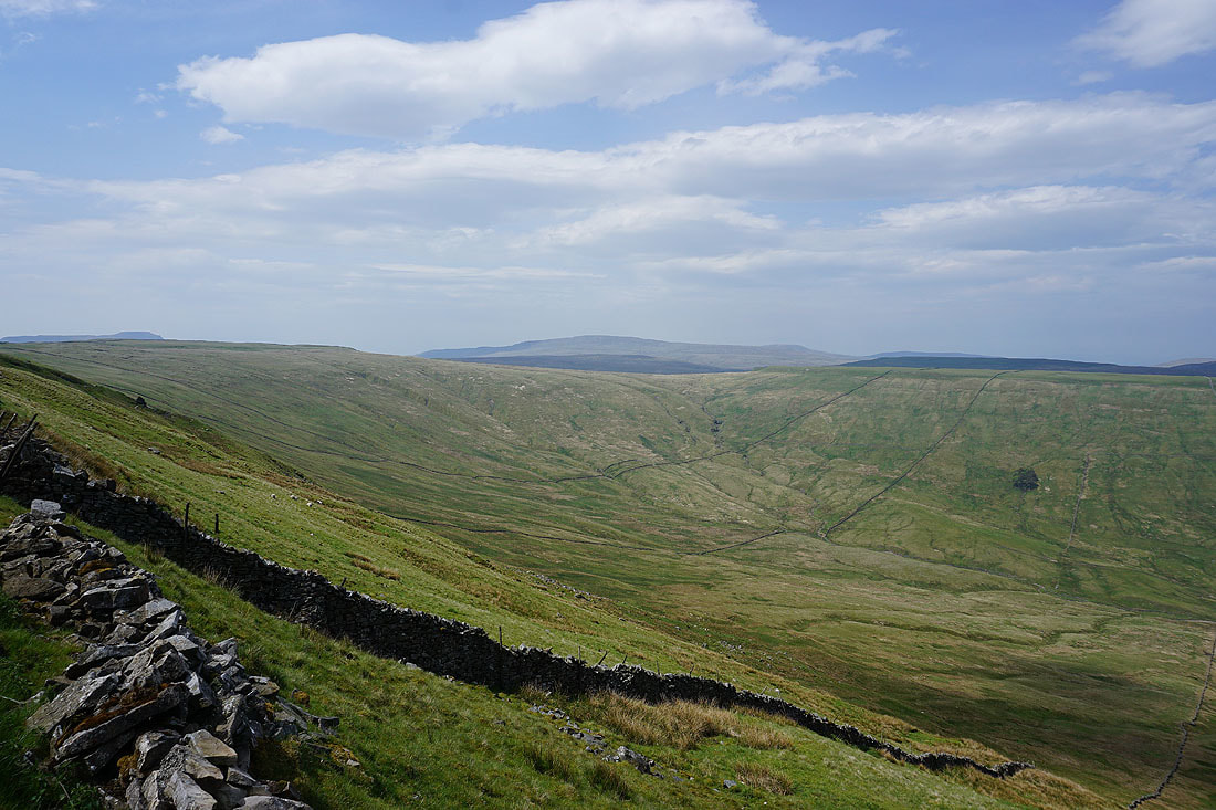
Looking across the head of the valley of Snaizeholme to Whernside. This was more or less where I left West Cam Road to make my way up to the trig point on Dodd Fell Hill.
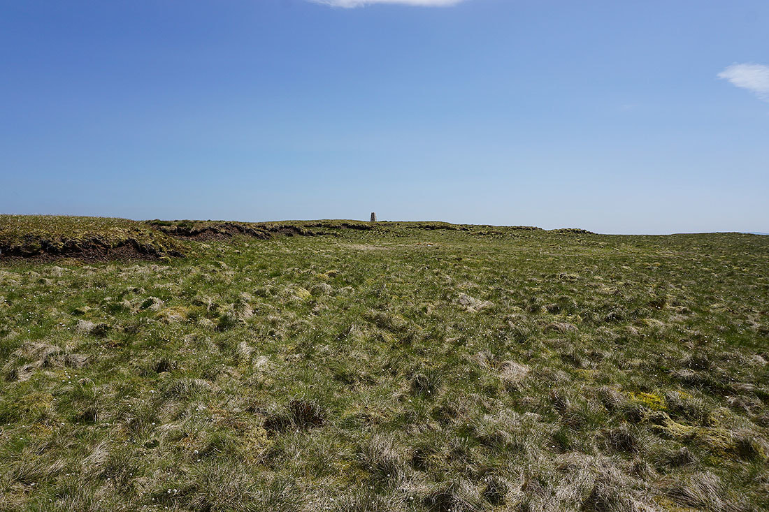
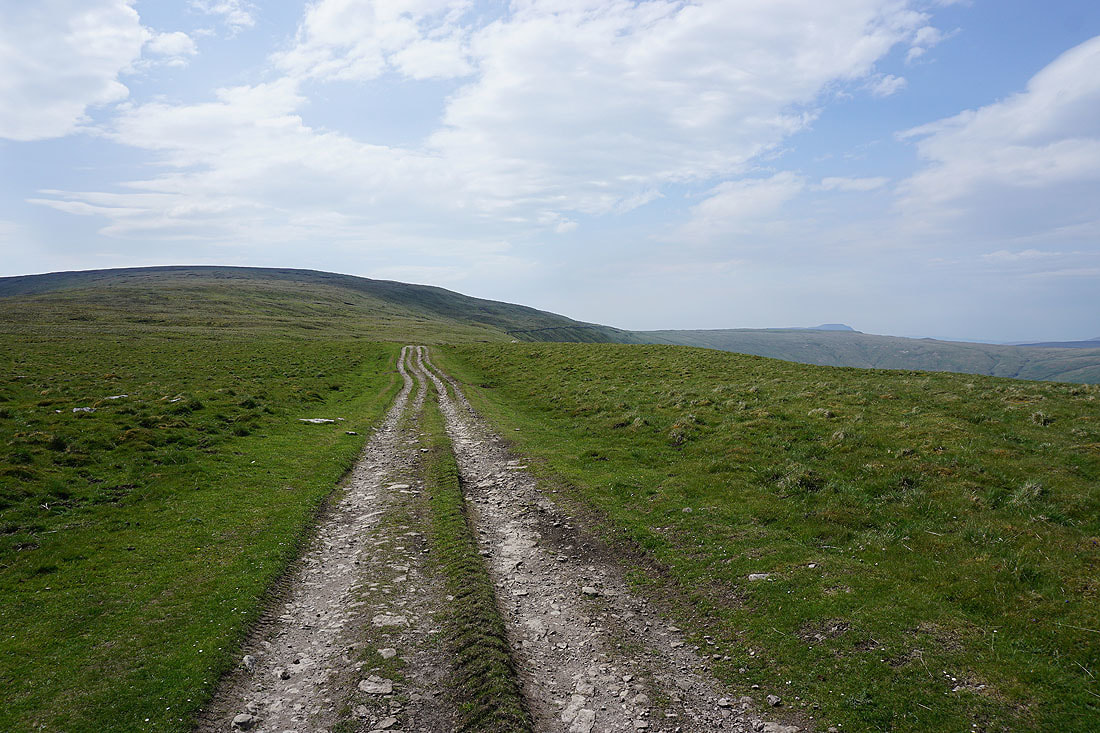
Approaching the trig point on Dodd Fell Hill. The ground was mostly nice and firm underfoot.
Ingleborough and Whernside from the summit of Dodd Fell Hill
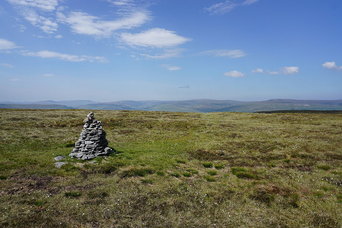
Wild Boar Fell, Ure Head, Great Shunner Fell and Lovely Seat to the north
Addlebrough and Stake Allotments to the east
Penyghent and Ingleborough
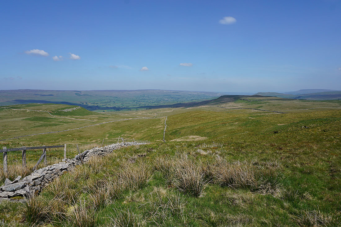
Whernside, Great Coum, Middleton Fell and Great Knoutberry Hill to the west as I make my way back to West Cam Road
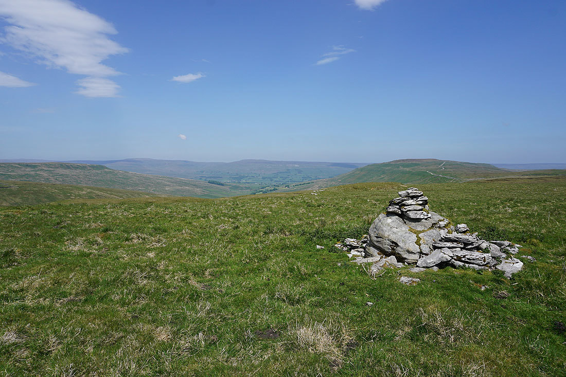
This little cairn marks the spot where I left, and returned to West Cam Road
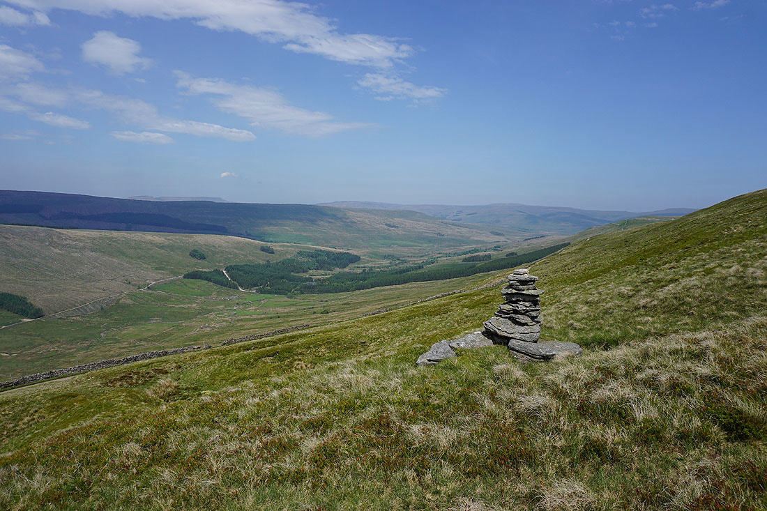
Looking down the valley of Snaizeholme
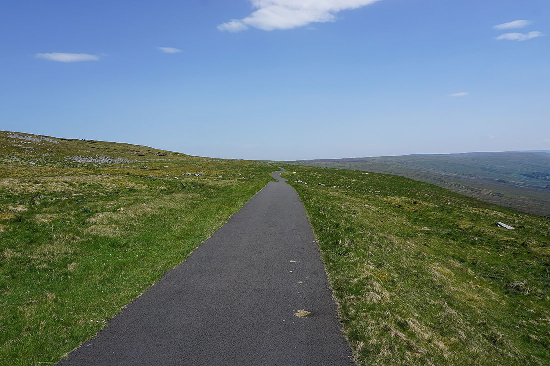
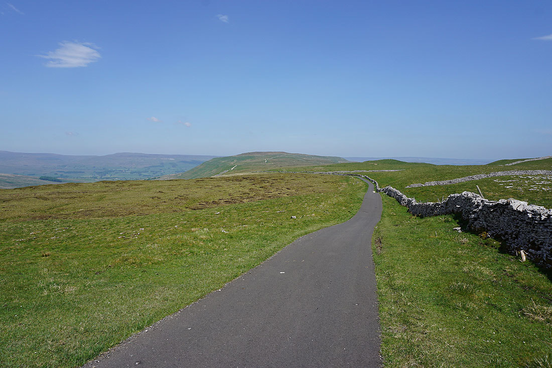
Following West Cam Road south
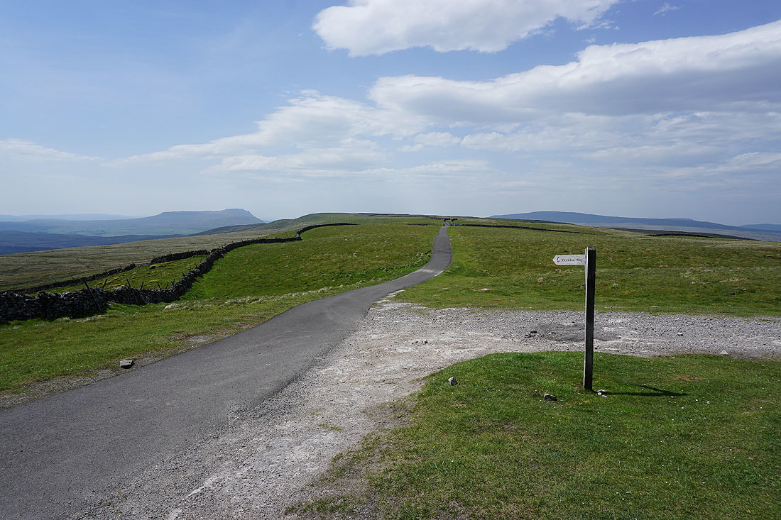
and this is where it meets the Cam High Road and I leave the Pennine Way, at Kidhow Gate. A remote and quiet spot to stop for a break.
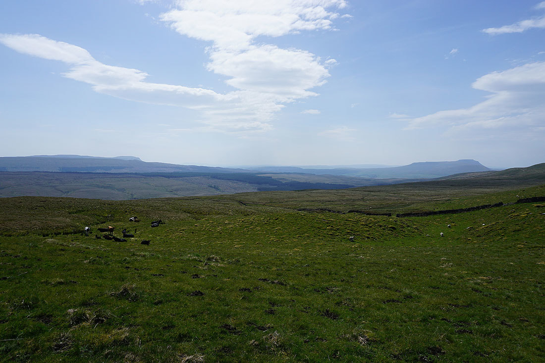
Penyghent and Ingleborough from the Cam High Road
Looking back west along the Cam High Road
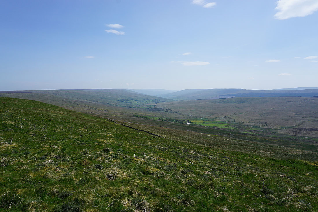
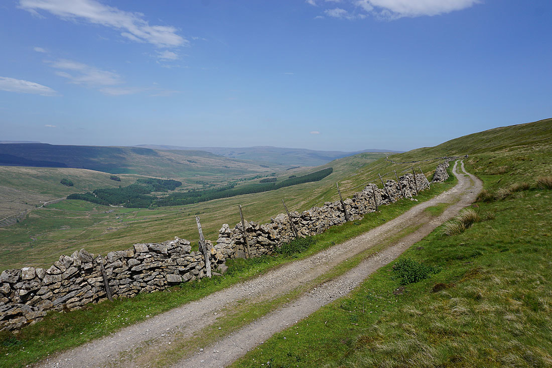
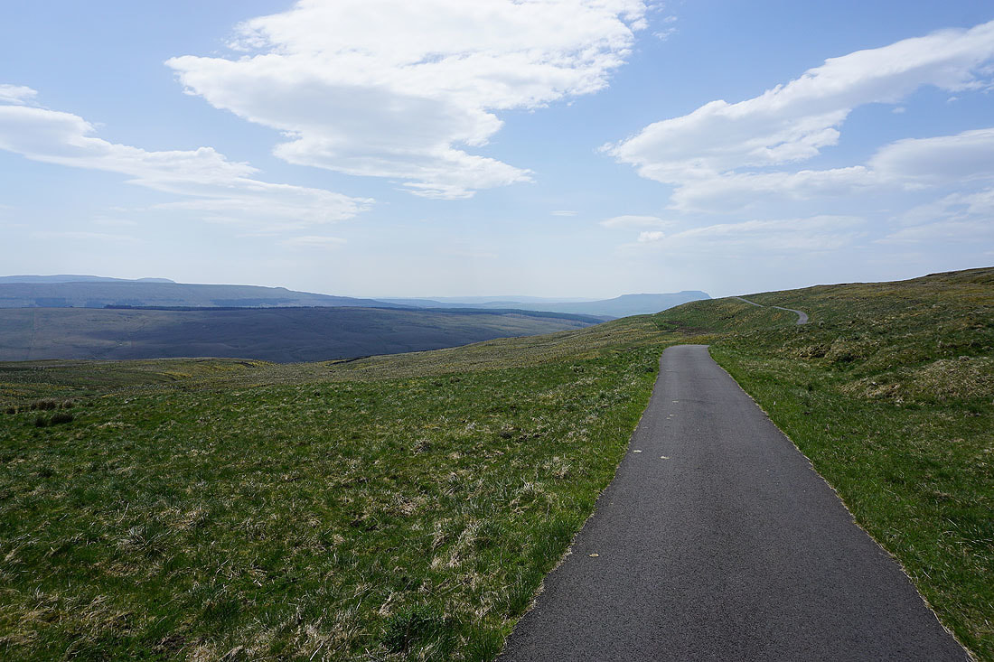
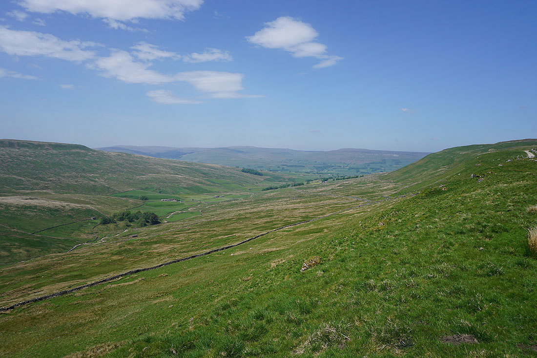
Looking down into Oughtershaw and Langstrothdale as..
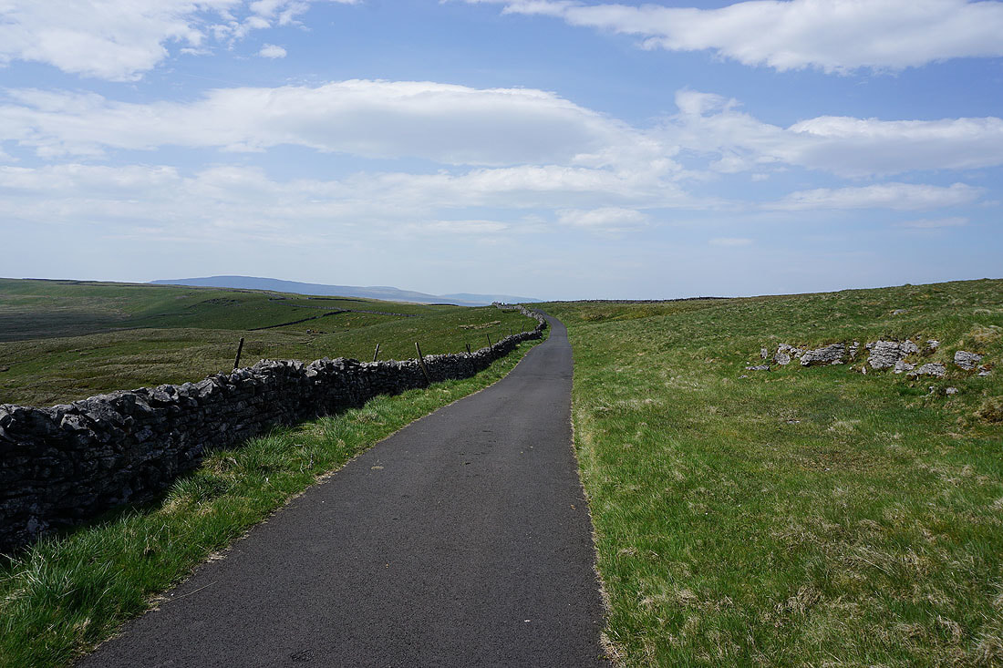
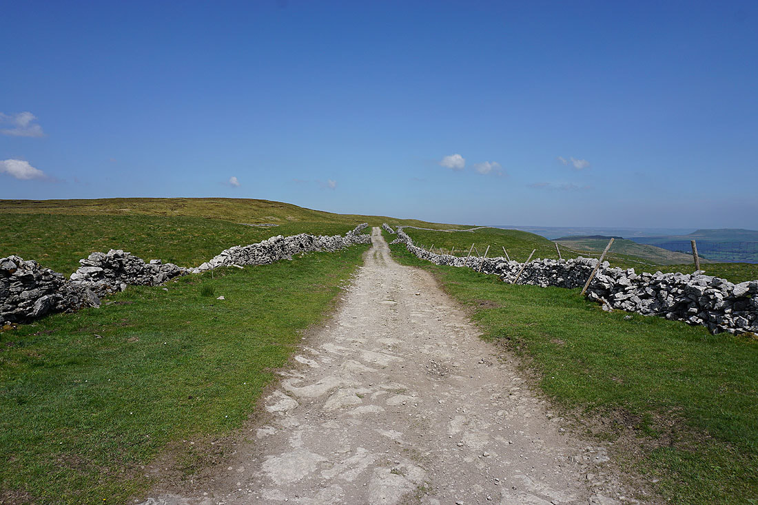
..as I follow the Cam High Road east
Looking back along the Cam High Road
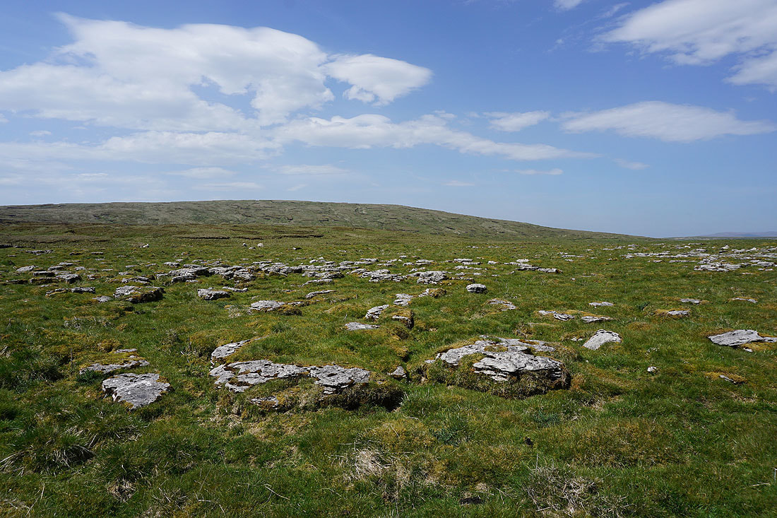
Dodd Fell Hill from some limestone pavement just off the road at North Gate
Great Shunner Fell, Sleddale, Lovely Seat and Wether Fell
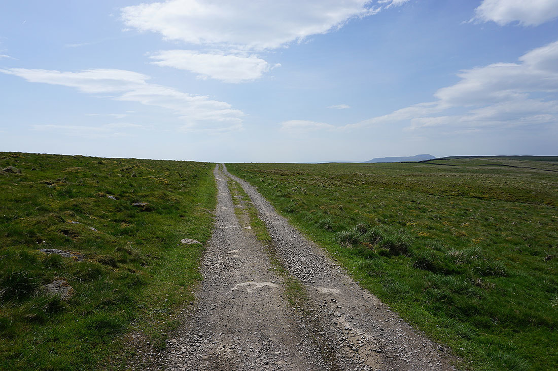
Back on the Cam High Road to Wether Fell
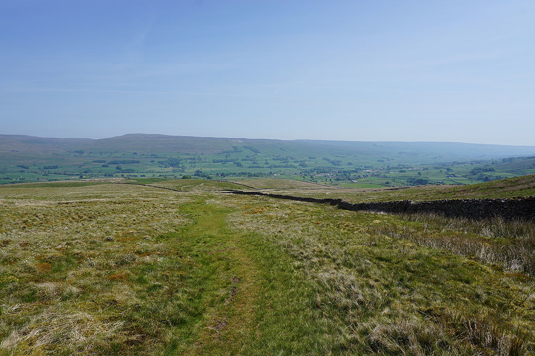
Looking down Sleddale to Wensleydale, and this was where the Cam High Road left the tarmac to cross Wether Fell
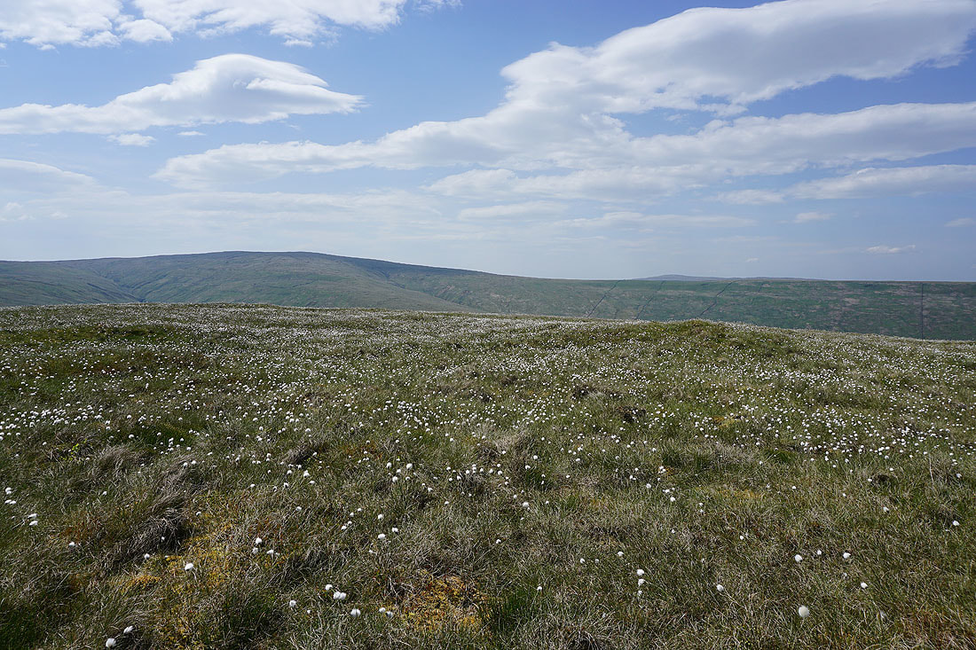
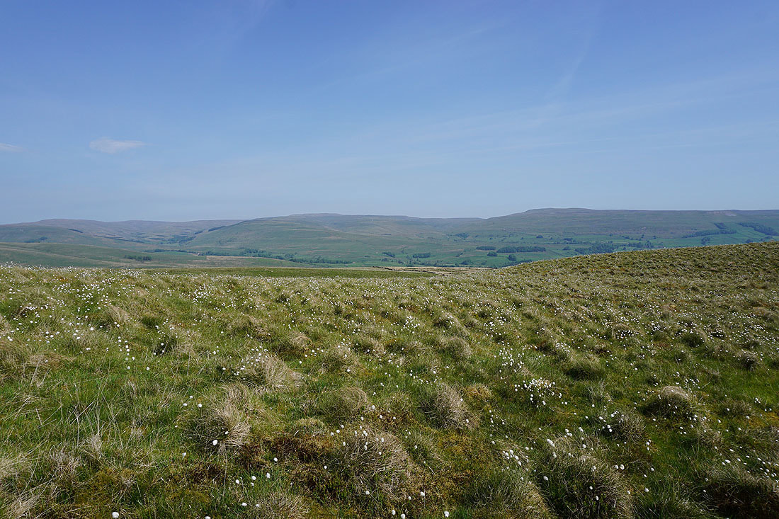
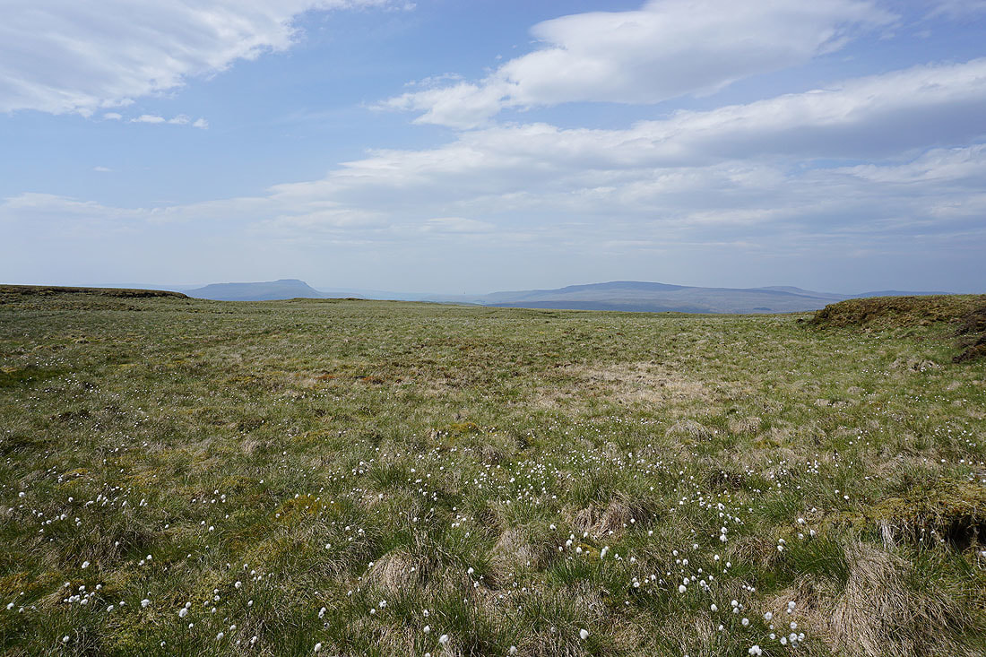
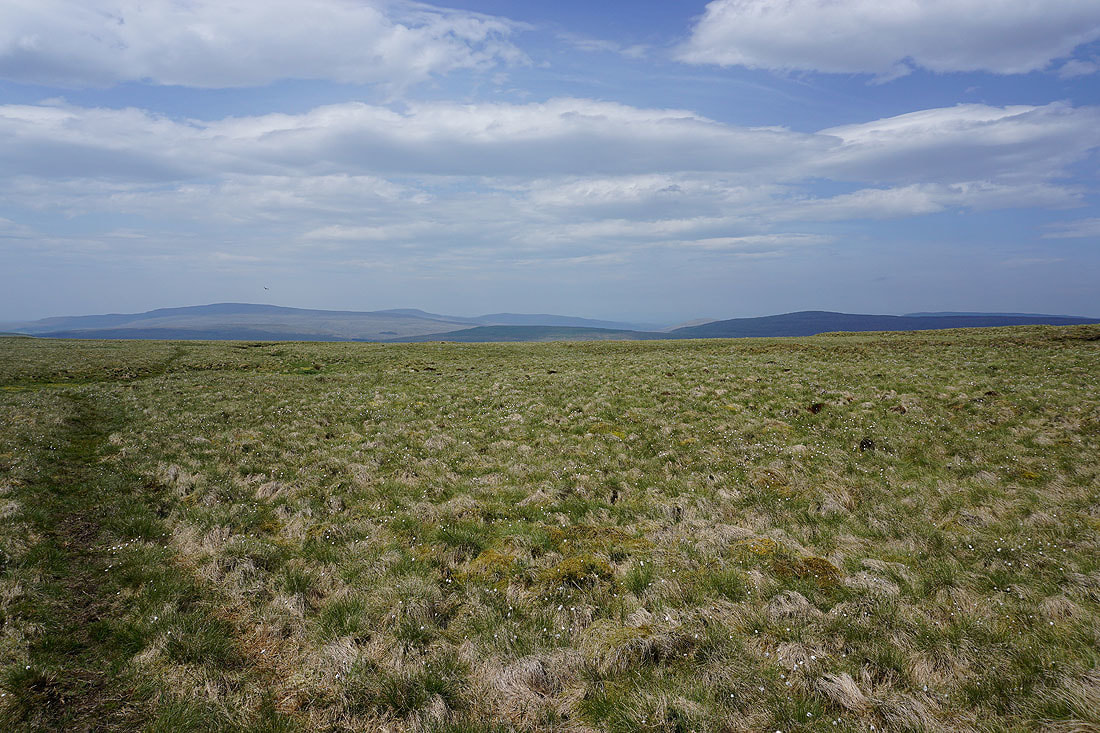
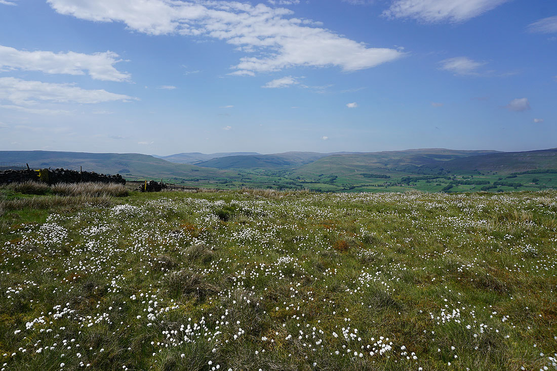
Looking across a sea of cotton grass to Dodd Fell Hill
On the track of Cam High Road across Wether Fell. Just up ahead I'll leave it to visit the summit cairn.
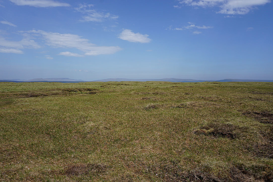
Wild Boar Fell, Great Shunner Fell and Lovely Seat from the cairn of Drumaldrace on Wether Fell
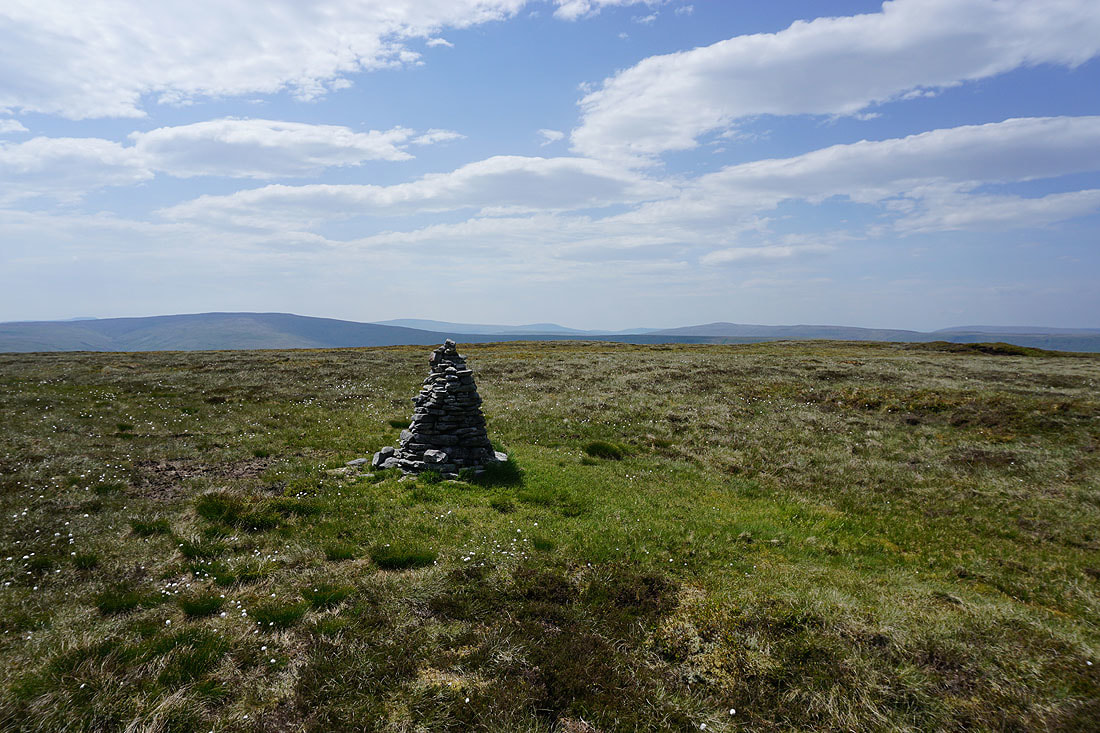
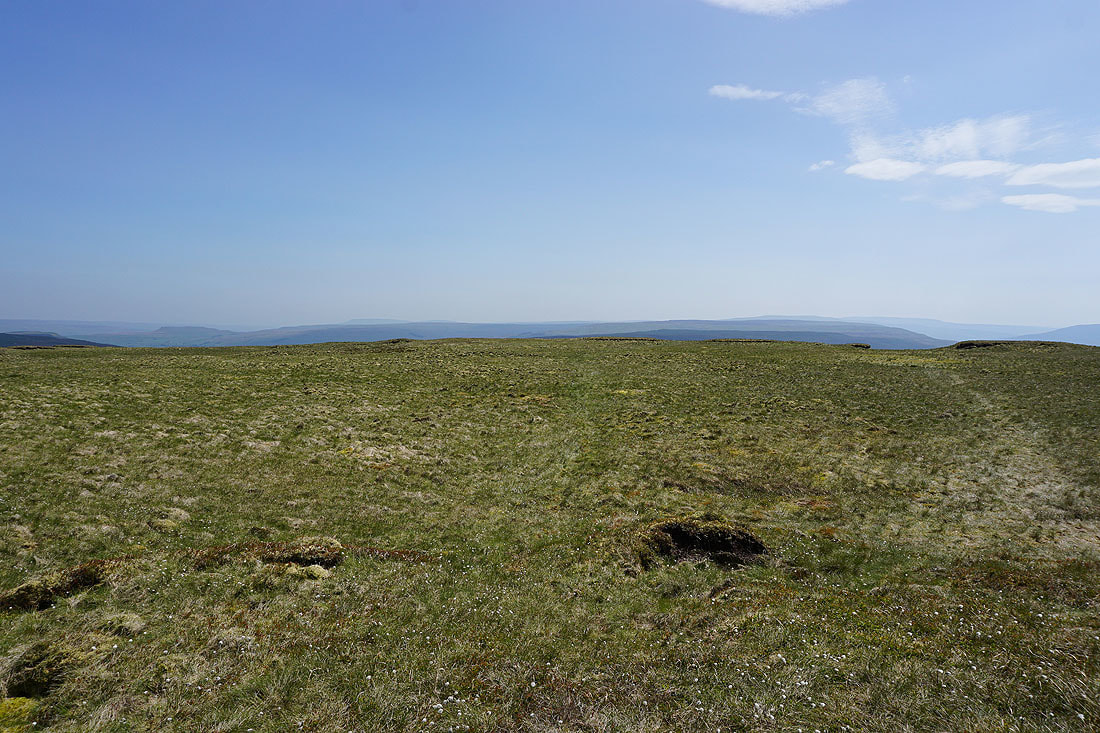
Dodd Fell Hill, Whernside, Great Coum and Great Knoutberry Hill
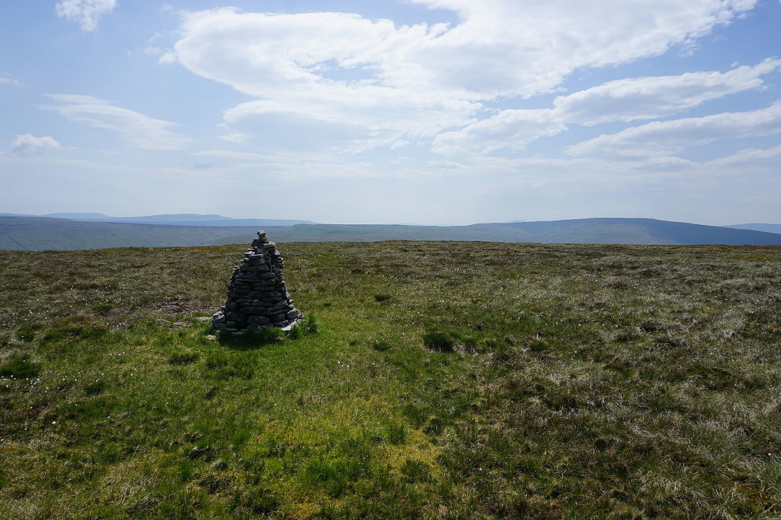
Plover Hill round to Dodd Fell Hill
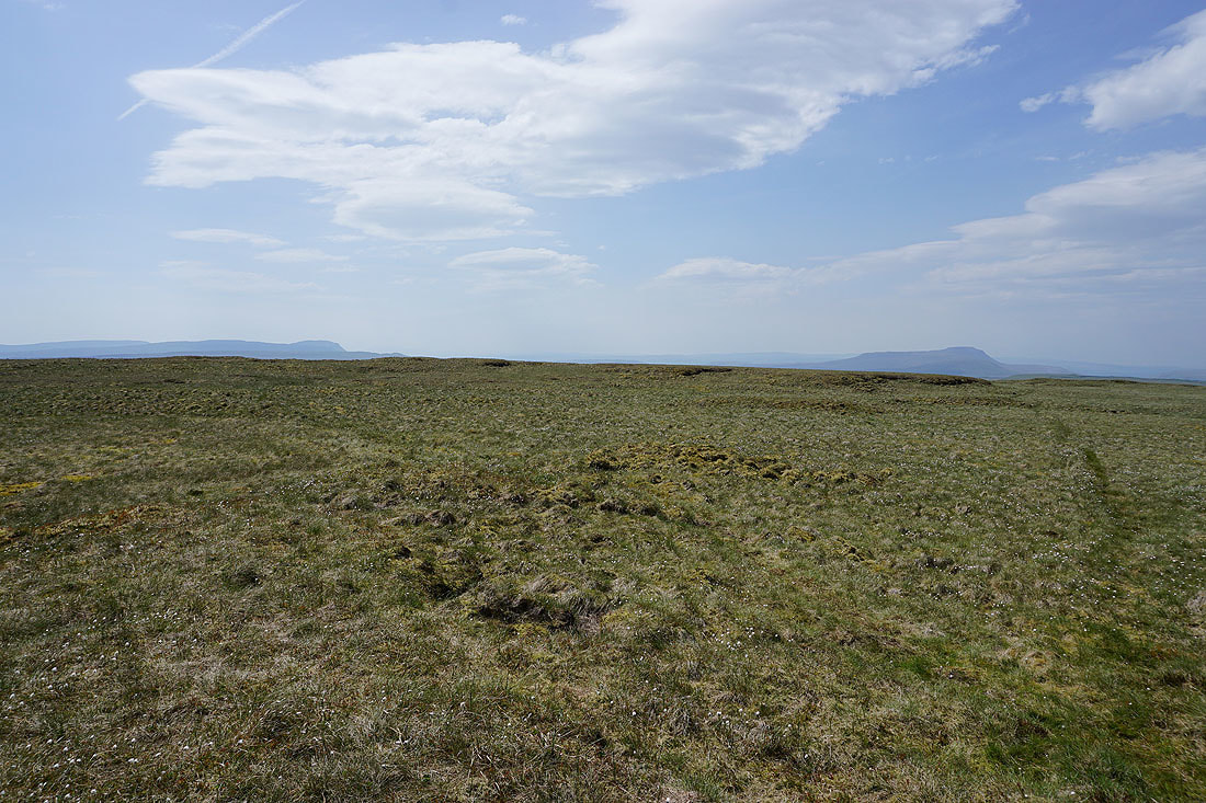
Heading back to the Cam High Road
Addlebrough, a glimpse of Semer Water and Raydale
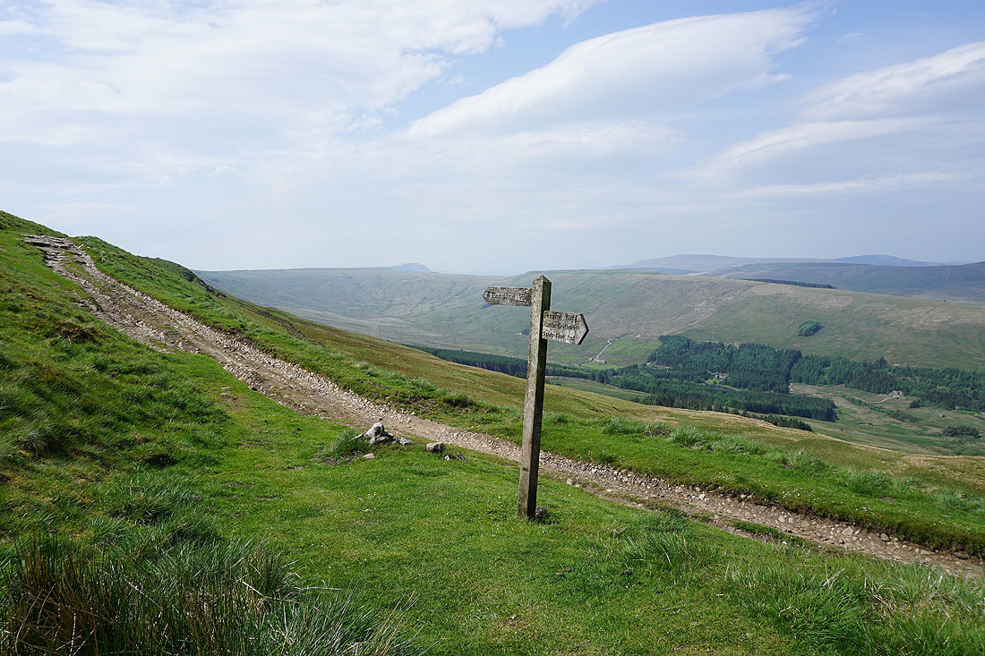
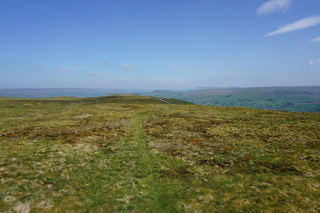
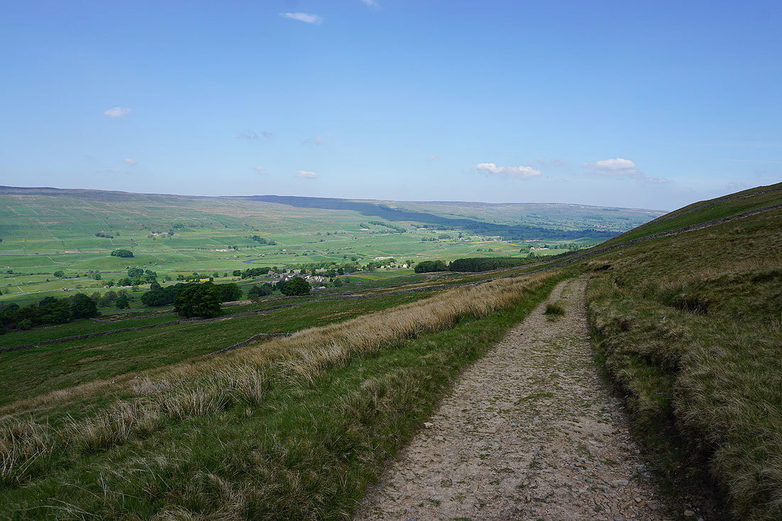
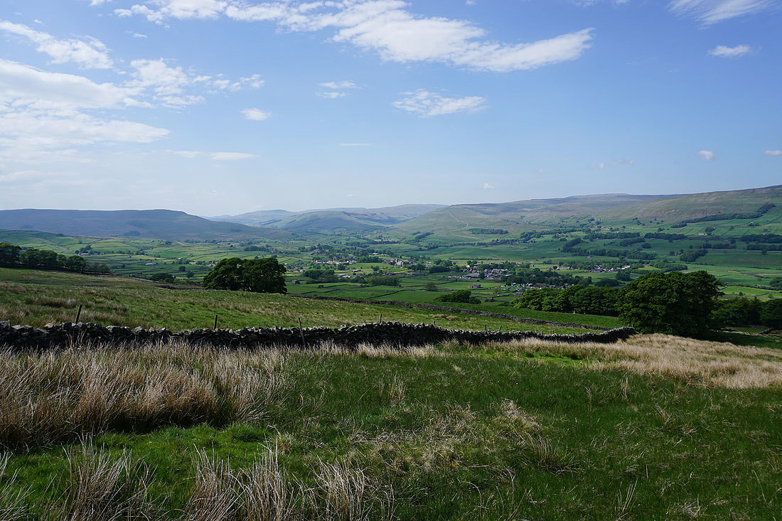
Yorburgh, Wensleydale and Green Scar from the bridleway down to Burtersett
Looking across the head of Wensleydale to Swarth Fell, Wild Boar Fell, Ure Head and Great Shunner Fell
On the bridleway down to Burtersett...
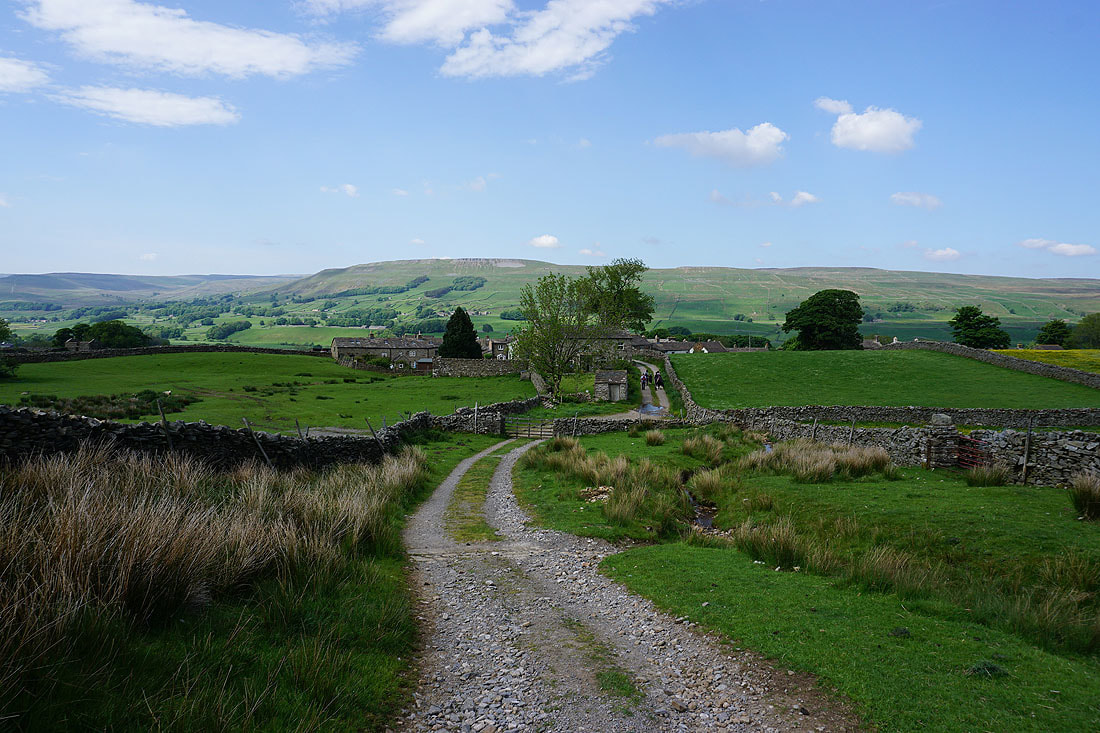
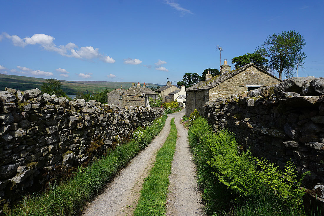
Leaving Burtersett behind..
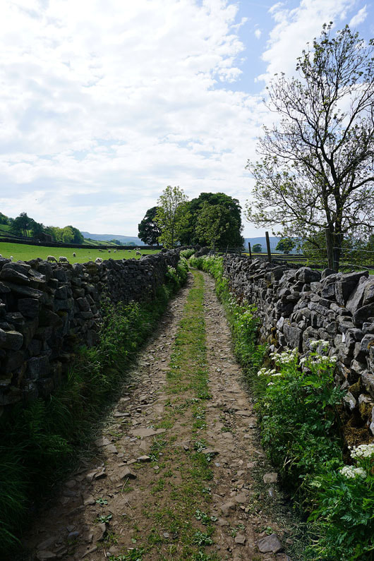
..on Shaws Lane
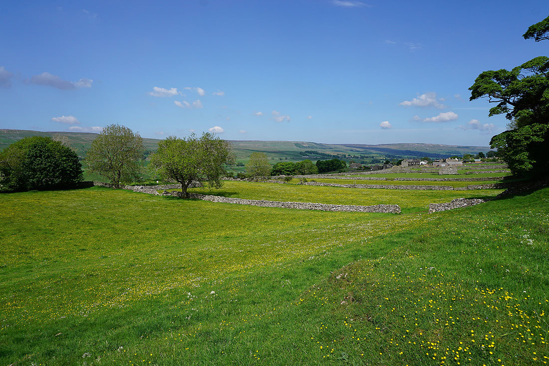
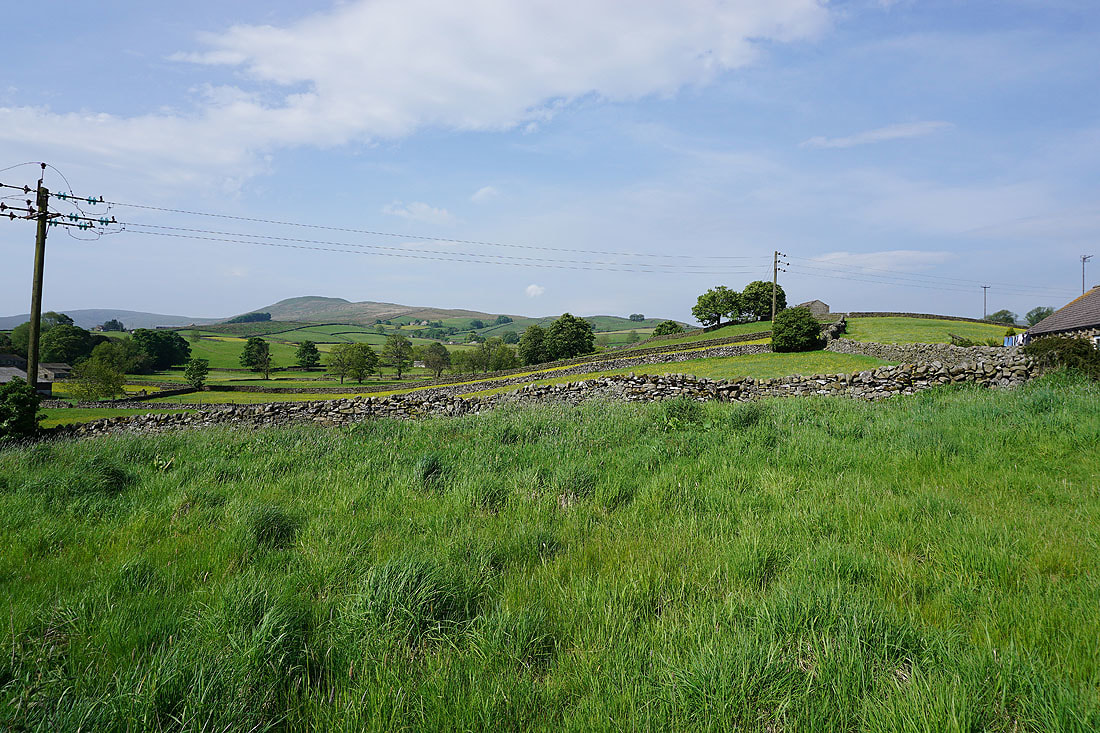
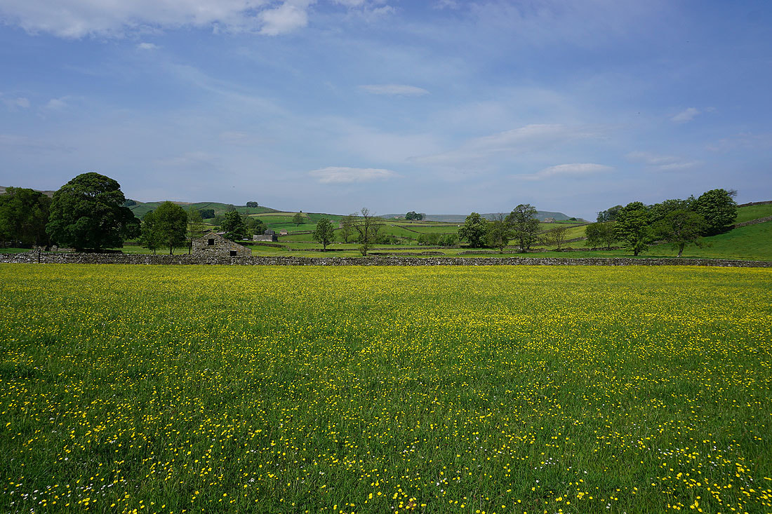
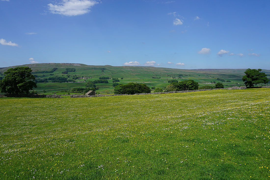
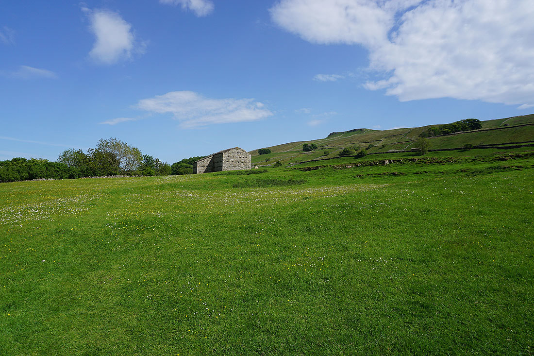
The first of many buttercup filled fields as I reach the end of Shaws Lane..
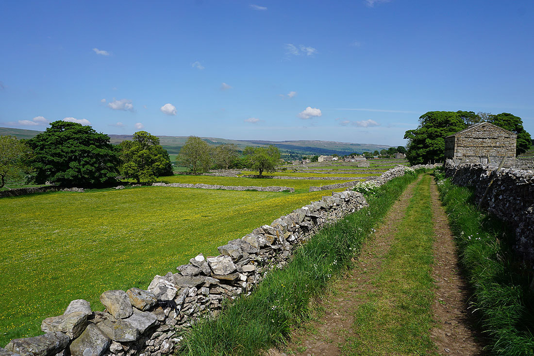
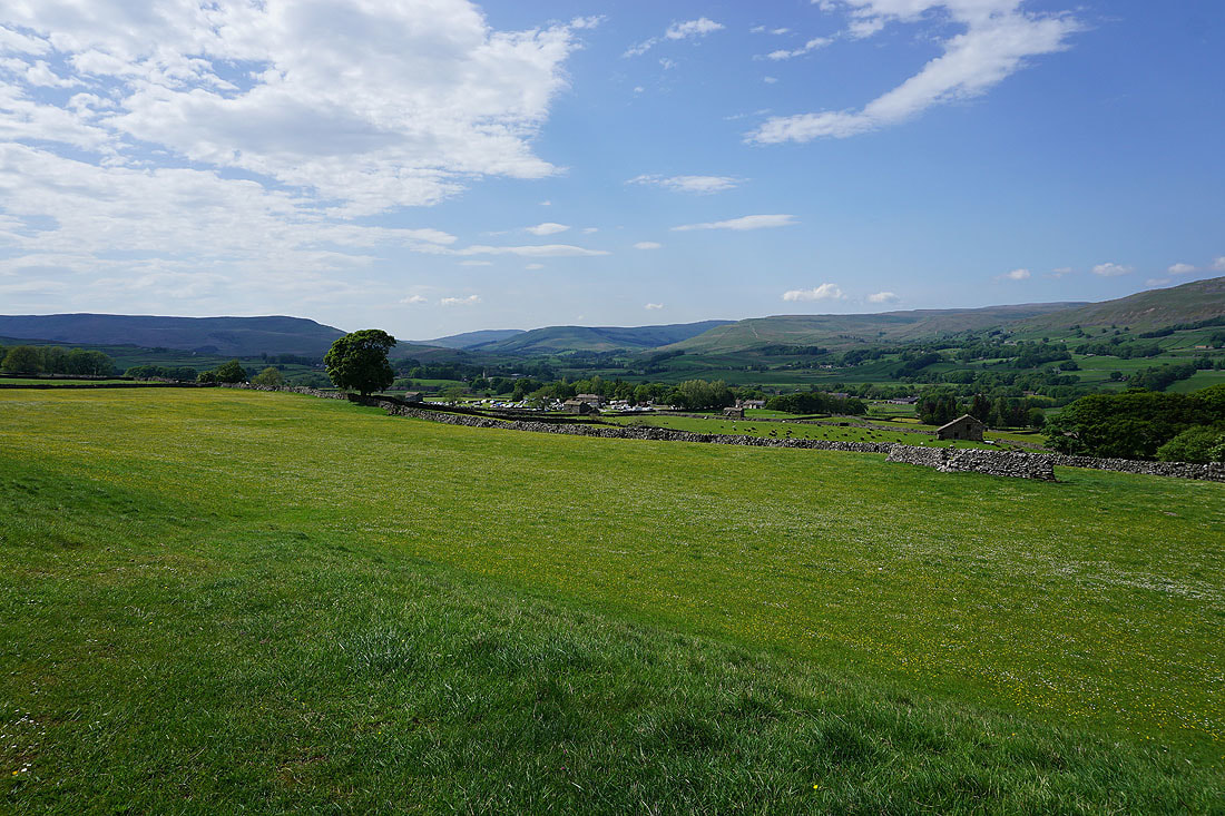
Great views across Wensleydale as I follow the path across fields to Gayle......
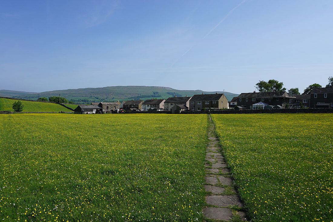
On my way down to Gayle..
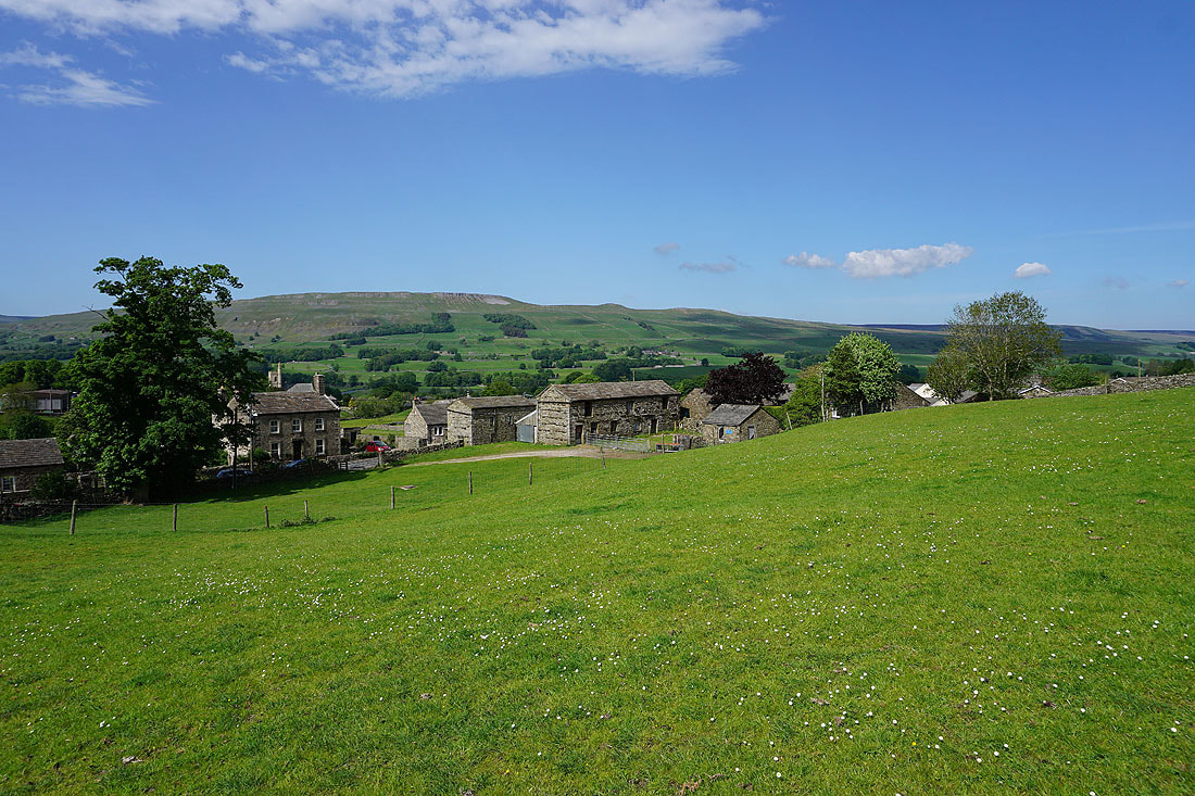
The scars of High Clint above the rooftops of Gayle
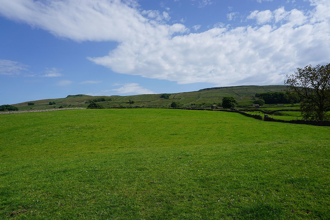
The northern slopes of Wether Fell
|
|
Across Gayle Beck
Back in Hawes at the end of a great walk