27th May 2022 - Steel Knotts to Arthur's Pike
Walk Details
Distance walked: 10.5 miles
Total ascent: 2734 ft
OS map used: OL5 - The English Lakes, Northeastern area
Time taken: 6 hrs
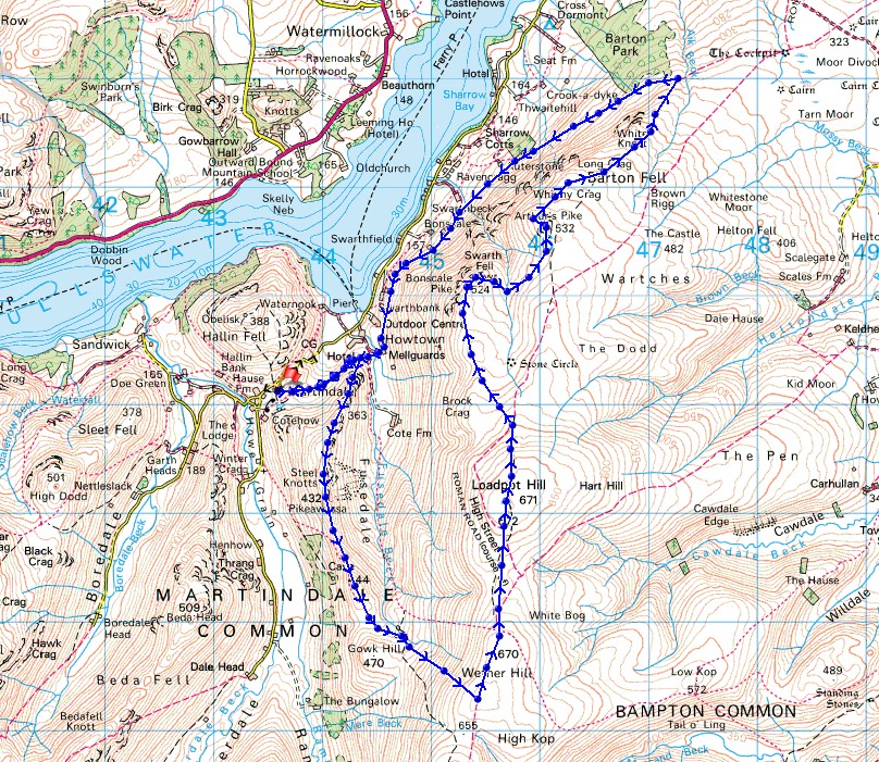
Route description: St. Peter's Church, Martindale-Steel End-Steel Knotts-Wether Hill-Loadpot Hill-Bonscale Pike-Arthur's Pike-Barton Fell-Mellguards-St. Peter's Church, Martindale
It's the last day of my holiday in the Lake District and I've got the best weather of the whole week for it. I checked out of the guest house in Keswick this morning, and wanting to do a walk that would sort of be on my way home, or at least not making the drive back any longer than it already was, I worked out a route on the far eastern fells above Ullswater. Out of the five Wainwrights that I bagged today only Steel Knotts didn't count towards my second round. Wether Hill, Loadpot Hill, Bonscale Pike and Arthur's Pike were last visited in 2009 and 2010. At the end of this week my second round total stands at 145. I set off from St. Peter's church in Martindale with quite a lot of cloud around and a strong breeze blowing, and for the rest of the day I had a mixture of cloudy and sunny spells, with it getting windier the higher up I went. It was particularly strong when I was stood on the edge of the fell at Bonscale Pike and Arthur's Pike, it wasn't easy keeping still to take photos.
After parking at St. Peter's Church in Martindale I took the bridleway east across the hillside to Steel End, and then made my way up onto Steel Knotts and to its summit, Pikeawassa. Once I'd taken in the view I followed a path south across the moor to the head of Fusedale, where I stopped for lunch at the ruins of a hut. After this break I continued on the path up onto the main ridge of the far eastern fells, joining it just south of Wether Hill, then I made my way north along the ridge to Wether Hill and Loadpot Hill. From Loadpot Hill I left the main ridge and crossed the moor to reach Bonscale Pike, and once I'd taken in the view from there I made my way east and across Swarth Beck to reach Arthur's Pike. From there I followed the edge of Barton Fell down to the bridleway on the hillside below and turned left to follow it south to Mellguards and Howtown. I then took the bridleway across a footbridge over Fusedale Beck to Steel End, and from there I retraced my steps back to St. Peter's Church in Martindale.
Route map
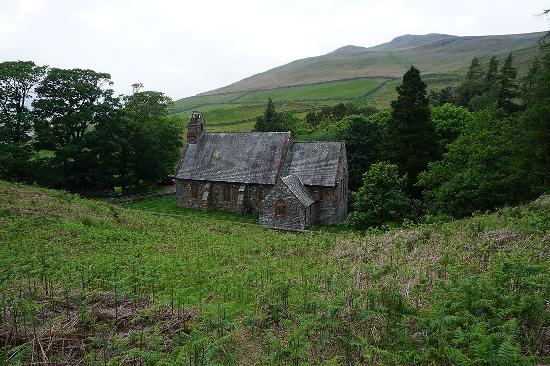
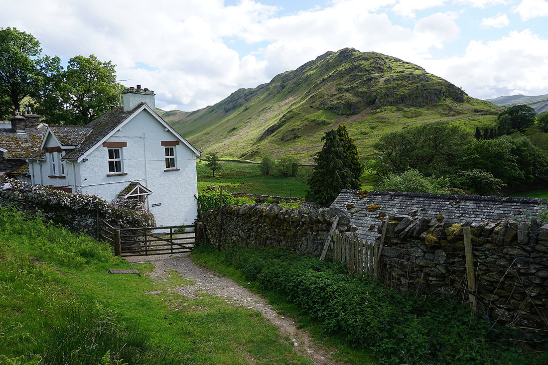
St. Peter's Church, Martindale
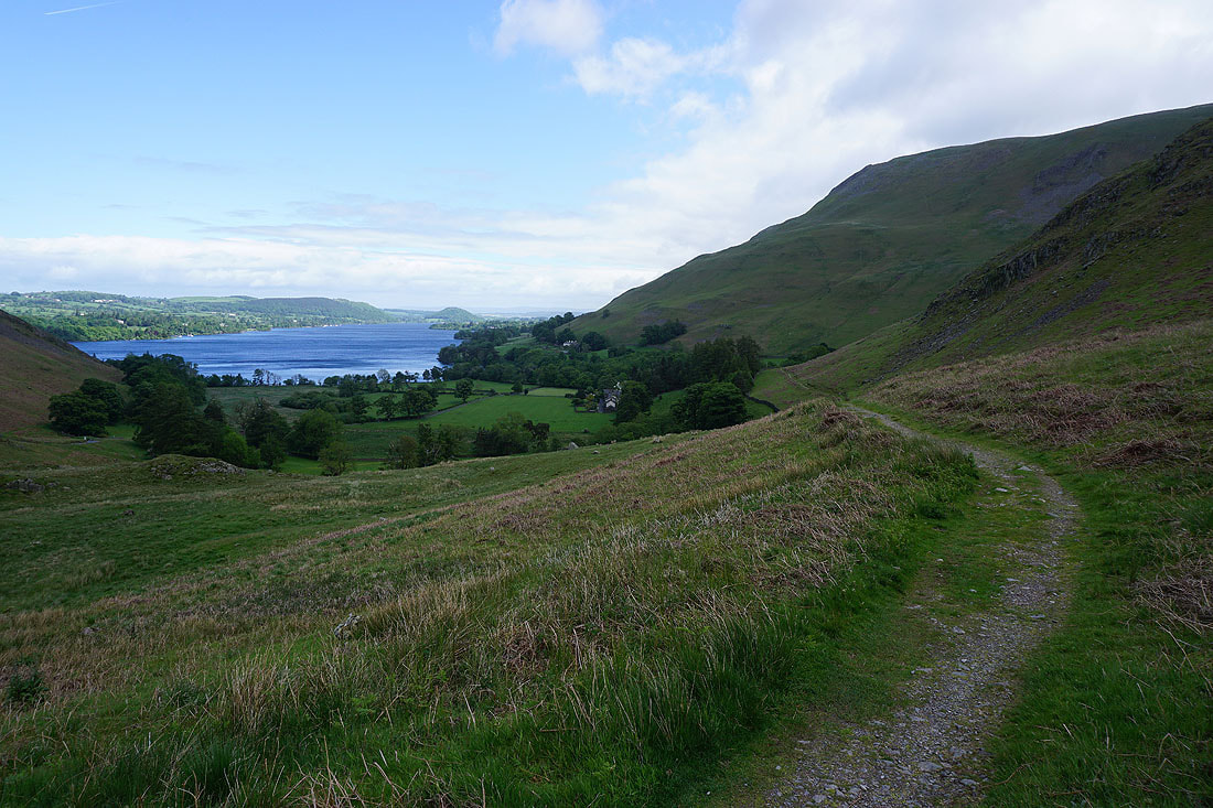
Following the bridleway to Steel End
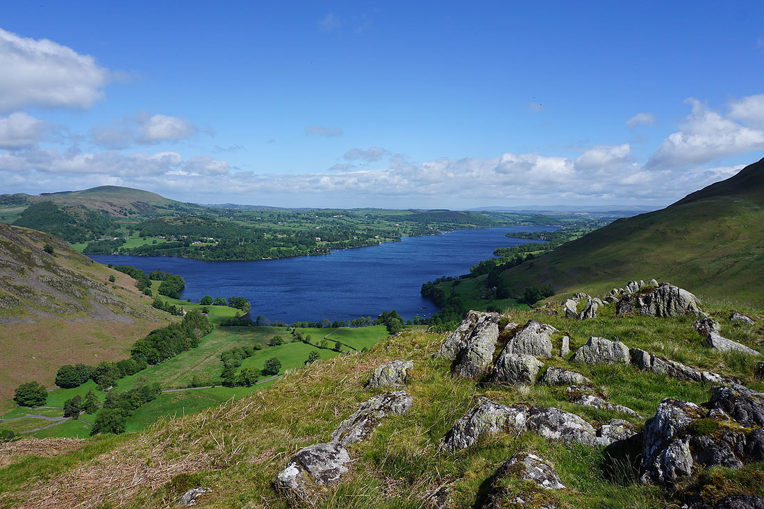
Ullswater from Steel End
Looking through the gap between the northern end of Beda Fell and Hallin Fell to Stybarrow Dodd, Hart Side, Great Dodd, Clough Head, and Gowbarrow Fell in the eastern fells
Heading for the summit of Steel Knotts
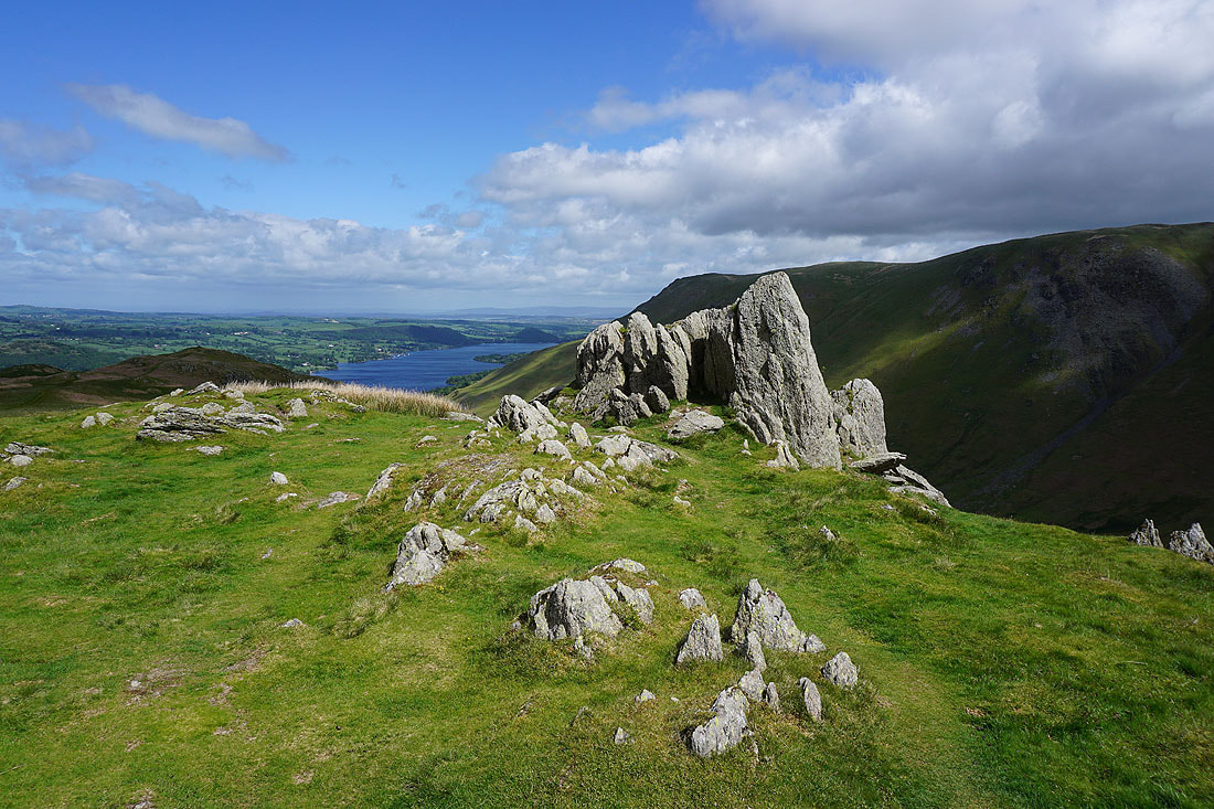
Pikeawassa, the rocky outcrop on the top of Steel Knotts
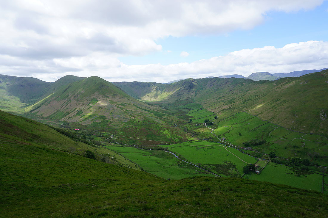
To the south the valley of Howe Grain splits into Ramps Gill on the left and Bannerdale on the right, with High Raise, Rampsgill Head, Rest Dodd and The Nab, and Buck Crag and Heck Crag surrounding their heads..
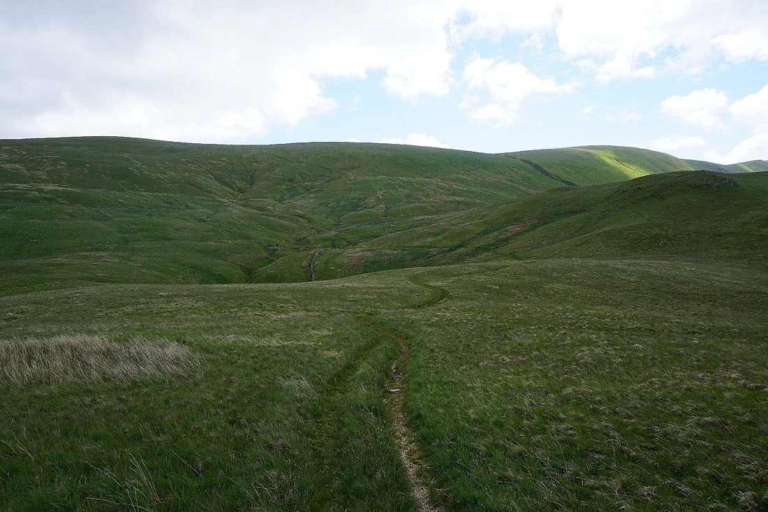
From Steel Knotts I follow a path south across the head of Fusedale and up to Wether Hill
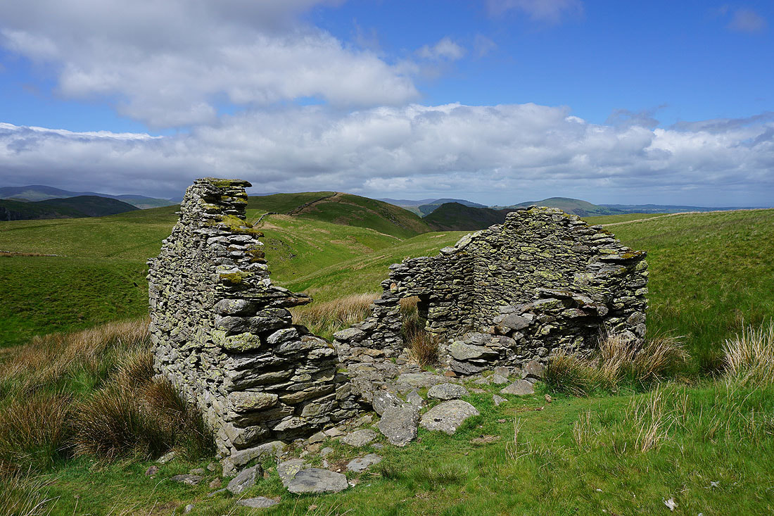
I stop at the ruins of a hut at the top of Fusedale to get out of the wind and have my lunch
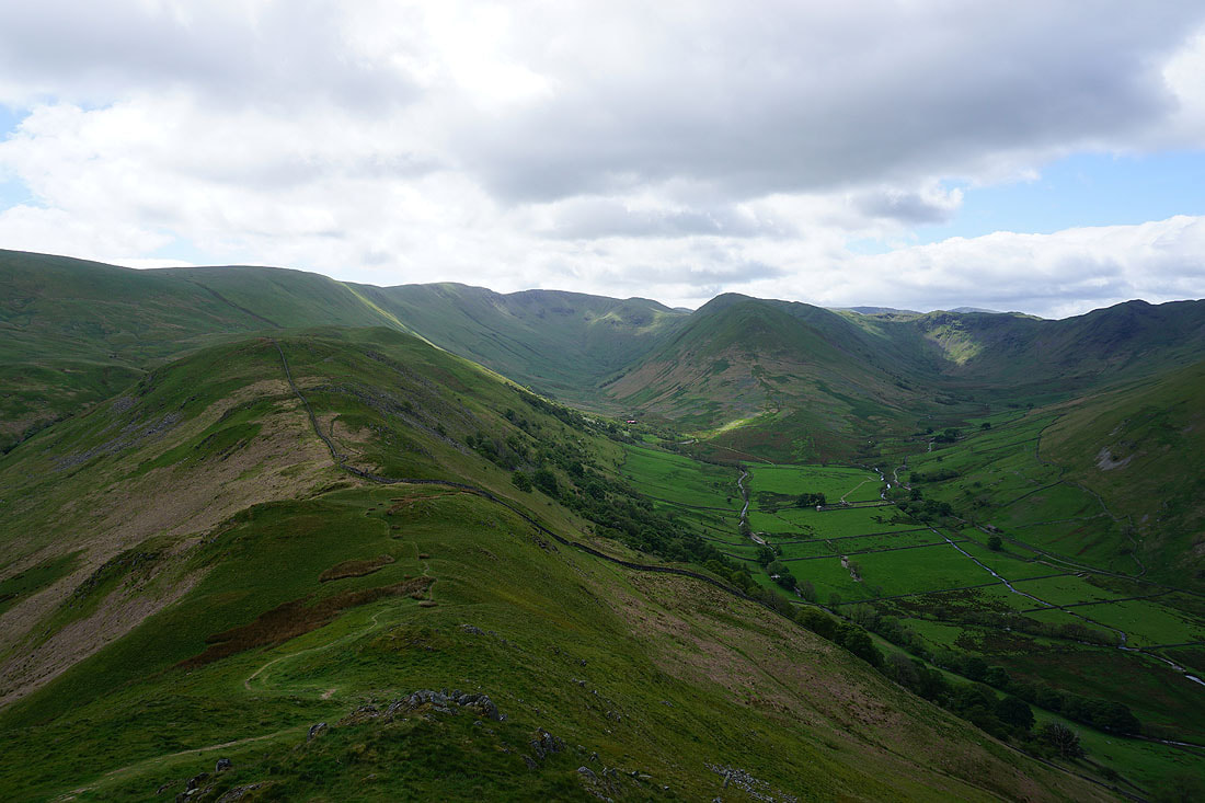
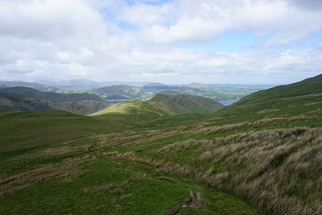
Looking back down the ridge to Steel Knotts as I head up onto Wether Hill
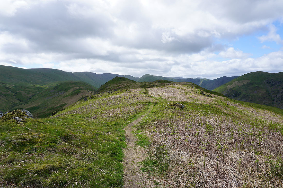
The path joins the moorland ridge to the south of Wether Hill
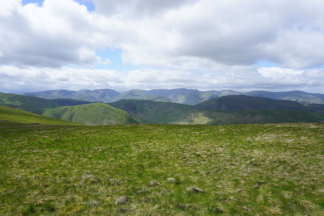
To the west I have a view across to the eastern fells of Dove Crag, Hart Crag, Fairfield, St. Sunday Crag, Helvellyn, and the Dodds beyond the nearby fells of The Nab, Angletarn Pikes, and Place Fell
Looking south to Red Crag with High Raise beyond
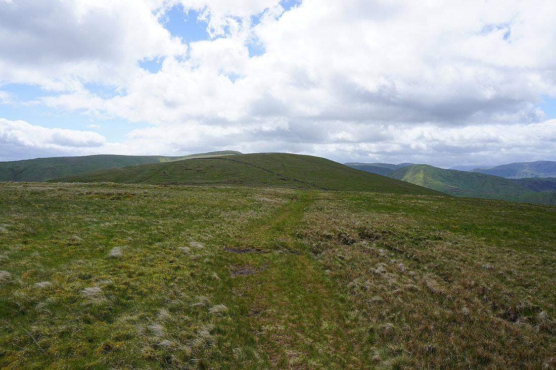
Heading for the top of Wether Hill with Loadpot Hill to the left
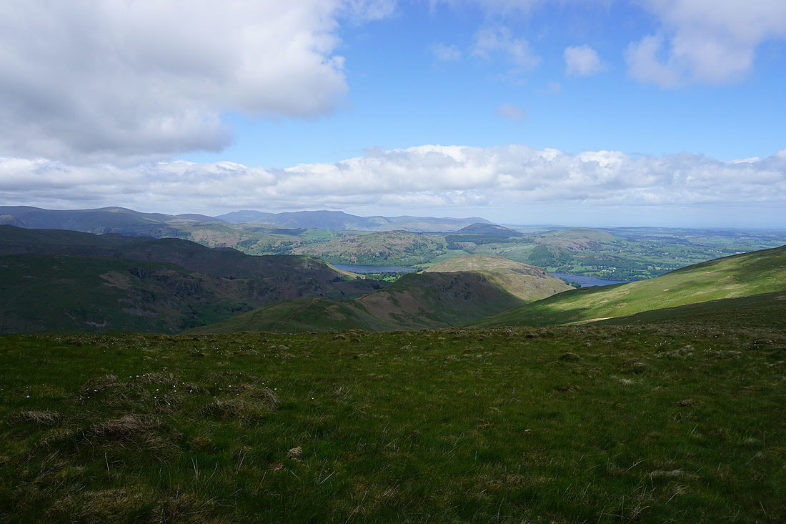
Looking across the fells around Ullswater to Blencathra in the distance
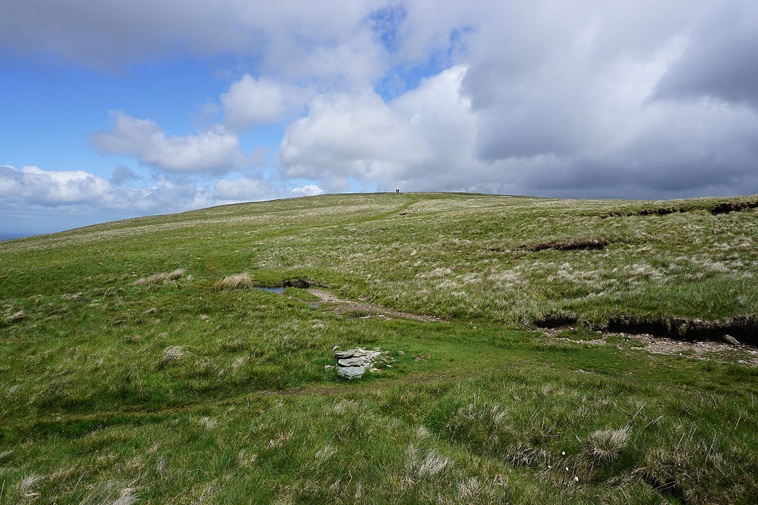
On the top of Wether Hill. Loadpot Hill is just a short distance away to the north.
Looking south to High Raise
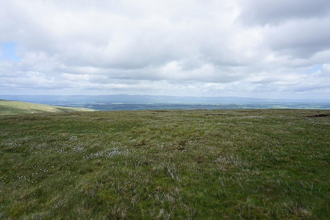
Cross Fell and the North Pennines in the distance on the other side of the Eden Valley
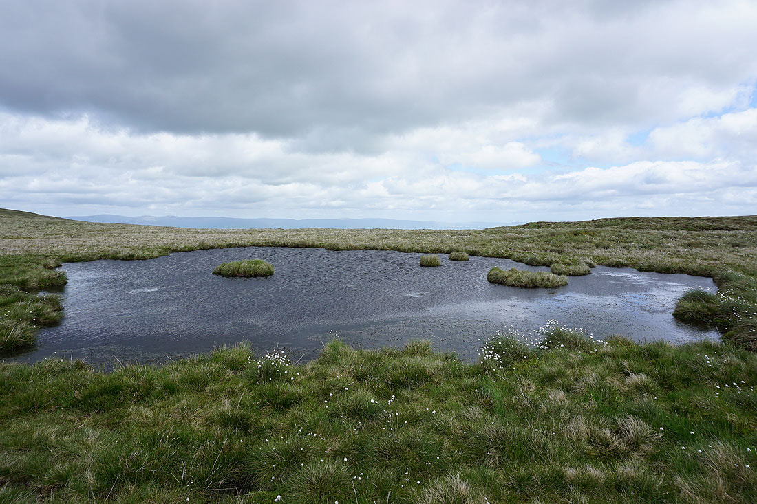
On my way to Loadpot Hill and I pass a very windswept moorland pool
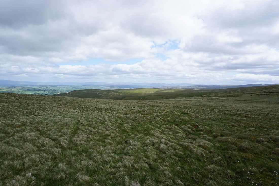
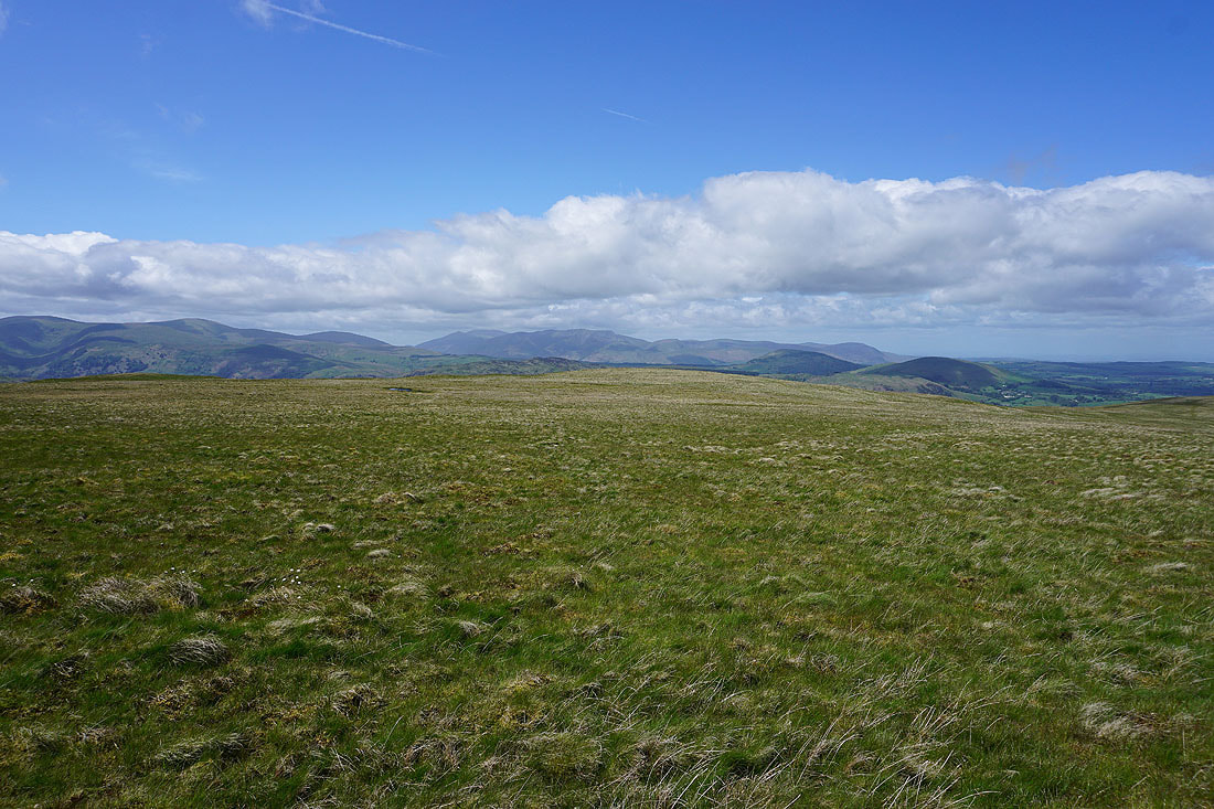
and in the distance I can make out Nine Standards Rigg, Wild Boar Fell and the Howgills beyond the moorland of Low Kop
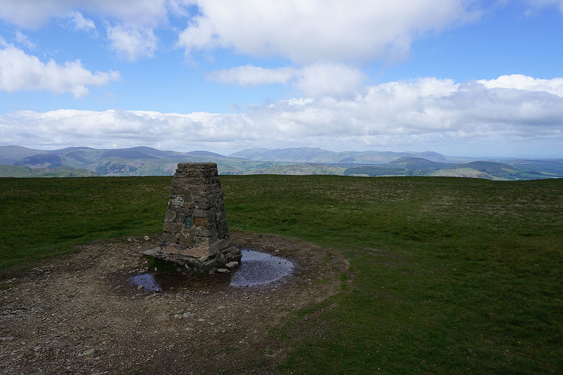
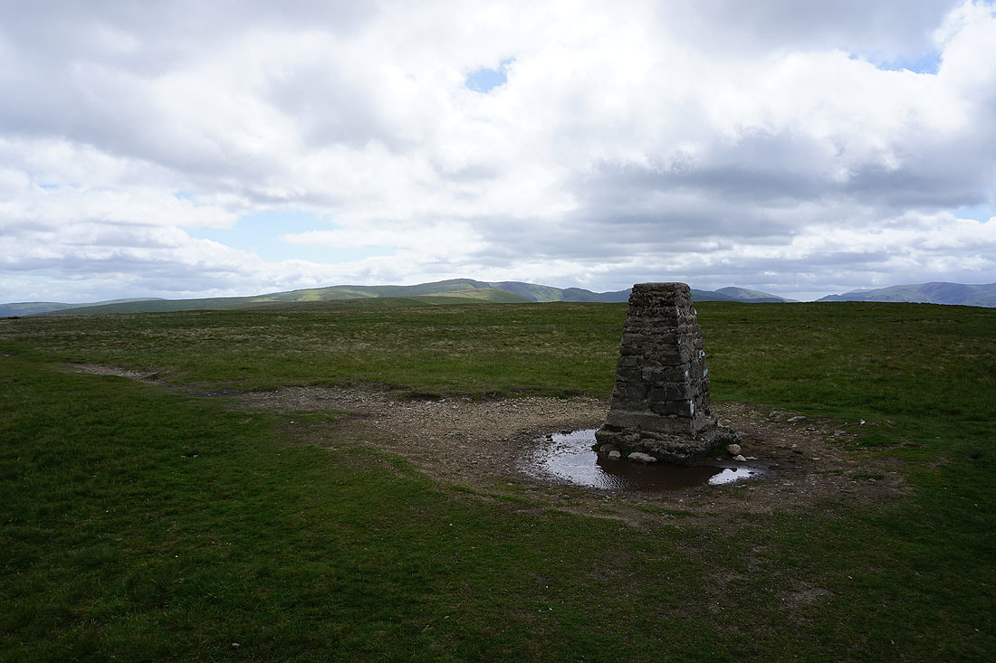
At the trig point on Loadpot Hill. Looking northwest to the Dodds, Skiddaw, Blencathra and Great Mell Fell.
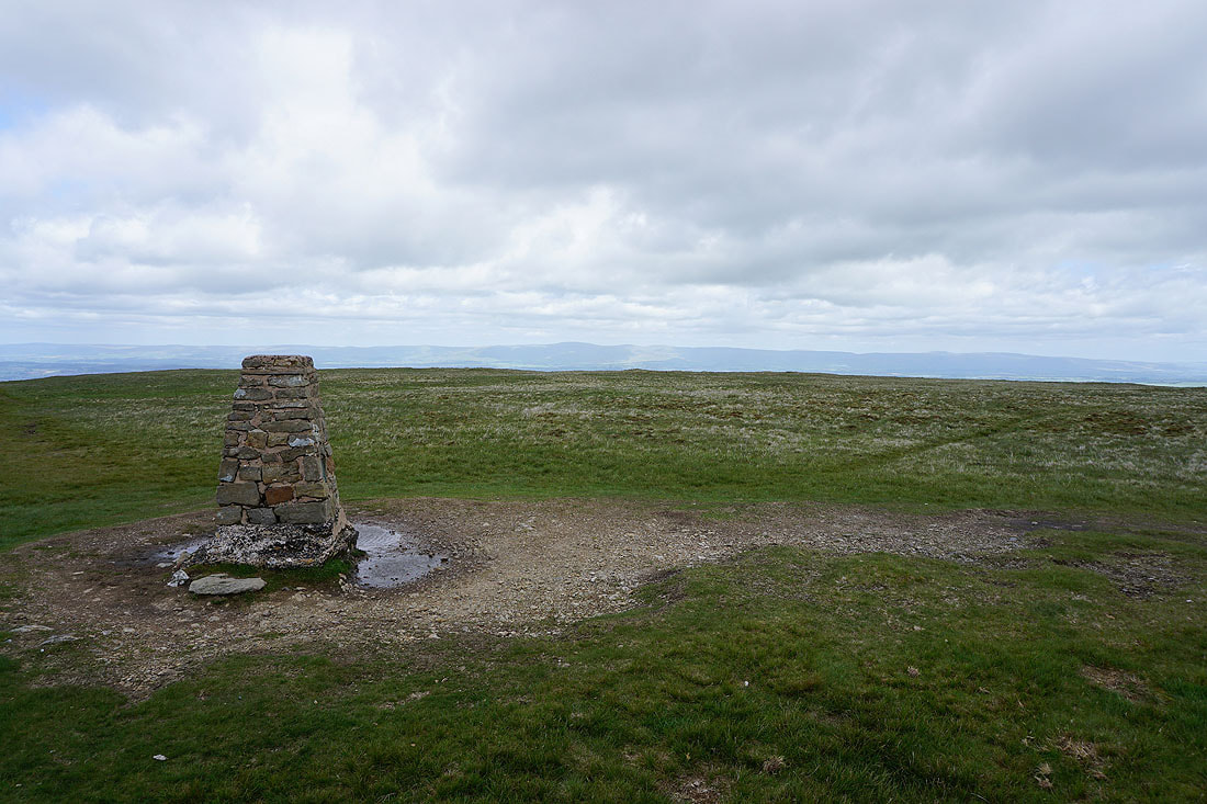
Cross Fell and the North Pennines in the distance
Looking south to High Raise and High Street
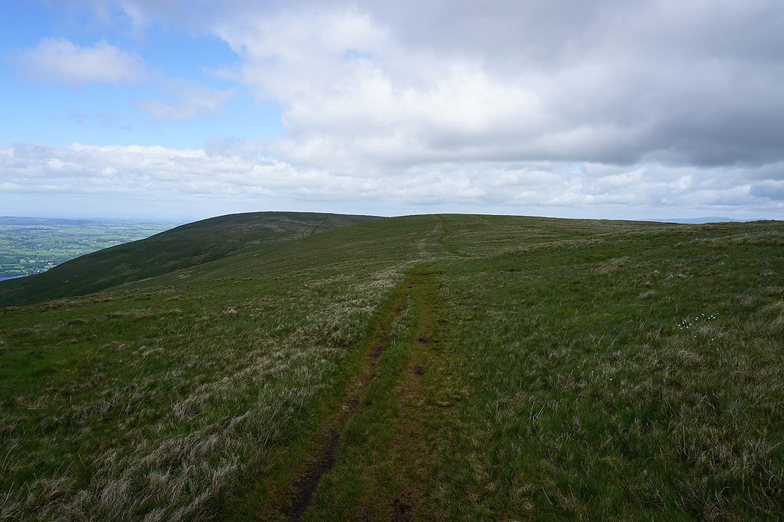
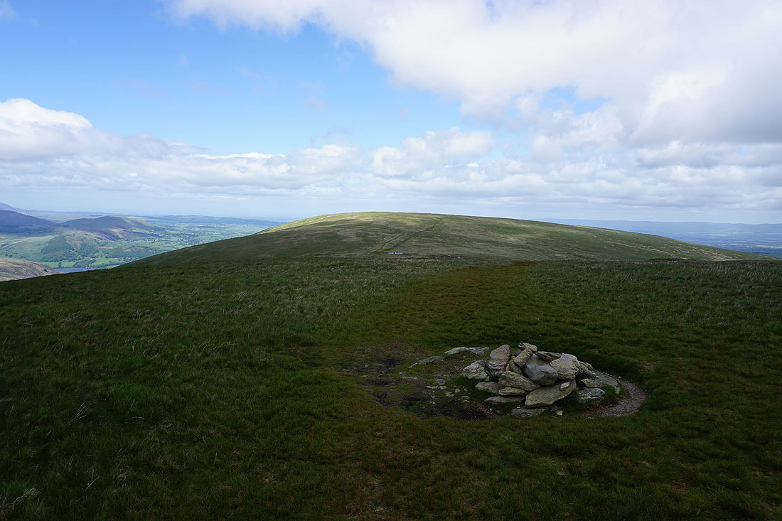
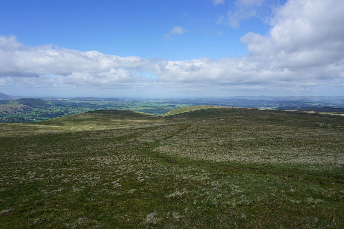
Leaving Loadpot Hill I make my way northwest towards the moorland edge and Bonscale Pike..
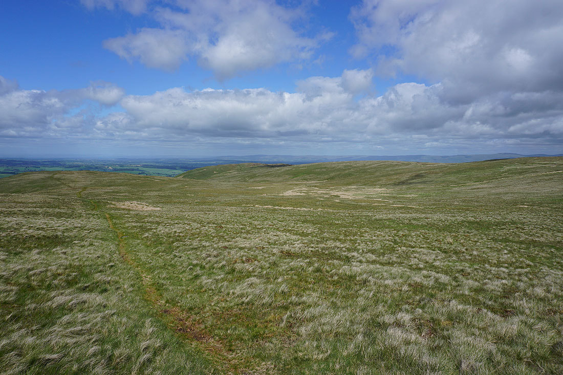
Arthur's Pike is just a short distance away across the moor
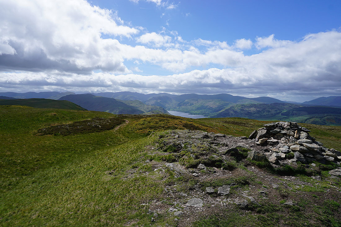
At the cairn on Bonscale Pike. It's very windy. The surface of Ullswater gives the game away.
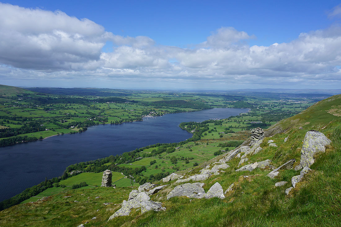
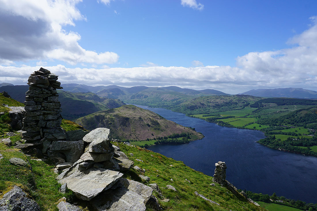
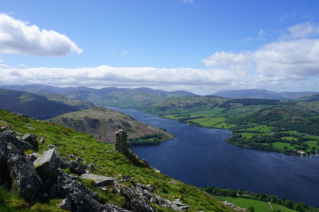
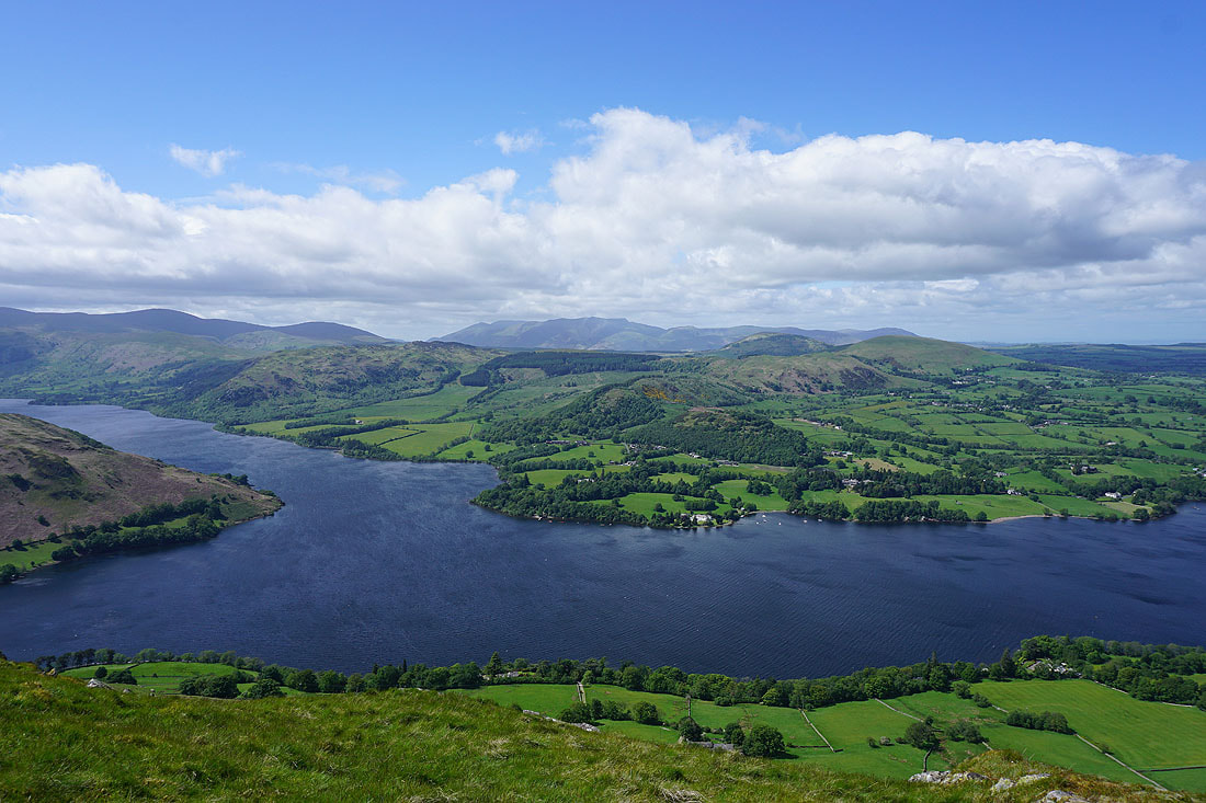
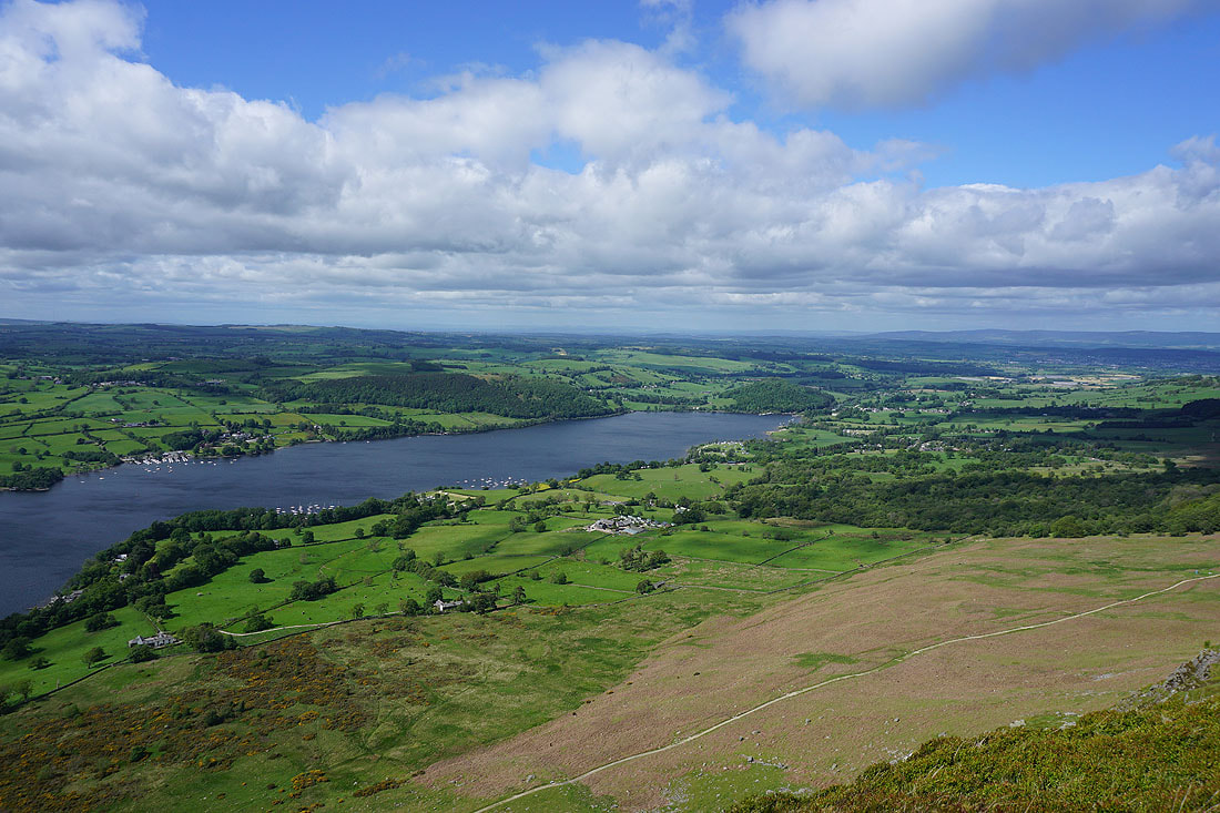
A short distance down the hillside are a couple of well built cairns that have a great view of Ullswater and its surrounding fells. Looking north to the foot of Ullswater, Dunmallard Hill, and Pooley Bridge.
and west to Helvellyn and the Dodds, with Hallin Fell below, and Gowbarrow Fell on the other side of Ullswater..
Gowbarrow Fell, Swinburn's Park, Great Mell Fell and Little Mell Fell, with Blencathra in the distance
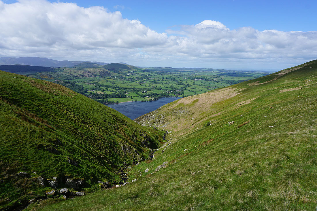
Heading for Arthur's Pike I cross Swarth Beck
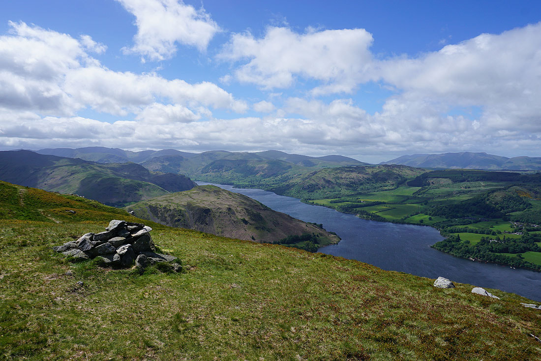
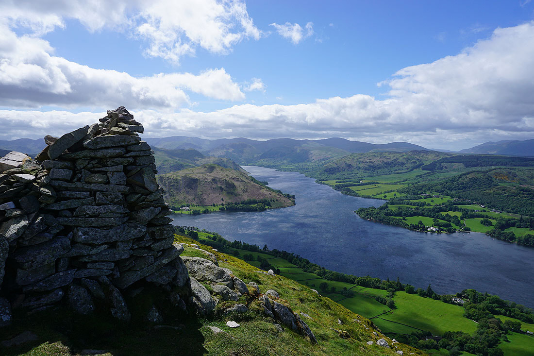
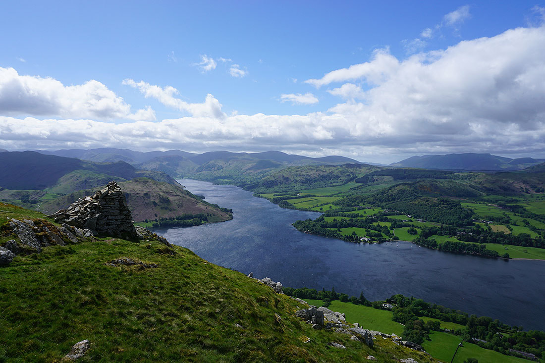
Like Bonscale Pike, Arthur's Pike has a cairn perched on the edge that has the best views of Ullswater. Looking west to Helvellyn and the Dodds, with Hallin Fell below to the right of the cairn, and Gowbarrow Fell on the other side of Ullswater..
Looking north to the foot of Ullswater, Dunmallard Hill, and Pooley Bridge
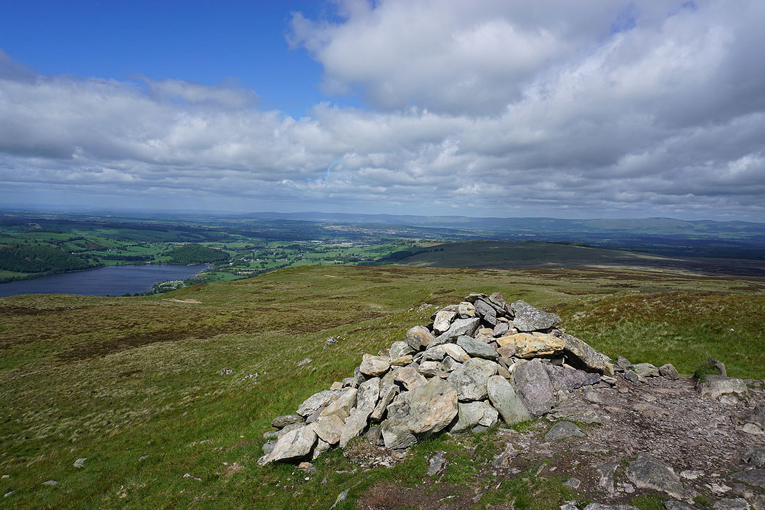
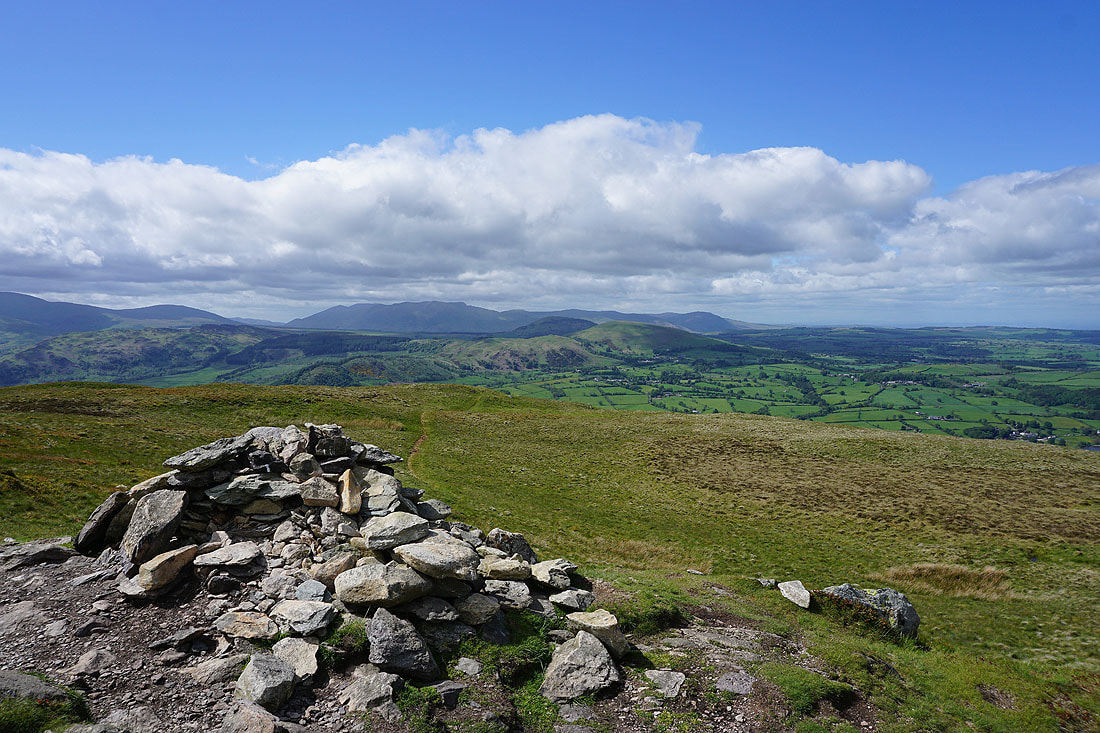
At the summit cairn on Arthur's Pike. The northern end of the North Pennines way in the distance beyond Penrith and the nearby Barton Fell.
Gowbarrow Fell, Swinburn's Park, Great Mell Fell and Little Mell Fell, with Blencathra and Carrock Fell in the distance
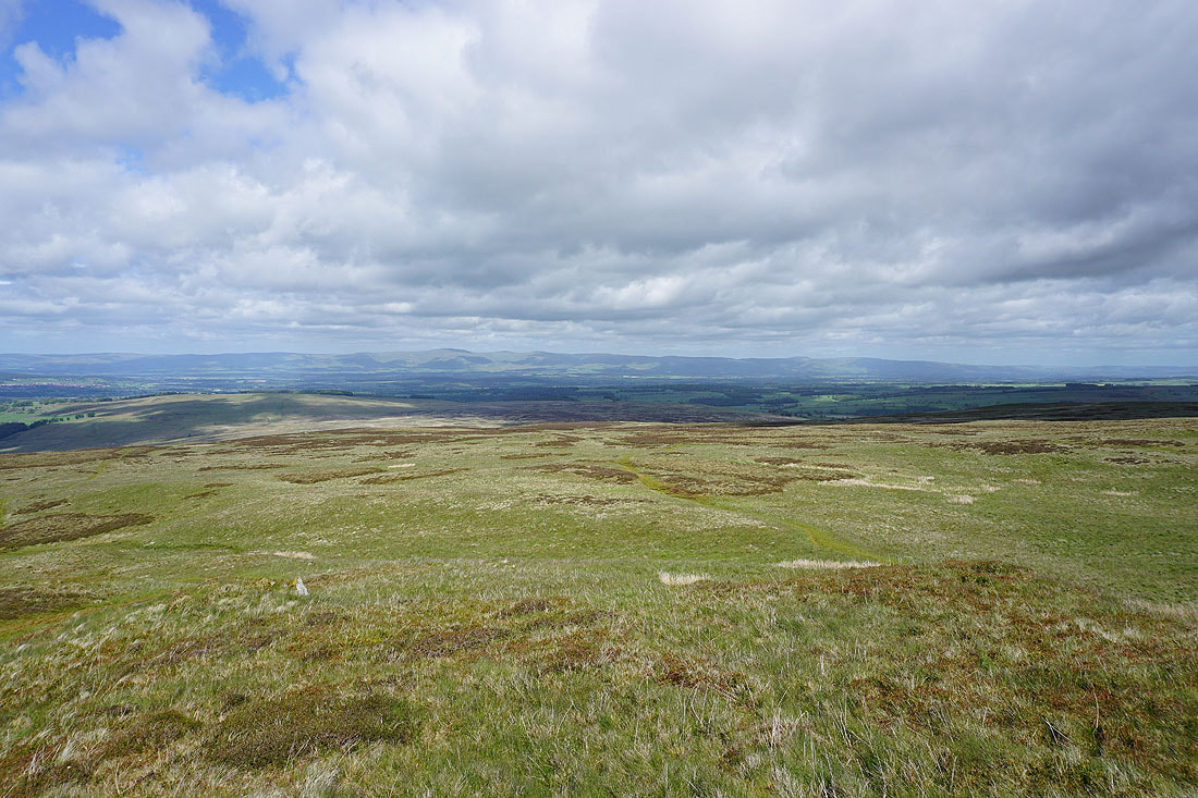
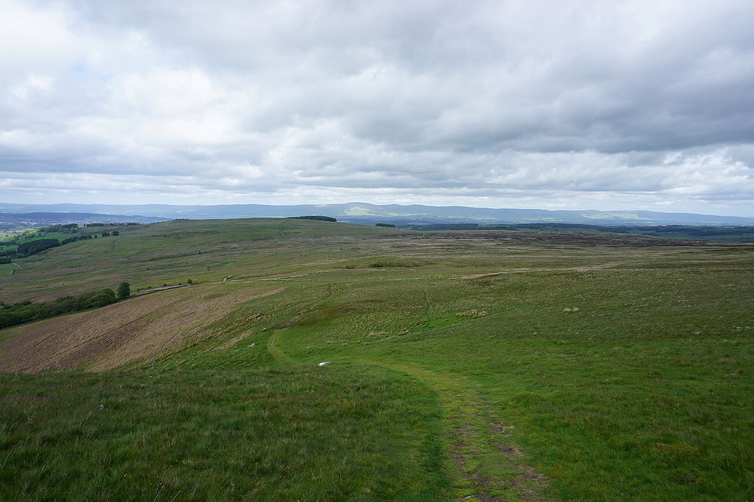
Cross Fell and the North Pennines on the other side of the Eden Valley
Looking southwest to Fairfield, St. Sunday Crag, Place Fell, Helvellyn and the Dodds
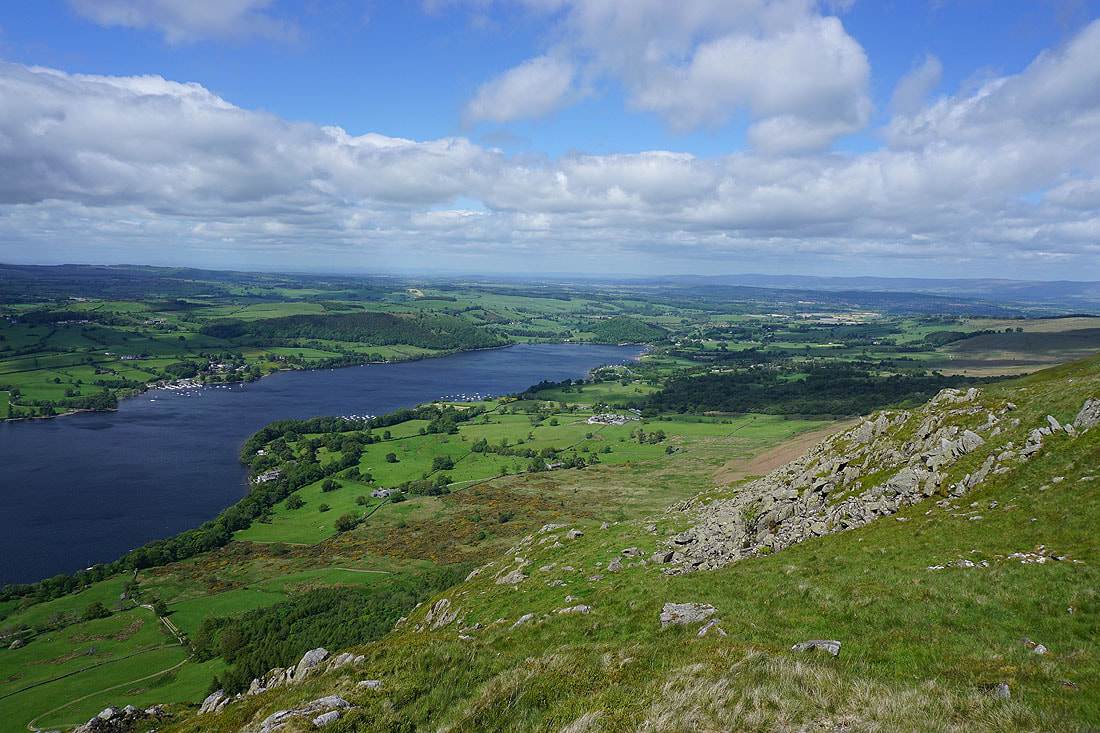
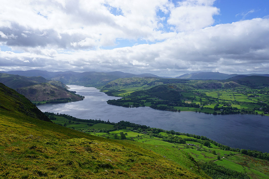
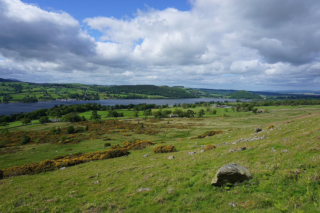
More views of Ullswater as I make my way north along the edge of the fell...
The bridleway to Howtown is just ahead on the moorland below
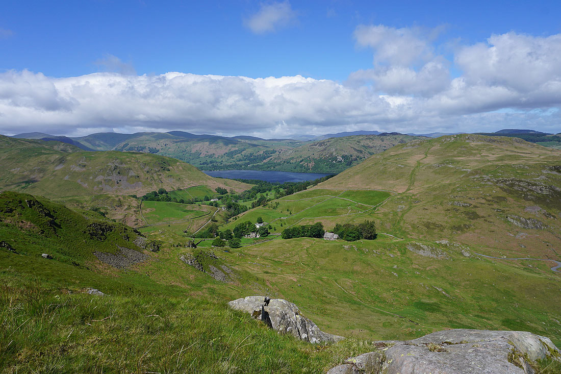
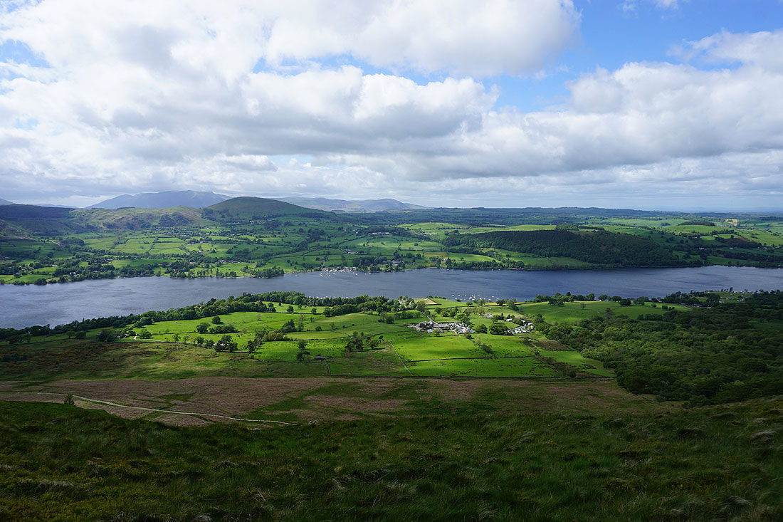
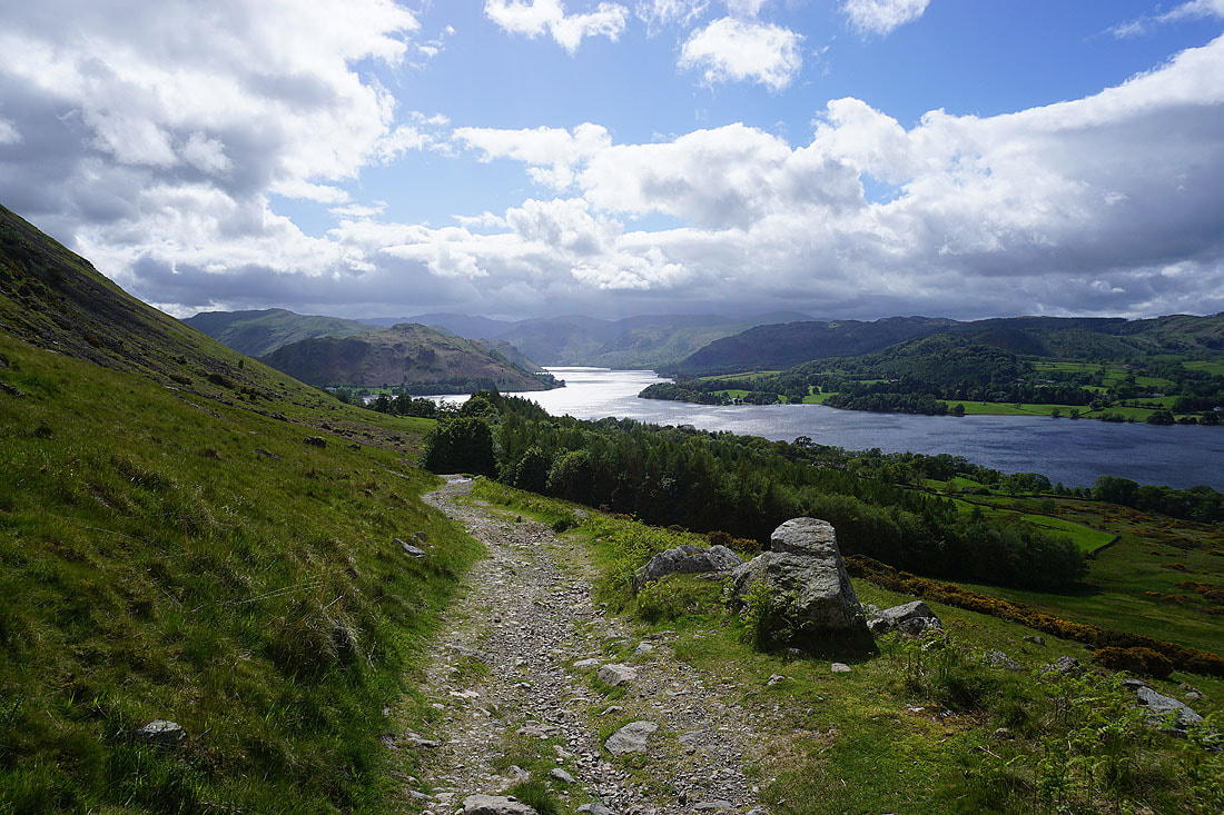
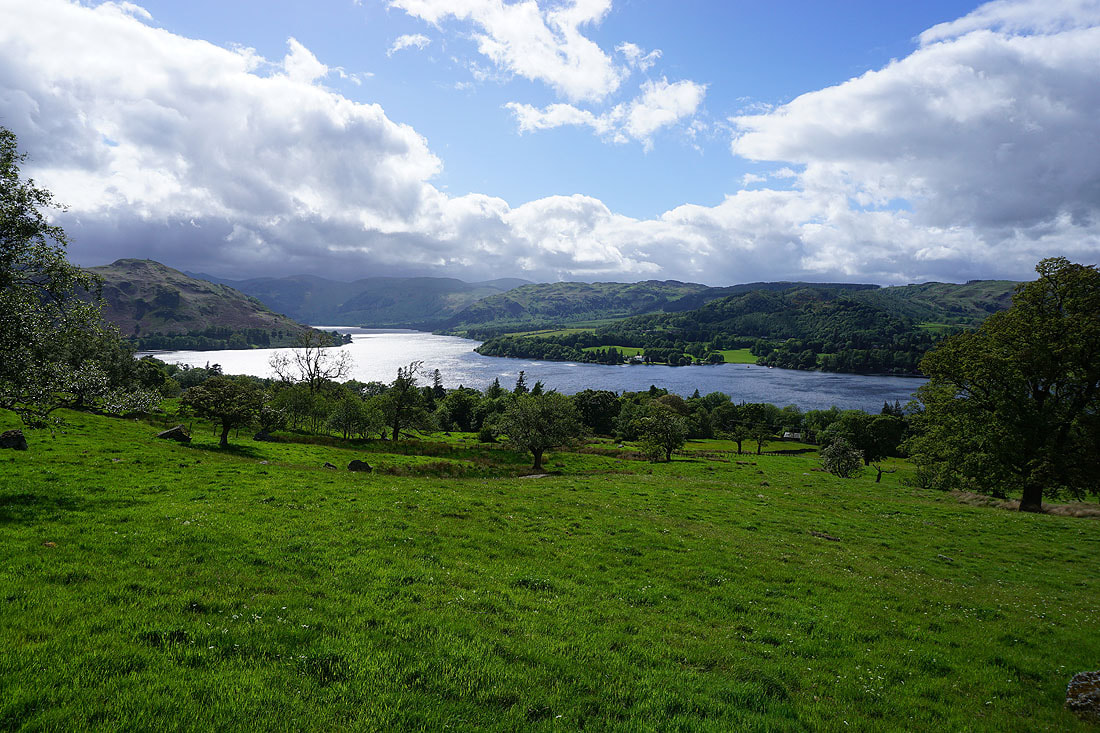
Views of Ullswater as I follow the bridleway to Howtown...
At Mellguards with the imposing Steel End on the right
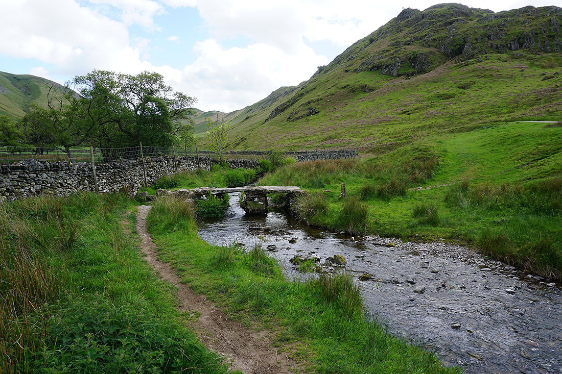
Crossing the footbridge over Fusedale Beck
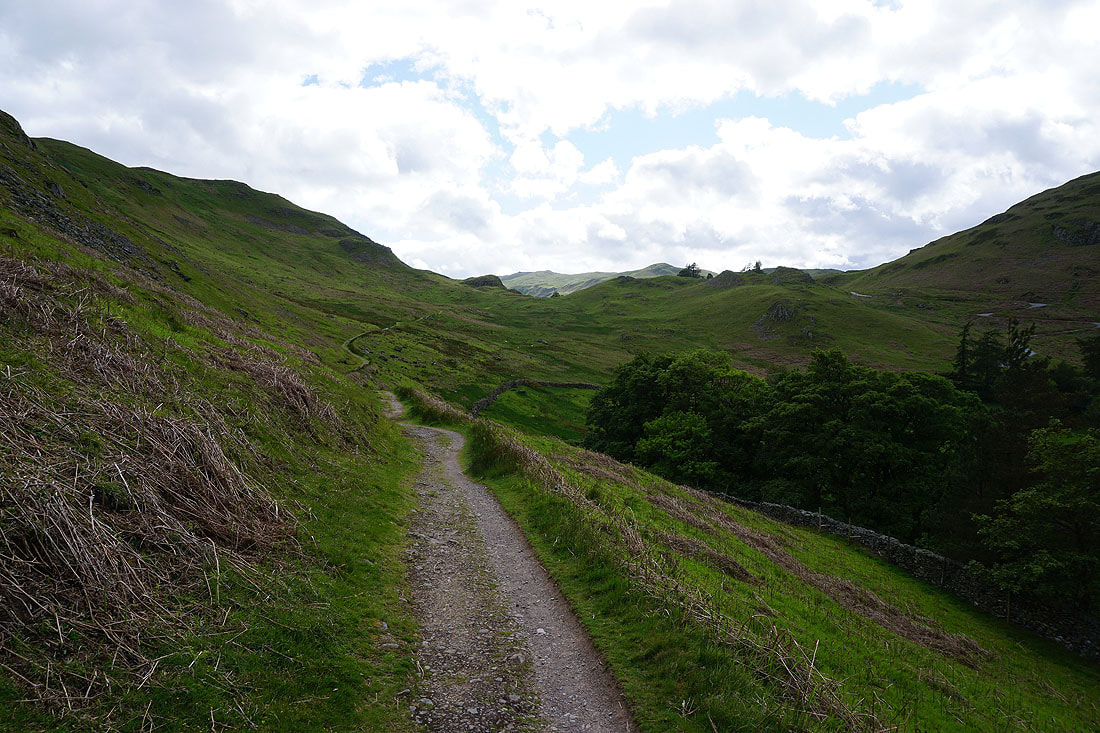
Following the bridleway across the hillside below Steel End back to St. Peter's Church, Martindale
