27th May 2023 - Weets Hill and Wheathead Height
Walk Details
Distance walked: 14.7 miles
Total ascent: 2617 ft
OS map used: OL21 - South Pennines
Time taken: 7 hrs
Route description: Foulridge-Hey-Hey Fold-Booth House Farm-Park Close-Moor Lane-Dye House Farm-Letcliffe Country Park-Manchester Road-Lane Bottom-Moor Side Farm-Folly Lane-Pendle Way-Weets Hill-Pendle Way-Pennine Bridleway-Stocks Lane-Middop Hall-Whytha Road-Rimington Moor-Wheathead Height-Wheathead Lane-Pendle Way-Blacko Bar Road-Pendle Way-Water Meetings-Blacko-Burnt House Farm-Blacko Hill Side Farm-Blacko Hill-Hollin Hall-Barnoldswick Road-Slipper Hill Reservoir-Reedymoor Lane-B6251-Foulridge
There's some great weather forecast for the Bank Holiday weekend, and today will be no exception. I'll go walking further afield on one of the other days but for today I'll do a long walk from home and take in my local Pendle countryside looking at its best. I hadn't done this exact route before, but most of it was already familiar to me from the many walks that I've done up Weets Hill, and from the longer routes that I worked out during the COVID-19 lockdowns. It was a glorious late spring day for being on the moors with more or less wall-to-wall blues skies and sunshine, and with great visibility there were fantastic views to take in.
Setting off from home I walked to the western end of Station Road and took the footpath straight up the hill and across fields to the corner of Whitemoor Road. Here I turned right and took a lane past some houses, then a footpath on the right down to Hey Fold. The next bit was a little complicated as I took the footpath right at Hey Fold, then left across the crest of a little hill and past Hullet Hall down to County Brook Lane. I briefly walked down the lane, took a footpath on the left through a patch of woodland and across a bridge over County Brook, before resuming following footpaths north across fields past Wood End Farm and Booth House Farm to Park Close on Moor Lane. After crossing Moor Lane I took the footpath opposite and followed it north through fields to Dye House Farm, from where I took a footpath up the hillside on the right to Letcliffe Country Park. After making my way through the park and out to Manchester Road, which I crossed, I walked up Lane Bottom opposite to Moor Side Farm to take a public footpath on the right across fields to Folly Lane. I then walked up Folly Lane until I reached a stile on the right and the trail of the Pendle Way. The stile was crossed and the Pendle Way followed up to the summit of Weets Hill. After a stop to take in the view, I made my way to the top of Gisburn Old Road, took the Pennine Bridleway and followed it north until I reached Stocks Lane, which took me west and across the A682 to Middop Hall. From Middop Hall I then walked west along Whytha Road and past Whytha Farm, before turning left and taking the track uphill past Higher Gills Farm to reach the footpath up onto Rimington Moor. On Rimington Moor I took the footpath signposted for Jackson's House and followed it south up onto the top of Rimington Moor and then south to Wheathead Height, where I picked up a track and followed it down to Wheathead Lane. I then walked down Wheathead Lane to the bridge over Admergill Water where I joined the Pendle Way, followed this south to Blacko Bar Road, and then down to Water Meetings, to walk up a track to the A682 through Blacko. After crossing the road I took the footpath opposite to reach Beverley Road, which I crossed, to take the footpath opposite to and around Burnt House Farm and then a footpath on the left up to Blacko Hill Side Farm and up onto Blacko Hill. I then made my way north across Blacko Hill until I reached a footpath on the right, crossed the wall, and followed it down through fields to Hollin Hall on Barnoldswick Road. I crossed the road and took the footpath opposite down through fields to where it meets the lane by Slipper Hill Reservoir. After a quick visit to Slipper Hill Reservoir I returned to the lane, walked down to the bridge over Wanless Water, and took the bridleway on the left to Reedymoor Lane, which I walked north along to the B6251 for a return to Foulridge and home.
Route map
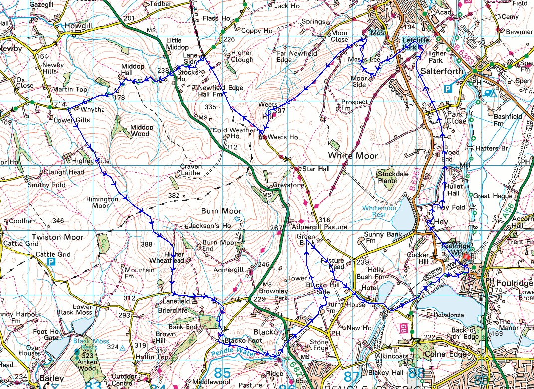
© Crown copyright. All rights reserved. License number PU 100034184.
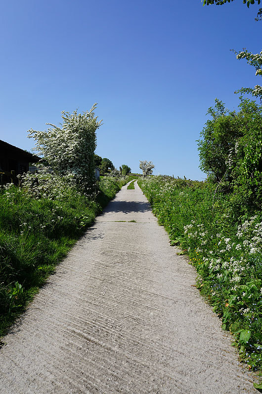
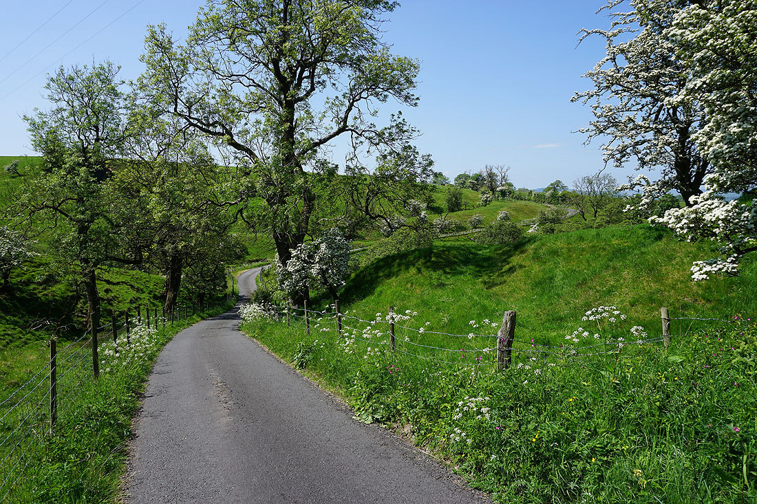
Leaving Foulridge behind on a beautiful spring morning...
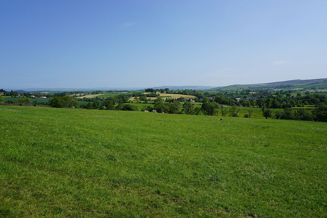
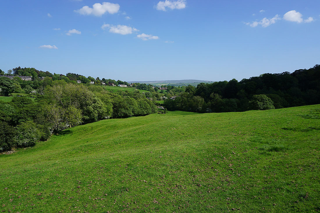
Looking back to Foulridge with Boulsworth Hill in the distance
Taking the path north to County Brook from Hey...
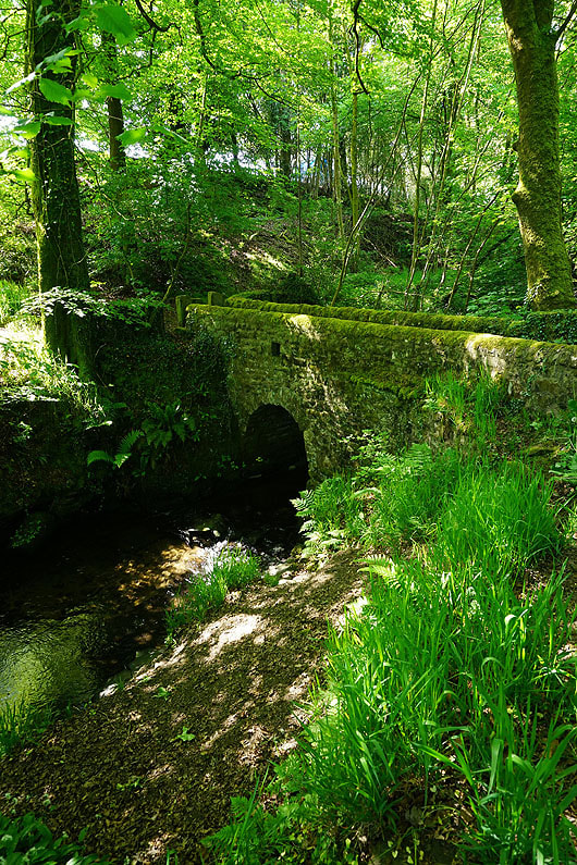
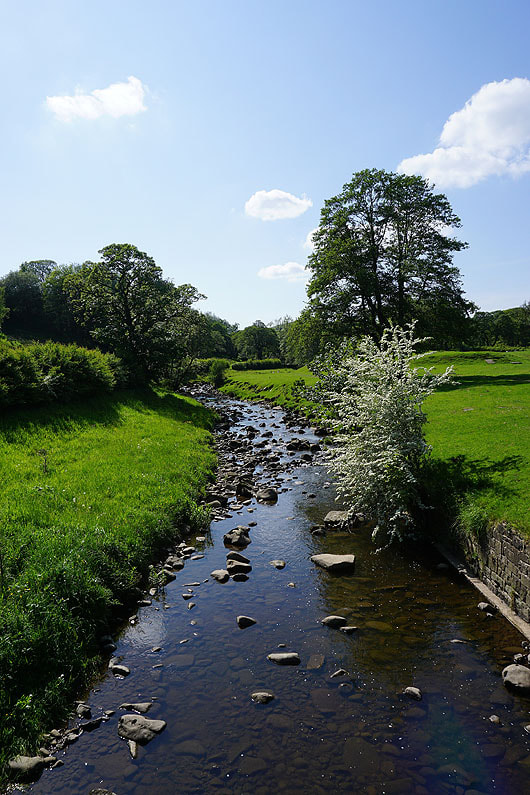
The footbridge over County Brook
Looking across to Earby and Bleara Moor from above Booth House Farm
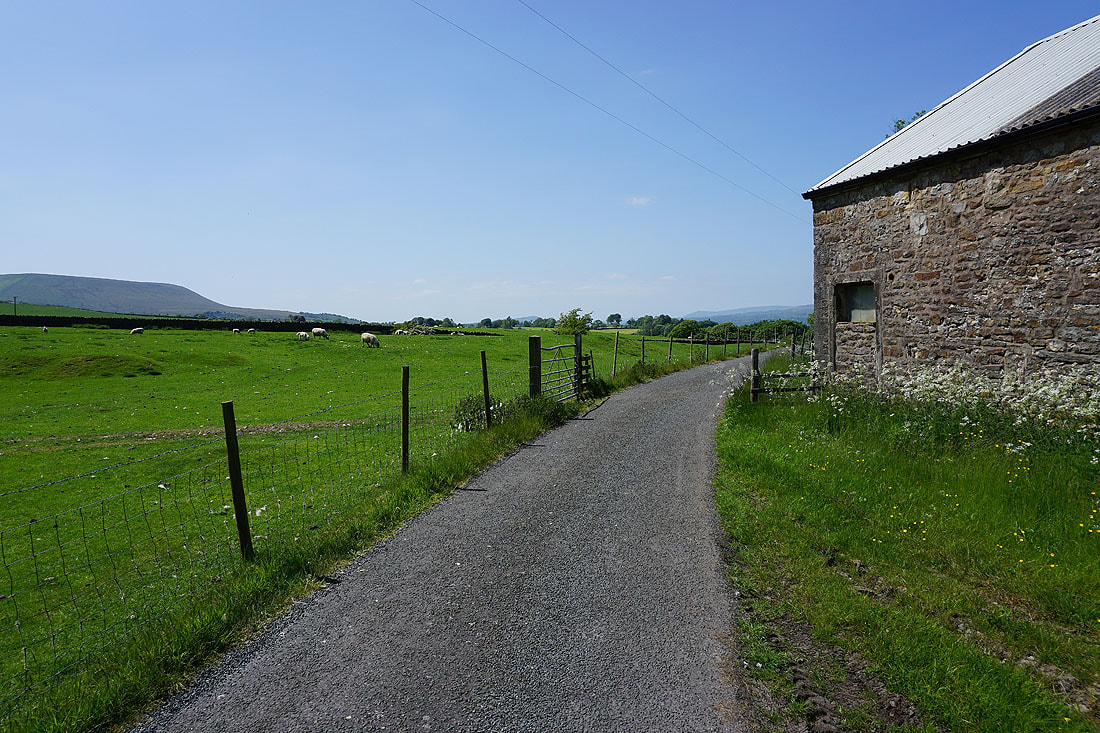
Following the field paths north from County Brook and I approach Park Close on Moor Lane
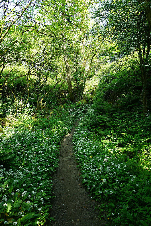
The footpath on the other side of Moor Lane takes me through a patch of woodland with wild garlic in flower
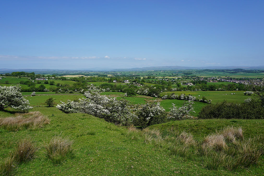
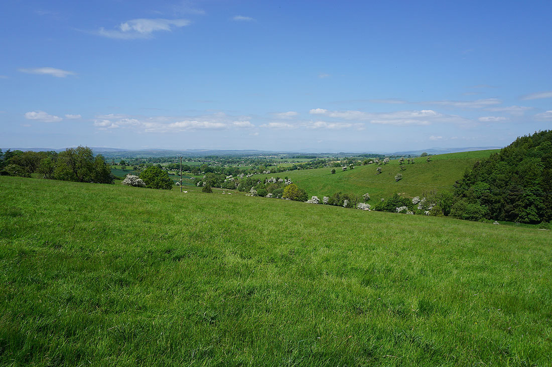
Out of the woodland and I get a view across to Barden Moor and the moors around Wharfedale
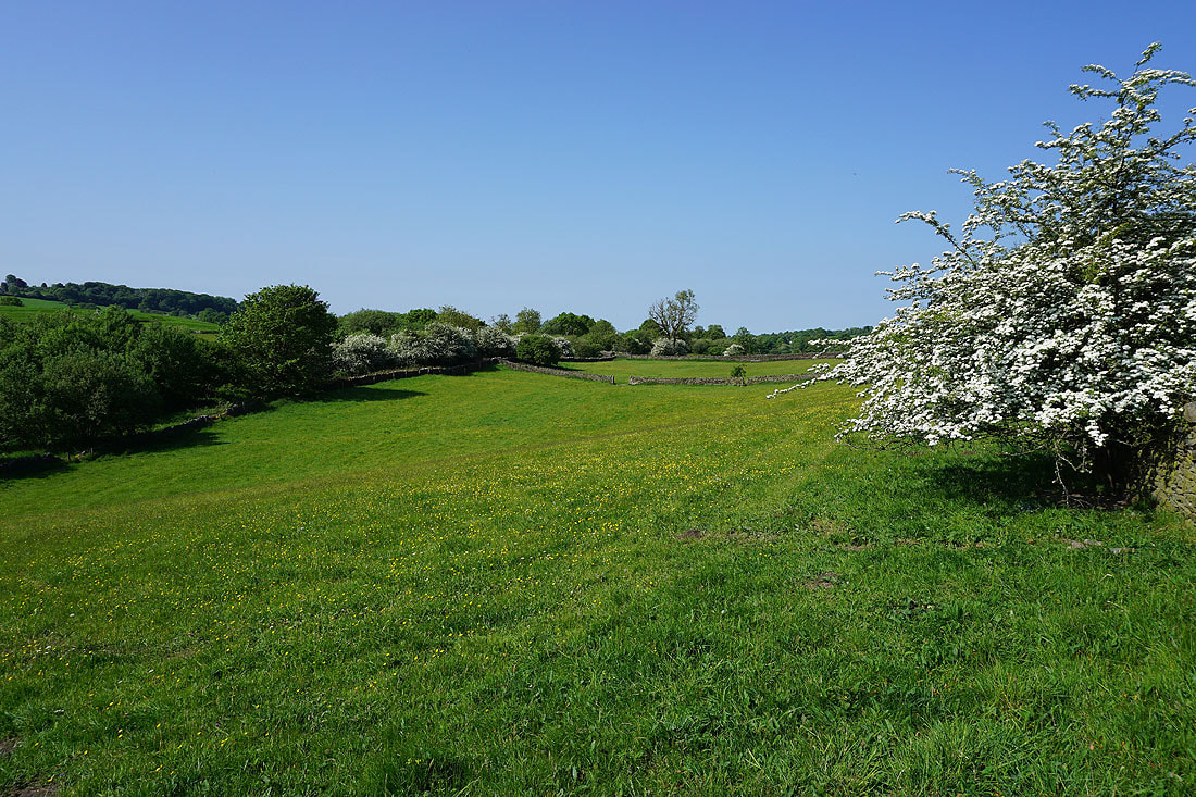
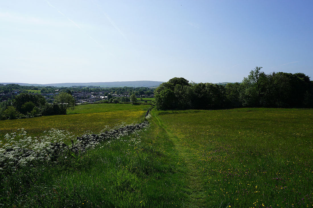
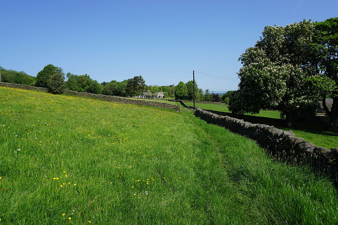
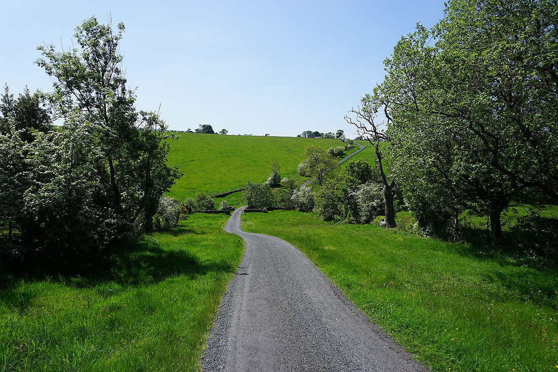
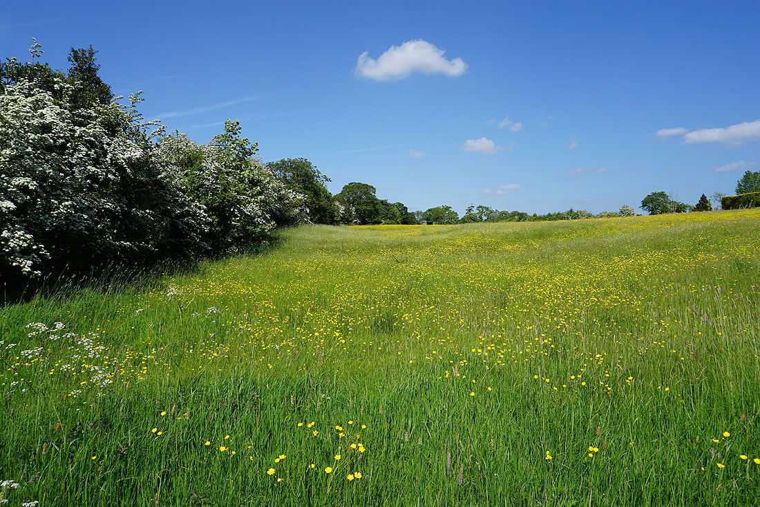
Walking through hay meadows on the path to Dye House Farm..
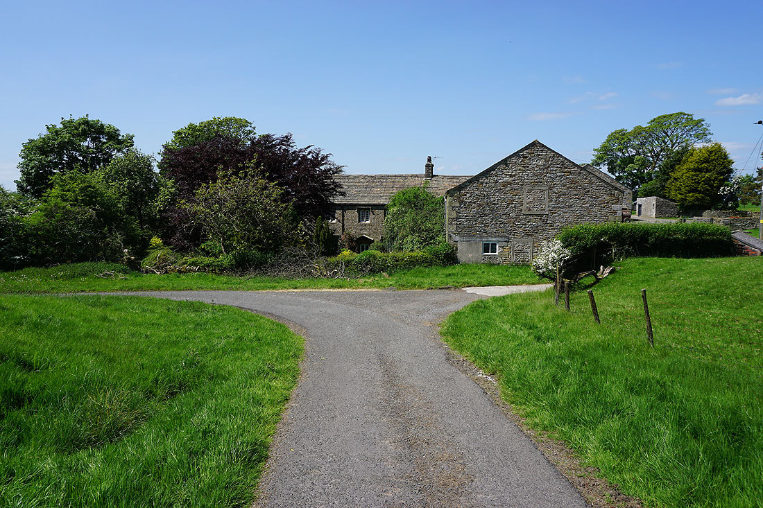
Passing Dye House Farm, and I'm going to take a footpath up the hillside on the right
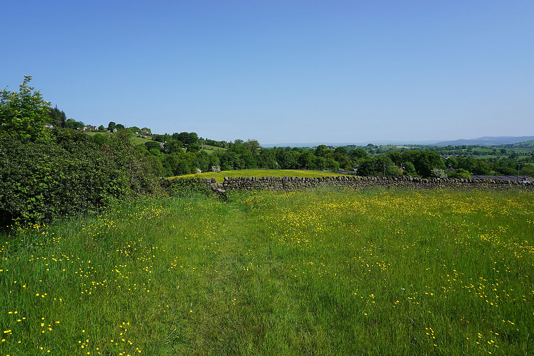
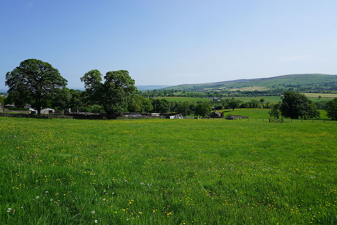
Looking across to Thornton Moor, Earby, Bleara Moor, Salterforth, Kelbrook Moor, and Kelbrook from above Dye House Farm
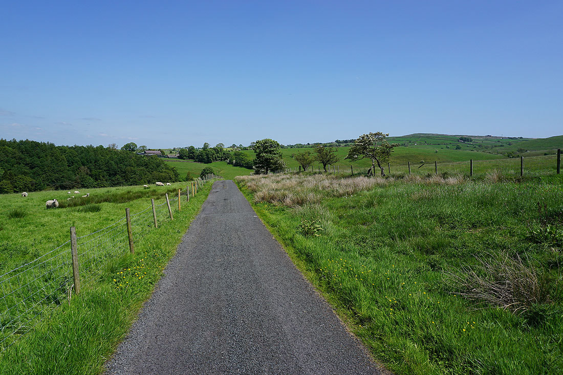
Having walked through Letcliffe Park, and crossed Manchester Road, walking up Lane Bottom towards Moor Side Farm
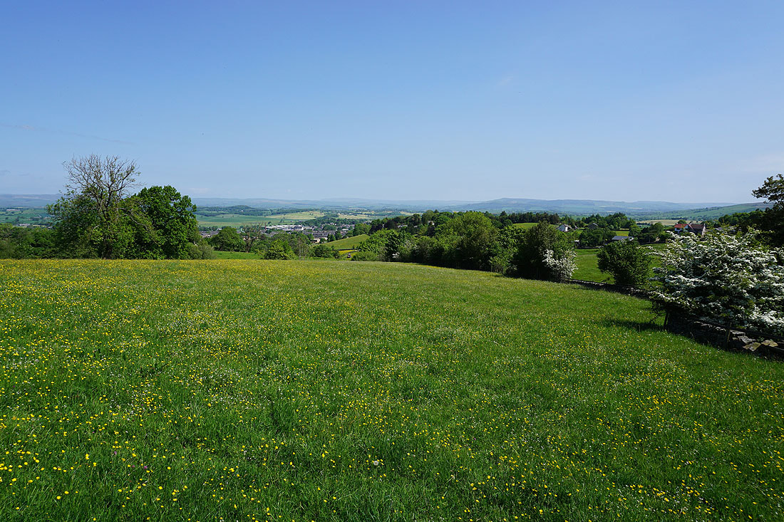
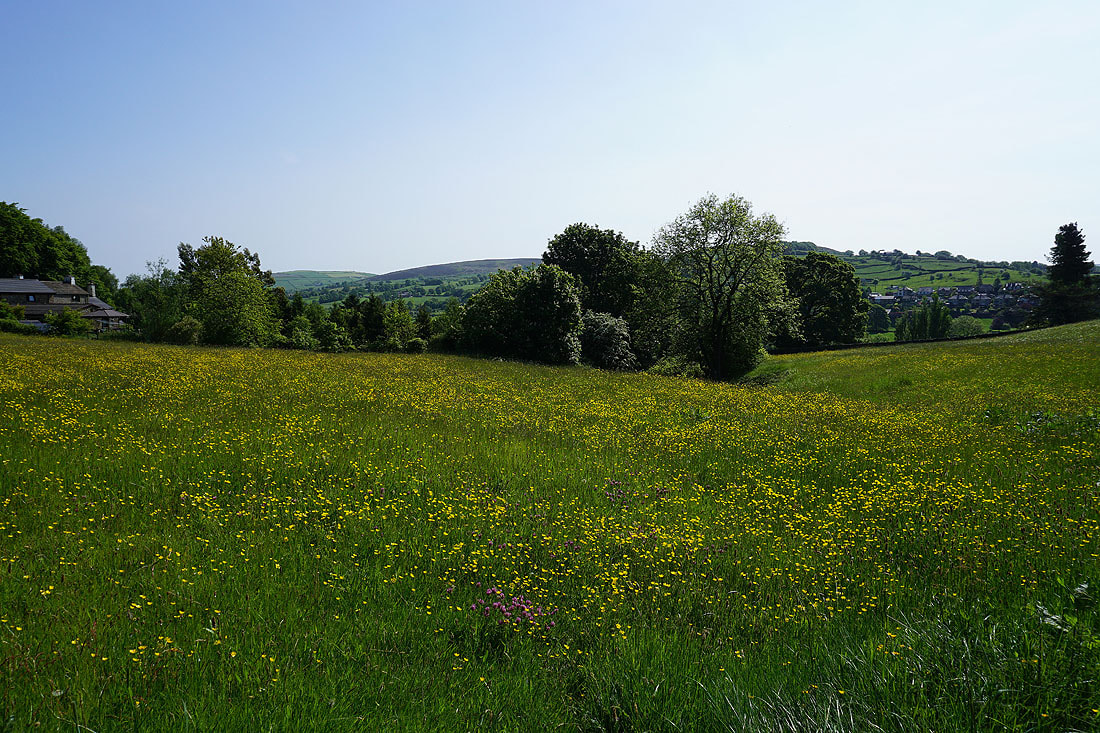
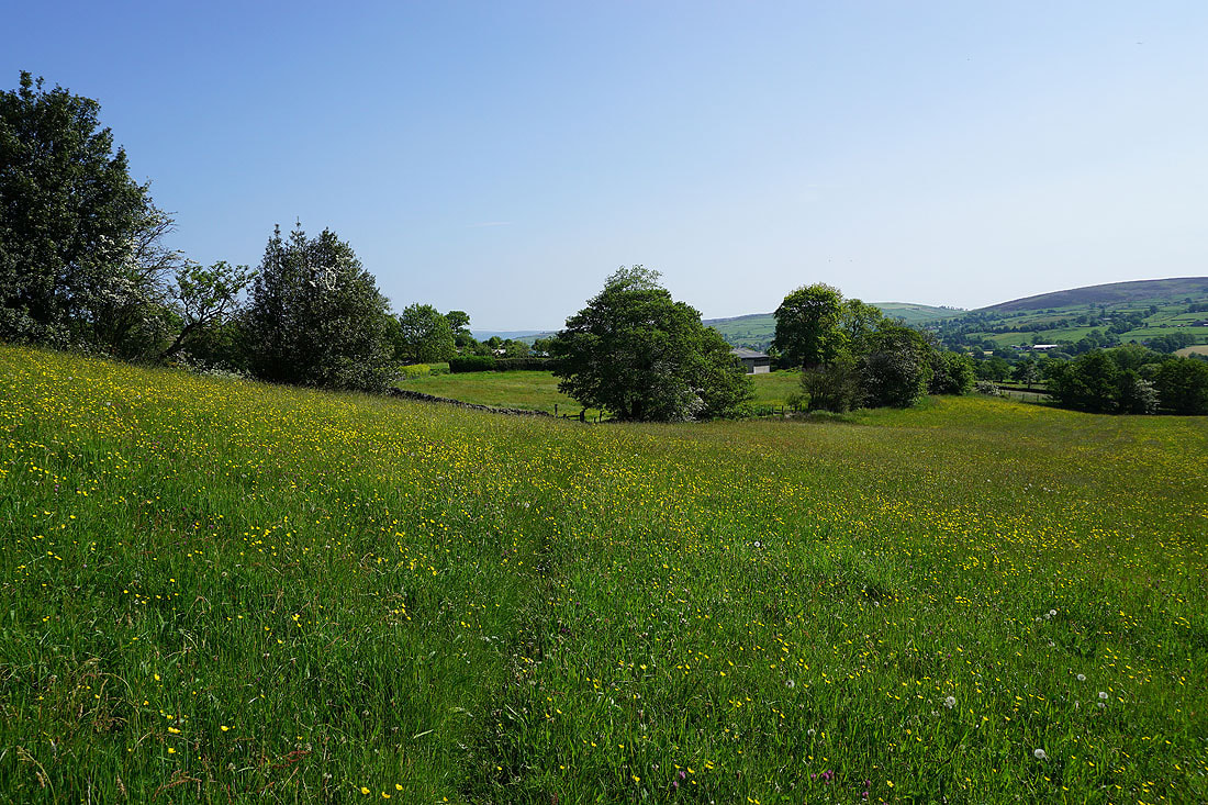
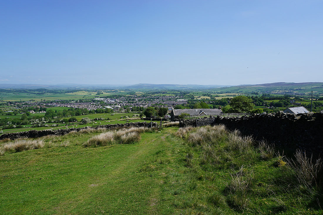
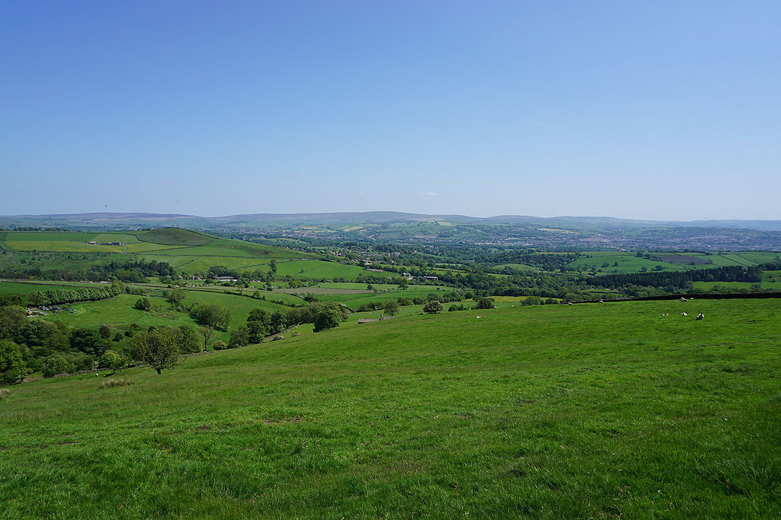
Following paths through fields towards Folly Lane, I get views across the top of Barnoldswick to the moors around Malhamdale and Wharfedale..

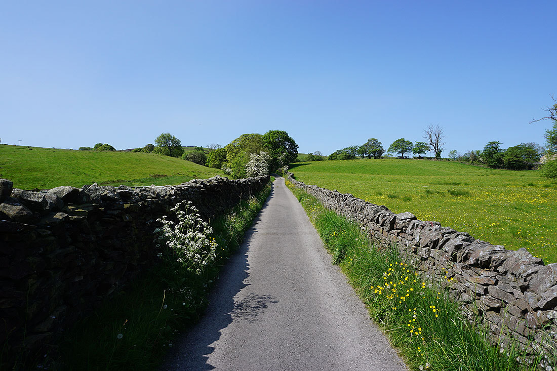
Walking up Folly Lane
Leaving Folly Lane for the Pendle Way up Weets Hill, I get my first view of the day of Ingleborough in the distance on the other side of the Ribble Valley
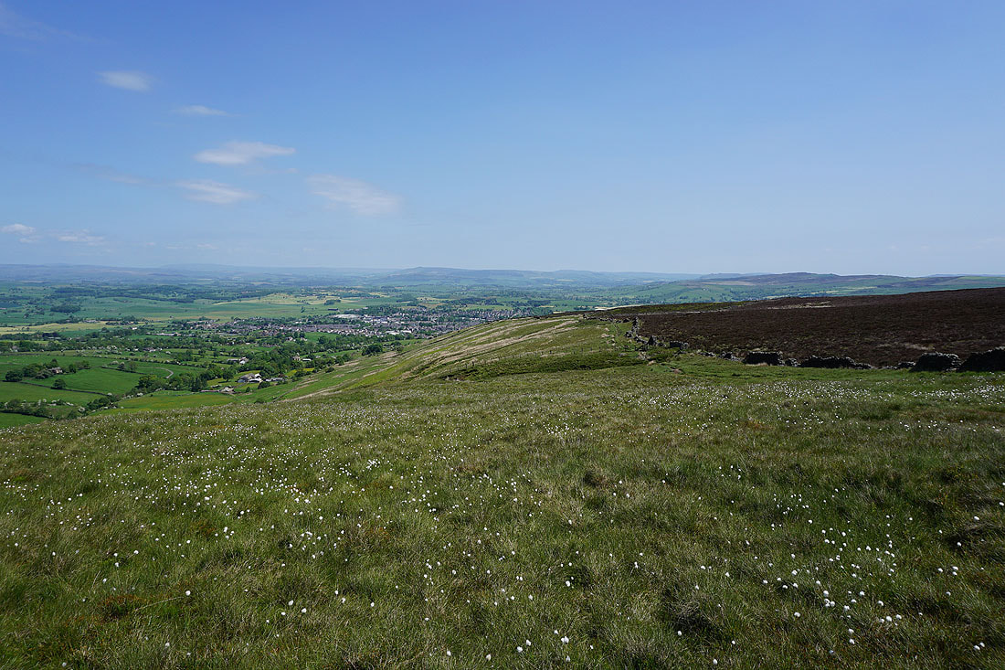
Looking back down on Barnoldswick

Following the Pendle Way up Weets Hill

I can't help pausing to take in the view to my right
At the eastern end of the top of Weets Hill. The town of Barnoldswick below with Great Whernside, Barden Moor and Pinhaw Beacon in the distance.
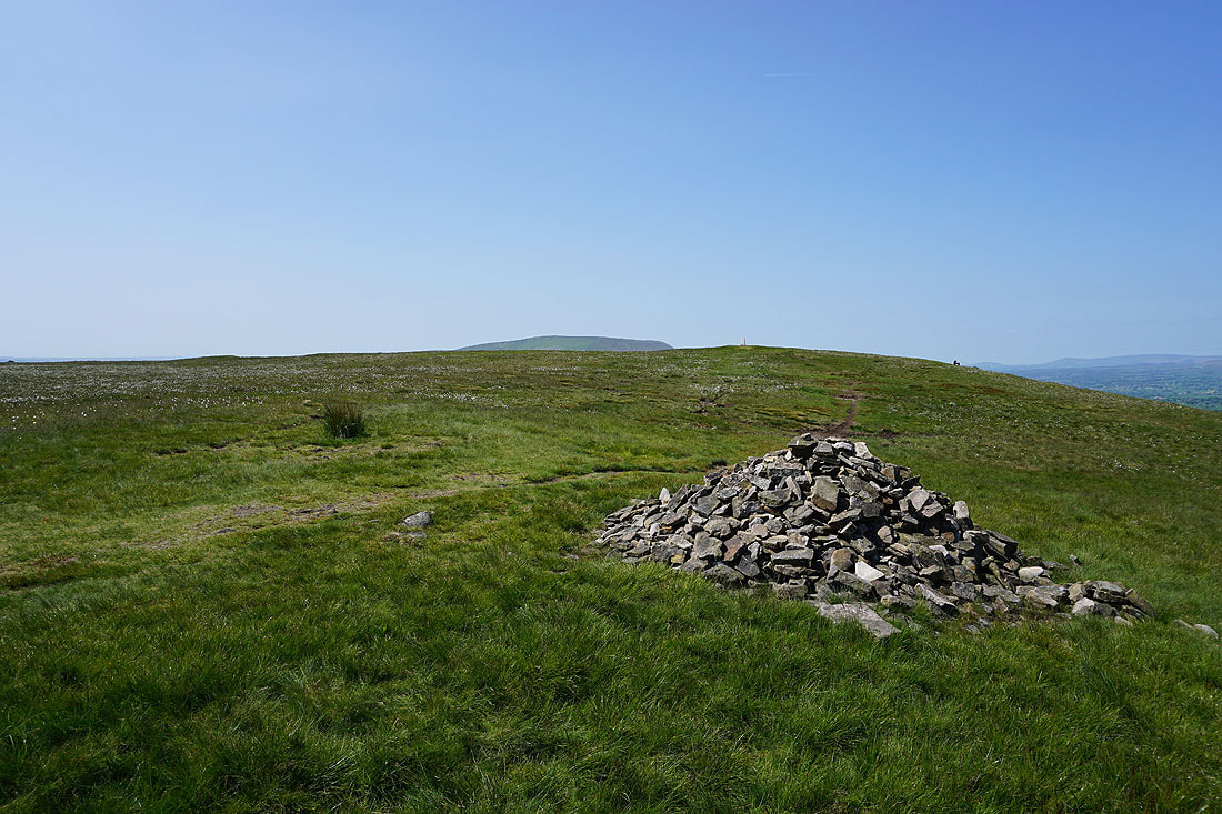
The top of Pendle Hill from the eastern end of the summit
Looking north across the Ribble Valley to Ingleborough, Penyghent, and the moors above Malhamdale
Pendle Hill from the trig point on Weets Hill
Great Whernside and Barden Moor to the northeast

The top of Weets Hill is covered in cotton grass..

Boulsworth Hill and Hoof Stones Height in the distance

Heading for Weets House Farm
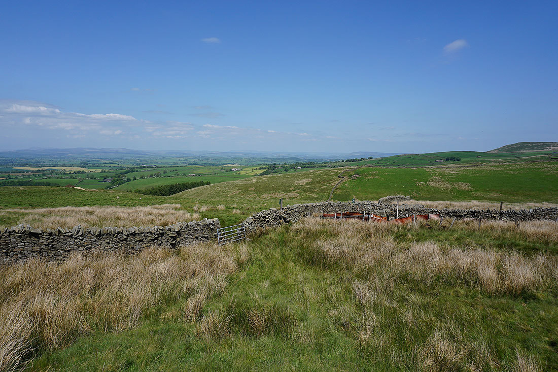
Looking across the Ribble Valley to the Forest of Bowland
Heading north on the Pennine Bridleway...
Having crossed the A682 I walk west along Stocks Lane
Passing Higher Laithe with Pendle Hill in the distance on the left
Approaching Middop Hall
Heading west up Whytha Road
To my right I have a view across the Ribble Valley to the Yorkshire Dales
Looking back along Whytha Road with Weets Hill on the right

Passing Whytha Farm
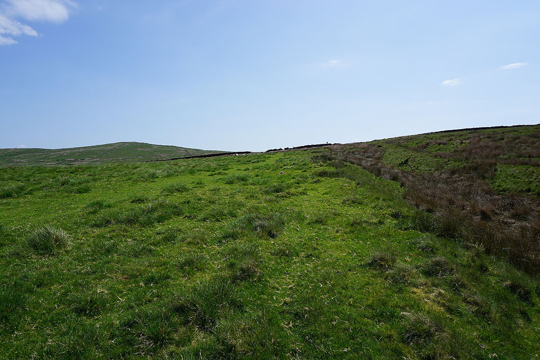
Heading up onto Rimington Moor
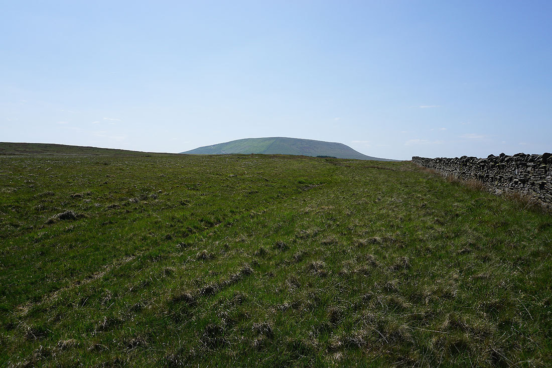
Pendle Hill from Rimington Moor
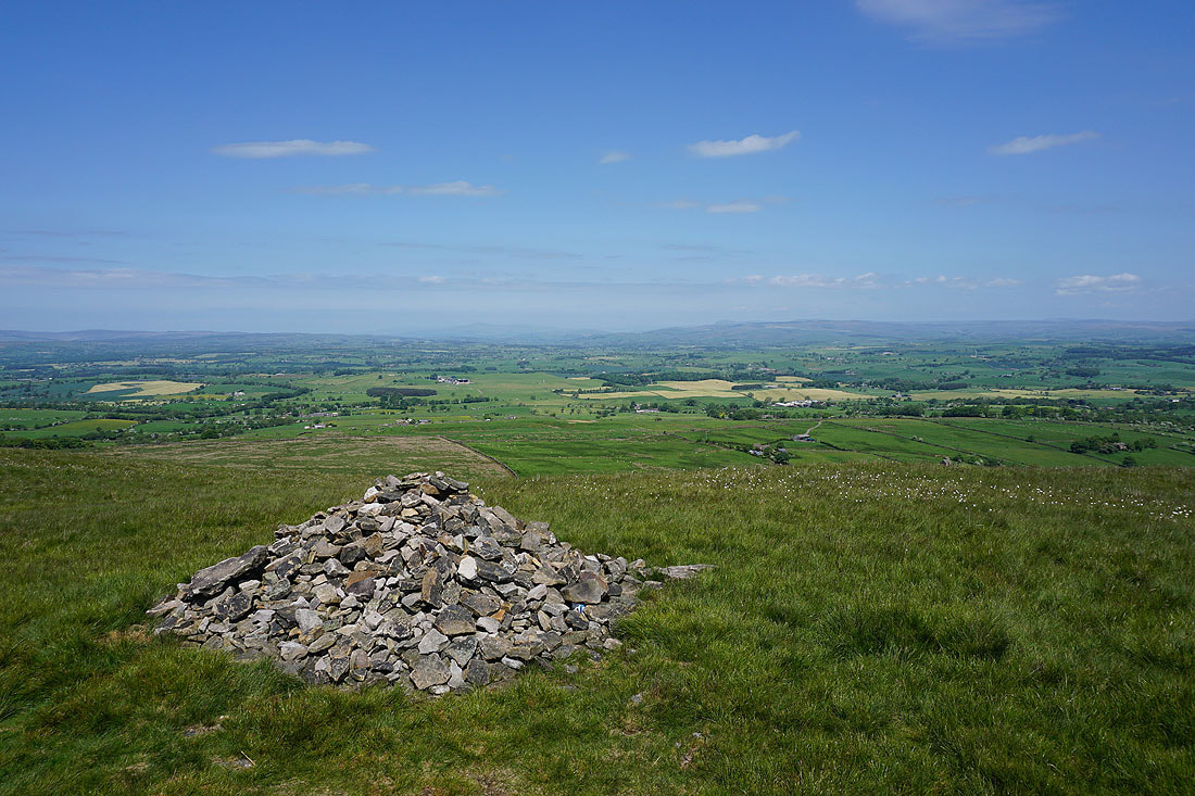
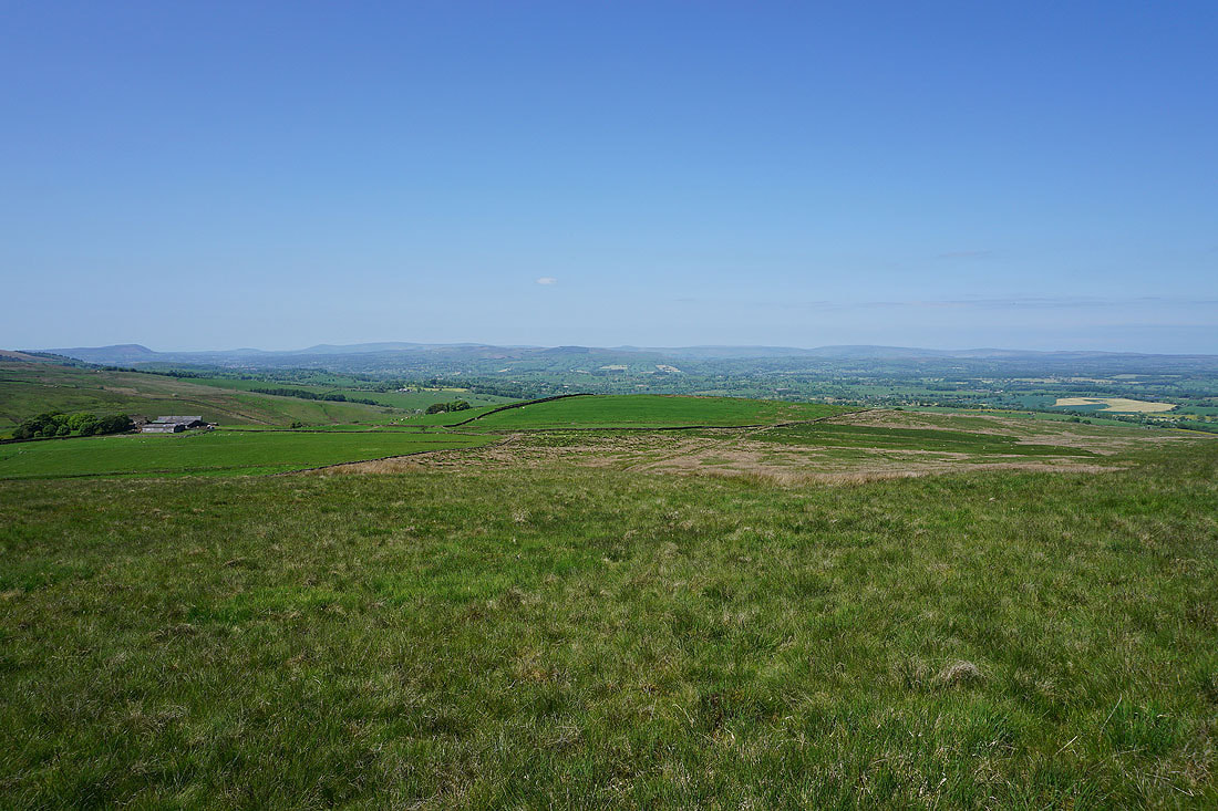
The moors above Settle and Malham, and around Wharfedale, in the distance from the eastern end of Rimington Moor
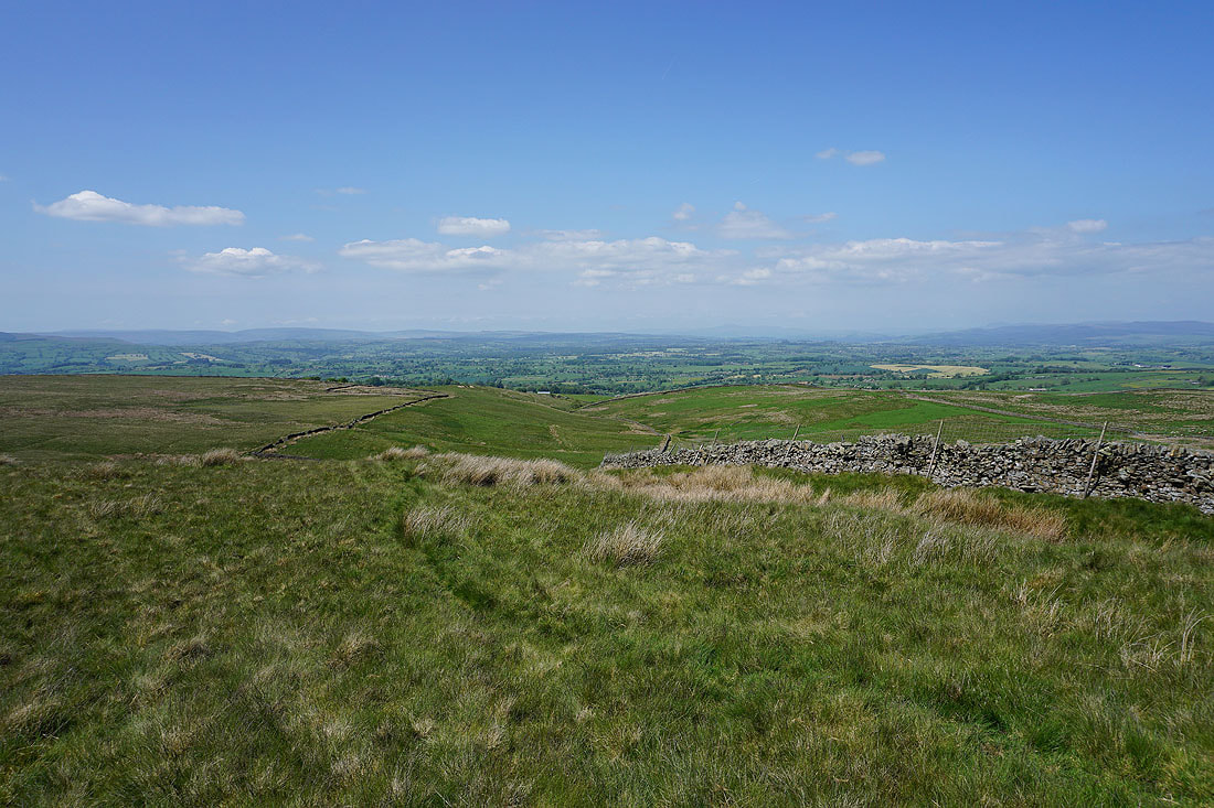
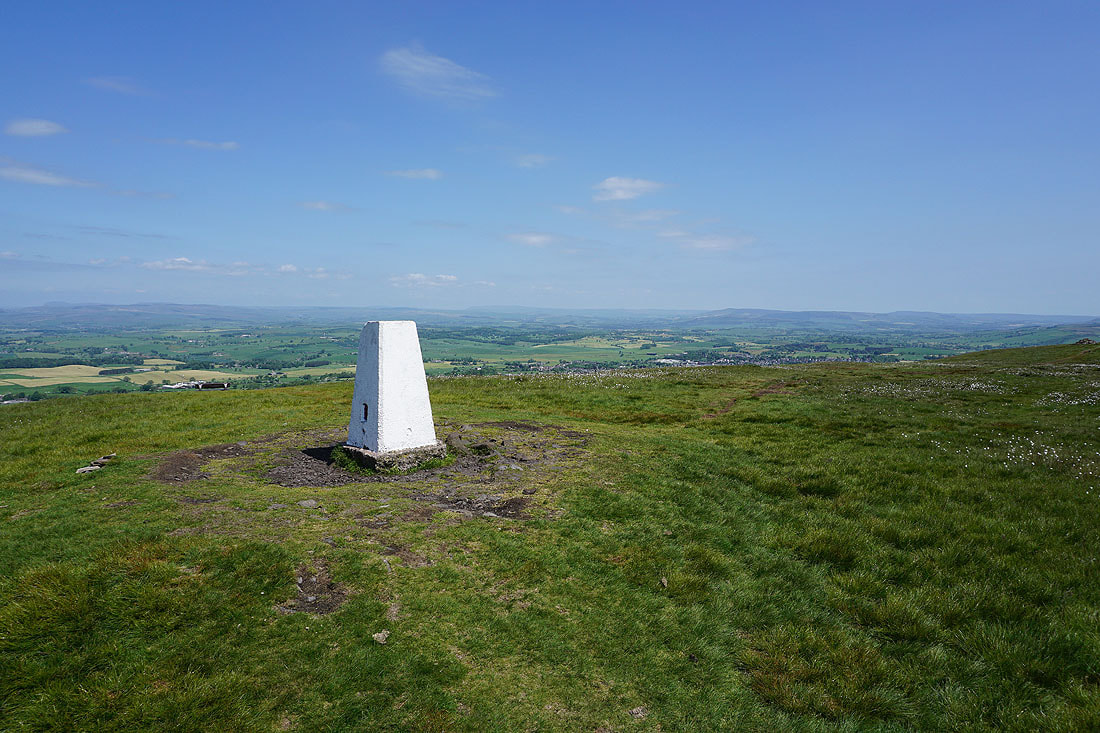
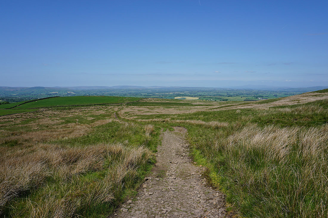
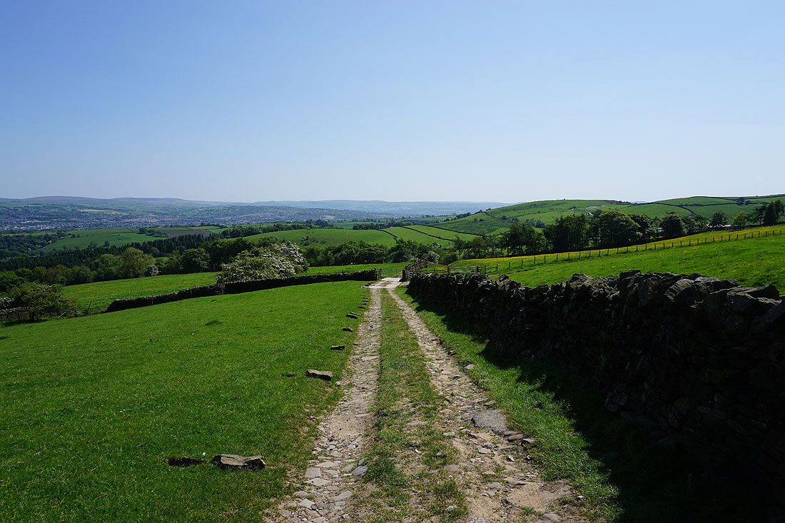
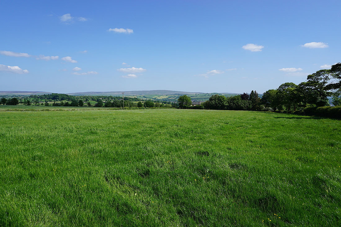
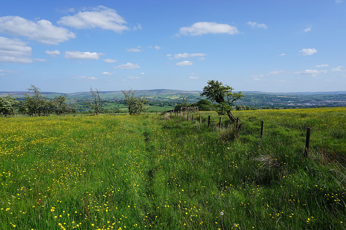
The view across the Ribble Valley to the Forest of Bowland, Ingleborough and Penyghent as I head south up onto Wheathead Height

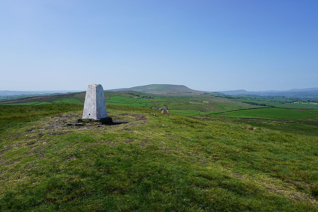
Pendle Hill and the ruins of Firber House from Wheathead Height
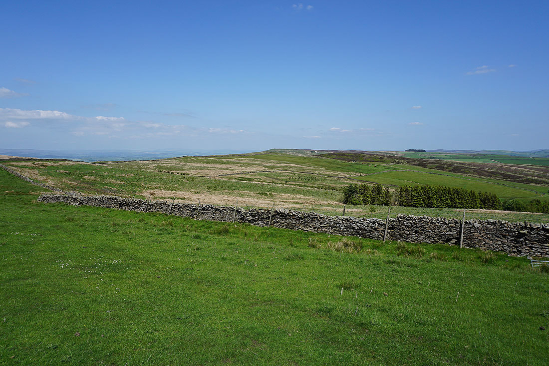
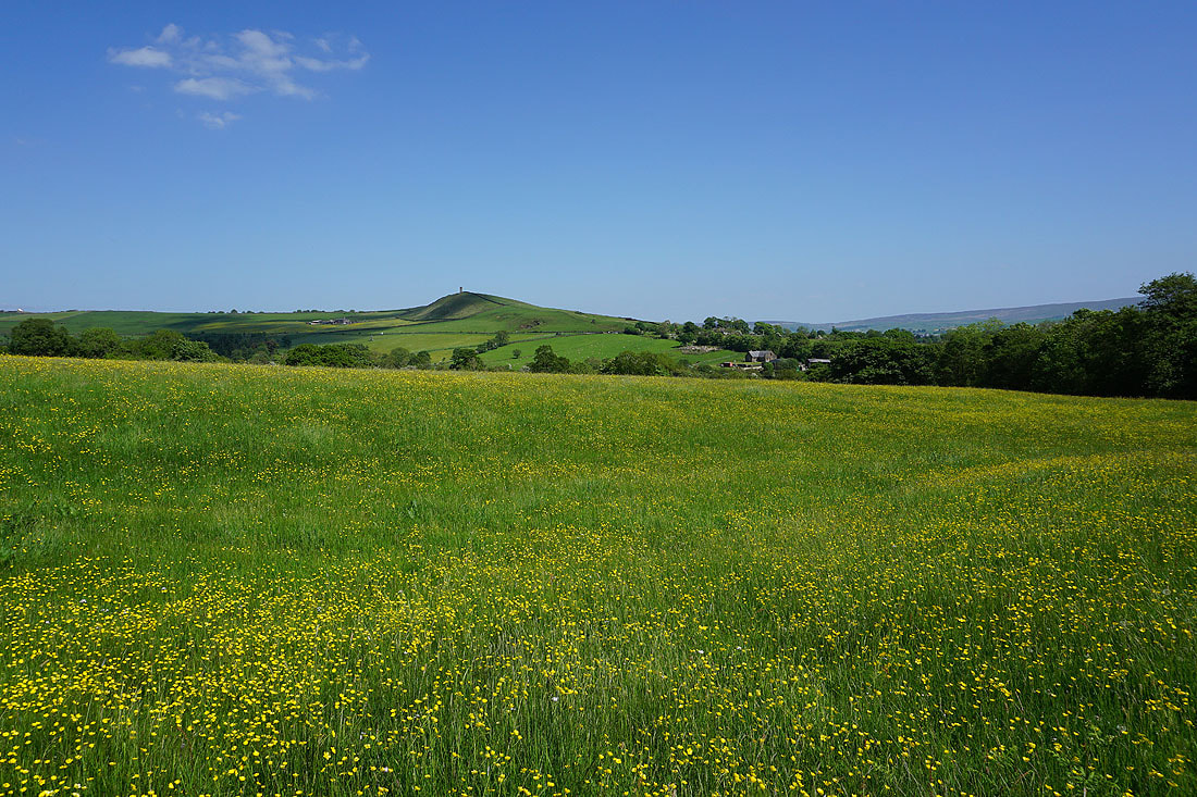
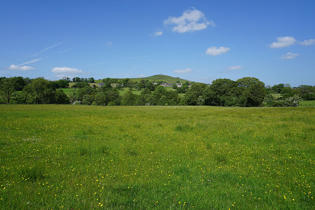
Weets Hill to the northeast
Onto the track from Wheathead Height down to Wheathead Lane
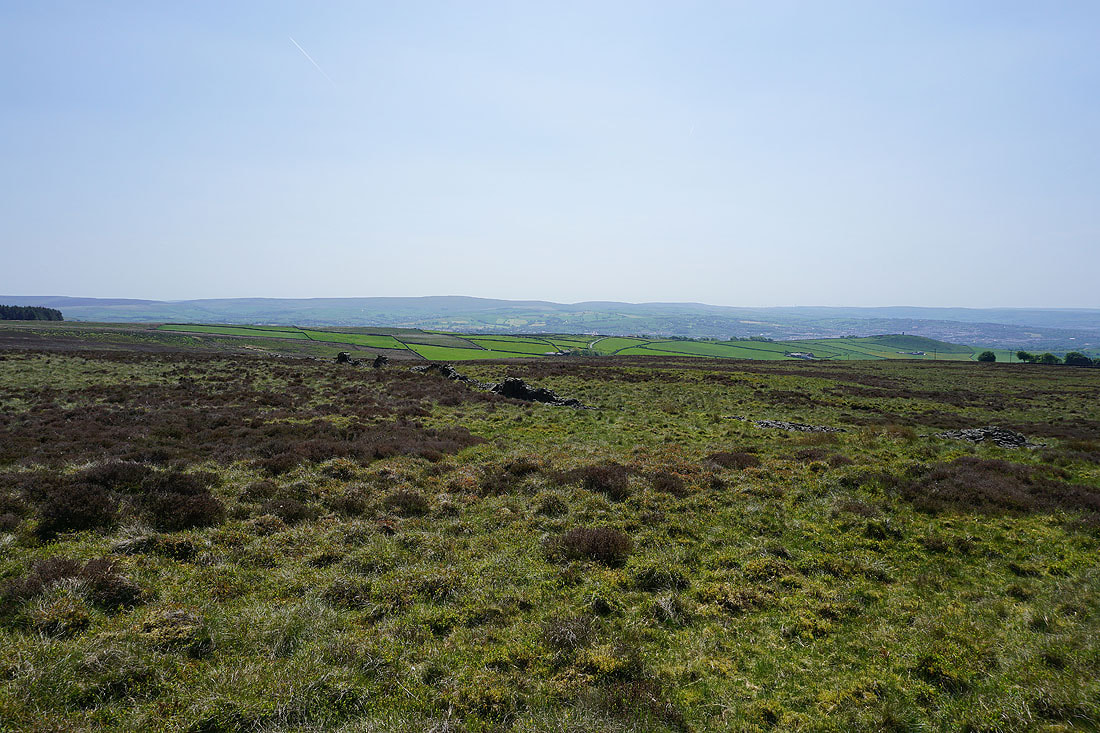
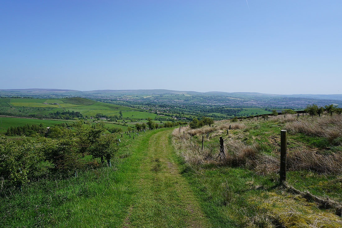
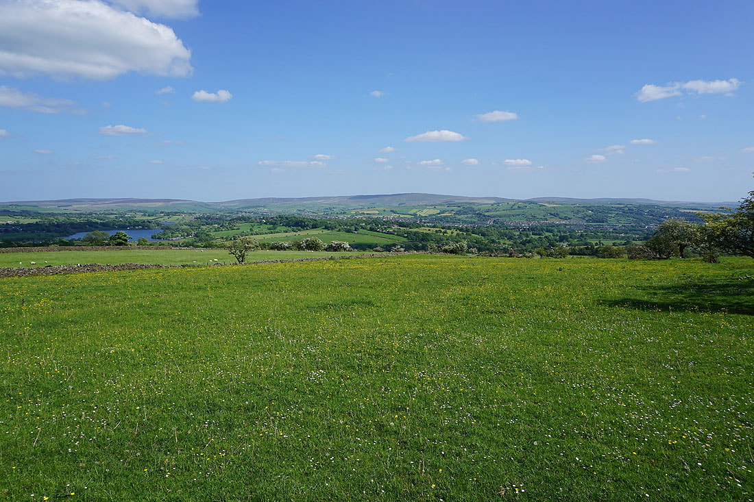
To my left I have a fantastic view of the countryside around Blacko, Barrowford, Colne and Nelson, and across to Boulsworth Hill
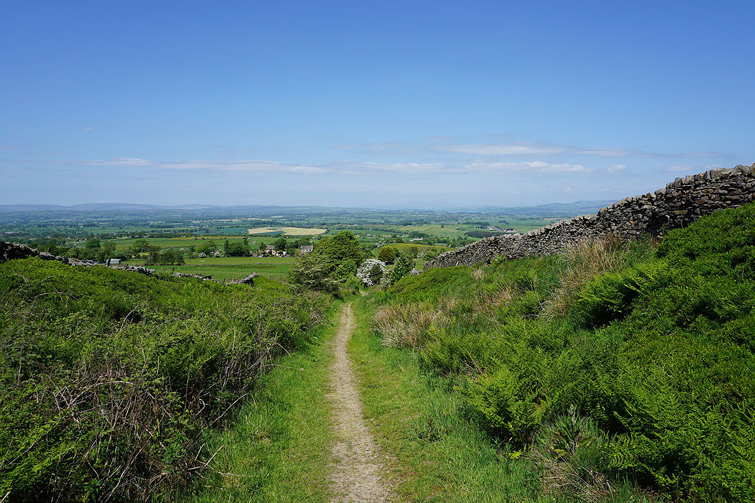
Heading down to Wheathead Lane

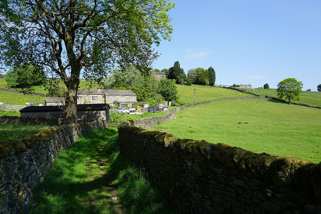
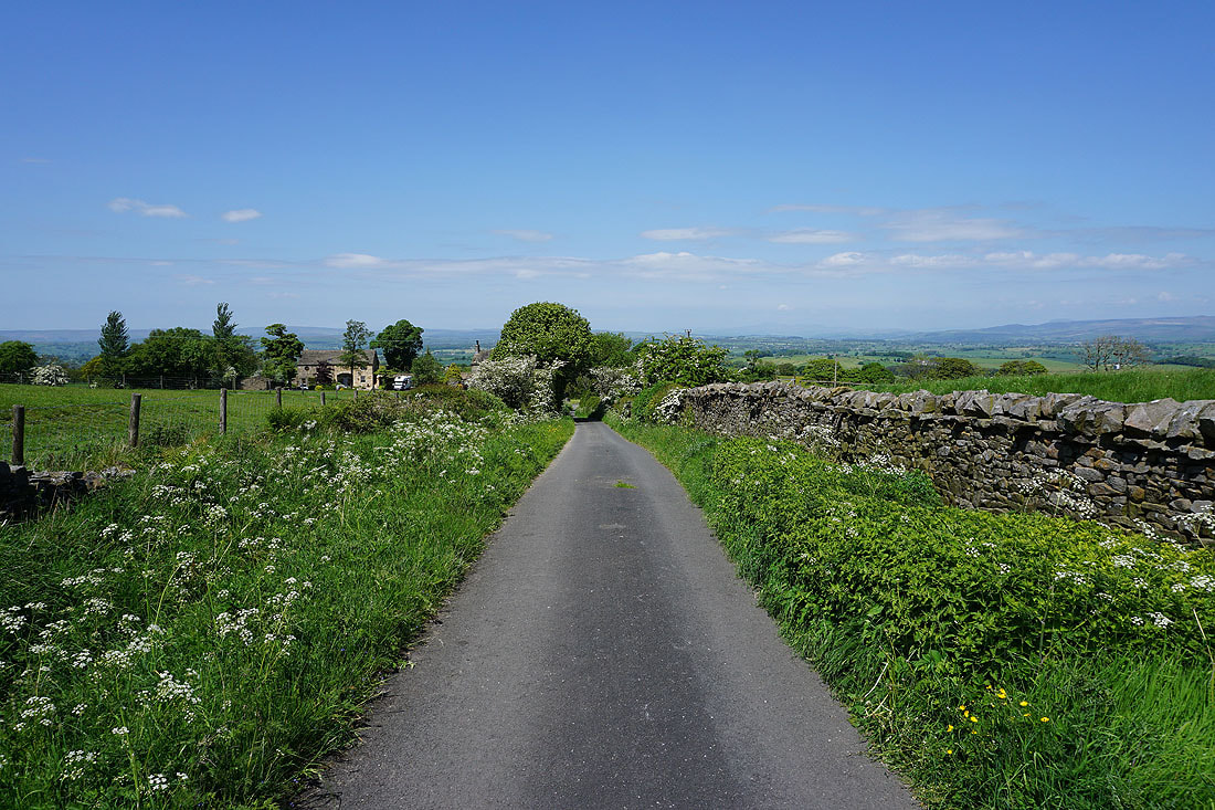
On Wheathead Lane at Lanefield
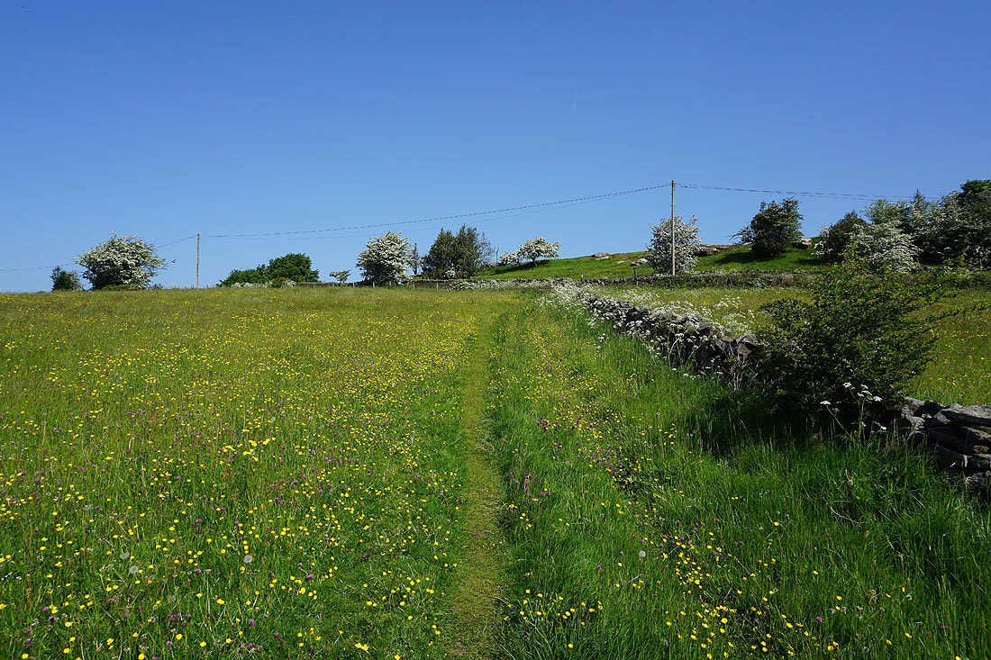
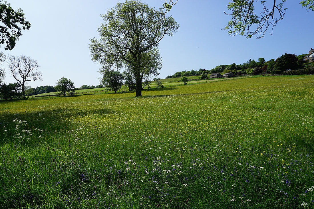
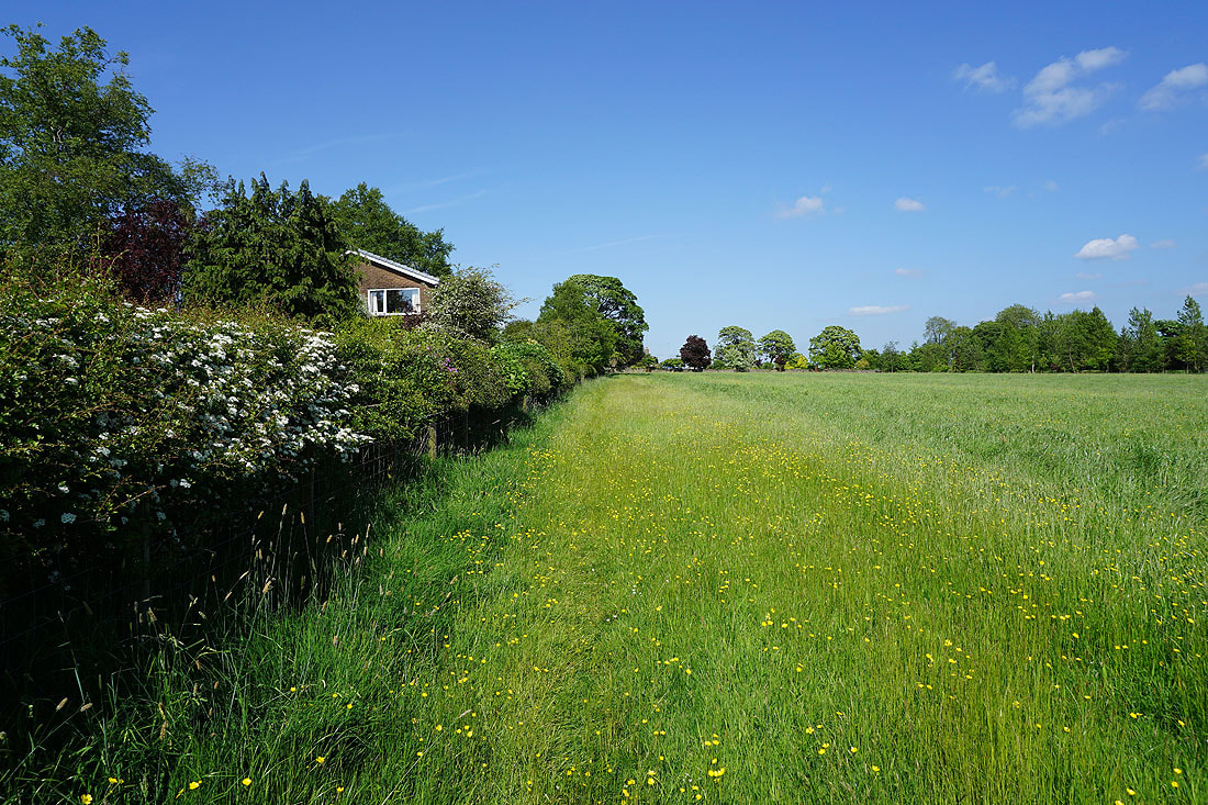
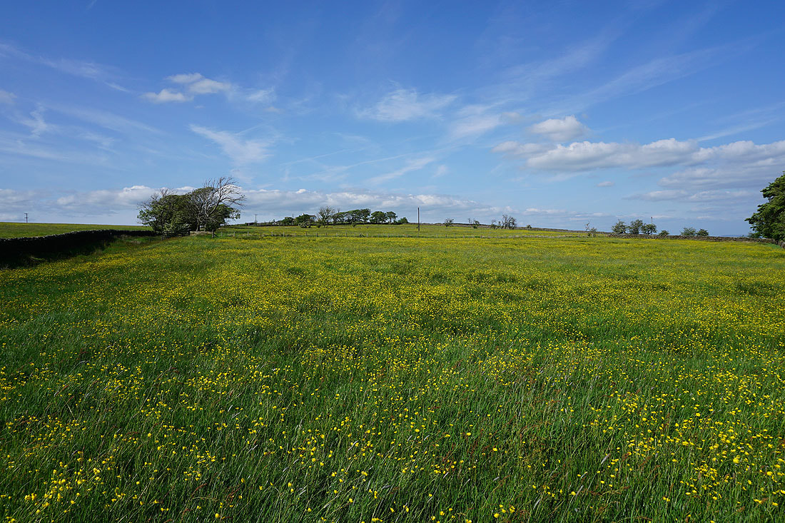
I couldn't resist taking a photo of this field of buttercups next to Wheathead Lane

I leave Wheathead Lane for the Pendle Way to Blacko Bar Road, then keep on the Pendle Way from Blacko Bar Road down to Water Meetings
Blacko Hill to my left
Heading down to Water Meetings
Pendle Water from Water Meetings
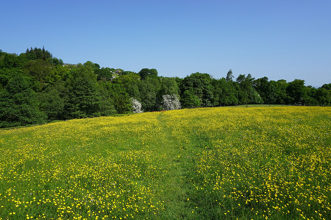
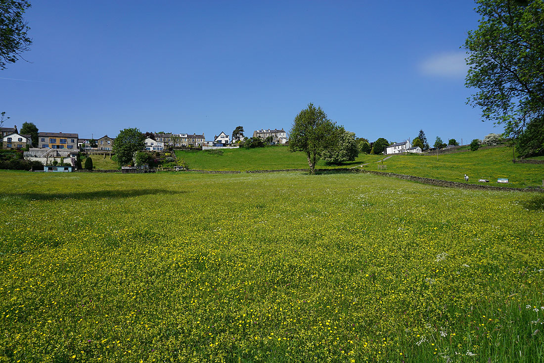
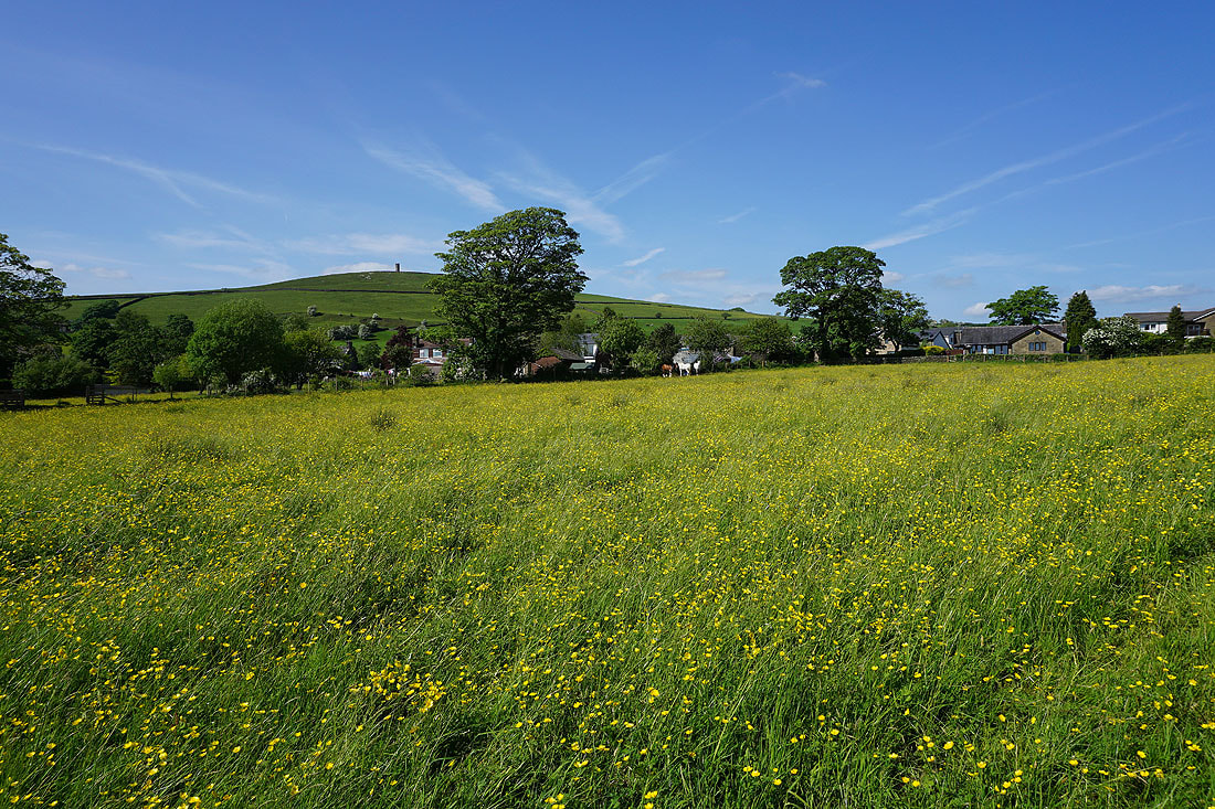
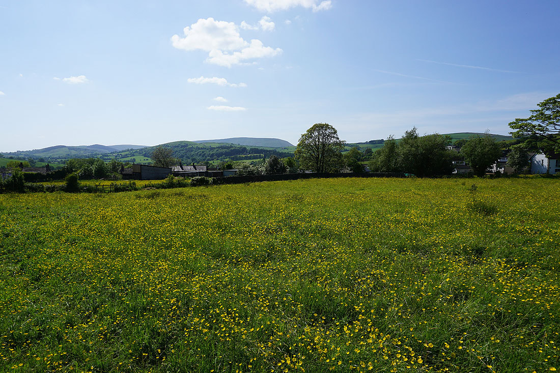
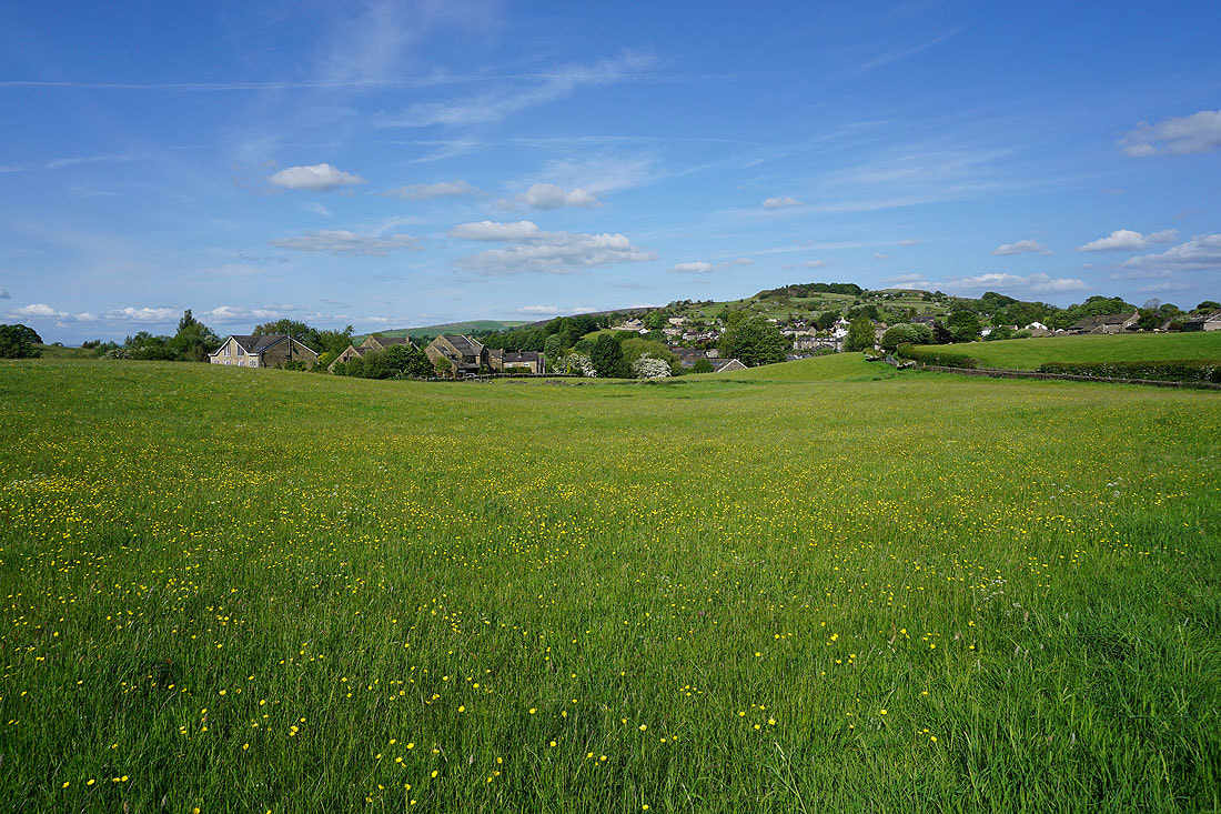
Fields full of buttercups as I make my way through Blacko...
After crossing Beverley Road, on the footpath to Burnt House Farm
Boulsworth Hill in the distance from Burnt House Farm
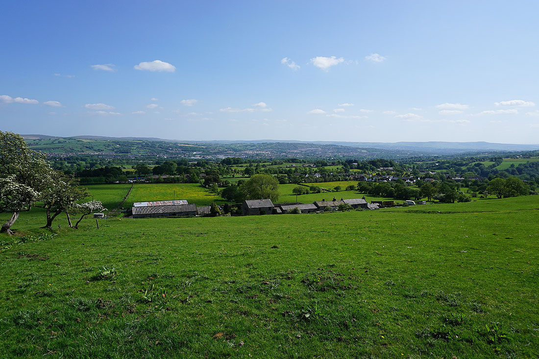
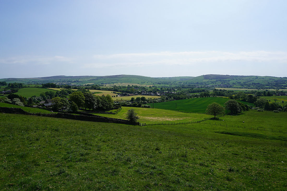
Looking down on Blacko Hill Side Farm and Blacko as I head up onto Blacko Hill
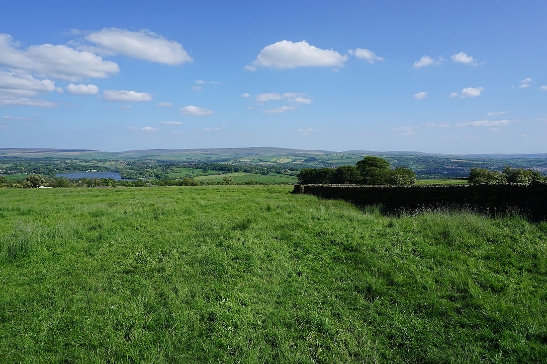
and across to Foulridge Lower Reservoir, Ickornshaw Moor, and Boulsworth Hill

On Blacko Hill
Buttercup filled fields on Blacko Hill
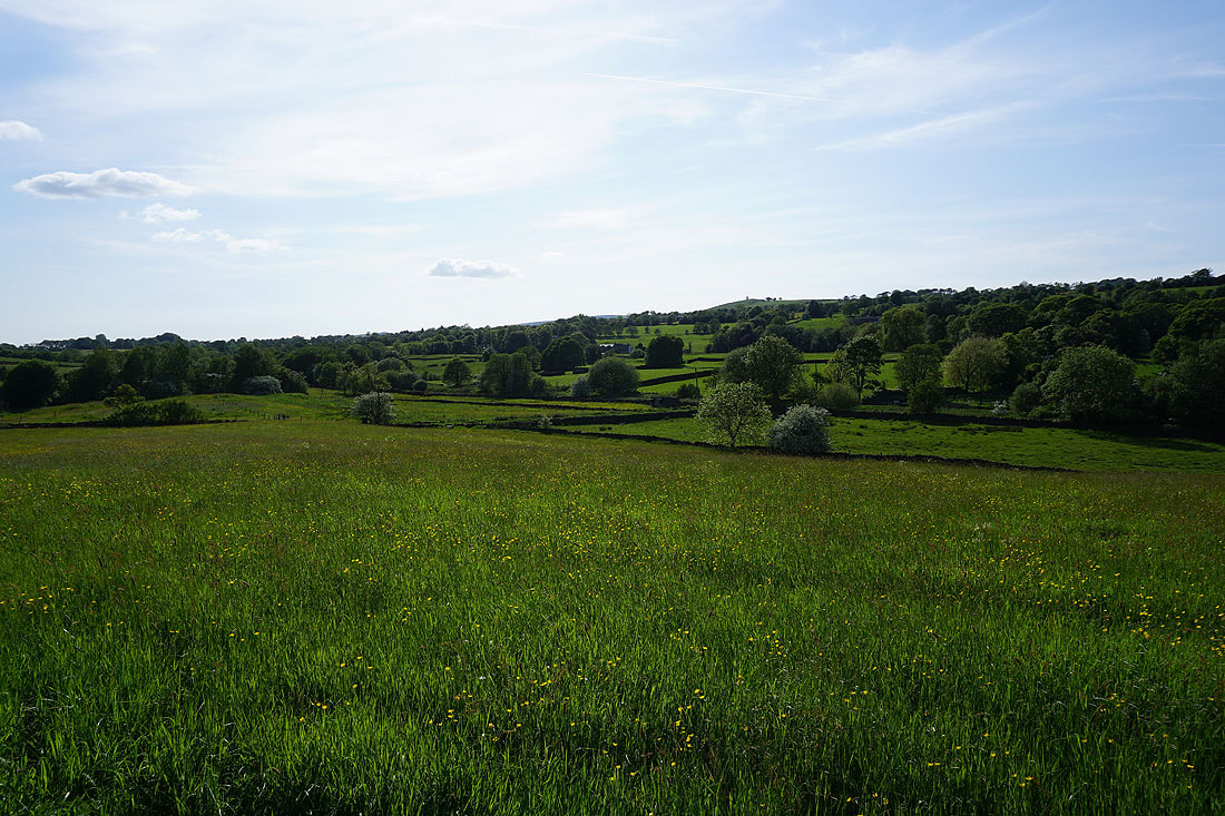
Ickornshaw Moor, Foulridge Lower Reservoir and Boulsworth Hill as I head down to Barnoldswick Road from Blacko Hill..

Boulsworth Hill ahead as I make my way down to Slipper Hill Reservoir
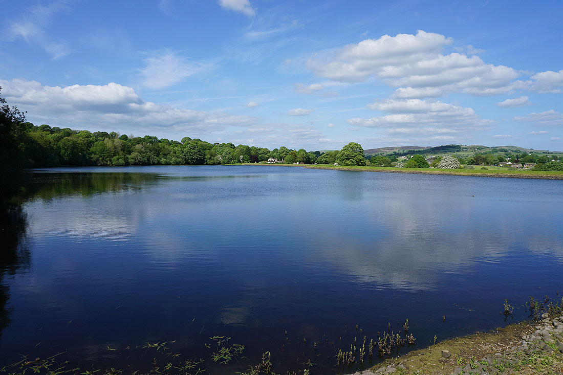
By Slipper Hill Reservoir
Kelbrook Moor and Noyna Hill in the distance from beside Slipper Hill Reservoir
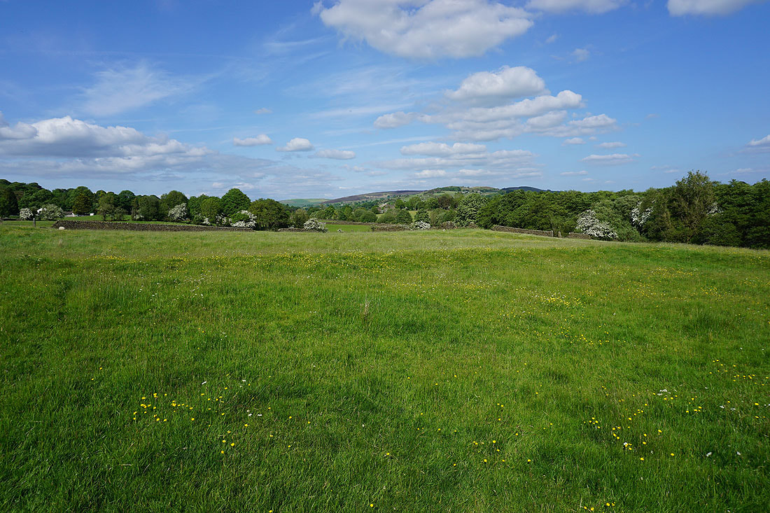
On the bridleway to Reedymoor Lane
Blacko Hill in the distance from Reedymoor Lane
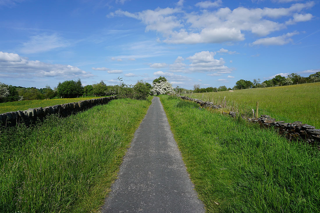
A lovely end to the afternoon as I arrive back in Foulridge