27th November 2022 - Great Whernside
Walk Details
Distance walked: 7.6 miles
Total ascent: 1887 ft
OS map used: OL30 - Yorkshire Dales, Northern & Central areas
Time taken: 5.5 hrs
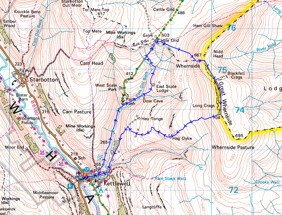
Route description: Kettlewell-Cam Gill Road-Park Rash-Park Gill-Caseker Gill-East Scale Lodge-Kettlewell to Coverdale road-Hunters Sleets-Great Whernside-Hag Dyke Hostel-Scabbate Gate-Kettlewell
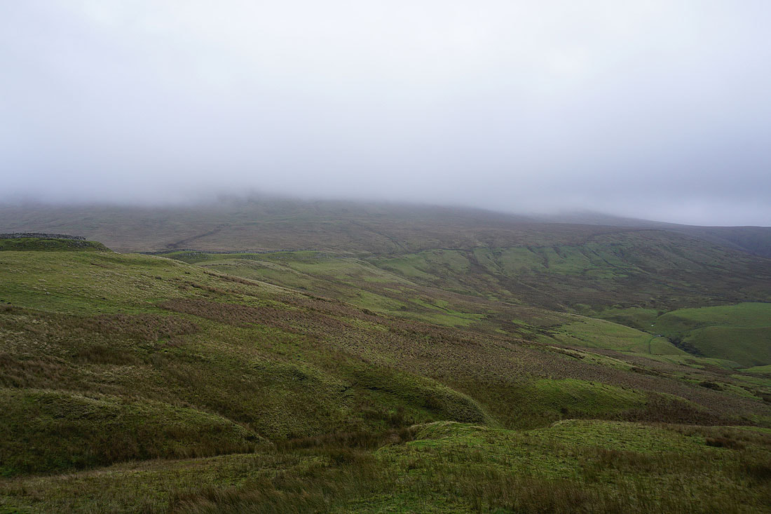
This was the walk that I'd planned on doing when I last visited Kettlewell two weeks ago. On that occasion I decided to do a different walk because the top of Great Whernside was covered in cloud, but with a forecast of improving weather and a cloud free summit I thought that I'd give it another go today. When I arrived in Kettlewell there were dull and overcast skies overhead with the cloud sitting on the tops of the fells, so I set off with my fingers crossed that it would brighten up, and there were a few hours for it to do so as I was going to do the low level part of the route first. That involved walking up Cam Gill Road from Kettlewell to Park Rash to take the footpath into Park Gill, so that I could visit the waterfalls in Caseker Gill. They were worth a look, set as they are in a steep sided limestone ravine. Unfortunately the improvement in the weather didn't look like it was going to happen as by the time I reached the top of the road at Hunters Sleets it looked no different than when I set off. I reached the summit of Great Whernside to find that I had no view. Better luck next time (hopefully).
From the car park in Kettlewell I walked through the village and onto Cam Gill Road, which I followed north until I reached the footpath on the right signposted for East Scale Lodge. I took this path and followed it above Park Gill Beck to a footbridge, which I crossed, and after a short detour into Caseker Gill I made my way up to East Scale Lodge, then across the hillside and ford over Park Gill Beck, and up to the Kettlewell to Coverdale road. After a walk up the road to its top across Hunters Sleets I took the footpath up onto Great Whernside to reach the trig point on the summit. To return to Kettlewell I took the footpath down to the Hag Dyke Hostel, and then the bridleway down to the lane of Scabbate Gate for a walk through the village back to the car park.
Route map
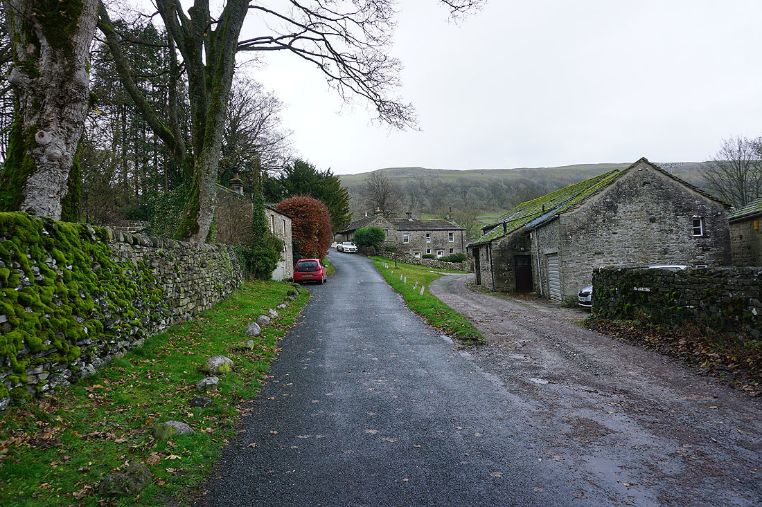
Making my way through Kettlewell to the bottom of Cam Gill Road
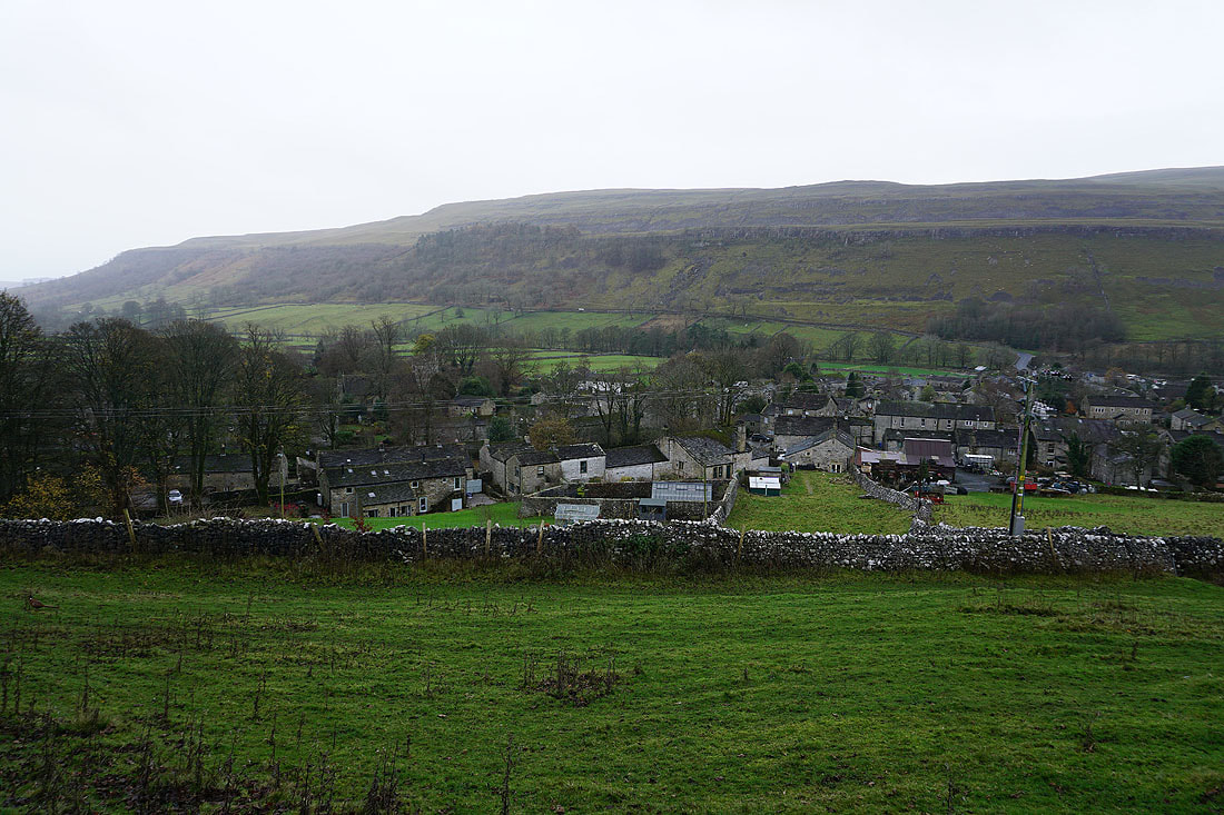
Kettlewell below from Cam Gill Road
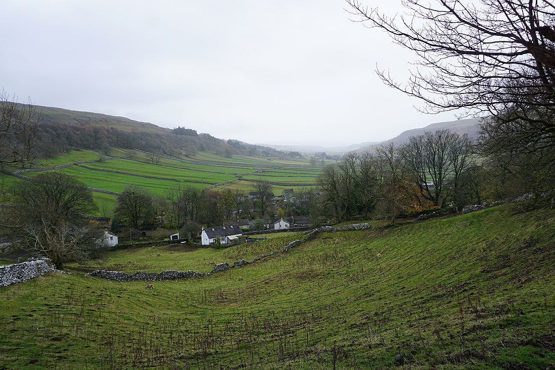
and looking down Wharfedale
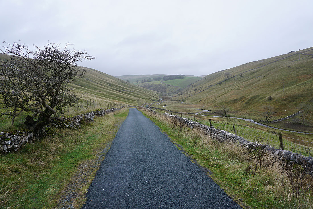
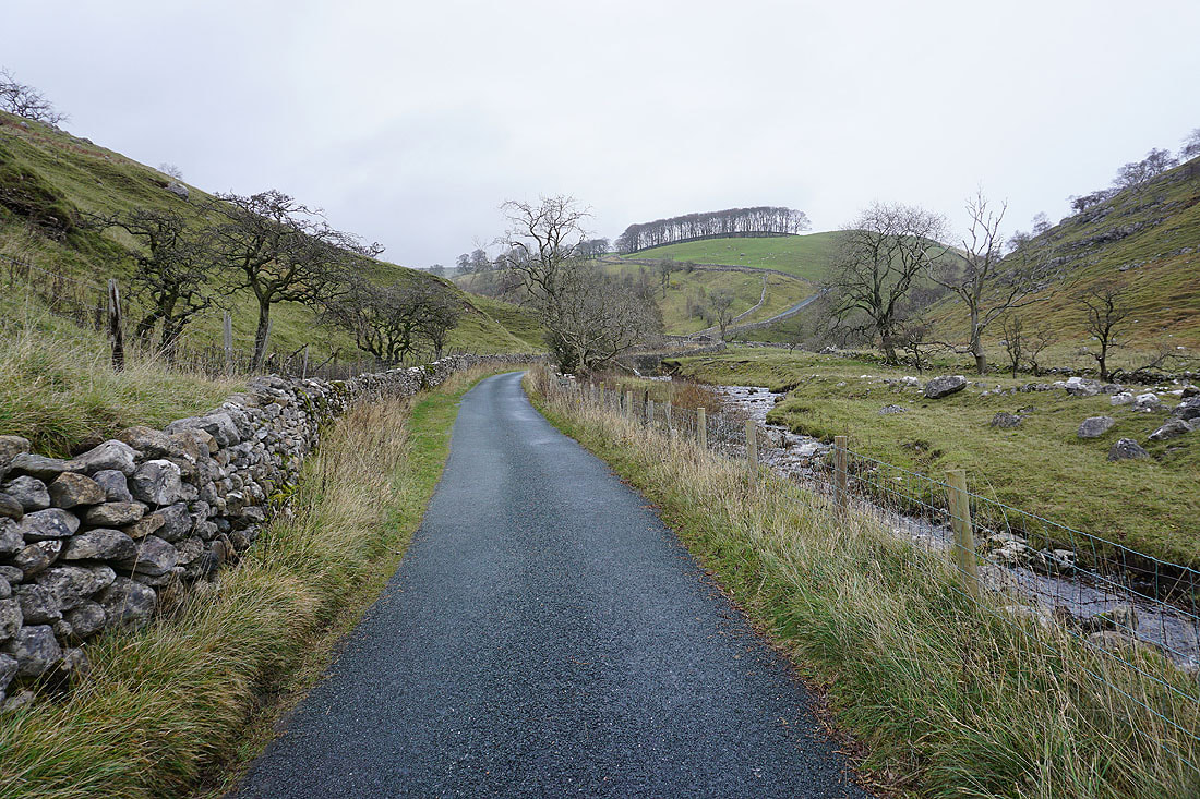
Walking north along Cam Gill Road to Park Rash
Cam Gill Beck
Just ahead the road starts to steepen. I'll leave it for a footpath on the right.
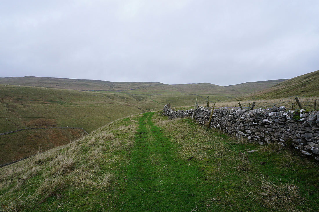
I take the footpath to East Scale Lodge
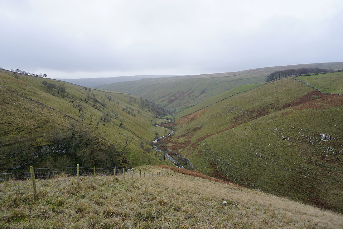
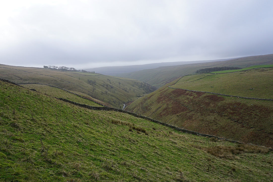
Looking down Cam Gill
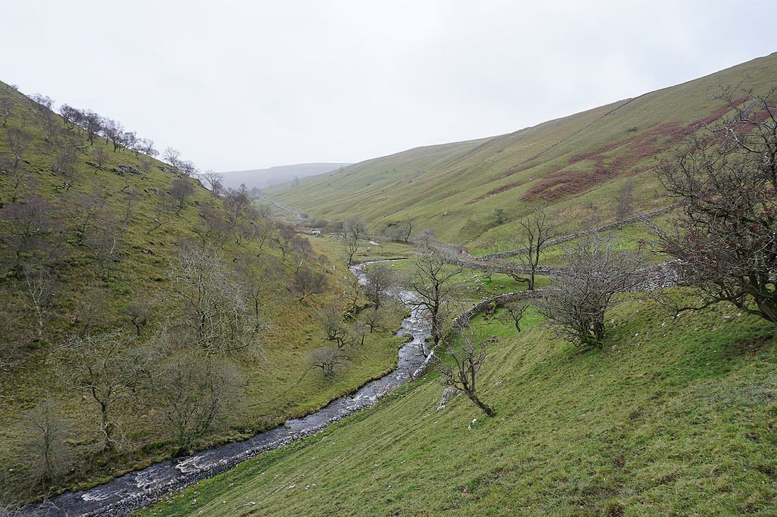
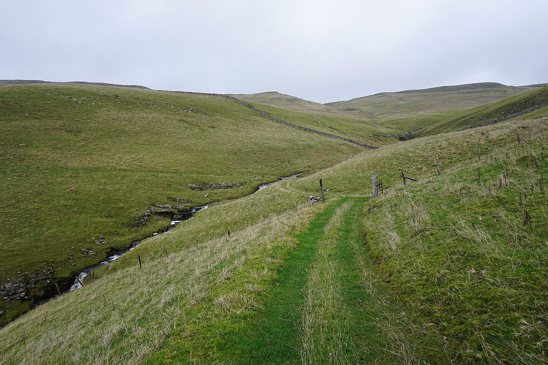
Following the footpath above Park Gill Beck
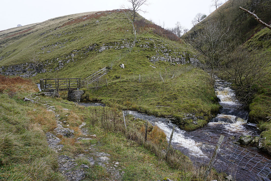
Across the footbridge and the footpath heads straight up the hillside beside the fence. Before I do, I'm going to make a short detour into Caseker Gill, which joins Park Gill from the right.
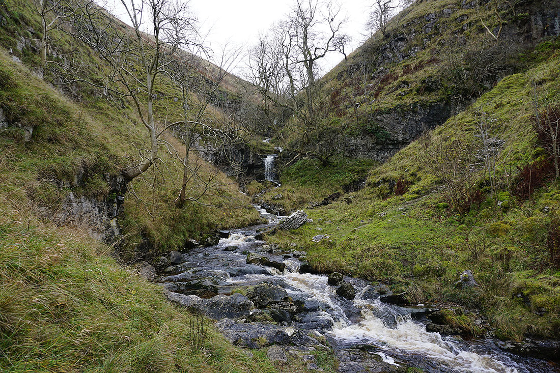
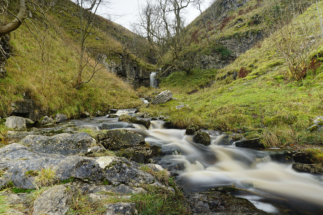
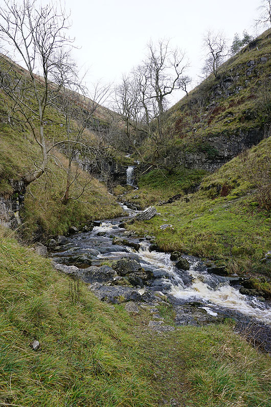
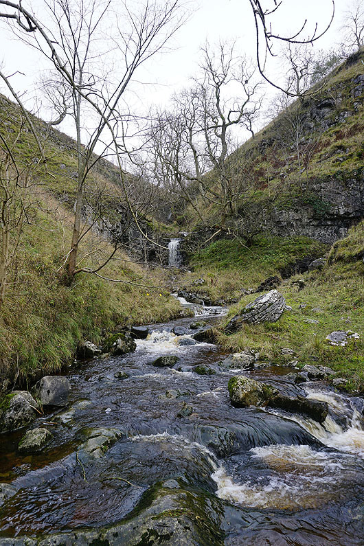
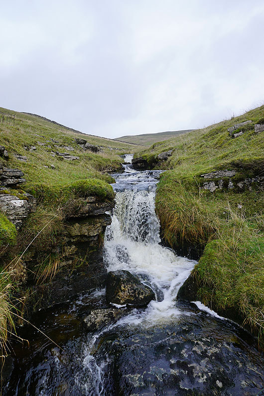
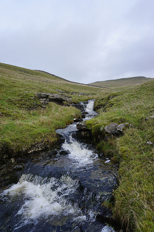
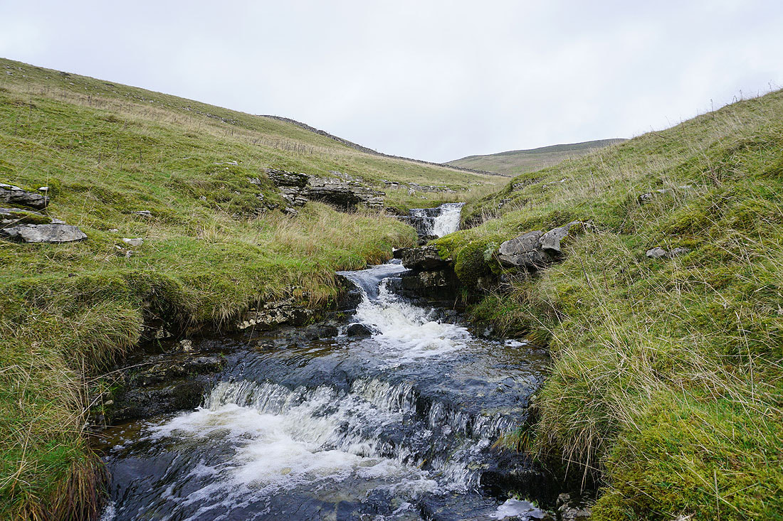
The detour is to see the waterfalls in Caseker Gill....
Back onto the footpath and looking up Park Gill as I make the steep climb up the hillside
Looking back and Caseker Gill and Park Gill join to become Cam Gill
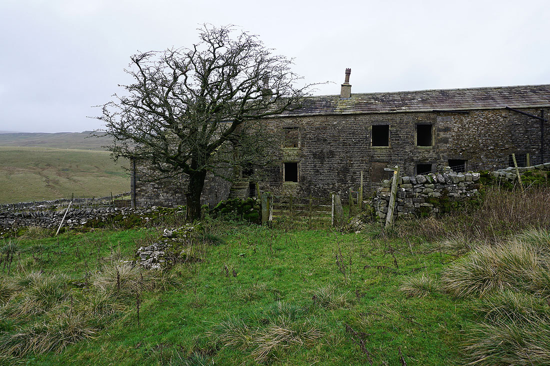
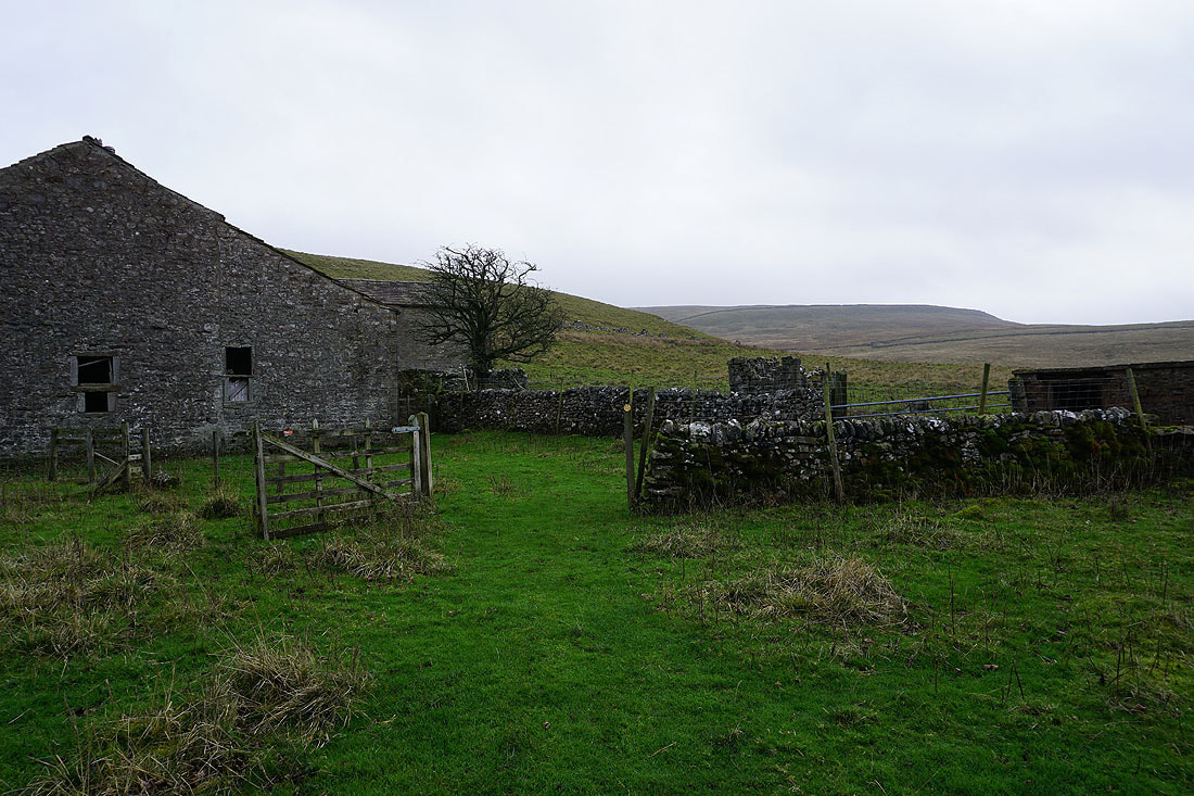
The gradient eases and I reach East Scale Lodge...
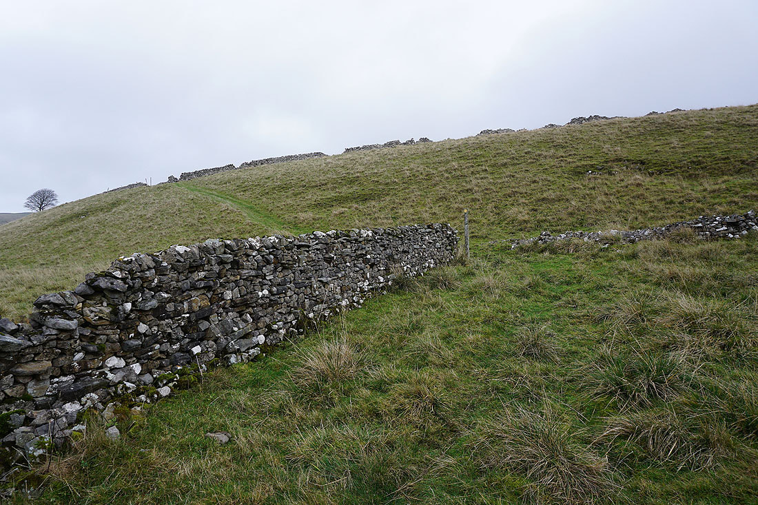
From East Scale Lodge the footpath crosses the hillside above Park Gill
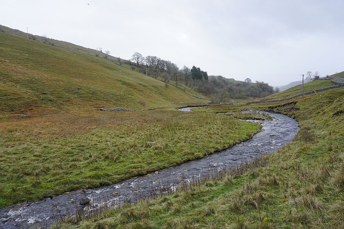
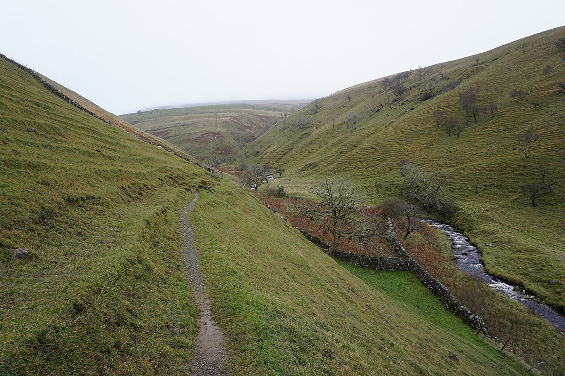
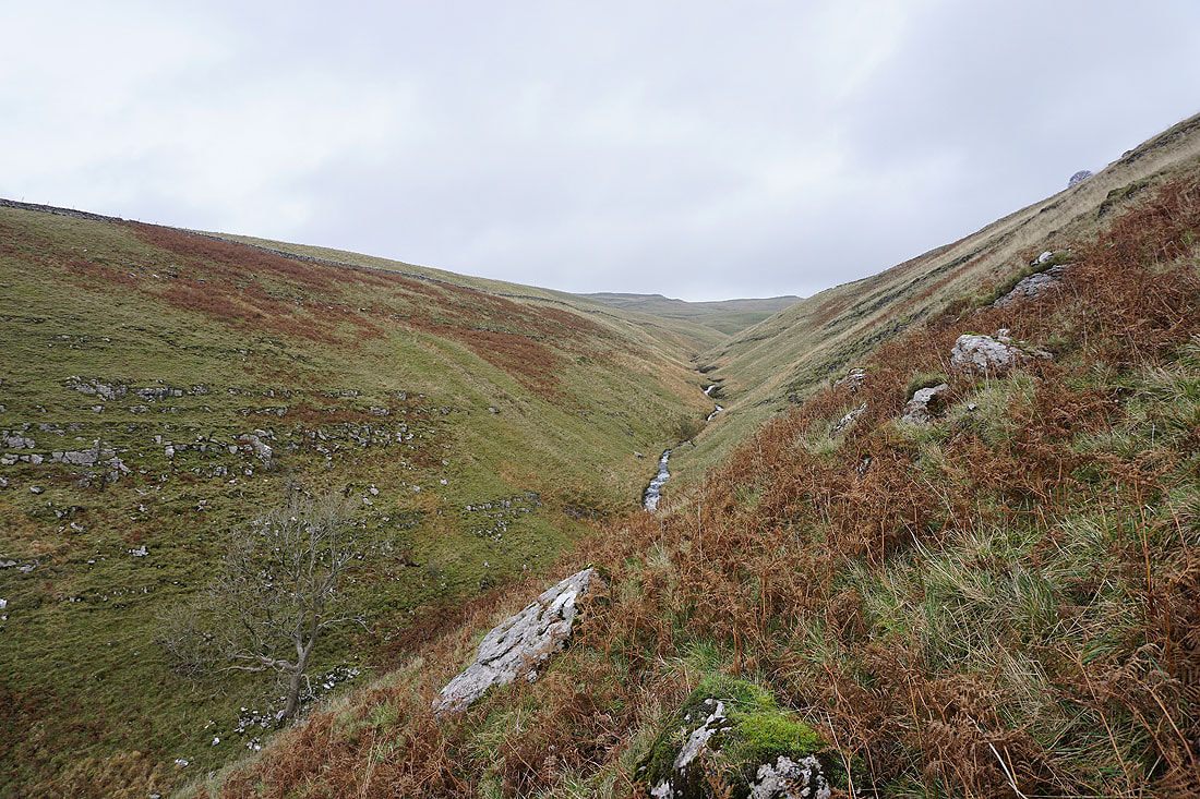
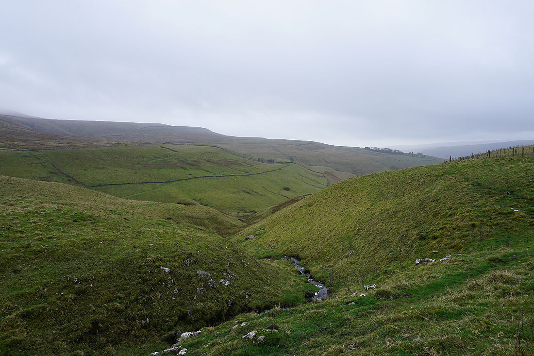
Looking down Park Gill
Heading for the ford across Park Gill
There are a number of small waterfalls just below the ford...
Looking across Park Gill to East Scale Lodge on the opposite hillside as I reach the Kettlewell to Coverdale road
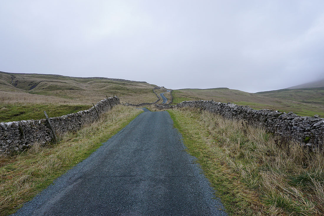
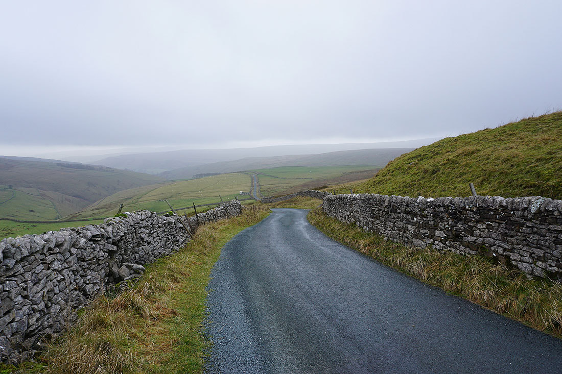
Unfortunately I can't avoid having to walk up the road to reach the footpath to Great Whernside
Speaking of which, I'm not hopeful that cloud will clear before I get there
Looking back down the road up Park Rash
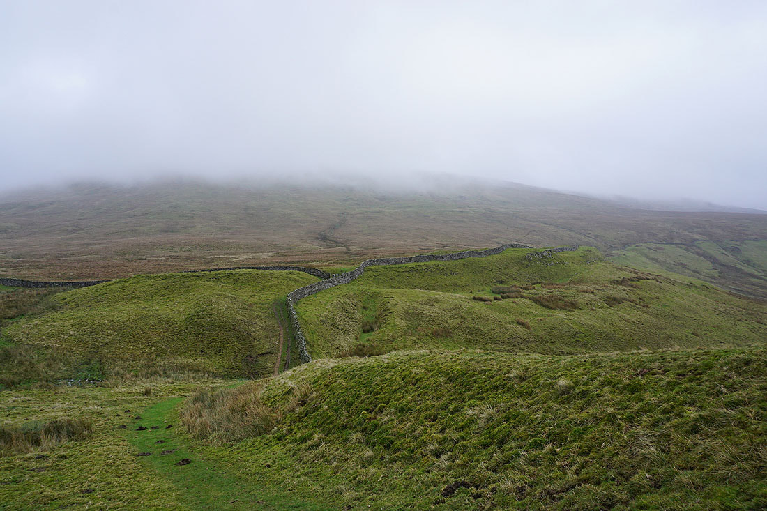
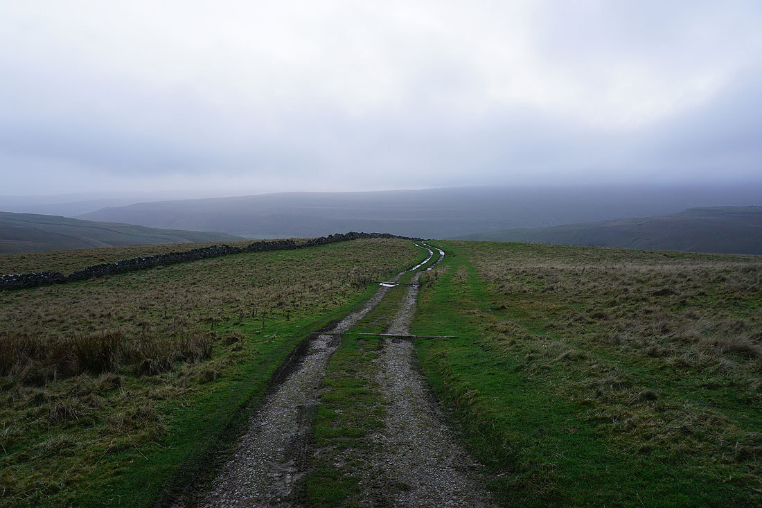
Leaving the road I take the footpath across Hunters Sleets to Great Whernside
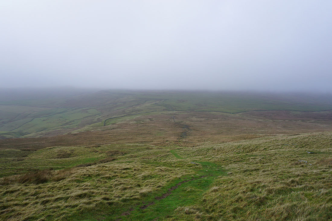
Looking back down to Hunters Sleets
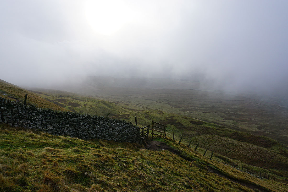
As I near the top of the climb the clouds briefly part and there's a bit of brightness in the sky..
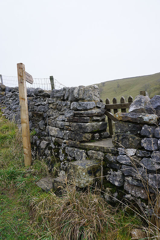
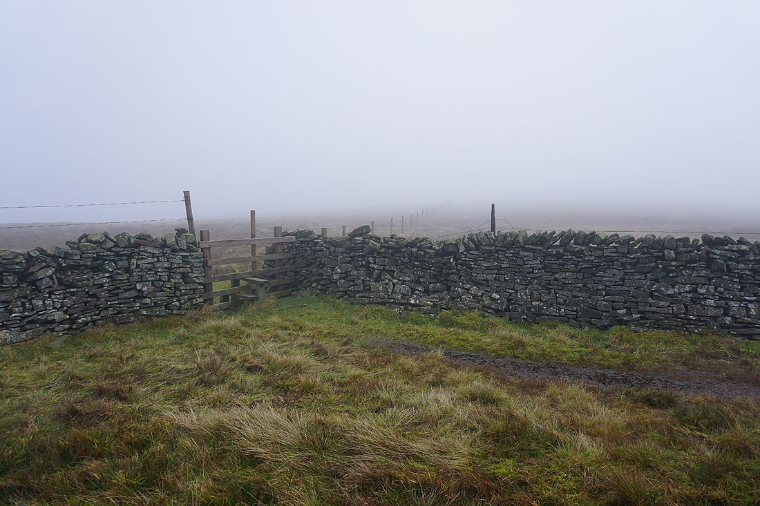
Across the stile at Black Dike End..
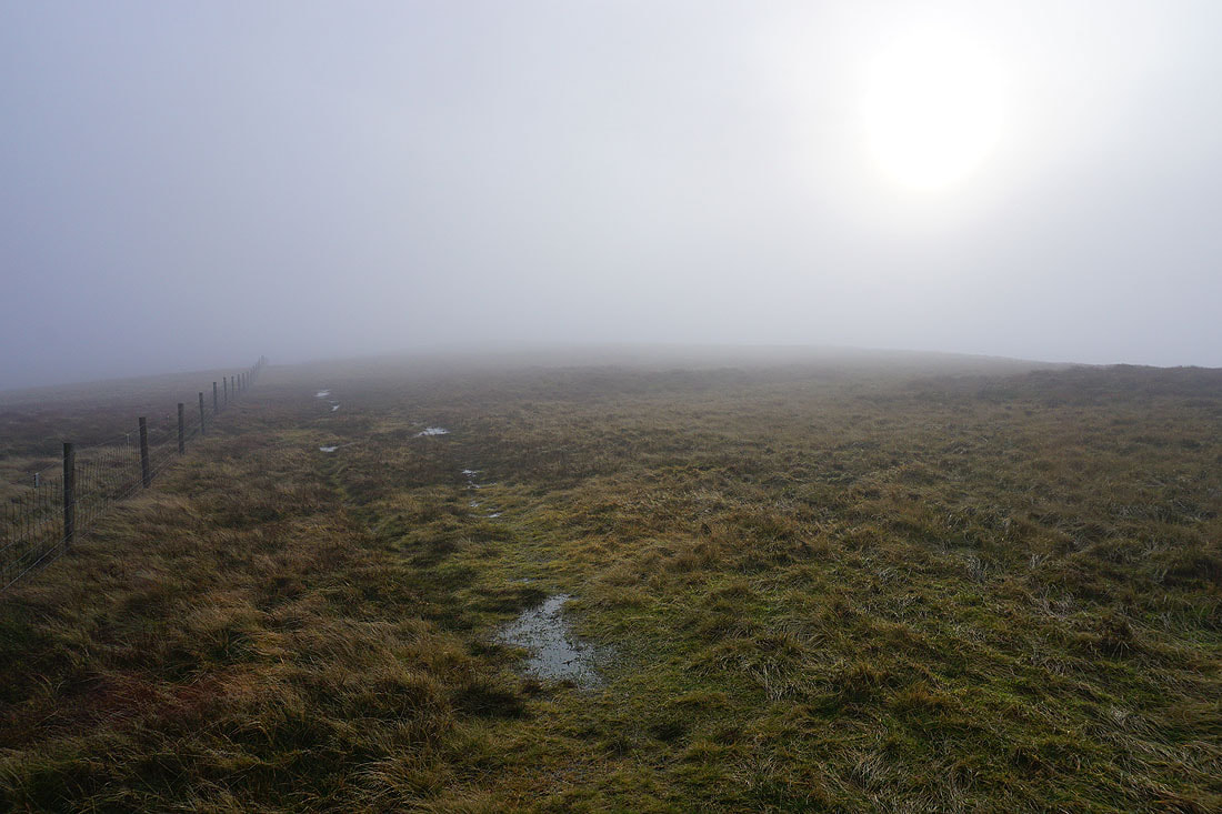
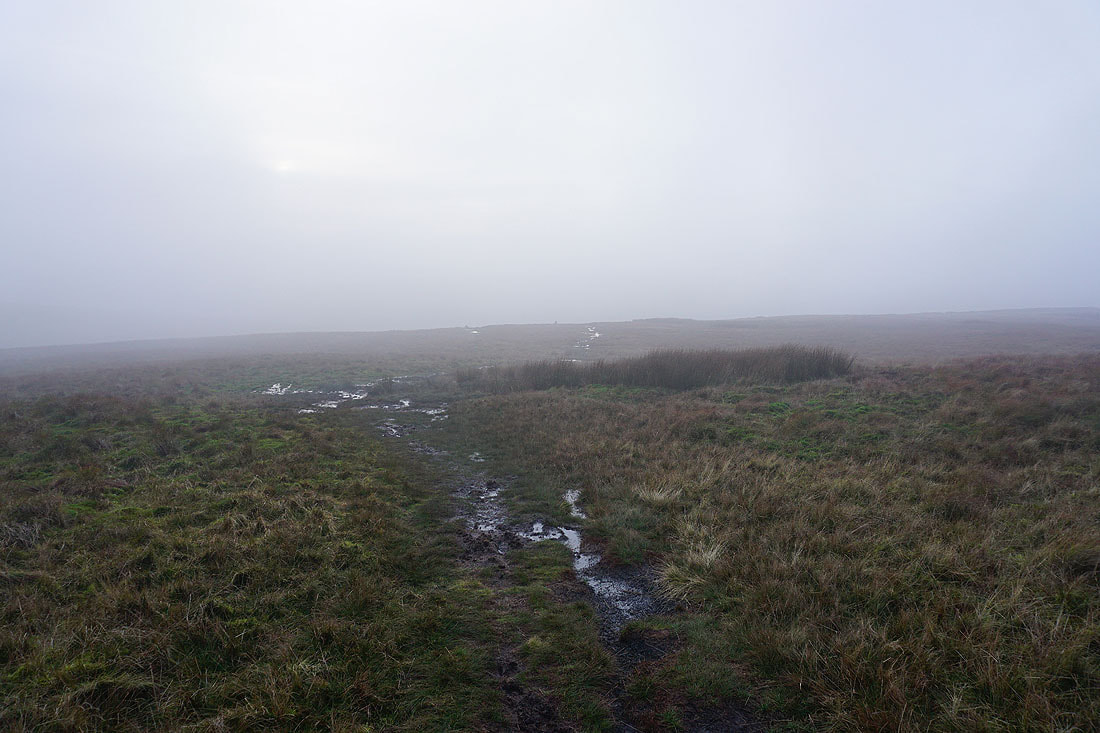
..and I head for the summit. The sun is shining very weakly through the cloud.
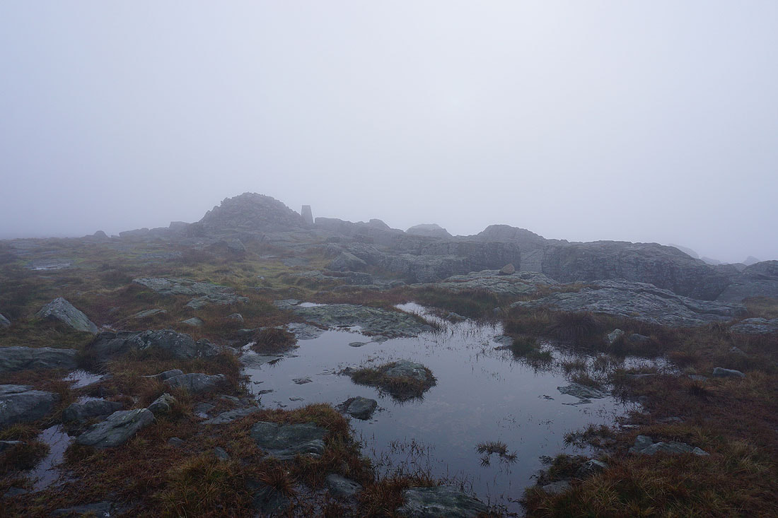
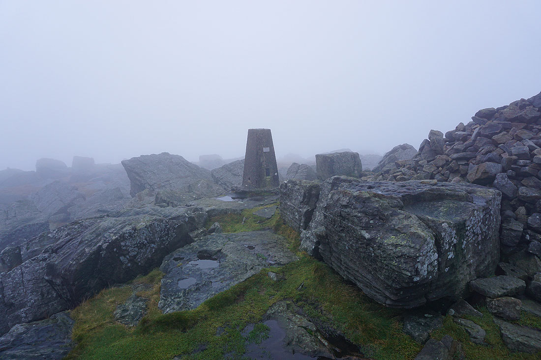
On the summit of Great Whernside. Nothing to see, and after waiting a while to see if the cloud would clear I decided it was time to head down..
The fog thins as I head down
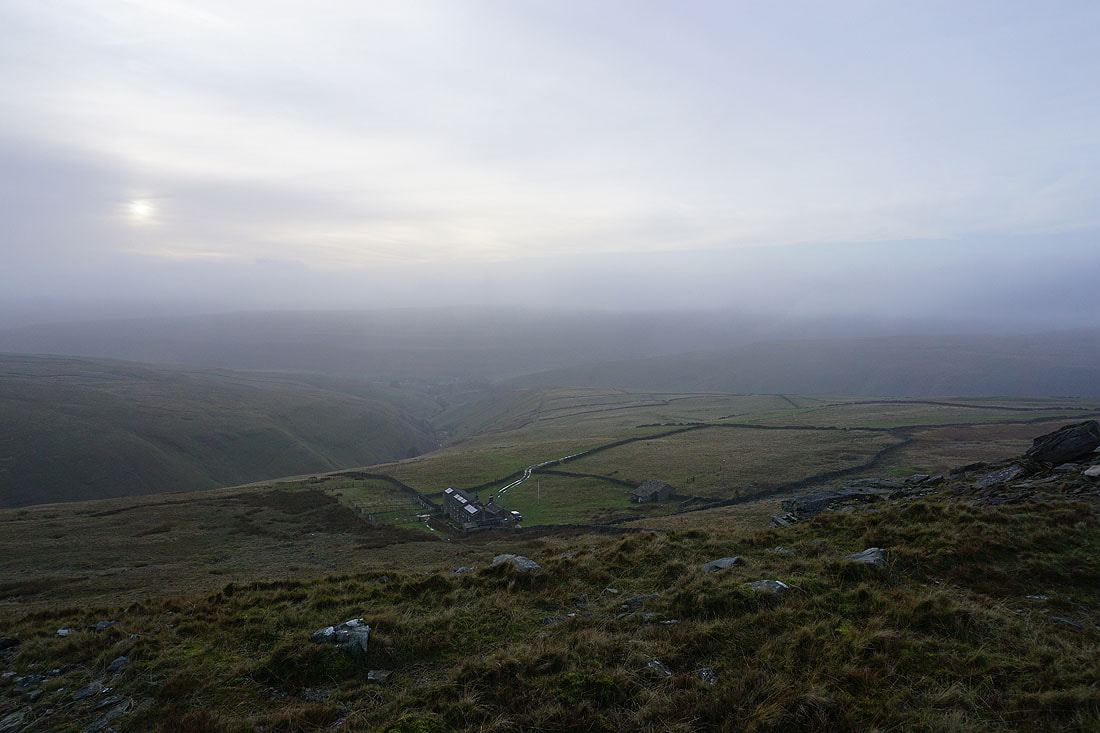
and then disappears as I reach the crag above the Hag Dyke Hostel. It looks bleak with the sun shining weakly through the cloud.
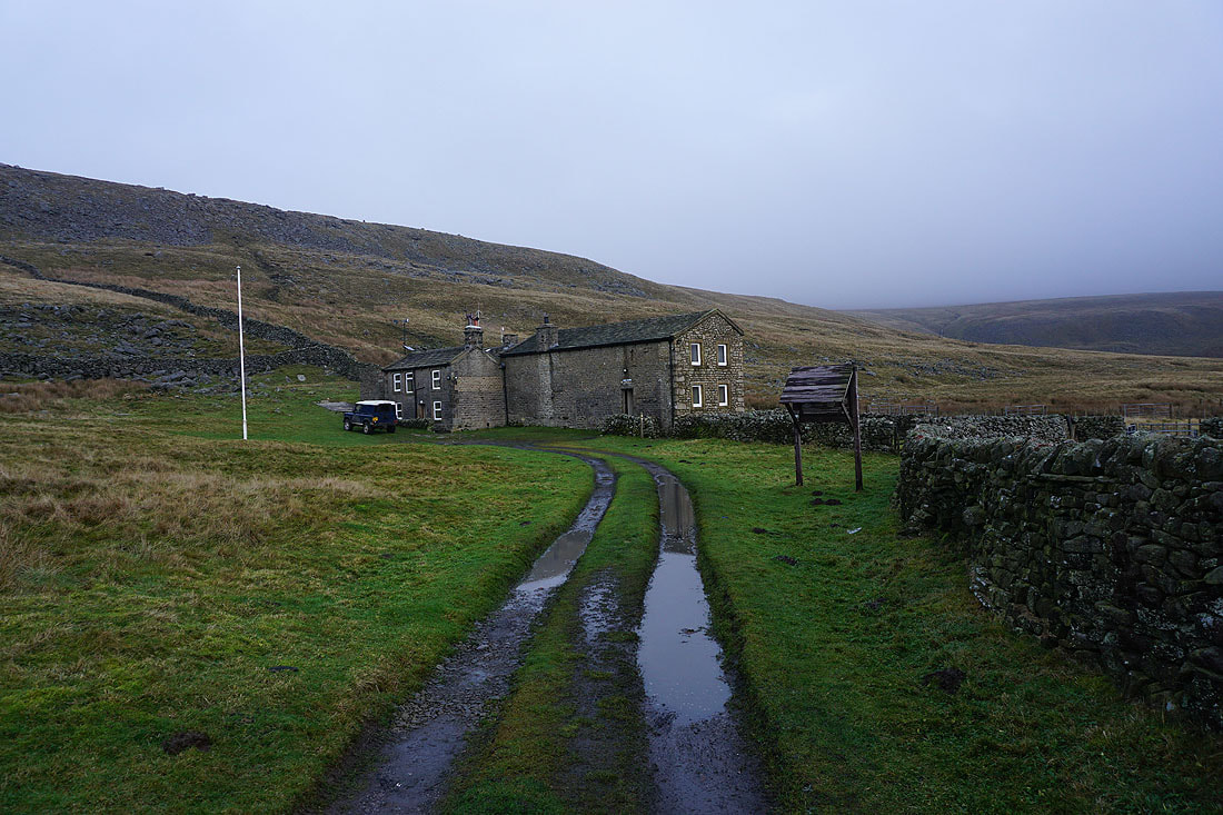
The Hag Dyke Hostel
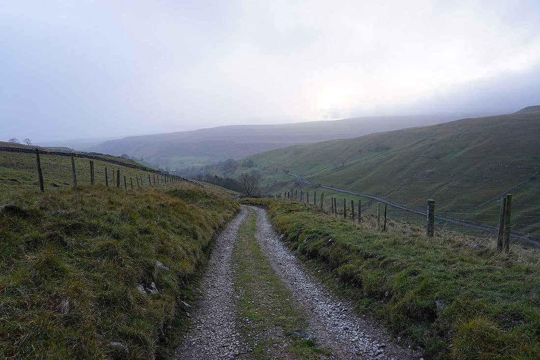
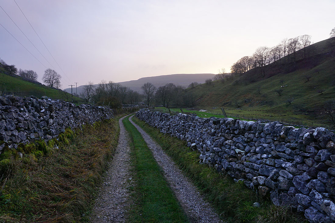
From the Hag Dyke Hostel I take the bridleway down to Kettlewell...
