27th October 2019 - Mill Gill Force and Ellerkin Scar
Walk Details
Distance walked: 10.0 miles
Total ascent: 1861 ft
OS map used: OL30 - Yorkshire Dales, Northern & Central areas
Time taken: 6 hrs
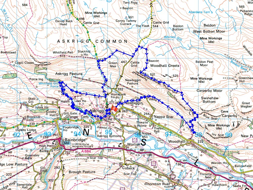
Route description: Askrigg-Mill Lane-Mill Gill Force-Whitfield Gill Force-Low Straights Lane-Cross Top-Green Mea Head-Long Band-Woodhall Greets-Ellerkin Scar-Beldhaw Hill-Heugh-Newbiggin-Askrigg
There's a weekend of fine autumn weather forecast and I'm going to make the most of it and get out on both days. For today's walk I've decided to head to Askrigg in Wensleydale and visit two waterfalls, Mill Gill Force and Whitfield Gill Force, and walk along the top of Ellerkin Scar. Of the two waterfalls Mill Gill Force was the best. It has a great setting and I was able to set my tripod up and take some long exposure photographs. Whitfield Gill Force is a bit more difficult to get to, and with all the boulders around and the spray from the fall, there's just no point in setting it up. After taking in the scenic delights of the waterfalls in the morning, the walk along the top of Ellerkin Scar in the afternoon with its great views across Wensleydale made the second half of the route as good as the first. Blue skies, sunny spells and good visibility were the order of the day but with a strong and cold northwesterly wind high up.
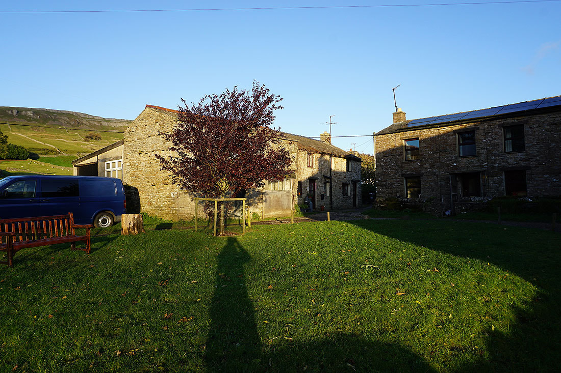
From the car park in Askrigg I walked down the main street to St. Oswald's church and turned right onto Mill Lane. I then walked along Mill Lane until I reached the third footpath on the right (it's past all the buildings), and followed it across fields and into the woodland around Mill Gill, where I crossed a footbridge, and made my way up the path on the western side of the gill. When I reached the sign for Mill Gill Force I left this path and went down to the waterfall. On returning to the path above I continued up the west side of Mill Gill and then Whitfield Gill to reach Whitfield Gill Force (it's signposted). I backtracked from Whitfield Gill Force to a footbridge to cross the gill and then climbed a path north through woodland to reach the western end of Low Straights Lane. I then walked down Low Straights Lane to the road at its end, turned left and walked up the road, taking the left at a fork, past the end of High Straights Lane, and up onto Askrigg Common. Just after crossing a cattle grid I took the footpath on the right across the moorland of Green Mea Head to the road of Long Band, which I walked up to reach the bridleway up to the ruins of Greets Shooting House. This was a good place to stop for lunch with some shelter from the wind. I then followed the bridleway south to its end at a prominent cairn that's marked on the map as a beacon, and from there I made my south south across the moor to the top of Ellerkin Scar. I followed the top of Ellerkin Scar to the east until I reached the bridleway down to Woodhall, which I took and followed downhill before taking another bridleway west across the hillside beneath Ellerkin Scar to the end of the road of Harr Gill at Heugh. I was briefly on the track west from the end of the road, then took the footpath on the left down to the hamlet of Newbiggin. From Newbiggin I took the path down Stony Bank back to Askrigg.
Total ascent: 1861 ft
OS map used: OL30 - Yorkshire Dales, Northern & Central areas
Time taken: 6 hrs
Route description: Askrigg-Mill Lane-Mill Gill Force-Whitfield Gill Force-Low Straights Lane-Cross Top-Green Mea Head-Long Band-Woodhall Greets-Ellerkin Scar-Beldhaw Hill-Heugh-Newbiggin-Askrigg
There's a weekend of fine autumn weather forecast and I'm going to make the most of it and get out on both days. For today's walk I've decided to head to Askrigg in Wensleydale and visit two waterfalls, Mill Gill Force and Whitfield Gill Force, and walk along the top of Ellerkin Scar. Of the two waterfalls Mill Gill Force was the best. It has a great setting and I was able to set my tripod up and take some long exposure photographs. Whitfield Gill Force is a bit more difficult to get to, and with all the boulders around and the spray from the fall, there's just no point in setting it up. After taking in the scenic delights of the waterfalls in the morning, the walk along the top of Ellerkin Scar in the afternoon with its great views across Wensleydale made the second half of the route as good as the first. Blue skies, sunny spells and good visibility were the order of the day but with a strong and cold northwesterly wind high up.
From the car park in Askrigg I walked down the main street to St. Oswald's church and turned right onto Mill Lane. I then walked along Mill Lane until I reached the third footpath on the right (it's past all the buildings), and followed it across fields and into the woodland around Mill Gill, where I crossed a footbridge, and made my way up the path on the western side of the gill. When I reached the sign for Mill Gill Force I left this path and went down to the waterfall. On returning to the path above I continued up the west side of Mill Gill and then Whitfield Gill to reach Whitfield Gill Force (it's signposted). I backtracked from Whitfield Gill Force to a footbridge to cross the gill and then climbed a path north through woodland to reach the western end of Low Straights Lane. I then walked down Low Straights Lane to the road at its end, turned left and walked up the road, taking the left at a fork, past the end of High Straights Lane, and up onto Askrigg Common. Just after crossing a cattle grid I took the footpath on the right across the moorland of Green Mea Head to the road of Long Band, which I walked up to reach the bridleway up to the ruins of Greets Shooting House. This was a good place to stop for lunch with some shelter from the wind. I then followed the bridleway south to its end at a prominent cairn that's marked on the map as a beacon, and from there I made my south south across the moor to the top of Ellerkin Scar. I followed the top of Ellerkin Scar to the east until I reached the bridleway down to Woodhall, which I took and followed downhill before taking another bridleway west across the hillside beneath Ellerkin Scar to the end of the road of Harr Gill at Heugh. I was briefly on the track west from the end of the road, then took the footpath on the left down to the hamlet of Newbiggin. From Newbiggin I took the path down Stony Bank back to Askrigg.
Route map
© Crown copyright. All rights reserved. License number PU 100034184.
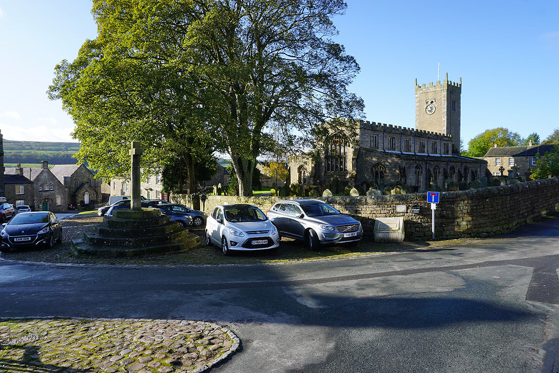
St. Oswald's church in Askrigg
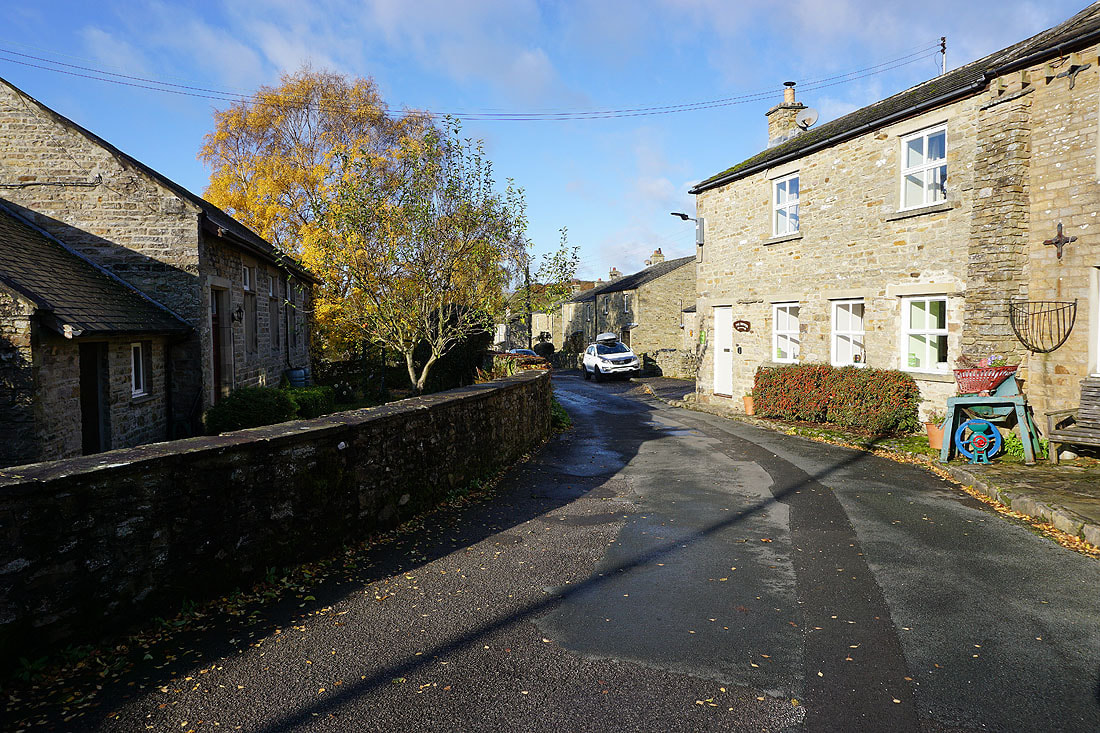
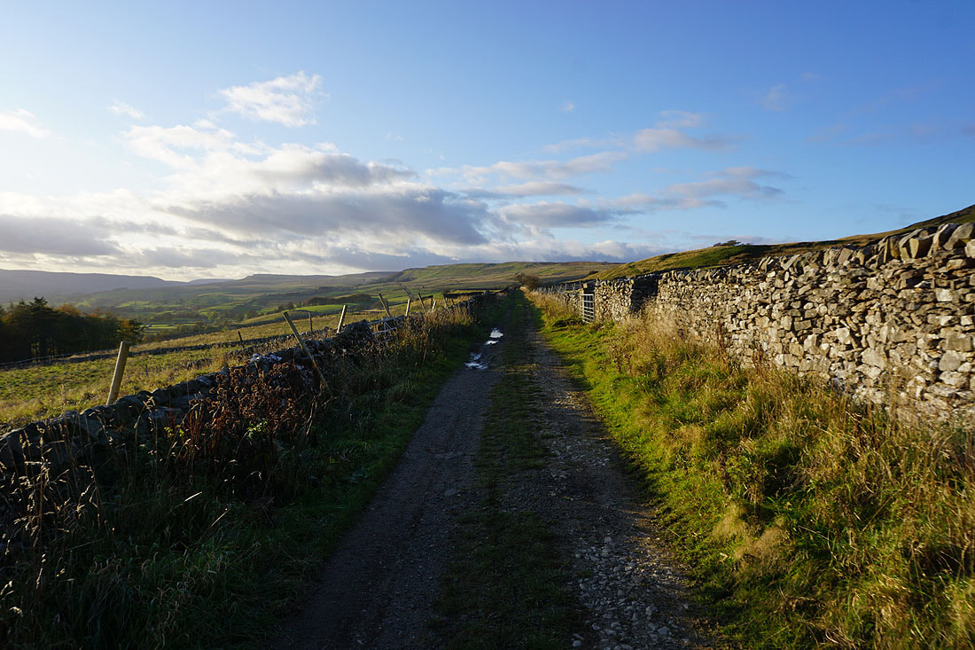
Leaving Askrigg by Mill Lane
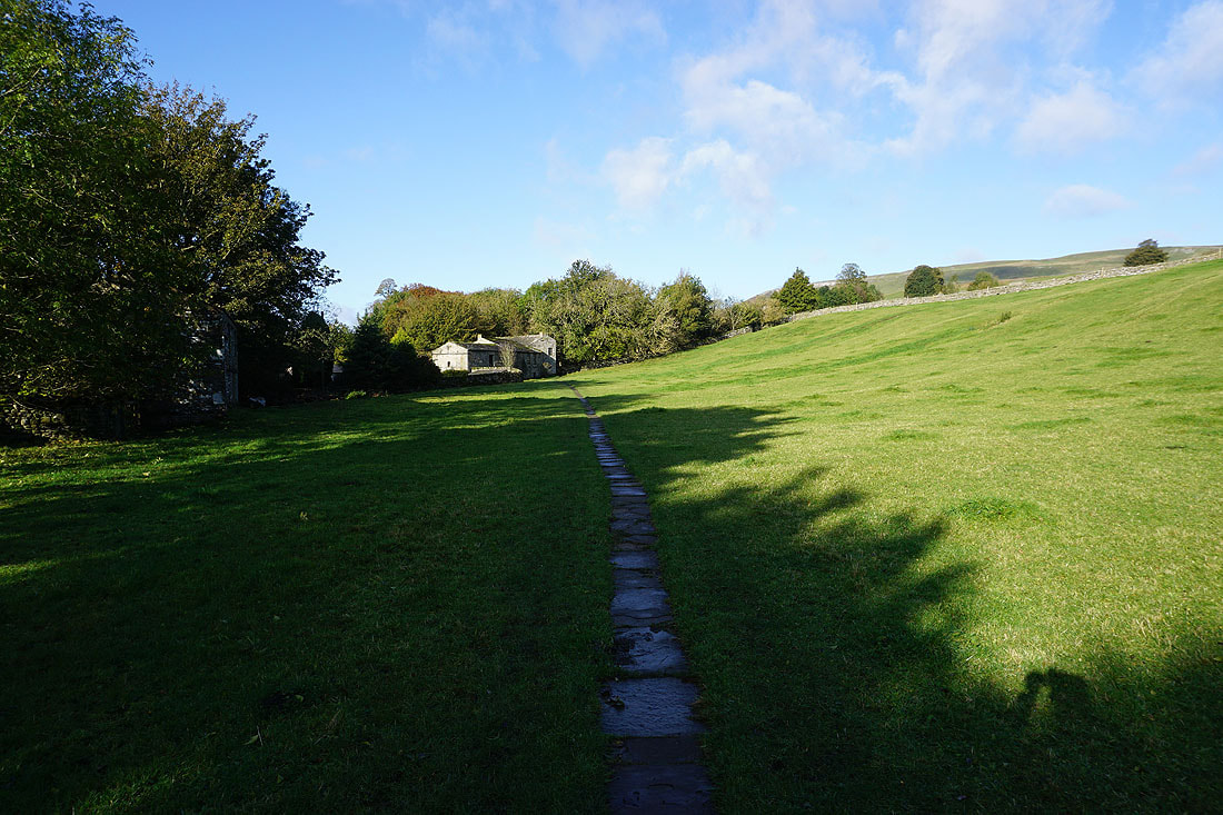
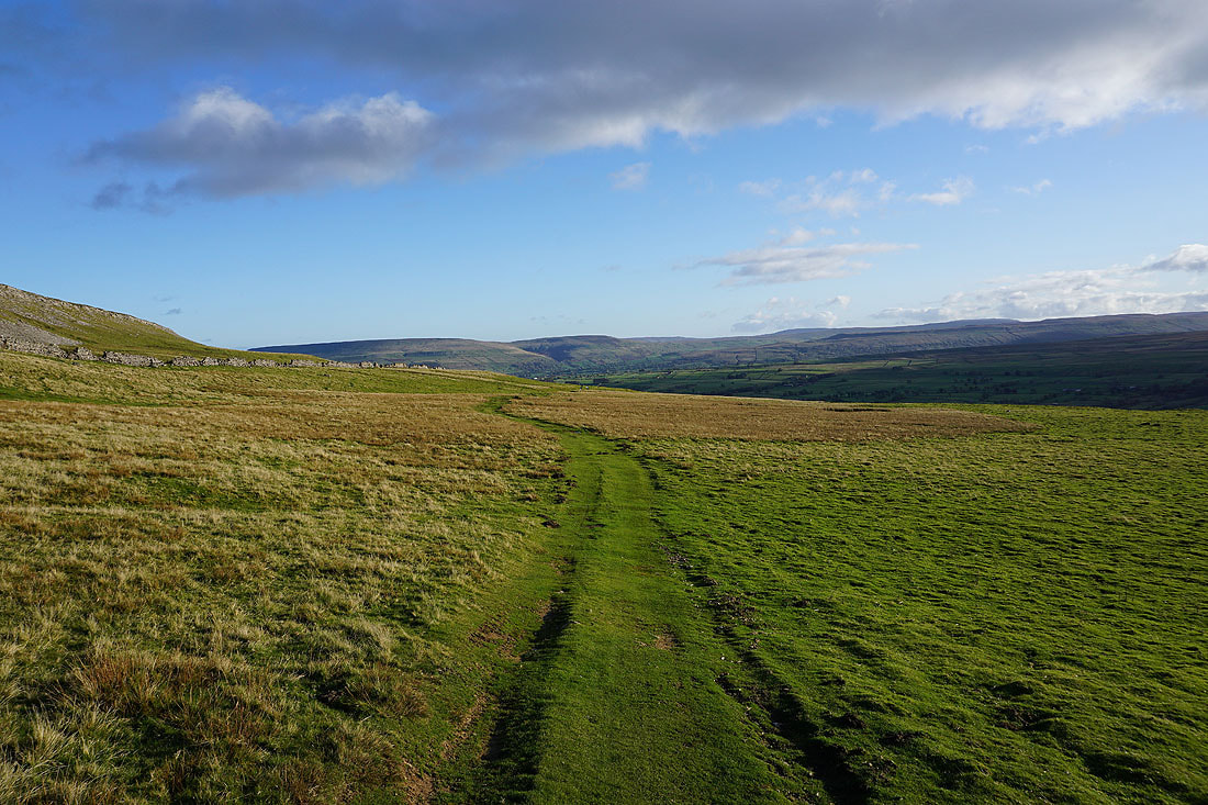
I leave Mill Lane for the footpath to Mill Gill
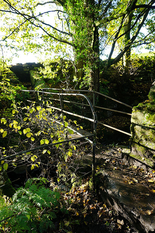
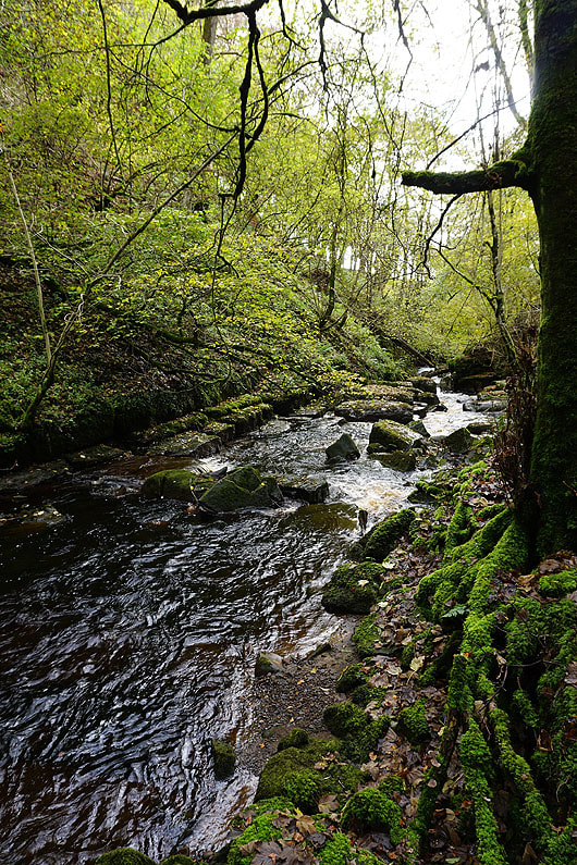
The path then crosses the gill via this footbridge
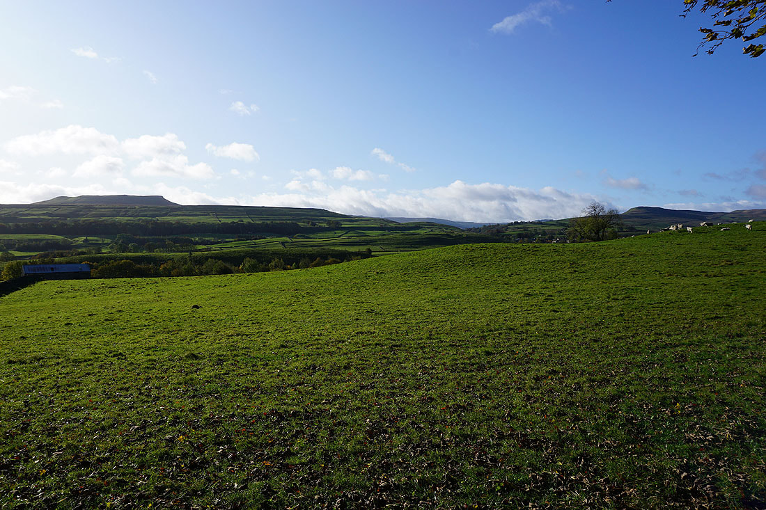
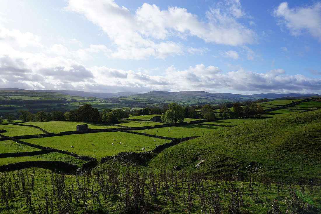
I then get a view across Wensleydale to Addlebrough and Crag which mark the entrance to Raydale
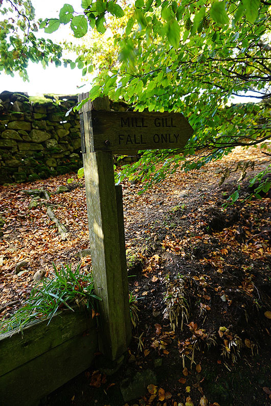
The path down to Mill Gill Force is clearly signed
|
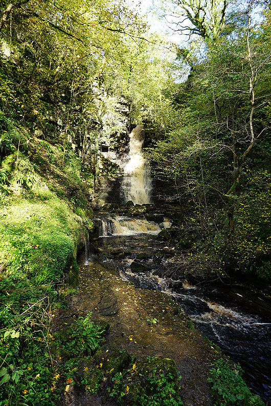
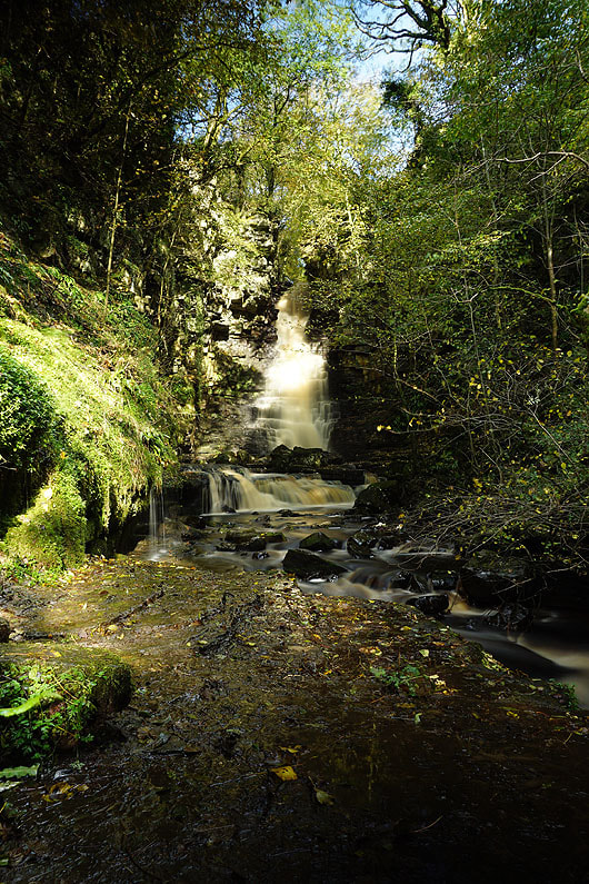
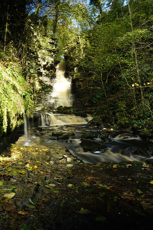
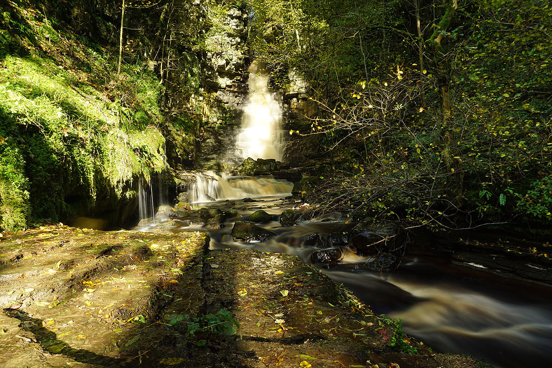
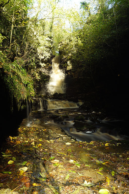
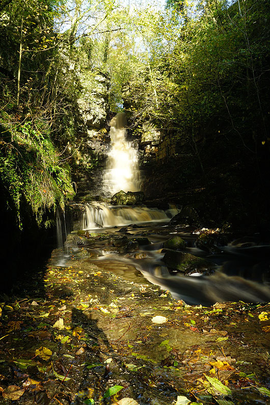
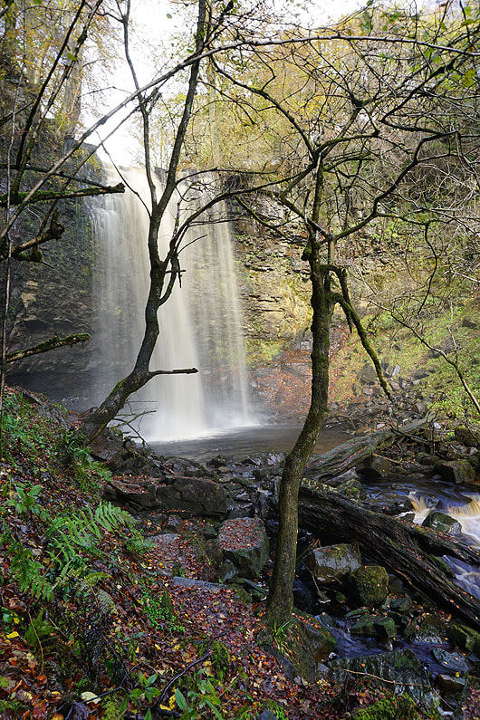
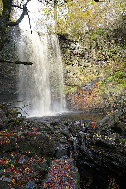
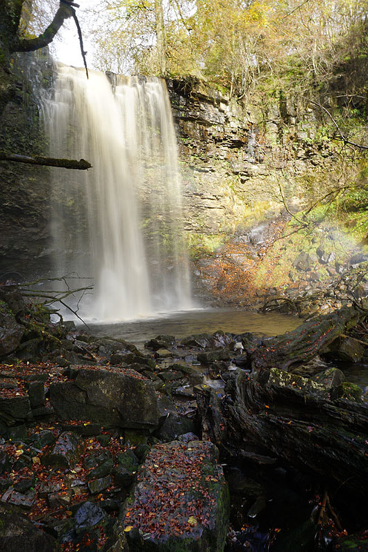
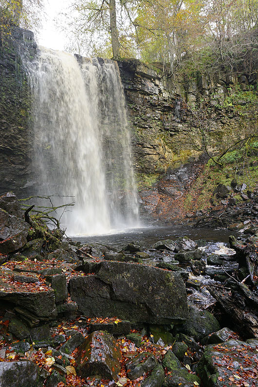
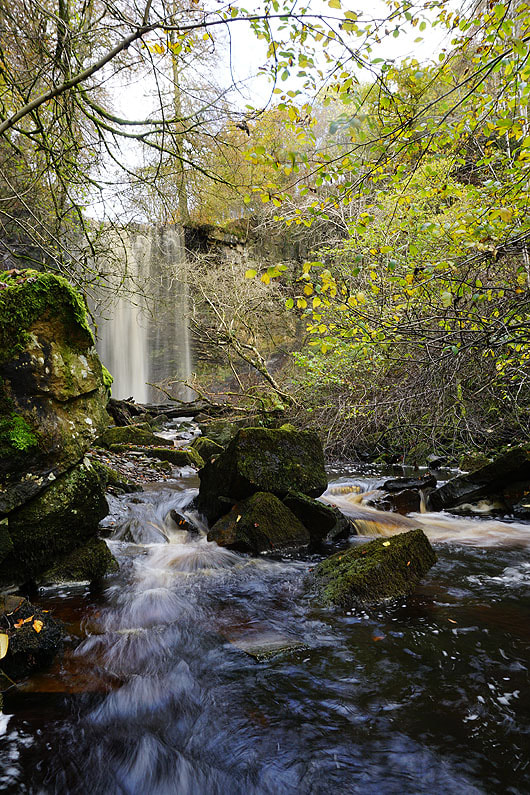
Mill Gill Force is in a delightful setting
|
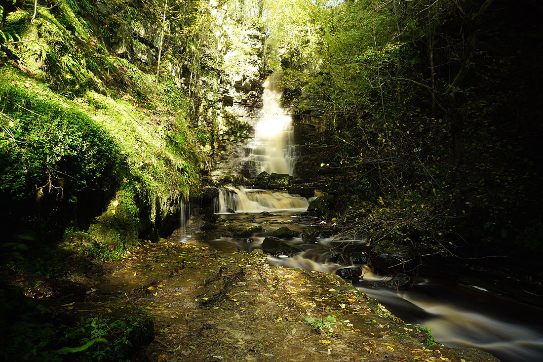
Several photos of Mill Gill Force taken with different settings on my camera. They're all long exposures and it's the only time where I'd prefer it if the sun wasn't out, as it tends to give issues with overexposure......
|
|
|
|
Whitfield Scar above from the path from Mill Gill up to Whitfield Gill
|
|
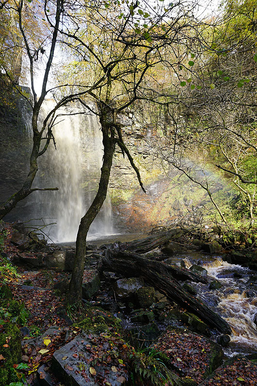
Whitfield Gill Force. A little tricky to reach, and with the spray from it I won't be bothering setting up my tripod for long exposures.
|
|
|
|
|
|
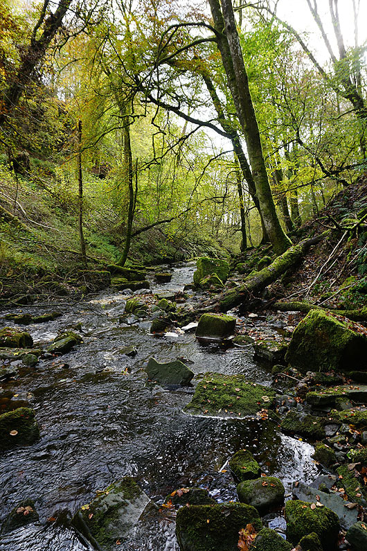
Whitfield Gill as I return to the main path..
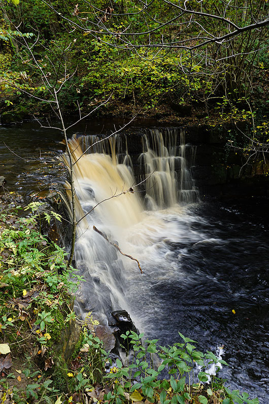
A little waterfall below the footbridge over Whitfield Gill
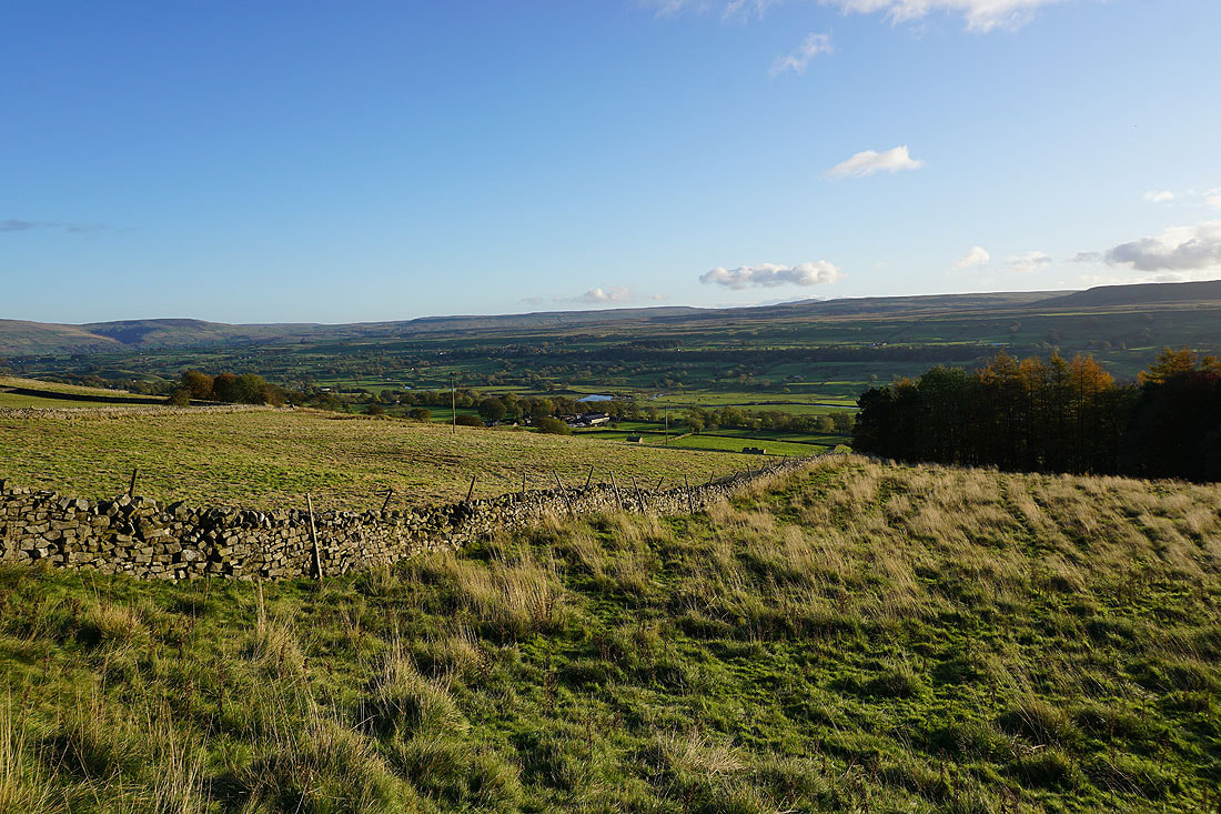
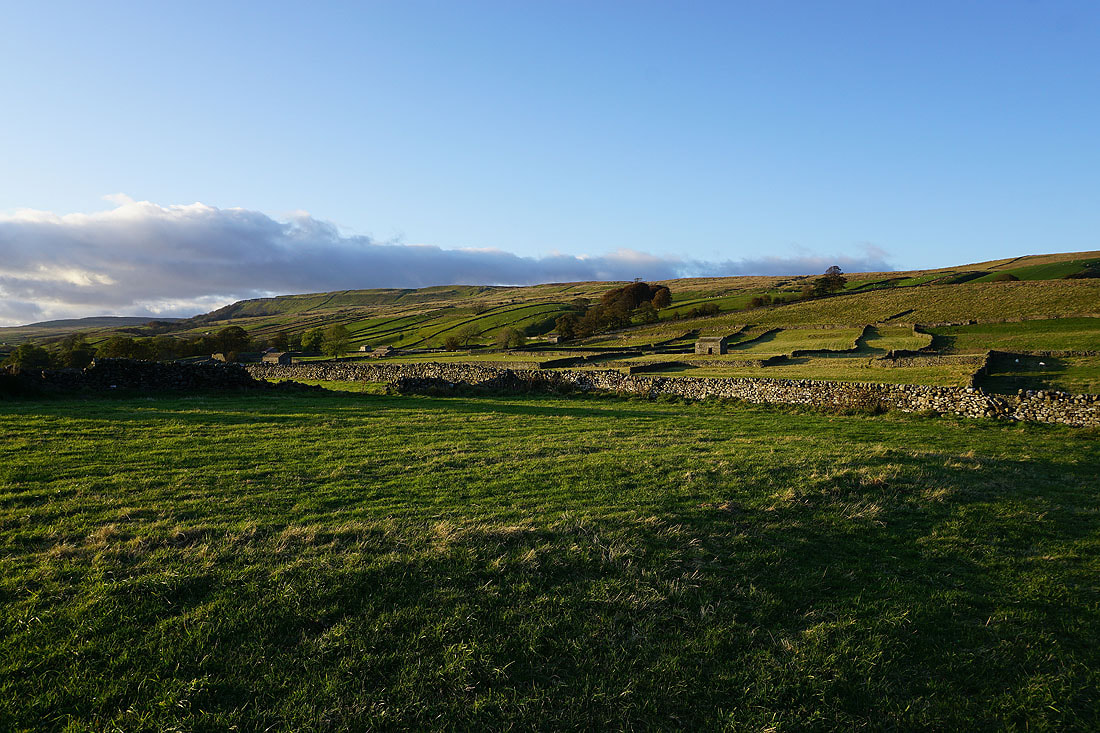
Wensleydale as I make my way down the track of Low Straights Lane
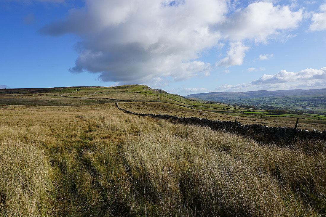
The western end of Ellerkin Scar
Looking back to Whitfield Scar. The woodland is around the top of Whitfield Gill.
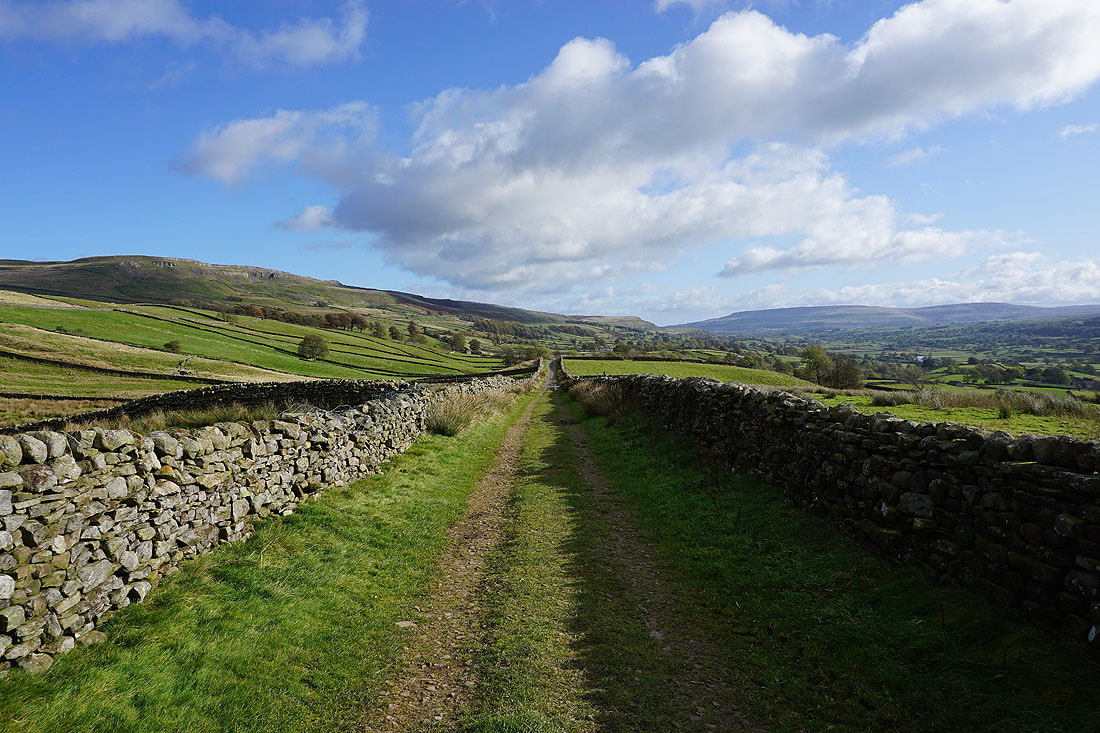
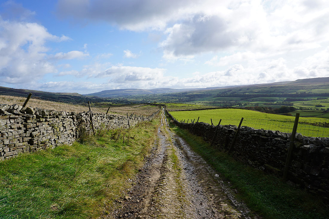
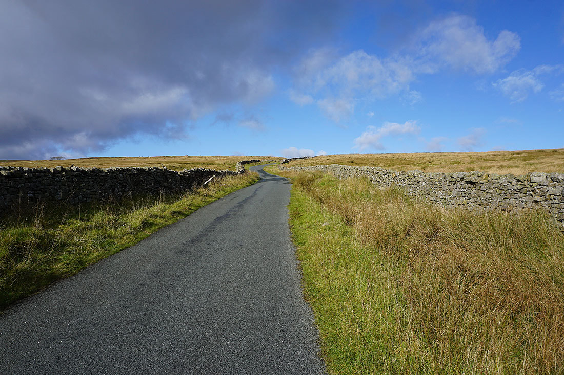
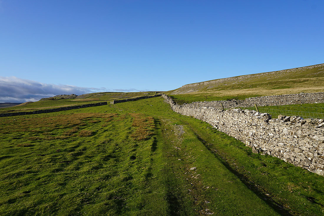
Low Straights Lane is certainly straight
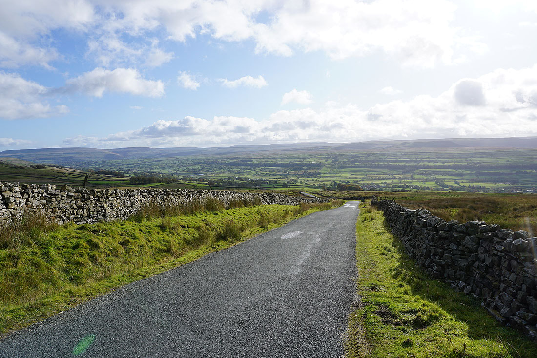
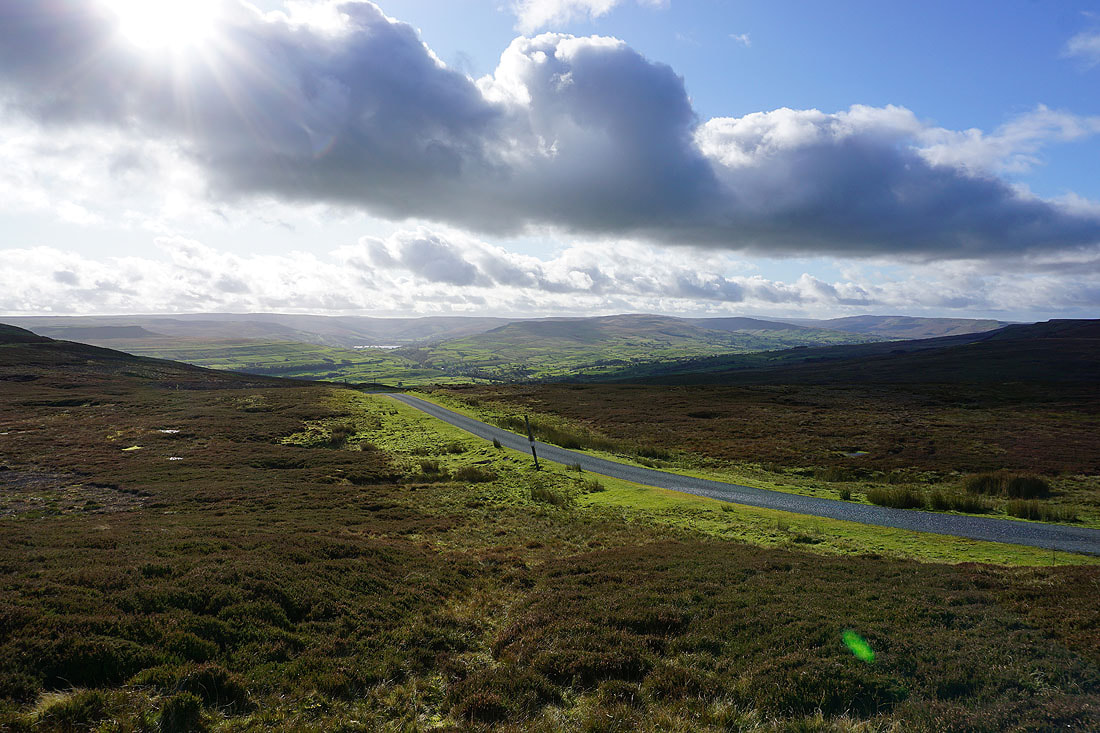
Wensleydale as I reach the road that climbs across Askrigg Common to Swaledale
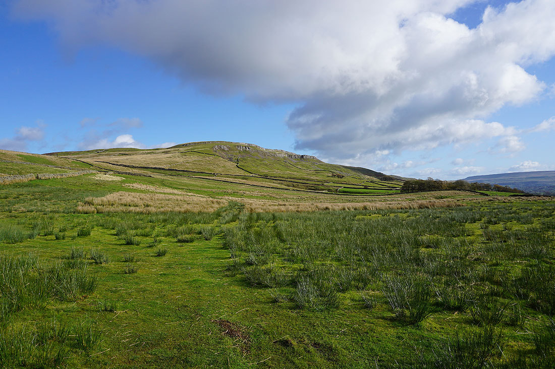
Ellerkin Scar
An unavoidable bit of uphill road walking
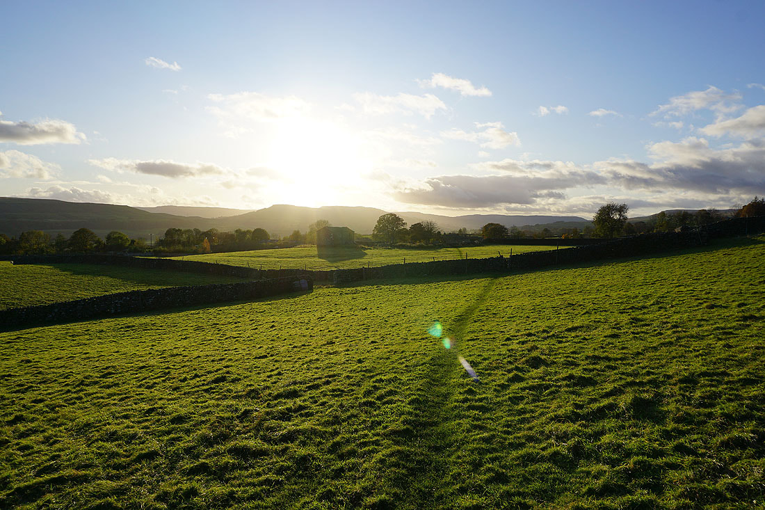
As compensation I have a great view of Wensleydale when I turn round
Ellerkin Scar as I take the path across Turner Beck..
..and Green Mea Head
Looking back to Addlebrough, a glimpse of Semer Water and Wether Fell
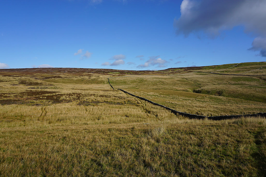
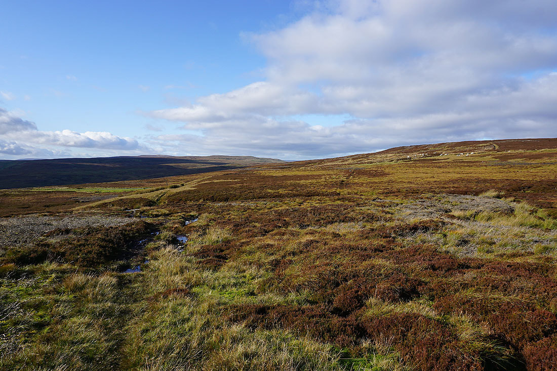
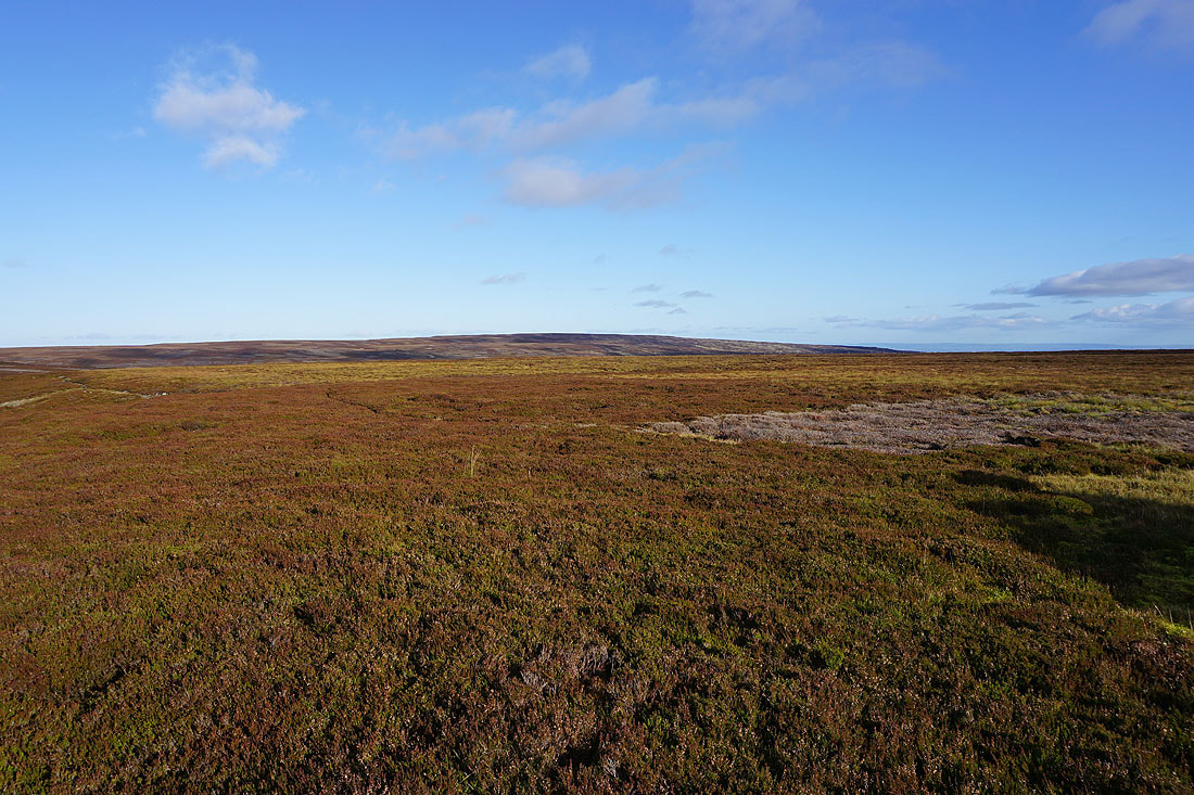
The moorland of Askrigg Common
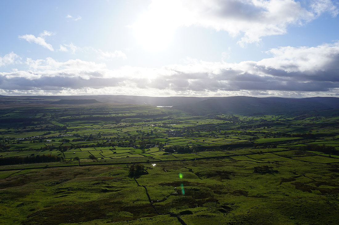
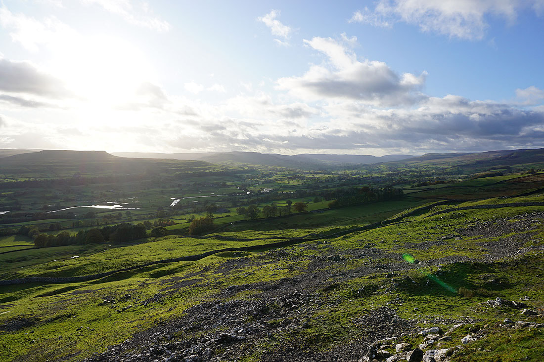
The view south across Wensleydale to Addlebrough, Raydale and Semer Water, and Wether Fell as I reach the bridleway onto Woodhall Greets from the road of Long Band
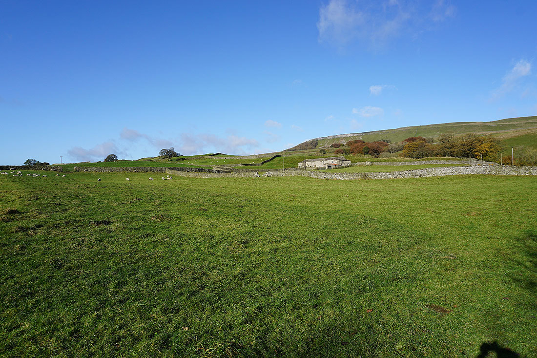
Oxnop Common and Askrigg Common
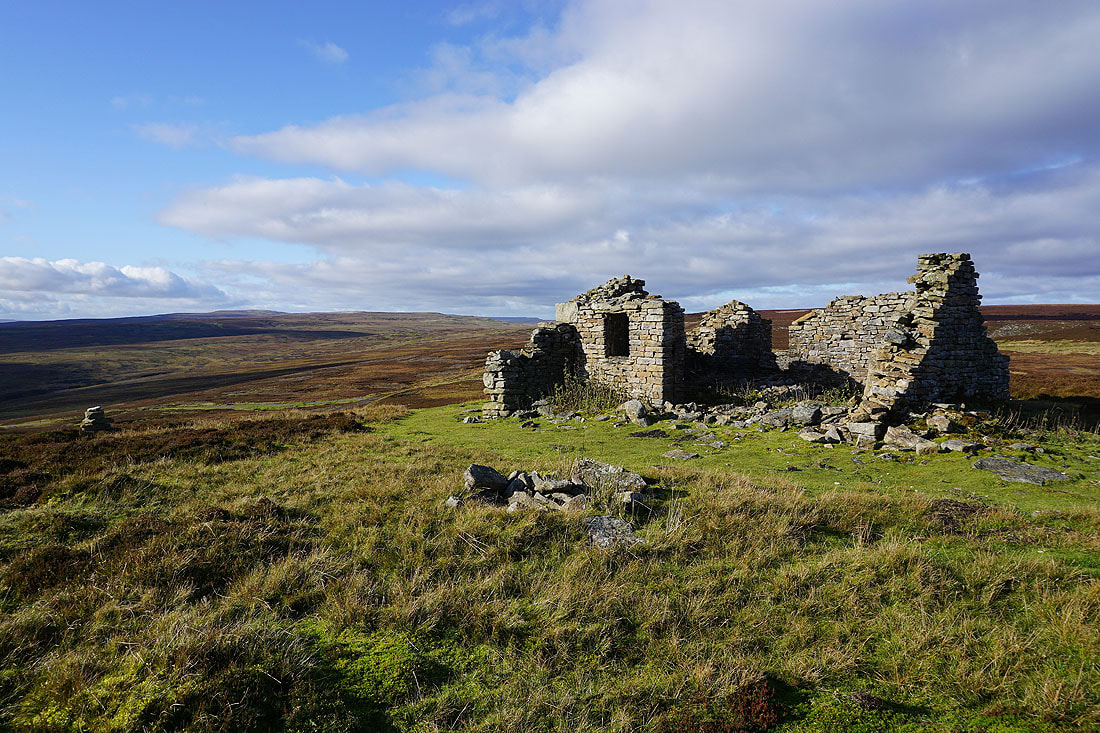
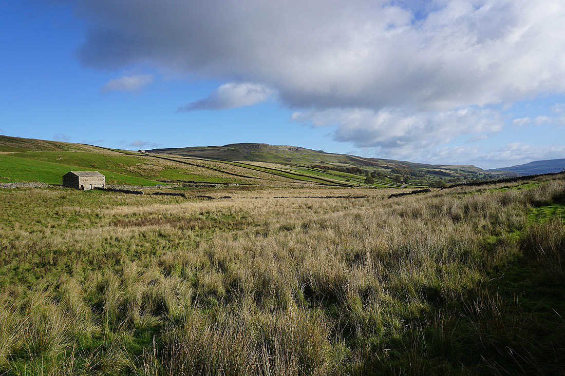
The ruins of Greets Shooting House. A suitable place to stop and find some shelter from the wind to have my lunch.
Raydale and Semer Water, Wether Fell and Widdale Fell from Greets Shooting House
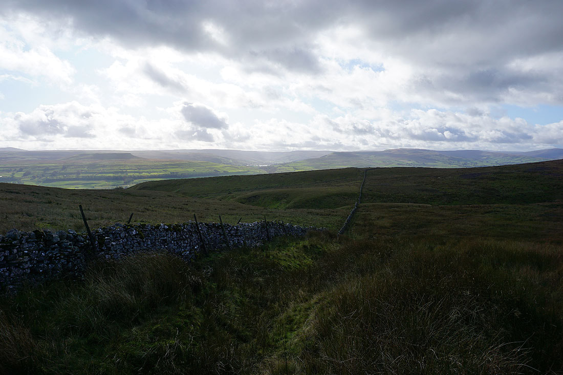
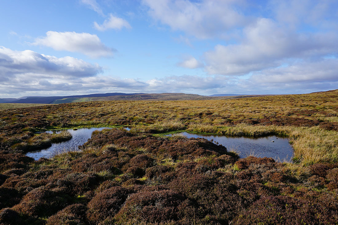
The heathery expanse of Whitaside Moor and West Bolton Moor
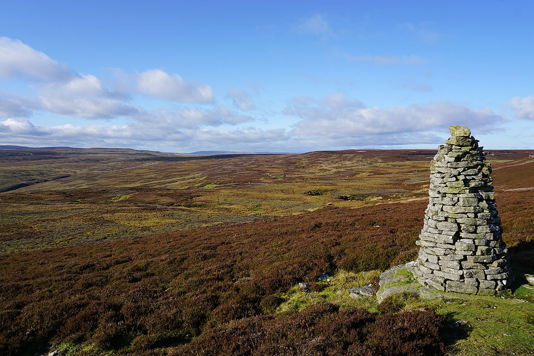
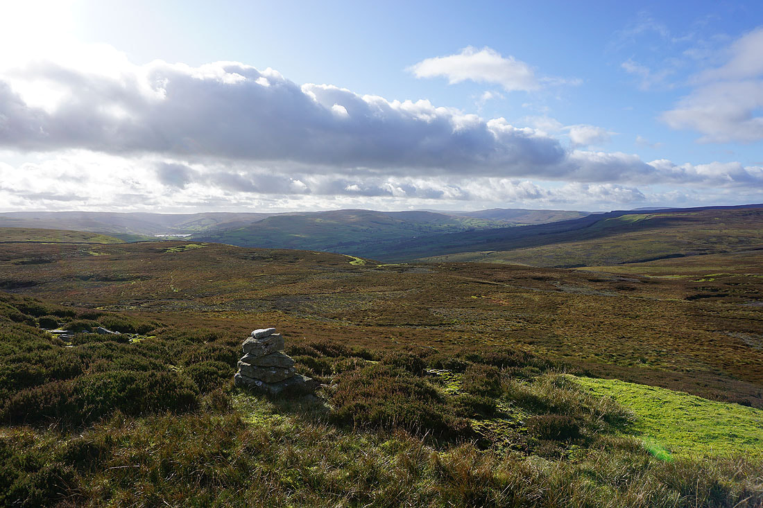
The moorland of Askrigg Common from the beacon on Woodhall Greets
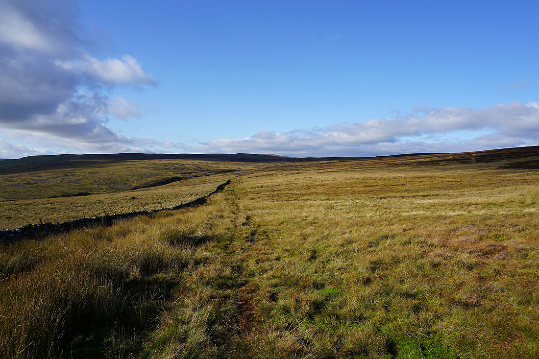
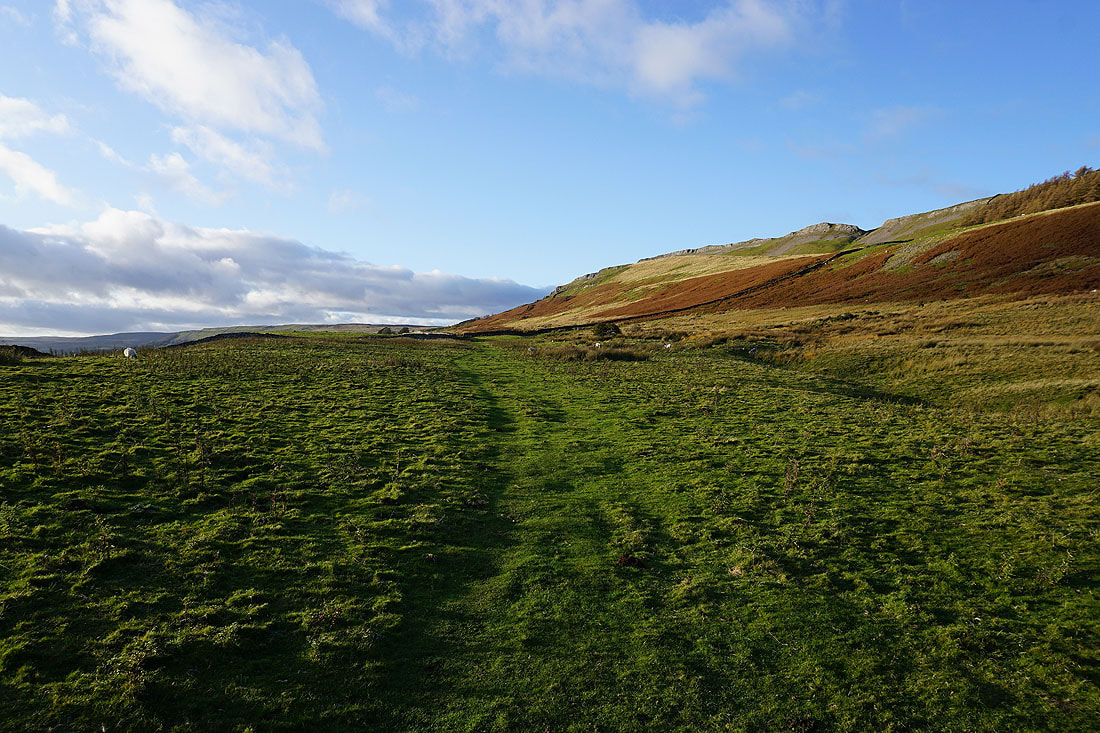
Looking west to Whitfield Fell and Askrigg Common as I head for Ellerkin Scar
Greets Edge
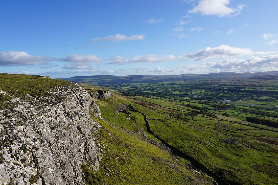
A fantastic view of Wensleydale greets my arrival on Ellerkin Scar. Looking east down the dale to Penhill and the moors around Bishopdale.
and across the dale to Addlebrough, Raydale and Semer Water, and Wether Fell
Looking west to the fells around the head of Wensleydale
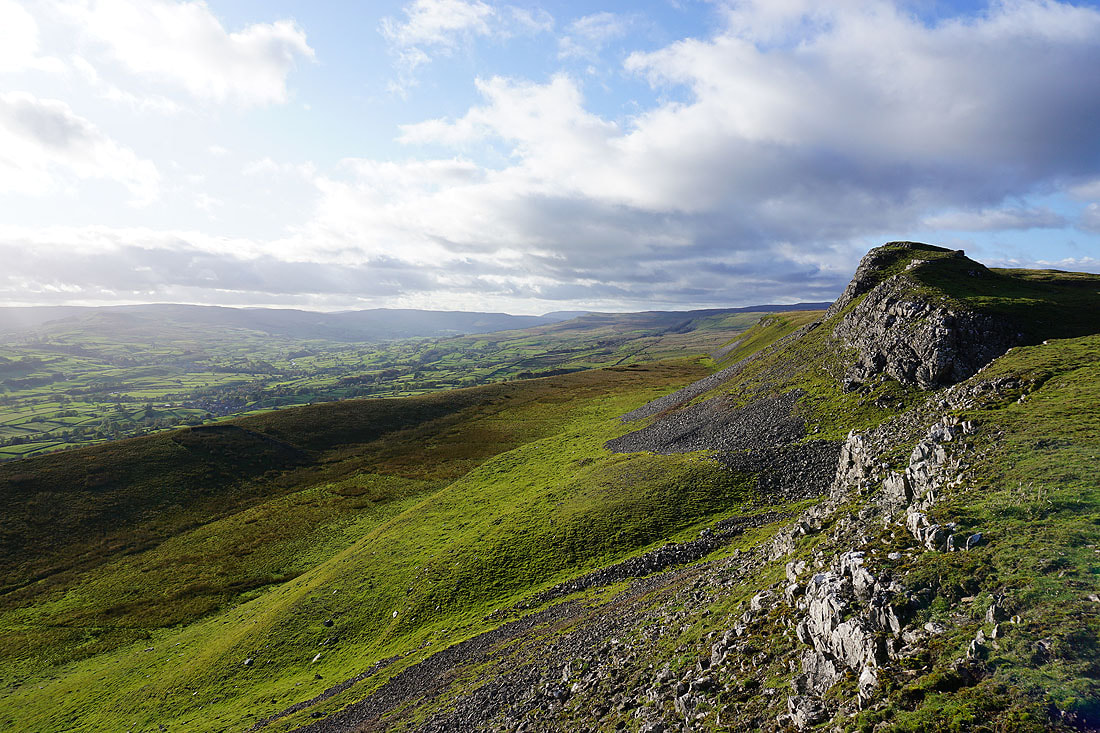
Further east along Ellerkin Scar and the lengthening shadows create a great light across the dale
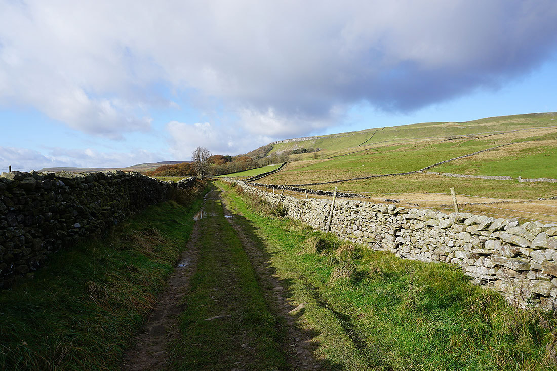
Ellerkin Scar is left for the bridleway down to Woodhall
Looking back to Ellerkin Scar
I have a great view across Wensleydale to my right
Heading west along the bridleway beneath Ellerkin Scar
The bridleway joins a track with a view west to Whitfield Fell in front of me
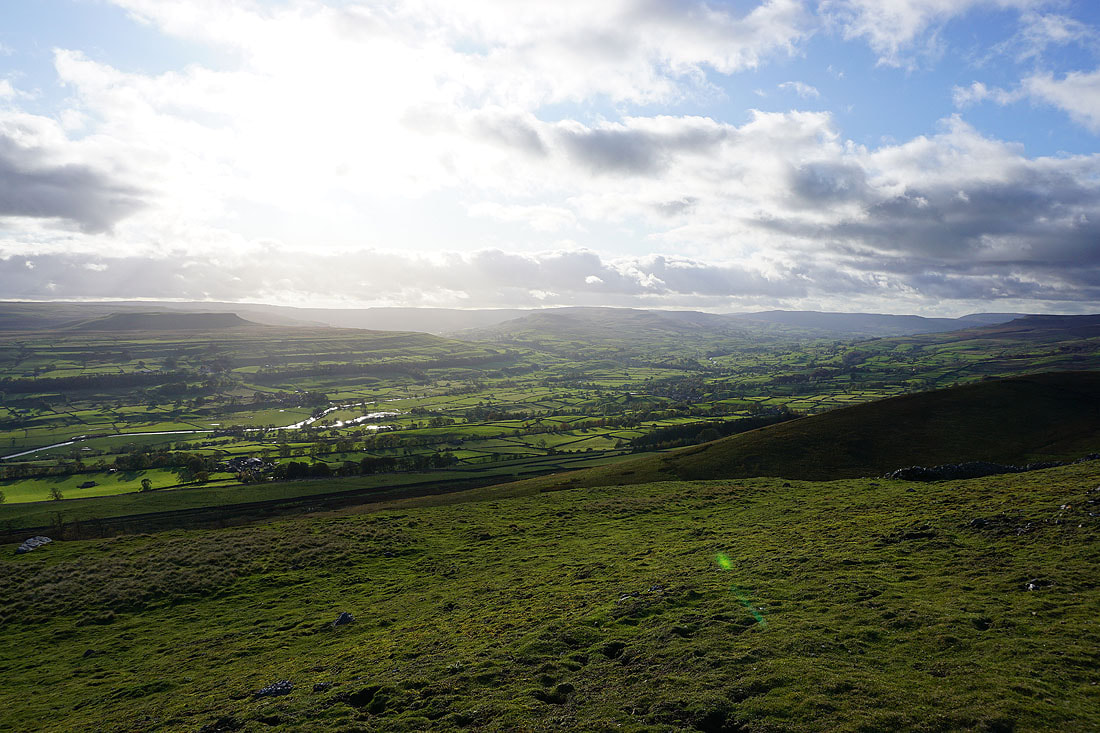
Looking across Wensleydale to Aysgarth Moor, Thornton Scar and Worton Scar
Following a path down to Newbiggin
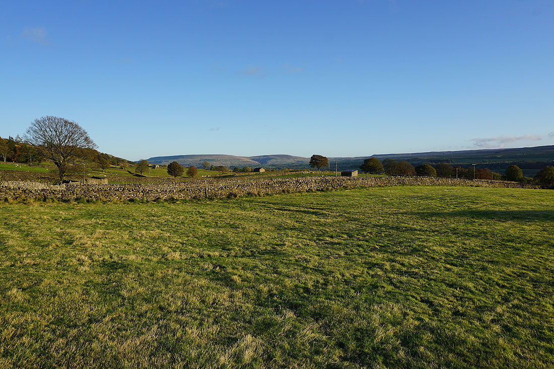
Penhill and Harland Hill in the distance
In the hamlet of Newbiggin
Long shadows as I look towards Whitfield Scar
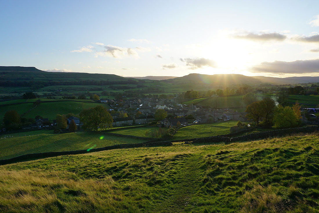
The sun starts to set as I make it back to Askrigg