27th September 2009 - Wansfell and Troutbeck Tongue via Caudale Moor
Walk Details
Distance walked: 12.2 miles
Total ascent: 3605 ft
OS map used: OL7 - The English Lakes, South-eastern area
Time taken: 6 hrs
Route description: Troutbeck-Nanny Lane-Wansfell Pike-Baystones-Kirkstone Road-Broad End-St. Raven's Edge-Caudale Moor-Threshthwaite Mouth-Park Fell-Troutbeck Tongue-Lowther Brow-Long Green Head-Limefitt Park-Troutbeck
I did this walk to bag a couple of new Wainwrights in one walk, Wansfell and Troutbeck Tongue. From Troutbeck I made my way up Nanny Lane to Wansfell Pike. I then followed the ridge along to Baystones before crossing the Kirkstone road to make my way up St Raven's Edge to the summit of Caudale Moor. From there it was down to Threshthwaite Mouth and then across Park Fell to eventually arrive at the summit of Troutbeck Tongue. I then made my way back to Troutbeck on the bridleway to Limefitt Park.
Route map
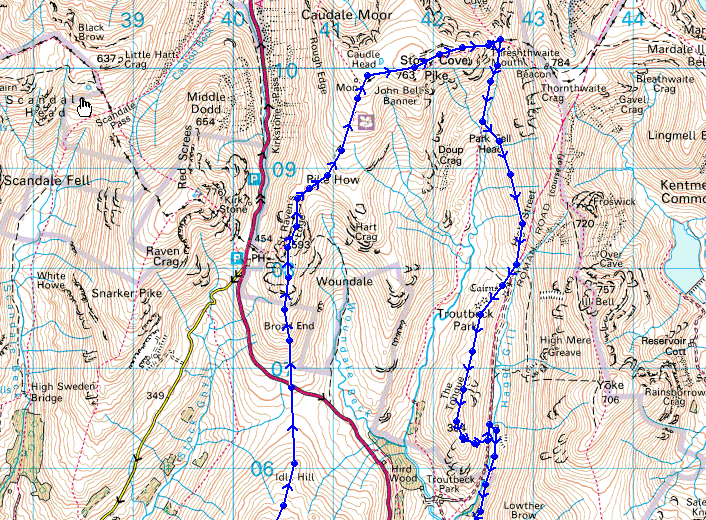
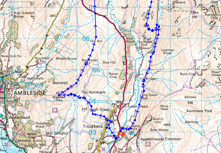
© Crown copyright. All rights reserved. License number PU 100034184.
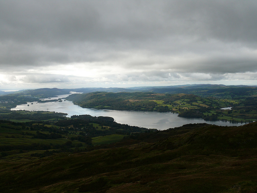
Windermere as I approach the summit of Wansfell Pike
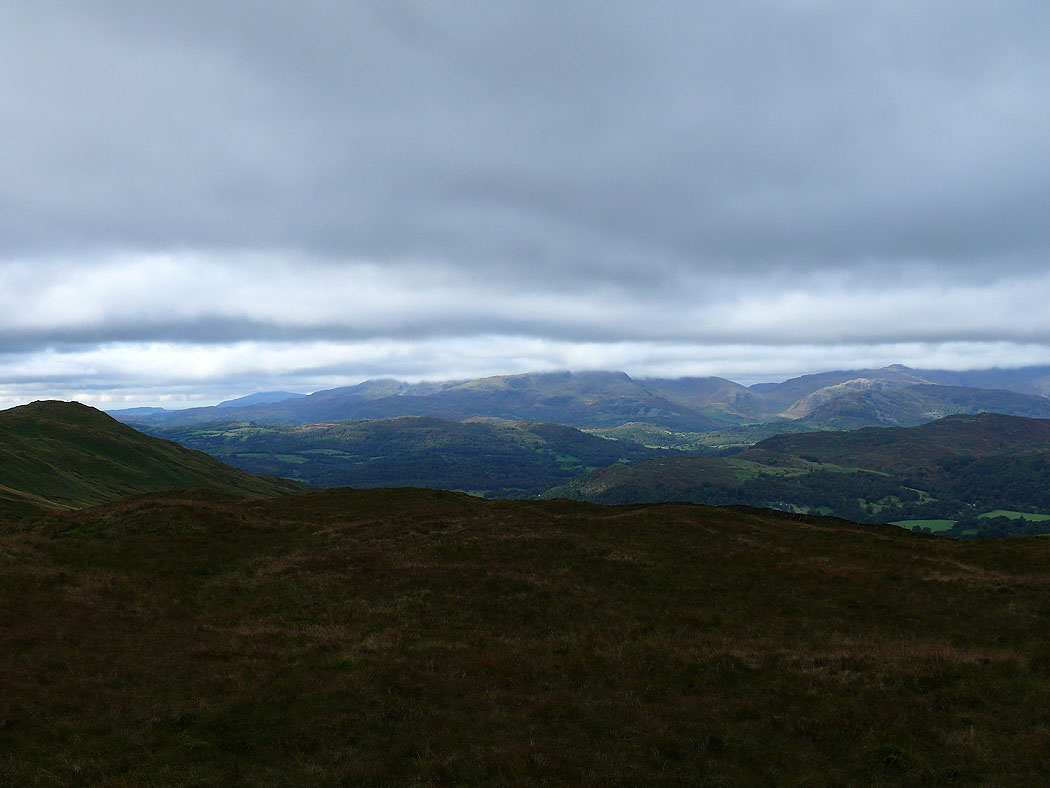
The Coniston fells under cloud
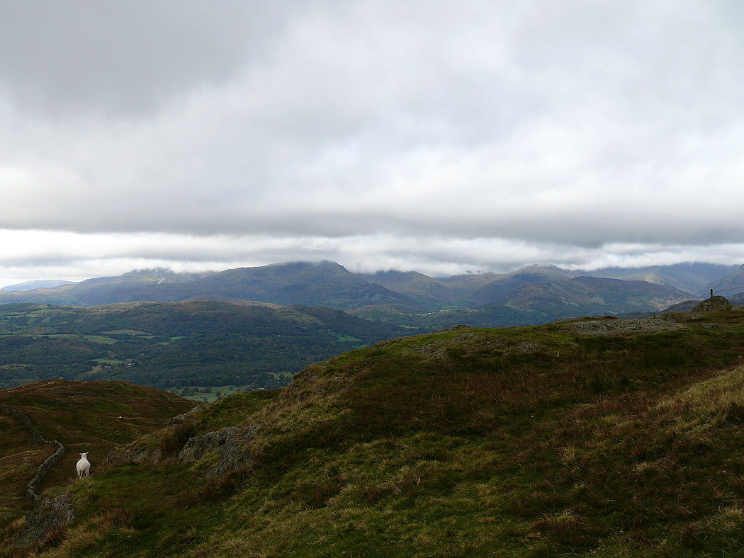
Ambleside below
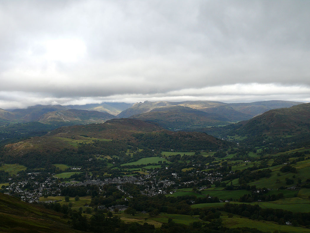
Most of the high fells are under cloud but Wetherlam is visible to the left and the outline of the Langdale Pikes are visible to the right
The view along the ridge to Baystones
The tops of Dove Crag and Red Screes in cloud
On the summit of Baystones, the Coniston fells in the distance under cloud
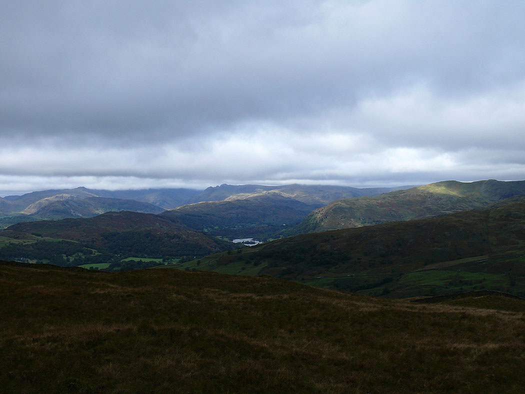
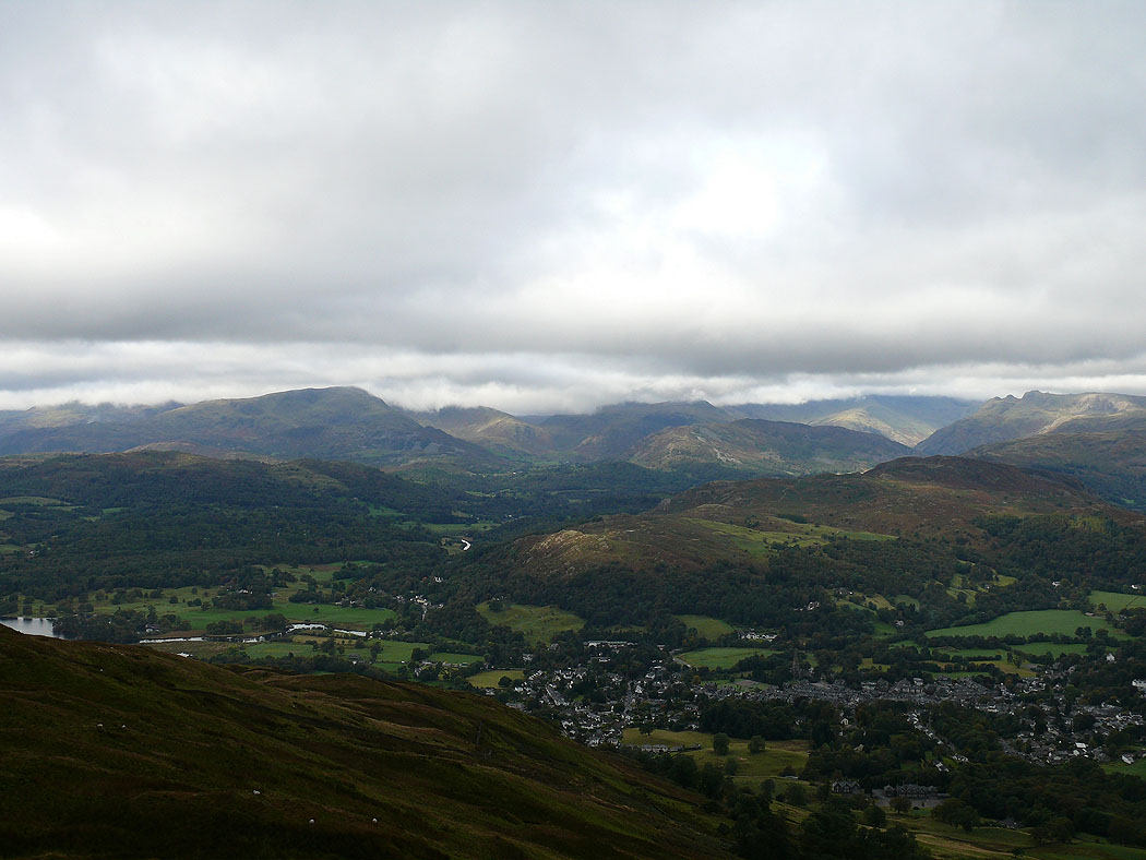
The outline of the Langdale Pikes visible and Rydal Water
Windermere
Red Screes
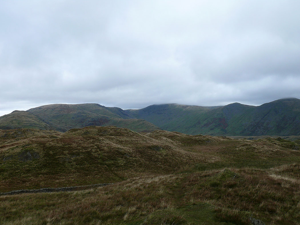
Caudale Moor, Thornthwaite Crag, Froswick and Ill Bell
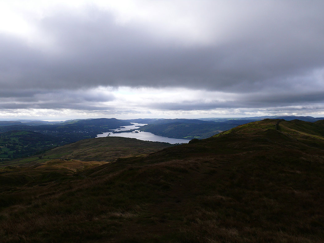
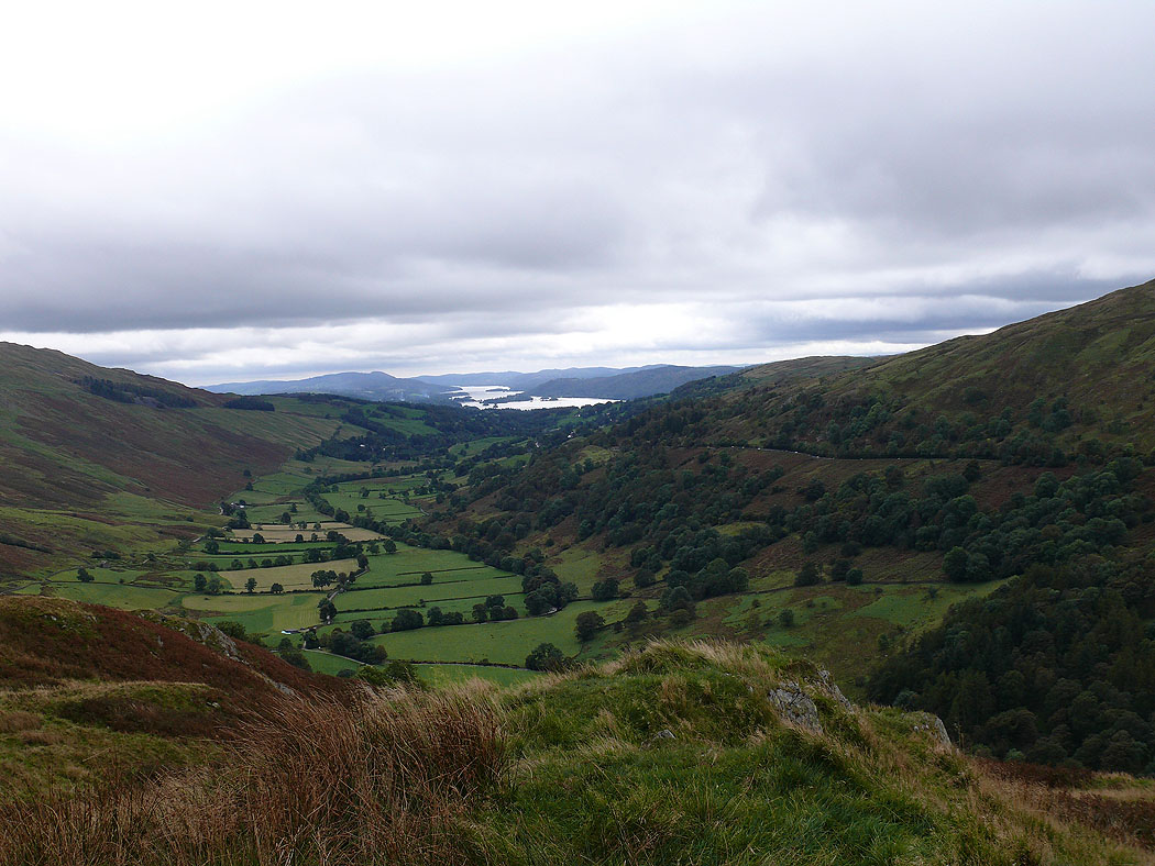
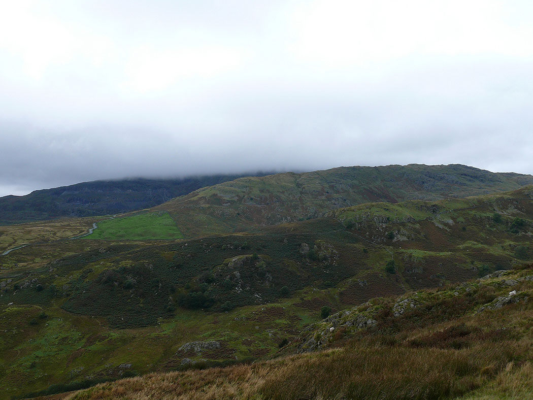
The Troutbeck valley below
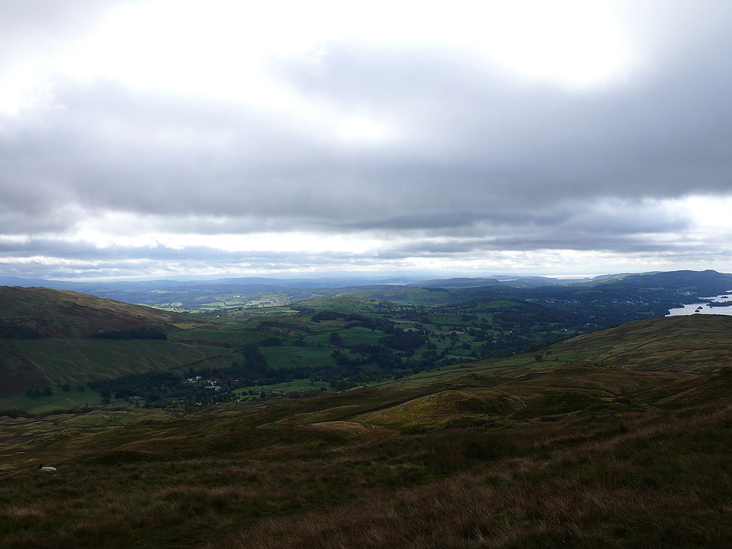
I've crossed the Kirkstone road and I'm on the way up Broad End. Wansfell and the end of Windermere.
Wansfell
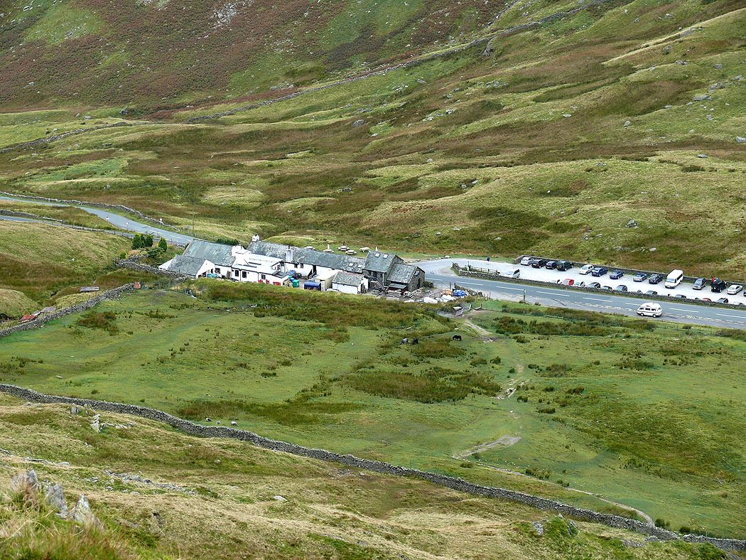
The Kirkstone Pass Inn
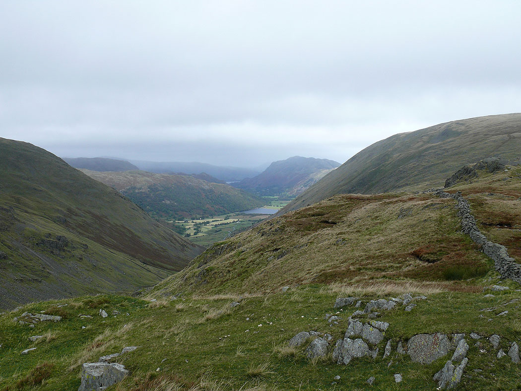
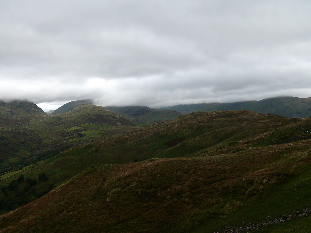
On St Raven's Edge. Place Fell and Brothers Water on the other side of the Kirkstone Pass.
Wansfell and a bit of Windermere
Froswick and Ill Bell
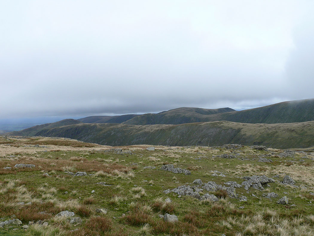
On the summit of Caudale Moor, Stony Cove Pike. Rampsgill Head and Kidsty Pike with the ridge of Gray Crag in the foreground.
Only the summit of Froswick is below the cloud
Place Fell to the north
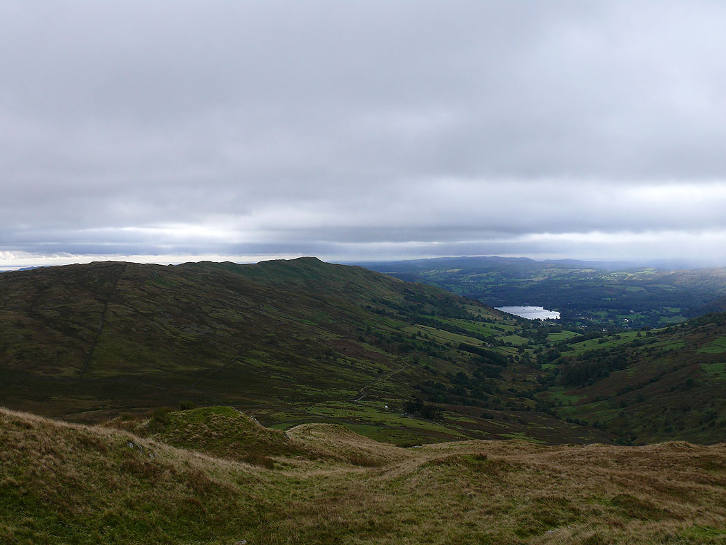
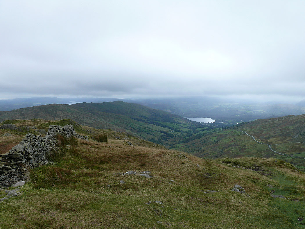
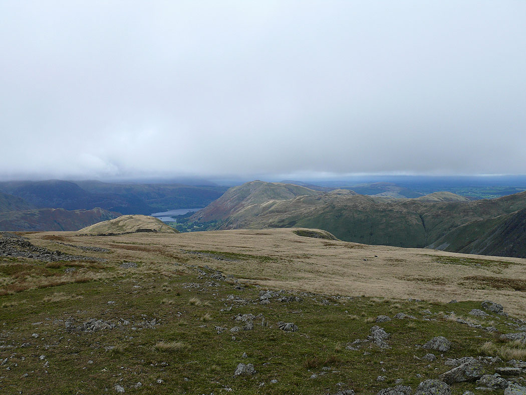
Trout Beck and Windermere from Troutbeck Tongue
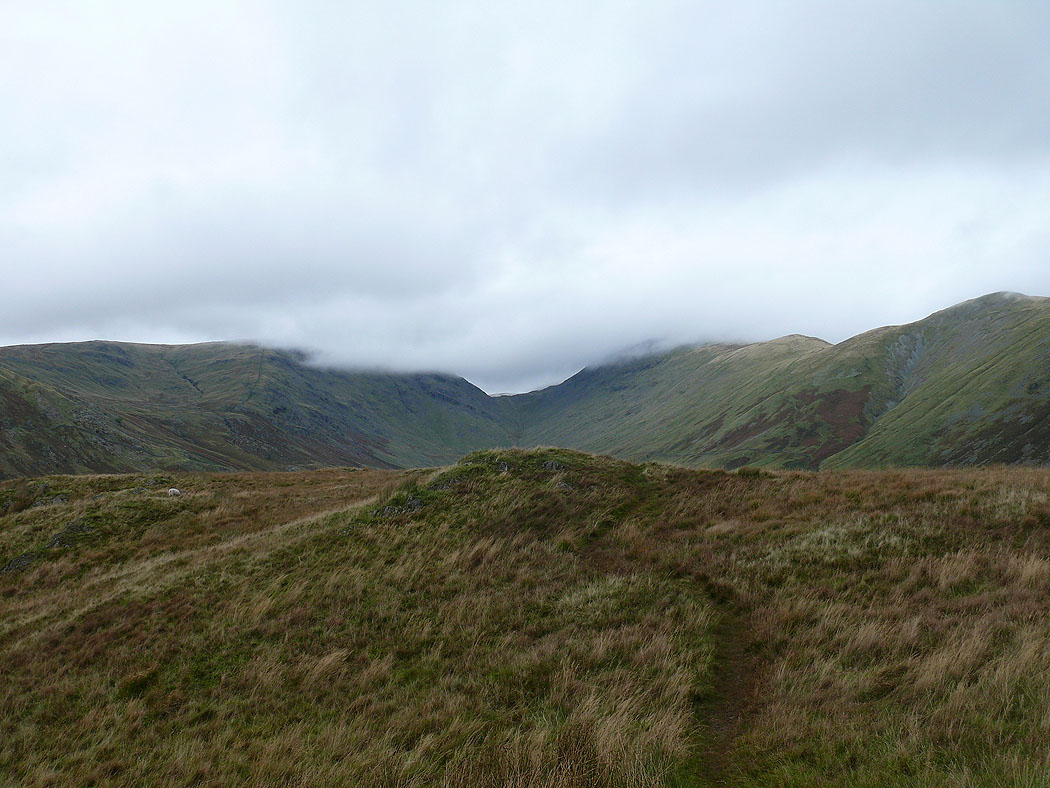
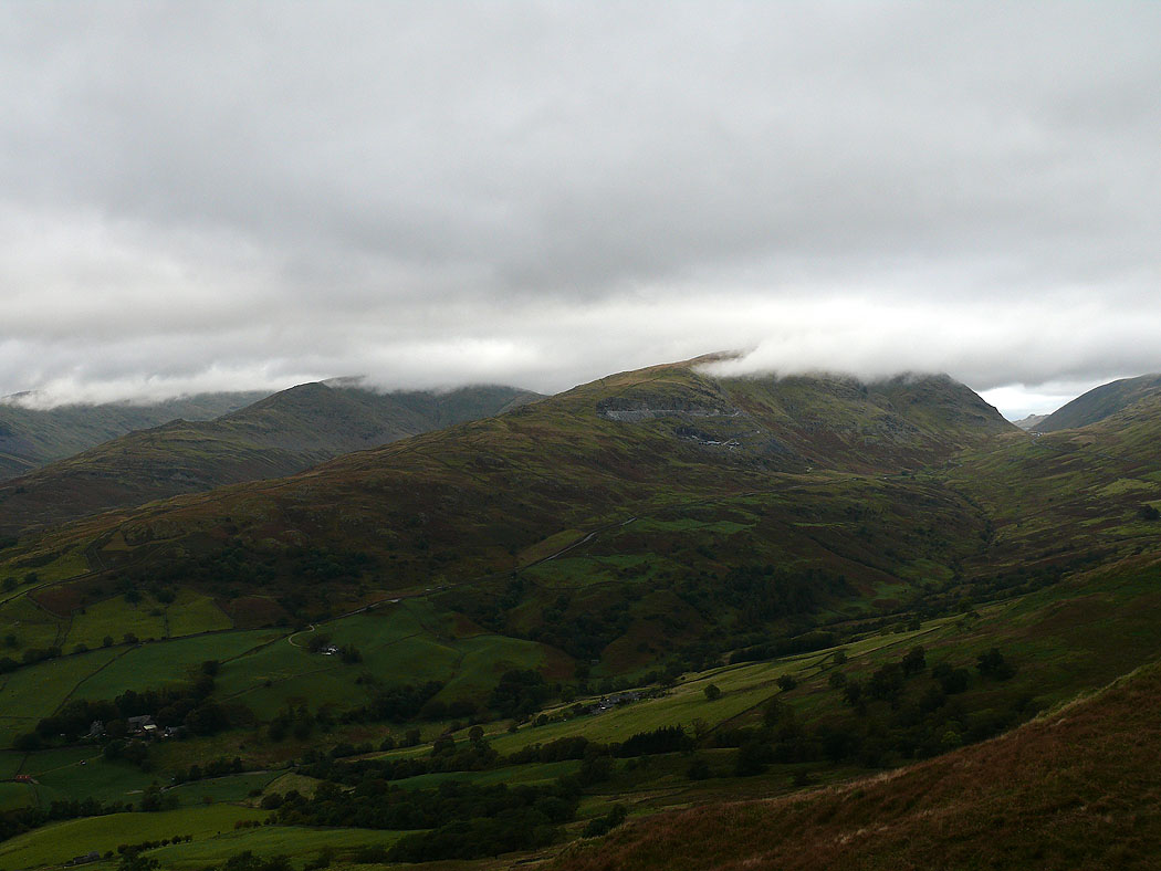
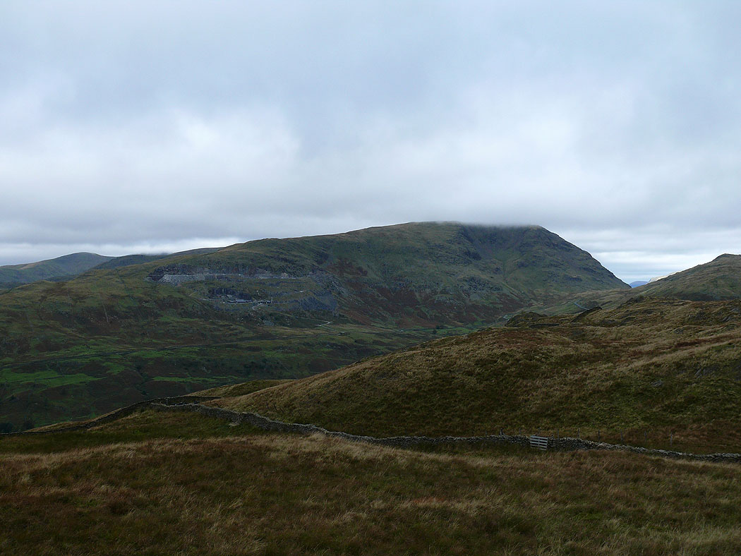
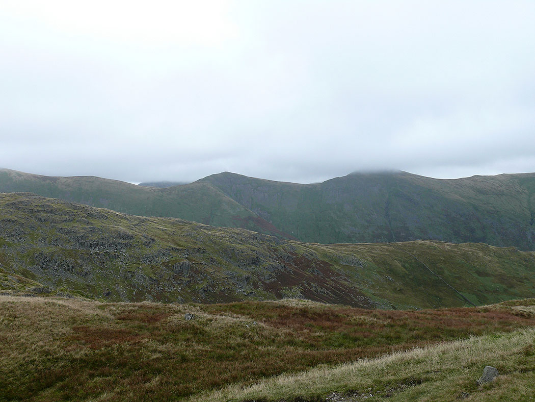
Caudale Moor, Threshthwaite Mouth and Thornthwaite Crag
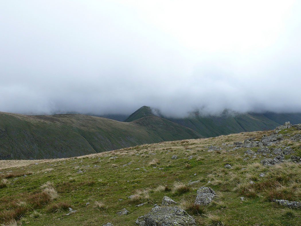
St Raven's Edge with Red Screes in cloud behind
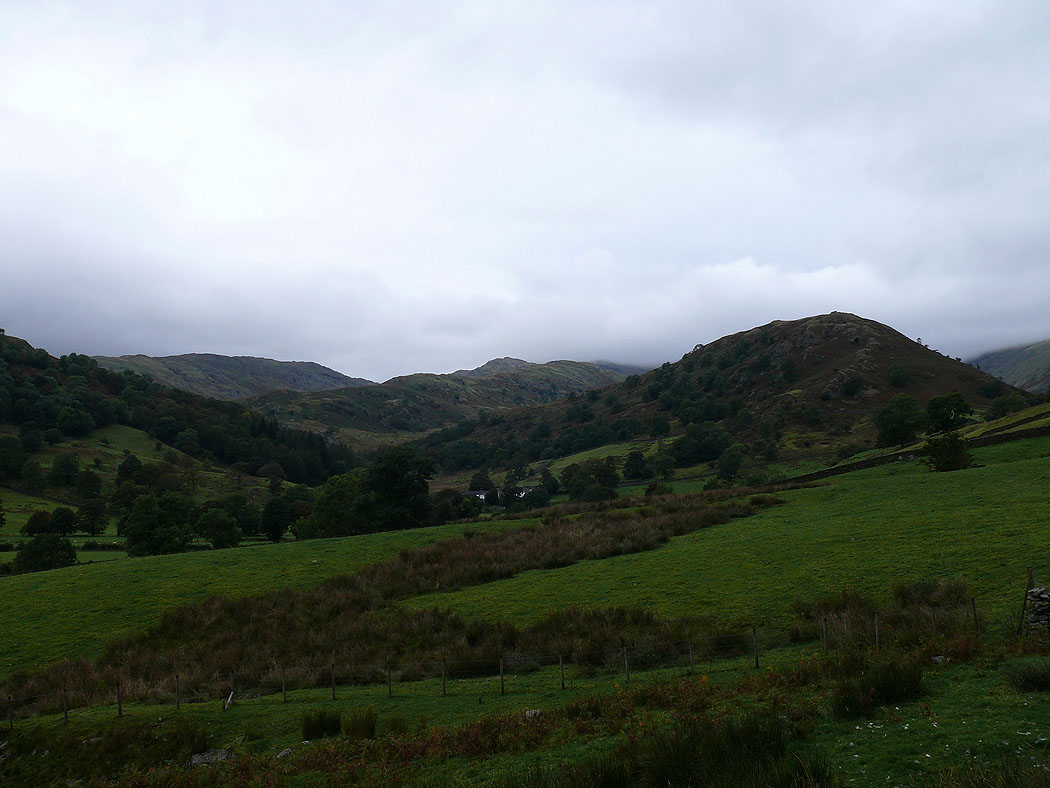
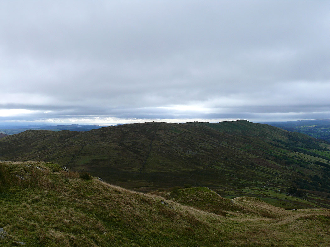
A look back to Troutbeck Tongue as I head for Troutbeck