27th September 2012 - The Eden & the Ure
Walk Details
Distance walked: 7.9 miles
Total ascent: 1049 ft
OS map used: OL19 - Howgill Fells & Upper Eden Valley
Time taken: 4.5 hrs
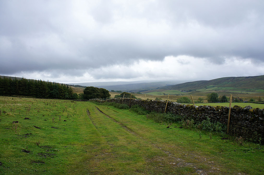
Route description: The Thrang-The High Way-Hell Gill Bridge-How Beck Bridge-Shaw Paddock-Aisgill Moor Cottages-Hellgill Force-Hellgill Farm-Hanging Lund-Elmgill Farm-Hazelgill Farm-Thrang Bridge-The Thrang
I had planned on doing a first ascent of High Seat (the highest summit on the east side of Mallerstang) today but the weather wasn't as good as forecasted so I decided to postpone it. I want good visibility to get the views to the east down into Swaledale and I don't visit this area very often so a valley walk was done instead. The rivers Eden and Ure have their sources on the same fellside but a strip of slightly higher ground means that they end up in very different places.
I parked in a small lay-by on the road through Mallerstang where The High Way starts. I then followed the High Way up to Hell Gill Bridge where I left it for another bridleway across the Ure to Shaw Paddock. This was where I turned around to head back north using field paths and bridleways.
Total ascent: 1049 ft
OS map used: OL19 - Howgill Fells & Upper Eden Valley
Time taken: 4.5 hrs
Route description: The Thrang-The High Way-Hell Gill Bridge-How Beck Bridge-Shaw Paddock-Aisgill Moor Cottages-Hellgill Force-Hellgill Farm-Hanging Lund-Elmgill Farm-Hazelgill Farm-Thrang Bridge-The Thrang
I had planned on doing a first ascent of High Seat (the highest summit on the east side of Mallerstang) today but the weather wasn't as good as forecasted so I decided to postpone it. I want good visibility to get the views to the east down into Swaledale and I don't visit this area very often so a valley walk was done instead. The rivers Eden and Ure have their sources on the same fellside but a strip of slightly higher ground means that they end up in very different places.
I parked in a small lay-by on the road through Mallerstang where The High Way starts. I then followed the High Way up to Hell Gill Bridge where I left it for another bridleway across the Ure to Shaw Paddock. This was where I turned around to head back north using field paths and bridleways.
Route map
© Crown copyright. All rights reserved. License number PU 100034184.
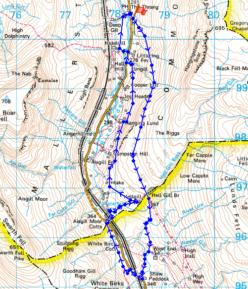
At the start of the walk and I've set off along the bridleway, The High Way
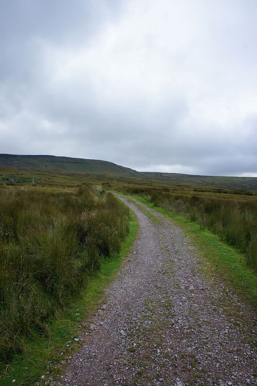
The top of Wild Boar Fell covered in cloud on the other side of the valley
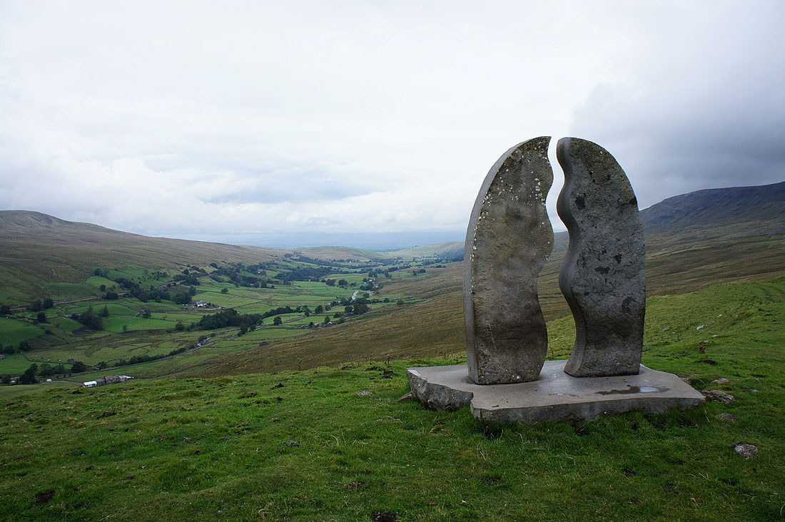
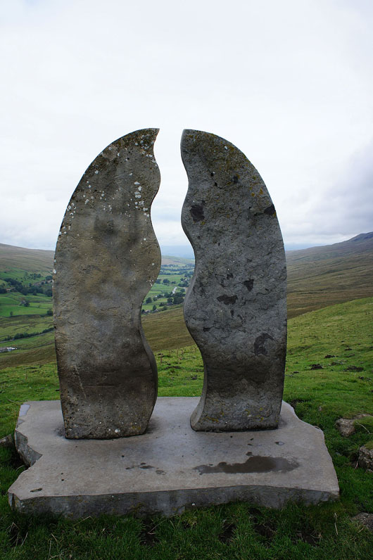
By "Water Cut", the first of the Eden Benchmarks, a set of ten stone sculptures sited along the length of the Eden from its source above Mallerstang to where it enters the sea at Rockcliffe just north of Carlisle. Click on the link above to find out more.
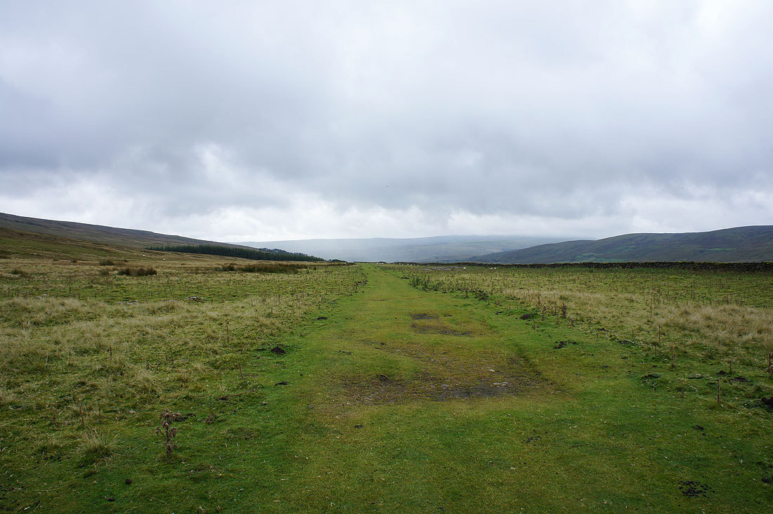
On the High Way
Approaching Hell Gill Bridge, it's in the trees ahead. Looking over the bridge, the ravine of Hell Gill is very deep, maybe about 100 ft. I didn't take a picture, it would have been difficult to get it in the shot with it being surrounded by trees and so dark. This is where I decided to postpone my ascent of High Seat and do a valley walk.
The infant River Ure and How Beck Bridge
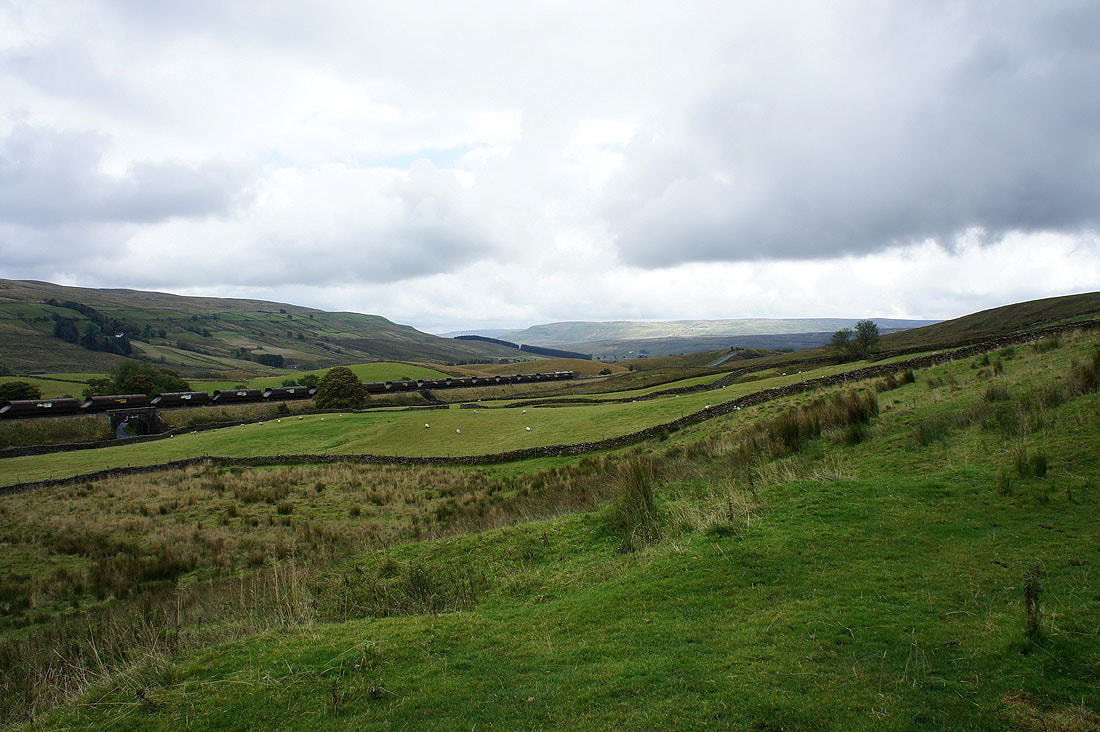
Freight train on the Settle-Carlisle line
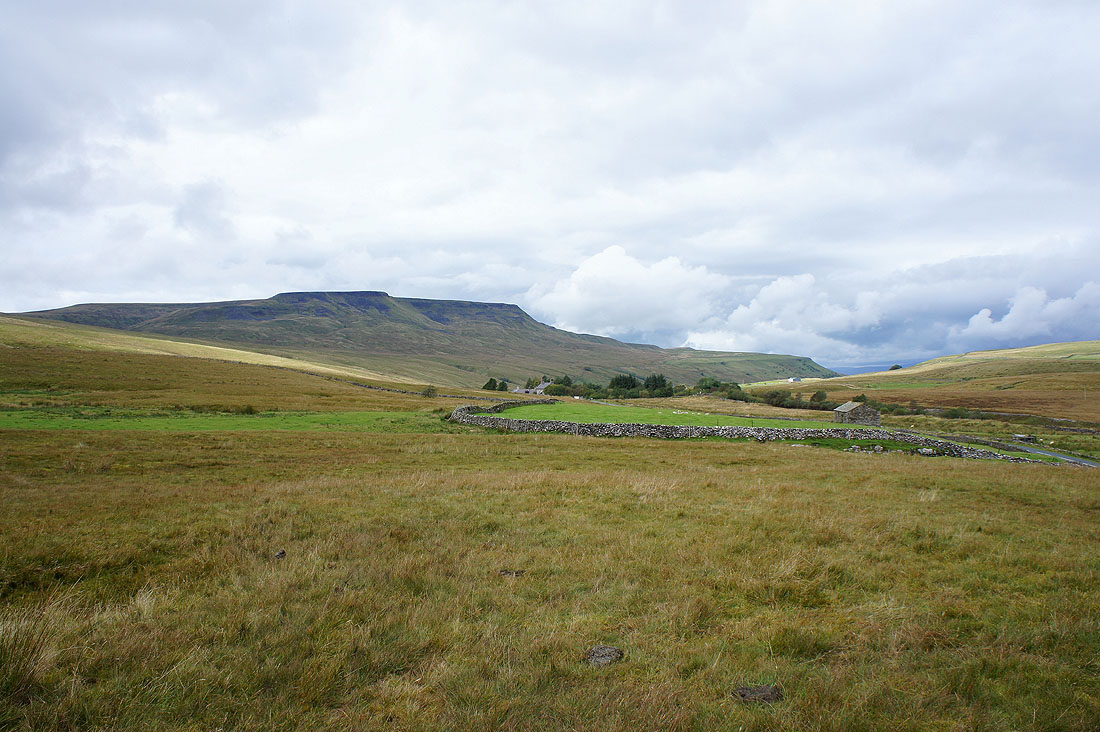
Wild Boar Fell ahead. I'm briefly on the other side of the valley until I reach Aisgill Moor Cottages where I'll cross the S-C line to then follow the Eden back to the start.
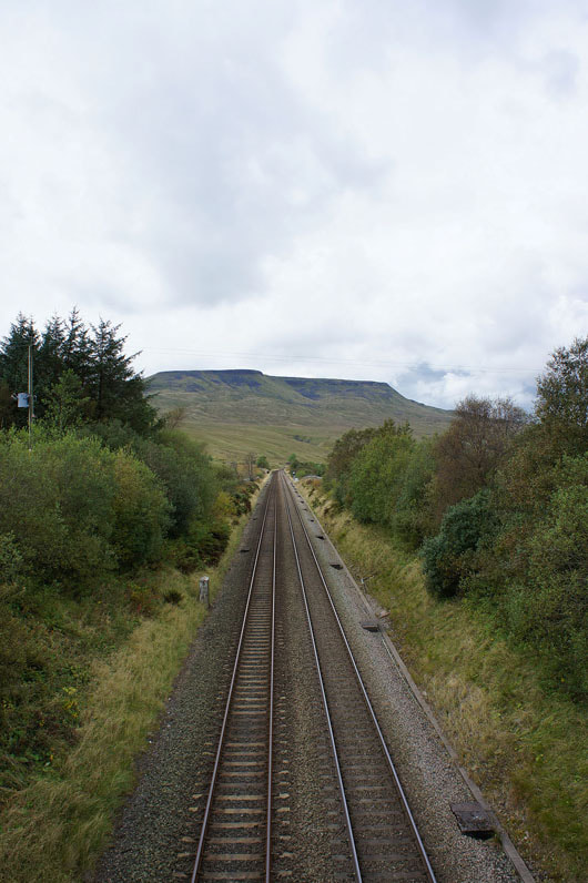
Crossing the Settle to Carlisle line
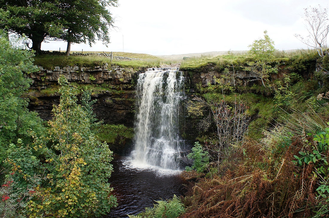
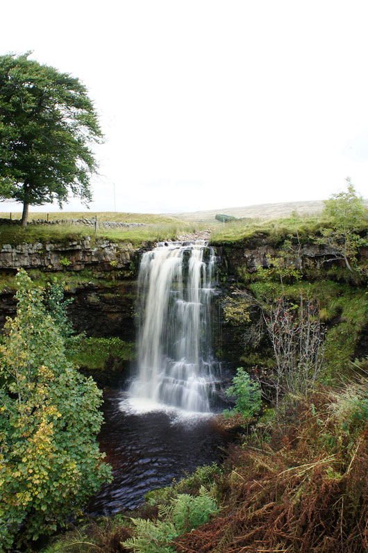
Hellgill Force. Hell Gill becomes the River Eden not far downstream.
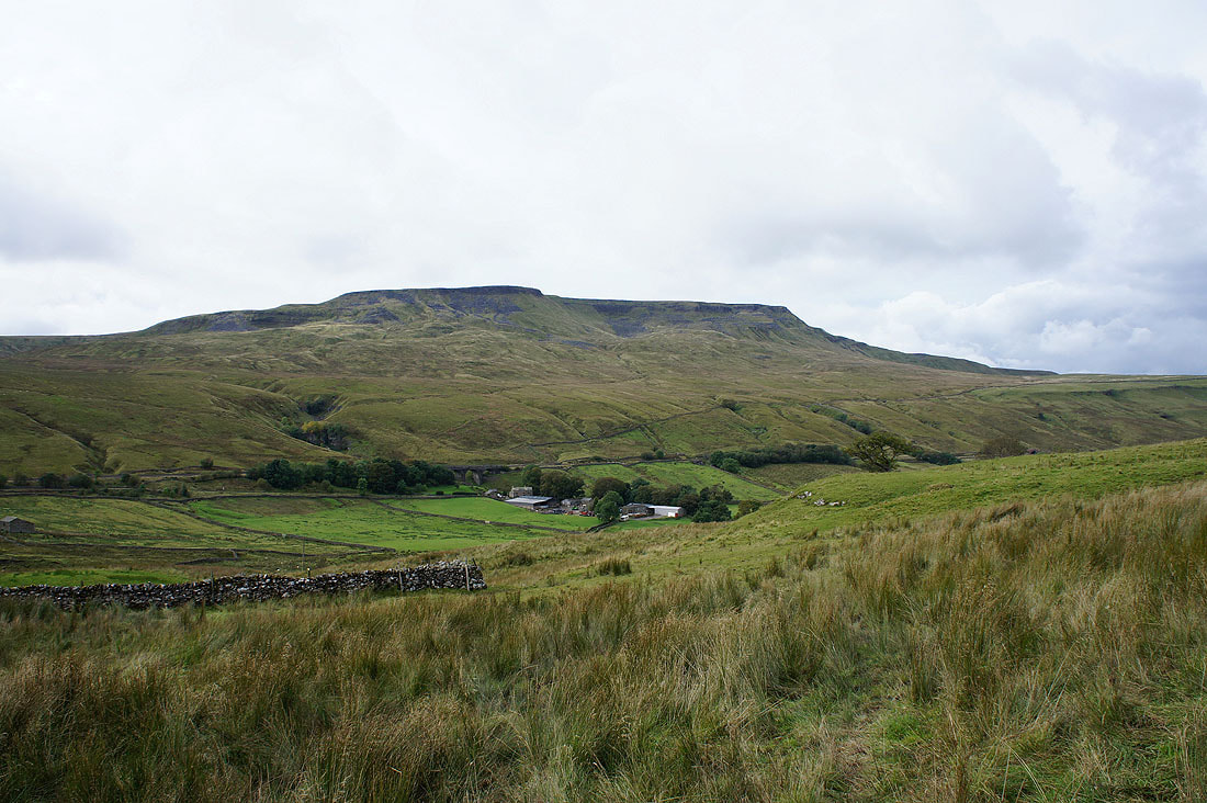
Wild Boar Fell on the other side of the valley
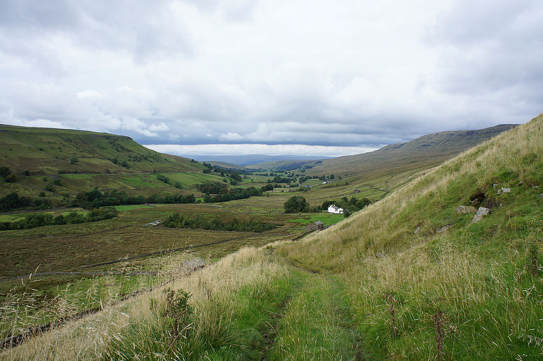
Heading up Mallerstang
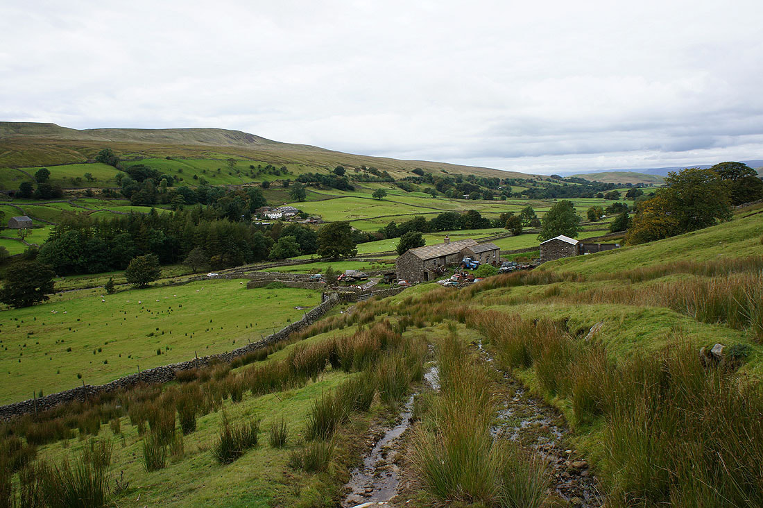
Down to Elmgill
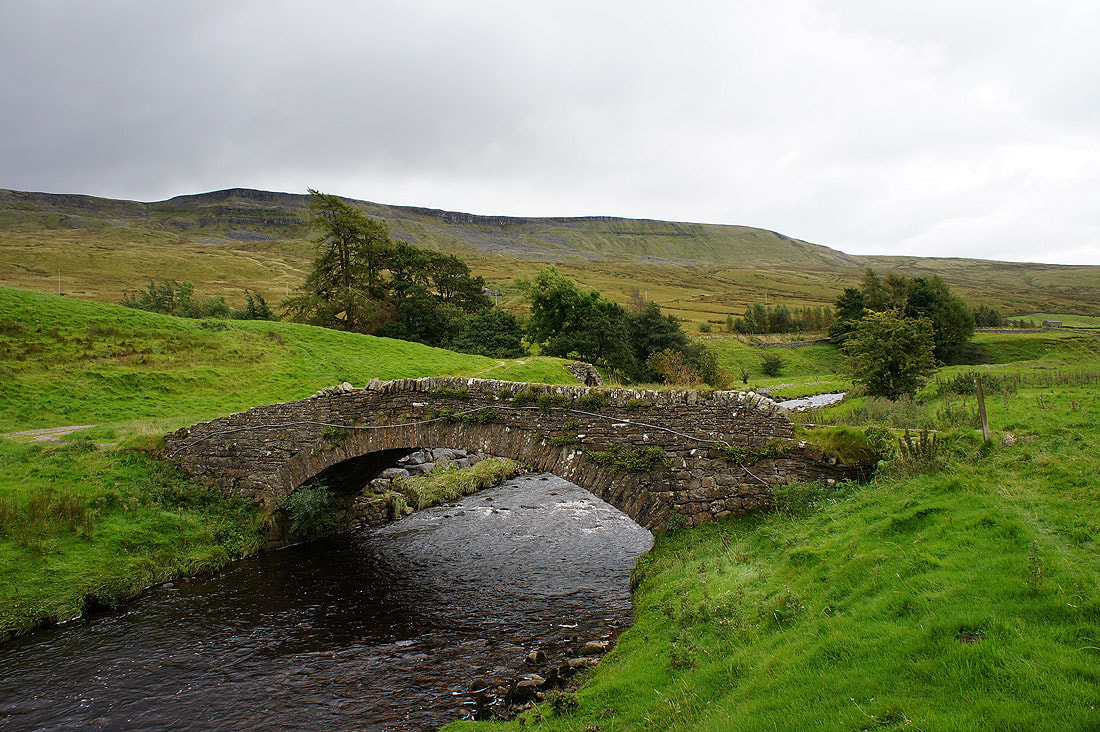
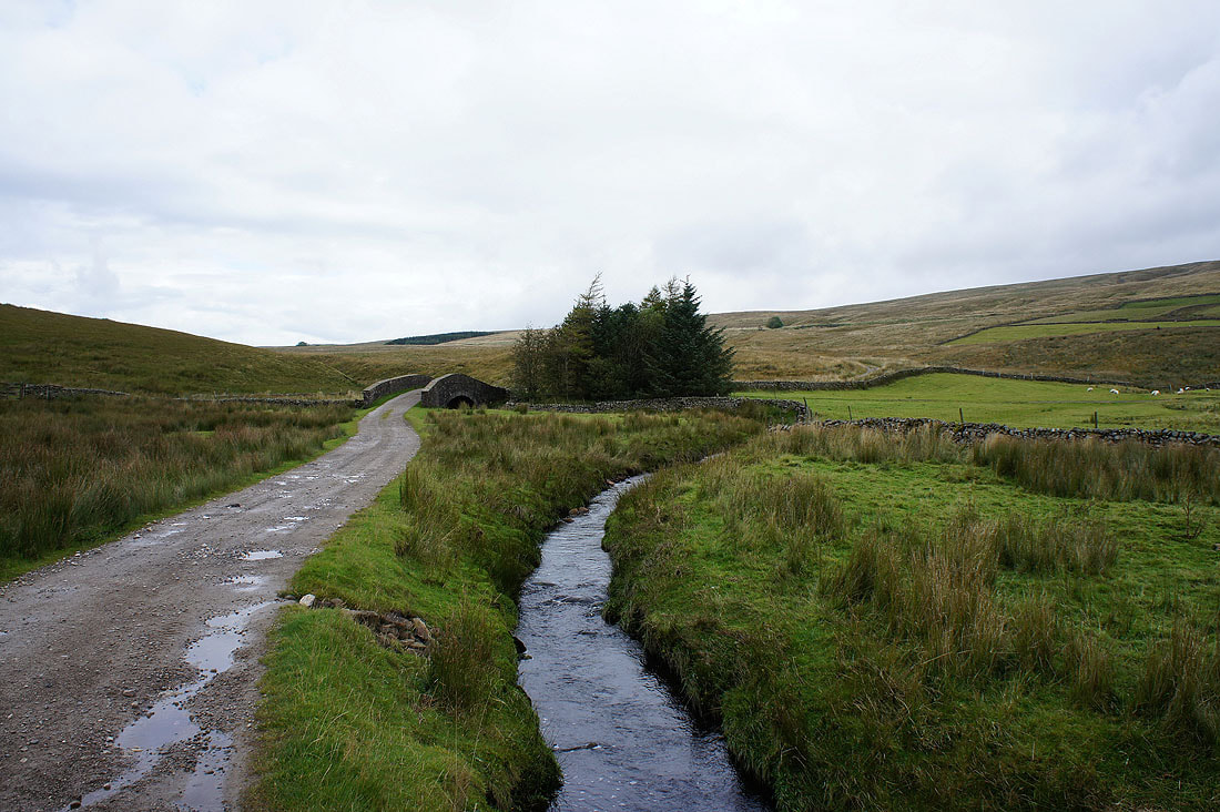
Thrang Bridge over the Eden
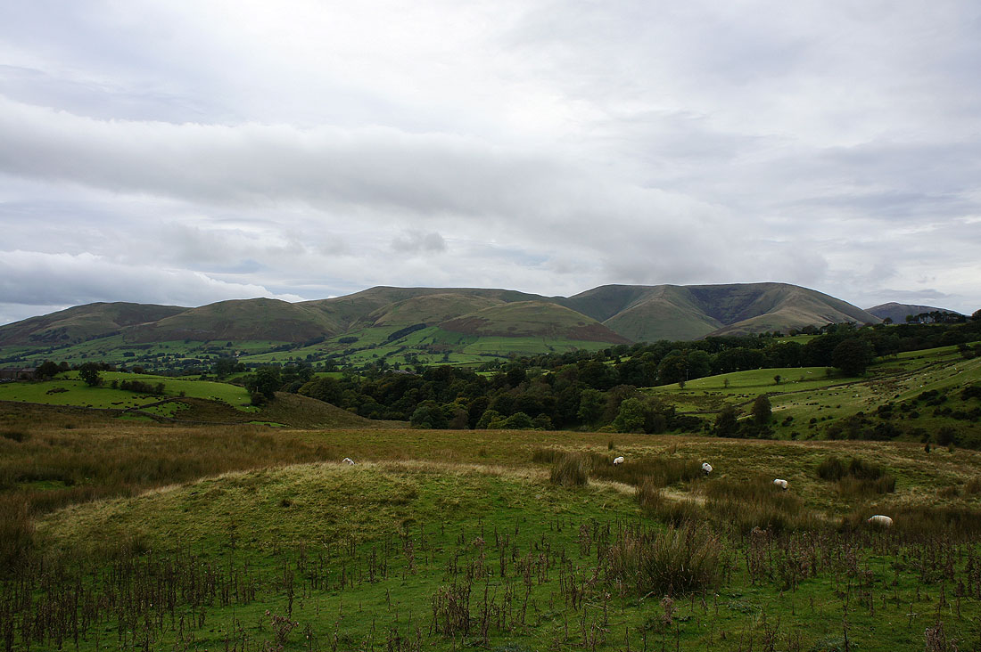
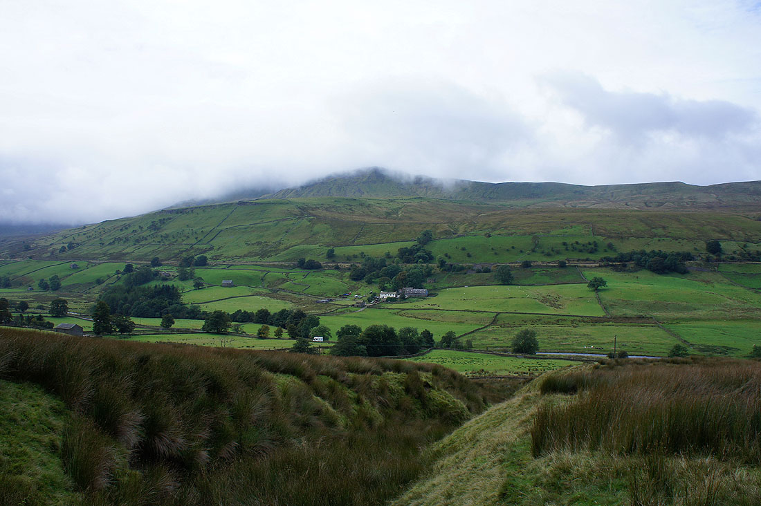
On the way home and I stopped at a lay-by on the A684 just outside Sedbergh to take a picture of the Howgill Fells.