27th September 2014 - Along Kinder's Southern Edge
Walk Details
Distance walked: 9.0 miles
Total ascent: 1959 ft
OS map used: OL1 - The Peak District, Dark Peak area
Time taken: 5 hrs
Route description: Edale-Grindsbrook Booth-The Nab-Ringing Roger-Nether Tor-Upper Tor-Crowden Tower-Wool Packs-Swine's Back-Jacob's Ladder-Upper Booth-Pennine Way-Edale
The forecast was for a mostly fine day but depending on which you looked at there was a chance of hill fog and drizzle, the Met Office one said there was no chance. Anyway it was worse than any predicted with a spell of hill fog and heavy drizzle that lasted for a couple of hours on Kinder Scout. It's been three years since I last did a walk from Edale (it doesn't feel that long ago), so it was good to be back and I took the opportunity to visit the Penny Pot Cafe for a pre-walk snack and cup of tea.
From the car park in Edale I made my way through the village to Grindsbrook Booth. I then took the path down and across Grinds Brook. Instead of taking the path up Grindsbrook Clough I turned right and made my way up The Nab and to the rocks of Ringing Roger. I then walked along the edge of the moor past Nether Tor, Upper Tor, the tops of Grindsbrook and Crowden Clough to reach Crowden Tower. It was this bit of the walk that had the inclement weather. After having lunch at Crowden Tower I walked through the Wool Packs and past Noe Stool to reach the Pennine Way at Swine's Back. I then followed the Pennine Way down Jacob's Ladder and through Upper Booth back to Edale.
Route map
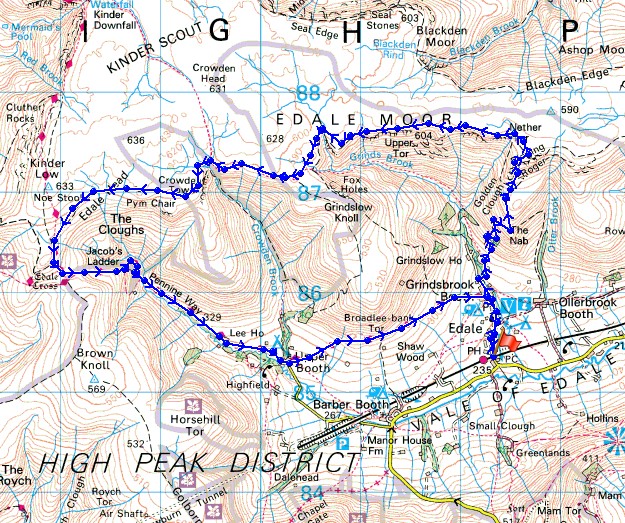
© Crown copyright. All rights reserved. License number PU 100034184.
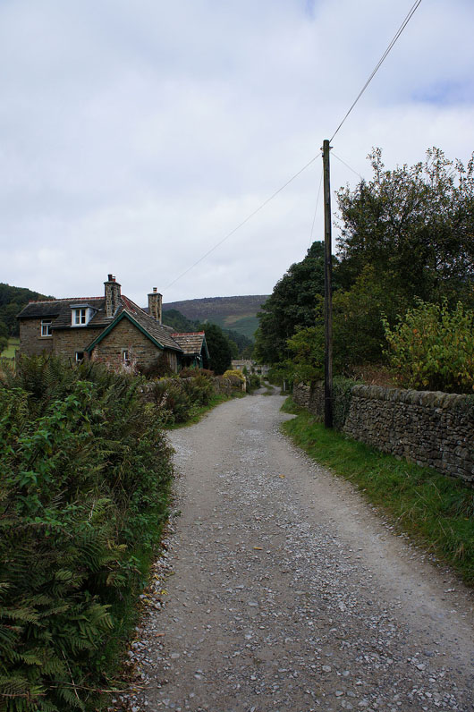
I've walked past the Nag's Head and I'm on the track through Grindsbrook Booth
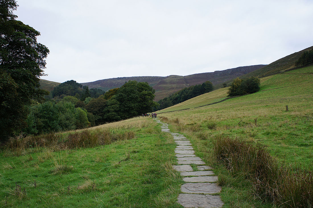
Over Grinds Brook and on the path up Grindsbrook Clough. Not for long though, I'm going to head uphill to the right for the path up The Nab to Ringing Roger.
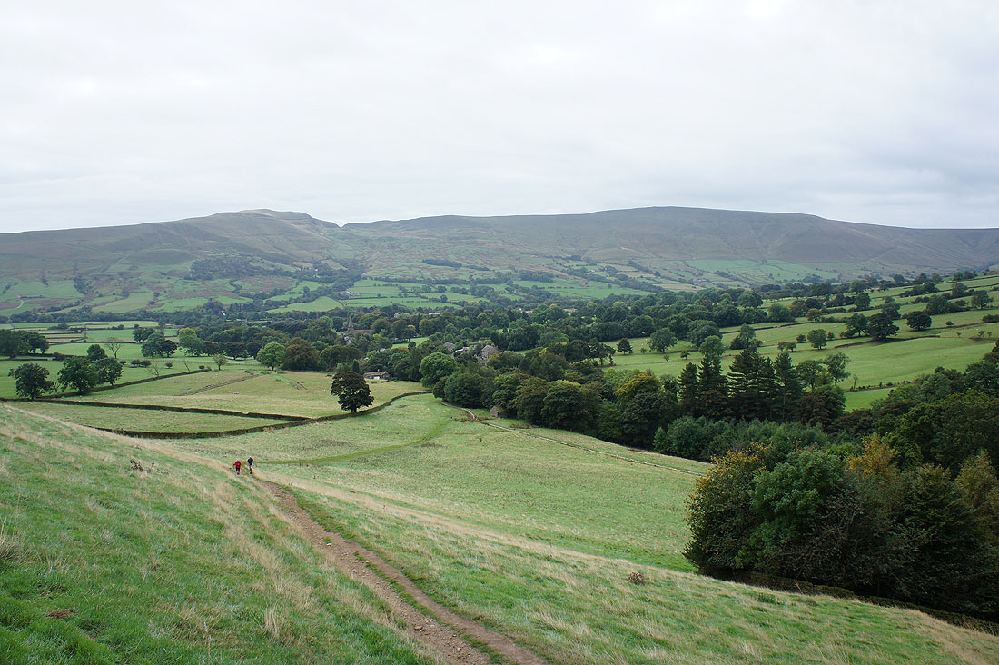
Looking back down to Edale and across the valley to Mam Tor and Lord's Seat. The skies have clouded over and it's starting to turn quite gloomy.
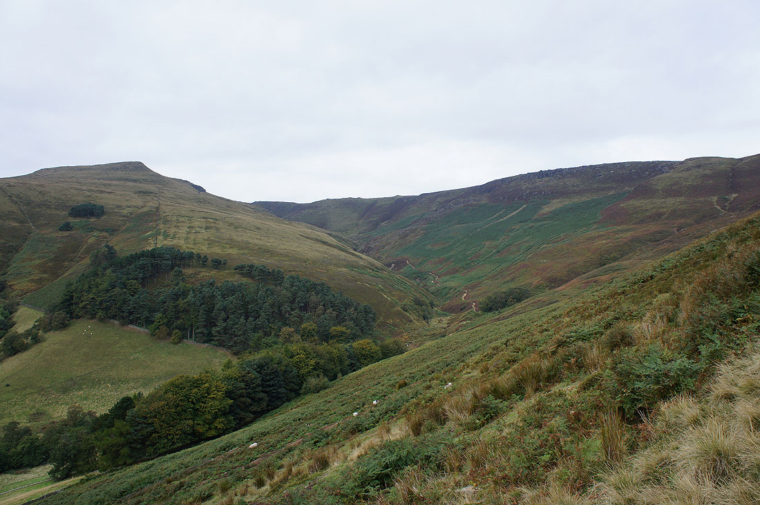
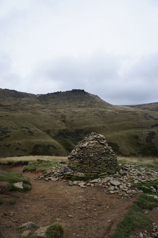
Grindslow Knoll, Grindsbrook Clough and Upper Tor
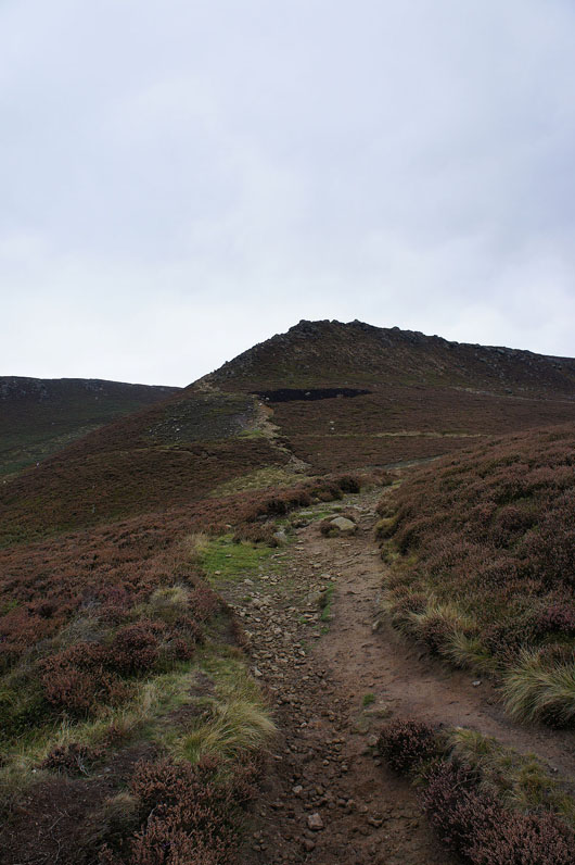
The rocks of Ringing Roger appear ahead
Win Hill and Lose Hill from Ringing Roger. There are some spits of drizzle in the air.
Onto the edge path past Nether Tor
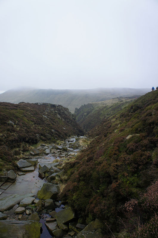
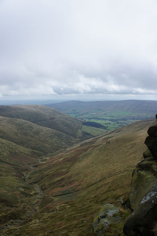
Passing the top of one of the craggy side valleys at the top of Grindsbrook Clough
Grindsbrook Clough is below on the left and cloud is now covering the top of Grindslow Knoll. It's started to drizzle quite heavily so camera away for now.
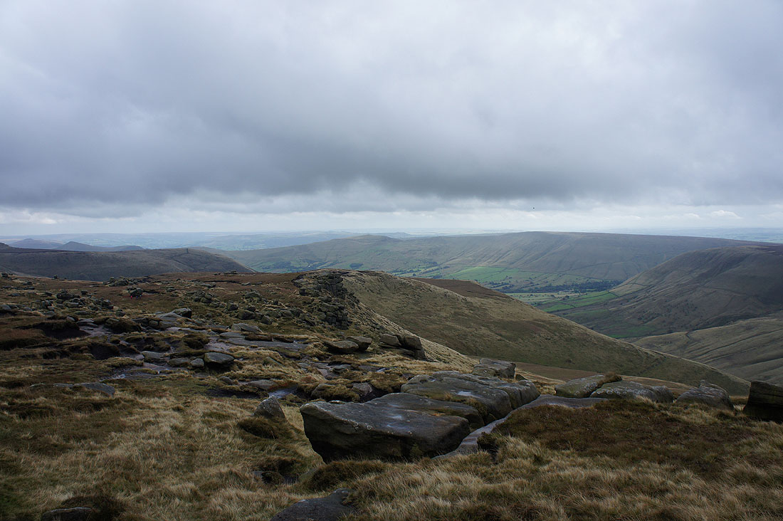
I decided to have my lunch here, at Crowden Tower where I could sit in the lee of boulders and out of the wind and drizzle. It was also here that the cloud lifted and it started to brighten up a little with patches of sun across Edale.
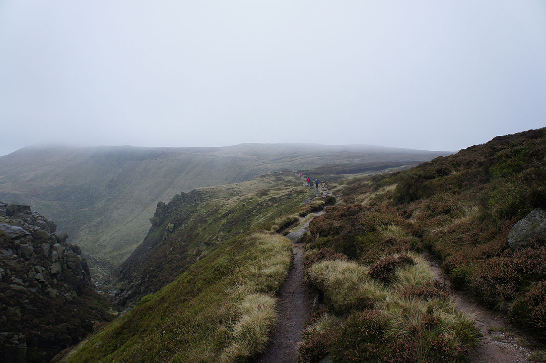
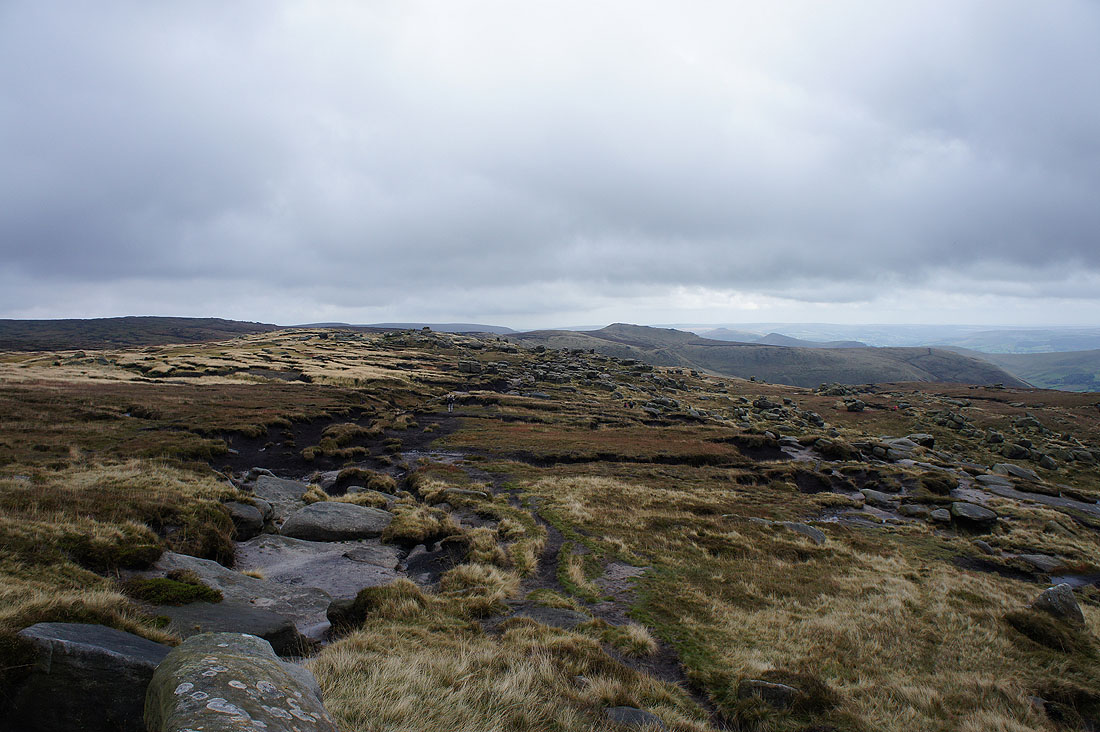
The onward route towards the Wool Packs..
..and looking down Crowden Clough
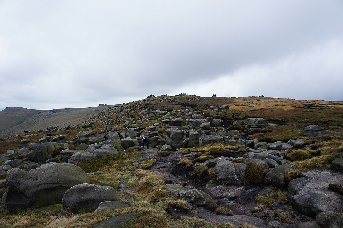
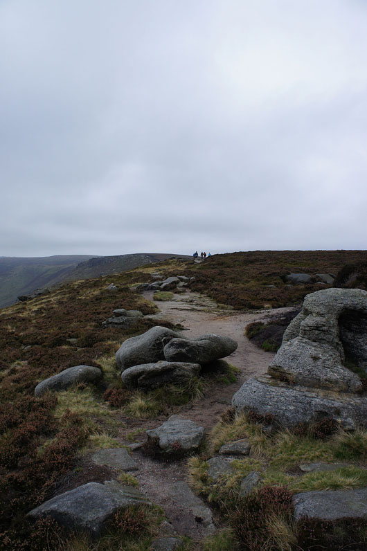
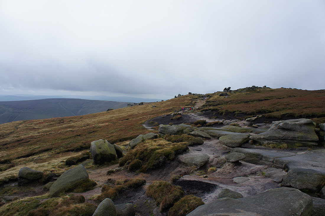
Heading through the Wool Packs
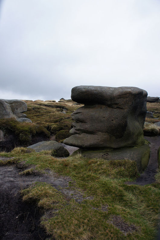
Looking for shapes in the rocks
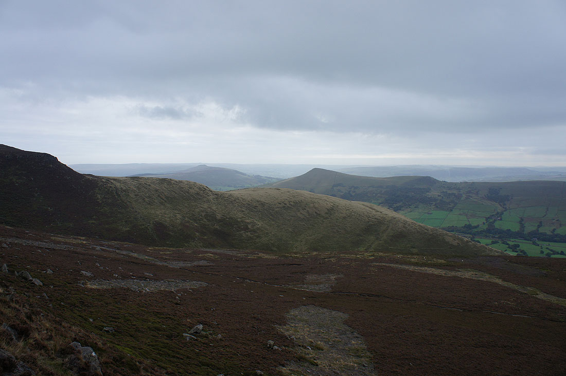
and looking back to the Wool Packs and beyond to Grindslow Knoll
Looking across Edale to Mam Tor and Lord's Seat
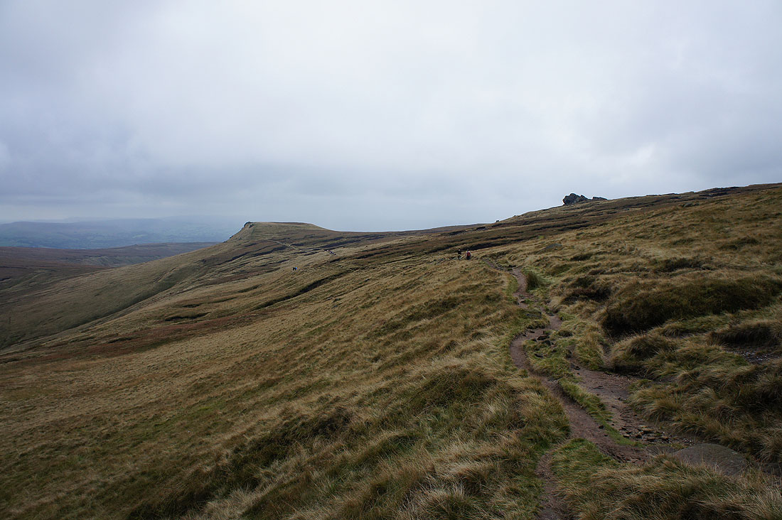
Heading towards Swine's Back
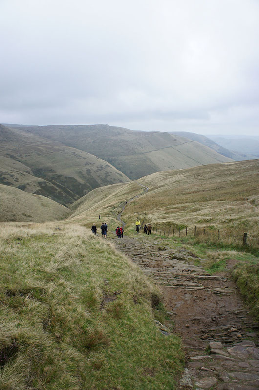
and onto the Pennine Way down Jacob's Ladder
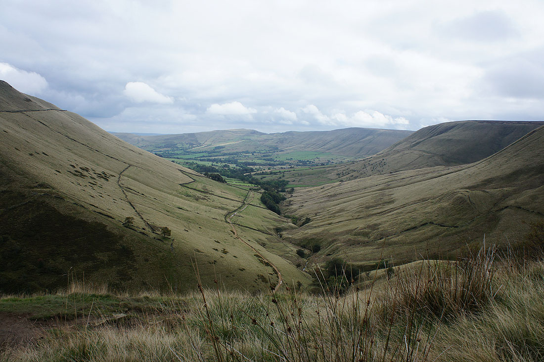
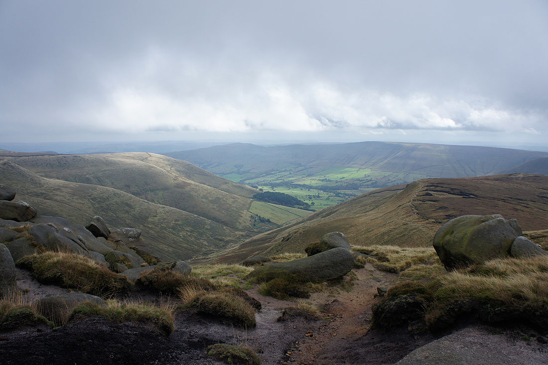
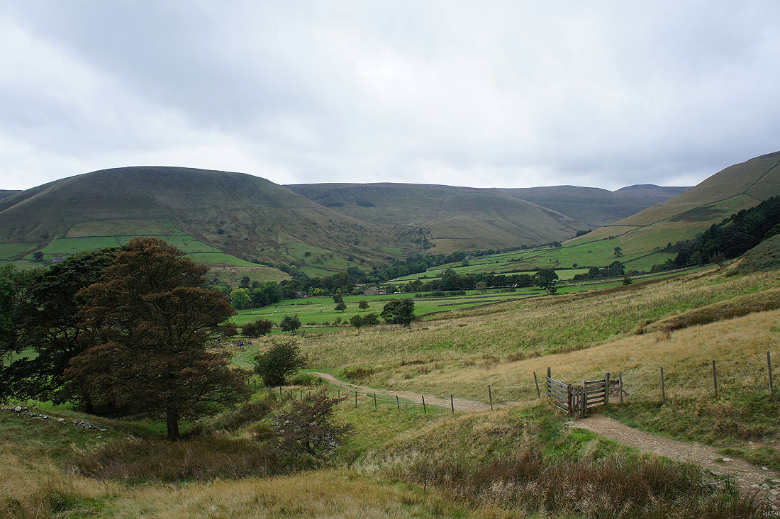
The valley of the infant River Noe and the Vale of Edale
The Wool Packs above
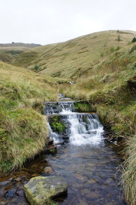
A moody shot of the brook by the footbridge at the bottom of Jacob's Ladder
Looking back to Horsehill Tor, Upper Booth and Brown Knoll as I follow the Pennine Way back to Edale
Mam Tor
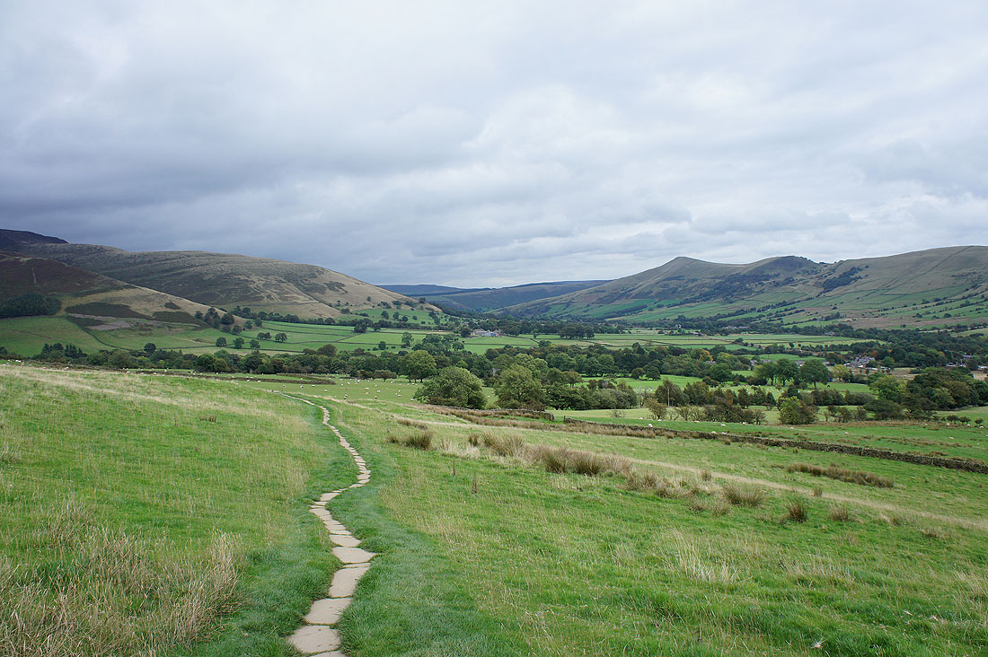
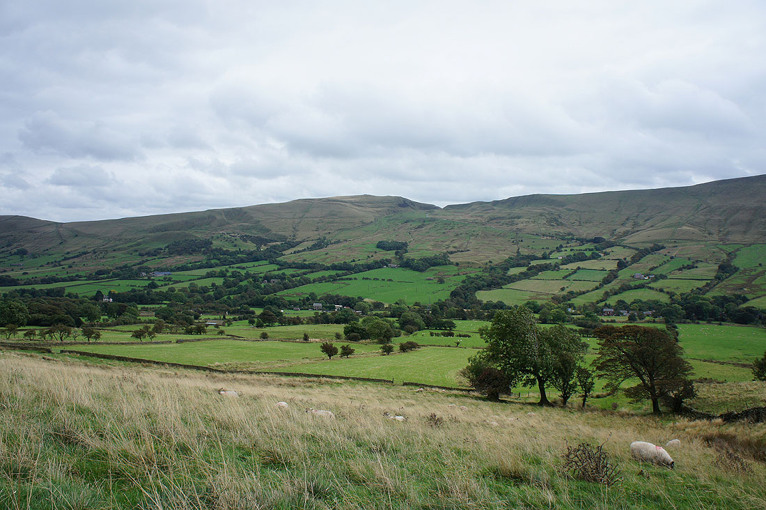
The Vale of Edale and Lose Hill
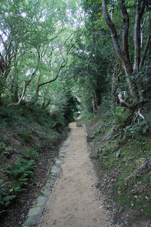
Down the tree-lined path and I'll be back in Edale