27th September 2015 - High Seat & Mallerstang Edge
Walk Details
Distance walked: 11.3 miles
Total ascent: 2070 ft
OS map used: OL19 - Howgill Fells & Upper Eden Valley
Time taken: 6.5 hrs
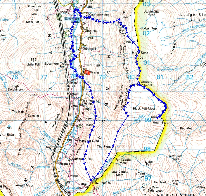
Route description: The Thrang, B6259-Lady Anne's Way-Hell Gill Bridge-The Riggs-Hangingstone Scar-High Loven Scar-Gregory Chapel-Hugh Seat-Gregory Chapel-High Seat-Lindrigg Scars-Castlethwaite-B6259-Castle Bridge-Shoregill-Thrang Bridge-The Thrang, B6259
Three years after my last visit to Mallerstang and I'm finally back to do the walk that I'd intended to do the previous time I was here. When I arrived in Mallerstang three years ago the weather wasn't as forecast. The top halves of the fells were in cloud and although I gave it time to improve I reached the point where I had to make a decision. Head up into the cloud or change my route and leave the felltops for another day. I decided on the latter and did a walk that explored the valley floor around the infant rivers Eden and Ure. This time there's a perfect day forecast and it turned out to be true. When the weather is as good as it was today I think this sort of terrain has to be my favourite. Wide open spaces and more of a feeling of solitude than other locations have.
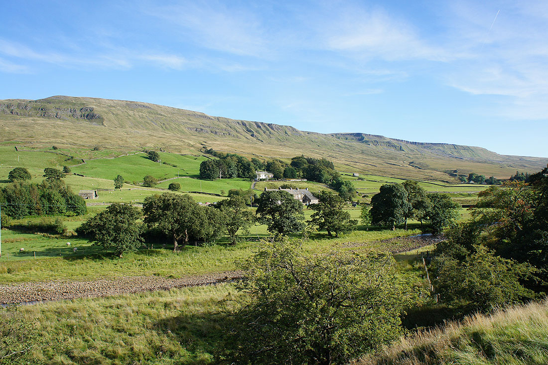
From the layby at The Thrang on the B6259 I set off by taking the byway of Lady Anne's Way. This route is named after Lady Anne Clifford who owned vast estates in Westmorland during the 17th century. She travelled regularly between her castles, many of which are now in ruins and this route takes them in. Starting at Skipton Castle it heads north through Wharfedale, across to Wensleydale and Hawes, north through Mallerstang and then down the Eden Valley to Penrith. I've included a link to the official website for the route. When I reached Hell Gill Bridge I left Lady Anne's Way to head up the rough terrain of The Riggs by Hell Gill Beck. As Hell Gill Beck became Red Gill I left it behind to make my way to Hangingstone Scar. There were great views from this as I followed it up to High Loven Scar and the summit of Gregory Chapel. After having lunch here I decided to do a there and back to the next top along the high ground to the south, Hugh Seat. I'd made good progress so far and it would probably be some time before I had another chance to visit it. Once back on Gregory Chapel I made my way north to the high point of the walk, High Seat. I then had to decide on a route of descent. Looking at the map the ground to the north of Lindrigg Scars and down by Gale Sike looked safe enough. It was steep but I made it down safely to reach the bridleway to Castlethwaite and the road by Pendragon Castle. You can't actually get up close to the ruins, there are signs saying no access (probably a good idea) but I could see them well enough as I followed the road down to and over Castle Bridge. I then took the footpath on the left that heads up Mallerstang past Shoregill to arrive at Thrang Bridge. After crossing the bridge I had a short walk uphill to where I was parked.
Total ascent: 2070 ft
OS map used: OL19 - Howgill Fells & Upper Eden Valley
Time taken: 6.5 hrs
Route description: The Thrang, B6259-Lady Anne's Way-Hell Gill Bridge-The Riggs-Hangingstone Scar-High Loven Scar-Gregory Chapel-Hugh Seat-Gregory Chapel-High Seat-Lindrigg Scars-Castlethwaite-B6259-Castle Bridge-Shoregill-Thrang Bridge-The Thrang, B6259
Three years after my last visit to Mallerstang and I'm finally back to do the walk that I'd intended to do the previous time I was here. When I arrived in Mallerstang three years ago the weather wasn't as forecast. The top halves of the fells were in cloud and although I gave it time to improve I reached the point where I had to make a decision. Head up into the cloud or change my route and leave the felltops for another day. I decided on the latter and did a walk that explored the valley floor around the infant rivers Eden and Ure. This time there's a perfect day forecast and it turned out to be true. When the weather is as good as it was today I think this sort of terrain has to be my favourite. Wide open spaces and more of a feeling of solitude than other locations have.
From the layby at The Thrang on the B6259 I set off by taking the byway of Lady Anne's Way. This route is named after Lady Anne Clifford who owned vast estates in Westmorland during the 17th century. She travelled regularly between her castles, many of which are now in ruins and this route takes them in. Starting at Skipton Castle it heads north through Wharfedale, across to Wensleydale and Hawes, north through Mallerstang and then down the Eden Valley to Penrith. I've included a link to the official website for the route. When I reached Hell Gill Bridge I left Lady Anne's Way to head up the rough terrain of The Riggs by Hell Gill Beck. As Hell Gill Beck became Red Gill I left it behind to make my way to Hangingstone Scar. There were great views from this as I followed it up to High Loven Scar and the summit of Gregory Chapel. After having lunch here I decided to do a there and back to the next top along the high ground to the south, Hugh Seat. I'd made good progress so far and it would probably be some time before I had another chance to visit it. Once back on Gregory Chapel I made my way north to the high point of the walk, High Seat. I then had to decide on a route of descent. Looking at the map the ground to the north of Lindrigg Scars and down by Gale Sike looked safe enough. It was steep but I made it down safely to reach the bridleway to Castlethwaite and the road by Pendragon Castle. You can't actually get up close to the ruins, there are signs saying no access (probably a good idea) but I could see them well enough as I followed the road down to and over Castle Bridge. I then took the footpath on the left that heads up Mallerstang past Shoregill to arrive at Thrang Bridge. After crossing the bridge I had a short walk uphill to where I was parked.
Route map
© Crown copyright. All rights reserved. License number PU 100034184.
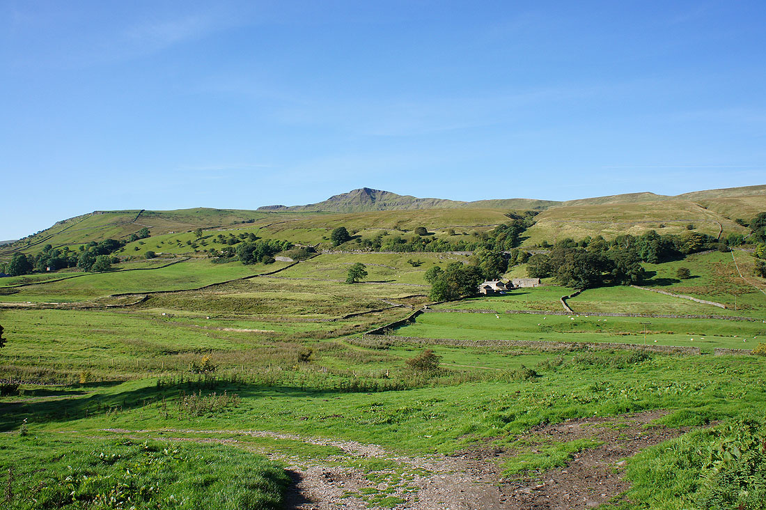
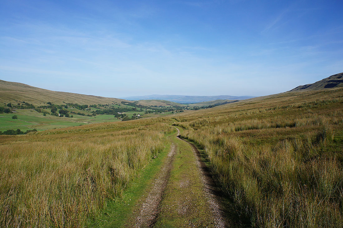
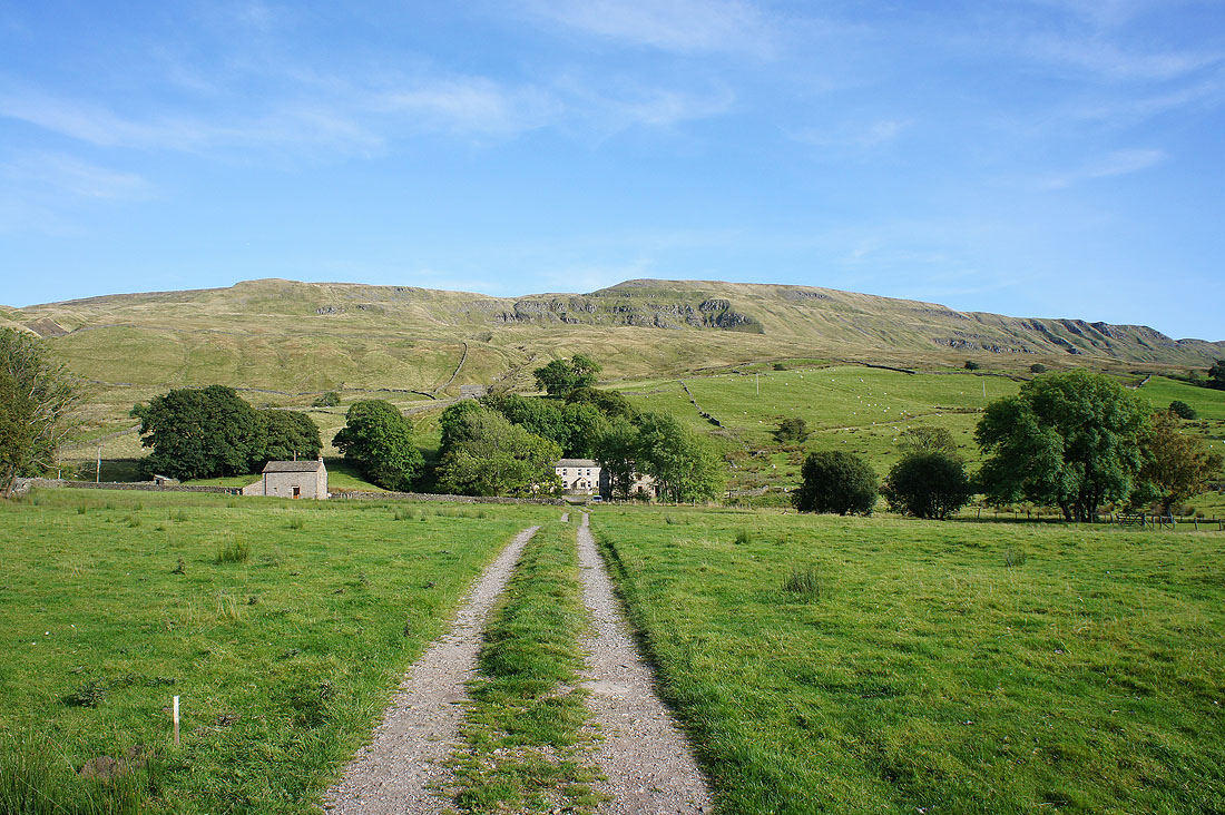
Wild Boar Fell towers above Mallerstang from where I'm parked at The Thrang
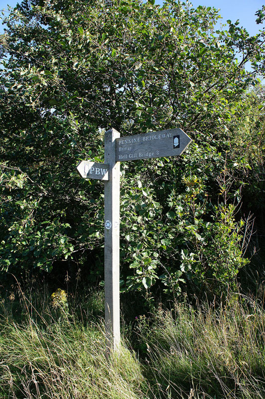
I start by taking the track of Lady Anne's Way, which is part of the Pennine Bridleway. It's a long standing route that has been used for centuries.
Swarth Fell and Wild Boar Fell on the other side of the valley as I head uphill
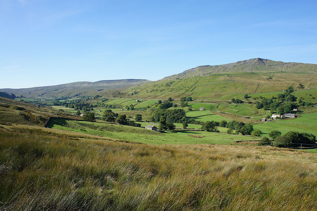
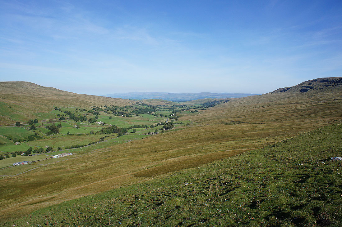
Looking back on Mallerstang
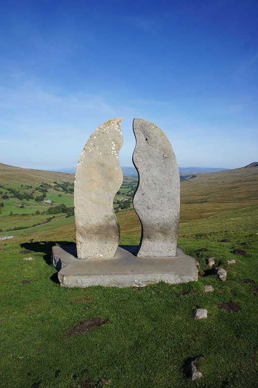
"Water Cut" by Mary Bourne. The first of the ten Eden Benchmarks. Sculptures by the River Eden from source to sea.
Mallerstang from Water Cut with the North Pennines in the distance
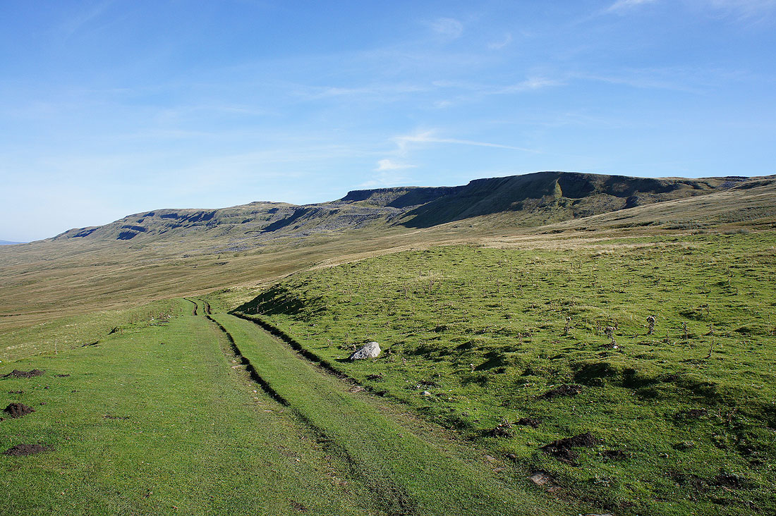
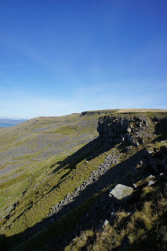
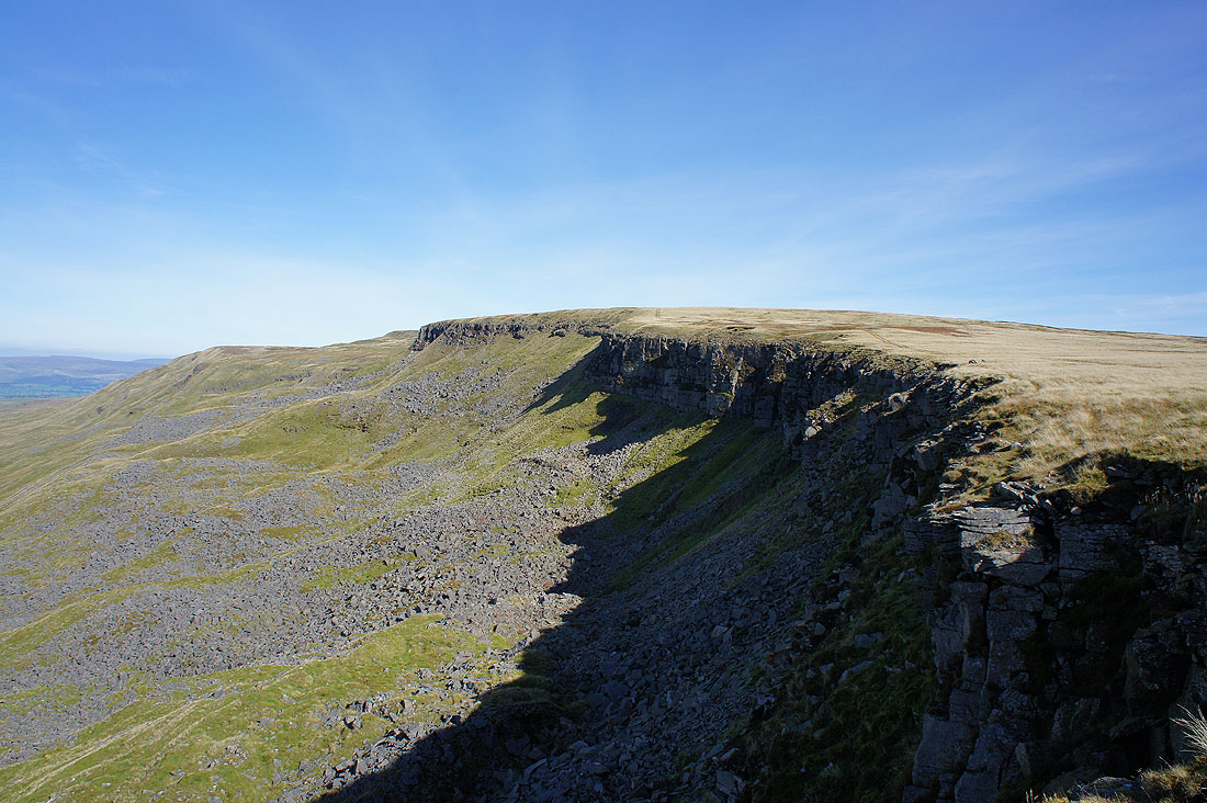
Mallerstang Edge and Hangingstone Scar
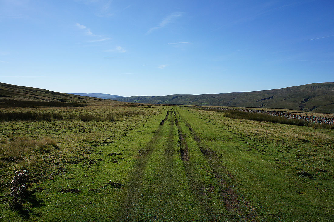
Lady Anne's Way now follows a level course through bits of limestone pavement to Hell Gill Bridge
Once I reached Hell Gill Bridge I left the easy walking of Lady Anne's Way for something much rougher. It's all tussocky grass and boggy patches as I head up the ridge of The Riggs but I do have the compensation when I turn round of a view of Ingleborough and Whernside.
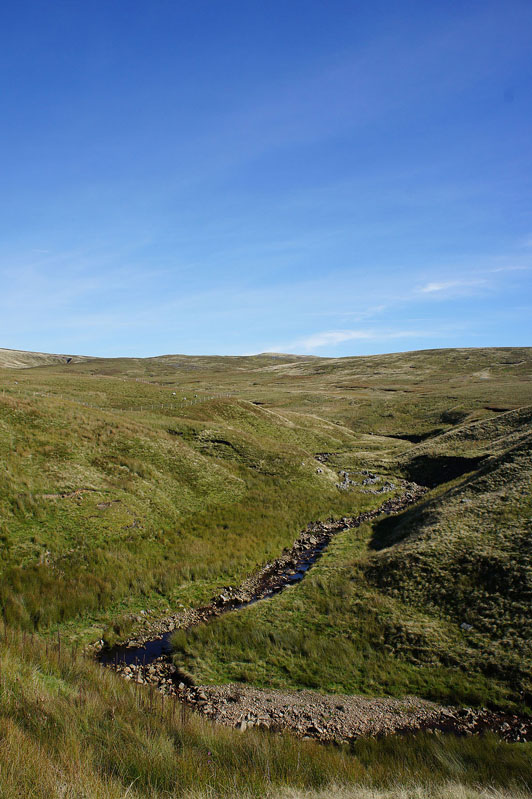
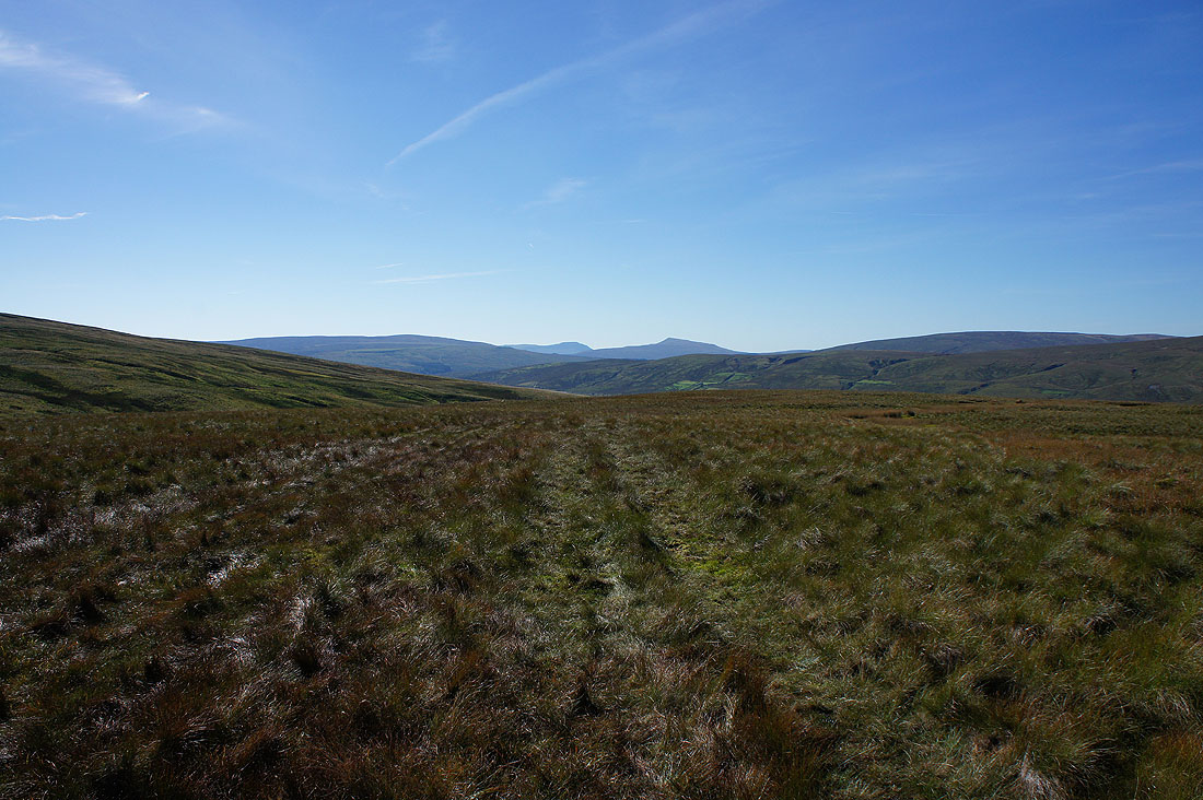
Looking up Red Gill, the first of the Eden's tributaries
and Hugh Seat. The source of the River Eden.
My arrival on Hangingstone Scar is greeted with a fantastic view..
Swarth Fell and Wild Boar Fell on the other side of Mallerstang
A bit further round and I can see past Wild Boar Fell to the northern part of the Howgills and a distant line of Lake District fells
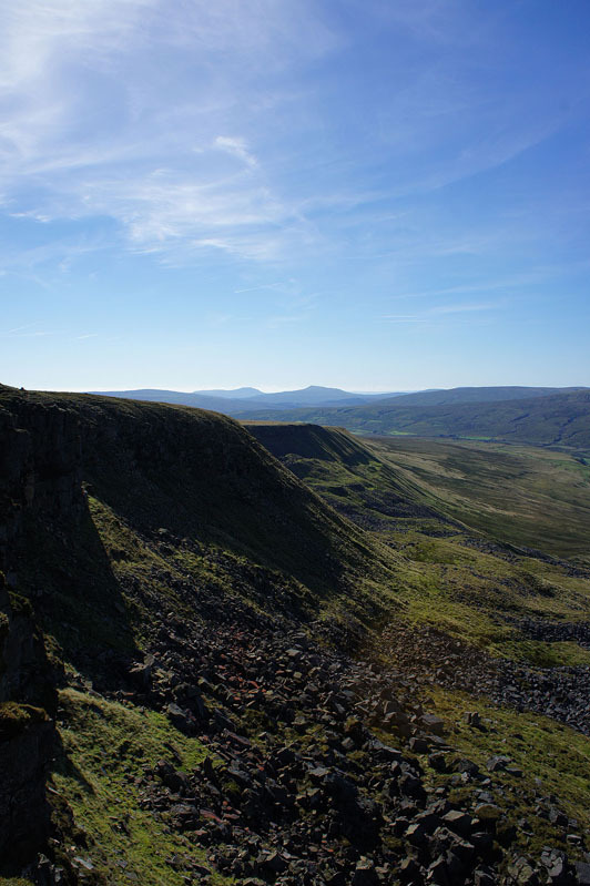
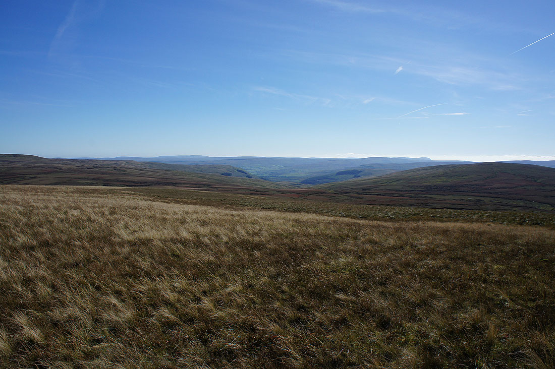
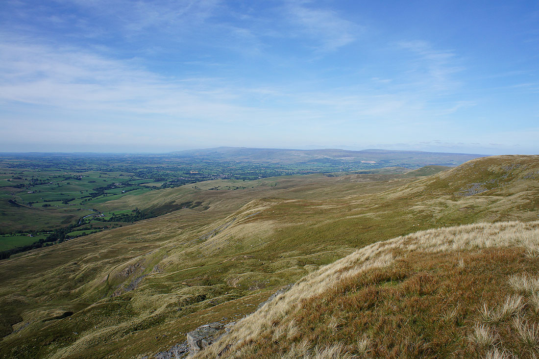
Looking along Hangingstone Scar to Ingleborough and Whernside
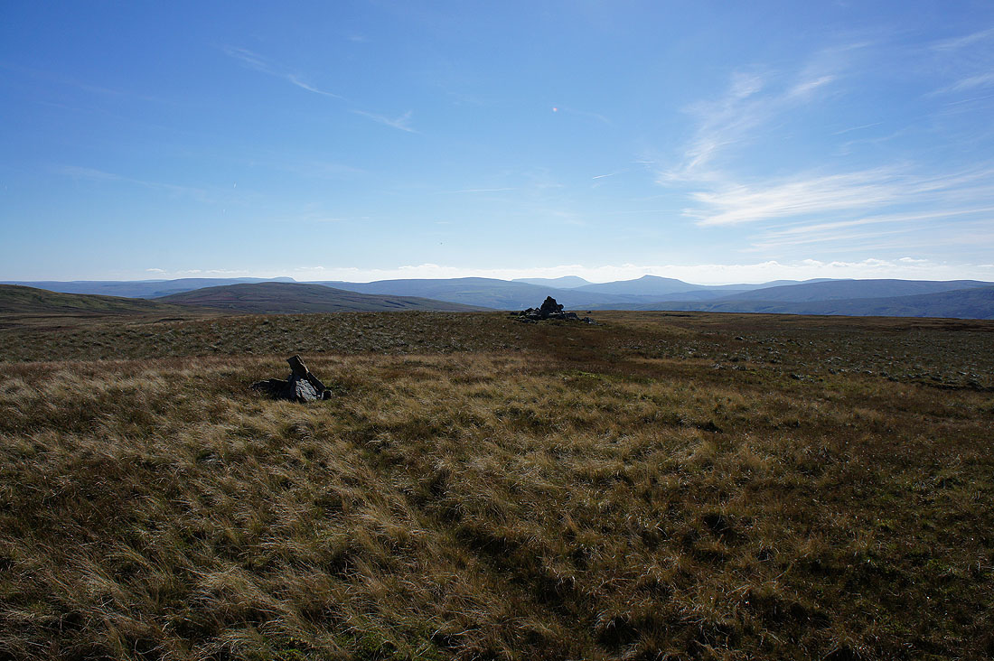
High Seat above Mallerstang Edge
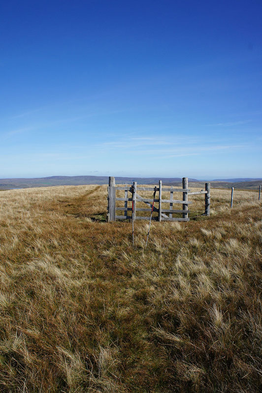
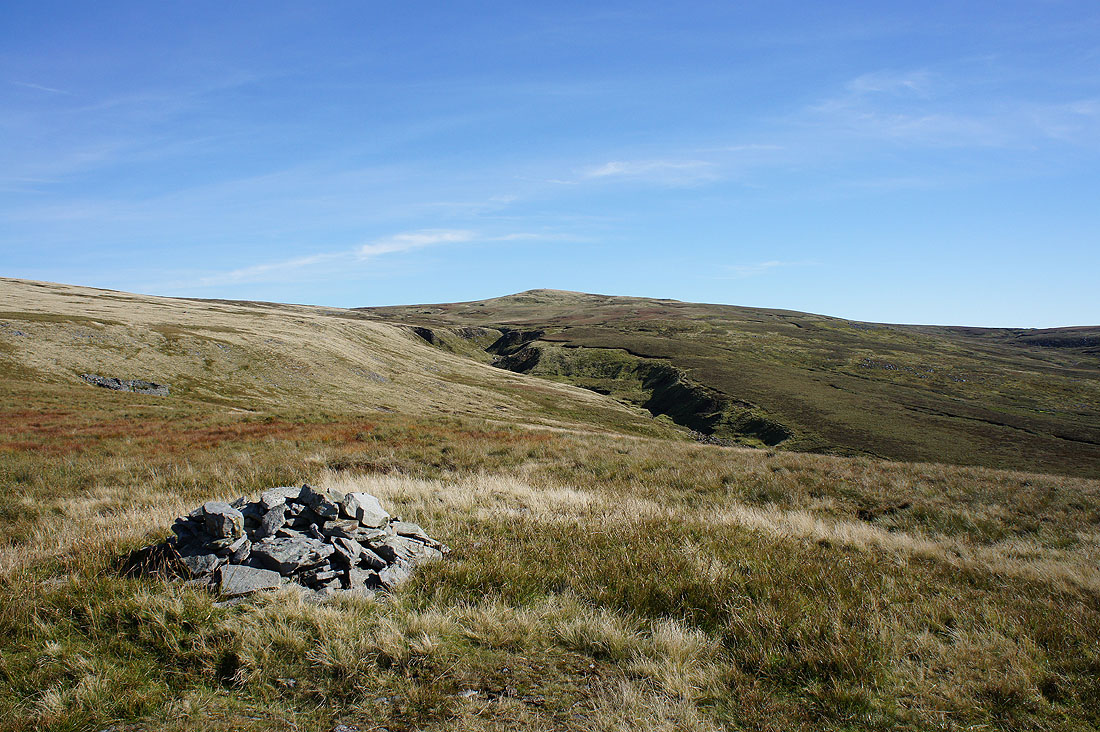
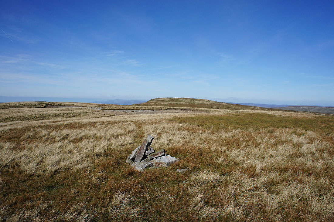
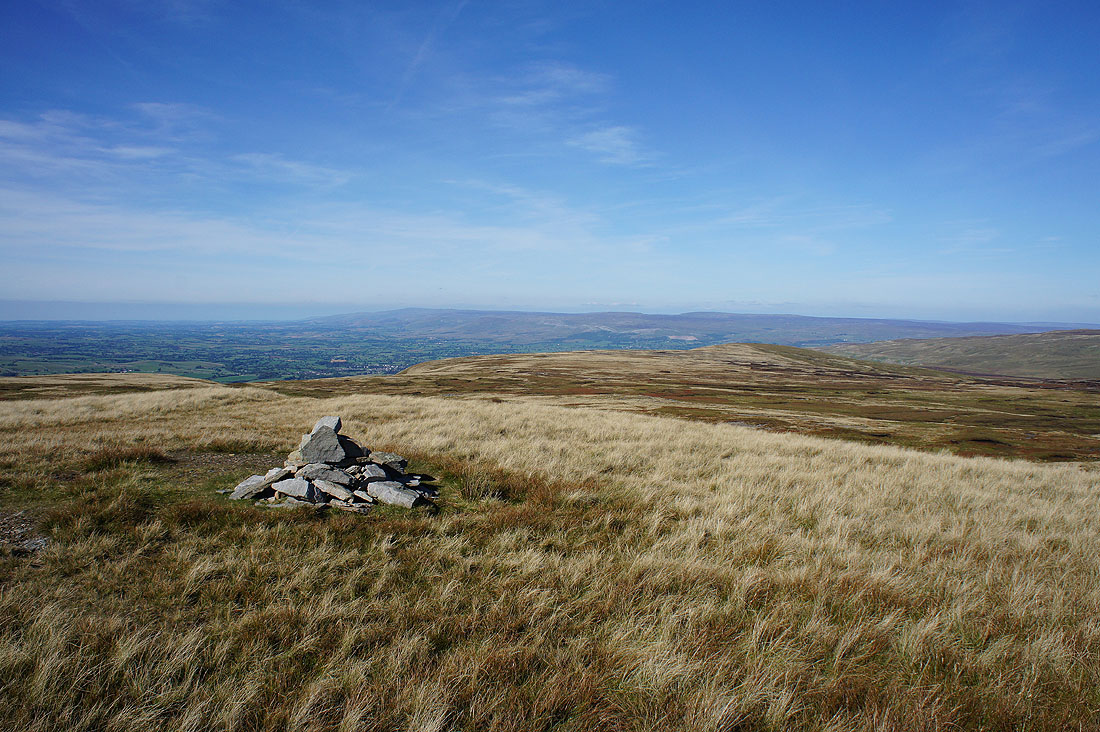
The rather uninspiring summit of Hugh Seat. There isn't a cairn, just a change in direction of the fence that runs across its top. I did pay the summit of Gregory Chapel at the top of Hangingstone Scar a visit and I had my lunch there but I'll take in the view from it when I head back.
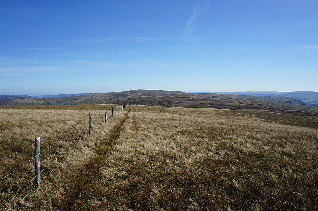
The summit might be boring but today the view isn't. Great Shunner Fell if you follow the fence.
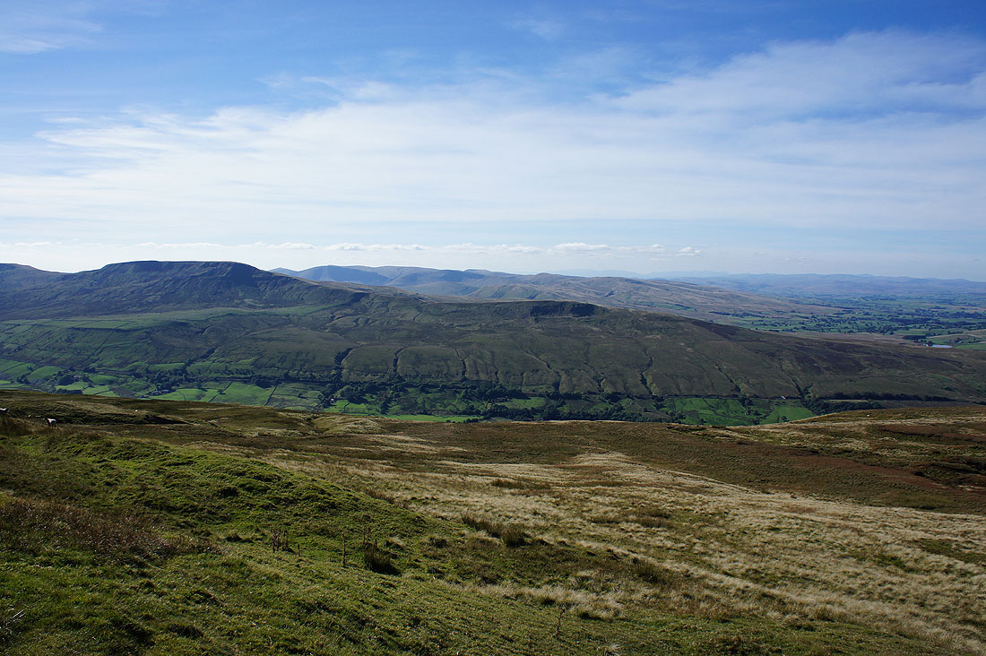
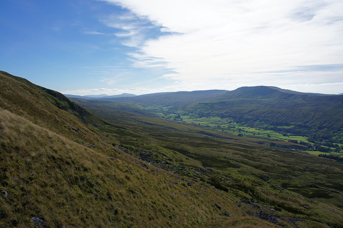
The valley of Cotterdale heads down to the top end of Wensleydale
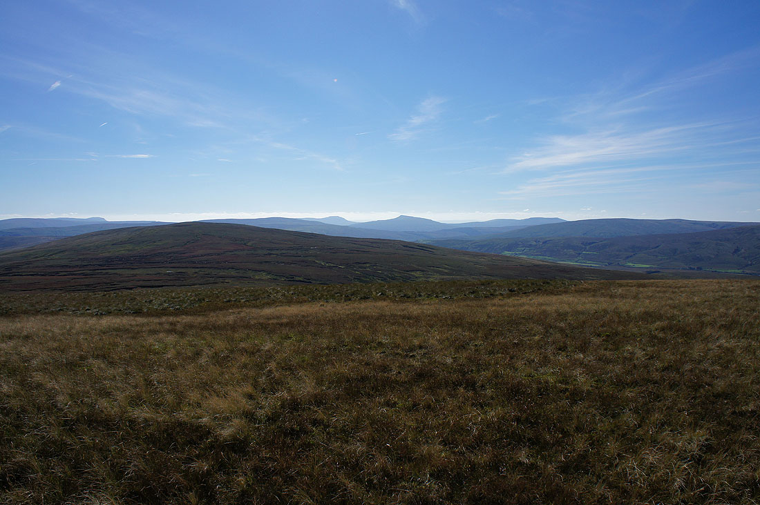
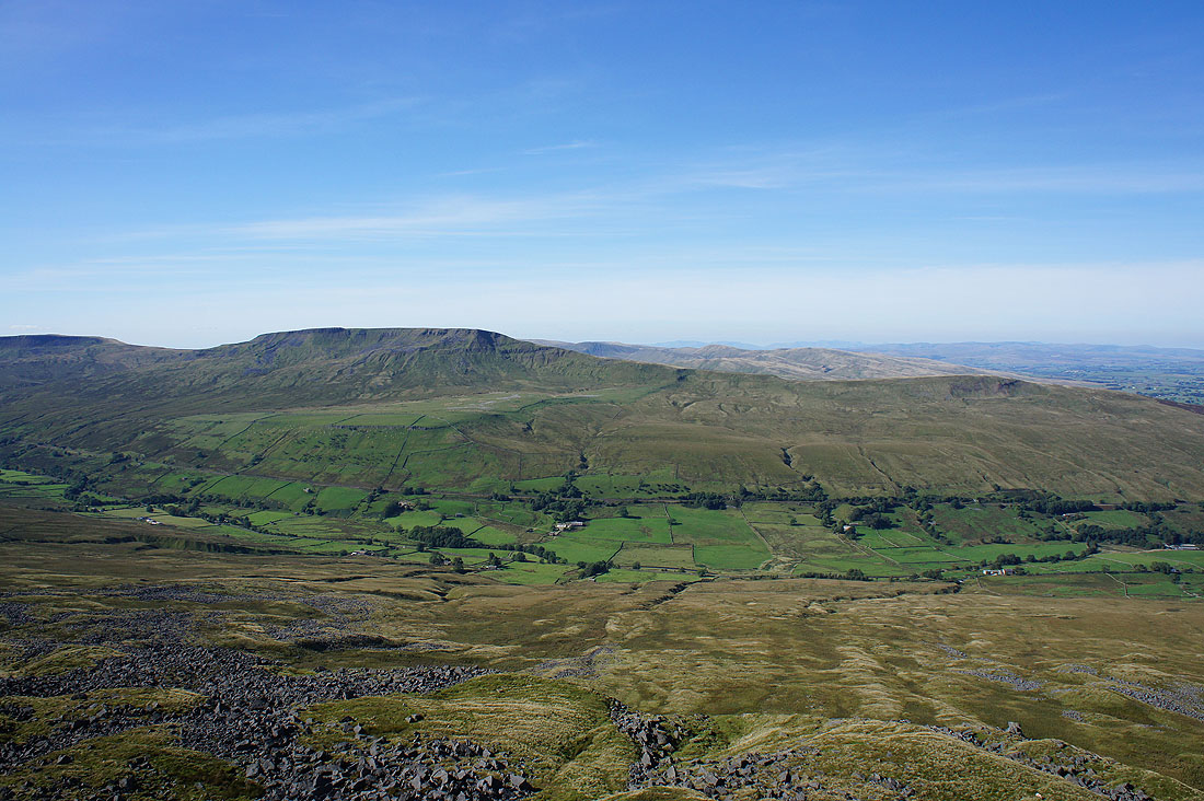
Penyghent, Ingleborough, Whernside and Great Coum in the distance beyond the nearby and boggy looking Lunds Fell
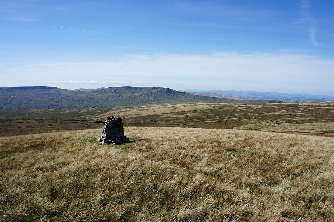
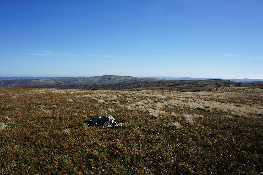
Wild Boar Fell from the Lady's Pillar cairn
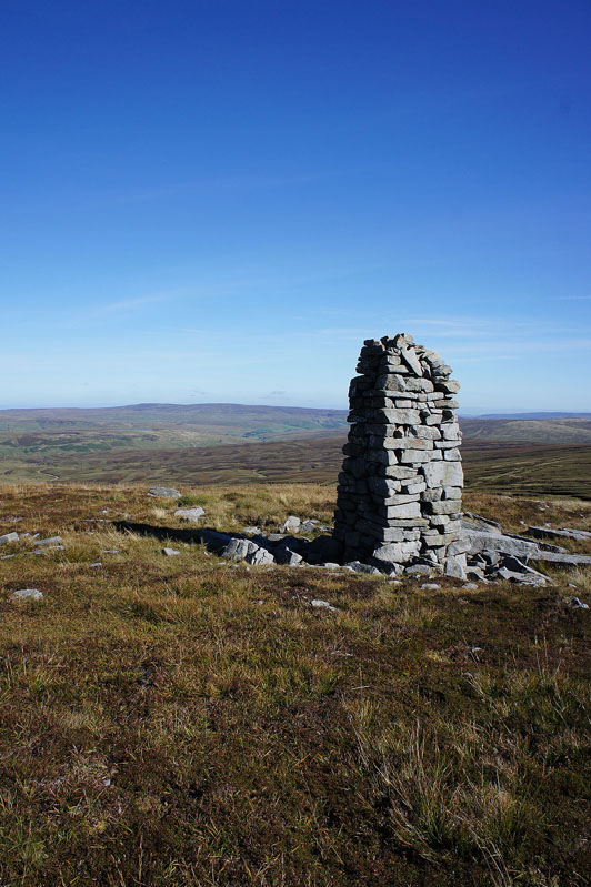
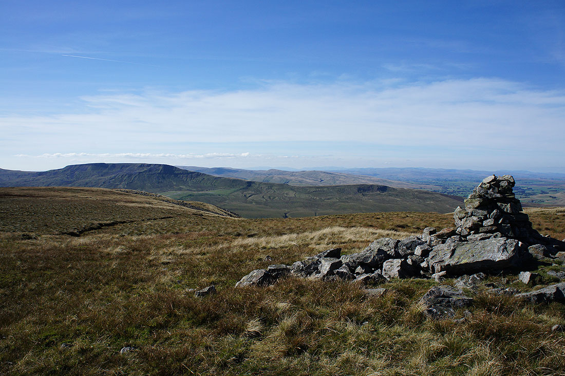
Past this handsome cairn again on the way back to Gregory Chapel
and looking east from the cairn to Rogan's Seat and upper Swaledale
Back at Gregory Chapel and a few photos of the great view today. Wild Boar Fell, the northern Howgills and a distant skyline of Lakeland fells.
Great Shunner Fell and Hugh Seat
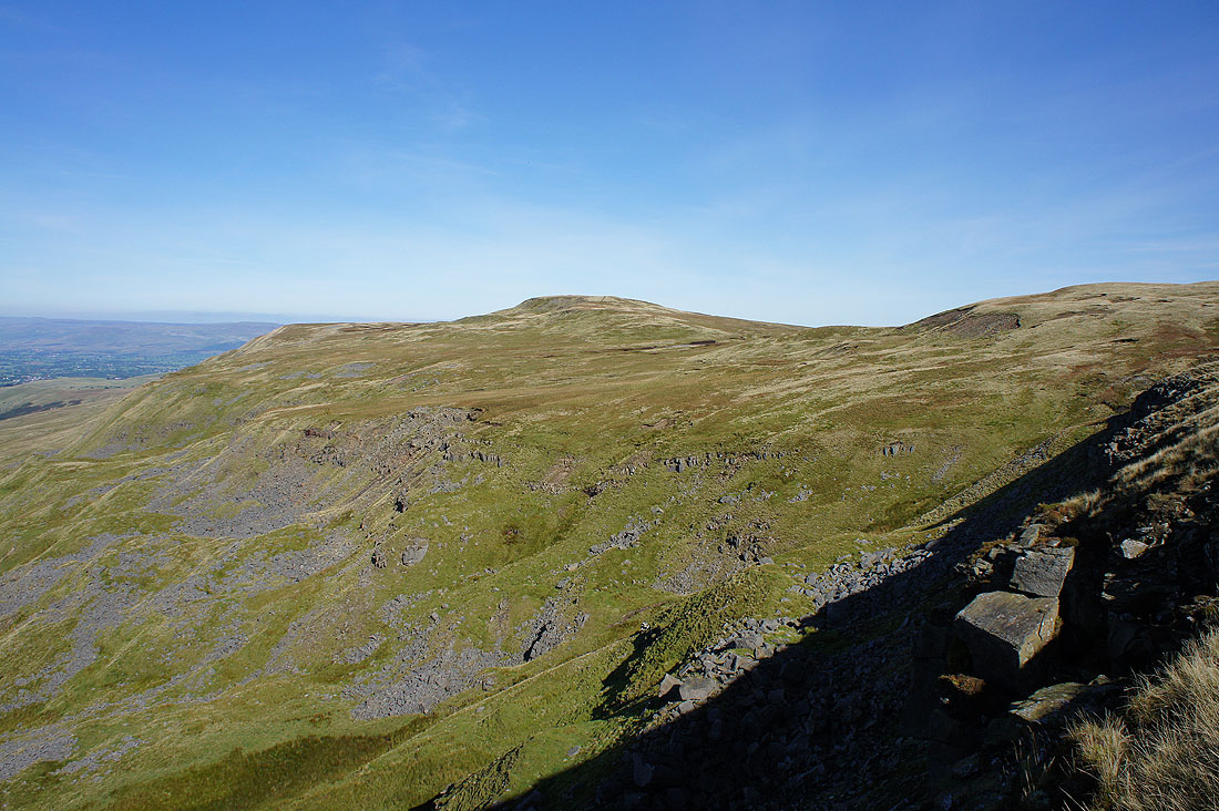
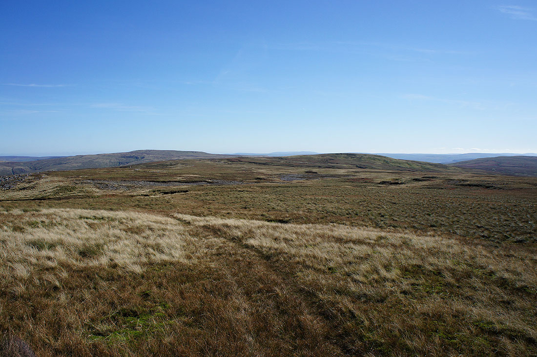
The next summit of High Seat
Turning around as I leave Gregory Chapel, a distant view to Penyghent, Ingleborough and Whernside
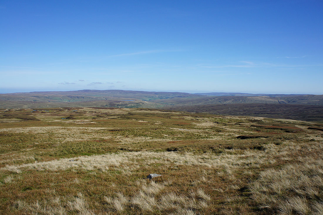
Wild Boar Fell, Little Fell and the Howgills from the western edge of High Seat's summit
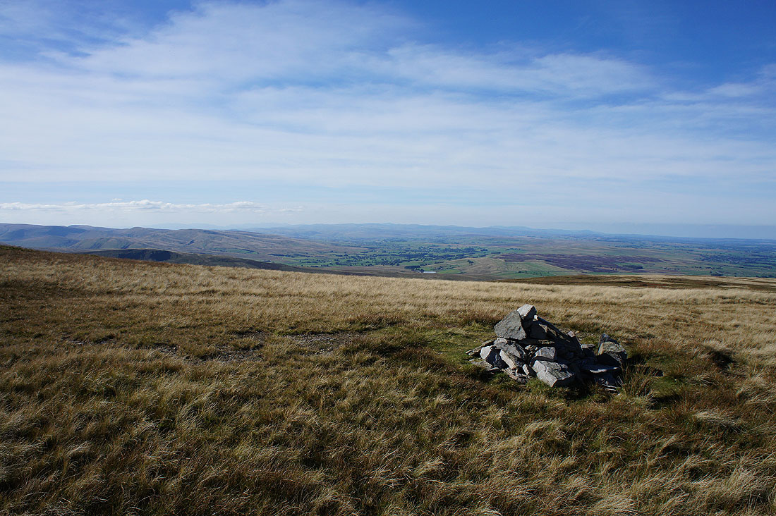
and the view from the top. Cross Fell and the North Pennines.
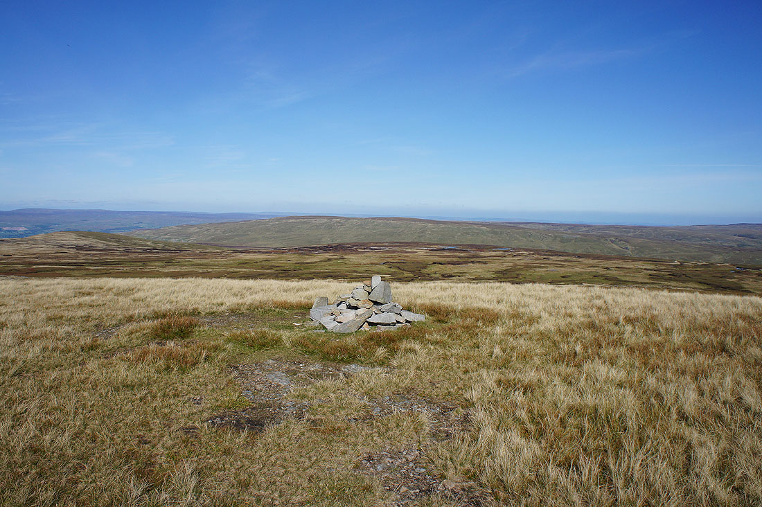
Nine Standards Rigg
Rogan's Seat and upper Swaledale. I could also make out Birkdale Tarn sat on its moorland shelf.
Great Shunner Fell
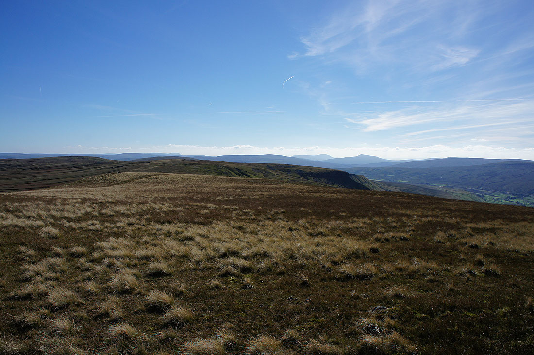
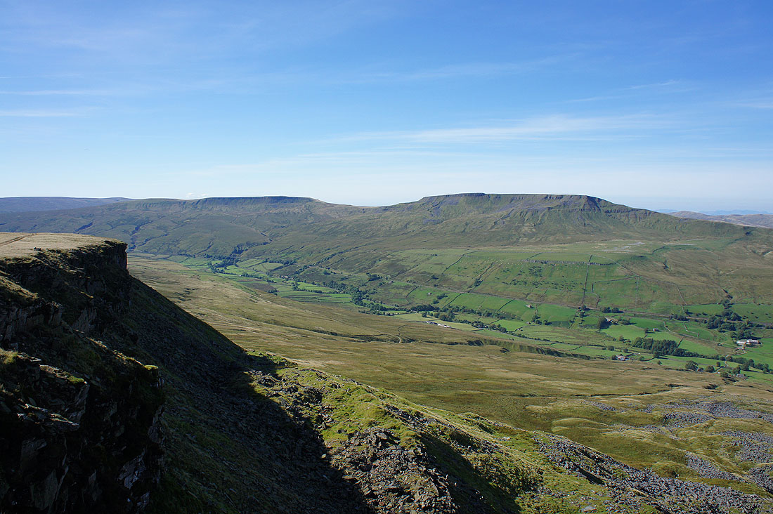
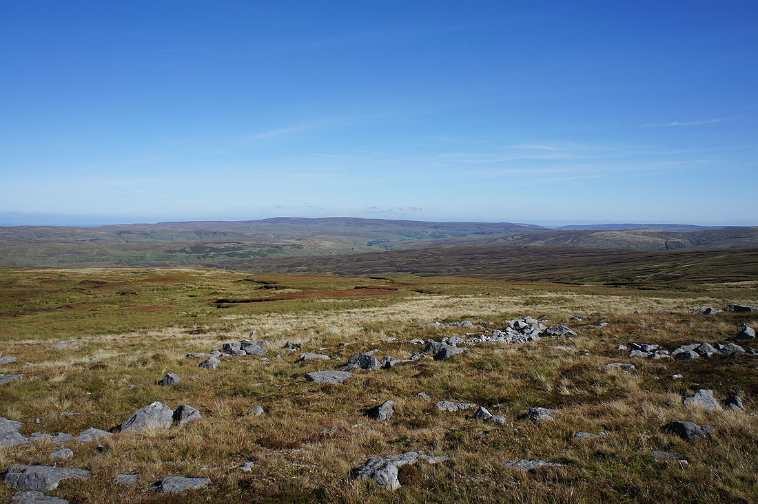
Penyghent, Ingleborough and Whernside beyond Gregory Chapel and Hangingstone Scar
A final shot from the top of a long line of Lake District fells in the distance. The air is really clear today and I could make out Scafell Pike, Great Gable, Helvellyn, Skiddaw and Blencathra.
The Eden valley as I reach the top of Lindrigg Scars
A cracking view of Mallerstang and Wild Boar Fell on the steep pathless descent
as well as looking down the valley to a distant Cross Fell
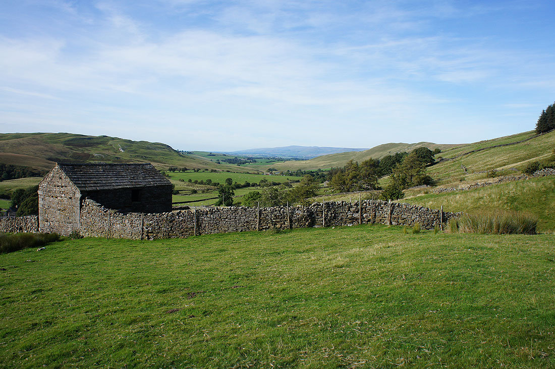
Looking back to Lindrigg Scars and the fellside behind Castlethwaite that was my way down
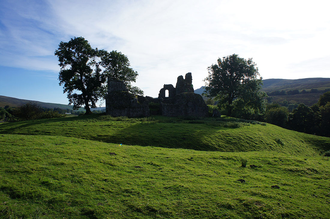
The ruins of Pendragon Castle. This shot taken from the road was as close as I could get to them.
Great views of Mallerstang Edge as I follow the footpath south up the valley..
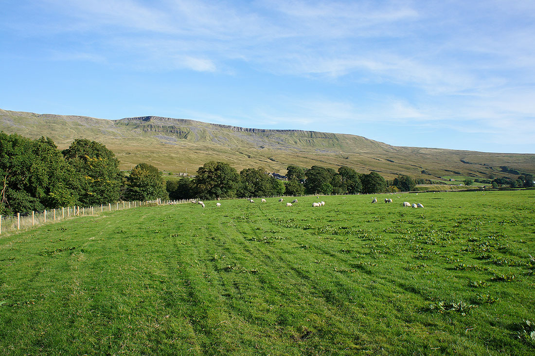
..and Hangingstone Scar
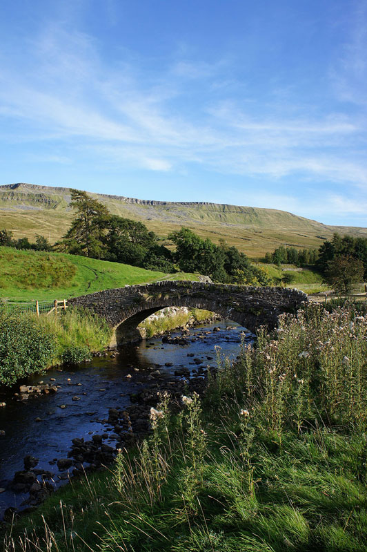
Thrang Bridge over the River Eden. Almost back to where I started from.
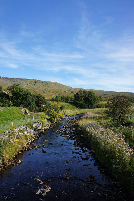
A final shot of the Eden from the bridge