28th April 2017 - The Saddleworth Edges
Walk Details
Distance walked: 10.9 miles
Total ascent: 2007 ft
OS map used: OL1 - The Peak District, Dark Peak area
Time taken: 7 hrs
Route description: Dove Stone Reservoir-Yeoman Hay Reservoir-Greenfield Reservoir-Greenfield Brook-Birchen Clough-Raven Stones-Ashway Rocks-Dean Rocks-Fox Stone-Dish Stone Brow-Chew Reservoir-Stable Stones Brow-Wimberry Rocks-Alphin Pike-Alphin Brow-Bradbury Lane-Dove Stone Reservoir
I've decided to take today off work to make it a four day weekend like the Easter break of a couple of weeks ago. It did me a power of good, hopefully another one will do the same. With some reasonable weather forecast I'm going to get out on a few of the days and stay relatively local to avoid the bank holiday crowds. Today is a work day though, so I didn't have any qualms about heading to Dove Stone Reservoir in Saddleworth, which is a popular place. So it was pretty quiet when I arrived at 1000 to do a round of the edges that rise above the reservoir, one of my favourite walks in the Peak District. There was a lot of sunshine around when I set off but it was one of those days where the cloud gradually built up so that by the middle of the afternoon it was quite grey and overcast.
From the car park at Dove Stone Reservoir I set off by walking along the dam of Dove Stone Reservoir, then along the track by its northern shore to Yeoman Hey Reservoir, up to Greenfield Reservoir and then up the path by Greenfield Brook. A thin path then climbs up Birchen Clough past the cascades before crossing the brook and heading to the top of Raven Stones Brow. This is where the edge walk begins; past Raven Stones to Ashway Rocks, across Ashway Clough to Dean Rocks and then from the Fox Stone over Dish Stone Brow to Chew Reservoir. A path above Chew Brook then heads for the top of Stable Stones Brow and continues to the end of the ridge on Alphin Pike. I then followed the path above Alphin Brow down to the edge of access land. The track of Bradbury Lane brought me back to the car park at Dove Stone.
Route map
© Crown copyright. All rights reserved. License number PU 100034184.
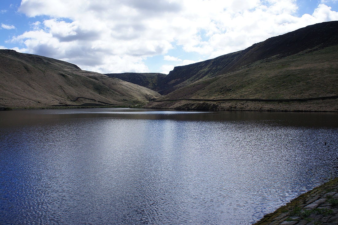
It's a lovely morning at Dove Stone Reservoir
Looking back from the track to Yeoman Hey Reservoir
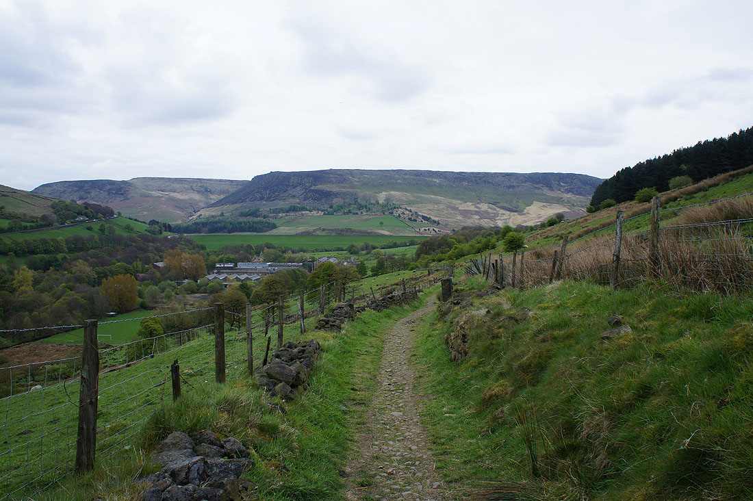
Dean Rocks and Stable Stones Brow from beside Yeoman Hey Reservoir
Raven Stones Brow from the dam of Greenfield Reservoir
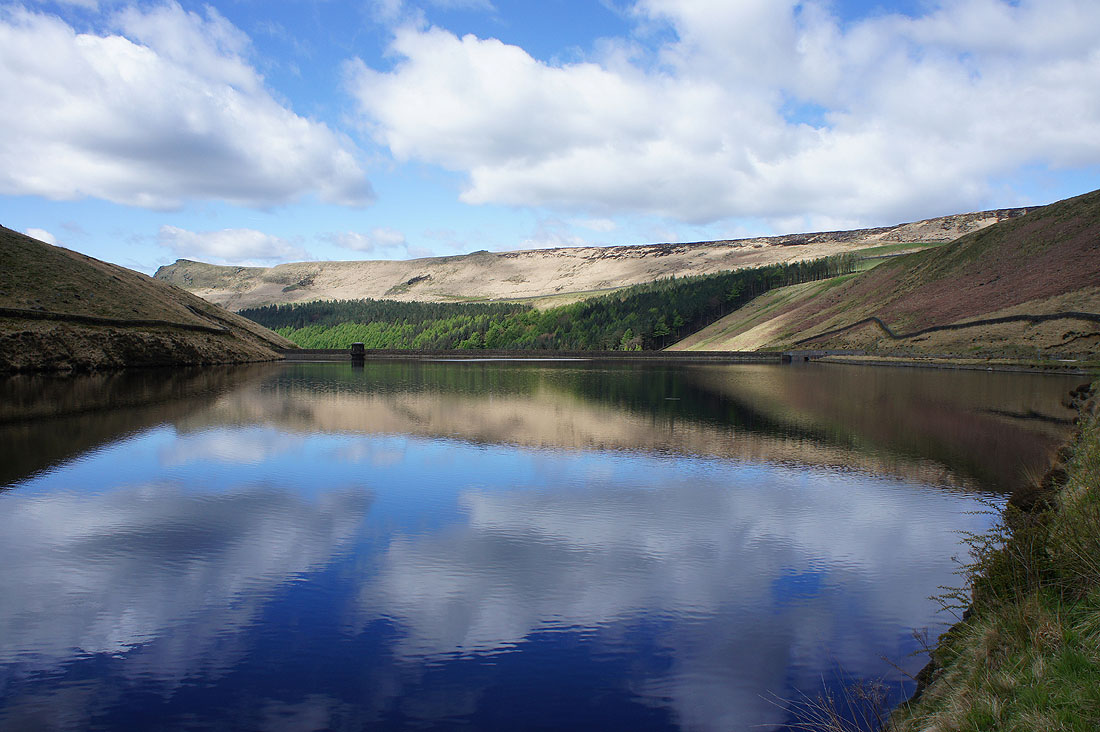
Great reflections of Alderman's Hill and Upper Wood Edge from Greenfield Reservoir
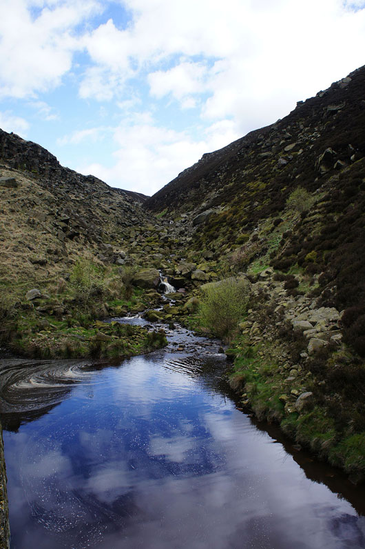
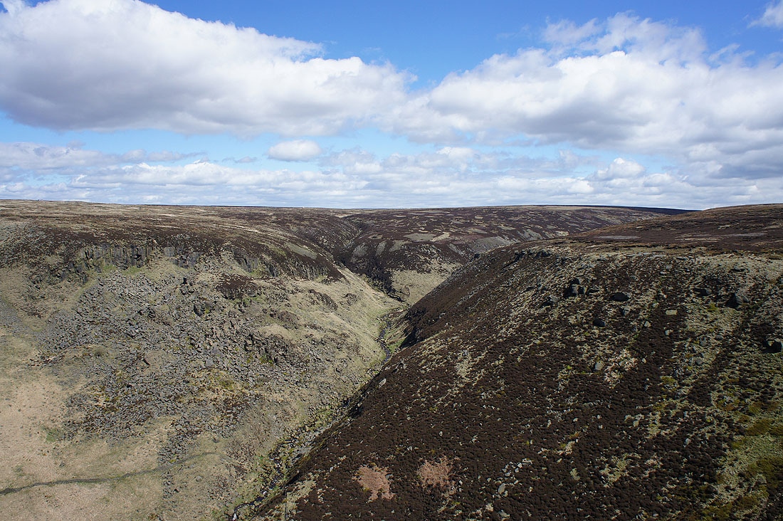
At the bottom of Holme Clough
|
|
Making my way up Birchen Clough
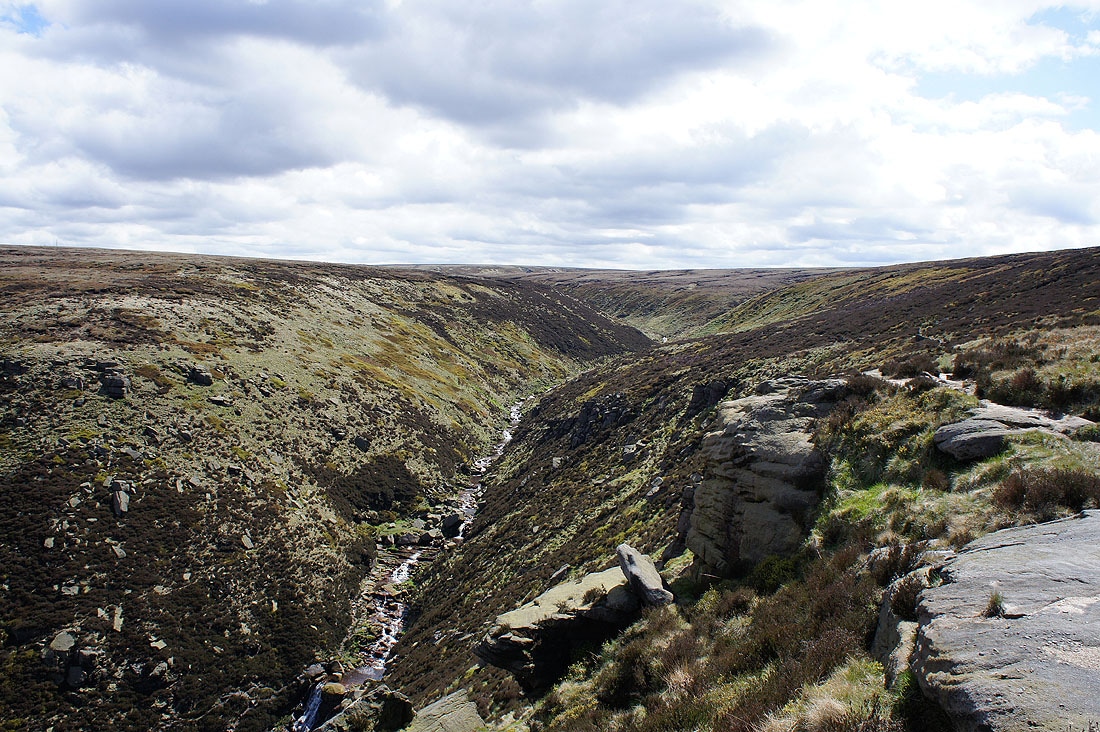
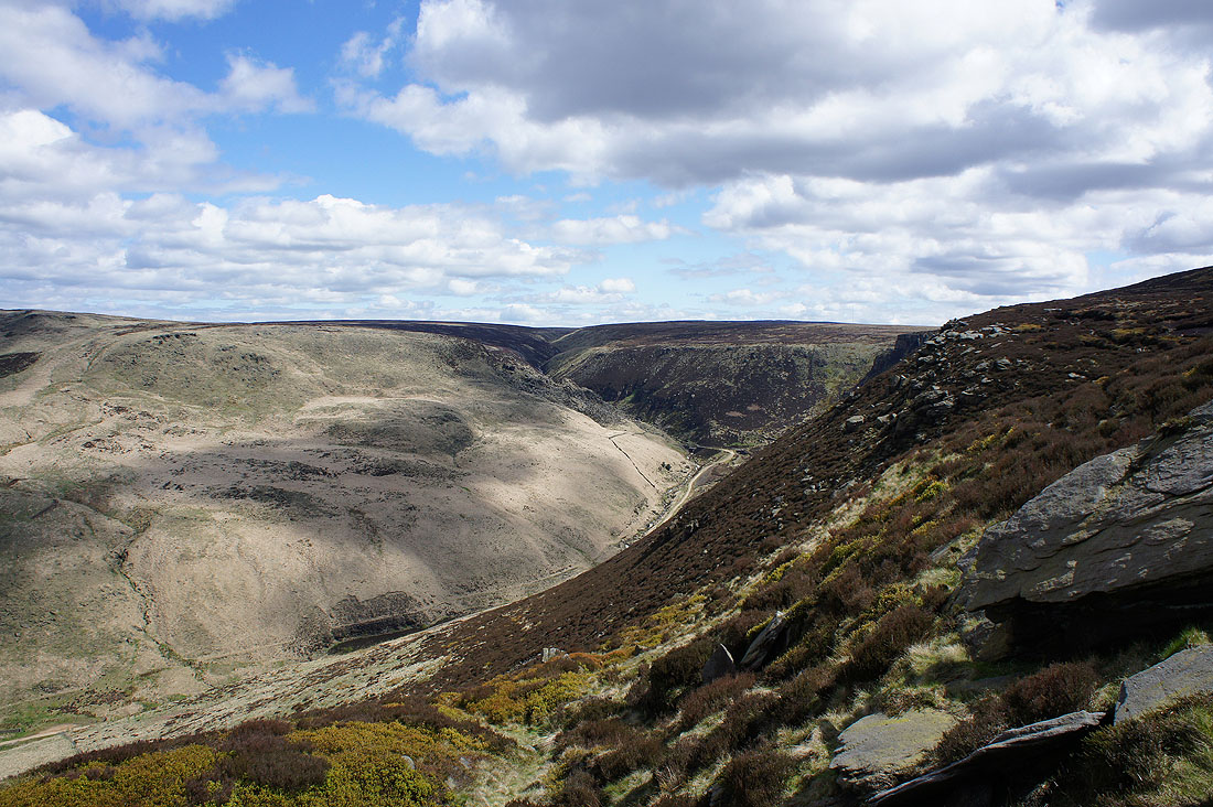
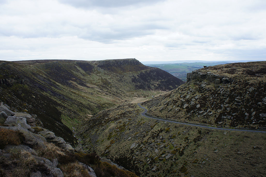
Rimmon Pit Clough and Holme Clough from Raven Stones Brow
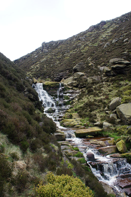
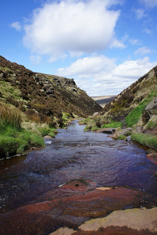
Birchen Clough
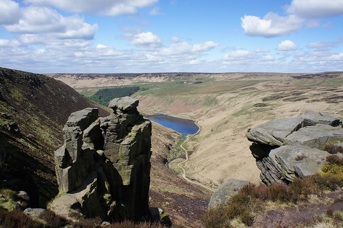
Greenfield Reservoir from the Trinnacle
Looking back east to Raven Stones Brow
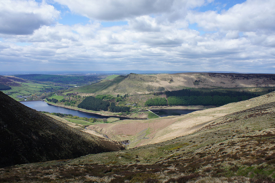
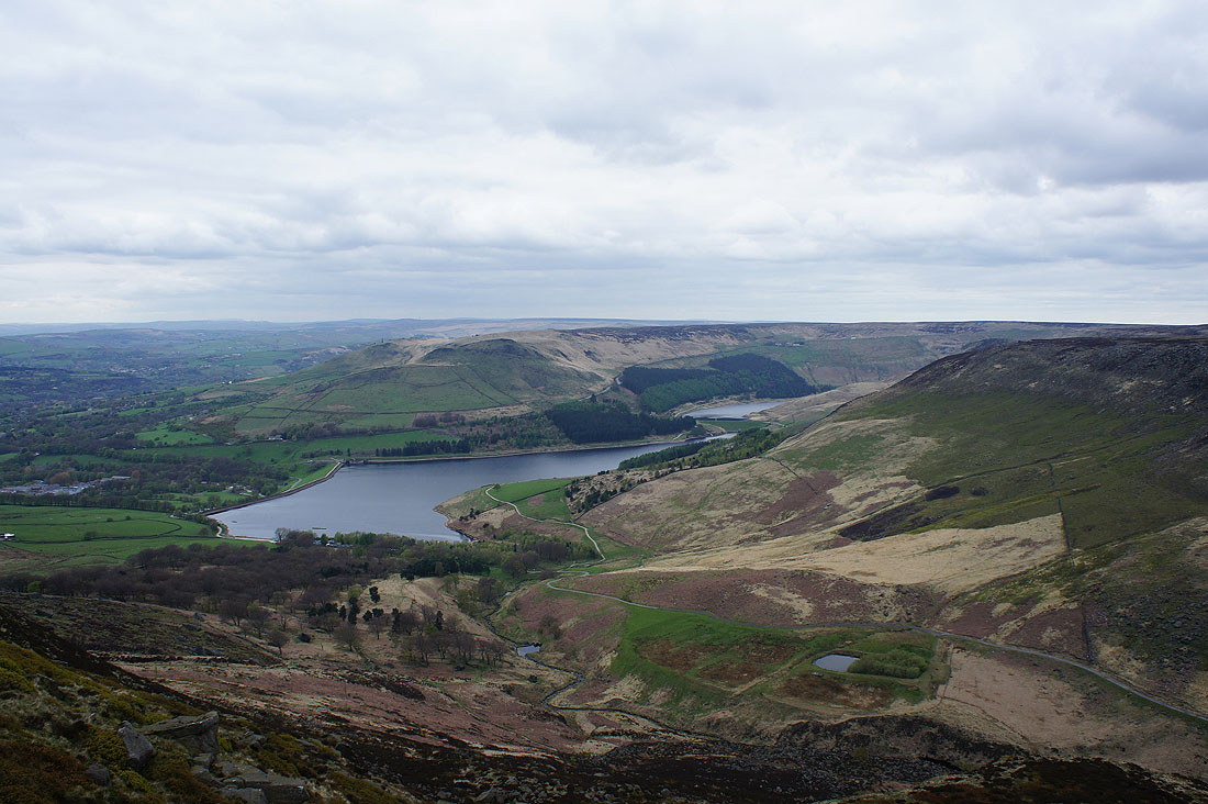
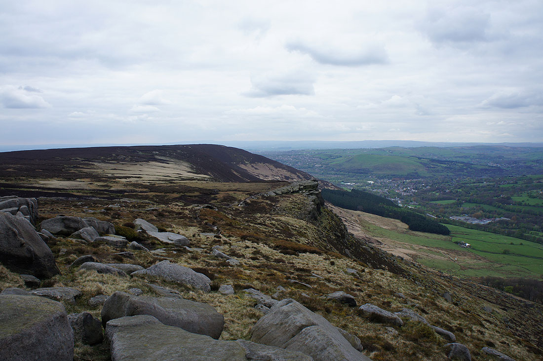
Alphin Pike, Dove Stone Reservoir, Alderman's Hill and Yeoman Hey Reservoir from Ashway Rocks
Dean Rocks
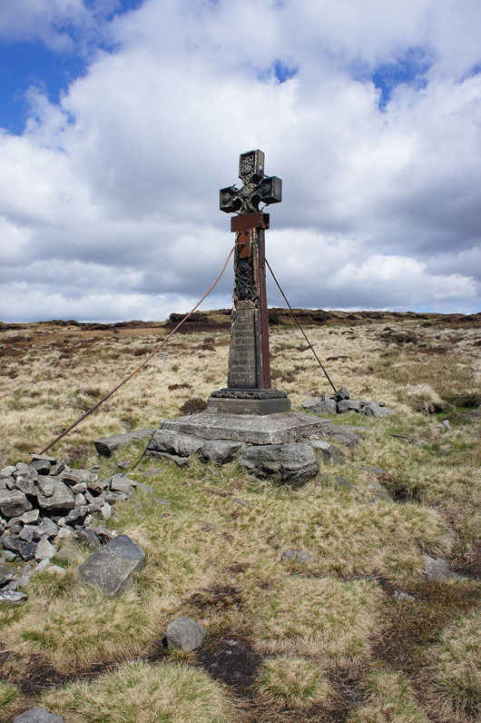
The memorial cross above Ashway Gap
Alderman's Hill above Ashway Gap
On Dean Rocks
Dove Stone Reservoir from Dean Rocks
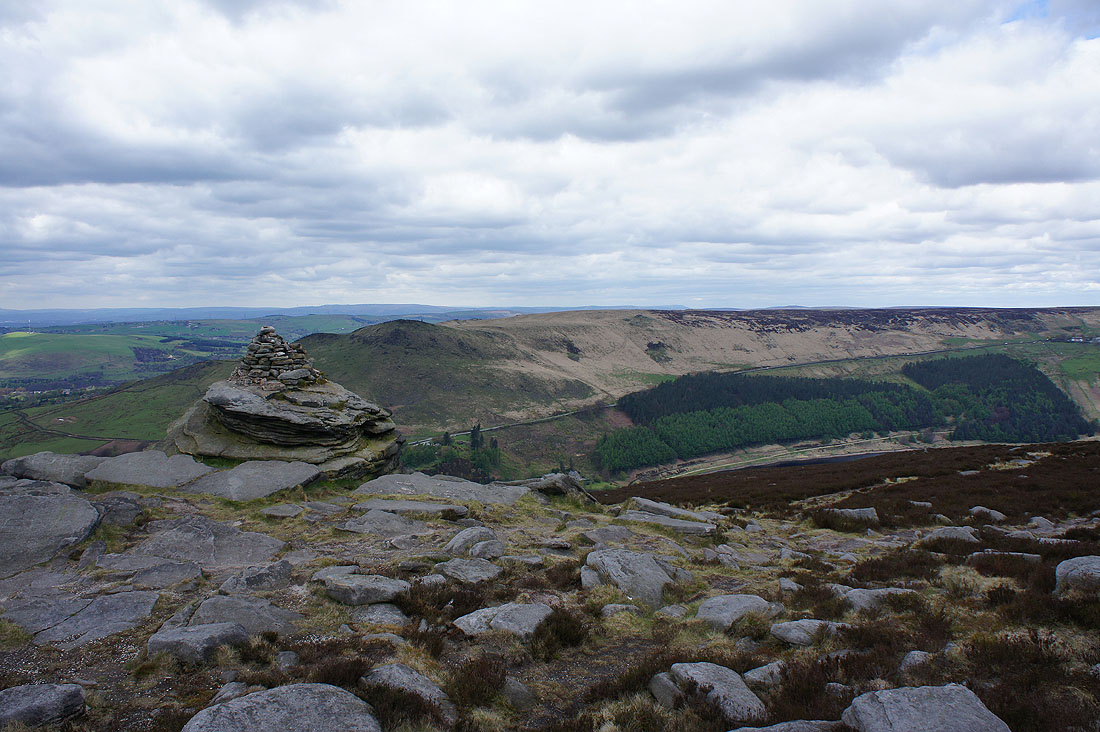
Alderman's Hill and Upper Wood Edge from the Cairn on Fox Stone
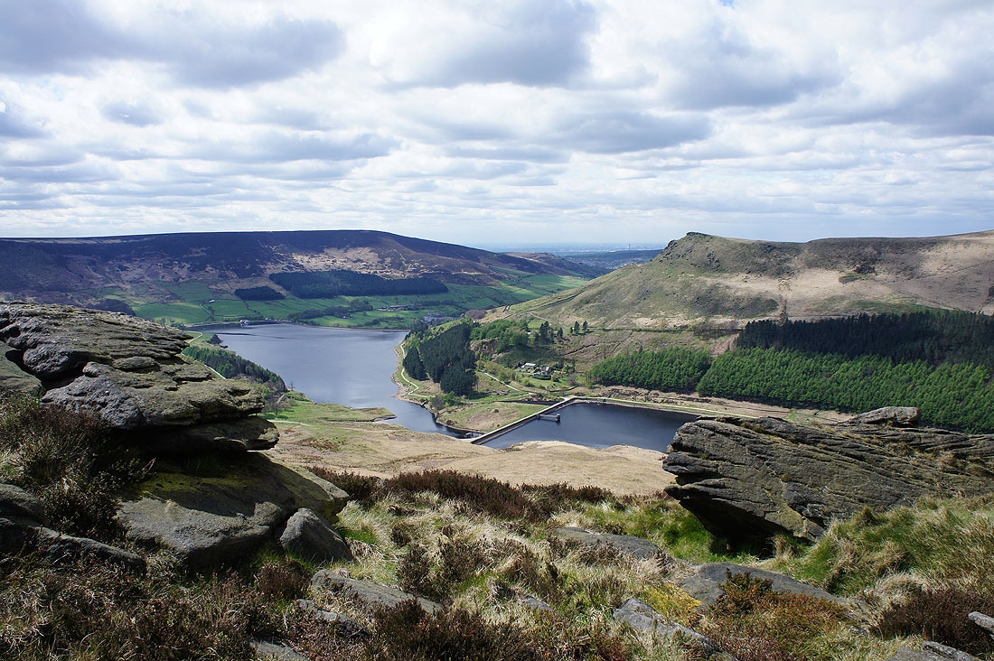
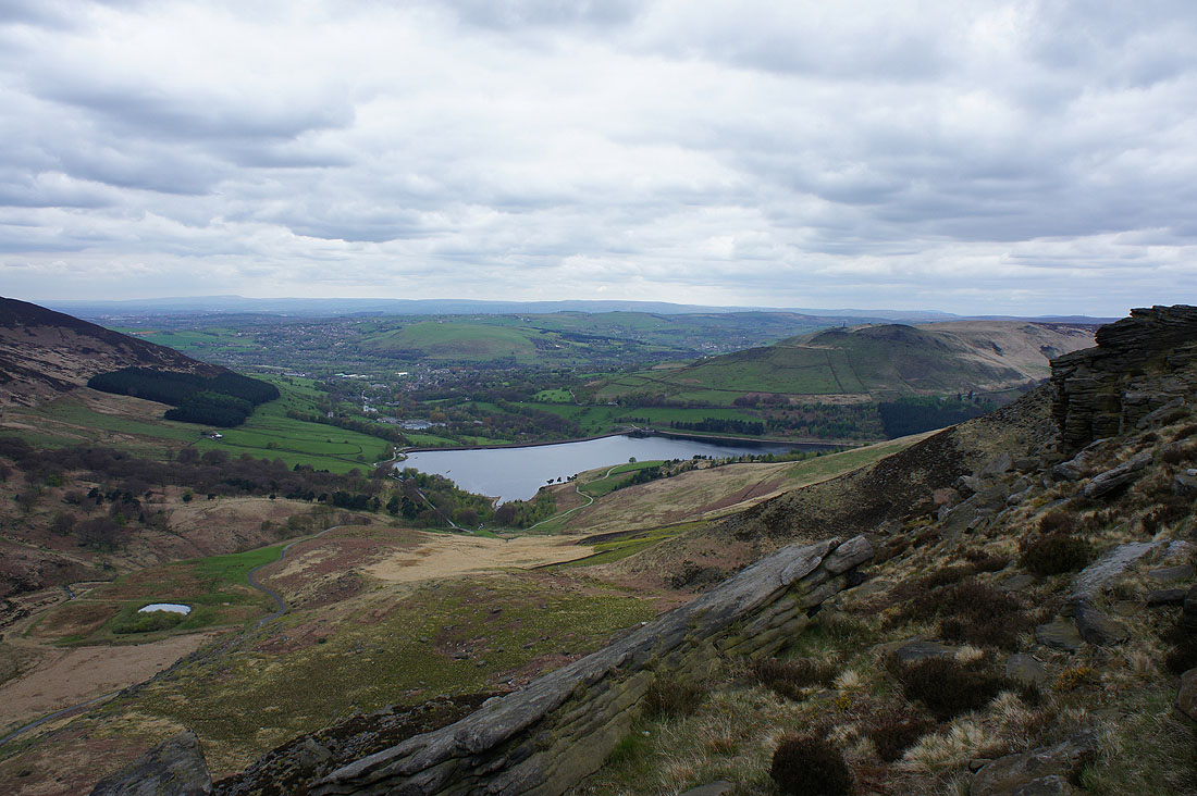
Greenfield and Dove Stone Reservoir
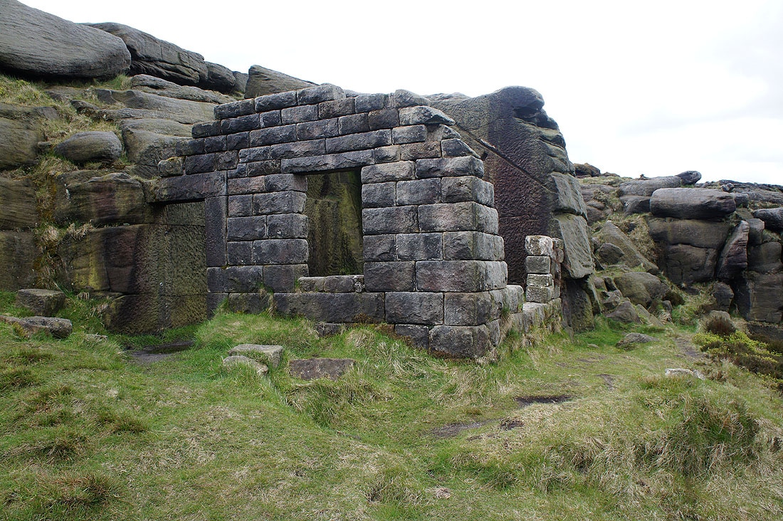
The ruins of Bramley's Cot
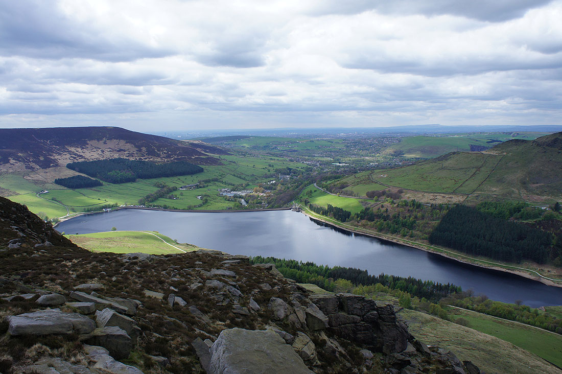
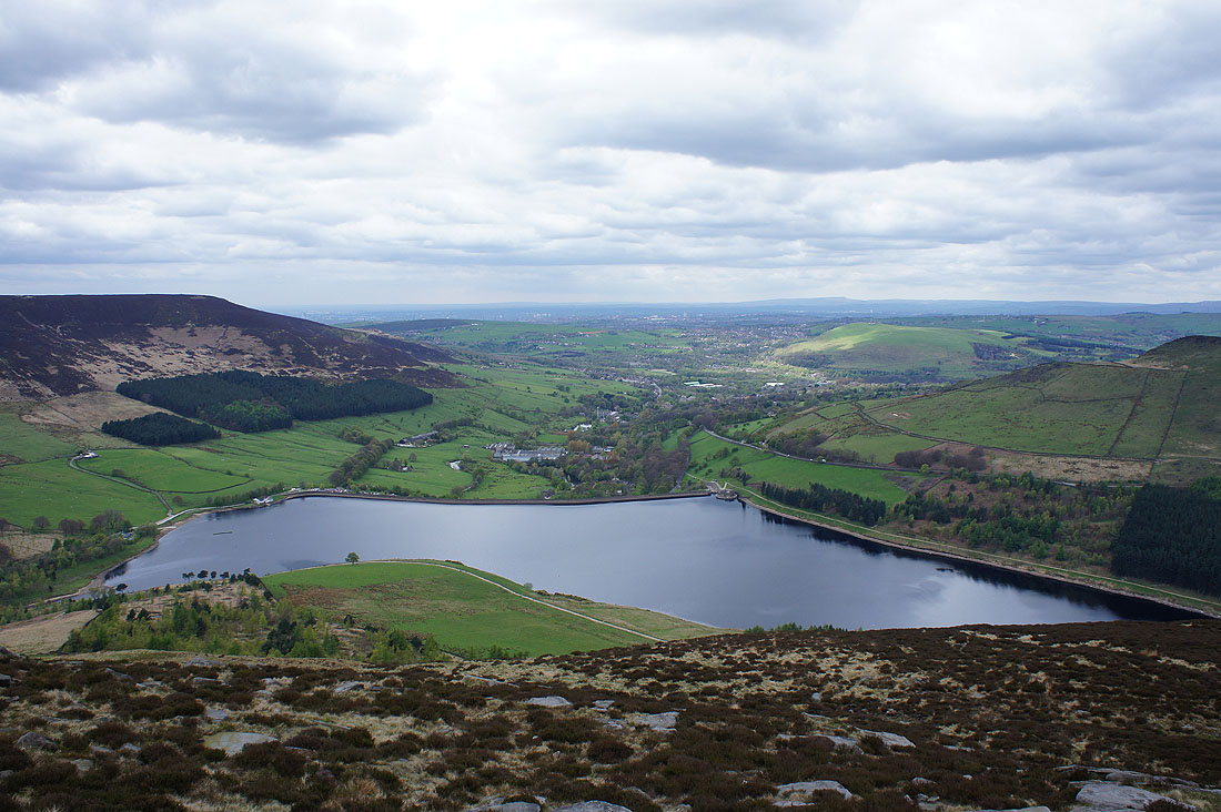
Dove Stone Reservoir from Dish Stone Brow
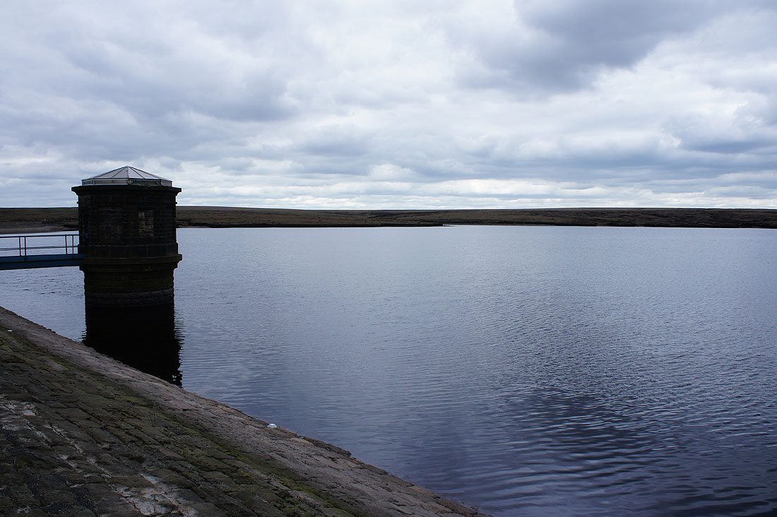
By a gloomy Chew Reservoir. Unfortunately the sunshine has gone and it's become quite grey and overcast.
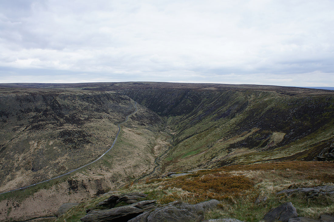
Looking to Stable Stones Brow as I follow the path above Chew Brook
Looking back up Chew Brook to the dam of Chew Reservoir
Alderman's Hill and Dove Stone Reservoir from Stable Stones Brow
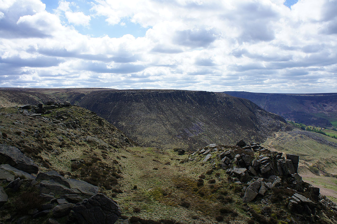
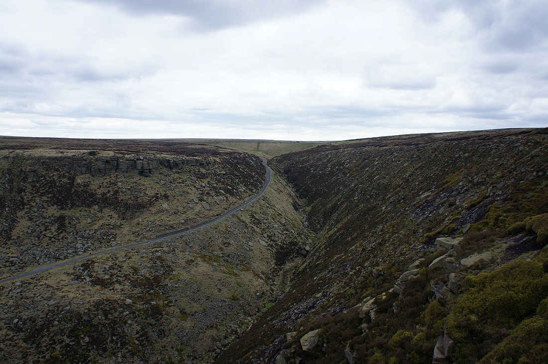
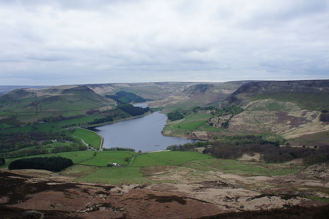
The Chew Valley and Blindstones Moss
The next part of my walk along the edge to Alphin Pike
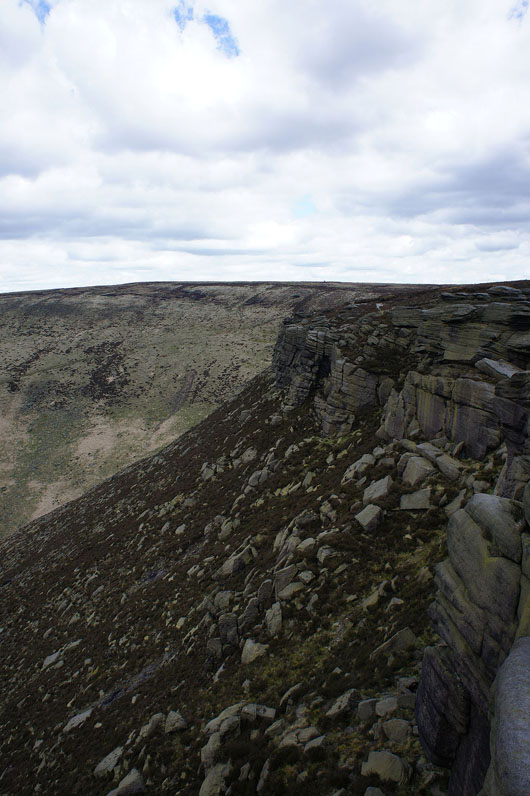
The Saddleworth Edges above Dove Stone Reservoir from the crag above Wimberry Stones Brow
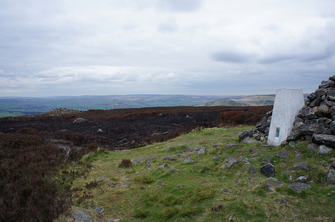
At the trig point on Alphin Pike
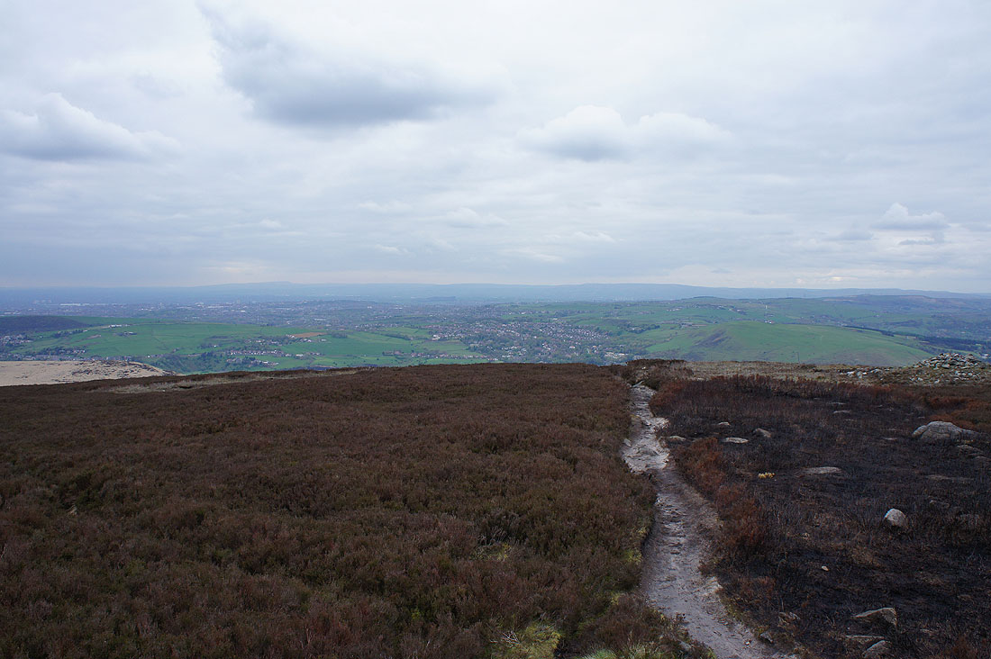
A murky view northwest past the villages of Saddleworth to the distant West Pennine Moors
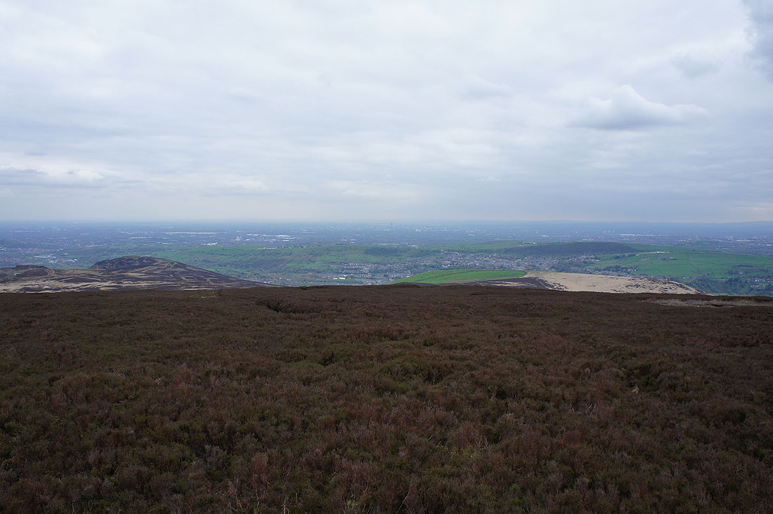
The urban sprawl of Manchester to the west
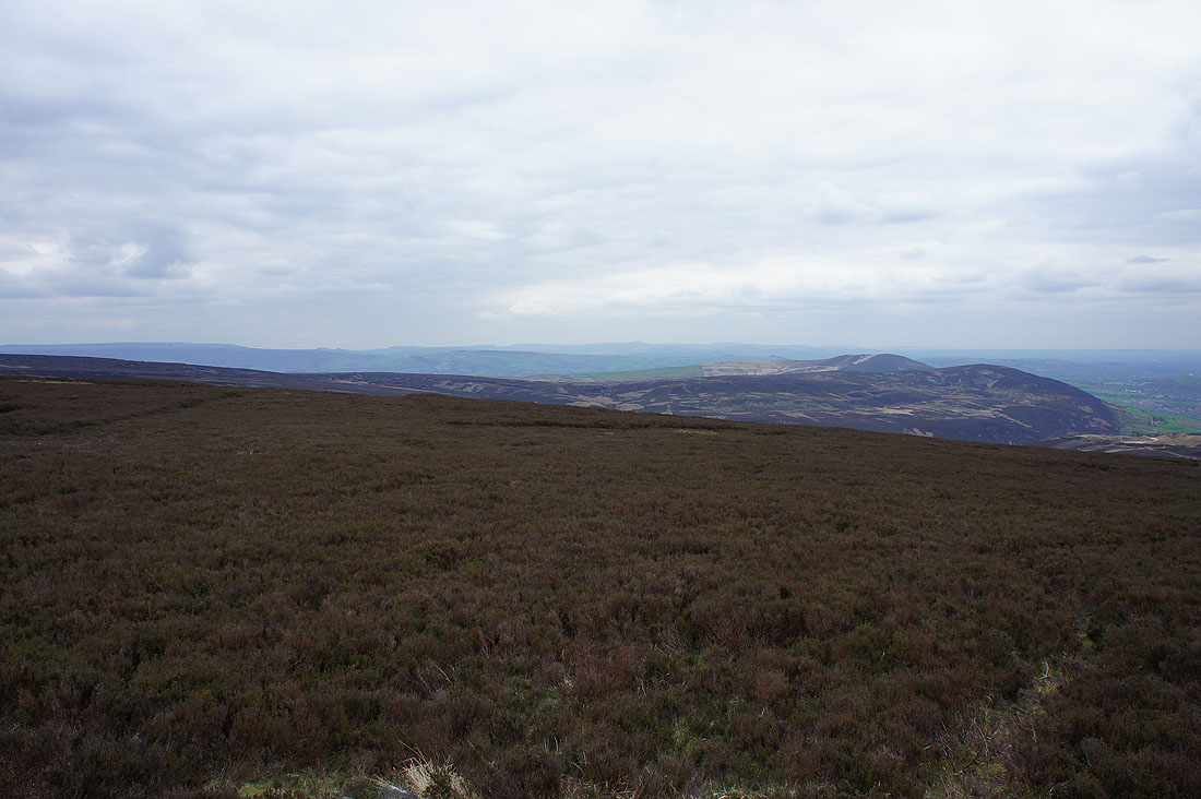
The western edge of Kinder Scout and the moors above the Goyt Valley in the distance beyond Hollingworthall Moor and Harridge Pike
Making my way down Alphin Brow
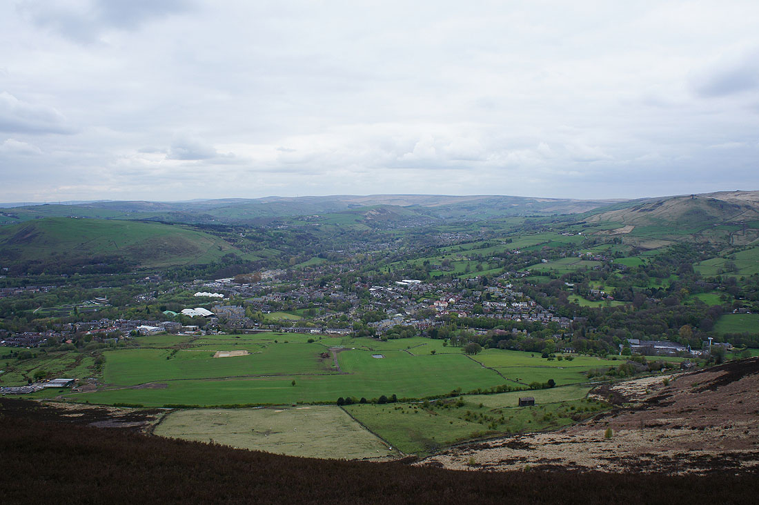
The village of Greenfield below
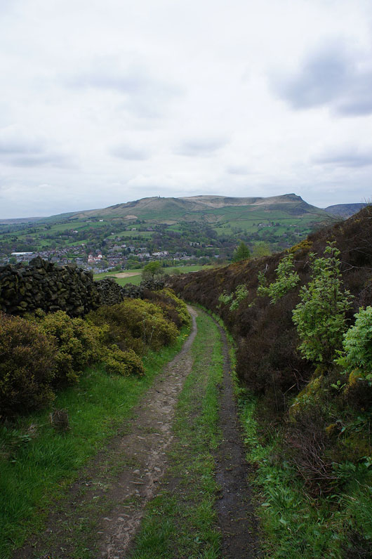
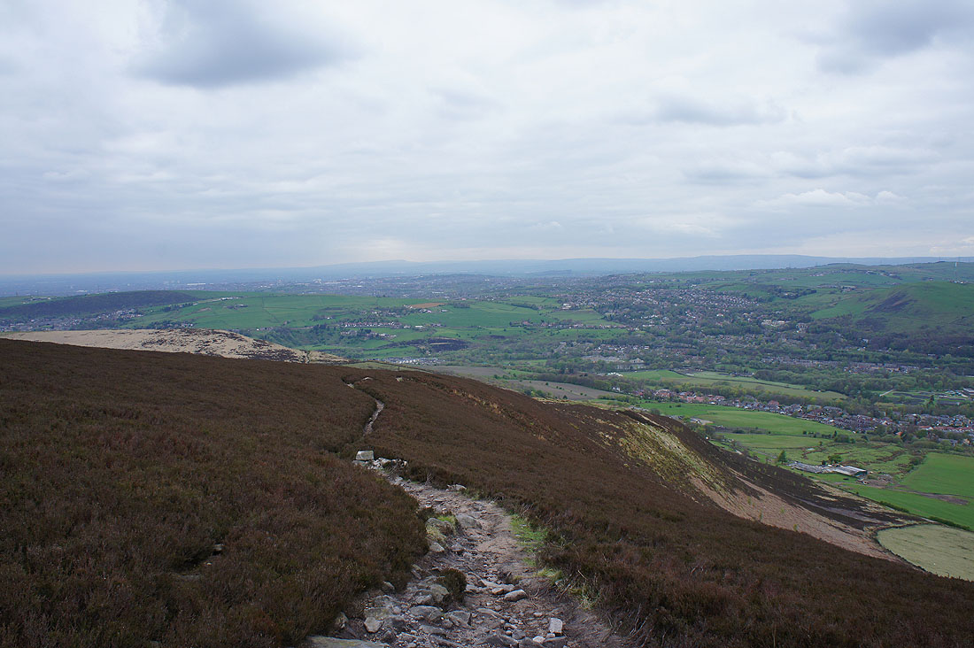
The track off access land
and on the bridleway back to Dove Stone Reservoir