28th April 2018 - Fountains Fell
Walk Details
Distance walked: 11.4 miles
Total ascent: 1438 ft
OS map used: OL2 - Yorkshire Dales, Southern & Western areas
Time taken: 6 hrs
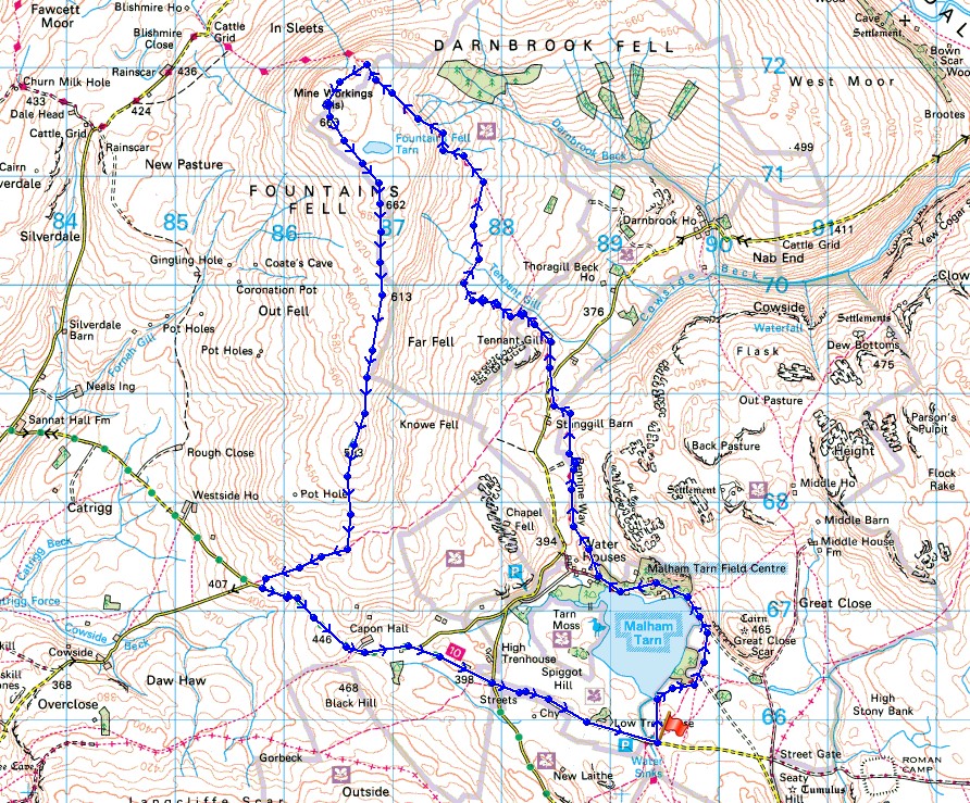
Route description: Malham Tarn-Pennine Way-Fountains Fell-Fountains Fell south top-Knowe Fell-Henside Road-Streets-Malham Tarn
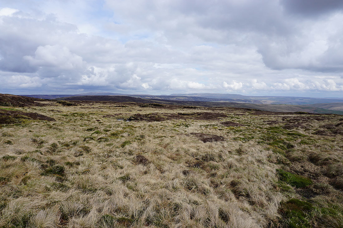
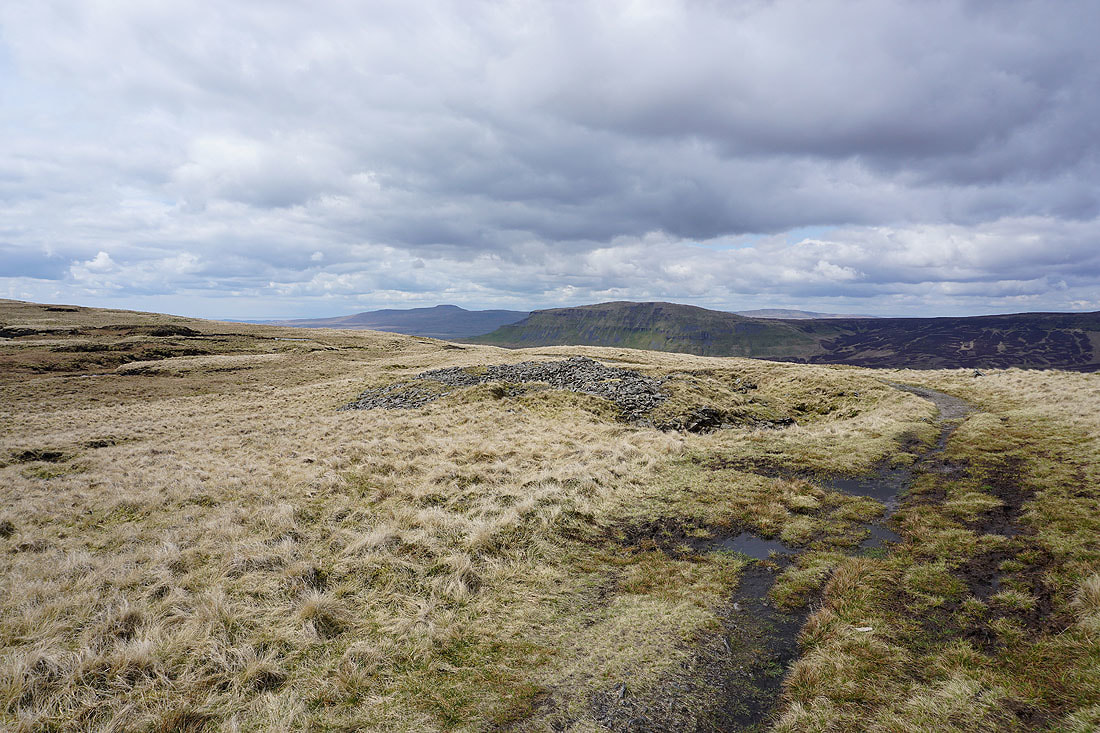
I've got another long weekend off work to enjoy and this time it's Saturday and Sunday that I have walks planned for. Today's destination is the Yorkshire Dales for a climb to the top of Fountains Fell. Apart from my first visit in 2010, when I did a route very similar to this one except in reverse, I've tagged Fountains Fell onto doing Plover Hill and Penyghent from Silverdale. On its own this time and by using the Pennine Way to reach the top. The day was a bit cloudy at times with a cool breeze, back to normal after last weekend's unseasonable warmth, though perfectly respectable for the end of April.
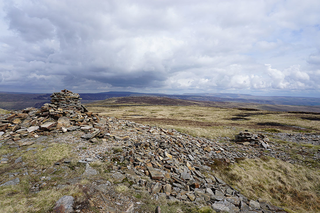
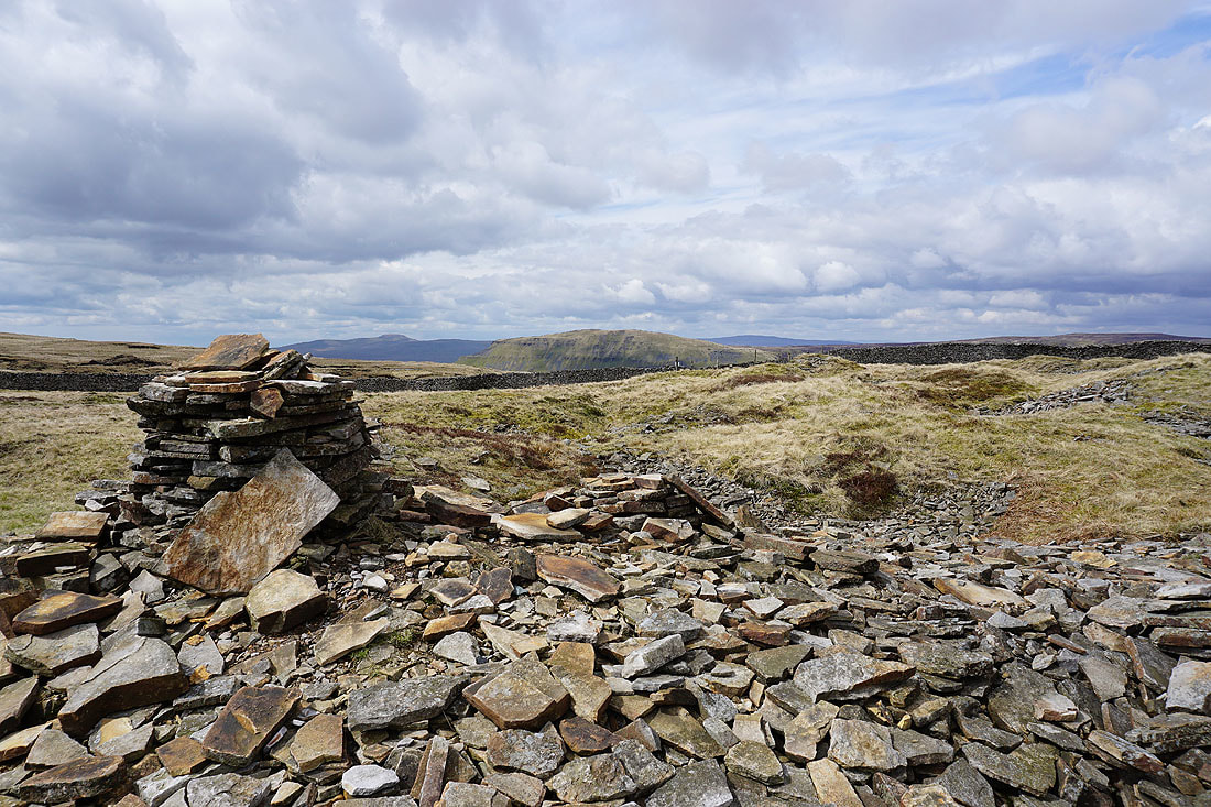
From the car park by the road past Malham Tarn I followed the trail of the Pennine Way past Malham Tarn, Malham Tarn House, then north to Tennant Gill Farm and up onto Fountains Fell. Lunch was had at the northern end of the summit. I left the trail behind to reach the summit cairn before heading south to Fountains Fell south top and down the ridge to the trig point on Knowe Fell. I continued south by the wall to pick up a bridleway that took me down to Henside Road. A rather long walk east along this road eventually brought me back to where I was parked.
Route map
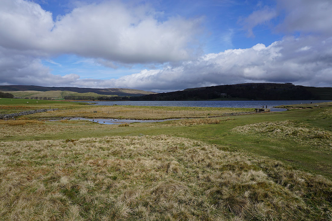
Setting off, I take the Pennine Way to Malham Tarn
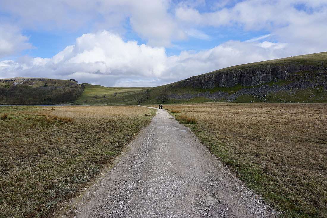
The Pennine Way leaves the shores of Malham Tarn to head beneath Great Close Scar
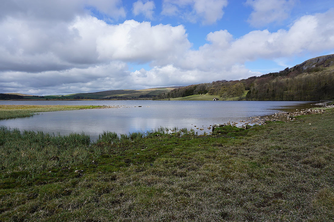
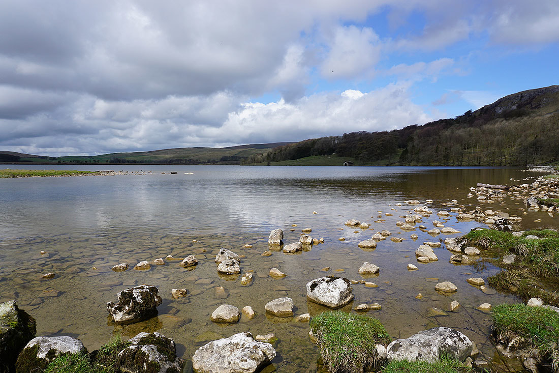
Back by the shores of Malham Tarn..
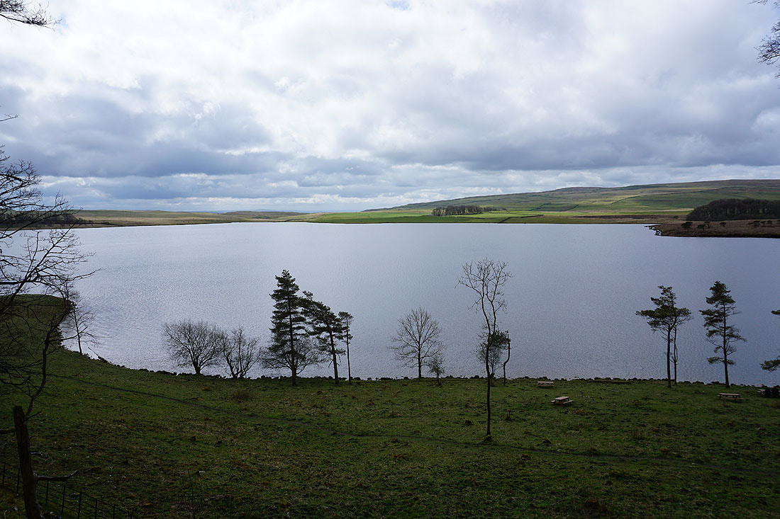
Malham Tarn from just past Malham Tarn House
On the Pennine Way to Tennant Gill Farm
The road to Arncliffe in Littondale
A hint of Malham Tarn in the distance as I start to climb Fountains Fell by the Pennine Way
Great Whernside in the distance on the left and the valley of Cowside Beck
Darnbrook Fell on the left and Great Whernside in the distance on the right
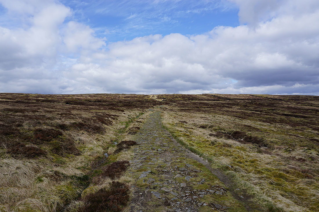
Almost at the top
Buckden Pike can now be seen in the distance on the left above Darnbrook Fell
Before I head for the summit cairn I stay on the Pennine Way for a little while longer to get this view of Ingleborough, Penyghent and Whernside
Buckden Pike and Great Whernside from a cairn at the northern end of the summit
Along with Ingleborough, Penyghent and Whernside
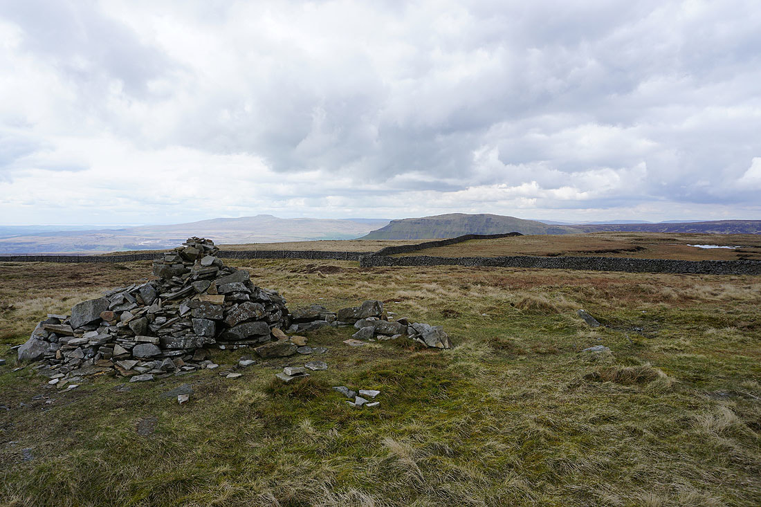
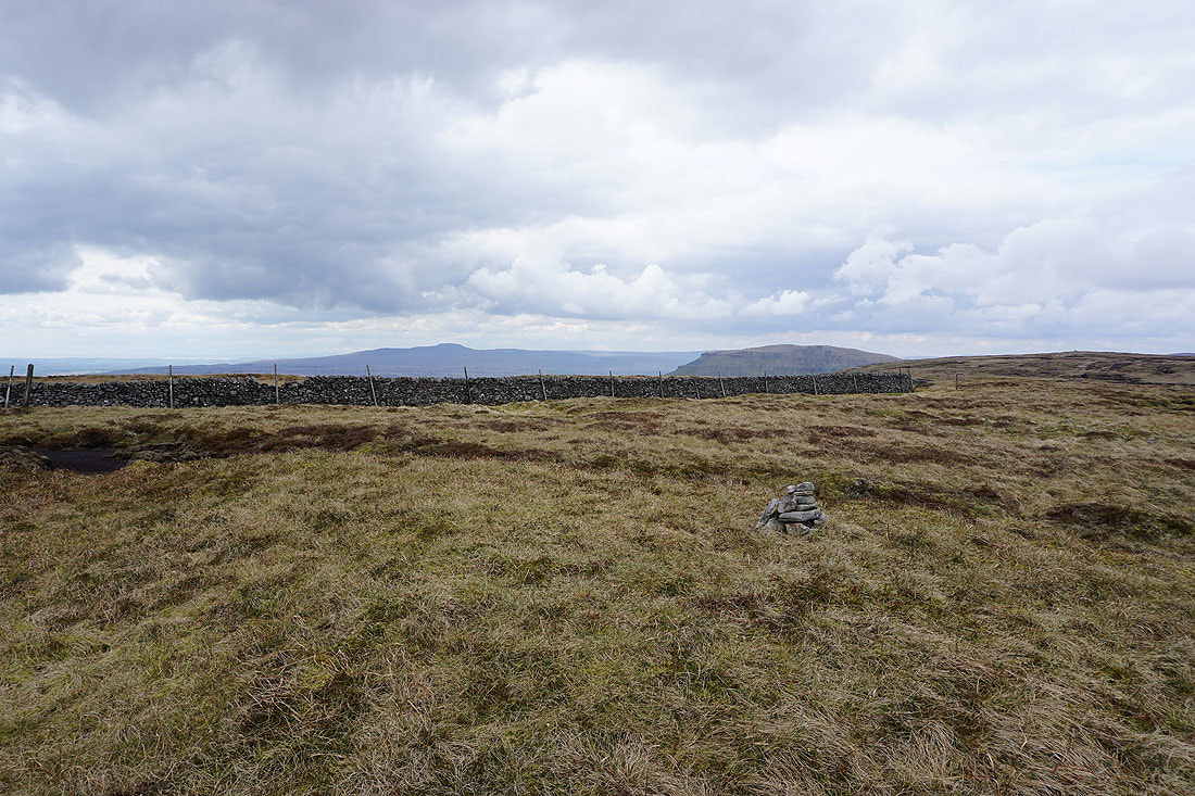
Ingleborough and Penyghent again but this time from the summit cairn
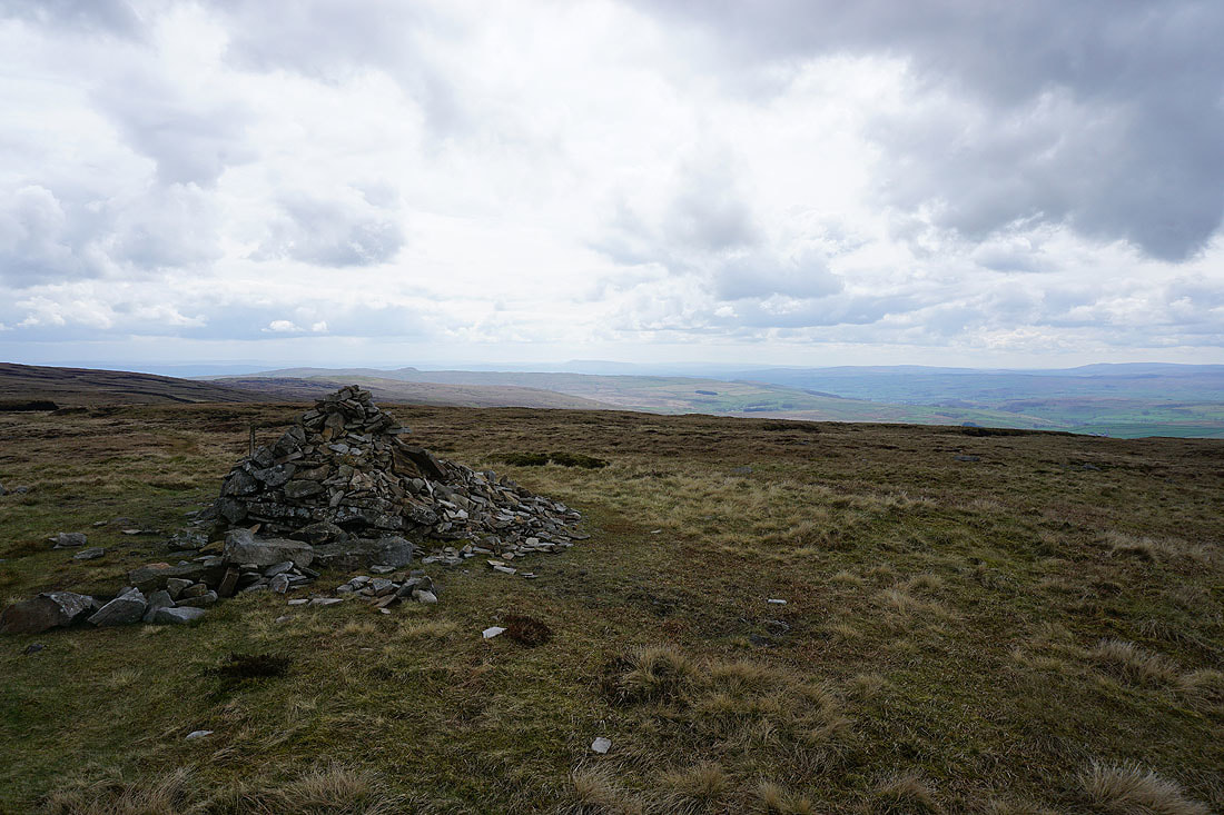
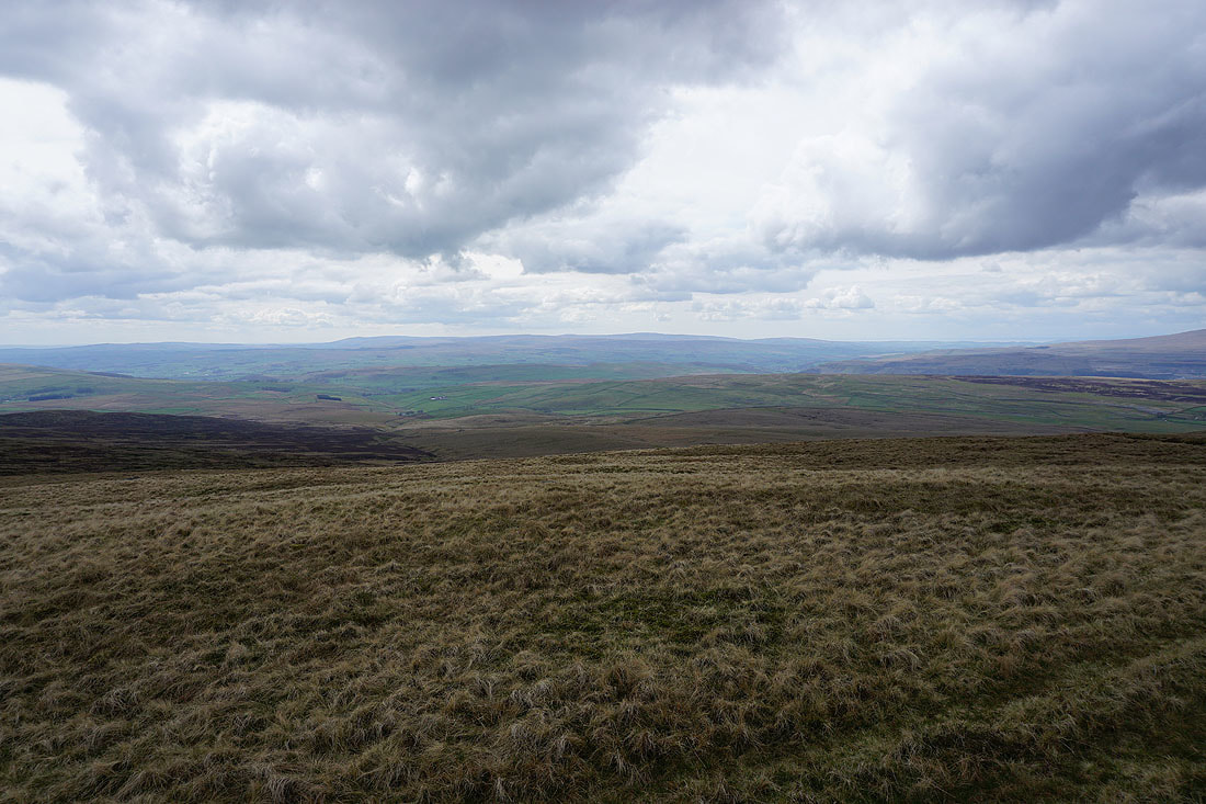
The outline of Pendle Hill to the south
Buckden Pike and Great Whernside
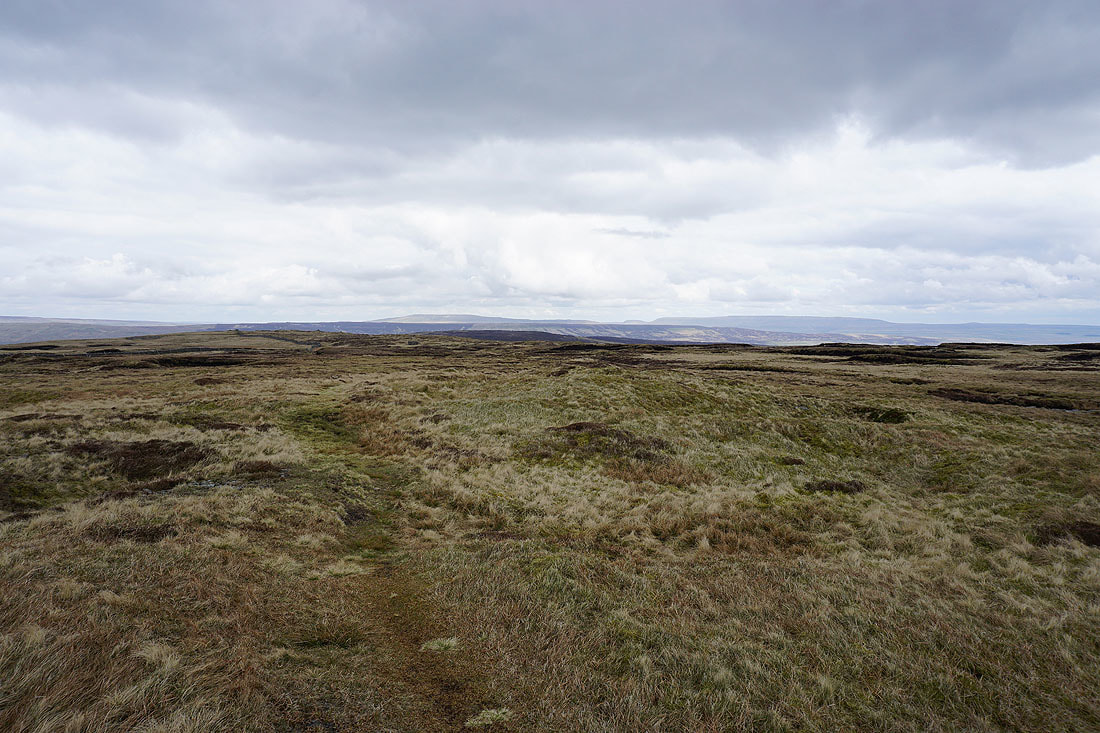
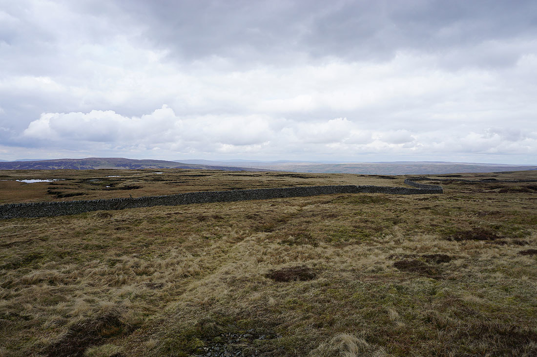
Fells to the north, including Dodd Fell Hill and Great Shunner Fell
The Forest of Bowland to the southwest
Ingleborough and Penyghent from Fountains Fell's south top
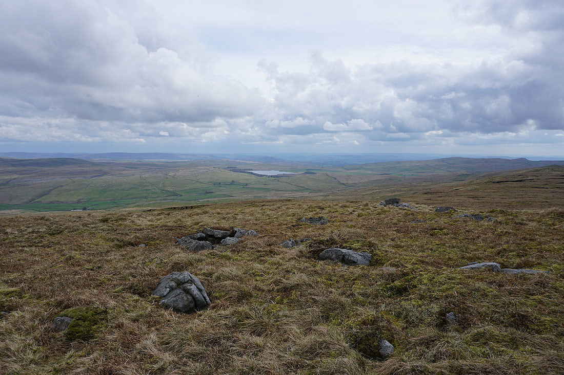
Malham Tarn and its surrounding moors..
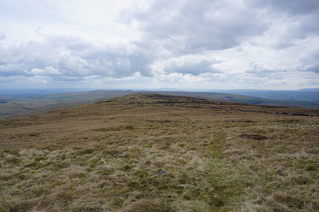
..as I head for Knowe Fell
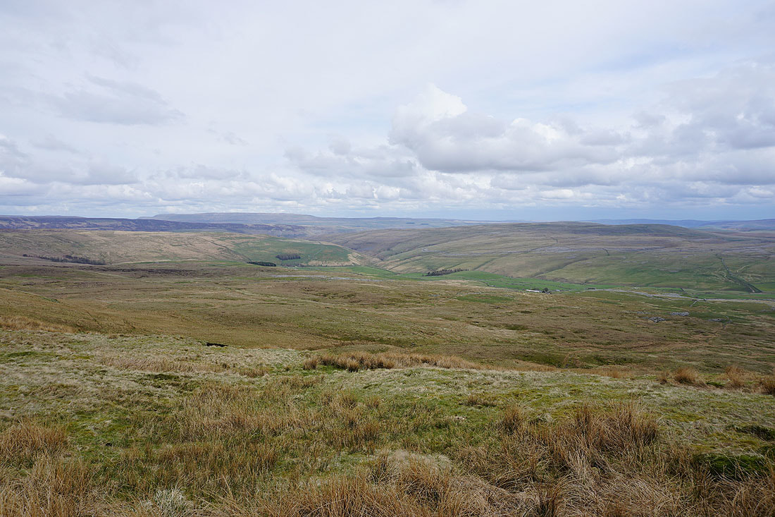
Great Whernside, the valley of Cowside Beck and the limestone moorland of Proctor High Mark
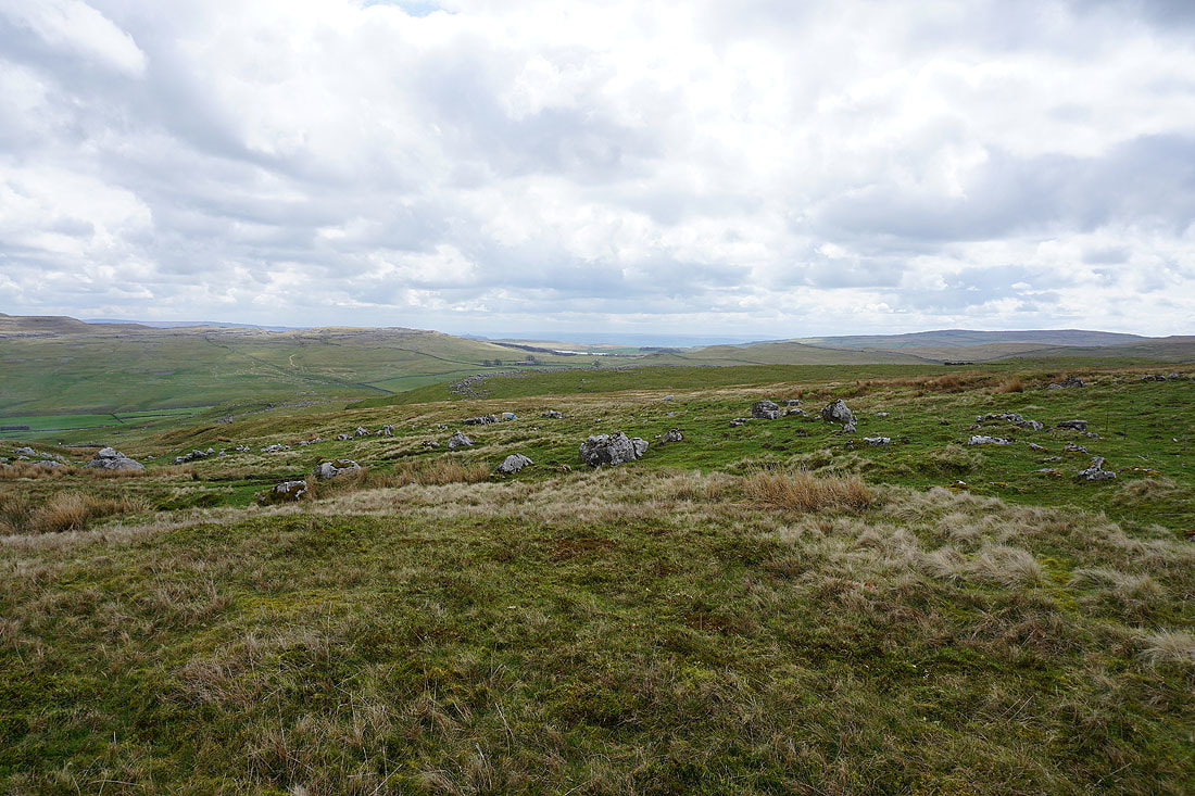
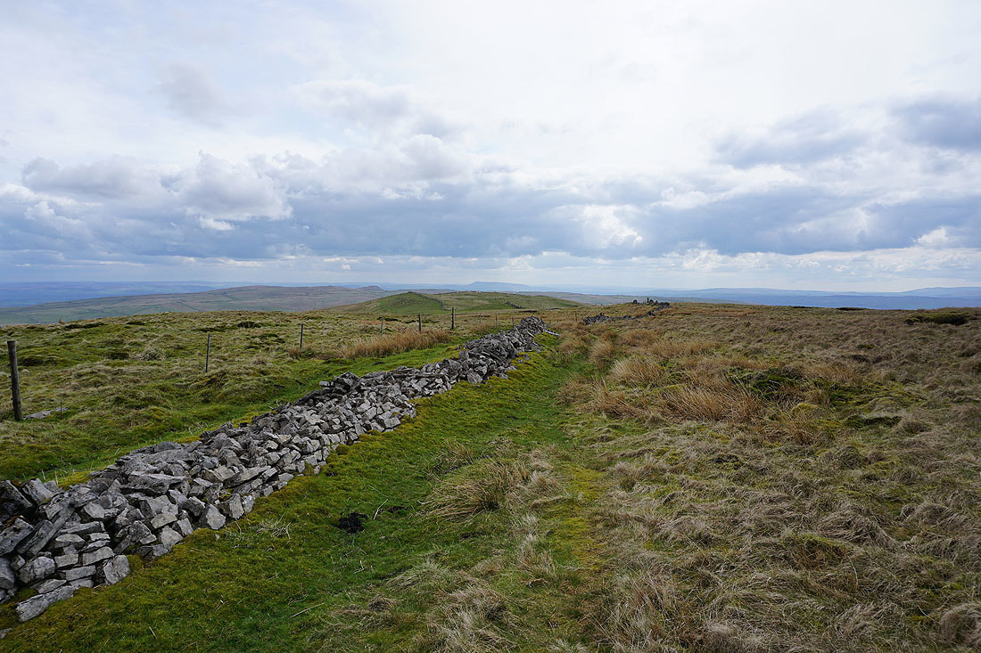
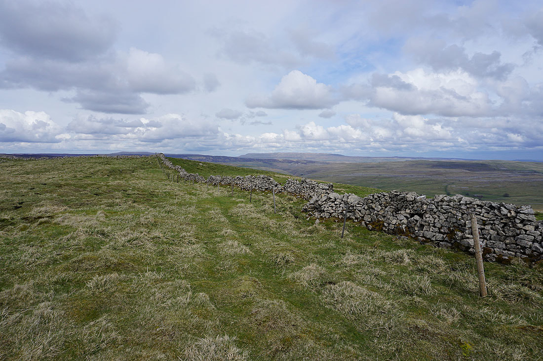
As I get closer to Knowe Fell the look of the terrain changes as limestone starts to appear underfoot
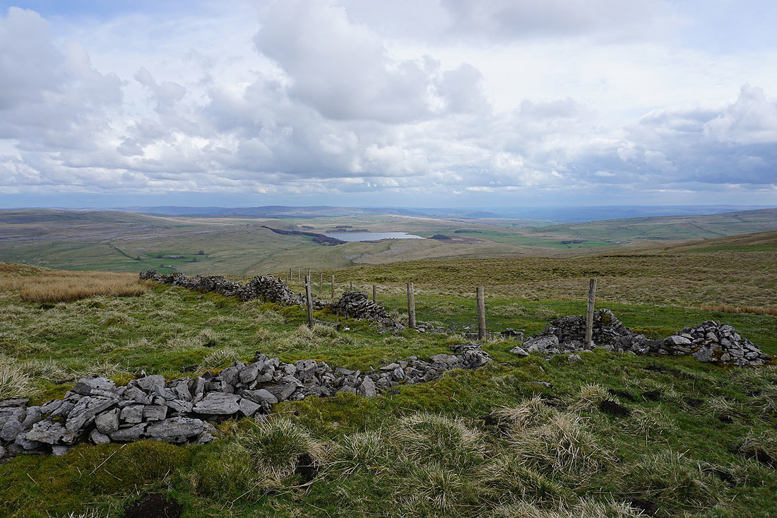
There's a great view of Malham Tarn from up here
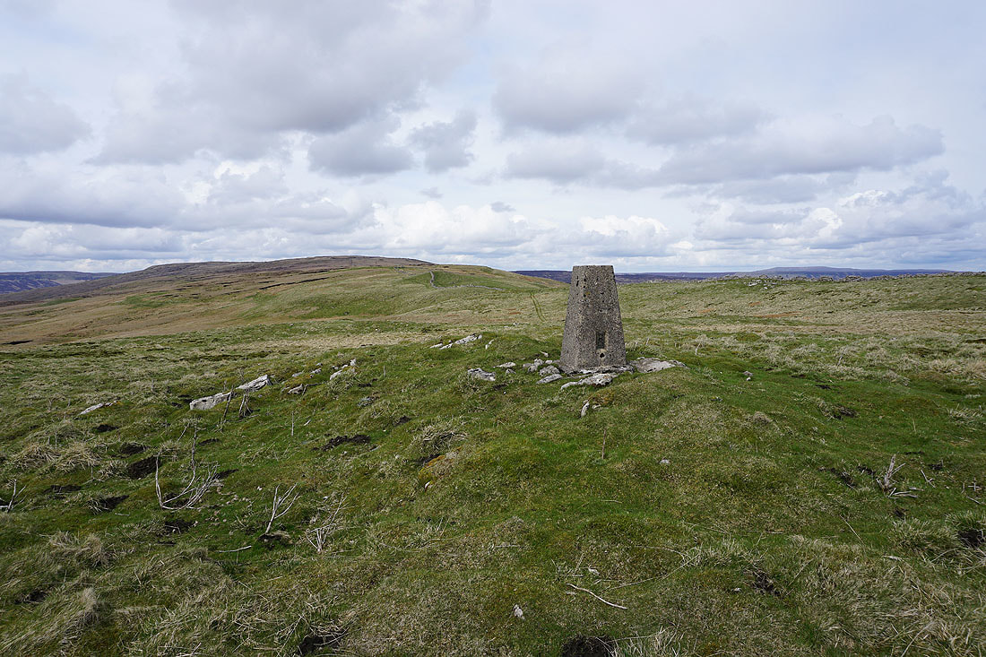
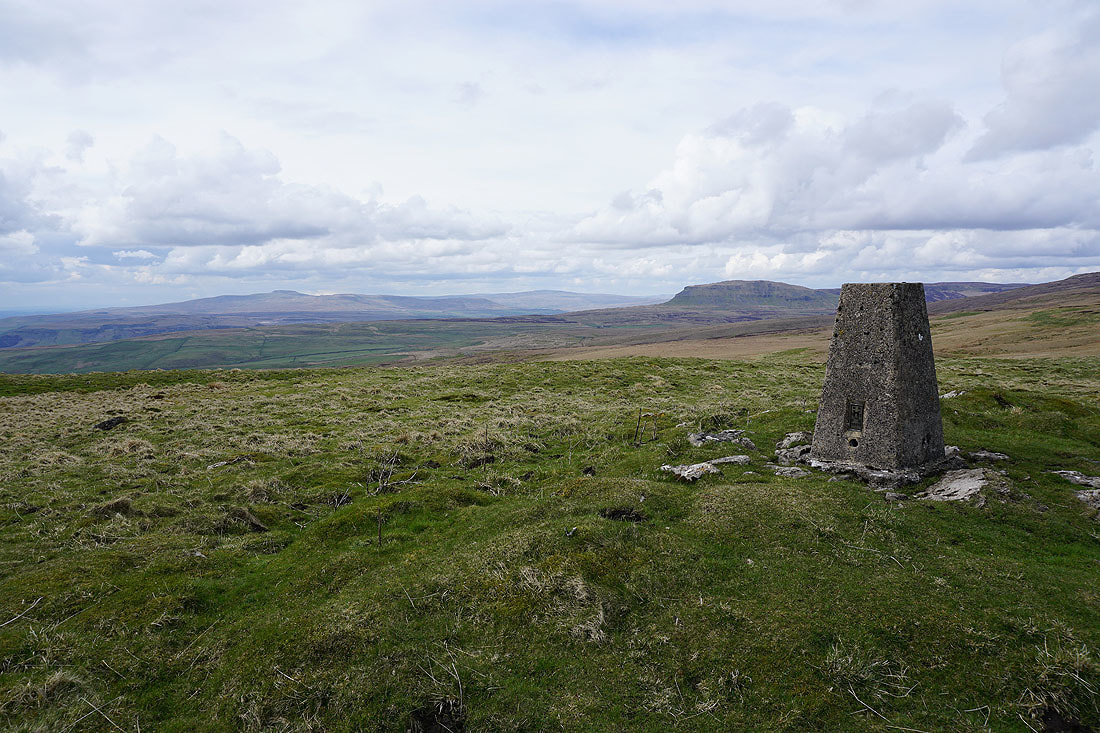
At the trig point on Knowe Fell. Looking back north to Fountains Fell.
Ingleborough, Whernside and Penyghent
Great Whernside in the distance
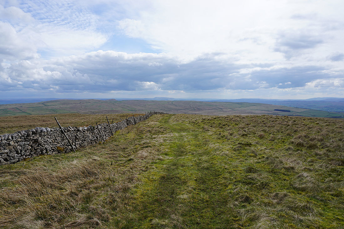
Pendle Hill in the distance as I head south down Knowe Fell
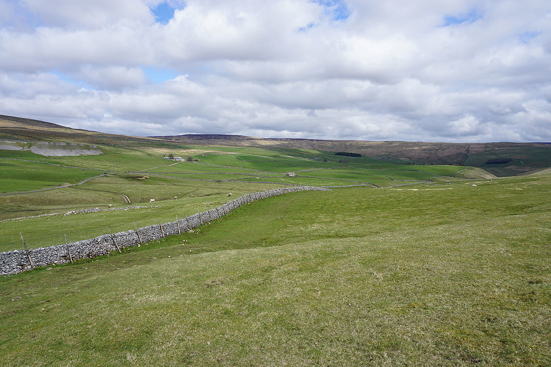
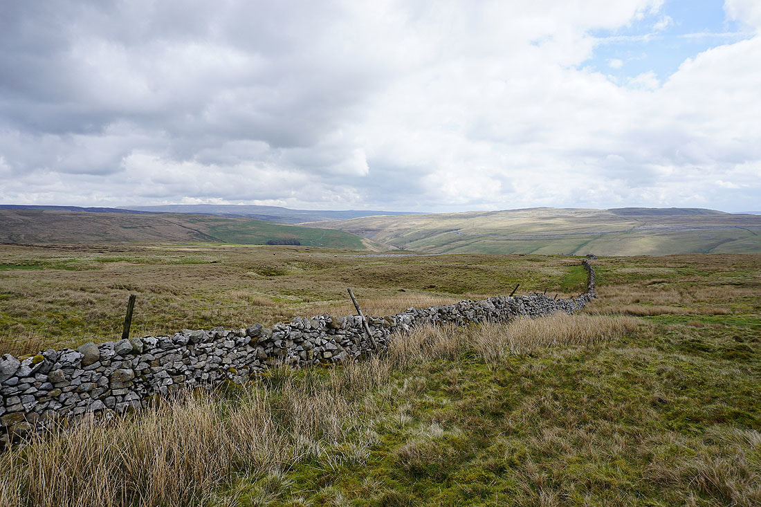
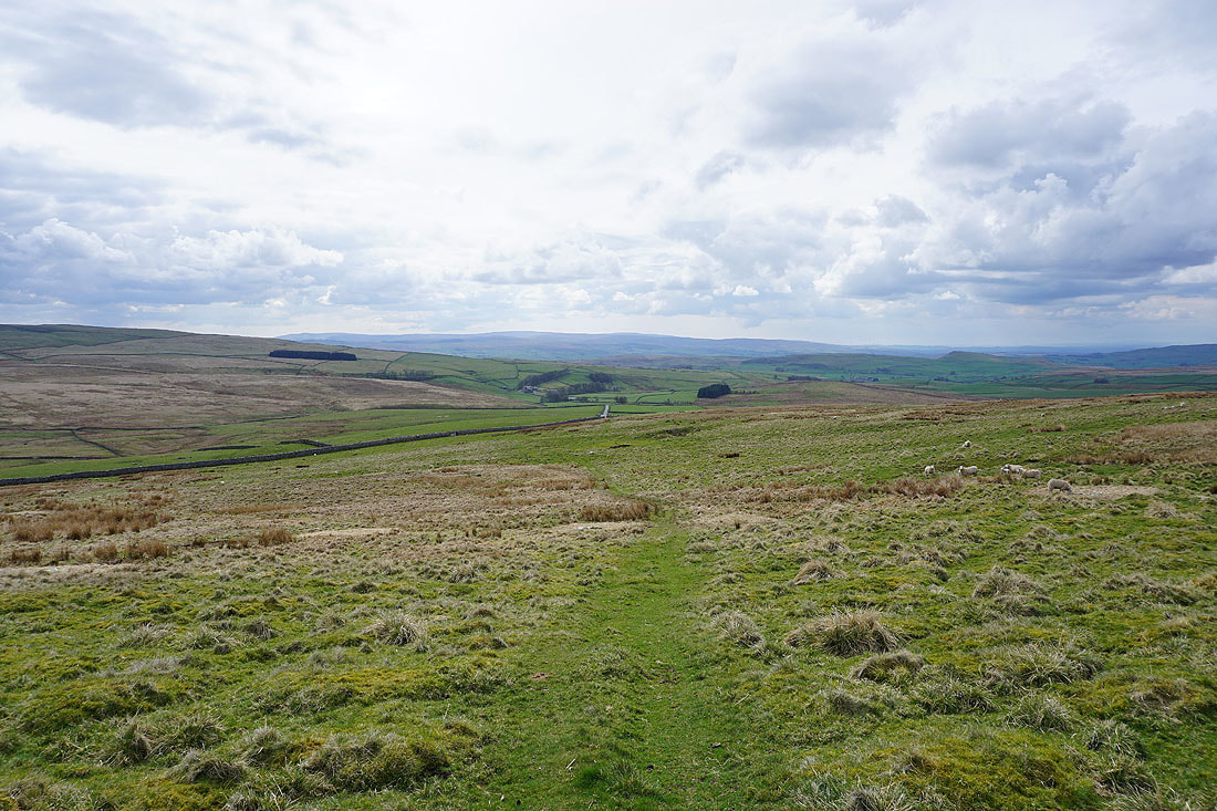
I get a view towards Ribblesdale as I approach the Langcliffe to Malham Tarn road
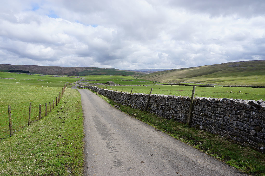
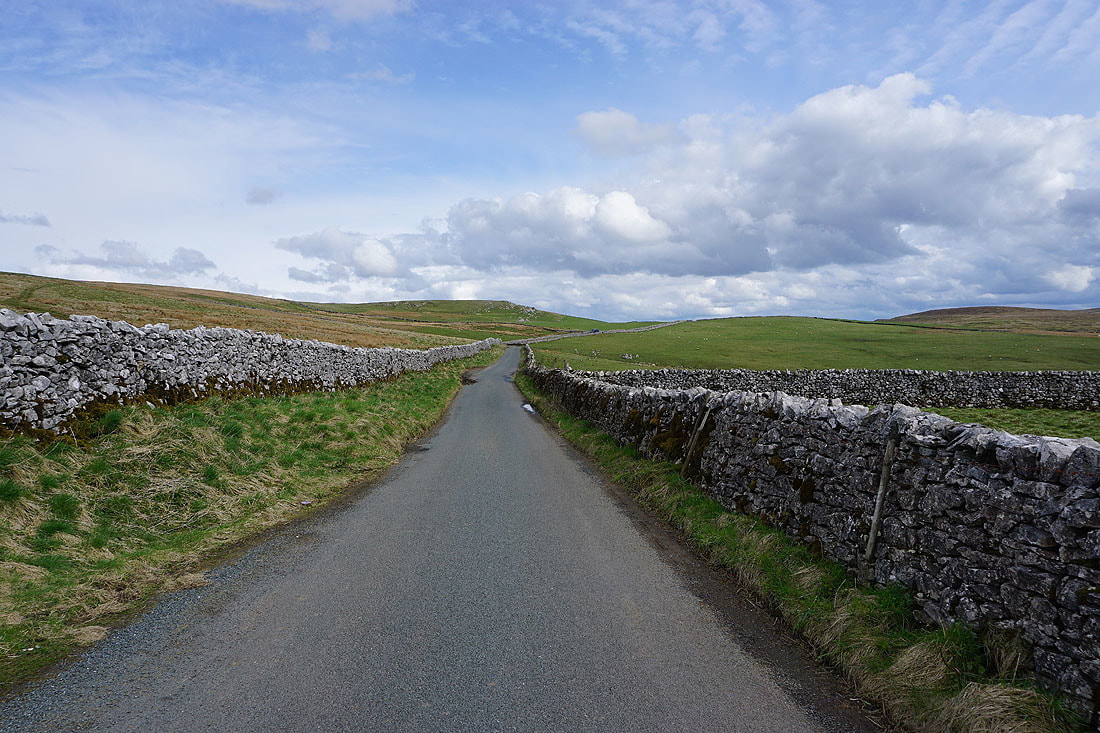
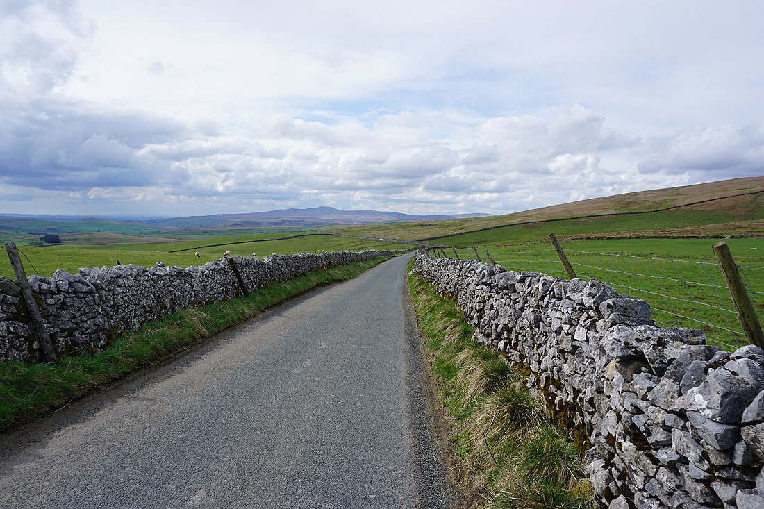
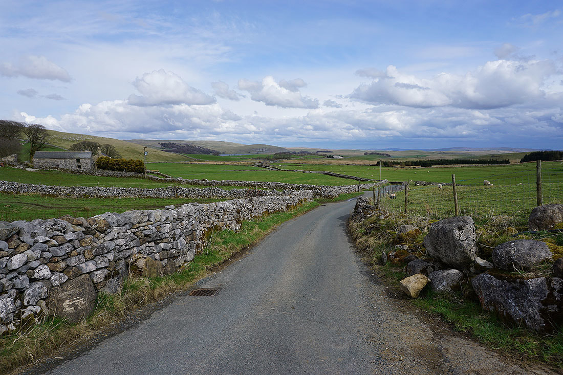
I'm left with a walk along the road to Malham Tarn to finish with, which isn't so bad on such a lovely afternoon...
