28th August 2021 - Penhill and Harland Hill
Walk Details
Distance walked: 11.1 miles
Total ascent: 2061 ft
OS map used: OL30 - Yorkshire Dales, Northern & Central areas
Time taken: 6.5 hrs
Route description: West Burton-Cauldron Falls-Knarlton Knott-Morpeth Scar-High Lane-Flint Lane-Penhill Park-Penhill-Height of Hazely-Harland Hill-Whiterow Road-Cote Bridge-Dame Lane-West Burton
I travelled all the way north to Wensleydale for my first walk of the Bank Holiday weekend, or to be exact Bishopdale and Waldendale, which are side valleys of Wensleydale. I'd worked out a route that started from West Burton, and took in Penhill and Harland Hill. I was already familiar with Penhill from a walk that I did from West Witton in 2019 but I wanted to follow the moorland south from Penhill to Harland Hill and on towards Fleensop Moor, so setting off from West Burton made sense, and it also gave me the opportunity to visit Cauldron Falls. Apart from a few people on Penhill I more or less had the moors to myself, and I had the best weather of the weekend for enjoying those wide open spaces. Lots of warm late summer sunshine, a gentle breeze, great visibility for taking in the views, and heather in bloom to add some extra colour to the moors.
From where I parked in West Burton I walked down the road of Front Nook and turned right onto the footpath to the bridge over Walden Beck. After taking some photos of Cauldron Falls I crossed the bridge and took the footpath uphill through fields and a wood to reach the open moor on Knarlton Knott. I then made my way north along a footpath and then track to Morpeth Scar, where I joined the track of High Lane, which I followed east to reach the road on Witton Steeps. As the track meets the road I took a footpath on the right up to the track of Flint Lane, and after a short walk east along this I took a concessionary path on the right up to the bridleway on the moorland of Penhill Park, which took me west up onto Penhill. After a stop for lunch I made my way west along the northern edge of Penhill, past Penhill Scar and Black Scar, then southwest round the edge of the moor until I reached a wall, which I crossed and followed up to the top of Height of Hazely. I then made my way south from Height of Hazely to Harland Hill, and down to the bridleway from Horsehouse in Coverdale across Fleensop Moor to Waldendale, which took me north down to Whiterow Road in Waldendale. I then walked down Whiterow Road until I reached Cote Bridge, where I took a footpath on the right by Walden Beck to a footbridge, which I crossed, and I then followed the footpath up to Dame Lane. After a short walk north along Dame Lane I reached a footpath up a track on the left, which took me up to the top of West Burton, and a short walk down through the village to where I was parked.
Route map
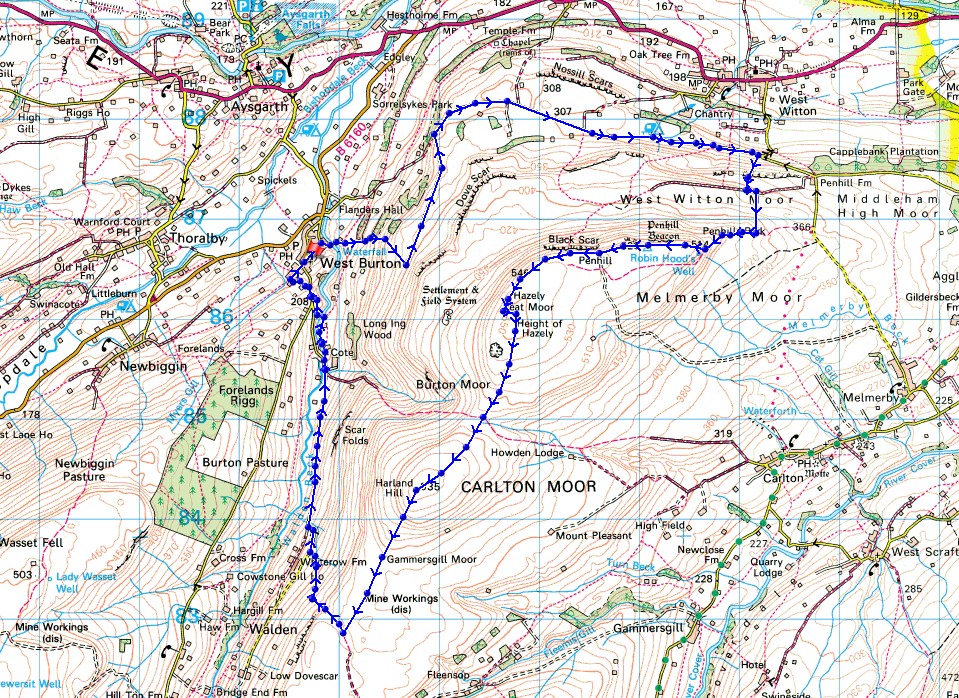
© Crown copyright. All rights reserved. License number PU 100034184.
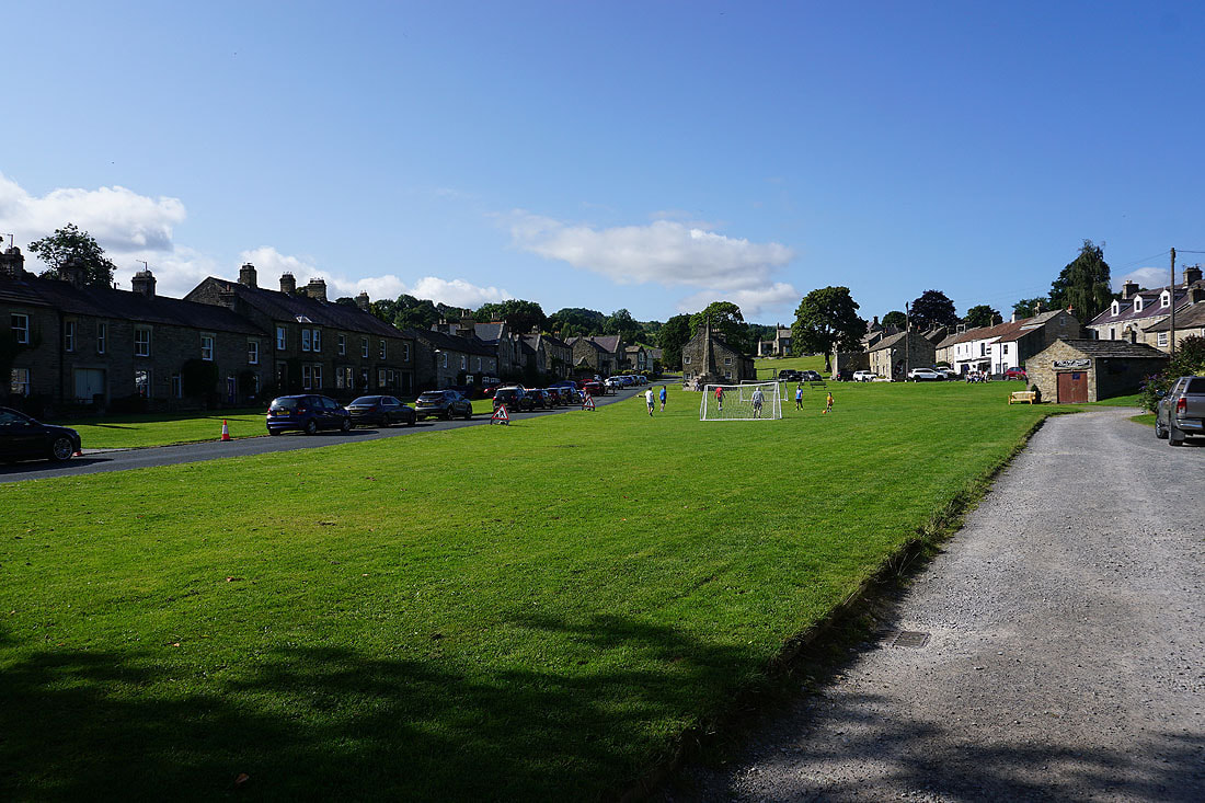
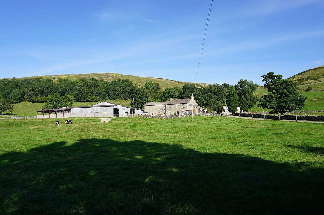
West Burton on a fine summer's morning
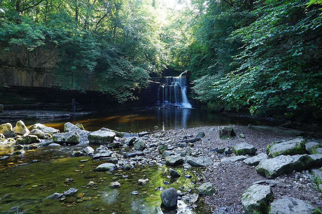
Before I leave West Burton behind I must have a look at Cauldron Falls..
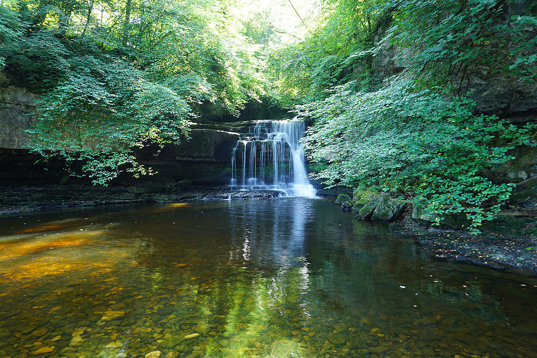
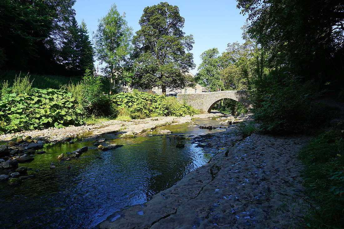
Beneath Cauldron Falls Walden Beck flows under the bridge carrying the footpath over the beck
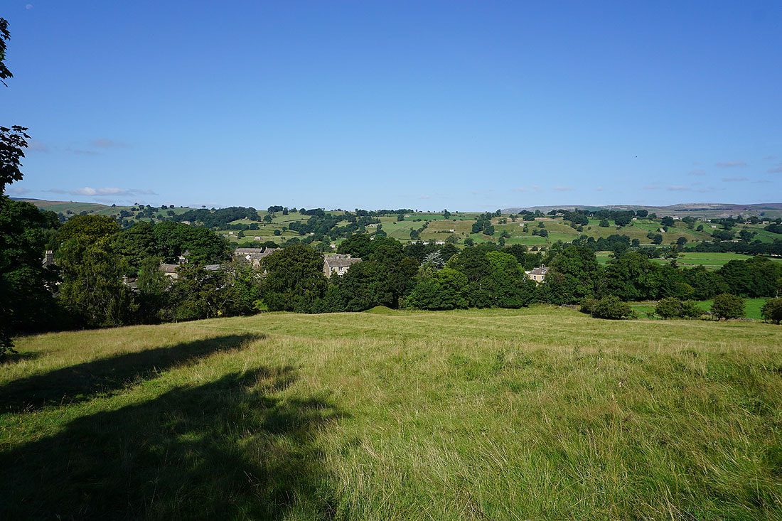
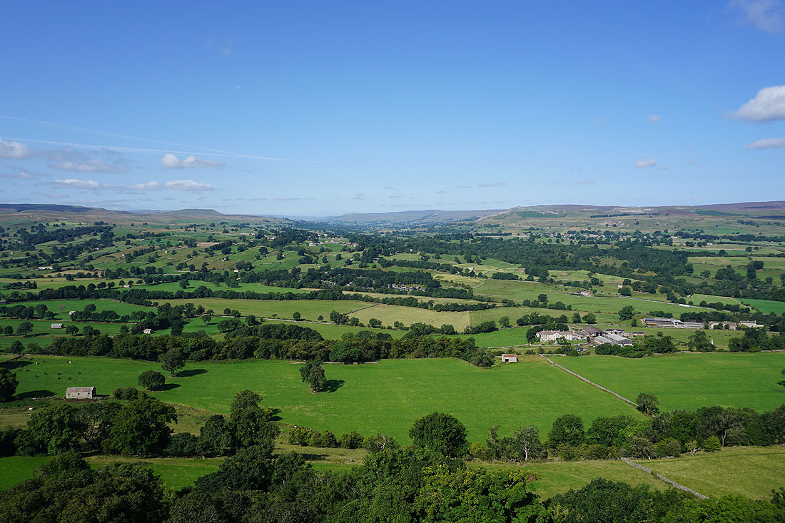
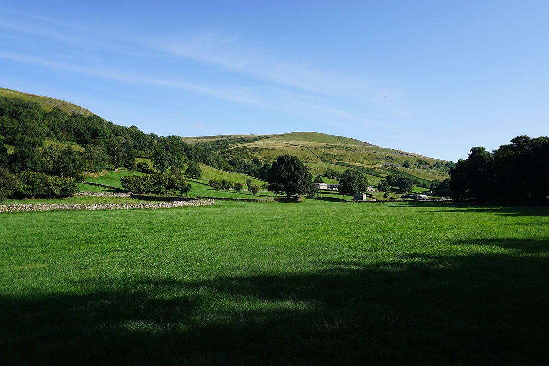
West Burton and Bishopdale appear as I a follow a footpath up onto the open moor..
A great view of West Burton and across Bishopdale to Stake Fell and Aysgarth Moor as I reach the footpath to Morpeth Scar
Following the footpath north to Morpeth Scar with views across Bishopdale to my left...
On Morpeth Scar. This is a great spot for taking in the view up Bishopdale, with Wasset Fell on the left and Stake Fell on the right.
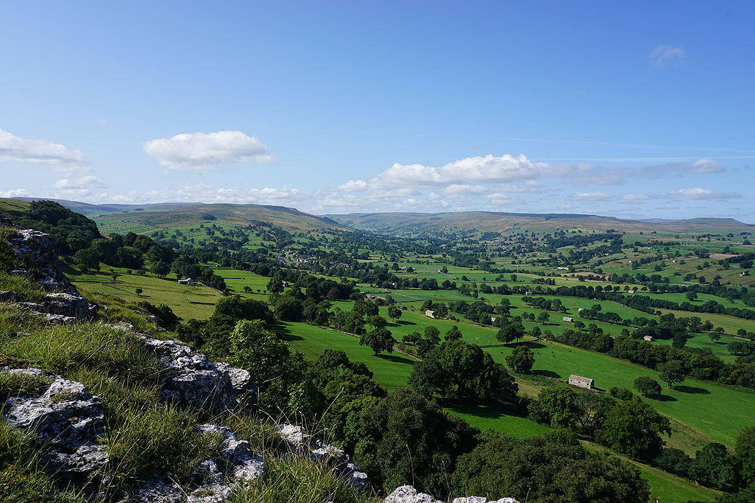
The view west up Wensleydale past where it and Bishopdale meet isn't that bad either. The distinctive profile of Addlebrough stands out on the left, and there's Ivy Scar and Carperby Moor on the right.
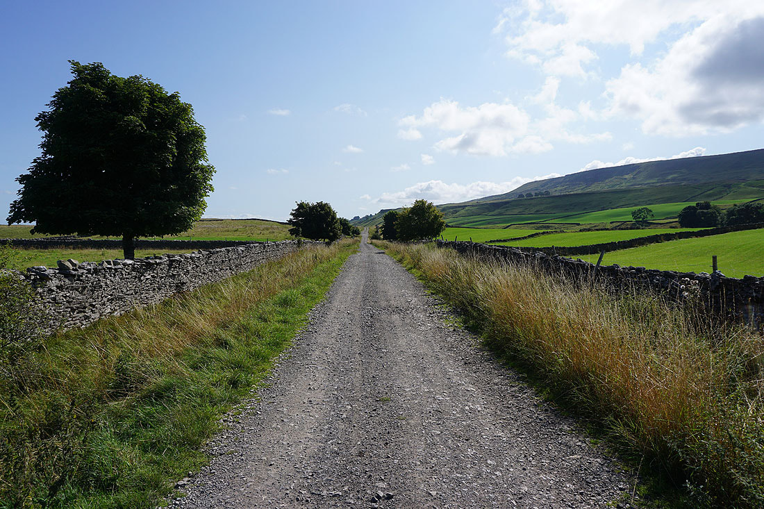
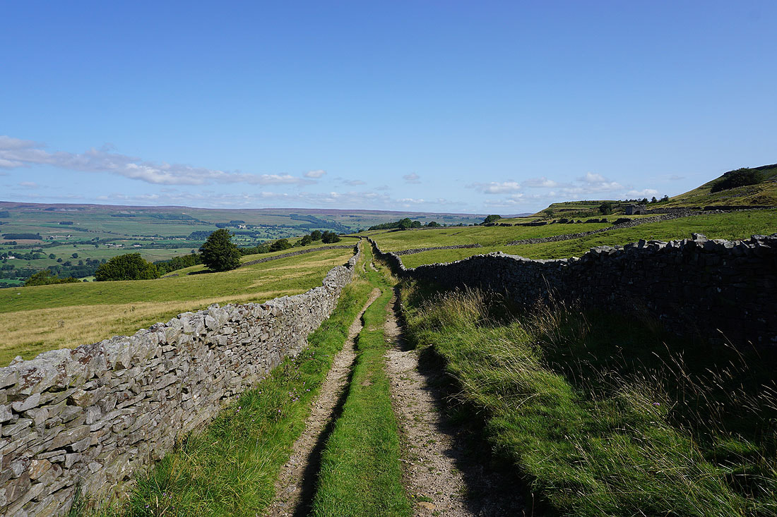
Heading east along the track of High Lane
Blue skies above green fields to my left
Looking back along High Lane
Further east along High Lane and Wensleydale appears to my left
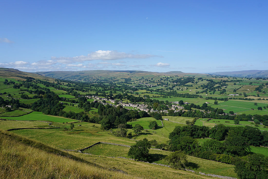
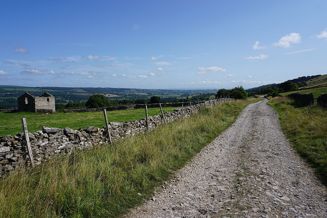
I've made my way up to Flint Lane from High Lane and I can now see the village of West Witton below
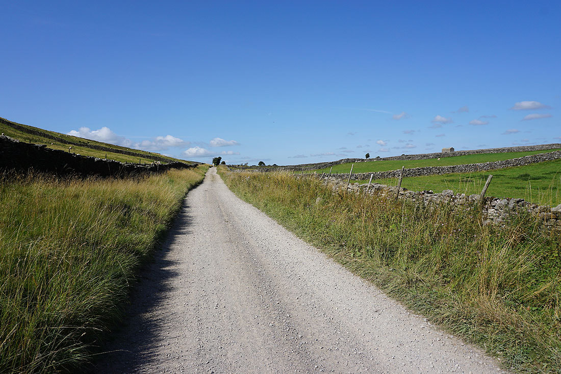
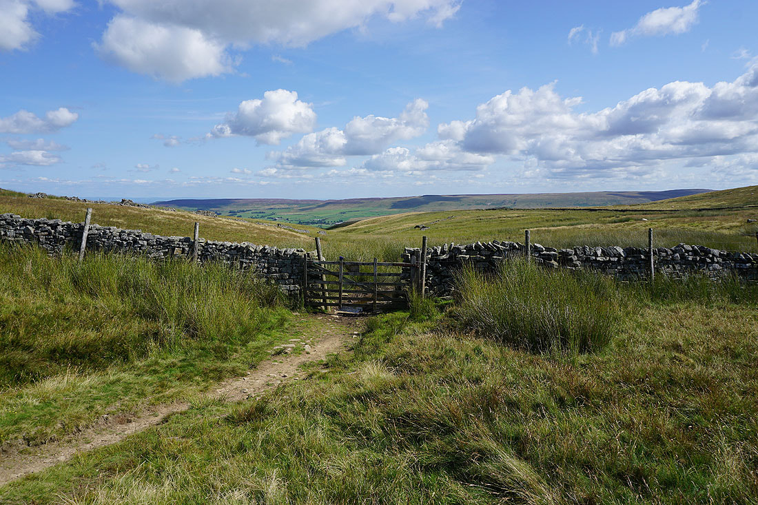
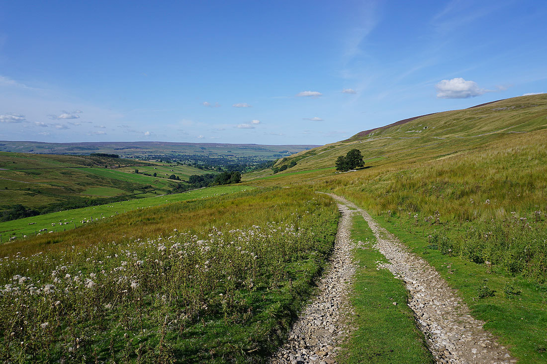
From Flint Lane I follow a concessionary footpath up to the bridleway on the moor of Penhill Park
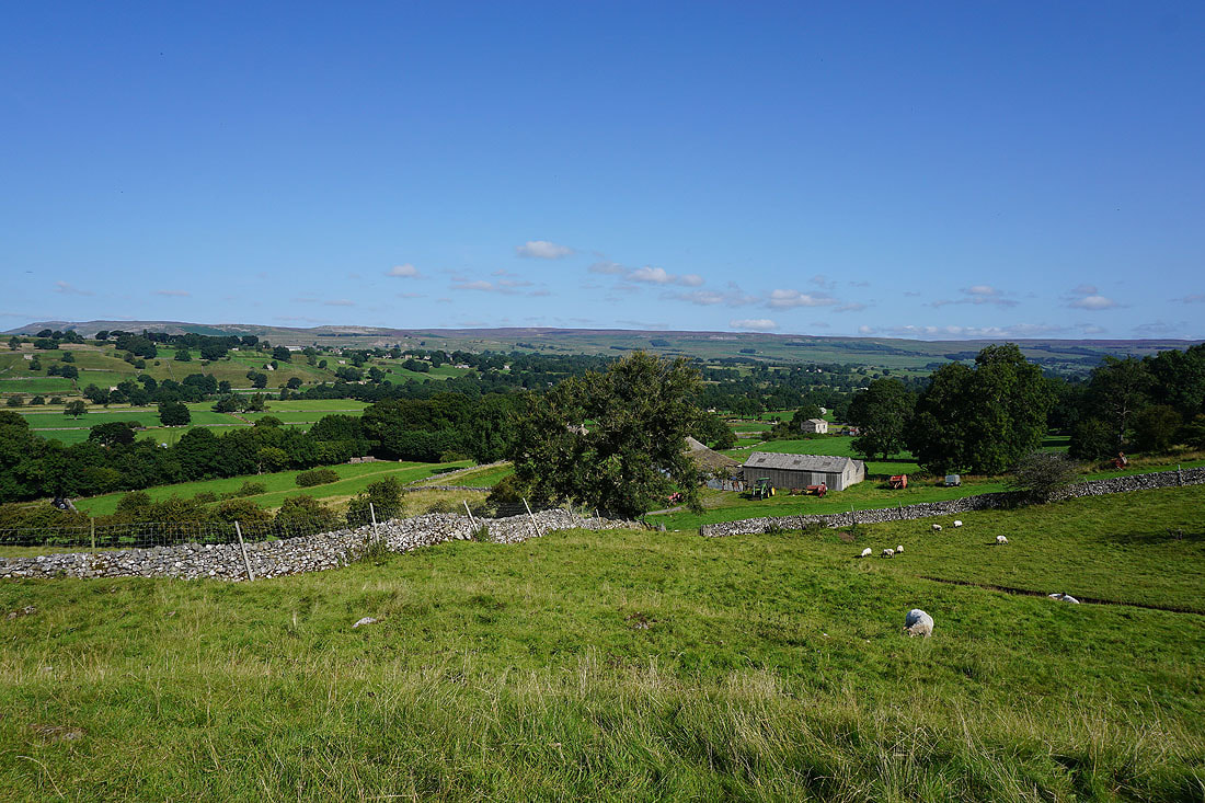
On the bridleway on Penhill Park. Looking east with Middleham Low Moor below and Braithwaite Moor on the right, on the other side of Coverdale.
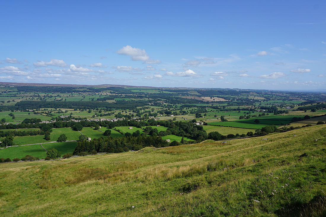
The view of Wensleydale from my lunch stop on the eastern end of Penhill..
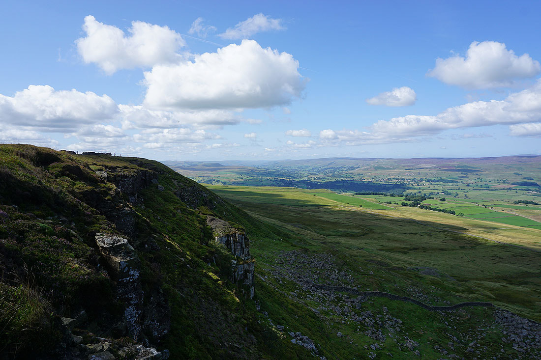
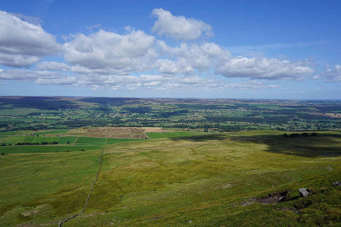
Before heading west along the northern edge of Penhill I've made my way back to Penhill Beacon at the eastern end of Penhill. The visibility is good enough today to make out the North York Moors in the distance to the east.
At the trig point on Penhill
Wensleydale from Penhill Scar..
On Black Scar. Looking west up Wensleydale to Askrigg Common, Ivy Scar and Carperby Moor..
..and east down Wensleydale towards Leyburn
The view across Wensleydale to Redmire, Redmire Moor and Preston-under-Scar
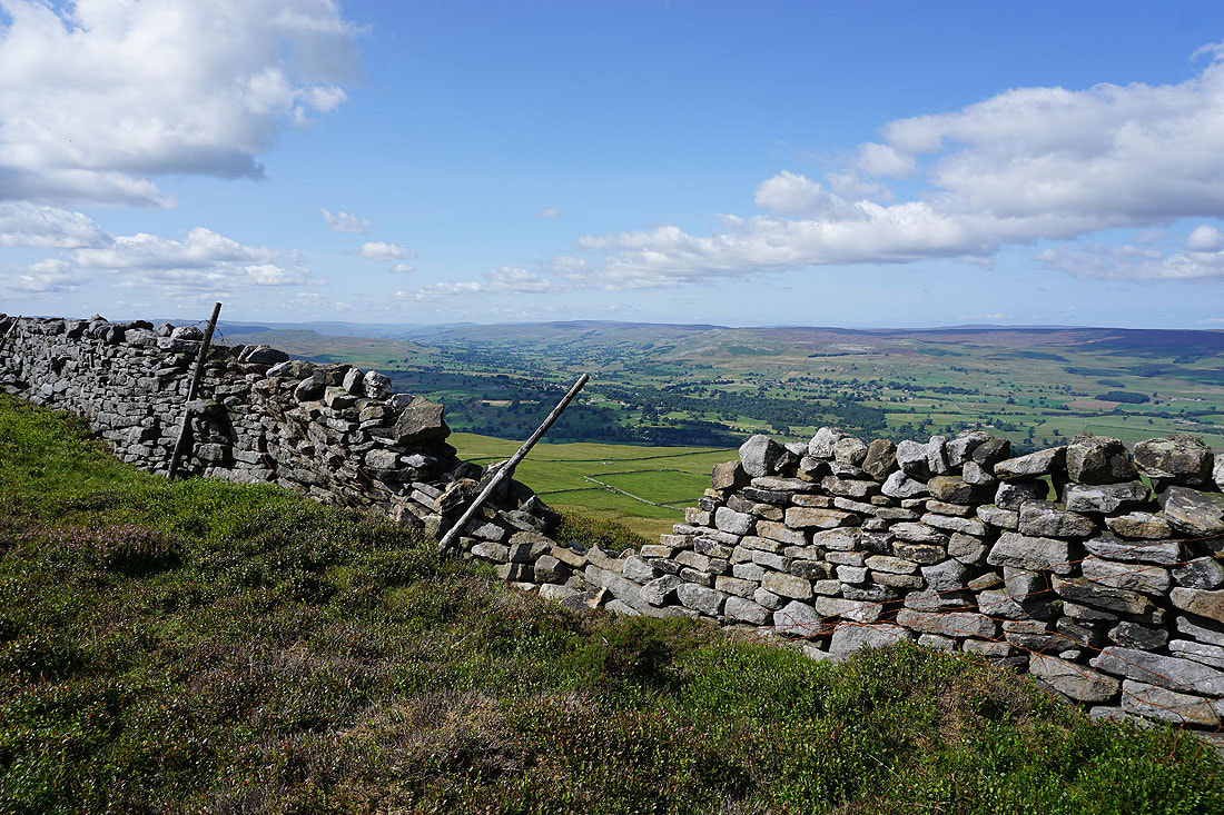
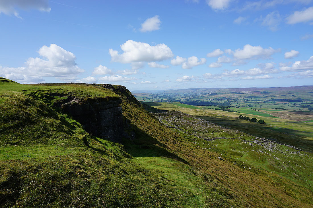
At the western end of Black Scar and I've had to cross the wall on the northern edge of the fell. A break in it gives me a view up Wensleydale to Abbotside Common, Askrigg Common and Carperby Moor.
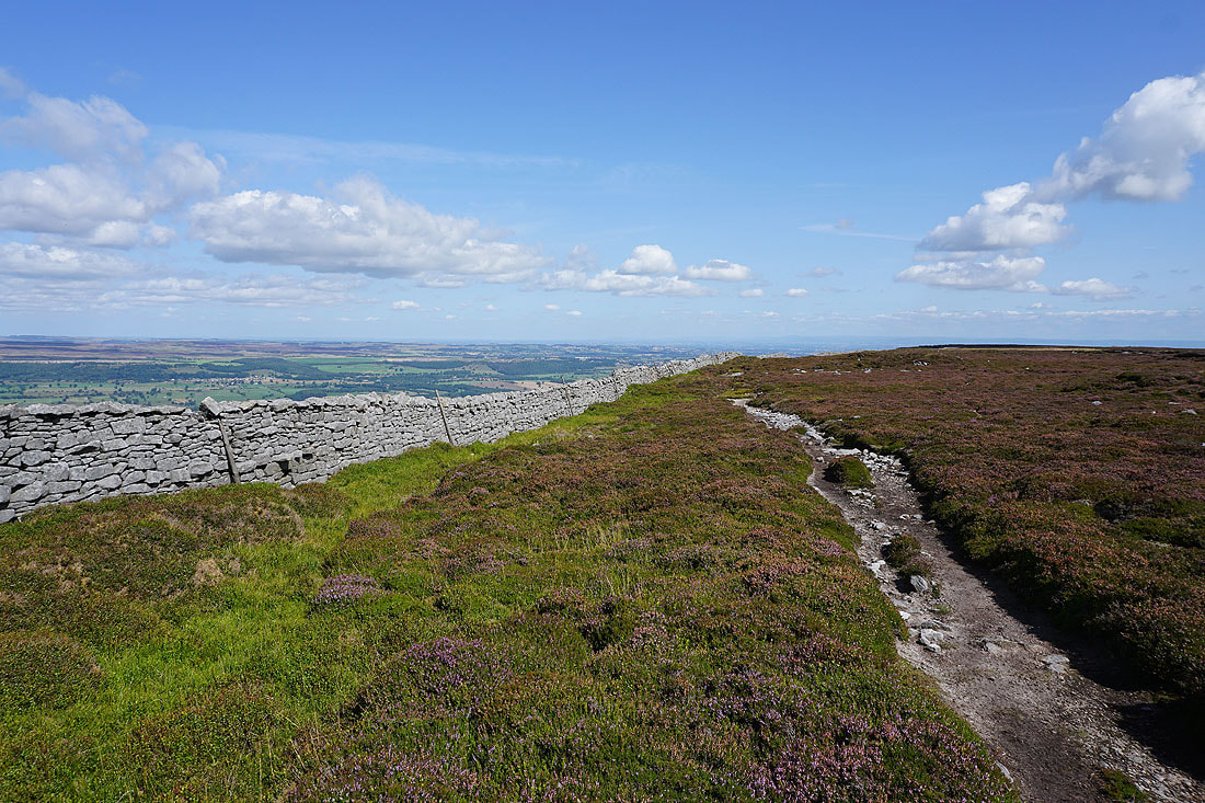
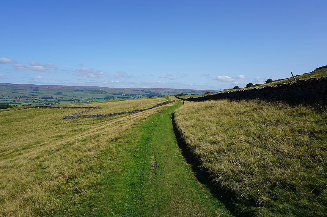
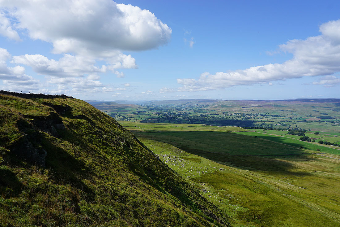
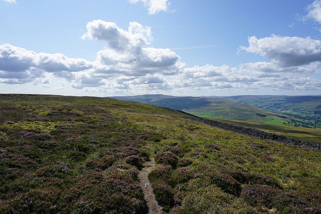
Looking back east along the northern edge of Penhill
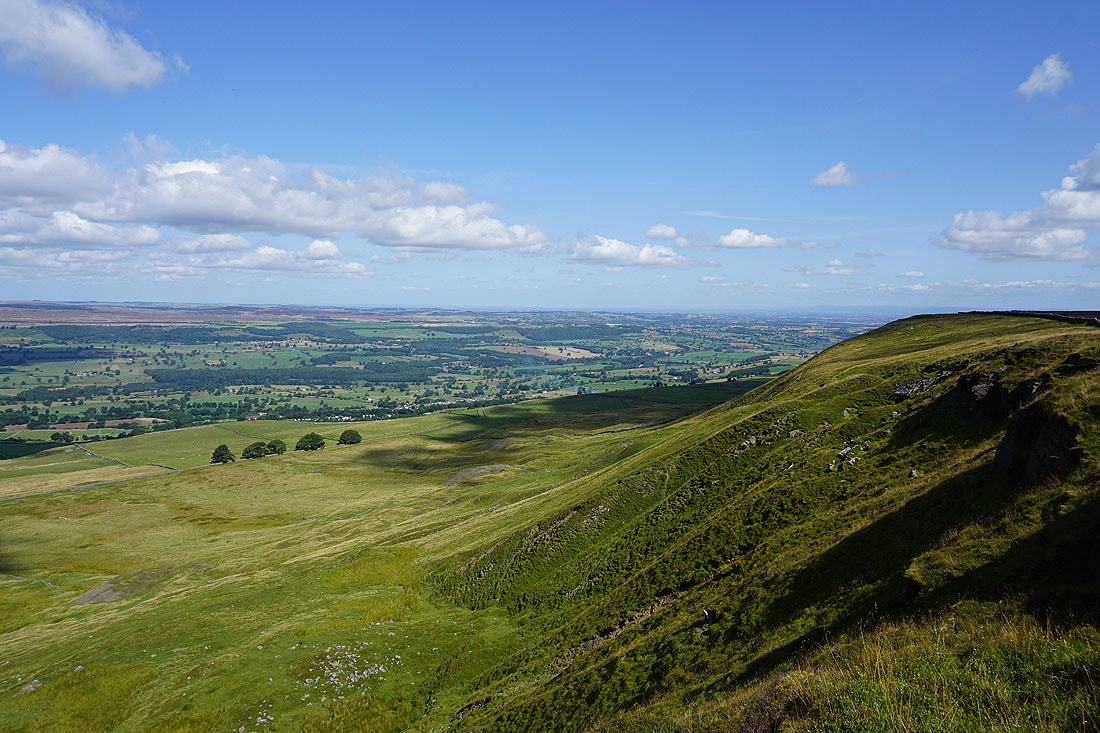
As the path contours to the southwest along the edge of the moor the fells around Bishopdale come into view
As well as Buckden Pike at the head of Waldendale
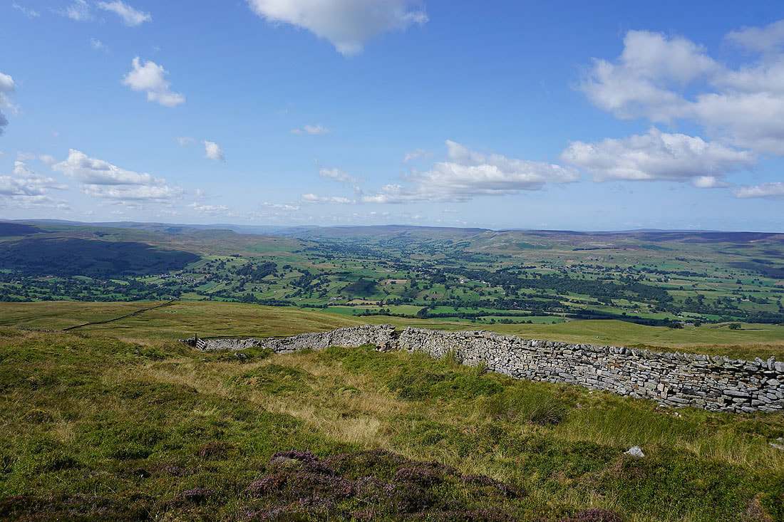
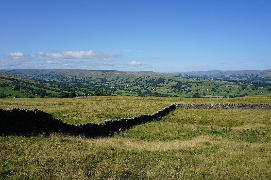
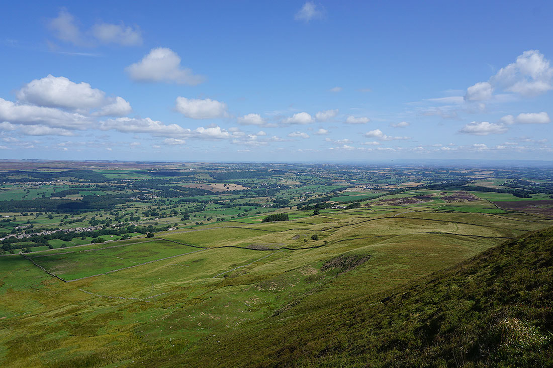
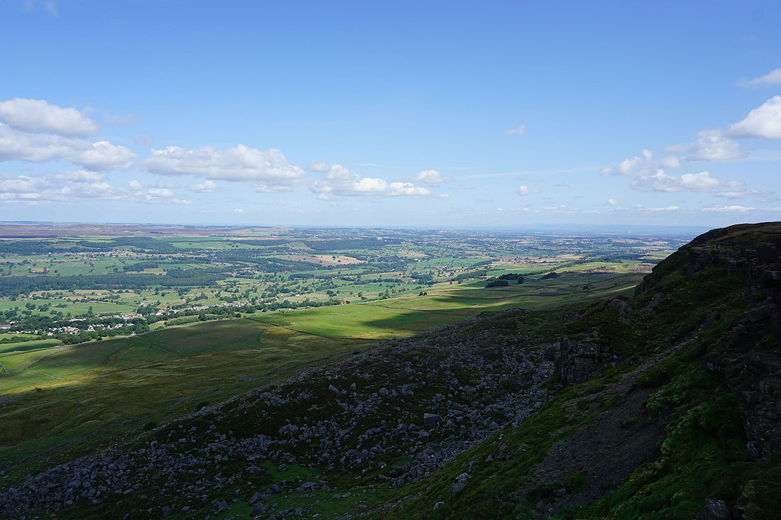
Looking west across the foot of Bishopdale and up Wensleydale to Addlebrough, Abbotside Common, Askrigg Common and Carperby Moor.
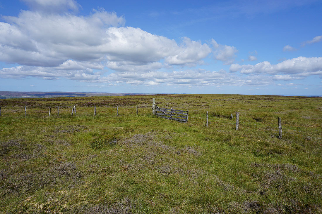
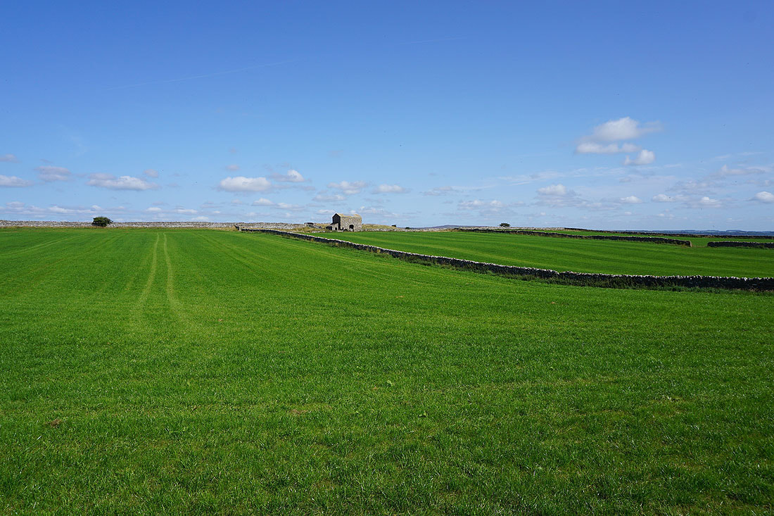
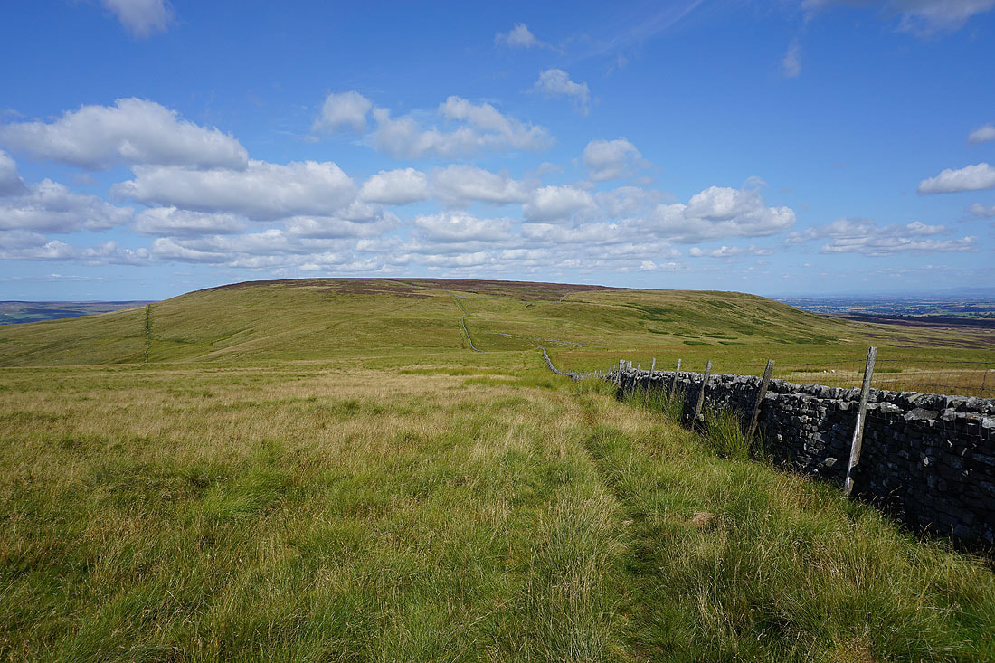
A short time later and I'm at the rather uninspiring summit of Height of Hazely
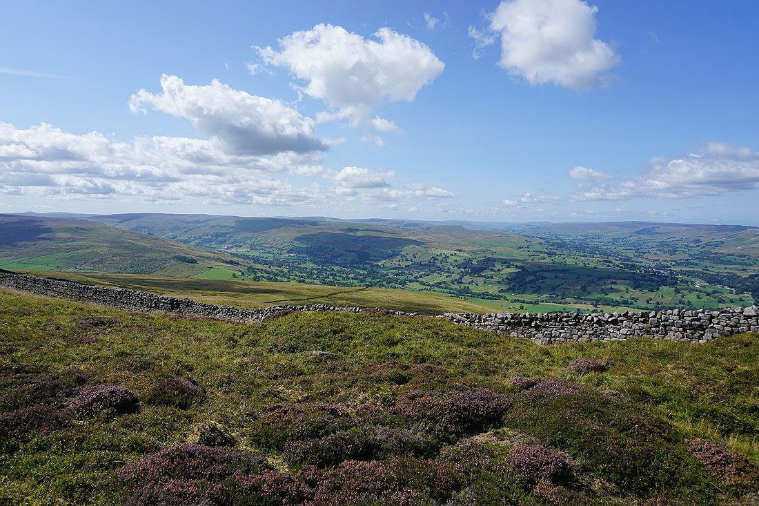
Heading south for Harland Hill with Great Whernside and Buckden Pike in the distance
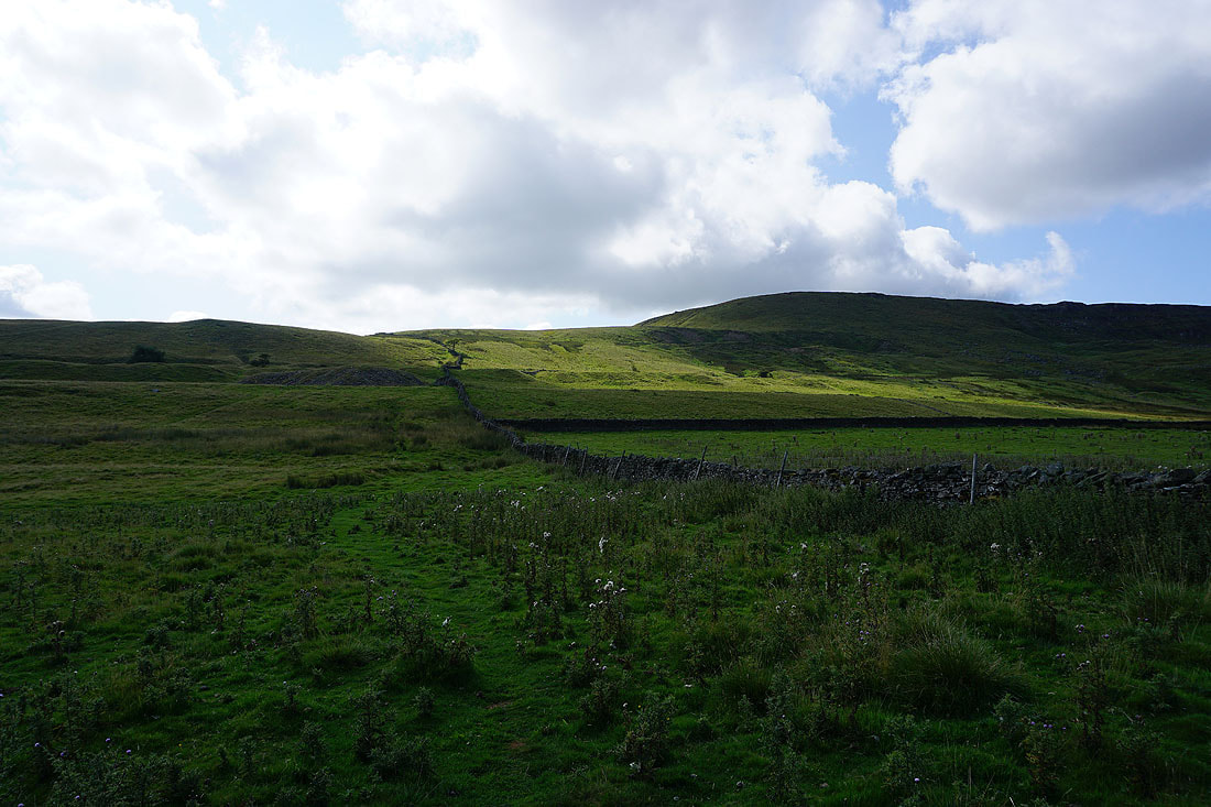
The bridleway between Waldendale and Coverdale
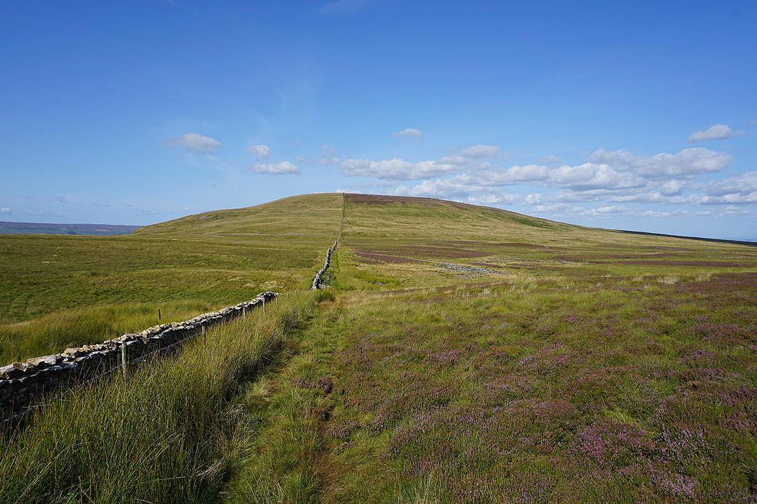
Looking back to Height of Hazely as I make my way up Harland Hill
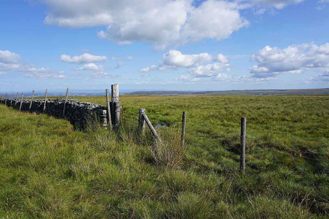
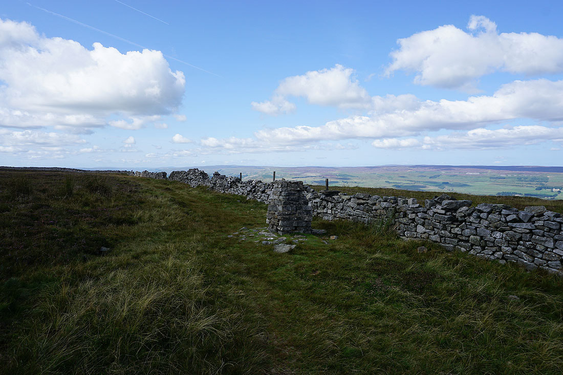
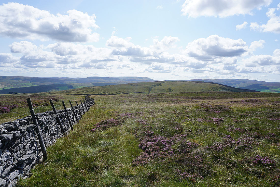
I used this gate to get onto the other side of the fence and wall running across the top of Harland Hill, but first I'll visit the summit of Harland Hill
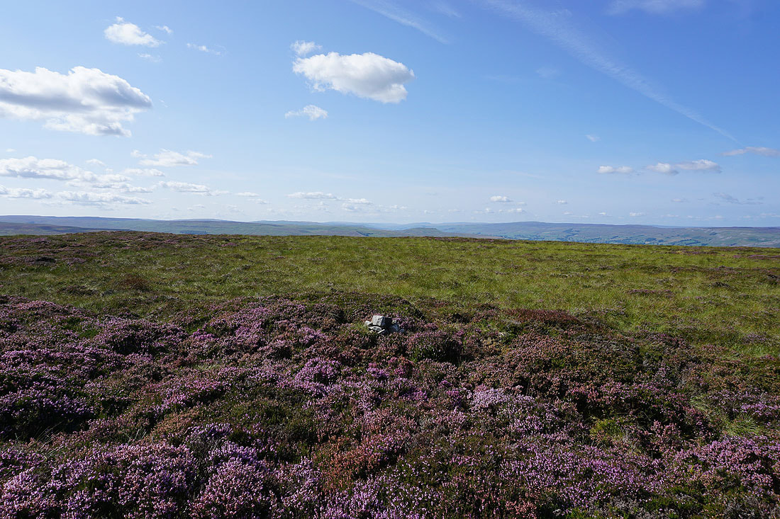
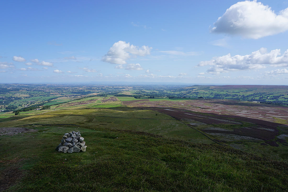
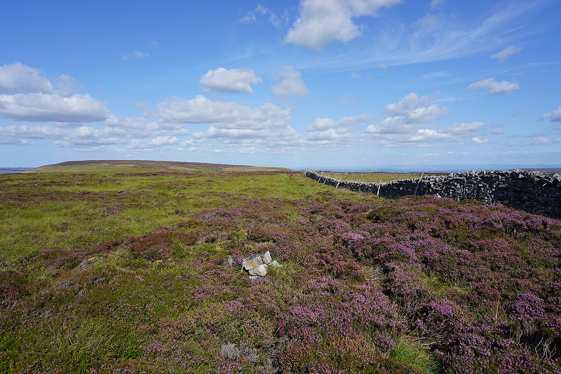
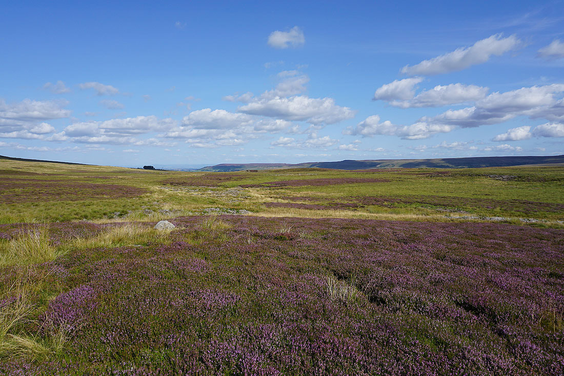
A few stones mark the top of Harland Hill. Looking west to Stake Fell, Addlebrough, Lovely Seat, and the moors around Bishopdale and Wensleydale.
Height of Hazely to the north
Wasset Fell, Stake Fell and Addlebrough
Now on the other side of the wall and heading south from Harland Hill to pick up the bridleway across Fleensop Moor. I have a great view of Buckden Pike at the head of Waldendale.
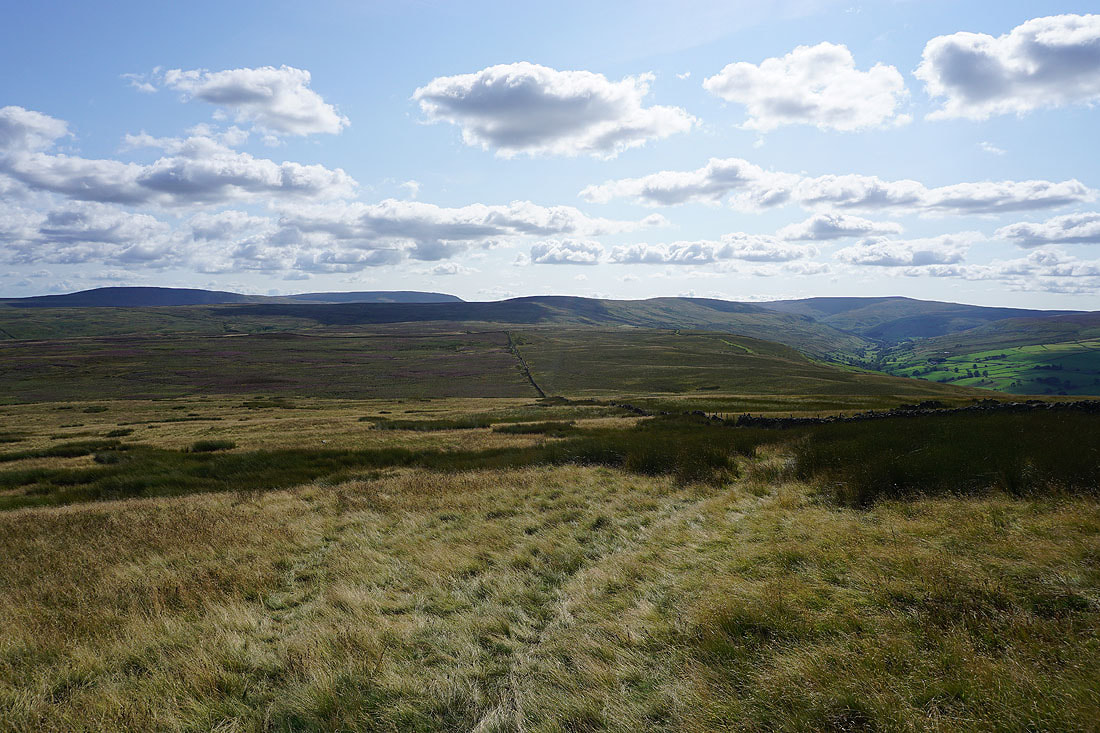
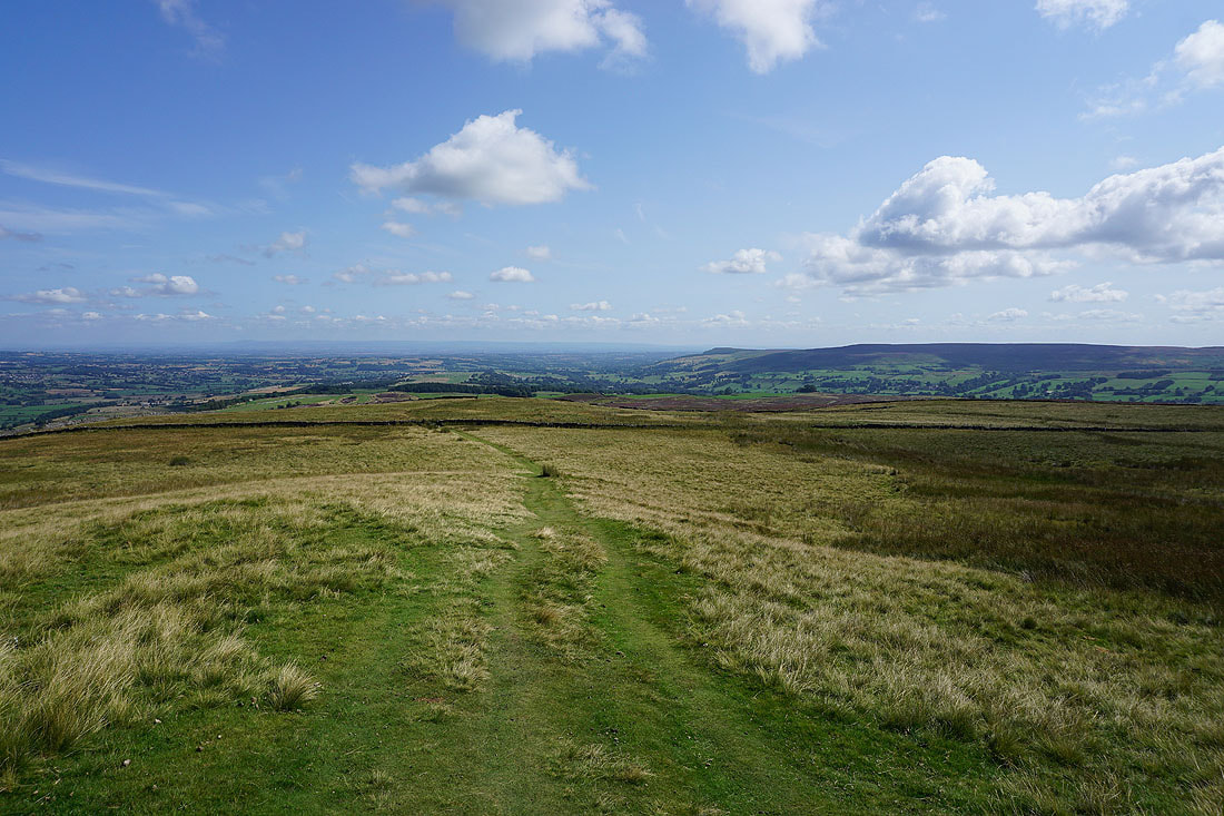
The broad expanse of Fleensop Moor ahead
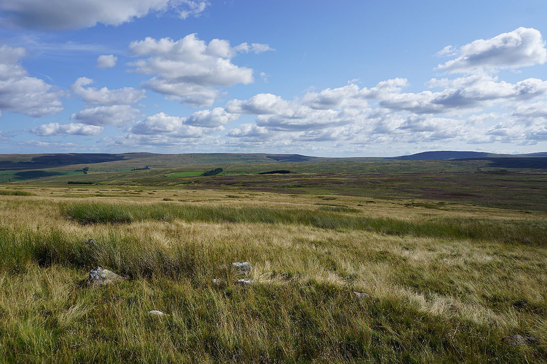
Great Haw, Carle Fell and Little Whernside on the other side of a hidden Coverdale..
..along with Braithwaite Moor, Great Roova Crags and West Scrafton Moor
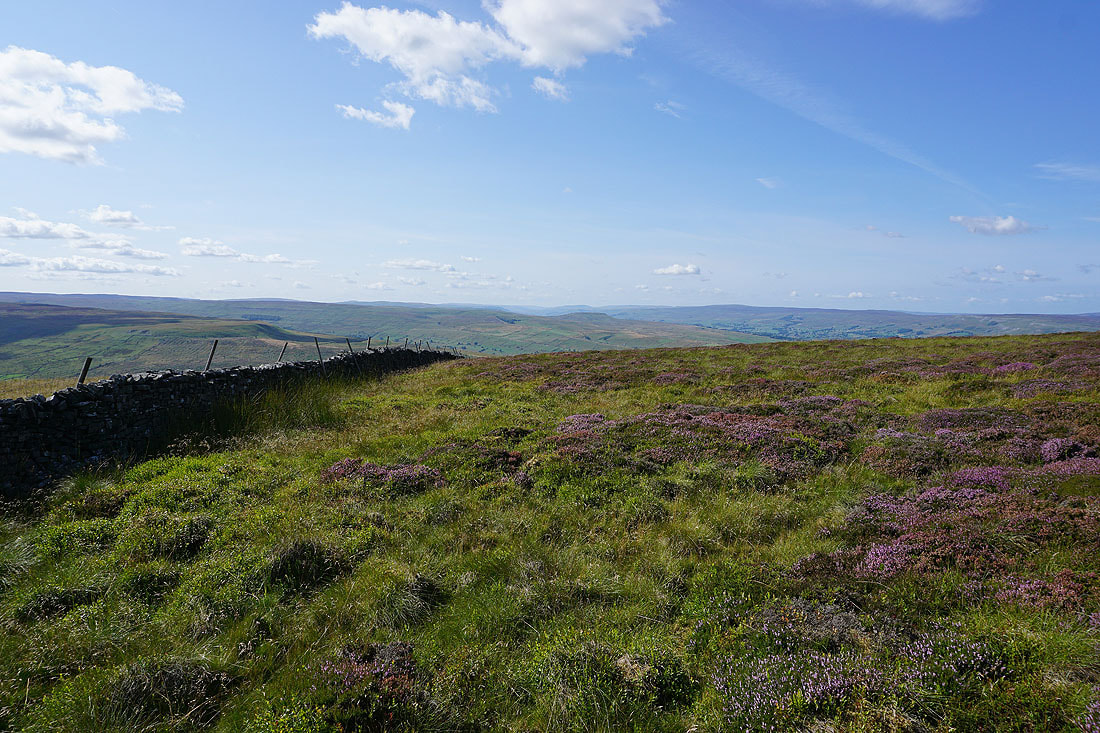
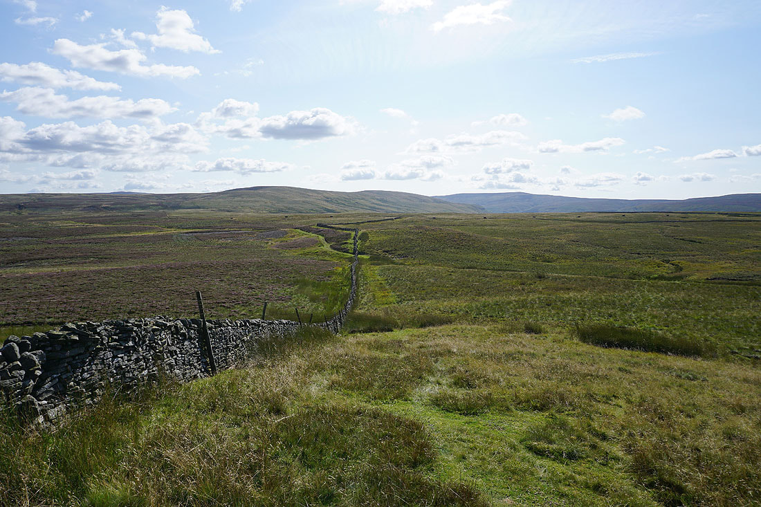
Looking back to Harland Hill
The bridleway across Fleensop Moor appears below
On the bridleway down into Waldendale
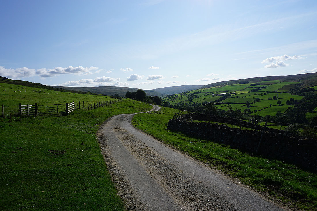
Looking up Waldendale as I reach Whiterow Road
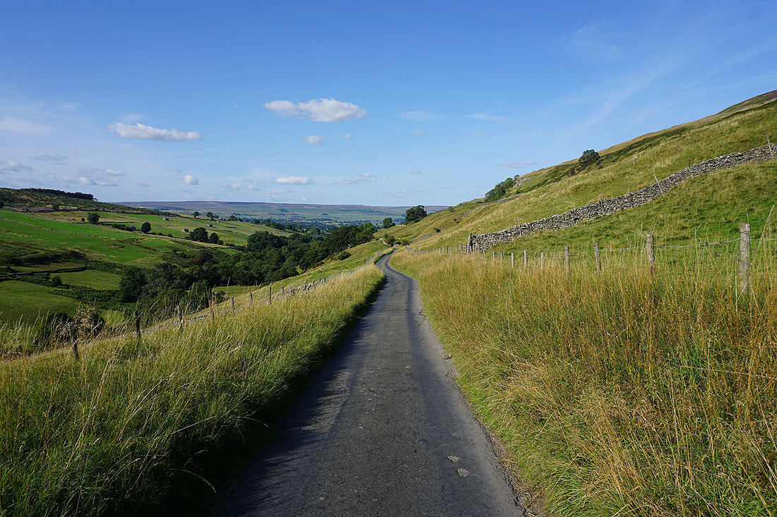
Views down Waldendale as I walk down Whiterow Road towards West Burton..
Cote Farm as I leave the road at Cote Bridge for a footpath by Walden Beck
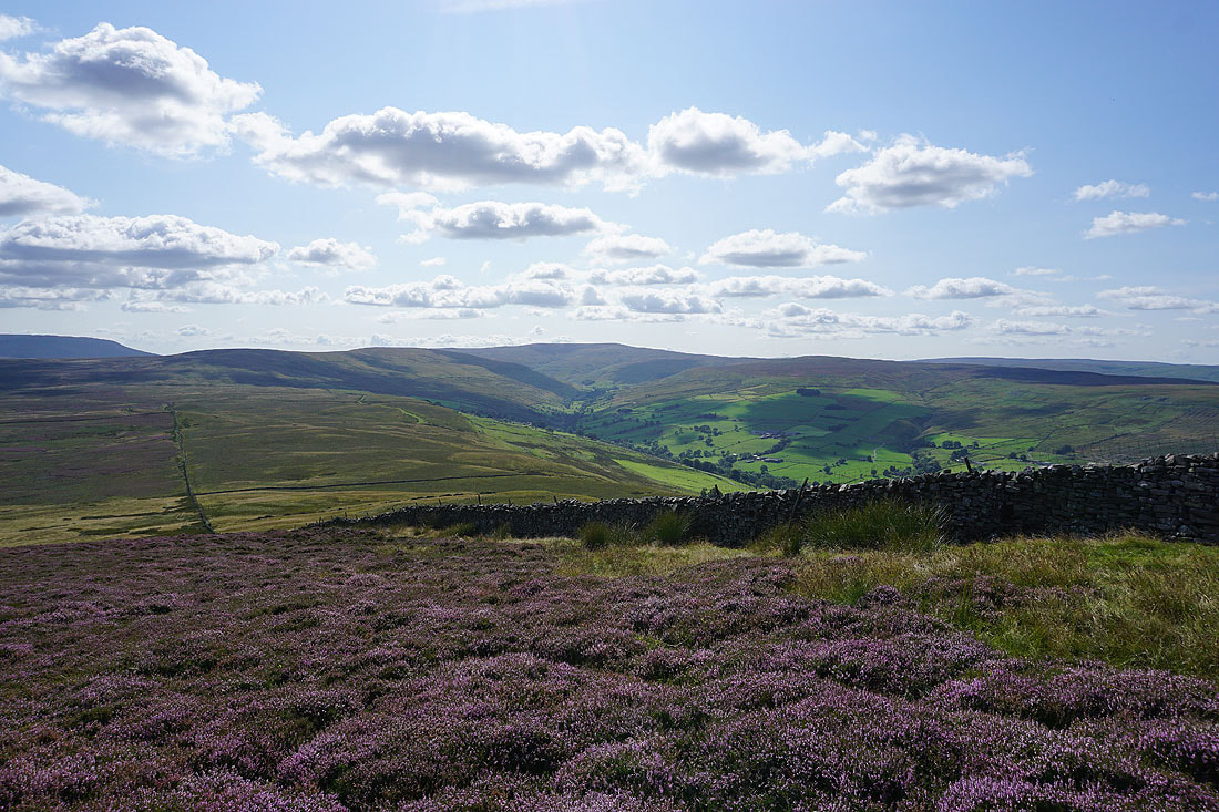
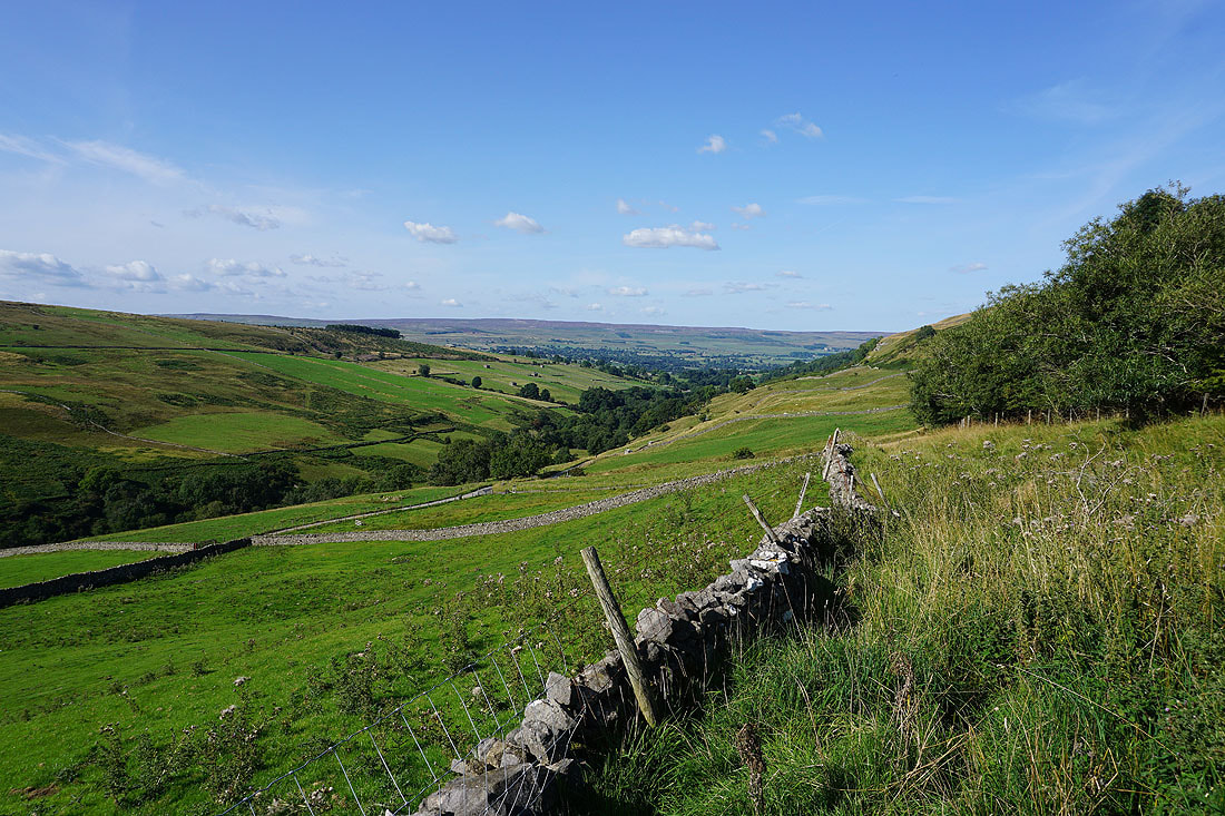
Looking back to Harland Hill above Cote Farm
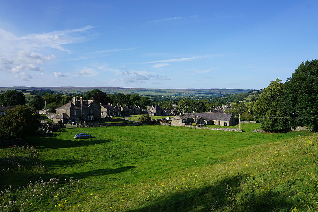
Back in West Burton at the end of a lovely summer's afternoon