28th August 2022 - Oxnop Common and Tarn Seat
Walk Details
Distance walked: 11.2 miles
Total ascent: 1585 ft
OS map used: OL30 - Yorkshire Dales, Northern & Central areas
Time taken: 6.5 hrs
Route description: Askrigg-Moor Road-Newbiggin-Cross Top-Whitfield Fell-Blackstone-Oxnop Common-Blackstone-Askrigg Common-Cross Top-Summer Lodge Tarn-Tarn Rigg-Tarn Seat-Long Band-Woodhall Greets-Ellerkin Scar-Heugh-Heugh Lane-Newbiggin-Moor Road-Askrigg
For my second walk of the bank holiday weekend I decided to head to Wensleydale to do a route that would explore some of the moorland to the north of the dale, Oxnop Common and Askrigg Common, which separates it from Swaledale to the north. A significant part of the walk would involve following fences across heather moorland with no public footpaths, which meant that I didn't know exactly what sort of conditions I'd have underfoot, though I knew it wouldn't be easy. It turned out that there was too much pathless heather bashing for my liking, with the stretch of moorland from Blackstone to the road of Cross Top having the worst of it. Not somewhere that I'll be walking across again in a hurry. The bridleway up onto Oxnop Common was worth following though for the view from the beacon up there, but if I use it again I'll do a there and back from the road. It wasn't just the walk that wasn't as good as I'd hoped for, the weather proved to be a bit of a disappointment as well. I set off from Askrigg with blue skies and sunshine, and although some cloud built up through the morning I didn't expect it to turn into the dull and overcast afternoon that it did, with even a little bit of light rain while I was on the moorland of Tarn Rigg and Woodhall Greets.
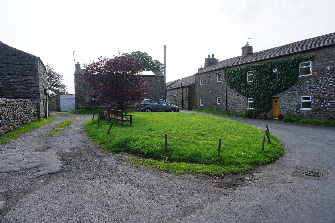
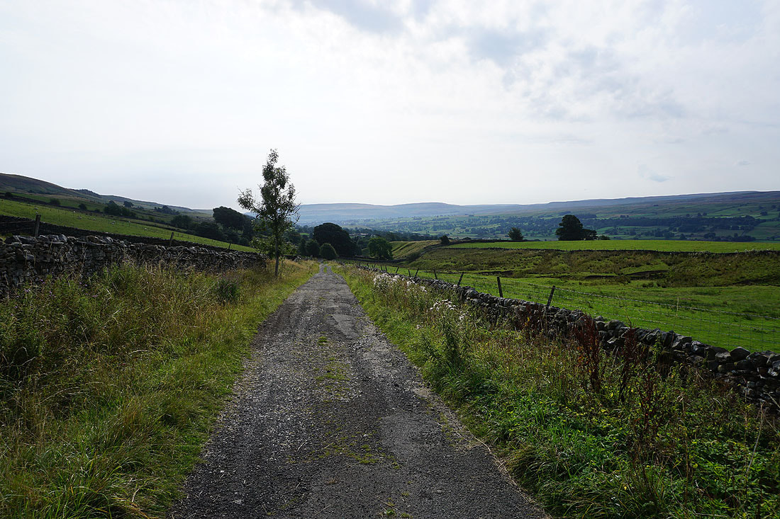
From the car park in Askrigg I walked west along Leyburn Road before turning right to walk up Moor Road to reach a footpath to Newbiggin on the right. After following this footpath up through fields to Newbiggin I then walked north up the road out of the hamlet to the junction with the road up to Long Band, and past this to a track on the right. I took this and walked up it to the road of Cross Top, which I then walked up to cross a cattle grid to reach a layby and the bridleway onto Whitfield Fell on the left. I followed this bridleway west and then north across Whitfield Fell, and up to the moorland top of Blackstone and to the beacon on Oxnop Common. After taking in the view from the beacon I returned to the cairn on Blackstone and followed the fence south and then east across the heather moorland of Askrigg Common to reach the road of Cross Top, where I stopped for lunch. Once I'd had my break I continued by following the fence from the eastern side of the road east across the moor past Summer Lodge Tarn, across Tarn Rigg and to the trig point on Tarn Seat, and down to the road of Long Band. I then walked south down the road until I reached a bridleway on the left which took me up to the ruins of Greets Shooting House on the moorland of Woodhall Greets, and then south to its end at a prominent cairn that's marked on the map as a beacon, and from there I made my way south across the moor to the top of Ellerkin Scar. I followed the top of Ellerkin Scar to the east until I reached a gap in the crags where I made my descent across access land to the bridleway below. I then made my way west along the bridleway beneath Ellerkin Scar to the end of the road of Harr Gill at Heugh. I was briefly on the track west from the end of the road, then took the footpath on the left down to the hamlet of Newbiggin. From Newbiggin I took the path down Stony Bank back to Askrigg.
Total ascent: 1585 ft
OS map used: OL30 - Yorkshire Dales, Northern & Central areas
Time taken: 6.5 hrs
Route description: Askrigg-Moor Road-Newbiggin-Cross Top-Whitfield Fell-Blackstone-Oxnop Common-Blackstone-Askrigg Common-Cross Top-Summer Lodge Tarn-Tarn Rigg-Tarn Seat-Long Band-Woodhall Greets-Ellerkin Scar-Heugh-Heugh Lane-Newbiggin-Moor Road-Askrigg
For my second walk of the bank holiday weekend I decided to head to Wensleydale to do a route that would explore some of the moorland to the north of the dale, Oxnop Common and Askrigg Common, which separates it from Swaledale to the north. A significant part of the walk would involve following fences across heather moorland with no public footpaths, which meant that I didn't know exactly what sort of conditions I'd have underfoot, though I knew it wouldn't be easy. It turned out that there was too much pathless heather bashing for my liking, with the stretch of moorland from Blackstone to the road of Cross Top having the worst of it. Not somewhere that I'll be walking across again in a hurry. The bridleway up onto Oxnop Common was worth following though for the view from the beacon up there, but if I use it again I'll do a there and back from the road. It wasn't just the walk that wasn't as good as I'd hoped for, the weather proved to be a bit of a disappointment as well. I set off from Askrigg with blue skies and sunshine, and although some cloud built up through the morning I didn't expect it to turn into the dull and overcast afternoon that it did, with even a little bit of light rain while I was on the moorland of Tarn Rigg and Woodhall Greets.
From the car park in Askrigg I walked west along Leyburn Road before turning right to walk up Moor Road to reach a footpath to Newbiggin on the right. After following this footpath up through fields to Newbiggin I then walked north up the road out of the hamlet to the junction with the road up to Long Band, and past this to a track on the right. I took this and walked up it to the road of Cross Top, which I then walked up to cross a cattle grid to reach a layby and the bridleway onto Whitfield Fell on the left. I followed this bridleway west and then north across Whitfield Fell, and up to the moorland top of Blackstone and to the beacon on Oxnop Common. After taking in the view from the beacon I returned to the cairn on Blackstone and followed the fence south and then east across the heather moorland of Askrigg Common to reach the road of Cross Top, where I stopped for lunch. Once I'd had my break I continued by following the fence from the eastern side of the road east across the moor past Summer Lodge Tarn, across Tarn Rigg and to the trig point on Tarn Seat, and down to the road of Long Band. I then walked south down the road until I reached a bridleway on the left which took me up to the ruins of Greets Shooting House on the moorland of Woodhall Greets, and then south to its end at a prominent cairn that's marked on the map as a beacon, and from there I made my way south across the moor to the top of Ellerkin Scar. I followed the top of Ellerkin Scar to the east until I reached a gap in the crags where I made my descent across access land to the bridleway below. I then made my way west along the bridleway beneath Ellerkin Scar to the end of the road of Harr Gill at Heugh. I was briefly on the track west from the end of the road, then took the footpath on the left down to the hamlet of Newbiggin. From Newbiggin I took the path down Stony Bank back to Askrigg.
Route map
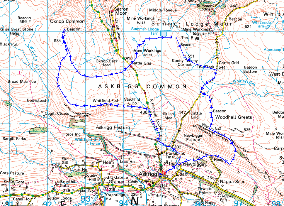
© Crown copyright. All rights reserved. License number PU 100034184.
Addlebrough above the roofs of Askrigg as I leave it behind
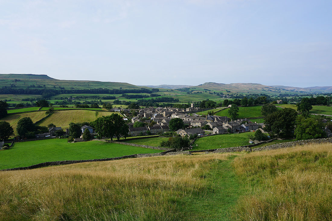
Looking across Wensleydale from above Askrigg to the entrance to Raydale and Wether Fell
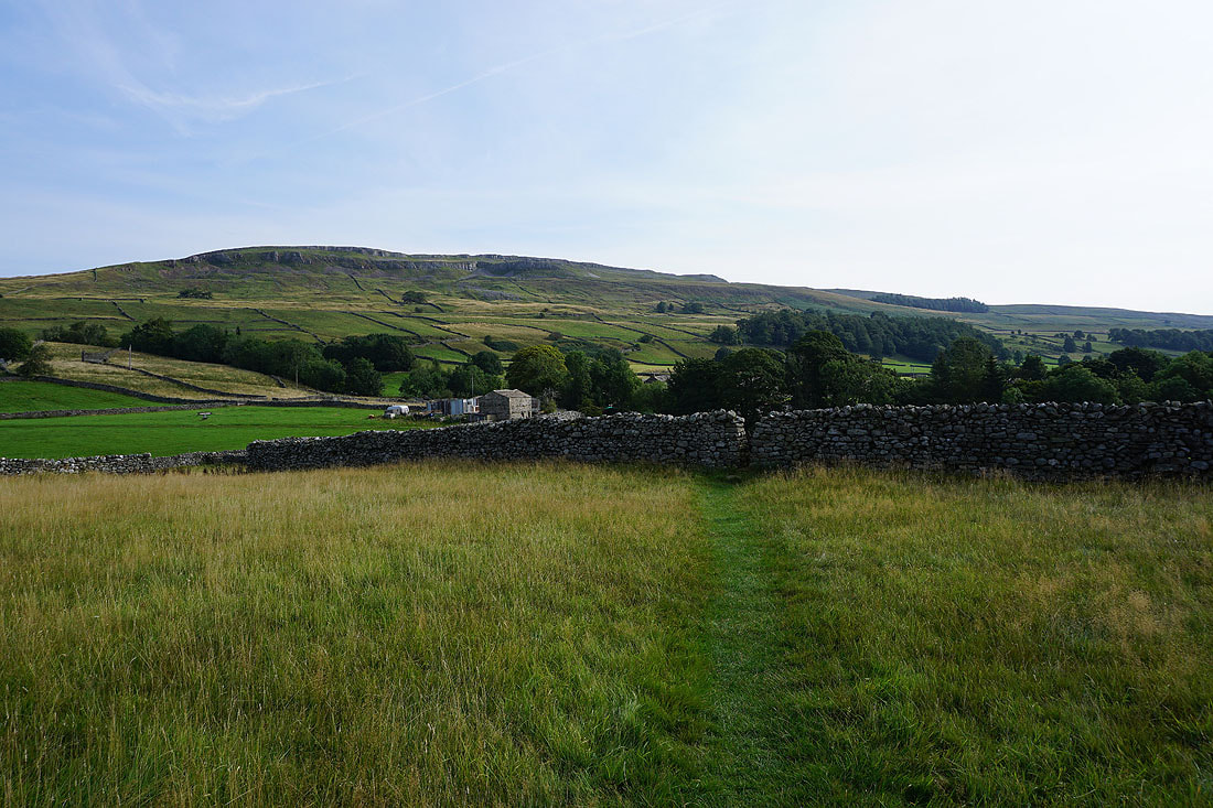
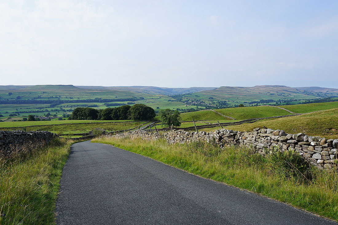
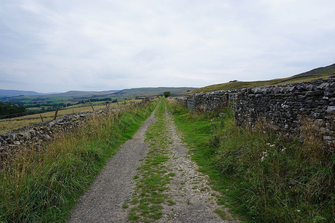
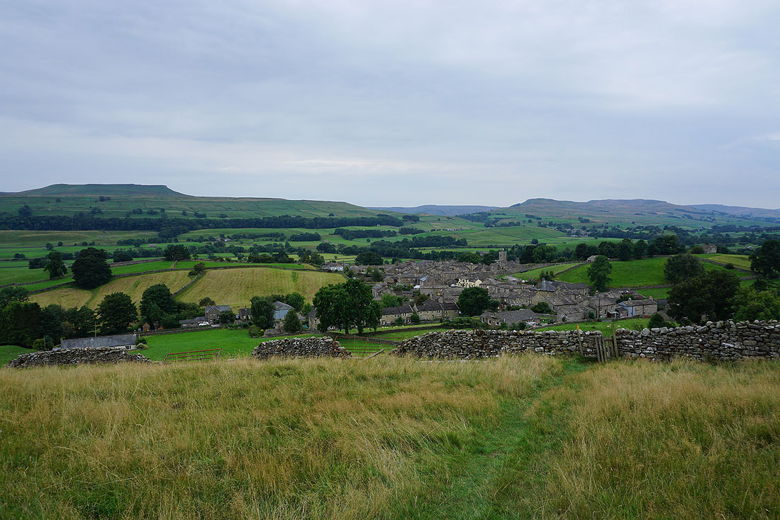
Heading for the hamlet of Newbiggin with Ellerkin Scar above
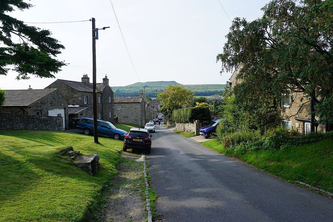
In the hamlet of Newbiggin
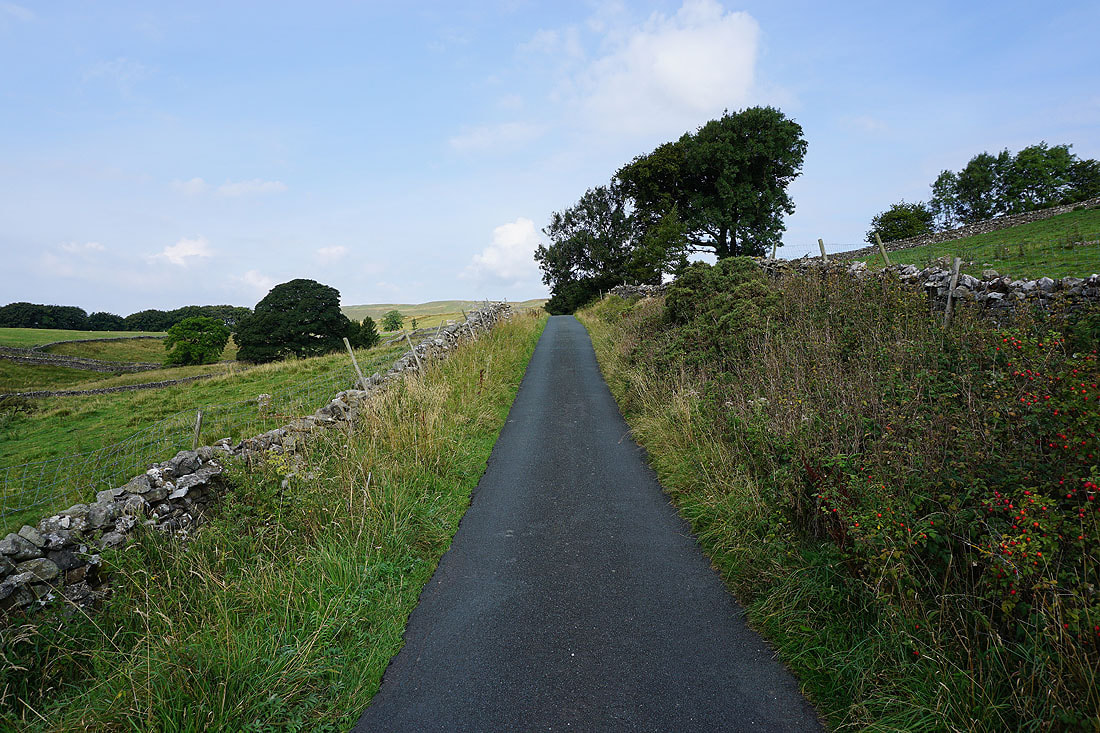
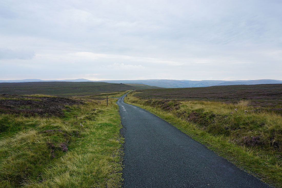
I leave Newbiggin by walking up a road and then track towards the road of Cross Top..
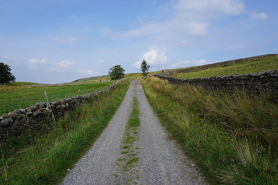
Looking back down the track to Wensleydale
and across Wensleydale to Addlebrough, Raydale, Bainbridge, and Wether Fell as I walk up the road of Cross Top
I leave the road and head west along the bridleway across Whitfield Fell and past Stackhill House
To my left I have a view across Wensleydale to Addlebrough, the moors around Raydale, and Wether Fell
Looking back down the bridleway to Ellerkin Scar and Wensleydale
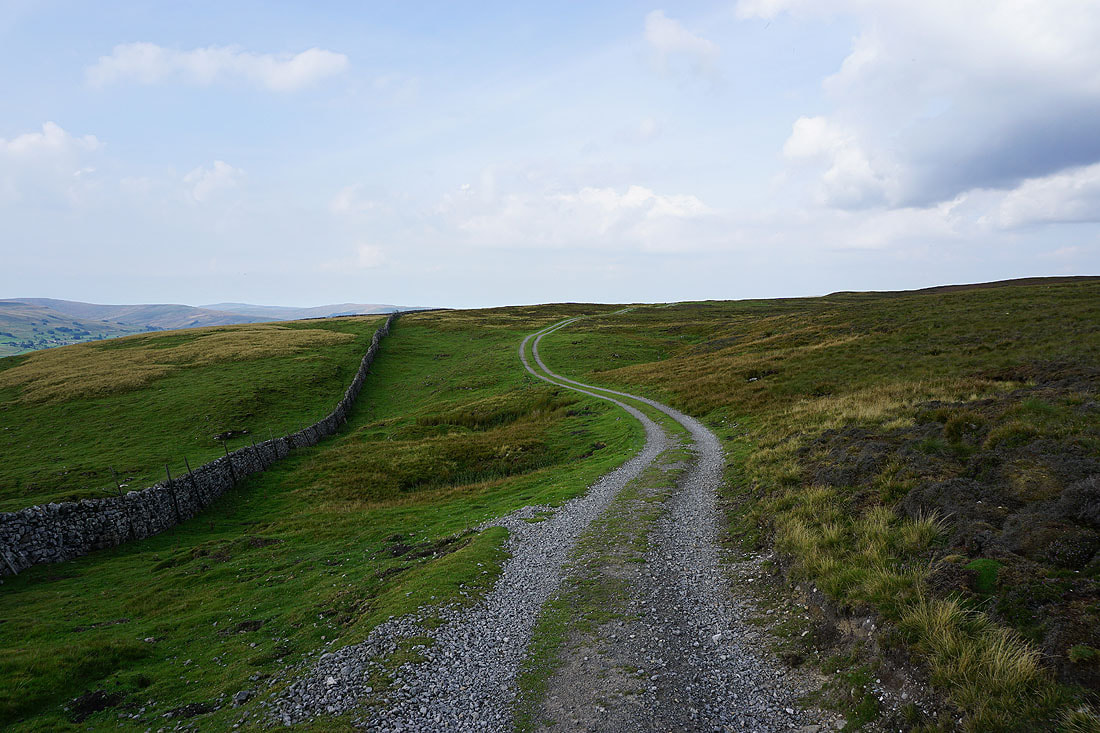
Following the bridleway west across Whitfield Fell..
Looking across Wensleydale to Wether Fell, Dodd Fell Hill, Sleddale, Great Knoutberry Hill, and Widdale Fell
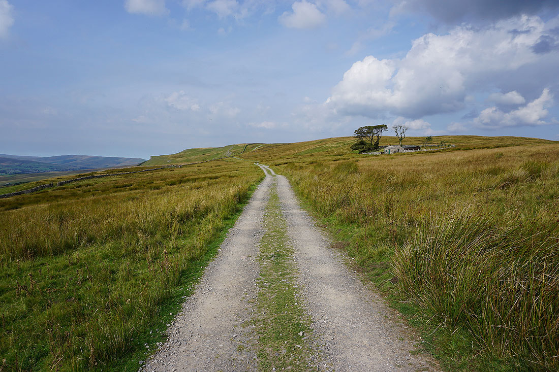
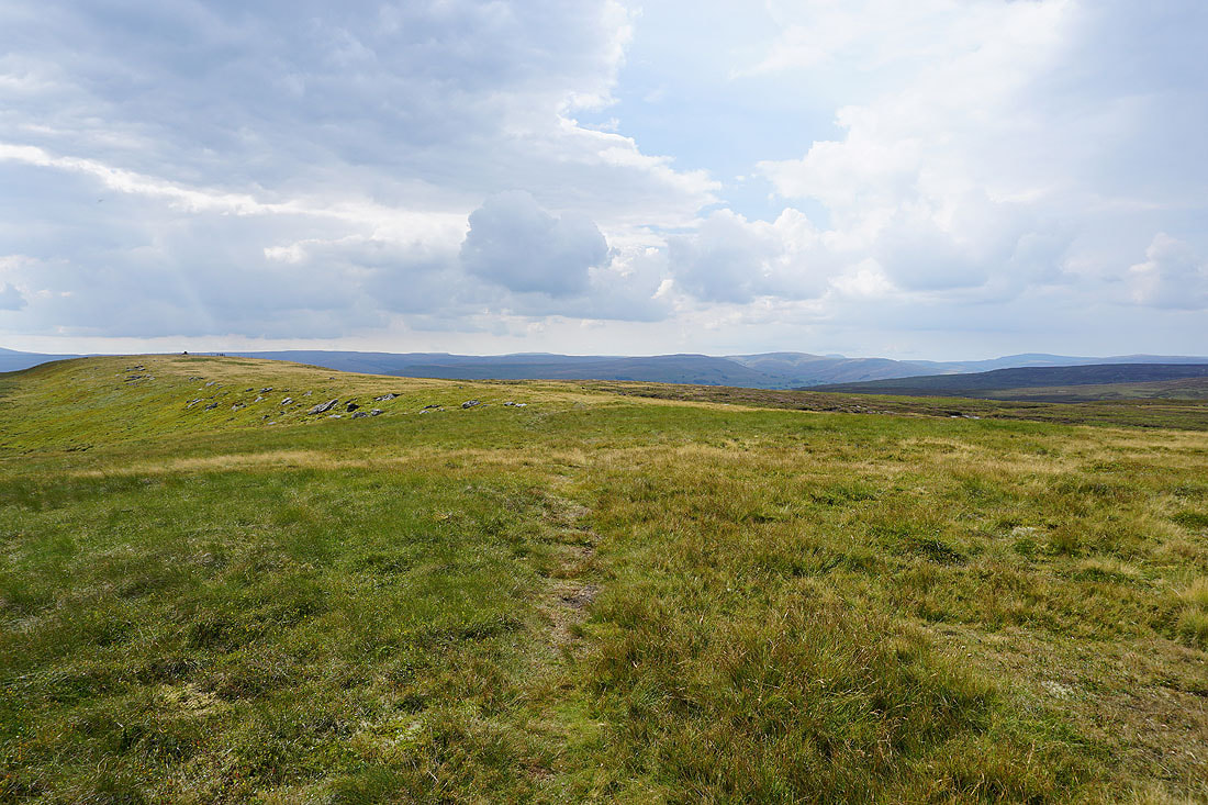
Heading north up the bridleway towards Oxnop Common
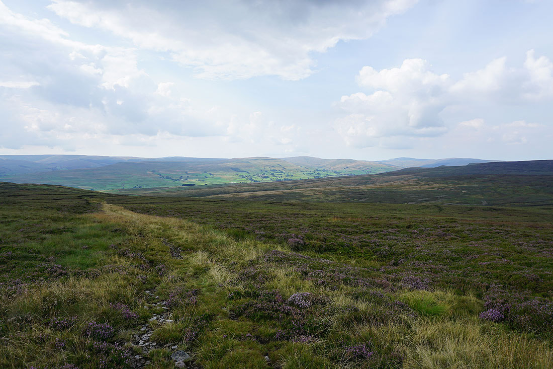
Looking back across Wensleydale to Wether Fell, Dodd Fell Hill, Sleddale, and Great Knoutberry Hill
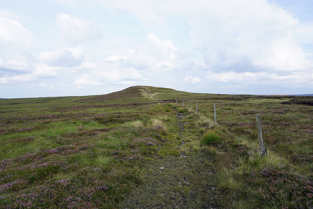
I join a fence for the final climb to the top of the bridleway on Blackstone..
The tops of Great Whernside and Buckden Pike in the distance to the south
Lovely Seat and Muker Common to the west
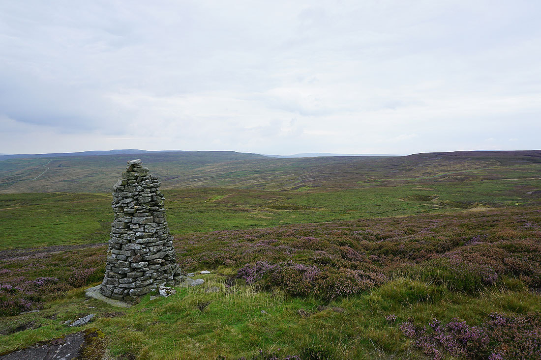
The beacon on Oxnop Common is just a short to the north
At the beacon on Oxnop Common with views across Swaledale to Kisdon Hill, Ivelet Moor, and Rogan's Seat..
Looking back to Blackstone with the moors on the other side of Wensleydale in the distance
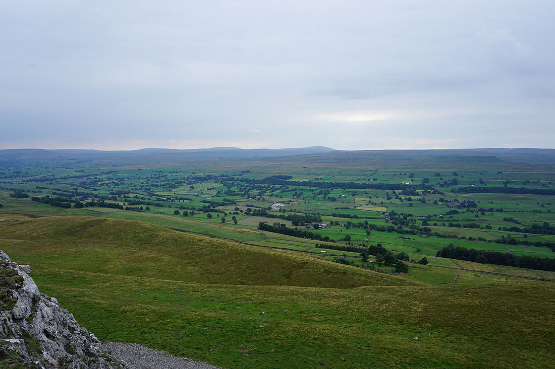
Oxnop Scar and Summer Lodge Moor to the east
Gunnerside Pasture, Melbecks Moor, and Brownsey Moor on the other side of Swaledale
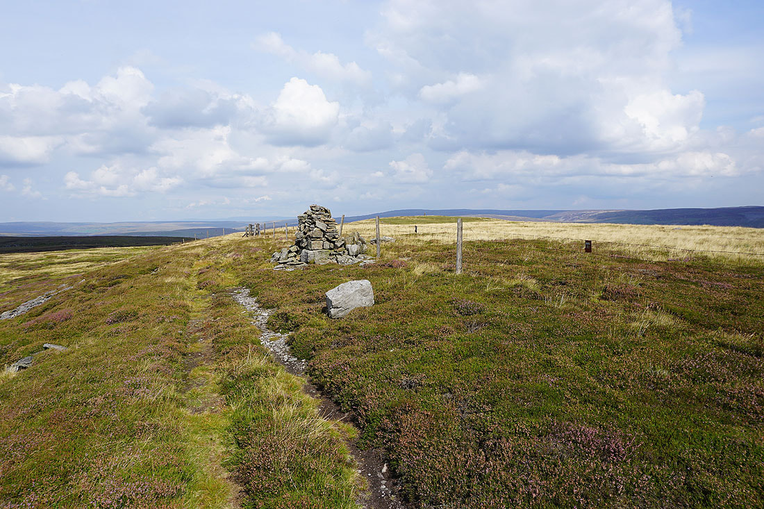
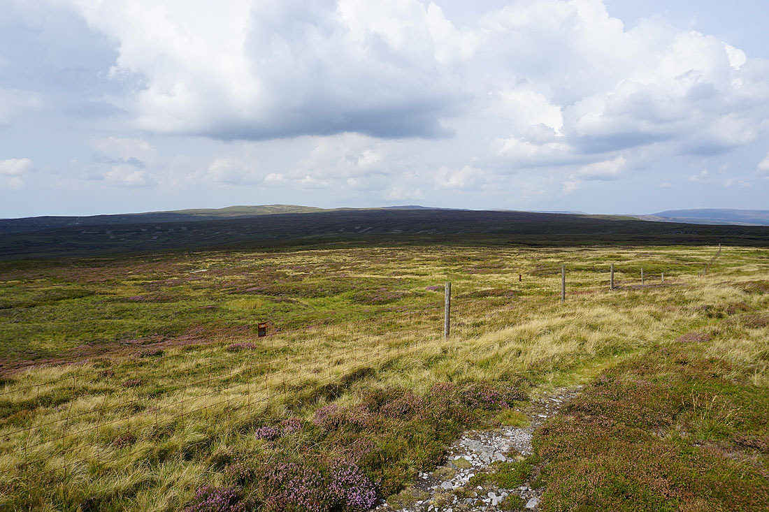
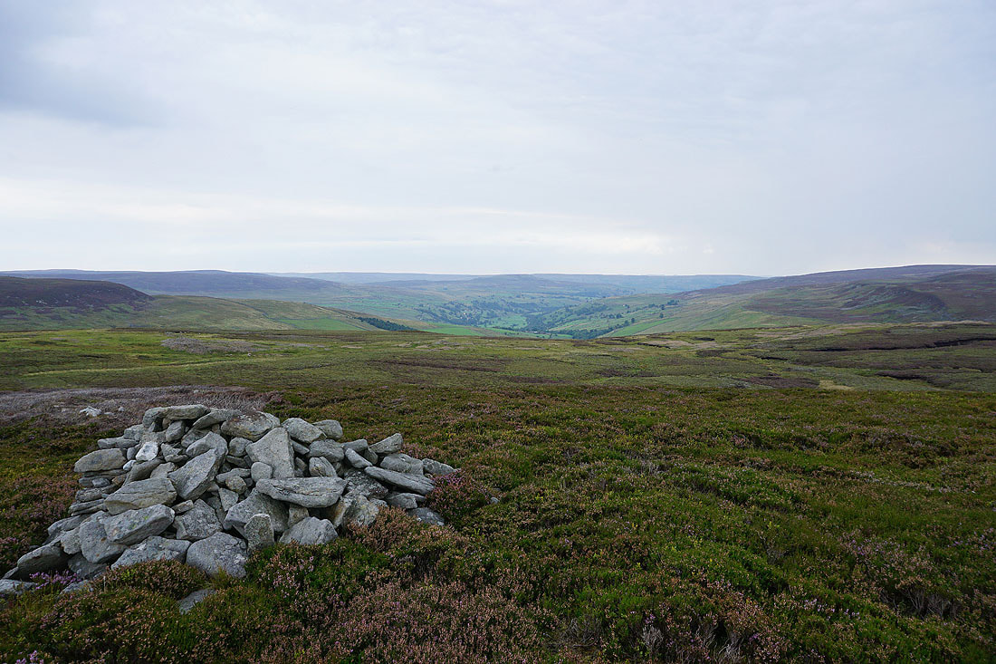
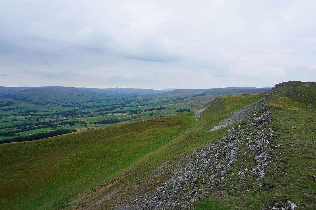
Back at the cairn on Blackstone. I'll now follow the fence south and then east to the road across Askrigg Common..
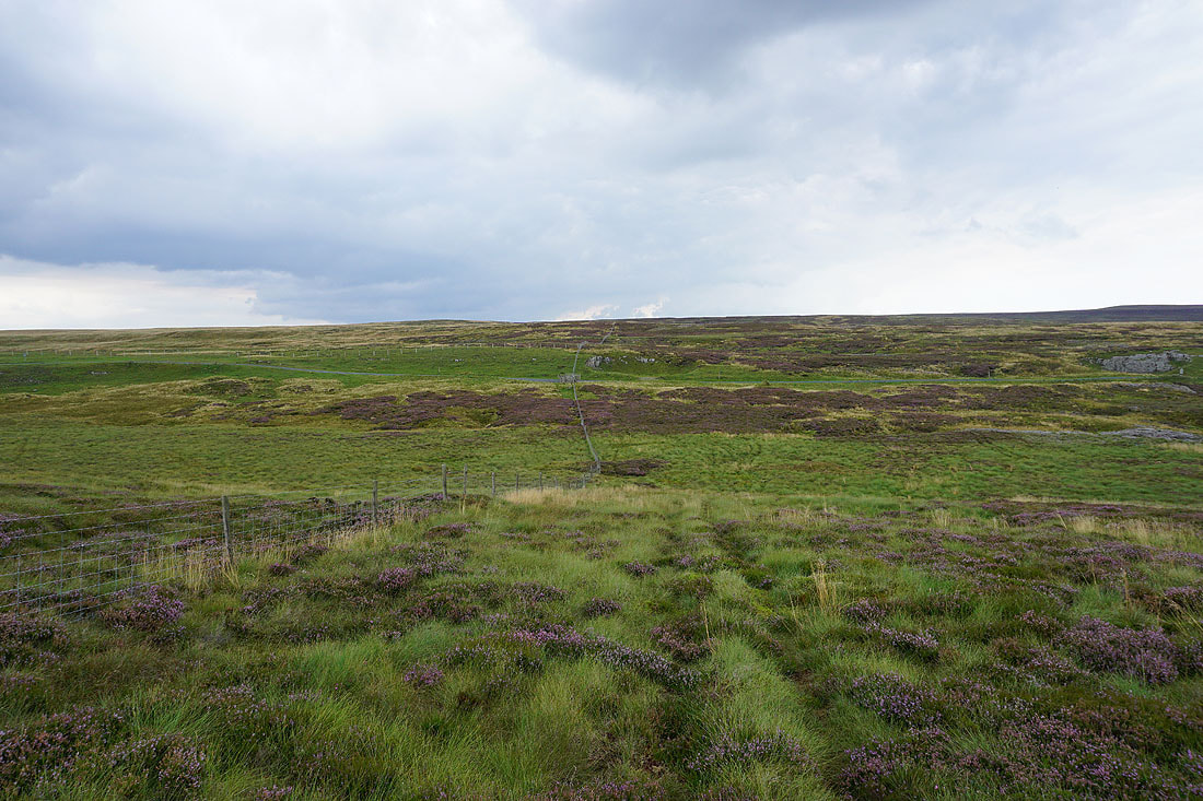
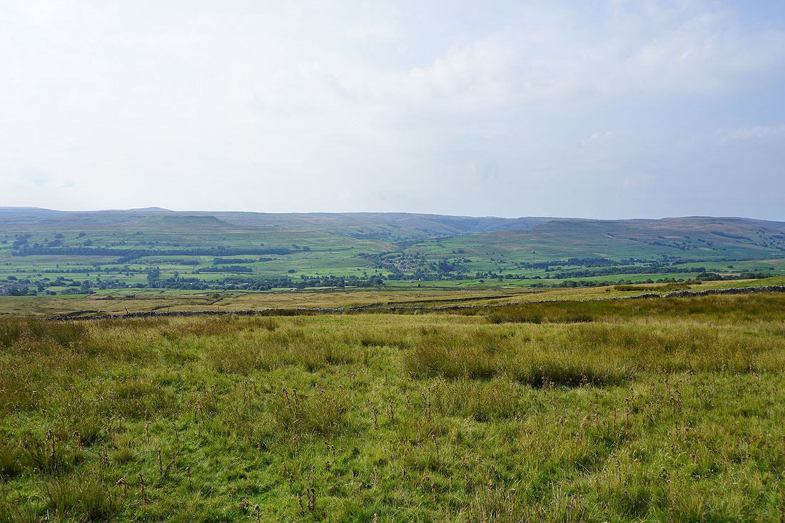
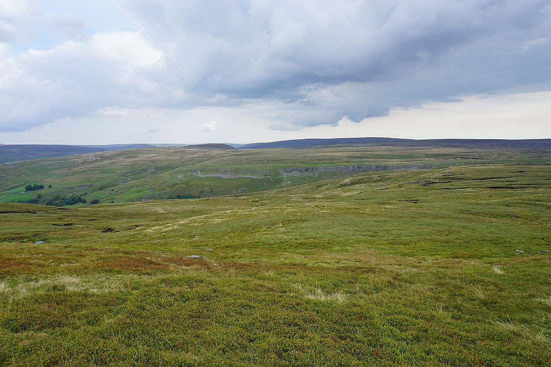
A brief walk north along the road across Askrigg Common gives me a view down Oxnop Gill towards Swaledale
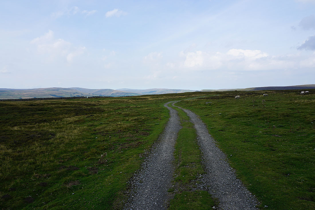
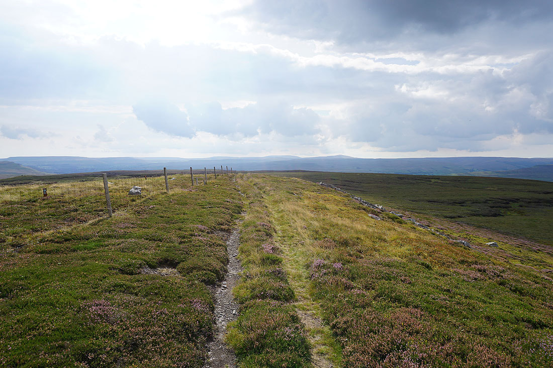
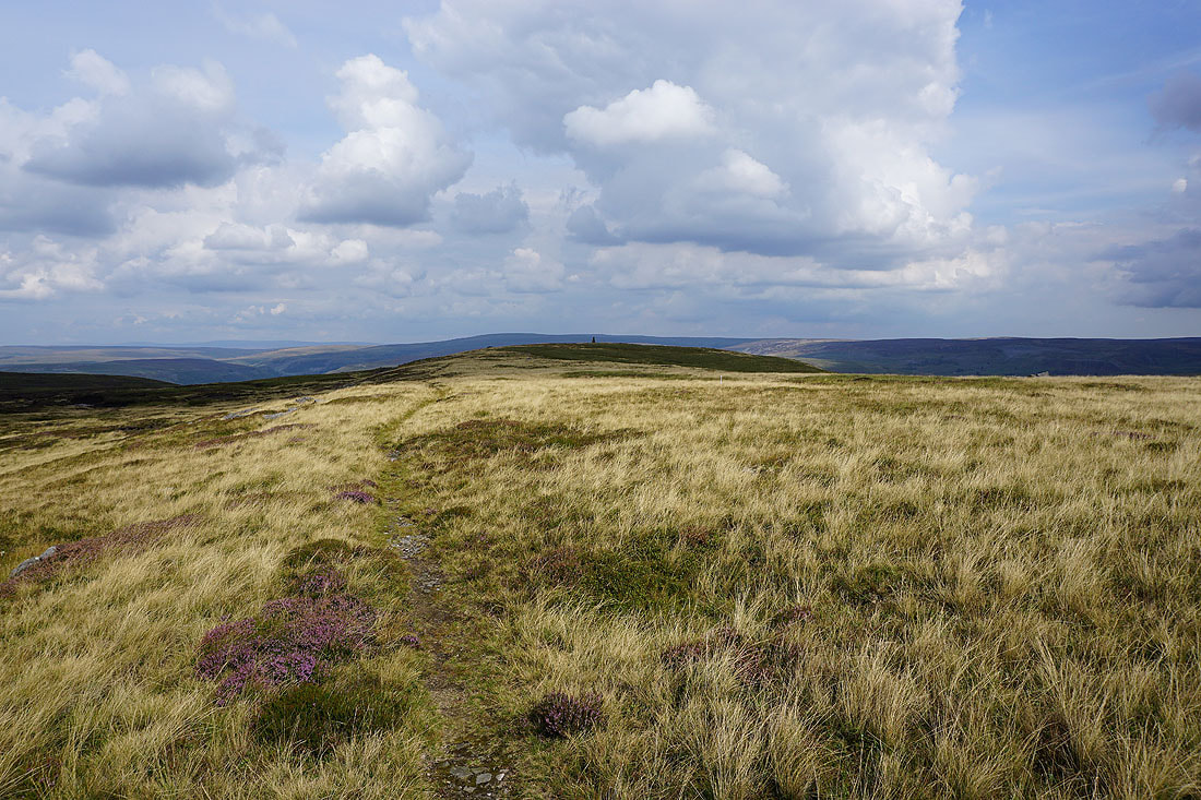
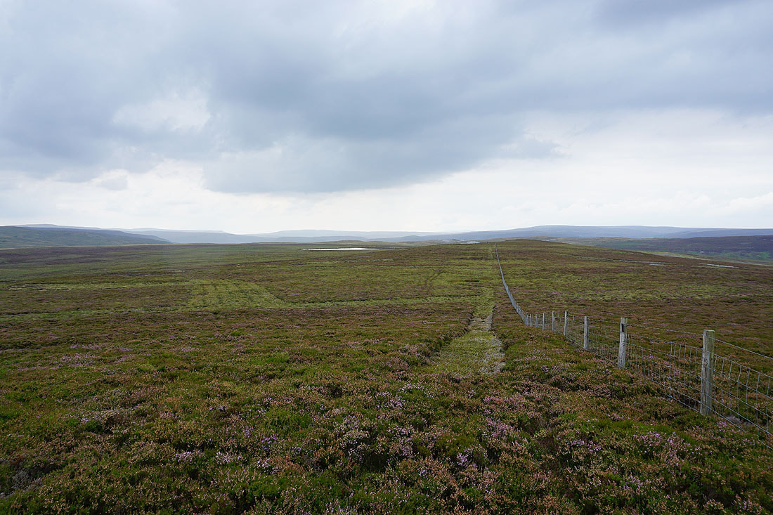
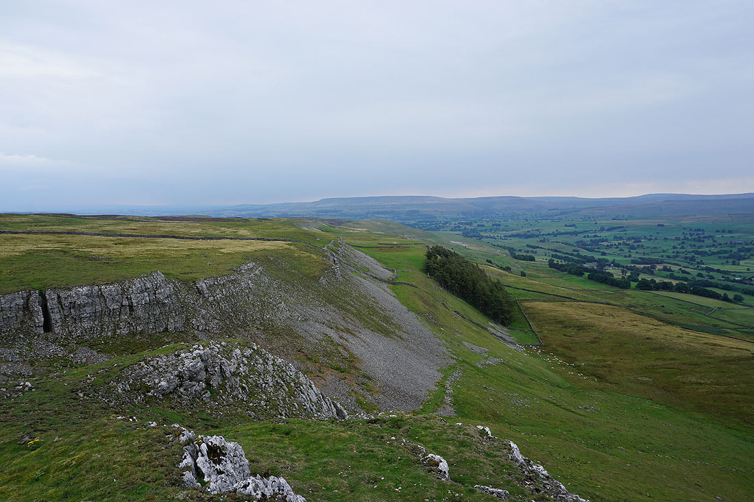
The moorland of Tarn Rigg. Following another fence will take me to the trig point on its top.
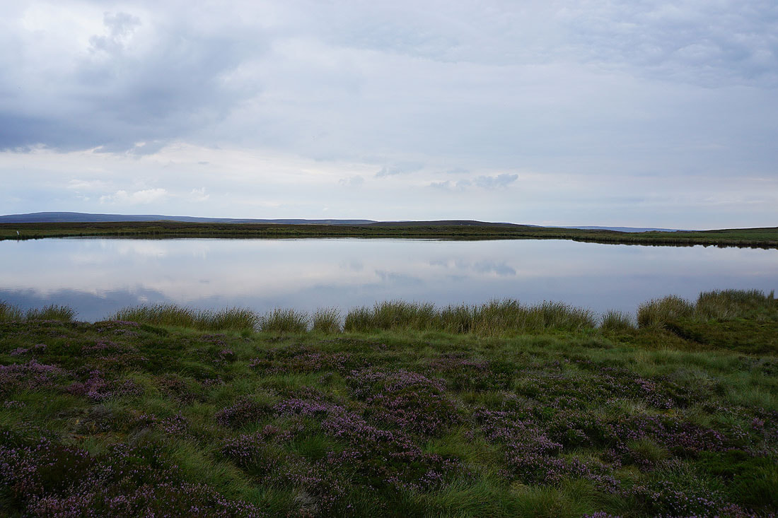
Passing a flat calm Summer Lodge Tarn
A cairn at the northern end of Tarn Rigg gives me a view down the valley of Summer Lodge Beck to Brownsey Moor, Swaledale, and Calver Hill
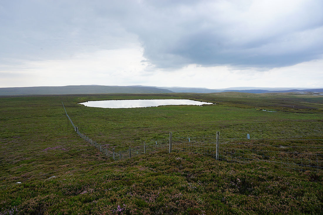
Summer Lodge Tarn below
Crackpot Moor and Blea Barf to the north
Following the fence south to Tarn Seat. Light rain has started to fall, which isn't a huge surprise given how dull and overcast it's become in the past hour.
Looking back to Summer Lodge Tarn and Tarn Rigg
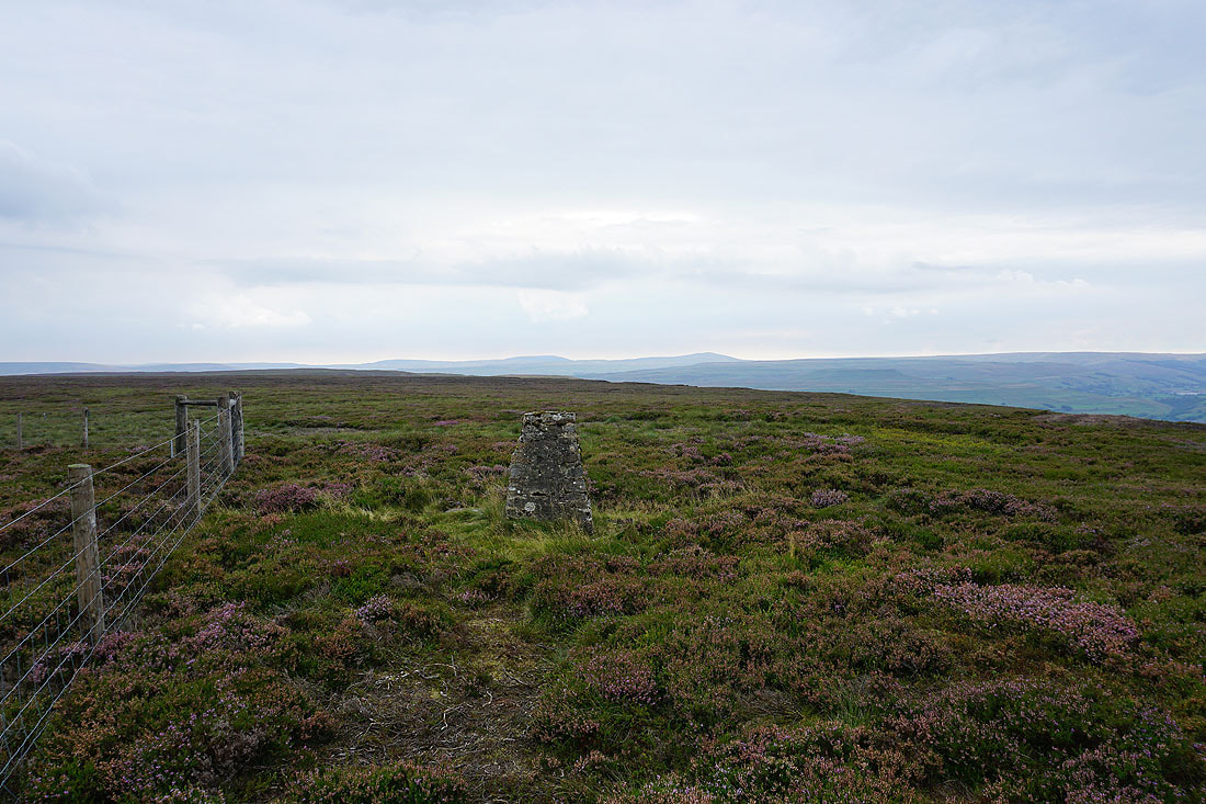
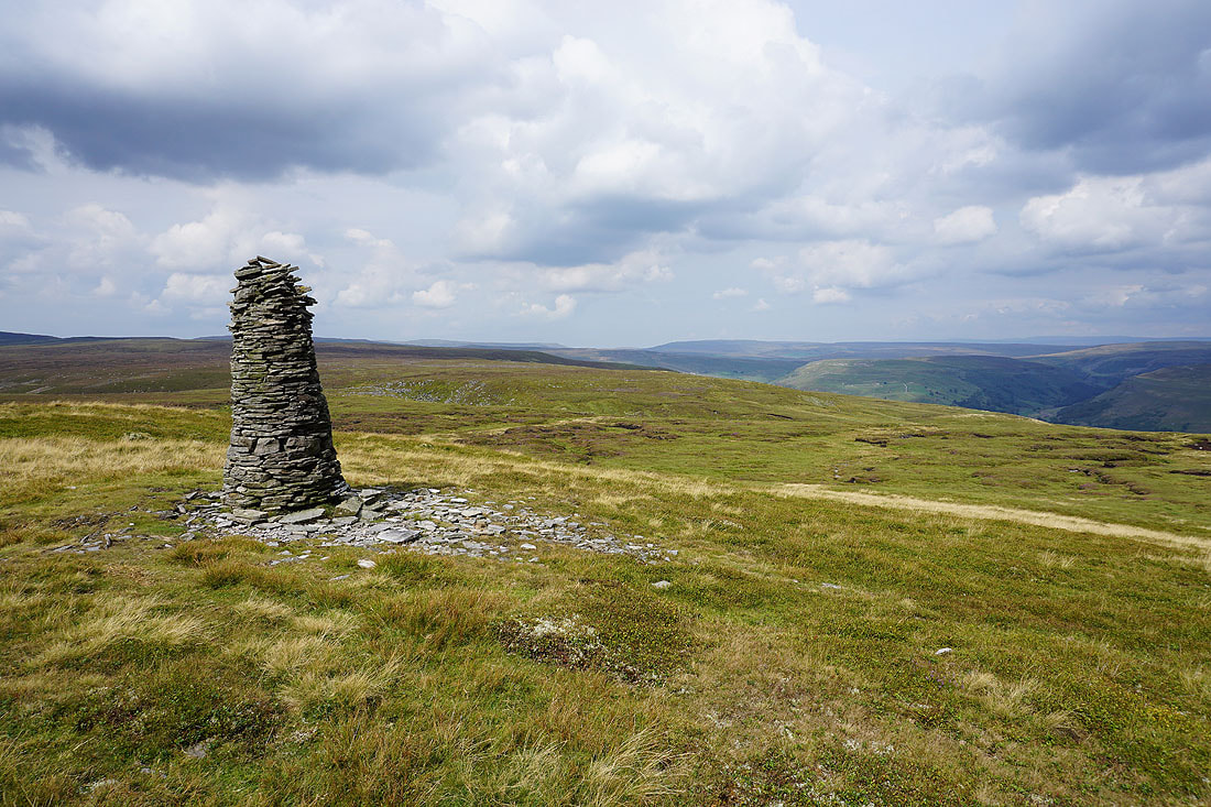
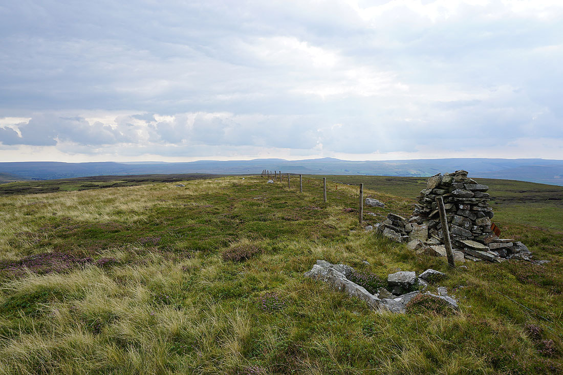
Great Whernside and Buckden Pike in the distance from the trig point on Tarn Seat (also known as The Fleak and Conny Tammy Currack)
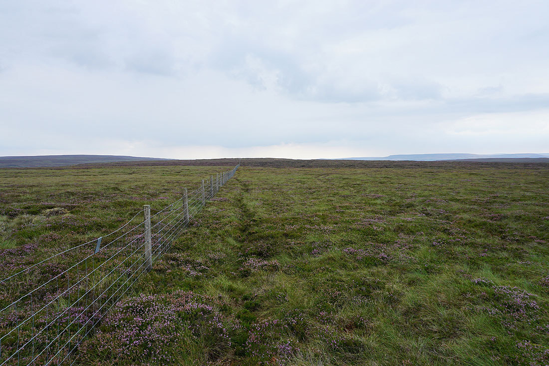
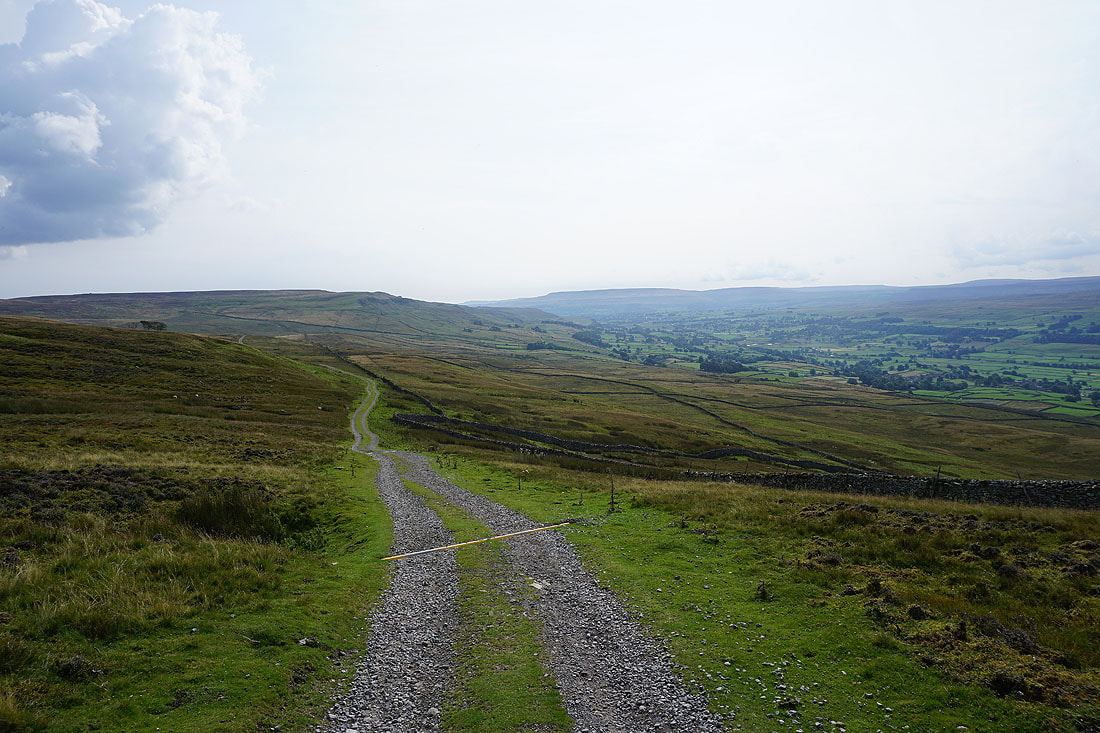
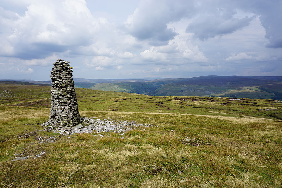
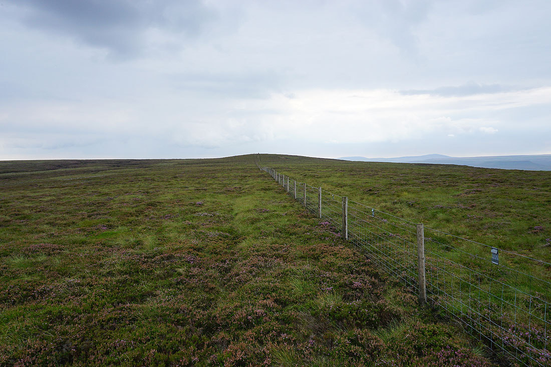
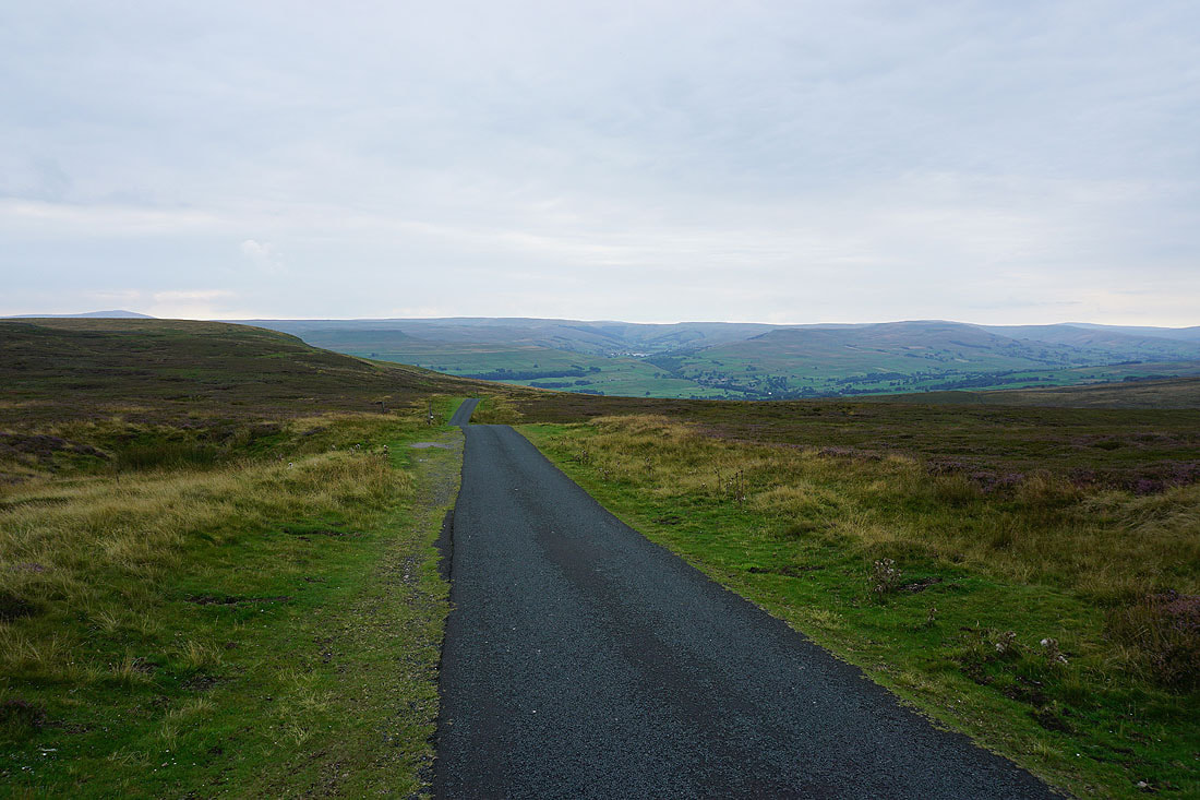
From the trig point I follow another fence to the road of Long Band
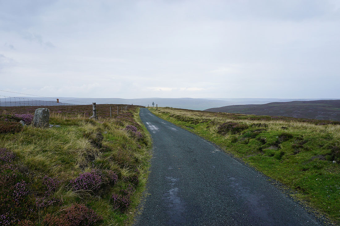
Finally at the road of Long Road. Looking north to the moors on the other side of Swaledale.
I'm going to walk along the road in the other direction, towards Wensleydale. I can see the ruins of Greets Shooting House on the hillside above the road..
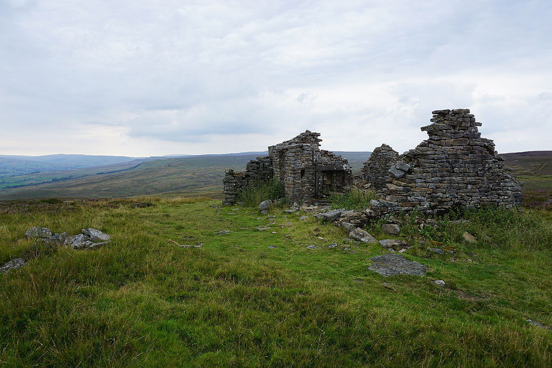
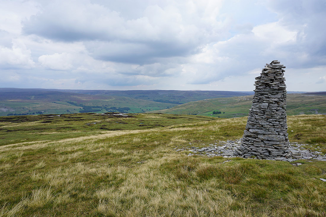
A short climb up a bridleway from the road brings me to the ruins of Greets Shooting House
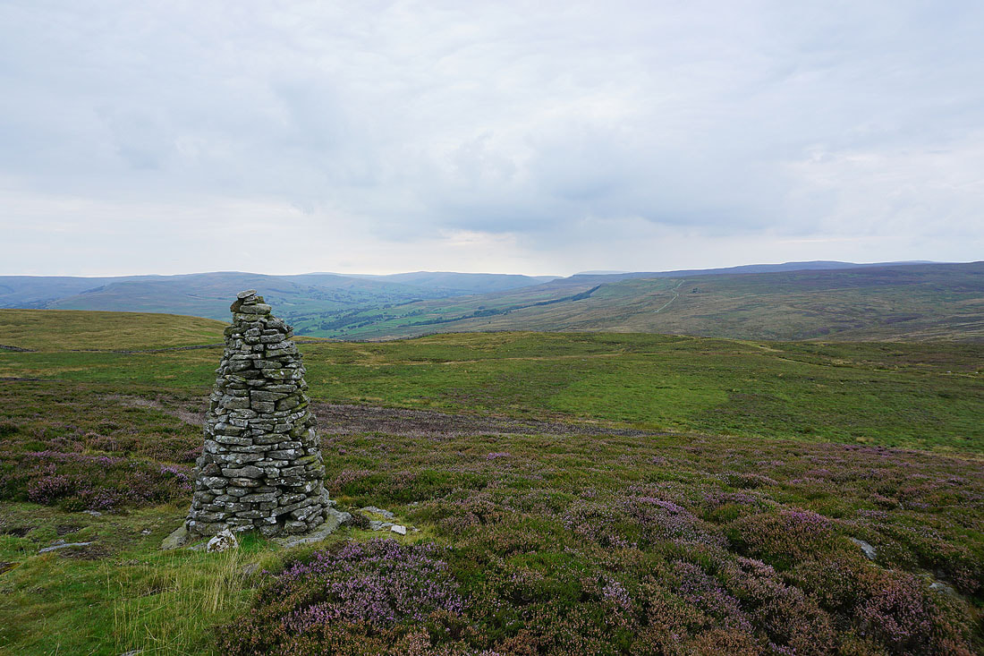
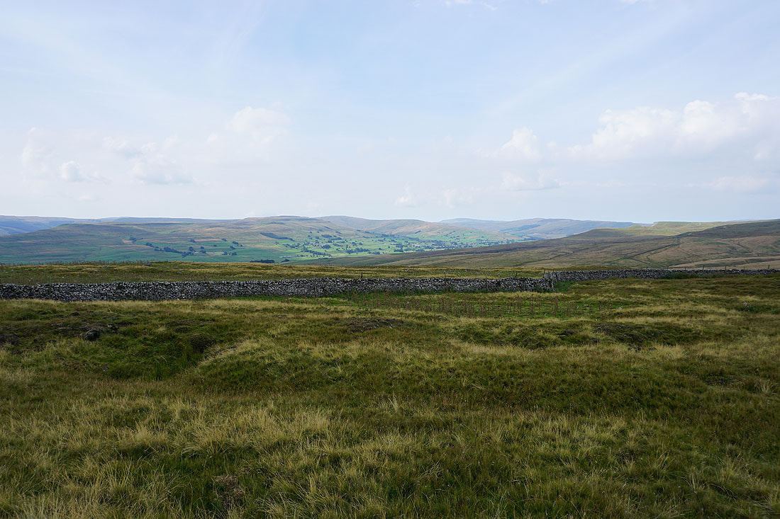
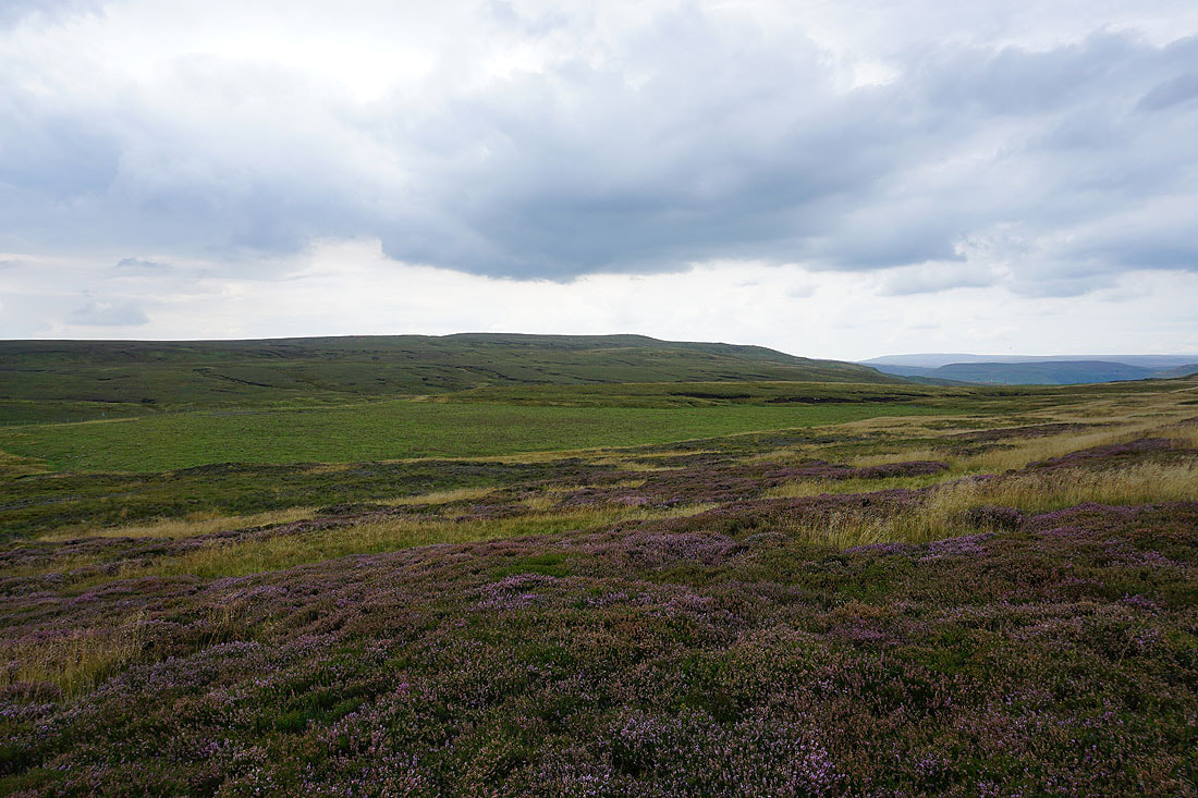
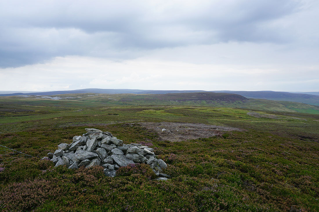
Looking up Wensleydale from the beacon on Woodhall Greets
Oxnop Common and Askrigg Common
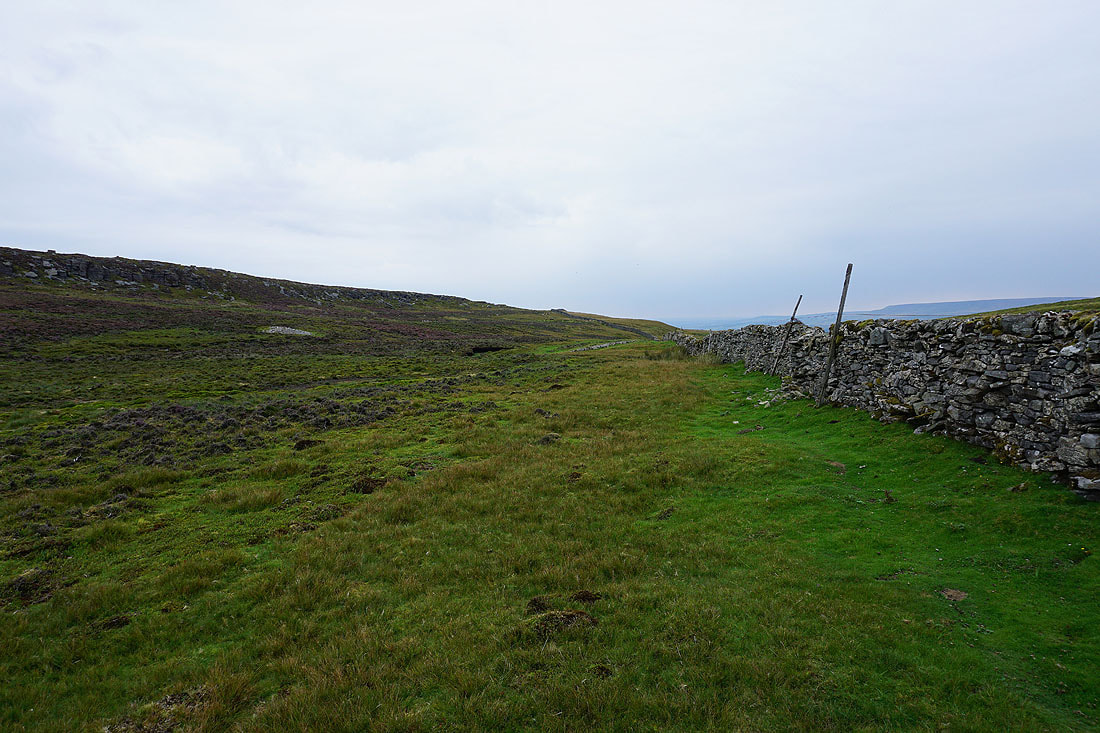
Below Greets Edge. I need to cross that wall to get to Ellerkin Scar.
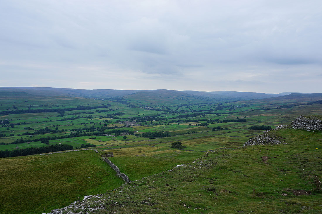
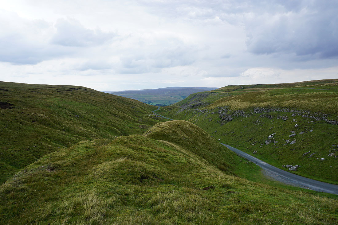
On the top of Ellerkin Scar, where I get a great view of Wensleydale, even on a grey afternoon. Looking up the dale to Askrigg, Semer Water, Bainbridge, and Wether Fell.
and down the dale to Penhill..
..and across to Aysgarth Moor and Thornton Rust Moor, with the tops of Great Whernside and Buckden Pike in the distance
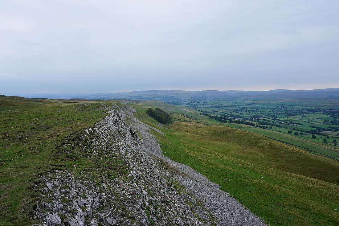
Looking back west along Ellerkin Scar
It was here that I decided to leave Ellerkin Scar and make my way down through a gap in the crags and across access land to reach the bridleway below
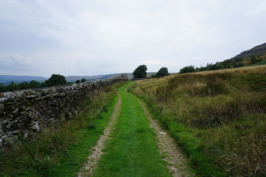
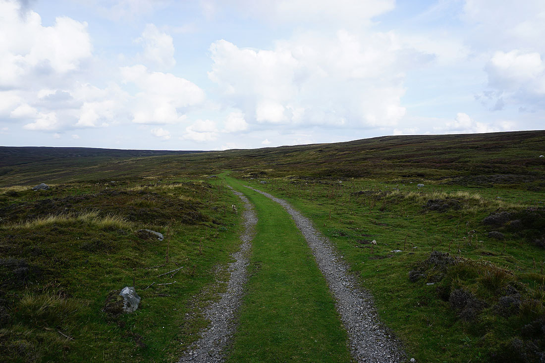
Heading west along the bridleway beneath Ellerkin Scar
The bridleway joins a track with a view west to Whitfield Fell in front of me
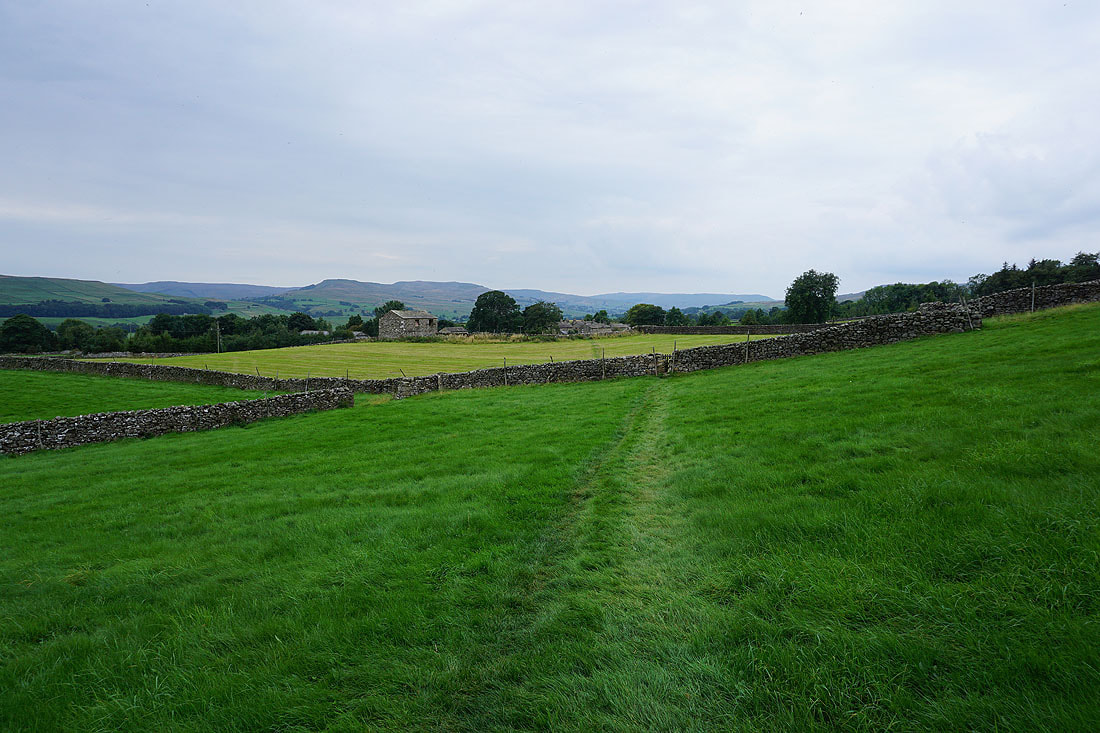
Following the path down to Newbiggin
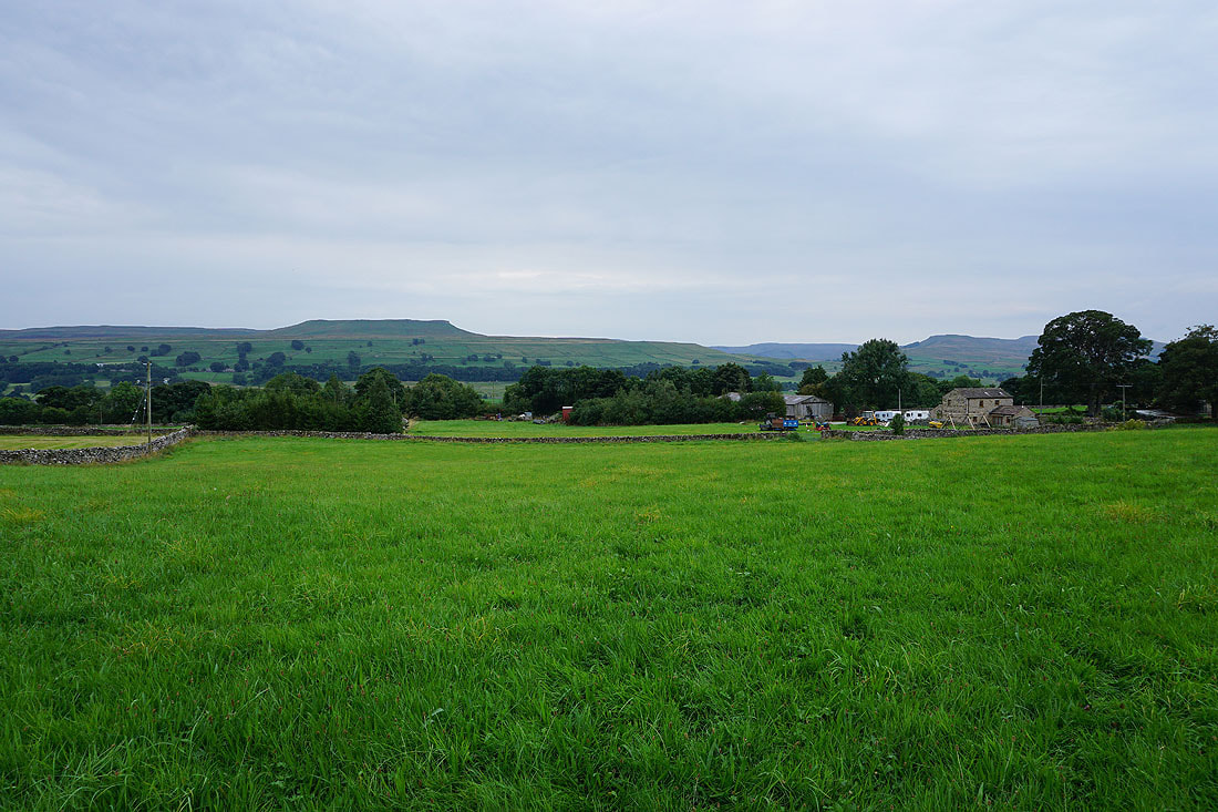
Looking across Wensleydale to Addlebrough
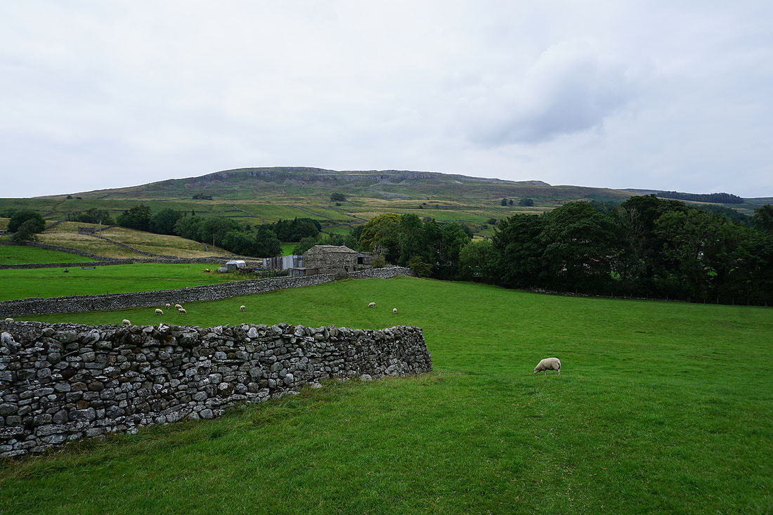
and back to Ellerkin Scar above Newbiggin
Gloomy skies as I arrive back in Askrigg