28th December 2014 - Blackstone Edge
Walk Details
Distance walked: 7.1 miles
Total ascent: 1436 ft
OS map used: OL21 - South Pennines
Time taken: 5 hrs
Route description: Hollingworth Lake-Lane Foot-Whitaker Golf Club-Pennine Bridleway-Lydgate-Roman Road-Blackstone Edge-Roman Road-Lydgate-Pennine Bridleway-Syke-Hollingworth Lake
When the snow started to fall on Boxing Day evening and into the night I just hoped that I'd be able to get out for a walk in it. More snow fell locally and south into the Peak District than further north. The weather wasn't good on the 27th but the forecast for today was great with clear and sunny skies for the whole day. Unfortunately I started to come down with a bad cold yesterday. I didn't feel any better this morning but not wanting to miss out I dosed myself up with cold remedies and put on a brave face. I decided to stick close to home so that I wouldn't far to drive and also somewhere that wouldn't be taking a chance with ungritted minor roads. Blackstone Edge from Hollingworth Lake fit the bill.
I left the car park/ visitor centre at Hollingworth Lake by the track at its rear. At a gate I took the track to the left that ends at some stables. I walked round the stables and onto a path that heads uphill through Ealees Wood and across Whittaker Golf Course to reach the Pennine Bridleway. I followed this out to the road at Lydgate. I then took the footpath through Lygate and uphill to the A58 Halifax Road. The "Roman Road" was then followed uphill to reach Blackstone Edge. To head back I retraced my steps to Lydgate to reach the Pennine Bridleway. I then followed this back to Hollingworth Lake.
Route map
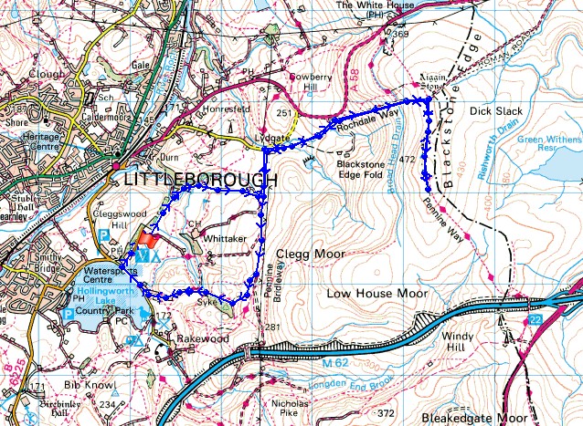
© Crown copyright. All rights reserved. License number PU 100034184.
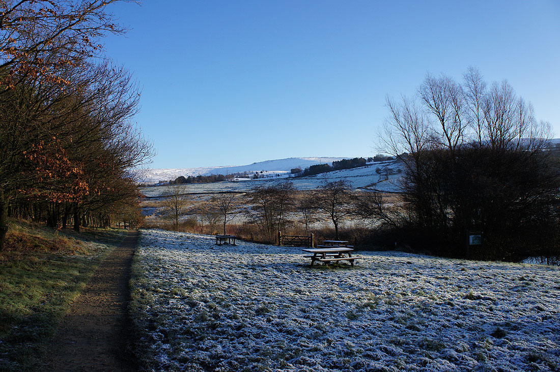
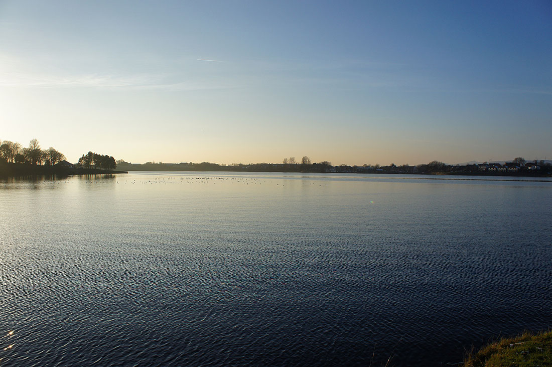
I can see the rocky crest of Blackstone Edge in the distance as I leave the back of the visitor centre at Hollingworth Lake
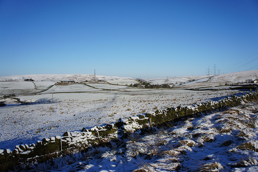
A view across snow covered fields to the hills around Summit as I reach the Pennine Bridleway
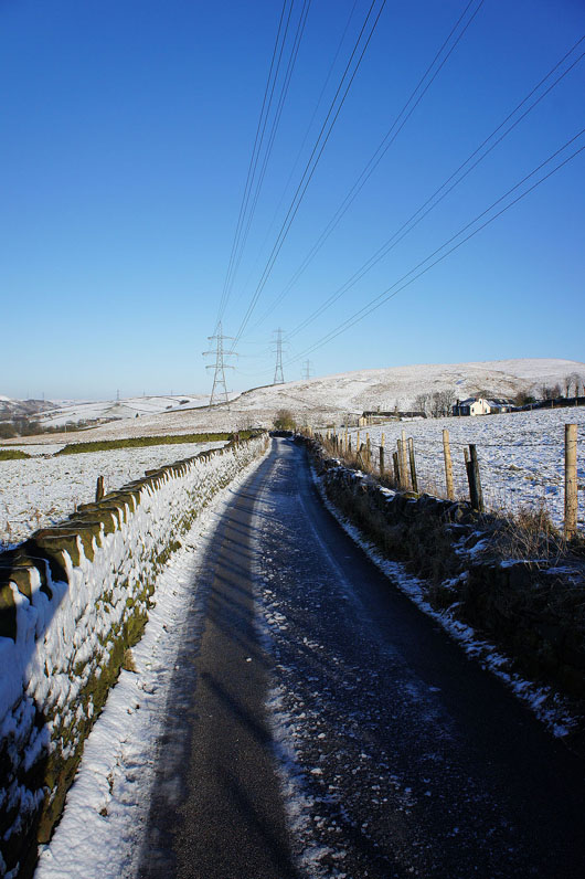
On an icy Pennine Bridleway to Lydgate
On reaching Lydgate I leave the Pennine Bridleway and take another path that heads up towards the A58 Halifax Road
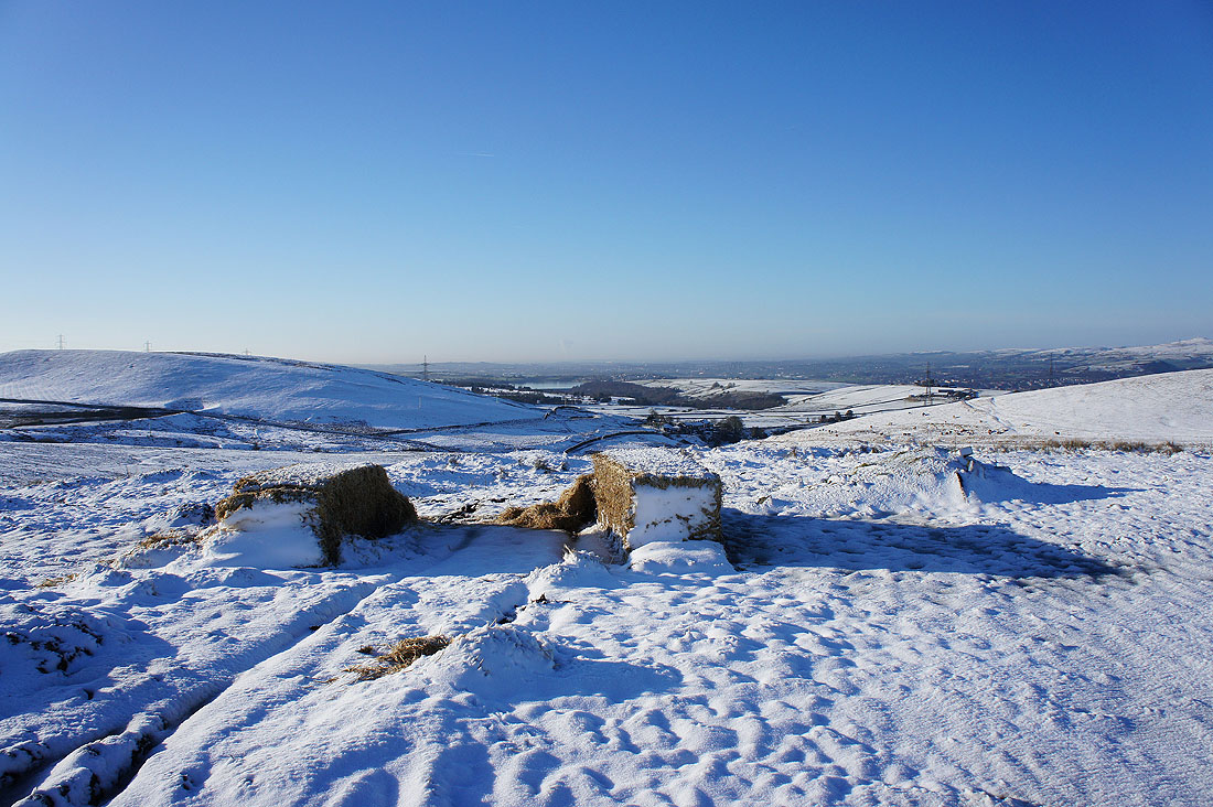
Snowy fields and hay bales as I reach the Halifax Road
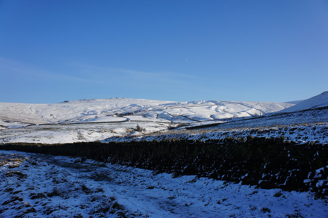
Looking across Littleborough towards Scout Moor, Brown Wardle Hill and Rough Hill
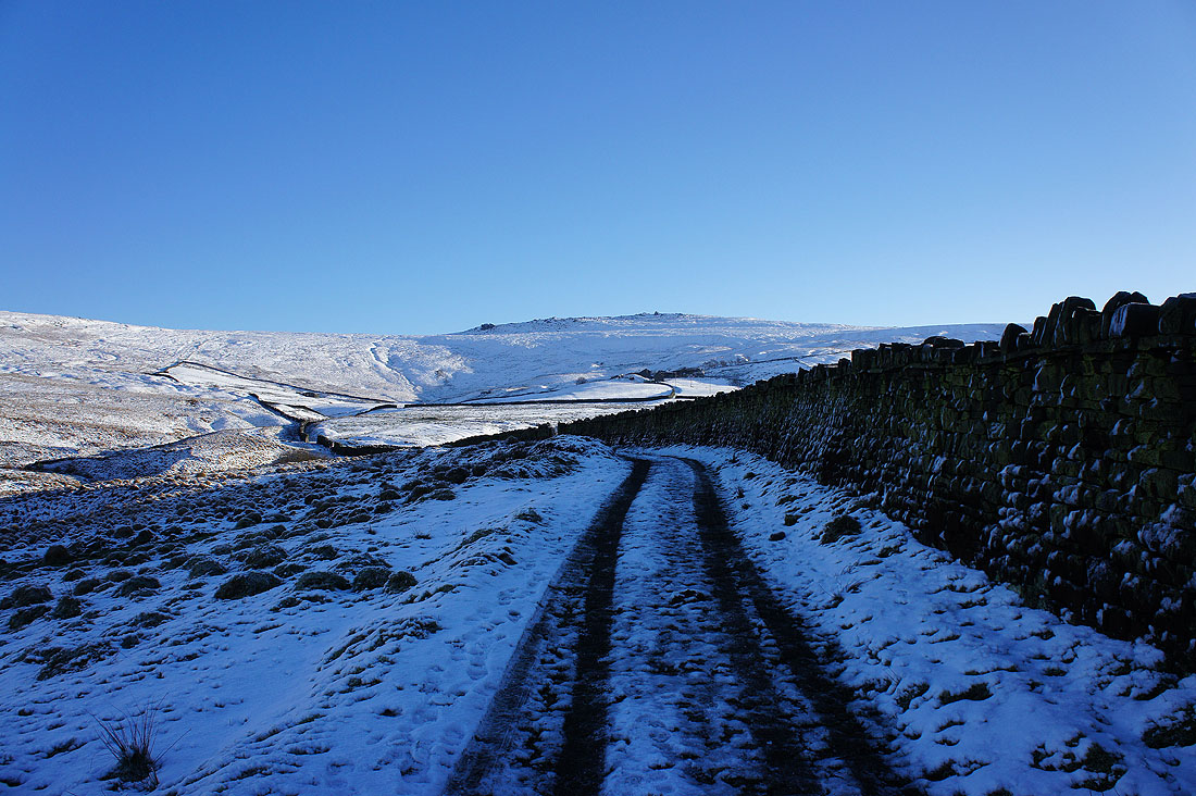
Cobbles beneath the snow as I follow the "Roman Road"
Looking back down towards Hollingworth Lake..
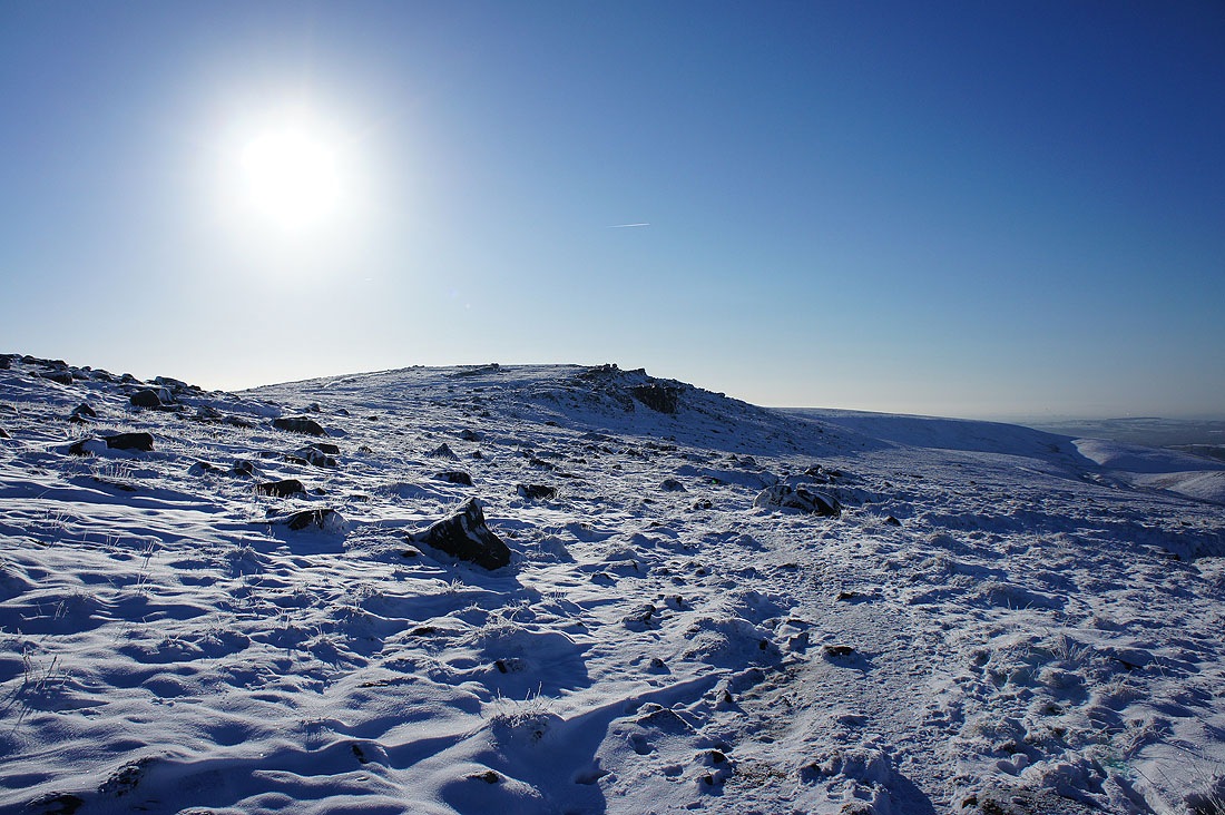
..as I make my way up onto Blackstone Edge
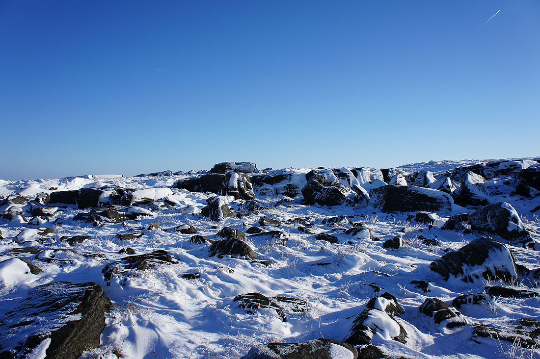
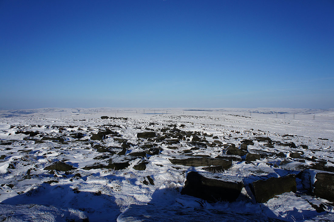
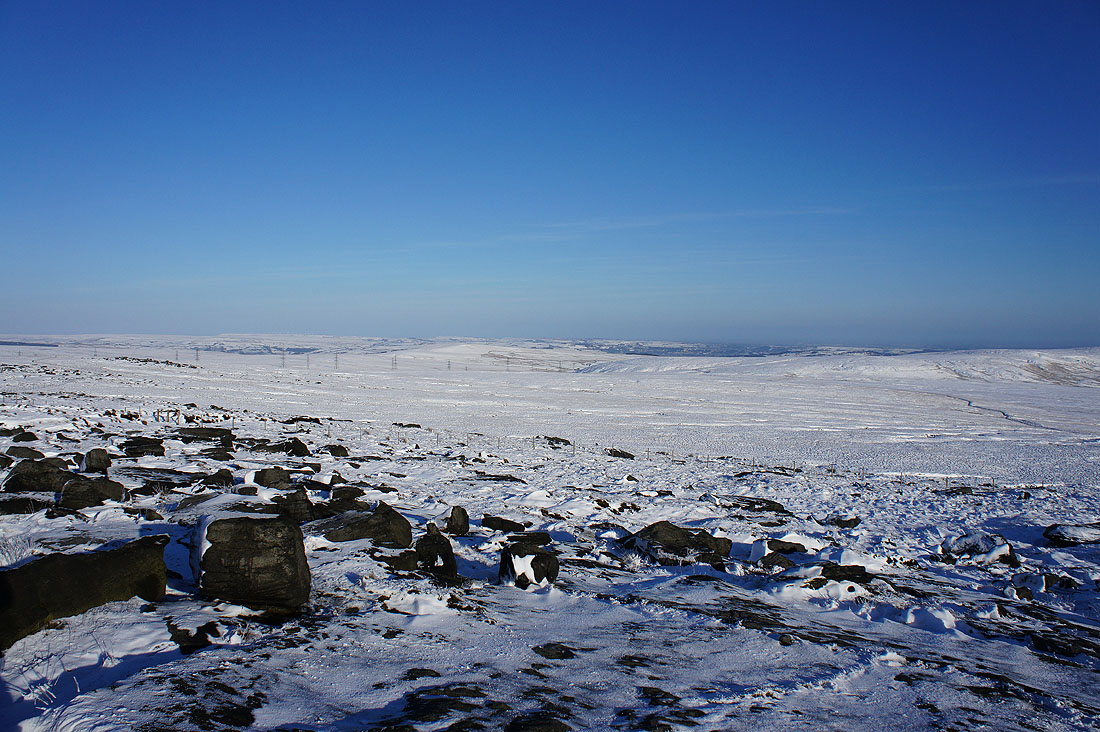
Lots of snow covered gritstone boulders..
..of varying sizes
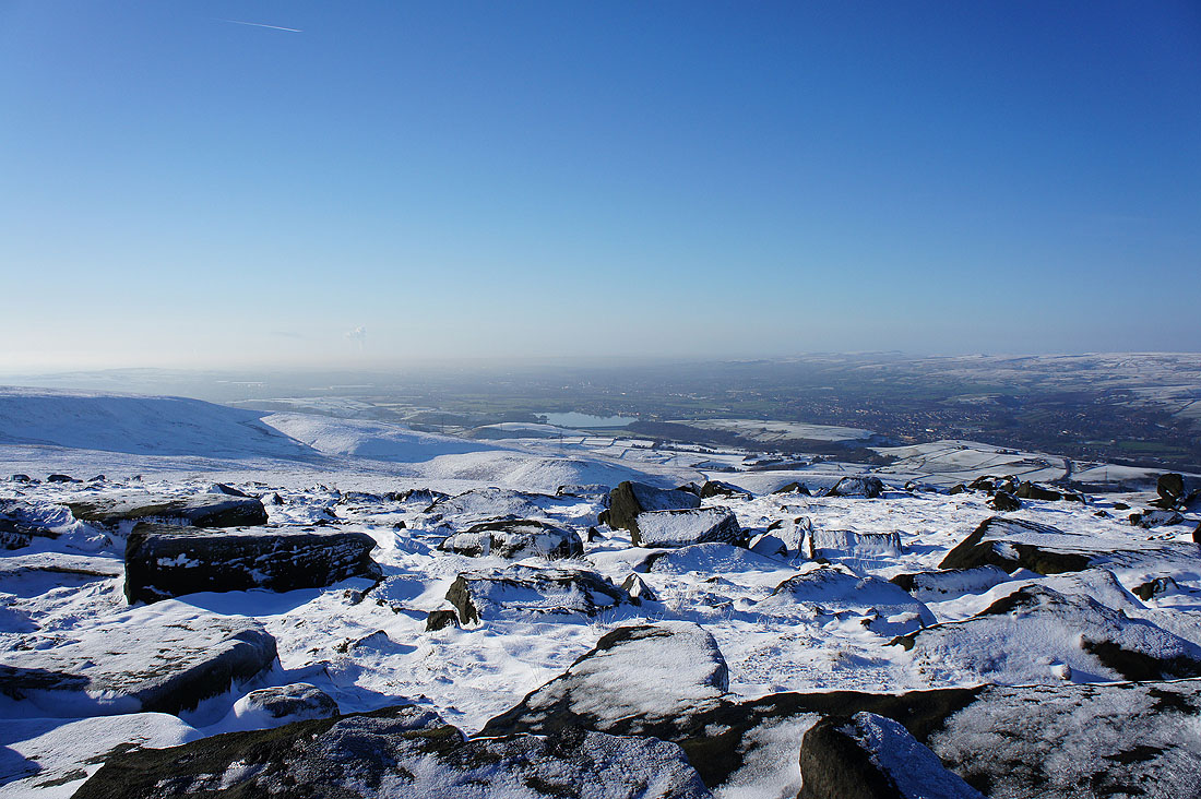
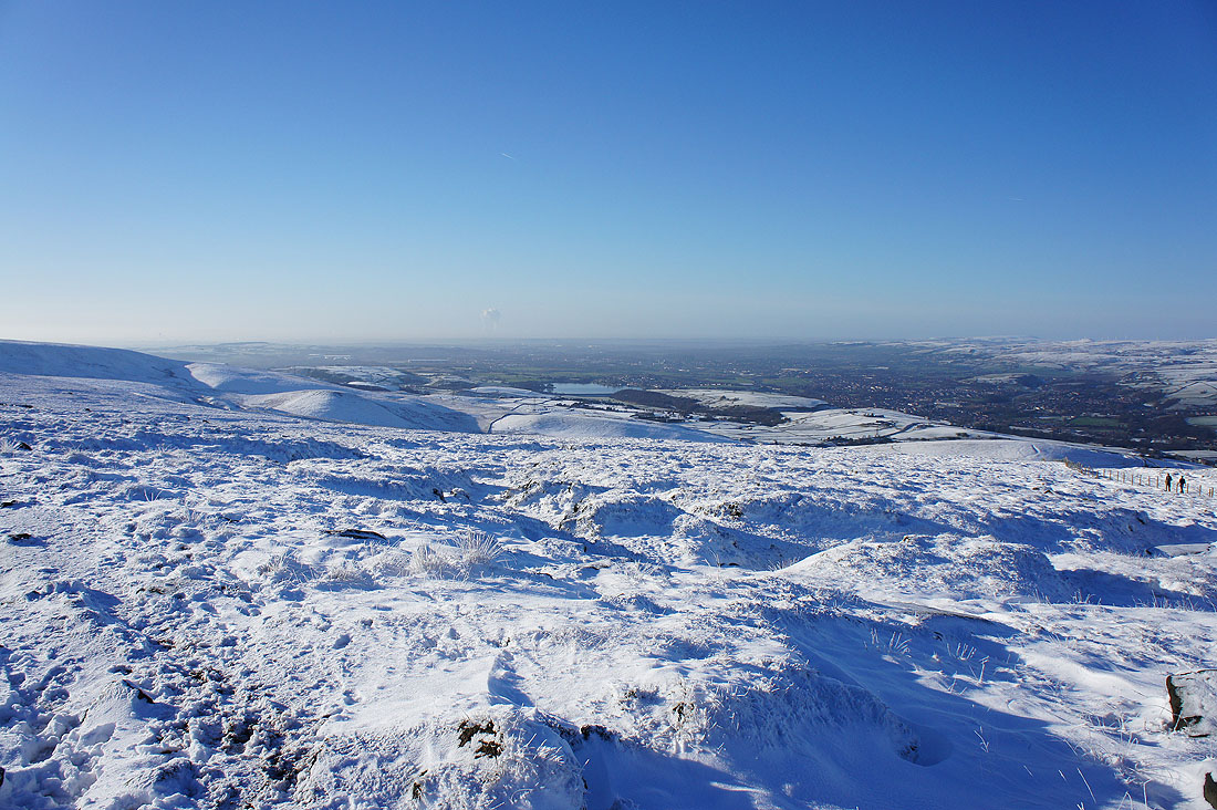
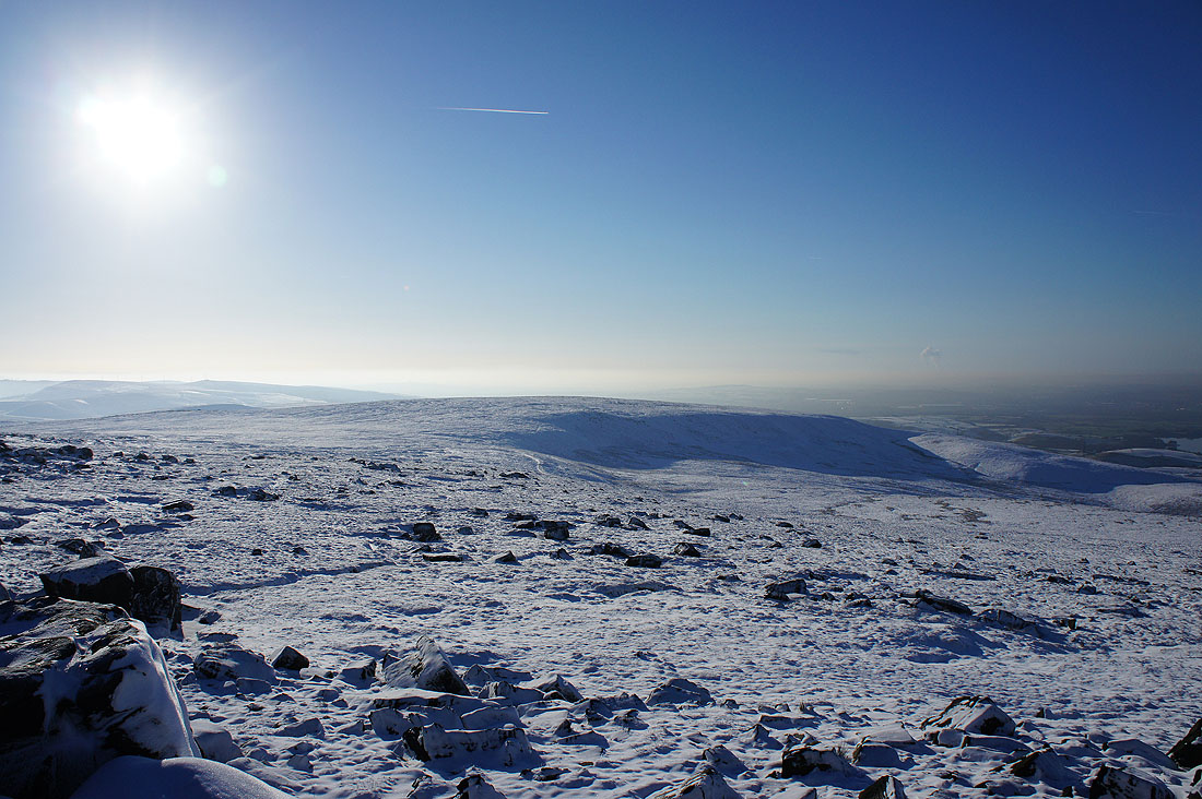
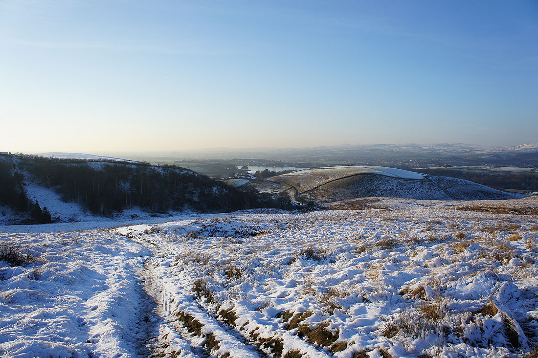
I've had something to eat and drink so it's time I had a wander round and take in the view. Looking west down to Hollingworth Lake and Rochdale. I think the plume of steam in the distance is from the Fiddlers Ferry power station by the River Mersey between Warrington and Widnes.
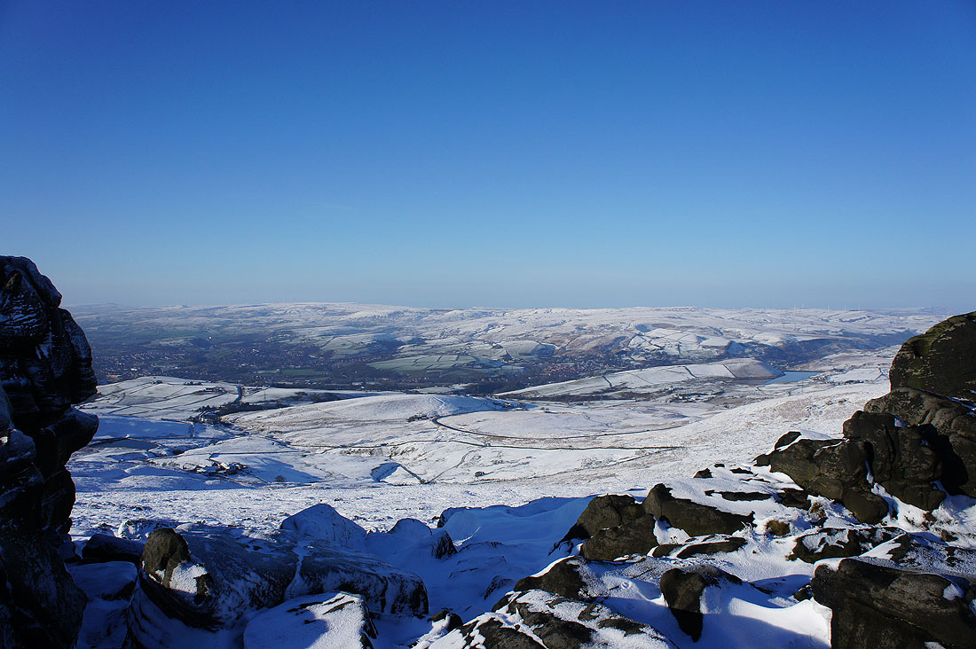
Looking across Littleborough towards Scout Moor, Brown Wardle Hill and Rough Hill
Looking northwest up the Summit gorge to a distant Pendle Hill
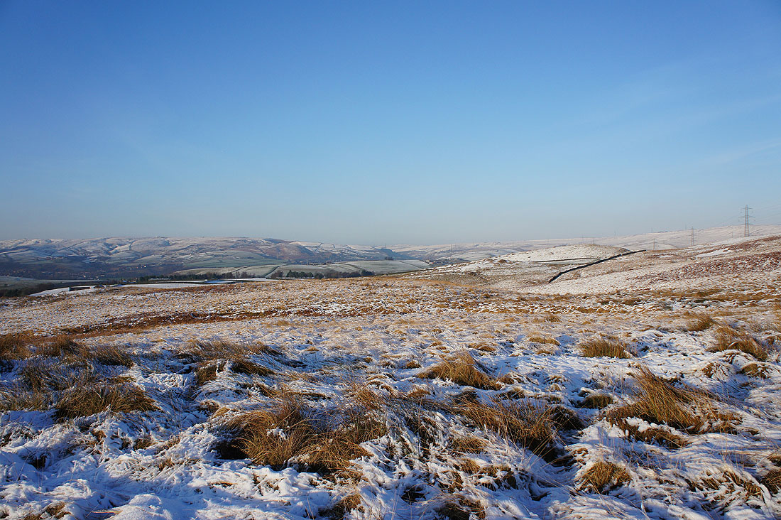
Broad moors head north towards Calderdale. I could make out the Stoodley Pike monument.
To the northeast, Great Manshead Hill and down the Ryburn valley towards Ripponden
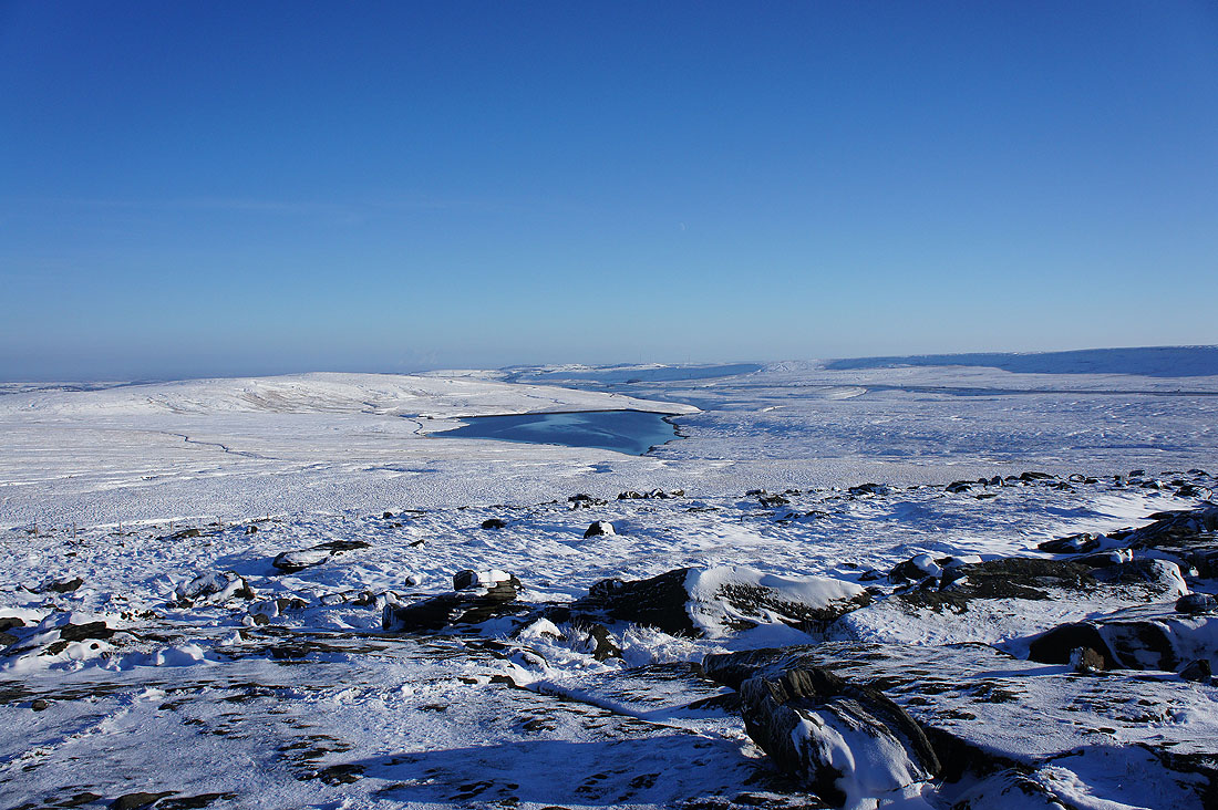
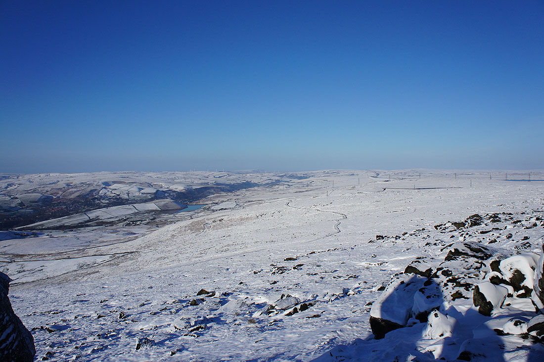
Rishworth Moor and Green Withins Reservoir to the east
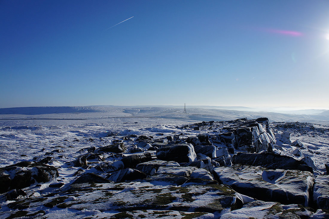
Buckstones and the communication mast that's above the summit of the M62
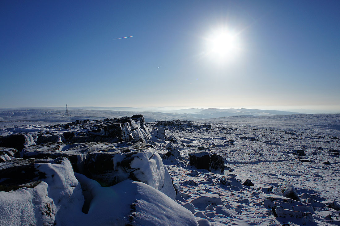
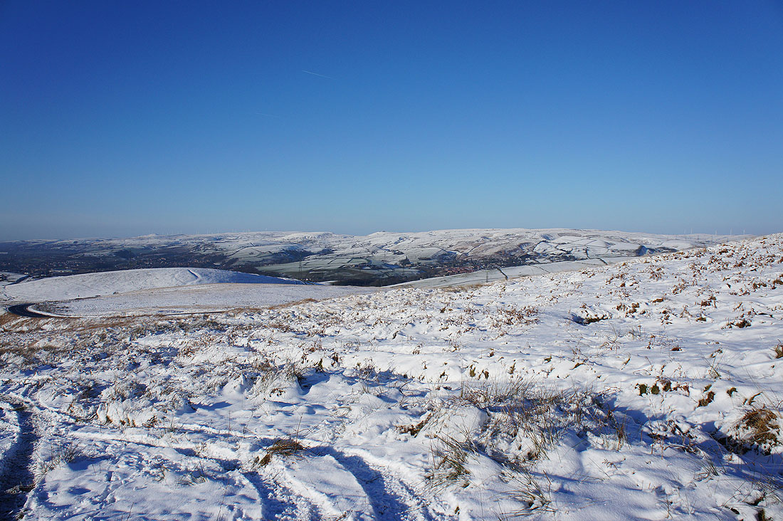
The Saddleworth Moors to the south
and finally, Low House Moor to the southwest
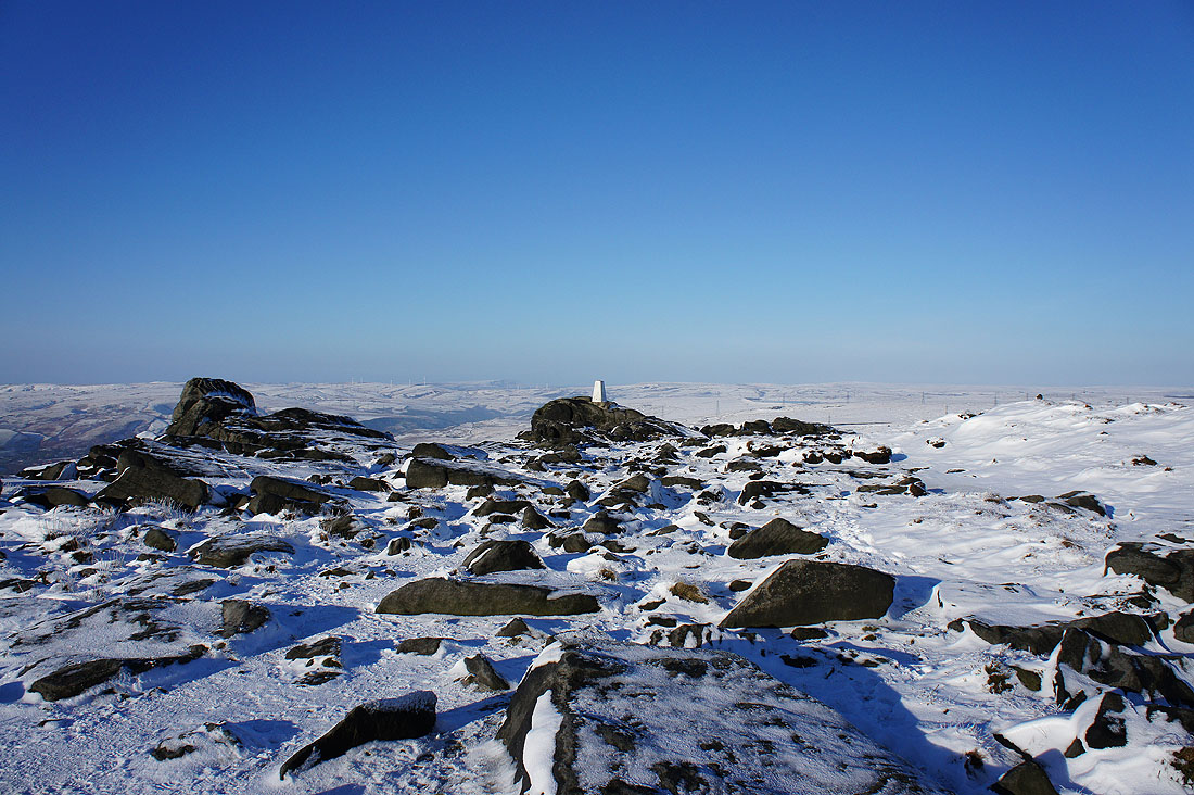
Heading back to the trig point that marks the summit of Blackstone Edge
|
|
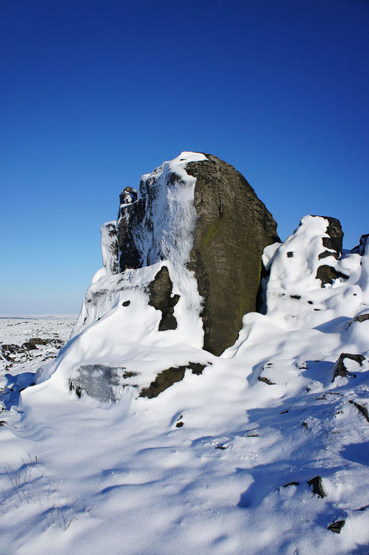
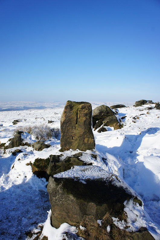
The Aiggin Stone. A medieval guide post that sits at the top of a former packhorse road across the Pennines and back down the "Roman Road".
In Lydgate again and the lowering sun is casting lengthening shadows
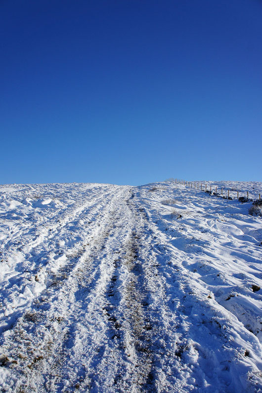
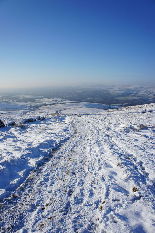
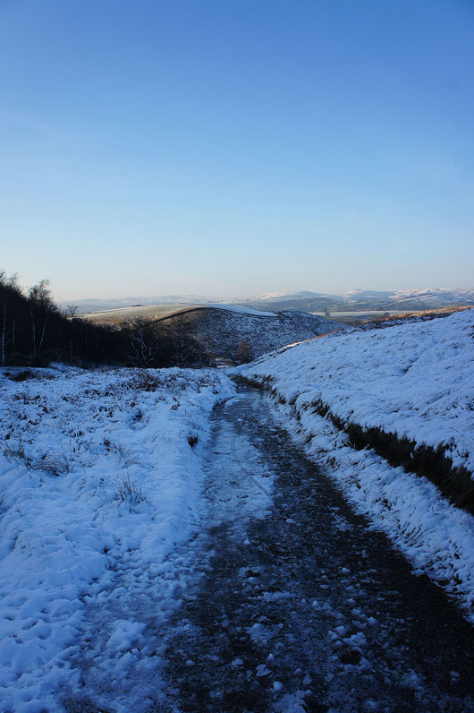
From Lydgate I'm following the Pennine Bridleway all the way back to Hollingworth Lake
There's a beautiful light across the countryside as the sun starts to set
It's pretty icy where the path has been in shadow all day
A beautiful end to the day by Hollingworth Lake