28th December 2021 - Around Kelbrook Moor
Walk Details
Distance walked: 7.5 miles
Total ascent: 1431 ft
OS map used: OL21 - South Pennines
Time taken: 4 hrs
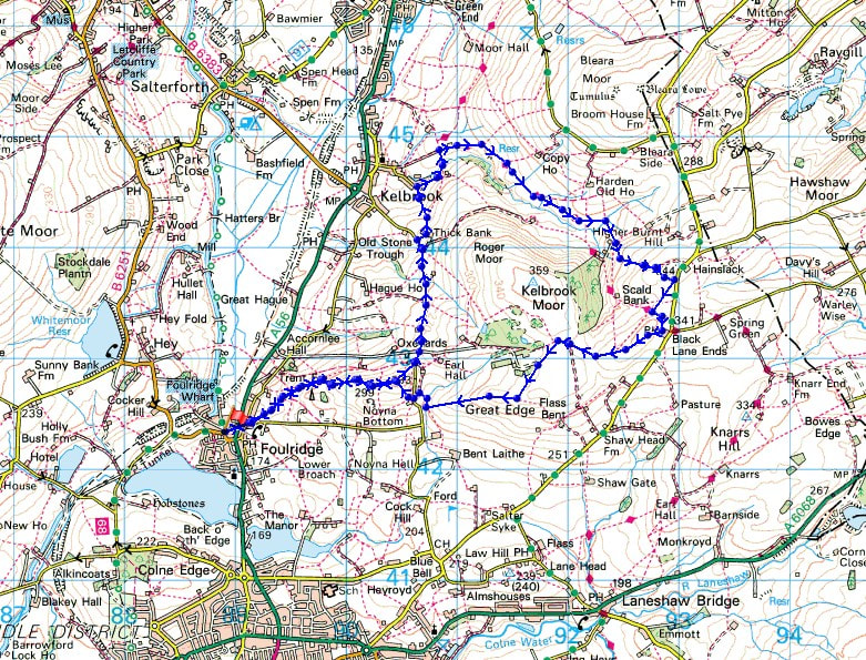
Route description: Foulridge-Skipton Old Road-Noyna Hill-Cob Lane-Thick Bank Farm-Harden Beck-Heads Lane-Pennine Bridleway-Kitchen Farm-Pennine Bridleway-Burnt Hill-Black Lane Ends-Piked Edge-Harwes Farm-Great Edge-Cob Lane-Noyna End Farm-Noyna Hill-Skipton Old Road-Foulridge
An improvement in the weather from yesterday and definitely worth heading out into for a walk from home this afternoon. Overnight rain had cleared and with a bit of luck the cloud might break and I'll have a bit of winter sunshine to enjoy. All the lockdown walks during the past couple of years have meant that I've gotten to know my local moors very well, and which route I can do for the time I have available. I decided to head east today and do a circuit of Kelbrook Moor, and although it brightened up there wasn't much sunshine with just a few sunny spells, on what was a mild day. Quite a contrast to this time last year.
From where I live in Foulridge I walked up to and across the A56, then up to Skipton Old Road and the bottom of Noyna Road, where I took the path up onto Noyna Hill. After crossing the top of Noyna Hill I reached Cob Lane, which I followed north towards Kelbrook until just past the track to Thick Bank Farm. I left the road here for a footpath on the right between a cottage and the farm, which took me north across the lower slopes of Kelbrook Moor and down to the eastern end of Kelbrook. After a brief walk by Harden Beck I crossed it via a footbridge and followed a path up to Heads Lane. I then walked up Heads Lane to its end and onto the Pennine Bridleway and up Harden Clough to Kitchen Farm, where I took the track above Kitchen Farm and followed it up onto Burnt Hill, then the footpath across to Piked Edge above Black Lane Ends, and then from Piked Edge across to Harwes Farm. From Harwes Farm I then made my way across to Great Edge, then followed the path west down Great Edge and across Moss Houses Beck and up to Cob Lane. A path from Cob Lane at Noyna End Farm took me up onto Noyna Hill, and the path west across its top and down to Skipton Old Road was followed. A short walk back to my home in Foulridge was left.
Route map
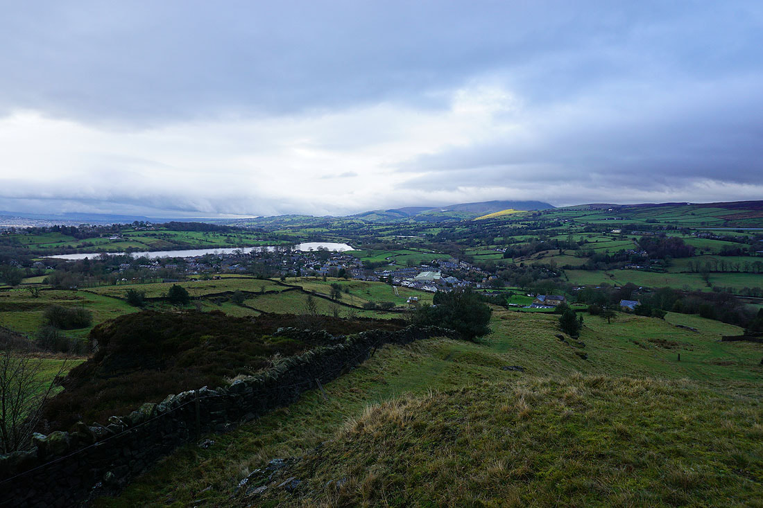
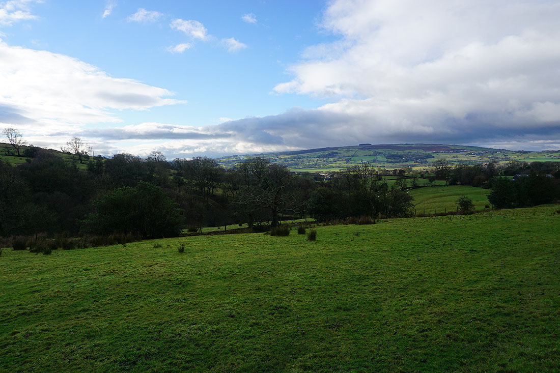
Foulridge Lower Reservoir and Pendle Hill in the distance as I reach the top of the climb up Noyna Hill from Foulridge
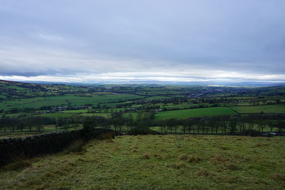
Looking to the north and I can make out the hills between Settle and Malham in the Yorkshire Dales in the distance
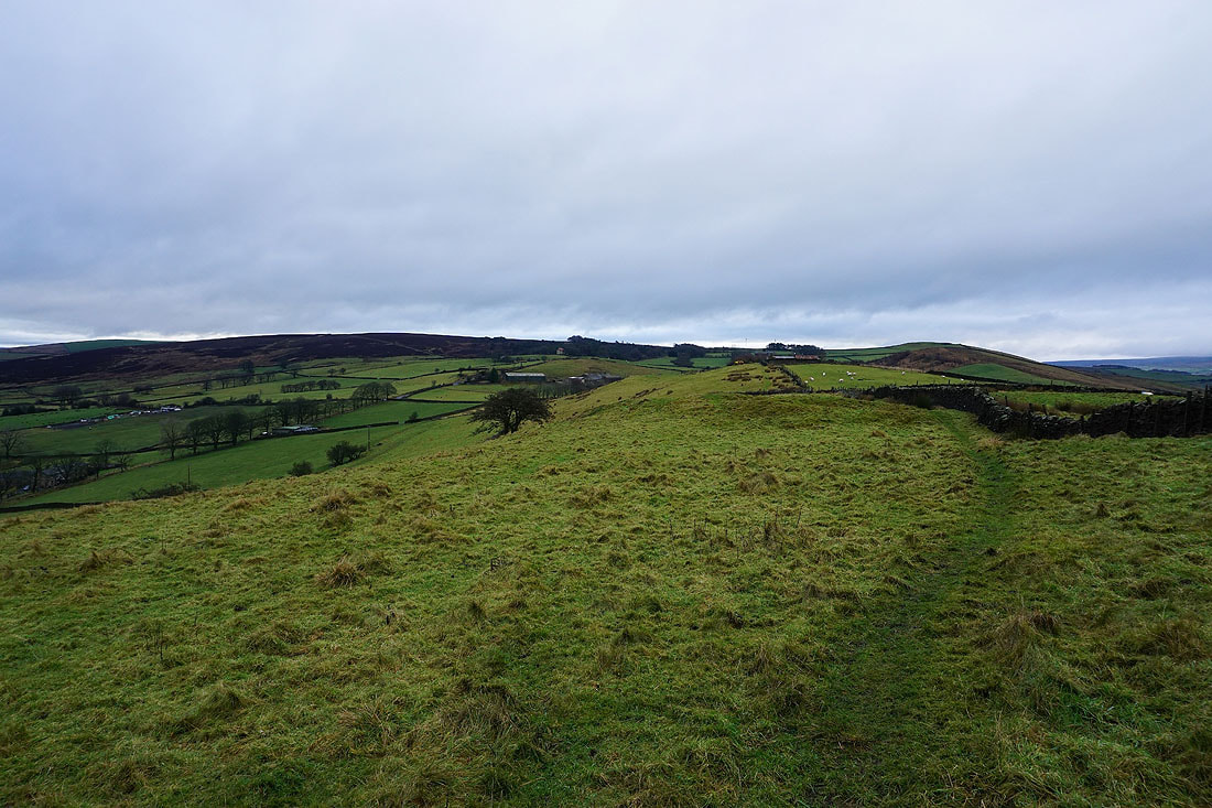
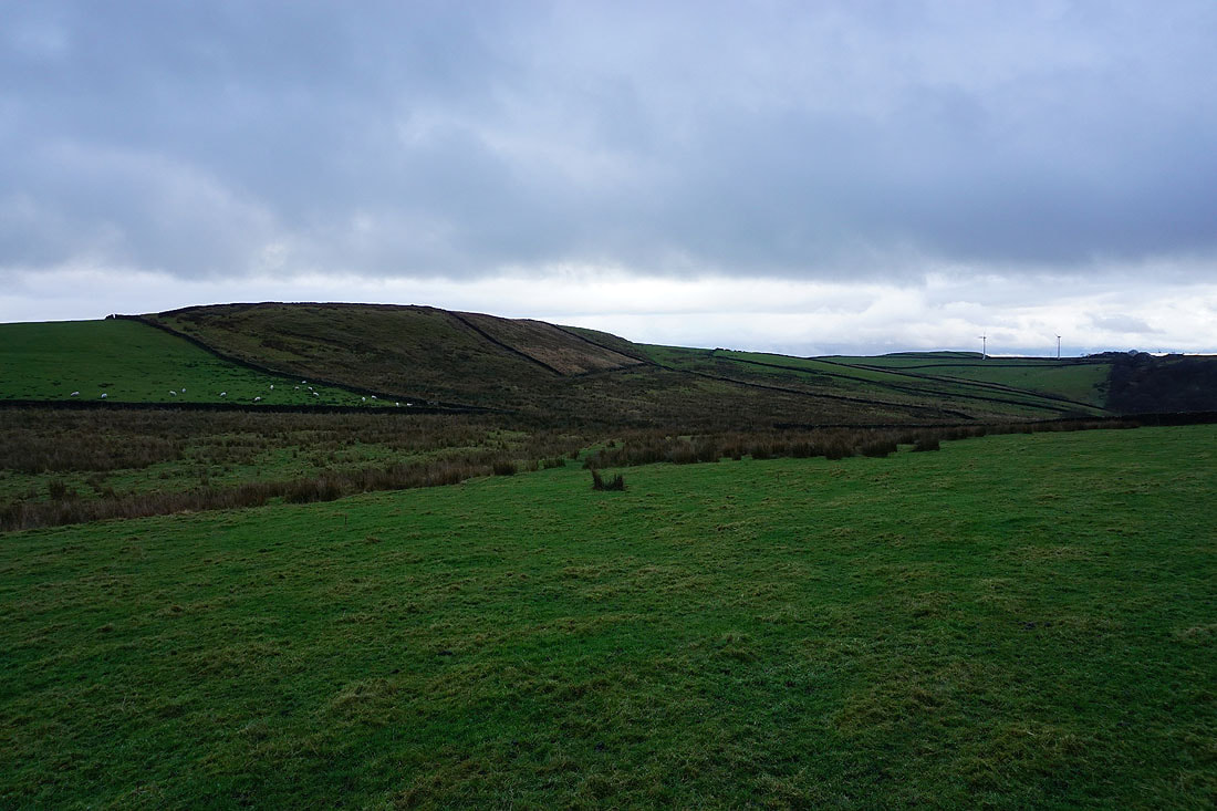
Kelbrook Moor and Great Edge
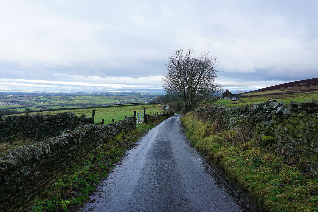
Leaving Noyna Hill I head north along Cob Lane
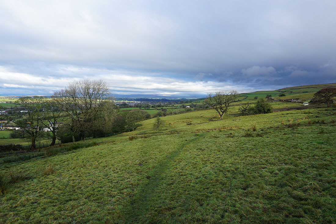
I leave Cob Lane and take a footpath from Thick Bank Farm down to Kelbrook
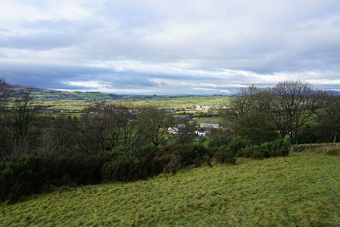
The village of Kelbrook below
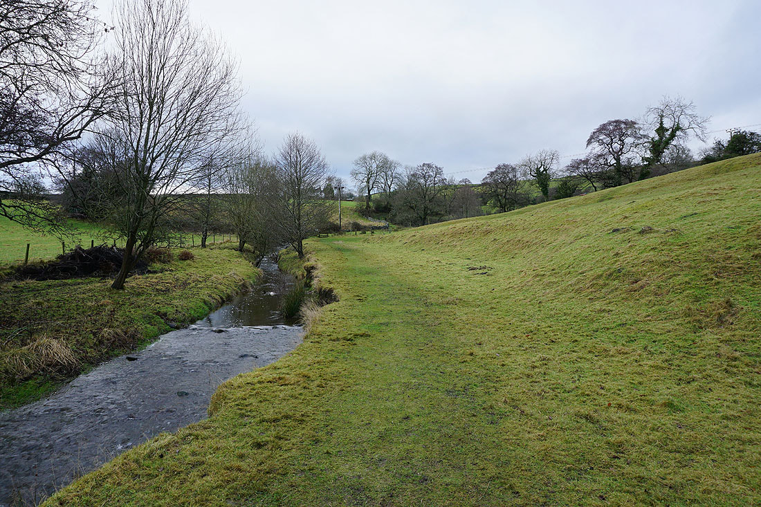
By Harden Beck in Kelbrook
Blue skies over White Moor as I take the Pennine Bridleway up Harden Clough
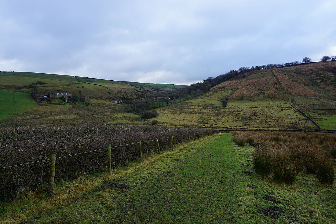
On the Pennine Bridleway up Harden Clough..
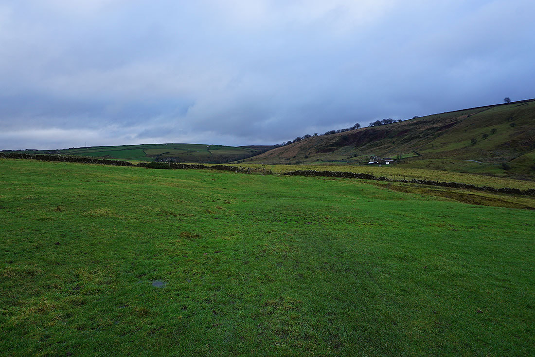
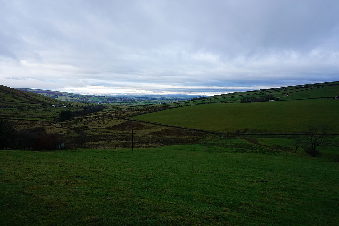
Looking back down Harden Clough as I reach Kitchen Farm
Piked Edge
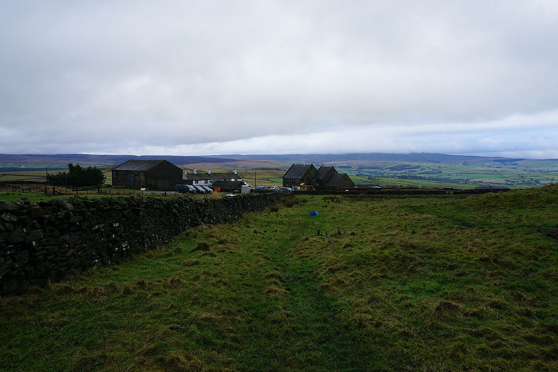
At Black Lane Ends
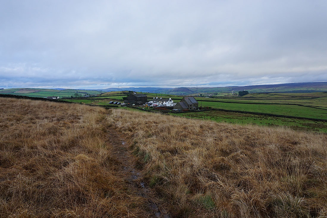
Looking back to Black Lane Ends with Earl Crag and the moors around Airedale in the distance as I head up onto Piked Edge
A cloud topped Boulsworth Hill from Piked Edge
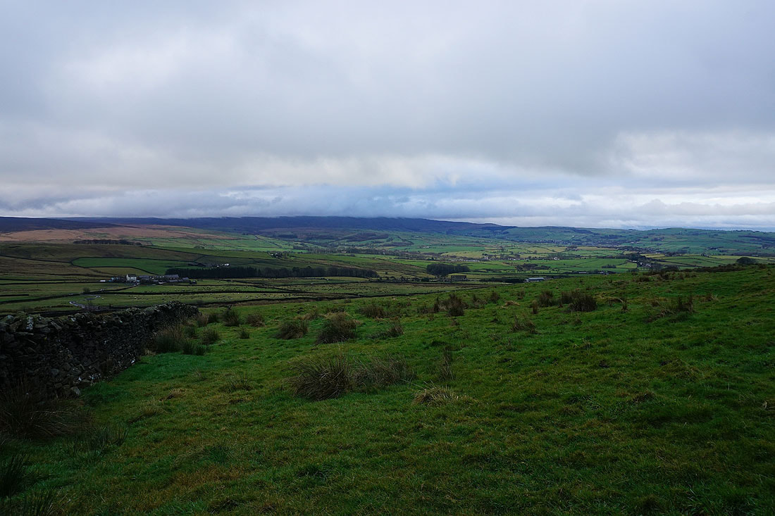
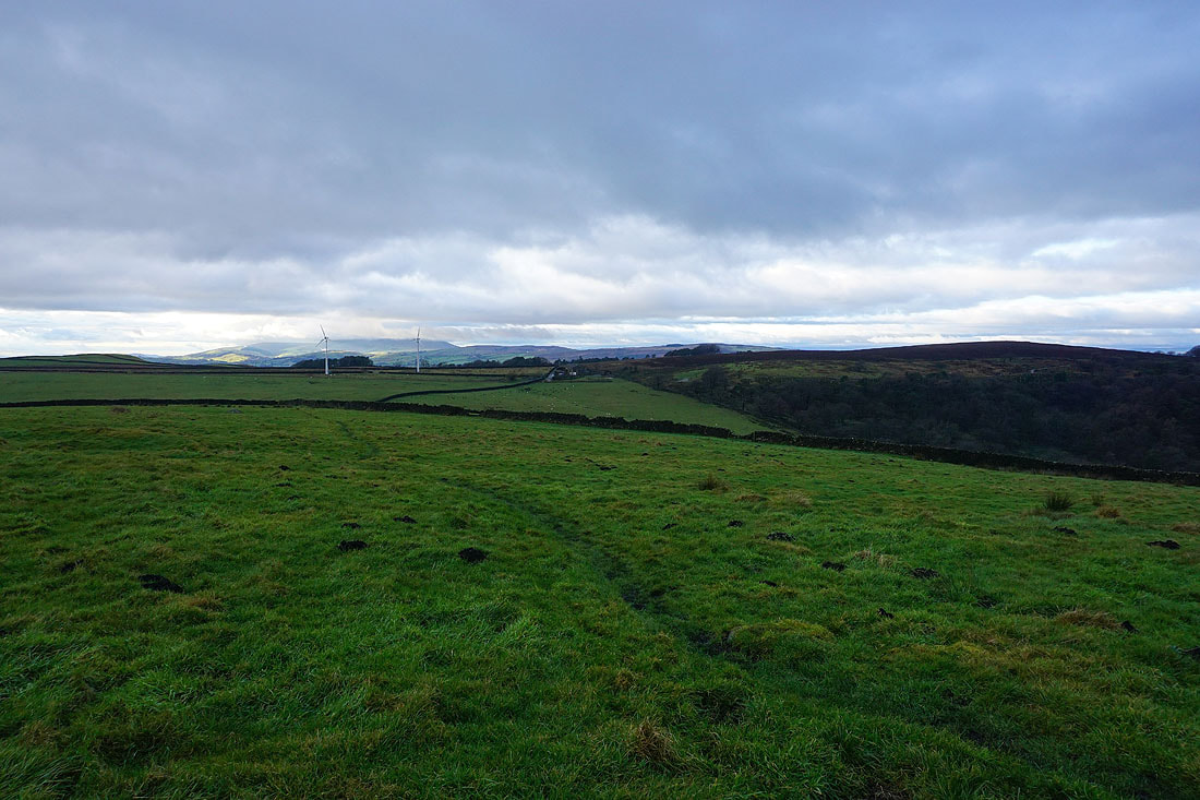
Pendle Hill in the distance, and Kelbrook Moor, from the footpath from Piked Edge to Harwes Farm
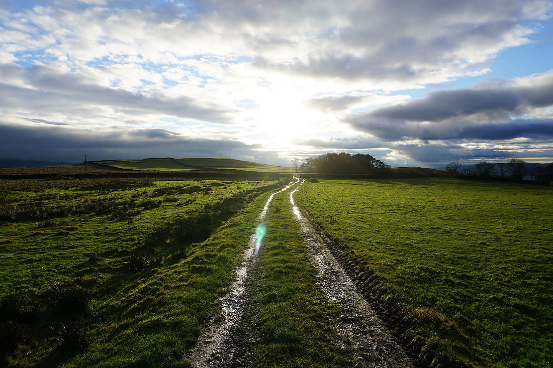
Sunshine at last as I head from Harwes Farm to Great Edge
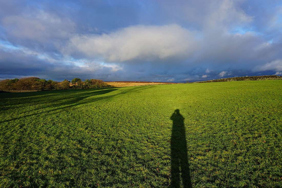
Long shadows as I look across to Kelbrook Moor
Boulsworth Hill and the Forest of Trawden from Great Edge
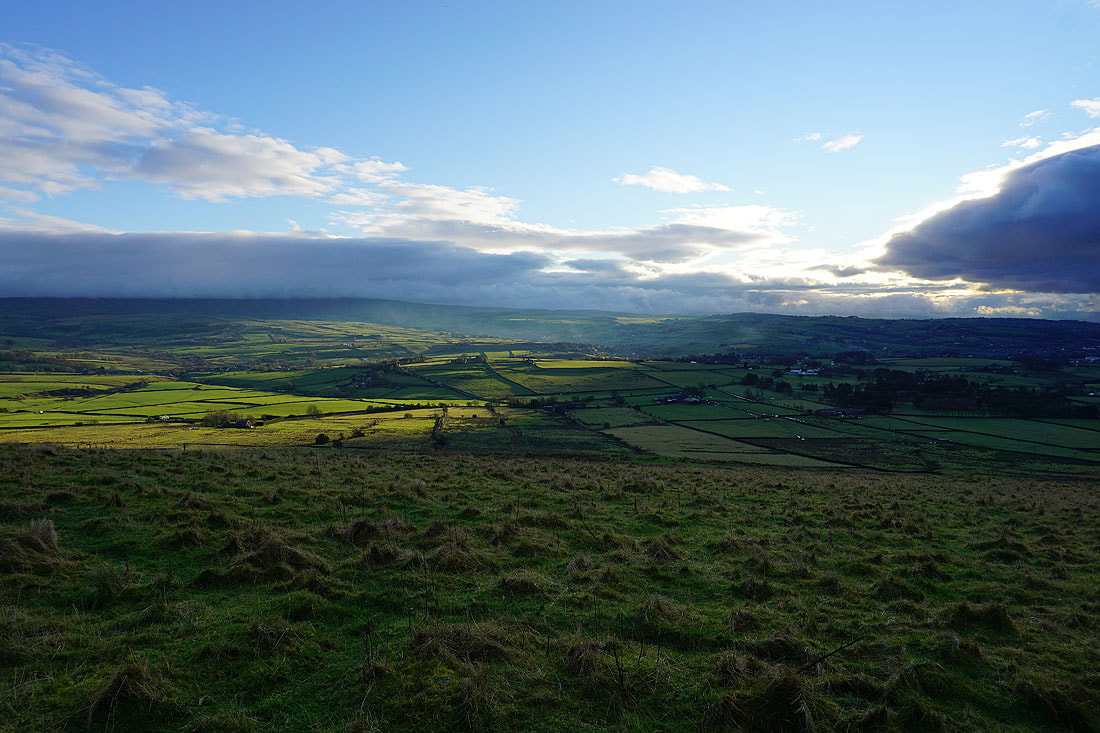
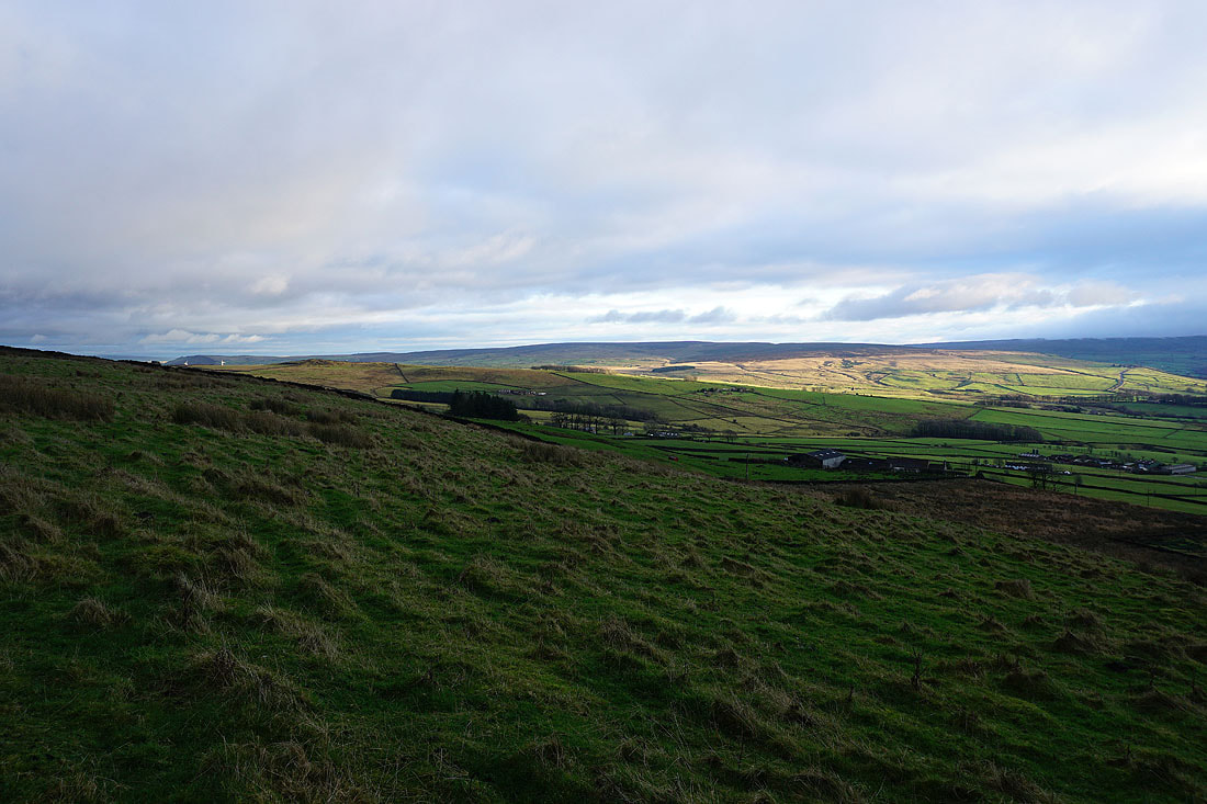
That patch of sunshine didn't last long. It's moved away to the east and is now on Knarrs Hill.
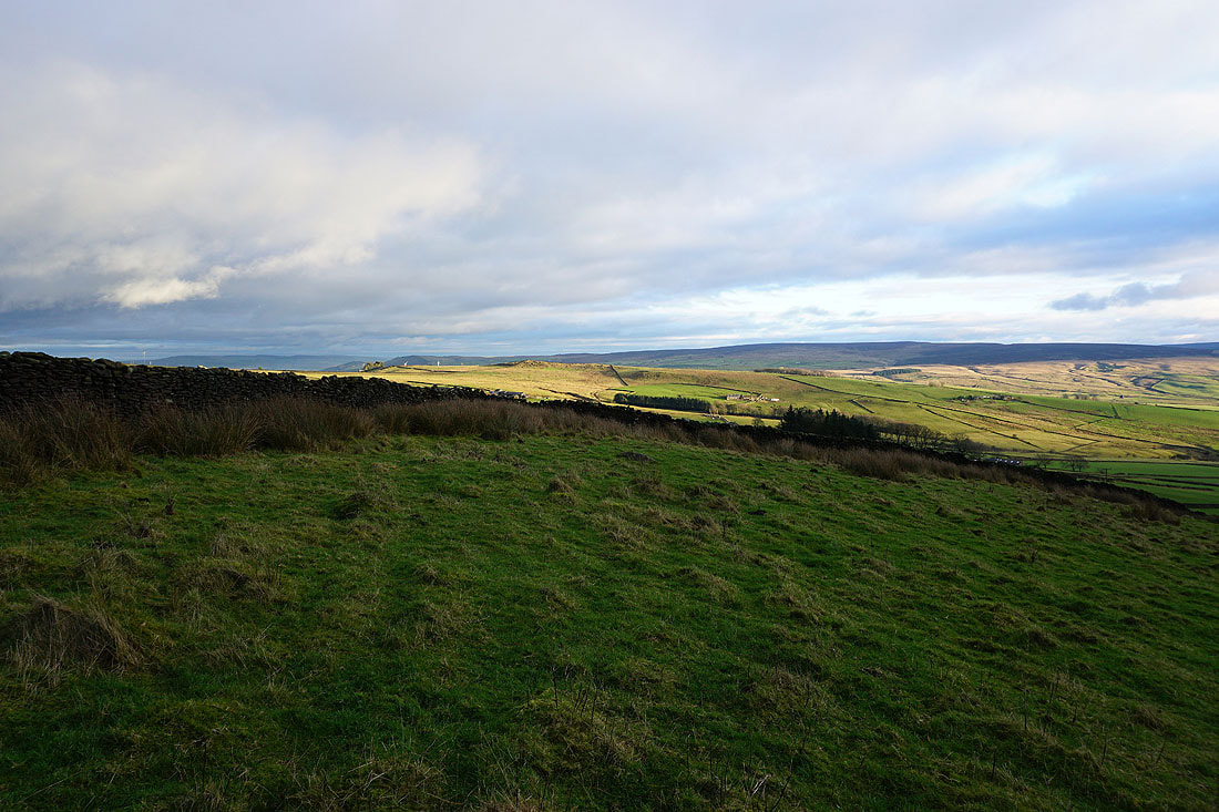
Still some sunshine on Ickornshaw Moor
Pendle Hill in the distance from Great Edge
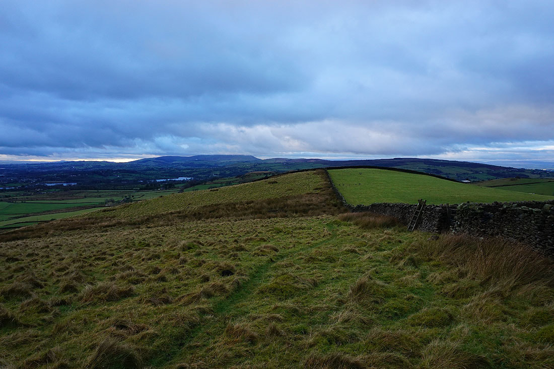
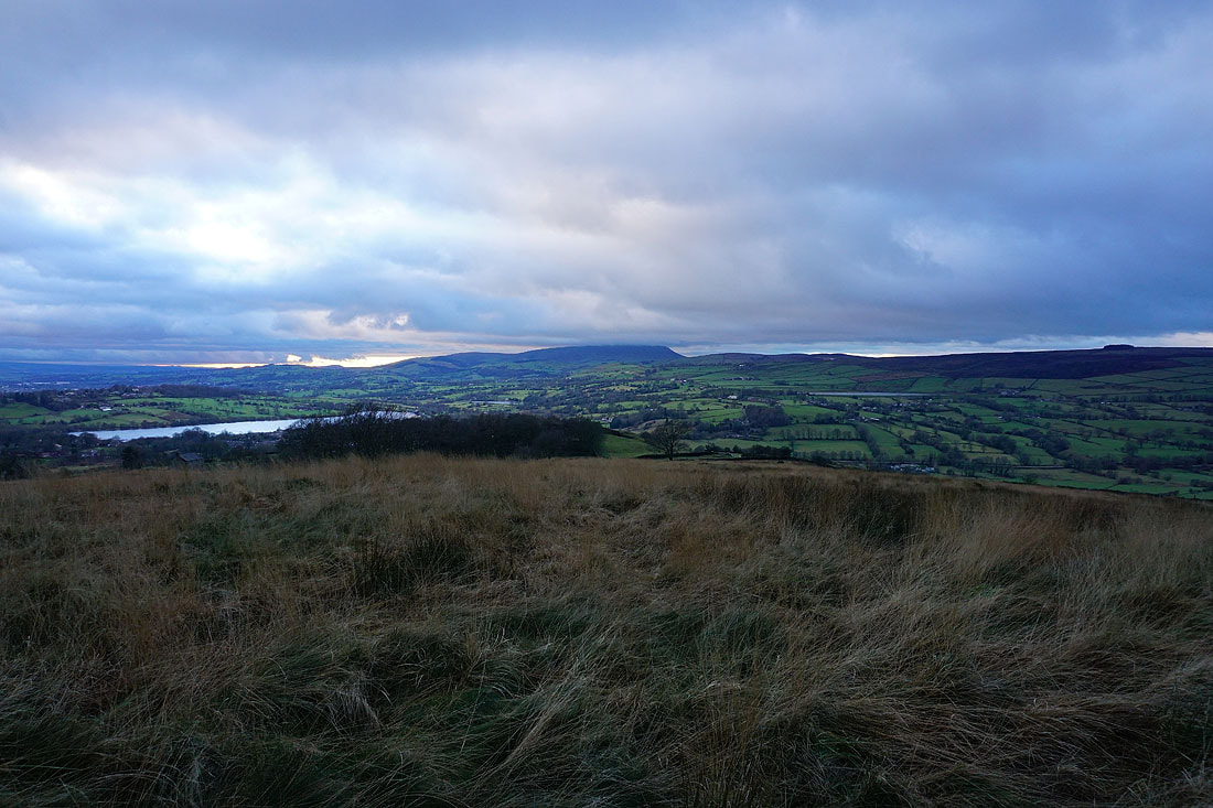
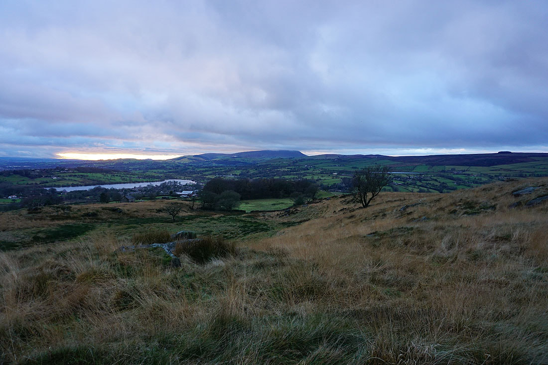
A couple of photos of Pendle Hill from Noyna Hill before I head back down to Foulridge and home..
