28th February 2021 - Pinhaw Beacon
Walk Details
Distance walked: 16.0 miles
Total ascent: 2434 ft
OS map used: OL21 - South Pennines
Time taken: 8 hrs
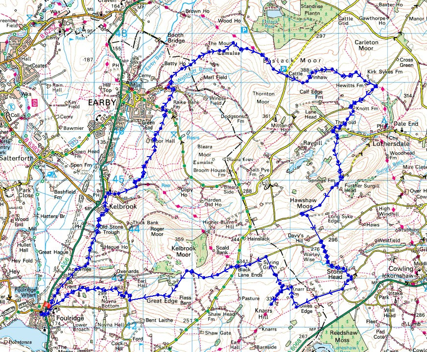
Route description: Foulridge-Skipton Old Road-Old Stone Trough Lane-Waterloo Road-Kelbrook-Main Street-Harden Road-Heads Lane-Pendle Way-Earby-Birch Hall Lane-Mill Brow Road-Wentcliff Brook-Gaylands Lane-Rectory Allotment-Clogger Lane-Pennine Way-Pinhaw Beacon-Pennine Way-White Hill Lane-The Fold-Lothersdale-Hawshaw Road-Tom Lane-Stone Head Lane-Hill End Lane-Sandyforth Lane-Knarr End Farm-Pennine Bridleway-Knarrs Hill-Pennine Bridleway-Warley Wise Lane-Black Lane Ends-Piked Edge-Harwes Farm-Great Edge-Cob Lane-Noyna End Farm-Noyna Hill-Skipton Old Road-Foulridge
What a glorious day for being on the moors! More or less wall-to-wall blue skies and sunshine, and with no breeze to speak of, it felt warm in the sun. It's a long walk from home to reach Pinhaw Beacon, but when the weather is like it was today I just want to spend as much time outside in it as I can. The route I followed was more or less one that I did in May last year, making my way north to Kelbrook and Earby, before heading up onto the moors and to Pinhaw Beacon, and then returning home across the western end of Lothersdale and the moors to the east of Foulridge. I made good time on my outbound route in the morning and arrived on Pinhaw Beacon at midday, so I decided to extend the walk as I was making my way back towards home by taking in Knarrs Hill. This resulted in me timing it just right to take in the sunset from Noyna Hill.
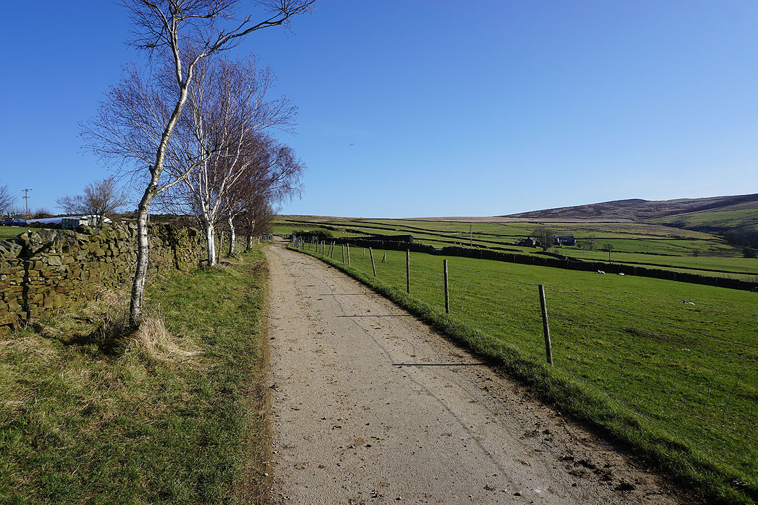
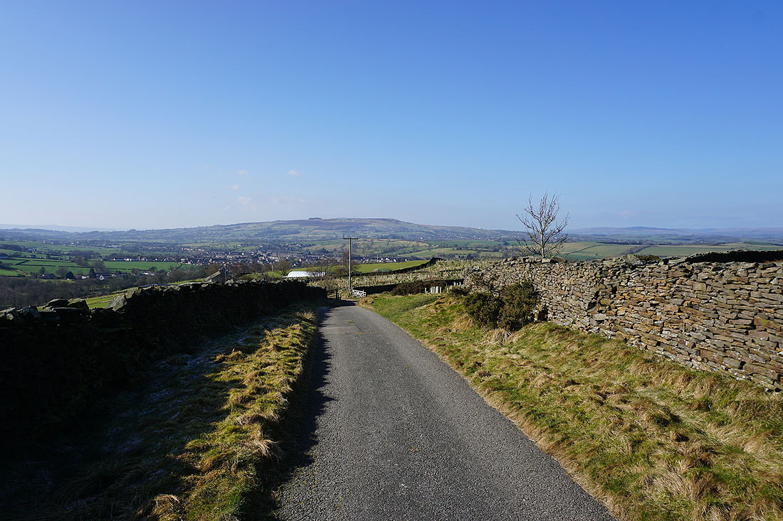
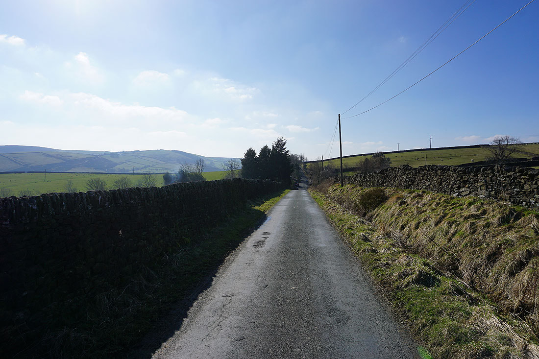
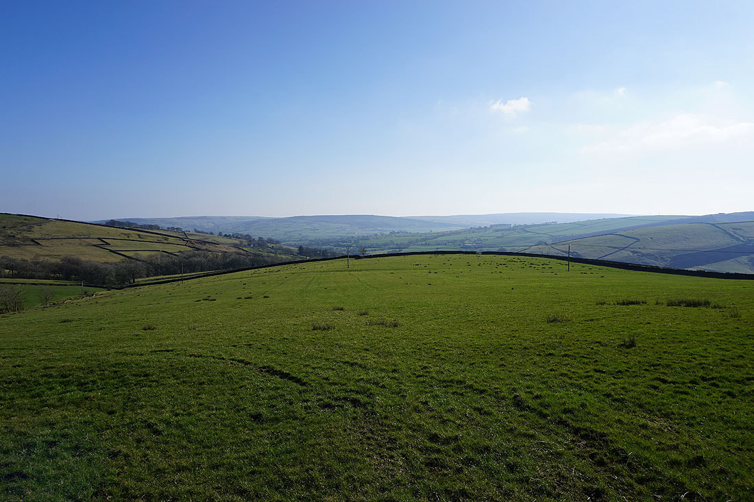
From where I live in Foulridge I crossed the A56 and walked north along Skipton Old Road and Old Stone Trough Lane to Kelbrook, then along Waterloo Road and Main Street to St. Mary's Church, where I turned right onto Harden Road. At the end of Harden Road I carried on up the track of Heads Lane until I reached the Pendle Way. I then followed the Pendle Way north across the hillside to Earby, crossing Coolham Lane, to reach Birch Hall Lane. I then walked down Birch Hall Lane to the Youth Hostel where I took a footpath on the right down through woodland, across Wentcliff Brook, and up to Gaylands Lane. After walking up Gaylands Lane I reached access land and the bridleway across the moorland of Rectory Allotment to reach Clogger Lane and the Pennine Way. I then followed the Pennine Way up Clogger Lane and then up to the summit of Pinhaw Beacon, where I stopped for lunch. After this much needed break I kept on the Pennine Way and followed it east down to White Hill Lane above Lothersdale. I then walked west along White Hill Lane until I reached Knot Barn, where I took a footpath down to and across Knot Gill and then down to The Fold, in Lothersdale. After turning right and walking along the lane through the hamlet I reached the track to Raygill, then after a short walk along this I took a footpath on the left and followed it up the hillside to Hawshaw Road. A walk west along Hawshaw Road took me to the junction with Tom Lane, which took me south to a crossroads and Stone Head Lane. I then walked south along Stone Head Lane, turned right onto Hill End Lane and then right again onto Sandyforth Lane, which I followed west to its end at Mosside Kennels and Cattery. A track took me west and then north from here towards Sedgemoor House, before I took a footpath north to Knarr End Farm and the Pennine Bridleway. After a there and back visit to Knarrs Hill I followed the Pennine Bridleway north to Warley Wise Lane, which took me west to Black Lane Ends and Black Lane Ends Tavern. I took the public footpath through the pub car park and up onto the hill of Piked Edge and then across fields to Harwes Farm, where I took the footpath southwest onto Great Edge. I then followed the path west down Great Edge and across Moss Houses Beck and up to Cob Lane. A path from Cob Lane at Noyna End Farm took me up onto Noyna Hill, and the path west across its top and down to Skipton Old Road was followed. A short walk back to my home in Foulridge was left.
Total ascent: 2434 ft
OS map used: OL21 - South Pennines
Time taken: 8 hrs
Route description: Foulridge-Skipton Old Road-Old Stone Trough Lane-Waterloo Road-Kelbrook-Main Street-Harden Road-Heads Lane-Pendle Way-Earby-Birch Hall Lane-Mill Brow Road-Wentcliff Brook-Gaylands Lane-Rectory Allotment-Clogger Lane-Pennine Way-Pinhaw Beacon-Pennine Way-White Hill Lane-The Fold-Lothersdale-Hawshaw Road-Tom Lane-Stone Head Lane-Hill End Lane-Sandyforth Lane-Knarr End Farm-Pennine Bridleway-Knarrs Hill-Pennine Bridleway-Warley Wise Lane-Black Lane Ends-Piked Edge-Harwes Farm-Great Edge-Cob Lane-Noyna End Farm-Noyna Hill-Skipton Old Road-Foulridge
What a glorious day for being on the moors! More or less wall-to-wall blue skies and sunshine, and with no breeze to speak of, it felt warm in the sun. It's a long walk from home to reach Pinhaw Beacon, but when the weather is like it was today I just want to spend as much time outside in it as I can. The route I followed was more or less one that I did in May last year, making my way north to Kelbrook and Earby, before heading up onto the moors and to Pinhaw Beacon, and then returning home across the western end of Lothersdale and the moors to the east of Foulridge. I made good time on my outbound route in the morning and arrived on Pinhaw Beacon at midday, so I decided to extend the walk as I was making my way back towards home by taking in Knarrs Hill. This resulted in me timing it just right to take in the sunset from Noyna Hill.
From where I live in Foulridge I crossed the A56 and walked north along Skipton Old Road and Old Stone Trough Lane to Kelbrook, then along Waterloo Road and Main Street to St. Mary's Church, where I turned right onto Harden Road. At the end of Harden Road I carried on up the track of Heads Lane until I reached the Pendle Way. I then followed the Pendle Way north across the hillside to Earby, crossing Coolham Lane, to reach Birch Hall Lane. I then walked down Birch Hall Lane to the Youth Hostel where I took a footpath on the right down through woodland, across Wentcliff Brook, and up to Gaylands Lane. After walking up Gaylands Lane I reached access land and the bridleway across the moorland of Rectory Allotment to reach Clogger Lane and the Pennine Way. I then followed the Pennine Way up Clogger Lane and then up to the summit of Pinhaw Beacon, where I stopped for lunch. After this much needed break I kept on the Pennine Way and followed it east down to White Hill Lane above Lothersdale. I then walked west along White Hill Lane until I reached Knot Barn, where I took a footpath down to and across Knot Gill and then down to The Fold, in Lothersdale. After turning right and walking along the lane through the hamlet I reached the track to Raygill, then after a short walk along this I took a footpath on the left and followed it up the hillside to Hawshaw Road. A walk west along Hawshaw Road took me to the junction with Tom Lane, which took me south to a crossroads and Stone Head Lane. I then walked south along Stone Head Lane, turned right onto Hill End Lane and then right again onto Sandyforth Lane, which I followed west to its end at Mosside Kennels and Cattery. A track took me west and then north from here towards Sedgemoor House, before I took a footpath north to Knarr End Farm and the Pennine Bridleway. After a there and back visit to Knarrs Hill I followed the Pennine Bridleway north to Warley Wise Lane, which took me west to Black Lane Ends and Black Lane Ends Tavern. I took the public footpath through the pub car park and up onto the hill of Piked Edge and then across fields to Harwes Farm, where I took the footpath southwest onto Great Edge. I then followed the path west down Great Edge and across Moss Houses Beck and up to Cob Lane. A path from Cob Lane at Noyna End Farm took me up onto Noyna Hill, and the path west across its top and down to Skipton Old Road was followed. A short walk back to my home in Foulridge was left.
Route map
© Crown copyright. All rights reserved. License number PU 100034184.
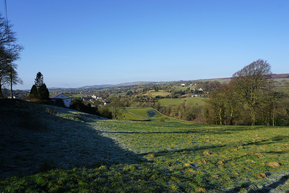
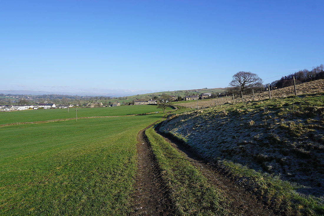
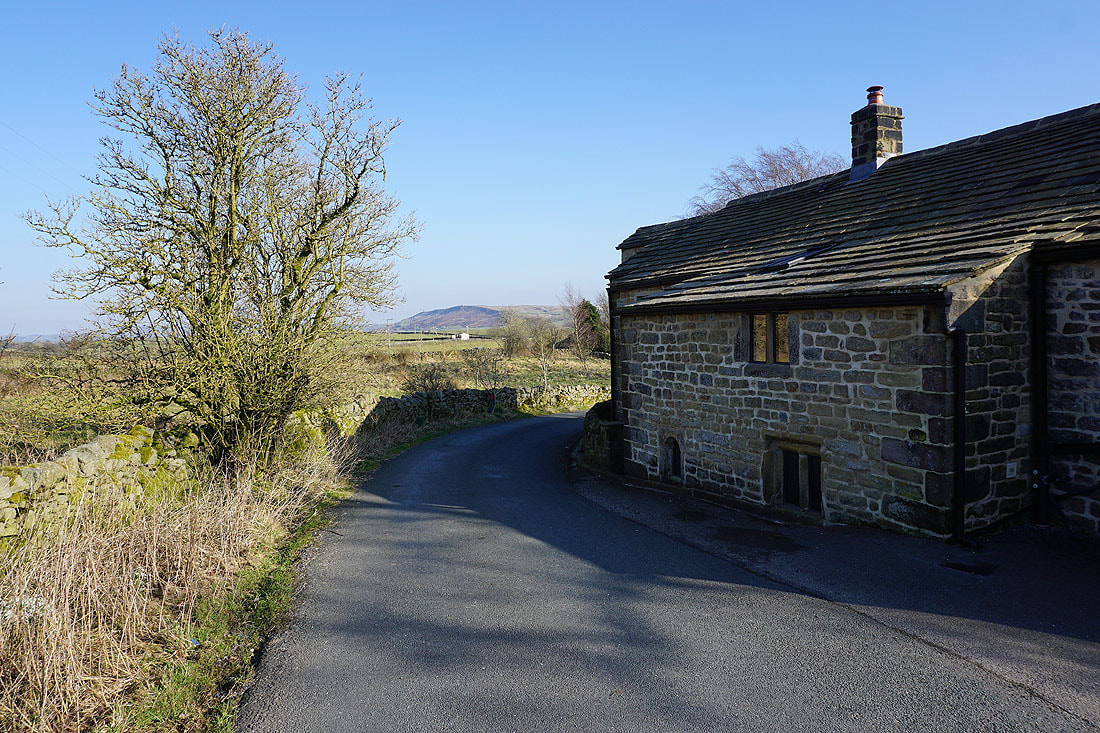
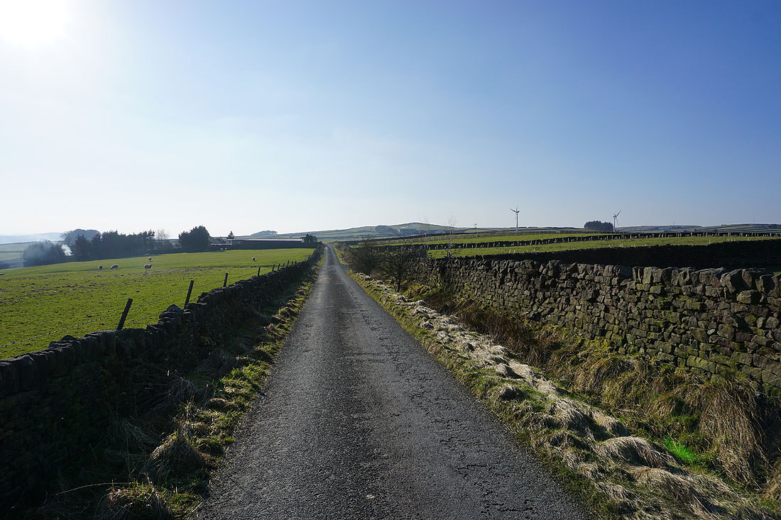
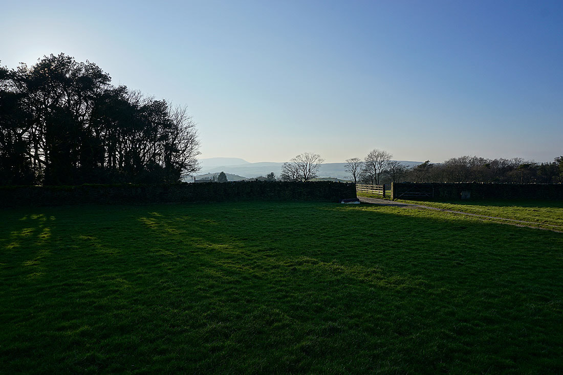
It's still frosty in the shadows as I leave Foulridge and..
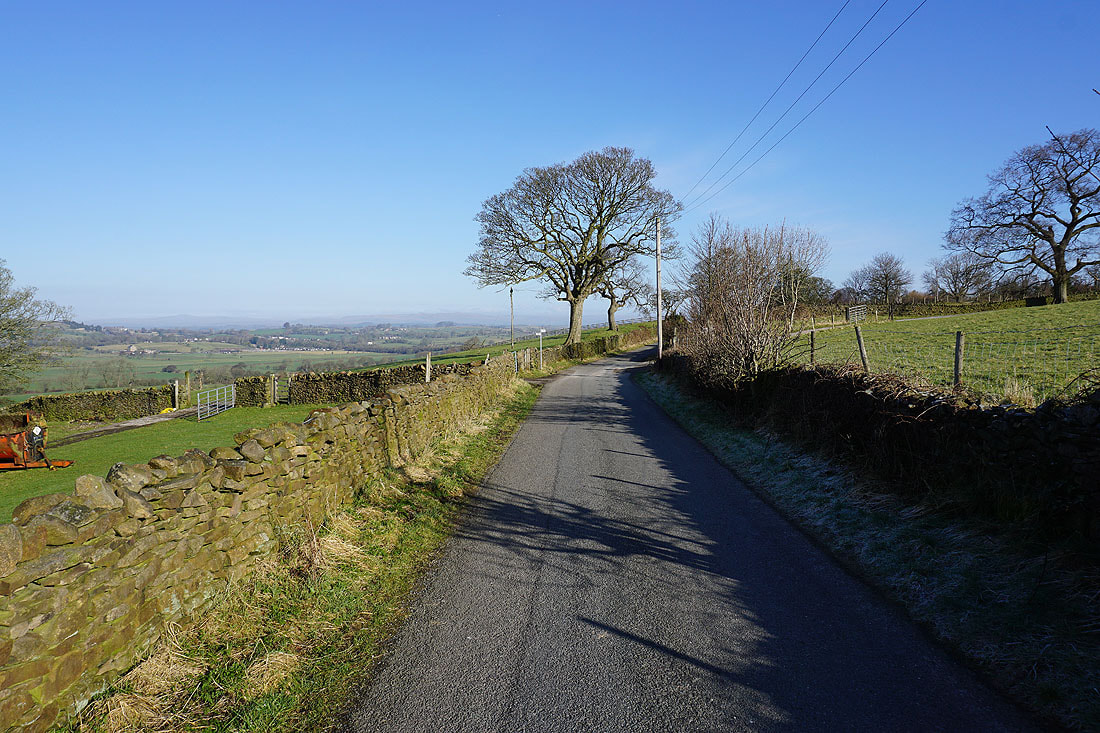
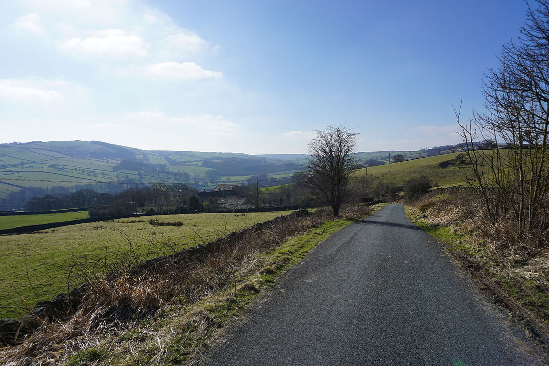
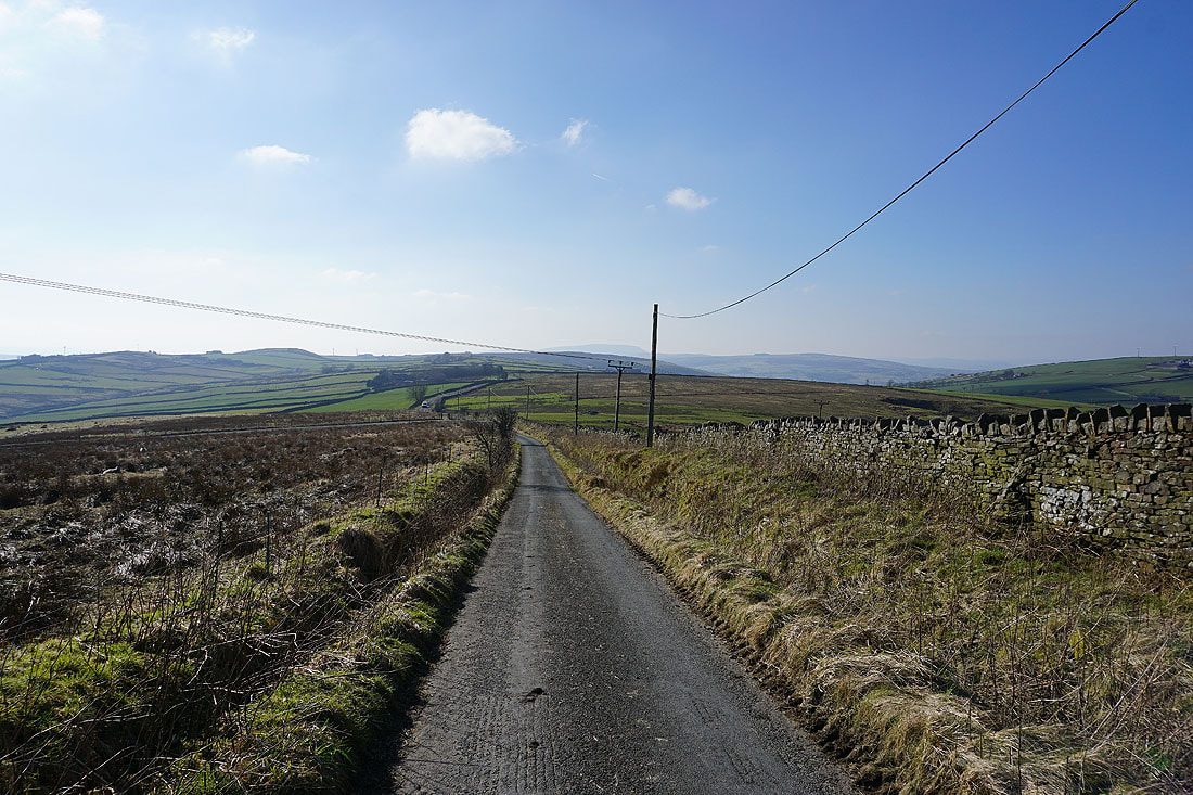
..head north along Skipton Old Road to Kelbrook
I can make out Ingleborough in the distance
Leaving Kelbrook on Heads Lane
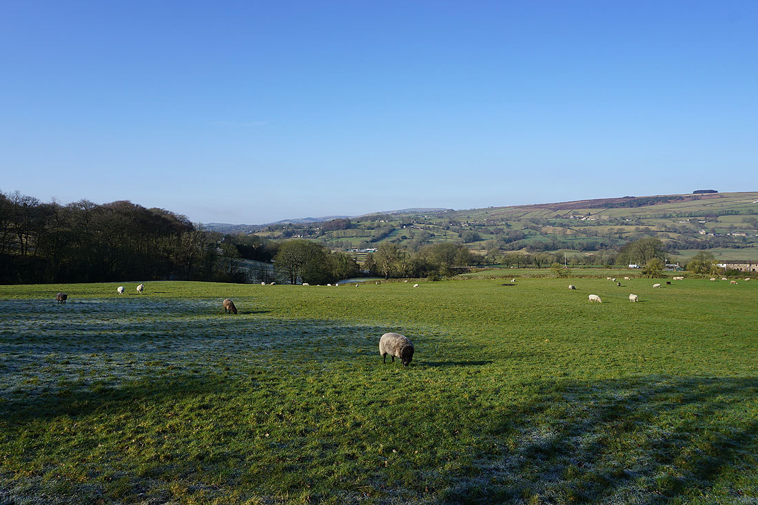
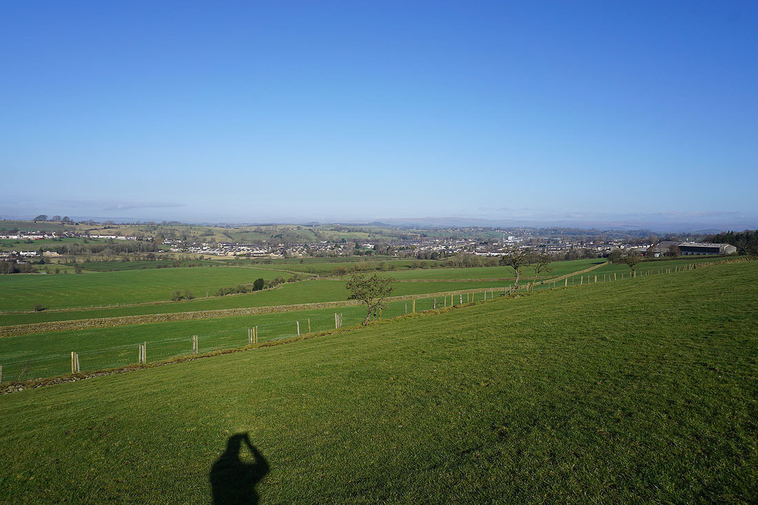
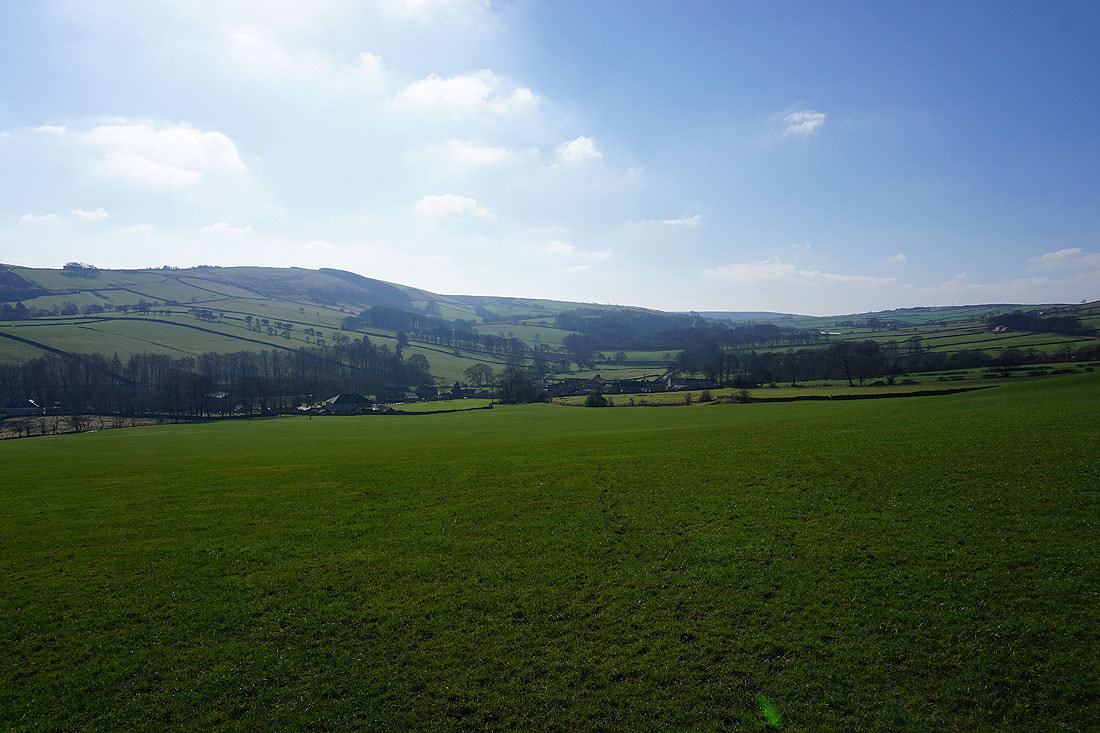
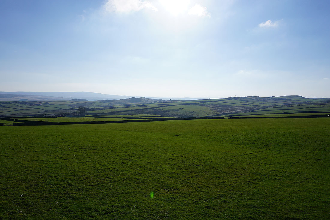
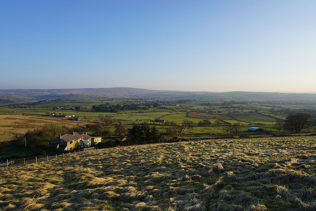
Long distance views north to the Yorkshire Dales from above Kelbrook
Following the Pendle Way north to Earby..
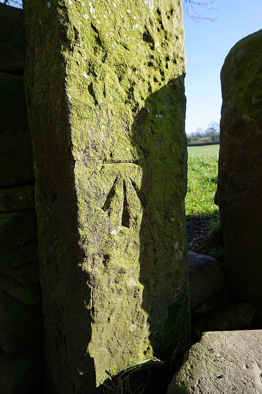
OS benchmark on a post in a wall
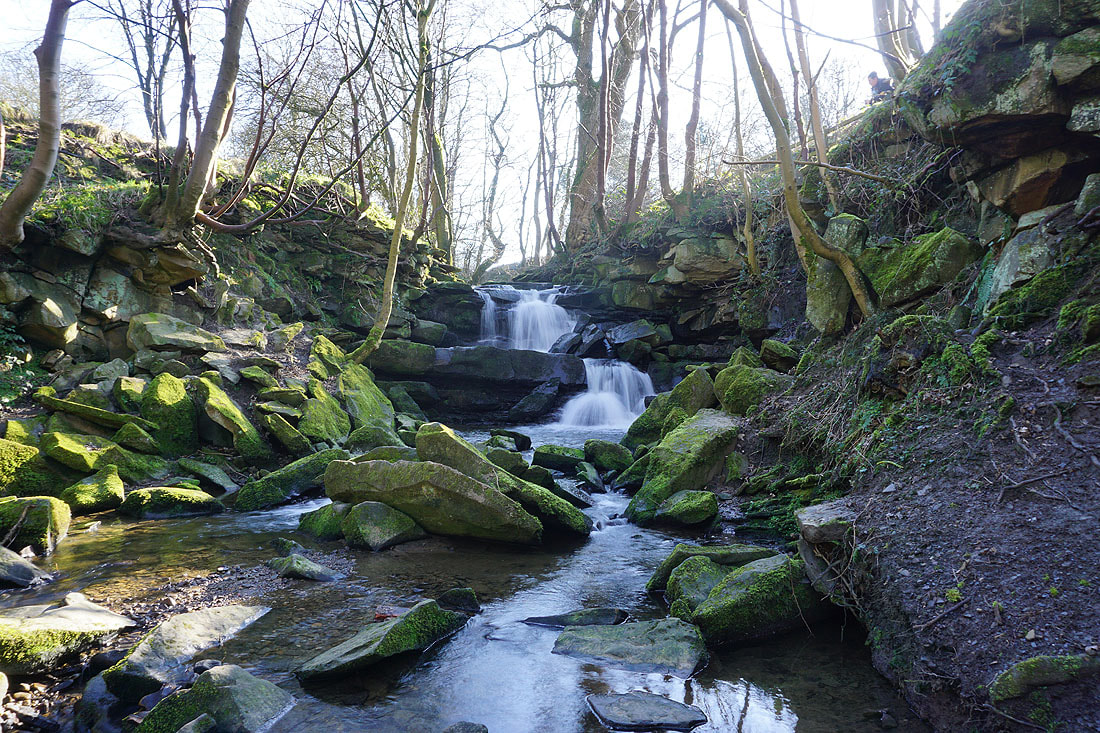
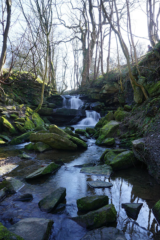
A brief diversion to see the waterfall on Wentcliff Brook..
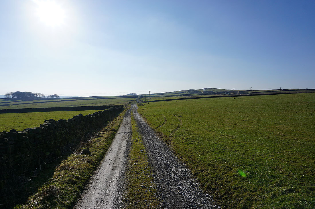
Making my way up Gaylands Lane
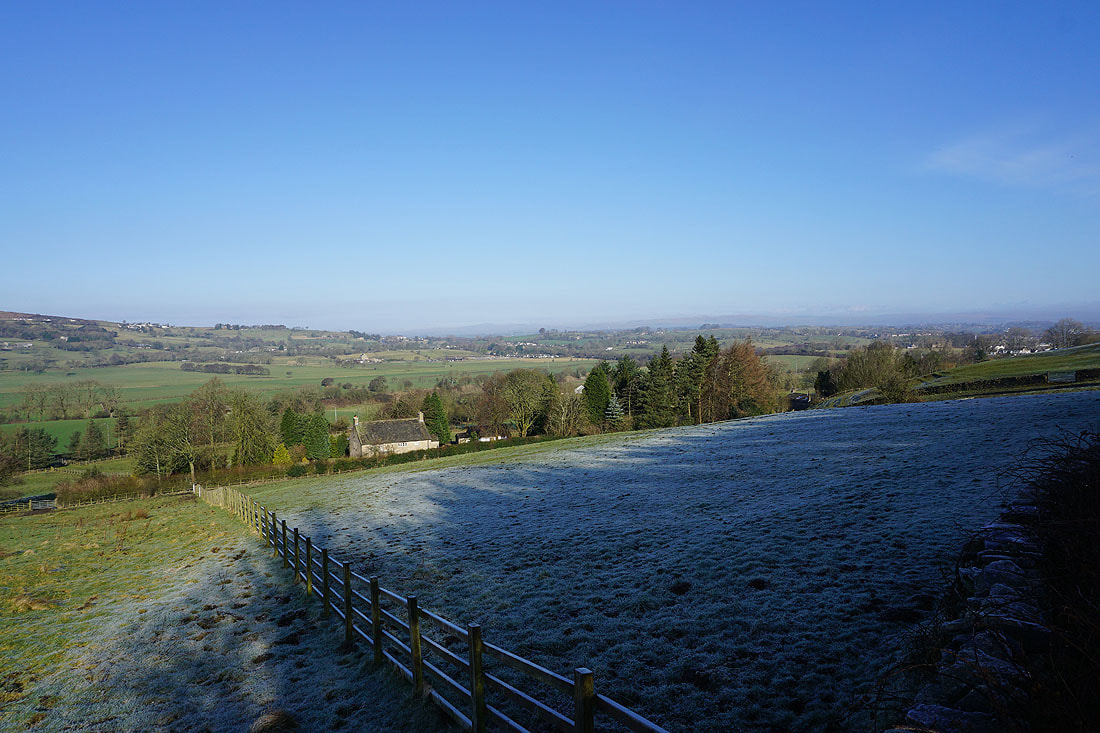
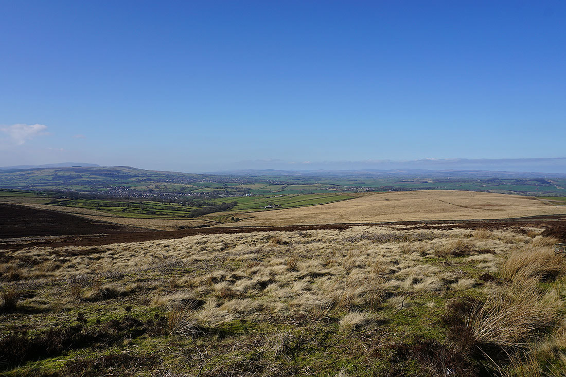
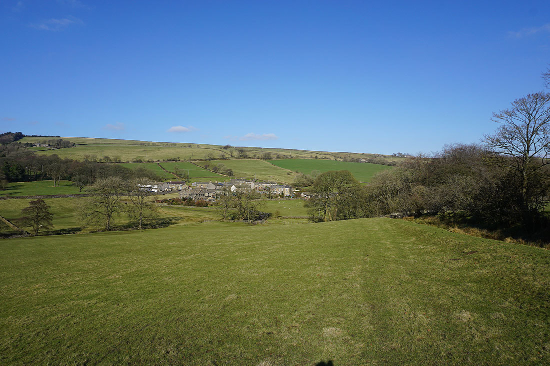
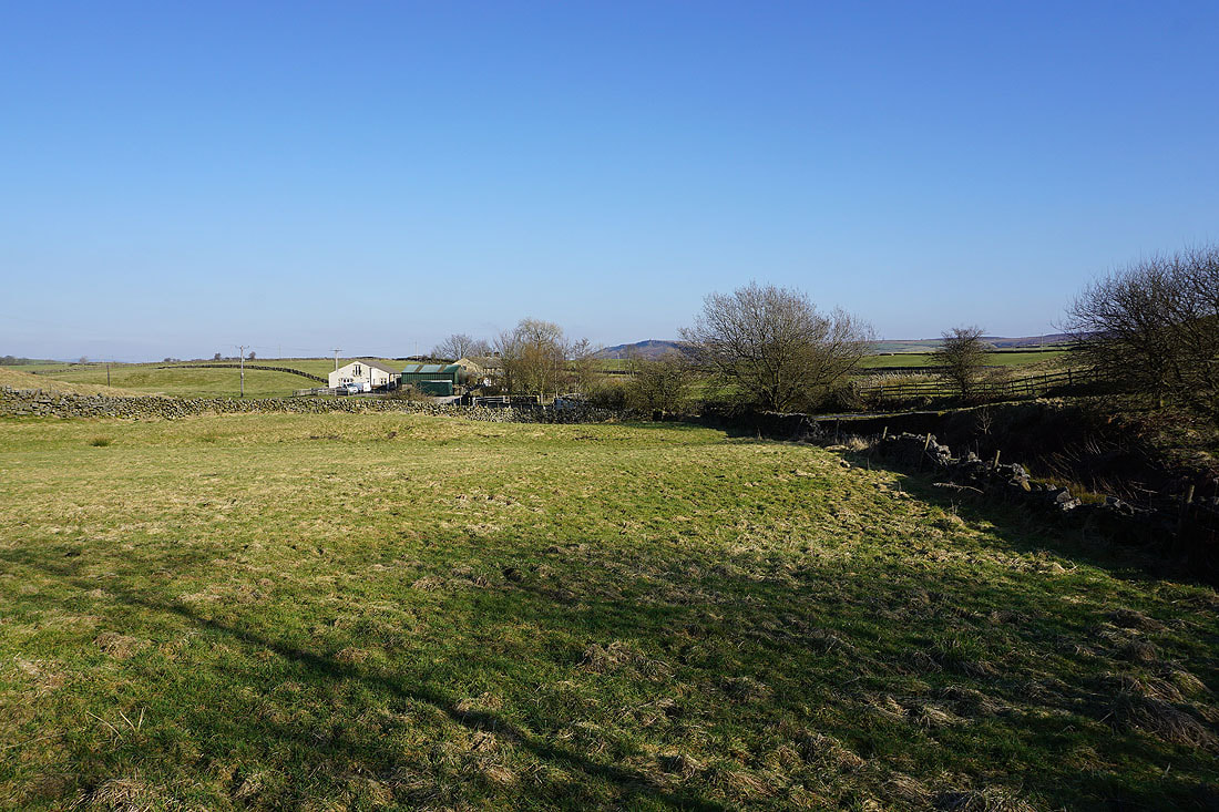
Turning round to see Earby below and Weets Hill in the distance
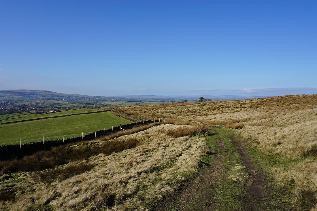
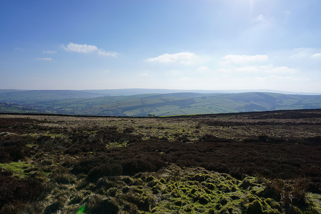
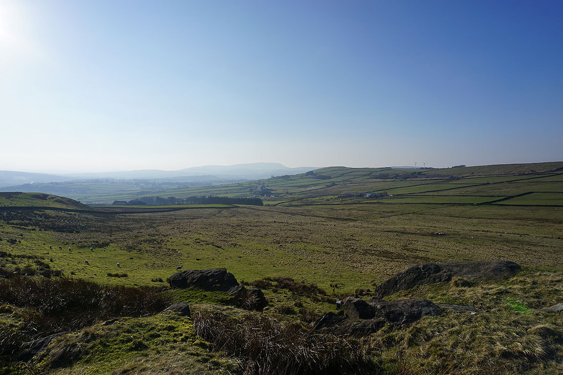
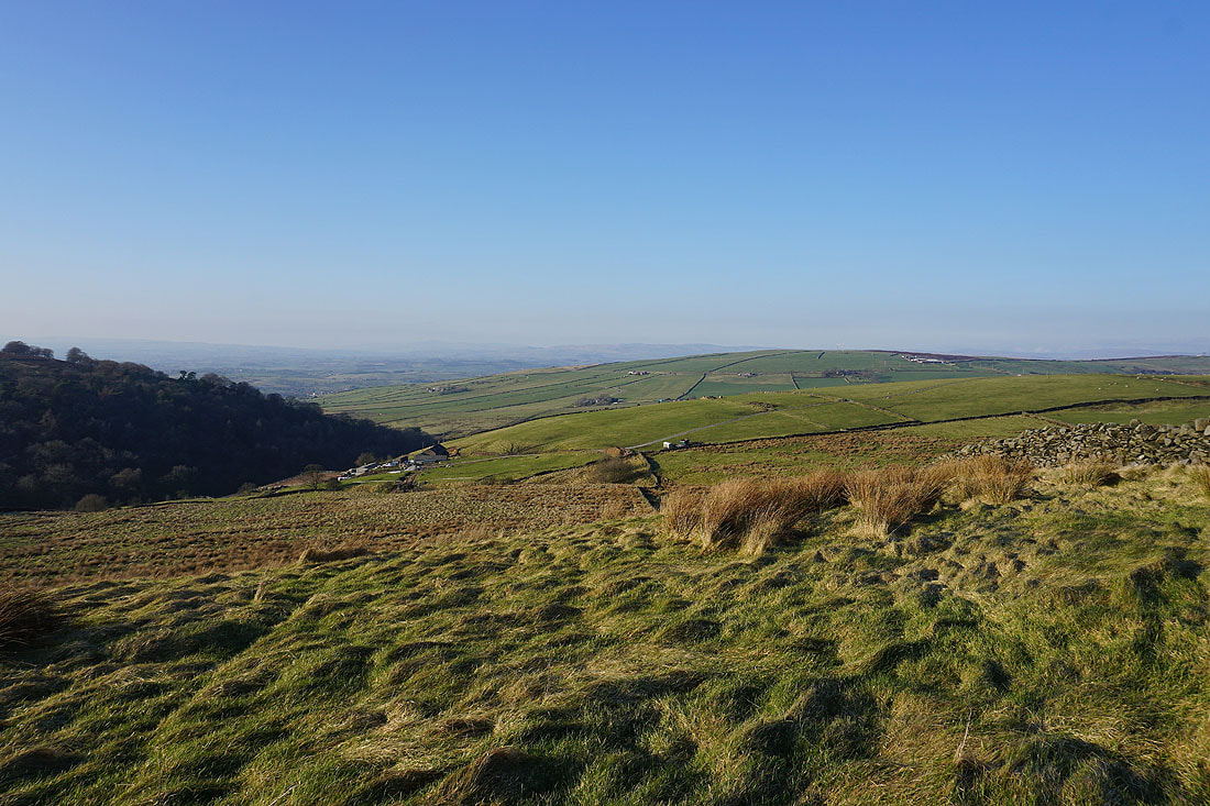
Views across to the Forest of Bowland and the Yorkshire Dales as I cross the moorland of Rectory Allotment..
Elslack Moor and Pinhaw Beacon ahead
Sharp Haw and Barden Moor
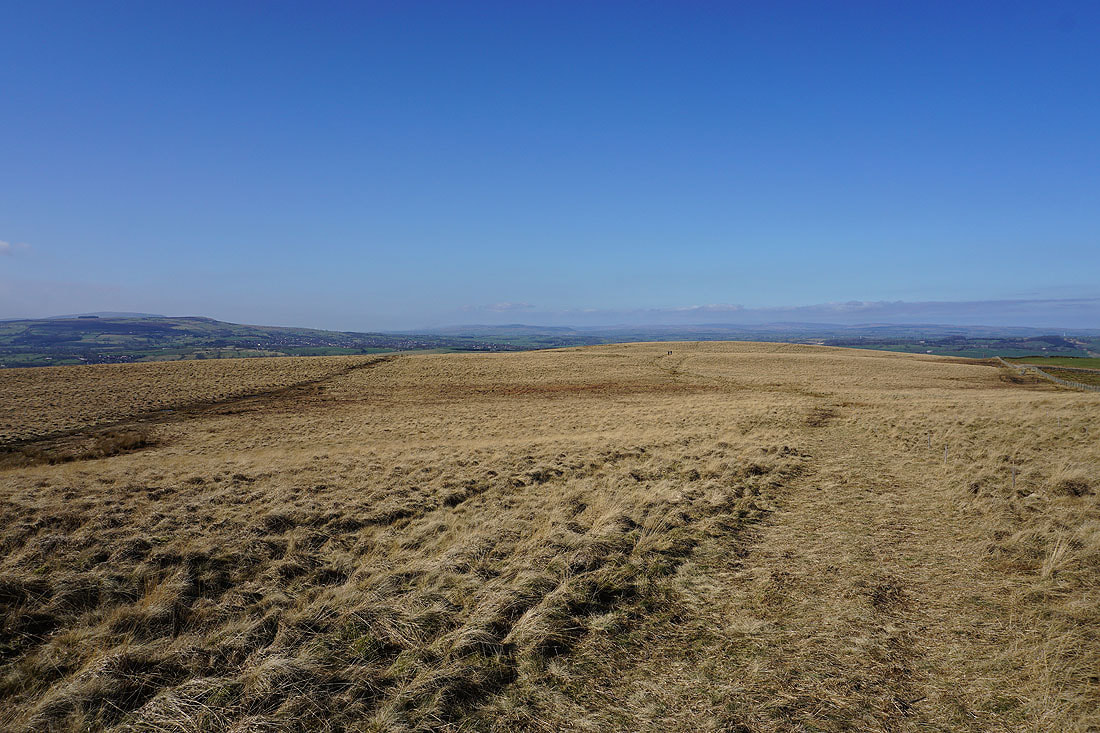
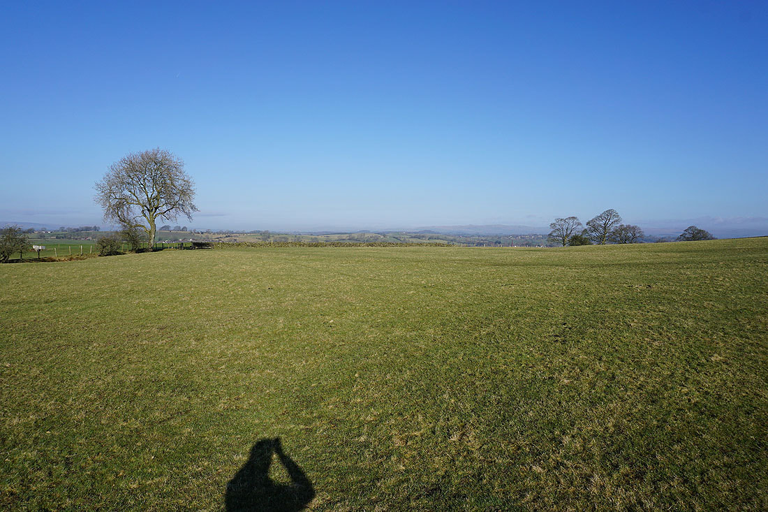
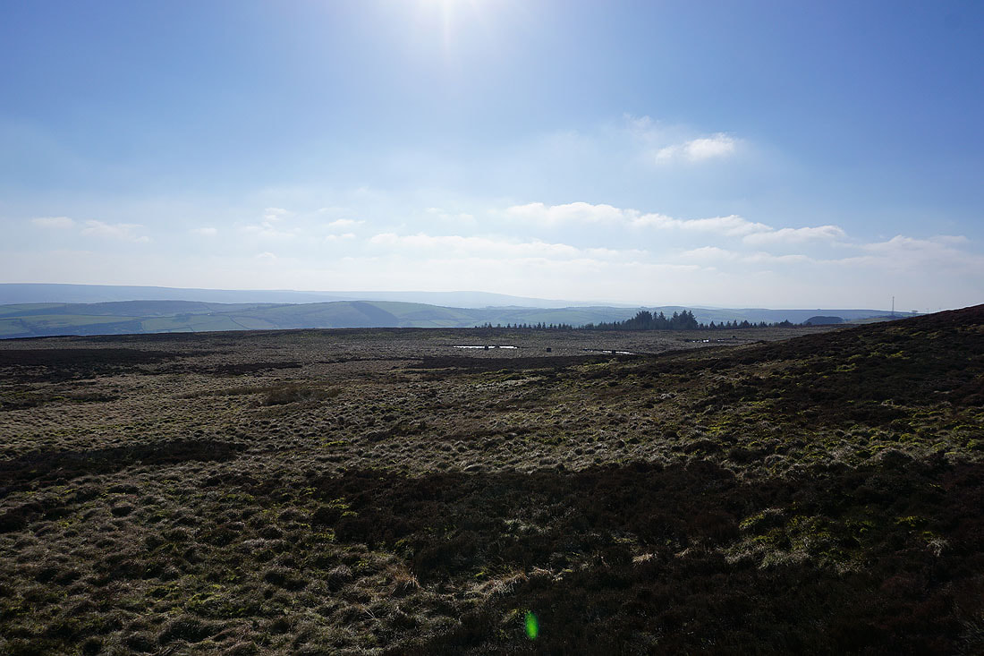
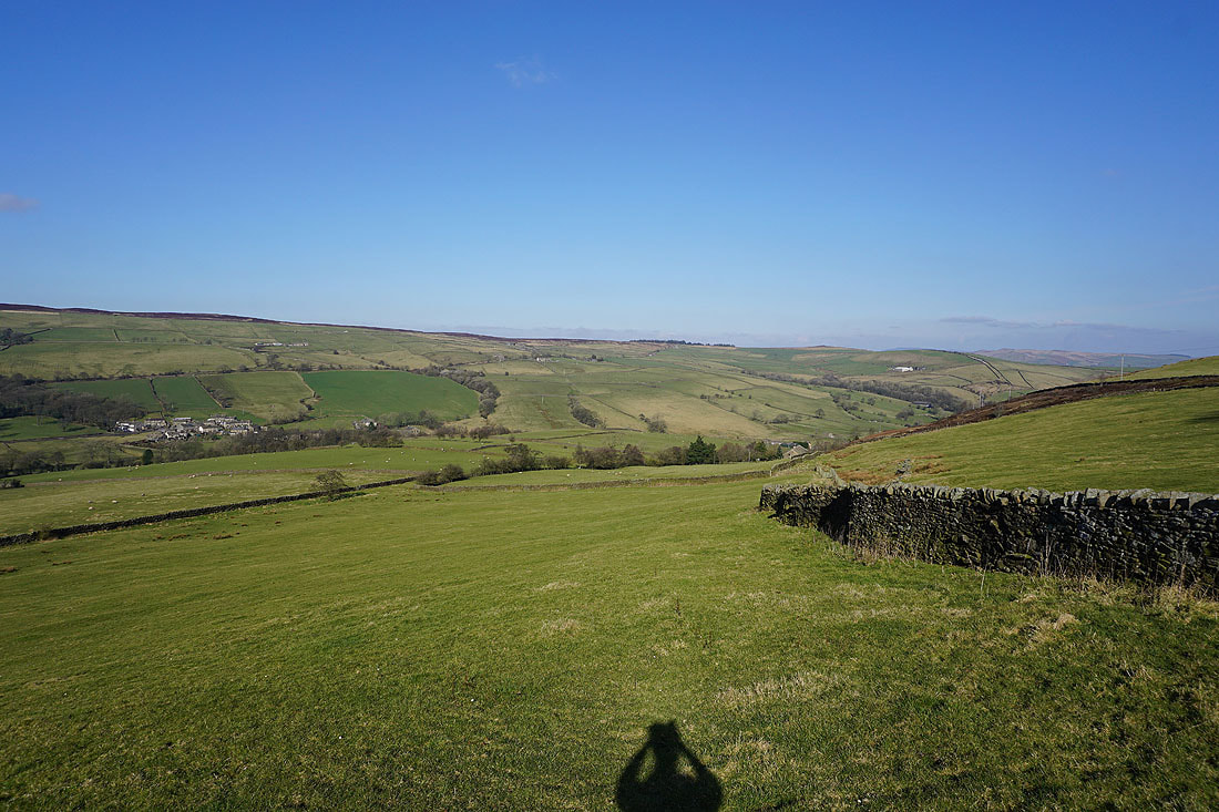
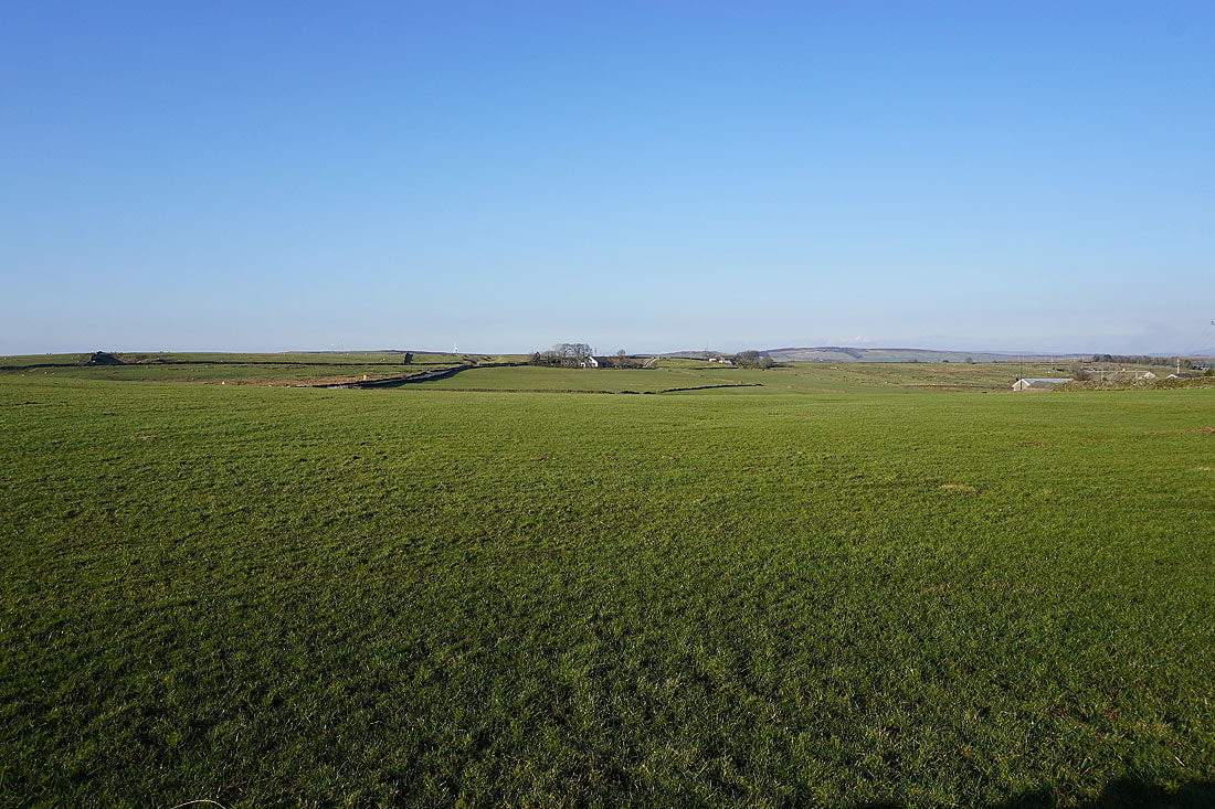
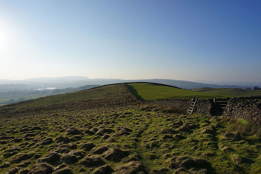
The broad expanse of the moorland of Rectory Allotment
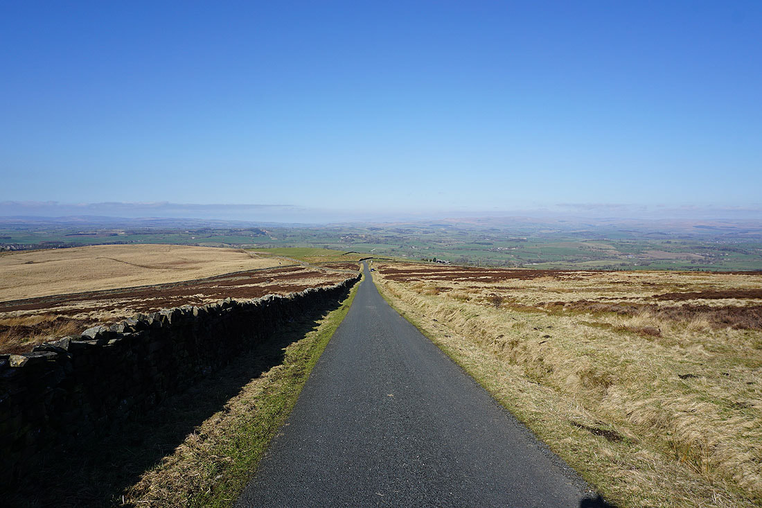
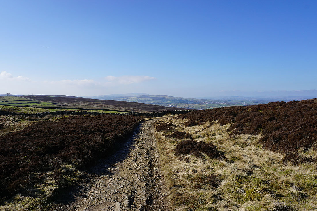
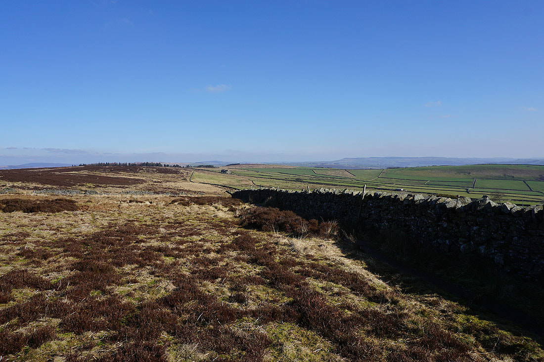
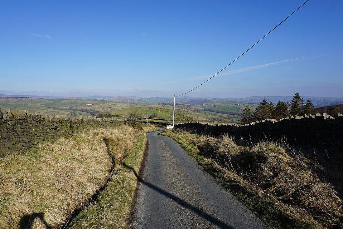
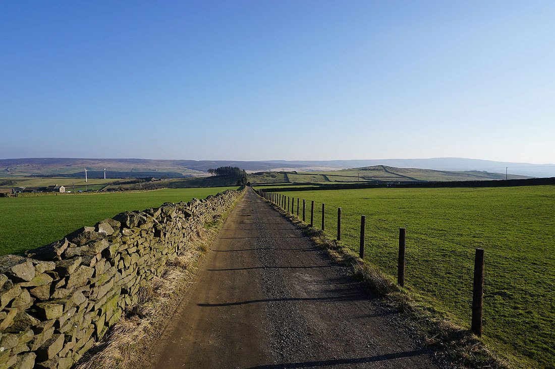
Looking down Clogger Lane as I join the trail of the Pennine Way
Weets Hill, Earby and Rectory Allotment
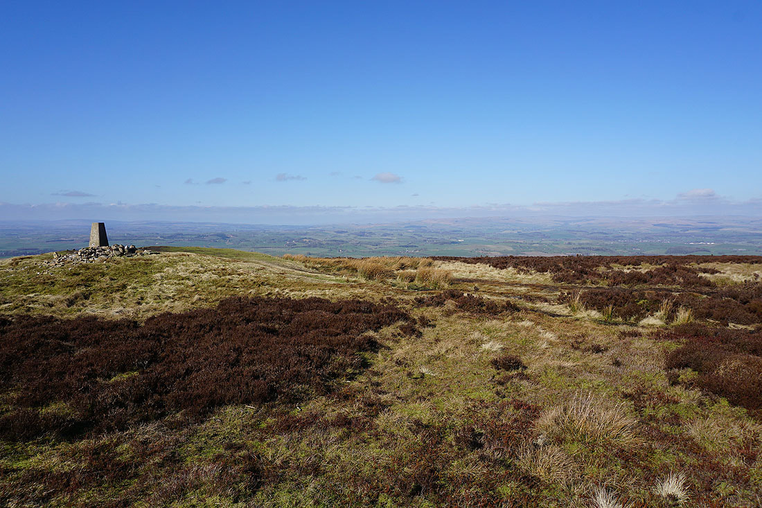
A look back as I follow the Pennine Way up to the summit of Pinhaw Beacon
Pendle Hill and Weets Hill in the distance
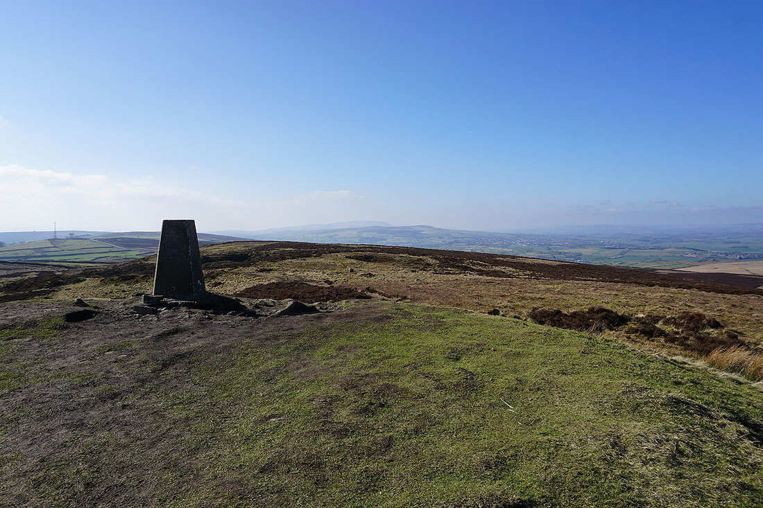
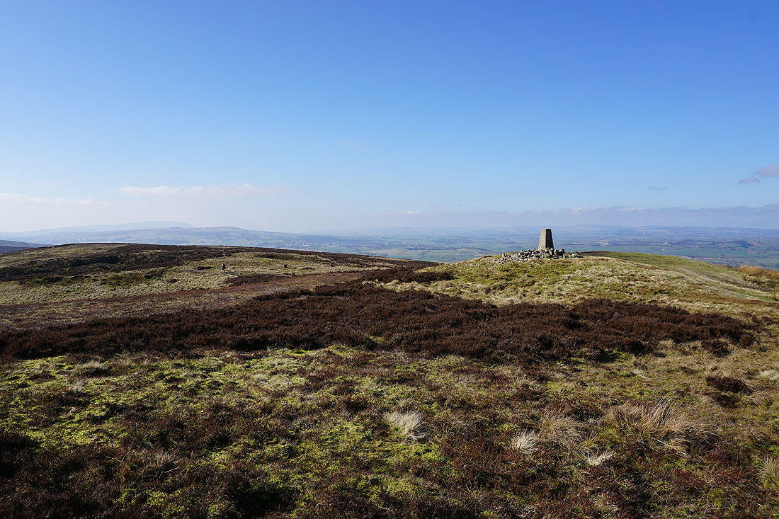
After a break for lunch I'll take in the view before moving on. Pendle Hill and Weets Hill to the southwest.
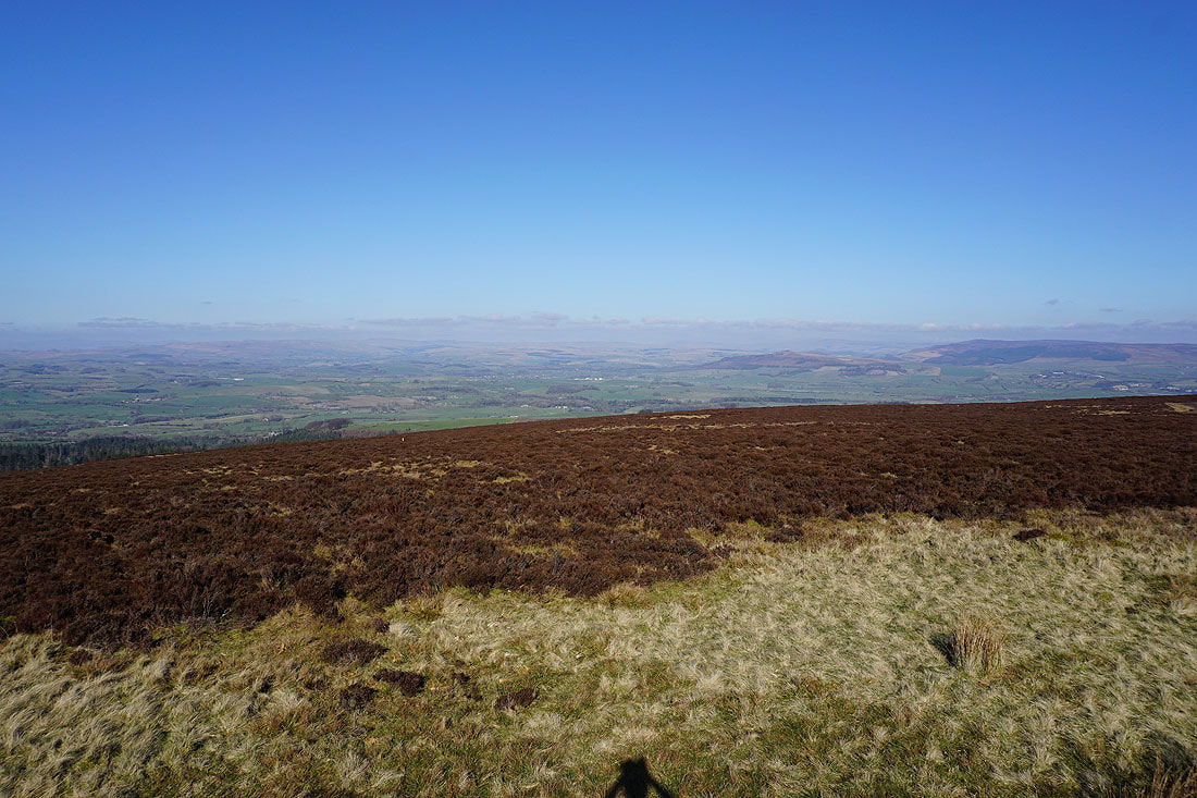
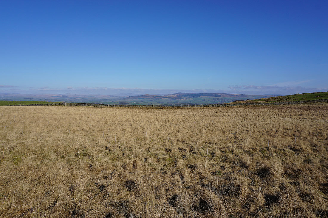
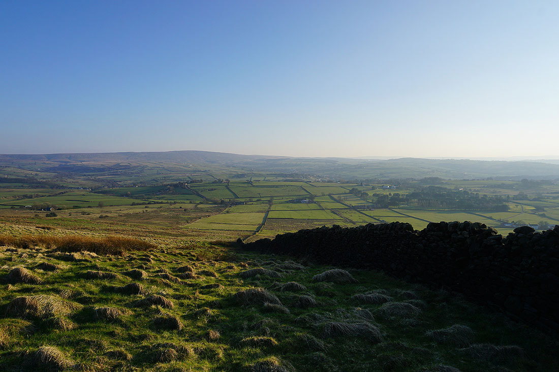
Looking north and northwest to the moorland of the Yorkshire Dales and the Forest of Bowland..
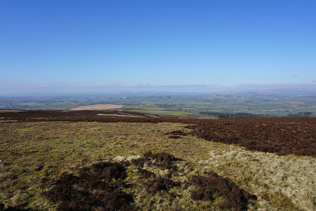
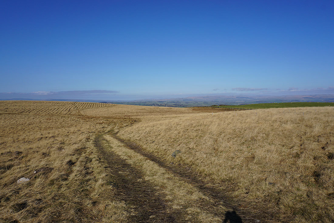
It's a beautiful day for being on the moors with great views in every direction..
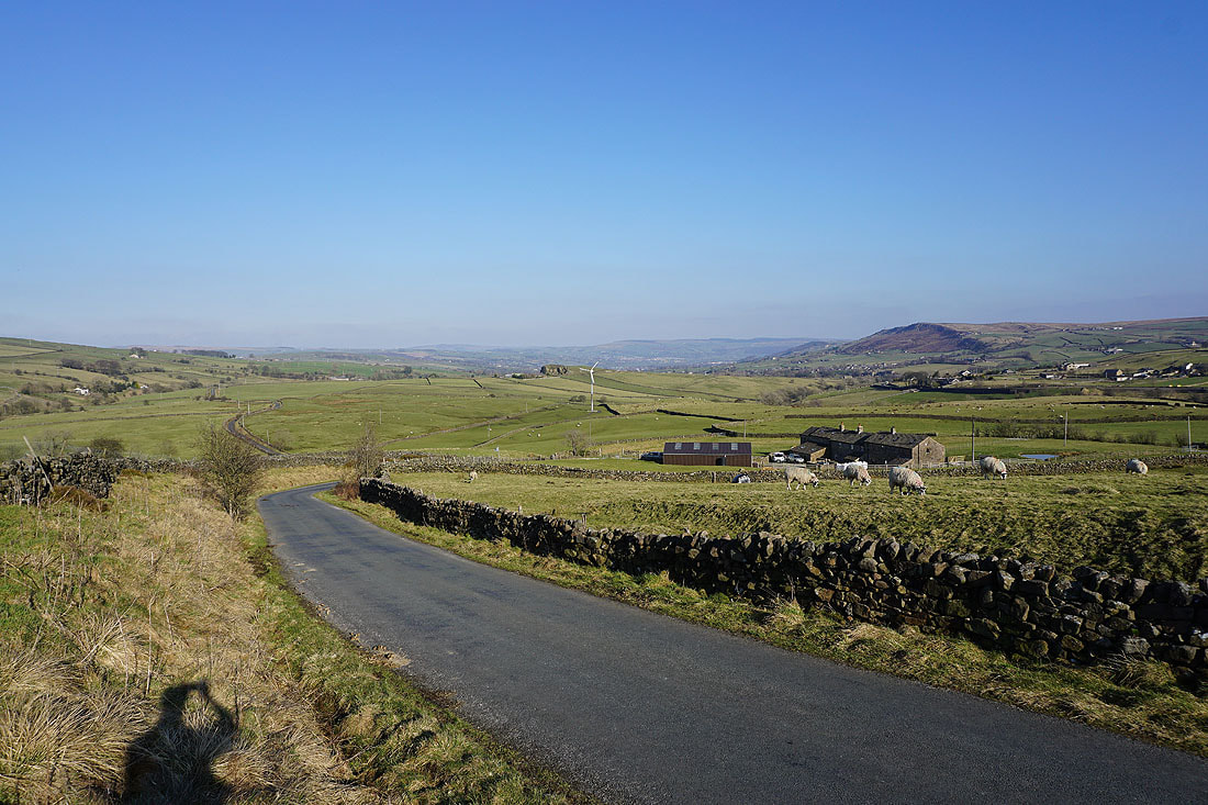
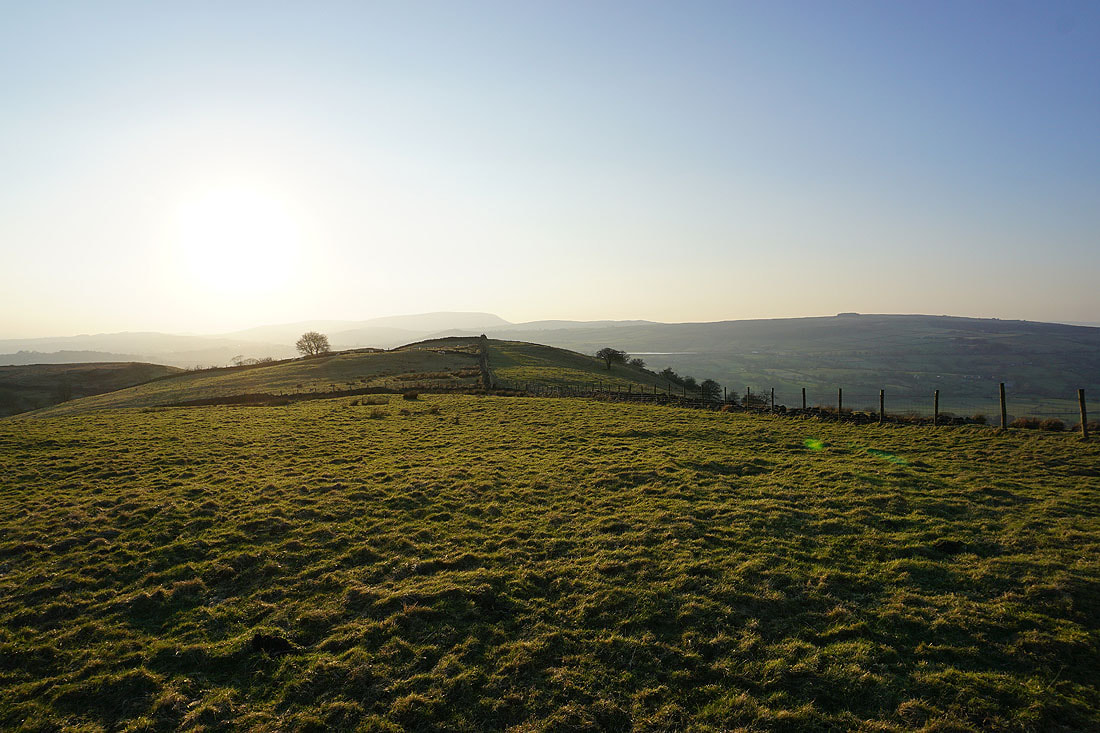
Boulsworth Hill in the distance beyond the moors above the western end of Lothersdale
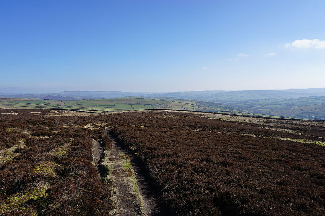
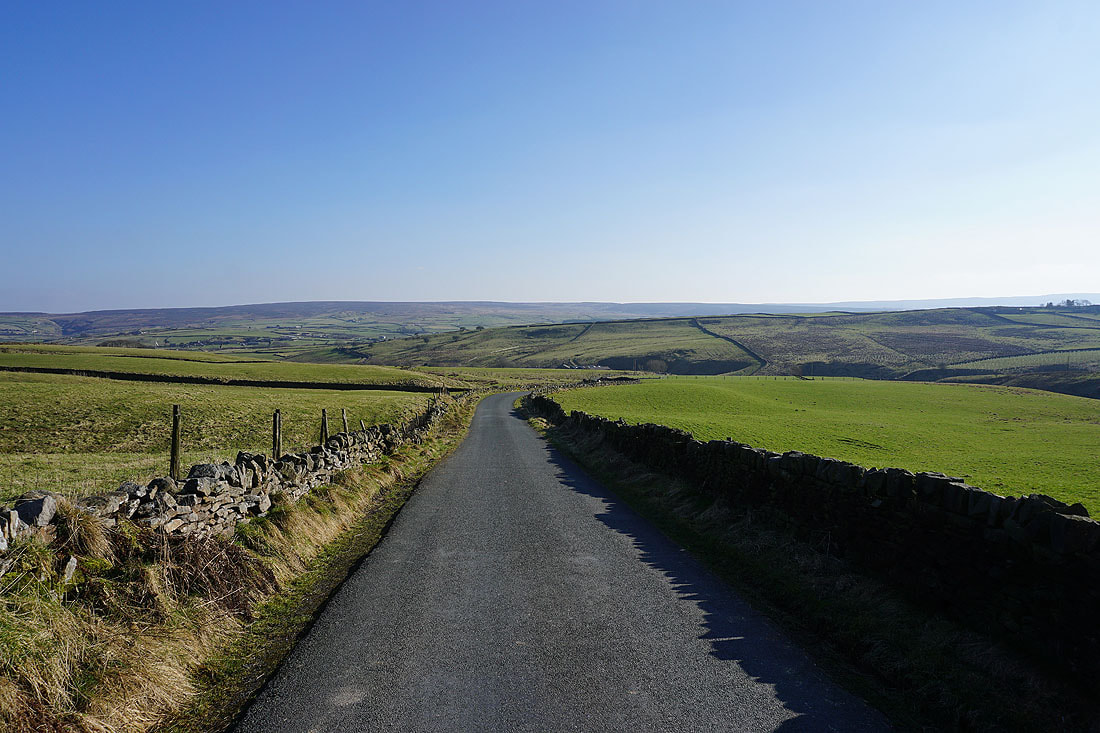
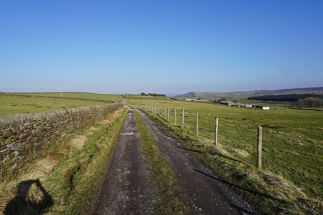
Following the Pennine Way towards Lothersdale with the moors around Airedale in the distance
The moors of Lothersdale to my right
The heathery expanse of Carleton Moor
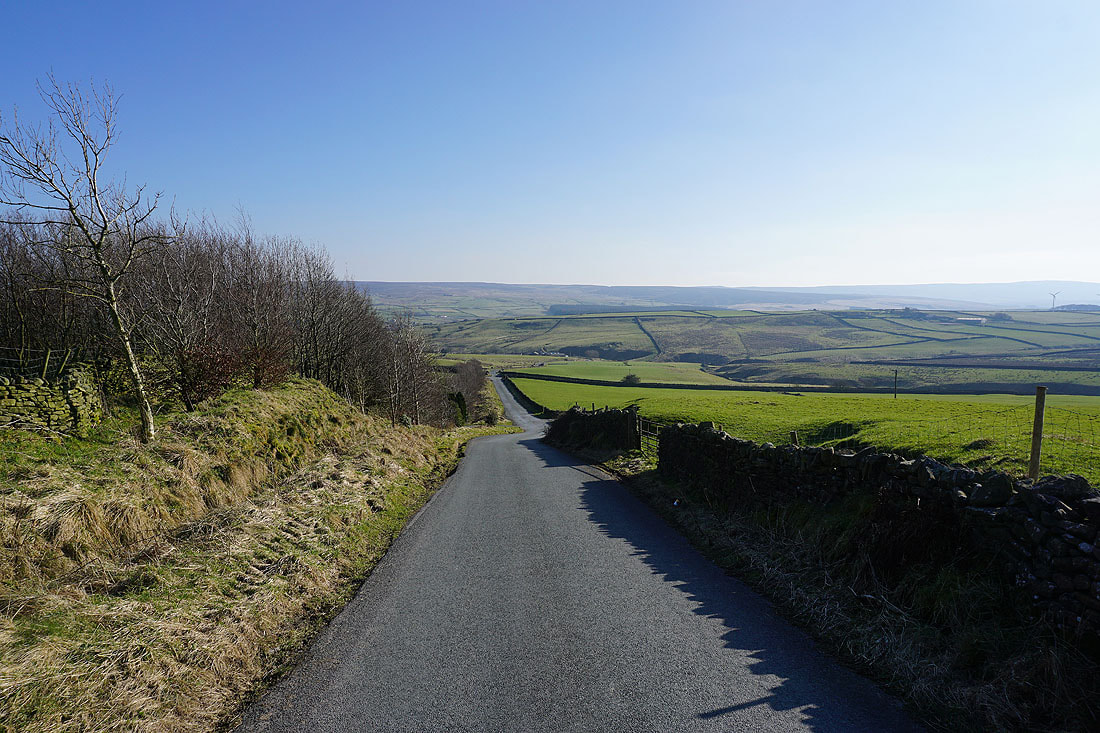
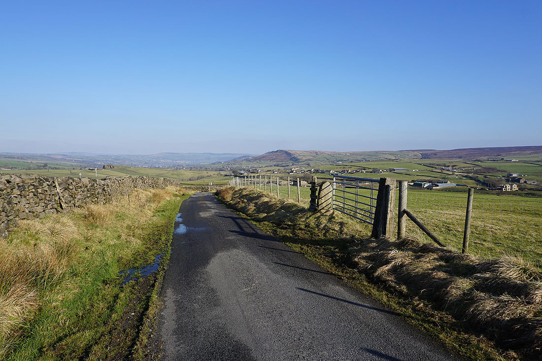
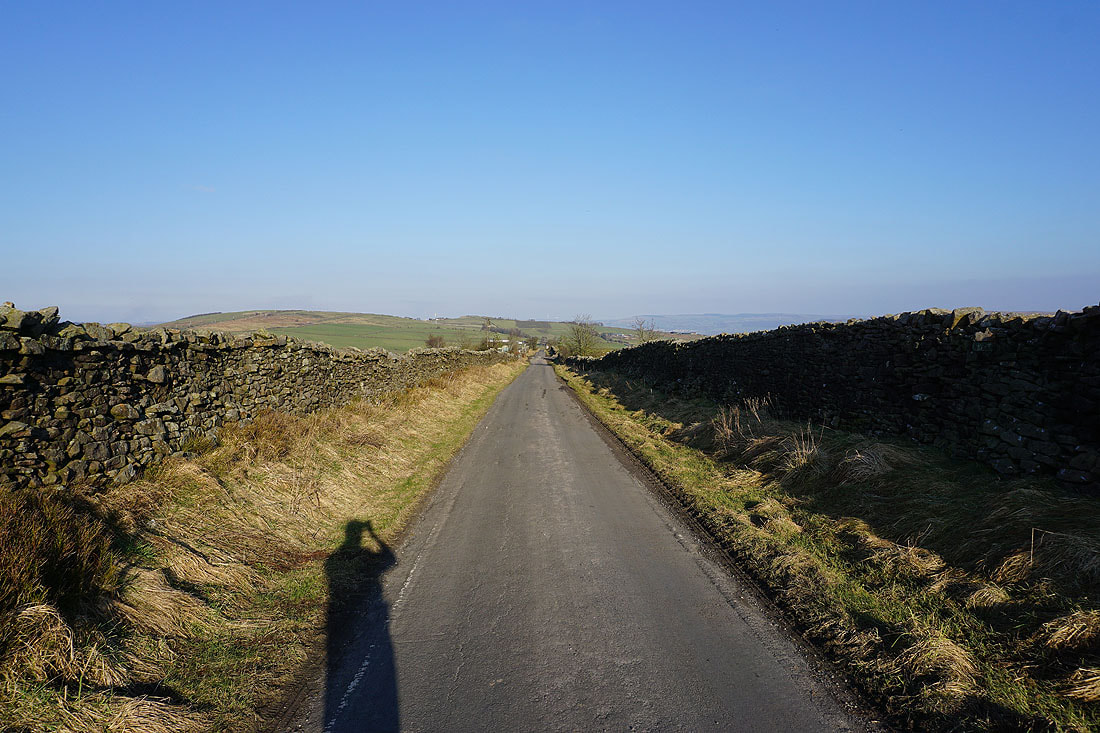
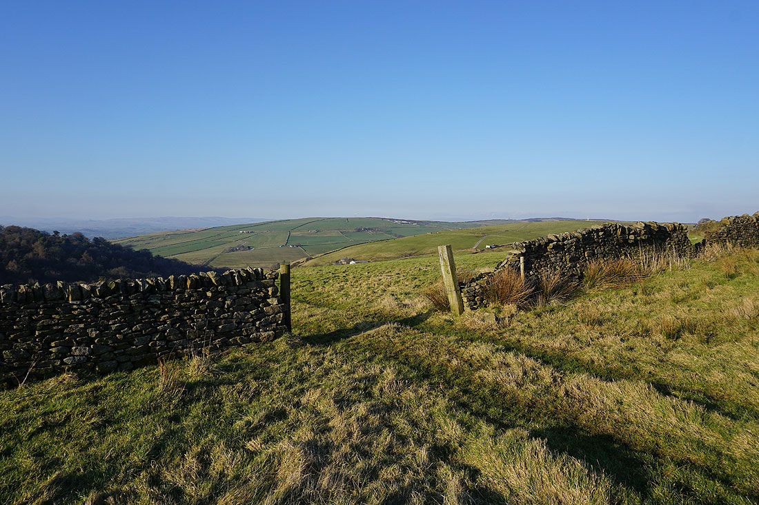
I've left the Pennine Way and make my way west along White Hill Lane
Looking south across Lothersdale to Earl Crag..
..and towards the moorland above the western end of Lothersdale
Heading down to the hamlet of The Fold in Lothersdale
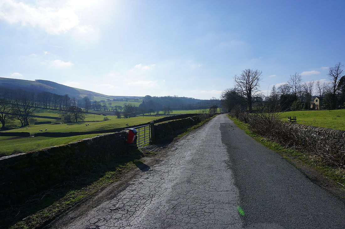
Briefly on the track to Raygill Fisheries
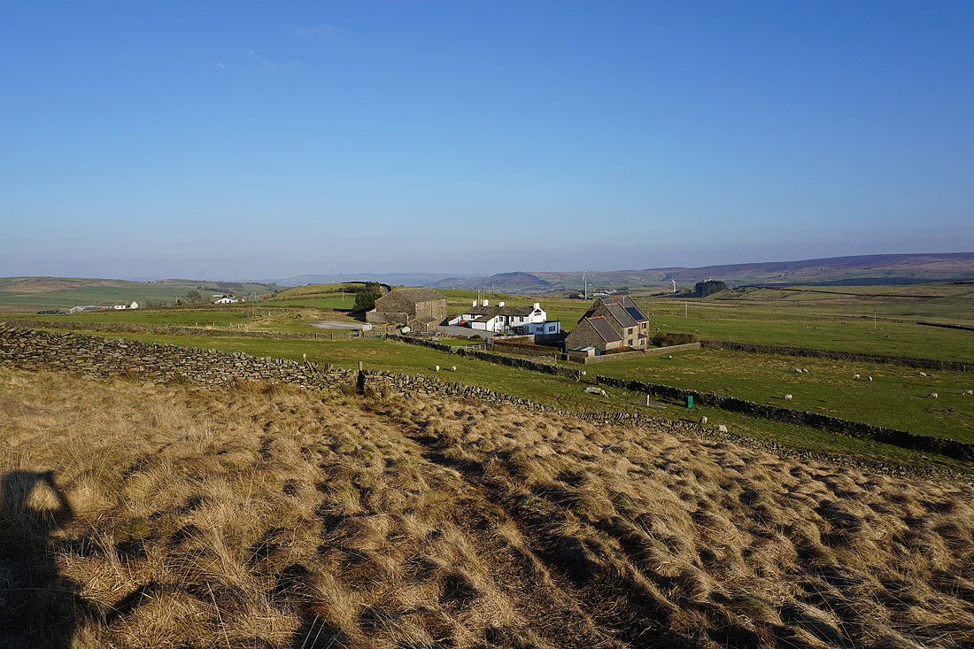
The Fold
Retrospective views of Lothersdale as I follow the path up to Hawshaw Road..
Looking east along Hawshaw Road towards the moorland around Airedale
The steep sided hill of Sweet Brow with Earl Crag behind on the right
Heading west along Hawshaw Road and I can make out Pendle Hill in the distance
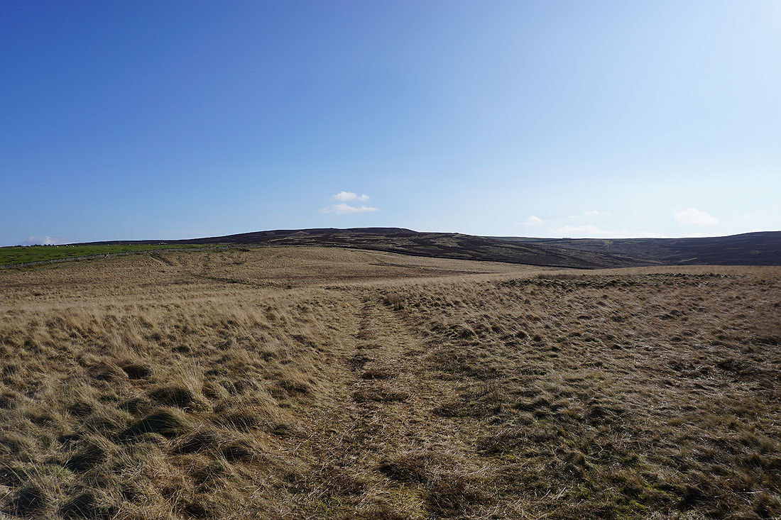
Boulsworth Hill, Knarrs Hill and Piked Edge
Making my way down Tom Lane..
..and Stone Head Lane, with Ickornshaw Moor in the distance to the south
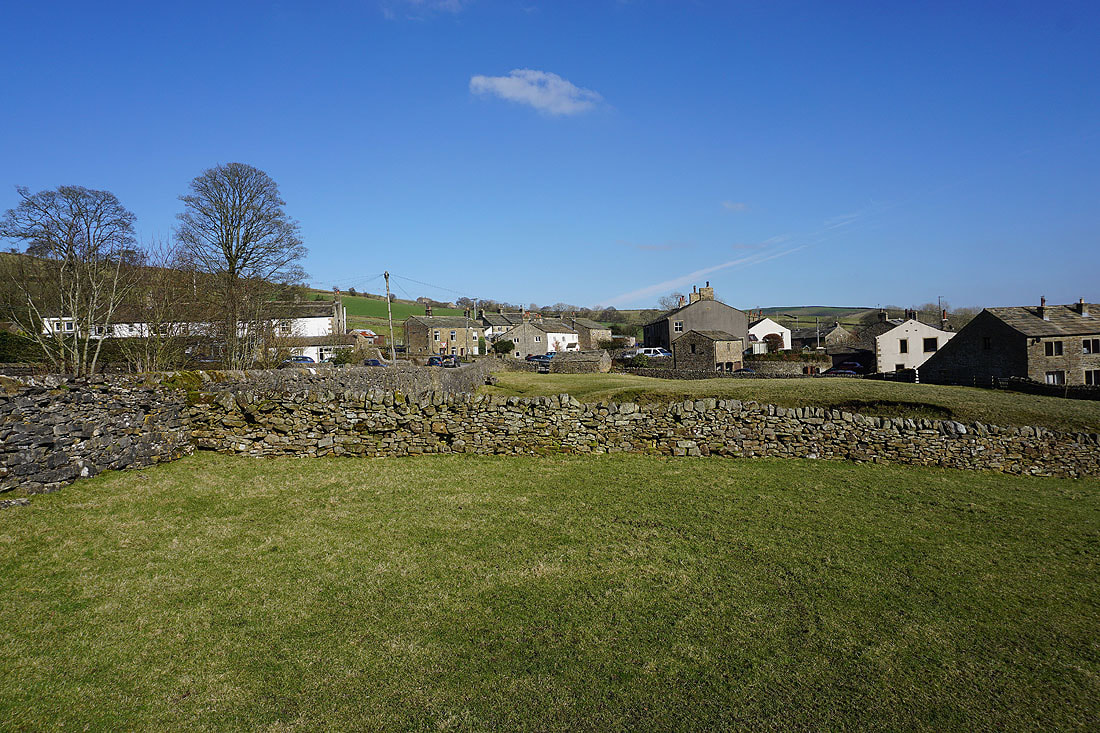
Making my way through the hamlet of Stone Head..
Earl Crag and the moorland around Airedale from Hill End Lane..
..and from Sandyforth Lane
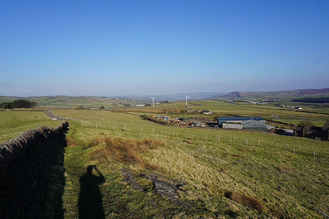
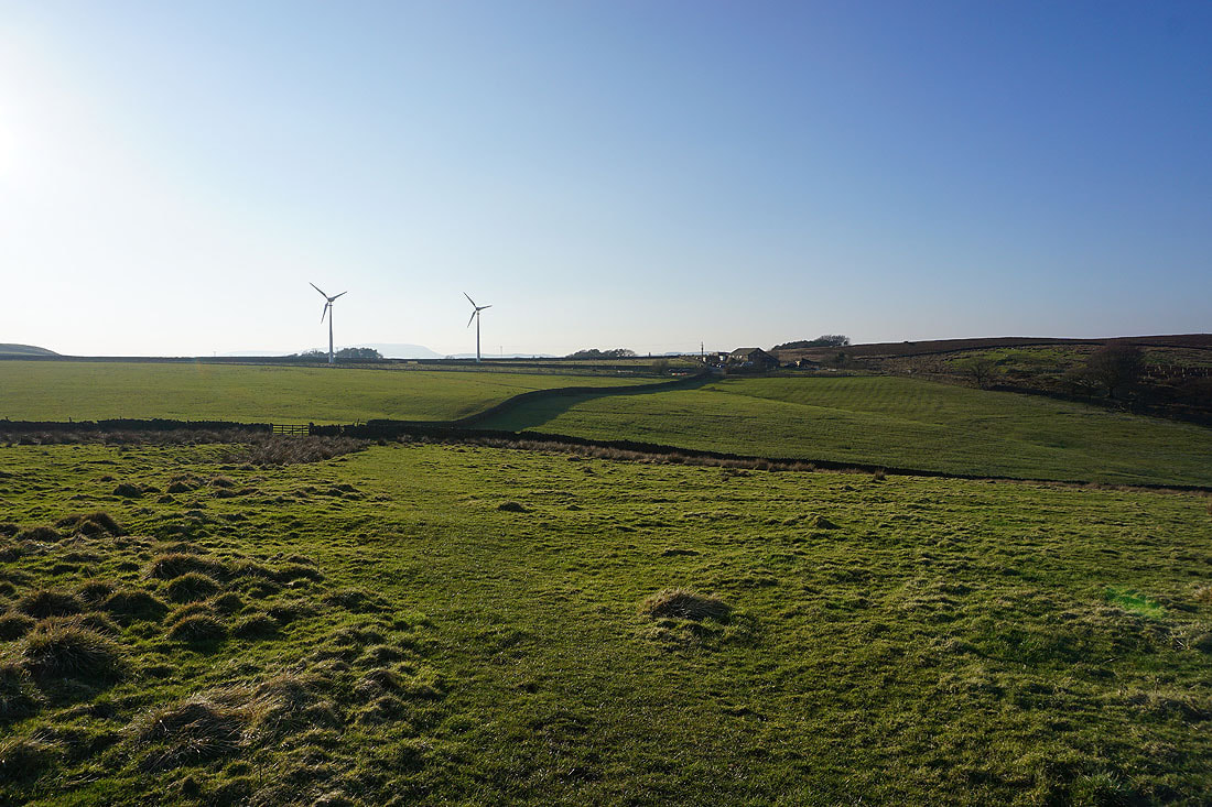
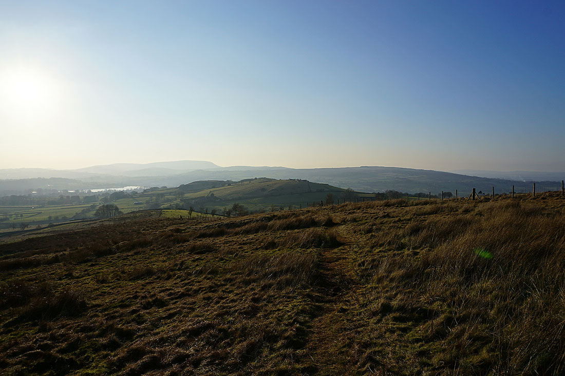
Knarrs Hill in the distance as I head west along Sandyforth Lane
and from the end of Sandyforth Lane onto the track to Sedgemoor House
Looking back along the track with Earl Crag in the distance on the right
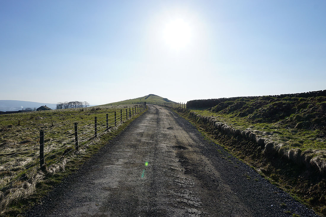
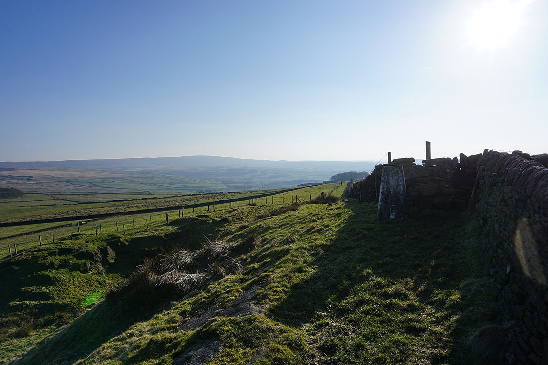
On the Pennine Bridleway to Knarrs Hill
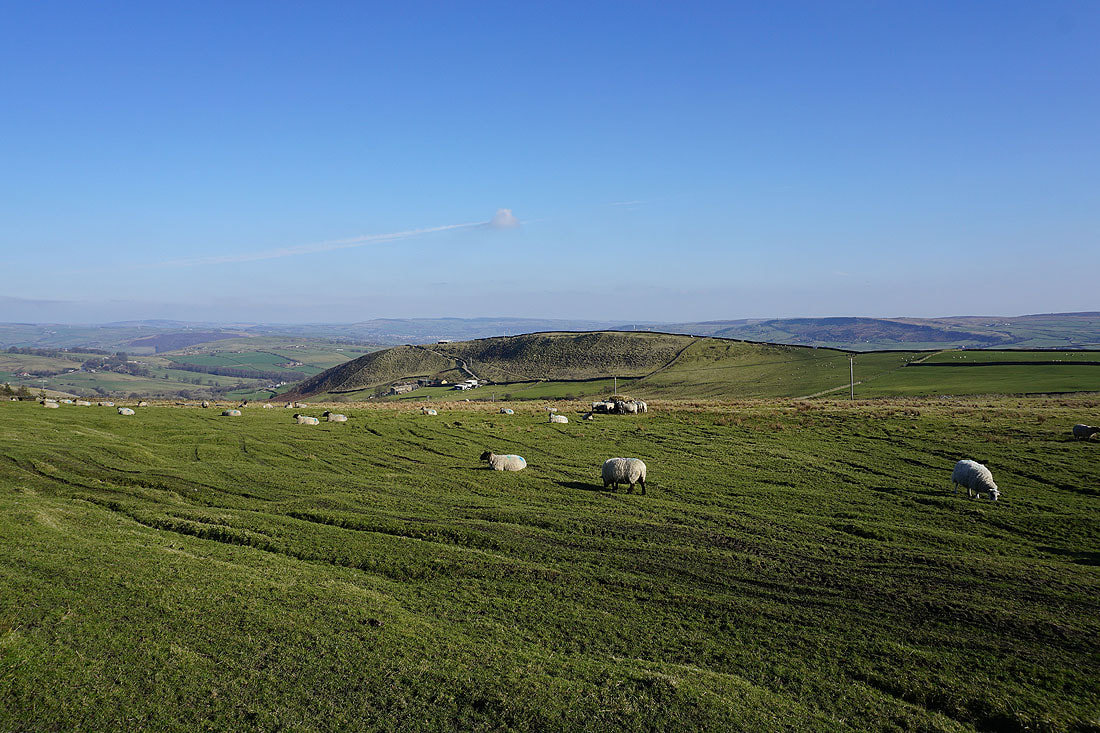
On the summit of Knarrs Hill with Pendle Hill in the distance
Earl Crag and the moorland around Airedale to the east
The trig point on Knarrs Hill with Boulsworth Hill in the distance
Ickornshaw Moor to the south behind Knarrs Hill Farm
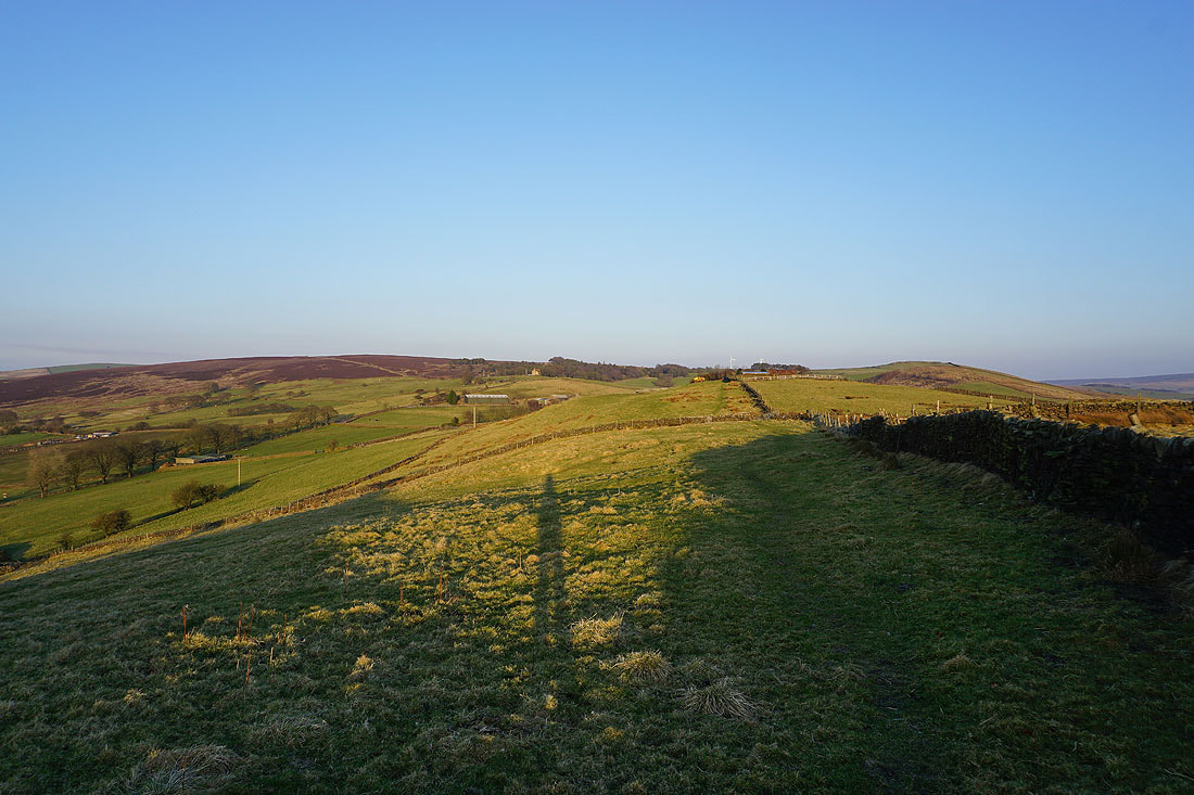
Looking back to Knarrs Hill as I follow the Pennine Bridleway to Warley Wise Lane
Looking east along Warley Wise Lane with Hawshaw Hill on the left
Looking north to Burnt Hill and Pinhaw Beacon
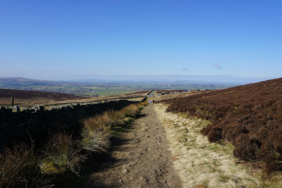
Black Lane Ends as I head up onto Piked Edge
There's a great view looking north past Bleara Moor to the distant Yorkshire Dales..
Following the path to Harwes Farm
Heading for Great Edge
Pendle Hill from the shadows
Pendle Hill and White Moor from Great Edge
Boulsworth Hill and the Forest of Trawden
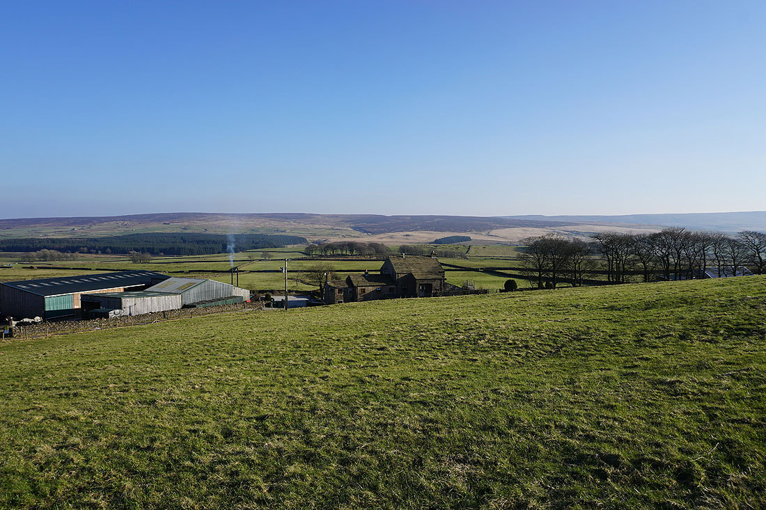
Heading down Great Edge with Noyna Hill ahead
Boulsworth Hill and the Forest of Trawden as I make my way up onto Noyna Hill from Noyna End Farm
Looking across the top of Noyna Hill to Pendle Hill
Kelbrook Moor and Great Edge to the east
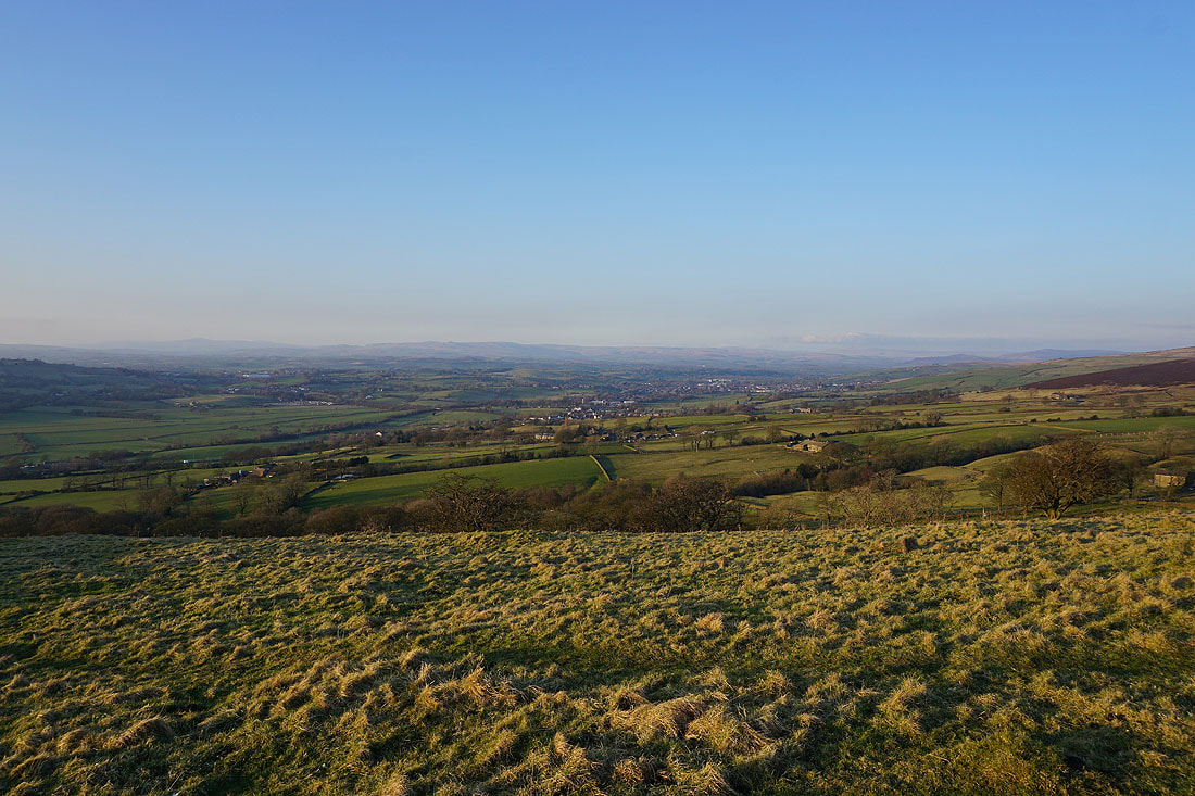
Looking north to Ingleborough and the moors above Settle and Malham in the Yorkshire Dales
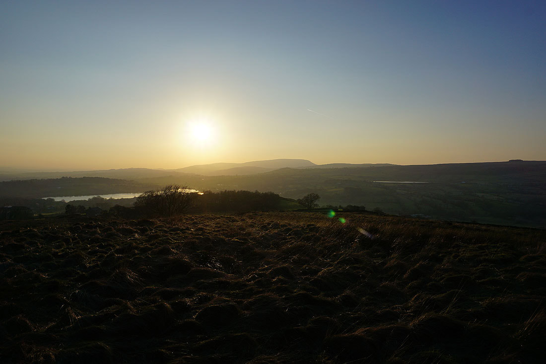
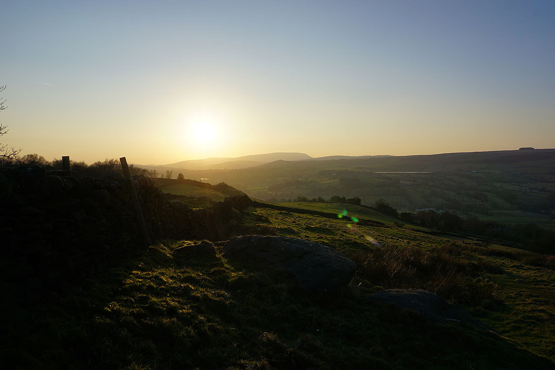
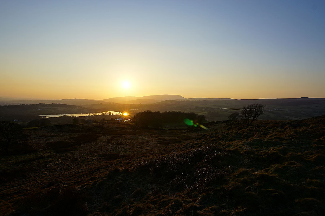
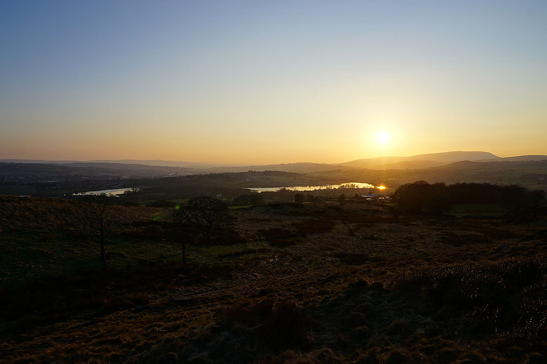
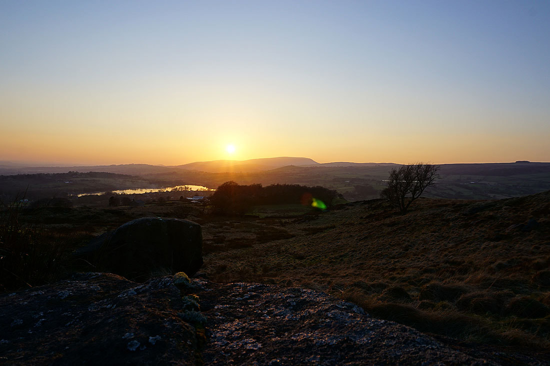
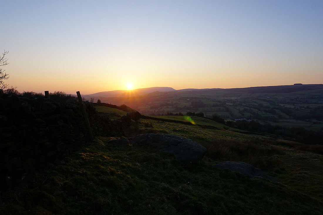
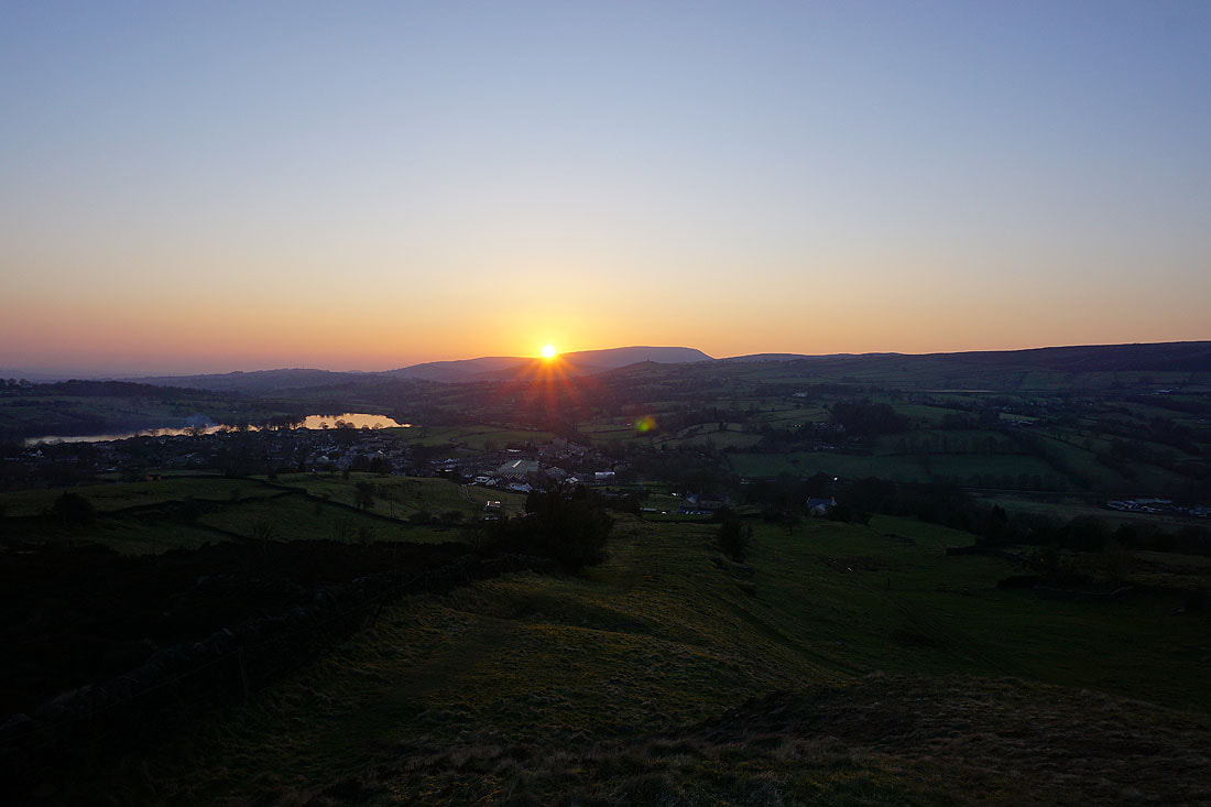
Watching the sun set to the west behind Pendle Hill from Noyna Hill.......