28th January 2018 - A short walk above Todmorden
Walk Details
Distance walked: 2.6 miles
Total ascent: 535 ft
OS map used: OL21 - South Pennines
Time taken: 1 hr
Route description: Lobb Mill picnic site, A646-Rodwell End-Matthew Lane-Lower Ashes Farm-Higher Ashes Farm-Cross Stone-Rodwell End-Lobb Mill picnic site, A646
An ill fated attempt to do a walk up to Bride Stones Moor. After not being able to get out somewhere last weekend because of bad weather I didn't want to go through another one without doing so. The forecast wasn't great but it didn't look too bad when I set off for Todmorden. The strength of the wind and then a thick heavy drizzle when I got up to Higher Ashes Farm made me think about whether it was a good idea to carry on. The wind would only have gotten stronger the higher up I went. I decided that Brides Stones Moor was best left for another day.
From the picnic site on the A646 I climbed the path up to Rodwell End, then followed the bridleway to Matthew Lane and the lane towards Cross Stones. I turned left and briefly followed the lane to reach the bridleway up to Lower Ashes Farm and Higher Ashes Farm. Here I decided to turn back. I turned left and took the bridleway to the lane past Todmorden golf club to Cross Stone. I turned left and followed the lane east across the hillside to reach the bridleway back to Rodwell End and the path down to the car park.
Route map
© Crown copyright. All rights reserved. License number PU 100034184.
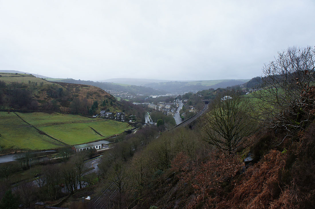
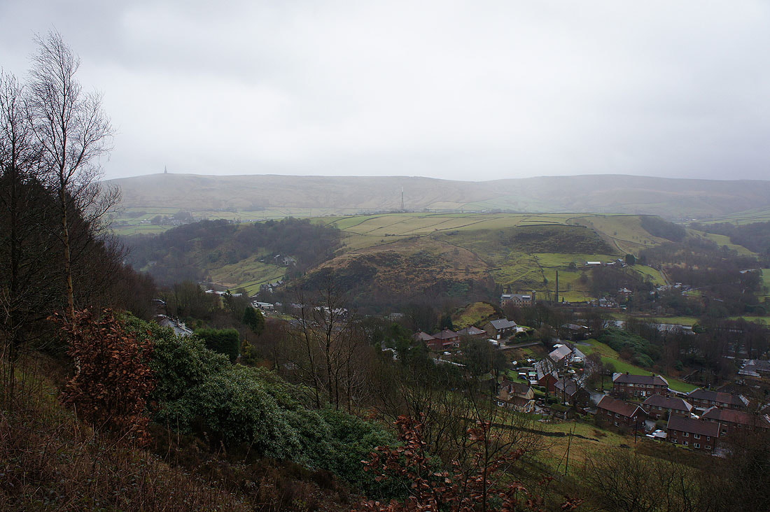
A grey and murky Calderdale from the path up to Rodwell End
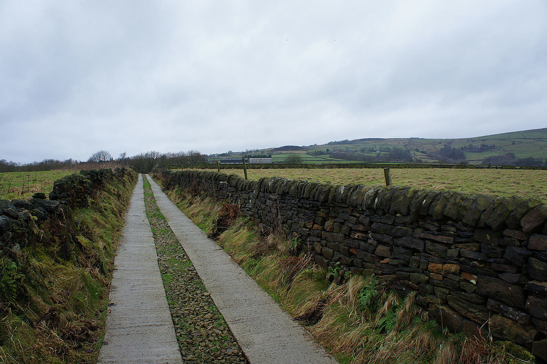
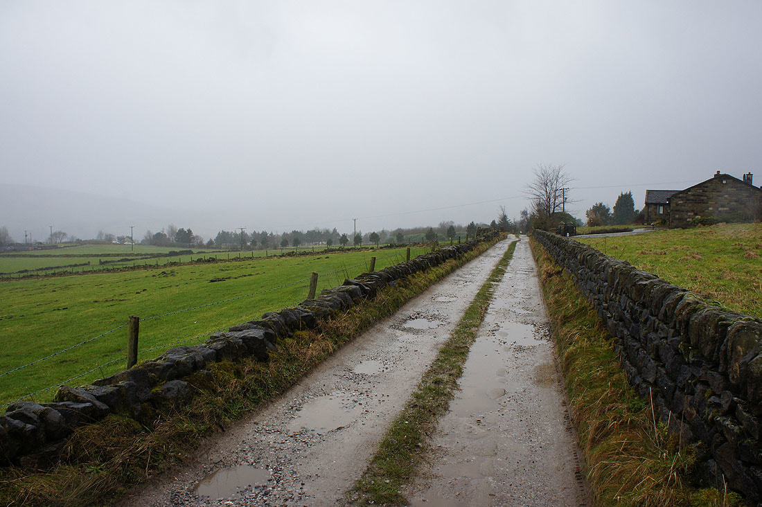
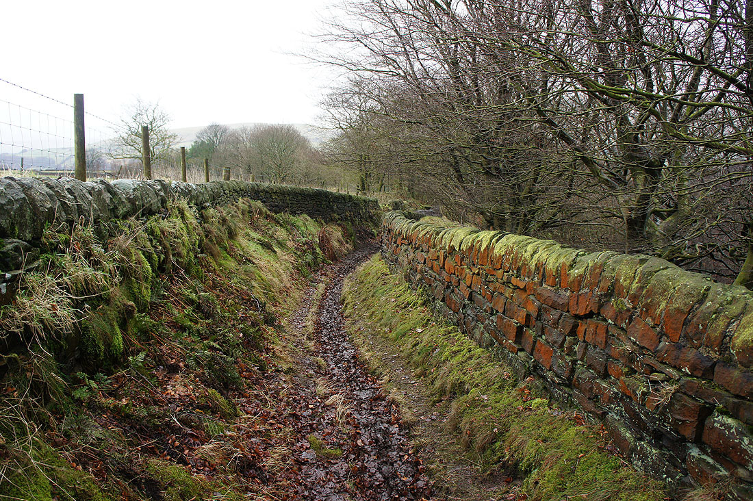
On the bridleway from Rodwell End to Matthew Lane
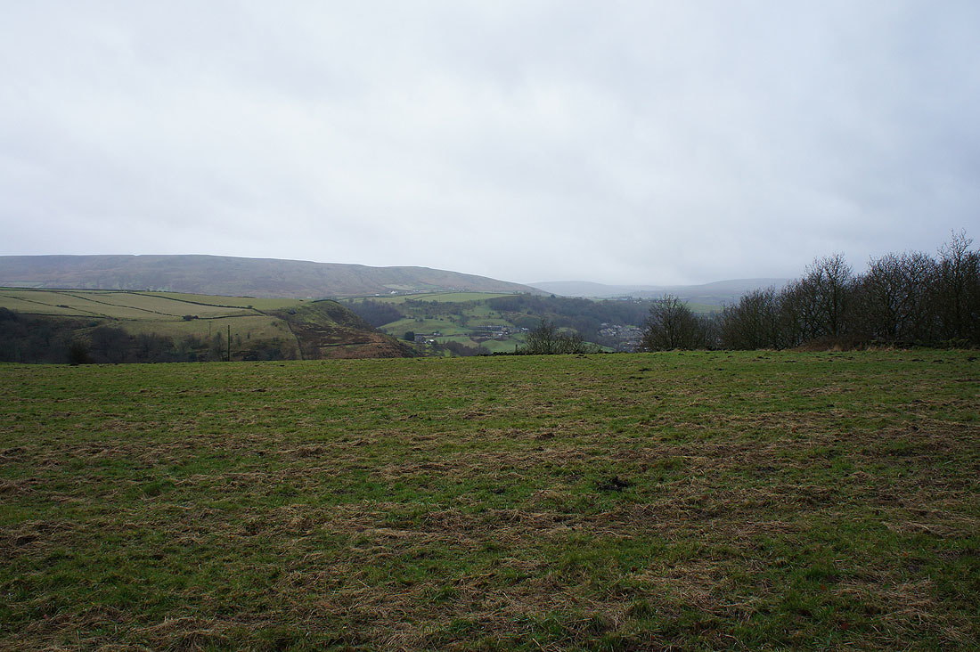
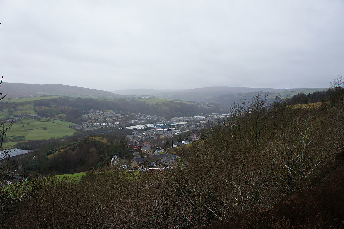
Views across Calderdale..

..to Stoodley Pike
There's a thick and heavy drizzle falling at Higher Ashes Farm
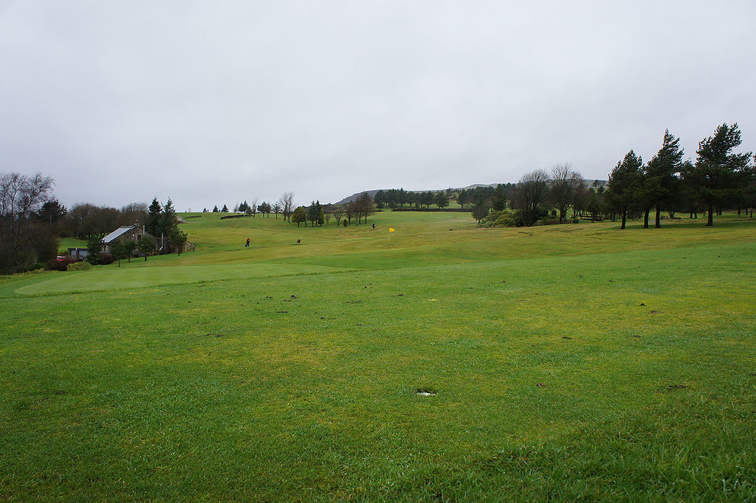
They must be mad, though not completely so as they were heading back to clubhouse. It would be a struggle keeping control of their balls in such a strong wind.
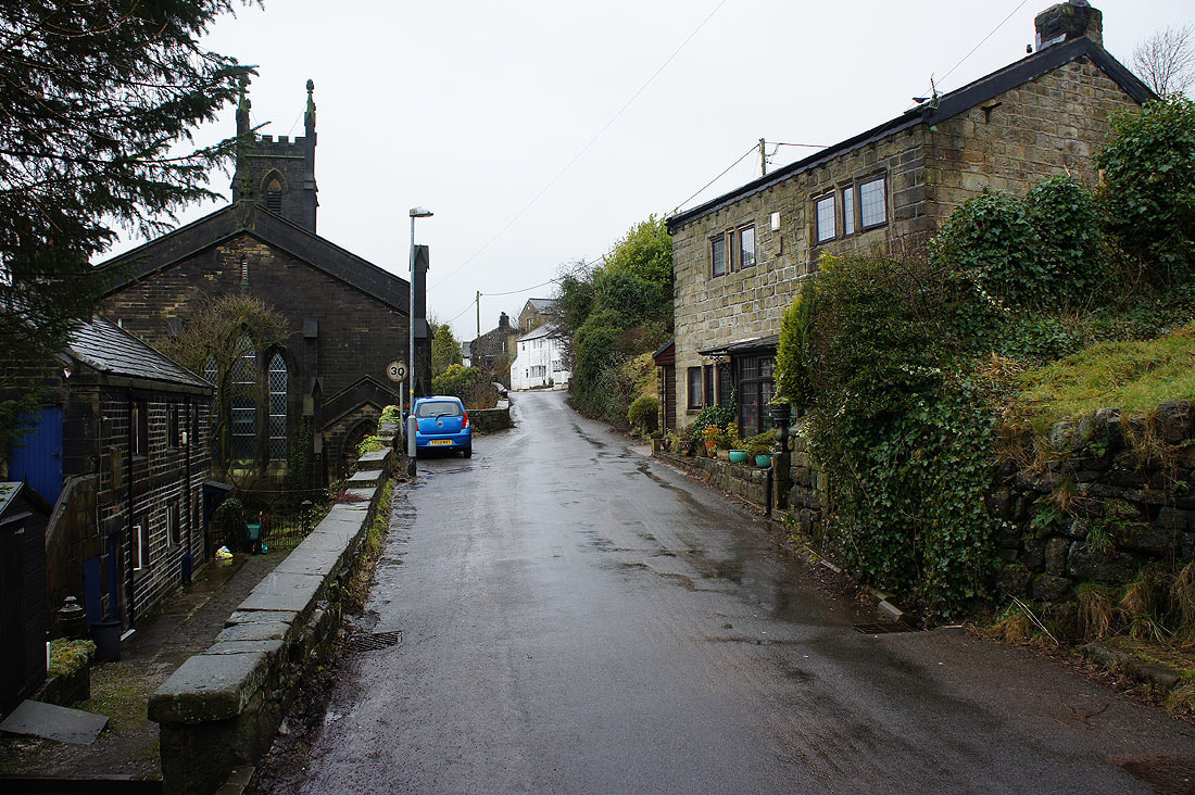
The hamlet of Cross Stone
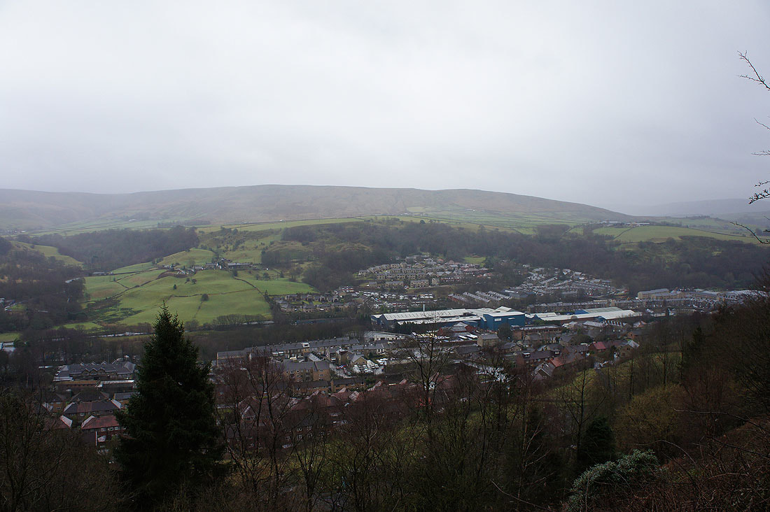
Looking out across a grey and murky Calderdale...
On the bridleway back to Rodwell End