28th January 2023 - Wolf Stones and Stanbury Moor
Walk Details
Distance walked: 11.2 miles
Total ascent: 1948 ft
OS map used: OL21 - South Pennines
Time taken: 6 hrs
Route description: Harehill Lane-Harehill House-Millennium Way-Keighley Moor Reservoir-Oakworth Moor-Pennine Way-Wolf Stones-Pennine Way-Ponden Reservoir-Pennine Way-Buckley-Near Slack-Far Slack-Ponden Clough-Ponden Kirk-Alcomden Stones-Stanbury Moor-Top Withins-Pennine Way-Near Slack-Buckley-Millennium Way-Hob Lane-Millenniun Way-Oldfield-Oldfield Lane-Harehill Lane
Poor weather this weekend has seen me resort to staying local for my walk, and making the short drive across the moors to Bronte Country. There was nothing new in the route that I chose, and I started making it up as I went along when the weather was better in the afternoon than I thought it would be. I arrived at the layby on Harehill Lane with a lot of sunshine and blue skies around, but I knew that this wouldn't last, and it would just be a matter of time before the skies clouded over. I set off for Wolf Stones at a good pace, hoping to get there with the sun still out but the cloud just beat me to it. I thought that would be the last of the sunshine for the day but it wasn't, and as I returned to the Worth valley on the Pennine Way the sun did too, with the low cloud breaking up as it crossed the moors. To make the most of this I decided to take in Ponden Clough and Stanbury Moor.
From where I parked in the layby on Harehill Lane on Hare Hill Edge I took the track up to Harehill House to join the trail of the Millennium Way, which I followed west across Oakworth Moor to Keighley Moor Reservoir. The trail was left here for a path that links up with the Pennine Way, which I followed north towards Wolf Stones, before leaving it to head for the trig point. After taking in the view I returned to the Pennine Way and followed it down into the Worth Valley to Cragg Bottom Road, then down to and around Ponden Reservoir, and up past Buckley Farm to Buckley Green where I took a track west to Near Slack and Far Slack. Keeping on access land I took a path down into Ponden Clough, across Ponden Clough Beck, and up the other side to reach a public footpath on the northern edge of the clough, which I took round the top of the clough to Ponden Kirk. From Ponden Kirk I took a path up Middle Moor Clough to the Alcomden Stones, then across Stanbury Moor past the trig point and to Top Withins to join the Pennine Way. I then followed the Pennine Way north to the moorland of The Height, but before reaching Upper Heights I took a footpath down to the track at Near Slack, which I walked east along past Buckley Green and onto the trail of the Millennium Way. I then followed this trail down to Hob Lane, up to Oldfield, and finally, up to where I parked in the layby on Harehill Lane on Hare Hill Edge.
Route map
© Crown copyright. All rights reserved. License number PU 100034184.
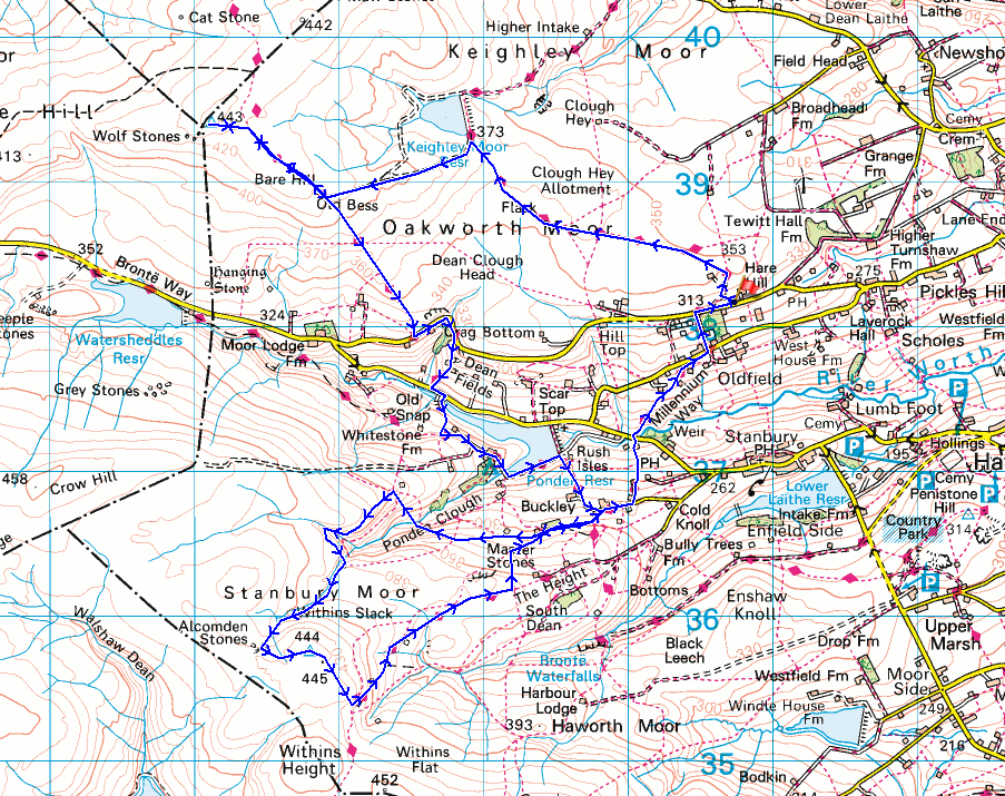
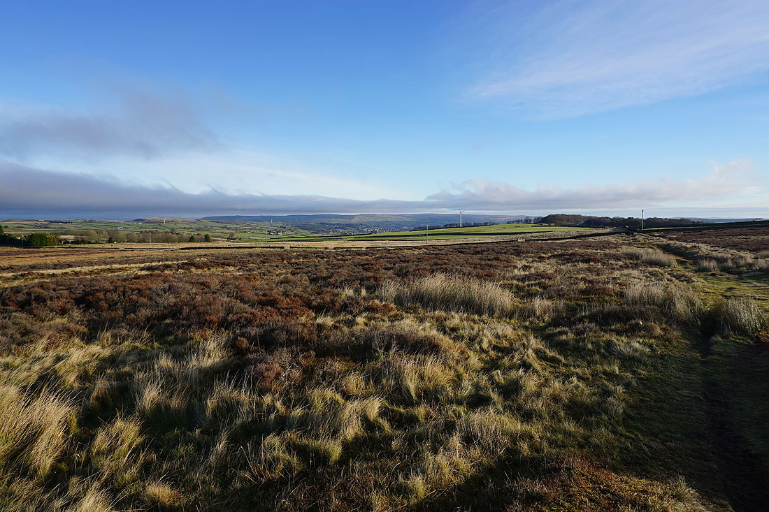
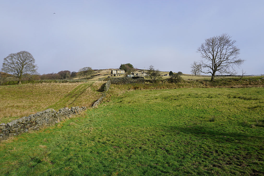
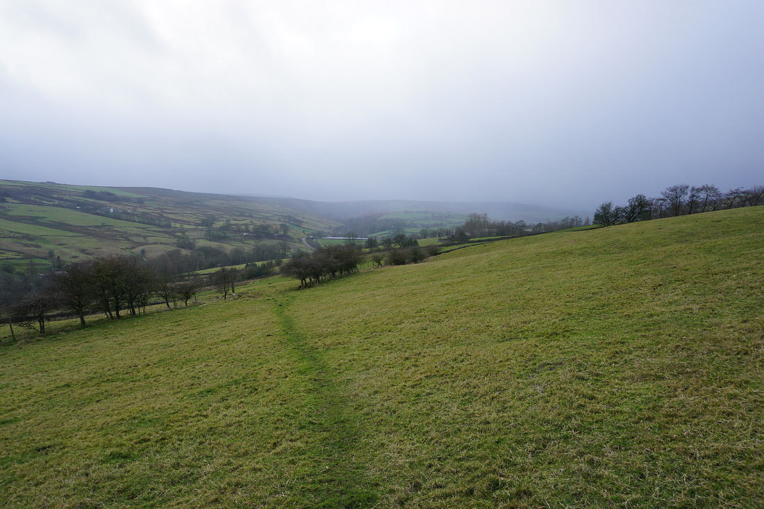
Looking across the Worth Valley to Haworth Moor and Oxenhope Moor from Hare Hill Edge
Onto the Millennium Way to Oakworth Moor
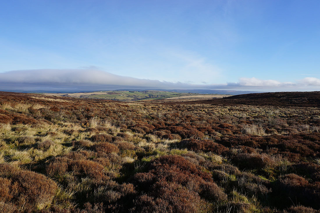
Looking back to the northeast and east to the moorland around Airedale..
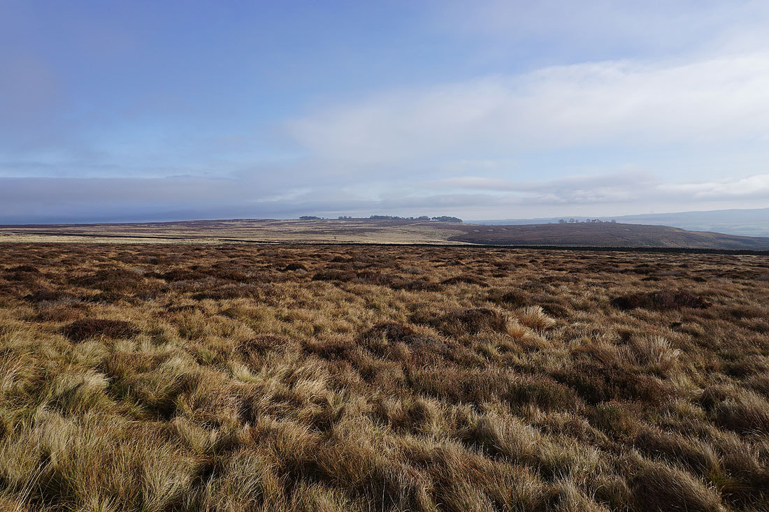
Heading west to Oakworth Moor
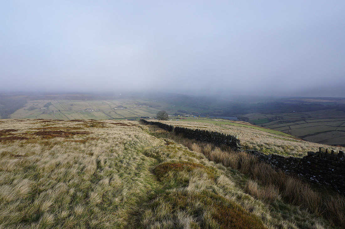
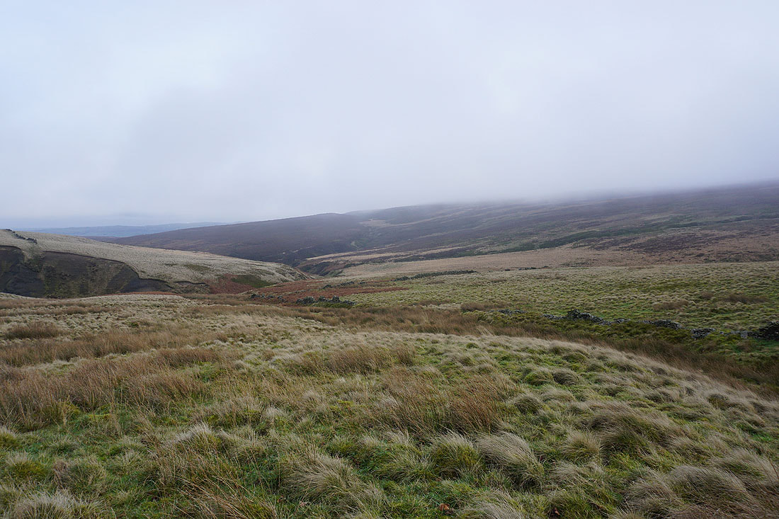
Stanbury Moor on the other side of the Worth Valley
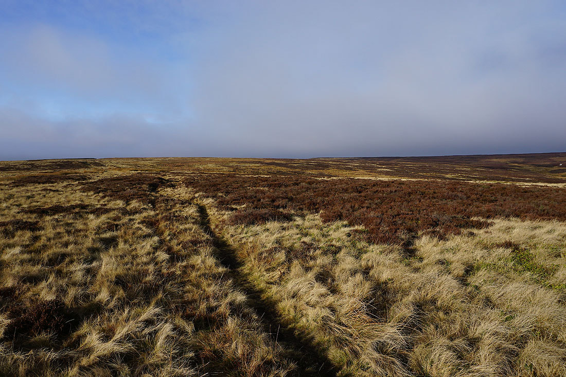
Signs of increasing cloud as I head west across Oakworth Moor
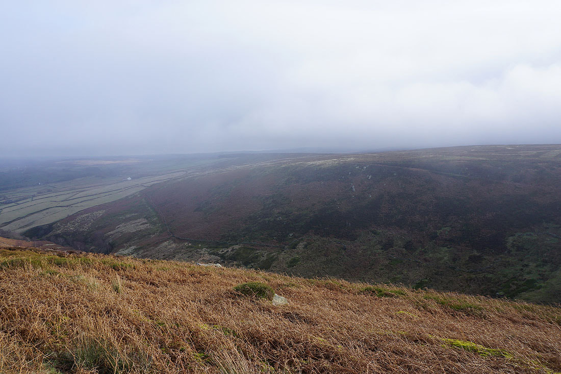
Looking down the valley of Newsholme Dean to Airedale
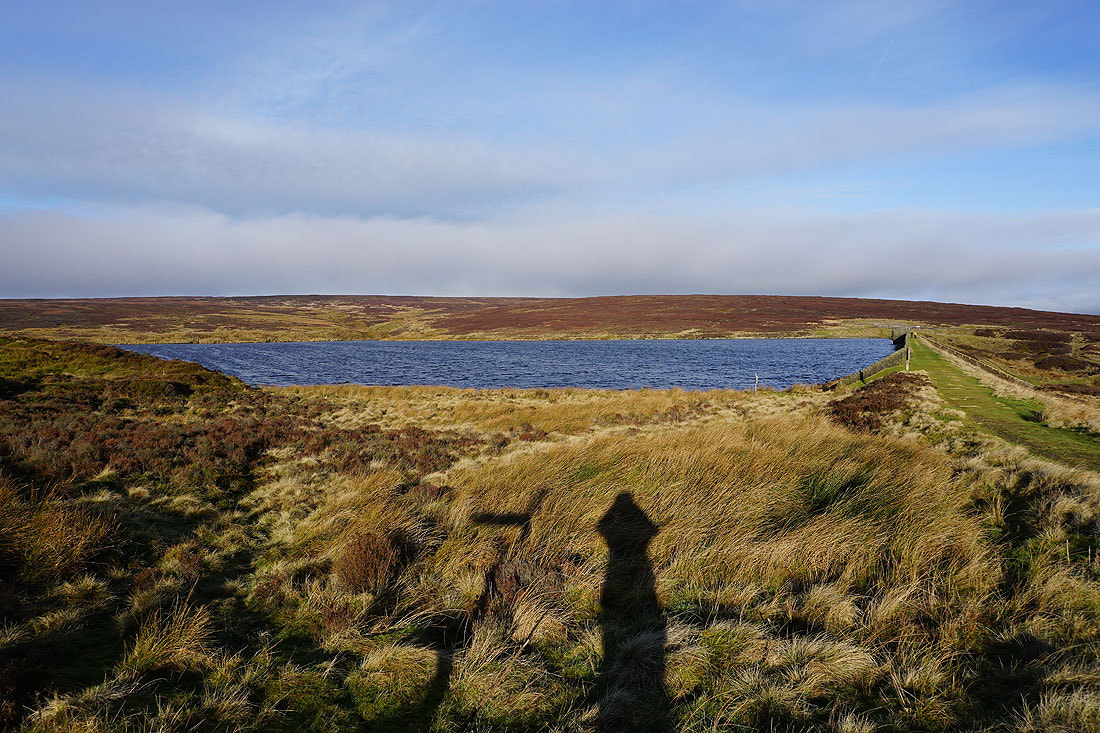
At a windswept Keighley Moor Reservoir
Looking back from the path up to the Pennine Way to Newsholme Dean and the moorland around Airedale..
Heading up to the Pennine Way
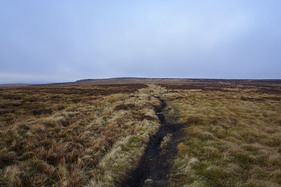
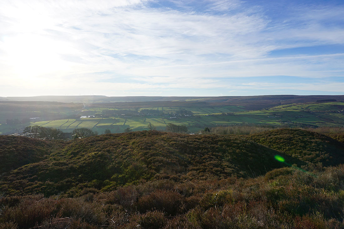
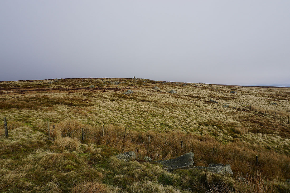
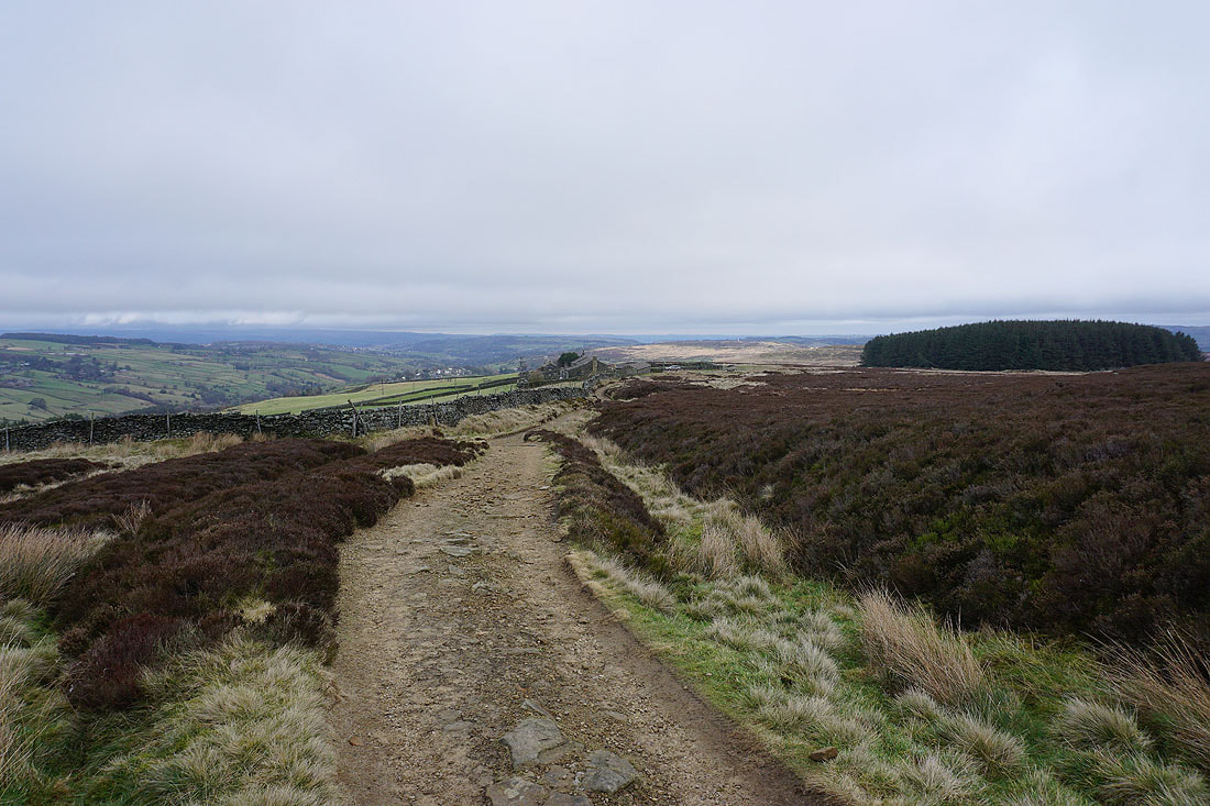
On the Pennine Way to Wolf Stones. The skies have quickly filled in with low cloud. Will I get a view?
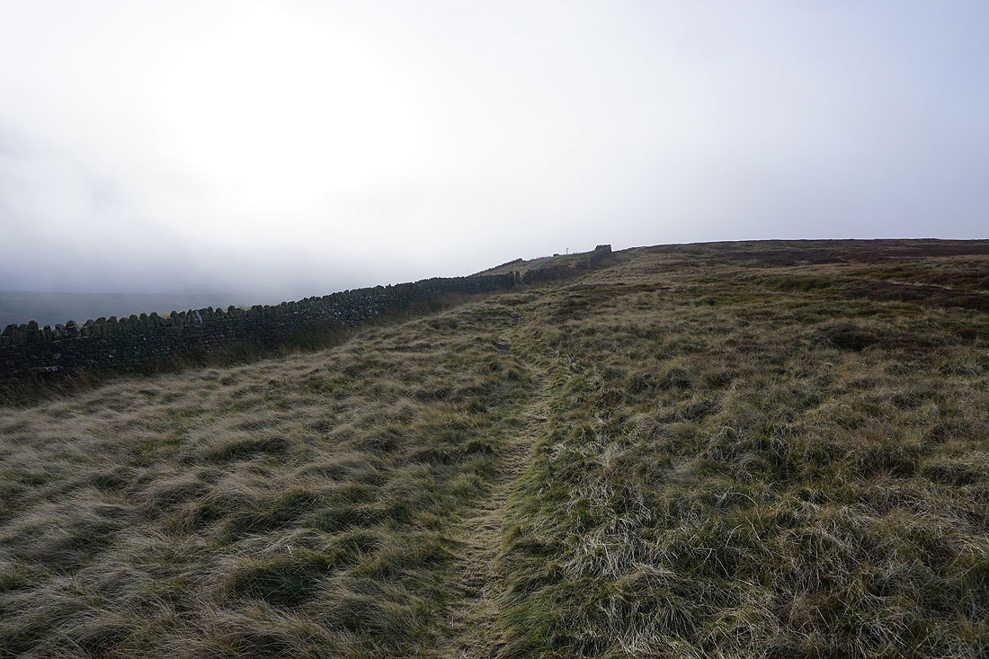
The Pennine Way is left for the final approach to the trig point
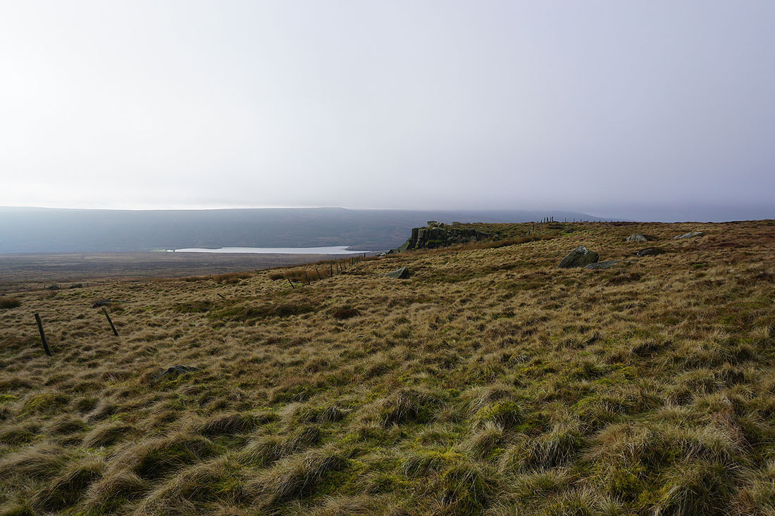
To my left, Watersheddles Reservoir and the gritstone edge of Wolf Stones
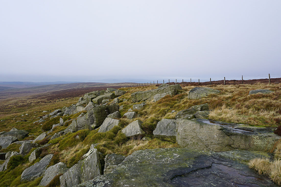
On the gritstone edge of Wolf Stones. I can just about make out Pendle Hill in the distance to the west.
Watersheddles Reservoir and a cloud topped Boulsworth Hill
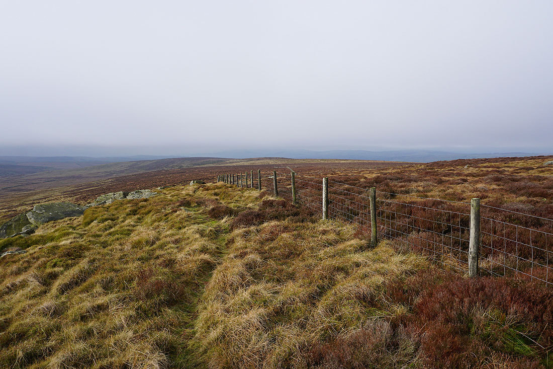
The fence heads west across the heathery expanse of Combe Hill
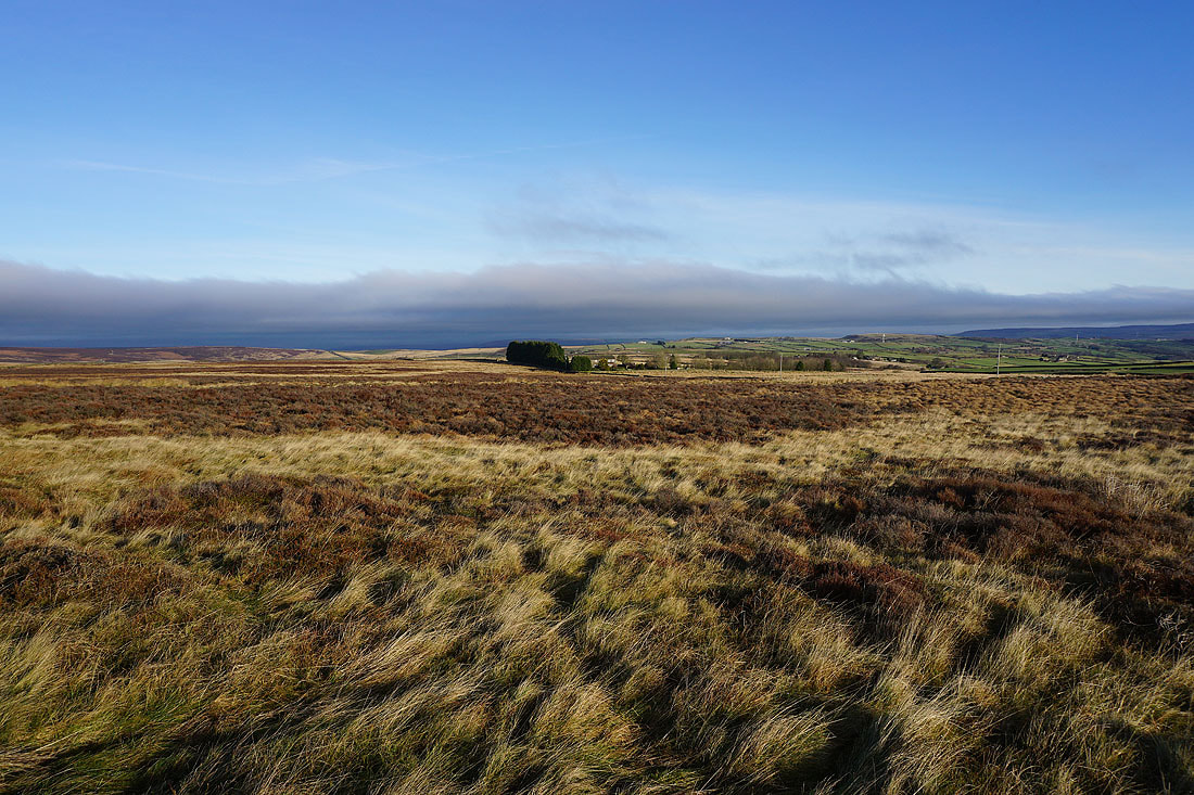
Looking east across Oakworth Moor
The trig point above
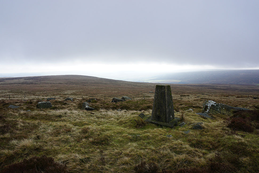
Up at the trig point. The sun is still shining to the east..
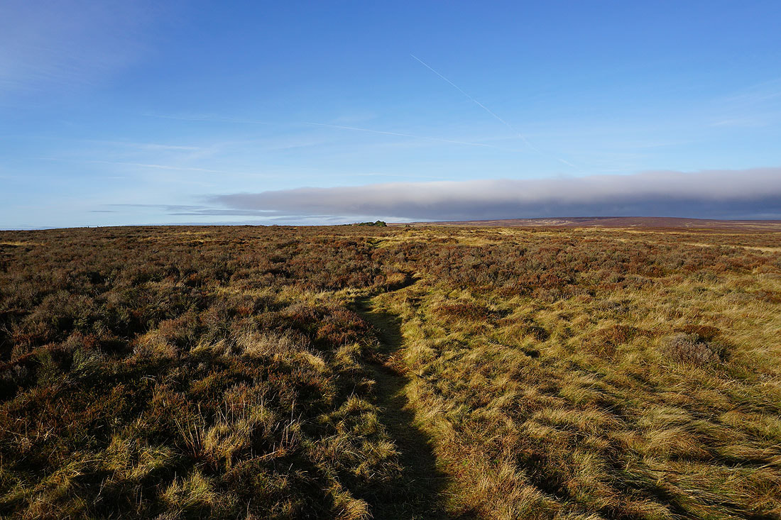
..but the cloud looks lower on Crow Hill and Boulsworth Hill
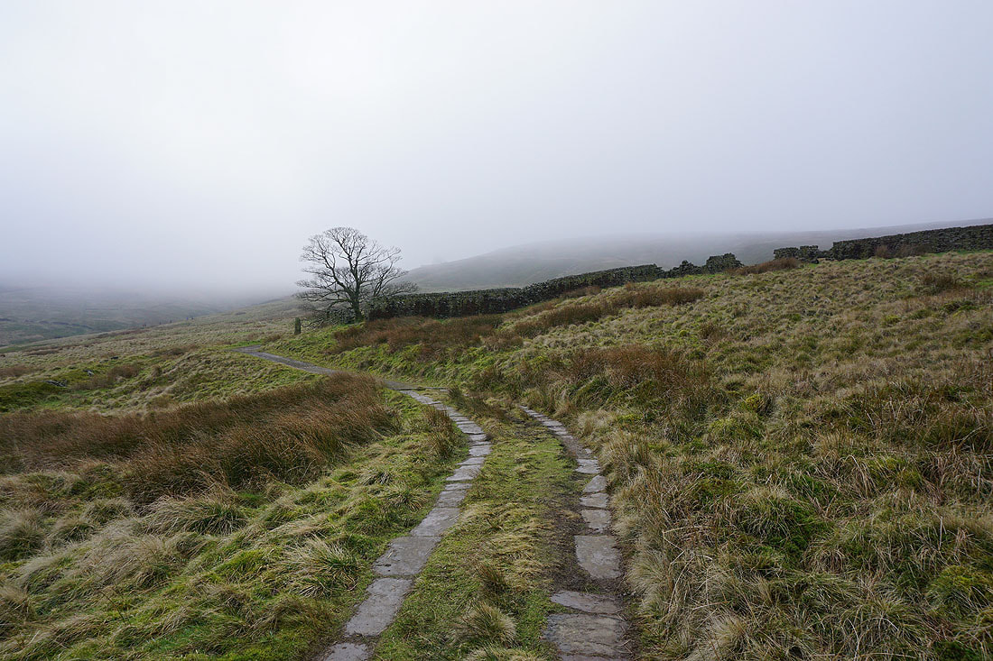
From the trig point I retraced my steps onto the Pennine Way. I'm back into the sunshine as I take the trail down into the Worth valley.
A sunlit Oakworth Moor
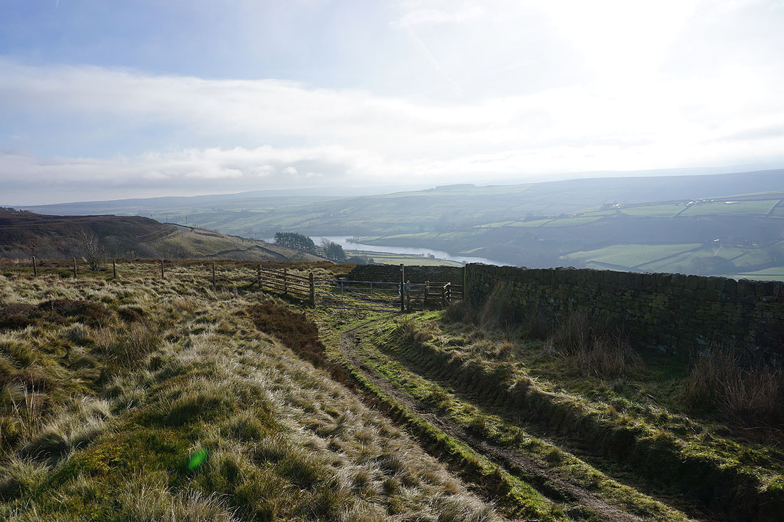
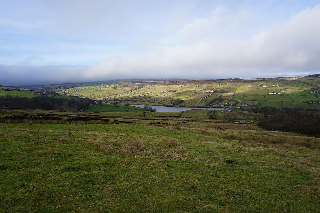
Ponden Reservoir appears below
Looking down Dean Clough
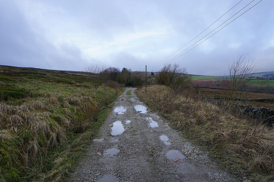
Following the Pennine Way down to Scar Top Road
Looking back up to Bronte Barn
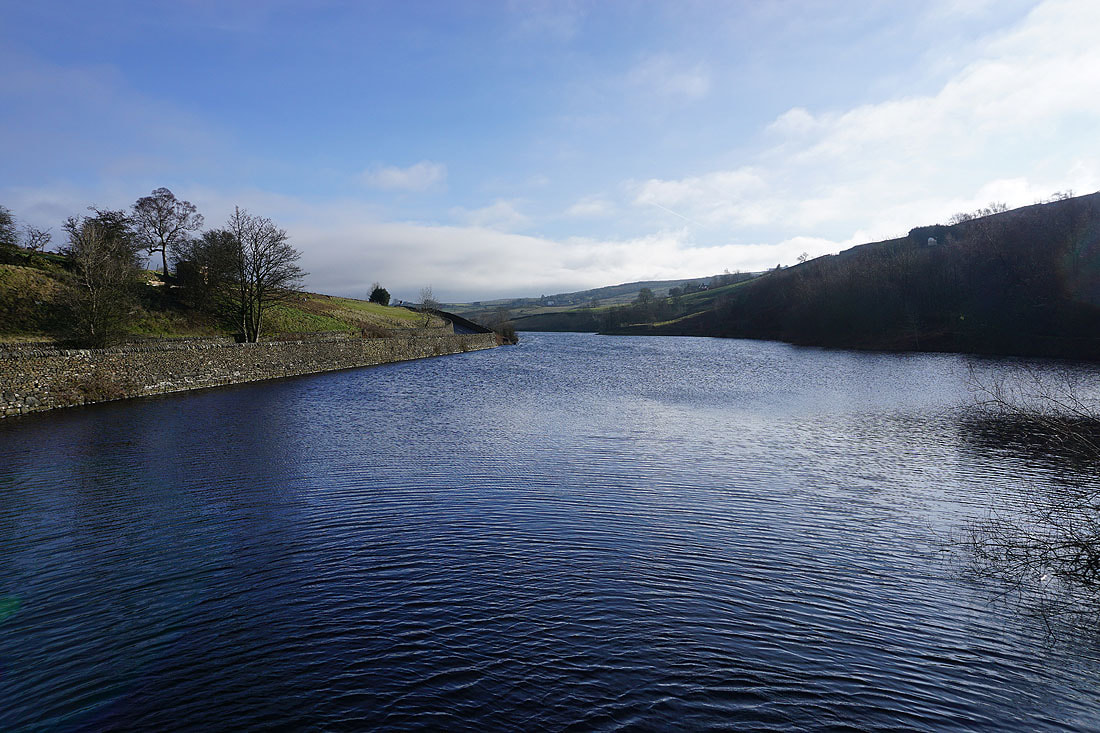
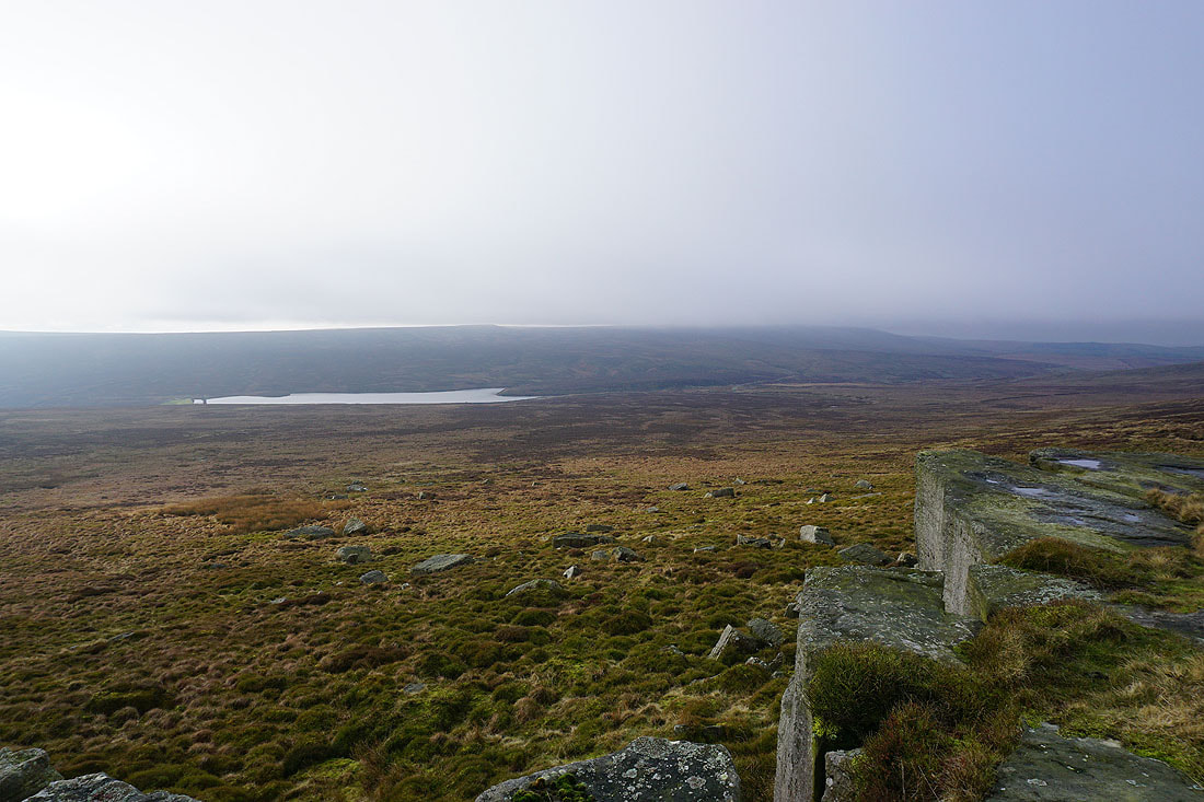
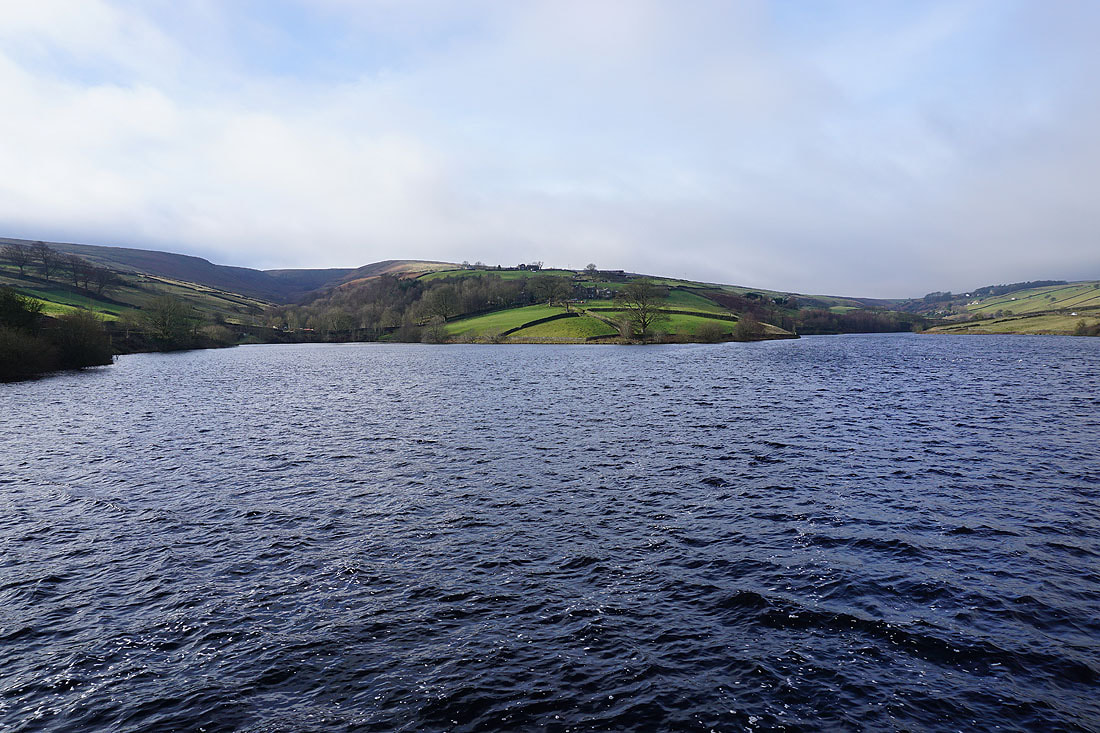
Ponden Reservoir from its western end
and again from the Pennine Way above its southern shore
By a windswept Ponden Reservoir..
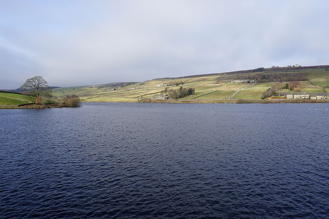
Ponden Reservoir below from the footpath..
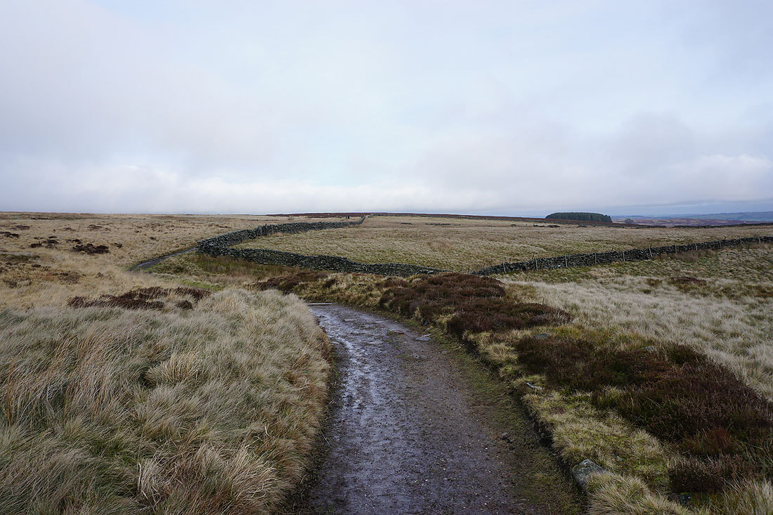
..west to Near Slack and Far Slack
From Far Slack I take a path across access land down into Ponden Clough
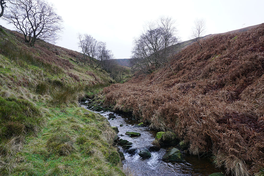
Crossing Ponden Clough Beck
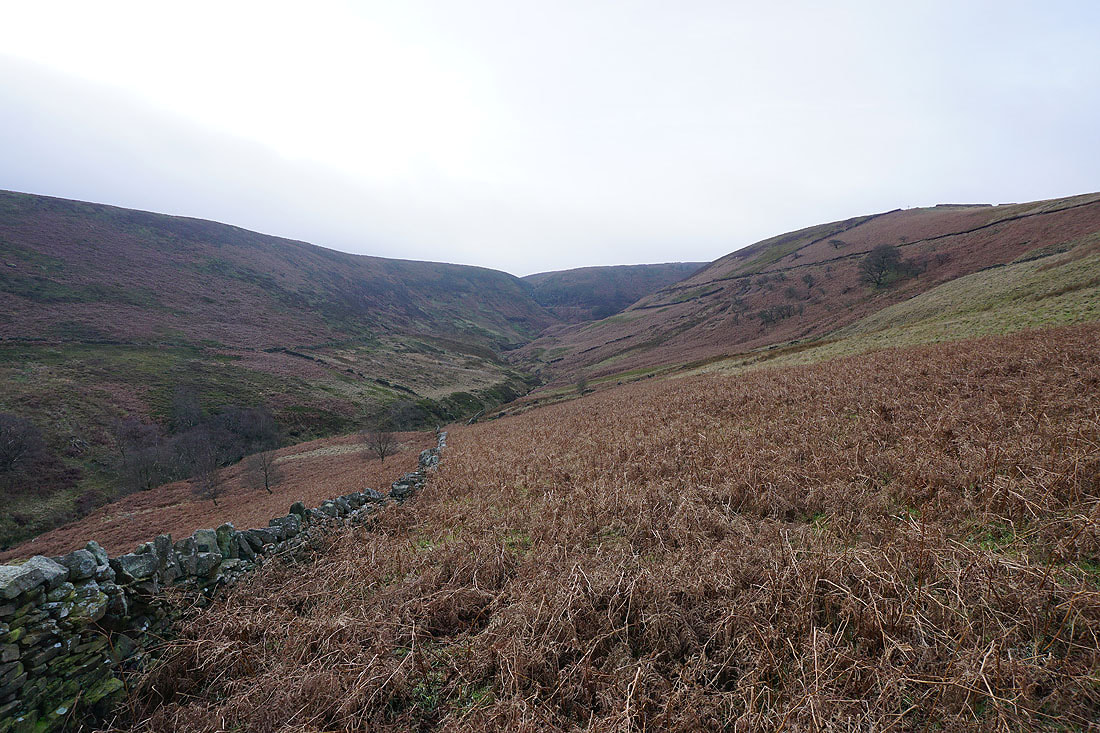
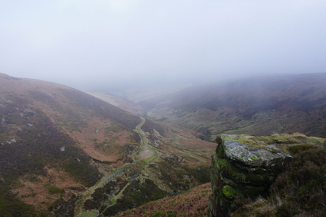
Looking up Ponden Clough to Ponden Kirk
Looking across the Worth valley to Oakworth Moor from the northern edge of Ponden Clough
Following the path up to Ponden Kirk, and into the cloud
A great view down the Worth valley as I walk up by Ponden Clough
Looking across Ponden Clough
and down Ponden Clough from Ponden Kirk
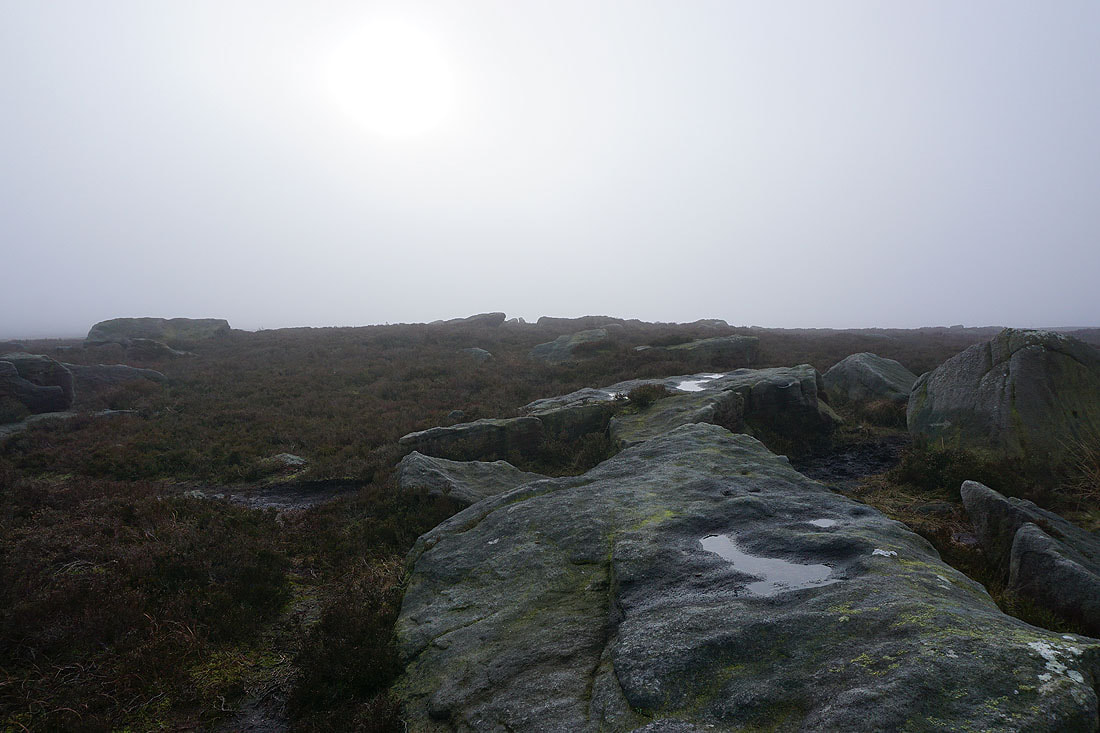
Not much to see at the Alcomden Stones. The sun is trying to shine through the low cloud.
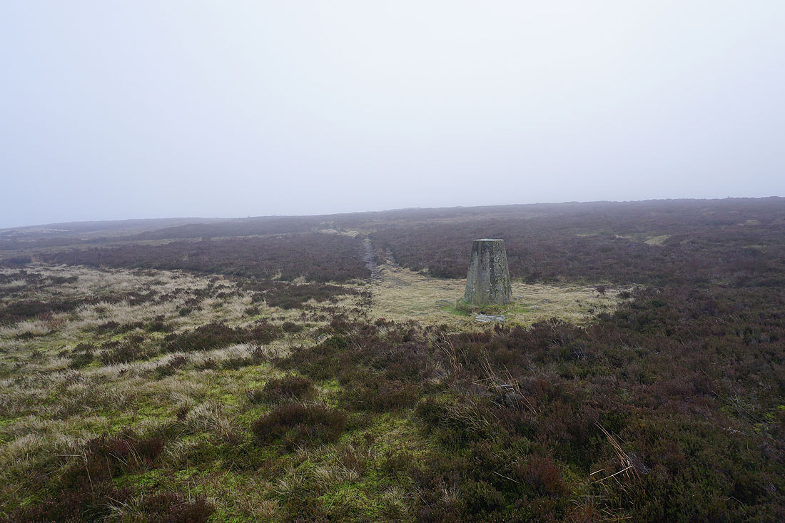
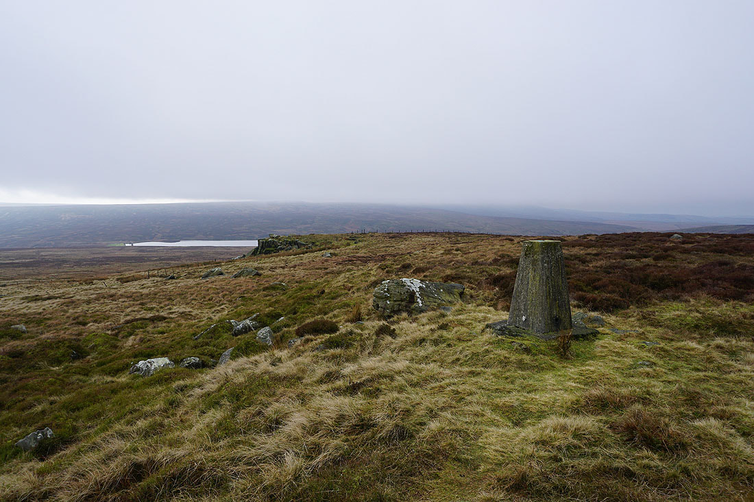
At the trig point on Stanbury Moor
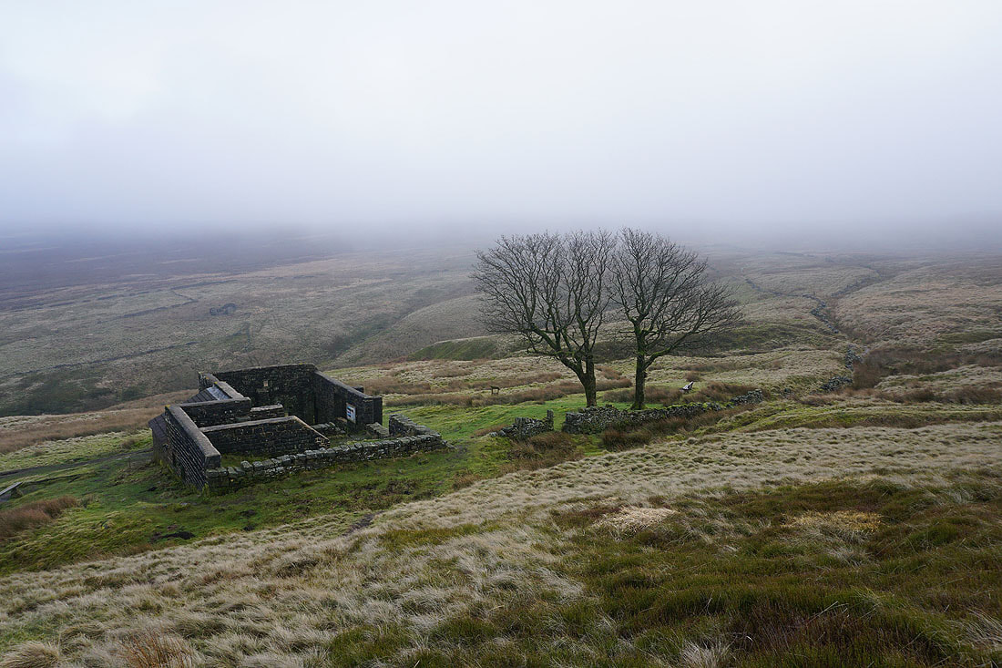
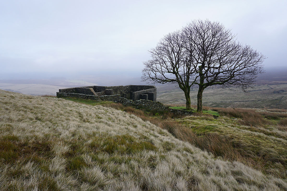
From the trig point there's a short walk to reach the ruins of Top Withins..
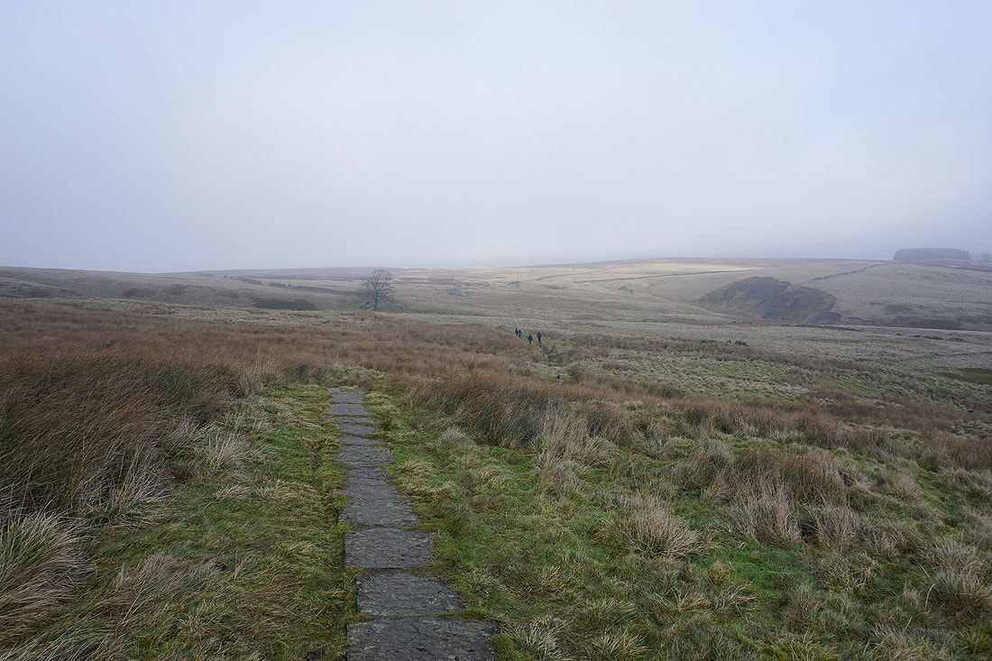
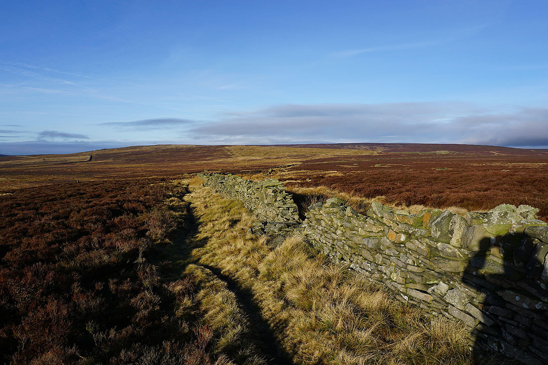
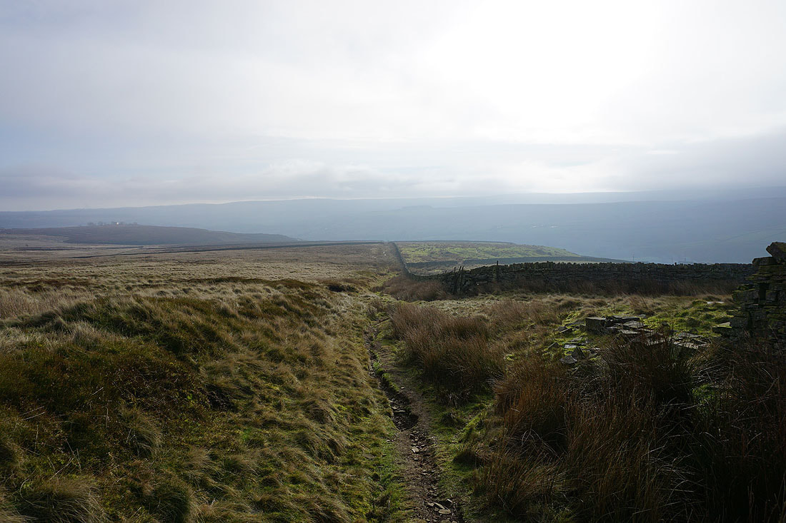
I leave Top Withins by taking the Pennine Way north
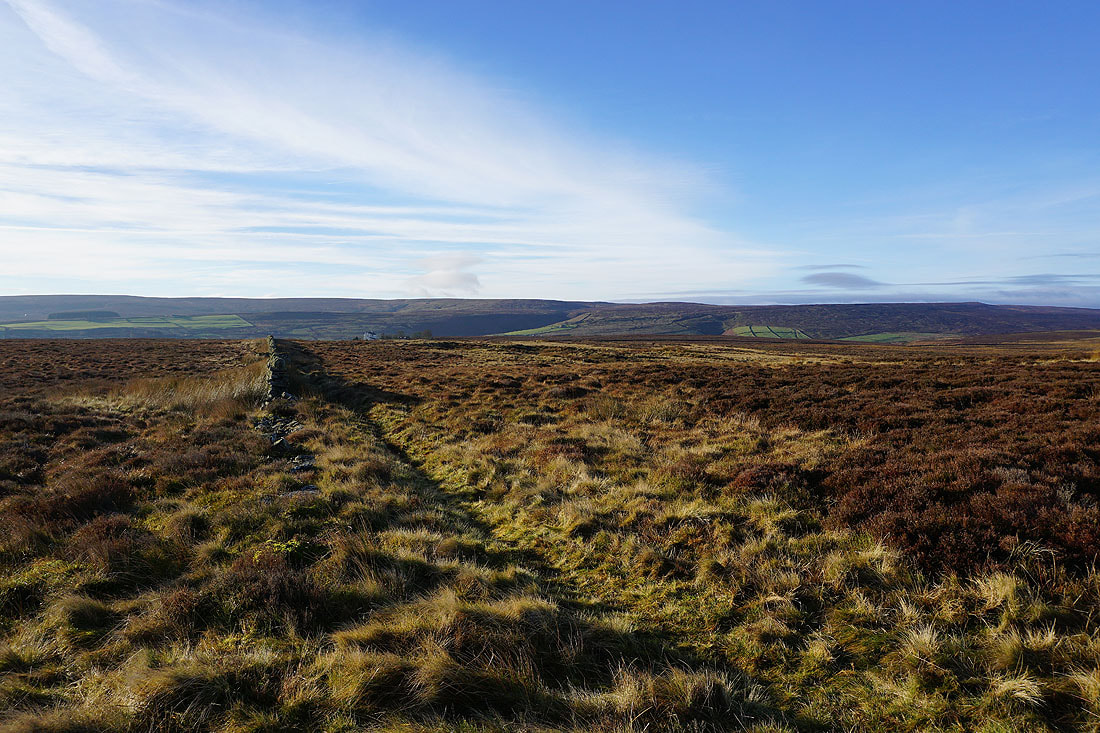
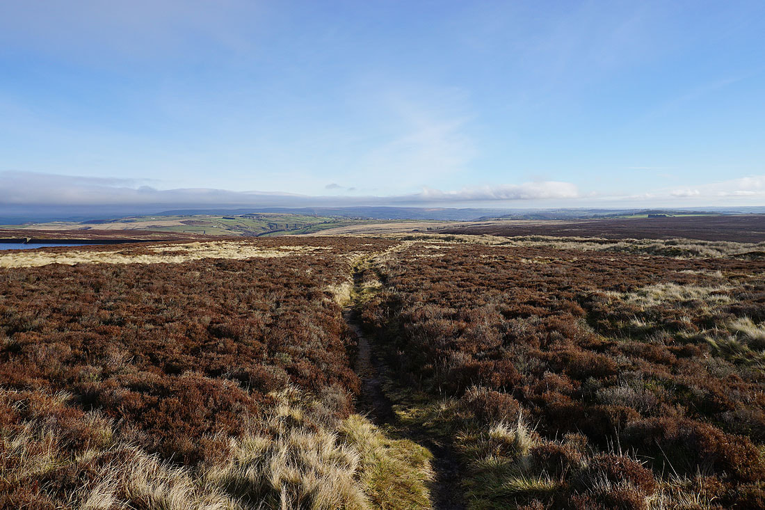
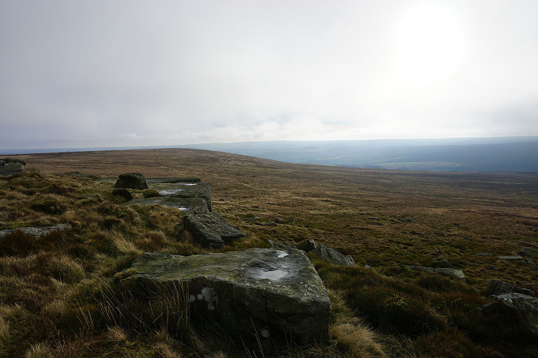
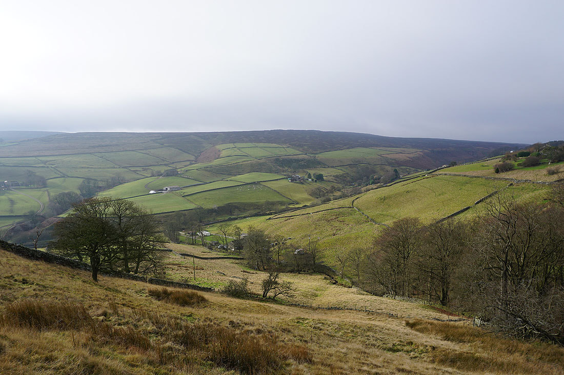
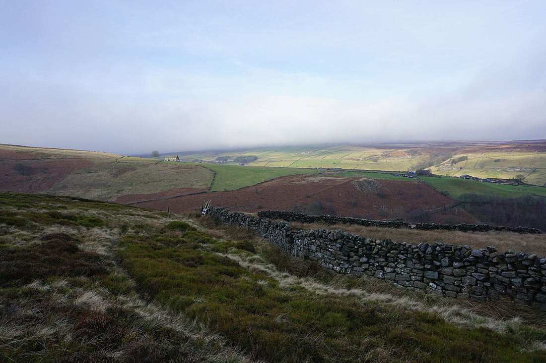
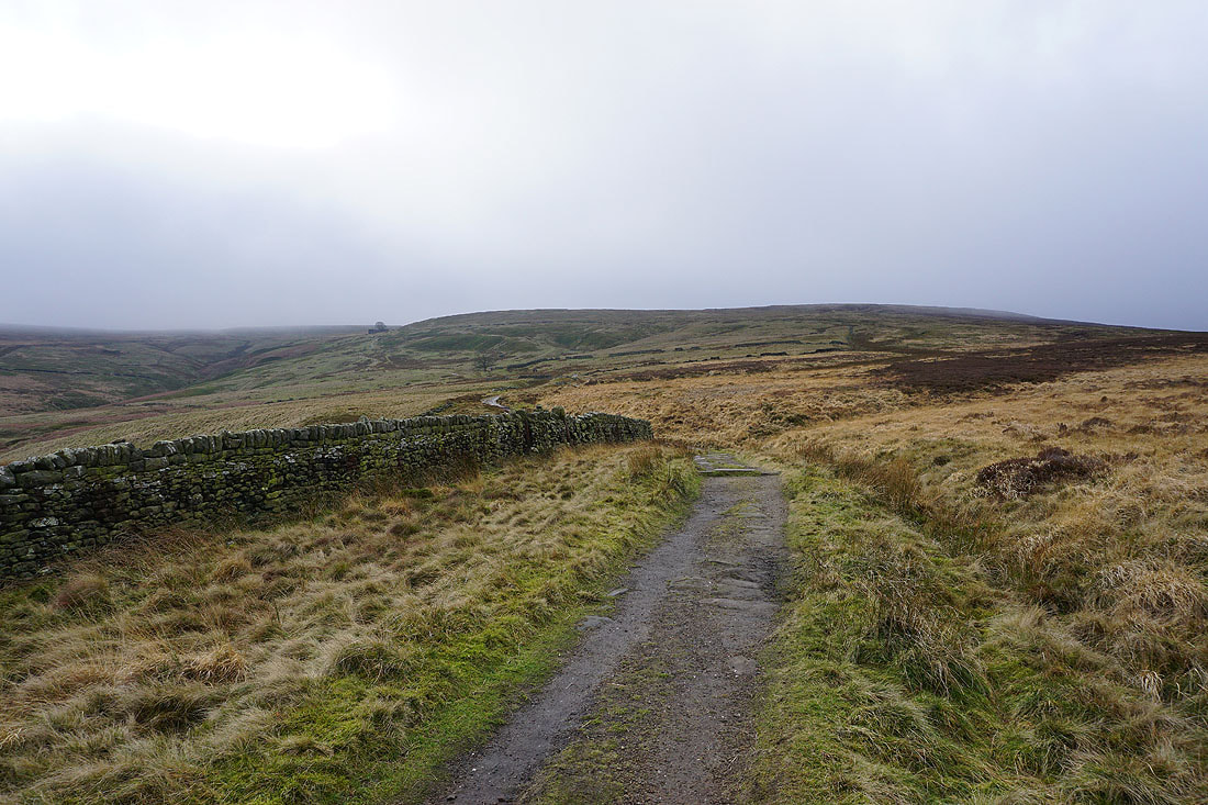
Looking across the top of the valley of South Dean Beck to Harbour Hill and Oxenhope Edge
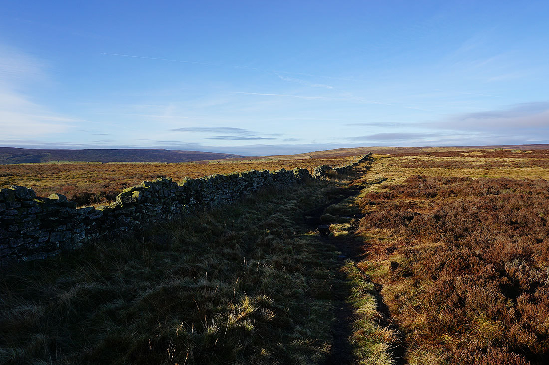
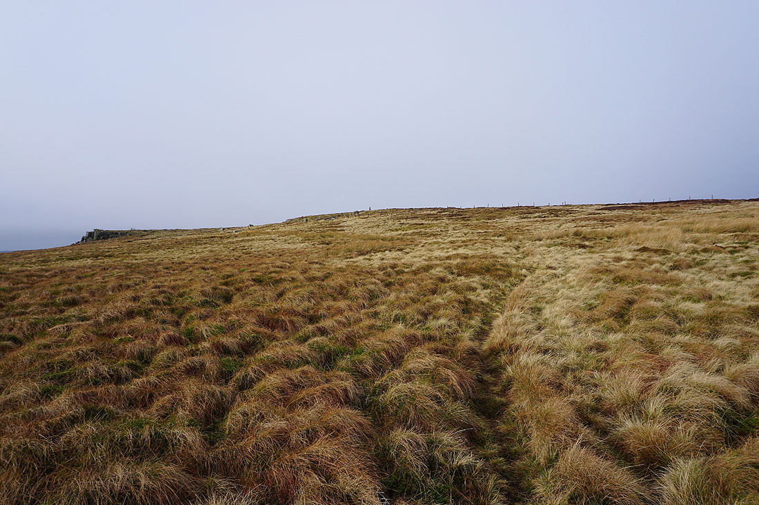
Looking back to Top Withins as I follow the Pennine Way east to the moorland of The Height....
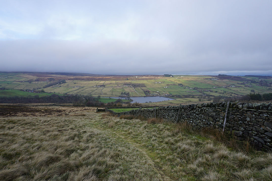
Ponden Reservoir below I leave the Pennine Way and take a path down to the track past Near and Far Slack that I was on earlier
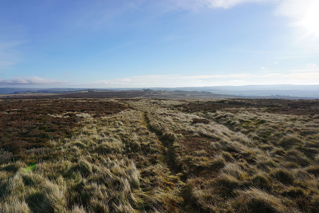
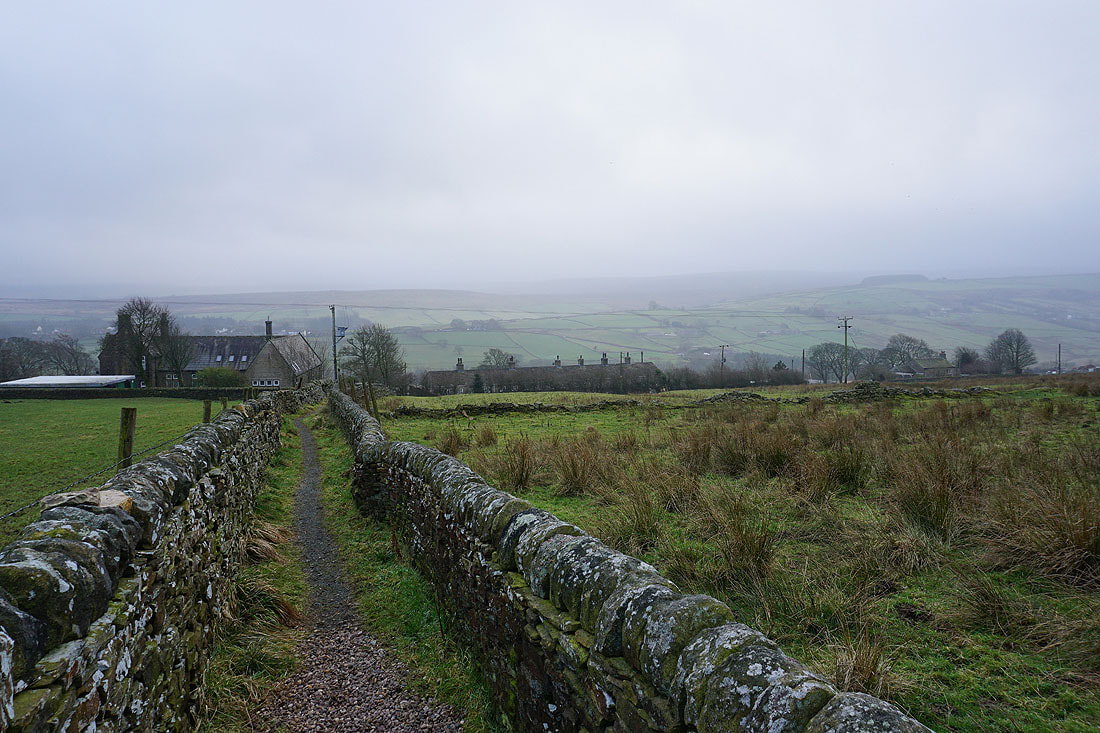
On the Millennium Way down to Hob Lane
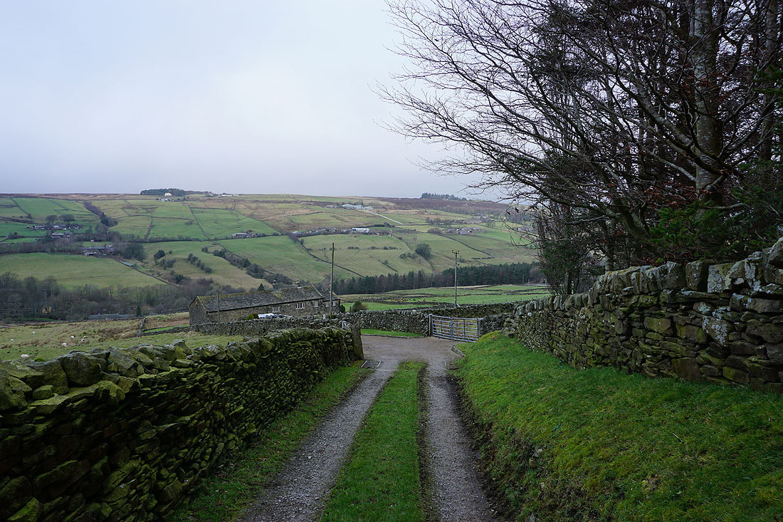
and after crossing Hob Lane, following the trail up through fields to Oldfield
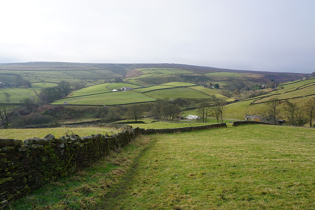
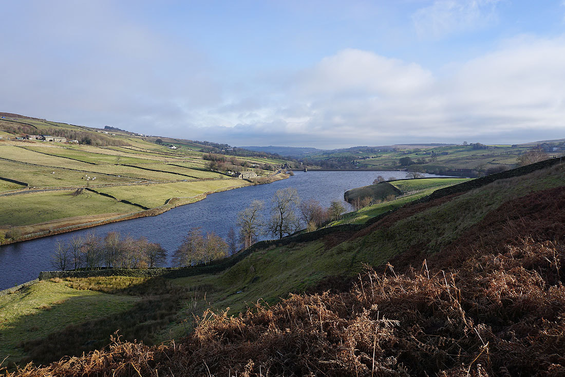
Looking back to Ponden Clough and Ponden Reservoir
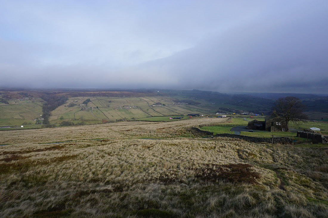
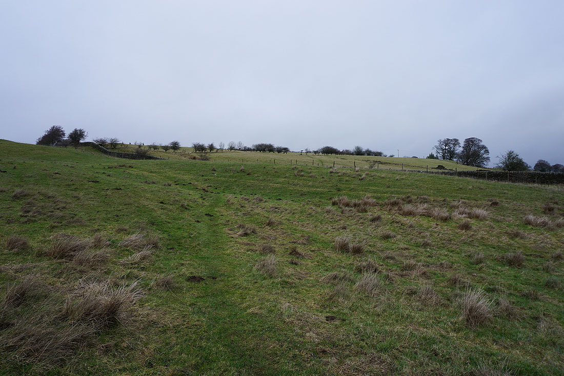
A murky view across the Worth valley with drizzle in the air as I head up to the layby on Harehill Lane from Oldfield