28th June 2014 - Lingmoor Fell
Walk Details
Distance walked: 7.2 miles
Total ascent: 1863 ft
OS map used: OL6 - The English Lakes, Southwestern area & OL7 - The English Lakes, Southeastern area
Time taken: 5.5 hrs
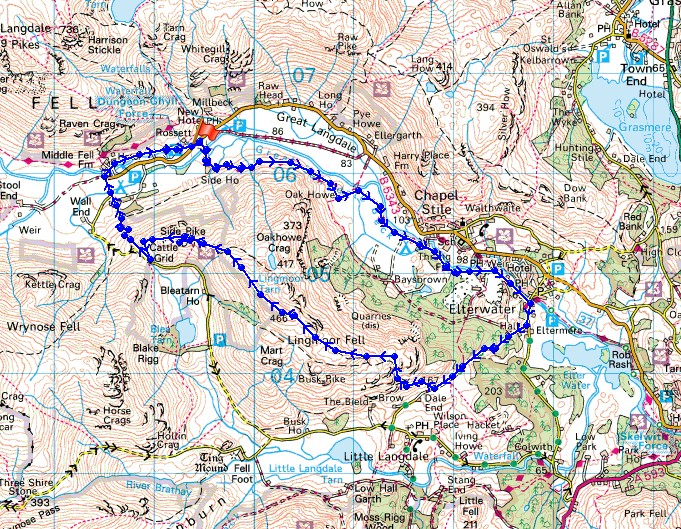
Route description: NT car park at Stickle Barn-Cumbria Way-Elterwater-Dale End-Lingmoor Fell-Side Pike-Old Dungeon Ghyll-NT car park at Stickle Barn
It's been several years since my Dad last joined me for a walk in the Lakes so I thought this route over Lingmoor Fell would be a good one for him to join me on. There are great views without the amount of ascent that getting to the tops of the higher fells requires. No sunshine today unfortunately, it remained resolutely overcast but it was quite warm and with light winds it was a pleasant enough day.
From the NT car park at Stickle Barn we crossed the road and took the signposted bridleway to Side House. This is the Cumbria Way and we followed this path all the way to Elterwater. From Elterwater we briefly followed the road south towards Colwith before taking the bridleway to Little Langdale. Just before it reaches Dale End Farm a gate on the right gives access to the fell and a clear path takes you up and across Lingmoor Fell to the summit. Our route continued along the crest of the fell to Side Pike before heading down through the NT campsite to the road. A walk across fields from the Old Dungeon Ghyll took us back to Stickle Barn.
Route map
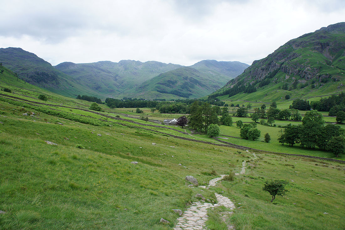
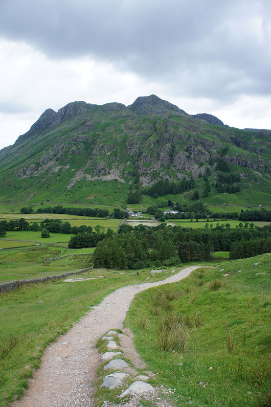
A great view of the head of Great Langdale is left behind as we set off on the Cumbria Way to Elterwater. Pike o'Blisco on the left, then the Crinkle Crags and Bow Fell.
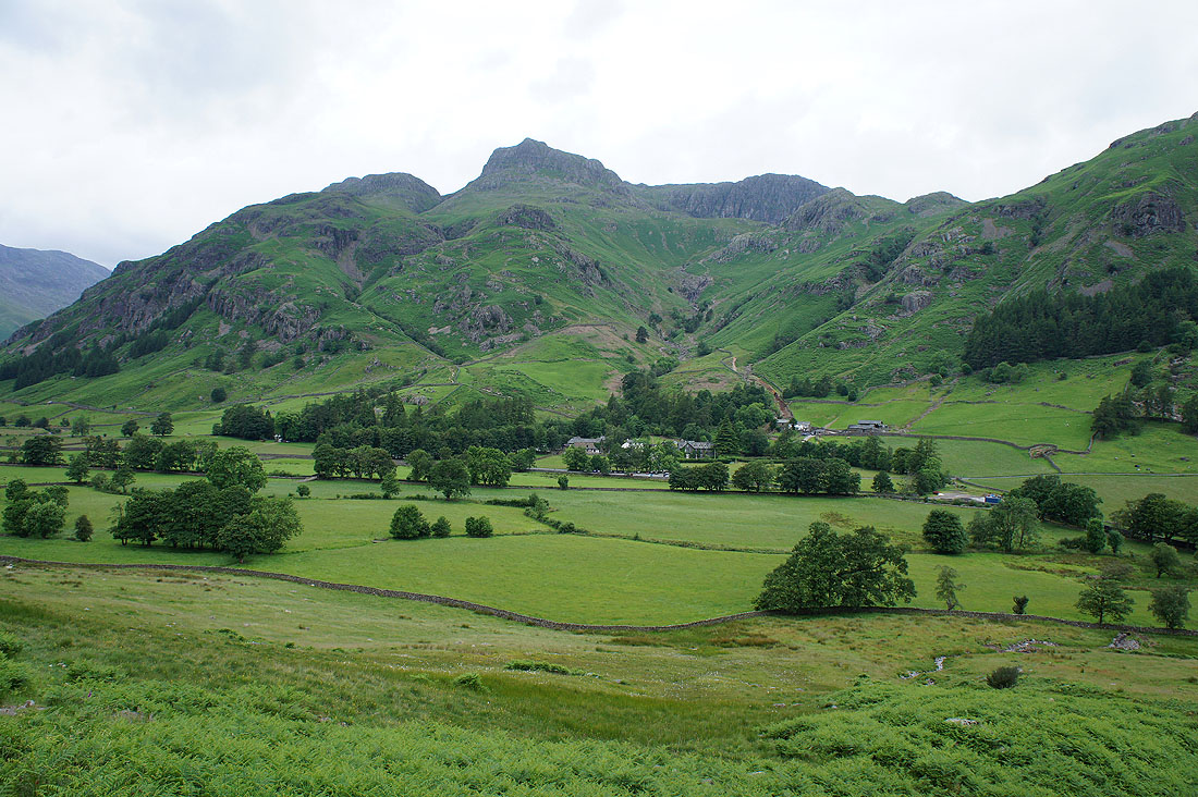
A little to the right are the Langdale Pikes with Harrison Stickle standing proud
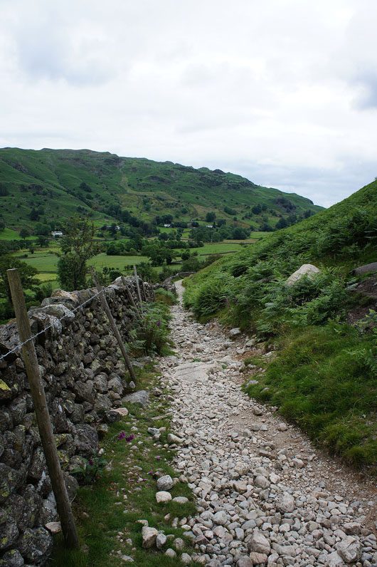
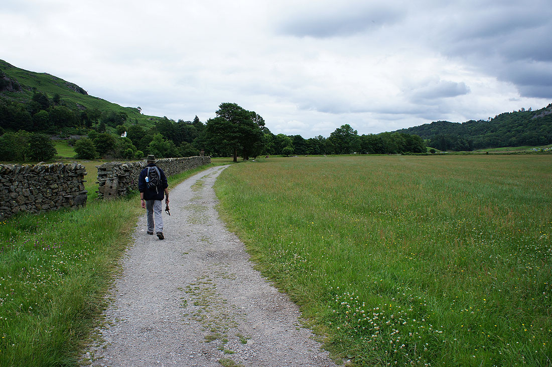
It's a rough and stony path
which becomes a track past Oak Howe
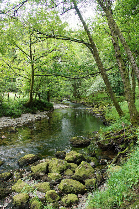
By Great Langdale Beck
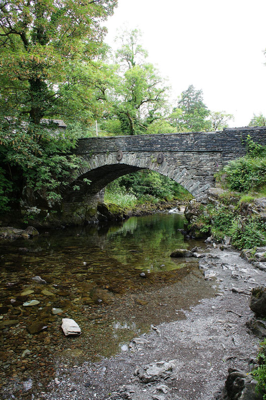
In Elterwater at the bridge over Great Langdale Beck
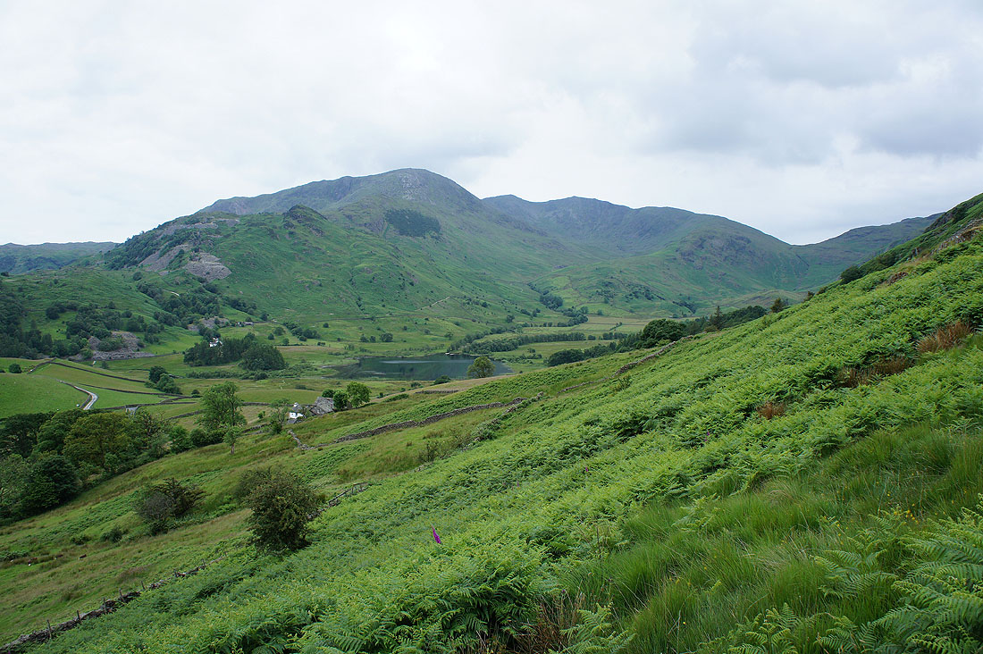
We've left the bridleway from Elterwater to Little Langdale to start the climb up Lingmoor Fell. I was up there last Saturday. Wetherlam, Swirl How, Great Carrs and Little Langdale Tarn.
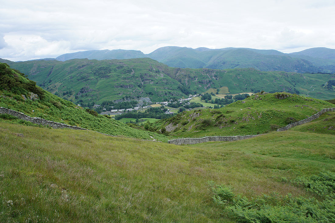
The village of Chapel Stile in the valley below
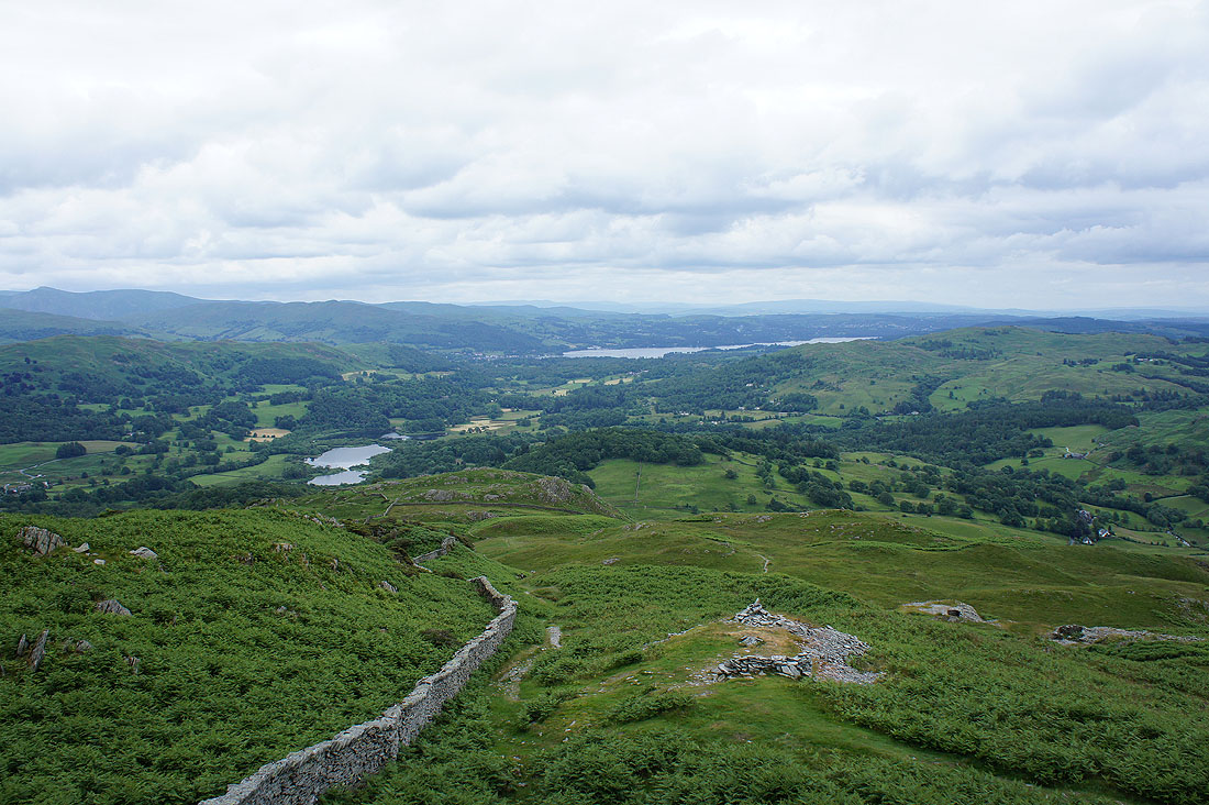
Looking back to Elter Water and Windermere as height is gained
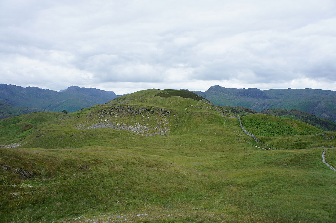
Not far to go to reach the summit
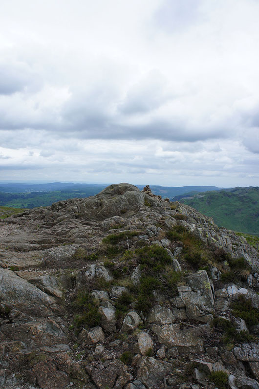
The rocky top of Lingmoor Fell with a very meagre cairn
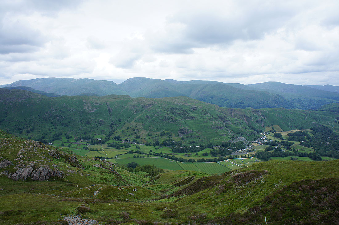
Views from the summit. Great Langdale and the village of Chapel Stile below, then the Blea Rigg to Silver How ridge with Helvellyn and Fairfield beyond.
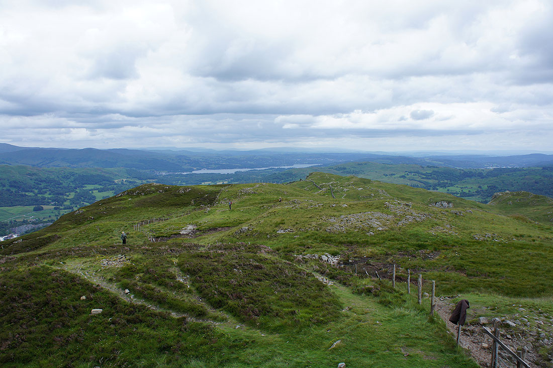
Windermere in the distance
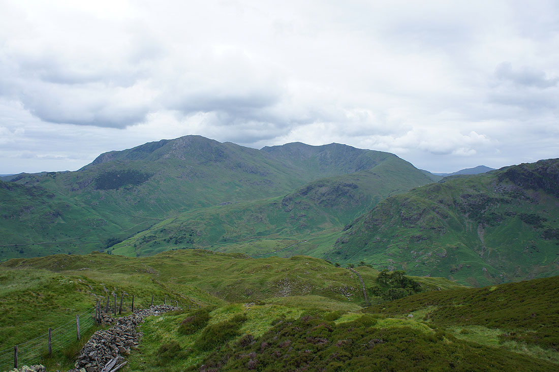
Wetherlam, Swirl How, Great Carrs and Wet Side Edge
Pike o'Blisco, Crinkle Crags and Bow Fell
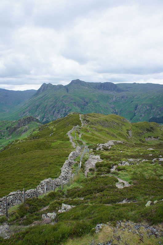
The Langdale Pikes ahead for the best bit of the walk, along the crest of the fell to Side Pike
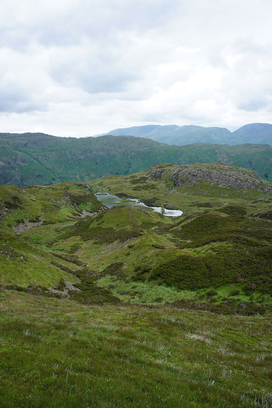
Lingmoor Tarn
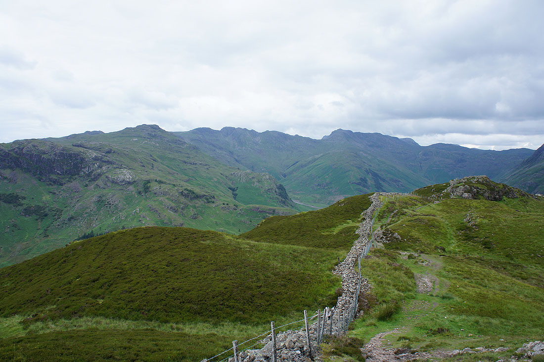
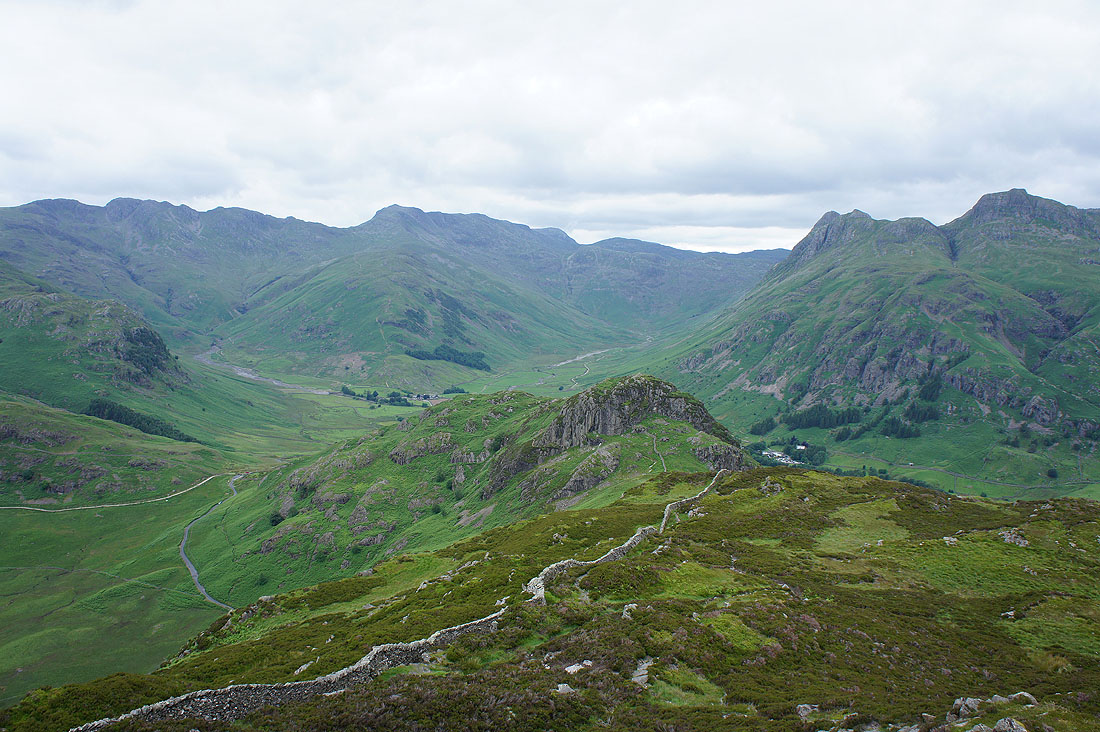
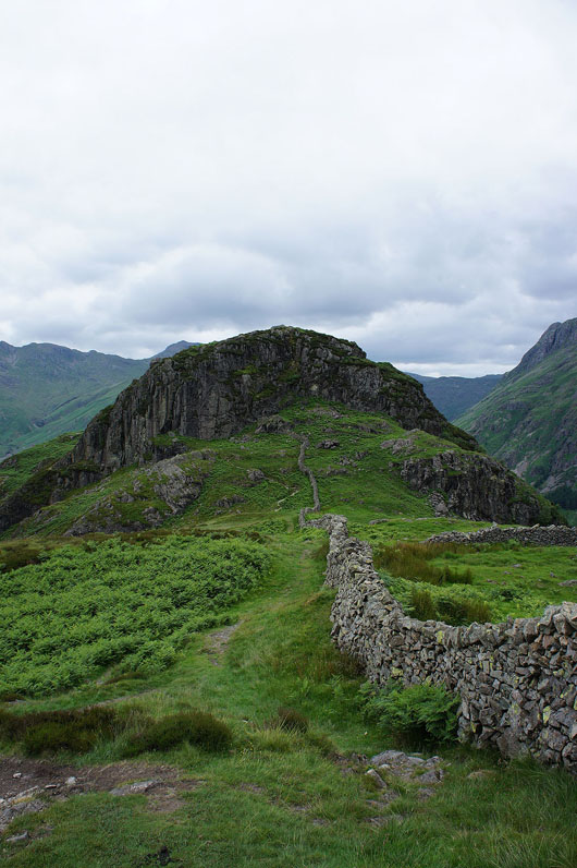
A fantastic view of what lies ahead. The wall runs along the crest of the fell to Side Pike but it's the head of Great Langdale that catches the eye.
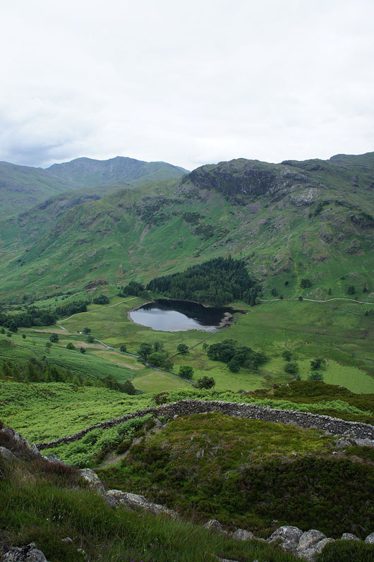
Blea Tarn
The rocky knuckle of Side Pike starts to loom large
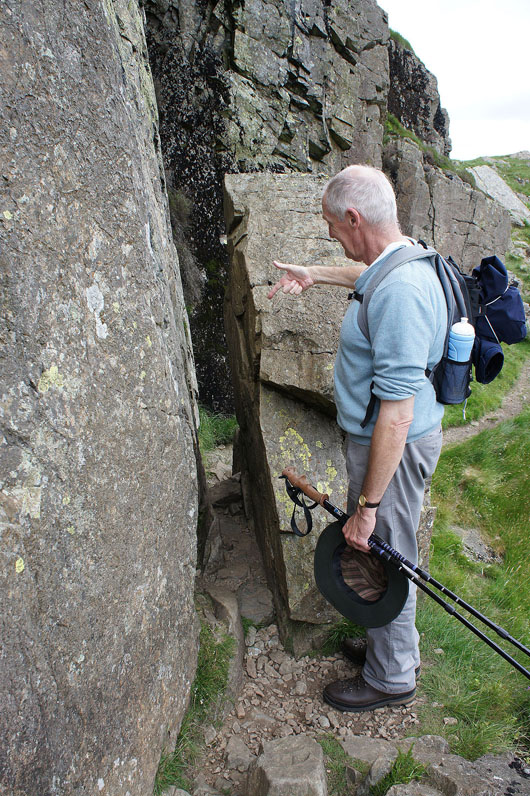
The key to getting past the crags. It's definitely rucksacks off though.
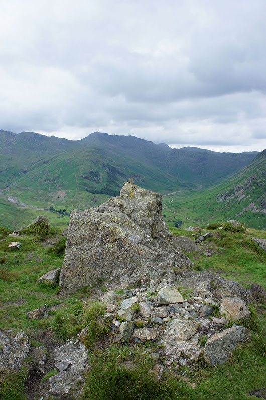
On the top of Side Pike. Definitely worth a visit.
Crinkle Crags, Bow Fell and the two valleys of Oxendale and Mickleden separated by The Band
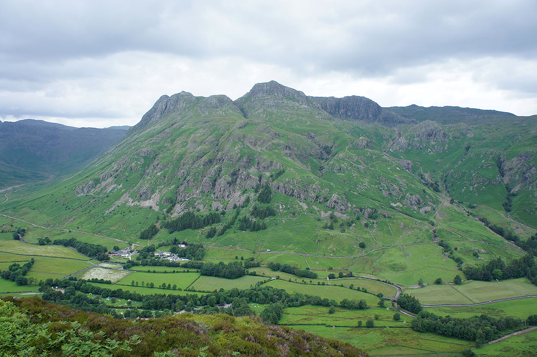
The Langdale Pikes. Pike o'Stickle, Loft Crag, Harrison Stickle and Pavey Ark
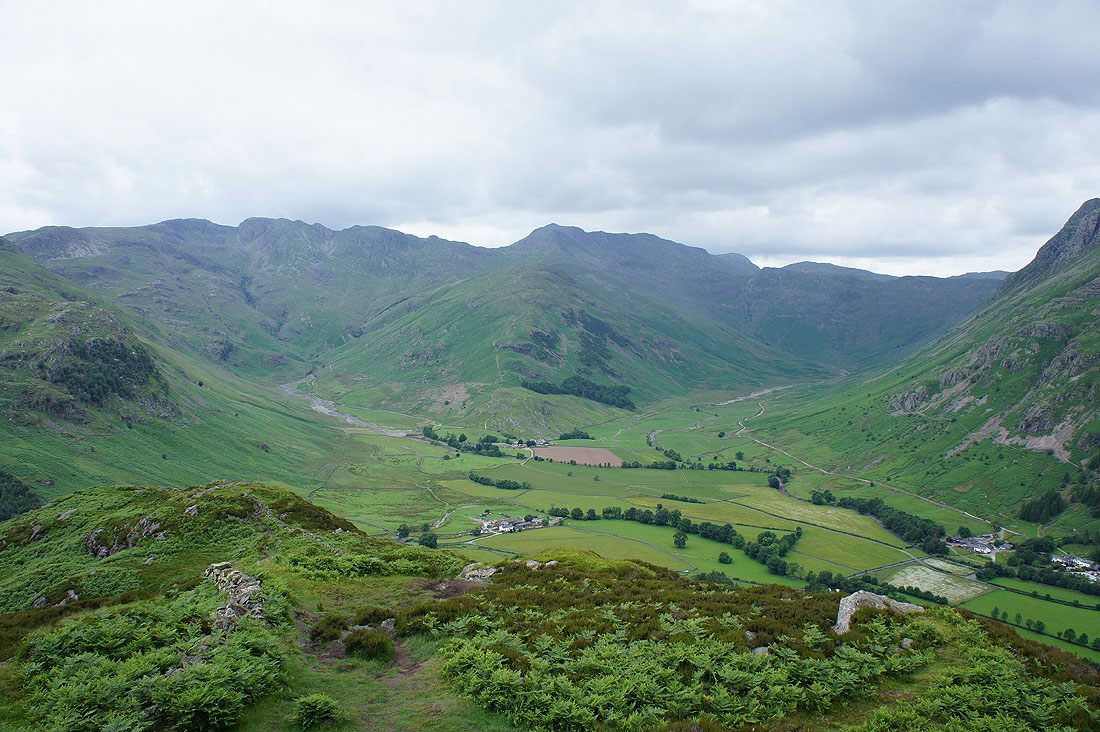
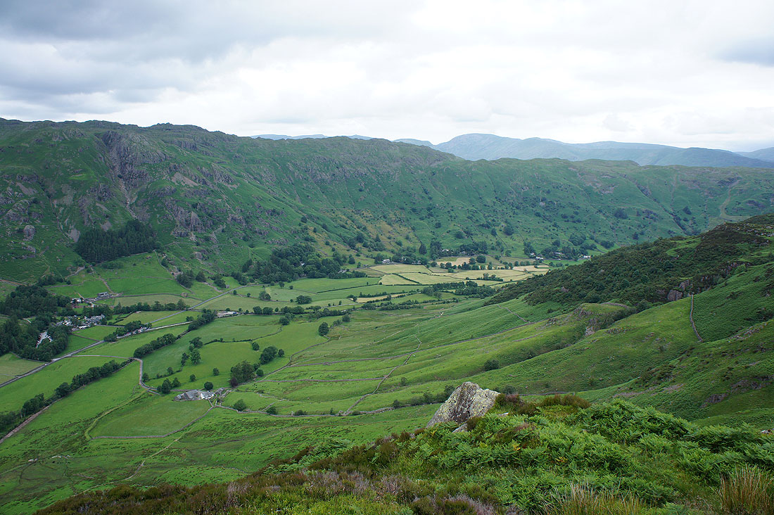
Great Langdale
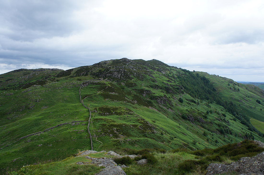
Lingmoor Fell
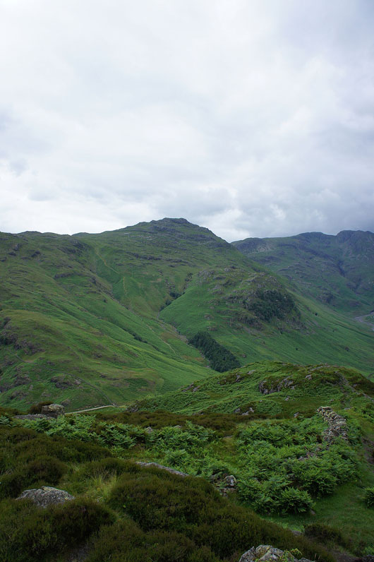
Pike o'Blisco
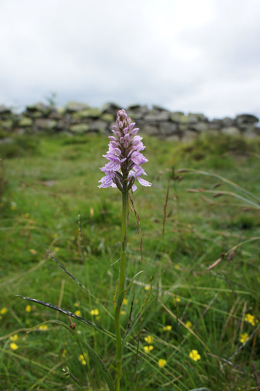
As we made our way down I came across this Common Spotted Orchid. After much searching around we could find only one more. Tread carefully.
On the path down to the NT camp site
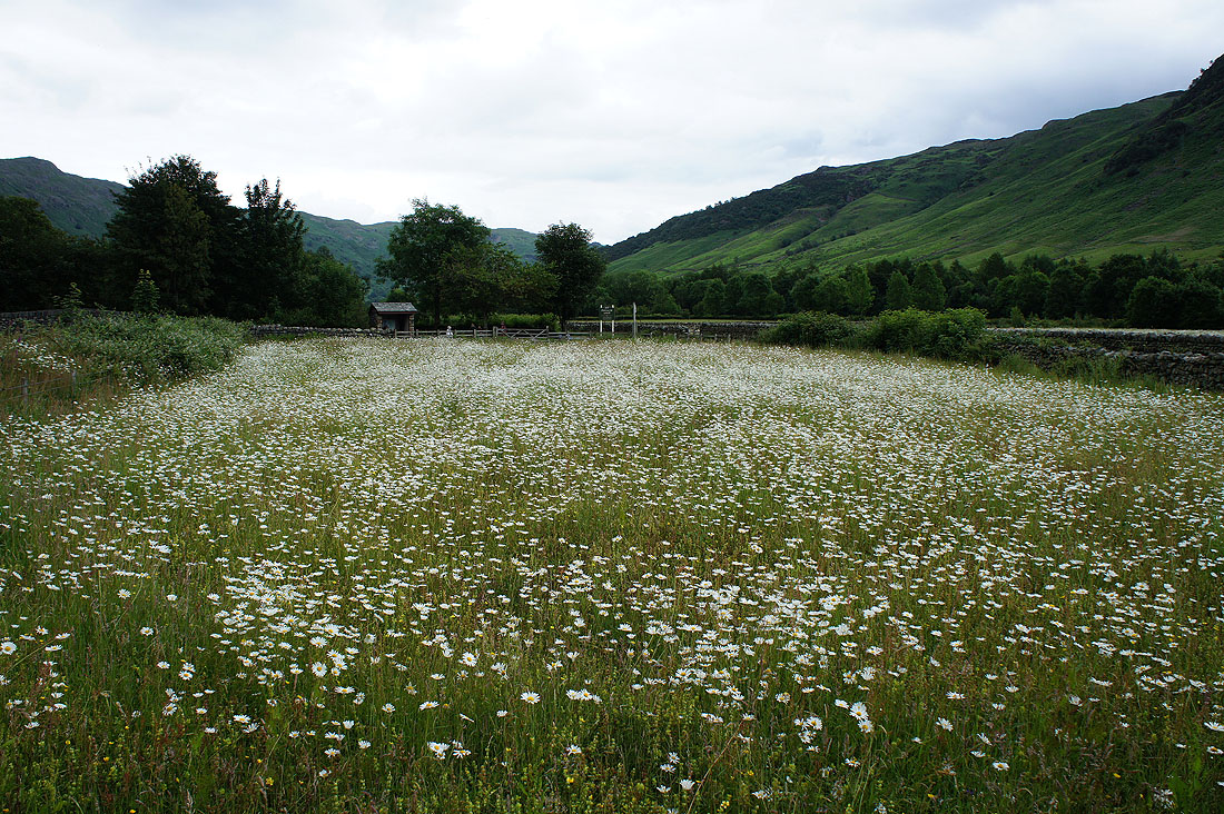
A field full of Oxeye daisies at the Old Dungeon Ghyll. I could see them from up on Side Pike, it looked like it had snowed.
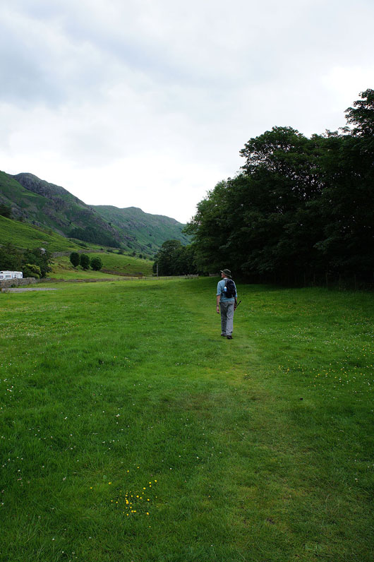
A short walk back to where we're parked at Stickle Barn
