28th June 2021 - Ingleborough
Walk Details
Distance walked: 11.8 miles
Total ascent: 2355 ft
OS map used: OL2 - Yorkshire Dales, Southern & Western areas
Time taken: 6.5 hrs
Route description: Clapham-Clapdale Drive-Trow Gill-Gaping Gill-Little Ingleborough-Ingleborough-Simon Fell-Lord's Seat-Dales High Way-Long Scar-Crummack Farm-Crummack Lane-Thwaite Lane-Clapham
I've booked the day off work and since it's forecast to be a lovely summer's day I thought that I'd have a walk up Ingleborough from Clapham. During the past few months I've been reluctant to go anywhere that might be too busy, and on a fine summer's day during a weekend Ingleborough definitely would be. Not on weekday though, and while I certainly didn't have the place to myself, it was far from crowded, and there were just a dozen or so people on the summit at the same time as me. This route from Clapham is very familiar to me and is by far the most popular starting point for my ascents of Ingleborough, and to mix things up a little I made changes to it, taking a new way down from Simon Fell, and adding to it by taking the bridleway down Crummackdale. After a sunny morning the cloud built up a little during the afternoon, on what was a very warm and pretty humid day.
From the NP car park in Clapham I walked up Church Avenue and Riverside to the entrance to the Ingleborough Hall Estate. After paying my entry fee I followed Clapdale Drive north through the estate and then up to Ingleborough Cave, where I picked up the path up Trow Gill and onto the open moor. The path up Little Ingleborough was then taken, with a brief diversion to see Gaping Gill, and then on up to the summit of Ingleborough, where I stopped for lunch. After this break I made my way to the eastern end of the summit plateau and took the path down and up to the top of Simon Fell. From the top of Simon Fell I then made my way to the eastern end of the summit, crossed the stiles over a couple of walls, and headed south to the cairn on the Lord's Seat top of Simon Fell. After taking in the view I crossed back over the second stile and followed the wall south down to the Dales High Way path across Simon Fell Breast, which I took and followed down past the ruin of a shooting hut, and then south to Long Scar and down to Crummack Farm and onto the bridleway down Crummackdale to Crummack Lane. I then walked down Crummack Lane until I reached the track of Thwaite Lane on the right, and following this west took me back to Clapham.
Route map
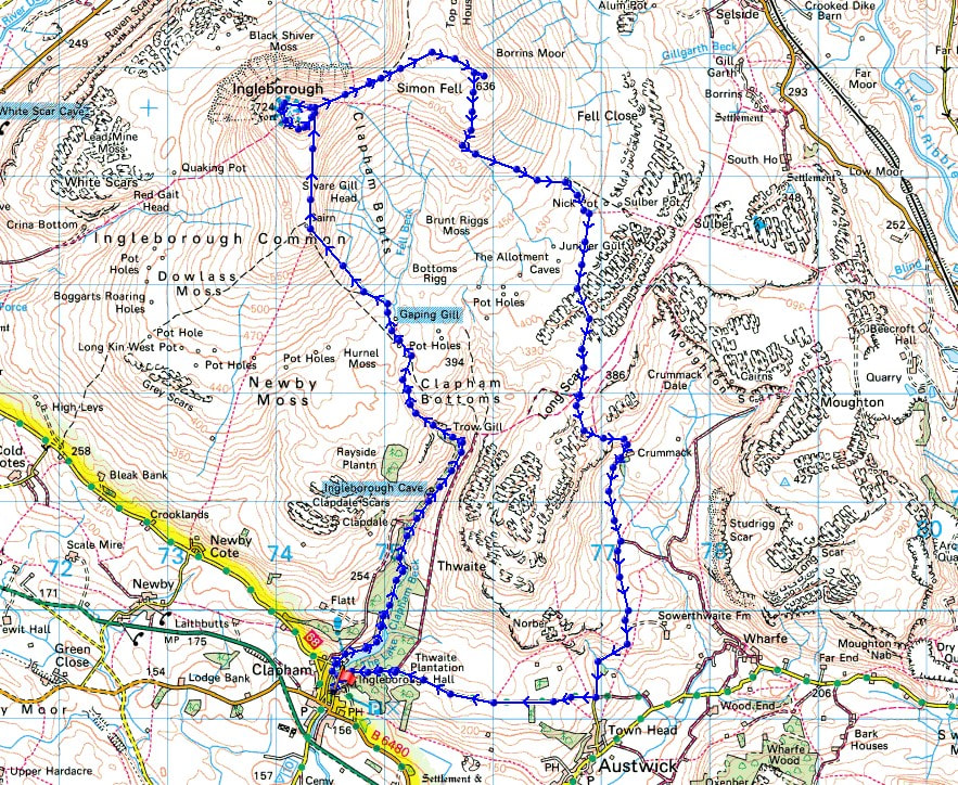
© Crown copyright. All rights reserved. License number PU 100034184.
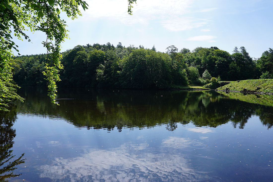
The Lake, in the Ingleborough Hall estate
|
|
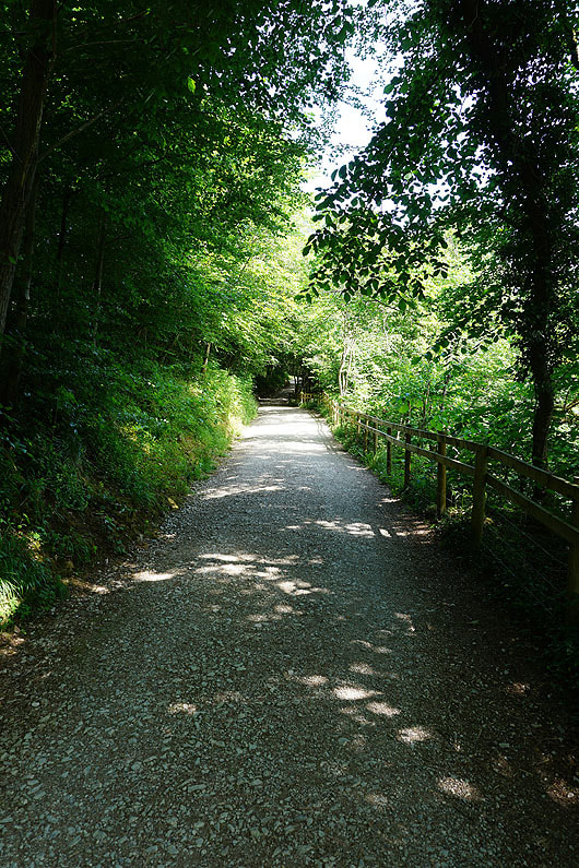
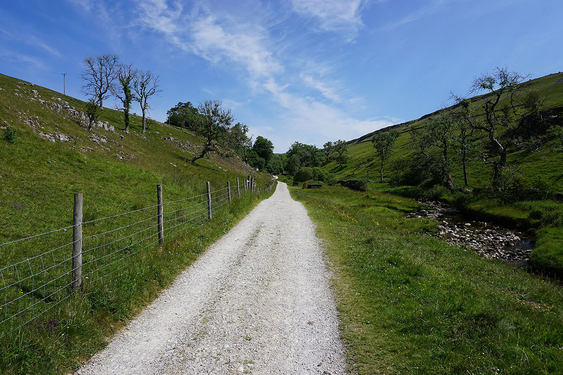
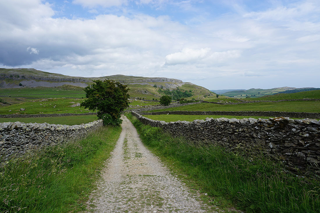
On Clapdale Drive through the Ingleborough Hall estate..
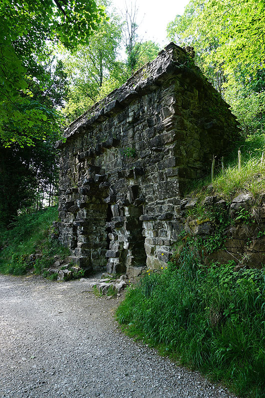
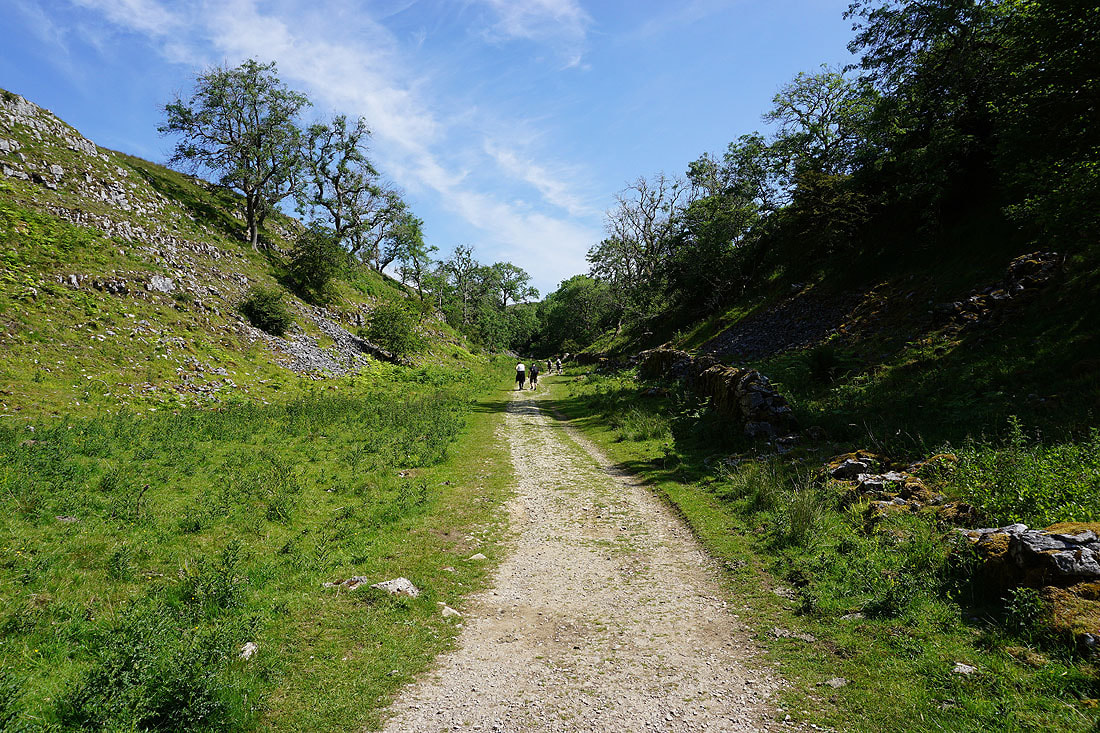
On the path past Ingleborough Cave and up Trow Gill...
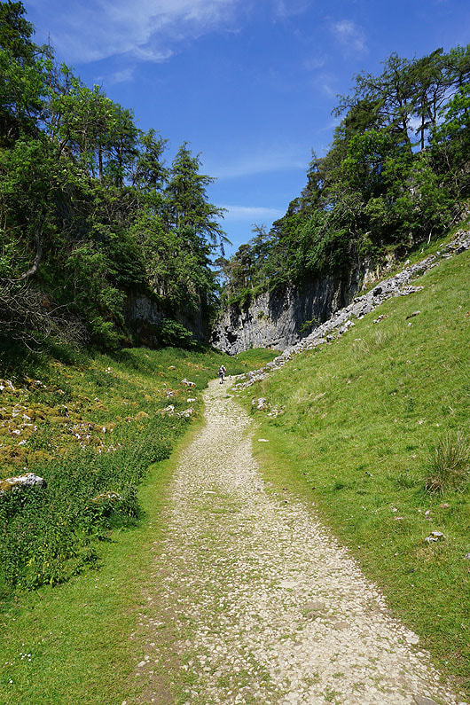
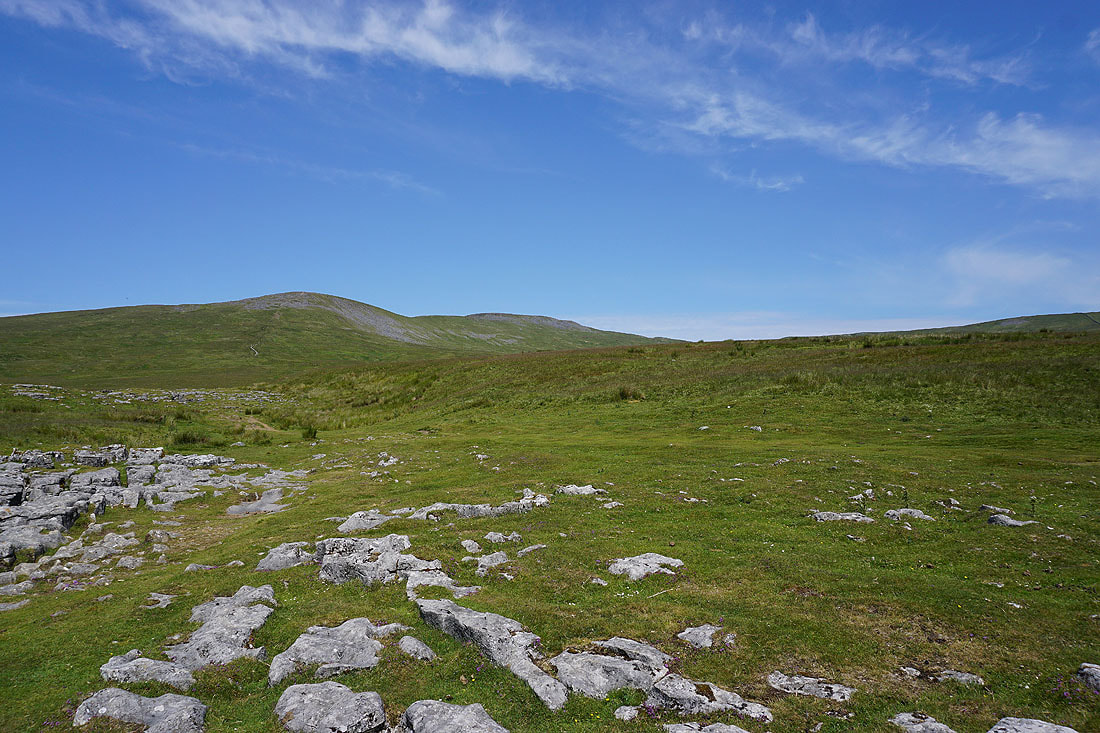
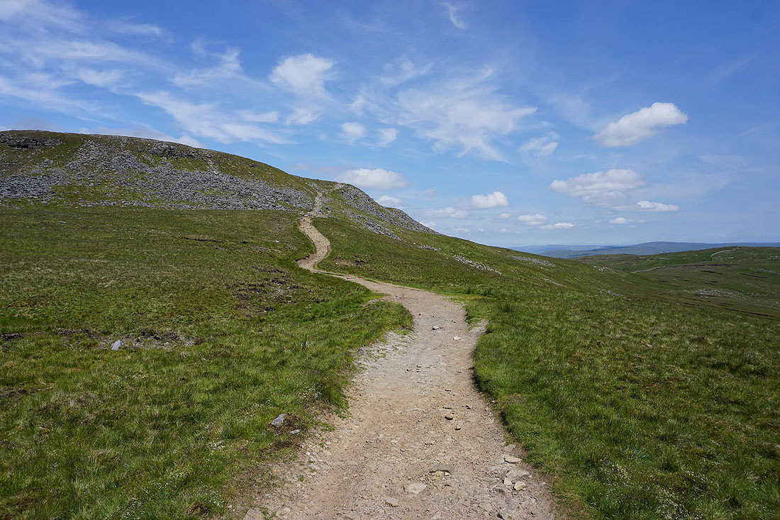
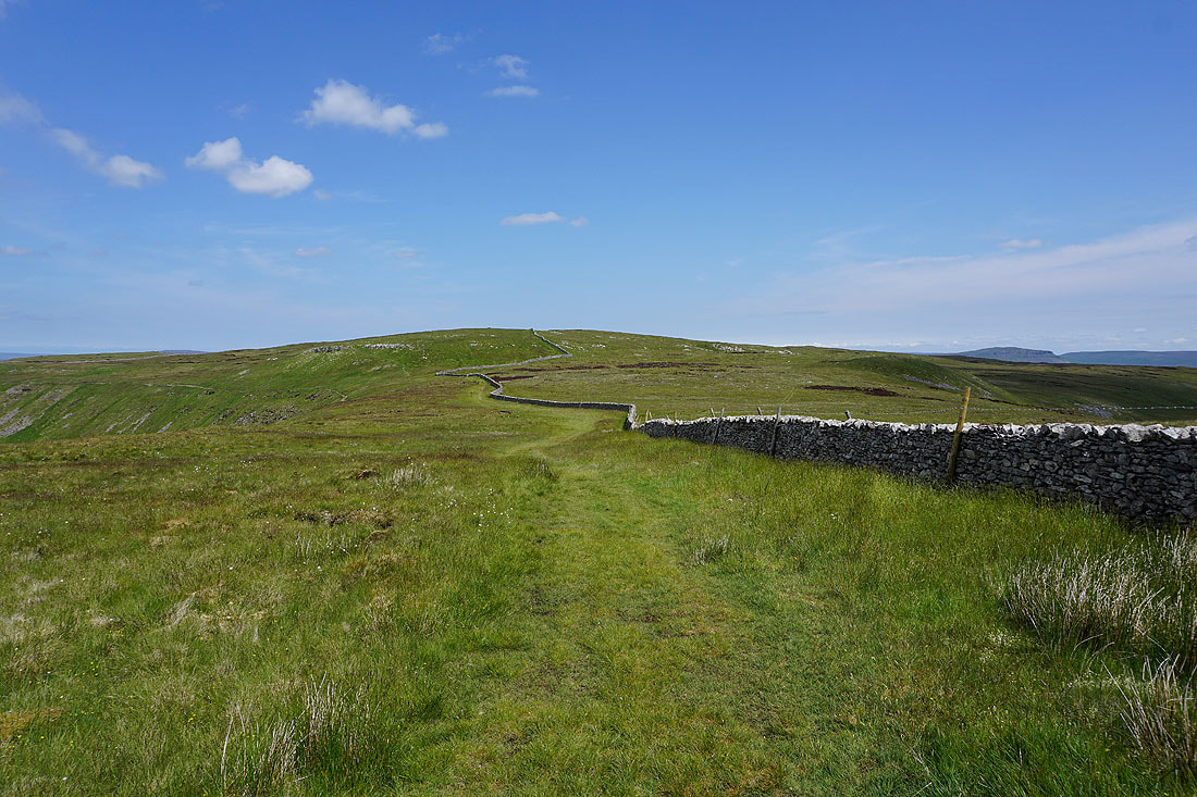
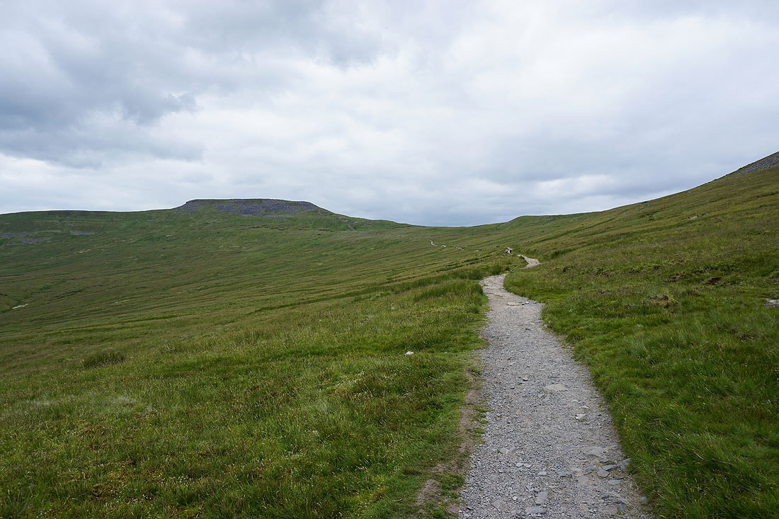
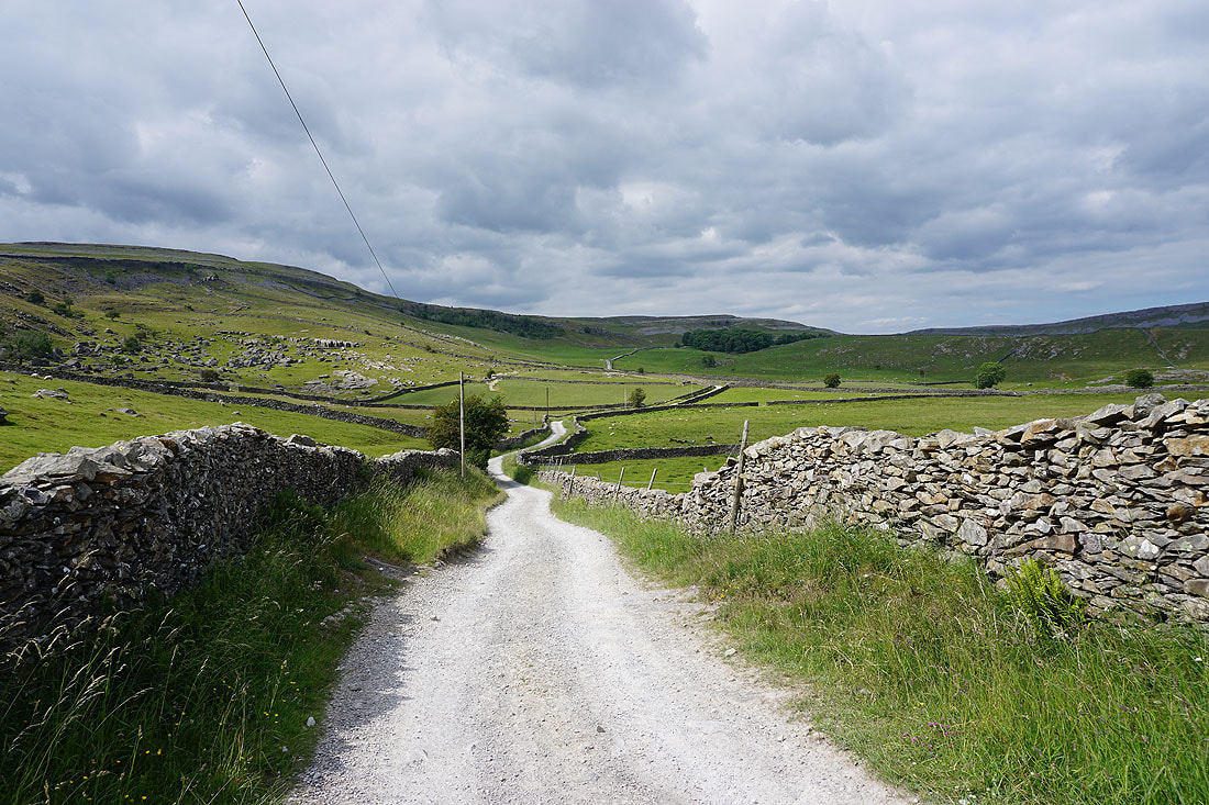
Out of Trow Gill and onto the open moor and Ingleborough soon comes into view..
|
|
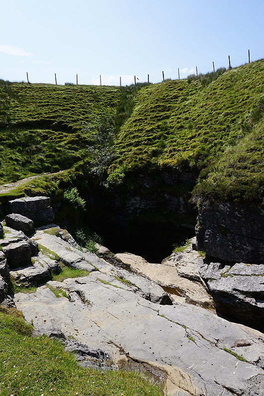
The entrance of Gaping Gill..
Looking back to Penyghent, Fountains Fell and Rye Loaf Hill as I start the ascent of Ingleborough
Higher up and I have a view down Ribblesdale to Pendle Hill on the right
Ingleborough from the top of Little Ingleborough
Looking across Ribblesdale to Penyghent and Fountains Fell
and south to Pendle Hill
The Forest of Bowland in the distance
Hazy Lake District fells in the far distance beyond the shoulder of nearby Gragareth
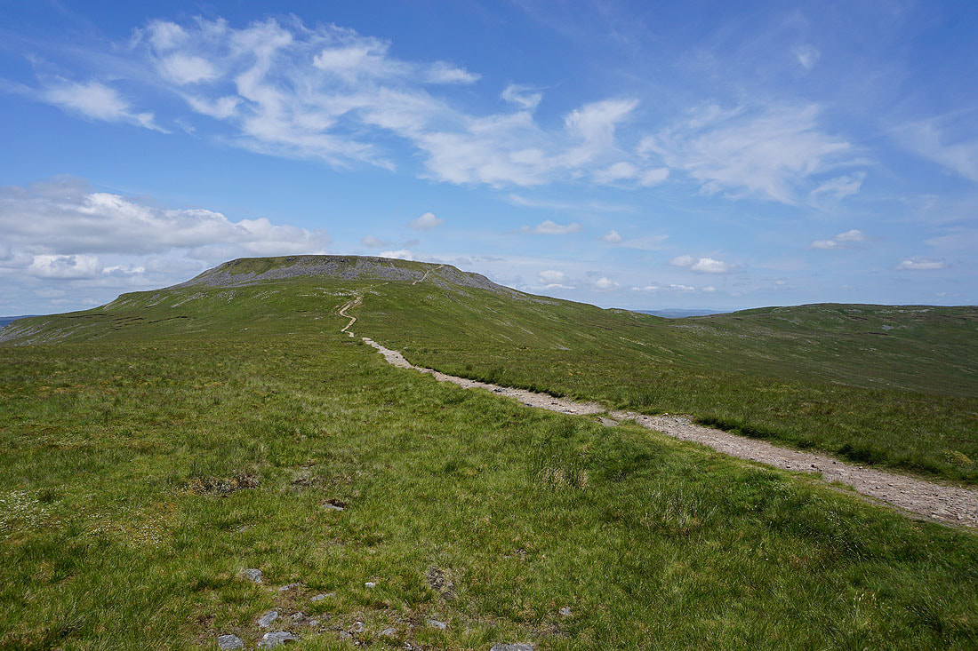
Heading for the summit of Ingleborough..
Looking back to Little Ingleborough with Pendle Hill in the distance
On the eastern edge of the summit plateau, and looking northeast to Dodd Fell Hill, Yockenthwaite Moor and Buckden Pike in the distance beyond the nearby Simon Fell
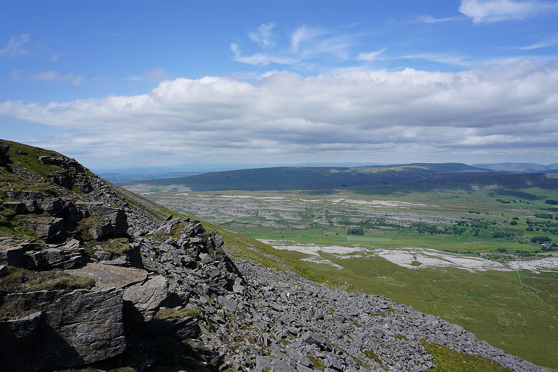
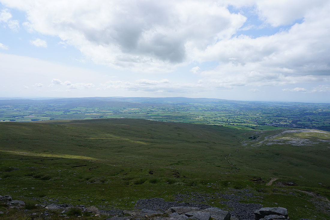
Penyghent, Fountains Fell and Rye Loaf Hill on the other side of Ribblesdale
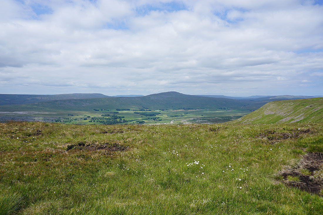
Making my way anticlockwise along the edge of the summit plateau. Looking across Chapel-le-Dale to Whernside and the Ribblehead Viaduct, with the Howgills, Wild Boar Fell, High Seat, Great Knoutberry Hill, and Great Shunner Fell in the distance.
Lake District fells in the far distance beyond Gragareth and Great Coum, with Twisleton Scars on the other side of Chapel-le-Dale
Looking east along the northern edge of the plateau to Yockenthwaite Moor, Buckden Pike, Plover Hill and Penyghent
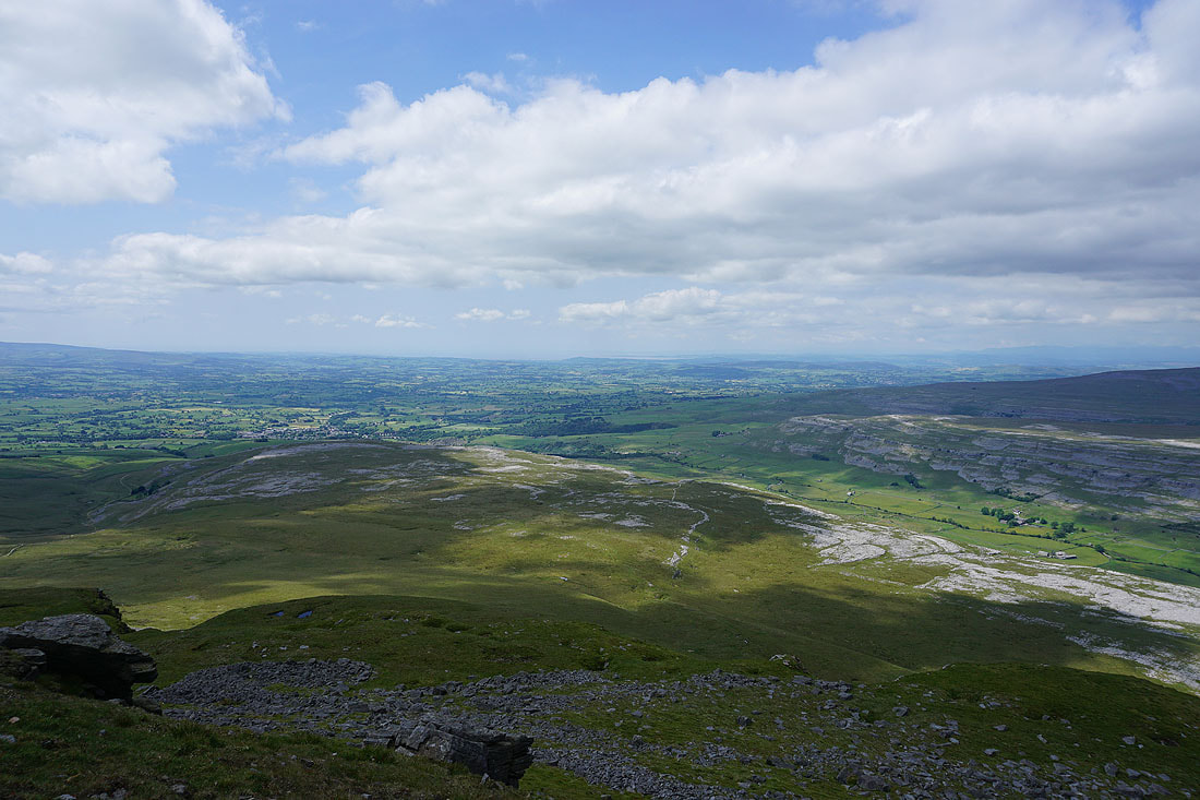
Ingleton below with Morecambe Bay in the distance
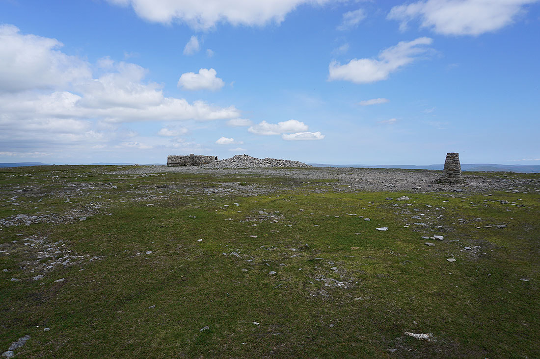
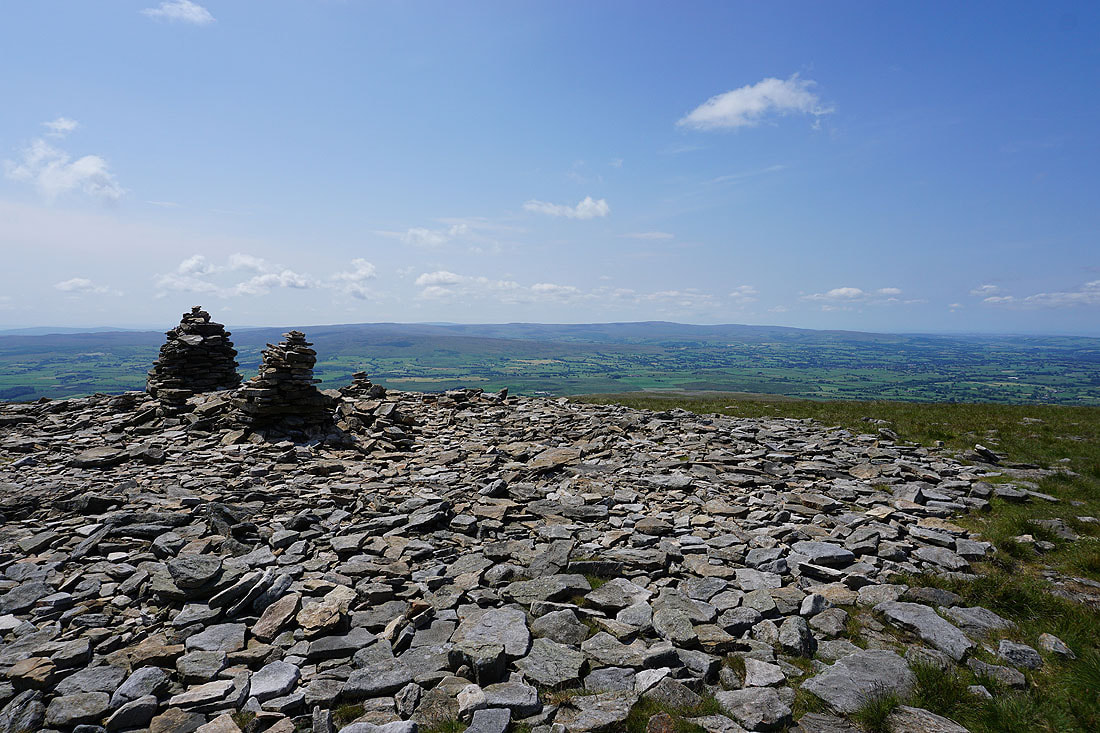
The cross shelter, summit cairn, and trig point
On the southern edge of the plateau. Looking southwest to the Forest of Bowland.
and across Ribblesdale to Penyghent, Fountains Fell and Rye Loaf Hill..
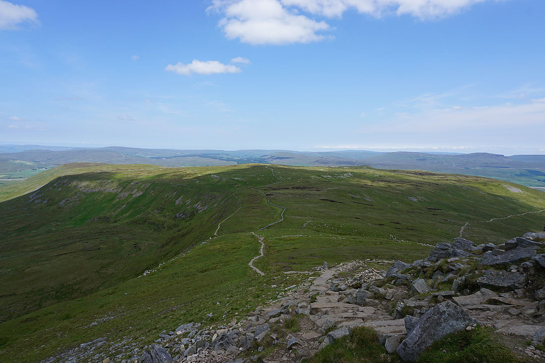
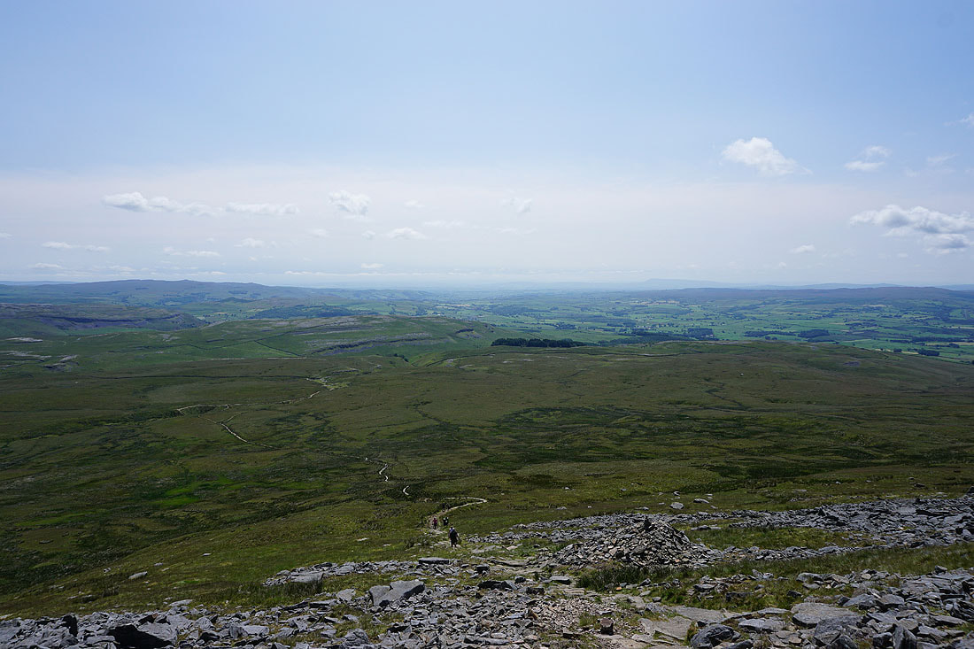
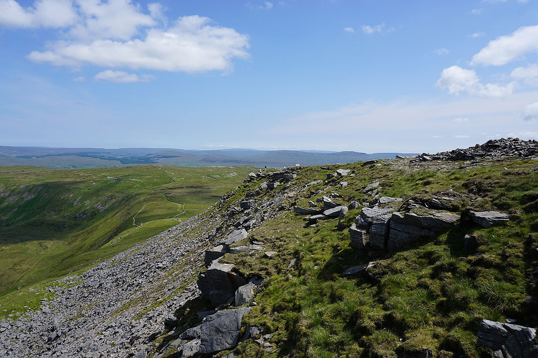
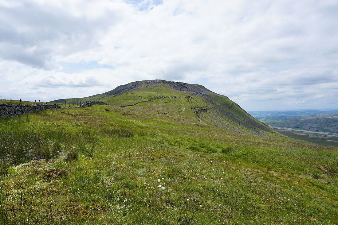
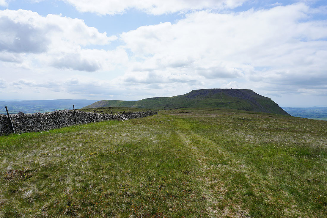
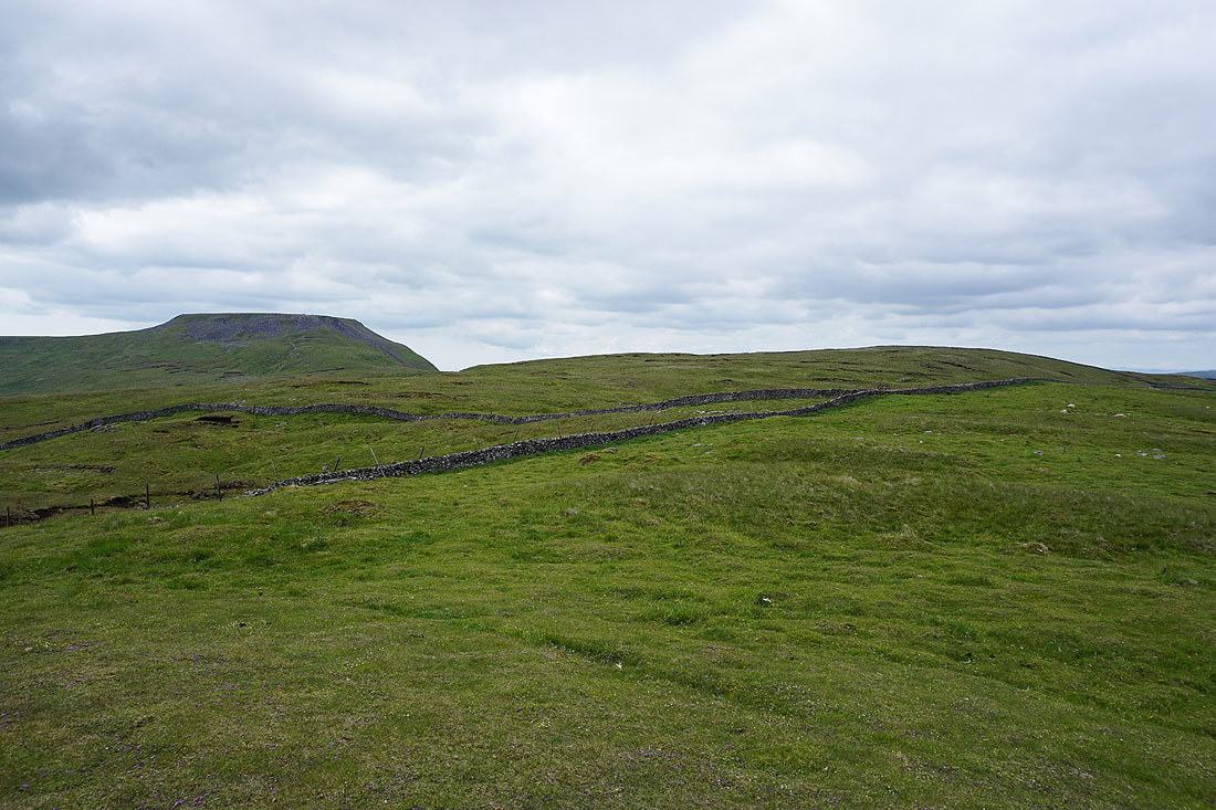
Leaving Ingleborough behind and heading for Simon Fell..
Great Coum and Whernside to my left
Looking back to Ingleborough
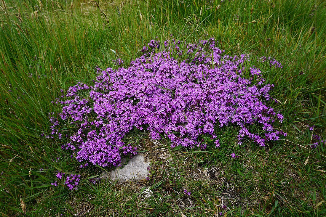
A large patch of Wild Thyme
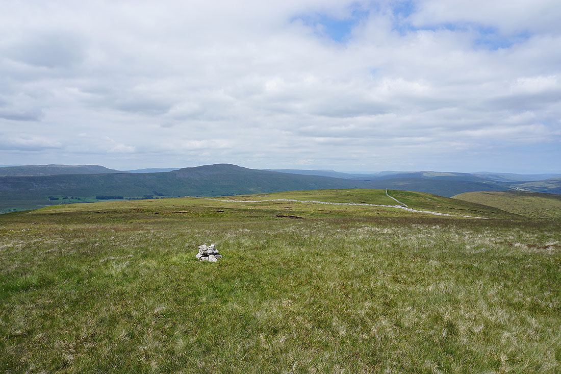
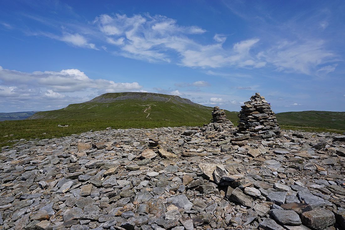
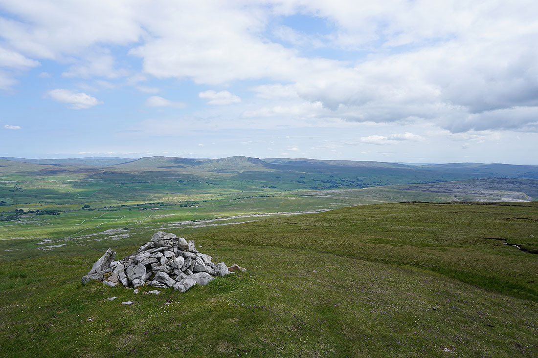
Great Coum, Whernside and Great Knoutberry Hill from the very modest cairn that marks the top of Simon Fell
Looking back to Ingleborough
Heading north and then east towards the Lord's Seat top of Simon Fell..
A patch of limestone provides a foreground for a view towards a dark Whernside
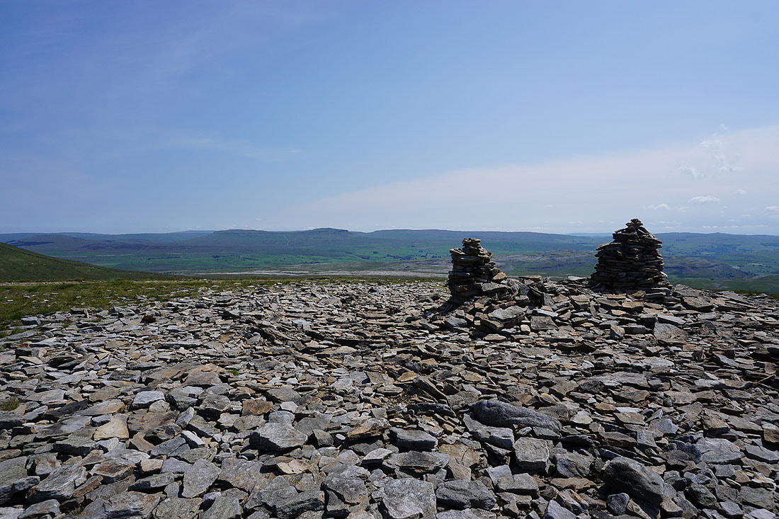
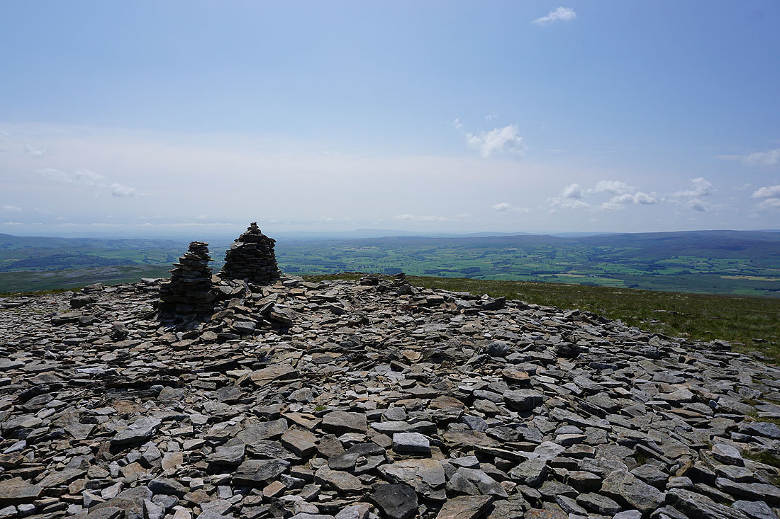
At the cairn on the Lord's Seat top. Looking across Ribblesdale to Plover Hill and Penyghent.
Ingleborough and the top of Simon Fell
I can just about make out Pendle Hill in the distance
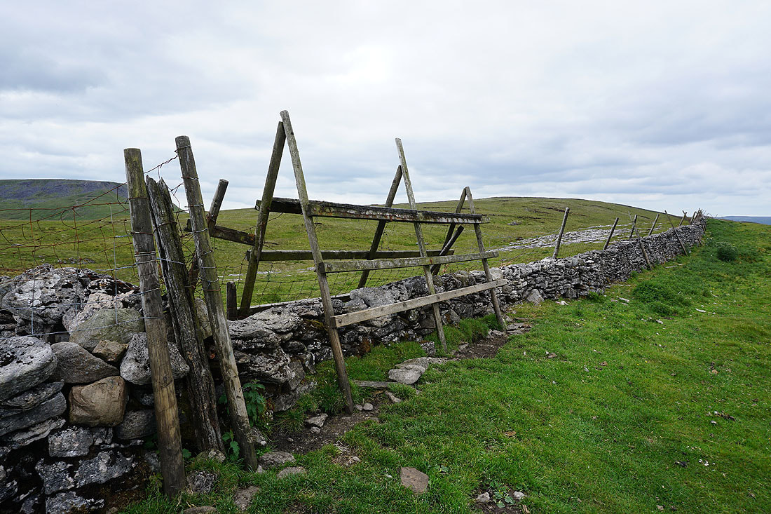
Is there another stile like this in the Dales? It's one occasion when being as tall as I am is an advantage.
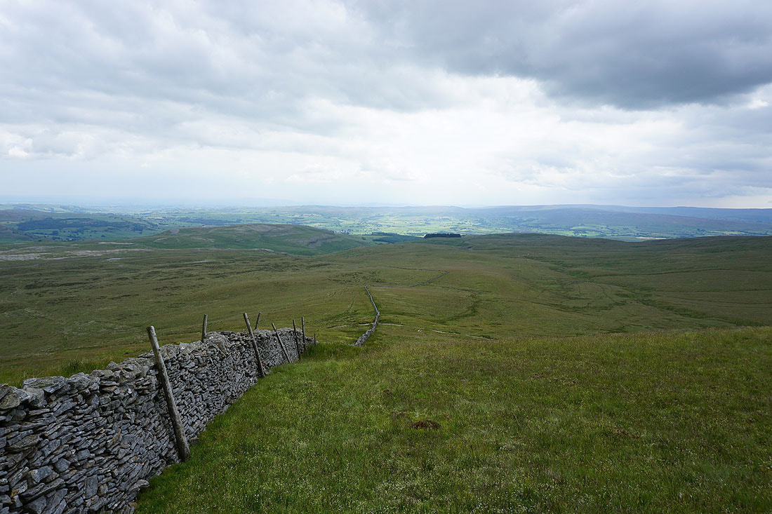
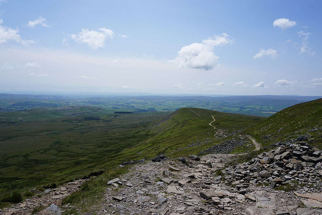
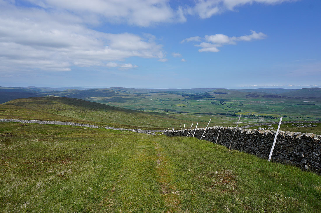
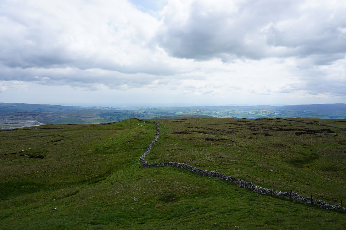
Following the wall south off Simon Fell down to the path across Simon Fell Breast
Ingleborough as I reach the path
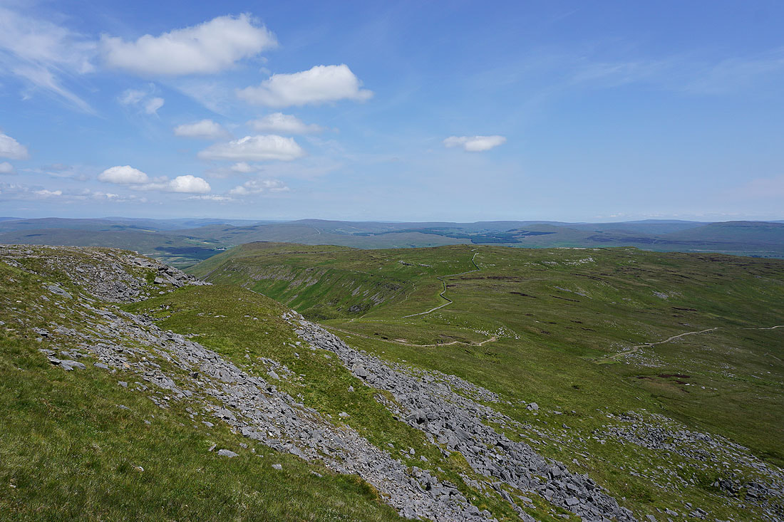
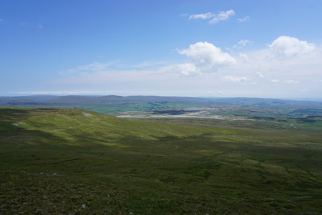
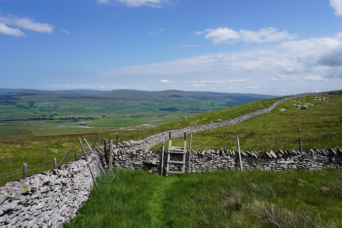
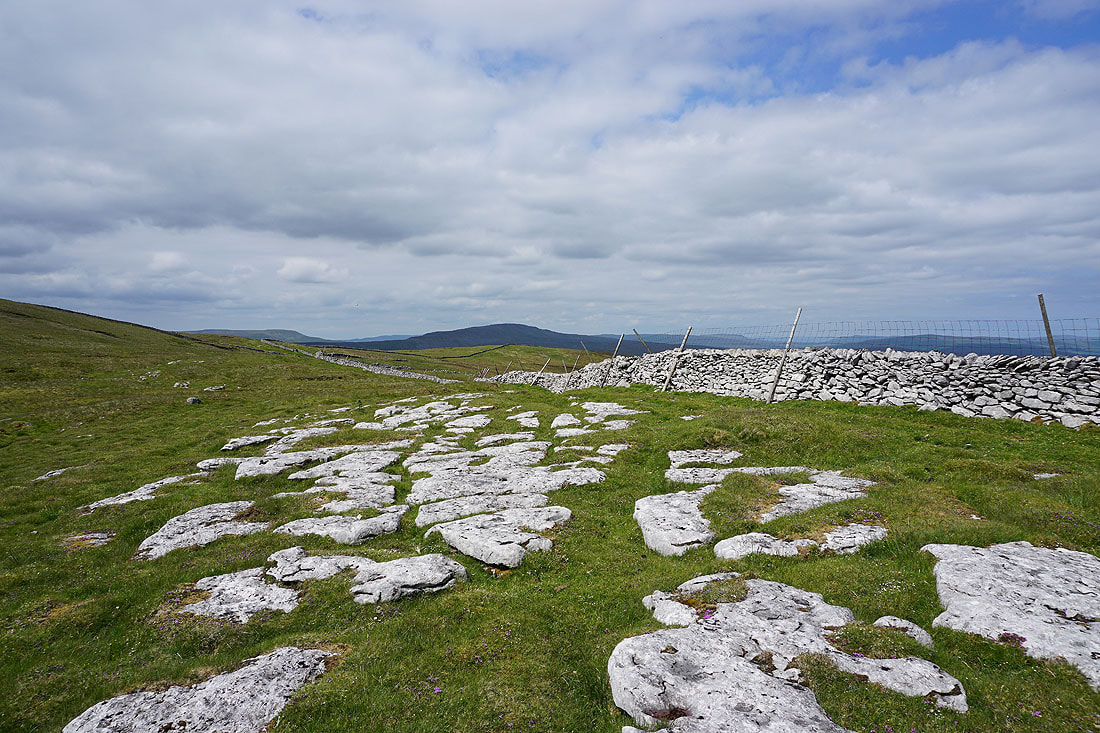
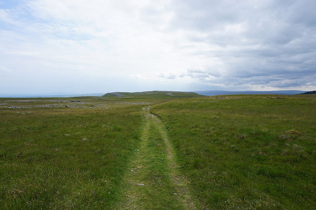
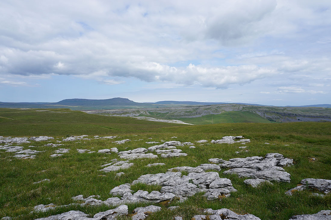
Penyghent, Fountains Fell and Rye Loaf Hill in the distance as I follow the path towards the limestone pavements of Sulber and Moughton
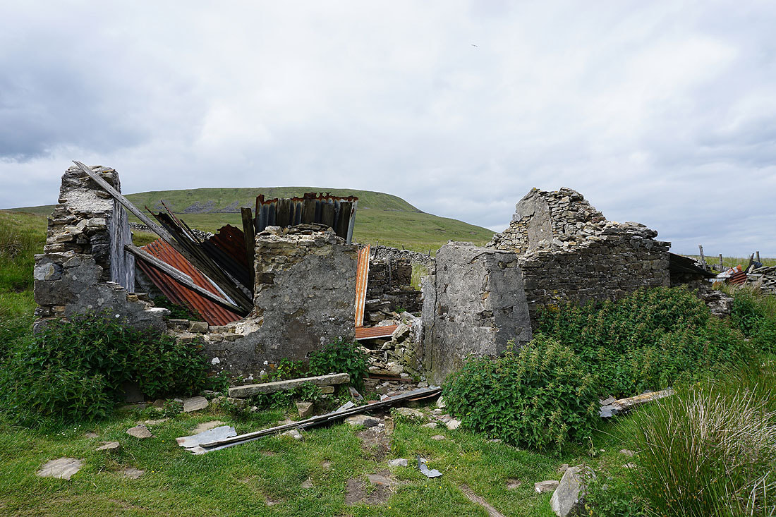
Past the ruins of the shooting hut
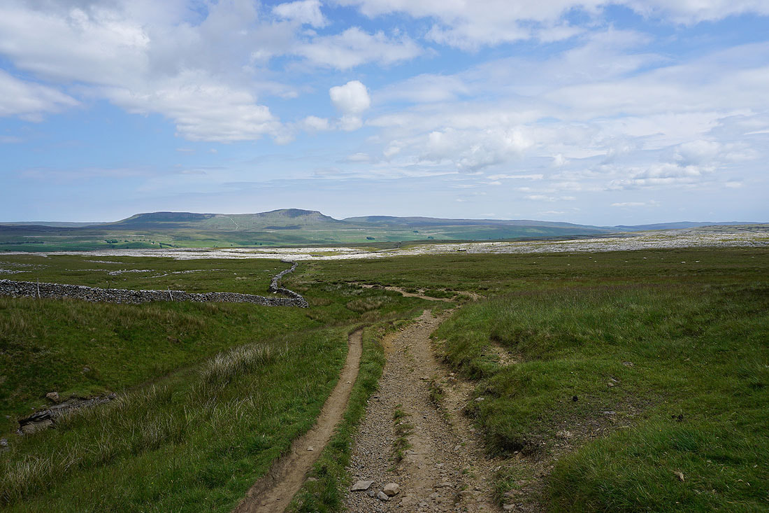
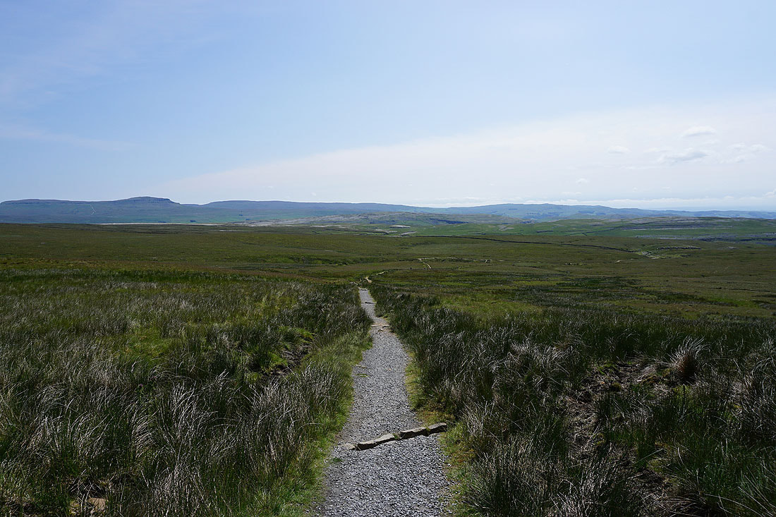
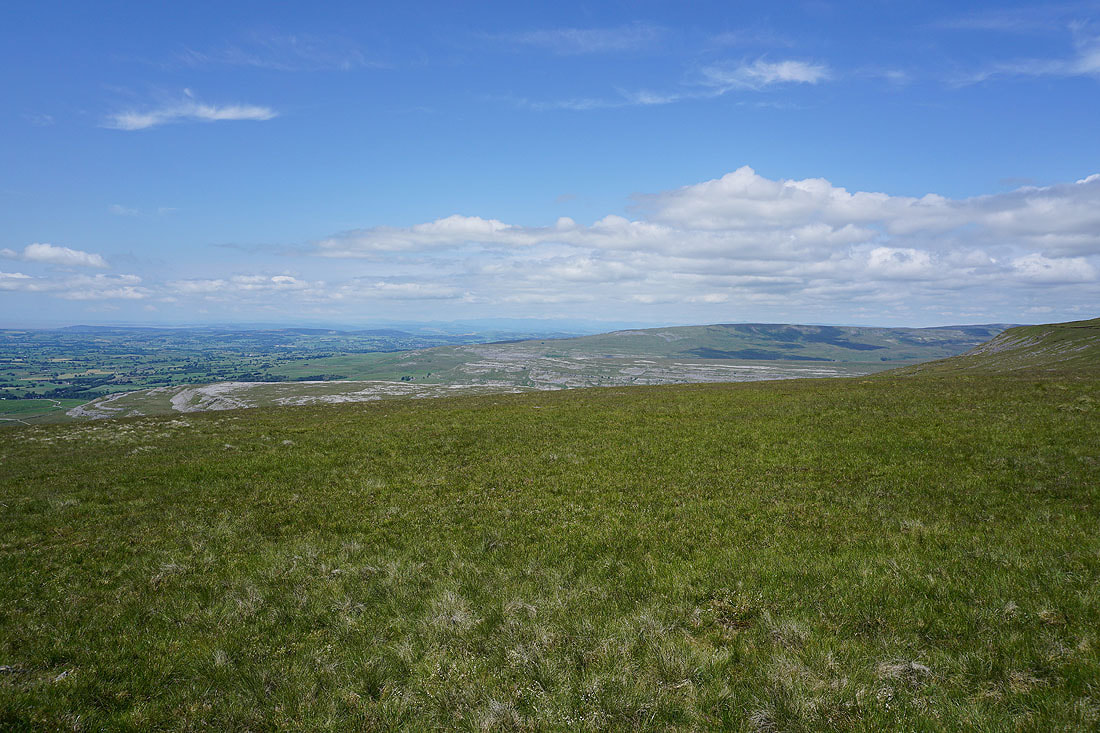
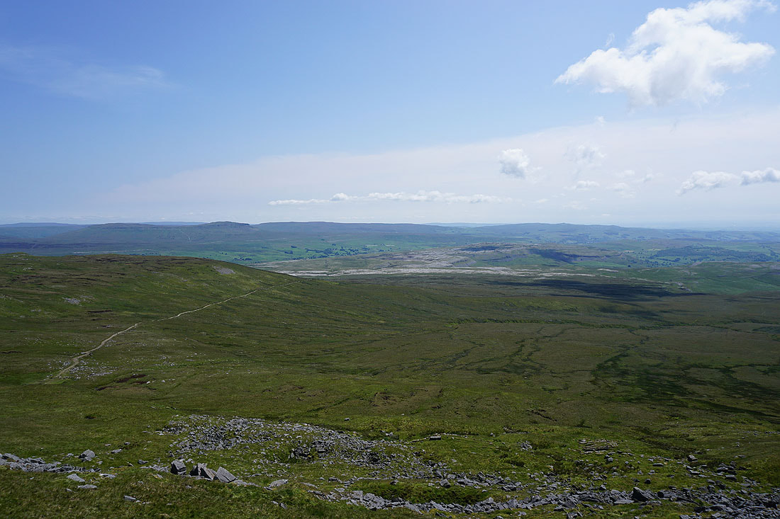
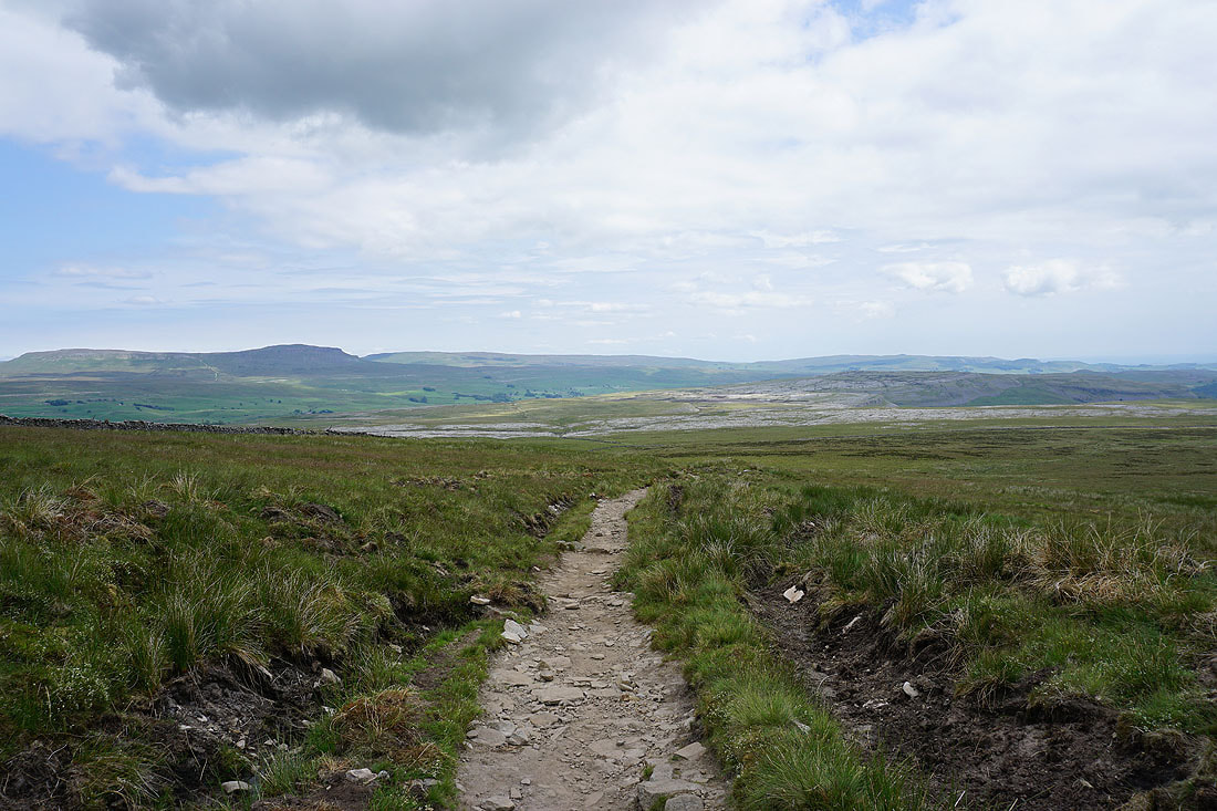
Penyghent and Fountains Fell in sunshine on the other side of Ribblesdale. The path continues to Sulber Nick and Horton, but I leave it and take the one to Long Scar..
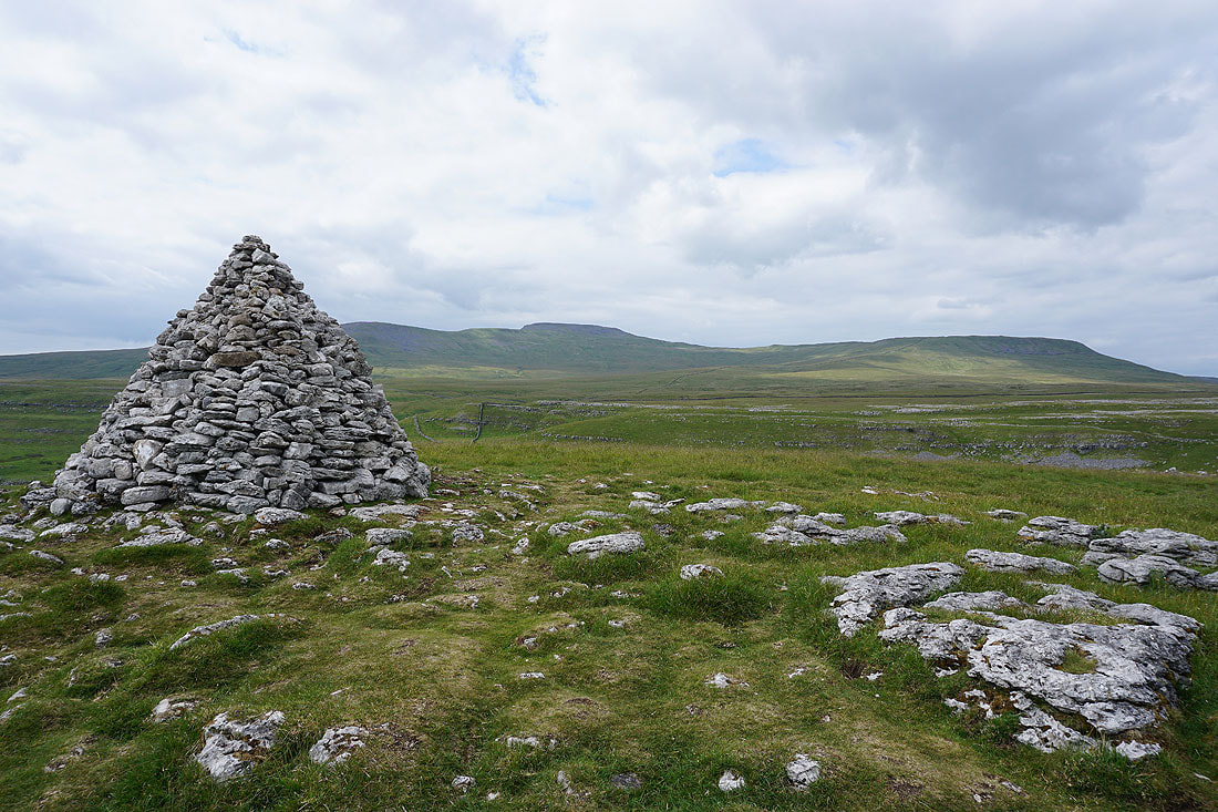
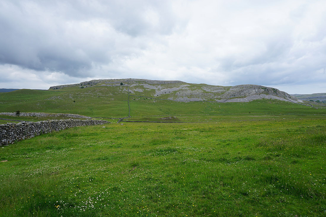
Ingleborough and Simon Fell from Long Scar
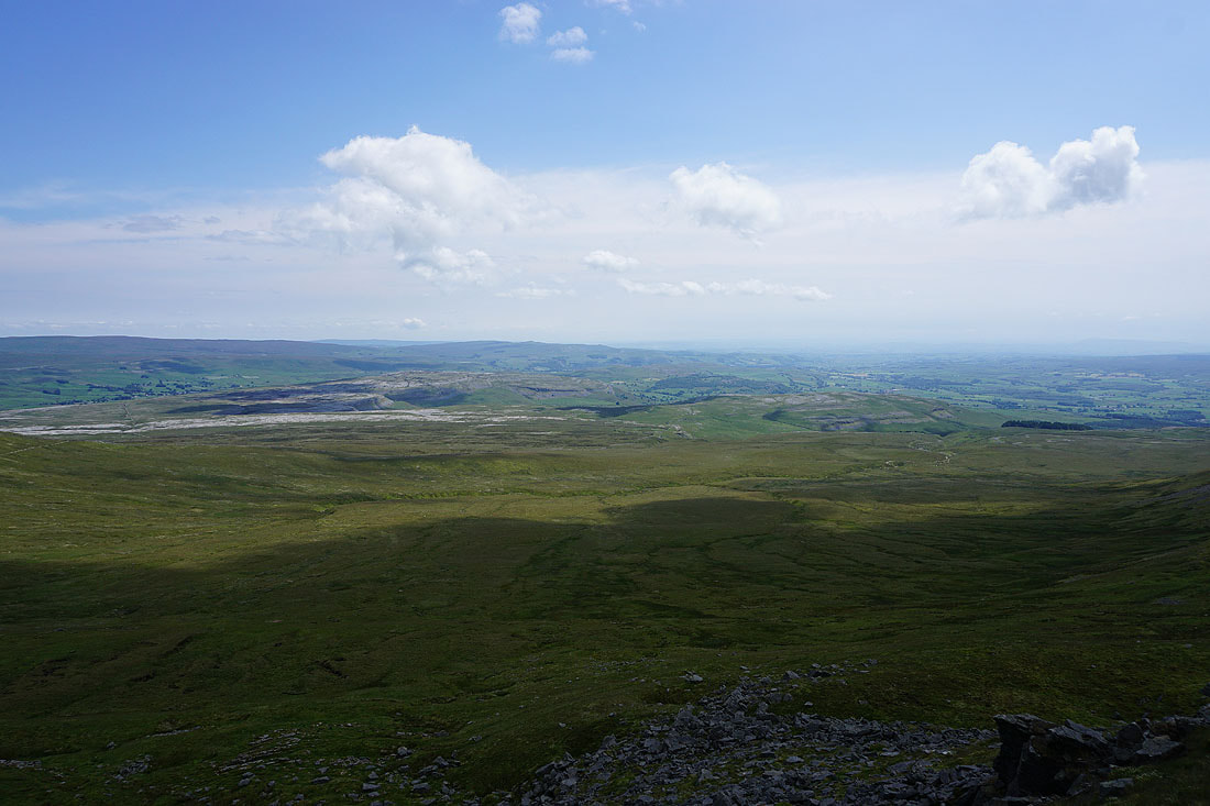
Penyghent, Fountains Fell and Moughton
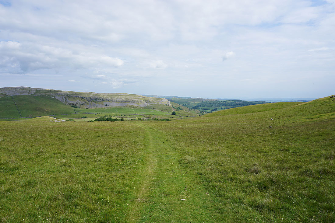
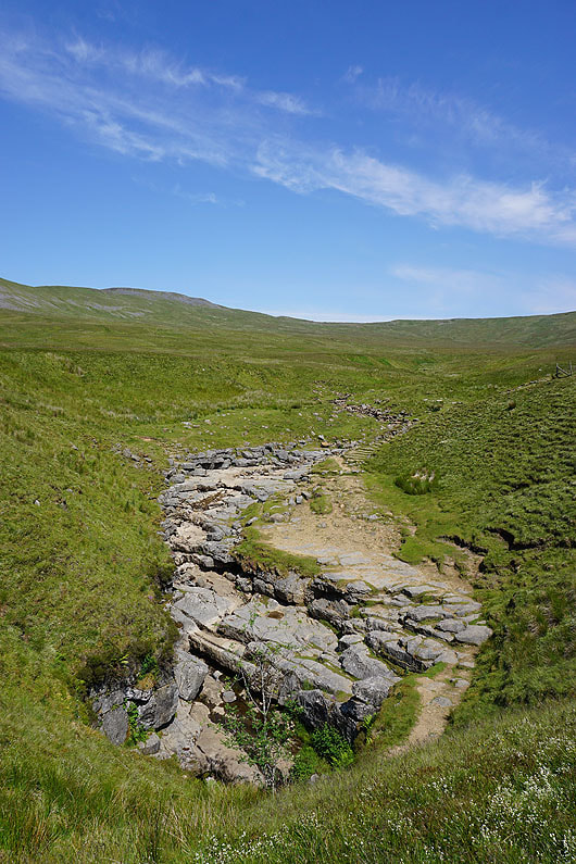
On the bridleway from Long Scar down into Crummackdale
Following the bridleway down Crummackdale from Crummack Farm..
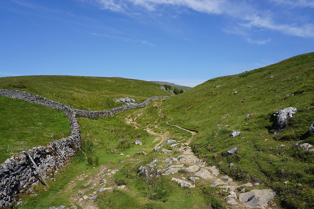
The bridleway to the hamlet of Wharfe. Not going that way though.
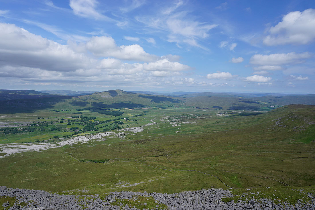
Looking back up Crummackdale. I like the contrast between the dark clouds and the sunlit foreground.
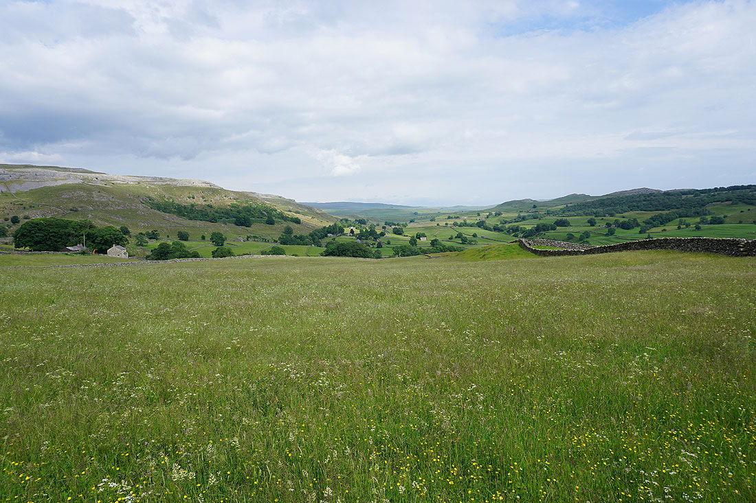
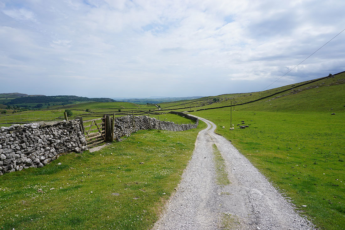
The view across Crummackdale from Crummack Lane
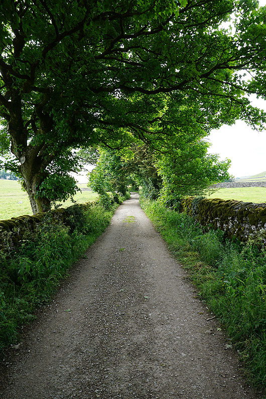
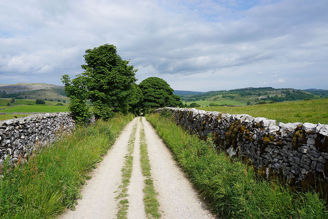
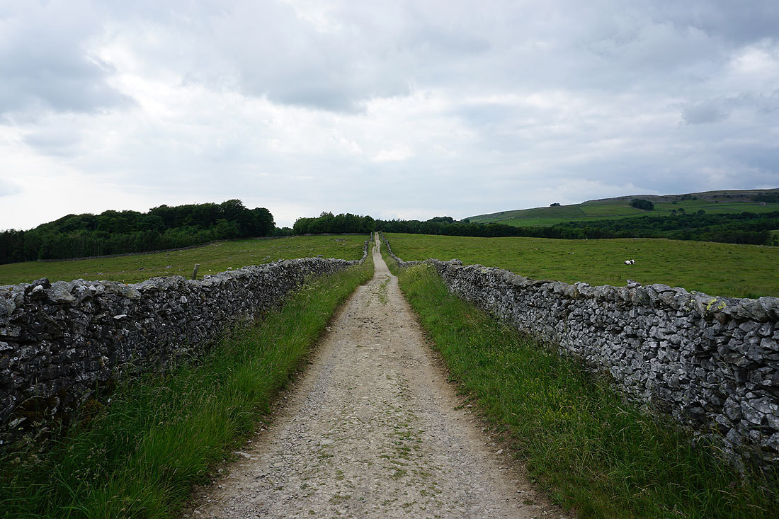
Onto the track of Thwaite Lane back to Clapham
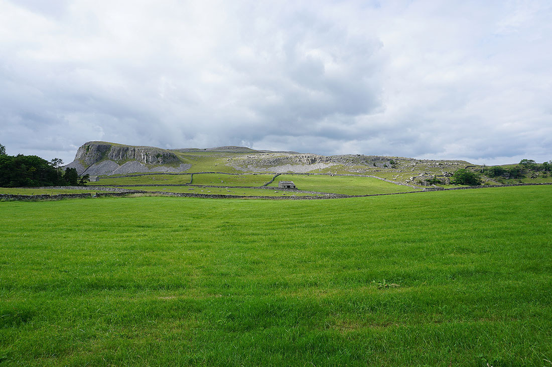
To my right, Robin Proctor's Scar and Nappa Scars
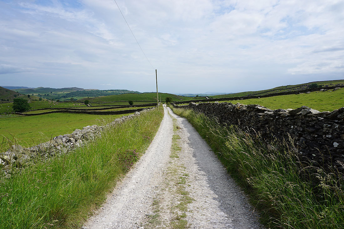
Looking back along Thwaite Lane
Thwaite and Robin Proctor's Scar
Heading west along Thwaite Lane
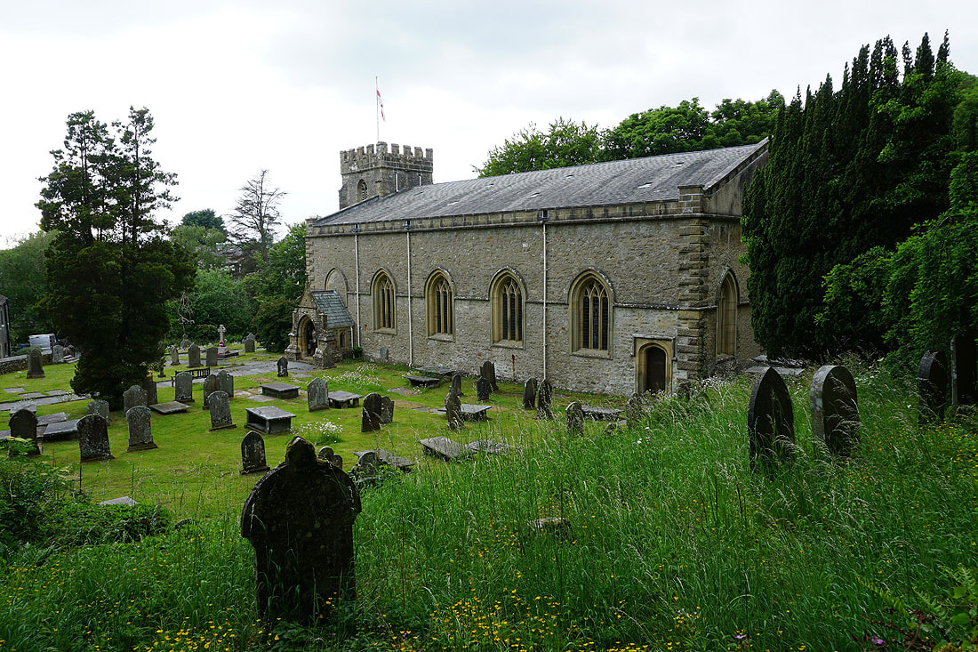
The church of St. James in Clapham