28th March 2016 - A wet walk from Wycoller
Walk Details
Distance walked: 6.2 miles
Total ascent: 784 ft
OS map used: OL21 - South Pennines
Time taken: 2.5 hrs
Route description: Wycoller-Bronte Way-Dean House Farm-Bronte Way-Gilford Clough-Meadow Bottom Farm-Hollin Hall-Far Wanless-Near Wanless Farm-Higher Stunstead-Great Thorn Edge Farm-Wycoller
It's not often that I've regretted heading out for a walk but I almost did today. I thought that it was brightening up after overnight rain started to clear way so I decided to drive to Wycoller and do a walk up Boulsworth Hill. Unfortunately the weather didn't play ball and after setting out with a bit of brightness in the sky it turned very gloomy as I approached the point where I was supposed to head up to the summit of Boulsworth Hill and it was clear that there was a heavy shower on the way. I'm glad that I decided not to climb to the top, there is no shelter up there and it would have been thoroughly unpleasant to say the least. It did mean that I arrived back in Wycoller earlier than I expected so I popped into the cafe for coffee and cake.
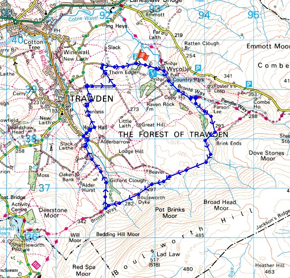
From the car park outside Wycoller I walked down into the hamlet and onto the Bronte Way. I followed this trail up to Dean House Farm, through its farmyard and onto the Pennine Bridleway (still the Bronte Way), which took me west below Boulsworth Hill. I left the trail for a footpath on the right down to Gilford Clough. This joins the end of an access road which I followed downhill towards Hollin Hall. When I reached its end at Boulsworth Road I turned left and then right onto an access road that heads down to and across Trawden Brook then to Far Wanless. From here I took the footpath to Near Wanless Farm, then the access road to Higher Tunstead and a footpath east then south to Great Thorn Edge Farm. A walk down its access road brought to me to the road back to the car park.
Route map
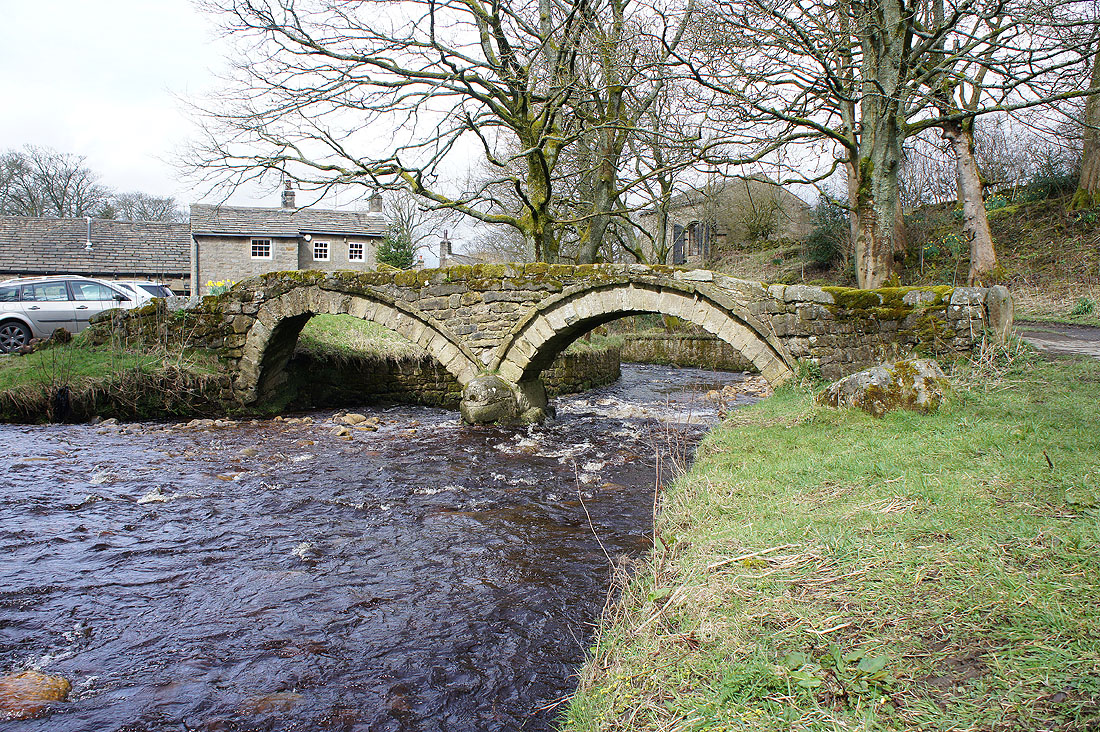
I couldn't pass the packhorse bridge without taking a photo of it
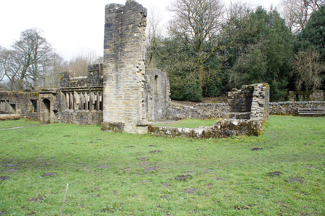
or the ruins of Wycoller Hall
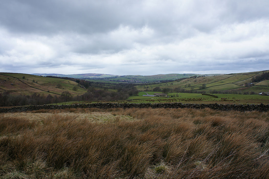
Wycoller Dean from the Bronte Way
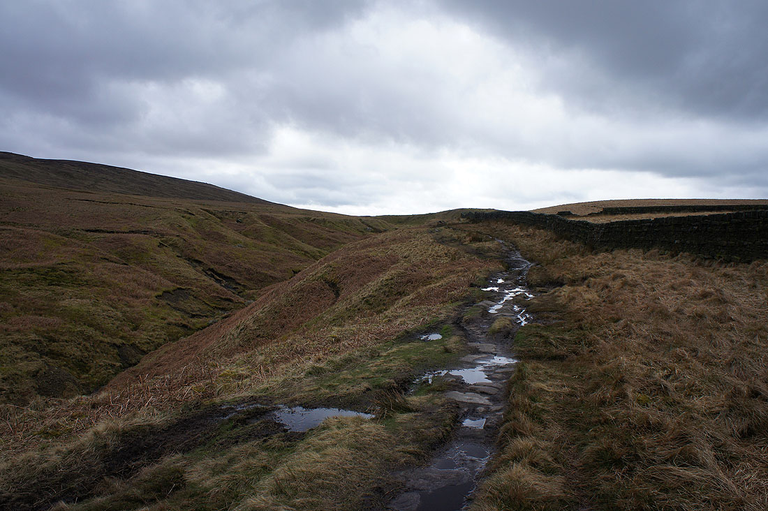
and on the path above Saucer Hill Clough
Boulsworth Hill's summit above..
..and it was here that I decided not to head up. I could see the very obvious dark cloud that was approaching.
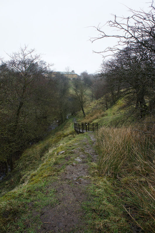
Down into Gilford Clough
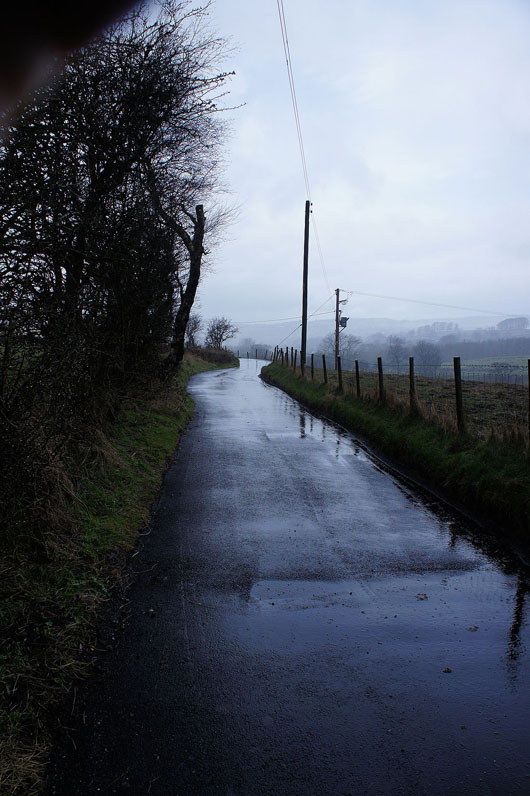
It's pouring down now
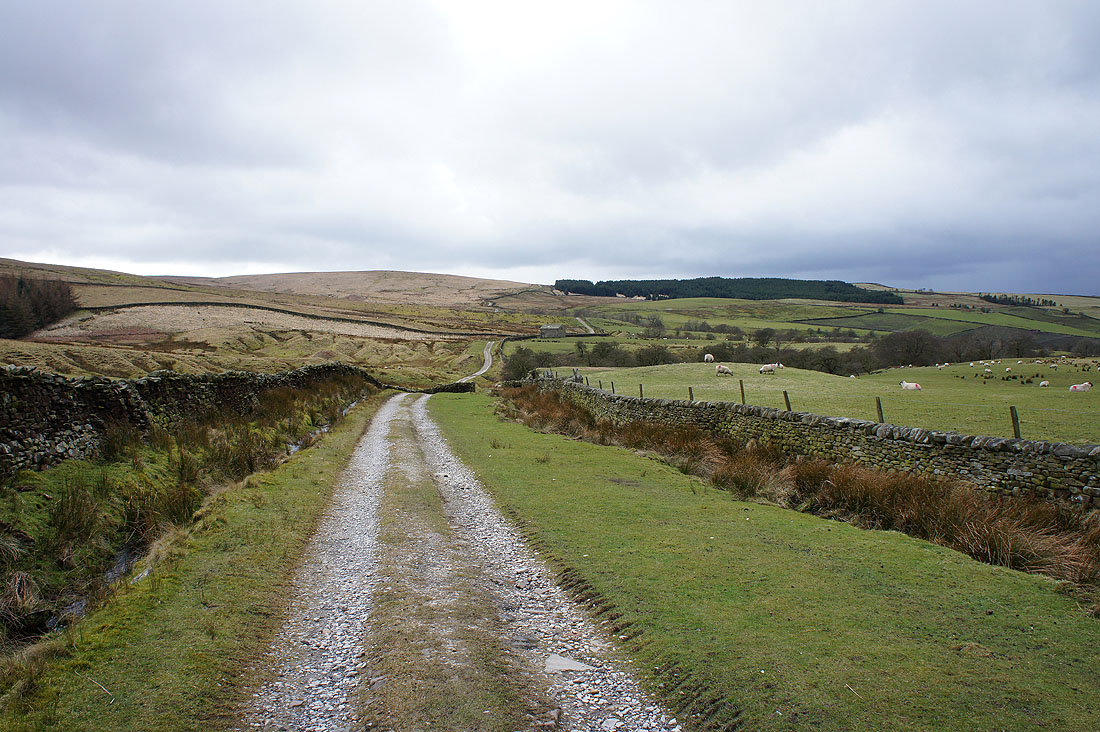
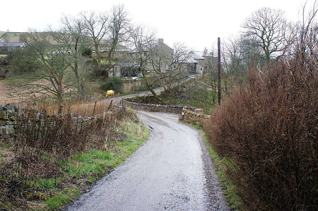
On the farm access road down to Trawden..
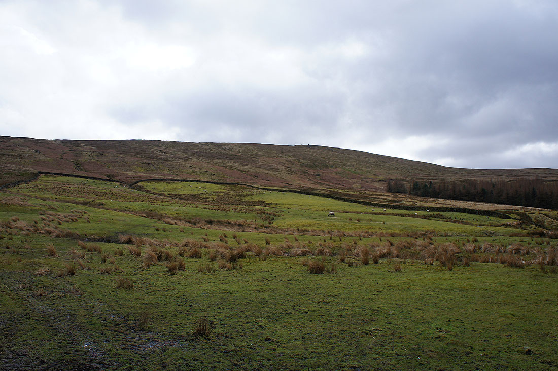
Boulsworth Hill as I look back on the track to Far Wanless Farm
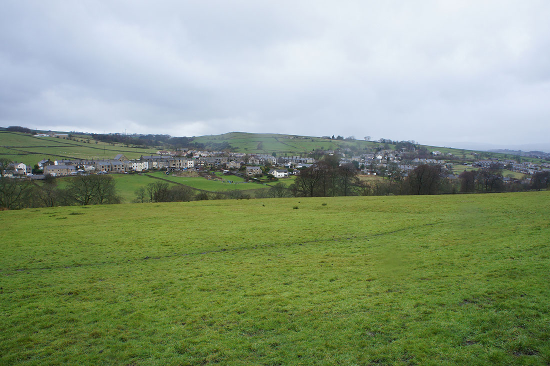
The village of Trawden
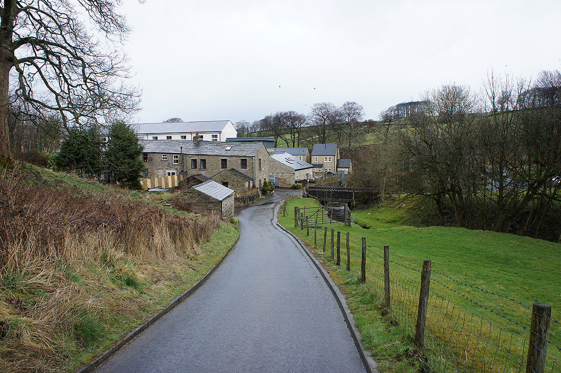
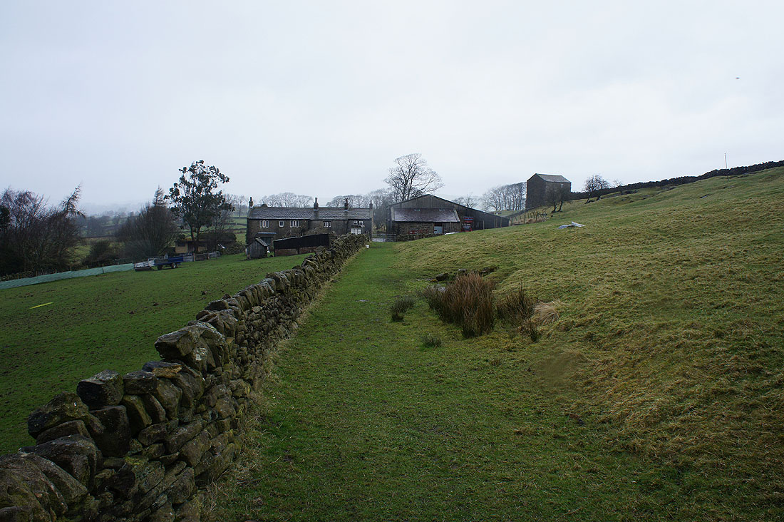
Approaching Near Wanless Farm
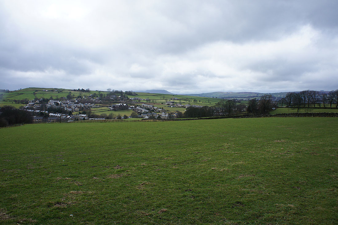
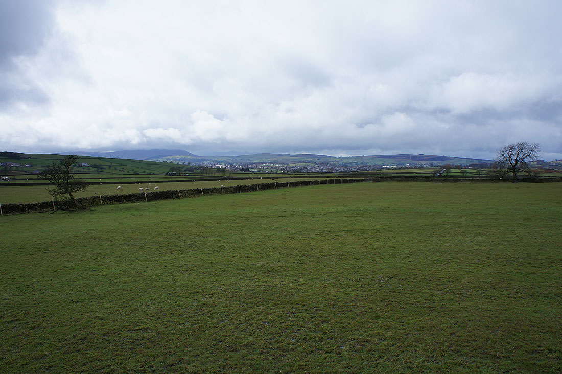
Trawden and a cloud topped Pendle Hill comes into view
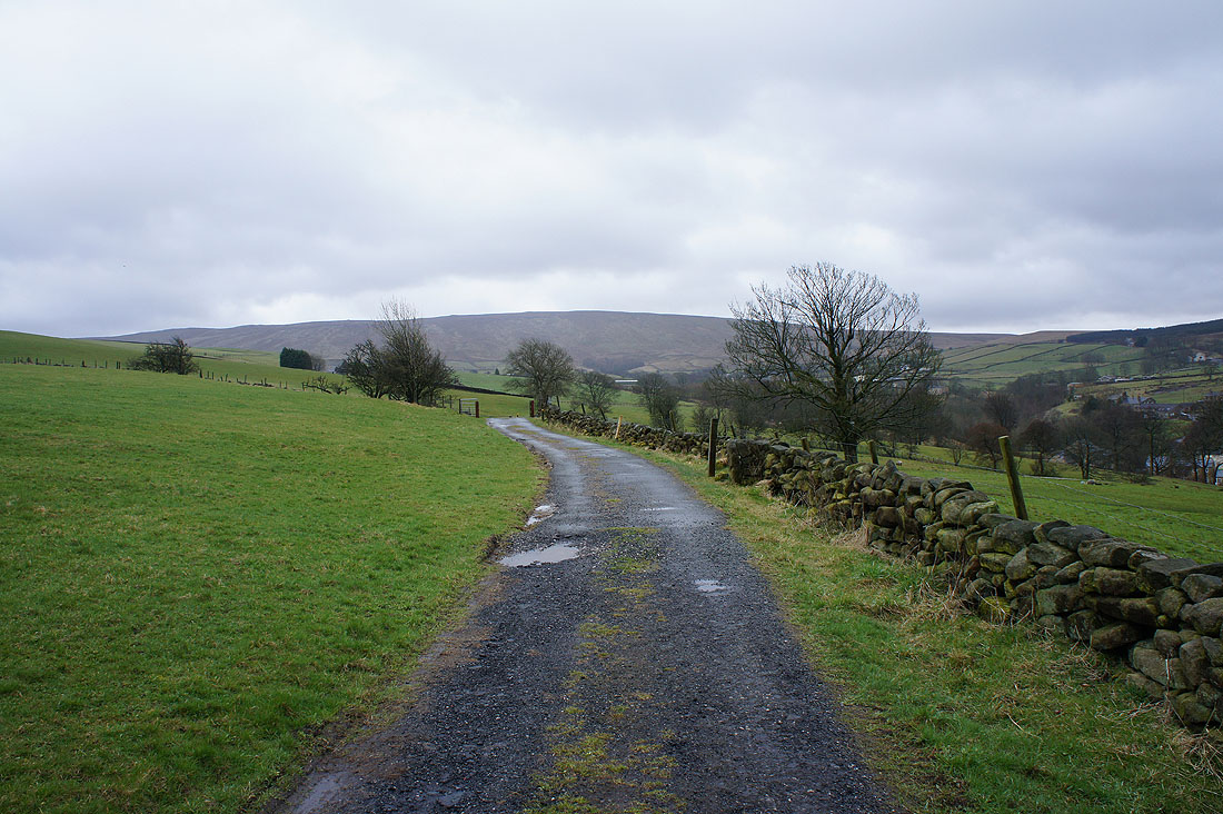
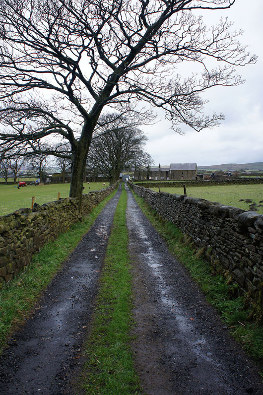
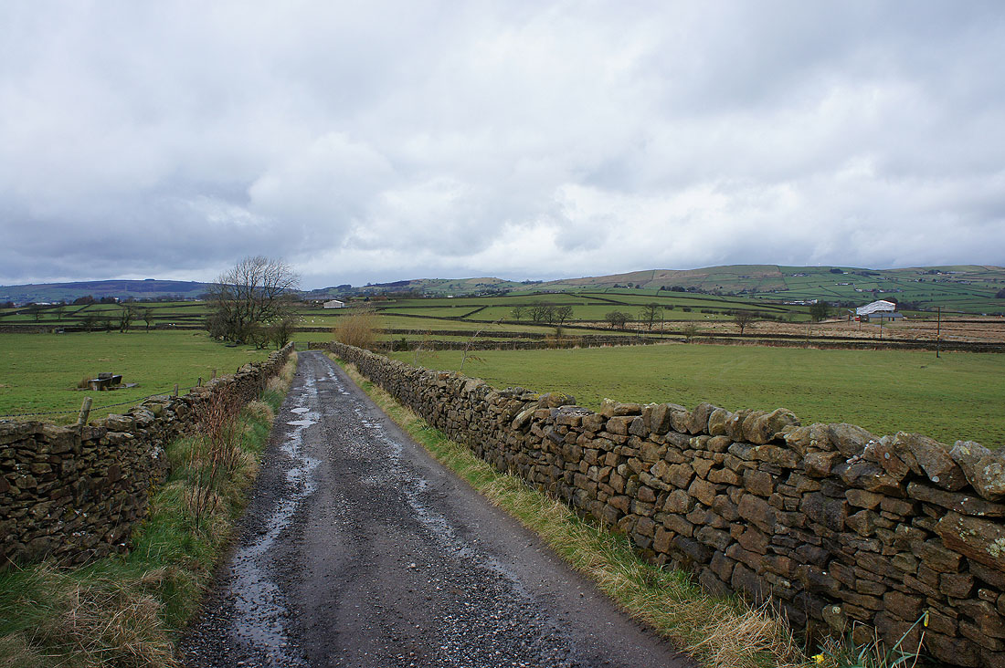
On the track to Higher Sunstead
Looks a bit brighter over Pendle Hill now
I finish the walk by taking the access track for Great Thorn Edge Farm out to the road and then the car park
