28th May 2016 - Stoodley Pike
Walk Details
Distance walked: 13.4 miles
Total ascent: 2633 ft
OS map used: OL21 - South Pennines
Time taken: 8 hrs
Route description: Lobb Mill picnic site, A646-Rodwell End-Matthew Lane-Cross Stones Road-Lower Ashes Farm-Higher Ashes Farm-Ing Top Barn-Todmorden Centenary Way-Eastwood Road-Calderdale Way-Hippins Bridge-Hippins-Pennine Way-A646-Pennine Way-Stoodley Pike-Pennine Way-Gaddings Dam-Langfield Edge-Lumbutts-Mankinholes-London Road-Shaw Wood Road-A646-Lobb Mill picnic site, A646
Another bank holiday weekend and the weather is set fair for all three days. I'm going to make the most of it with a walk both today and tomorrow, in both cases I'm going to stay relatively local and avoid the places that get crowded on long weekends. Today I did the short drive across to Calderdale for a walk around the moors above Todmorden, including Stoodley Pike. It's been nearly six months since my last visit to the area, in early December, which was before the Boxing Day floods. Calderdale was badly affected and there is still repair work ongoing at the moment. The Rochdale Canal and River Calder run side by side for many miles down the valley east of Todmorden and as the Calder burst its banks it wreaked havoc on the canal. I had planned to use a section of the towpath at the end of my walk but it was closed off and that part of the canal had been drained. I hope the work is completed soon, it's a nice canal to walk beside. Apart from a few hours in the afternoon there was some lovely warm and sunny weather to enjoy with a nice breeze, though it was pretty hazy.
From the picnic site next to the A646 just east of Todmorden I took the steep path at the back of the car park up to the hamlet of Rodwell End and then a bridleway that brought me to Cross Stones Road. A left turn and after a brief walk down the road I took the bridleway on the right uphill past Lower Ashes Farm, Higher Ashes Farm and Ing Top Barn to the Todmorden Centenary Way. I followed this trail east across the hillside to Eastwood Road, where after a brief walk along it I reached Great Rock and the Calderdale Way. This trail took me north to Hippins Bridge and then to the house of Hippins, here I left it for a path to and past Blackshaw Royd (I made a short detour down into Jumble Hole Clough to avoid cattle) to pick up the Pennine Bridleway. I then took a bridleway signposted for Lower Rawtonstall and I soon reached the Pennine Way. This trail was followed south down to the valley floor, across the A646, up through Callis Wood and all the way to Stoodley Pike. I kept on the Pennine Way as I made my way south across the moor, by Warland Drain and then at a sharp left bend I left it for a path to Gaddings Dam. After walking round Gaddings Dam I made my way down from Langfield Edge by the path that reaches the road to Lumbutts at Croft Carr. I then walked east along the road and instead of walking through the hamlet I took the bridleway past Lee Farm to pick up the road again to Mankinholes. I left the road for the bridleway of London Road but soon turned left onto another bridleway that runs north to the road that goes east by a housing estate. I walked along this until a reached a path just before High Stoodley Farm that heads north across a few fields and down into Shaw Wood. It comes out on Shaw Wood Road. Since I couldn't use the towpath I kept on the road to reach the A646. Five minutes later and I was back at the picnic site.
Route map
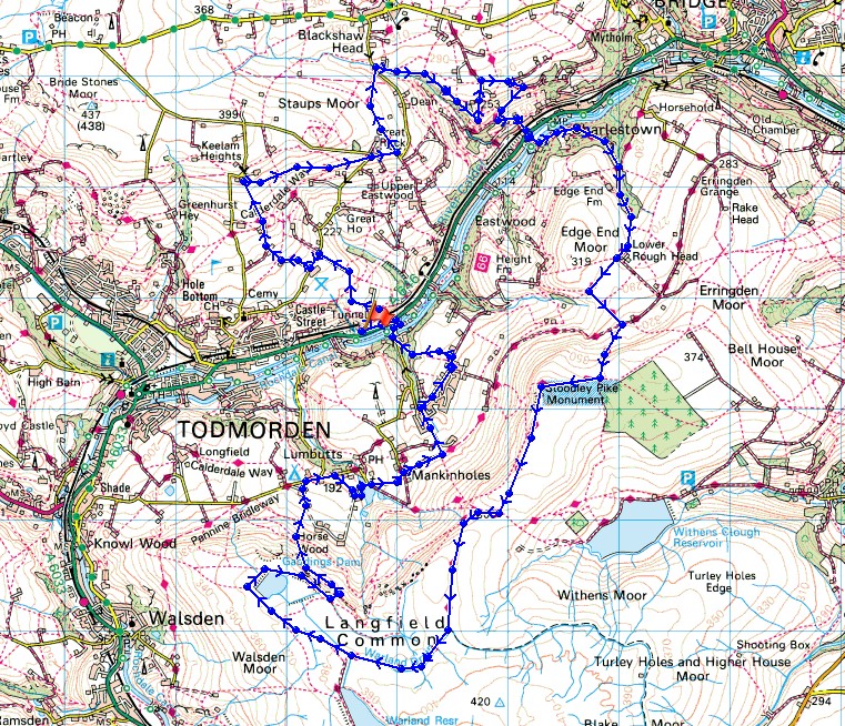
© Crown copyright. All rights reserved. License number PU 100034184.
Looking up Calderdale to Todmorden as I take the steep path up to Rodwell End from the car park

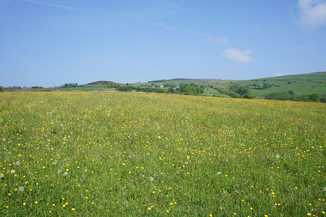
As I follow the track up to Cross Stones Road I pass buttercup filled fields..
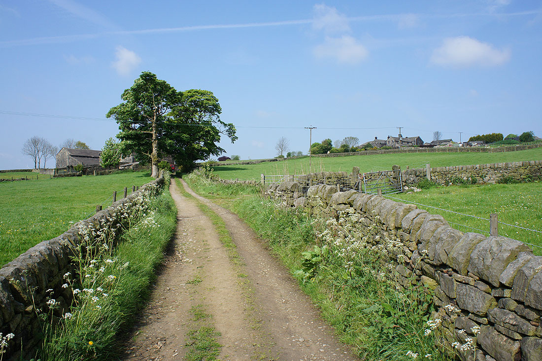
On my way to Lower Ashes Farm then Higher Ashes Farm
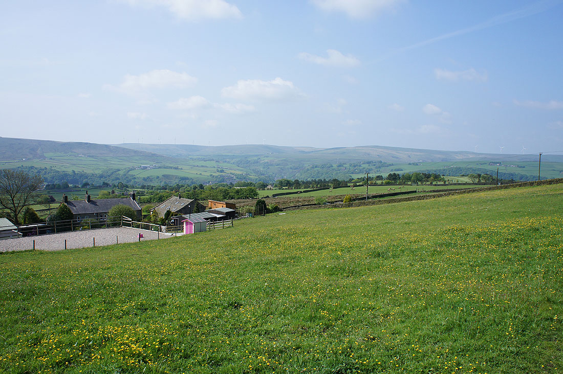
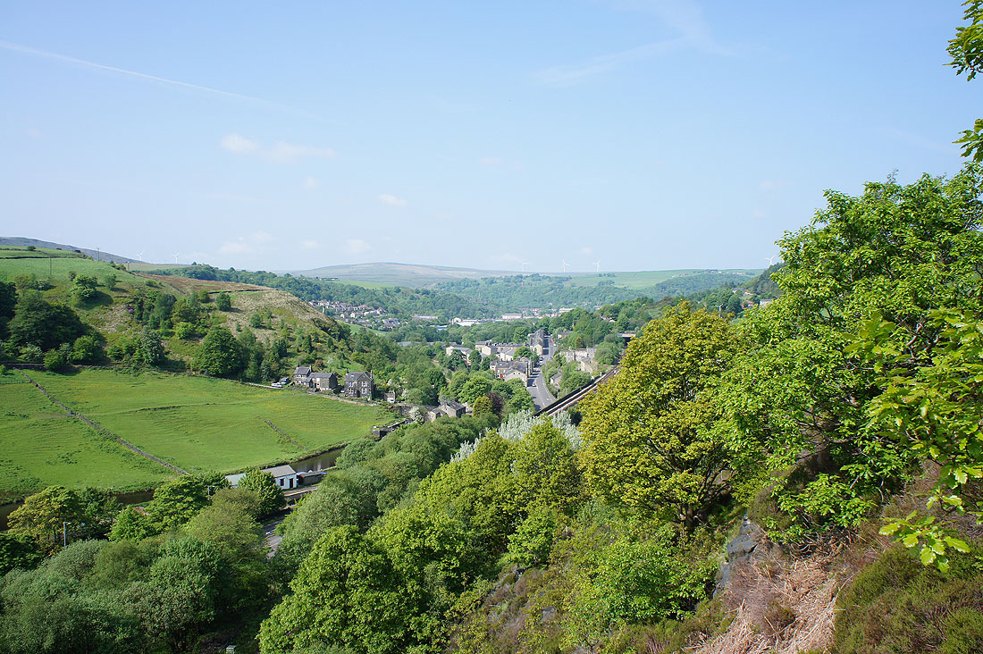
Looking up Calderdale from above Ing Top Barn
Onto the Todmorden Centenary Way that will take me east down the valley
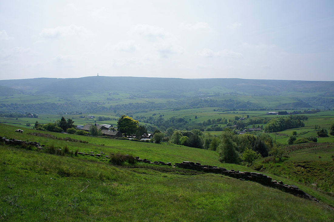
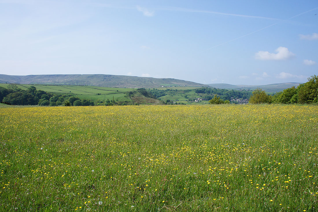
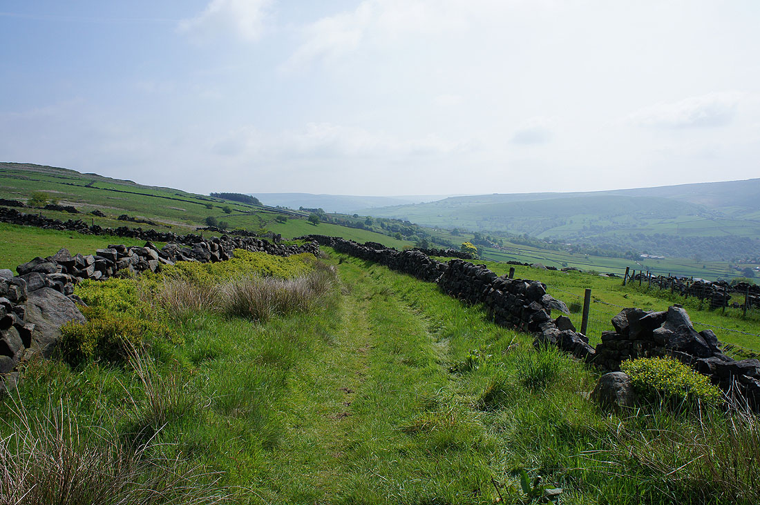
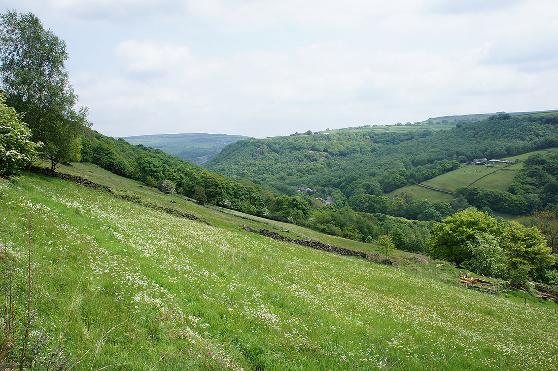
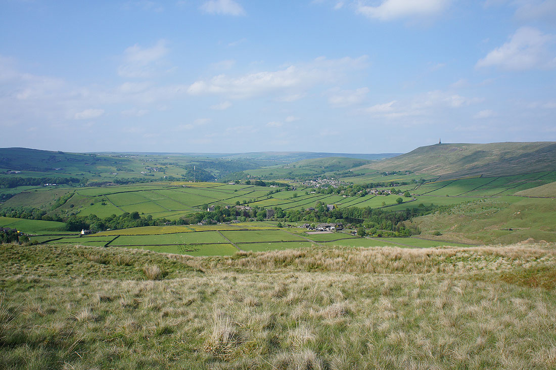
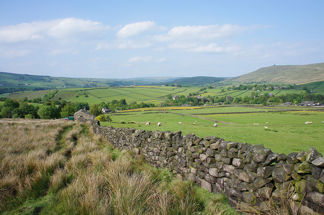
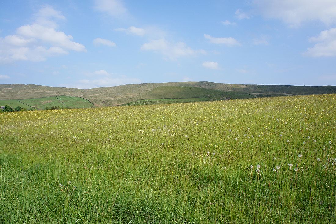
Good views across to Stoodley Pike and Langfield Edge
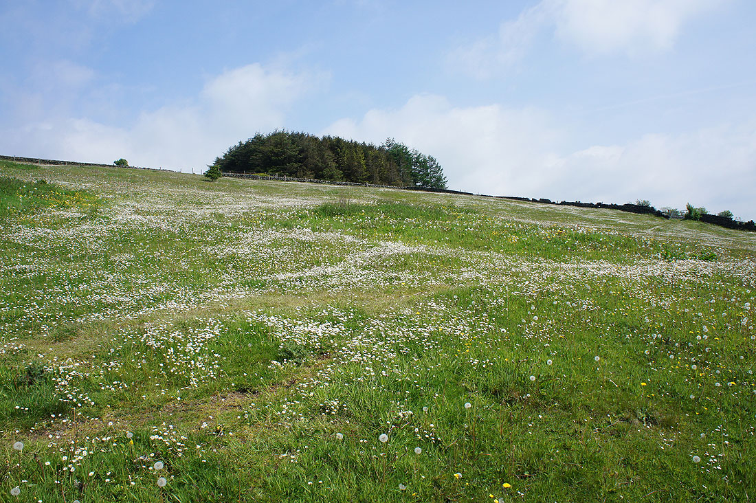
A field full of daisies
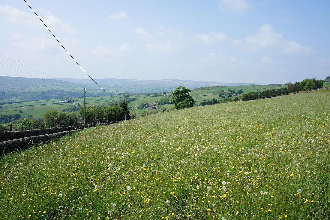
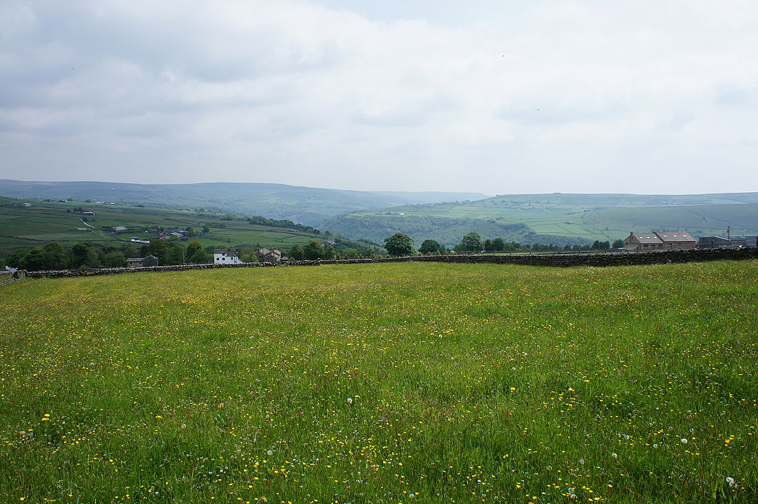
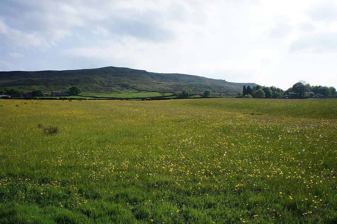
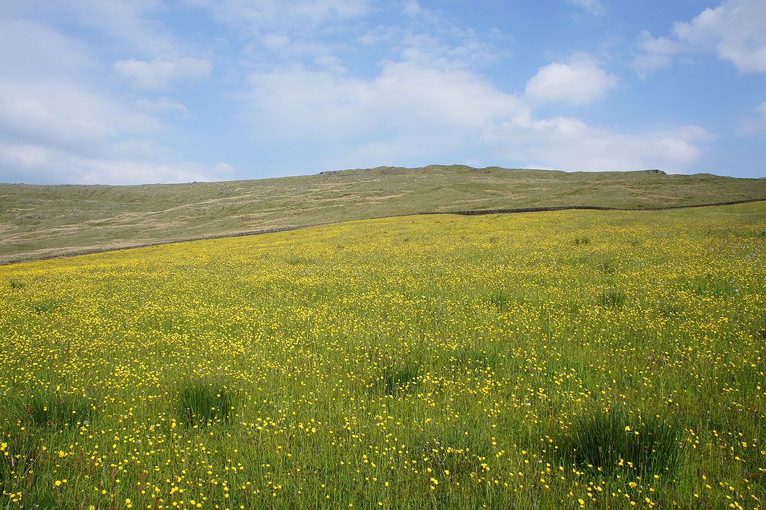
I really liked the view across this pasture full of buttercups as I reached the junction of Eastwood and Crossley New Roads
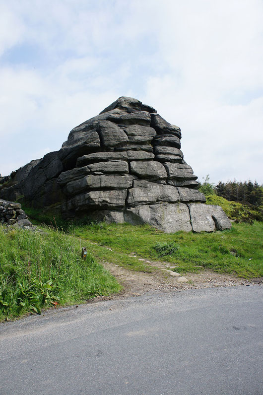
After a short walk along Eastwood Road I reach Great Rock
Looking down Calderdale towards Hebden Bridge as I follow the Calderdale Way to Hippins Bridge
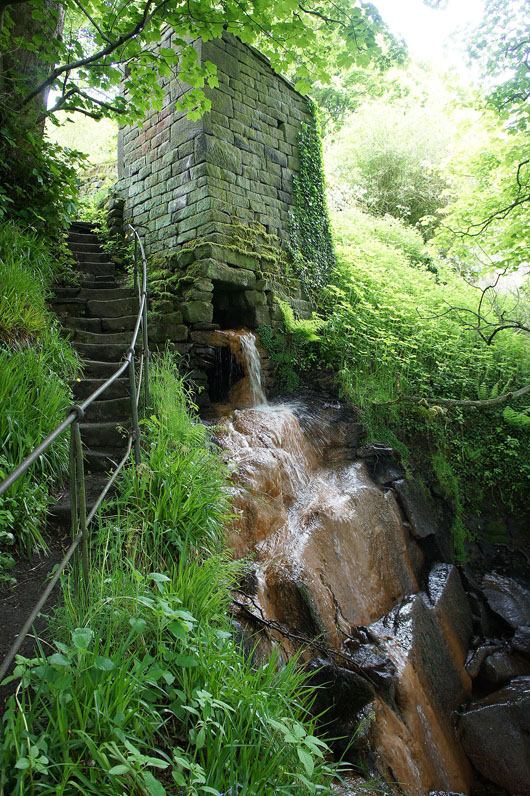
I've made a small detour from Hippins down into Jumble Hole Clough to avoid some cattle
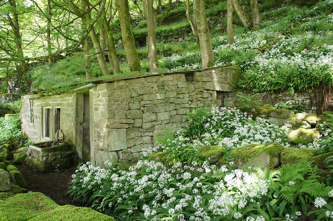
I would have missed seeing this stone shack surrounded by wild garlic if I hadn't
Looking across the top of Jumble Hole Clough to Stoodley Pike
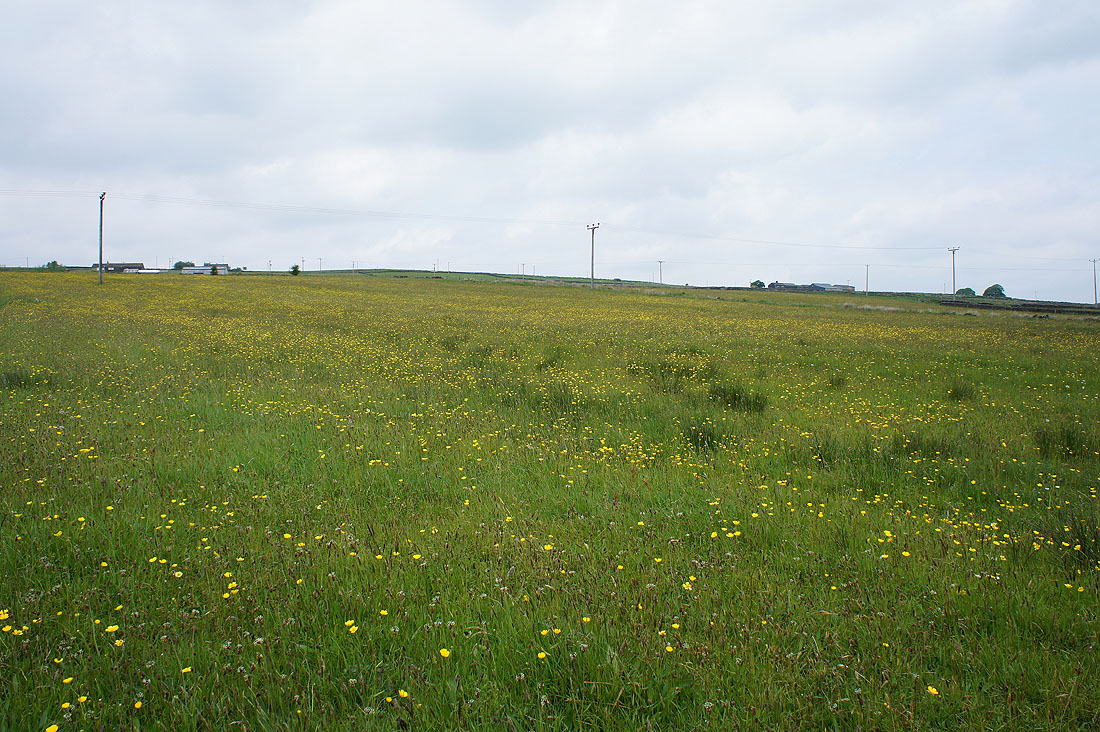
A buttercup filled field where I join the Pennine Way
|
|
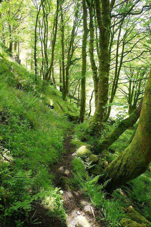
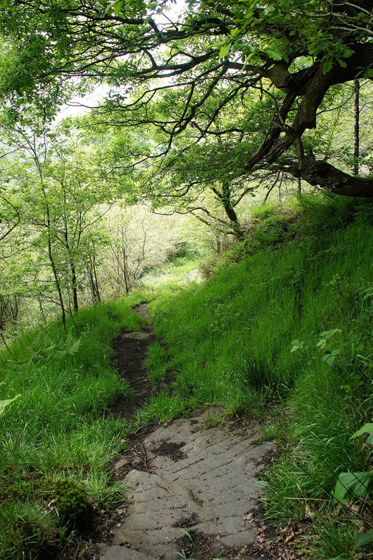
The Pennine Way starts with heading steeply downhill through woodland
and then into the open with views across the valley..
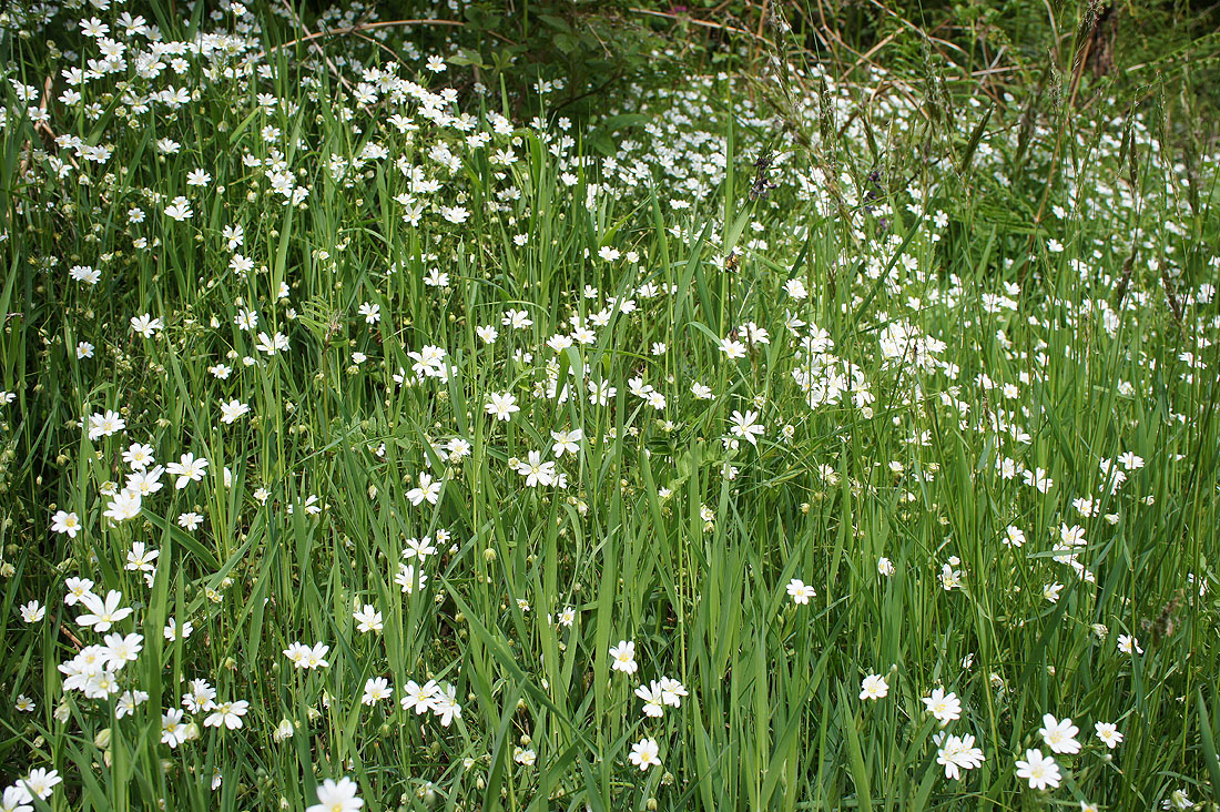
A mass of stitchwort
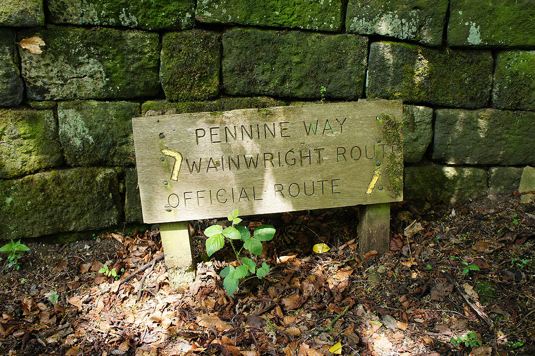
I passed this sign for the Pennine Way showing an alternative to the official route
|
|
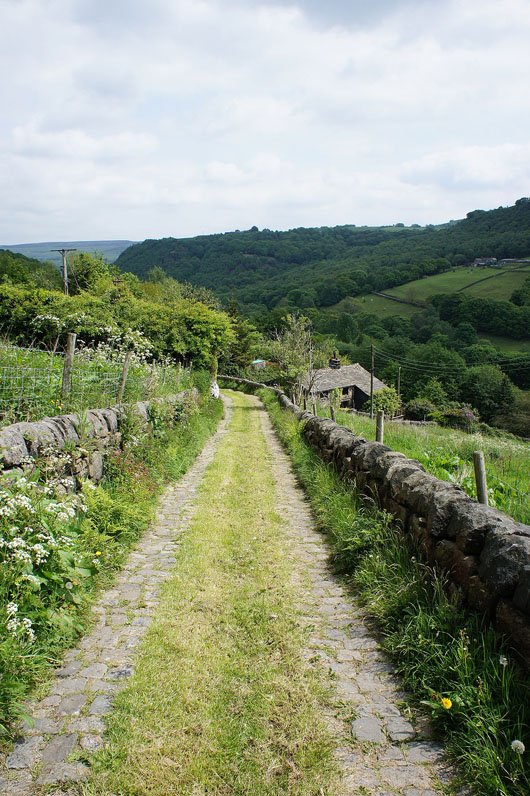
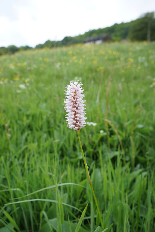
A bit further down and the trail uses an access road for a number of cottages that are perched on the hillside, and a meadow bistort in flower in a neighbouring field
|
|
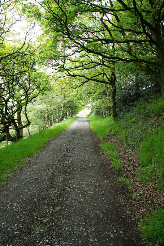
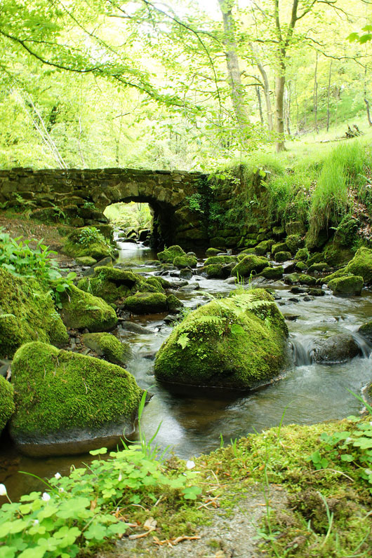
Having crossed the main road and still on the Pennine Way, on the track up through Callis Wood, and a small detour took me to this little bridge over the brook below
Looking back as I exit the wood to Colden Clough and Heptonstall on the other side of the valley
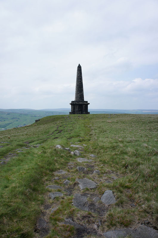
Finally approaching Stoodley Pike
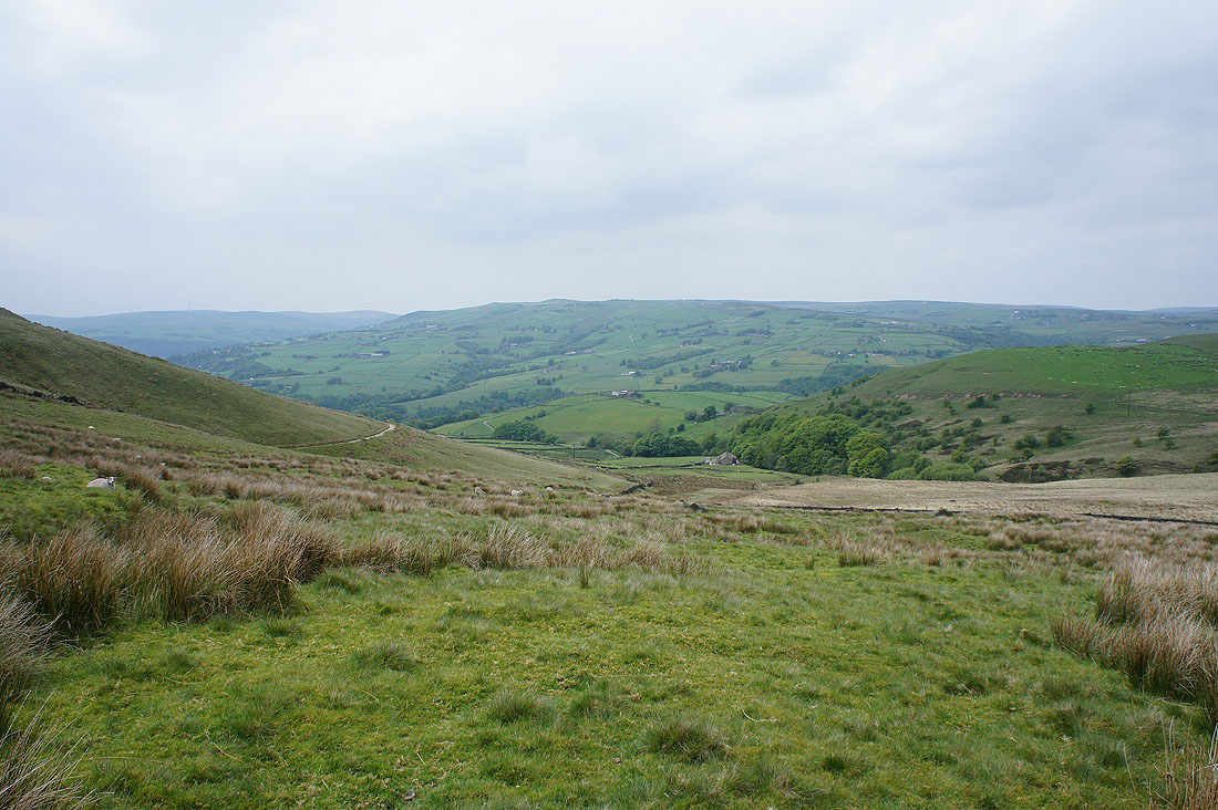
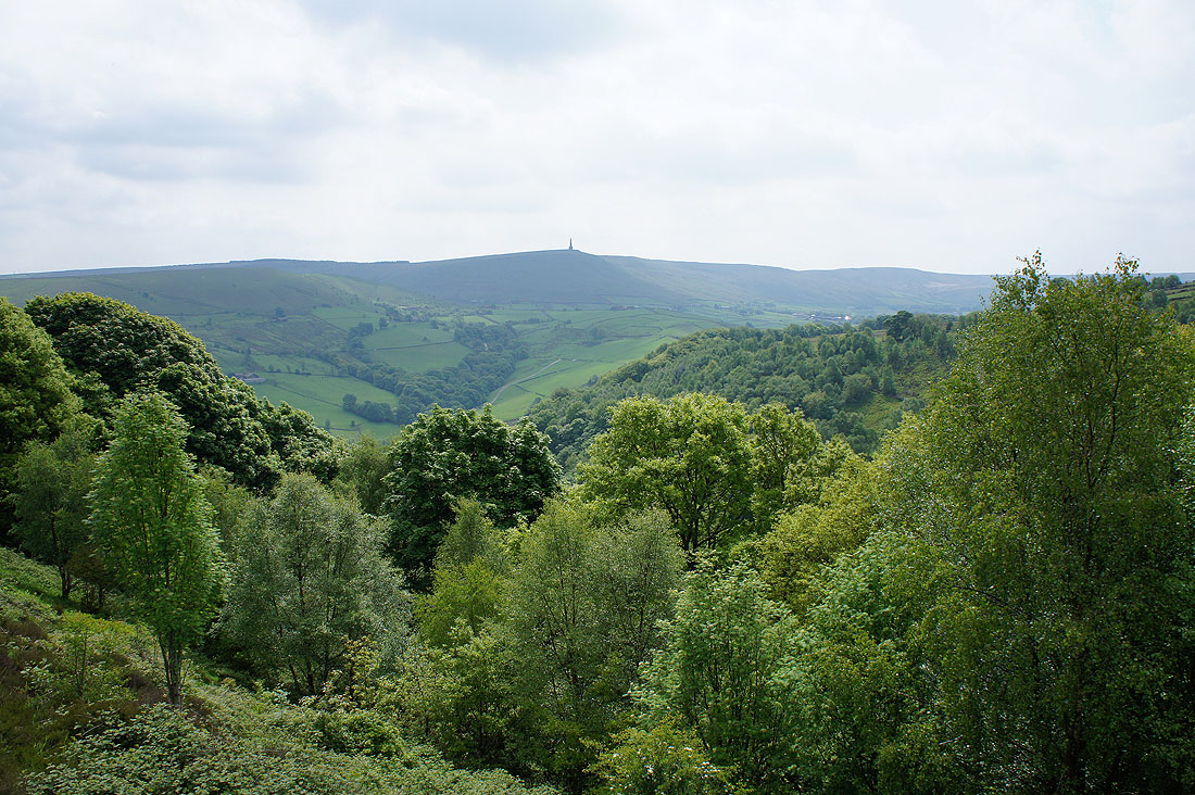
Looking across the valley to Bride Stones Moor
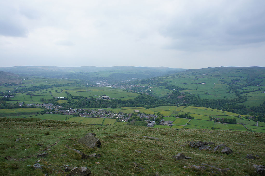
Now that I'm here a couple of photos of the view from Stoodley Pike. It's a shame that it's a bit grey and hazy. Looking up the valley to Todmorden.
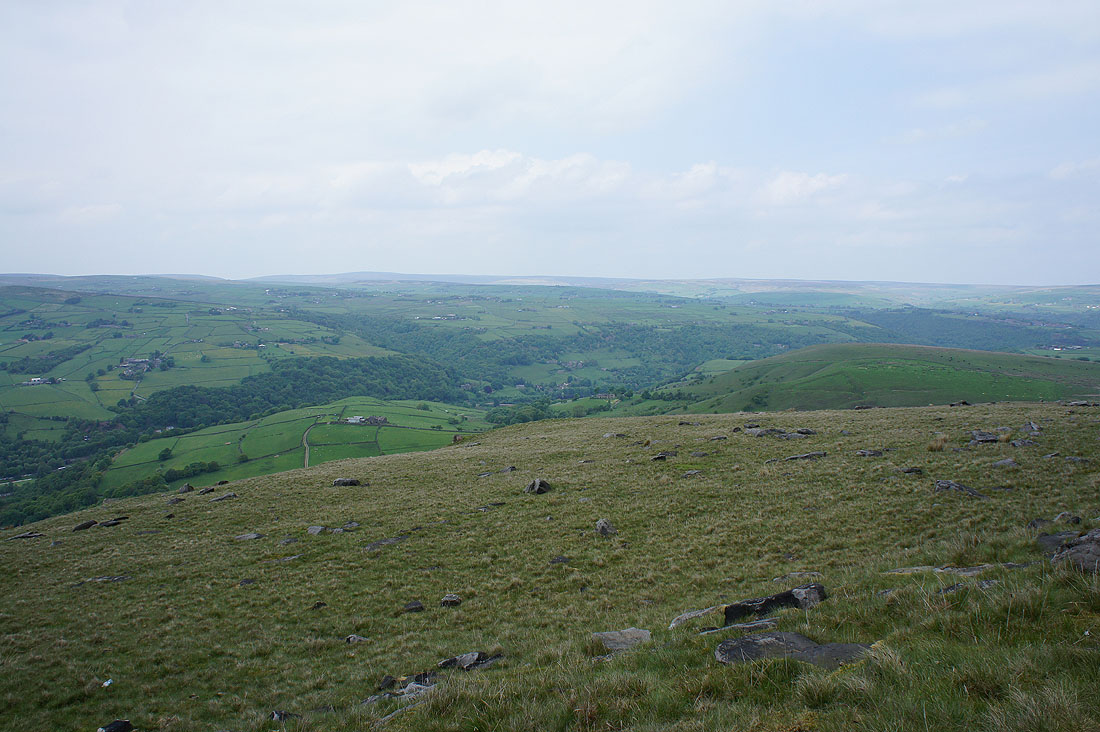
and across to Jumble Hole Clough and Heptonstall Moor
Leaving the monument behind
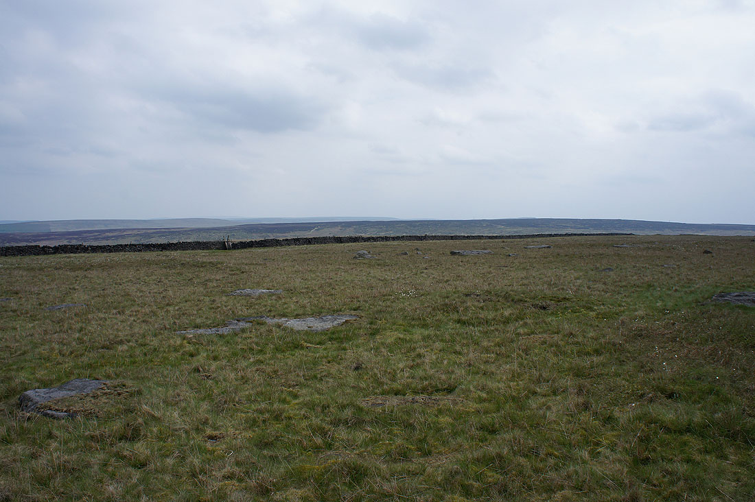
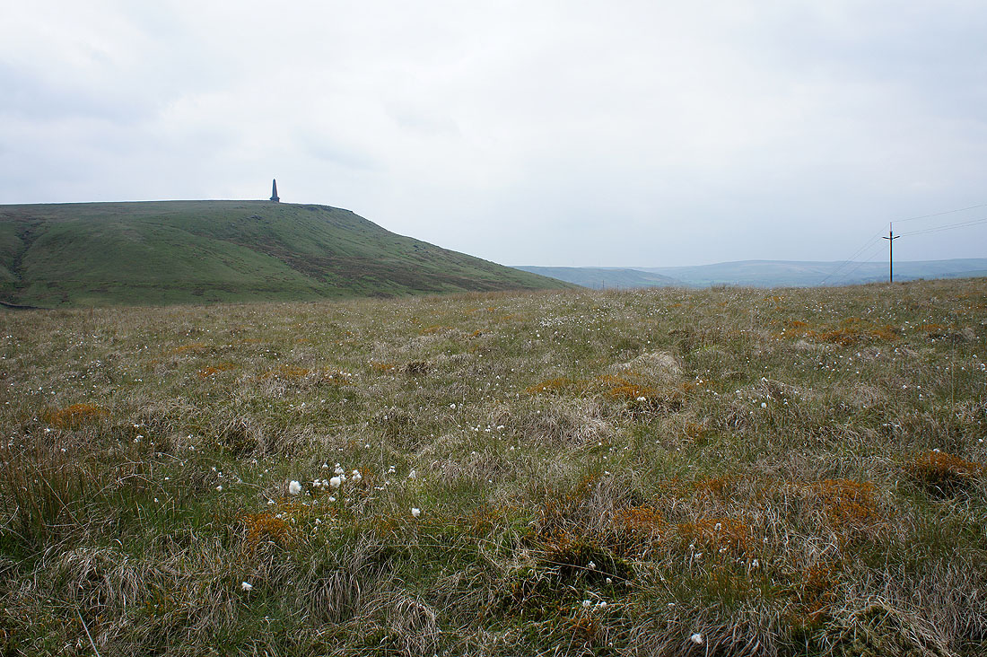
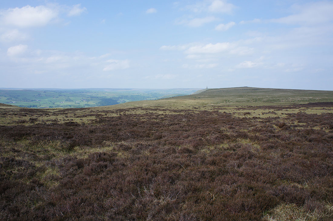
South Pennine moors
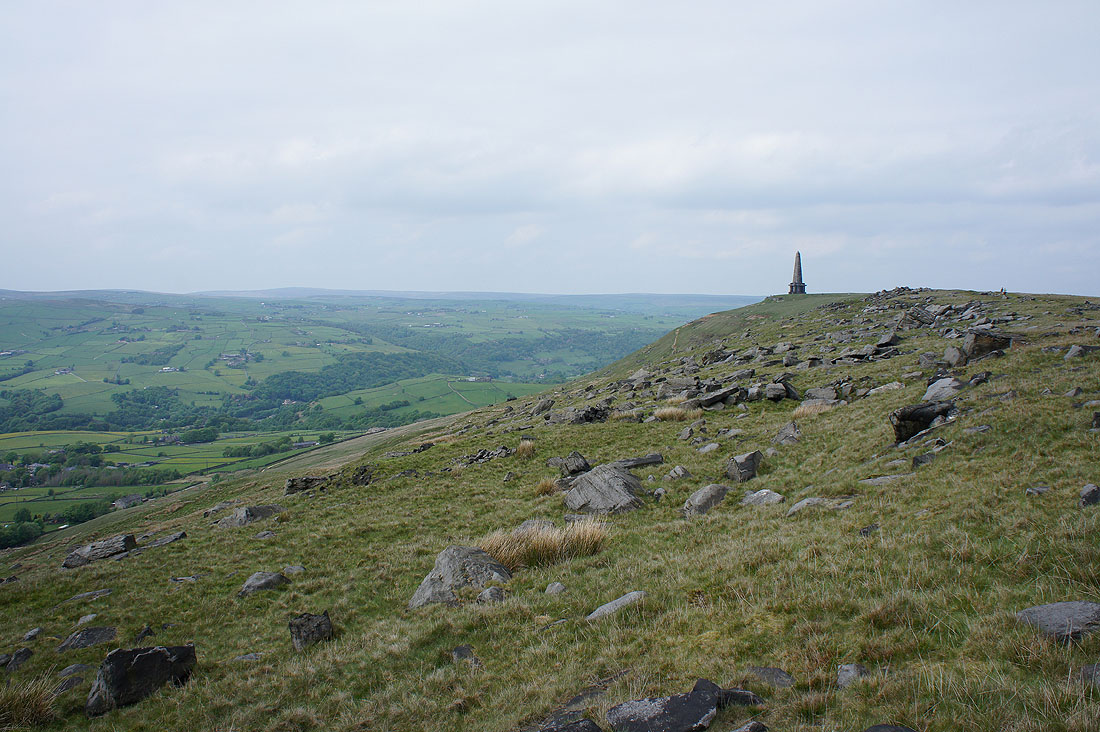
I like the hillside to the south of the monument. The scattering of boulders makes for an interesting foreground to a photo.
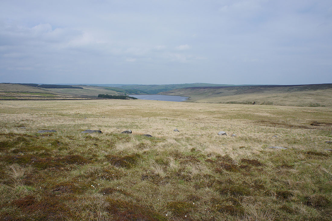
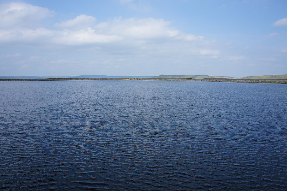
Withens Clough Reservoir
The monument peeps around the side of Coldwell Hill as I follow the Pennine Way south
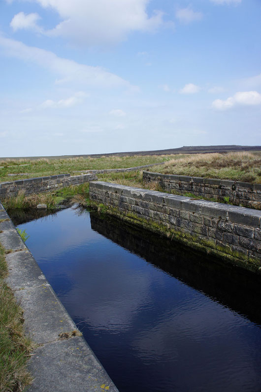
A deep blue Warland Drain and this is where I leave the Pennine Way
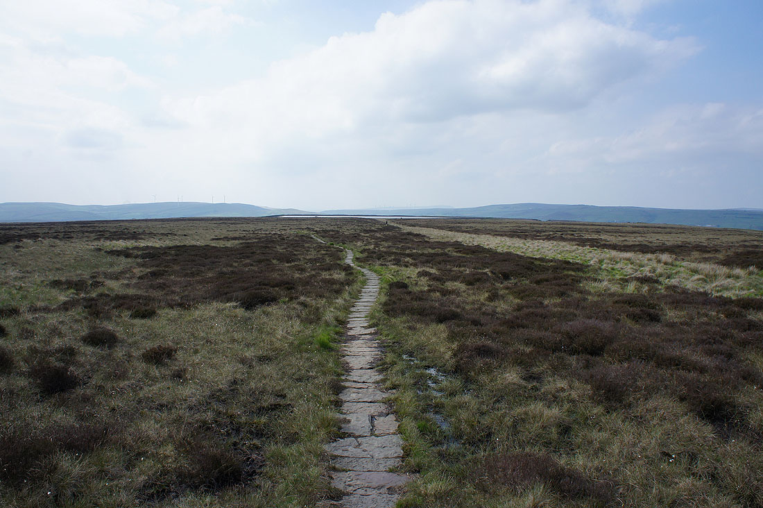
Heading for Gaddings Dam
By Gaddings Dam. Its "beach" is on the other side.
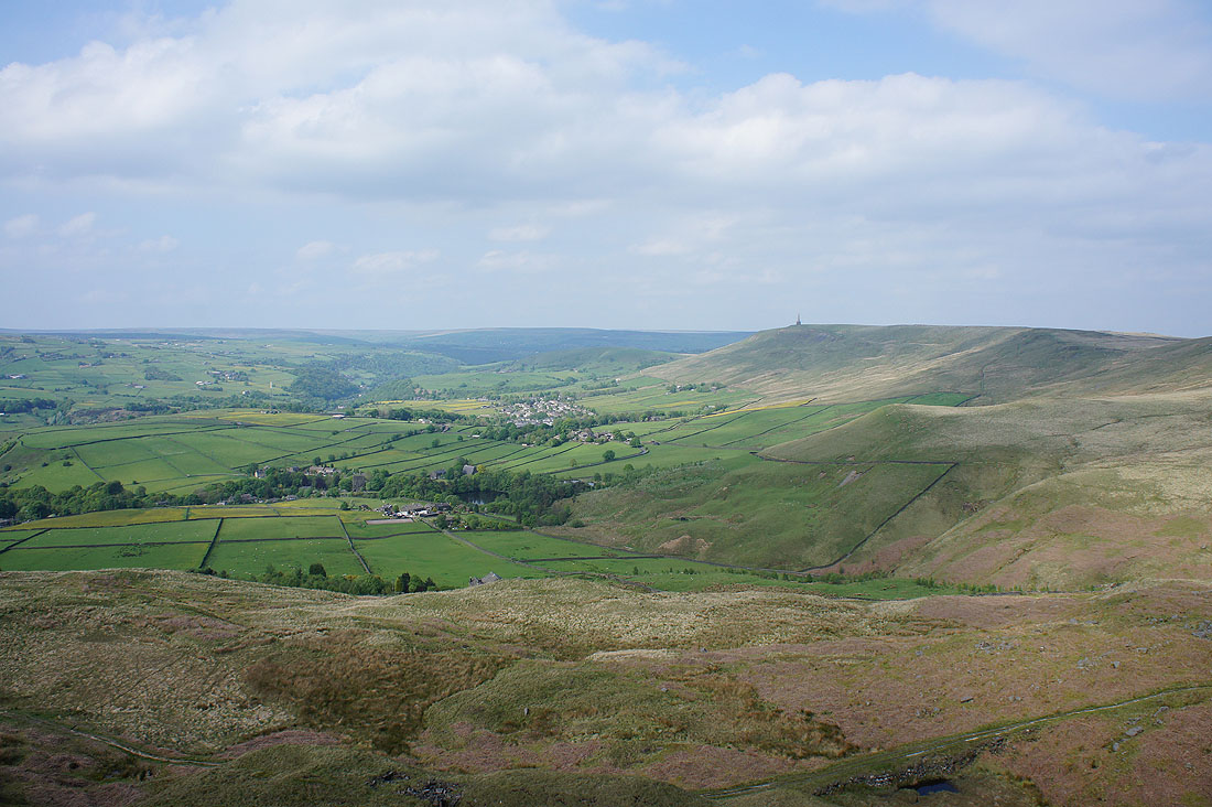
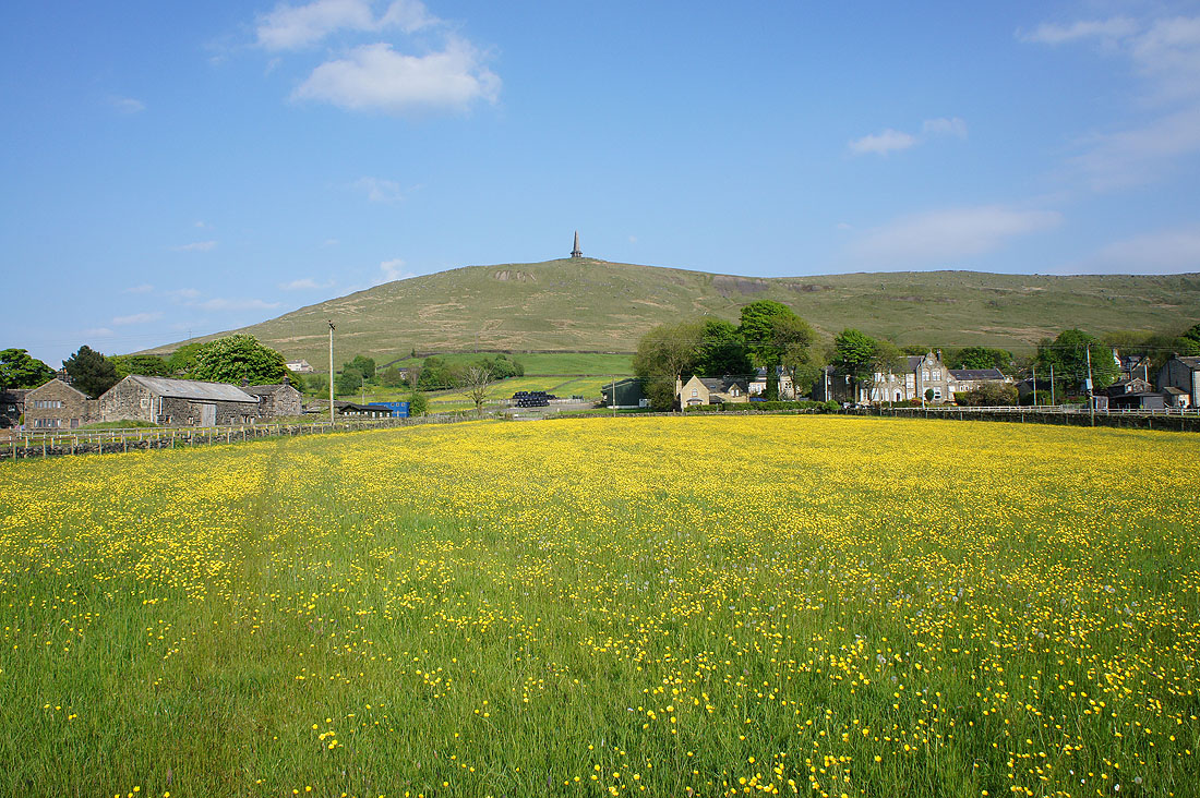
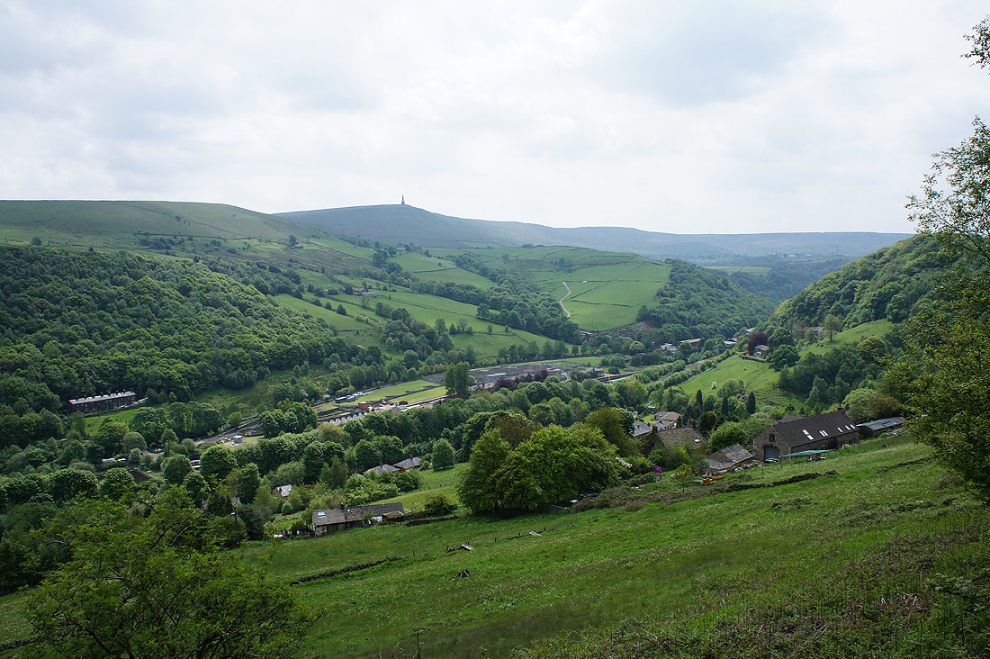
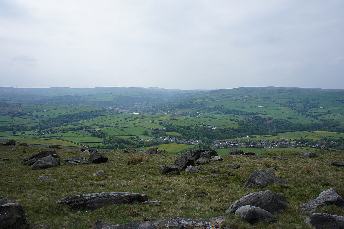
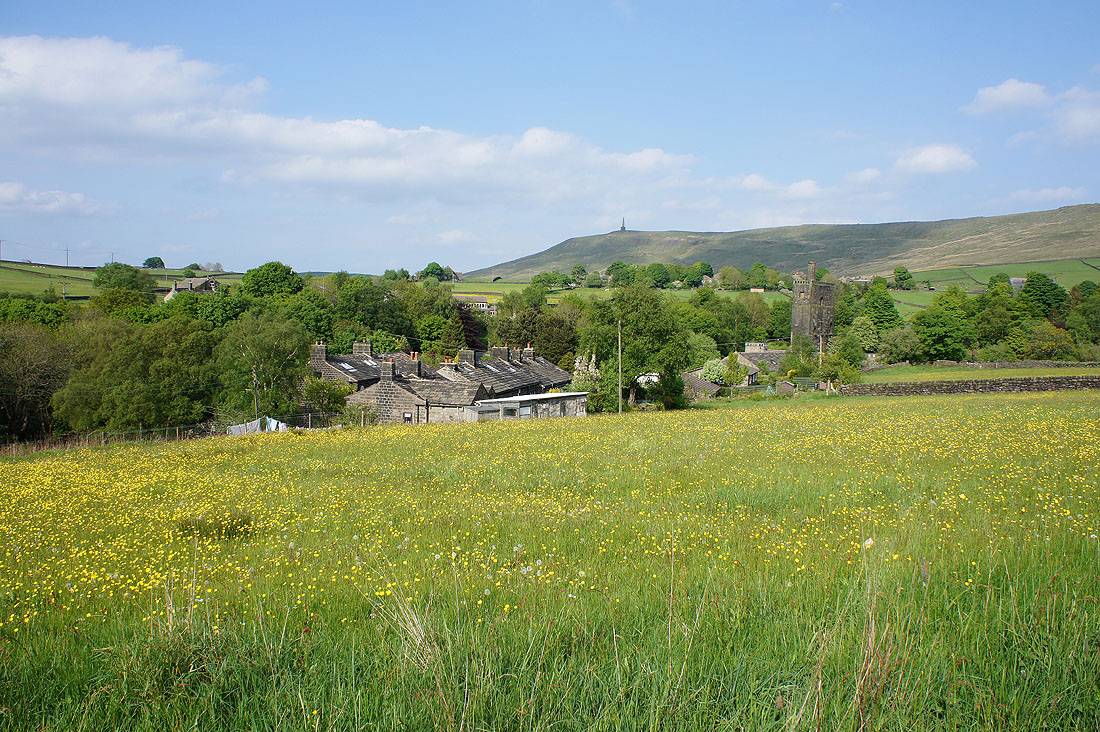
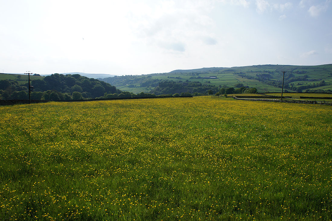
Great views across the villages of Lumbutts and Mankinholes to Stoodley Pike as I make my way down from Langfield Edge. I was pleased to see that the sun was back out. It will make those fields of buttercups below look even better.
Down through the last field to reach the road to Lumbutts
Fields of buttercups below Langfield Edge..
..and Lumbutts as I follow the bridleway above the village past Lee Farm
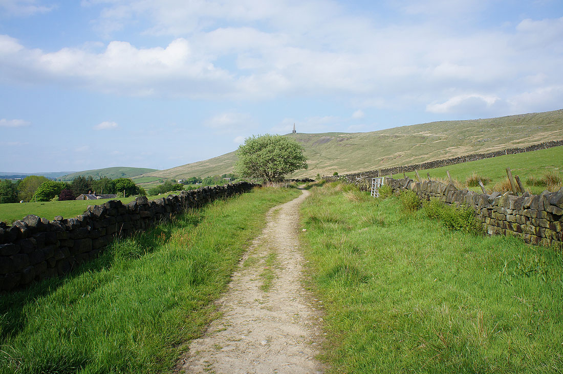
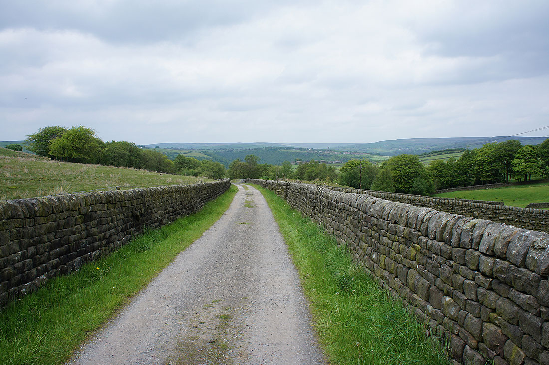
On the track of London Road
Sorry. More buttercups.
and yet more to finish with as I cross a couple of fields and head down to the valley floor