28th November 2009 - High Street
Walk Details
Distance walked: 8.0 miles
Total ascent: 2909 ft
OS map used: OL5 - The English Lakes, North-eastern area
Time taken: 6 hrs
Route description: Mardale Head-The Rigg-Riggindale-Kidsty Howes-Kidsty Pike-High Street-Mardale Ill Bell-Nan Bield Pass-Harter Fell-Gatescarth Pass-Mardale Head
I parked at Mardale Head and then made my way round into Riggindale before climbing up Kidsty Howes to Kidsty Pike. I then walked across to High Street and Mardale Ill Bell before descending to the Nan Bield Pass and climbing my final summit of the day, Harter Fell. For most of the walk I was in low cloud, but on the climb of Harter Fell this cleared and I was treated to some spectacular views.
Route map
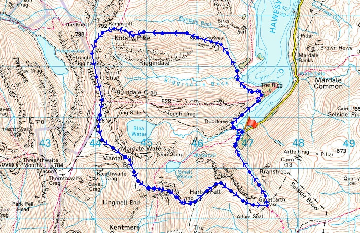
© Crown copyright. All rights reserved. License number PU 100034184.
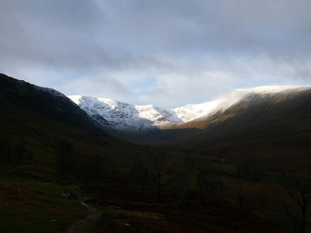
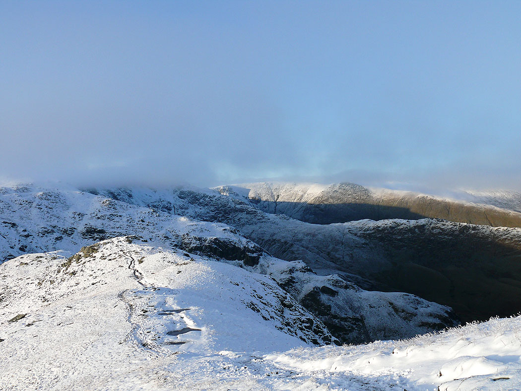
As I walked around The Rigg into Riggindale a brief break in the cloud allowed this view of High Street and the head of Riggindale
Haweswater
and again as I climb Kidsty Howes on route to Kidsty Pike
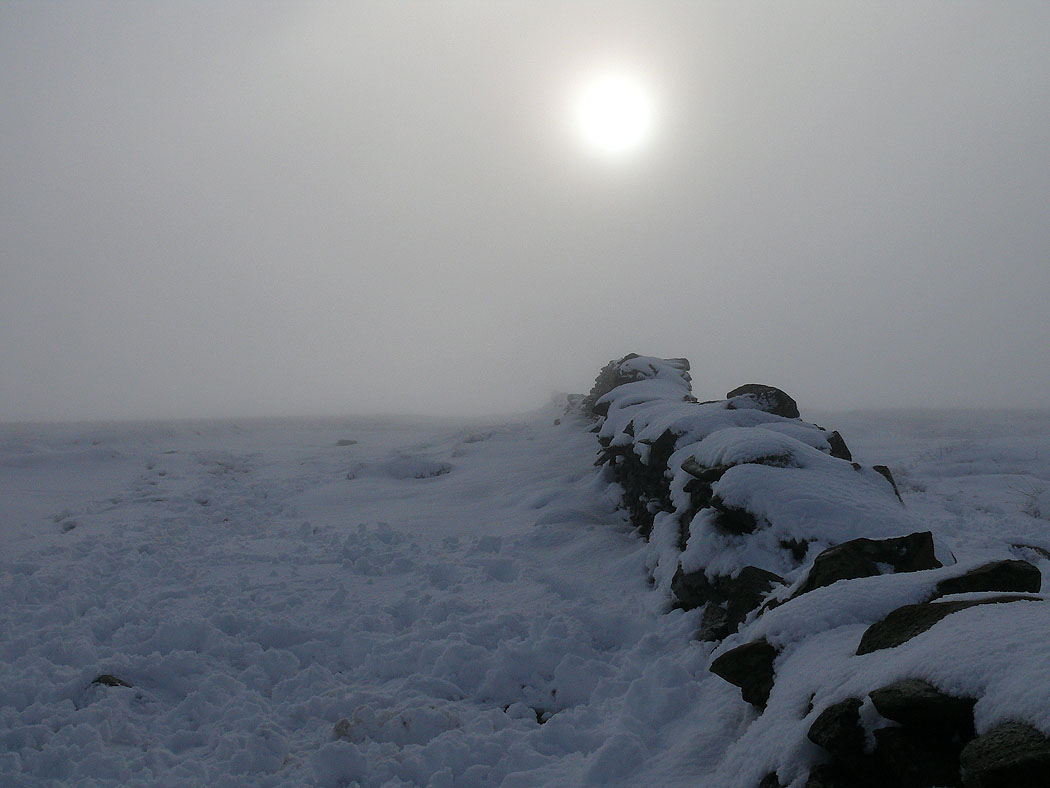
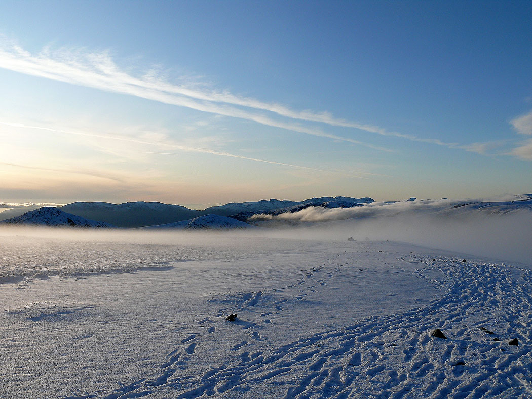
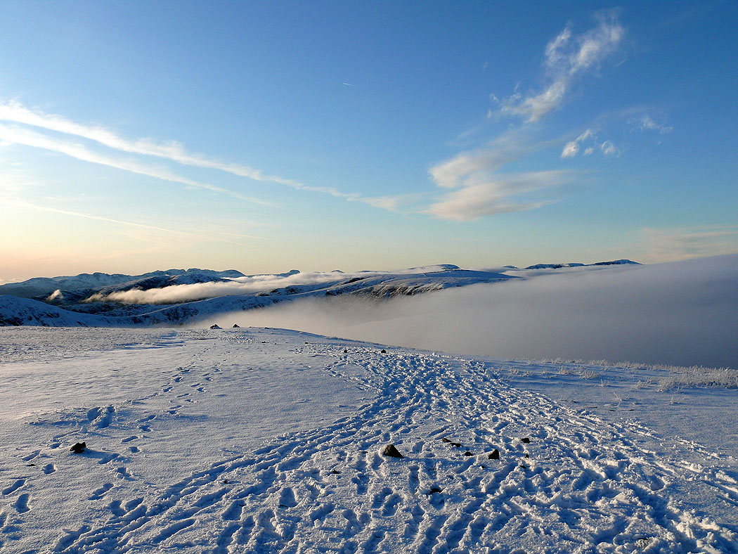
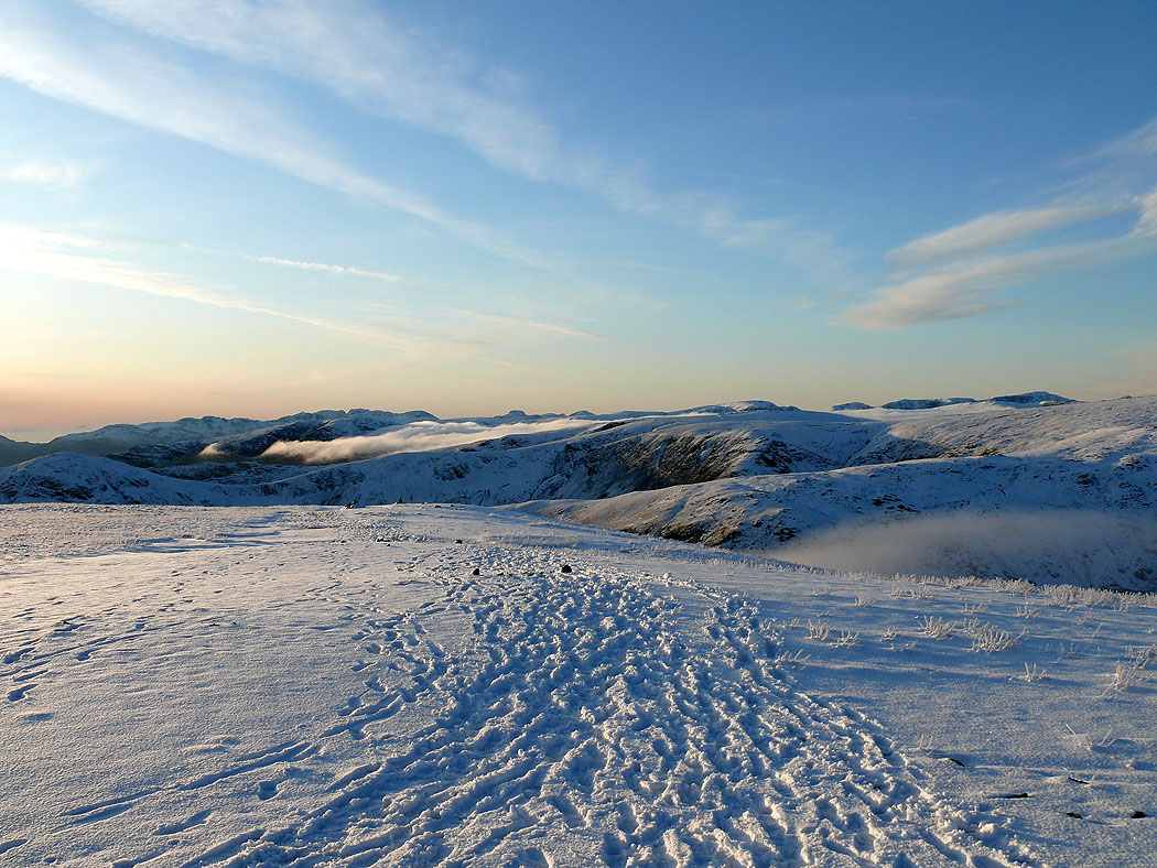
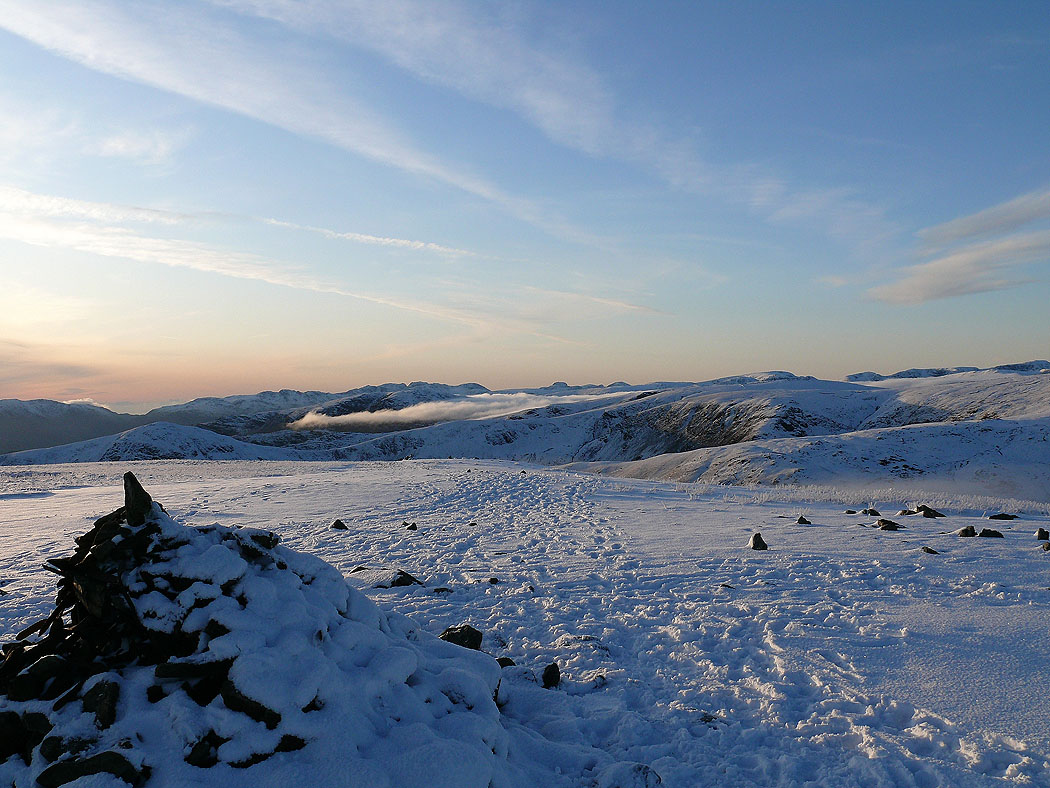
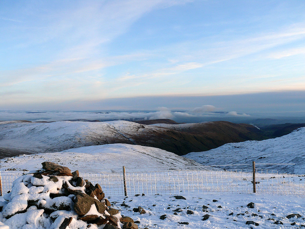
On the summit of High Street
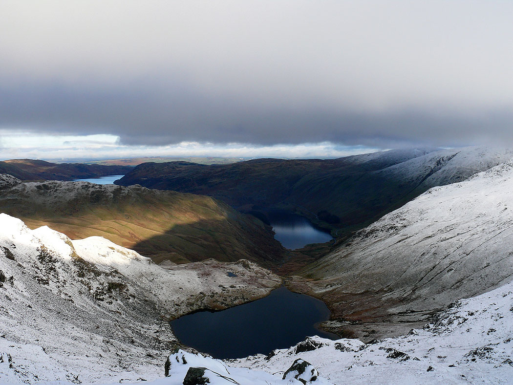
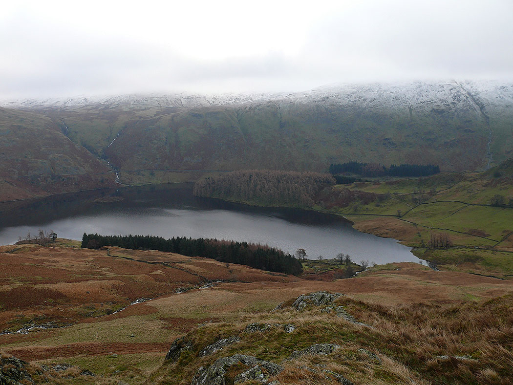
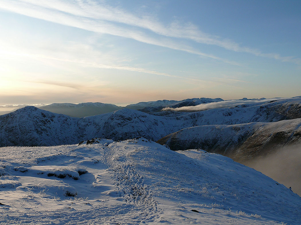
Small Water and Haweswater from Mardale Ill Bell
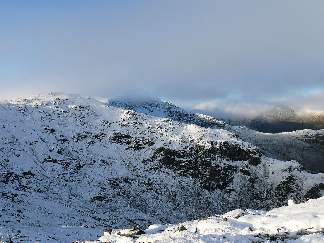
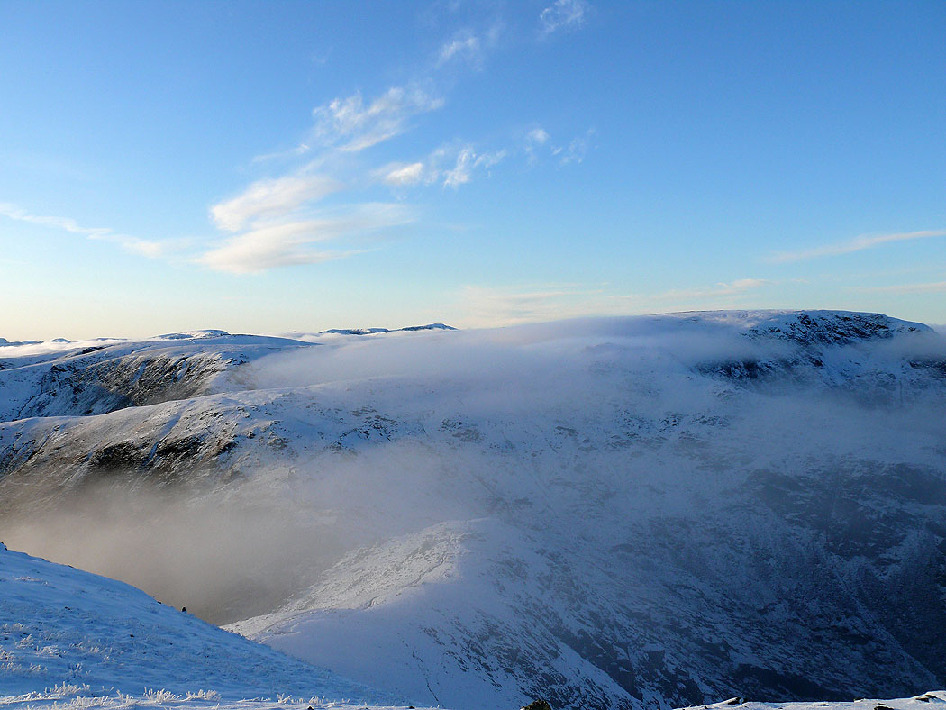
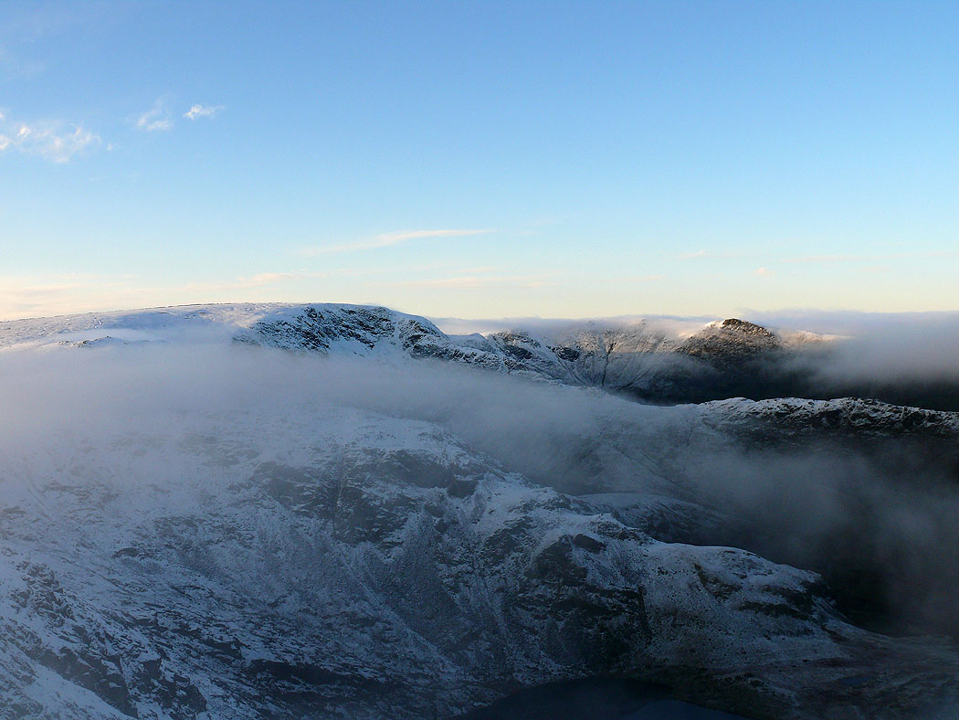
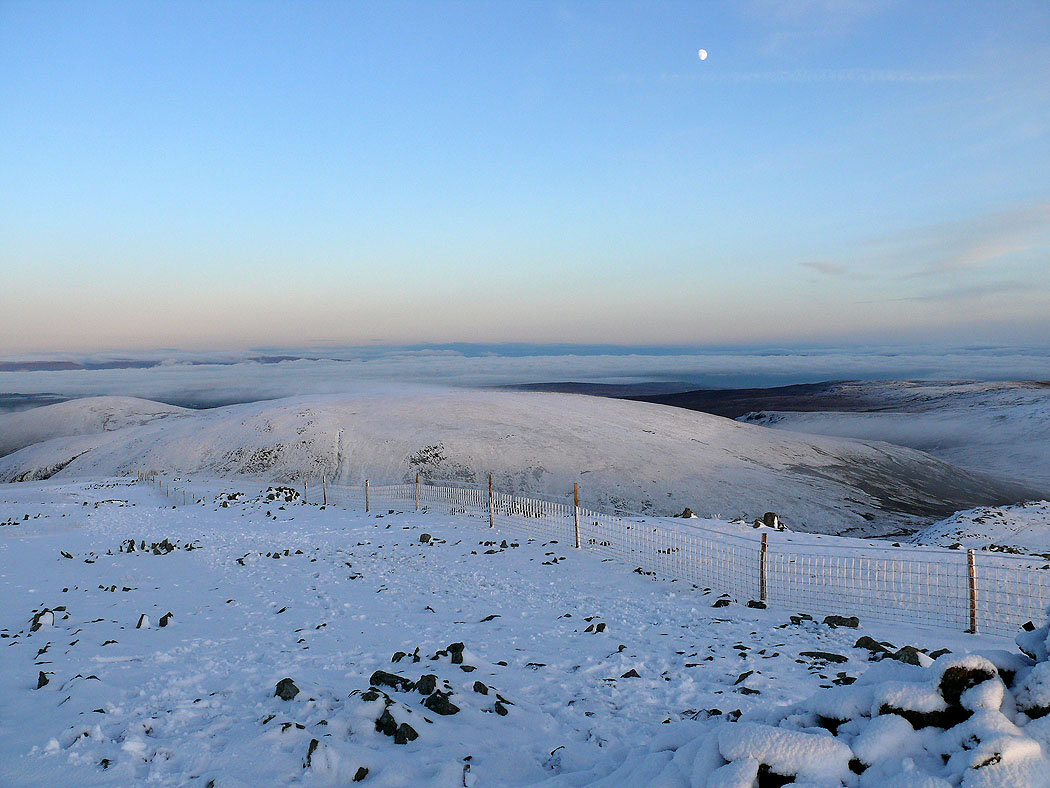
Climbing Harter Fell from the Nan Bield Pass. The cloud is breaking up.
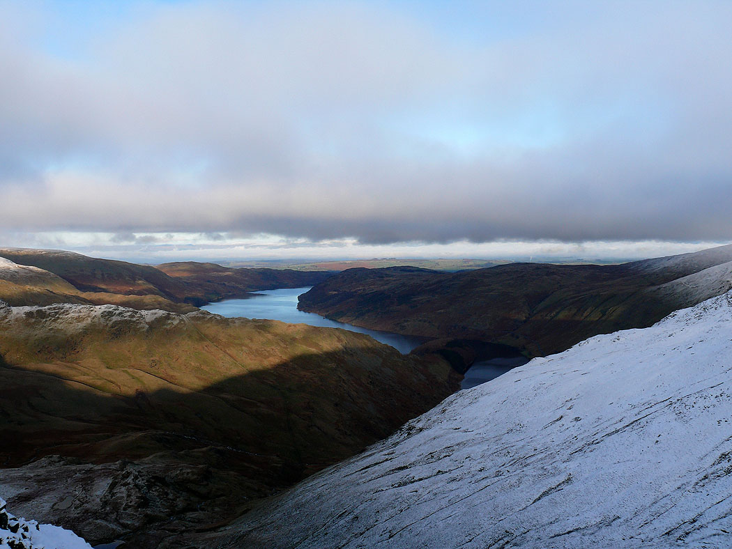
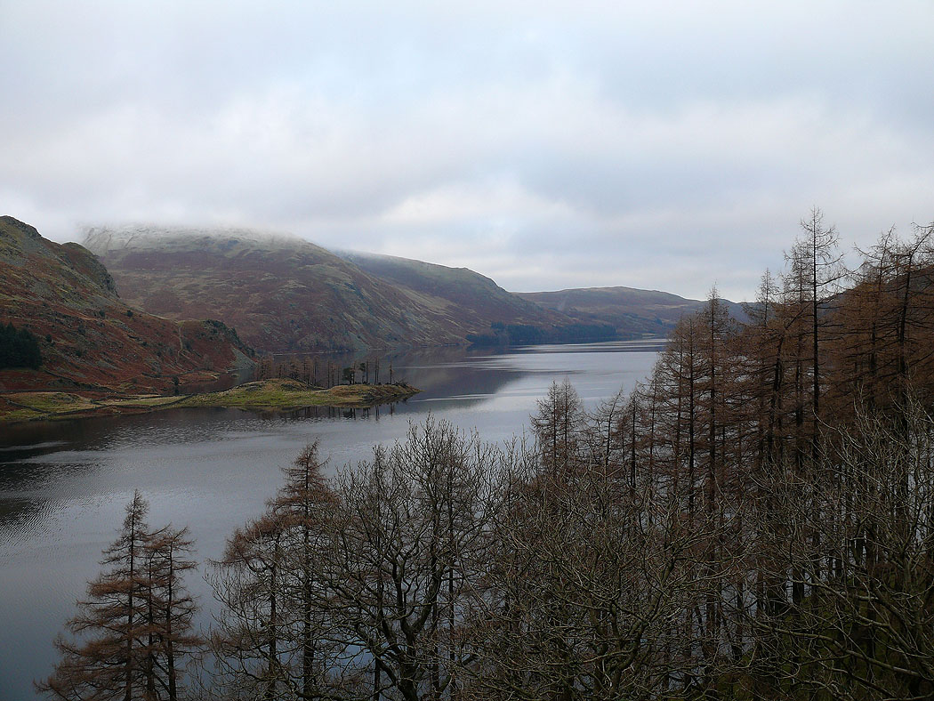
Haweswater
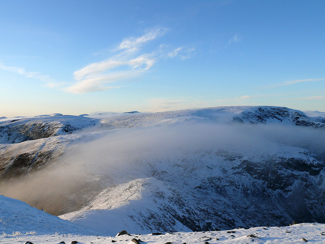
Cloud still on High Street as I near the summit
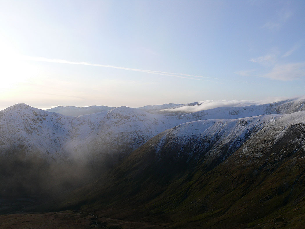
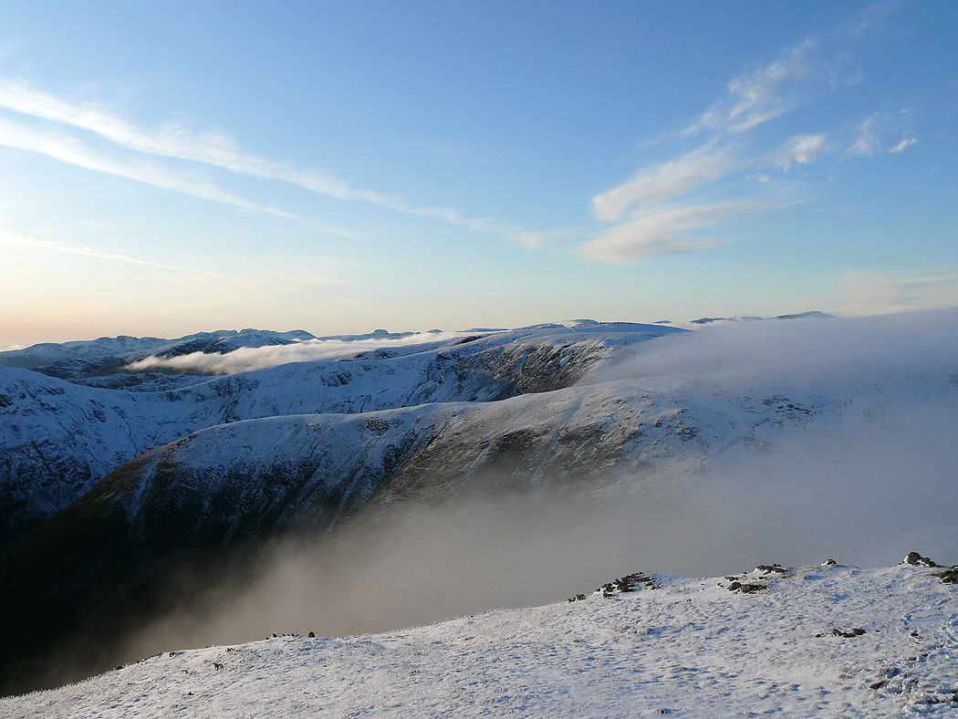
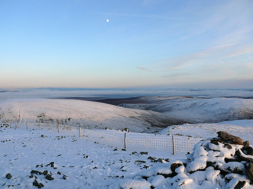
I can now see the Ill Bell ridge and the fells to the west
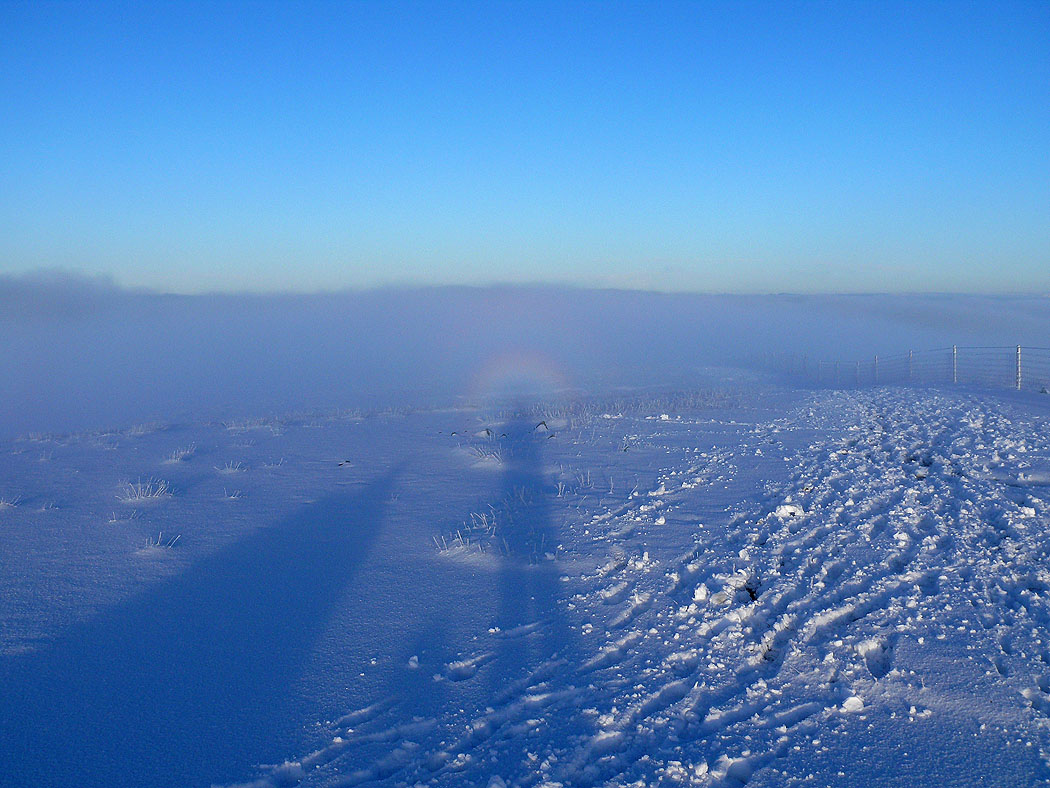
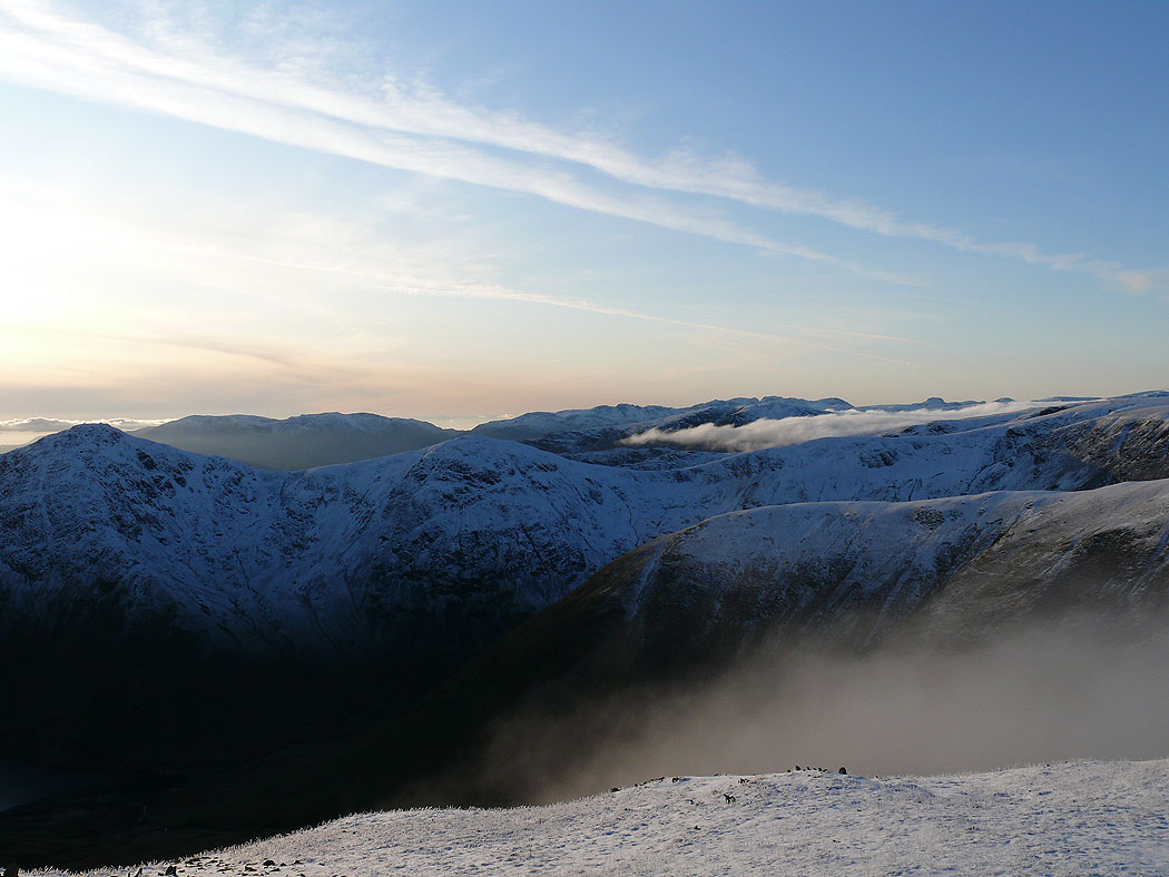
The mist swirls around the summit of Harter Fell
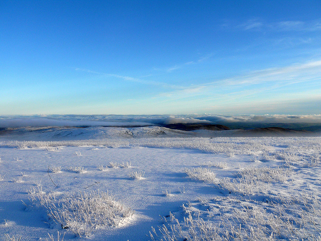
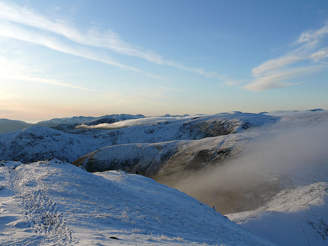
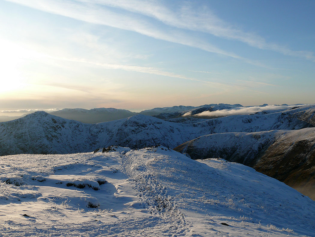
The view across to Tarn Crag and Grey Crag from Harter Fell
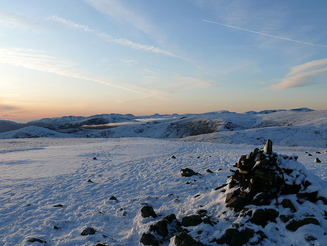
Views from the summit of Harter Fell.....
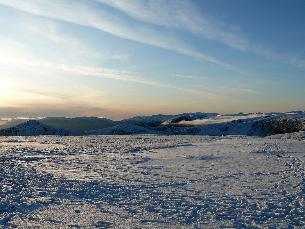
High Street and Kidsty Pike
In the distance, the Coniston fells, Crinkle Crags, Bowfell, the Scafells, Great Gable and Pillar
and Crinkle Crags, Bowfell, the Scafells, Great Gable, Pillar, Fairfield and Helvellyn
Ill Bell and Froswick mid distance
Another shot of Tarn Crag and Grey Crag
Lots more pictures from the summit of Harter Fell.....
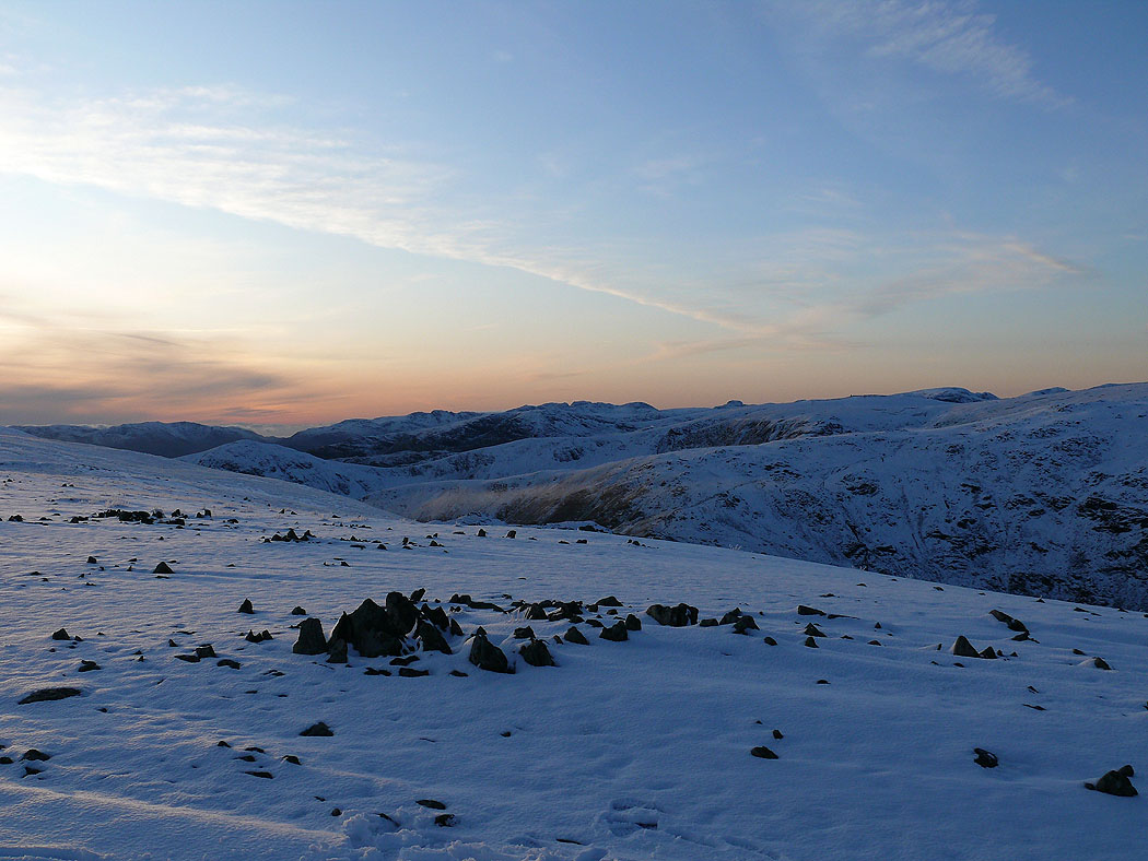
Tarn Crag and Grey Crag with Longsleddale heading away to the right
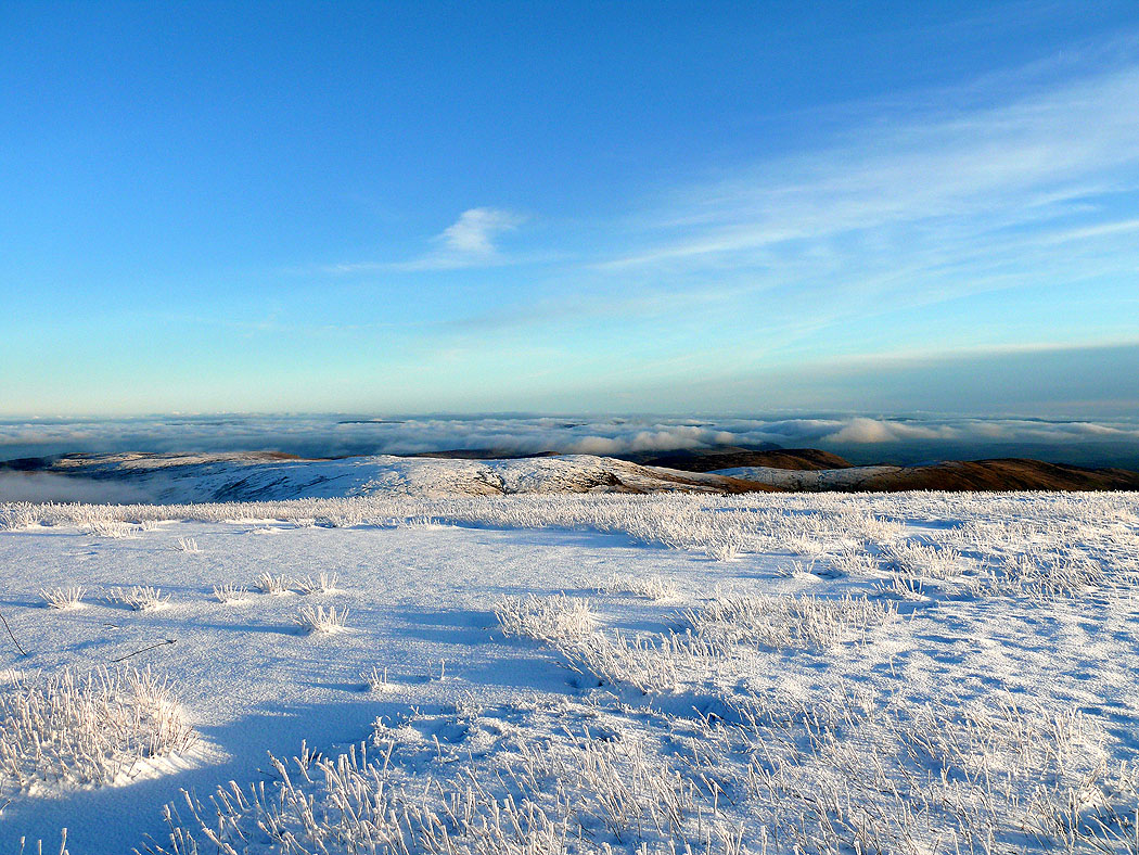
Branstree and Mosedale
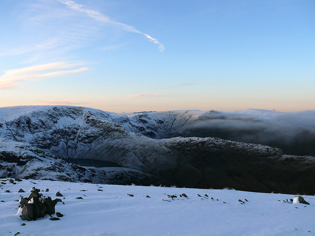
High Street, Blea Water and Rough Crag
One last shot of Branstree before I head down