28th November 2010 - Ingleborough
Walk Details
Distance walked: 9.9 miles
Total ascent: 2227 ft
OS map used: OL2 - Yorkshire Dales, Southern & Western areas
Time taken: 5.5 hrs
Route description: Clapham-Clapdale-Trow Gill-Little Ingleborough-Ingleborough-Simon Fell Breast-Long Scar-Long Lane-Clapham
A walk up Ingleborough from Clapham via Trow Gill and Little Ingleborough. The way back was across Simon Fell Breast and down the track of Long Lane.
Route map
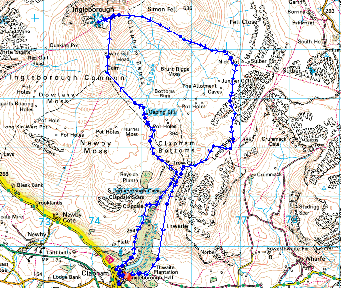
© Crown copyright. All rights reserved. License number PU 100034184.
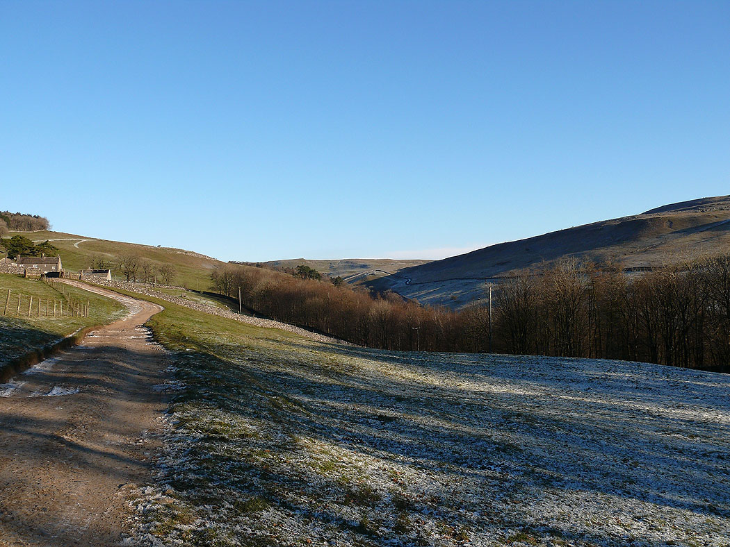
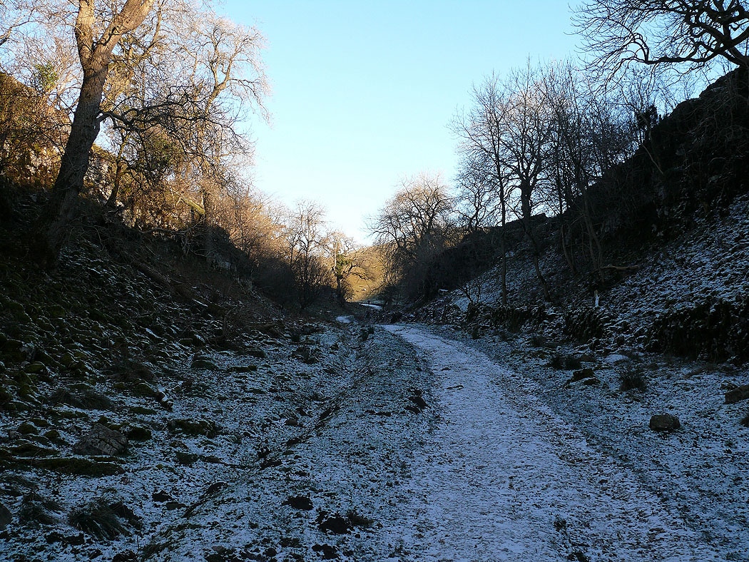
On the track up Clapdale out of Clapham
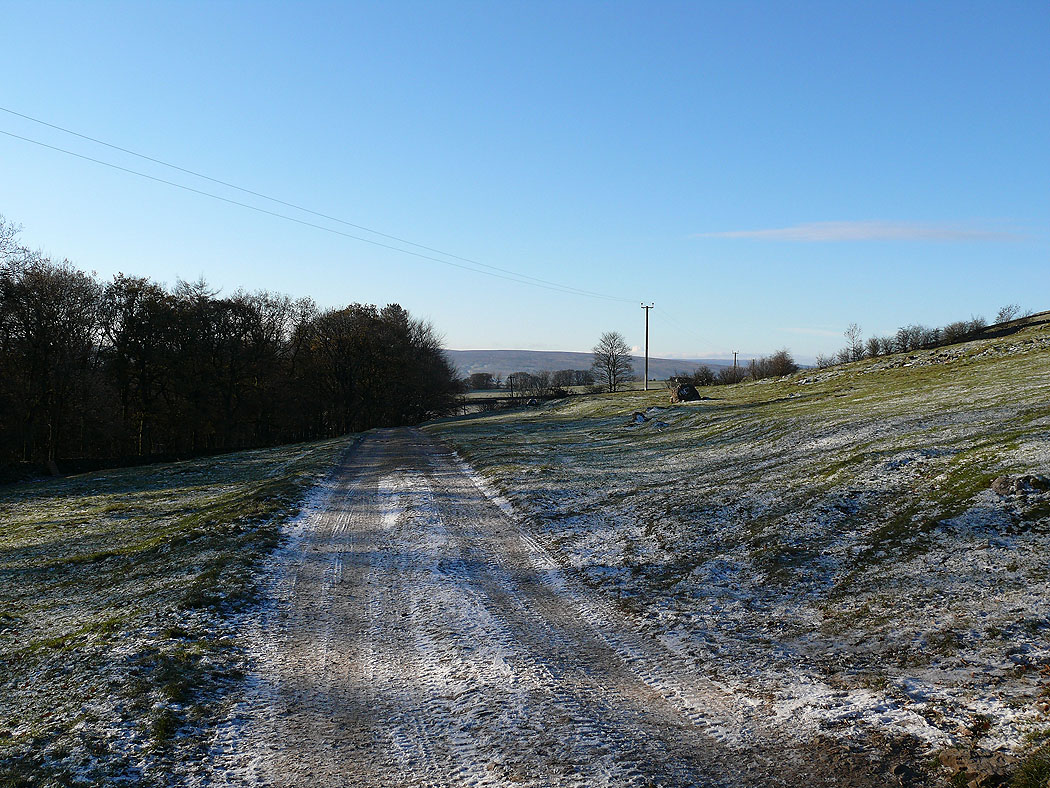
The view back
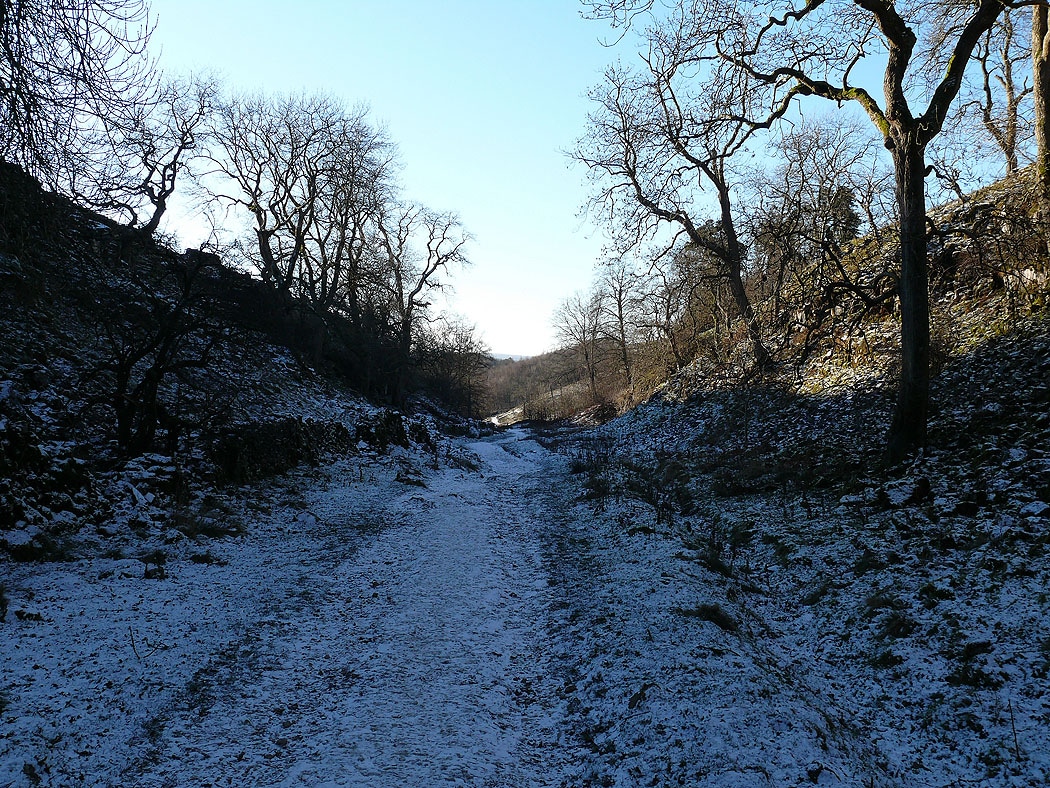
In the dry valley approaching Trow Gill..
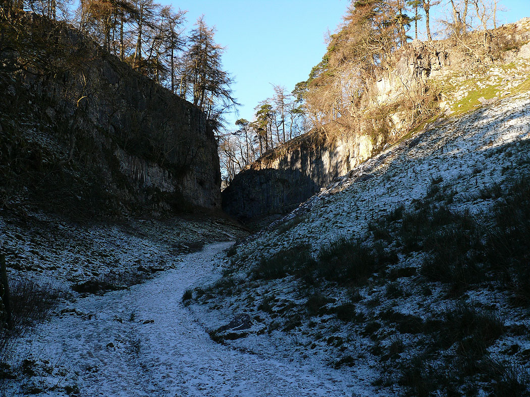
Trow Gill
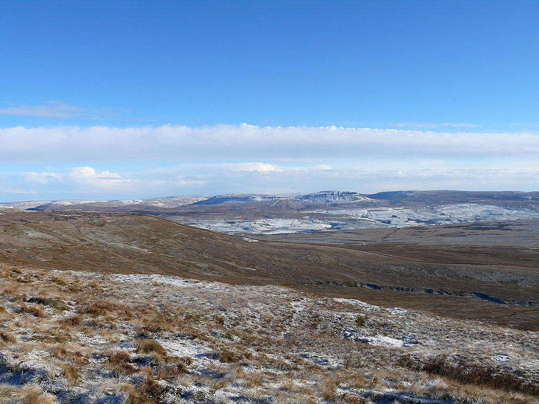
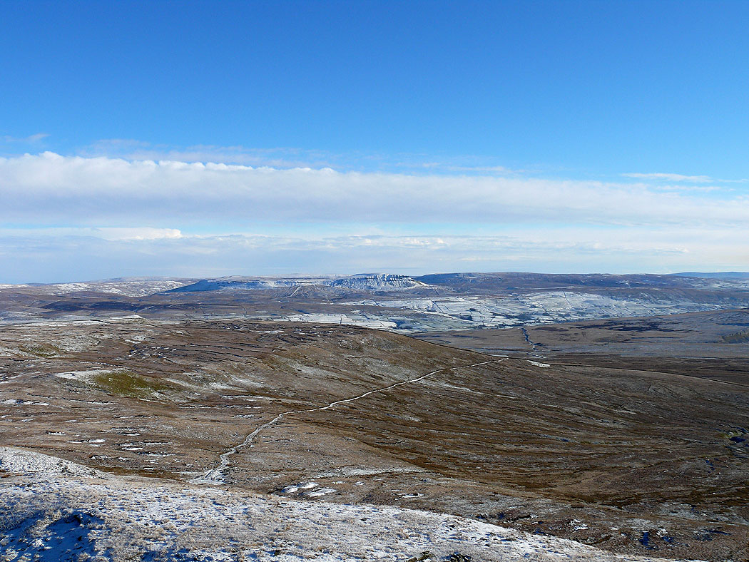
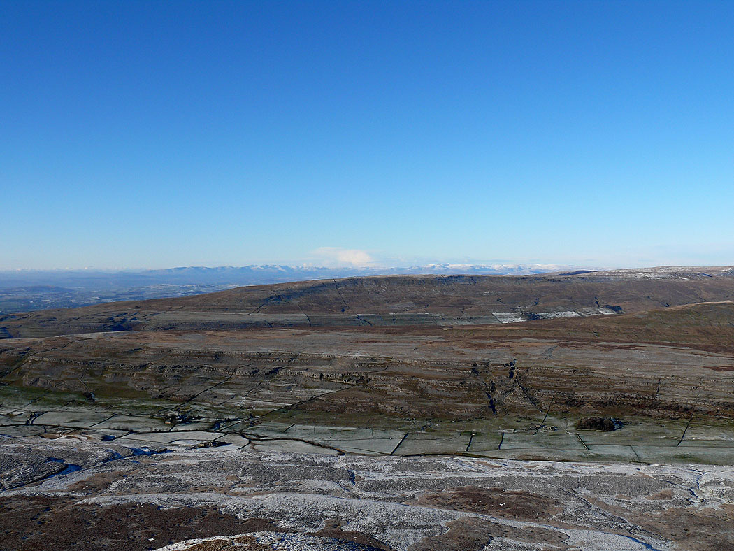
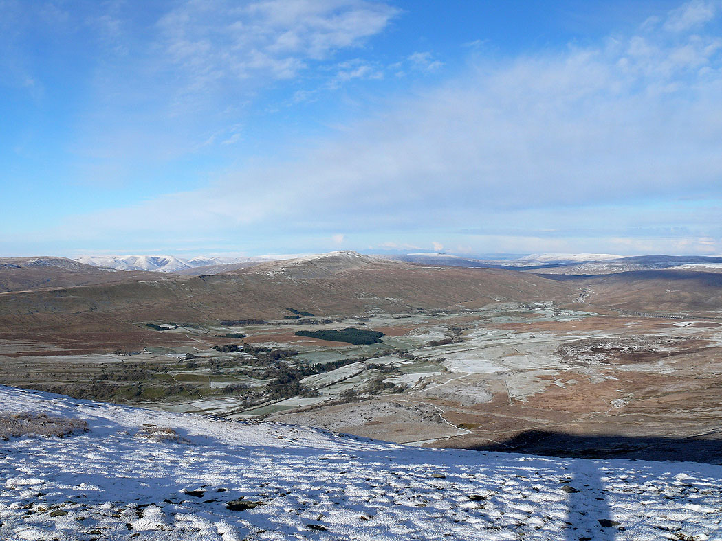
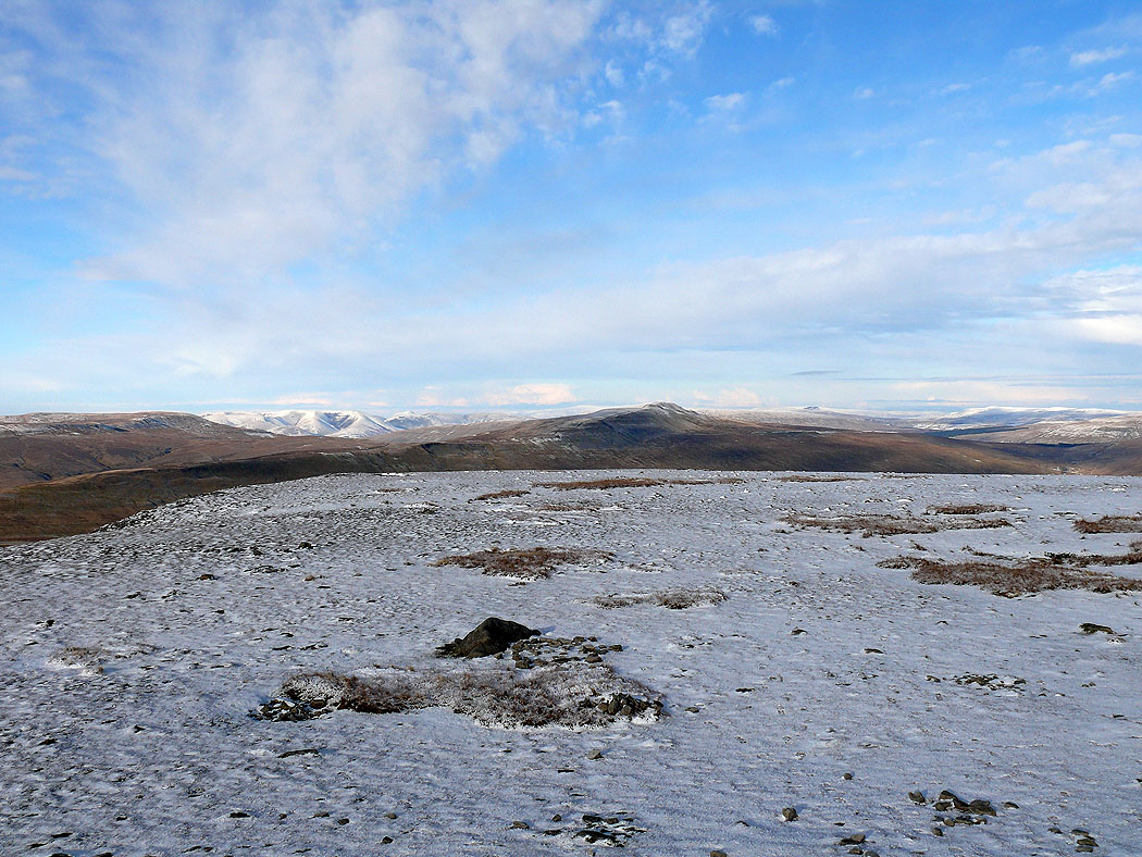
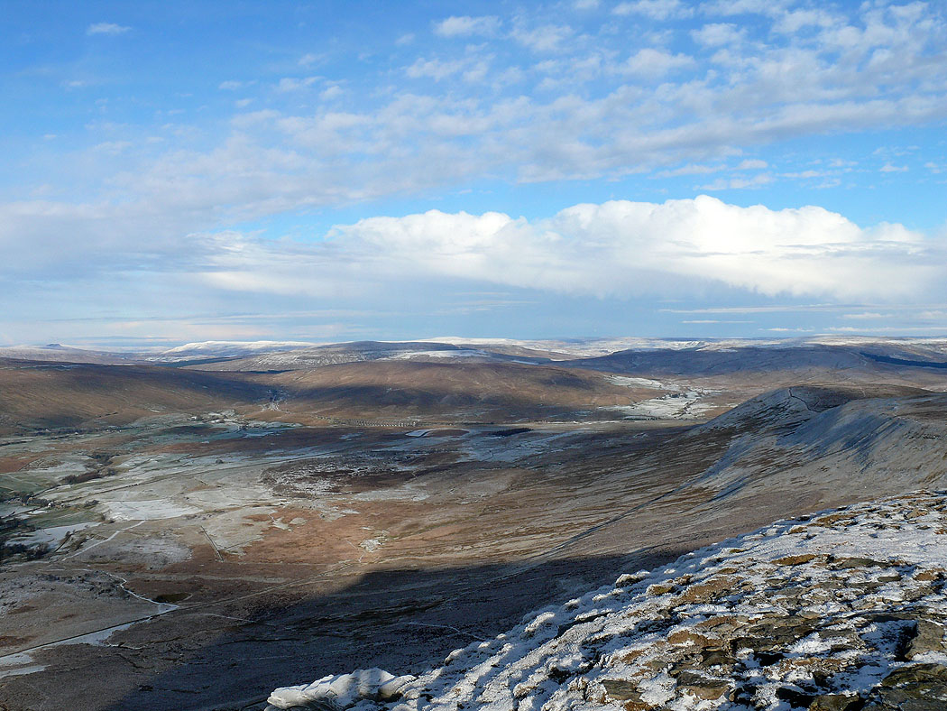
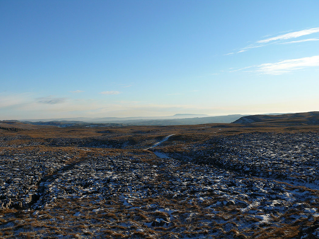
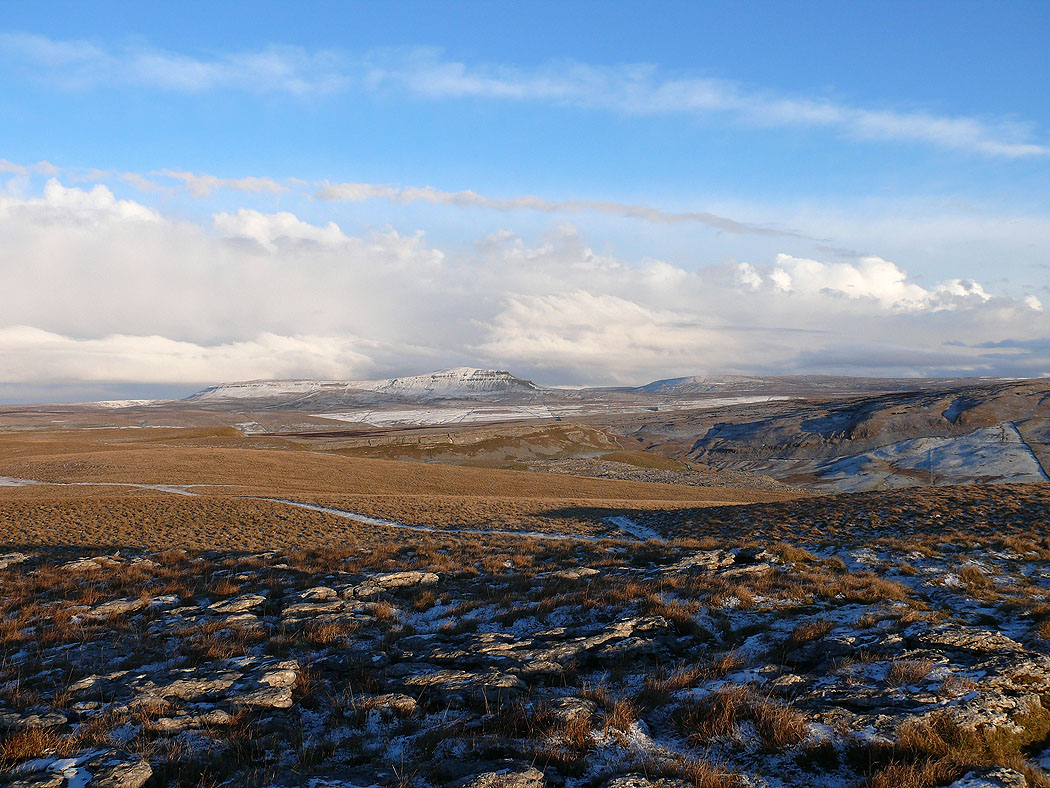
On Little Ingleborough with a view across to Penyghent
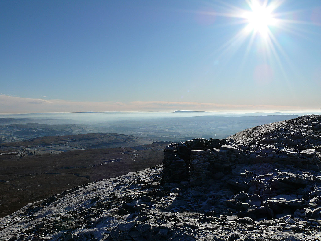
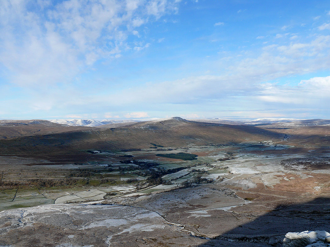
Looking back with Pendle Hill standing proud above the mist
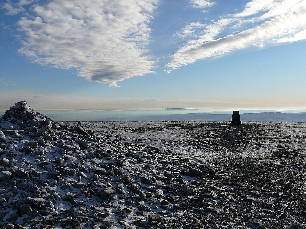
Penyghent from the edge of the Ingleborough summit plateau
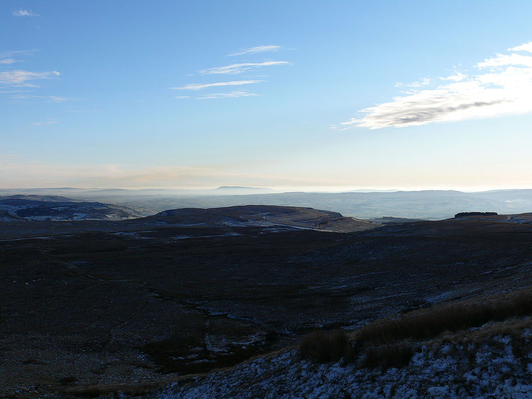
Pendle Hill in the distance
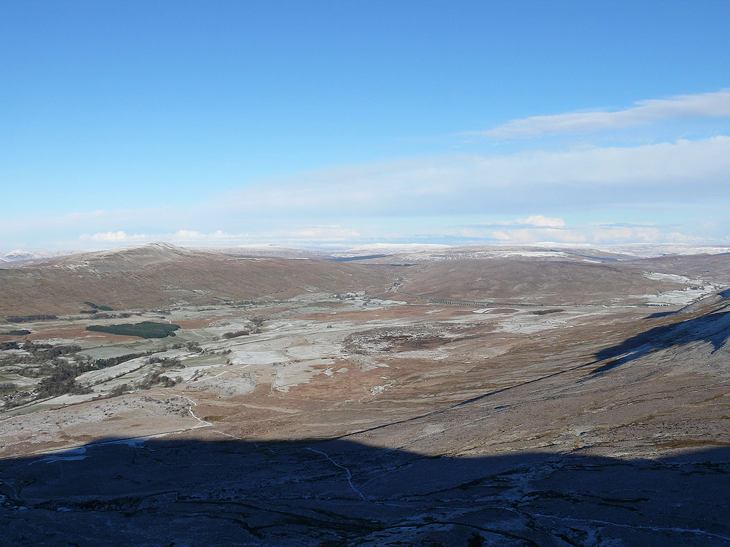
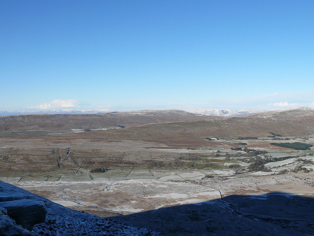
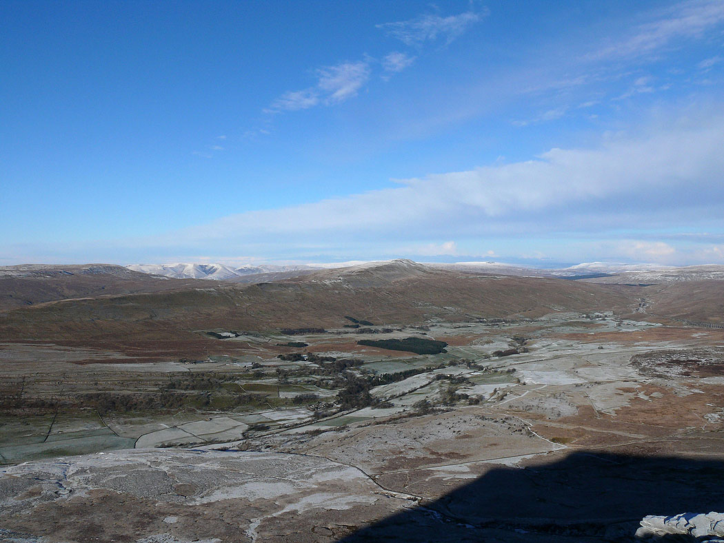
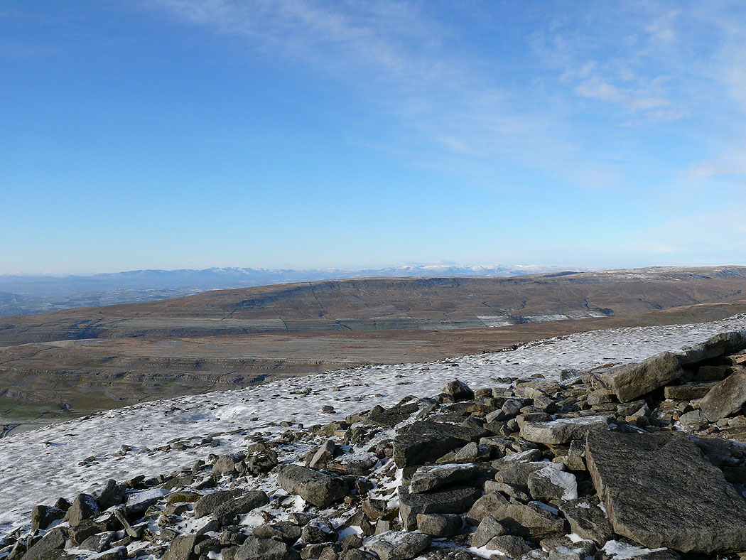
Whernside and Ribblehead
Great Coum and the Howgills with snow
The Lake District fells in the far distance
The Howgills and Whernside
The view towards Ribblehead
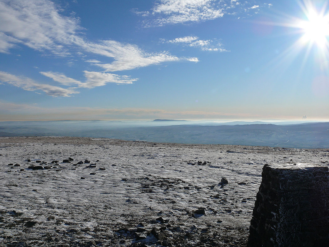
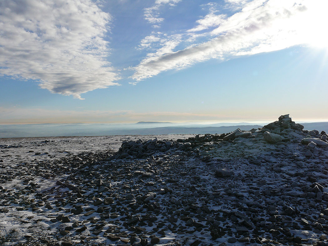
On the summit of Ingleborough. Pendle Hill above the mist.
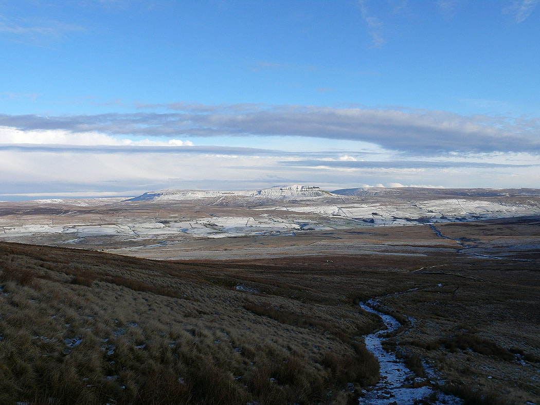
Penyghent
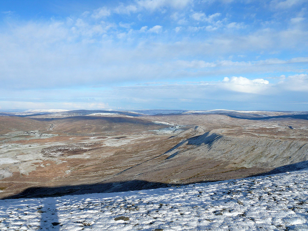
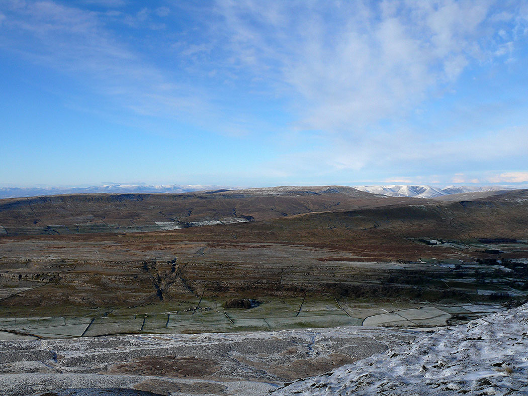
Ribblehead
The Howgills and Whernside
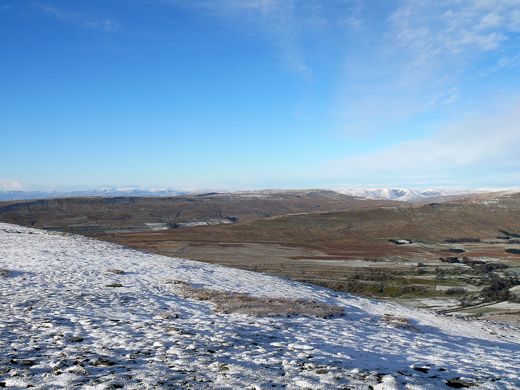
The Lake District and Howgills in the distance beyond Great Coum
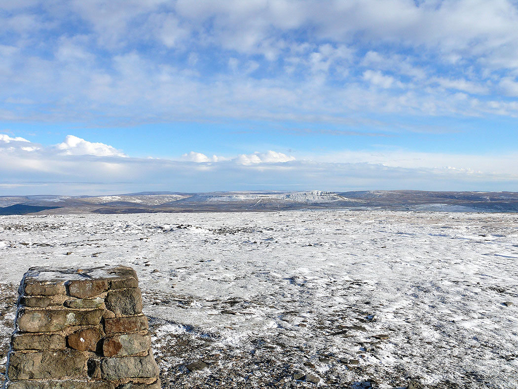
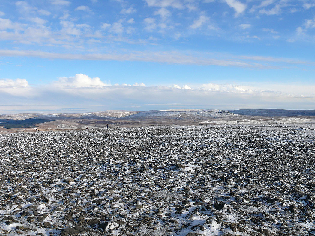
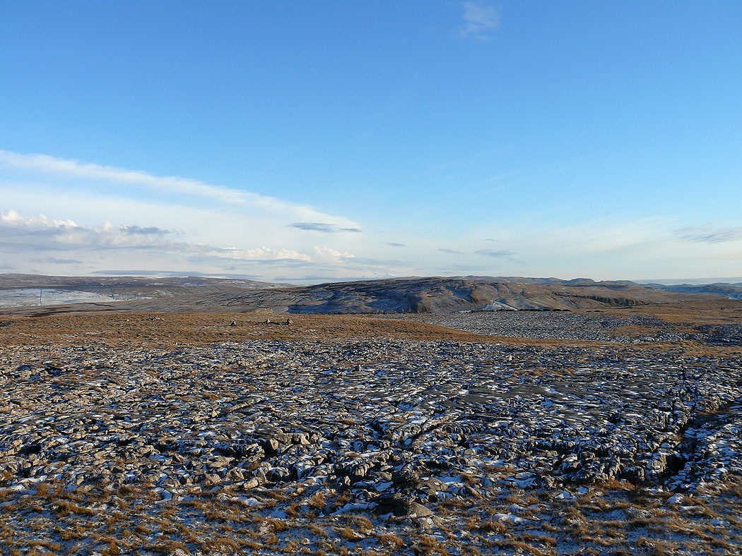
Views across Ingleborough's summit....
The Lake District fells in the distance
The Howgills and Whernside
The Lake District fells in the distance behind Gragareth
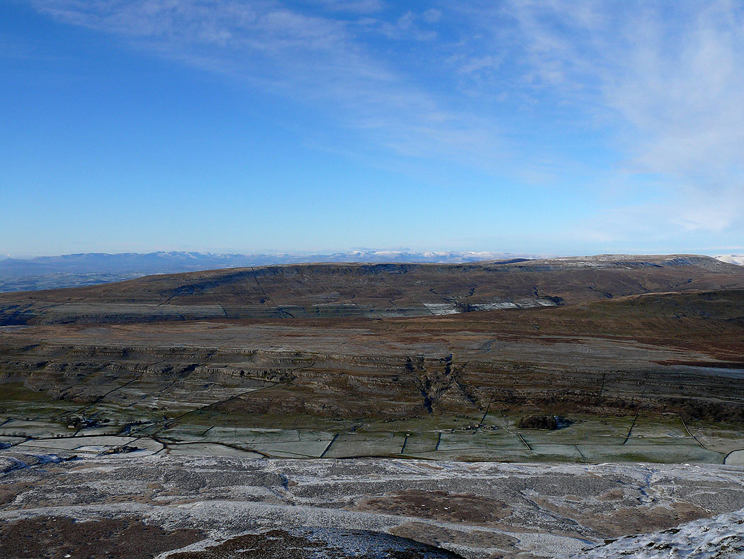
Ribblehead
Whernside
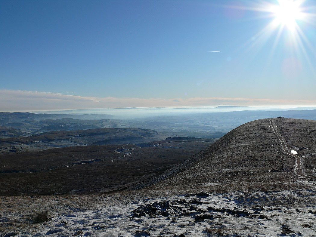
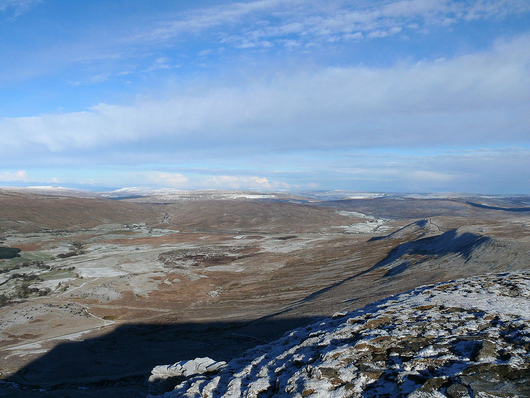
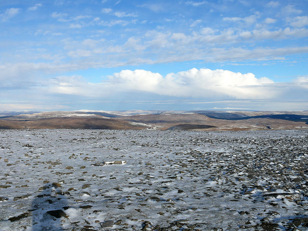
Pendle Hill in the distance as I head across Simon Fell Breast
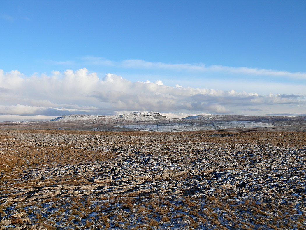
Penyghent
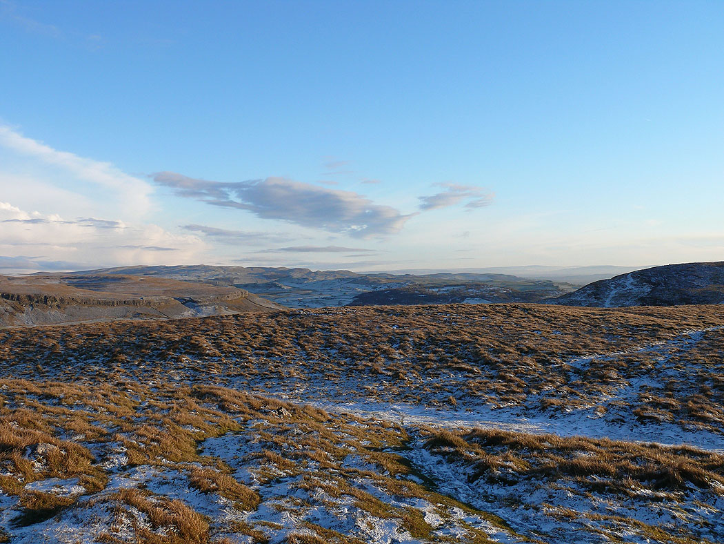
On the limestone pavement of Sulber..
Penyghent..
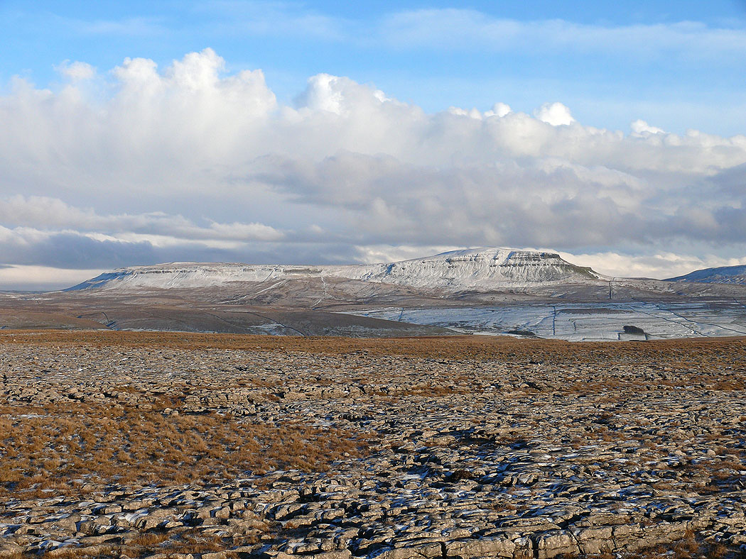
Penyghent from Long Scar. The snow clouds are gathering.
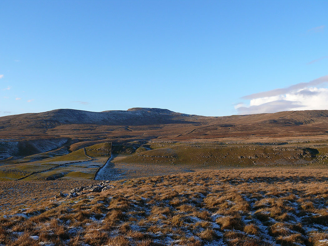
Ingleborough
One last shot before heading back to Clapham. It was really threatening to snow by the time I was driving home.