28th November 2012 - Grit Fell & Clougha Pike
Walk Details
Distance walked: 6.0 miles
Total ascent: 1256 ft
OS map used: OL41 - Forest of Bowland & Ribblesdale
Time taken: 6 hrs (I took my time)
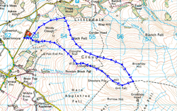
Route description: Rigg Lane-Ottergear Bridge-Grit Fell-Clougha Pike-Clougha Scar-Windy Clough-Rigg Lane
A really cold wind was blowing today but the excellent visibility meant great views. I timed the walk so that I was on Clougha Pike as the sun was starting to set.
I started this walk from the car park on Rigg Lane below Clougha Pike. From there I followed a path around the side of the fell that joins up with a shooters track. I followed this track around the back of Clougha Pike until it reached the col between Grit Fell and Ward's Stone where I left it and made my way up to the summit of Grit Fell. From Grit Fell I then made my way over to Clougha Pike. My route back was a path down past Clougha Scar and Windy Clough then through woodland back to the car park.
Route map
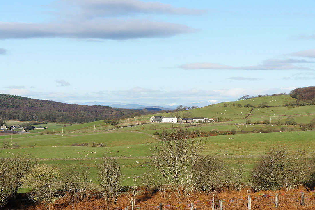
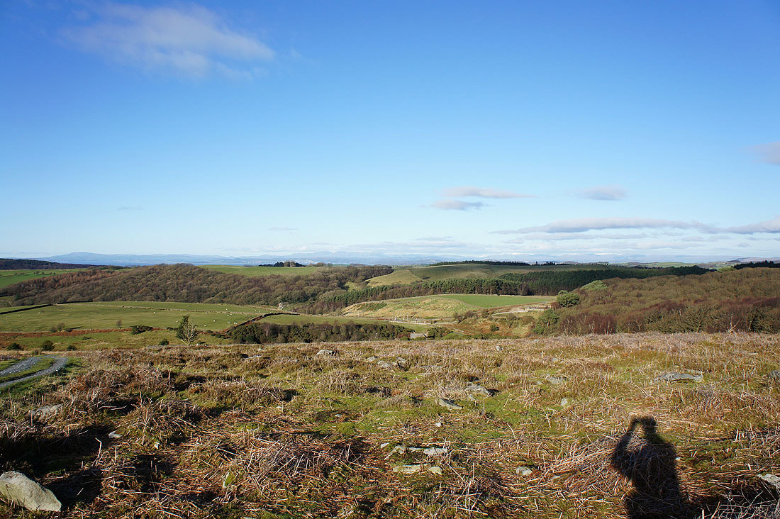
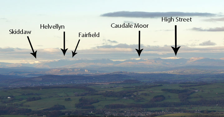
Just five minutes from the car park and I could already make out the Lake District fells in the distance
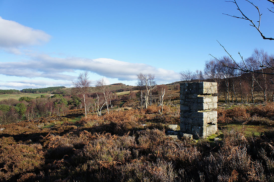
I have no idea who built this stone pillar but it does provide an interesting foreground subject for this view across to the bump of Baines Crag
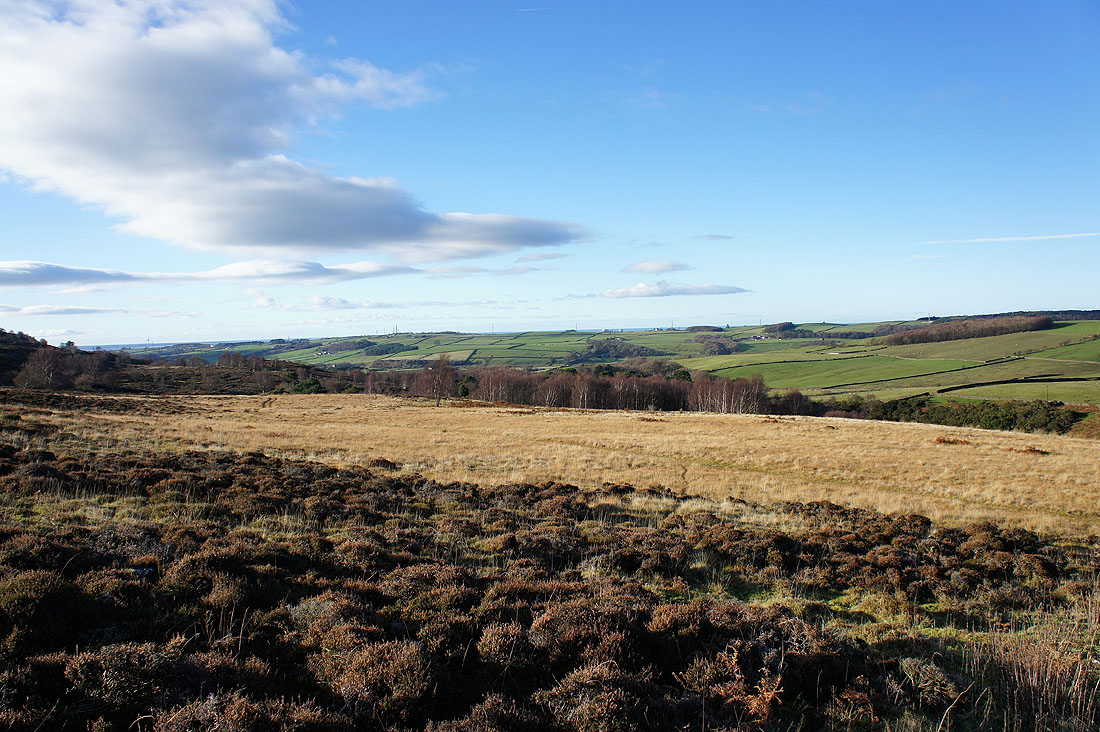
The Condor valley as I head round the back of Clougha Pike
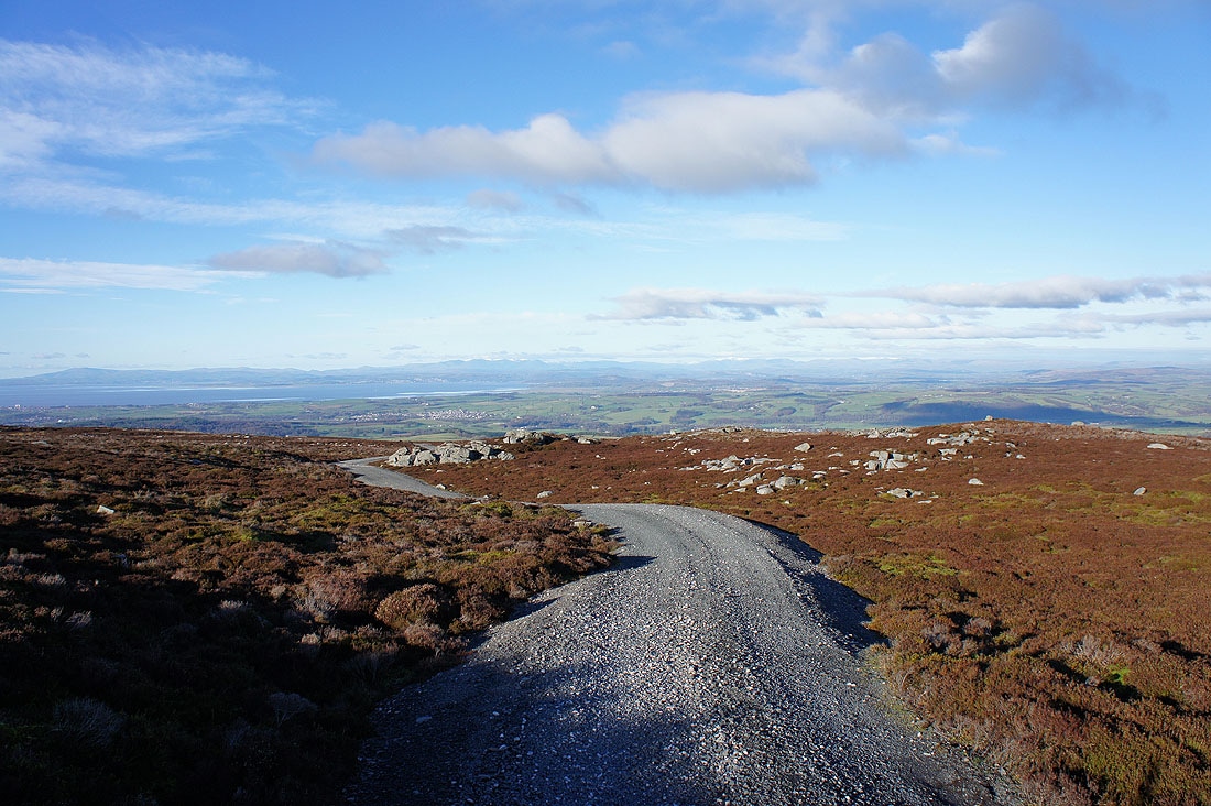
Just a little height has to be gained for the Lake District fells to come into view
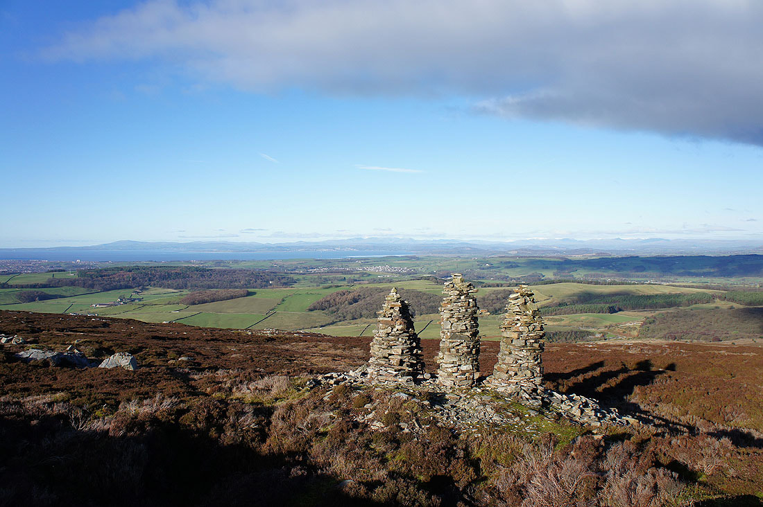
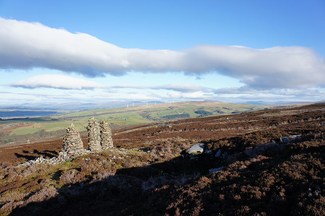
These three cairns just off the track were worth the diversion for the views and for somewhere to sit down
The hills of the Yorkshire Dales join the scene
It's hard to stop myself turning round every few minutes
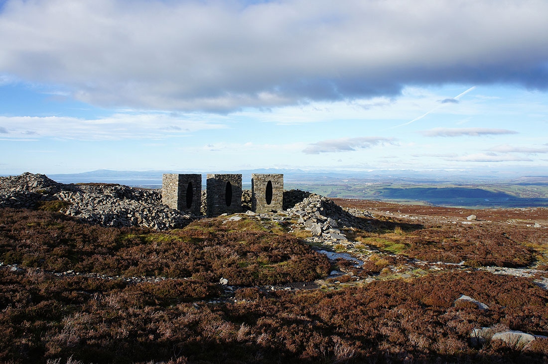
The Andy Goldsworthy "art in the countryside" installation on the northern slopes of Clougha Pike
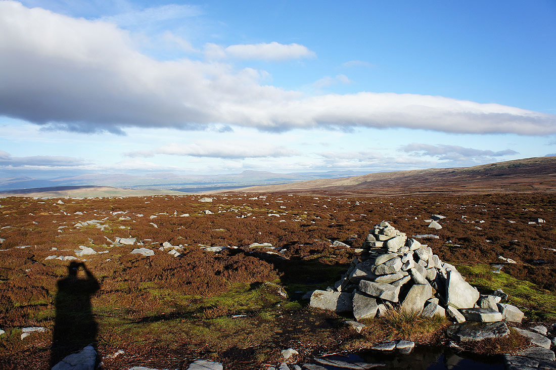
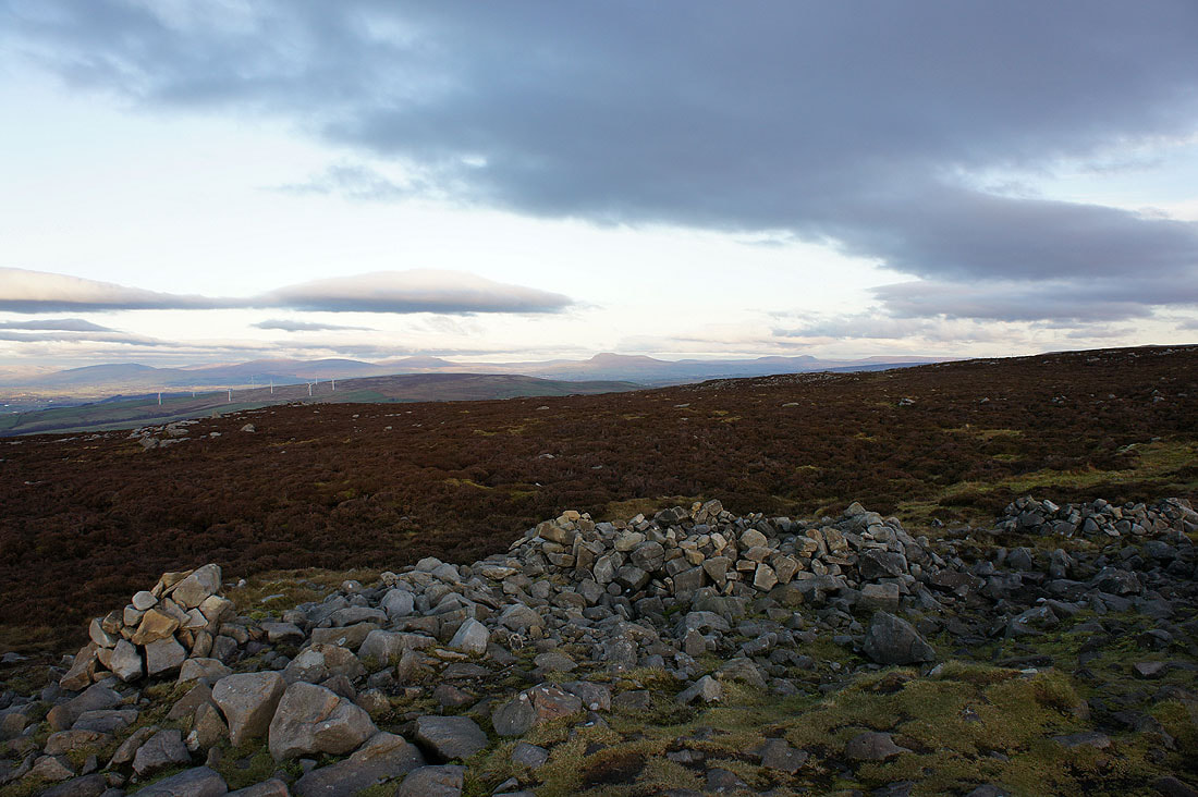
On Grit Fell looking across to Whernside, Ingleborough and Penyghent
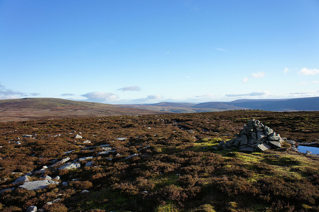
Lots of Bowland fells. That's Ward's Stone on the left.
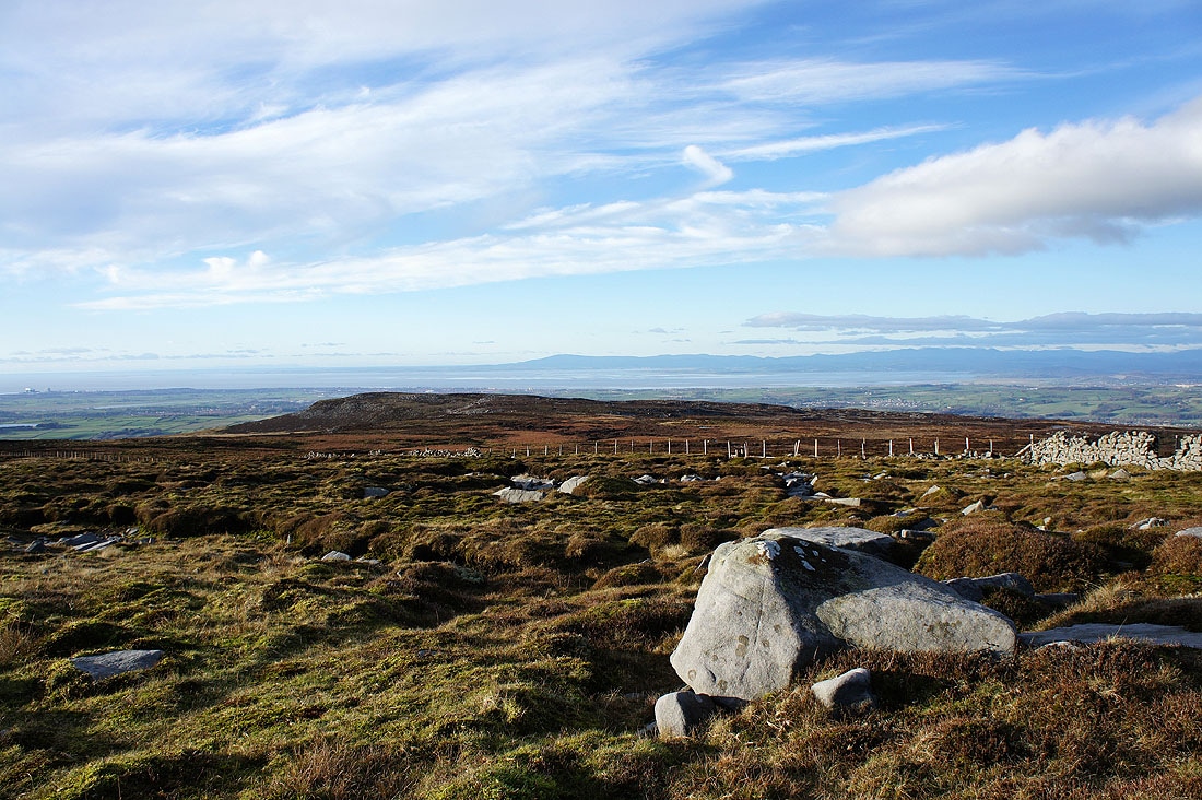
Heading for Clougha Pike
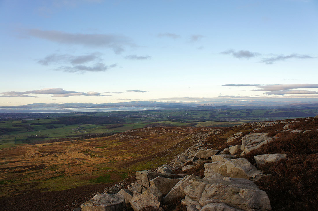
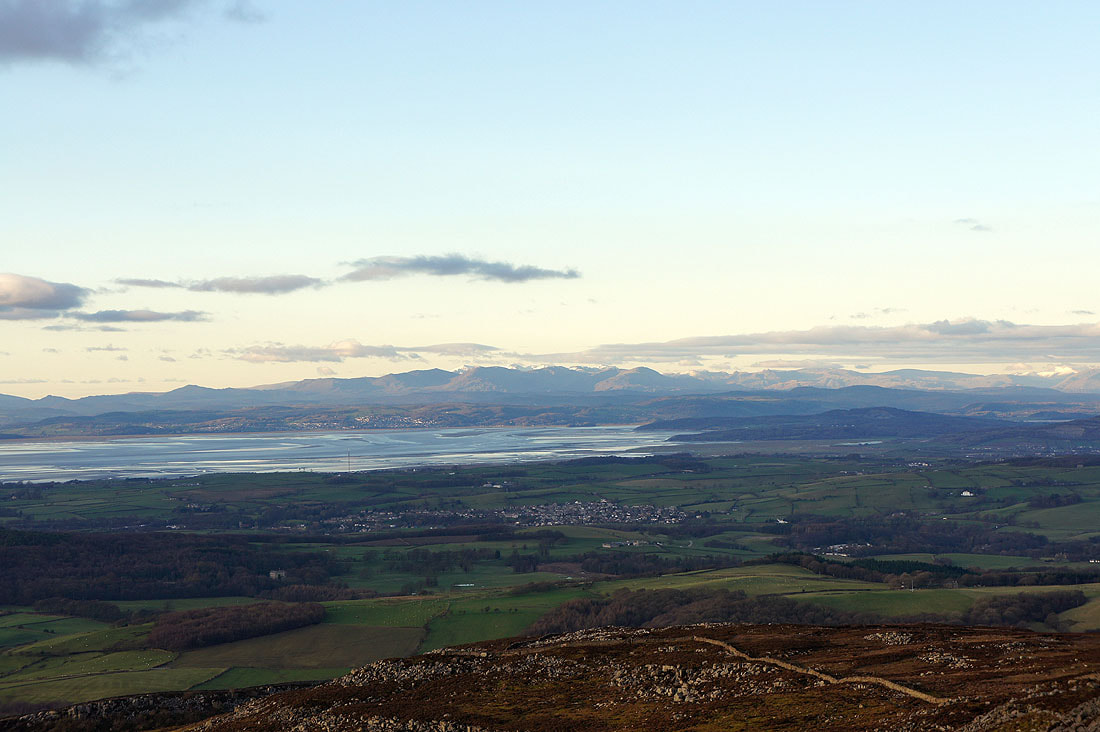
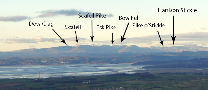
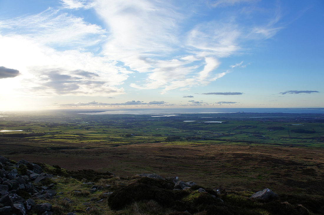
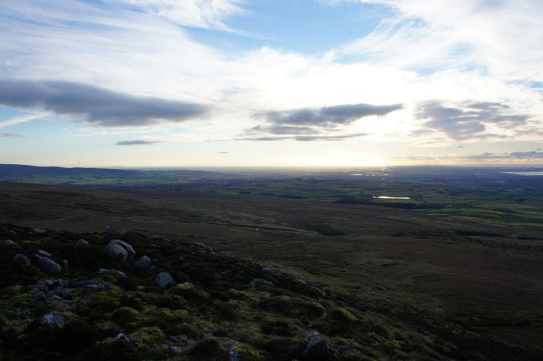
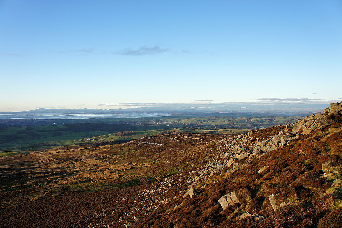
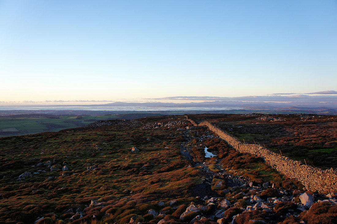
Finally on Clougha Pike. I spent quite a bit of time here taking in the view, waiting for the sun to come out from behind clouds and for the light to change. This is the view along Clougha Scar to Morecambe Bay and beyond. I could make out the Lake District fells really easily and it was surprising just how much detail could be seen.
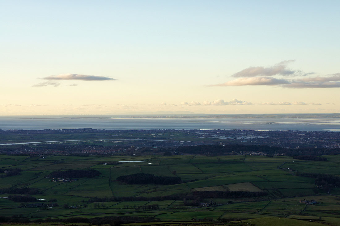
I've zoomed in and then cropped the pictures to pick out the detail
The Lune estuary
Looking down the Flyde coast
The Isle of Man beyond Lancaster and the Furness peninsula
Snowdonia across the Irish Sea
Whernside, Ingleborough and Penyghent in the distance
Another shot along Clougha Scar as the sun comes out
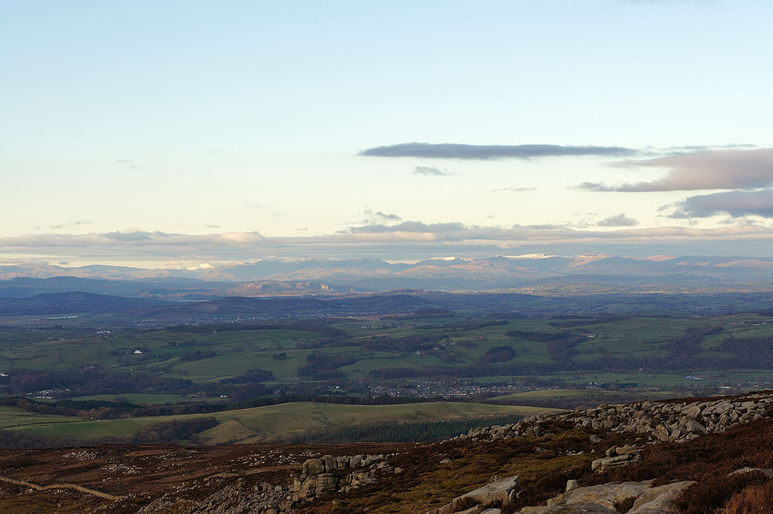
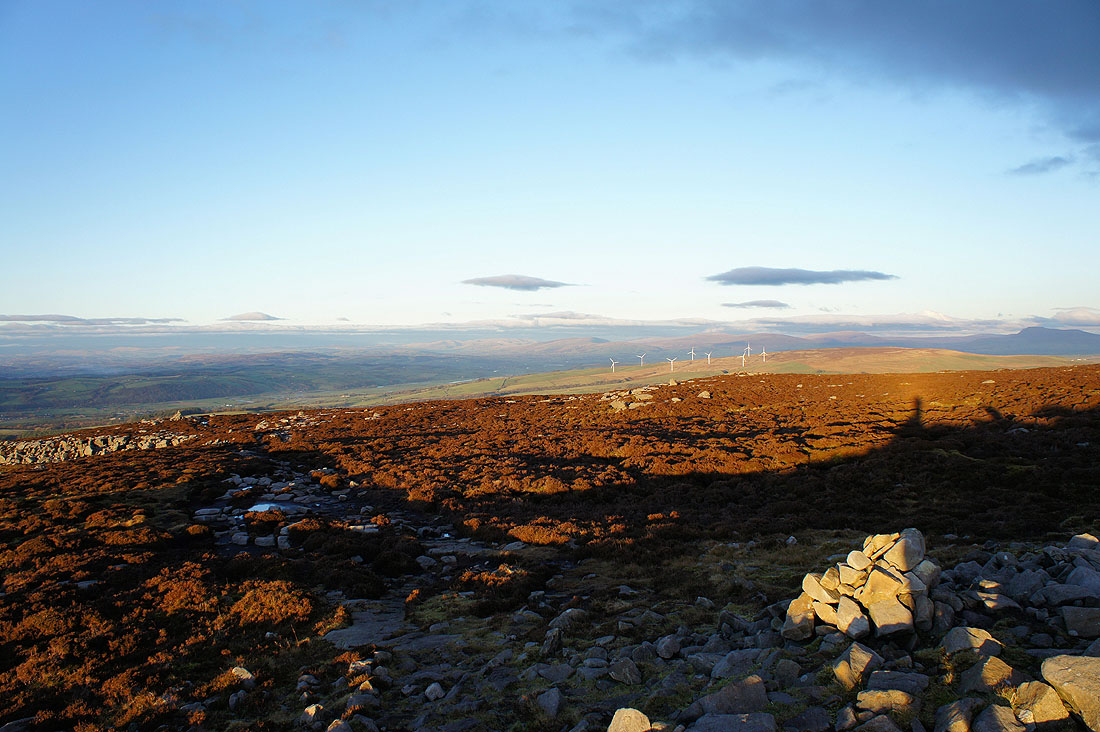
Beyond the windfarm on Caton Moor are the Howgills, Middleton Fell and Great Coum
panorama across Morecambe Bay
Heading down Clougha Scar
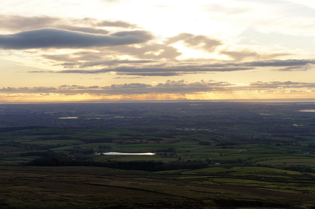
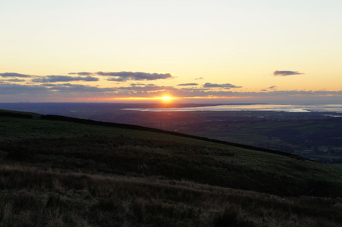
The sun sets over the Lune estuary
