28th November 2021 - Snowy walks from home
Walk Details
Distance walked: 9.3 miles (for Weets Hill)
Total ascent: 1203 ft (for Weets Hill)
OS map used: OL21 - South Pennines
Time taken: 4.5 hrs (for Weets Hill)
Route description (for Weets Hill): Foulridge-B6251-Reedymoor Lane-Sand Hall-Slipper Hill Reservoir-Barnoldswick Road-Blacko Hill-Gisburn Old Road-Weets House Farm-Weets Hill-Duck Pond Farm-Higher View Farm-Lister Well Road-Gisburn Old Road-Blacko Hill-Barnoldswick Road-Slipper Hill Reservoir-Sand Hall-Reedymoor Lane-Foulridge Lower Reservoir-Foulridge
Storm Arwen and a late change in the forecast put paid to the walk that I had planned for this weekend. The storm brought high winds and upland snow Friday night and yesterday morning, and although it brightened up in the afternoon it was still far too windy to be venturing up onto the hills. The forecast for Sunday then changed on Saturday evening from a fine and sunny day to snow arriving by early afternoon. It didn't take me long to decide to see how things looked on Sunday morning and then just do a walk from home if the forecast was no worse. I set off for Weets Hill at 0800, which meant that I got to see the sun rise into the strip of clear skies in the east, but this soon disappeared as the worsening weather advanced, and by 1100 it had started to snow. My walk back home was done in falling snow but with light winds this wasn't an unpleasant experience. A couple of hours after I'd returned home the snow stopped and it started to brighten up, so I decided to walk up onto Noyna Hill to take in the freshly snow covered landscape.
From where I live in Foulridge I walked up to and then west along the B6251, then along Reedymoor Lane to Foulridge Lower Reservoir. I then walked up the track to Sand Hall, took the footpath on the left past Slipper Hill Reservoir and to Slipper Hill, where I crossed the lane and took the footpath opposite past cottages and up the hillside to Barnoldswick Road. After crossing the road I took the footpath opposite from Hollin Hall up onto Blacko Hill and then north until I reached a bridleway on the right, which I took to Gisburn Old Road at Peel's House Farm. I then walked up Gisburn Old Road to its top at Weets House Farm, and from there I took the path to the top of Weets Hill. After a brief pause to take in the view I made my way to the eastern end of the summit and took a path southeast across access land, and then the public footpath to Duck Pond Farm. From Duck Pond Farm I made my way down the bridleway to Higher View Farm, then took the footpath on the right across the moor to Lister Well Road, where I turned right and walked up Lister Well Road to Gisburn Old Road. I then retraced my steps back to Reedymoor Lane, which I crossed to reach Foulridge Lower Reservoir. After walking north by Foulridge Lower Reservoir I took a ladder stile on the left for a footpath up across fields to the B6251 for a return to Foulridge and home.
Route map
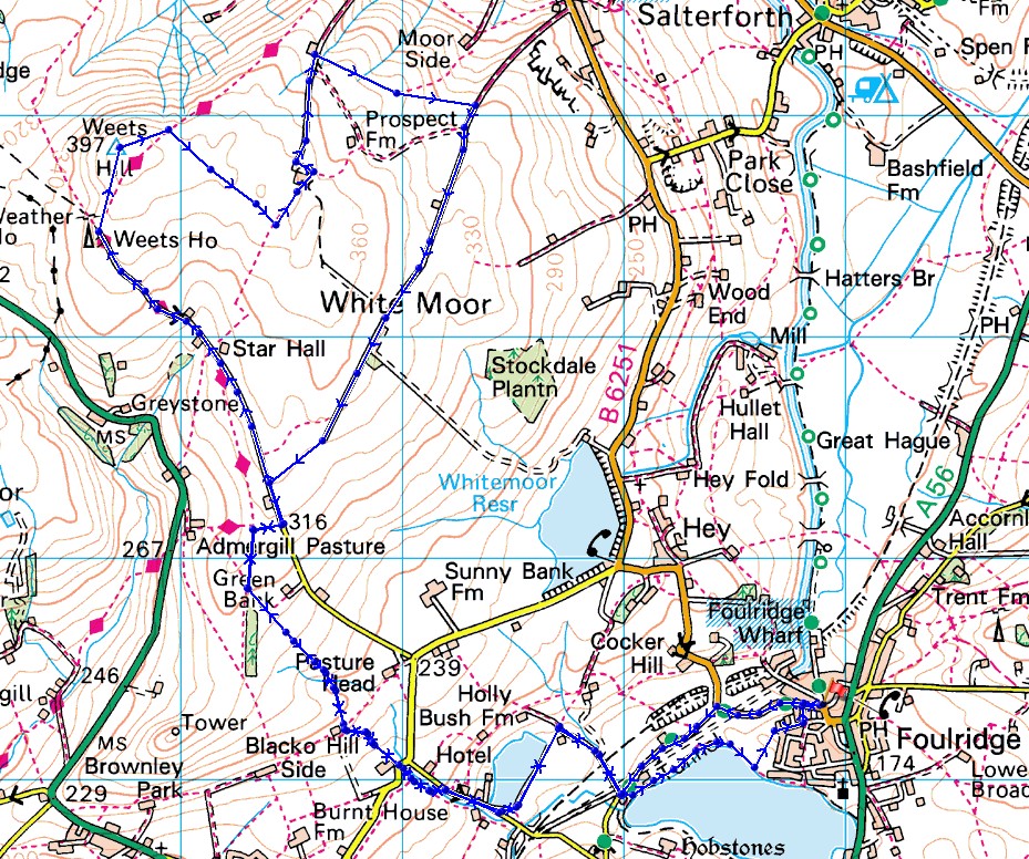
© Crown copyright. All rights reserved. License number PU 100034184.
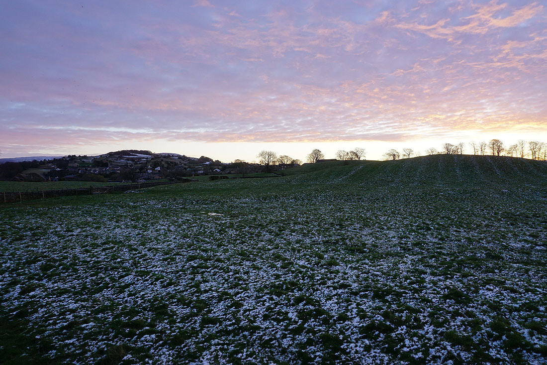
A bit of colour in the sky as the sun starts to rise over Foulridge
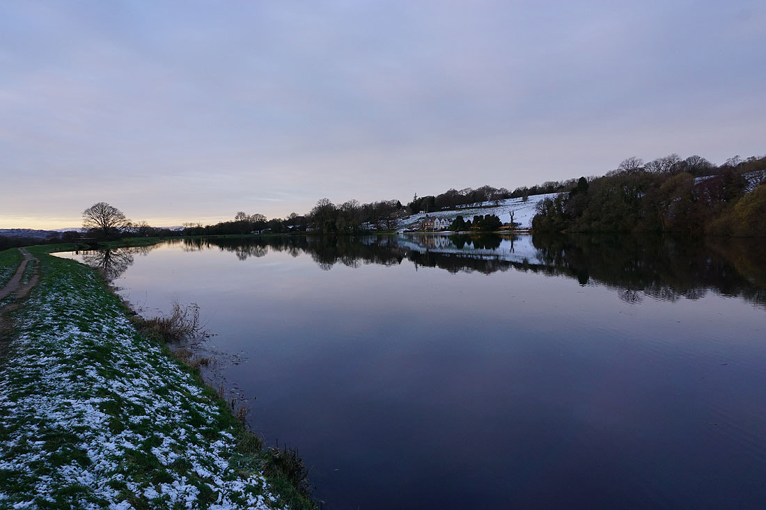
Reflections in a calm Slipper Hill Reservoir..
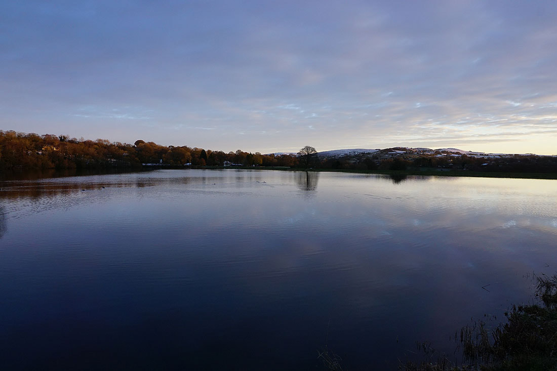
Bleara Moor, Kelbrook Moor and Noyna Hill in the distance from above Slipper Hill Reservoir
Heading up onto Blacko Hill. The sun finally rises over Ickornshaw Moor, Foulridge Lower Reservoir and Boulsworth Hill.
It soon disappears behind the advancing cloud, and that's the last that I'll see of it for some time
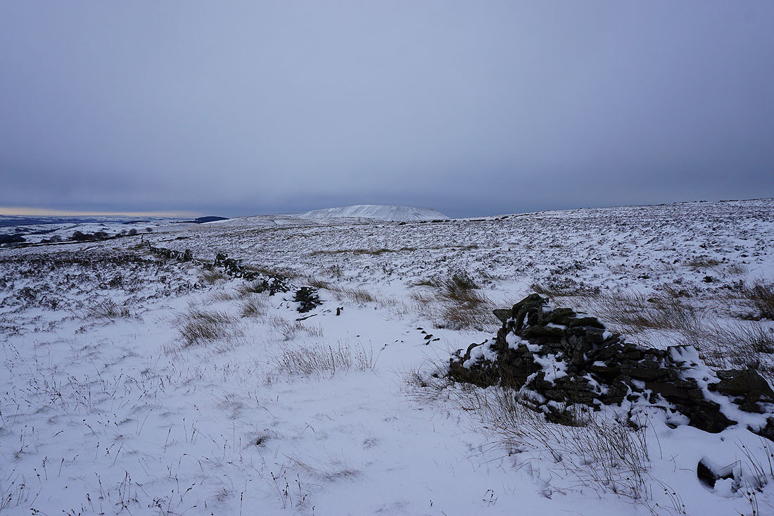
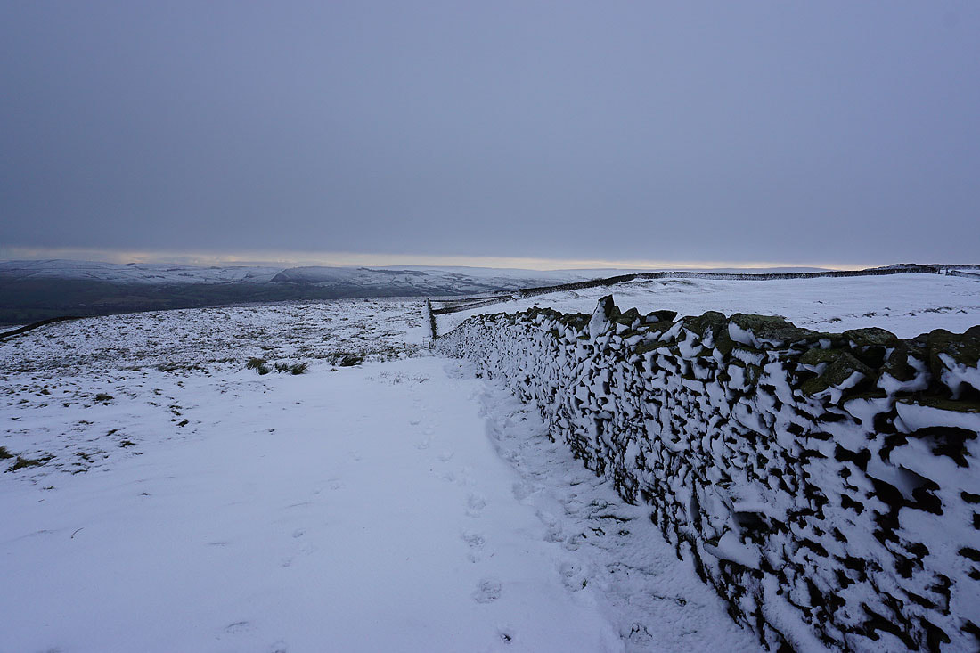
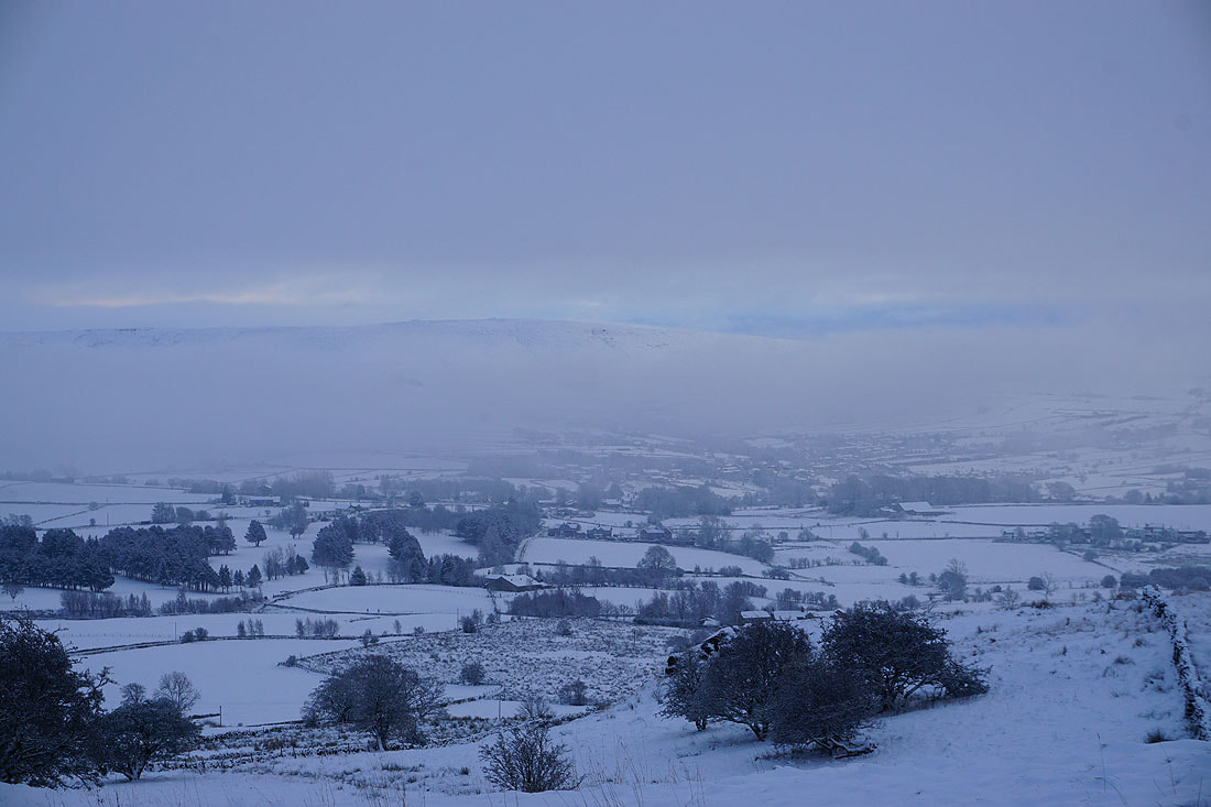
On Blacko Hill. Stansfield Tower on its top and Pendle Hill on the right.
Pendle Hill in the distance from the bridleway to Gisburn Old Road at Peel's House Farm
Pendle Hill and Burn Moor from Gisburn Old Road
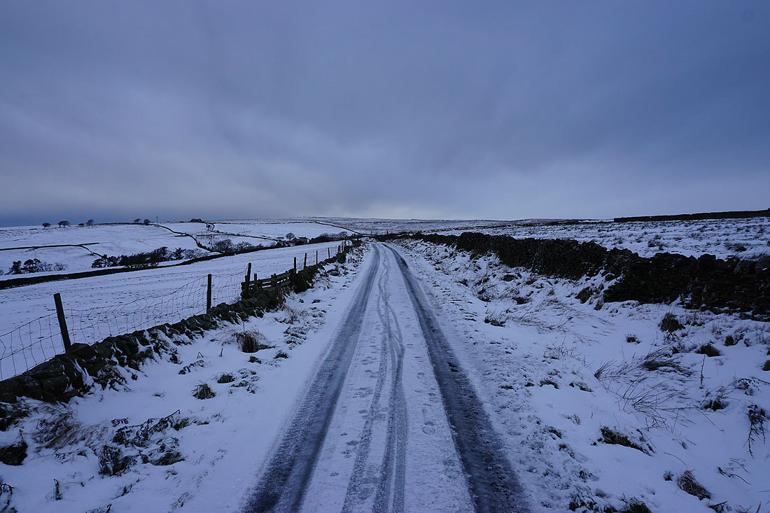
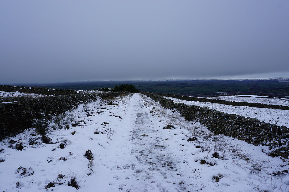
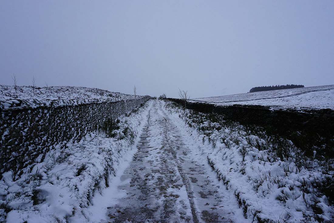
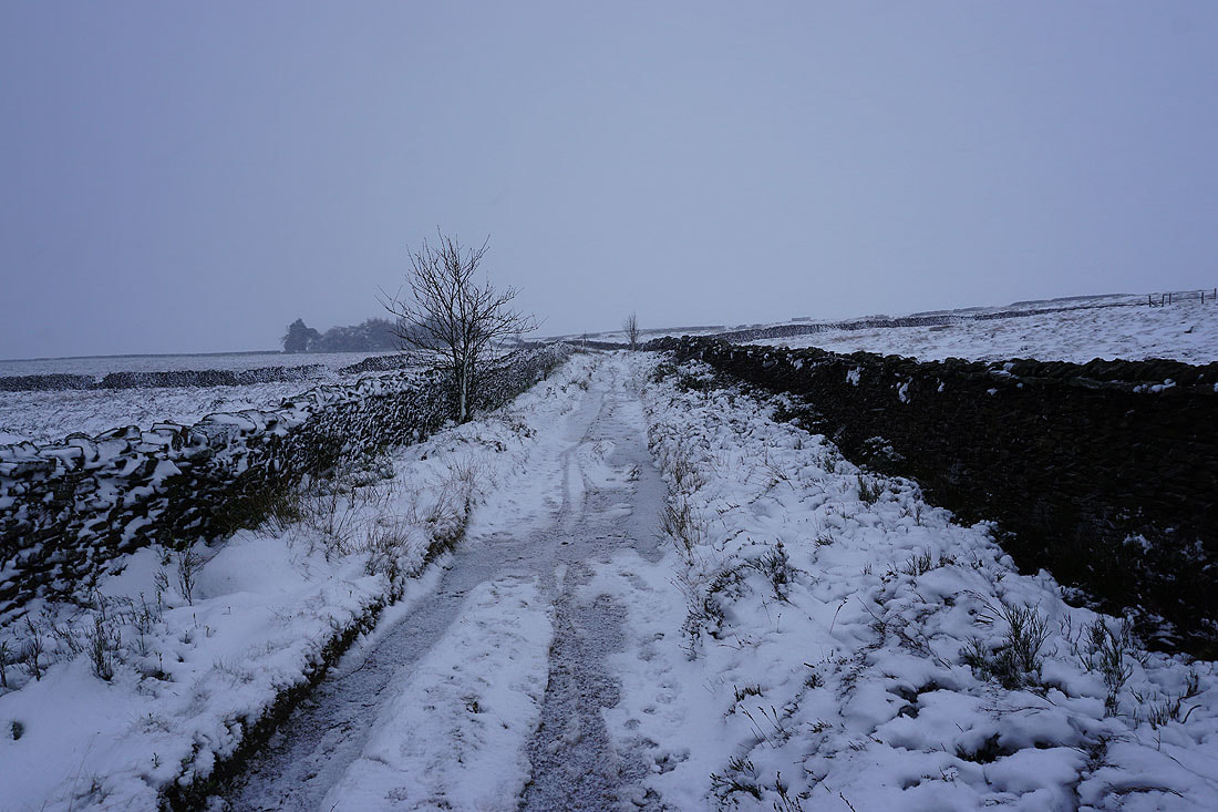
Heading up Gisburn Old Road
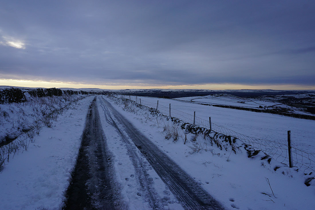
Looking back down Gisburn Old Road. The sliver of bright skies is slowly disappearing.
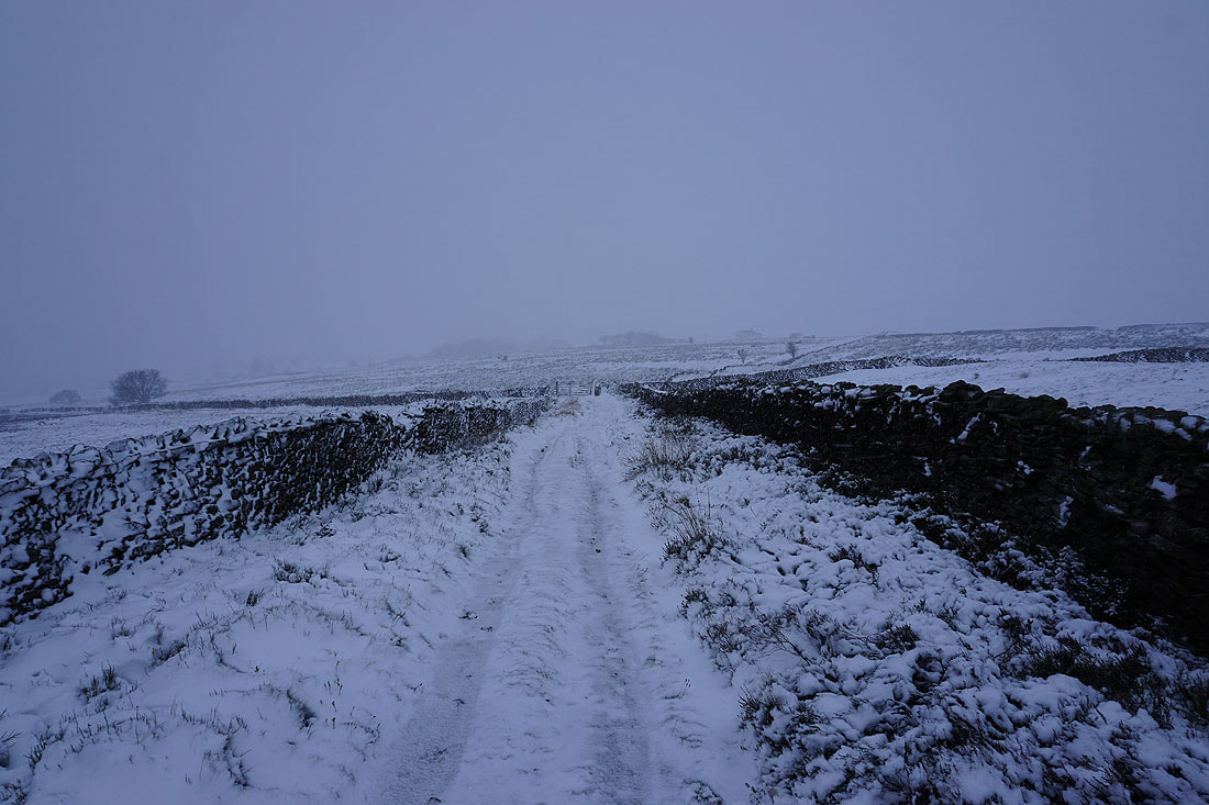
Dark and threatening clouds ahead
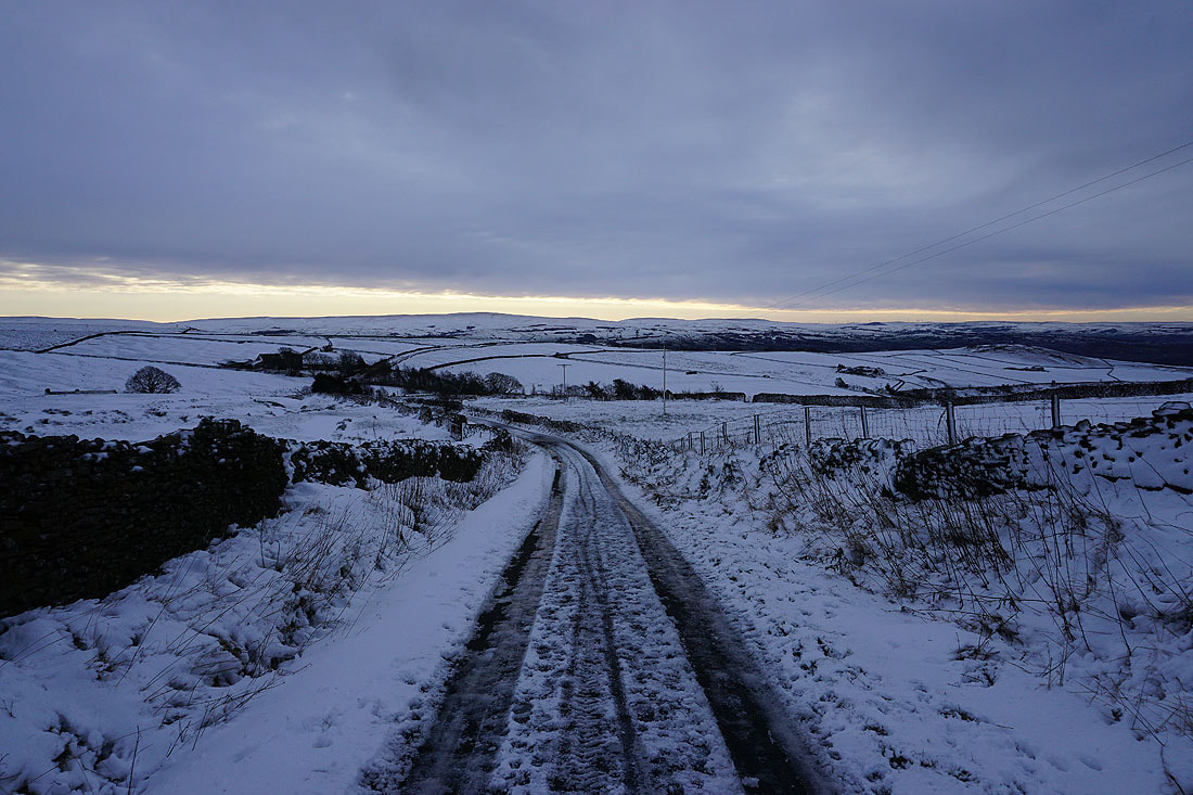
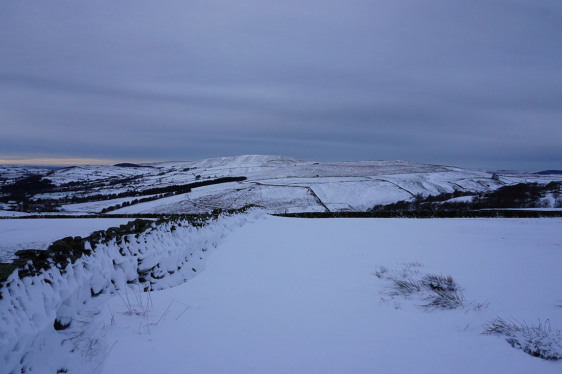
A last look back to Boulsworth Hill in the distance
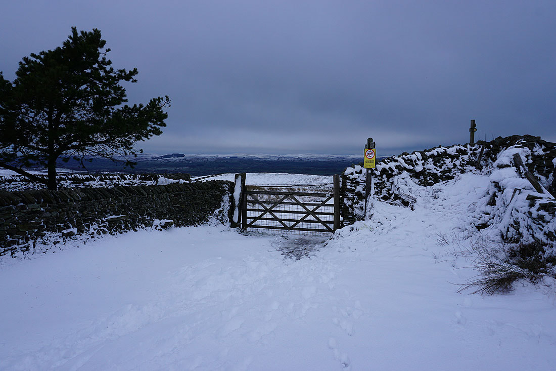
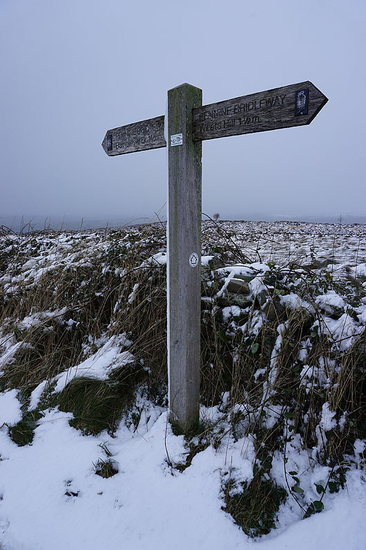
At the top of the Pennine Bridleway by Weets House Farm
On the summit of Weets Hill. I'll quickly take in the view before heading back. To the east, Pinhaw Beacon , Bleara Moor and Kelbrook Moor.
Ickornshaw Moor and Boulsworth Hill to the southeast
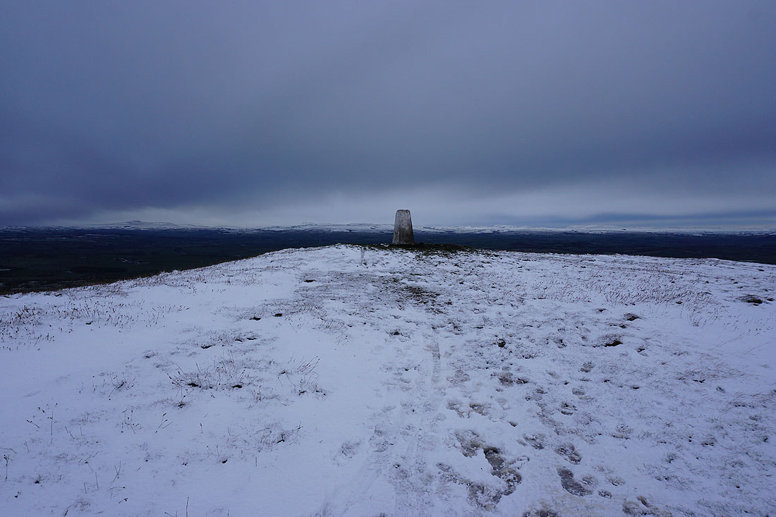
Looking north from the trig point to the Yorkshire Dales. At the moment I can still make out Ingleborough, Penyghent and Great Whernside.
Barden Moor to the northeast
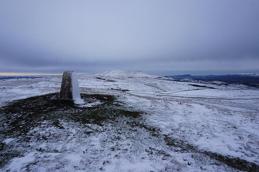
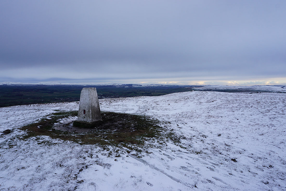
Pendle Hill from the trig point
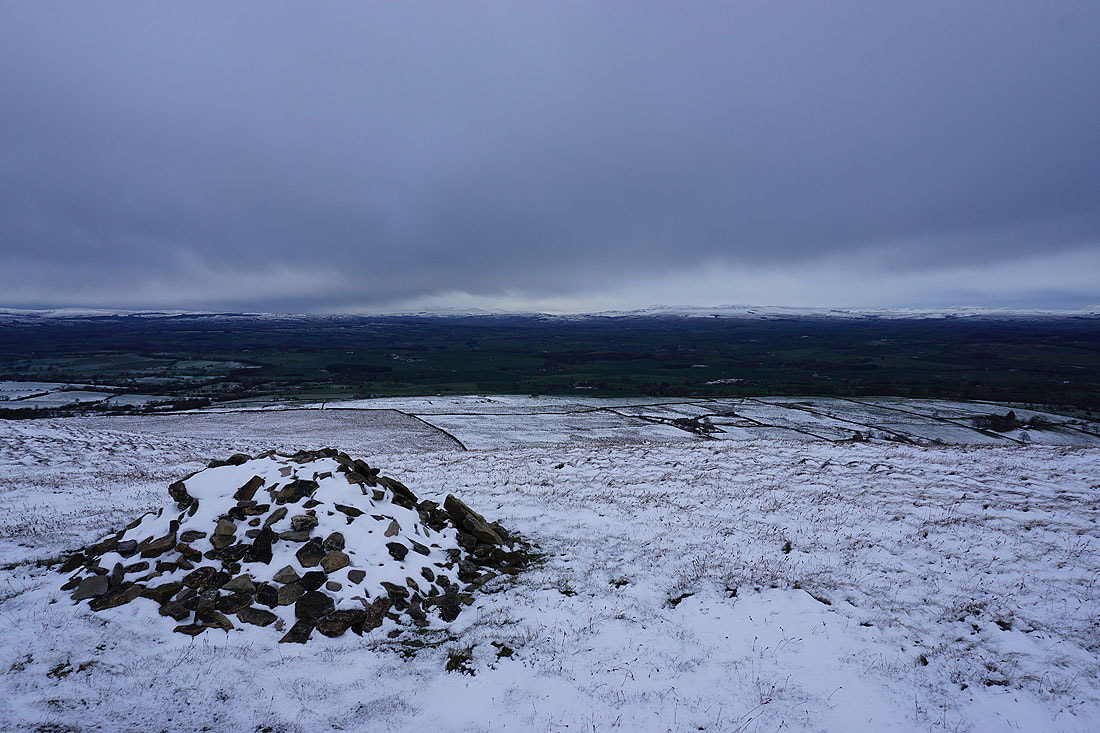
By the cairn at the eastern end of the summit. The view north to the Yorkshire Dales is disappearing.
Barden Moor and Pinhaw Beacon to the northeast
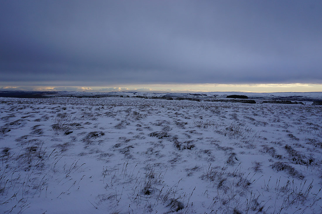
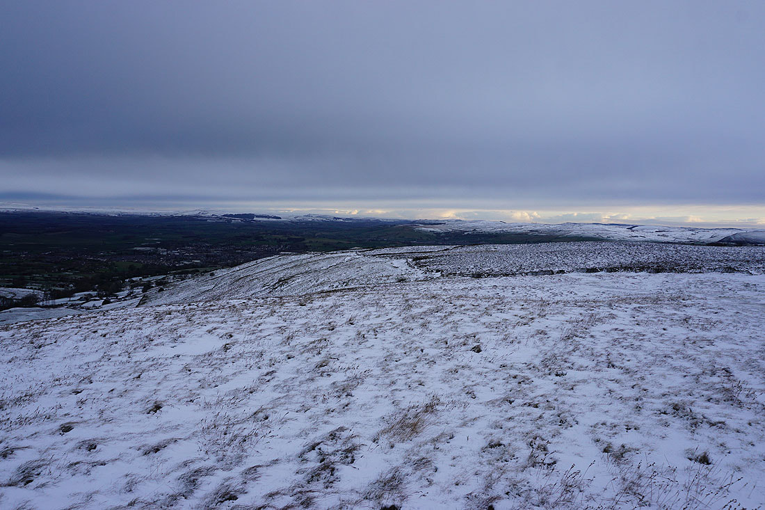
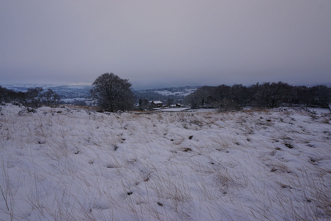
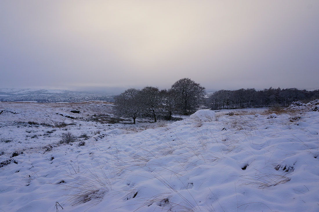
Boulsworth Hill in the distance as I leave the summit and head southeast across access land
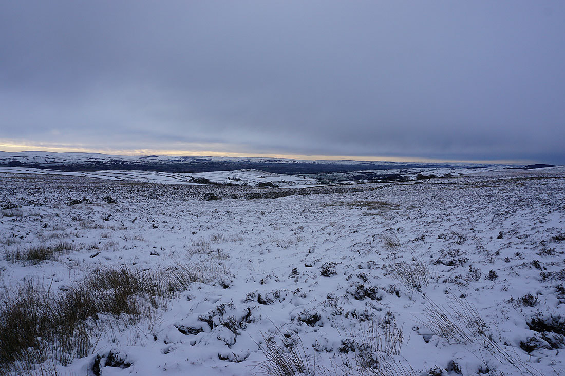
Blacko Hill and the Forest of Pendle..
..and Pendle Hill to my right
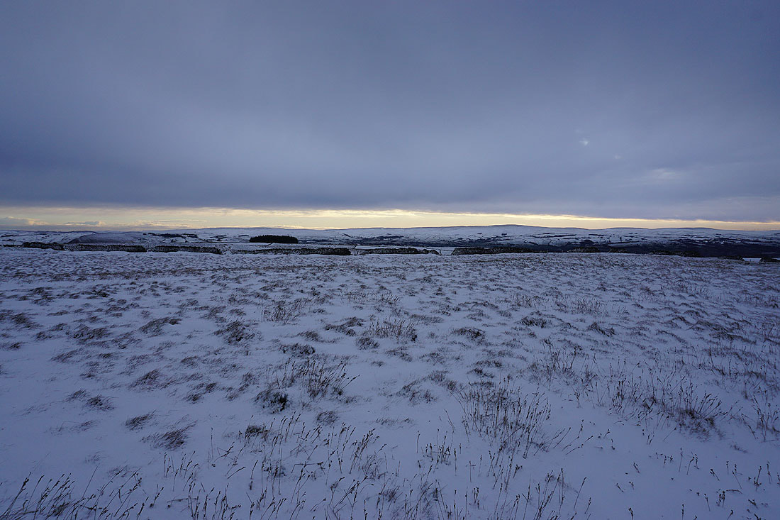
Heading down the bridleway from Duck Pond Farm to Higher View Farm..
Snow is starting to fall as I leave the bridleway for a footpath across the moor to Lister Well Road
Joining the bridleway of Lister Well Road
Heading up Lister Well Road
Looking back down and the falling snow is having no trouble sticking to the cold ground
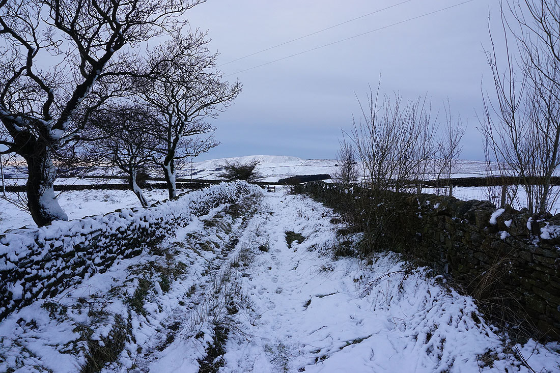
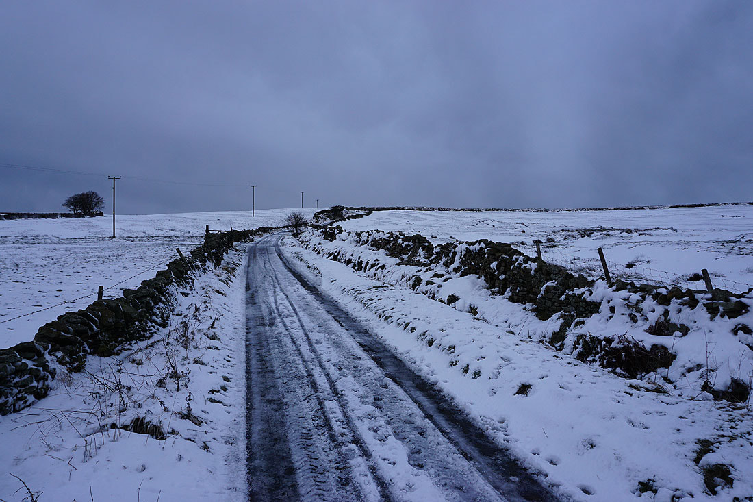
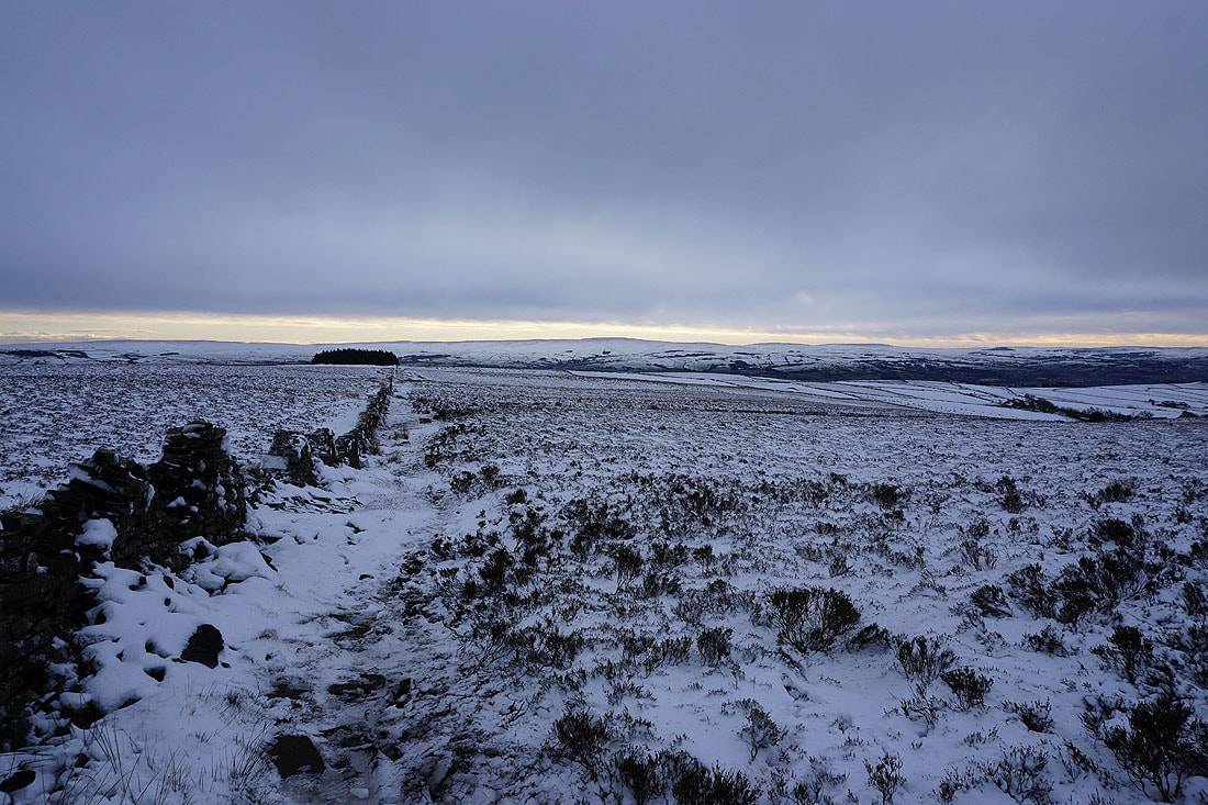
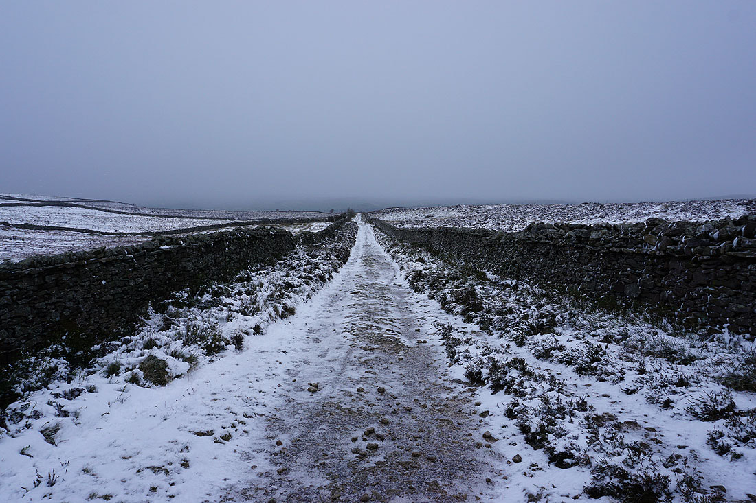
Following Lister Well Road across to Gisburn Old Road..
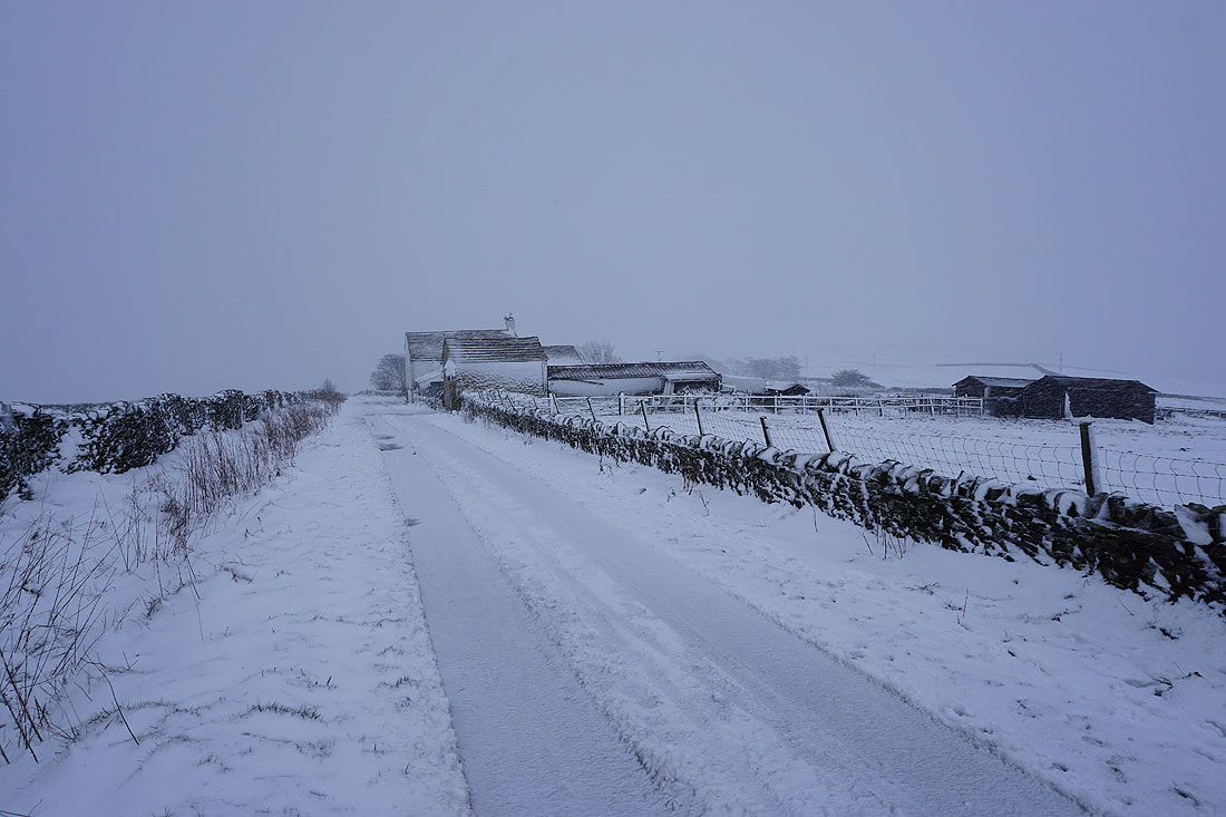
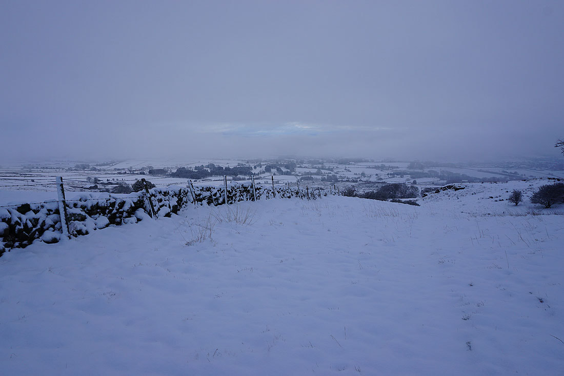
Back at Gisburn Old Road with Peel's House Farm ahead. I'll take a bridleway on the right just past it.
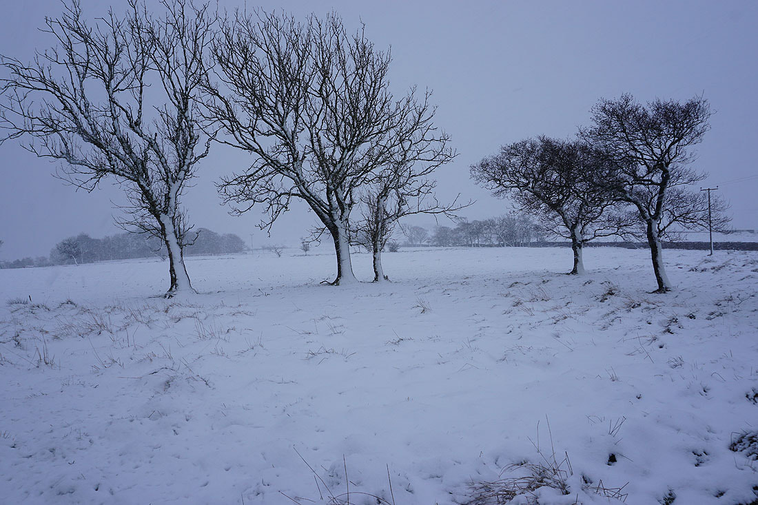
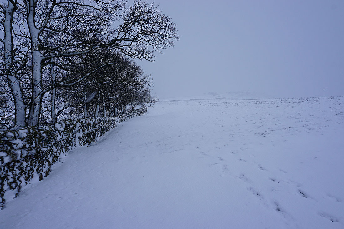
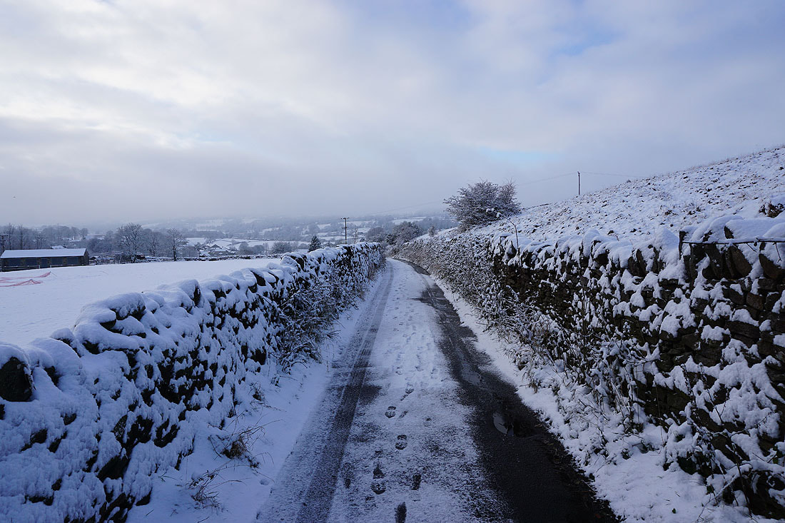
The stark outlines of snow covered trees
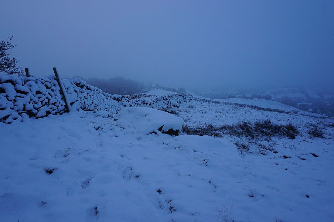
Heading across Blacko Hill..
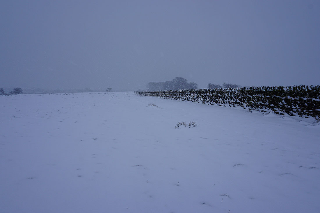
The snow is settling on Barnoldswick Road as I cross it
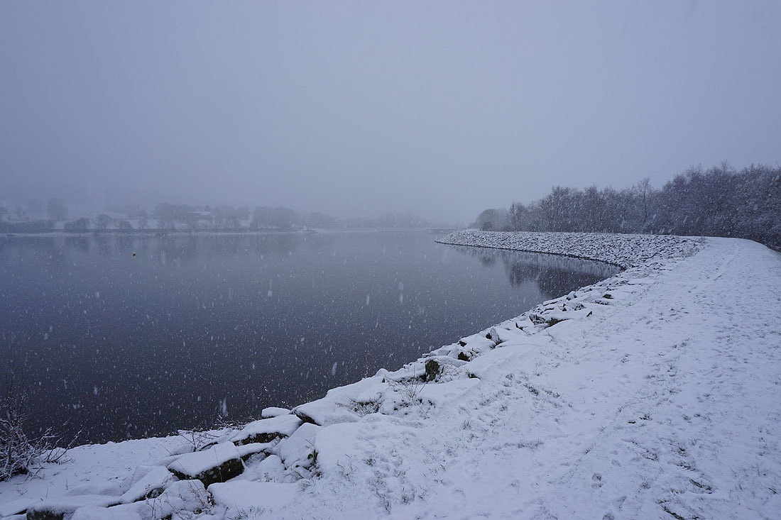
Back at the field above Slipper Hill Reservoir and the sheep are having to work harder to get at the grass beneath the snow
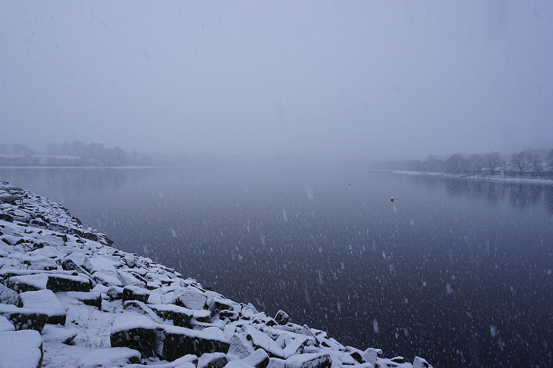
Falling snow at Slipper Hill Reservoir
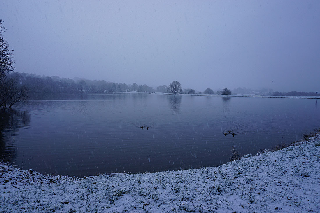
It's snowing more heavily as I make my way round Foulridge Lower Reservoir..
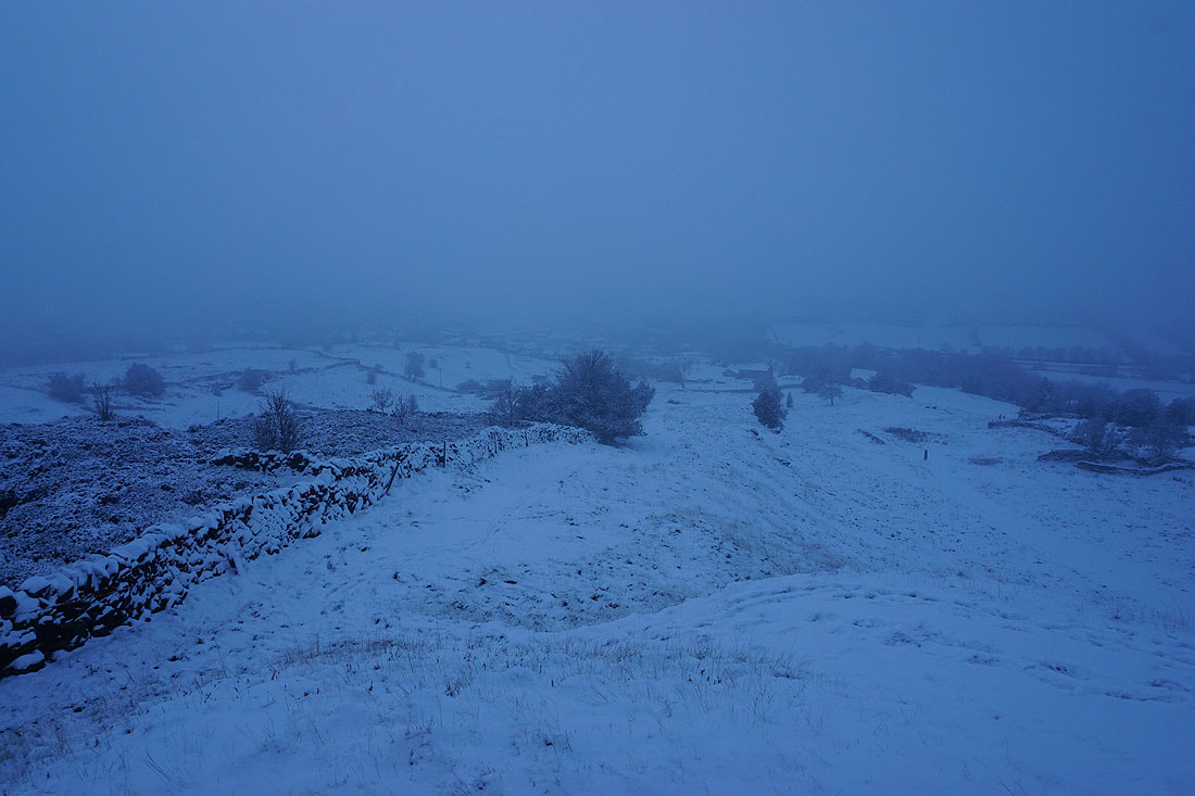
It's coming down thick and fast as I arrive back in Foulridge
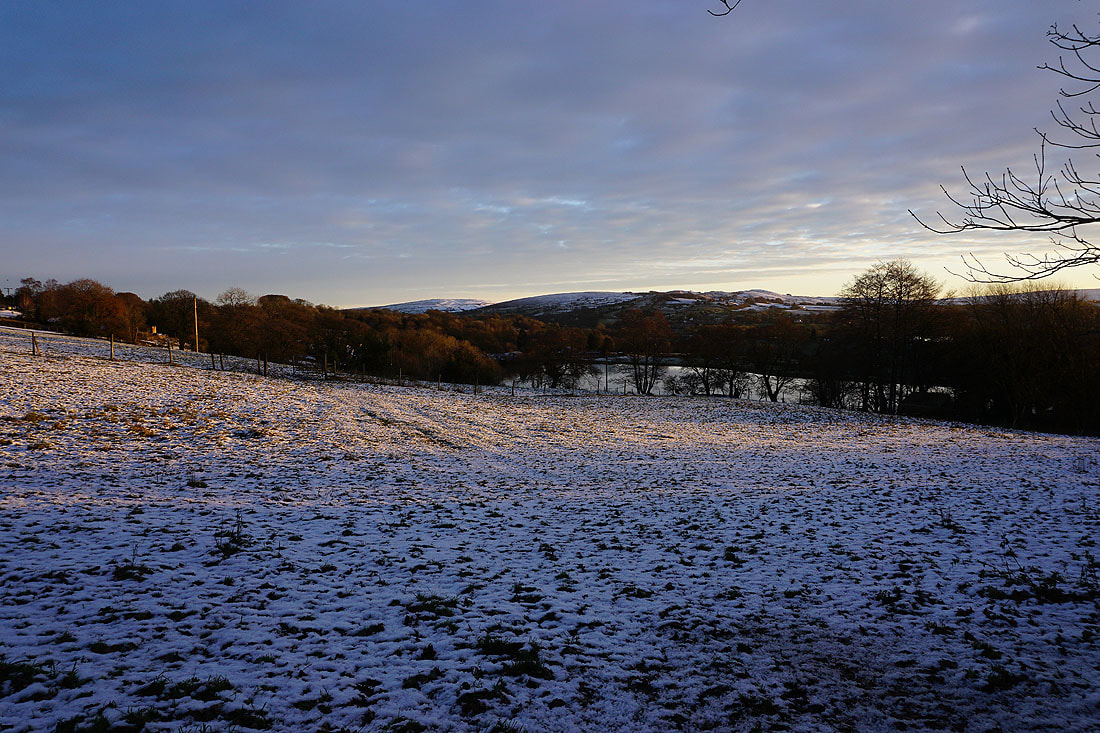
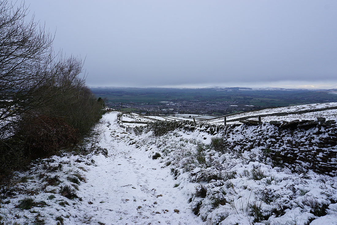
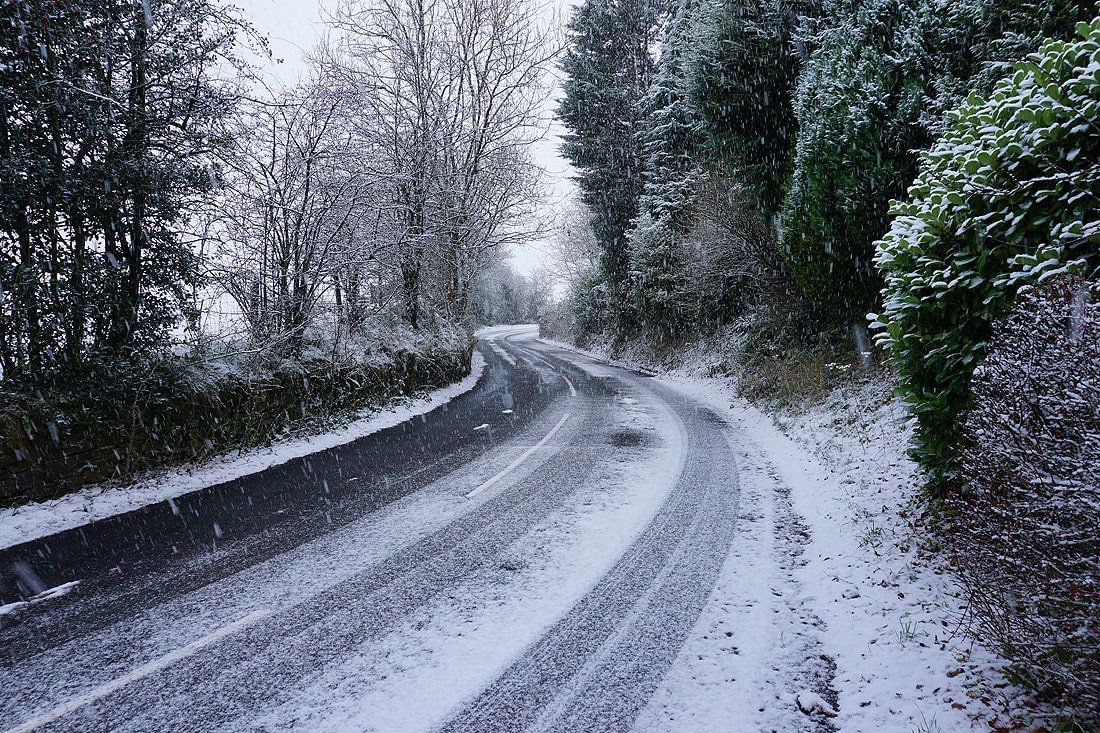
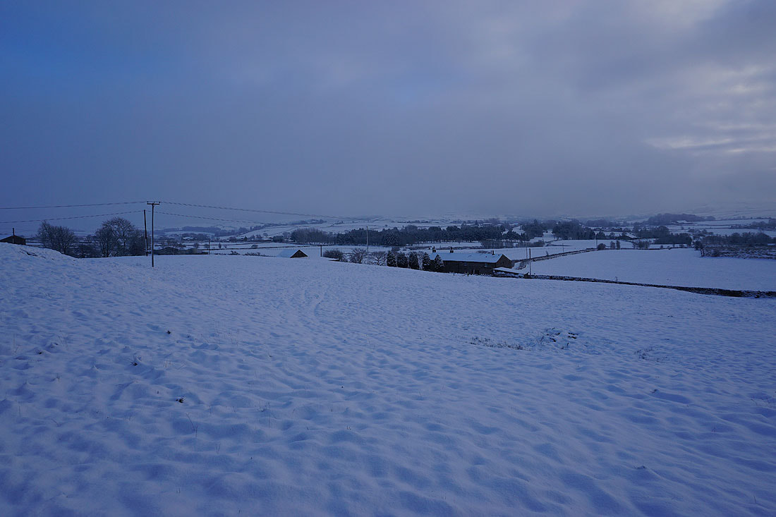
A couple of hours later the snow stops and it starts to brighten up. I decide to walk from home up onto Noyna Hill to take in the freshly snow covered landscape. Looking back down Noyna Road.
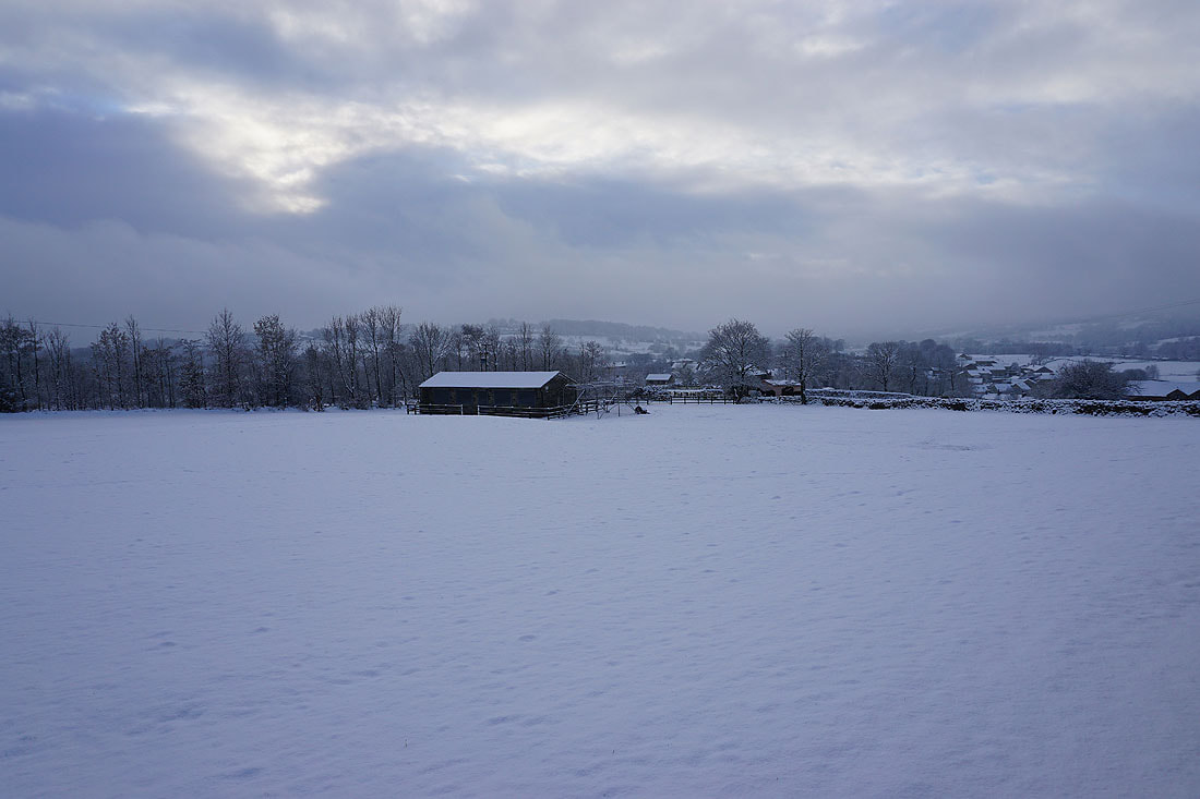
The ground of Foulridge Cricket Club
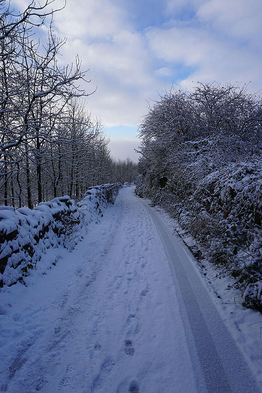
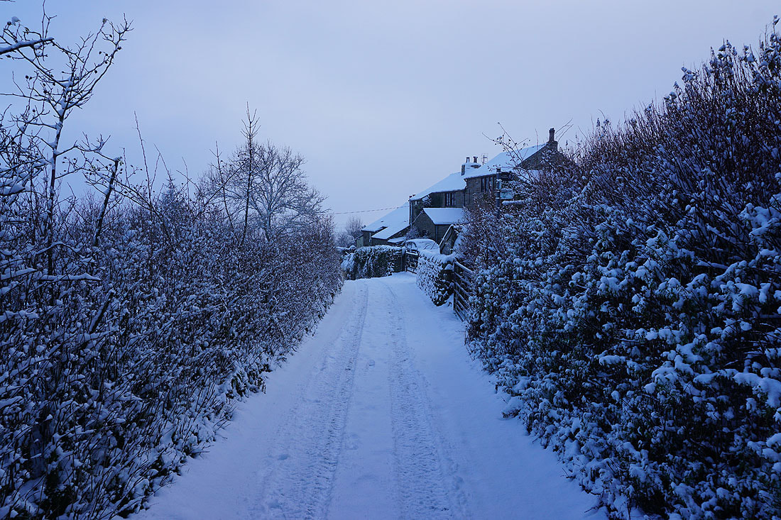
Snow covered trees line Noyna Road
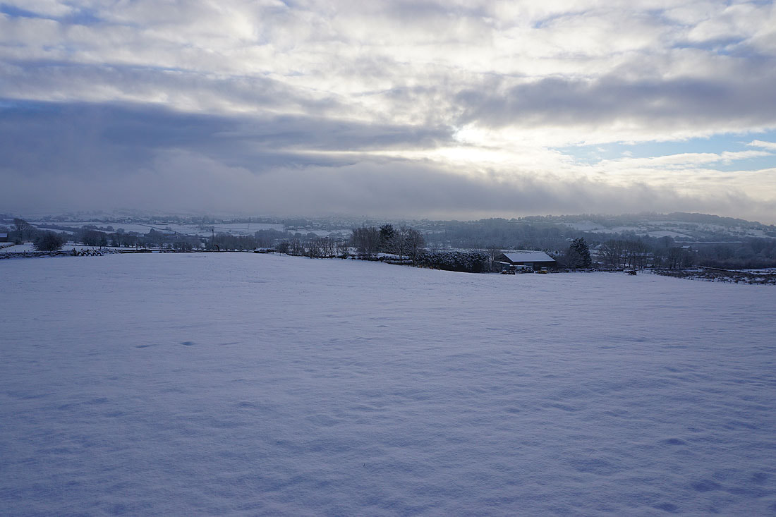
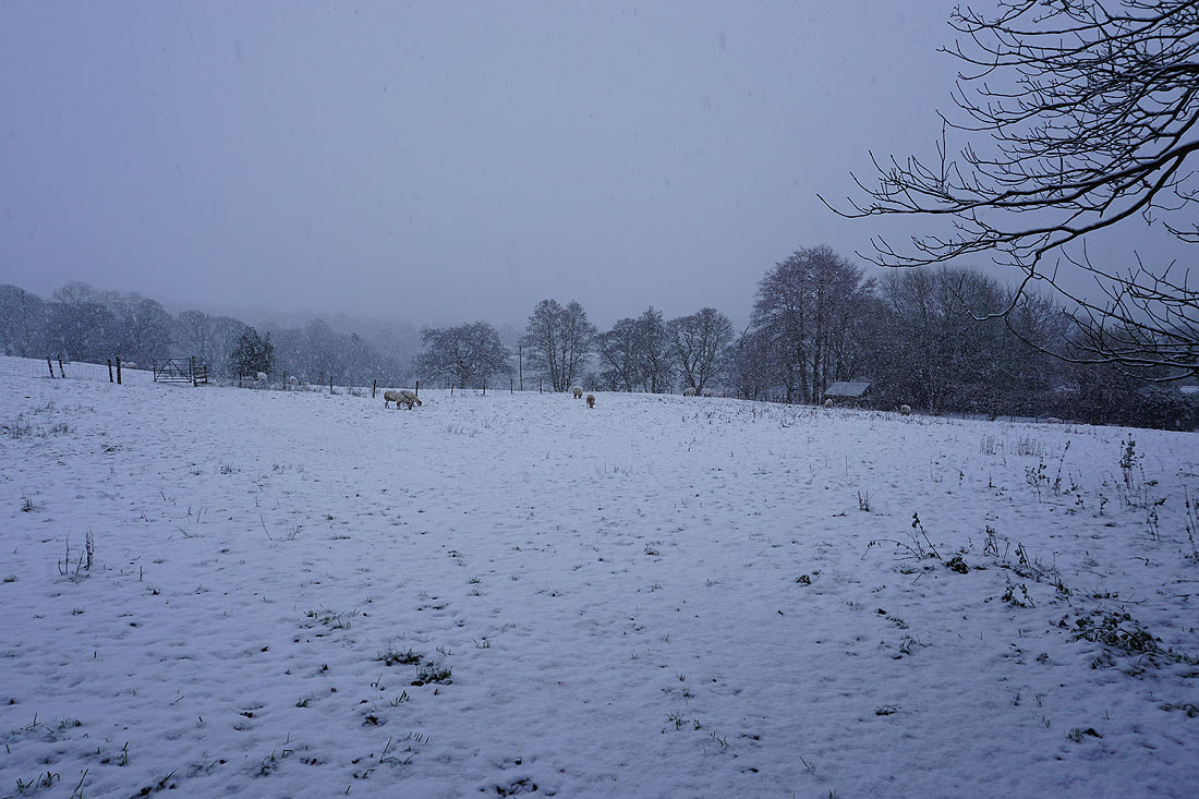
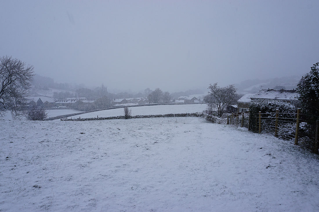
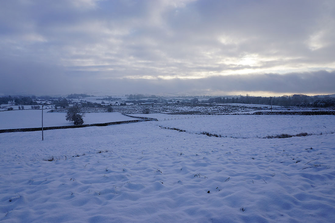
Views across snow covered fields from Noyna Road...
Noyna End Farm on Cob Lane
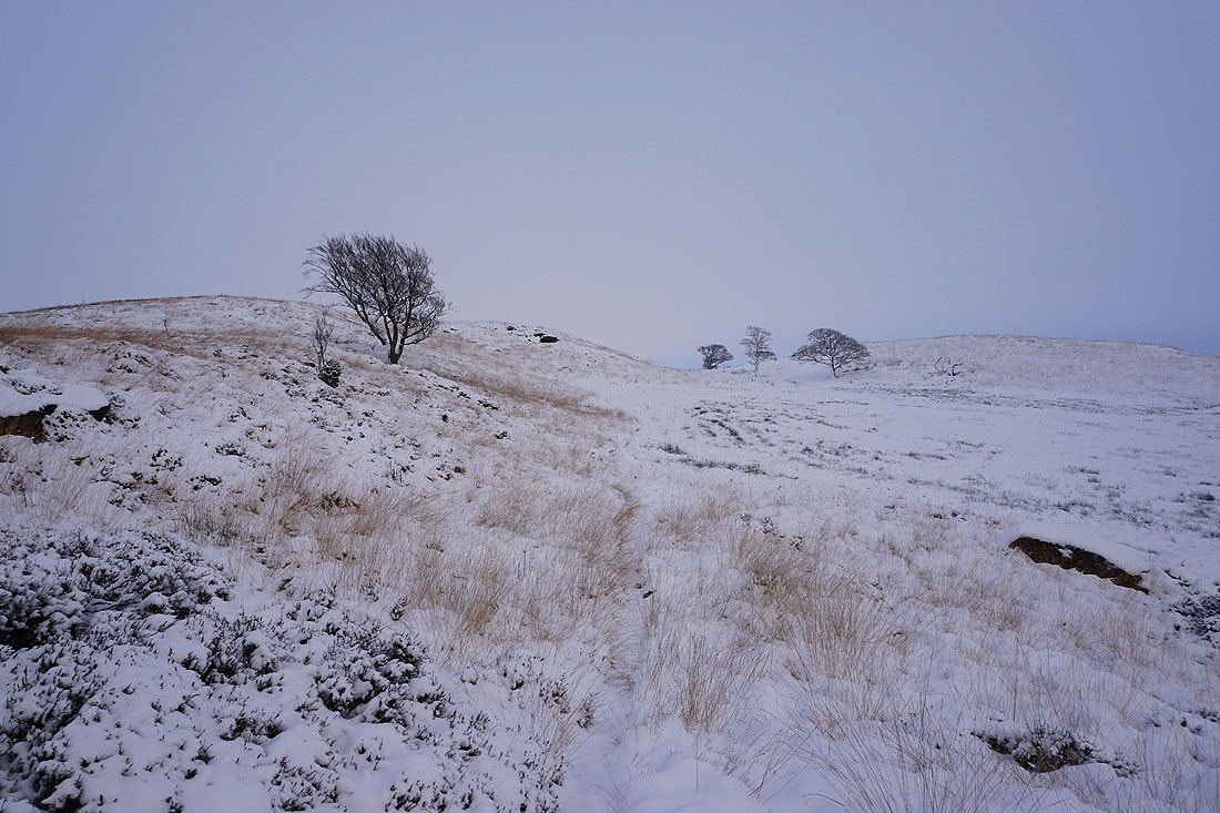
Heading up onto Noyna Hill from Cob Lane
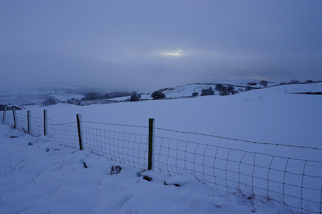
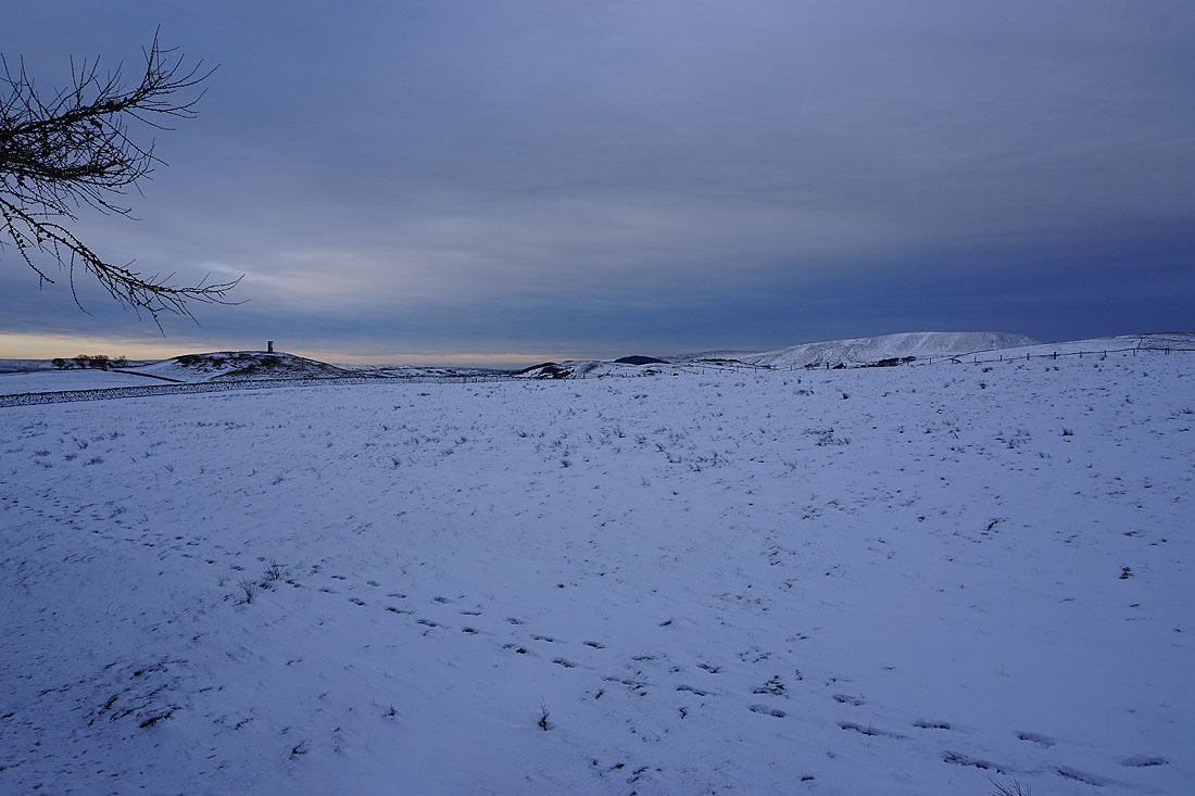
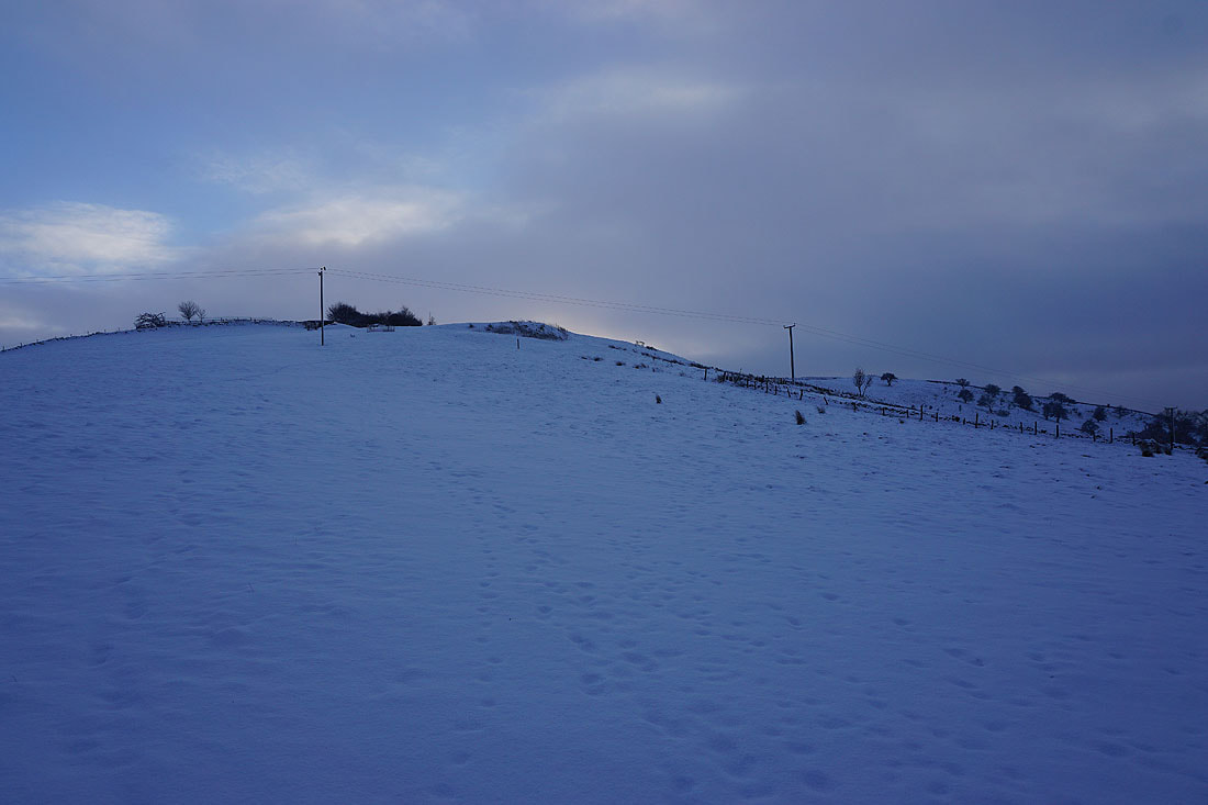
On a snow covered Noyna Hill..
Zooming in to the top of Boulsworth Hill in the distance
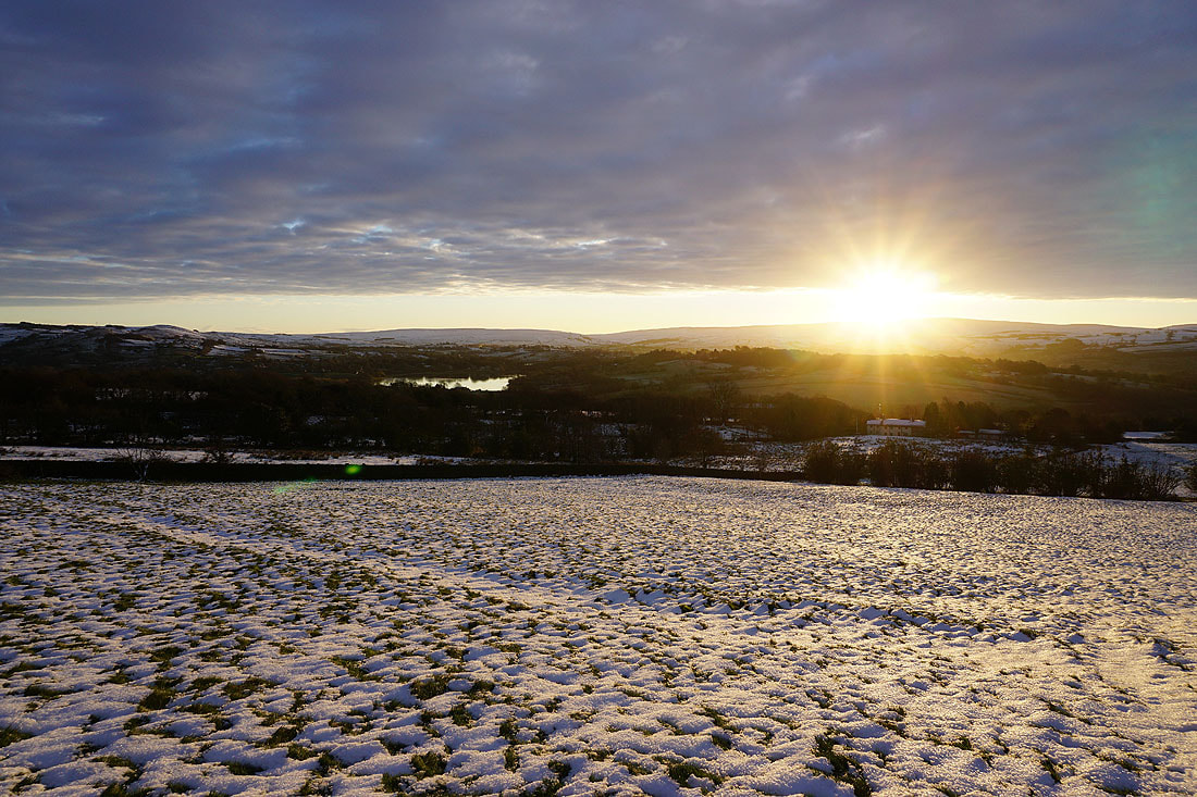
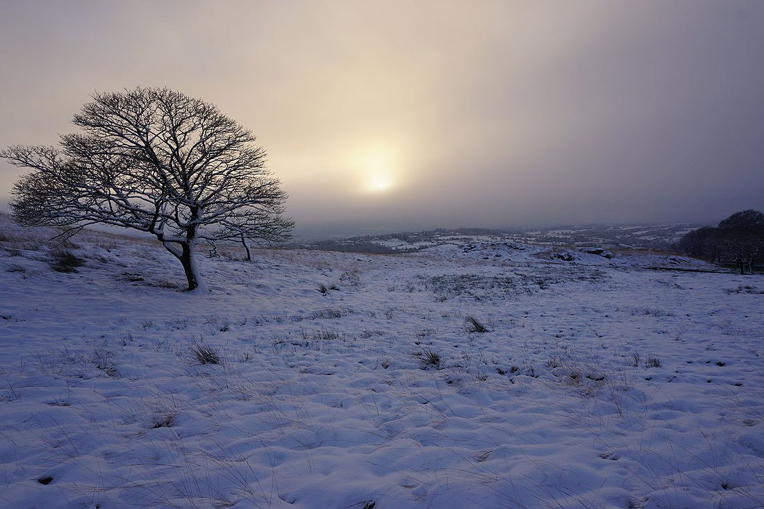
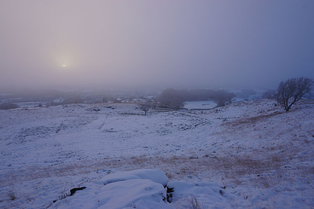
Onto access land on Noyna Hill. The sun trying to break through the fog creates an eerie light, and with the bare trees silhouetted against the sky I get some great photos......
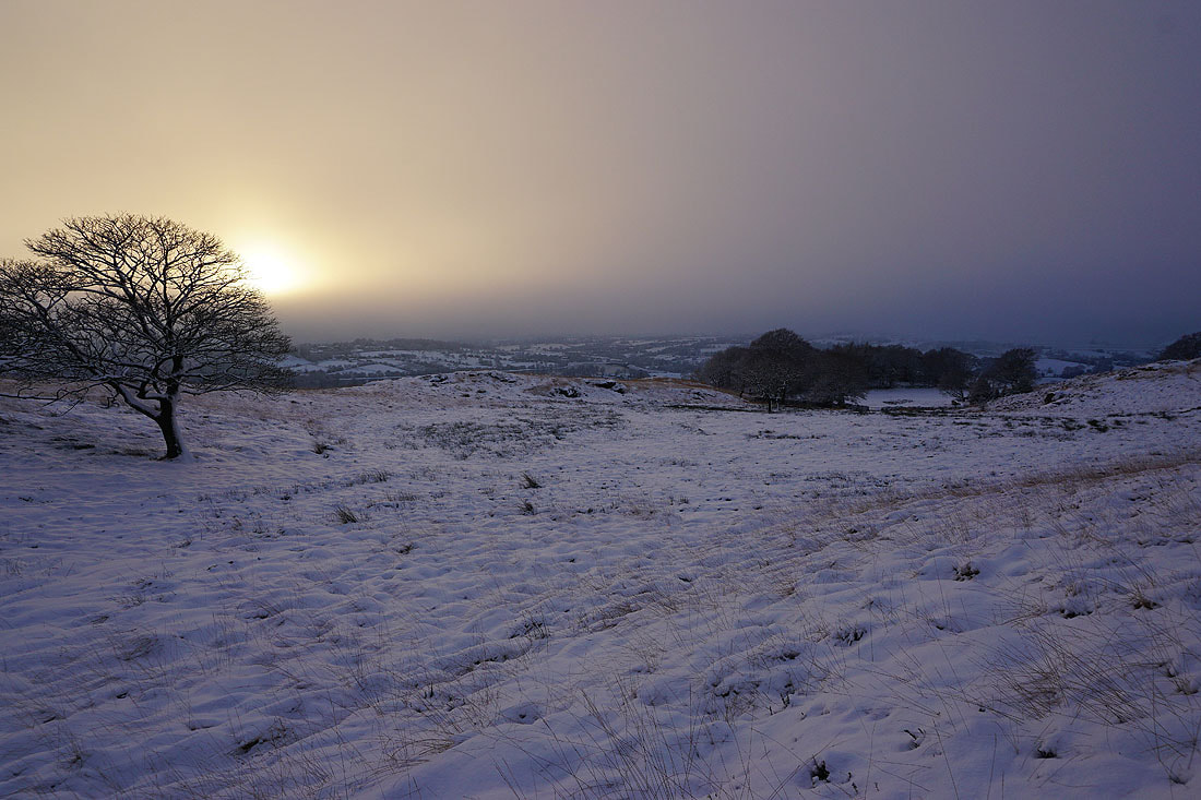
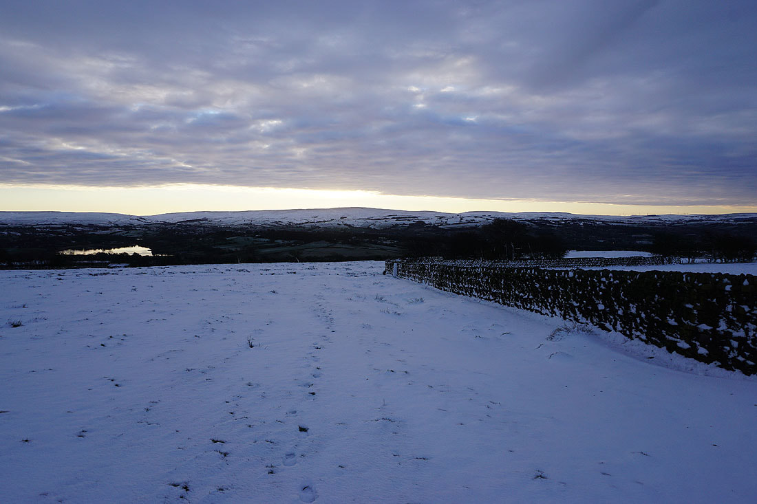
Heading back down to Foulridge and home..