28th September 2013 - Boulsworth Hill
Walk Details
Distance walked: 8.0 miles
Total ascent: 1544 ft
OS map used: OL21 - South Pennines
Time taken: 4 hrs
Route description: Wycoller-Trawden-Hollin Hall-Lodge Moss Farm-Lumb Spout-Pendle Way-Boulsworth Hill-Pendle Way-Bronte Way-Wycoller
A late start for this walk up Boulsworth Hill with my Dad. On the drive to Wycoller low cloud enveloped the tops so we took advantage of the tea-room there to give the weather a chance to brighten up. In the end it turned into a lovely afternoon but the haziness meant there were no long distance views.
From Wycoller we followed a lane to the village of Trawden, through the village, up to Hollin Hall and to its end at Lodge Moss Farm. We then went through the farmyard and across some fields to reach the Pendle Way beneath Boulsworth Hill. A short time was spent on the Pendle Way before heading up to the summit of Boulsworth Hill. Our route back took us back down to the Pendle Way which we then followed (as well as a bit of the Bronte Way) back to Wycoller.
Route map
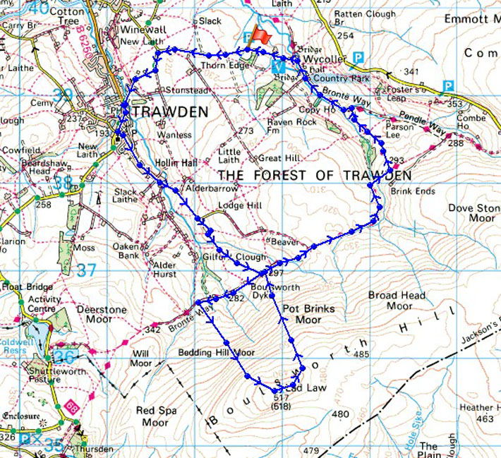
© Crown copyright. All rights reserved. License number PU 100034184.
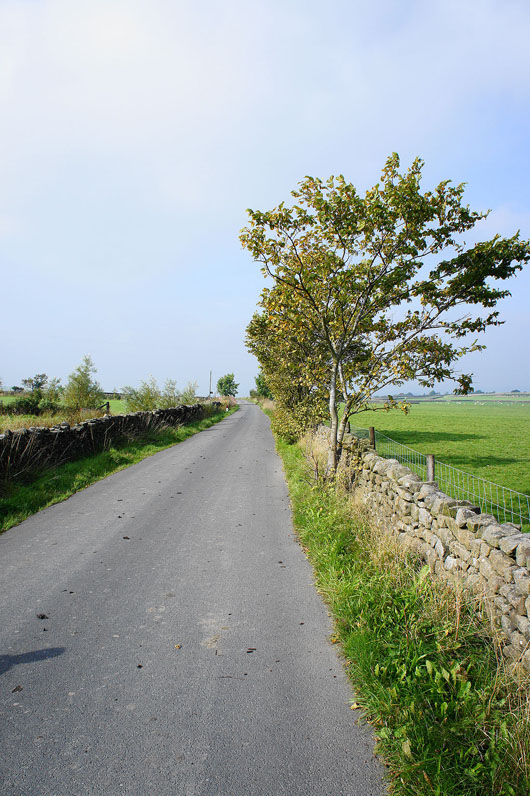
It's finally brightened up as we leave Wycoller bound for Trawden
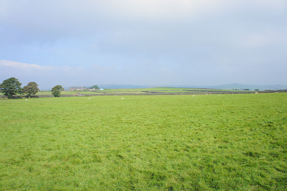
A hazy view of the surrounding countryside as the low cloud clears
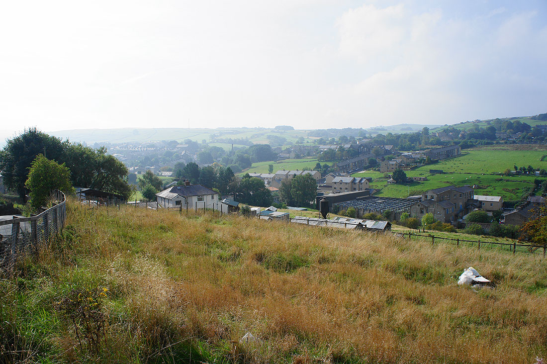
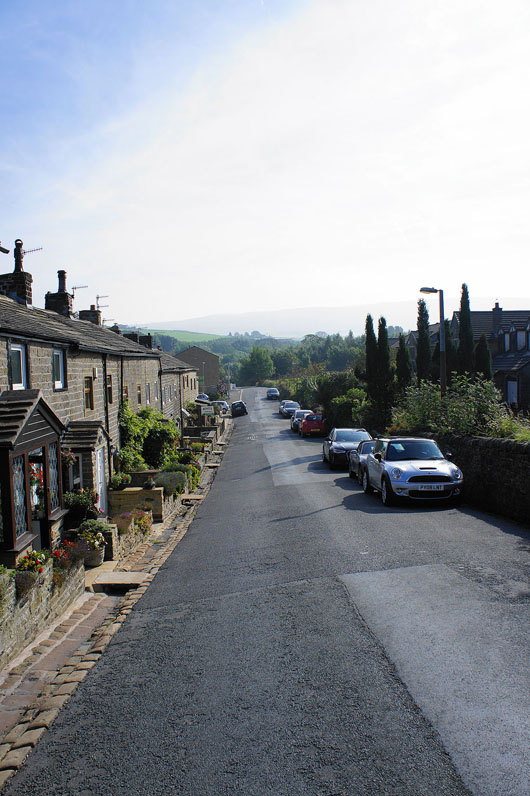
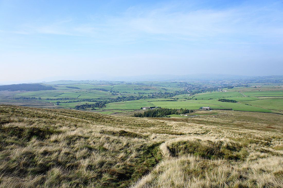
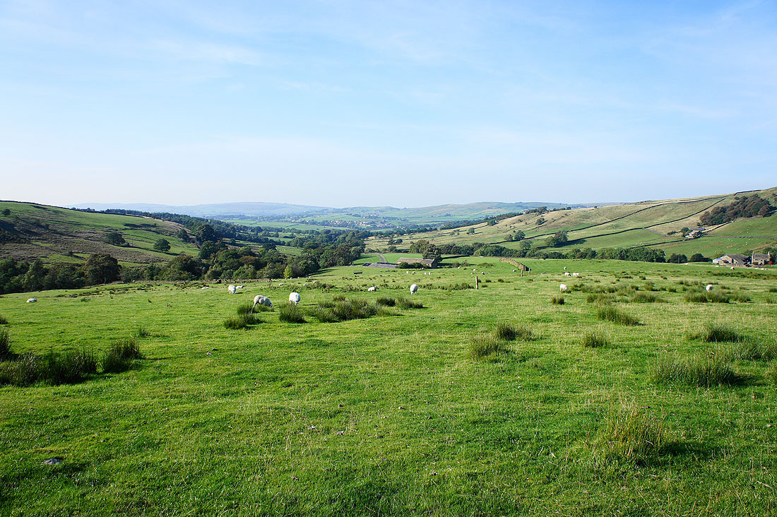
The village of Trawden below
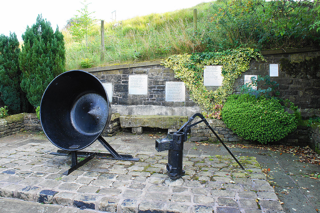
A few items of interest as we pass through. Apparently the vat was used for making jam. It was the plaques on the wall that we spent a few minutes looking at though, they're poems written in Lancashire dialect.
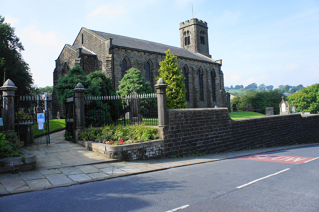
St. Mary's, Trawden
Heading through Hollin Hall
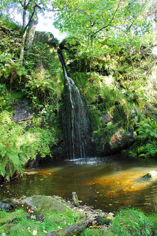
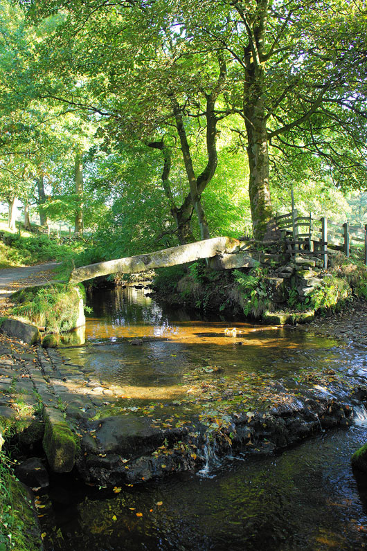
Lumb Spout. This idyllic spot is off the path and worth looking for. We had our lunch here.
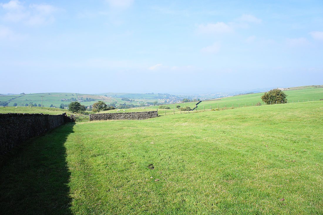
Looking back towards Trawden as we head uphill to the Pendle Way
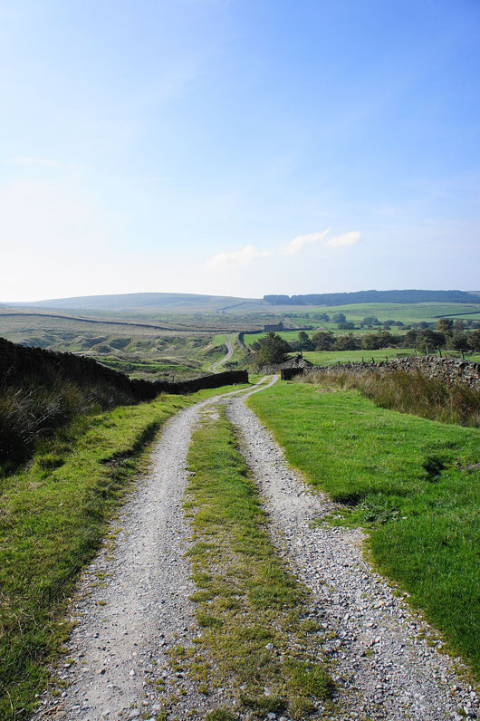
On the Pendle Way
Trawden far below as we head up Boulsworth Hill
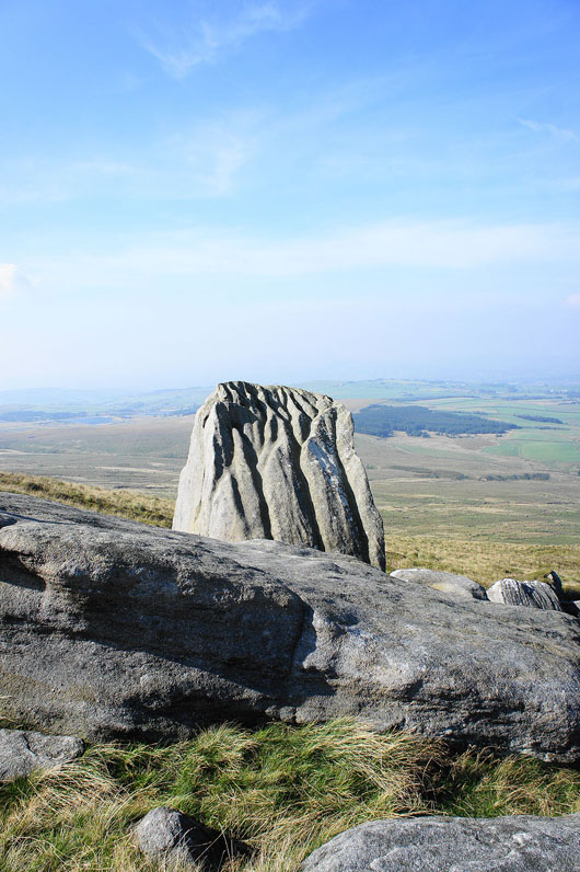
The Abbot Stone
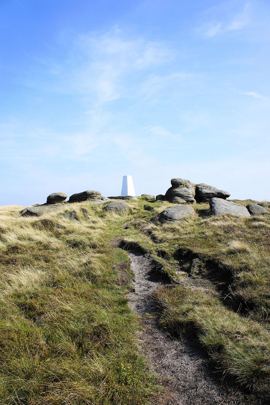
The trig point and summit is in sight
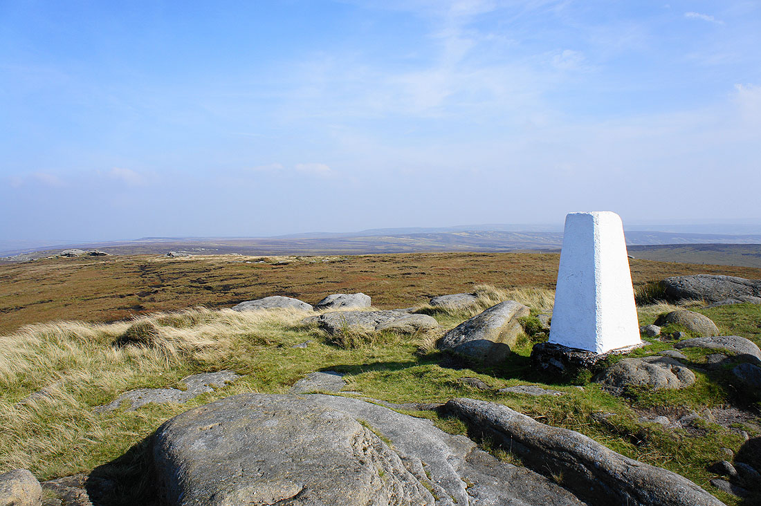
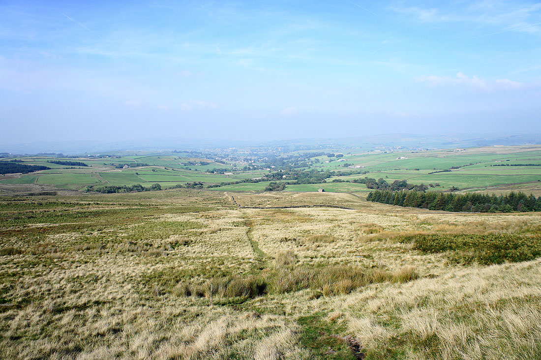
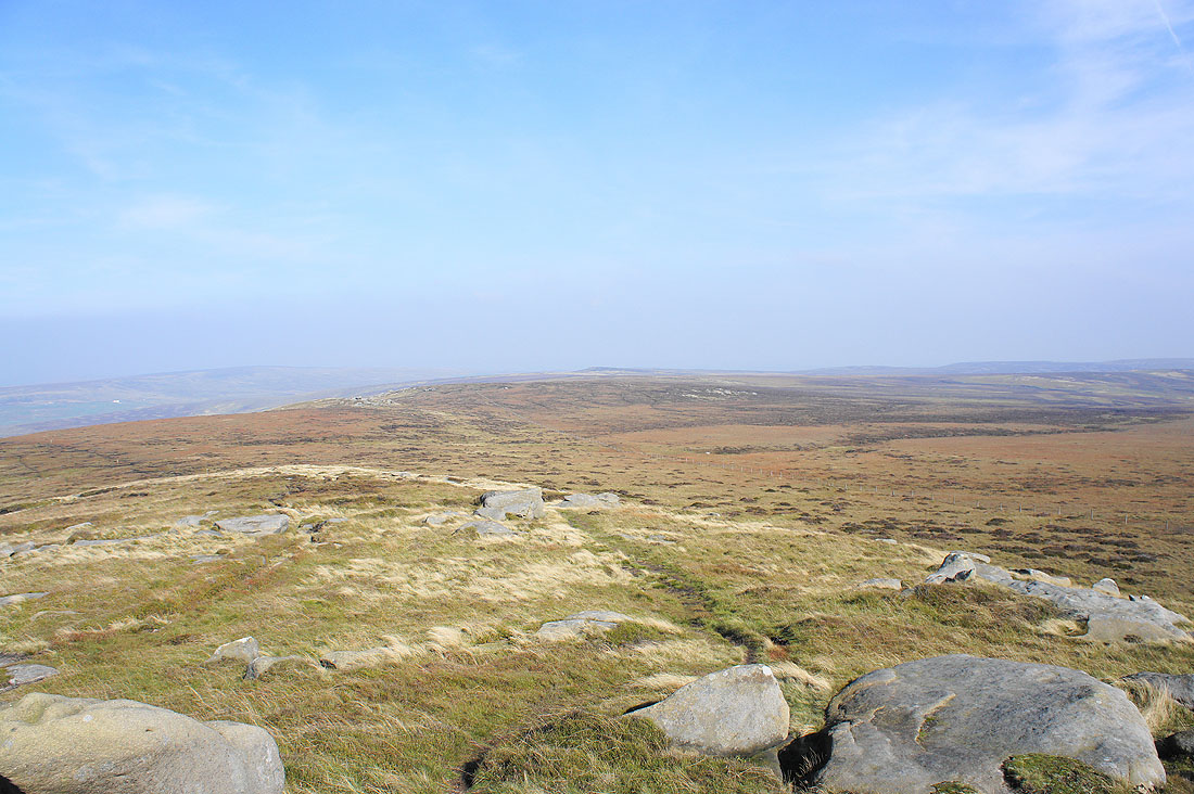
Views from Lad Law, the summit of Boulsworth Hill. In the distance is Crow Hill and Stanbury Moor.
Dove Stones just visible through the haze. It's a shame, on a good day there's lots to see including Pendle Hill and even the hills of the Yorkshire Dales.
Time to head down. My Dad has already made it across to Little Chair Stones.
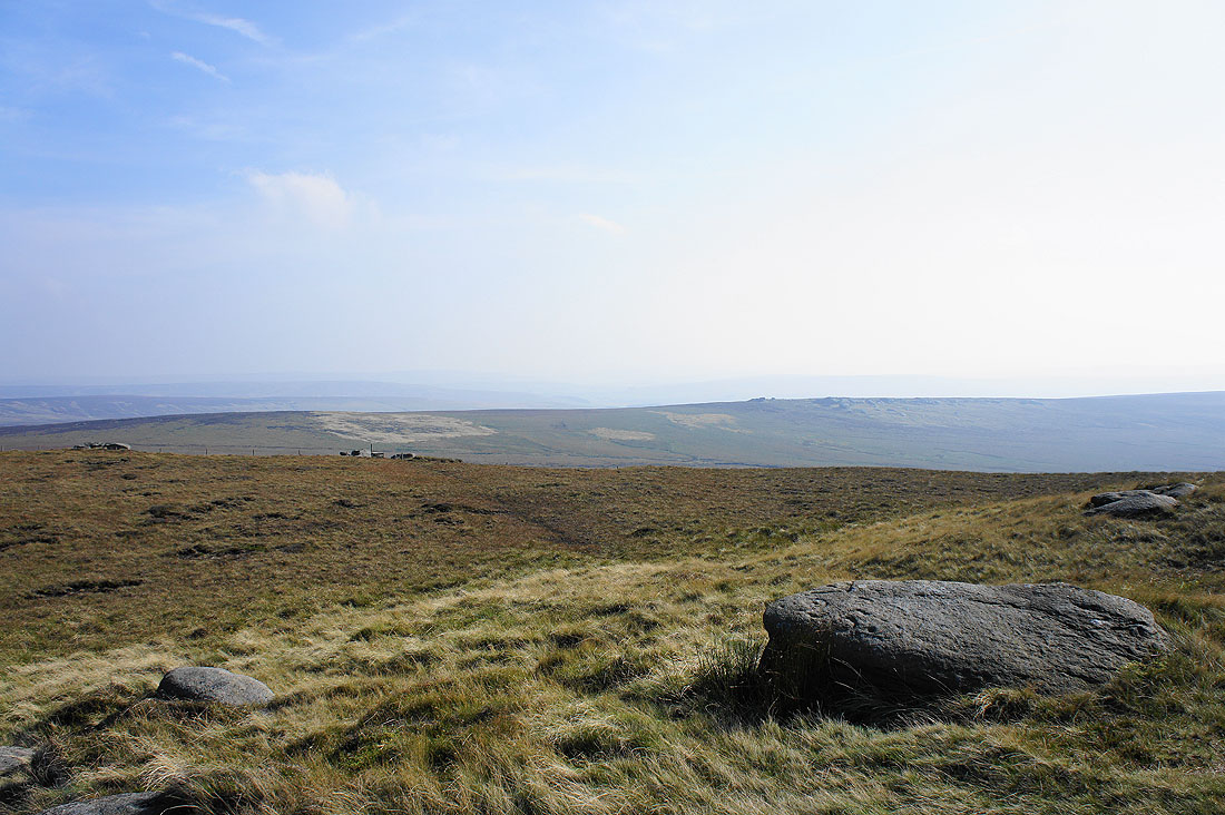
Crow Hill and Stanbury Moor from Little Chair Stones
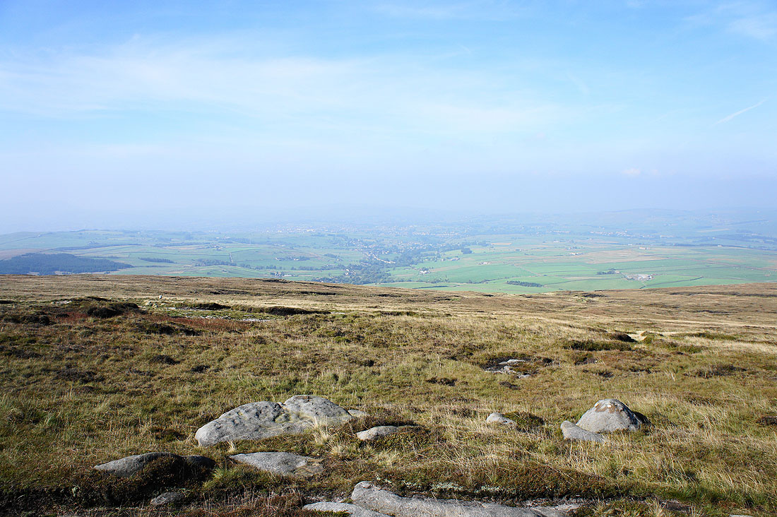
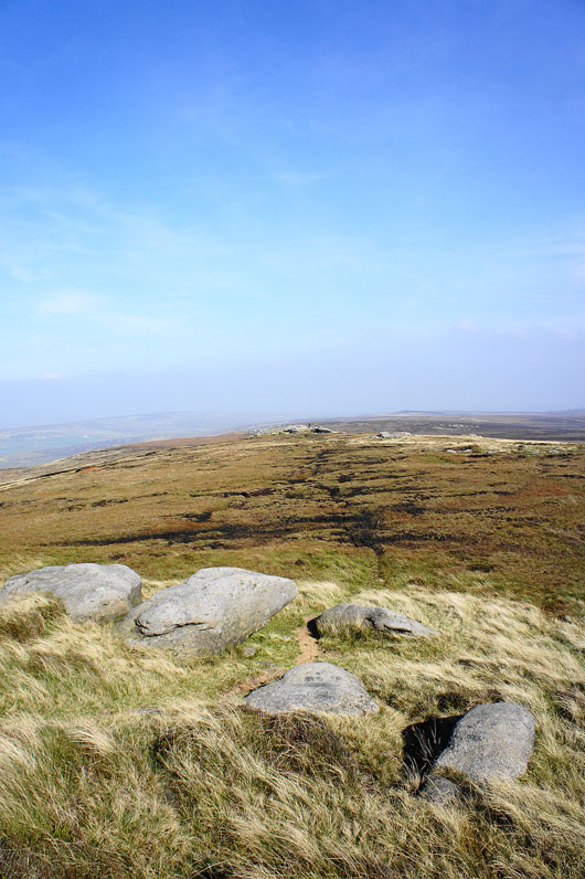
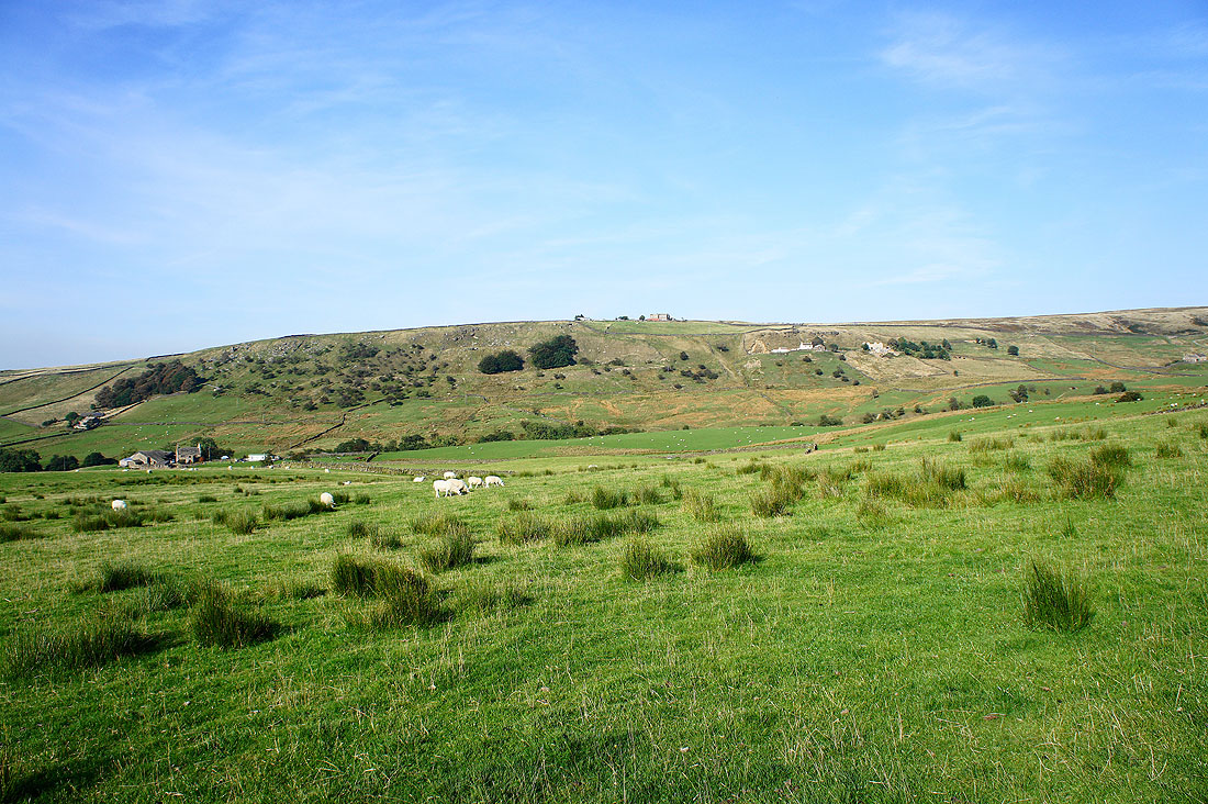
Still hazy looking towards Trawden
As we head down though the air starts to clear
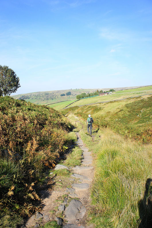
Back on the Pendle Way
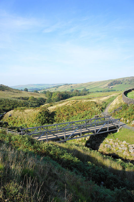
The bridge over Turnhole Clough. Once over we'll soon turn left onto the Bronte Way.
On the Bronte Way down to Dean House Farm
The hillside of Foster's Leap to the right
The track to Wycoller has a number of items of interest. The clam bridge over Wycoller Beck.
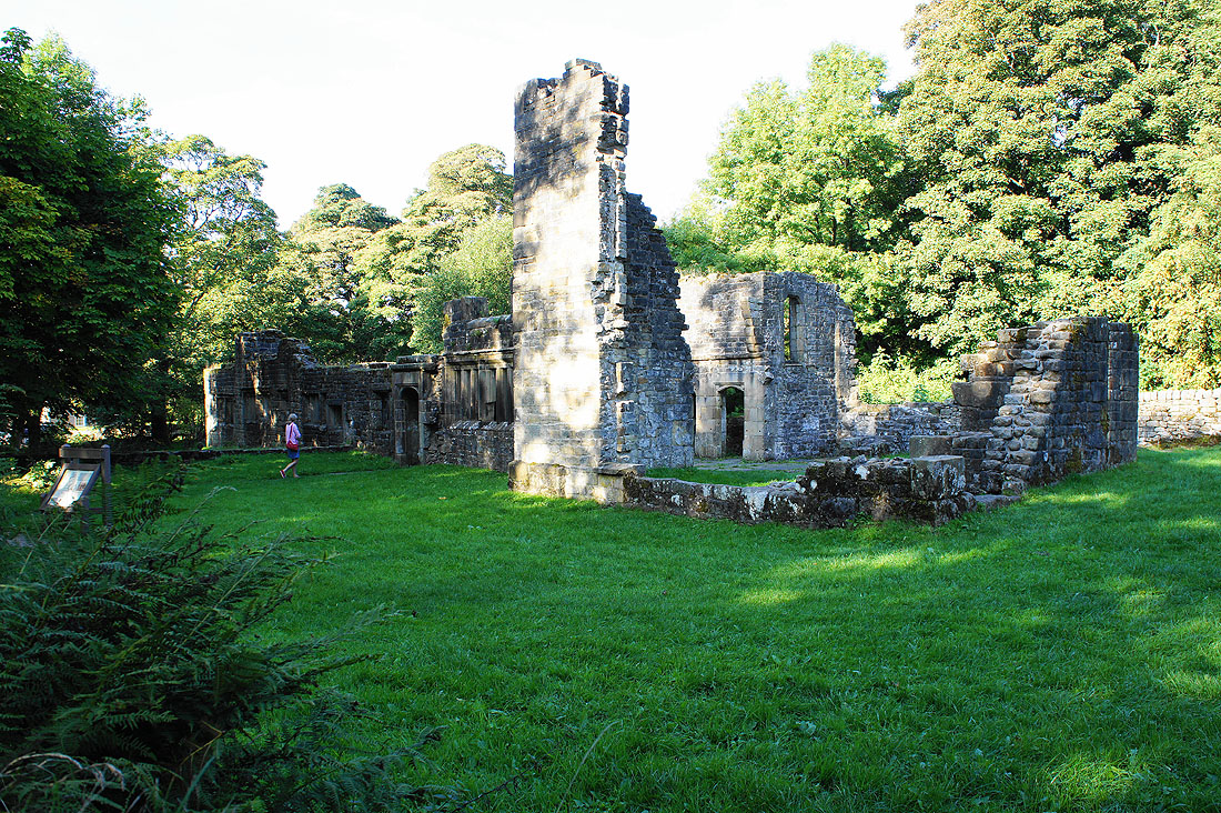
The ruins of Wycoller Hall
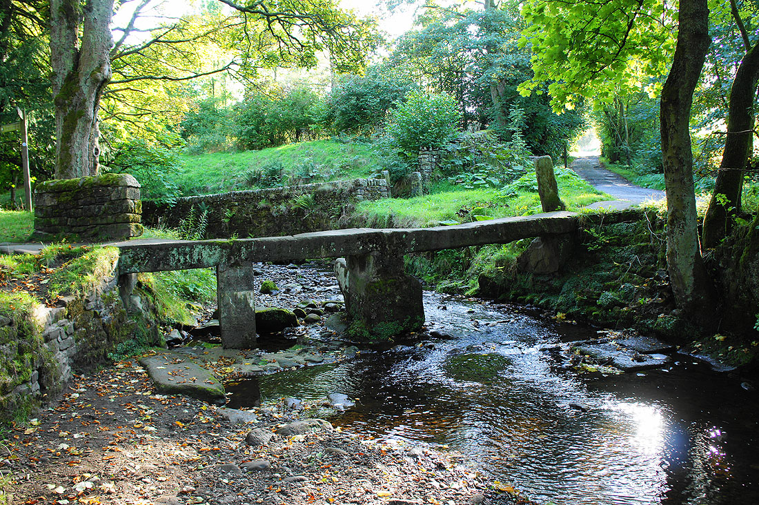
The clapper bridge
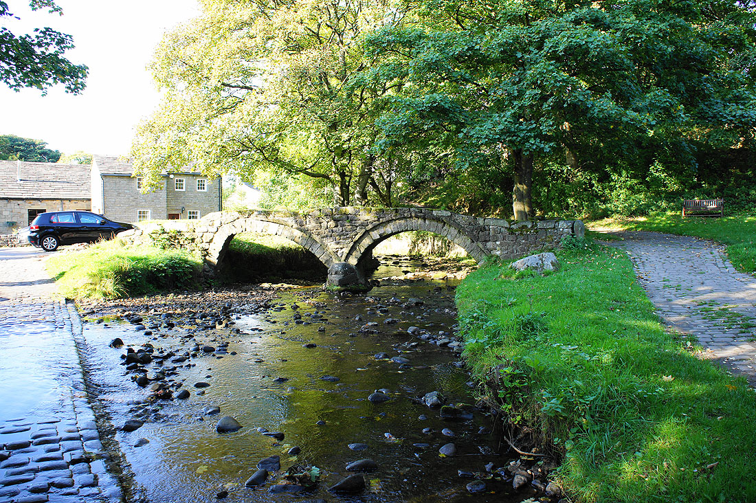
and finally the packhorse bridge