28th September 2014 - Jumble Hole Clough
Walk Details
Distance walked: 5.0 miles
Total ascent: 1124 ft
OS map used: OL21 - South Pennines
Time taken: 3 hrs
Route description: Lob Mill picnic site-Rodwell-Matthew Lane-Cross Stone Road-Butts Lane-Calderdale Way-Great Rock-Calderdale Way-Hippins Bridge-Hippins-Jumble Hole Clough-Jumble Hole-Mulcture Hall-Eastwood-Burnt Acres Lane-Rochdale Canal-Holmcoat Bridge-Rochdale Canal-Lobb Mill-Lobb Mill picnic site
I got the jobs that needed doing out of the way by lunch time today and when the grey skies started to break up I decided to have a short walk in Calderdale. I've really started to enjoy walking in this area. There's a vast array of footpaths and old tracks, steep sided wooded cloughs, open moorland and even some gritstone outcrops to enjoy. Plus Todmorden is only thirty minutes drive from home so I can go on the spur of the moment. With the sunshine and light winds it felt quite warm for the end of September.
From the picnic site by the A646 at Lobb Mill I took the path that heads steeply uphill to the hamlet of Rodwell, through the buildings and then a succession of tracks brought me to Cross Stone Road. I turned right and followed this road to reach Butts Lane, this climbs steeply through a group of houses to reach the last dwelling where it loses its surface and I joined the Calderdale Way. I then followed the Calderdale Way across the hillside, along Eastwood Road to Great Rock and then along the edge of Staups Moor to Hippins Bridge and the house of Hippins. Here I left the Way behind to head down into Jumble Hole Clough.
The path crosses the brook by a footbridge and keeps to the right hand side of it as it descends to the ruins of Staups Mill. From the ruins the path briefly heads uphill before going left to take a course through woods high above the brook. Eventually I reached a farm access track, I followed this downhill by more mill ruins to reach Jumble Hole. I took the footbridge on the right before the first houses are reached and then a path across a field to Mulcture Hall. It's access road then goes downhill and at the next hairpin bend I took the path that heads for the footbridge over the railway line and down to the valley floor. I crossed the main road to Burnt Acres Lane and the Rochdale Canal. I crossed the canal to follow the woodland path above the canal to Holmcoat Bridge. The rest of my route was by the towpath to Haugh Lane at Lobb Mill where I crossed the main road to reach the picnic site.
|
Route map
|
|
© Crown copyright. All rights reserved. License number PU 100034184.
The path from the picnic site heads steeply uphill
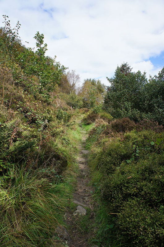
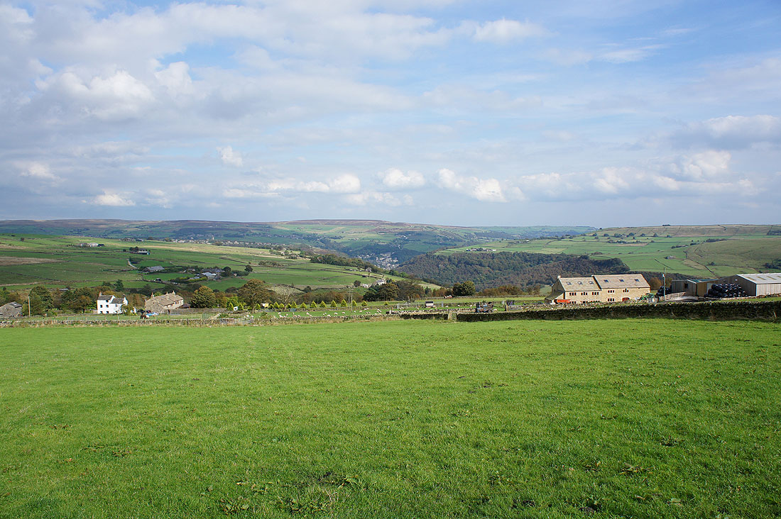
and you soon get a nice view up Calderdale towards Todmorden
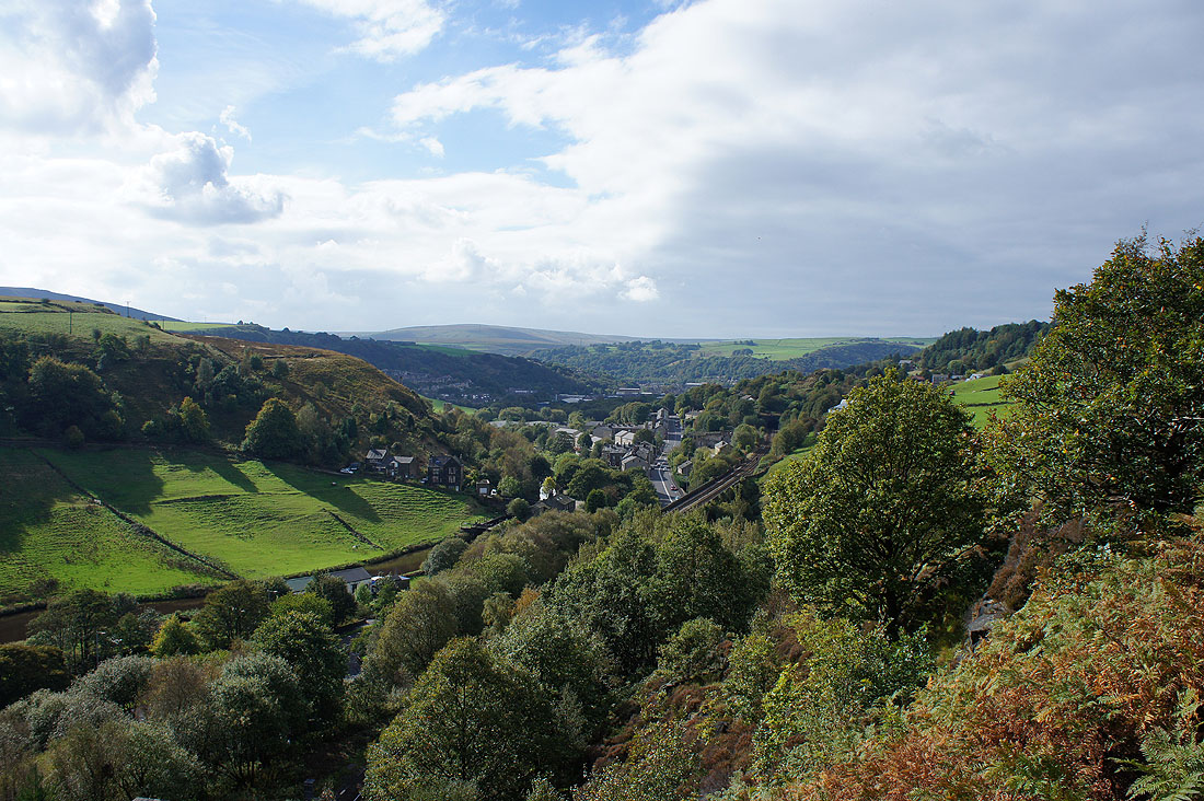
Through the hamlet of Rodwell and a succession of tracks will take me to the lane of Cross Stone Road
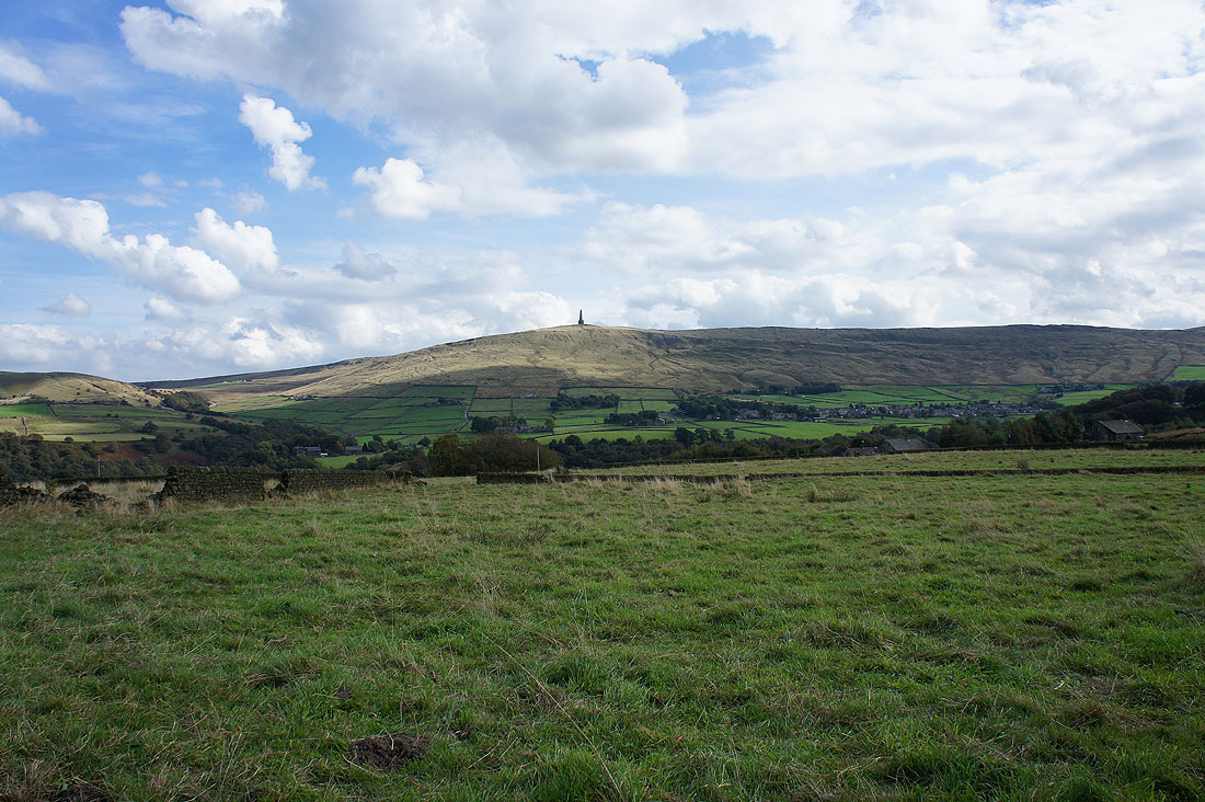
Looking across the valley to Stoodley Pike
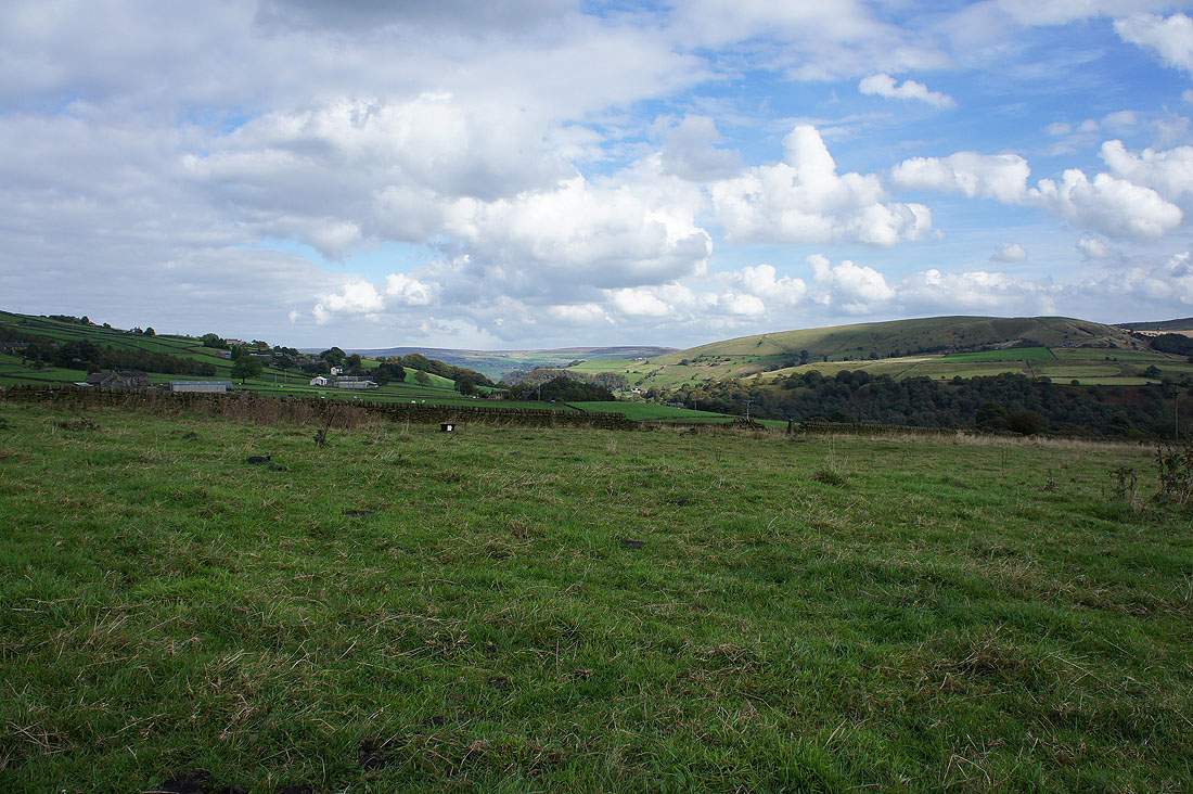
and down the valley past Edge End Moor

|

|
As I join the Calderdale Way there's a nice little spot as a brook tumbles down the hillside surrounded by birch trees and on the Calderdale Way

Looking up the valley
and across to Stoodley Pike
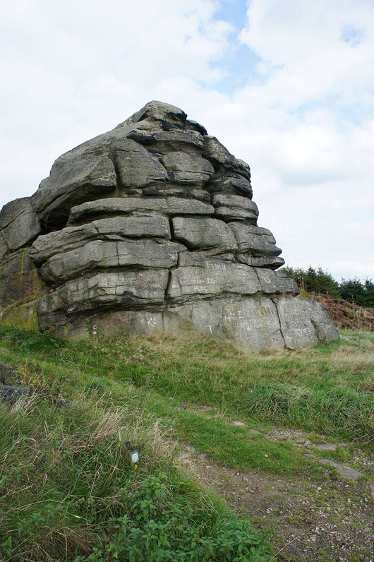
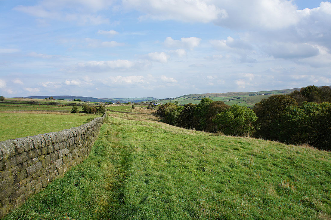
Great Rock. Aptly named and by the roadside where the Calderdale Way leaves Eastwood Road after following it for a short while.
Looking down Calderdale towards Hebden Bridge

|
|
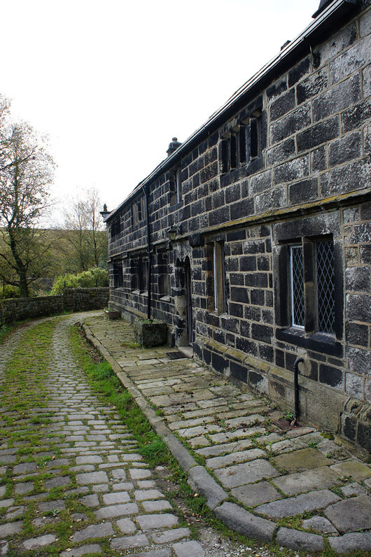
The stile as the Calderdale Way leaves Staups Moor and the lovely old dark gritstone house of Hippins
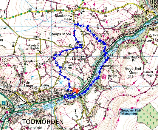
The Calderdale Way is left behind at Hippins and I'm about to head down into Jumble Hole Clough on the right
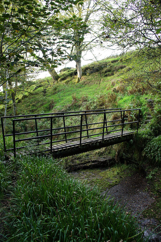
I soon crossed this footbridge over the brook. It's a little on the shaky side.
|

|
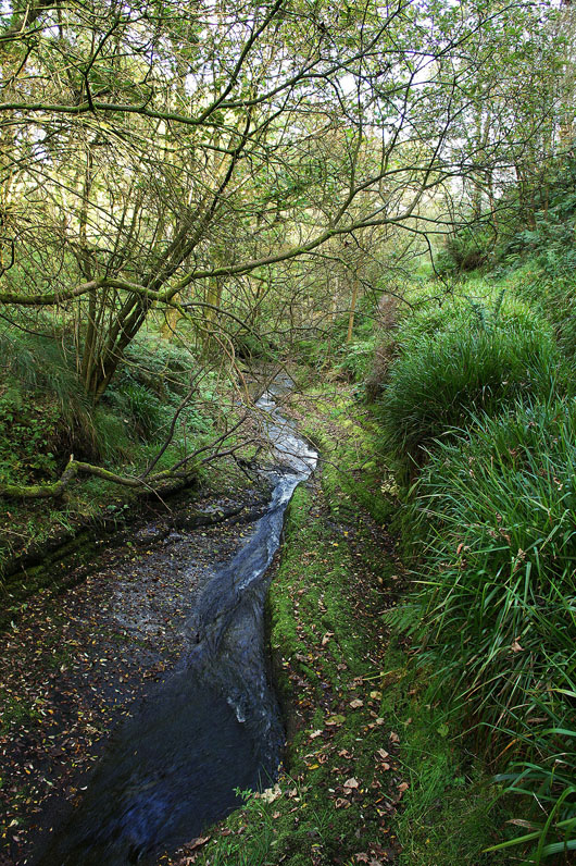
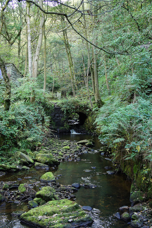
Taken from the footbridge. Looking up Jumble Hole Brook and the waterslide as it heads downstream.
|
|
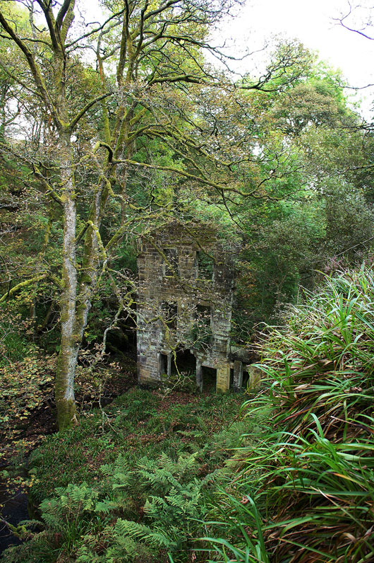
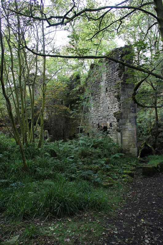
The path continues downstream above the brook to reach the ruins of Staup Mill. It's an evocative setting. How busy it must have been when it was working.
|
|
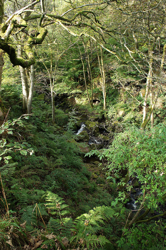
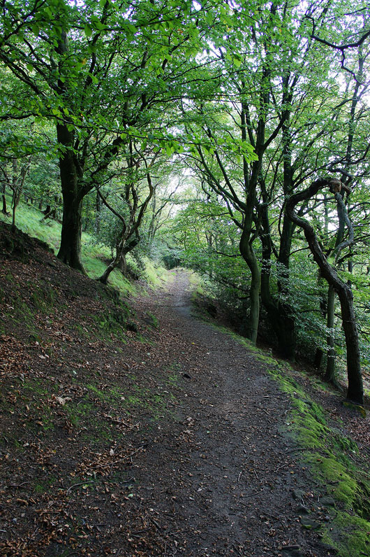
The path continues down high above the brook and it's quite hard to catch sight of it and then you reach a farm drive as it crosses it on the right
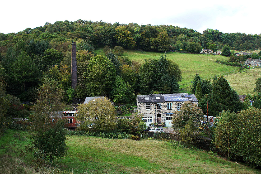
and then you leave the clough behind at Jumble Hole
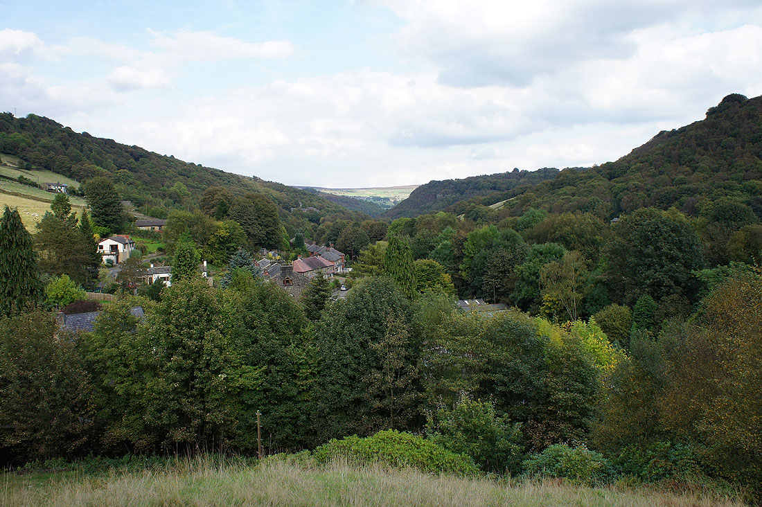
Looking down Calderdale
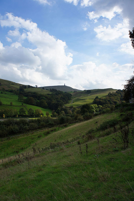
and up to the monument on Stoodley Pike
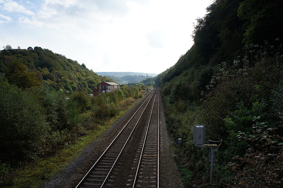
Across the footbridge over the railway line through the valley
|
|
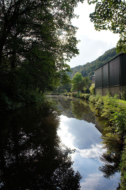
and I reach the Rochdale Canal. I don't take the towpath however but the path through woods on its other side.

When I reached Holmcoat Bridge I then took to the towpath
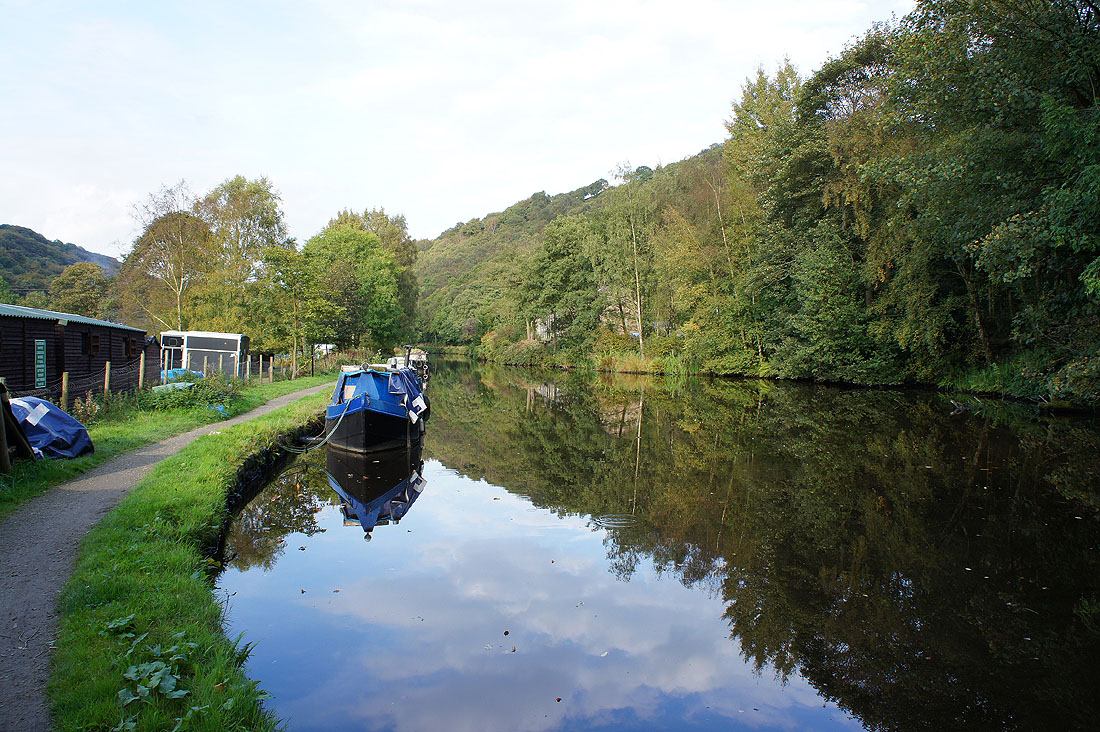
Really nice scenery with the still water and overhanging trees
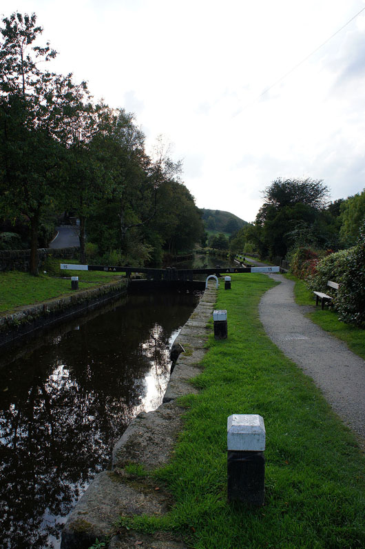
At Shawplains Lock

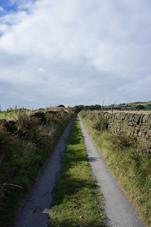
On the final bit of towpath that will take me back to Lobb Mill