28th September 2017 - Grit Fell and Clougha Pike
Walk Details
Distance walked: 6.2 miles
Total ascent: 1257 ft
OS map used: OL41 - Forest of Bowland & Ribblesdale
Time taken: 3 hrs
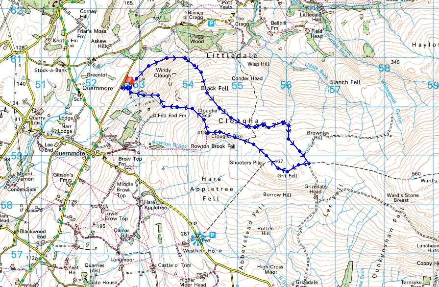
Route description: Birk Bank car park on Rigg Lane-Birk Bank-Ottergear Bridge-track round the back of Clougha Pike-Grit Fell-Clougha Pike-Clougha Scar-Birk Bank car park on Rigg Lane
With some free time this afternoon and a good forecast I decided to head out for a walk. It's only been three months since I last did Clougha Pike but it's one of my favourite places to go, so why not? The route is just the right length for half a day. For the most part I had sunny spells to enjoy though those did become increasingly hazy by the time I reached Clougha Pike.
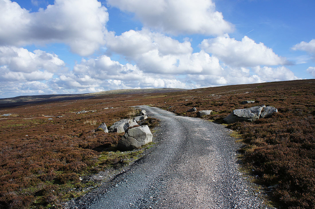
From the car park I followed the path north across Birk Bank and Ottergear Bridge to reach the shooters track that makes for the col between Ward's Stone and Grit Fell. I followed this up round the back of Clougha Pike to its top and from there to the top of Grit Fell. There was a brief stop to take in the view before continuing westwards to Clougha Pike. My route back took me down Clougha Scar and through the woodland on Birk Bank to the car park.
Route map
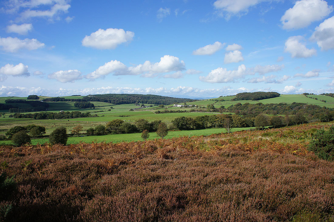
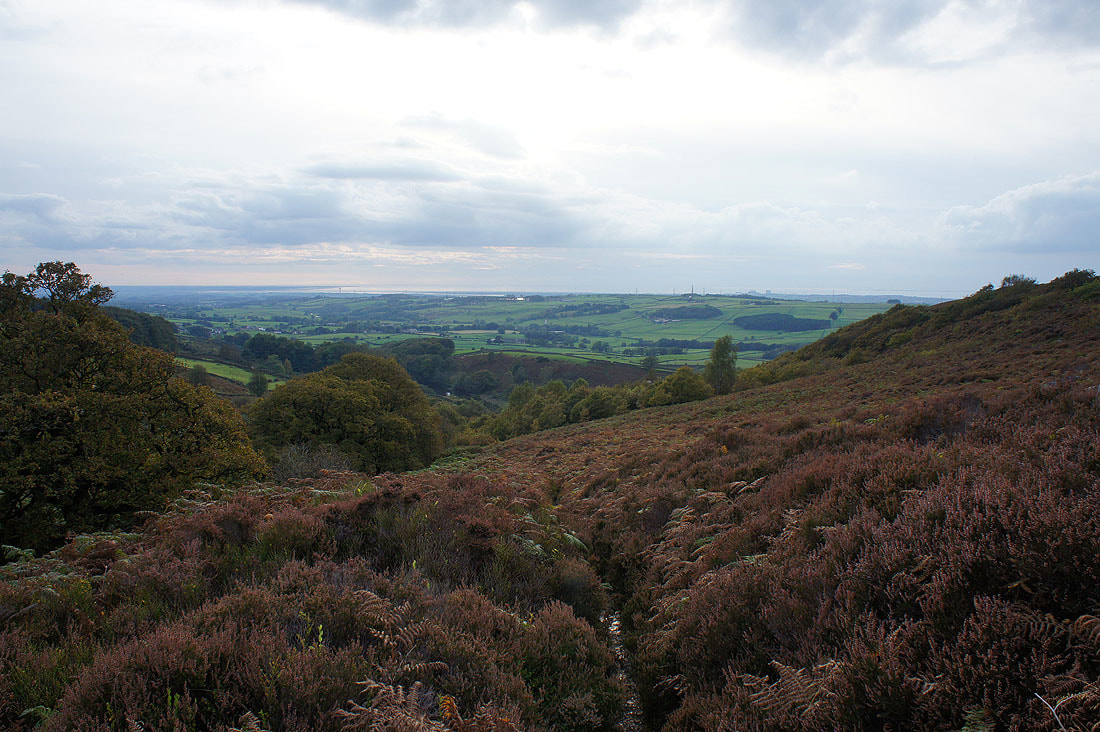
A view across the Condor valley as I set off from the car park
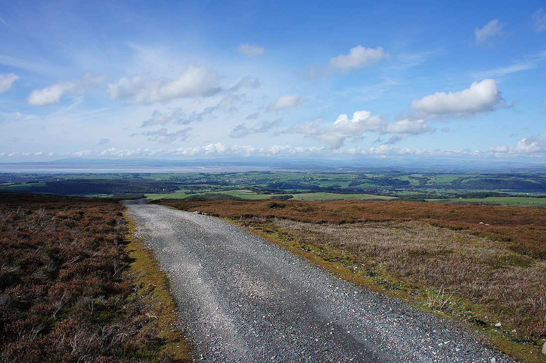
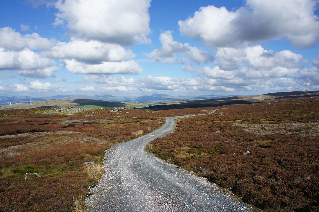
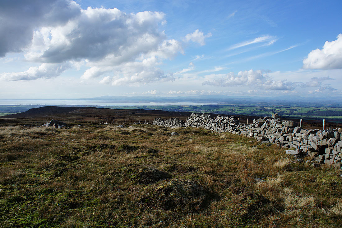
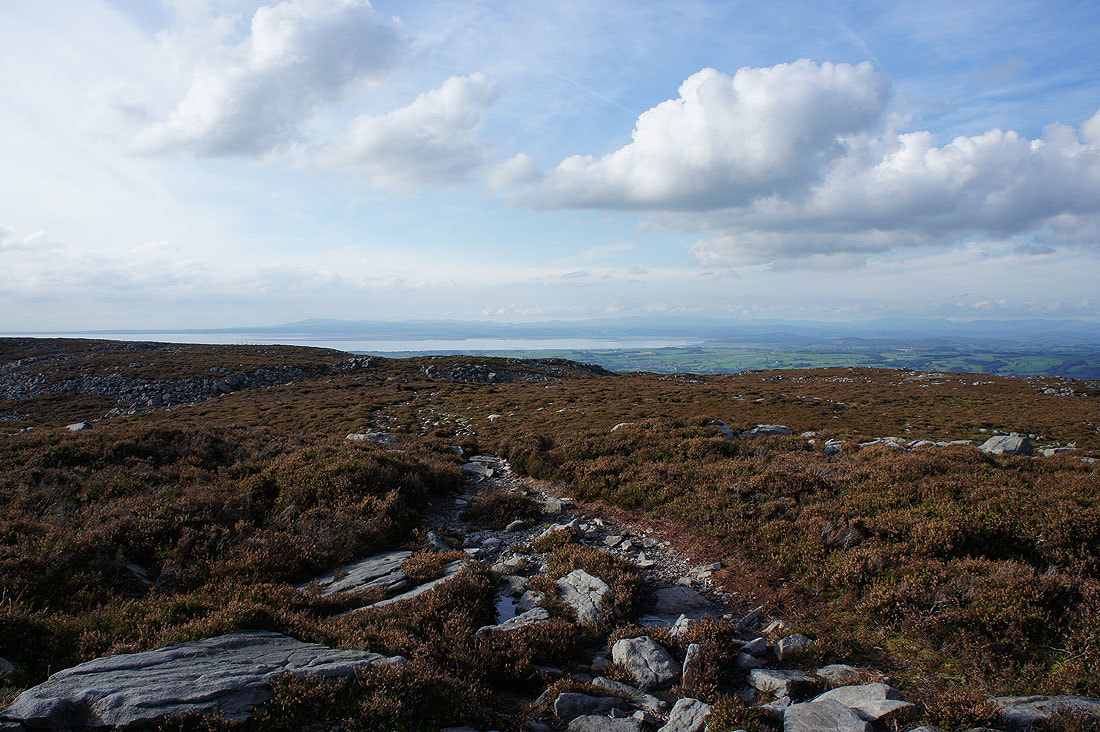
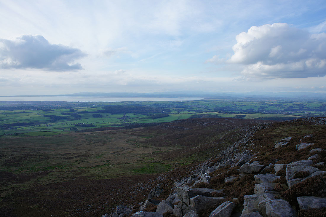
On the track round the back of Clougha Pike and the view becomes increasingly expansive across Morecambe Bay to the Lake District fells..
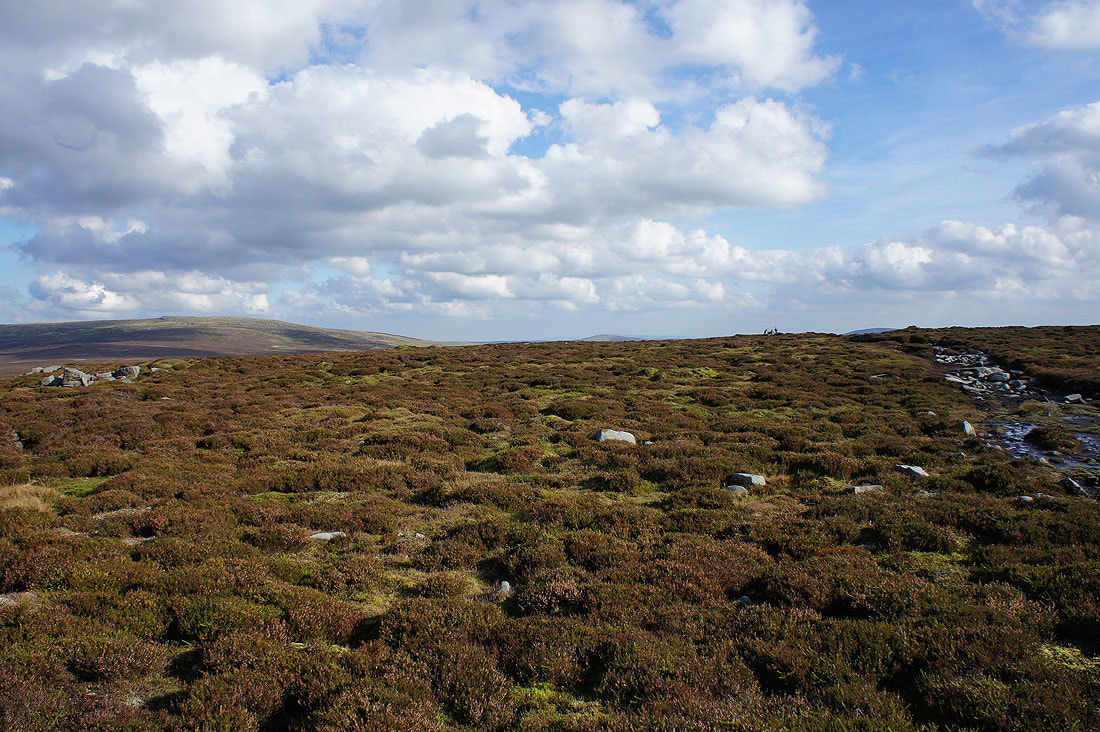
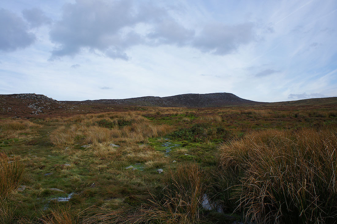
The shooters track heads for the gap between Ward's Stone and Grit Fell
Whernside, Ingleborough and Penyghent in the Yorkshire Dales
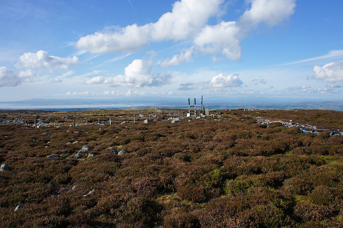
On the summit of Grit Fell. I'll never get tired of seeing this view across to the Lake District.
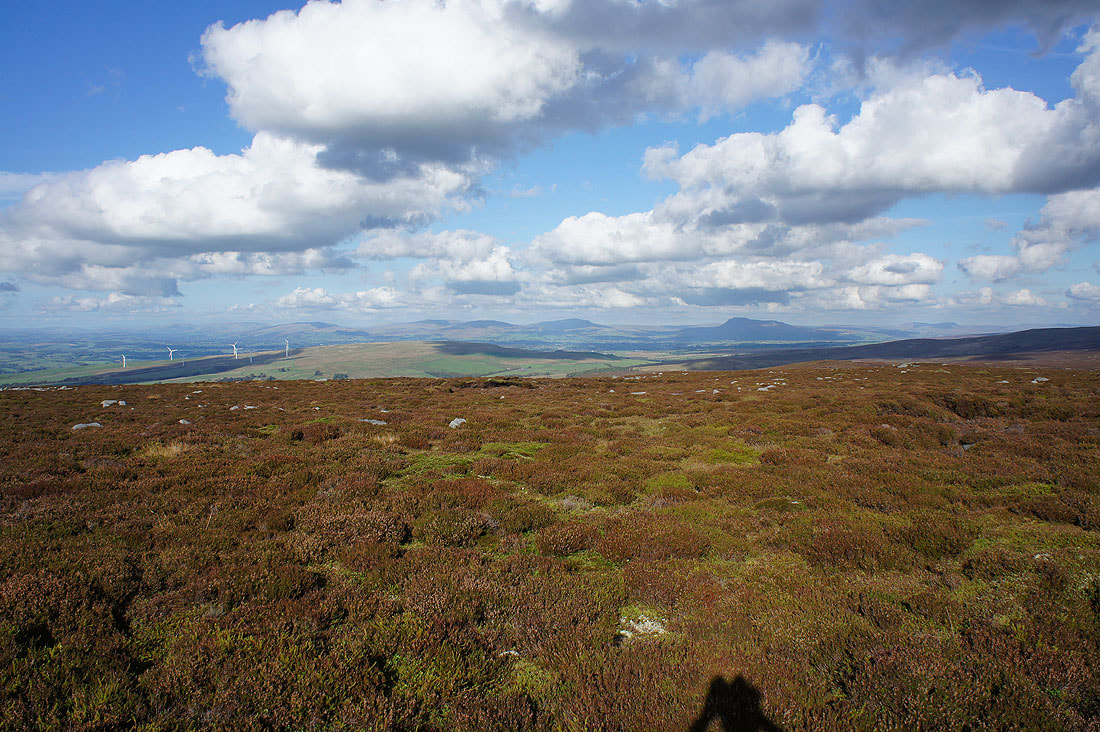
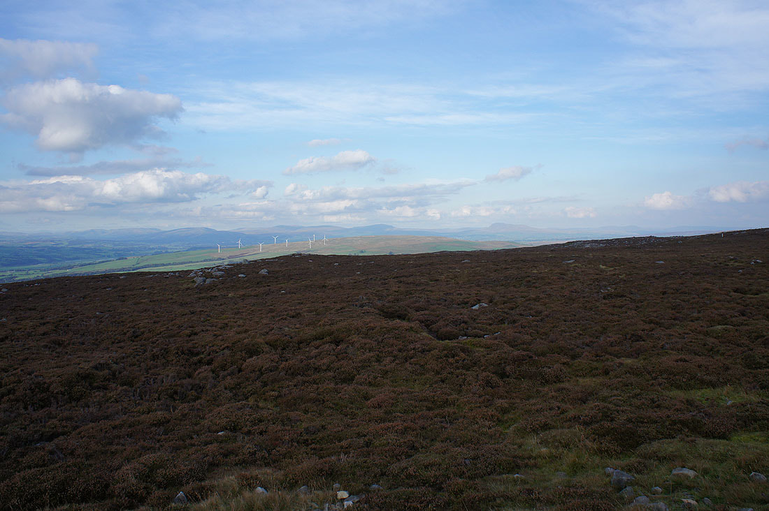
Looking across to the Howgills, Middleton Fell, Great Coum, Gragareth, Whernside, Ingleborough and Penyghent in the Yorkshire Dales
Ward's Stone to the left of the top of Grit Fell
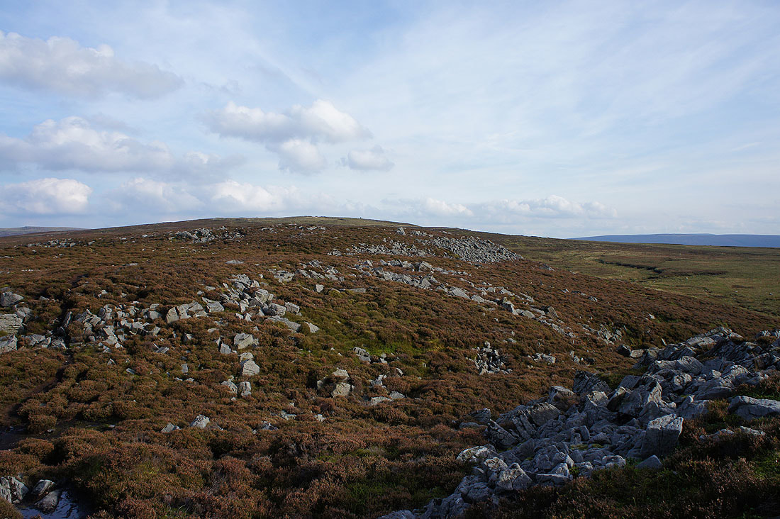
Heading for Clougha Pike
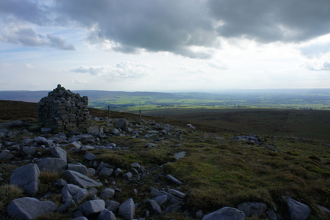
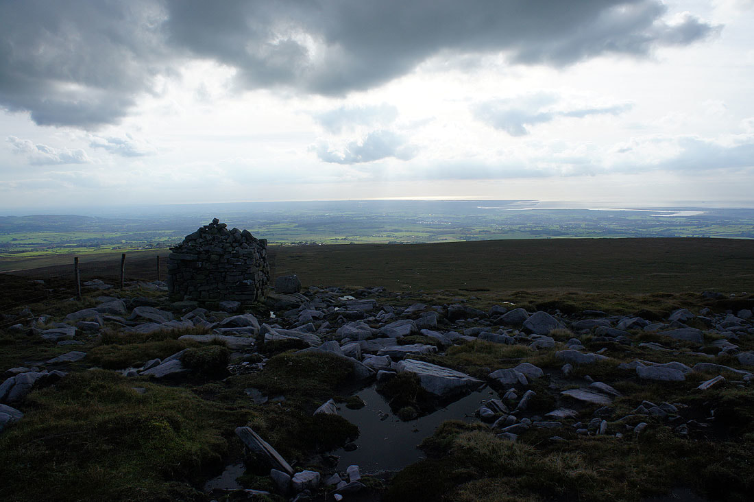
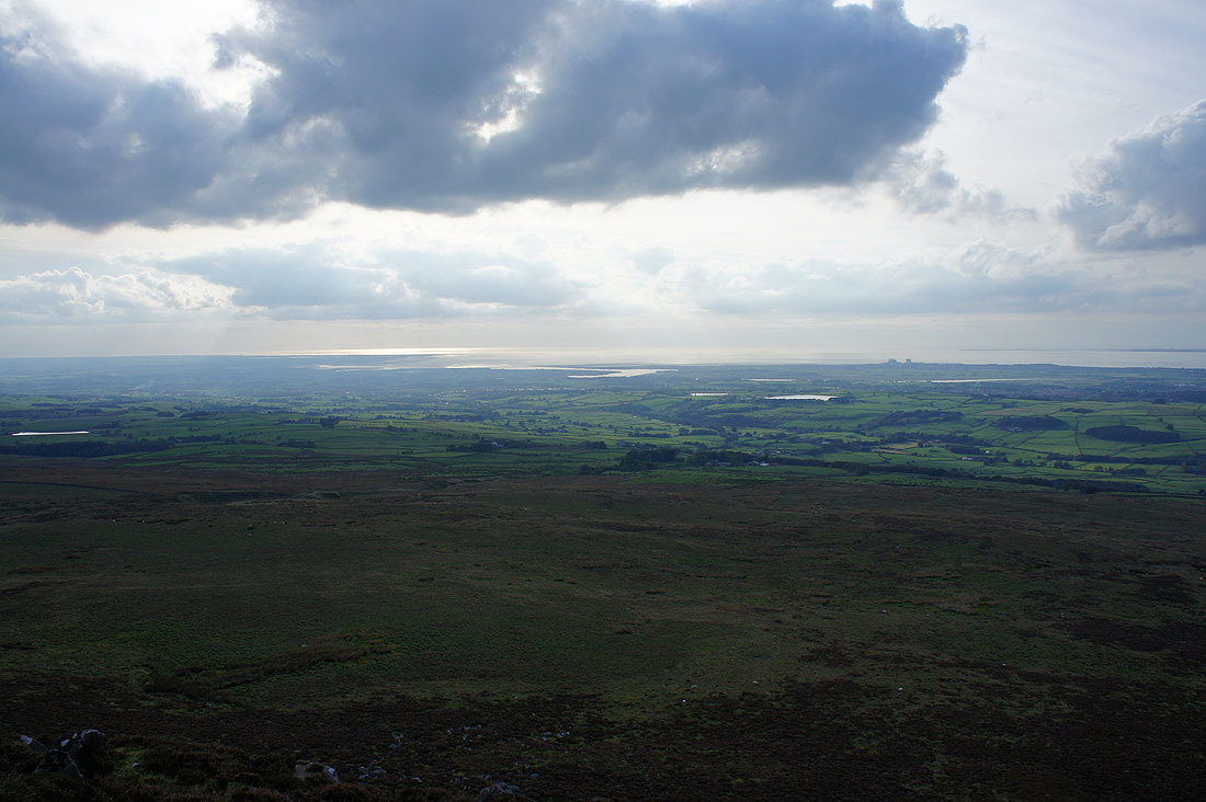
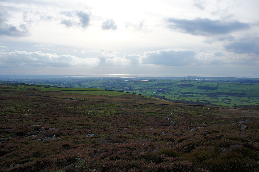
But first, a visit to the Shooters Pile cairn for a view across Wyresdale and the Fylde coast..
Great views as I now make my way to Clougha Pike
Looking back to Grit Fell
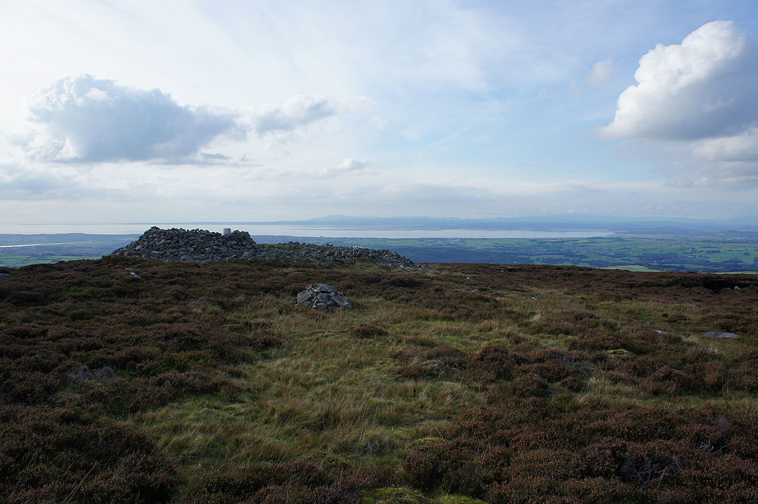
Approaching the trig point and summit cairn on Clougha Pike
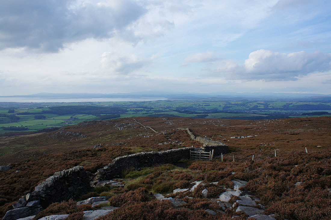
Unfortunately thickening cloud over the Irish Sea has made the sunshine very hazy this late into the afternoon but there's still a fantastic view to enjoy. The Fylde coast and the Lune estuary.
Morecambe Bay and the Lake District fells
The Howgills, Middleton Fell, Great Coum, Gragareth, Whernside, Ingleborough and Penyghent in the Yorkshire Dales
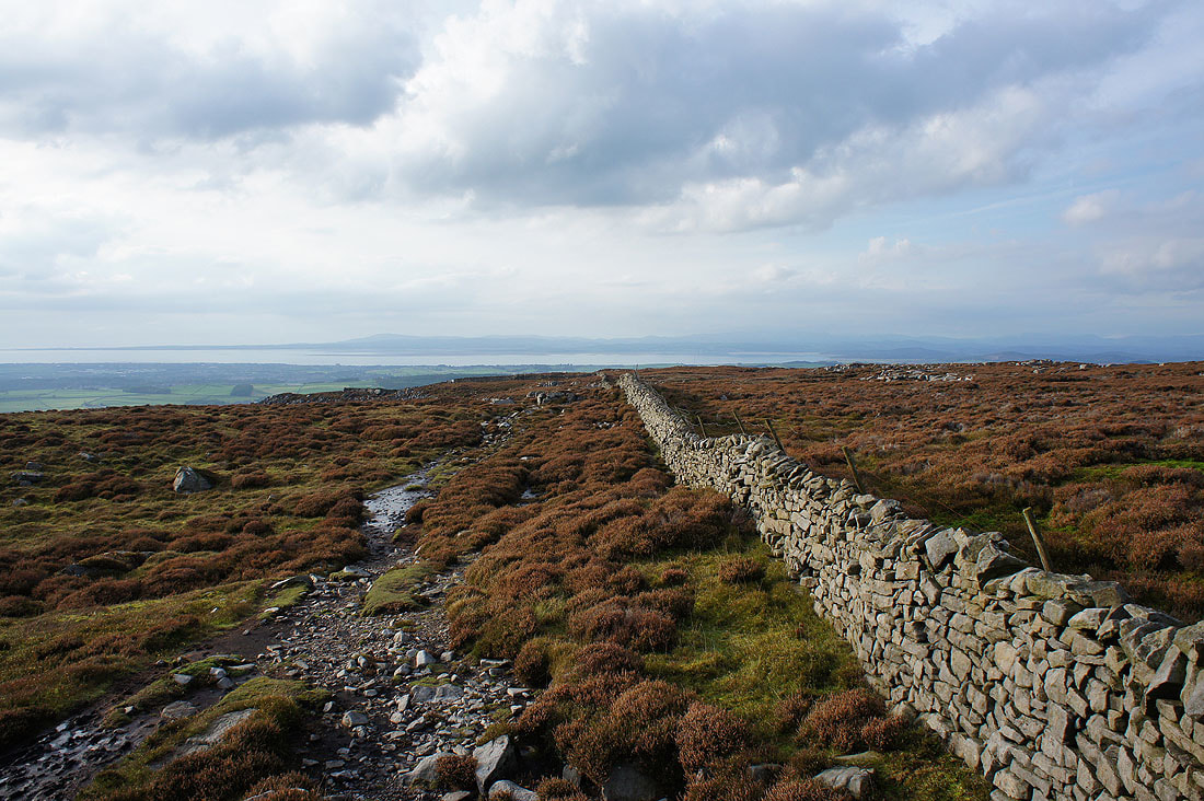
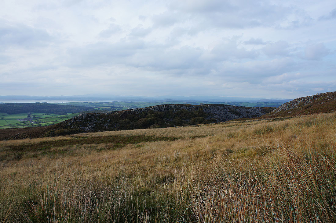
Heading down Clougha Scar..
The Lune estuary and the Condor valley
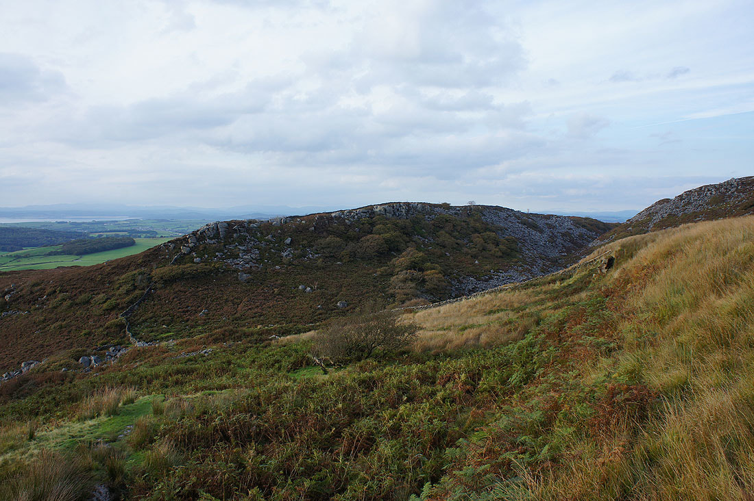
Looking back to the top of Clougha Pike
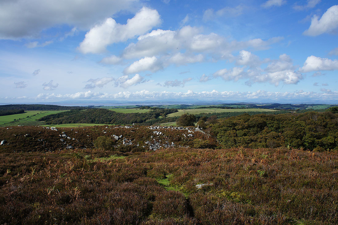
Lake District fells across the top of Windy Clough
The ravine of Windy Clough
A final shot out to the Lune estuary before I reach the woodland on Birk Bank
