28th September 2018 - Great Whernside
Walk Details
Distance walked: 11.9 miles
Total ascent: 2331 ft
OS map used: OL2 - Yorkshire Dales, Southern & Western areas and OL30 - Yorkshire Dales, Northern & Central areas
Time taken: 7.5 hrs
Route description: Conistone-Conistone Dib-Bycliffe Road-Conistone Turf Road-Capplestone Gate-Sweet Hill-Great Whernside-Hag Dyke-Kettlewell-Highgate Leys Lane-Dales Way-Scot Gate Lane-Conistone
A glorious autumn day for a walk up onto the high fells, and I happen to be off work today and able to take advantage of it. With more or less unbroken sunshine and light winds even high up it felt warm, even though the thermometer would have disagreed, and excellent visibility gave me fantastic views in all directions. I decided to try a new route to the summit of Great Whernside. It was basically an extension of a walk that I've done a few times before that visited the trig point on the moor of Capplestone Gate. Instead of heading down to Kettlewell from there I followed a fence that eventually took me up to the summit ridge of Great Whernside. I really enjoyed it and it's one that I'll certainly be doing again. However, the stretch of moorland from the start of the fence to where it climbs up to Sweet Hill could get a bit tricky after a lot of rain, so I'll need to pick the right day.
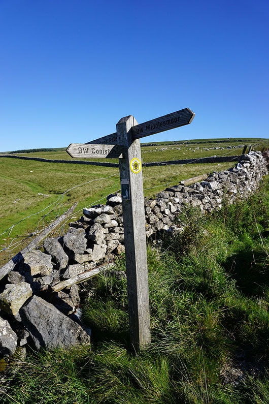
From the hamlet of Conistone I made my way through the hamlet and along the path up Conistone Dib. At its top I took the bridleway of Bycliffe Road which I left at a right turn for the footpath of Conistone Turf Road which heads uphill to the trig point at Capplestone Gate. After taking a break here I followed the wall north along the hillside until it reached a fence, which I then followed across moorland and then uphill to arrive on the top of Sweet Hill, where I stopped for lunch. Next stop was the summit of Great Whernside, but with detours to Stone Head Crag and its south top beforehand. I then made my way down to Kettlewell by the path via the Hag Dyke Scout Hostel. I had another stop in Kettlewell at The Cottage Tea Room where I had a can of lemonade and an ice-cream. It felt warm in the sunshine and light winds down in the valley. Time to head back. I started by making my way down to the bridge over the Wharfe to take the path south by the river. I left this for the Kettlewell to Conistone road which was joined by the trail of the Dales Way. I then followed the Dales Way south to the top of Scot Gate Lane. A walk down this track brought me back to Conistone.
Total ascent: 2331 ft
OS map used: OL2 - Yorkshire Dales, Southern & Western areas and OL30 - Yorkshire Dales, Northern & Central areas
Time taken: 7.5 hrs
Route description: Conistone-Conistone Dib-Bycliffe Road-Conistone Turf Road-Capplestone Gate-Sweet Hill-Great Whernside-Hag Dyke-Kettlewell-Highgate Leys Lane-Dales Way-Scot Gate Lane-Conistone
A glorious autumn day for a walk up onto the high fells, and I happen to be off work today and able to take advantage of it. With more or less unbroken sunshine and light winds even high up it felt warm, even though the thermometer would have disagreed, and excellent visibility gave me fantastic views in all directions. I decided to try a new route to the summit of Great Whernside. It was basically an extension of a walk that I've done a few times before that visited the trig point on the moor of Capplestone Gate. Instead of heading down to Kettlewell from there I followed a fence that eventually took me up to the summit ridge of Great Whernside. I really enjoyed it and it's one that I'll certainly be doing again. However, the stretch of moorland from the start of the fence to where it climbs up to Sweet Hill could get a bit tricky after a lot of rain, so I'll need to pick the right day.
From the hamlet of Conistone I made my way through the hamlet and along the path up Conistone Dib. At its top I took the bridleway of Bycliffe Road which I left at a right turn for the footpath of Conistone Turf Road which heads uphill to the trig point at Capplestone Gate. After taking a break here I followed the wall north along the hillside until it reached a fence, which I then followed across moorland and then uphill to arrive on the top of Sweet Hill, where I stopped for lunch. Next stop was the summit of Great Whernside, but with detours to Stone Head Crag and its south top beforehand. I then made my way down to Kettlewell by the path via the Hag Dyke Scout Hostel. I had another stop in Kettlewell at The Cottage Tea Room where I had a can of lemonade and an ice-cream. It felt warm in the sunshine and light winds down in the valley. Time to head back. I started by making my way down to the bridge over the Wharfe to take the path south by the river. I left this for the Kettlewell to Conistone road which was joined by the trail of the Dales Way. I then followed the Dales Way south to the top of Scot Gate Lane. A walk down this track brought me back to Conistone.
Route map
© Crown copyright. All rights reserved. License number PU 100034184.
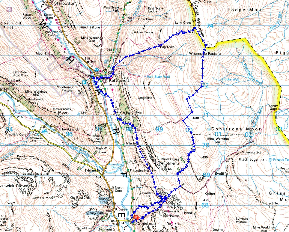
It's a lovely morning in Wharfedale as I take in the view of the river and Kilnsey Crag from Conistone Bridge
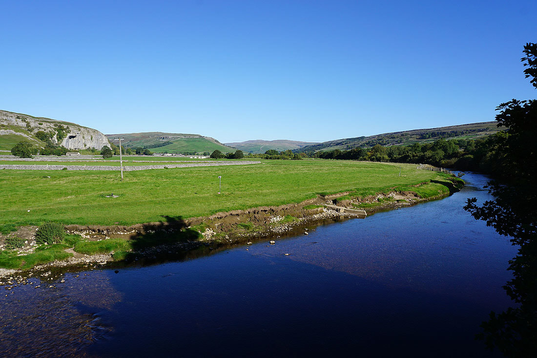
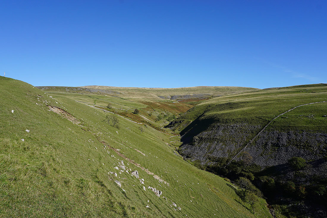
Making my way up through Conistone Dib..
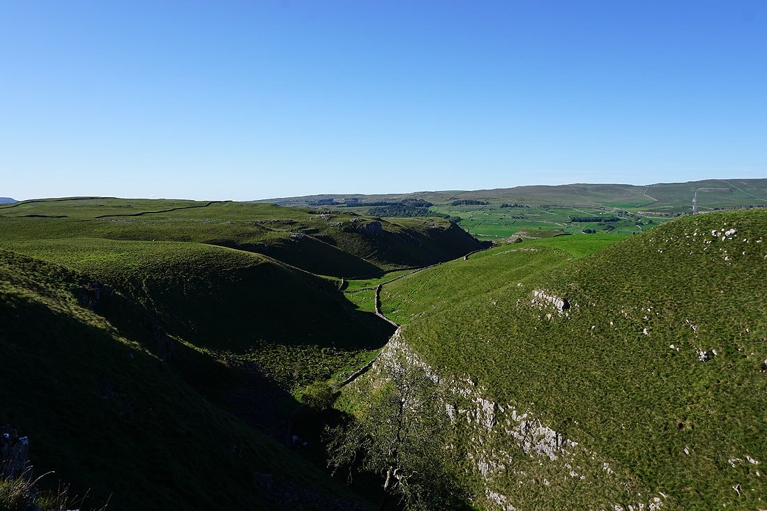
Looking back down the Dib from its top
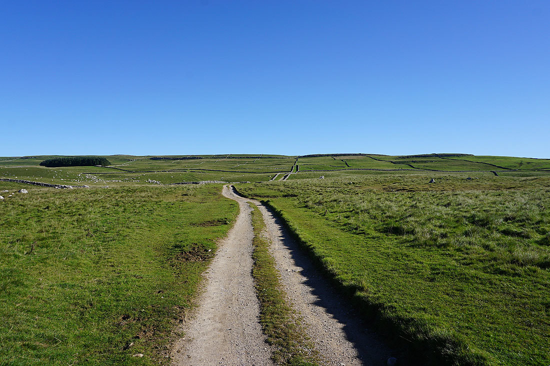
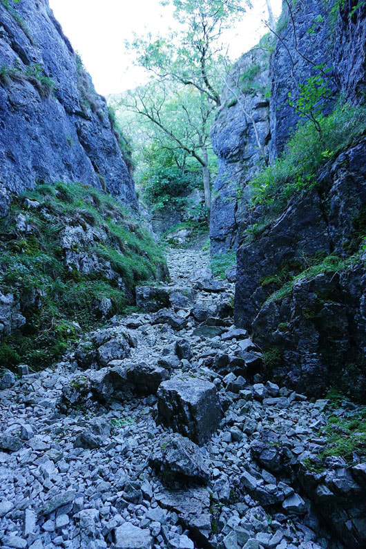
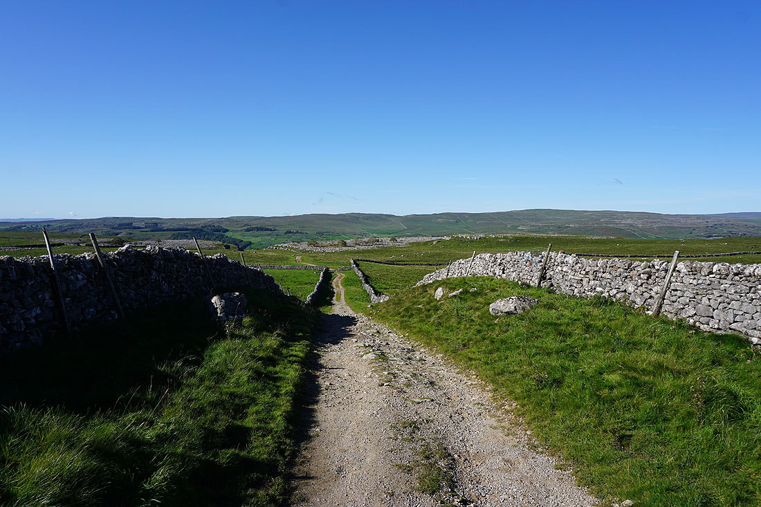
The track of Bycliffe Road takes me up onto the moor
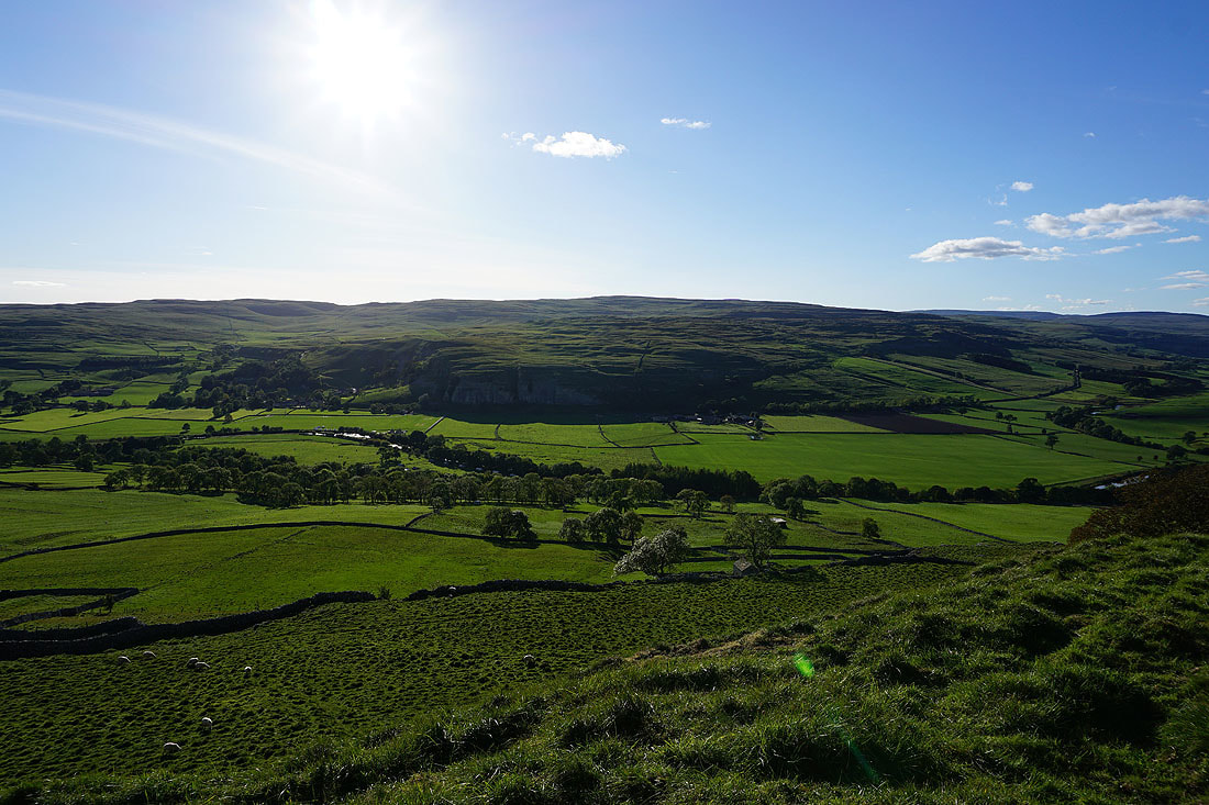
Looking back across Wharfedale to Kilnsey Moor
I leave Bycliffe Road for the path to Capplestone Gate
I have a great view across Wharfedale with Pendle Hill in the distance if I turn around

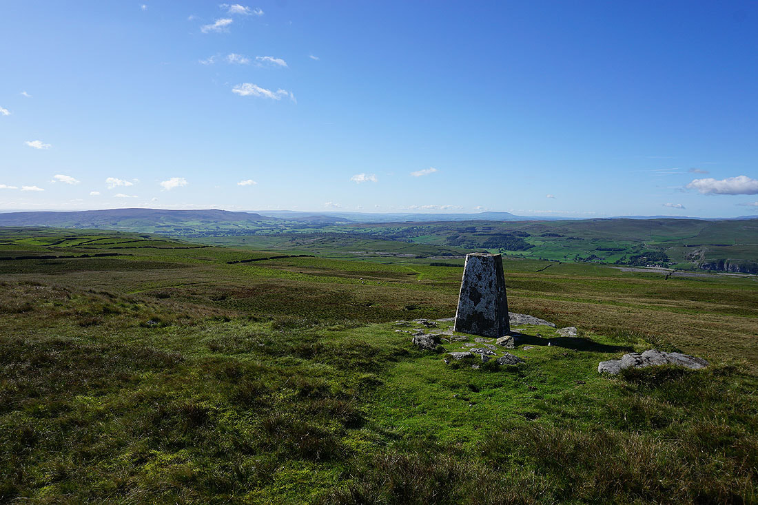
Fountains Fell and Old Cote Moor Top from the trig point at Capplestone Gate
Old Cote Moor Top, Yockenthwaite Moor and Buckden Pike to the northwest
Barden Moor on the left with Pendle Hill in the distance on the right
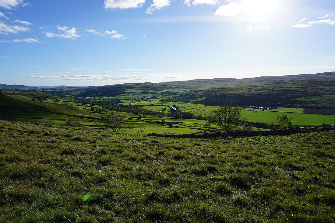
Looking down Wharfedale to Simon's Seat, Ilkley Moor and Barden Moor
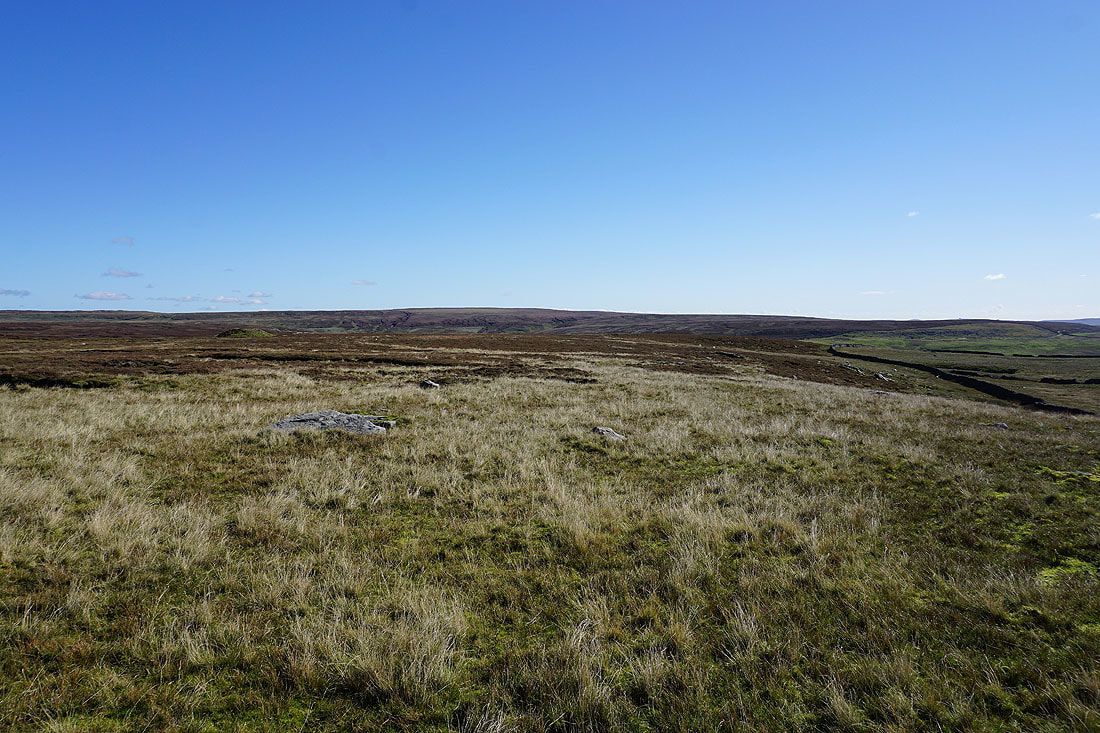
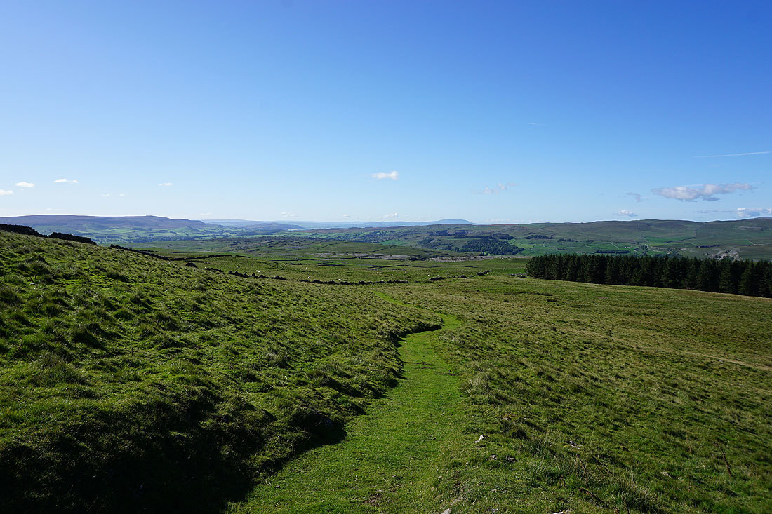
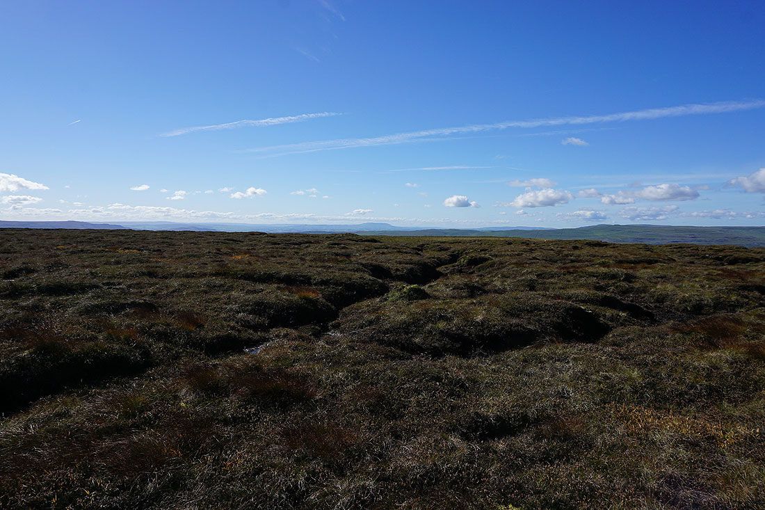
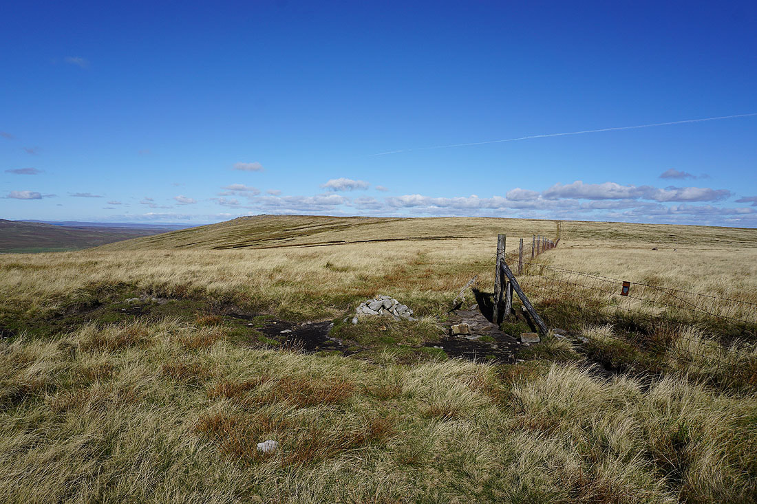
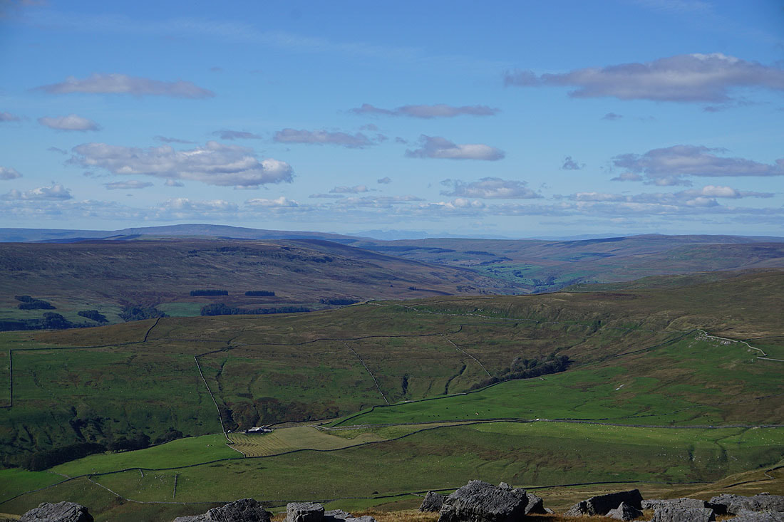
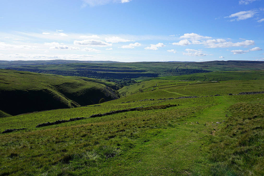
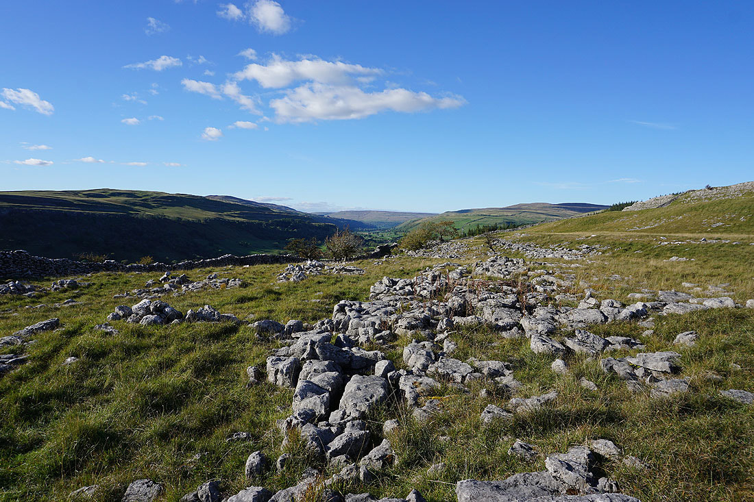
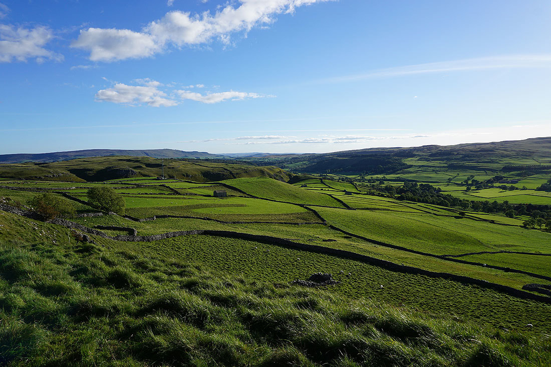
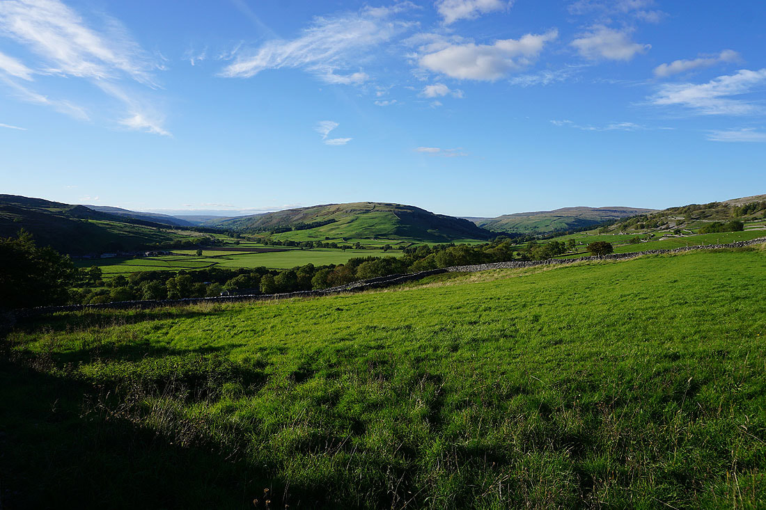
A broad expanse of moorland to the east between Wharfedale and Nidderdale
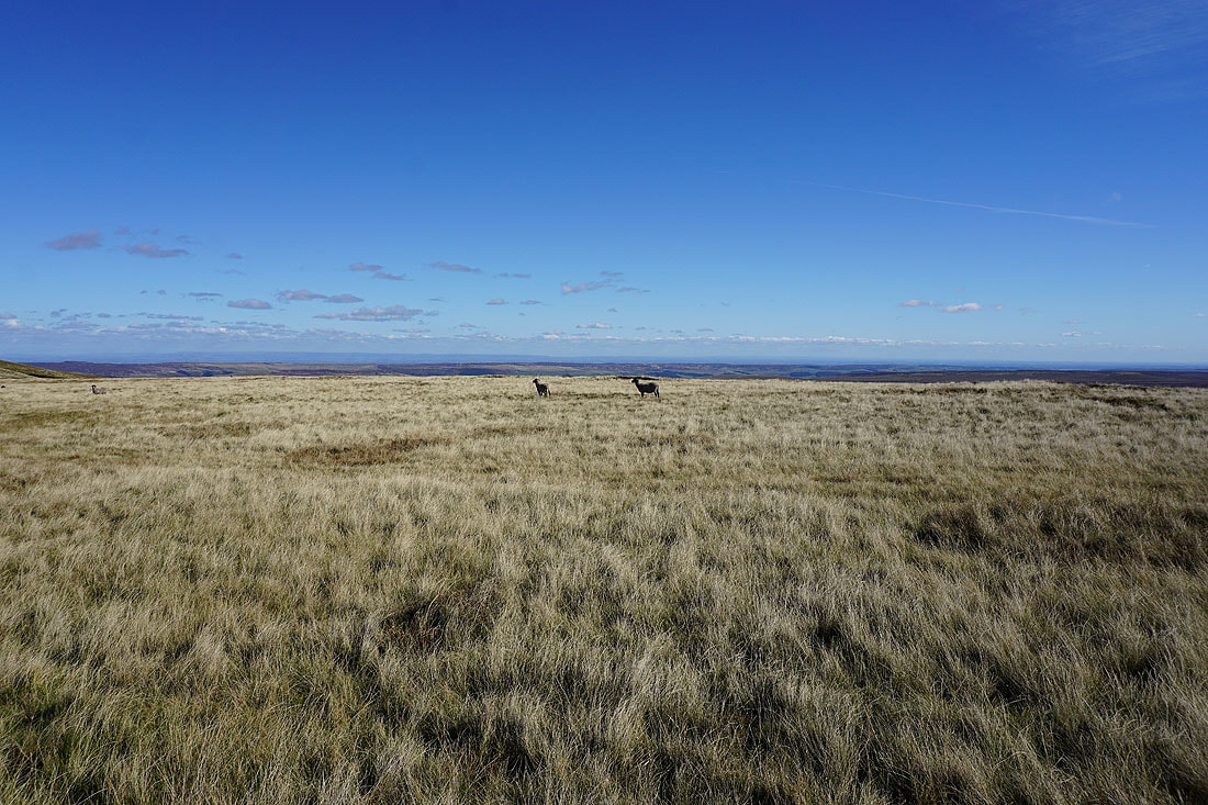
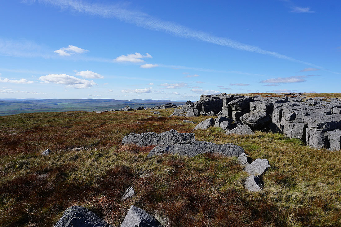
The southern end of Great Whernside, which is where I'm heading for now
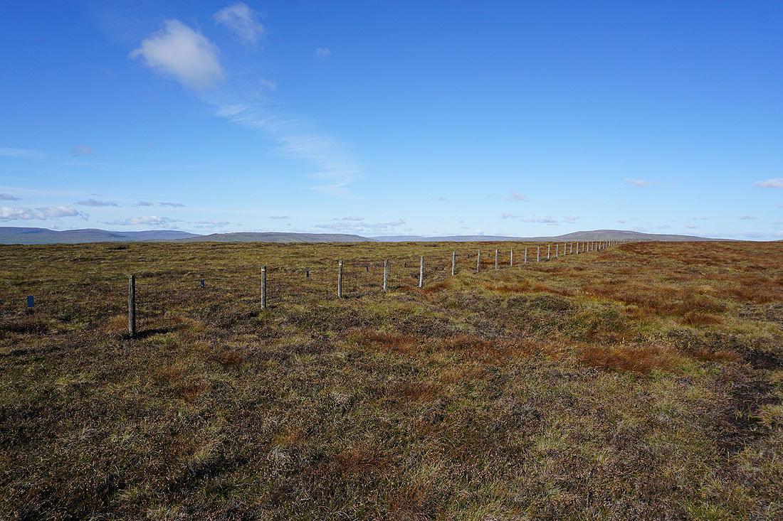
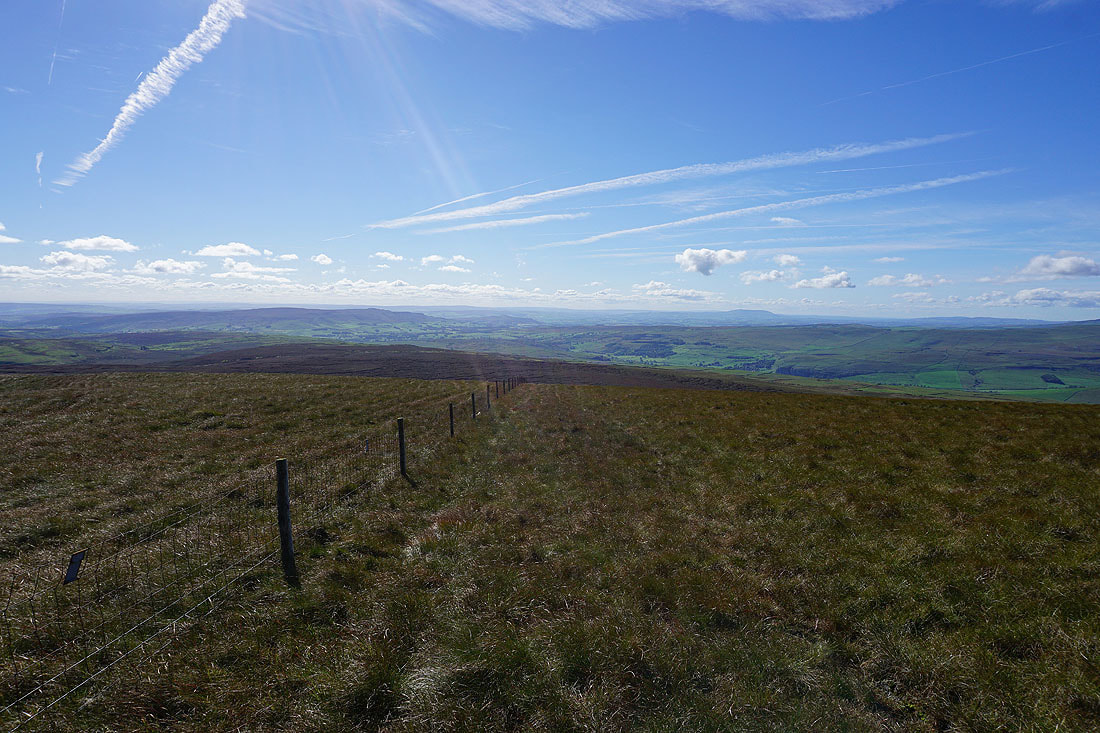
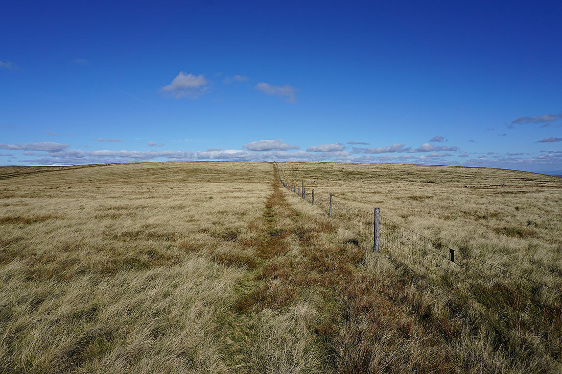
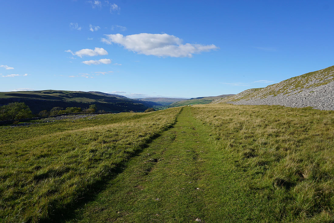
A great view across Wharfedale as I follow the wall north across the moor
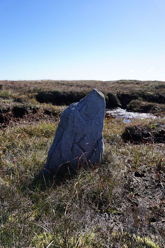
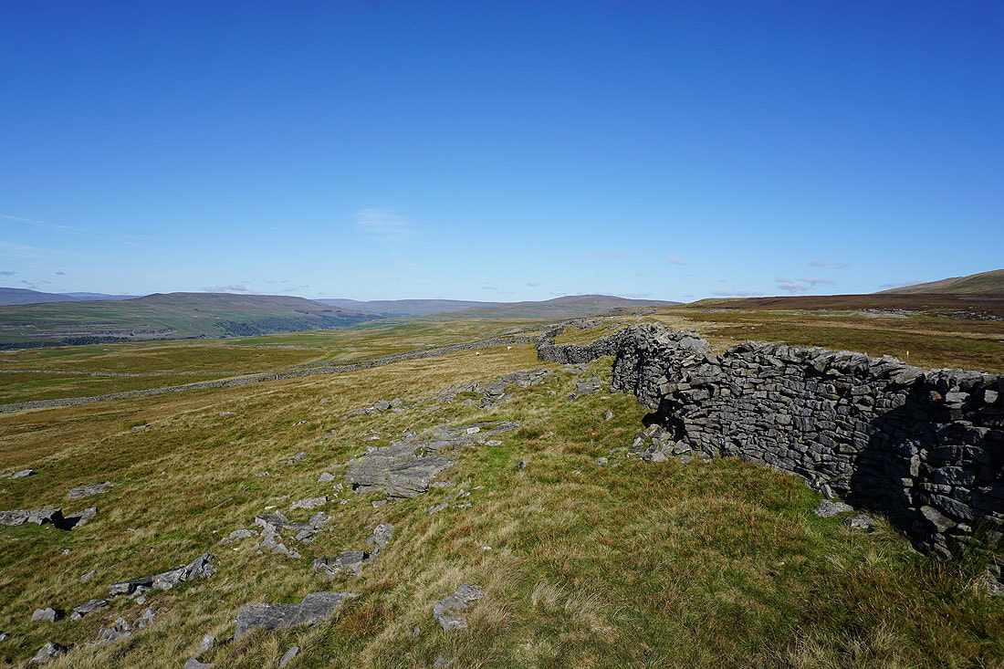
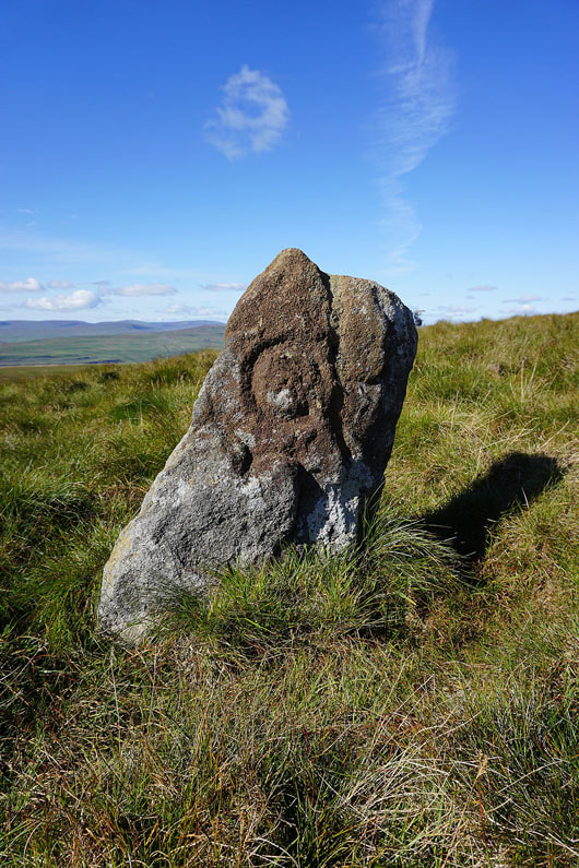
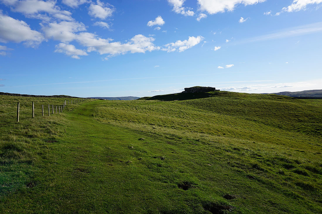
One of a few boundary stones by the fence that I'll follow up onto Great Whernside
Old Cote Moor Top and Buckden Pike
Pendle Hill in the distance
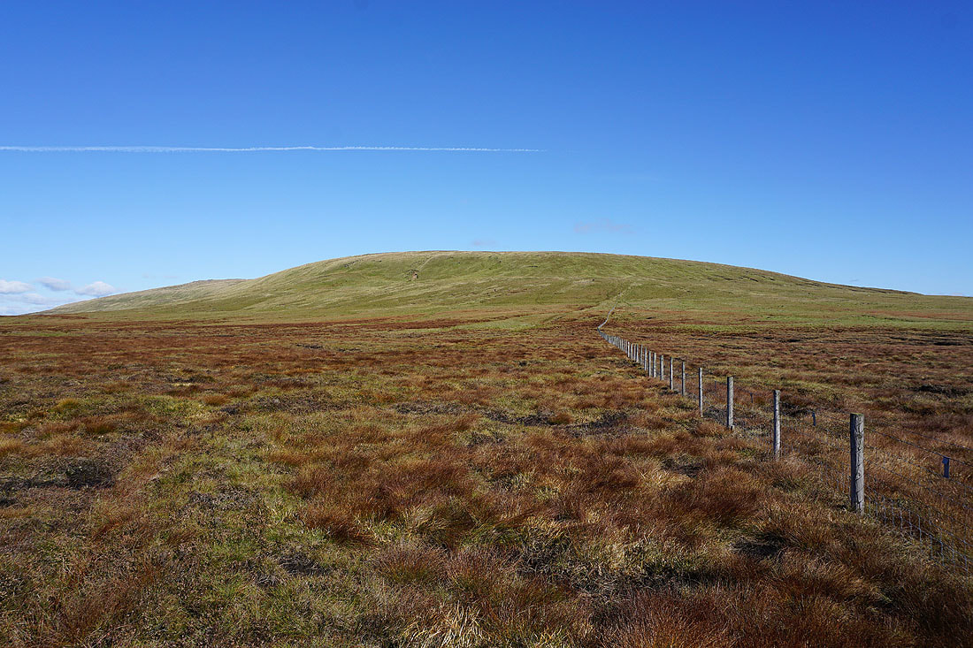
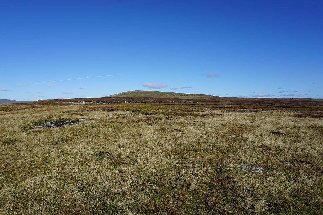
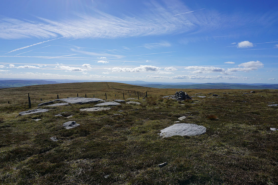
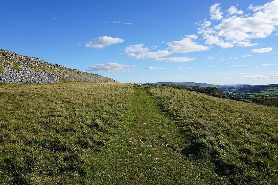
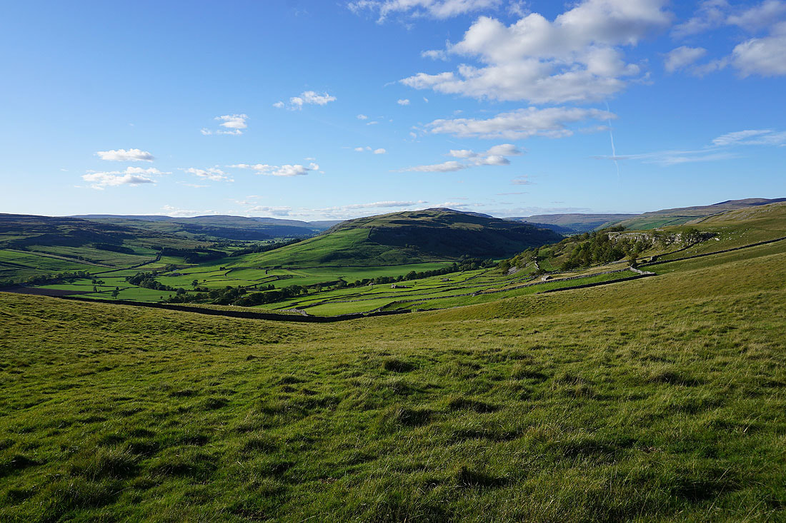
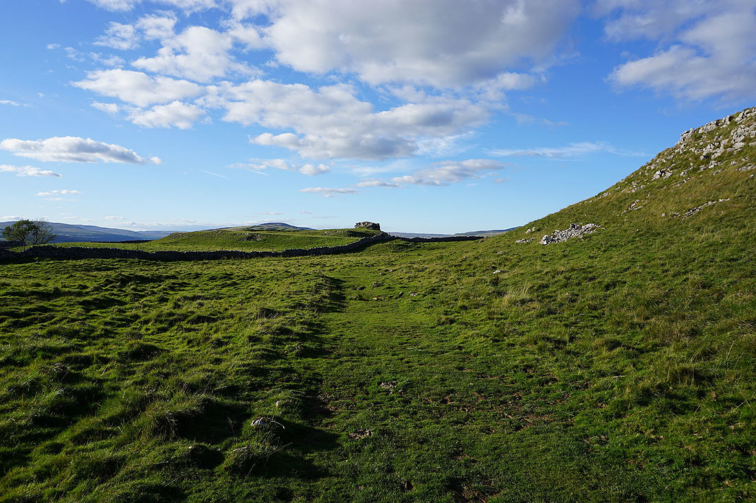
Steeper ground ahead with a climb up onto Sweet Hill, the southern end of Great Whernside
|
|
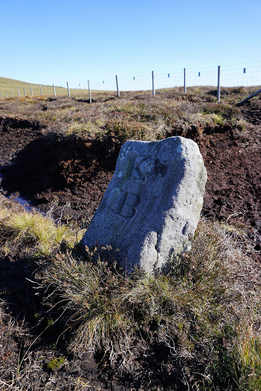
More boundary stones
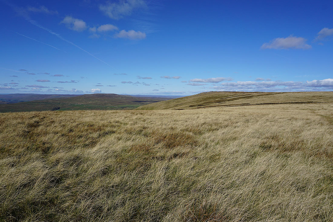
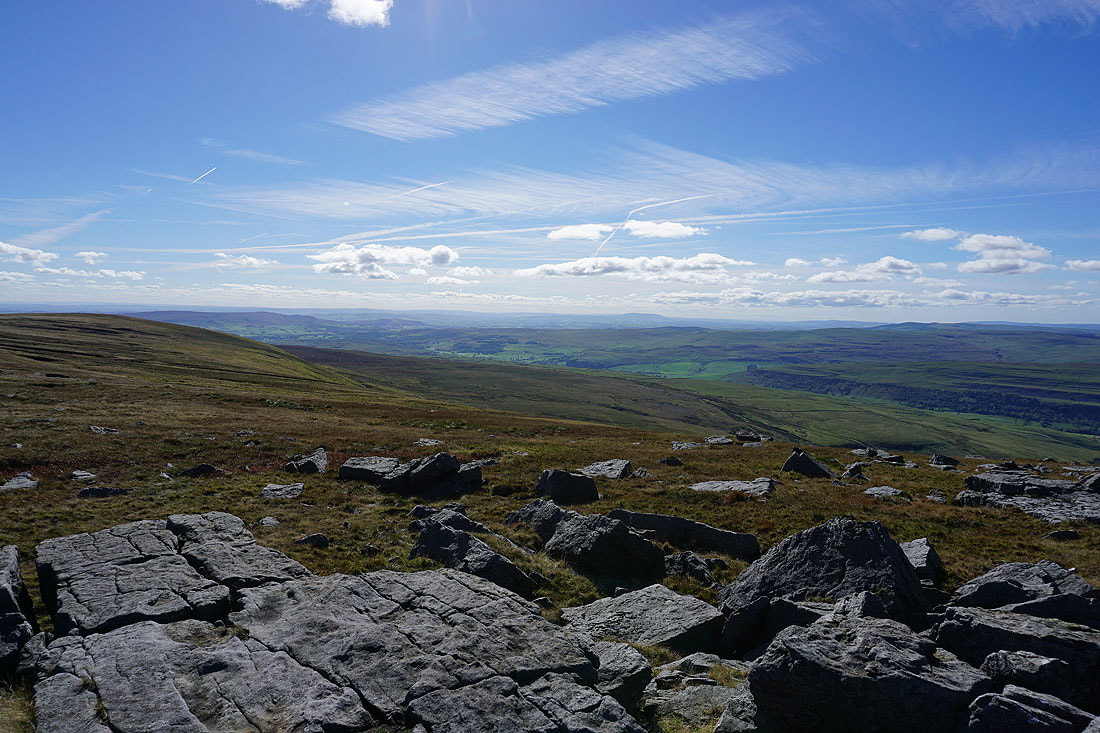
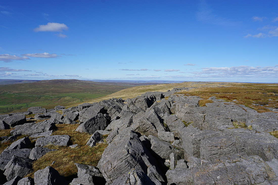
Distant views to the South Pennines beyond Barden Moor and Pendle Hill as I reach the top of Sweet Hill
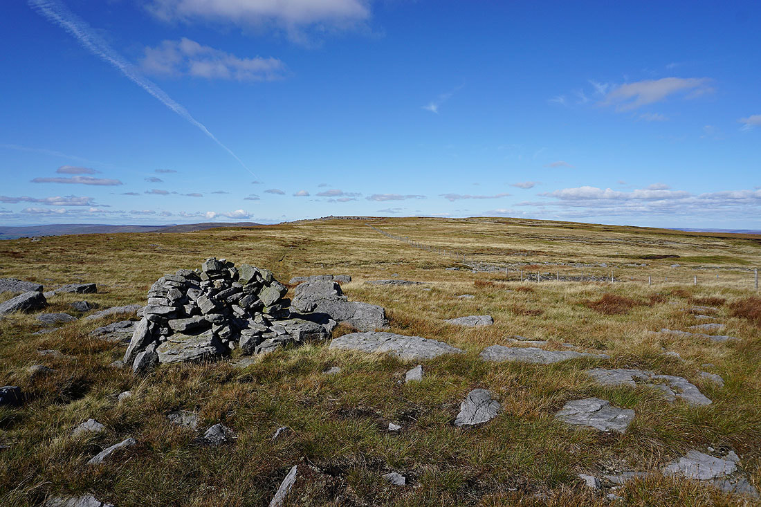
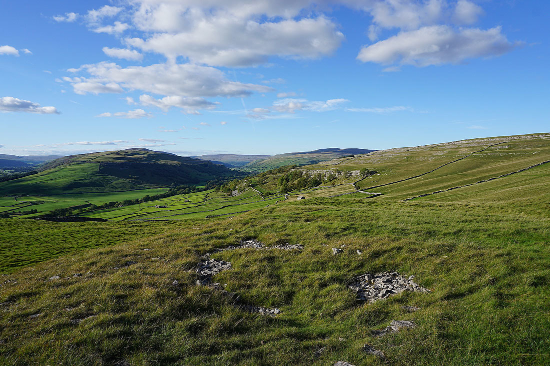
The summit of Great Whernside from Sweet Hill
Buckden Pike and Great Whernside
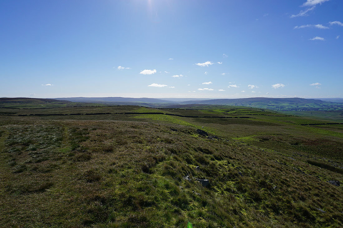
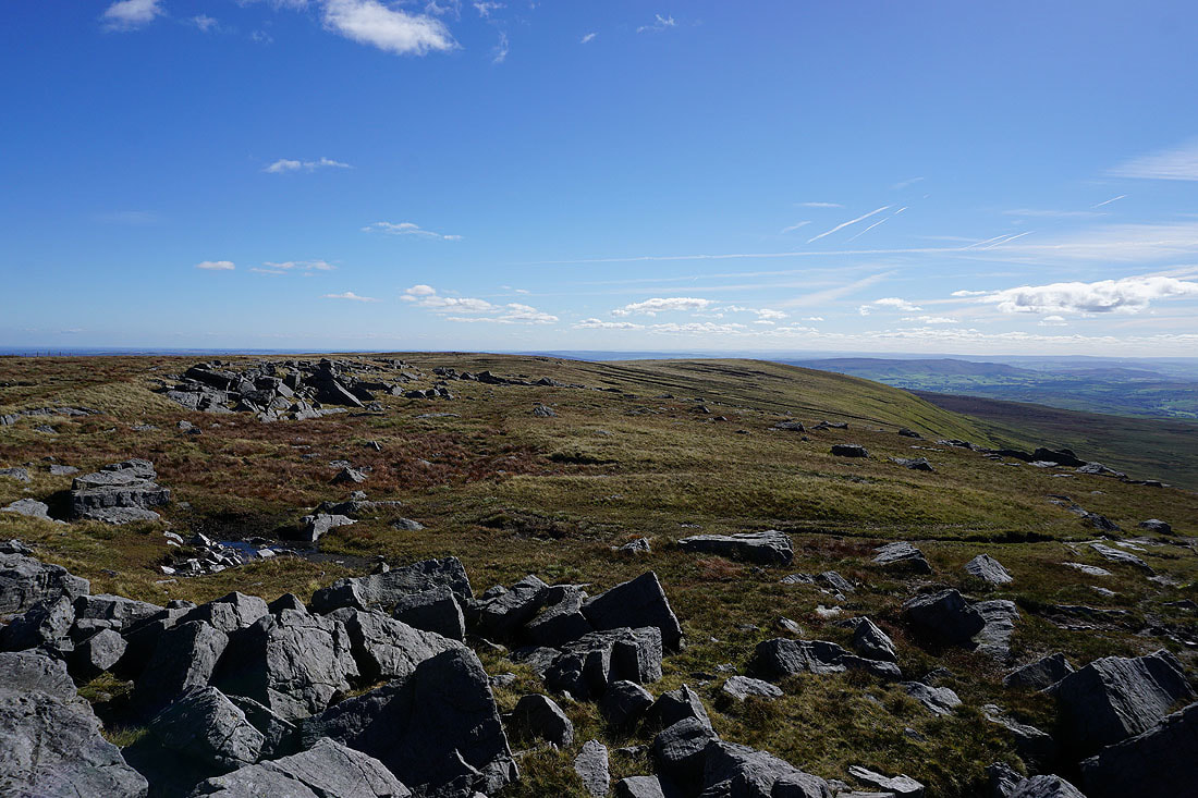
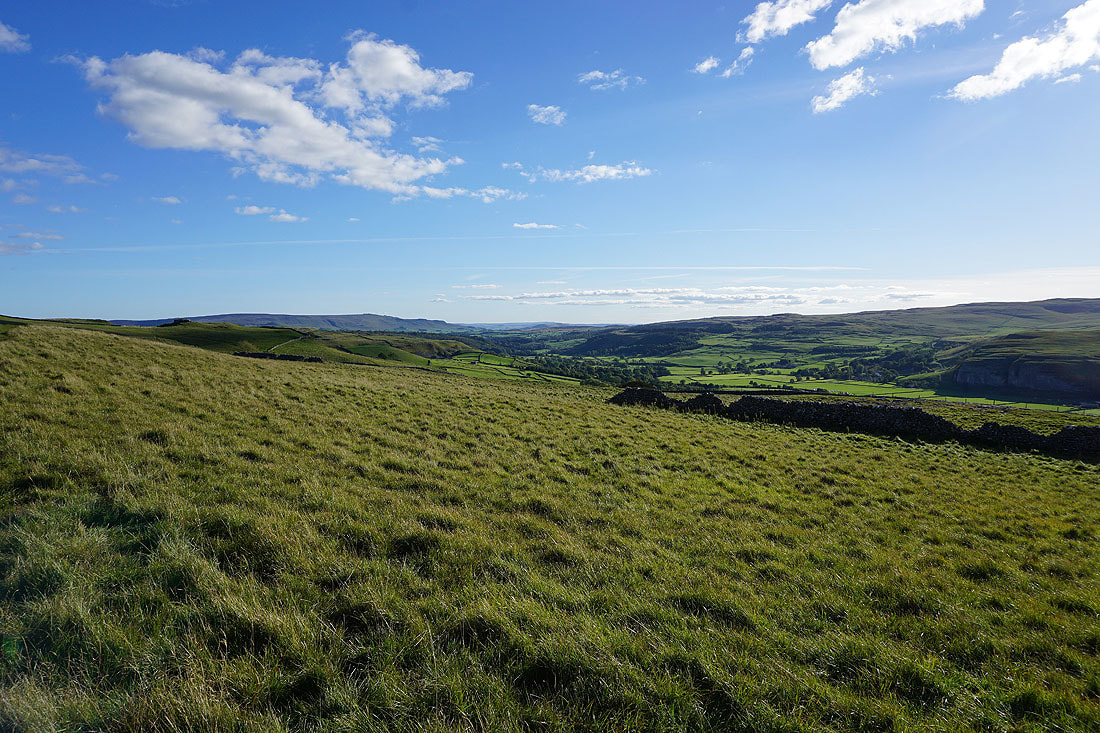
The moorland of Whernside Pasture, which looks great in the autumn sunshine
Heading for the southern top of Great Whernside
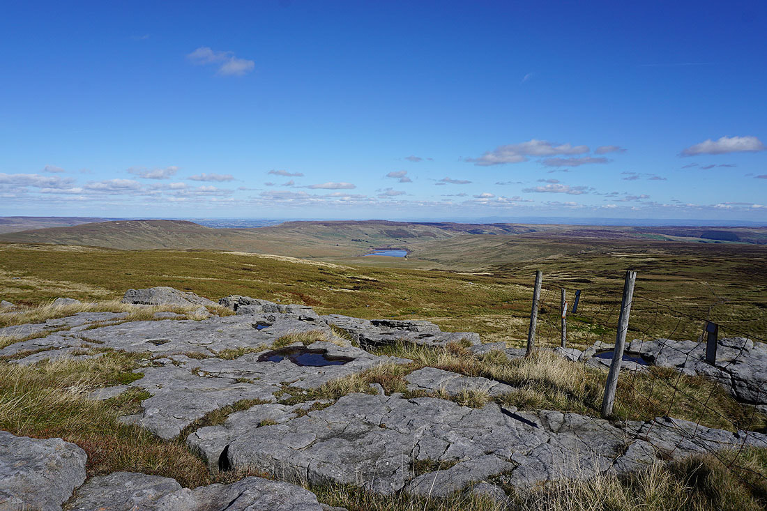
Little Whernside, Great Haw and Angram Reservoir from Stone Head Crag
and the moorland around Nidderdale
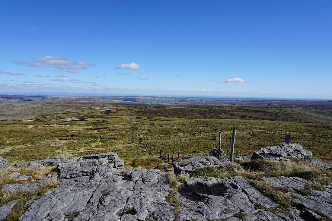
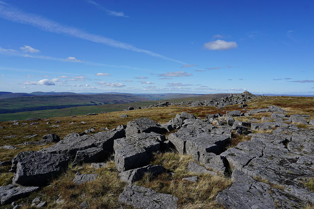
Sweet Hill with Pendle Hill in the distance from Great Whernside's south top
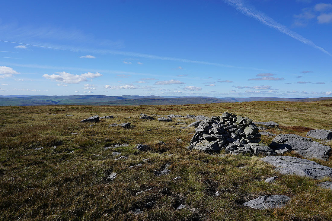
The summit and trig point is just a short distance away
Fountains Fell, Penyghent, Ingleborough and Whernside
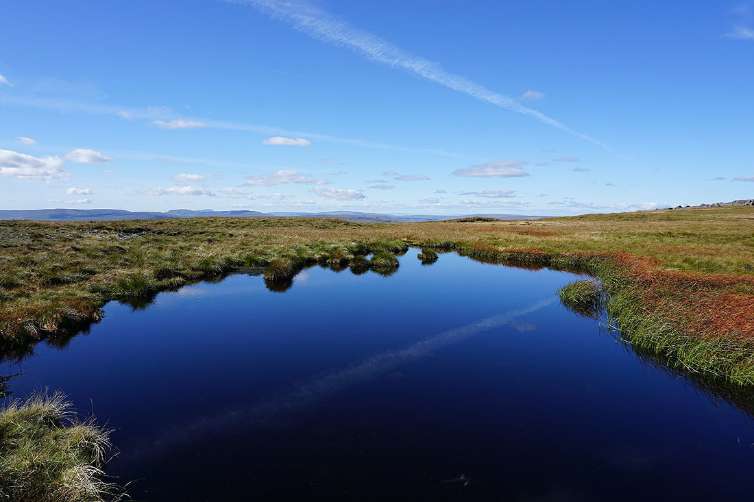
A blue pool to reflect the sky
A small gritstone crag provides a photo opportunity
From the top of it I get a fantastic view across Wharfedale..
..and to the summit cairn and trig point
Fountains Fell, Penyghent, Ingleborough, Plover Hill, Whernside and Dodd Fell Hill from the summit of Great Whernside
Zooming in and to the right of Whernside I can make out Scafell, Scafell Pike, Great End and Great Gable in the Lake District
Buckden Pike to the left with the moors around Wensleydale in the distance to the north
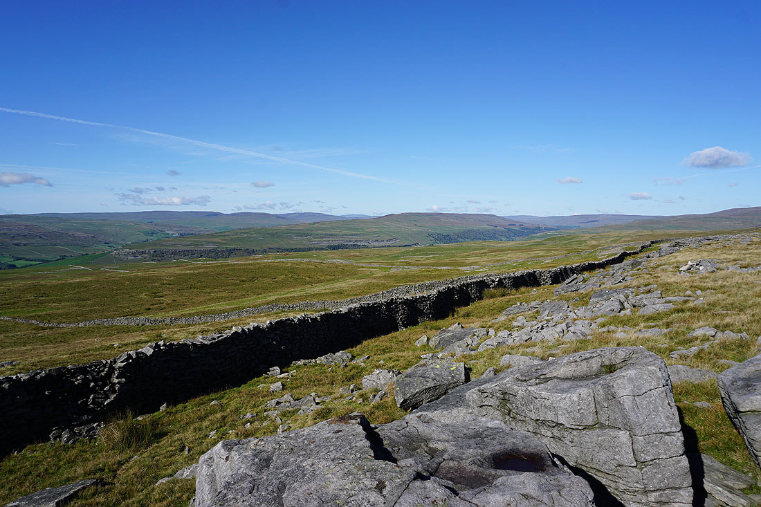
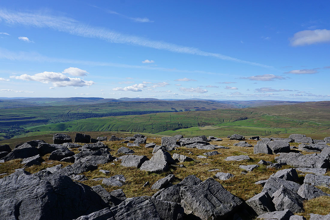
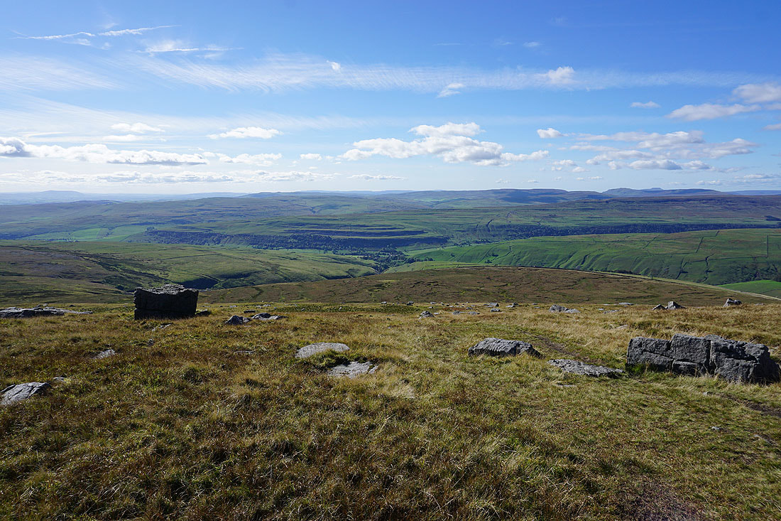
Looking south along the summit ridge
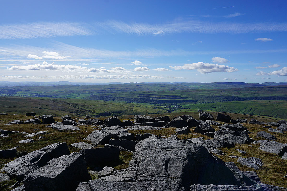
Looking west across the moorland around Littondale and Wharfedale
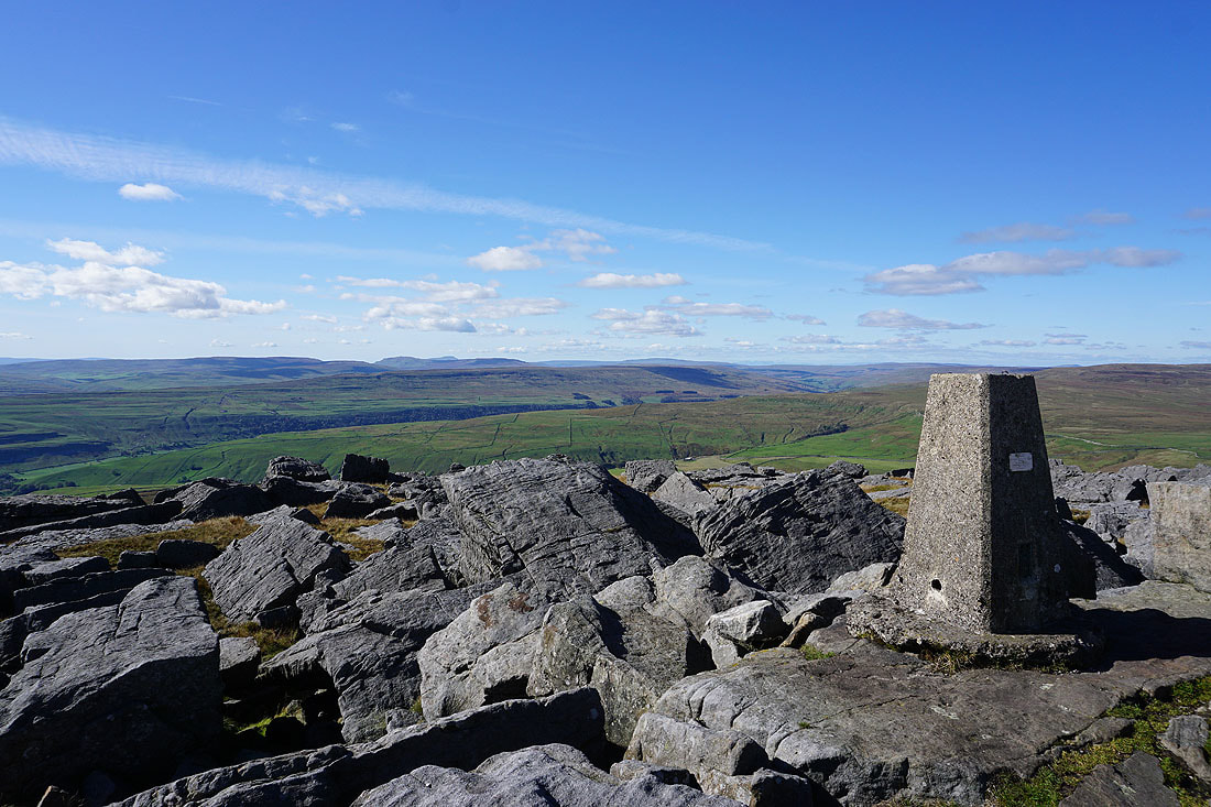
Finally, the view from the trig point
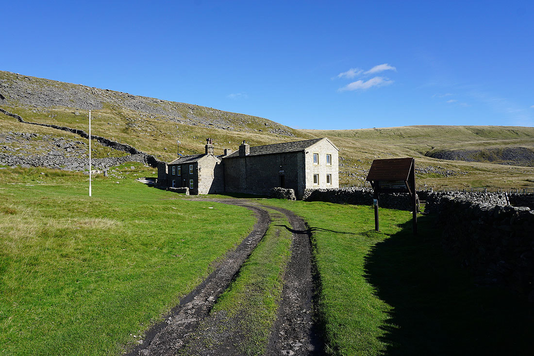
On the path down to the Hag Dyke Scout Hostel...
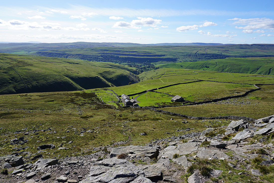
Heading for Kettlewell above Dowber Gill Beck
Looking back to the summit ridge above Dowber Gill Beck
After a break for refreshments I leave Kettlewell behind
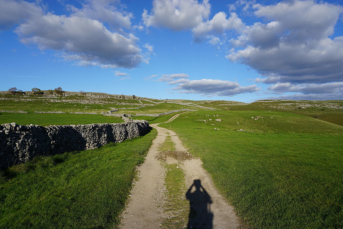
Not too far south of Kettlewell I join the trail of the Dales Way. It gives me fantastic views across Wharfedale as I follow it south......
Approaching the limestone outcrop of Conistone Pie
The meeting of Littondale and Wharfedale..
..with Swineber Scar on the side of the fell
Looking across the valley to Kilnsey Crag..
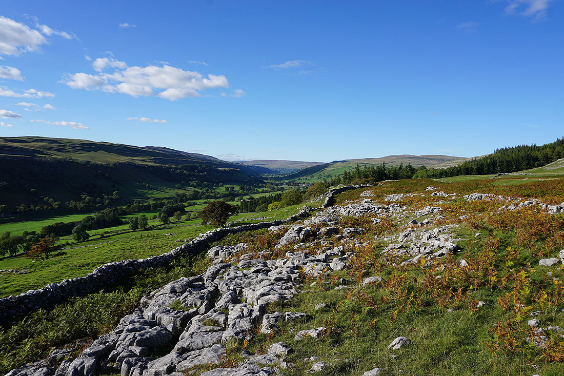
..and south down Wharfedale
Looking back to Conistone Pie as I resume my walk along the Dales Way
There's a fantastic light on the hillside behind me as I head down Scot Gate Lane to Conistone
Looking up Wharfedale from Scot Gate Lane
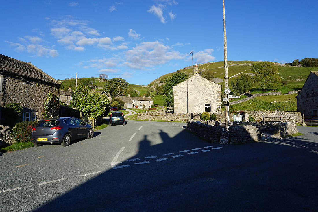
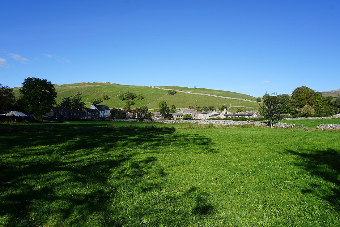
Back in Conistone
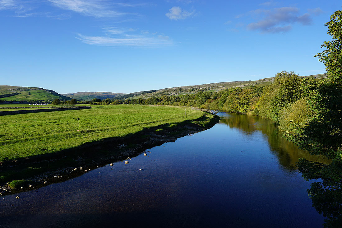
A final shot of the River Wharfe from Conistone Bridge