28th September 2019 - Nab Hill
Walk Details
Distance walked: 9.5 miles
Total ascent: 1827 ft
OS map used: OL21 - South Pennines
Time taken: 5.5 hrs
Route description: Penistone Hill Country Park-Drop Farm-Lee Lane-Bodkin Lane-Calder/Aire Link-Hard Naze Lane-A6033-Intake Lane-Nab Water Lane-Nab Hill-Hambleton Lane-Bronte Way-Leeming Reservoir-Leeming-Dark Lane-A6033-Bronte Way-Penistone Hill Country Park
Luckily a break in the weather happened to coincide with daylight hours today during what was forecast to be a weekend of rather poor weather. I decided to stay local and drive across the moors to the Worth Valley for a walk in Bronte Country. Being just a twenty minute drive away from home, this is becoming one of my favourite places to go for a walk. For this visit I worked out a route to Nab Hill and back from Penistone Hill Country Park, trying to use paths that I haven't walked along before if I could. Most of my walk was done under blue skies and fluffy clouds, but during the last hour the weather went downhill as it clouded over and started to drizzle heavily.
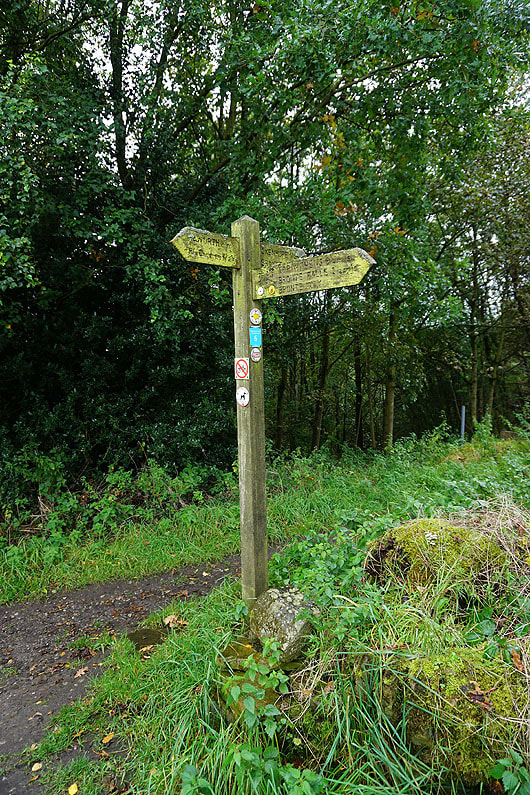
From the car park at Penistone Hill Country Park I crossed Moor Side Lane, took the track to Drop Farm, then turned left and followed the footpath down through fields to Lee Lane. I then made my way along the track up to and around Leeshaw Reservoir, then up Bodkin Lane to reach the trail of the Calder/Aire Link. I then followed this east across the hillside past Lowerfold Farm and across Rag Clough Beck to the hillside of Stones, where I picked up the track of Hard Naze Lane. This took me up to Hebden Bridge Road, which I crossed, to reach the track of Intake Lane opposite. I followed this east until I reached a footpath on the right that took me across the hillside to Nab Water Lane, and after walking up the lane I took a path on the left as a short-cut to join the lane higher up to reach a path on the left onto Nab Hill. I followed this east along the edge of Nab Hill, past the many cairns (stopped for lunch here), and down to the track of Hambleton Lane. I then made my way north down Hambleton Lane and onto the trail of the Bronte Way down to Leeming Reservoir before taking a path past the eastern end of Leeming Reservoir up to the main road through Leeming. I crossed the road onto the lane opposite, which I followed to its end, and onto the footpath across the hillside to Dark Lane. I then walked along Dark Lane down to the A6033 in Oxenhope, across to and down Harry Lane, and onto the Bronte Way. I followed the trail over the Keighley and Worth Valley Railway, up fields to Marsh Lane, left along Marsh Lane, then right up Old Oxenhope Lane to Old Oxenhope Farm. From Old Oxenhope Farm I continued north on the Bronte Way past Sowdens Farm until I reached a track up to the road below Penistone Hill. A walk across Penistone Hill took me back to where I was parked.
Total ascent: 1827 ft
OS map used: OL21 - South Pennines
Time taken: 5.5 hrs
Route description: Penistone Hill Country Park-Drop Farm-Lee Lane-Bodkin Lane-Calder/Aire Link-Hard Naze Lane-A6033-Intake Lane-Nab Water Lane-Nab Hill-Hambleton Lane-Bronte Way-Leeming Reservoir-Leeming-Dark Lane-A6033-Bronte Way-Penistone Hill Country Park
Luckily a break in the weather happened to coincide with daylight hours today during what was forecast to be a weekend of rather poor weather. I decided to stay local and drive across the moors to the Worth Valley for a walk in Bronte Country. Being just a twenty minute drive away from home, this is becoming one of my favourite places to go for a walk. For this visit I worked out a route to Nab Hill and back from Penistone Hill Country Park, trying to use paths that I haven't walked along before if I could. Most of my walk was done under blue skies and fluffy clouds, but during the last hour the weather went downhill as it clouded over and started to drizzle heavily.
From the car park at Penistone Hill Country Park I crossed Moor Side Lane, took the track to Drop Farm, then turned left and followed the footpath down through fields to Lee Lane. I then made my way along the track up to and around Leeshaw Reservoir, then up Bodkin Lane to reach the trail of the Calder/Aire Link. I then followed this east across the hillside past Lowerfold Farm and across Rag Clough Beck to the hillside of Stones, where I picked up the track of Hard Naze Lane. This took me up to Hebden Bridge Road, which I crossed, to reach the track of Intake Lane opposite. I followed this east until I reached a footpath on the right that took me across the hillside to Nab Water Lane, and after walking up the lane I took a path on the left as a short-cut to join the lane higher up to reach a path on the left onto Nab Hill. I followed this east along the edge of Nab Hill, past the many cairns (stopped for lunch here), and down to the track of Hambleton Lane. I then made my way north down Hambleton Lane and onto the trail of the Bronte Way down to Leeming Reservoir before taking a path past the eastern end of Leeming Reservoir up to the main road through Leeming. I crossed the road onto the lane opposite, which I followed to its end, and onto the footpath across the hillside to Dark Lane. I then walked along Dark Lane down to the A6033 in Oxenhope, across to and down Harry Lane, and onto the Bronte Way. I followed the trail over the Keighley and Worth Valley Railway, up fields to Marsh Lane, left along Marsh Lane, then right up Old Oxenhope Lane to Old Oxenhope Farm. From Old Oxenhope Farm I continued north on the Bronte Way past Sowdens Farm until I reached a track up to the road below Penistone Hill. A walk across Penistone Hill took me back to where I was parked.
Route map
© Crown copyright. All rights reserved. License number PU 100034184.
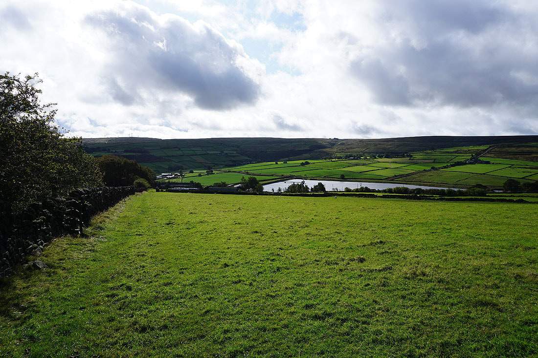
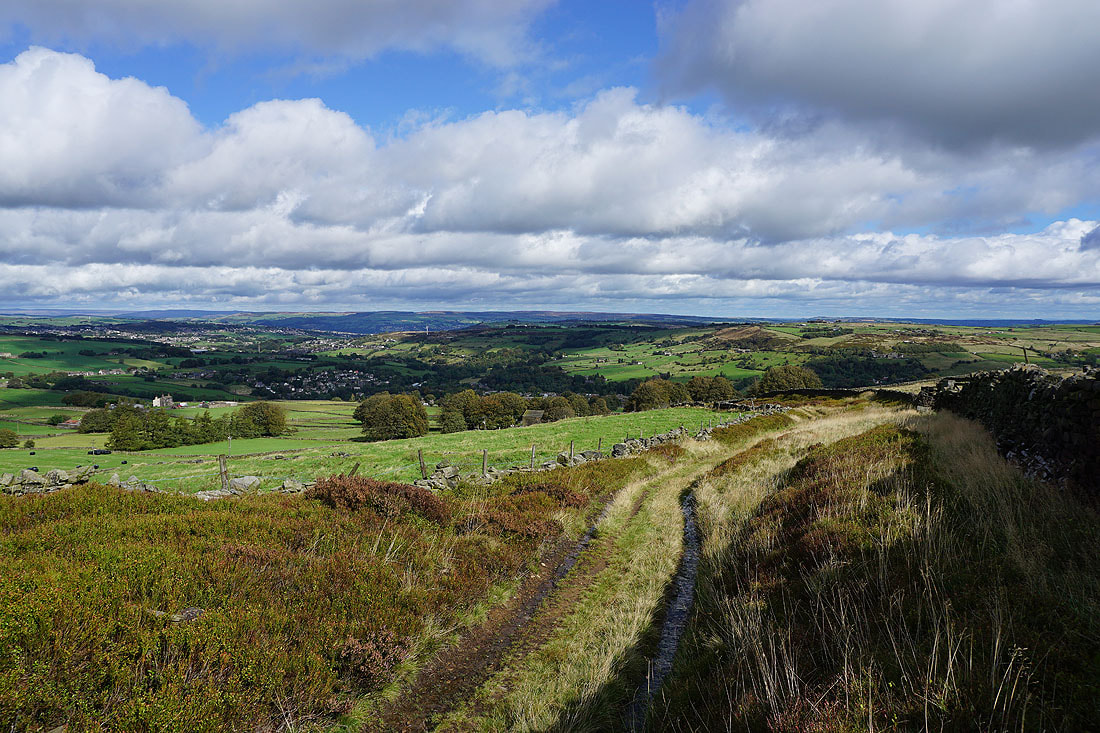
Autumnal sunshine across the Worth Valley from the car park on Penistone Hill..
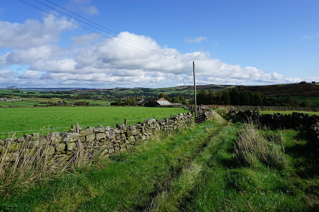
Looking back to Penistone Hill from the track to Drop Farm
Leeshaw Reservoir from the path down to Lee Lane
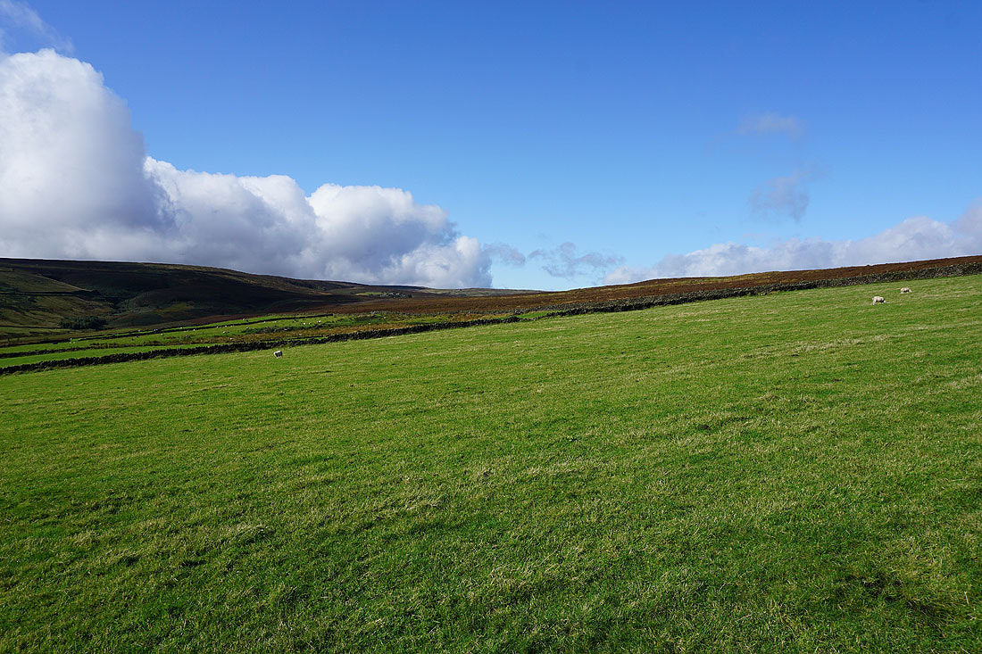
Blue skies over Haworth Moor..
..and Stairs Hill
By Leeshaw Reservoir
Leeshaw Reservoir as I head up Bodkin Lane
Leeshaw Reservoir and Penistone Hill..
..from the Calder/Aire Link path east to..
..Lowerfold Farm
Following the Calder/Aire Link path across Rag Clough..
Looking across Rag Clough to Leeshaw Reservoir and Haworth Moor
The moorland hillside of Stones from Hard Naze Lane
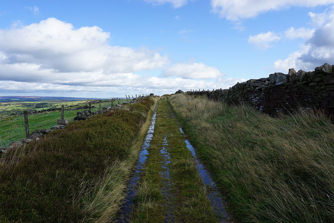
On the track of Intake Lane after crossing Hebden Bridge Road
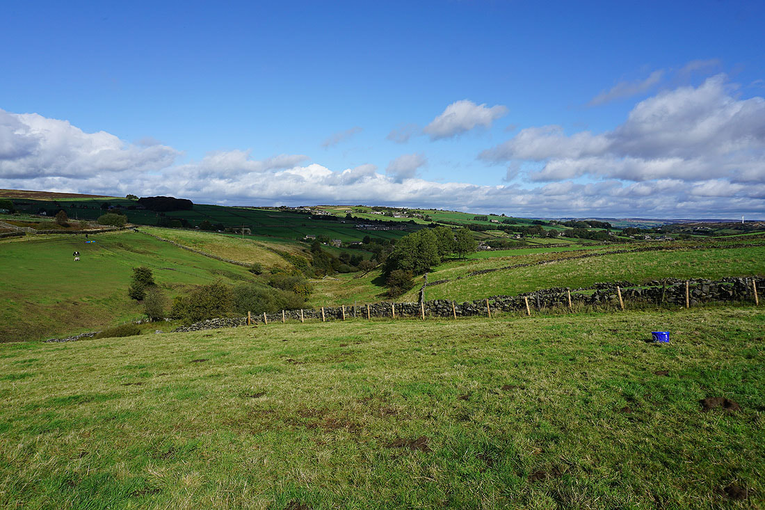
Stairs Hill, Stanbury Moor, Oakworth Moor and Leeshaw Reservoir
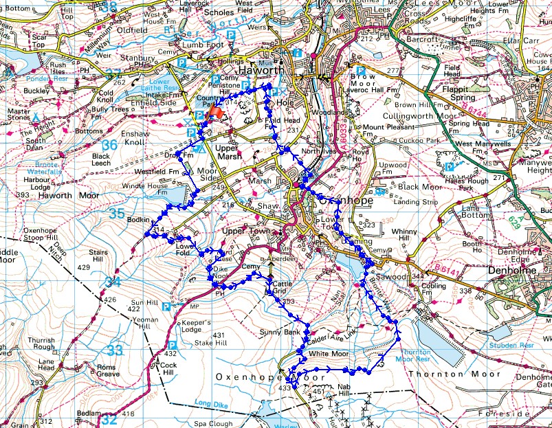
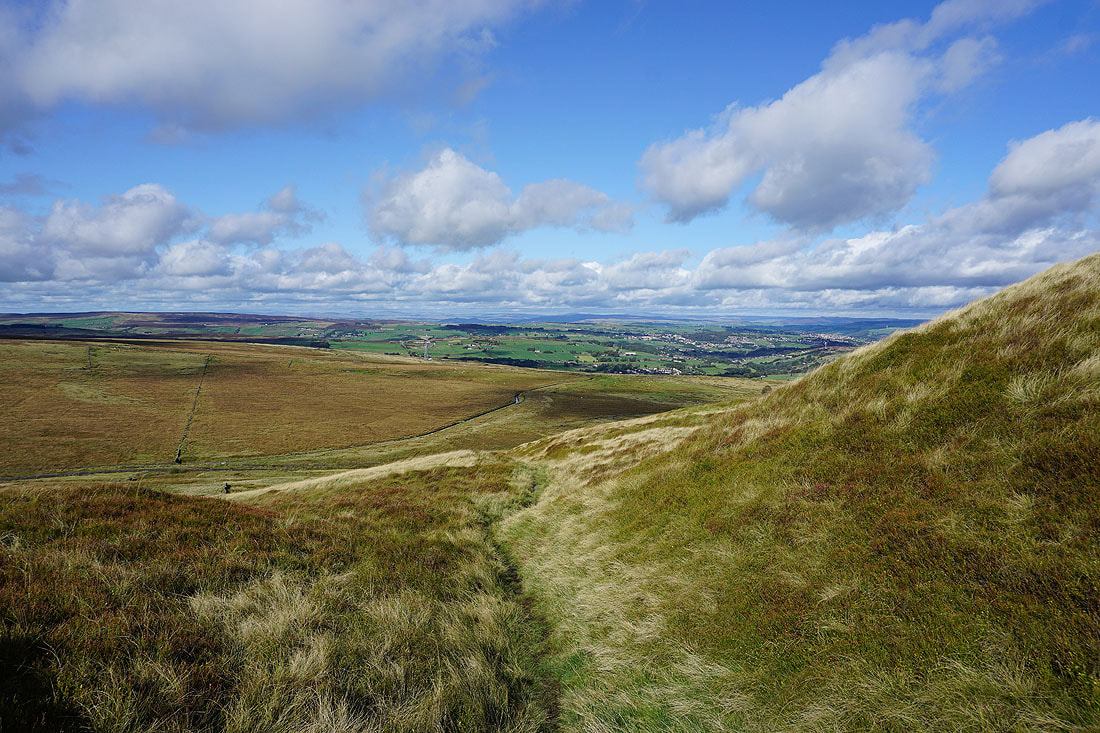
Fantastic views across the moors around Haworth and Oxenhope from Intake Lane...
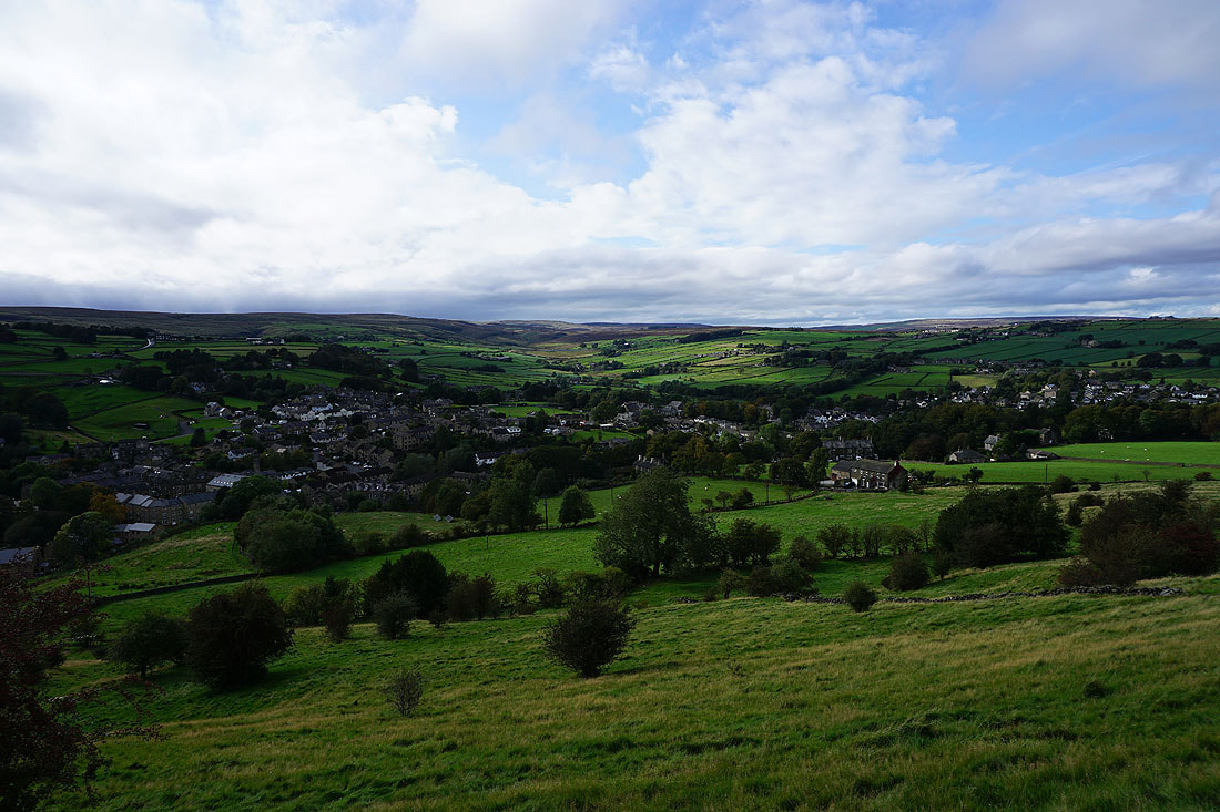
Haworth and Oxenhope..
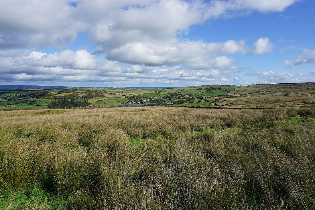
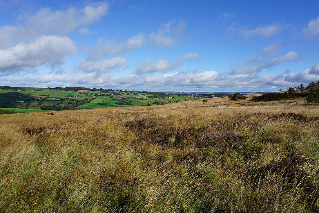
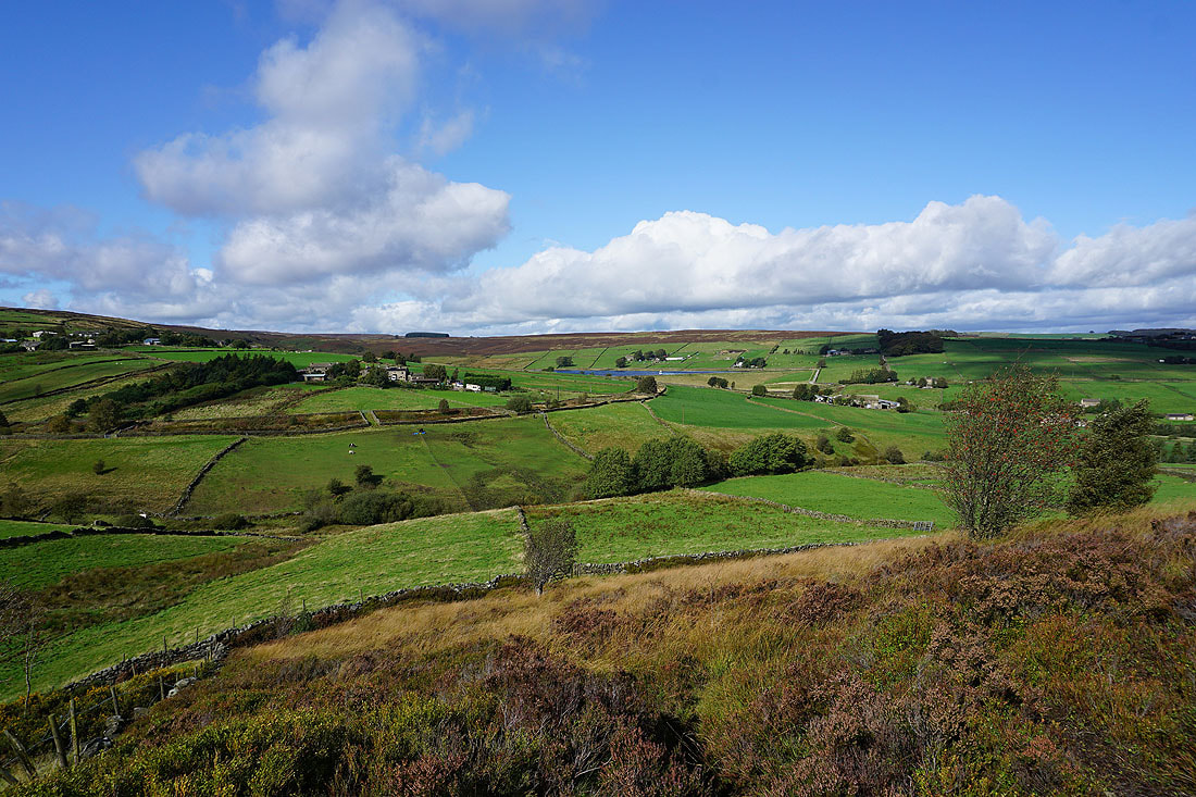
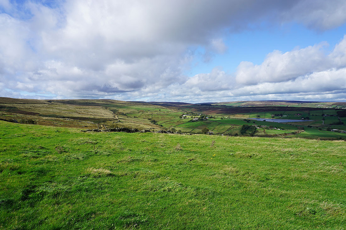
..and Leeming and Leeming Reservoir as I follow the path across the hillside from Intake Lane to Nab Water Lane
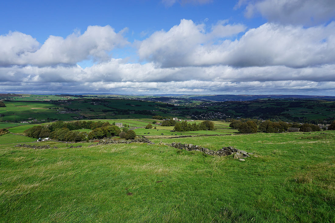
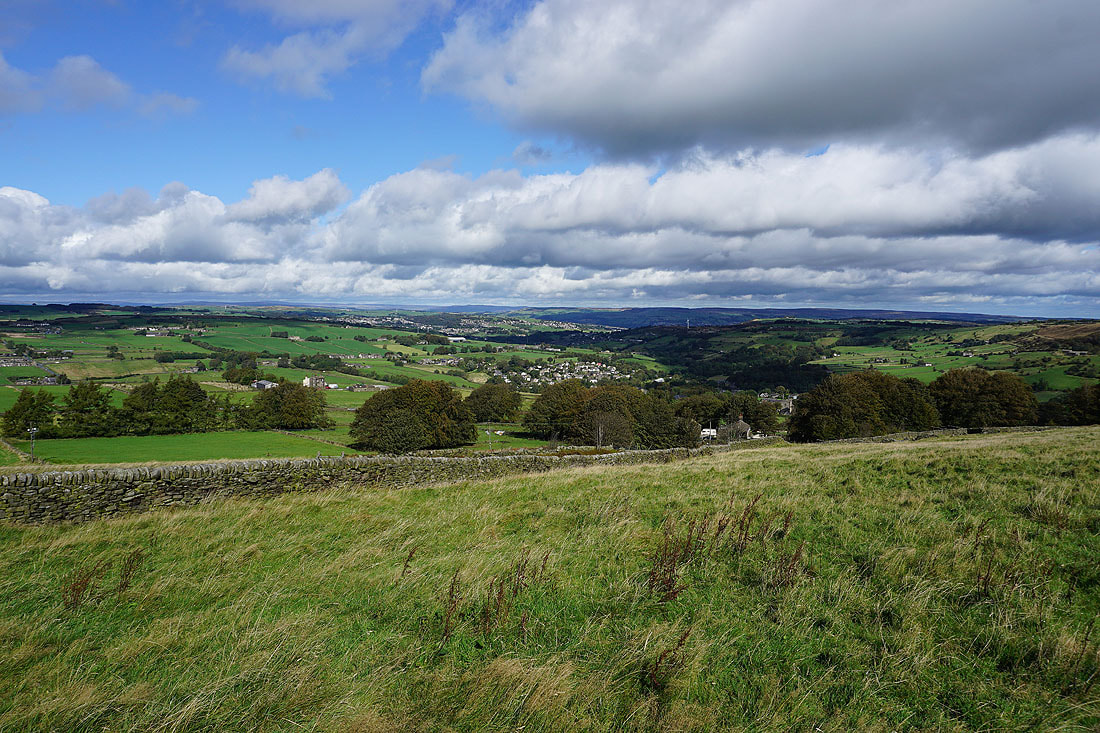
Haworth and Oxenhope with the moors around Airedale in the distance
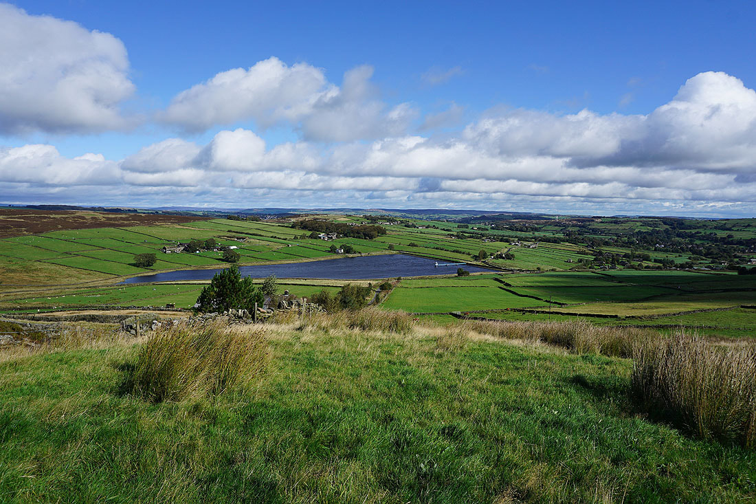
As I head up onto Nab Hill from Nab Water Lane the hills of the Yorkshire Dales come into view in the distance
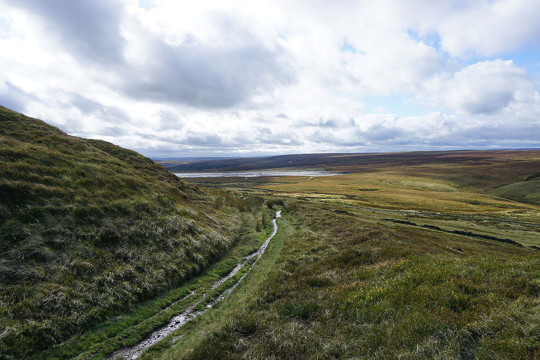
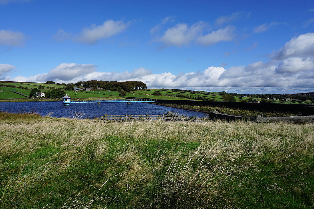
Warley Moor Reservoir seems to be being drained. There's certainly been enough rain recently to keep it full.
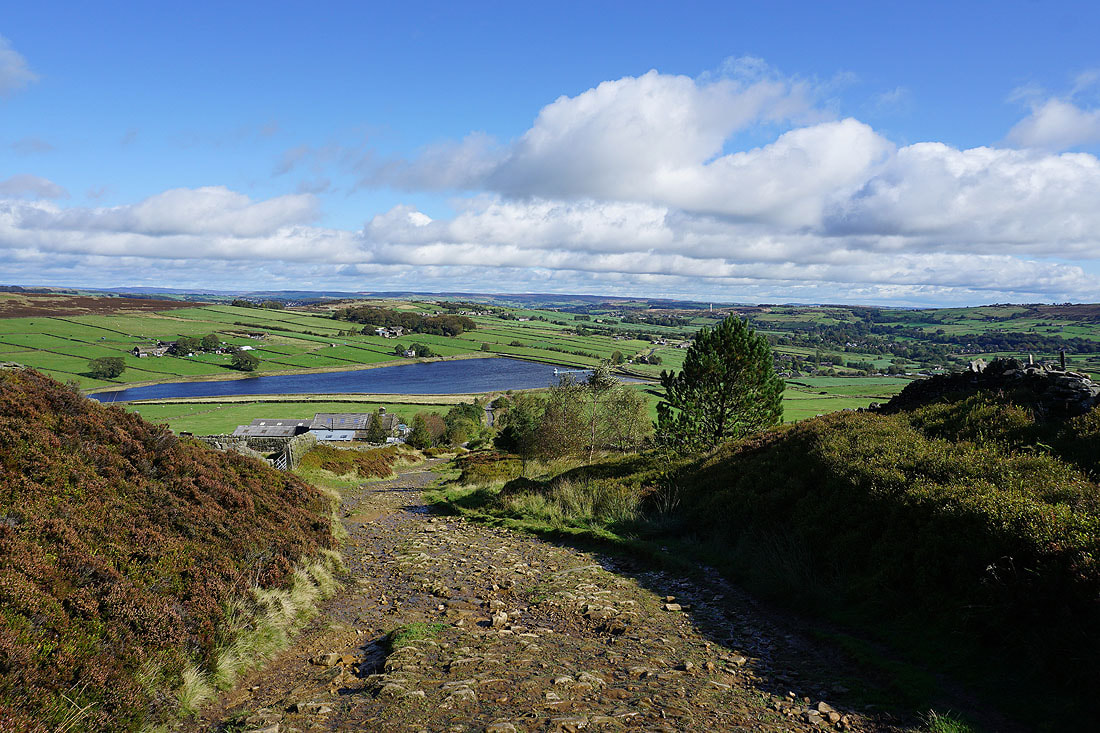
Approaching the northern edge of Nab Hill
and I'm treated to a fantastic view north across Bronte Country to the distant moors around Wharfedale
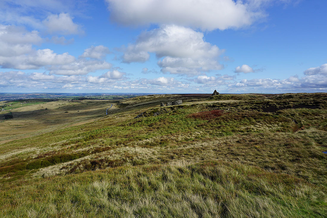
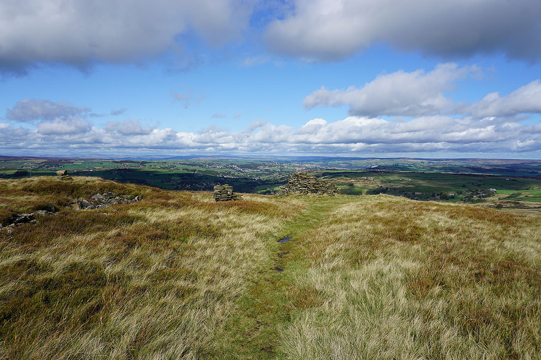
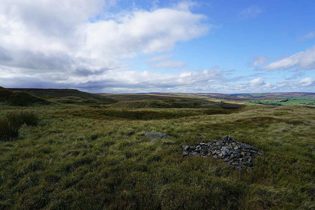
There are quite a few cairns up here
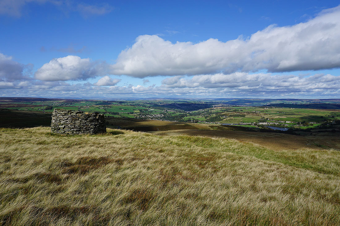
This is definitely the best place to take in the moors of Bronte Country..
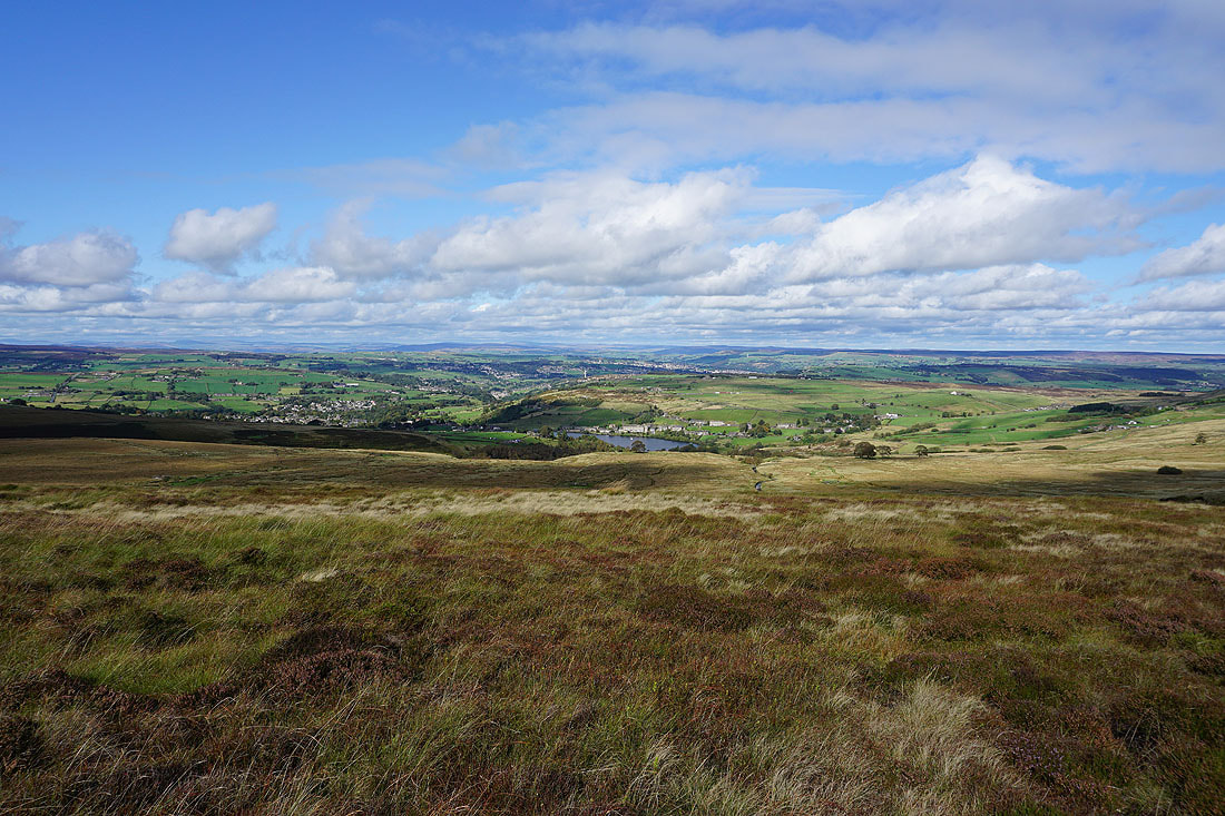
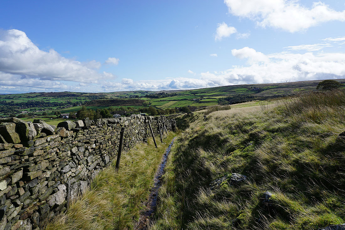
There seem to be cloudier skies on the way as I look west along the edge of Nab Hill
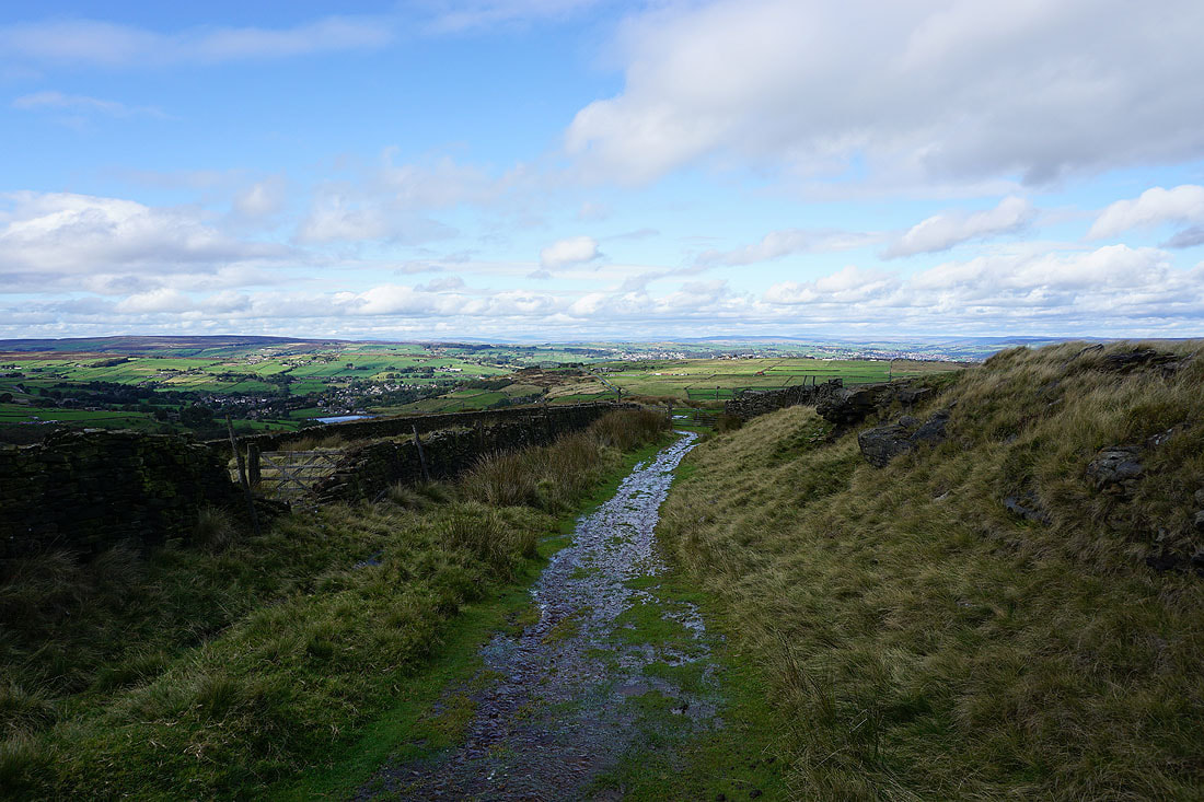
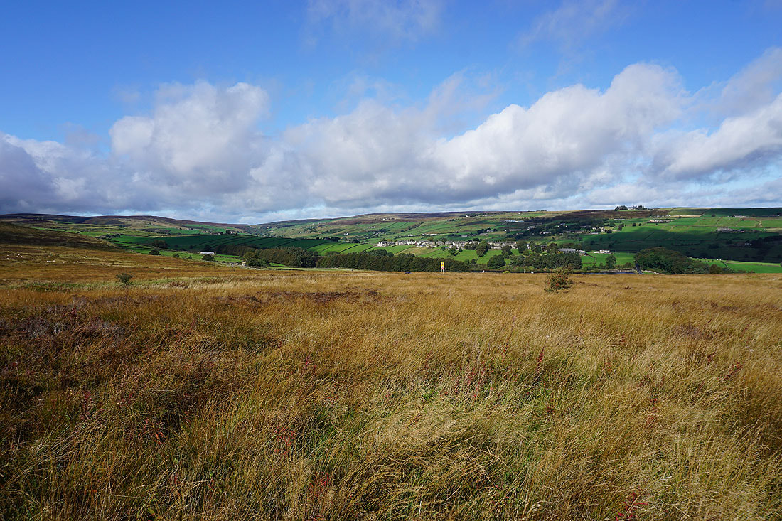
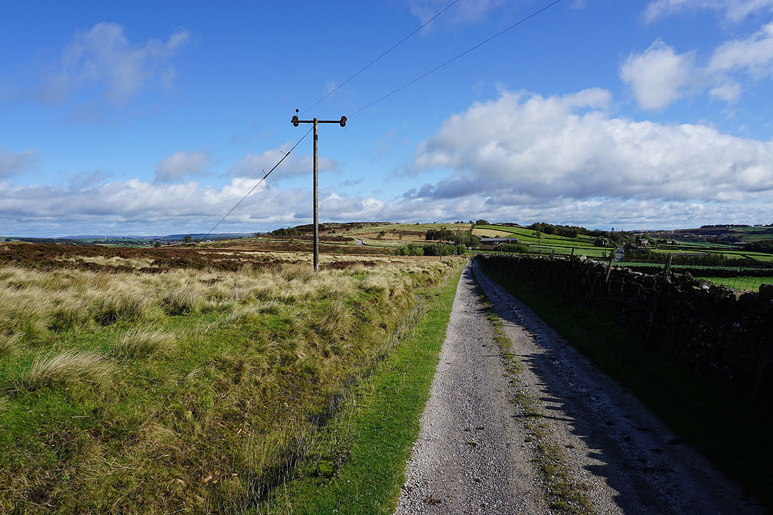
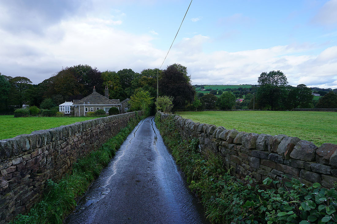
Heading down Hambleton Lane
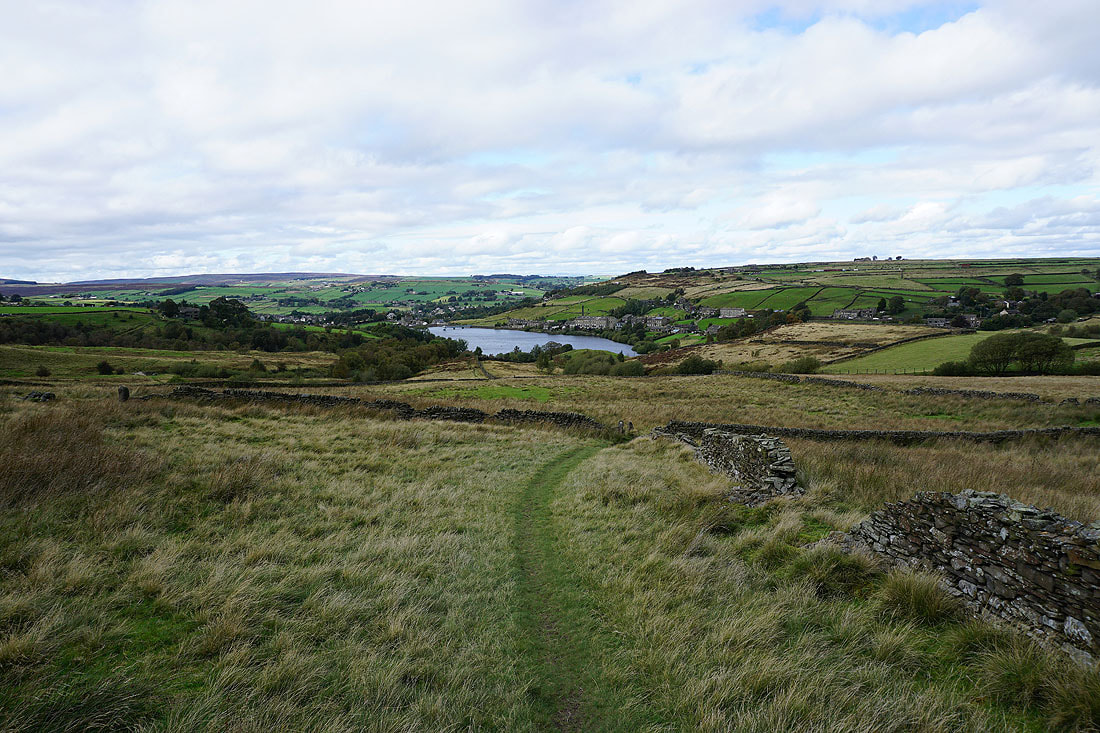
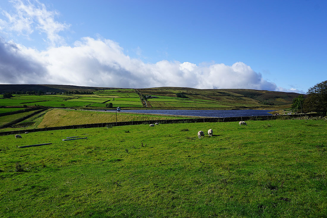
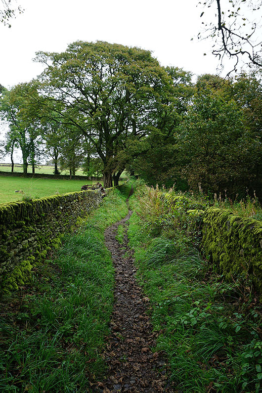
and on the Bronte Way down to Leeming Reservoir
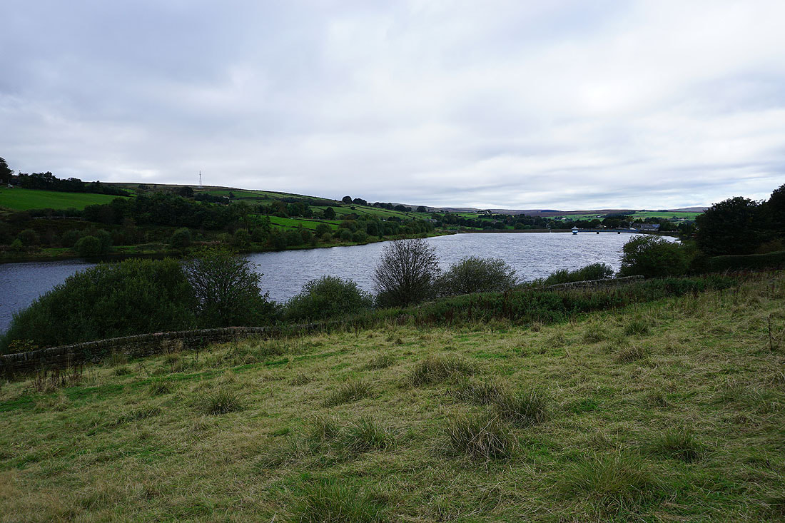
Leeming Reservoir
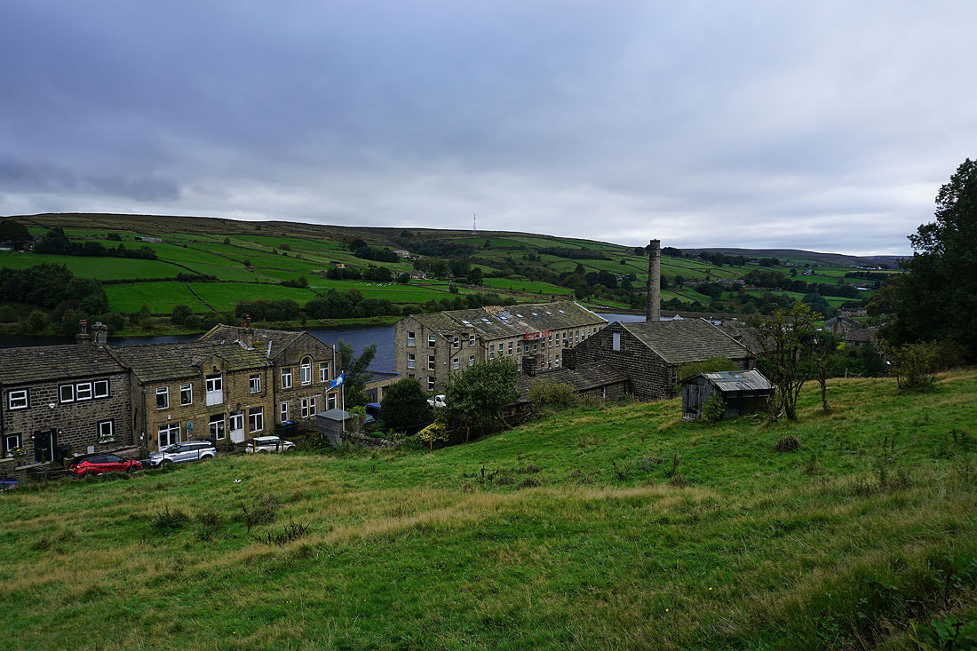
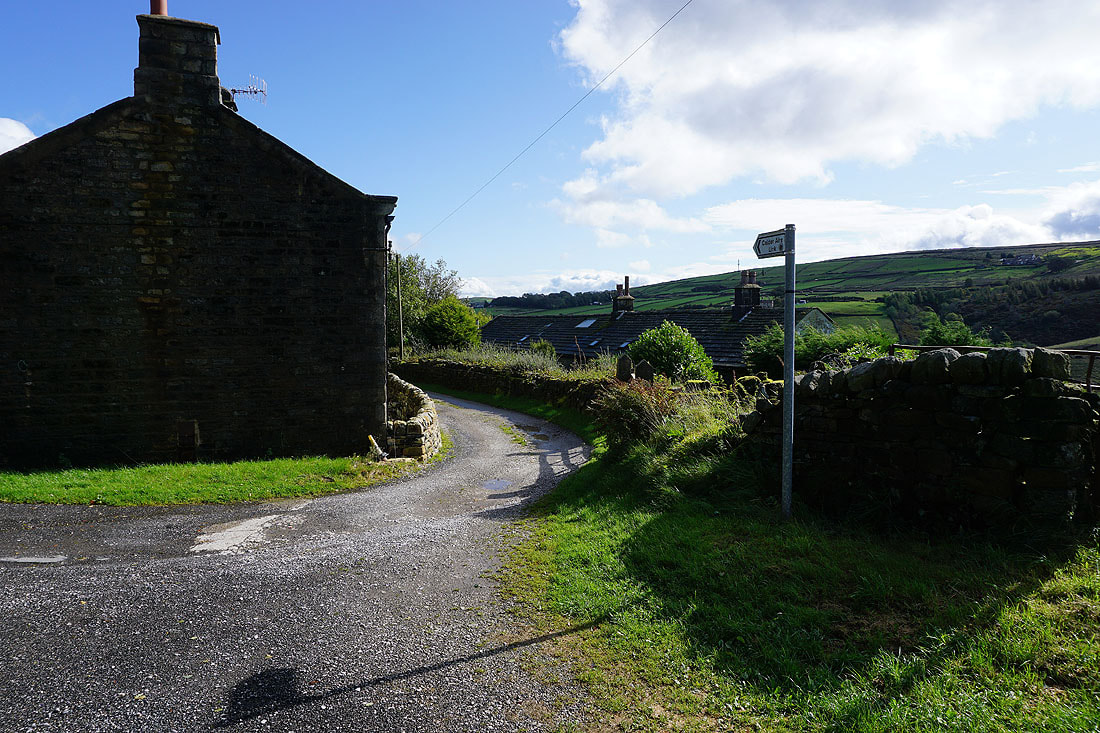
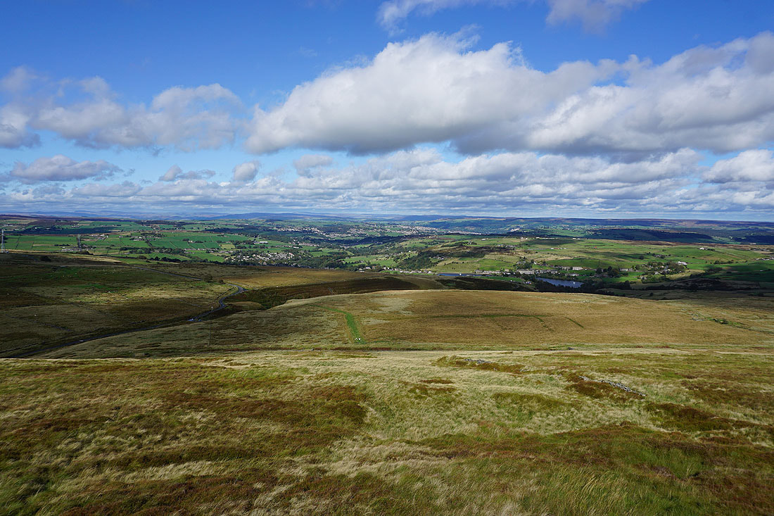
Above Leeming
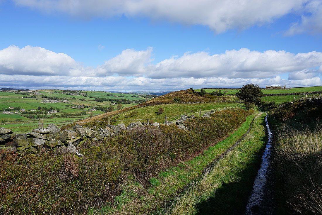
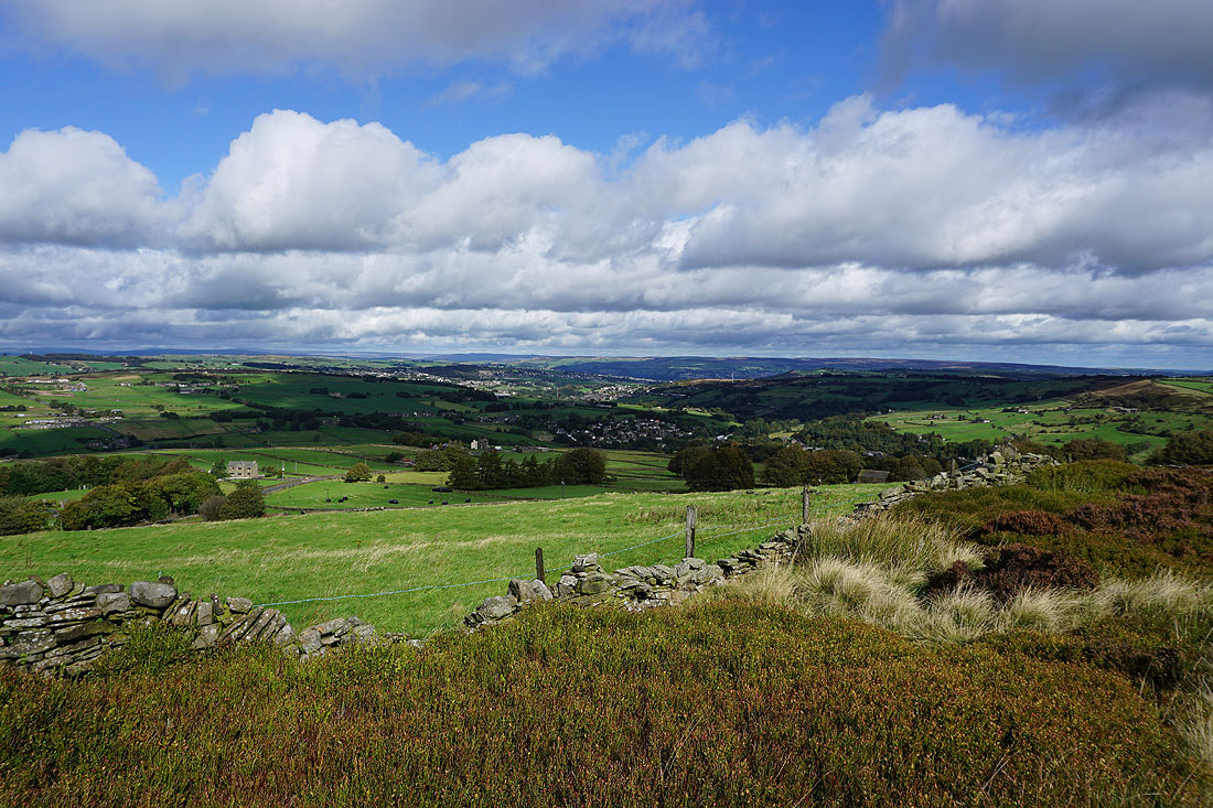
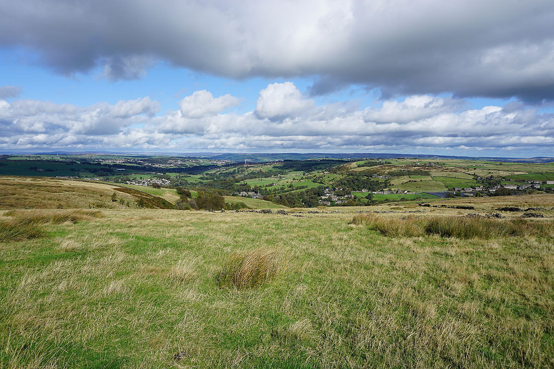
Brighter skies for the moment as I pass above Oxenhope
Heading down Dark Lane
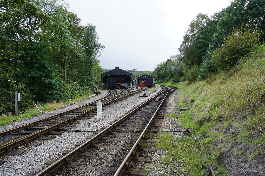
The end of the line for the Keighley and Worth Valley Railway at Oxenhope
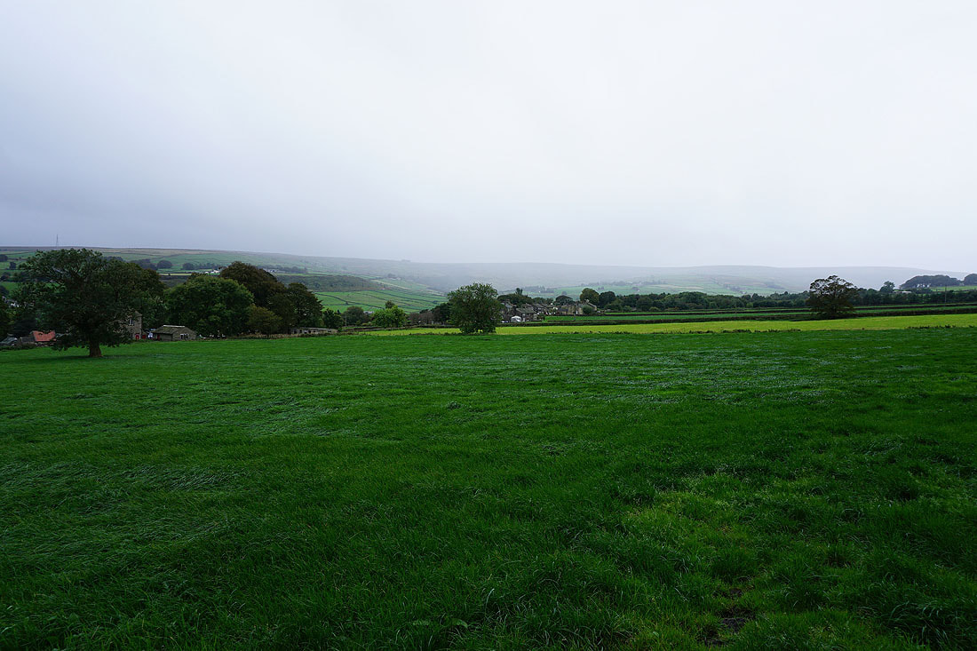
The weather is definitely taking a turn for the worse as I look across to the moors on the other side of Oxenhope
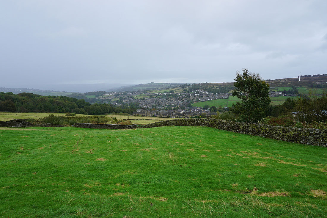
Grey skies above Haworth
|
|
Following the Bronte Way along the side of Penistone Hill..
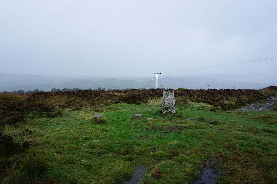
The trig point on the top of Penistone Hill. I'm not hanging around up here with heavy drizzle falling and a strong wind blowing. Fortunately the car park is just round the corner.