29th April 2011 - Hoof Stones Height
Walk Details
Distance walked: 7.4 miles
Total ascent: 1269 ft
OS map used: OL21 - South Pennines
Time taken: 3.5 hrs
Route description: Hurstwood-Cant Clough Reservoir-Hare Stones-Hoof Stones Height-Shedden Clough-Cant Clough Reservoir-Hurstwood
A walk from Hurstwood near Burnley to Hoof Stones Height.
Total ascent: 1269 ft
OS map used: OL21 - South Pennines
Time taken: 3.5 hrs
Route description: Hurstwood-Cant Clough Reservoir-Hare Stones-Hoof Stones Height-Shedden Clough-Cant Clough Reservoir-Hurstwood
A walk from Hurstwood near Burnley to Hoof Stones Height.
Route map
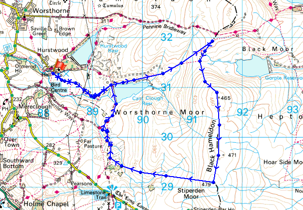
© Crown copyright. All rights reserved. License number PU 100034184.
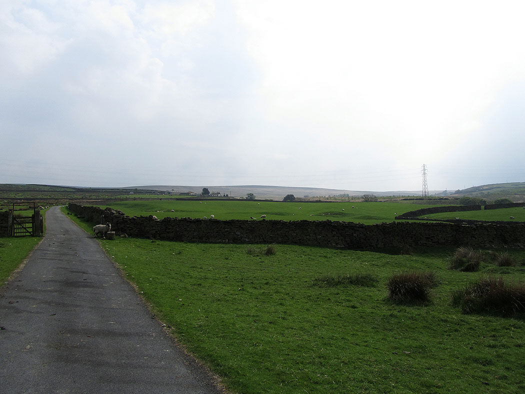
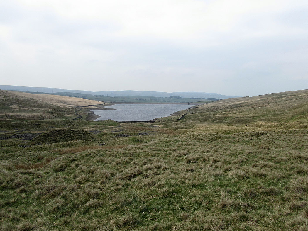
A late start today. After parking in Hurstwood I made my way up to Cant Clough Reservoir.
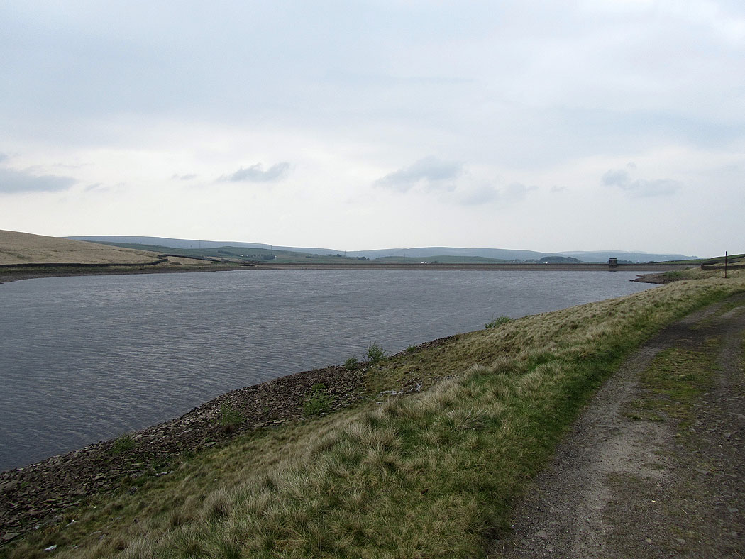
Cant Clough Reservoir
It seems a little on the low side
Looking back as I make my way uphill
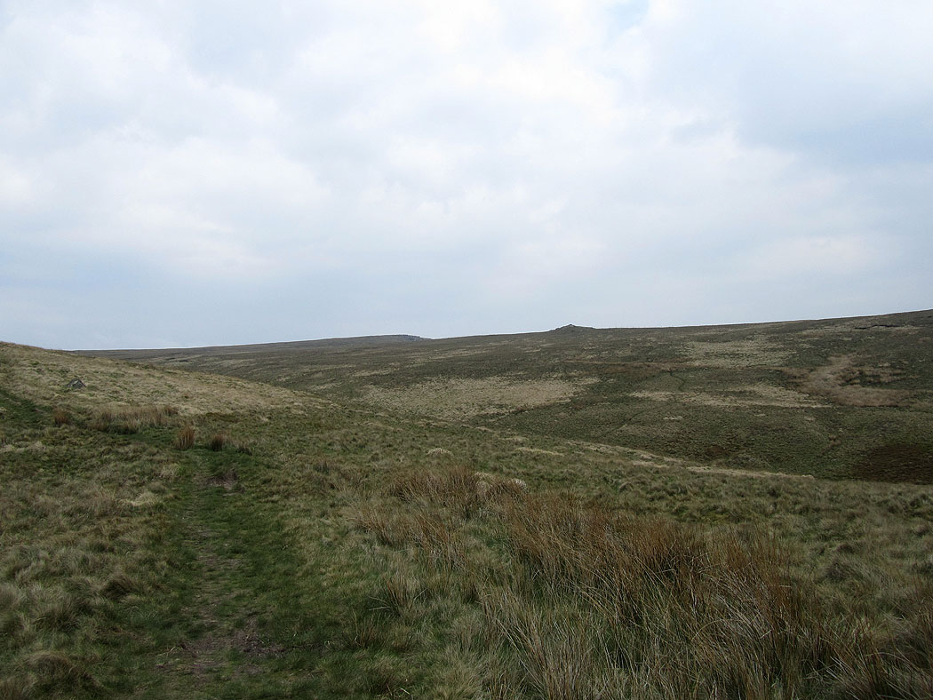
Heading for the outcrop of Hare Stones on the skyline
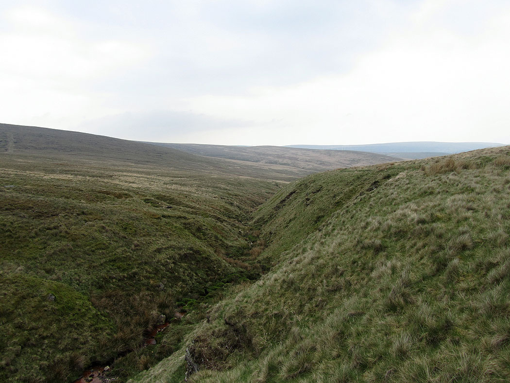
Rams Clough
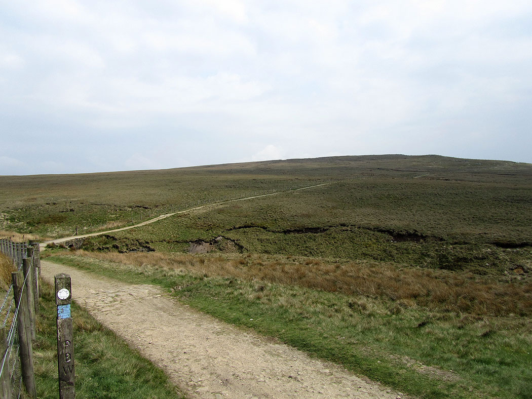
On the Pennine Bridleway
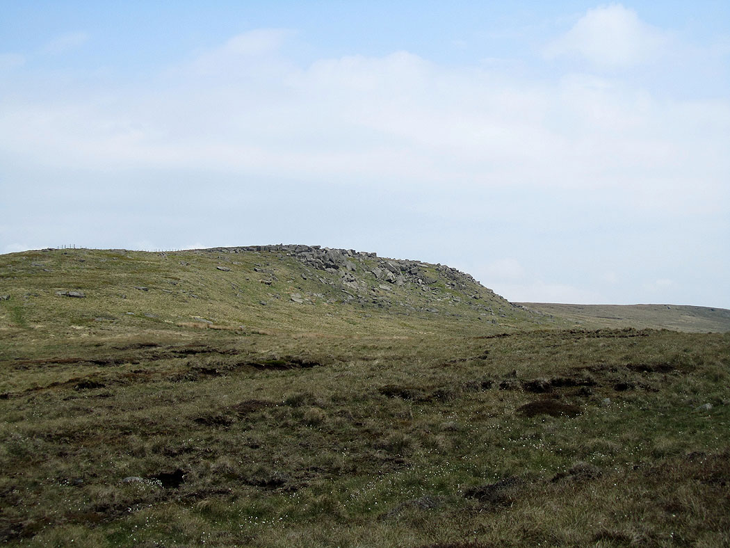
Hare Stones Hill
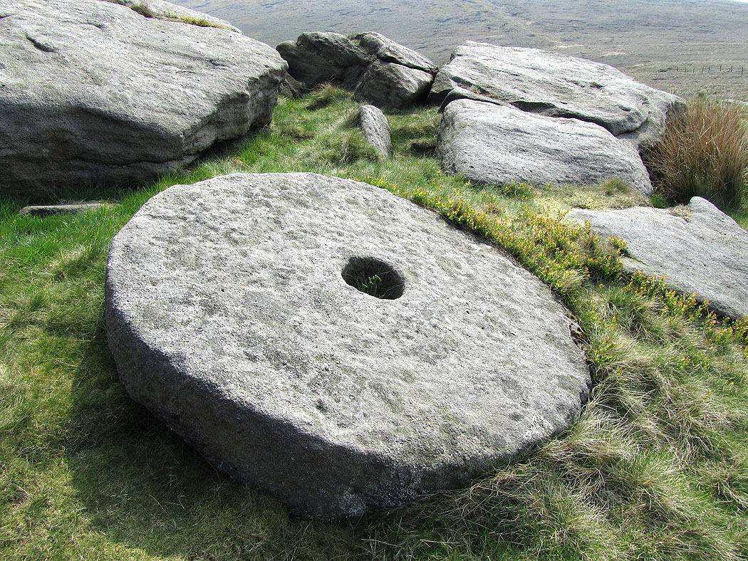
On Hare Stones. I found what looks like a discarded millstone amongst the rocks.
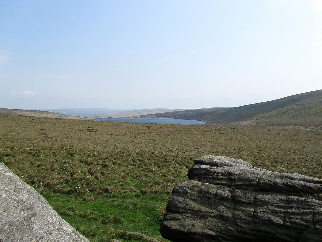
Cant Clough Reservoir from Hare Stones
Hare Stones Hill from Hare Stones
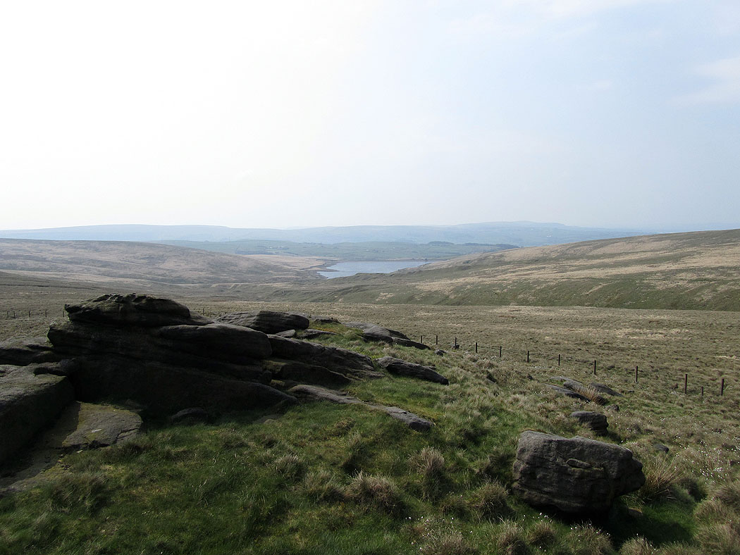
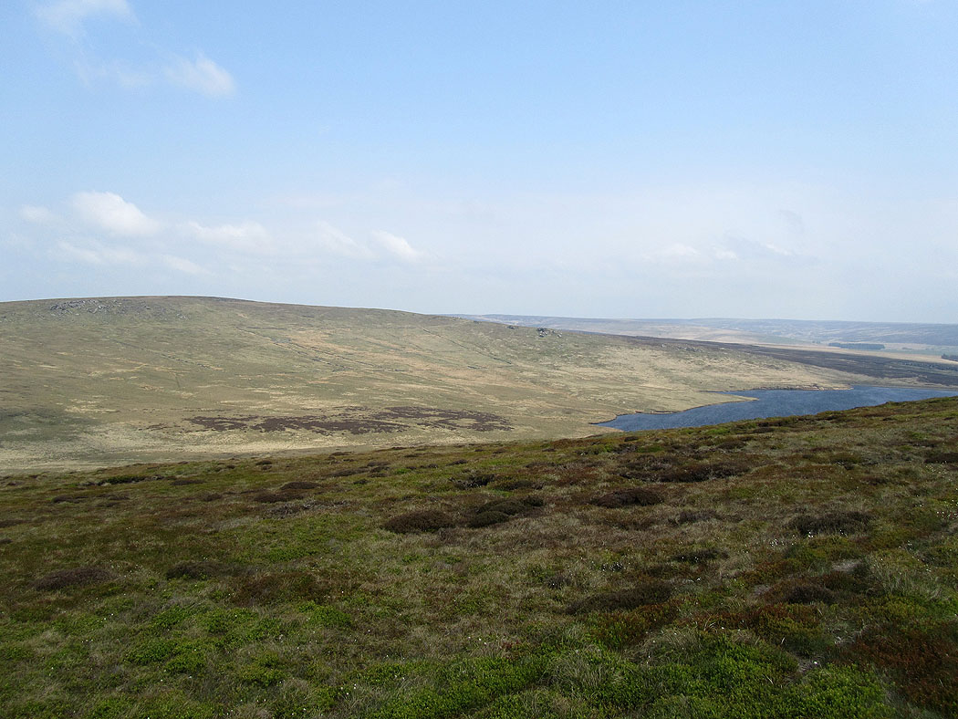
Gorple Upper Reservoir
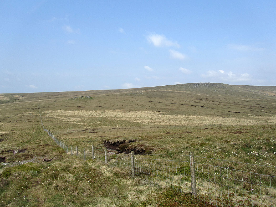
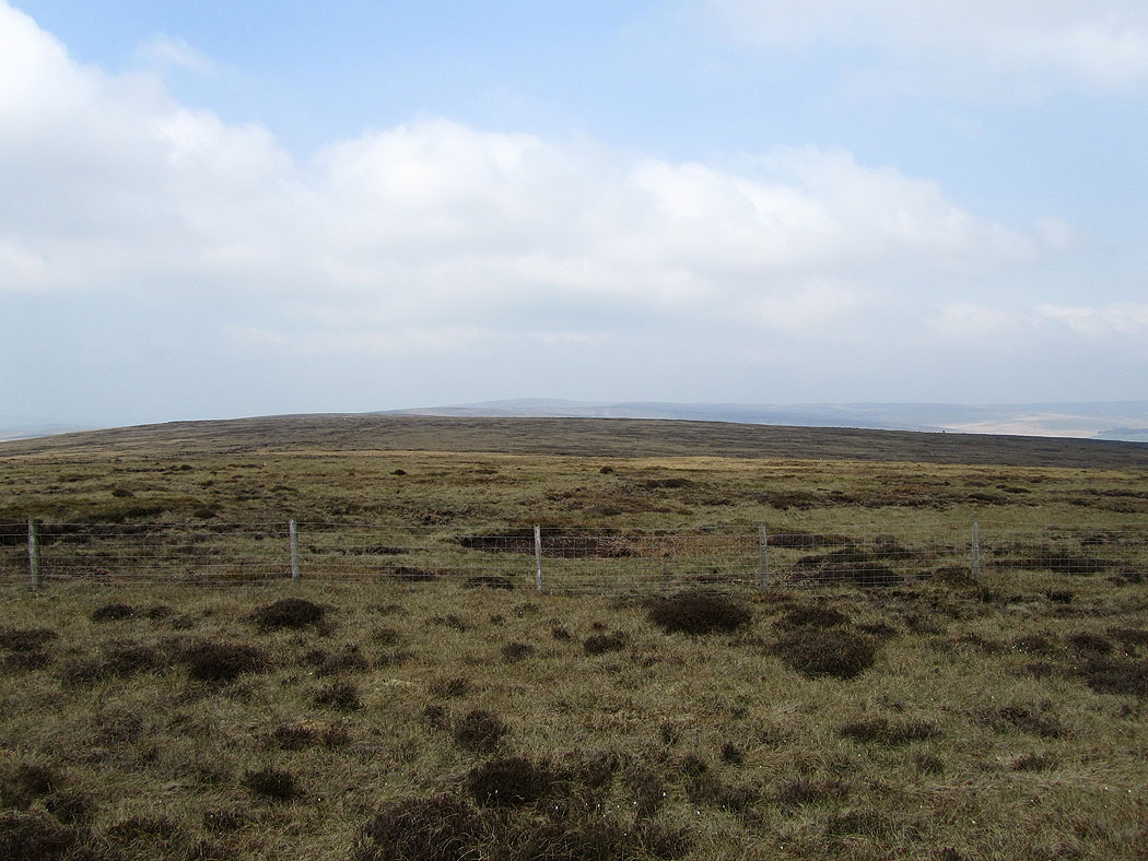
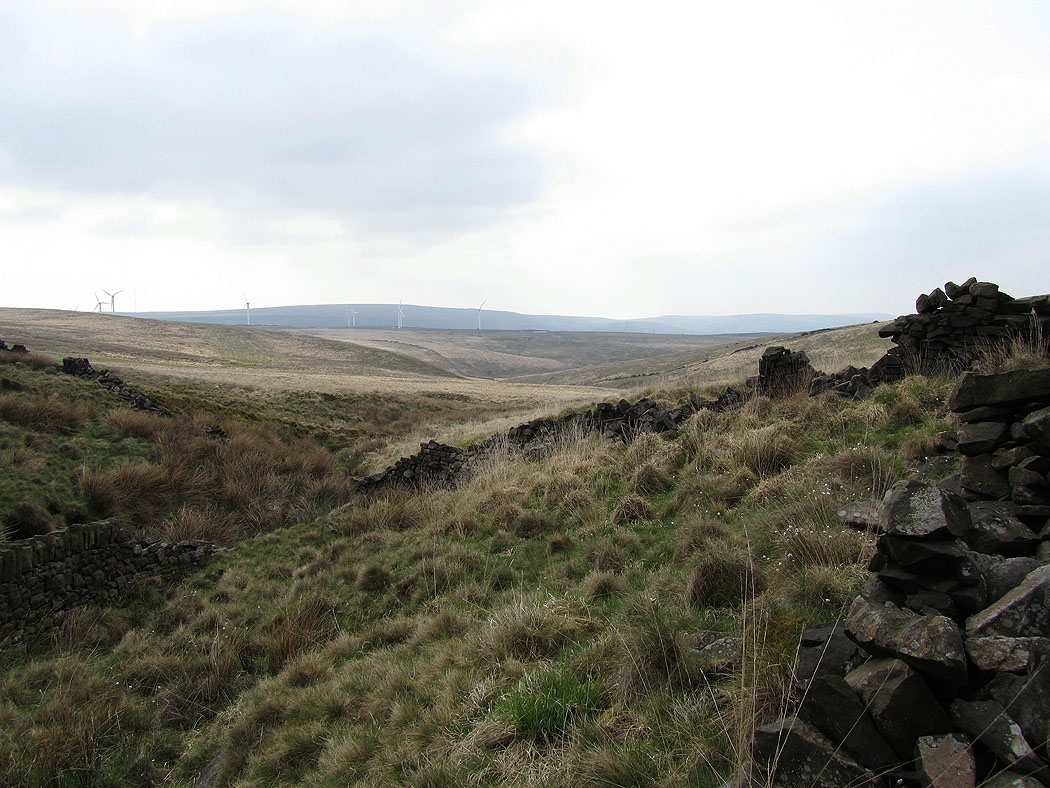
Looking back as I follow the fence south up to Hoof Stones Height. Hare Stones is the collection of rocks on the left.
Pendle in the distance through the haze
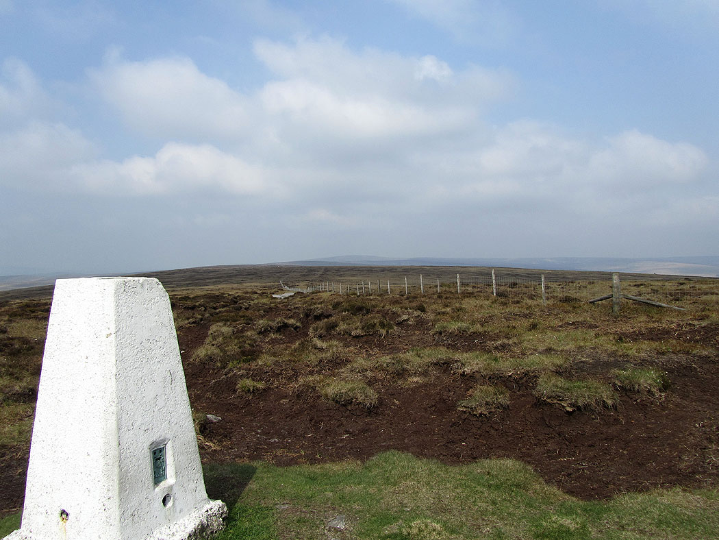
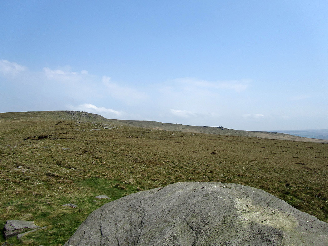
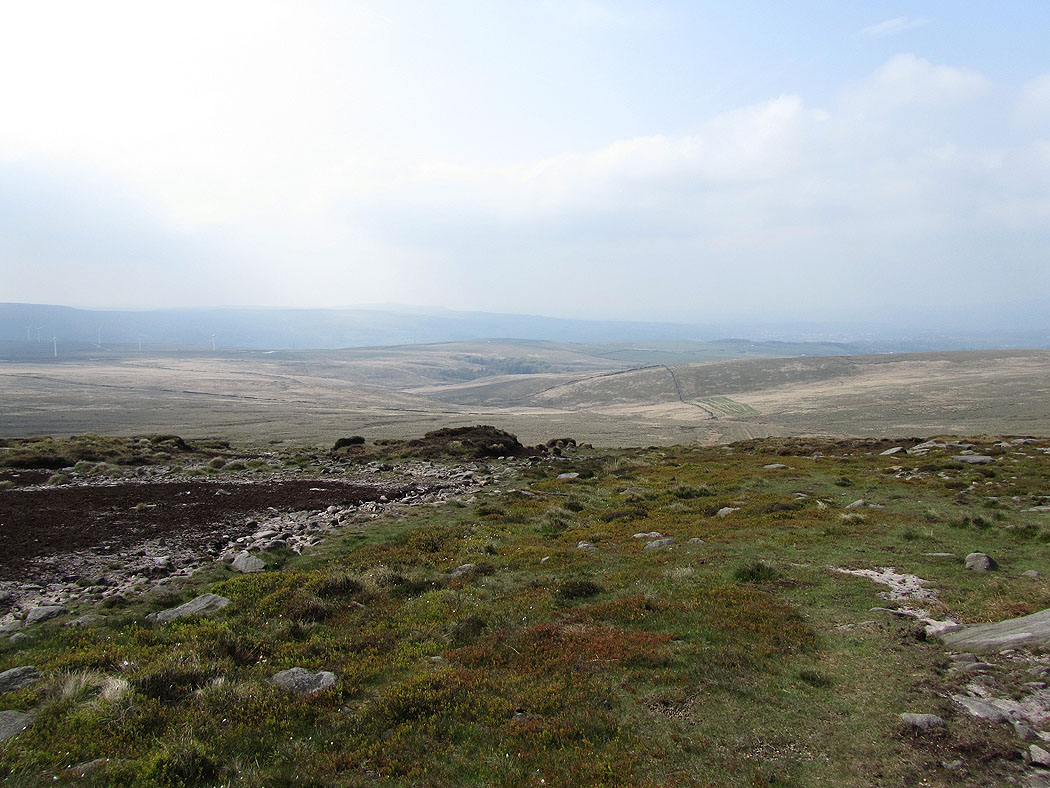
On Hoof Stones Height. The going underfoot across the top was very dry.
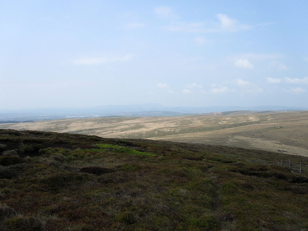
Views across the South Pennines from Hoof Stones Height.... Very hazy today. To the northeast is Boulsworth Hill.
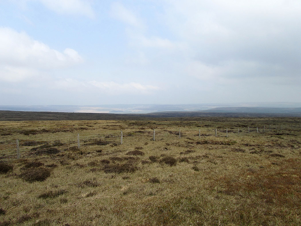
To the east are the moors around Calderdale
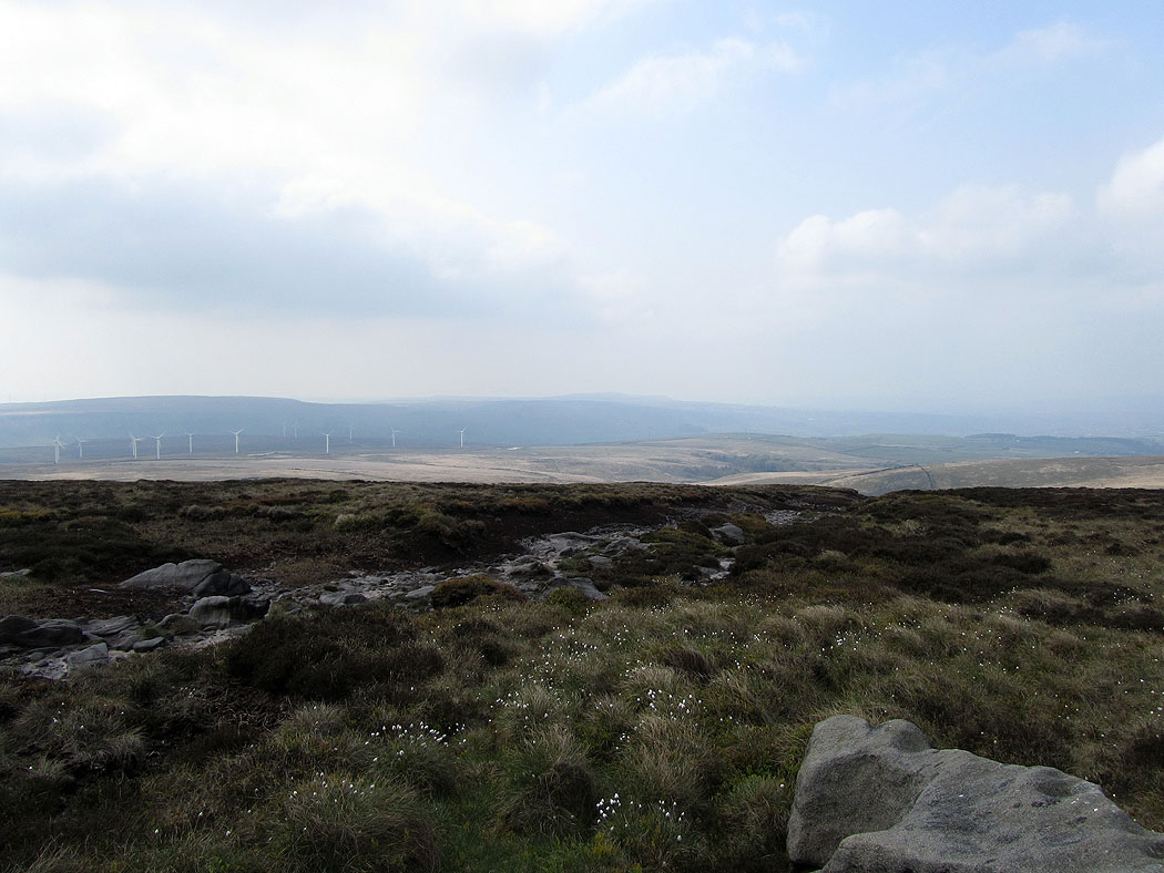
Looking across Cliviger to Thieveley Pike
Heading for Shedden Clough..
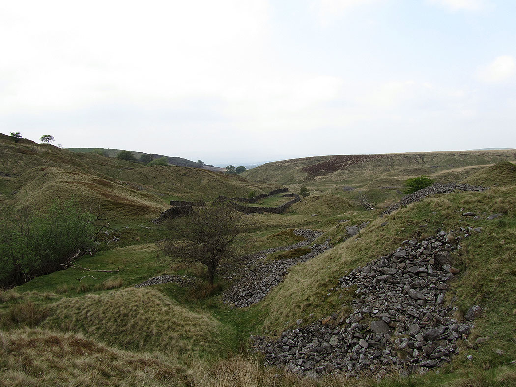
Shedden Clough Limestone Hushings as it's called on the OS map
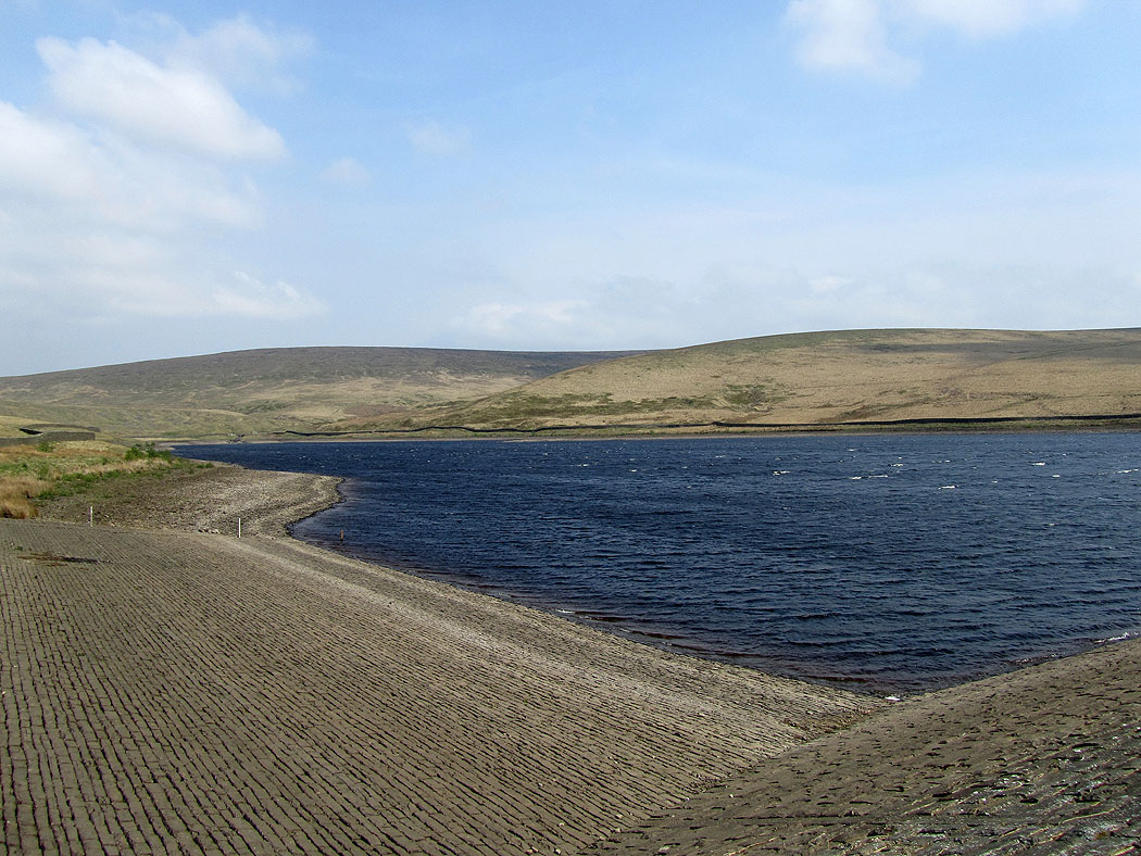
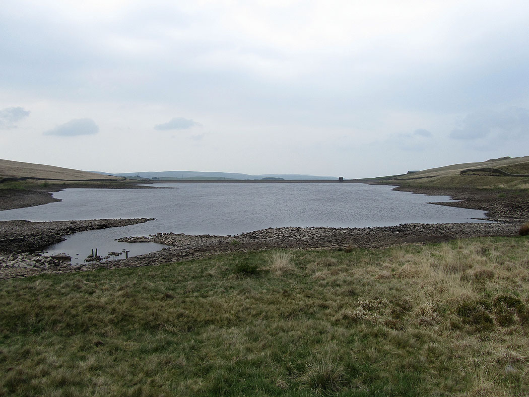
Back at Cant Clough Reservoir and the wind has really picked up