29th April 2017 - Pendle Hill
Walk Details
Distance walked: 8.0 miles
Total ascent: 1555 ft
OS map used: OL41 - Forest of Bowland & Ribblesdale
Time taken: 4 hrs
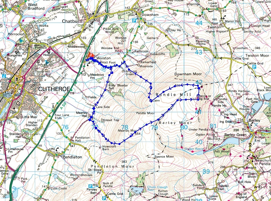
Route description: Worston-Little Mearley Hall-Mearley Hall-Mearley Moor-Ogden Clough-Pendle Hill-Downham Moor-Worston Moor-Scout Cairn-Burst Clough-Worston
It's been exactly three months since my last walk up Pendle Hill so I thought that another visit was due. I decided to start from Worston in the Ribble Valley today, my last ascent from here was in June last year. The weather was almost exactly the same as yesterday with morning sunshine disappearing as the cloud filled in to leave a rather grey afternoon.
After parking in Worston I walked through the village and up the road towards Pendle Hill. When the road forked I took the right hand one with a signpost for Little Mearley Hall. The road becomes a bridleway and I followed it southwest past Little Mearley Hall and Lane Side to reach Mearley Hall. Just past here I took the footpath on the left that heads for Howcroft Barn and Ashendean Clough. Once onto access land though I left it for an ascent of Mearley Moor, there are trods through the grass and bracken, to arrive at the cairn at the top of the moor. I then crossed the top of Mearley Moor into Ogden Clough to pick up the path up the clough that heads for the trig point and summit. After having lunch I made my way north to the stile over the wall onto Downham Moor and then west across the moor to another stile which I crossed onto Worston Moor. I soon reached the Scout Cairn which was my cue to head down. A path traverses the side of the hill and down by Burst Clough to reach the road end by Angram Green. I then followed the road back to Worston.
Route map
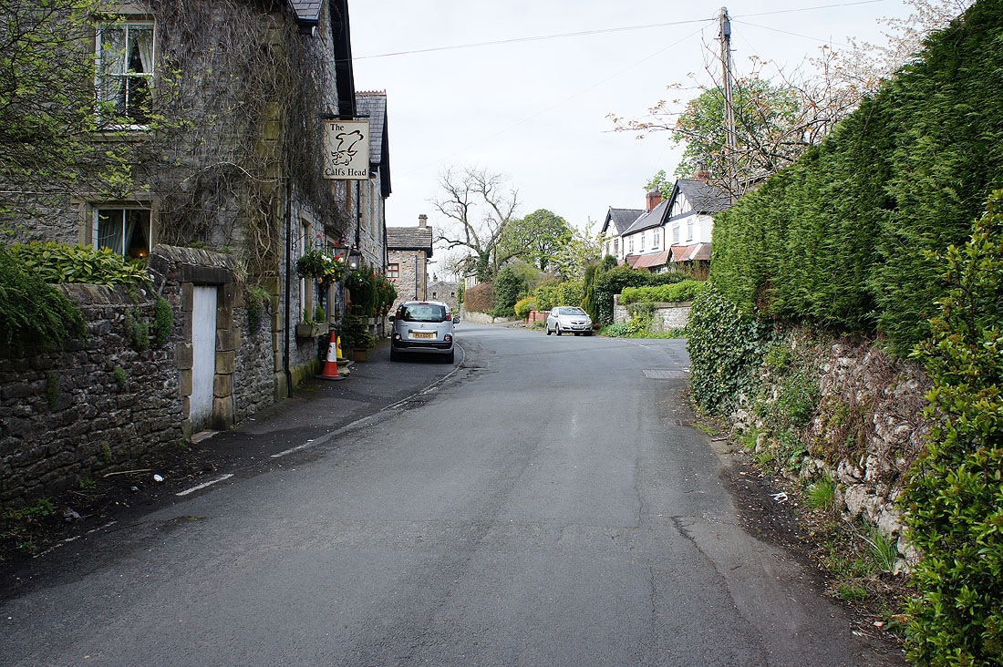
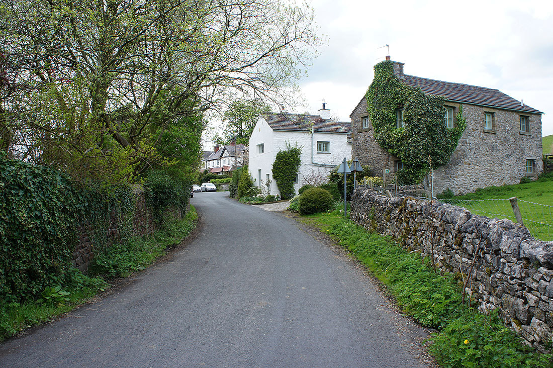
Setting off from the village of Worston
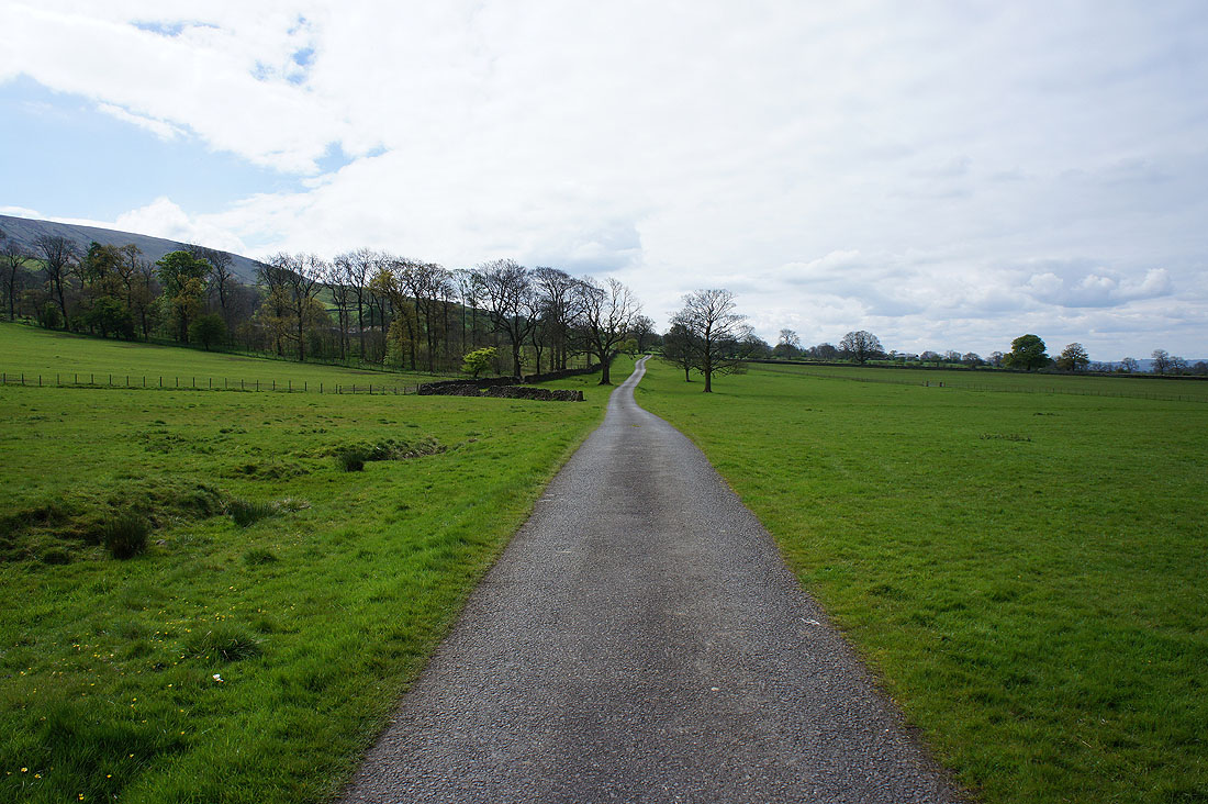
On the bridleway to Little Mearley Hall
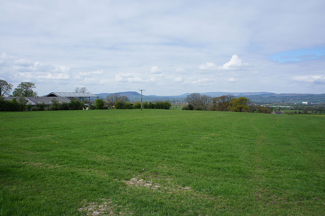
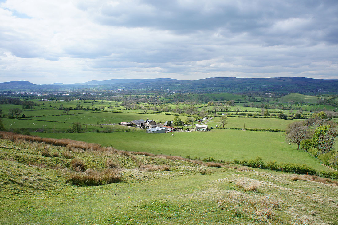
Pendle farmland with Longridge Fell, Parlick, Fair Snape Fell and Totridge in the distance
Clitheroe can now be seen in the Ribble Valley as I make my way up Mearley Moor
Longridge Fell, Parlick, Fair Snape Fell and Totridge from the cairn on Mearley Moor
The Ribble Valley below
and the West Pennine Moors in the distance
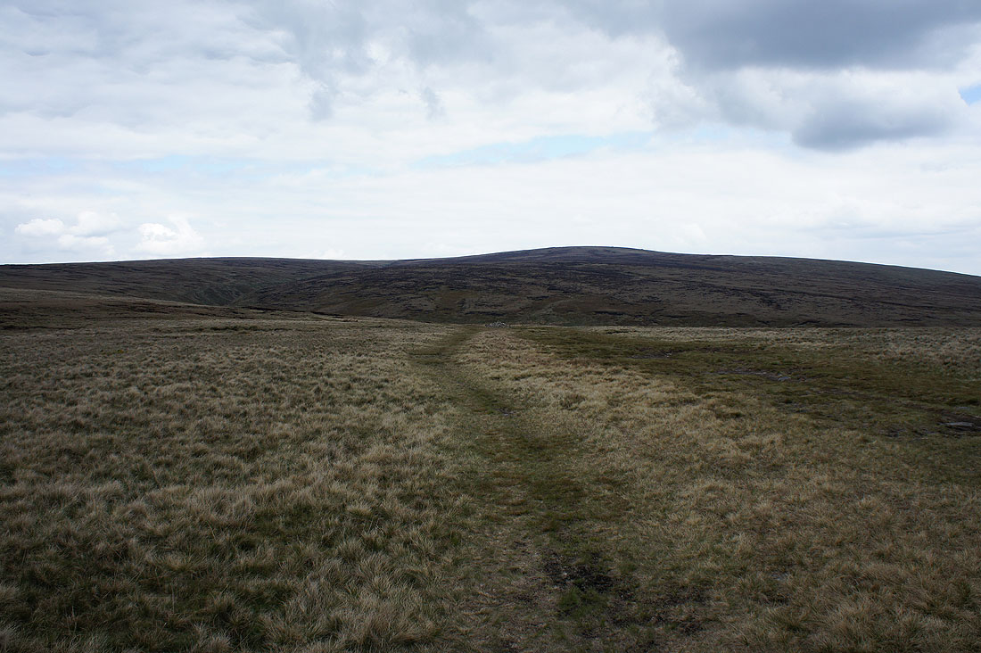
The summit of Pendle Hill is in sight as I head for Ogden Clough
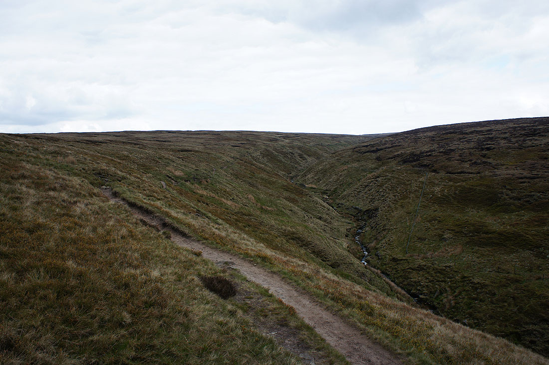
On the path up Ogden Clough
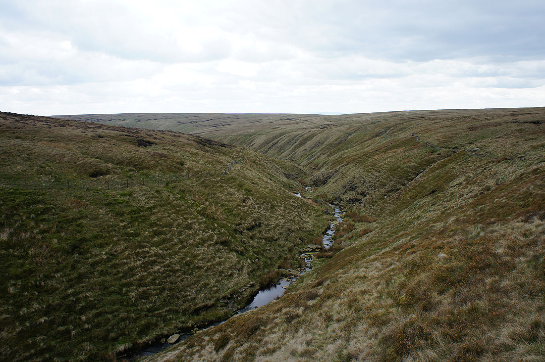
Looking back down Ogden Clough
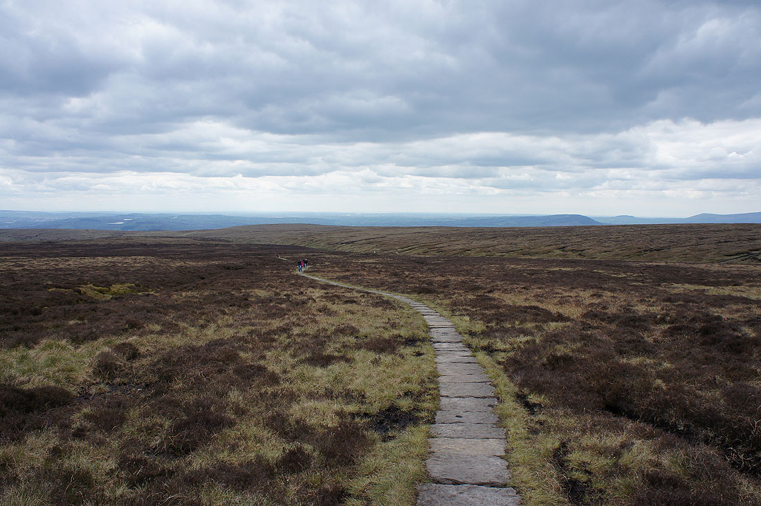
Looking back from the flagged path from Ogden Clough to the trig point
The fells of the Forest of Bowland in the distance beyond Downham Moor
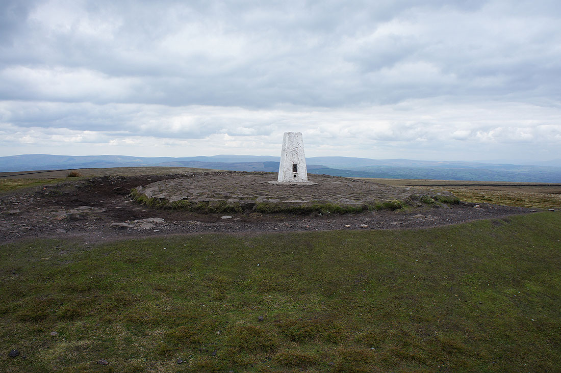
A photo of the trig point as it was briefly unoccupied
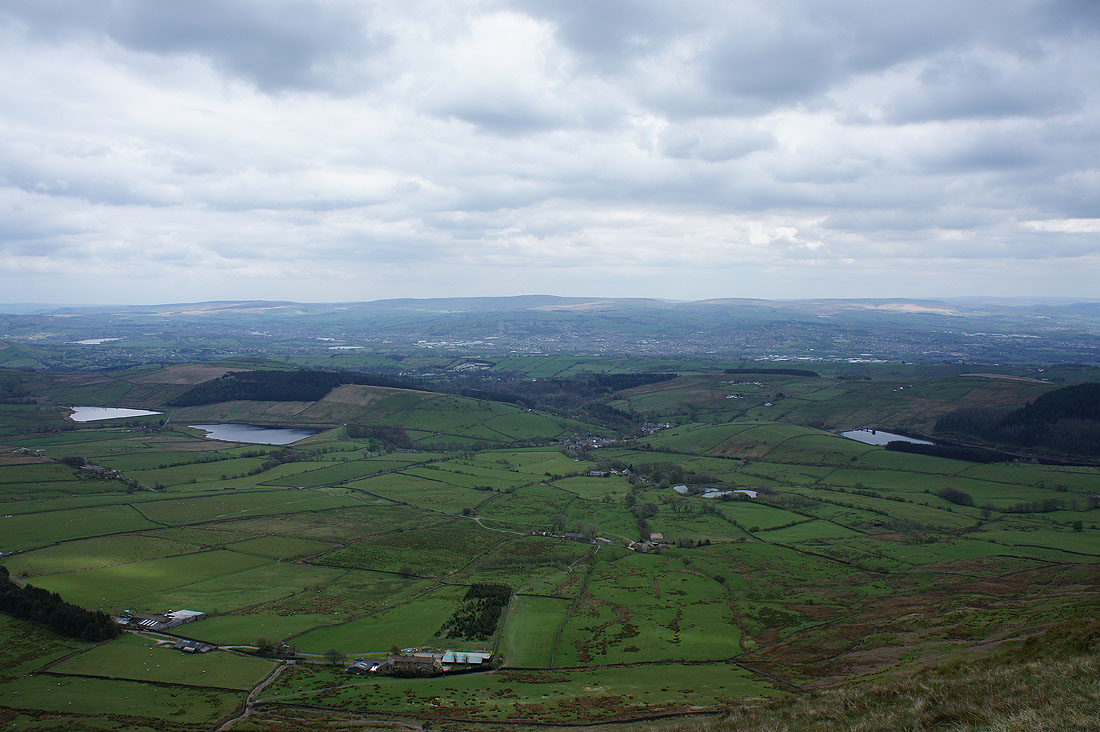
The Black Moss Reservoirs, Barley and Lower Ogden Reservoir with Colne, Nelson and Boulsworth Hill in the distance
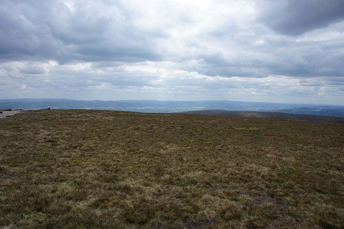
It's a little hazy but I can still make out the hills around Wharfedale
The West Pennine Moors in the distance
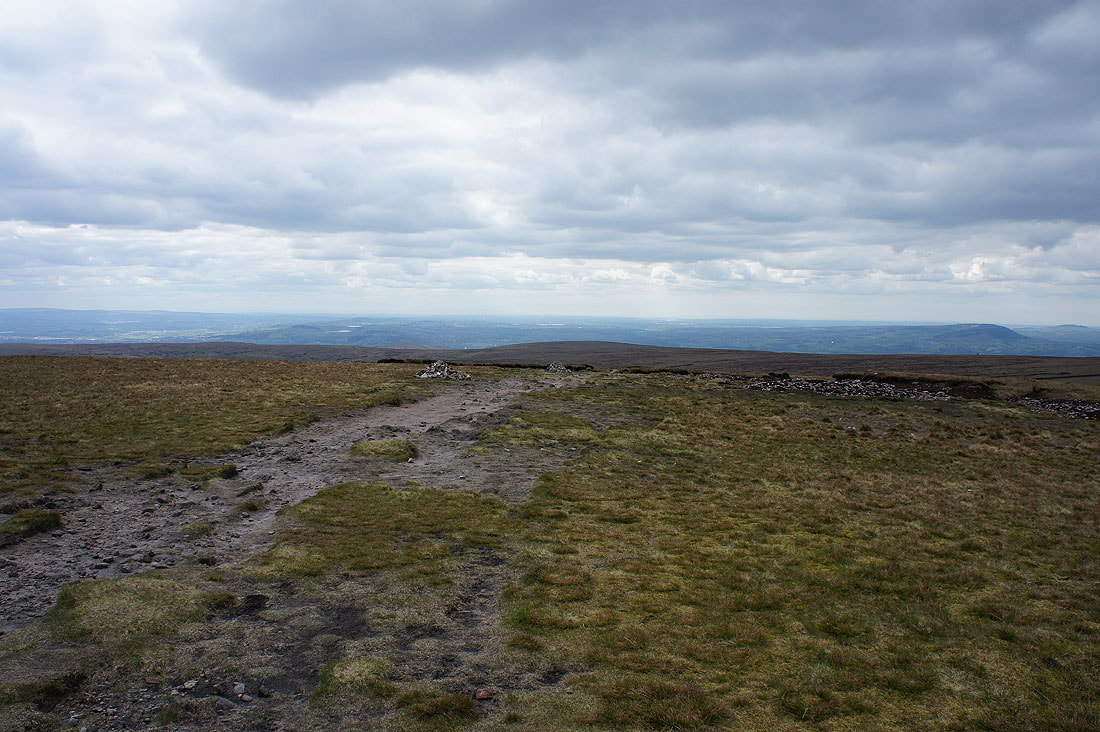
Cairns that mark the path to Ogden Clough with the Ribble Valley beyond
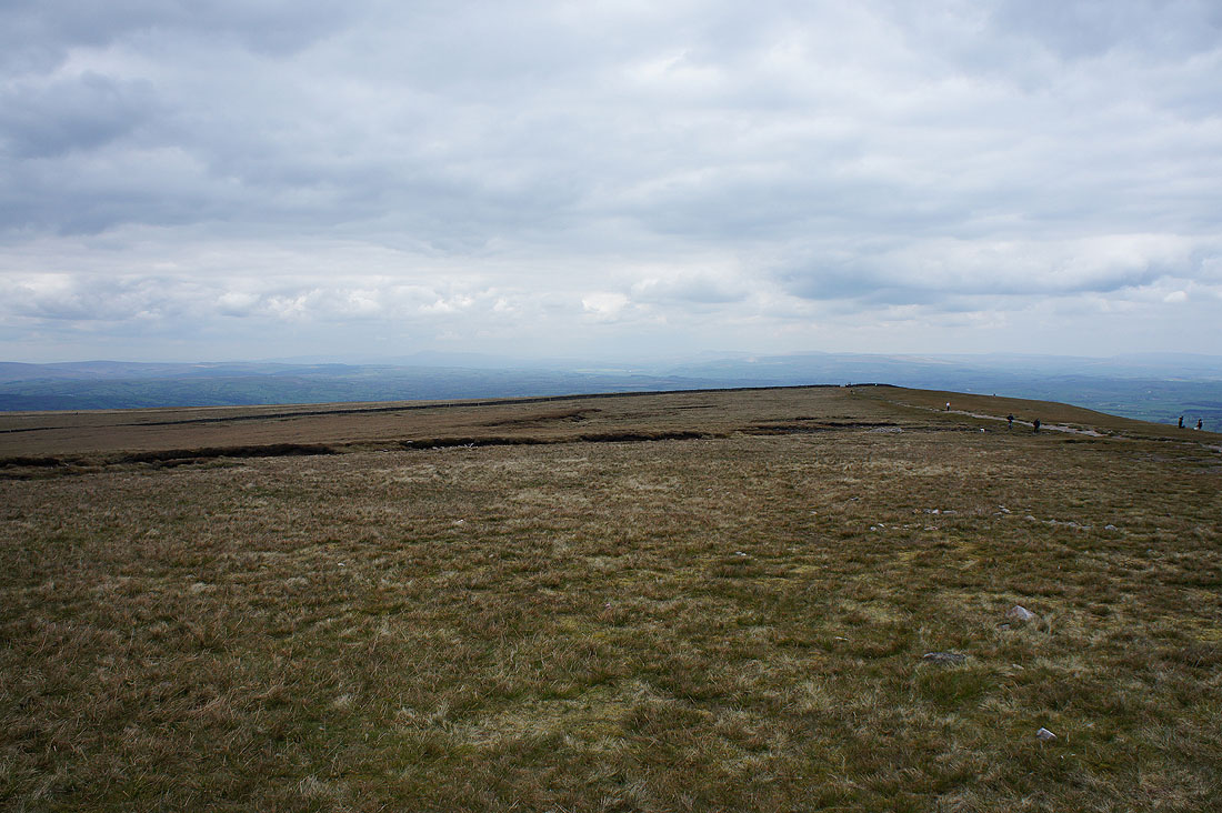
Ingleborough and Penyghent just about visible to the north
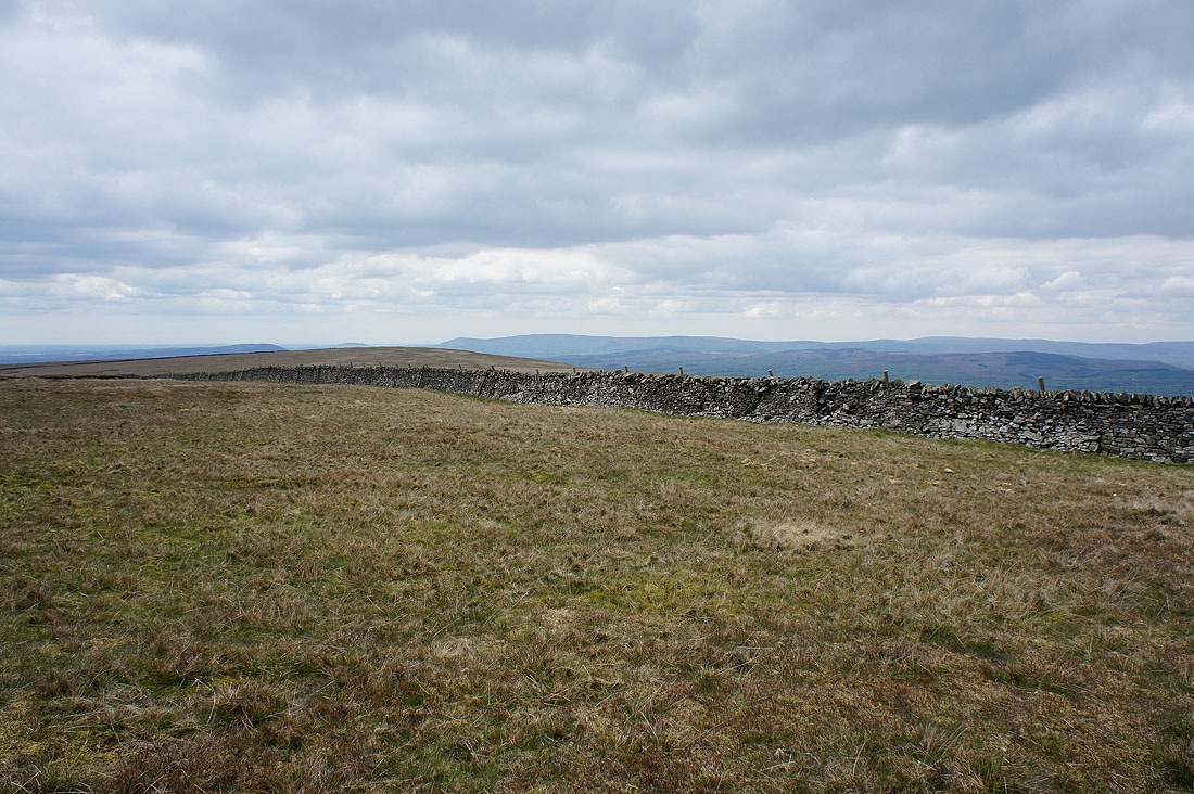
The fells of the Forest of Bowland in the distance as I approach the wall to cross onto Downham Moor
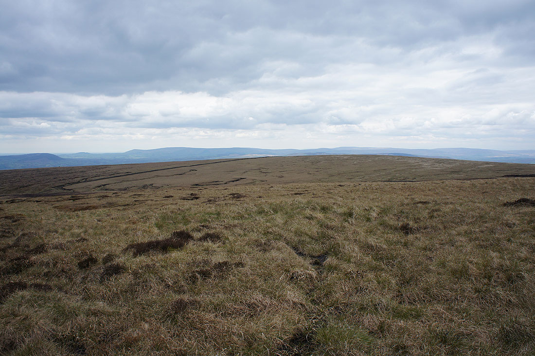
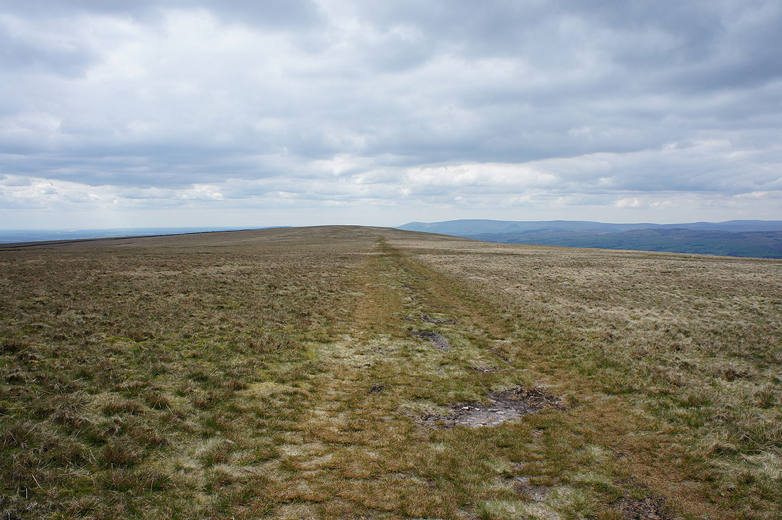
Easy walking west across Downham Moor
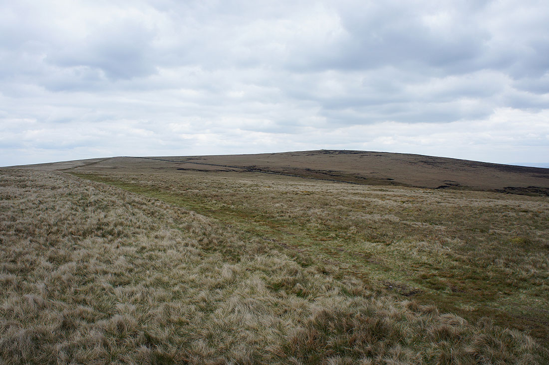
Looking back to the summit
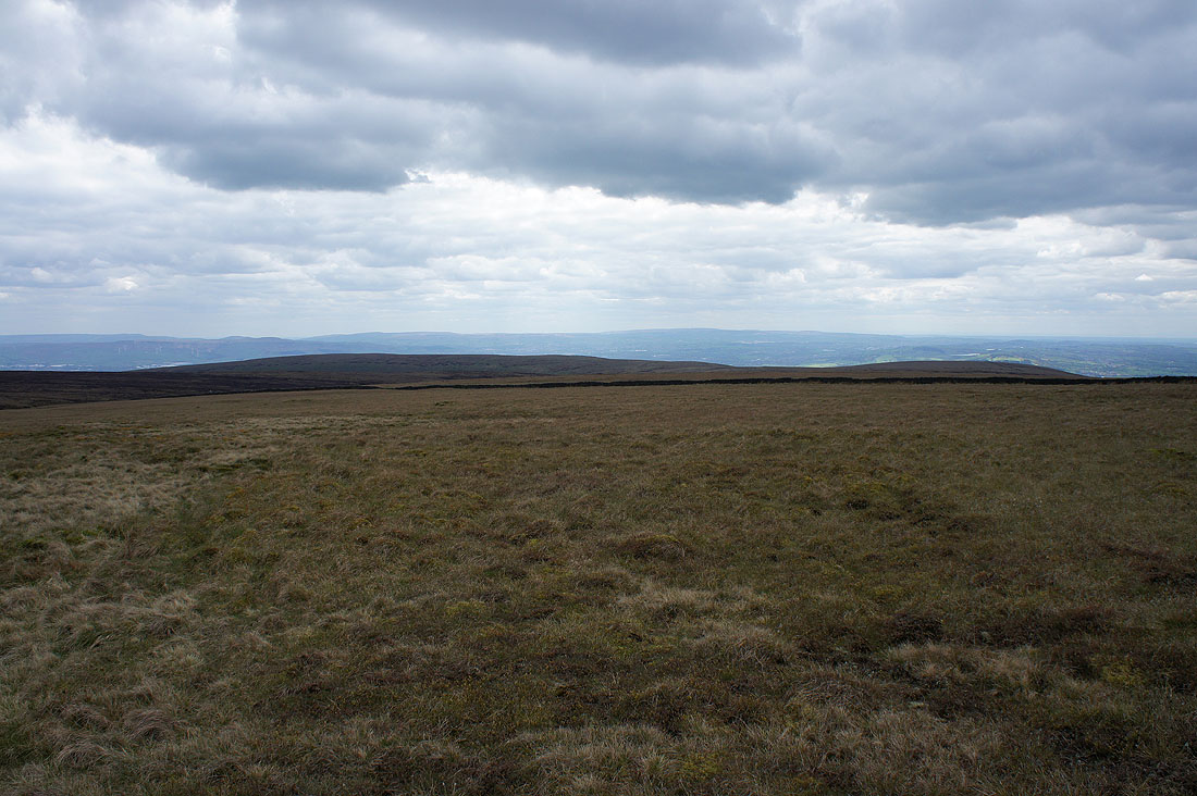
The West Pennine Moors in the distance beyond Spence Moor
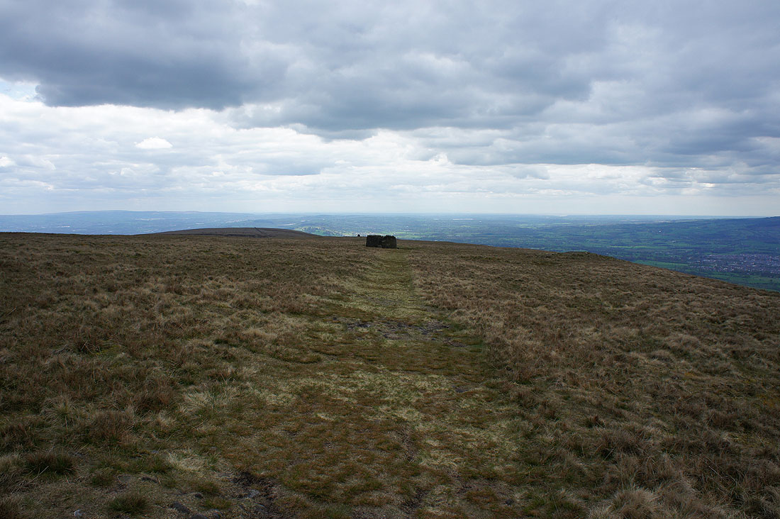
Approaching the circular shelter on Worston Moor..
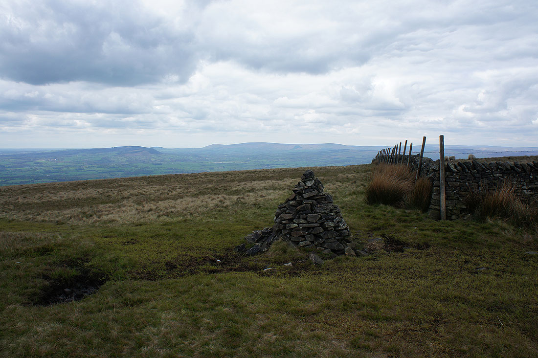
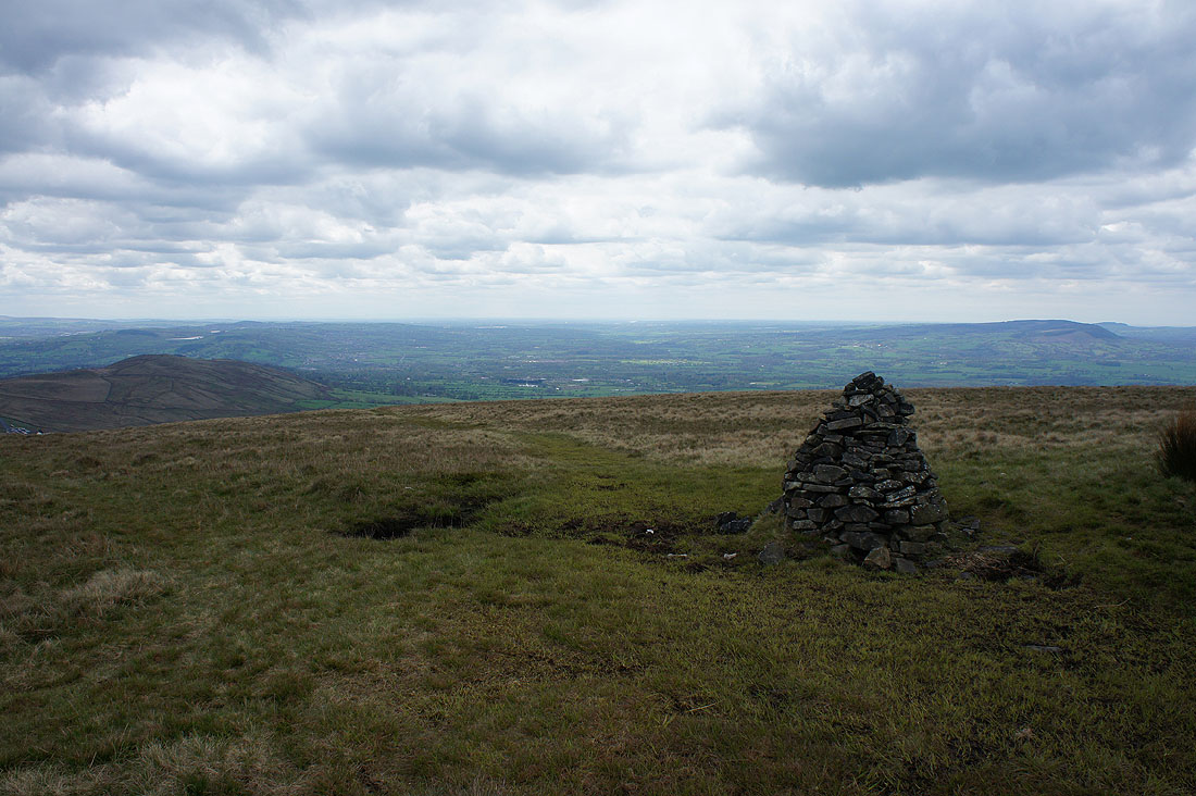
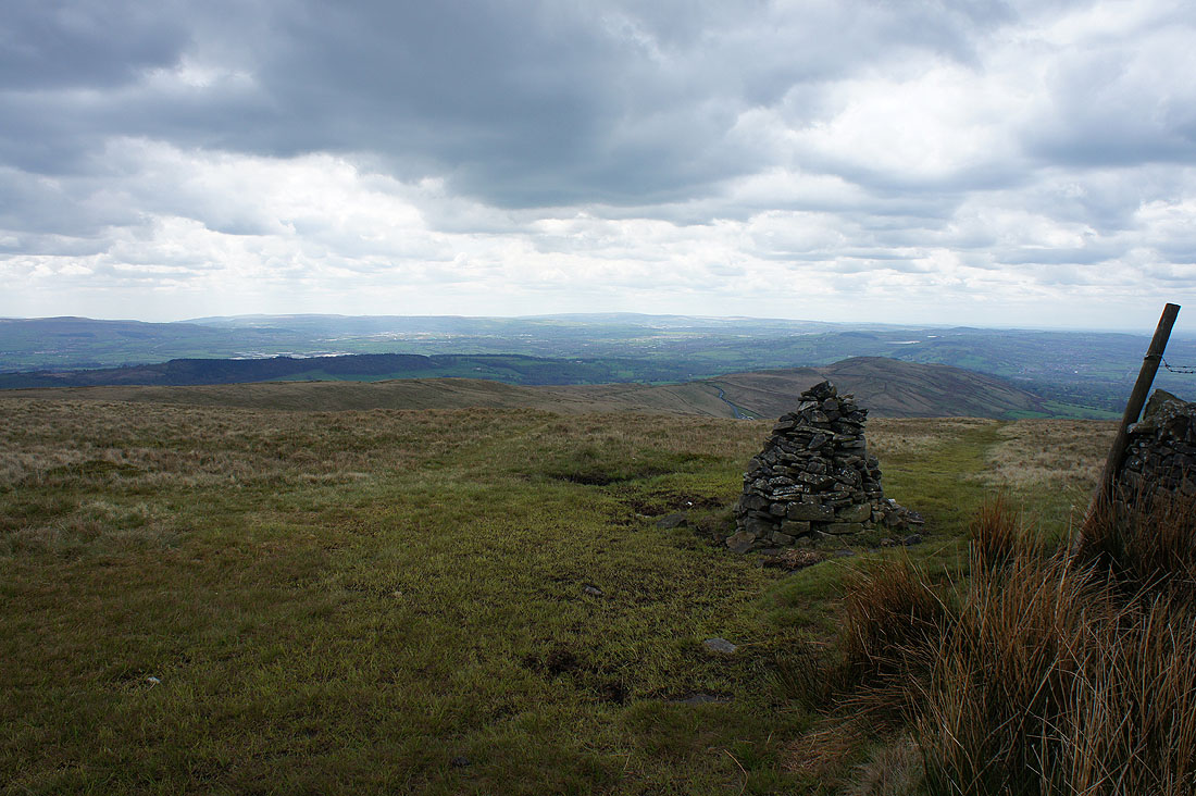
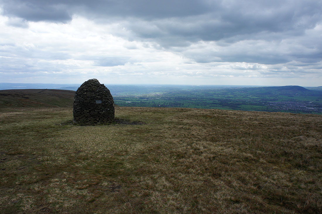
..and then the Scout Cairn
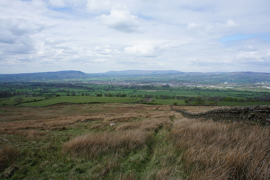
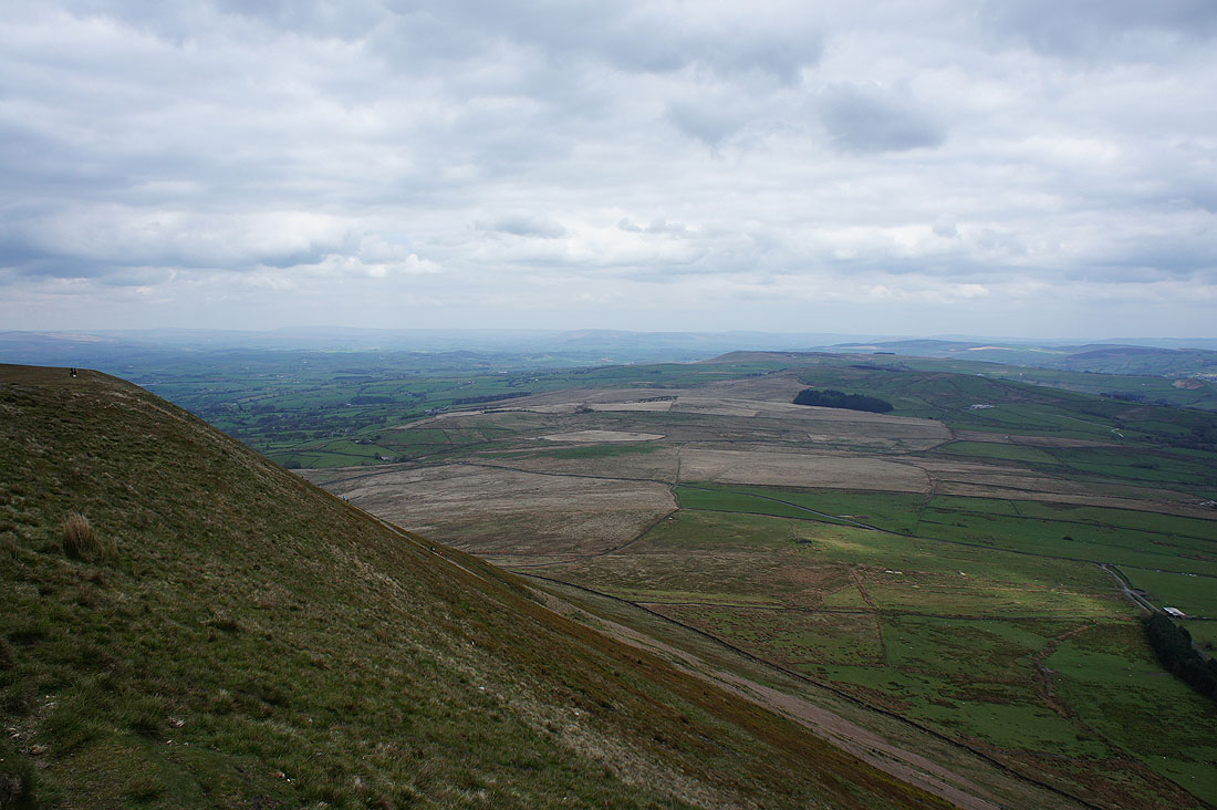
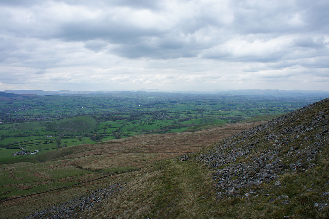
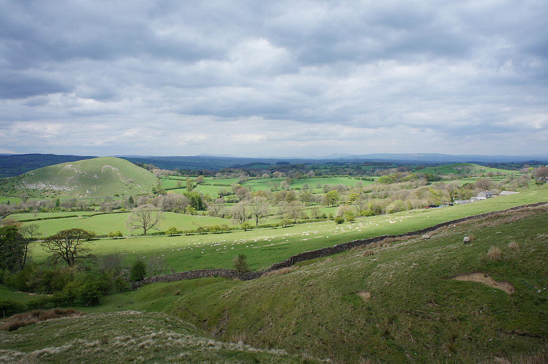
The Ribble Valley below as I make my descent to Burst Clough..
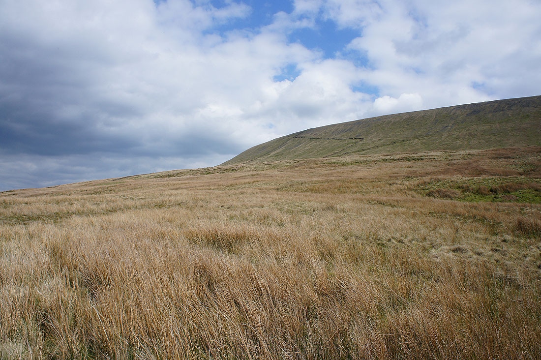
Sunshine brightens up Downham Moor
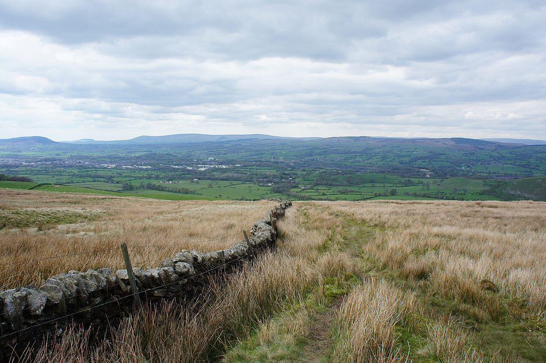
and as I make my final descent to Angram Green a patch of sunshine drifts up the Ribble Valley providing a big contrast between light and shade..
Back in Worston
