29th April 2018 - Whitendale and Whins Brow
Walk Details
Distance walked: 10.5 miles
Total ascent: 2333 ft
OS map used: OL41 - Forest of Bowland & Ribblesdale
Time taken: 5 hrs
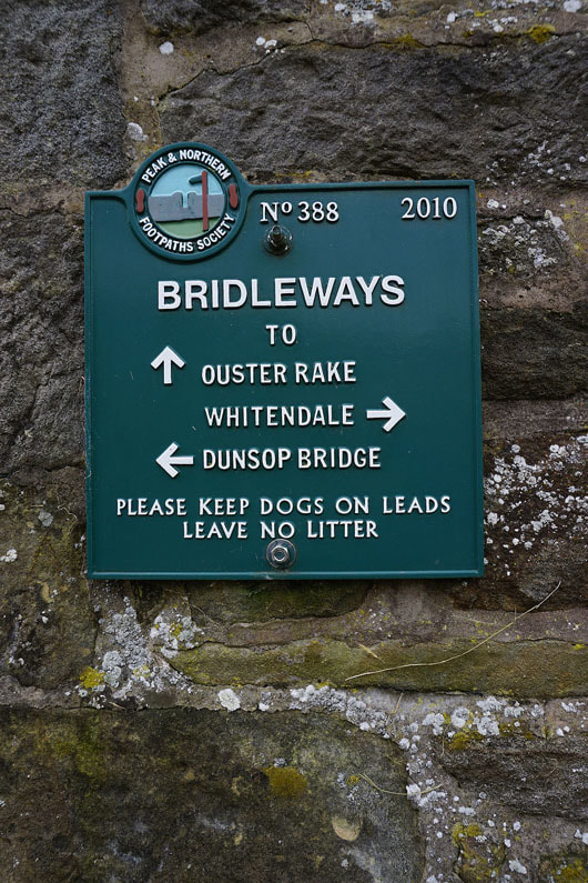
Route description: Dunsop Bridge-Closes Barn-Foot Holme-Whitendale-Whitendale Farm-Brennand Farm-Ouster Rake-Whins Brow-Trough of Bowland-Trough Road-Dunsop Bridge
My second walk of the weekend and one closer to home, from Dunsop Bridge in the Forest of Bowland. The route I decided on was more or less a repeat of one from September 2016 except that I made it a little longer by walking up Whitendale to Whitendale Farm before taking the bridleway across the moor to Brennandale and Brennand Farm. I had thought of doing a there and back visit to Middle Knoll (a hill between Brennandale and Whitendale) from the bridleway but the prospect of crossing boggy looking, pathless and tussocky ground when I saw it didn't appeal to me. It was decidedly fresh when I set off in the morning and not much sunshine and a cool breeze didn't help it warm up, though the recent dry and warm weather meant a reduced amount of wet ground underfoot than usual.
After having a bite to eat in the Puddleducks Tearoom in Dunsop Bridge I set off by crossing the bridge over the River Dunsop and taking the bridleway that follows an access road to Closes Barn, before continuing up the valley to some waterworks buildings. After crossing the river I turned left and then right into Whitendale to continue along the road to its end at Whitendale Farm. From Whitendale Farm I then took the bridleway across to Brennandale amd Brennand Farm. At Brennand Farm I took the Ouster Rake bridleway that heads south up the hillside of Whins Brow and when I reached its top I left it to follow the fence up to the trig point on the top of Whins Brow. After taking in the view from the top I made my way down by the fence to the Trough of Bowland. This left me with a long walk along the Trough road back to Dunsop Bridge.
Total ascent: 2333 ft
OS map used: OL41 - Forest of Bowland & Ribblesdale
Time taken: 5 hrs
Route description: Dunsop Bridge-Closes Barn-Foot Holme-Whitendale-Whitendale Farm-Brennand Farm-Ouster Rake-Whins Brow-Trough of Bowland-Trough Road-Dunsop Bridge
My second walk of the weekend and one closer to home, from Dunsop Bridge in the Forest of Bowland. The route I decided on was more or less a repeat of one from September 2016 except that I made it a little longer by walking up Whitendale to Whitendale Farm before taking the bridleway across the moor to Brennandale and Brennand Farm. I had thought of doing a there and back visit to Middle Knoll (a hill between Brennandale and Whitendale) from the bridleway but the prospect of crossing boggy looking, pathless and tussocky ground when I saw it didn't appeal to me. It was decidedly fresh when I set off in the morning and not much sunshine and a cool breeze didn't help it warm up, though the recent dry and warm weather meant a reduced amount of wet ground underfoot than usual.
After having a bite to eat in the Puddleducks Tearoom in Dunsop Bridge I set off by crossing the bridge over the River Dunsop and taking the bridleway that follows an access road to Closes Barn, before continuing up the valley to some waterworks buildings. After crossing the river I turned left and then right into Whitendale to continue along the road to its end at Whitendale Farm. From Whitendale Farm I then took the bridleway across to Brennandale amd Brennand Farm. At Brennand Farm I took the Ouster Rake bridleway that heads south up the hillside of Whins Brow and when I reached its top I left it to follow the fence up to the trig point on the top of Whins Brow. After taking in the view from the top I made my way down by the fence to the Trough of Bowland. This left me with a long walk along the Trough road back to Dunsop Bridge.
Route map
© Crown copyright. All rights reserved. License number PU 100034184.
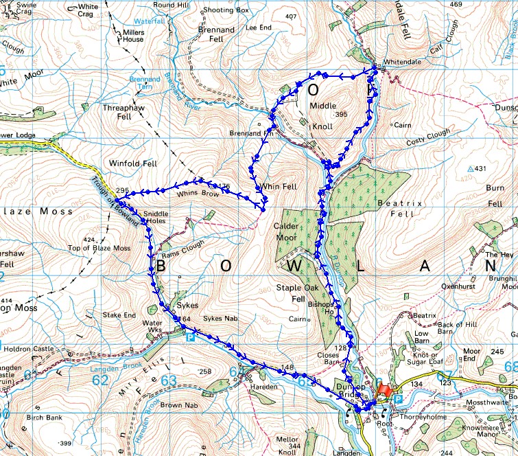
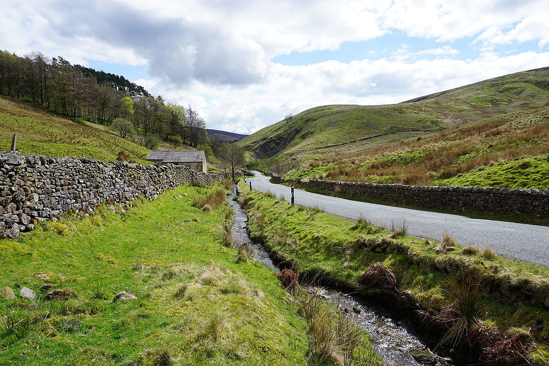
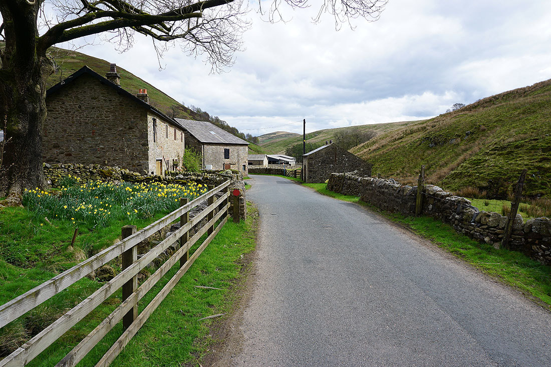
On the bridleway to Closes Barn
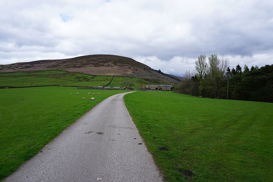
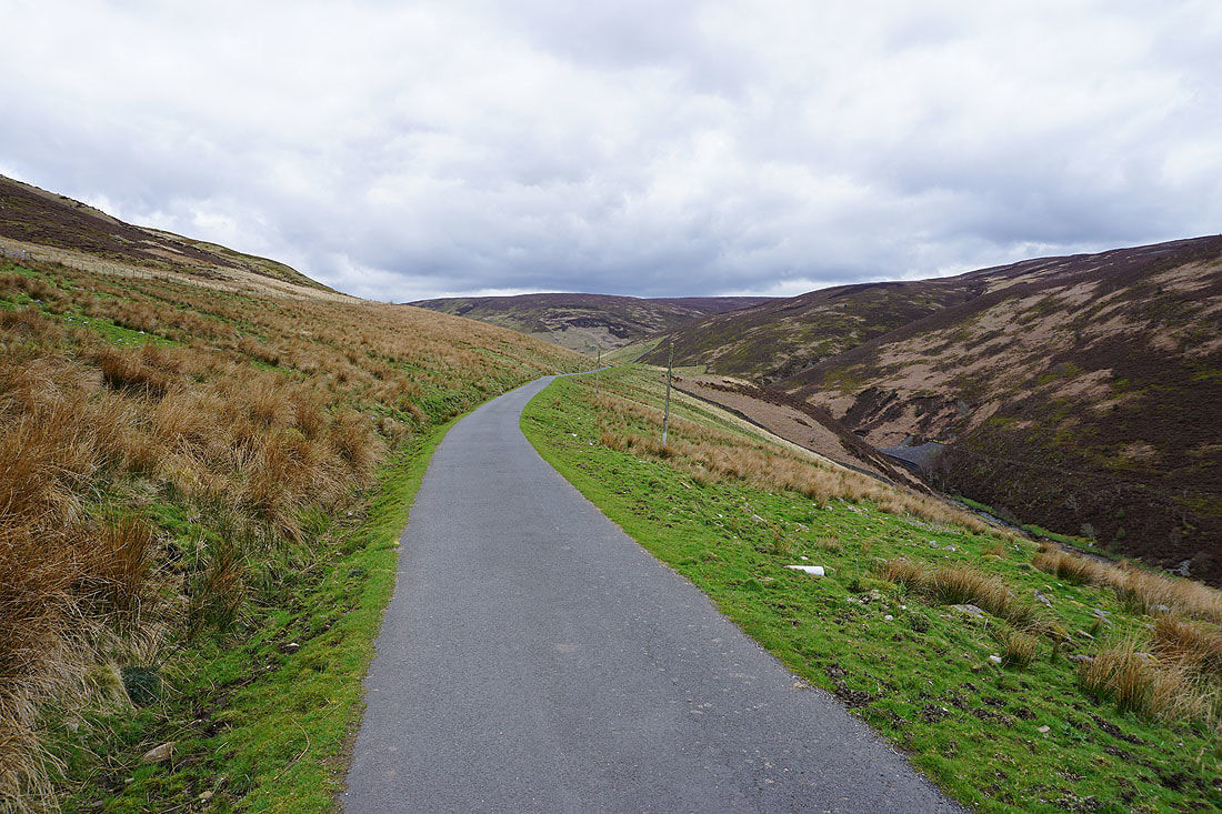
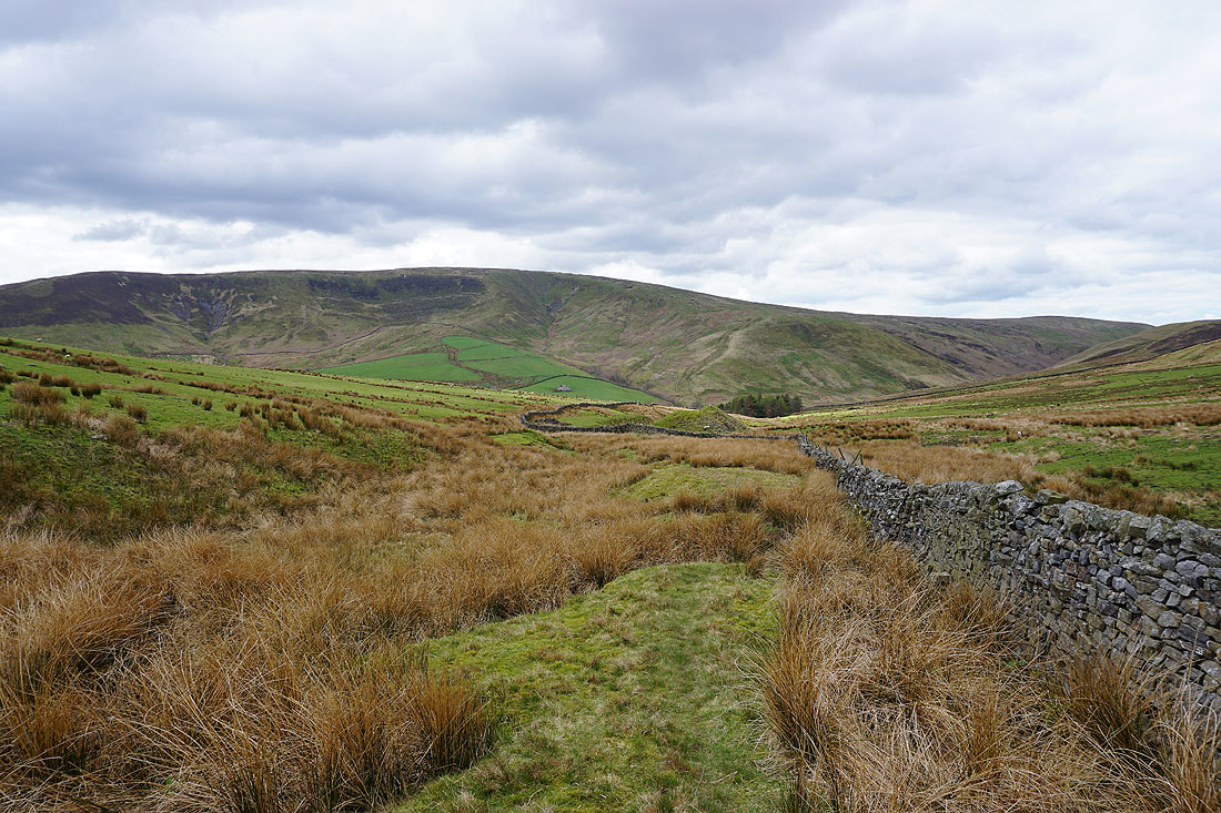
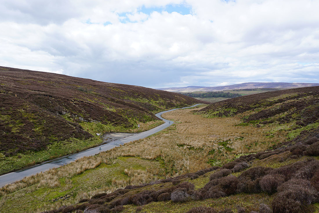
Looking towards the fells around the road to the Trough of Bowland
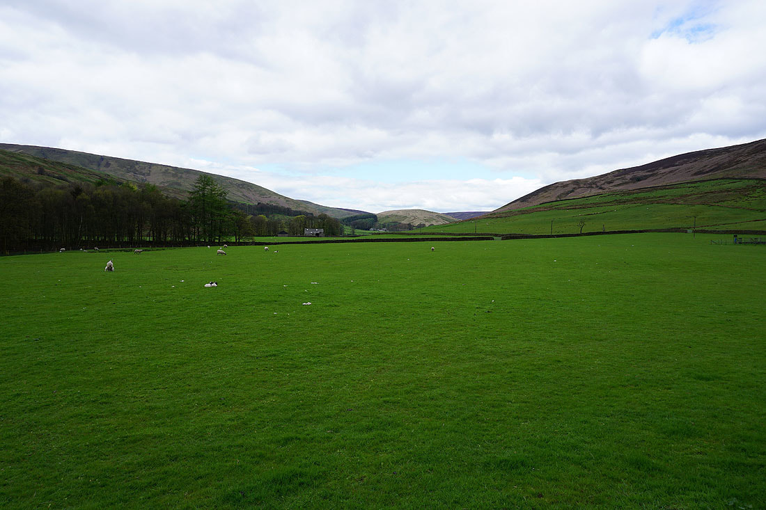
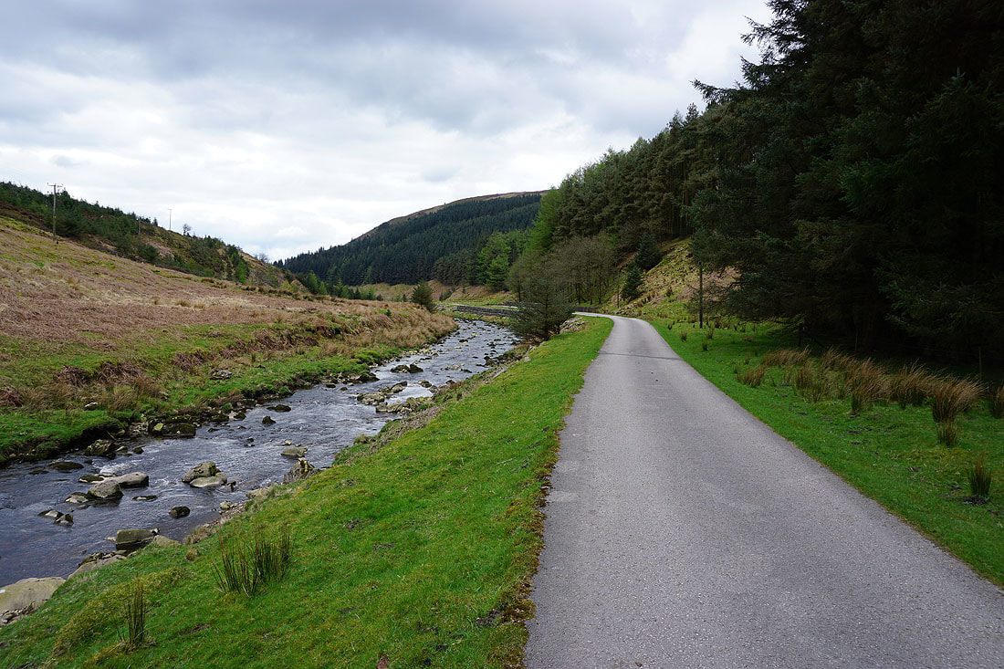
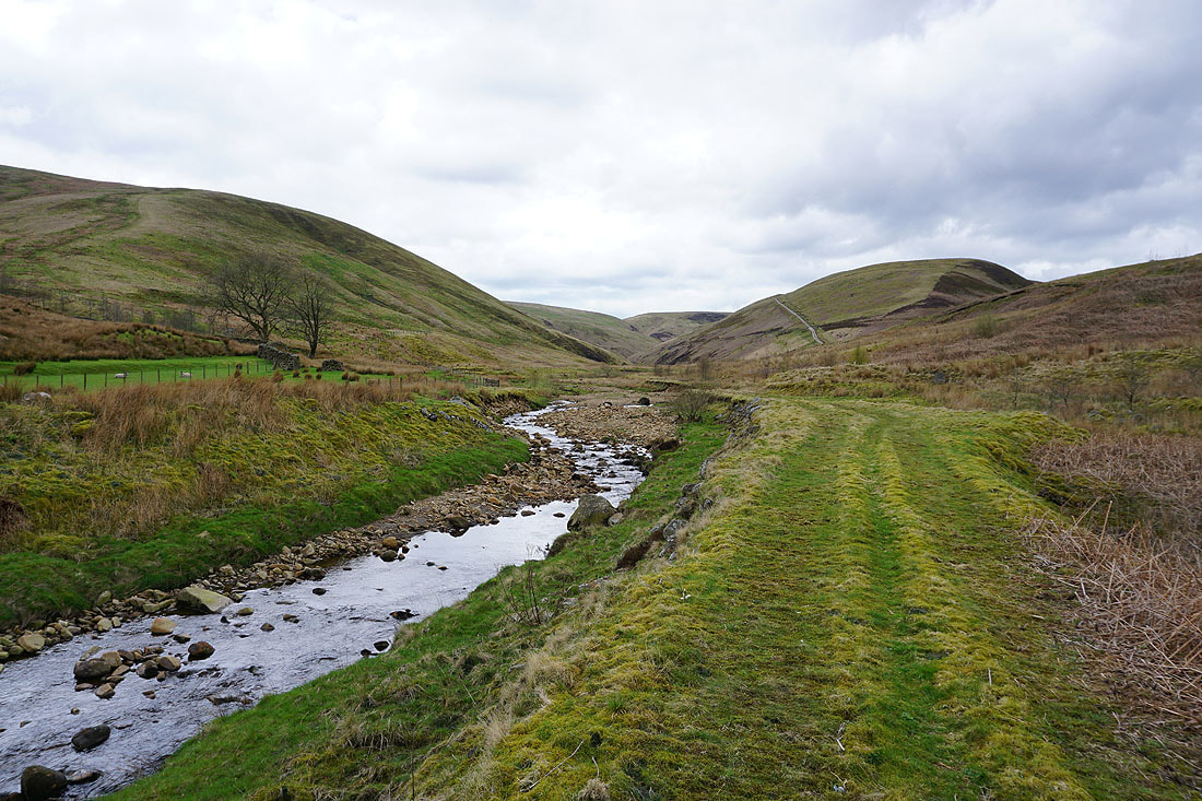
The bridleway then follows a private road up the valley of the River Dunsop
A look back
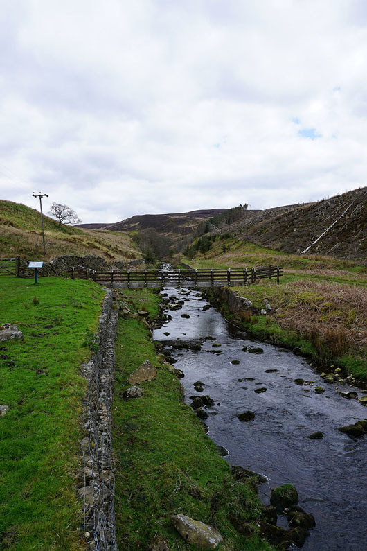
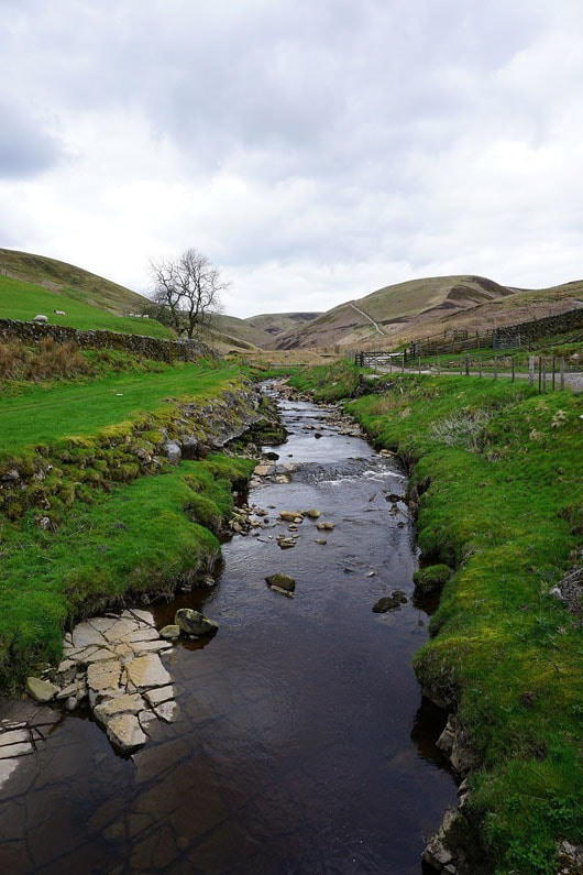
The Whitendale River
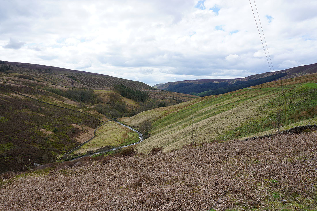
Brennandale. I'm not going that way though.
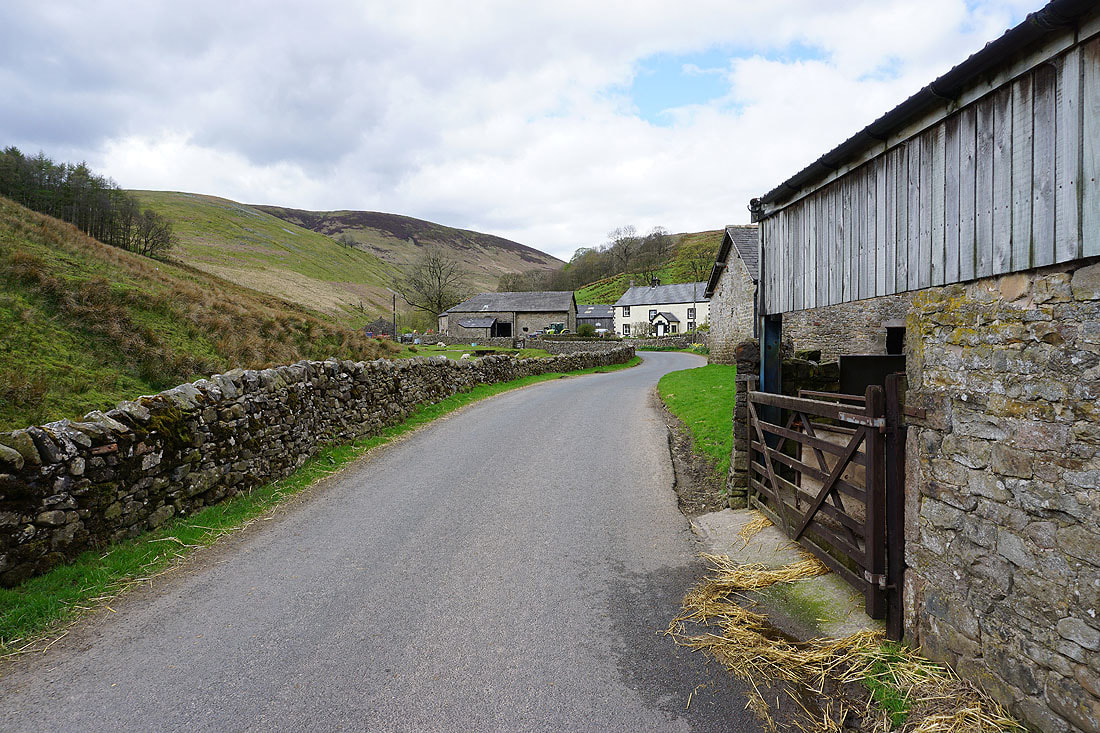
I'm taking the access road up into Whitendale
Looking back down Whitendale
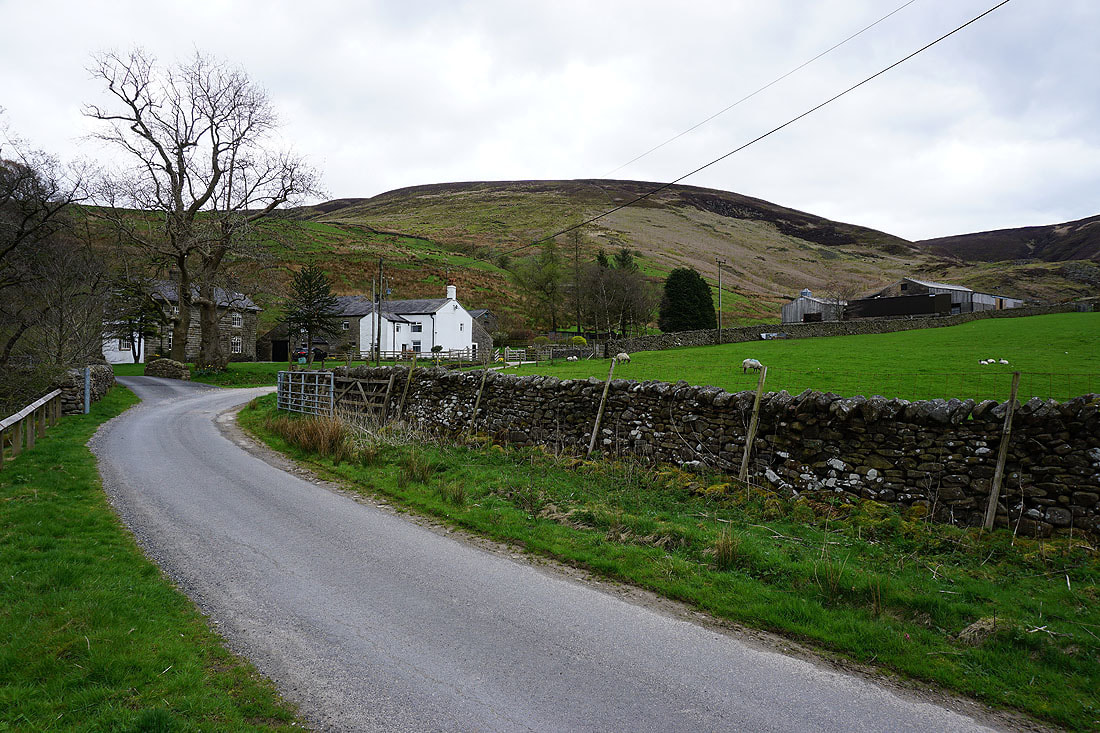
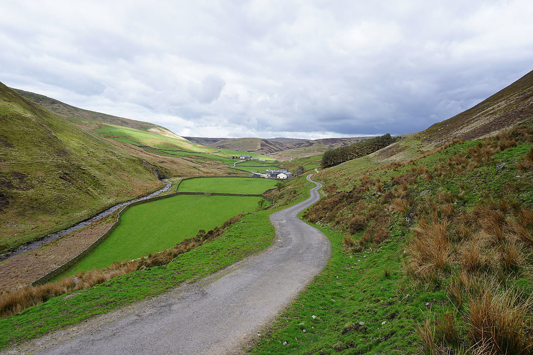
At Whitendale Farm
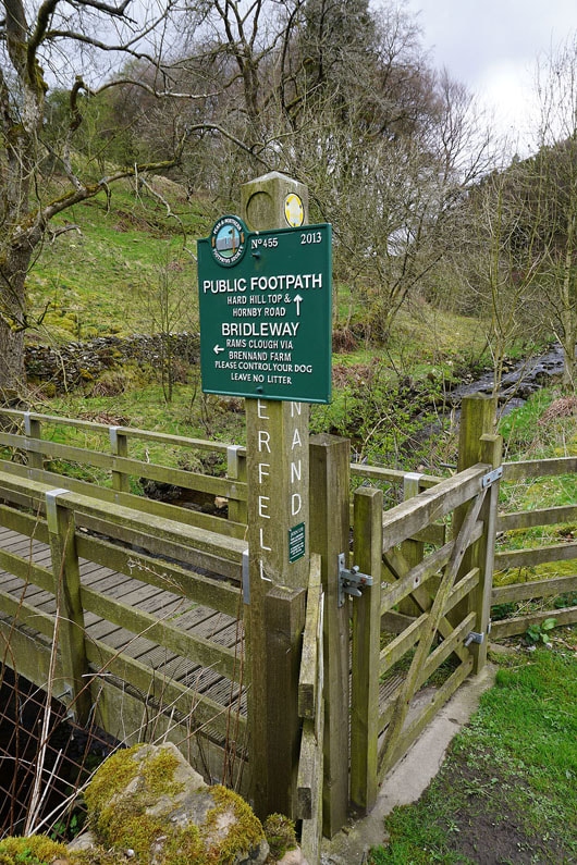
Time to take the bridleway across to Brennandale
|
Looking back to Whitendale Farm
|

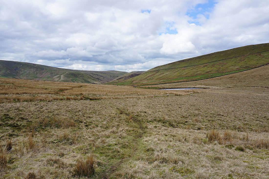
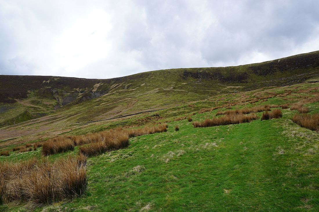
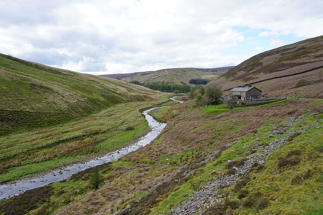
Wild and remote upper Whitendale
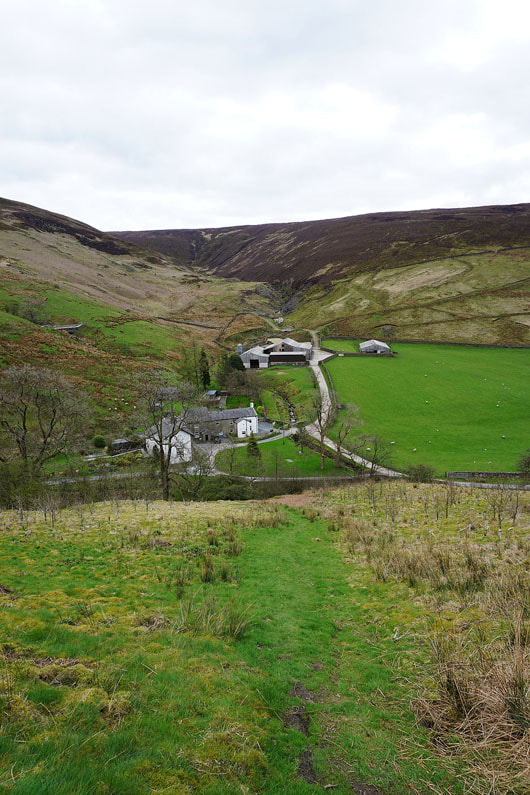
On the bridleway down into Brennandale..
Upper Brennandale
Across Brennand River
|
and then it's onto the Ouster Rake bridleway at Brennand Farm
|
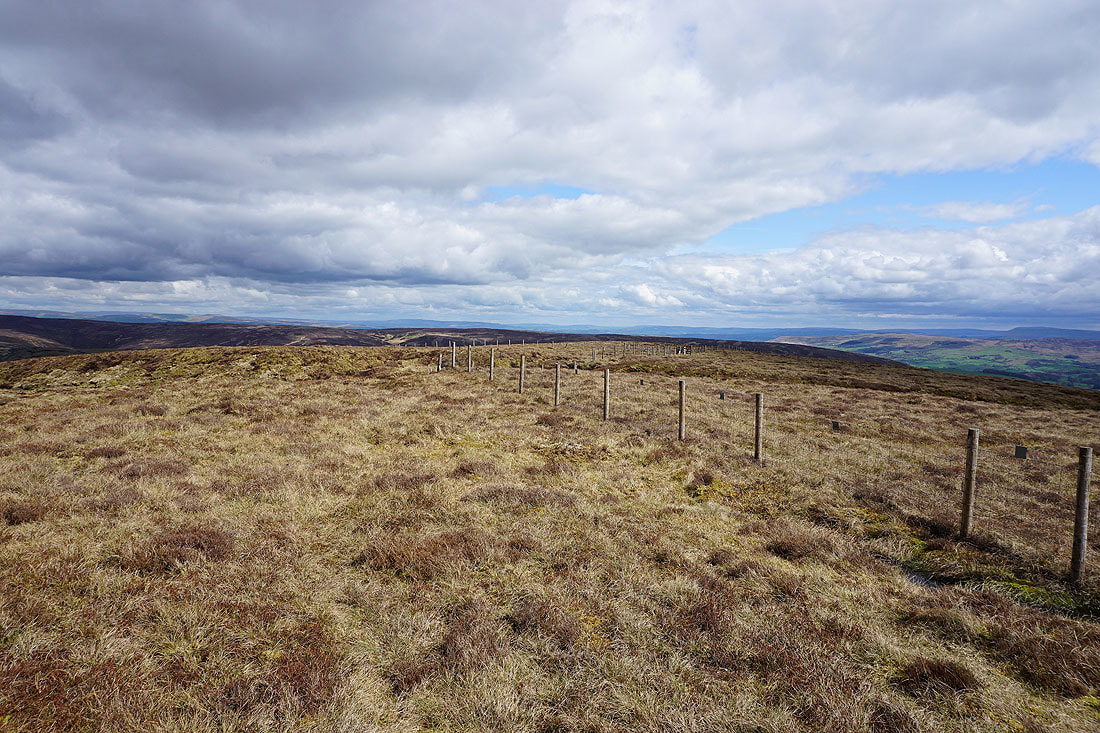
The bridleway contours across the hillside of Whins Brow
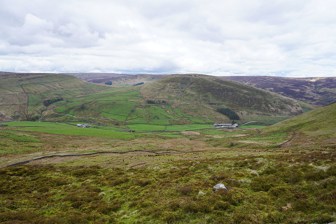
Looking back down on Brennandale
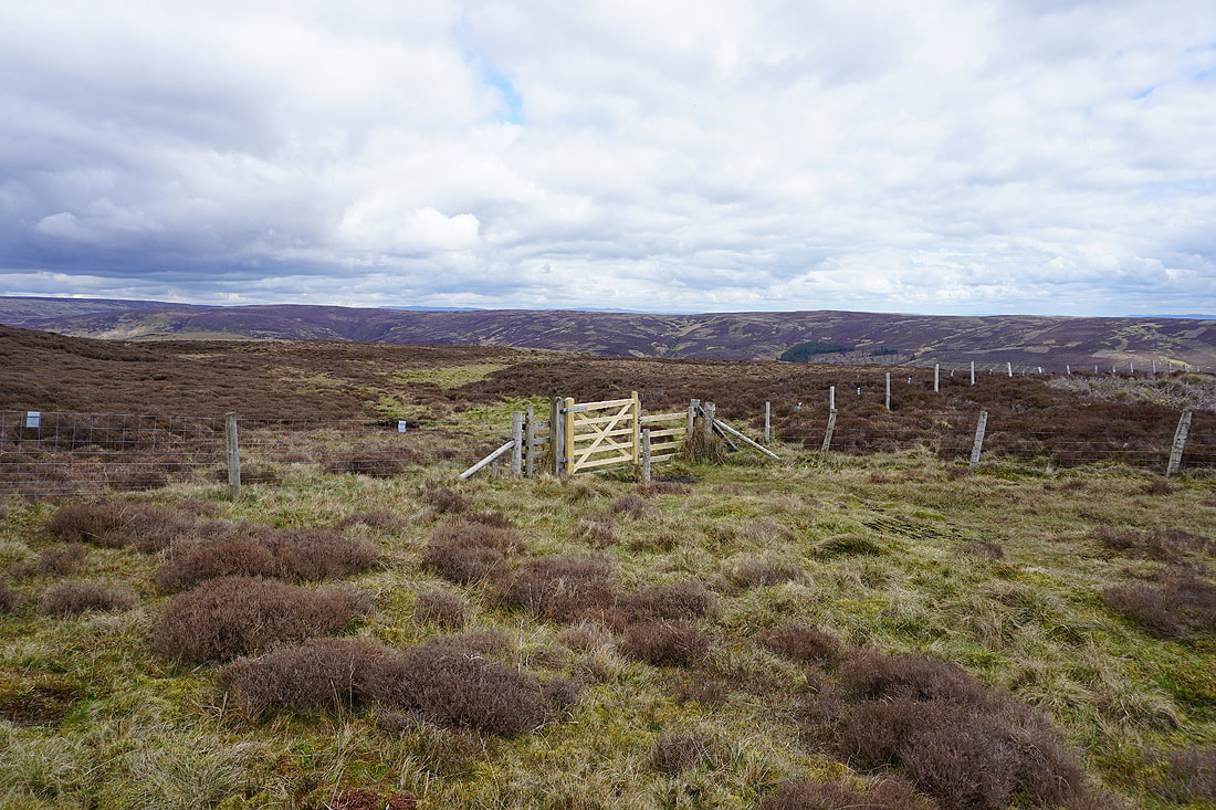
At the top of the bridleway and this is where I leave it to head up to the top of Whins Brow
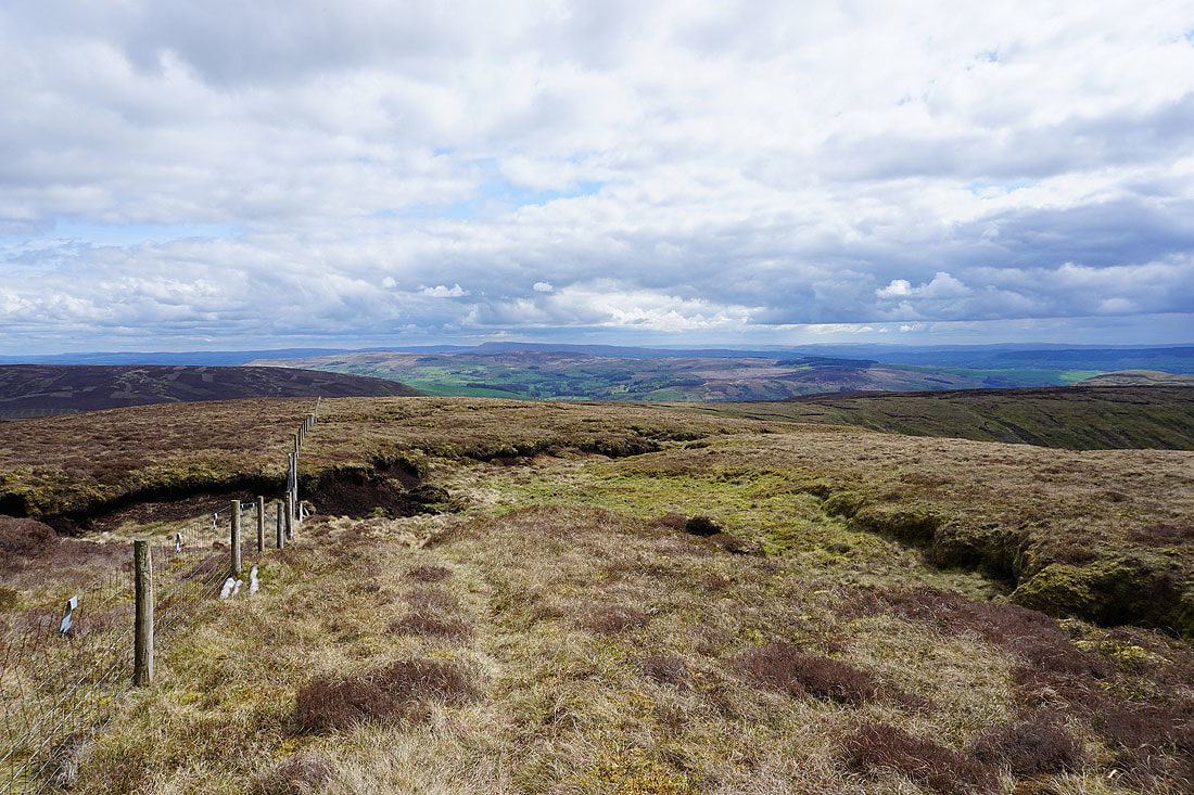
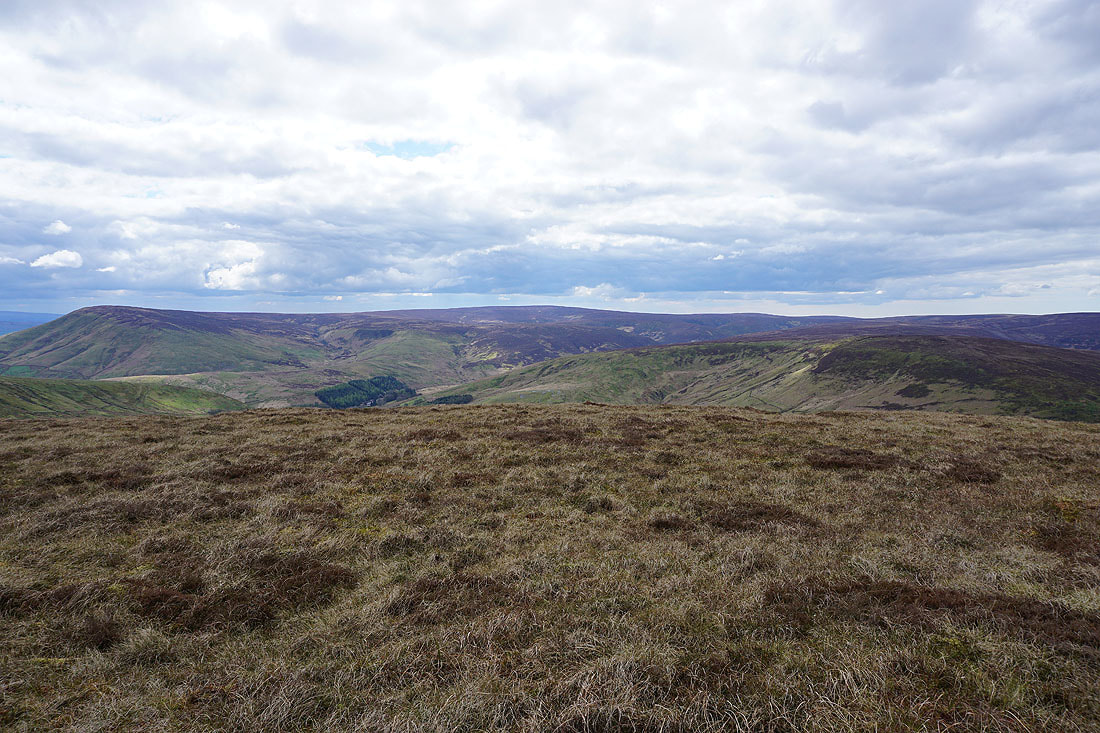
Looking back as I follow the fence up with Pendle Hill in the distance
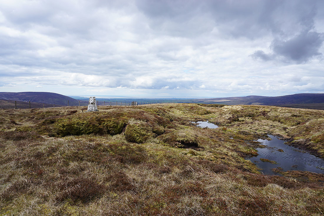
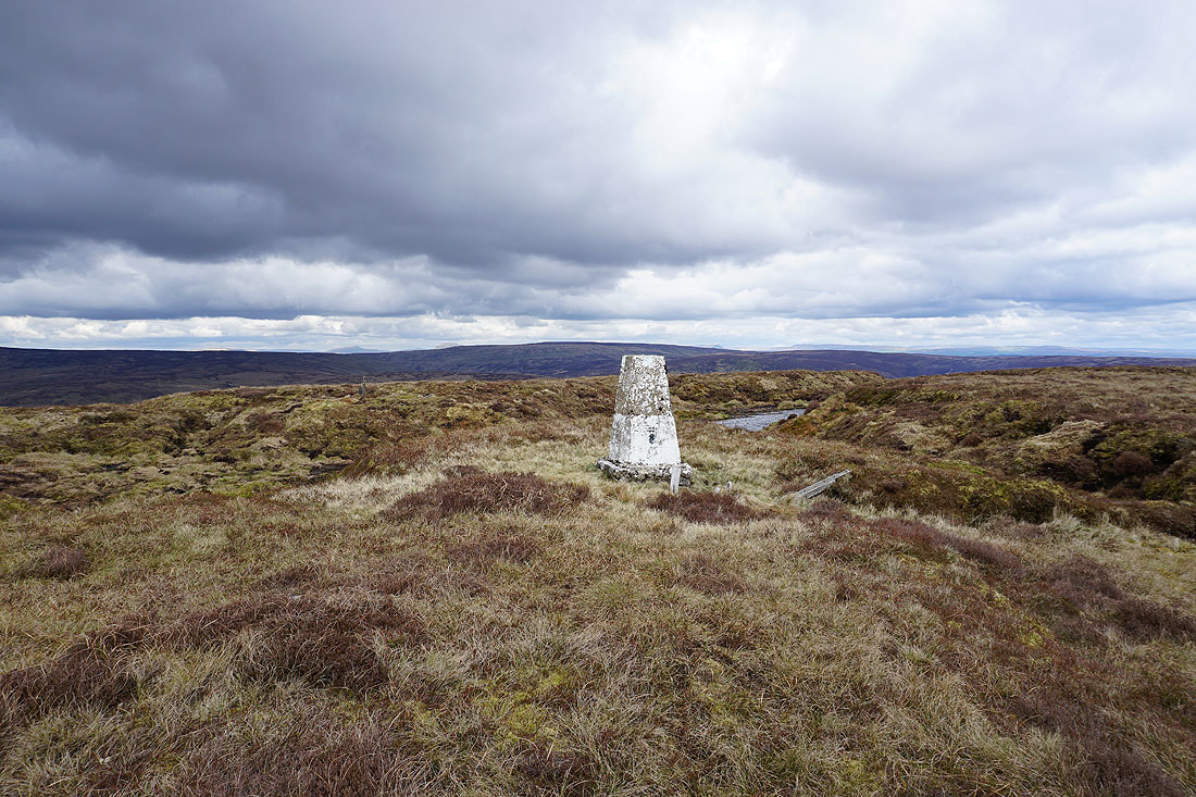
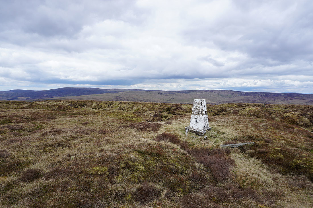
At the trig point on Whins Brow. Looking down Wyresdale to Morecambe Bay.
I can make out the tops of Whernside, Ingleborough, Penyghent and Fountains Fell above the neighbouring Bowland fell of White Hill
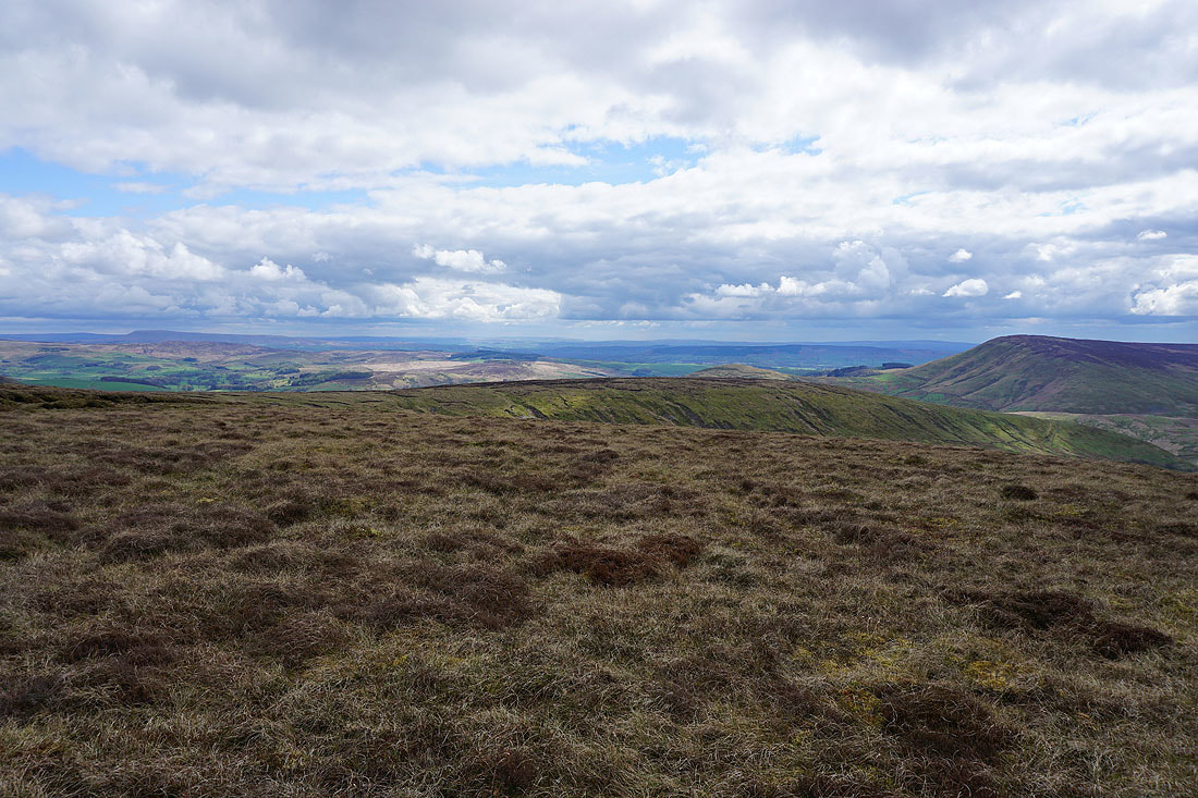
Pendle Hill, Longridge Fell and distant West Pennine Moors
Totridge and Fair Snape Fell
Barden Moor in the Yorkshire Dales and the South Pennines in the distance
Finally, looking north to Ward's Stone and Wolfhole Crag
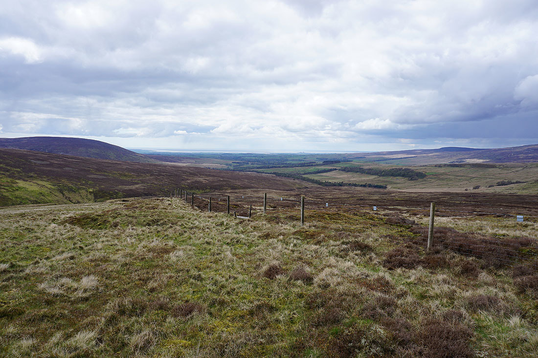
Looking down Wyresdale to Morecambe Bay as I follow a fence down to the..
..Trough of Bowland
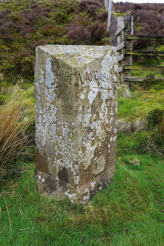
The Grey Stone of Trough
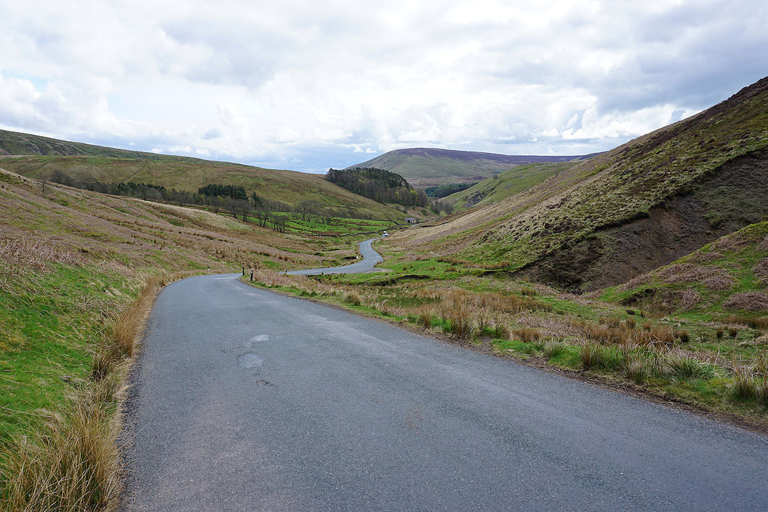
Walking down the Trough road through Losterdale and past Sykes Farm....
Langden Brook and the Bowland Mountain Rescue Centre
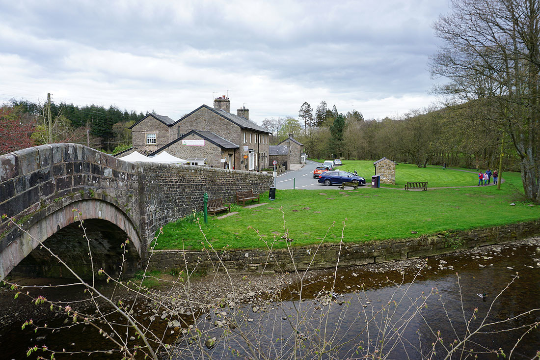
Back in Dunsop Bridge